Mount Manson, Fraser Valley B, BC V0X加拿大的日出日落時間表
Location: 加拿大 > 英屬哥倫比亞 > 合普 >
時區:
America/Vancouver
當地時間:
2025-06-27 05:12:06
經度:
-121.1733333
緯度:
49.3066666
今天日出時間:
05:01:20 AM
今天日落時間:
09:14:34 PM
今天日照時長:
16h 13m 14s
明天日出時間:
05:01:52 AM
明天日落時間:
09:14:26 PM
明天日照時長:
16h 12m 34s
顯示所有日期
| 日期 | 日出 | 日落 | 日照時長 |
|---|---|---|---|
| 2025年01月01日 | 07:59:47 AM | 04:18:03 PM | 8h 18m 16s |
| 2025年01月02日 | 07:59:38 AM | 04:19:07 PM | 8h 19m 29s |
| 2025年01月03日 | 07:59:26 AM | 04:20:13 PM | 8h 20m 47s |
| 2025年01月04日 | 07:59:11 AM | 04:21:21 PM | 8h 22m 10s |
| 2025年01月05日 | 07:58:53 AM | 04:22:32 PM | 8h 23m 39s |
| 2025年01月06日 | 07:58:32 AM | 04:23:45 PM | 8h 25m 13s |
| 2025年01月07日 | 07:58:08 AM | 04:24:59 PM | 8h 26m 51s |
| 2025年01月08日 | 07:57:41 AM | 04:26:16 PM | 8h 28m 35s |
| 2025年01月09日 | 07:57:11 AM | 04:27:34 PM | 8h 30m 23s |
| 2025年01月10日 | 07:56:39 AM | 04:28:54 PM | 8h 32m 15s |
| 2025年01月11日 | 07:56:03 AM | 04:30:15 PM | 8h 34m 12s |
| 2025年01月12日 | 07:55:24 AM | 04:31:39 PM | 8h 36m 15s |
| 2025年01月13日 | 07:54:43 AM | 04:33:03 PM | 8h 38m 20s |
| 2025年01月14日 | 07:53:59 AM | 04:34:30 PM | 8h 40m 31s |
| 2025年01月15日 | 07:53:12 AM | 04:35:57 PM | 8h 42m 45s |
| 2025年01月16日 | 07:52:23 AM | 04:37:26 PM | 8h 45m 3s |
| 2025年01月17日 | 07:51:31 AM | 04:38:56 PM | 8h 47m 25s |
| 2025年01月18日 | 07:50:36 AM | 04:40:27 PM | 8h 49m 51s |
| 2025年01月19日 | 07:49:39 AM | 04:41:59 PM | 8h 52m 20s |
| 2025年01月20日 | 07:48:39 AM | 04:43:32 PM | 8h 54m 53s |
| 2025年01月21日 | 07:47:37 AM | 04:45:06 PM | 8h 57m 29s |
| 2025年01月22日 | 07:46:33 AM | 04:46:41 PM | 9h 0m 8s |
| 2025年01月23日 | 07:45:26 AM | 04:48:17 PM | 9h 2m 51s |
| 2025年01月24日 | 07:44:17 AM | 04:49:53 PM | 9h 5m 36s |
| 2025年01月25日 | 07:43:05 AM | 04:51:30 PM | 9h 8m 25s |
| 2025年01月26日 | 07:41:51 AM | 04:53:08 PM | 9h 11m 17s |
| 2025年01月27日 | 07:40:36 AM | 04:54:46 PM | 9h 14m 10s |
| 2025年01月28日 | 07:39:18 AM | 04:56:25 PM | 9h 17m 7s |
| 2025年01月29日 | 07:37:58 AM | 04:58:04 PM | 9h 20m 6s |
| 2025年01月30日 | 07:36:36 AM | 04:59:44 PM | 9h 23m 8s |
| 2025年01月31日 | 07:35:12 AM | 05:01:23 PM | 9h 26m 11s |
| 2025年02月01日 | 07:33:46 AM | 05:03:04 PM | 9h 29m 18s |
| 2025年02月02日 | 07:32:18 AM | 05:04:44 PM | 9h 32m 26s |
| 2025年02月03日 | 07:30:49 AM | 05:06:24 PM | 9h 35m 35s |
| 2025年02月04日 | 07:29:18 AM | 05:08:05 PM | 9h 38m 47s |
| 2025年02月05日 | 07:27:45 AM | 05:09:46 PM | 9h 42m 1s |
| 2025年02月06日 | 07:26:10 AM | 05:11:27 PM | 9h 45m 17s |
| 2025年02月07日 | 07:24:34 AM | 05:13:08 PM | 9h 48m 34s |
| 2025年02月08日 | 07:22:56 AM | 05:14:48 PM | 9h 51m 52s |
| 2025年02月09日 | 07:21:16 AM | 05:16:29 PM | 9h 55m 13s |
| 2025年02月10日 | 07:19:35 AM | 05:18:10 PM | 9h 58m 35s |
| 2025年02月11日 | 07:17:53 AM | 05:19:51 PM | 10h 1m 58s |
| 2025年02月12日 | 07:16:09 AM | 05:21:32 PM | 10h 5m 23s |
| 2025年02月13日 | 07:14:24 AM | 05:23:12 PM | 10h 8m 48s |
| 2025年02月14日 | 07:12:38 AM | 05:24:52 PM | 10h 12m 14s |
| 2025年02月15日 | 07:10:51 AM | 05:26:33 PM | 10h 15m 42s |
| 2025年02月16日 | 07:09:02 AM | 05:28:13 PM | 10h 19m 11s |
| 2025年02月17日 | 07:07:12 AM | 05:29:52 PM | 10h 22m 40s |
| 2025年02月18日 | 07:05:21 AM | 05:31:32 PM | 10h 26m 11s |
| 2025年02月19日 | 07:03:28 AM | 05:33:11 PM | 10h 29m 43s |
| 2025年02月20日 | 07:01:35 AM | 05:34:50 PM | 10h 33m 15s |
| 2025年02月21日 | 06:59:41 AM | 05:36:29 PM | 10h 36m 48s |
| 2025年02月22日 | 06:57:46 AM | 05:38:08 PM | 10h 40m 22s |
| 2025年02月23日 | 06:55:49 AM | 05:39:46 PM | 10h 43m 57s |
| 2025年02月24日 | 06:53:52 AM | 05:41:24 PM | 10h 47m 32s |
| 2025年02月25日 | 06:51:54 AM | 05:43:02 PM | 10h 51m 8s |
| 2025年02月26日 | 06:49:56 AM | 05:44:39 PM | 10h 54m 43s |
| 2025年02月27日 | 06:47:56 AM | 05:46:17 PM | 10h 58m 21s |
| 2025年02月28日 | 06:45:56 AM | 05:47:54 PM | 11h 1m 58s |
| 2025年03月01日 | 06:43:55 AM | 05:49:30 PM | 11h 5m 35s |
| 2025年03月02日 | 06:41:53 AM | 05:51:07 PM | 11h 9m 14s |
| 2025年03月03日 | 06:39:51 AM | 05:52:43 PM | 11h 12m 52s |
| 2025年03月04日 | 06:37:48 AM | 05:54:19 PM | 11h 16m 31s |
| 2025年03月05日 | 06:35:44 AM | 05:55:54 PM | 11h 20m 10s |
| 2025年03月06日 | 06:33:40 AM | 05:57:30 PM | 11h 23m 50s |
| 2025年03月07日 | 06:31:36 AM | 05:59:05 PM | 11h 27m 29s |
| 2025年03月08日 | 06:29:31 AM | 06:00:40 PM | 11h 31m 9s |
| 2025年03月09日 | 07:27:31 AM | 07:02:10 PM | 11h 34m 39s |
| 2025年03月10日 | 07:25:25 AM | 07:03:45 PM | 11h 38m 20s |
| 2025年03月11日 | 07:23:19 AM | 07:05:19 PM | 11h 42m 0s |
| 2025年03月12日 | 07:21:12 AM | 07:06:53 PM | 11h 45m 41s |
| 2025年03月13日 | 07:19:05 AM | 07:08:26 PM | 11h 49m 21s |
| 2025年03月14日 | 07:16:58 AM | 07:10:00 PM | 11h 53m 2s |
| 2025年03月15日 | 07:14:51 AM | 07:11:33 PM | 11h 56m 42s |
| 2025年03月16日 | 07:12:43 AM | 07:13:06 PM | 12h 0m 23s |
| 2025年03月17日 | 07:10:35 AM | 07:14:39 PM | 12h 4m 4s |
| 2025年03月18日 | 07:08:27 AM | 07:16:12 PM | 12h 7m 45s |
| 2025年03月19日 | 07:06:19 AM | 07:17:44 PM | 12h 11m 25s |
| 2025年03月20日 | 07:04:11 AM | 07:19:17 PM | 12h 15m 6s |
| 2025年03月21日 | 07:02:03 AM | 07:20:49 PM | 12h 18m 46s |
| 2025年03月22日 | 06:59:55 AM | 07:22:21 PM | 12h 22m 26s |
| 2025年03月23日 | 06:57:47 AM | 07:23:53 PM | 12h 26m 6s |
| 2025年03月24日 | 06:55:39 AM | 07:25:25 PM | 12h 29m 46s |
| 2025年03月25日 | 06:53:31 AM | 07:26:57 PM | 12h 33m 26s |
| 2025年03月26日 | 06:51:23 AM | 07:28:29 PM | 12h 37m 6s |
| 2025年03月27日 | 06:49:15 AM | 07:30:01 PM | 12h 40m 46s |
| 2025年03月28日 | 06:47:07 AM | 07:31:32 PM | 12h 44m 25s |
| 2025年03月29日 | 06:45:00 AM | 07:33:04 PM | 12h 48m 4s |
| 2025年03月30日 | 06:42:52 AM | 07:34:35 PM | 12h 51m 43s |
| 2025年03月31日 | 06:40:45 AM | 07:36:07 PM | 12h 55m 22s |
| 2025年04月01日 | 06:38:38 AM | 07:37:38 PM | 12h 59m 0s |
| 2025年04月02日 | 06:36:32 AM | 07:39:10 PM | 13h 2m 38s |
| 2025年04月03日 | 06:34:26 AM | 07:40:41 PM | 13h 6m 15s |
| 2025年04月04日 | 06:32:20 AM | 07:42:12 PM | 13h 9m 52s |
| 2025年04月05日 | 06:30:15 AM | 07:43:43 PM | 13h 13m 28s |
| 2025年04月06日 | 06:28:10 AM | 07:45:15 PM | 13h 17m 5s |
| 2025年04月07日 | 06:26:06 AM | 07:46:46 PM | 13h 20m 40s |
| 2025年04月08日 | 06:24:02 AM | 07:48:17 PM | 13h 24m 15s |
| 2025年04月09日 | 06:21:59 AM | 07:49:48 PM | 13h 27m 49s |
| 2025年04月10日 | 06:19:56 AM | 07:51:20 PM | 13h 31m 24s |
| 2025年04月11日 | 06:17:54 AM | 07:52:51 PM | 13h 34m 57s |
| 2025年04月12日 | 06:15:52 AM | 07:54:22 PM | 13h 38m 30s |
| 2025年04月13日 | 06:13:51 AM | 07:55:53 PM | 13h 42m 2s |
| 2025年04月14日 | 06:11:51 AM | 07:57:24 PM | 13h 45m 33s |
| 2025年04月15日 | 06:09:52 AM | 07:58:56 PM | 13h 49m 4s |
| 2025年04月16日 | 06:07:53 AM | 08:00:27 PM | 13h 52m 34s |
| 2025年04月17日 | 06:05:56 AM | 08:01:58 PM | 13h 56m 2s |
| 2025年04月18日 | 06:03:59 AM | 08:03:29 PM | 13h 59m 30s |
| 2025年04月19日 | 06:02:03 AM | 08:05:00 PM | 14h 2m 57s |
| 2025年04月20日 | 06:00:08 AM | 08:06:31 PM | 14h 6m 23s |
| 2025年04月21日 | 05:58:14 AM | 08:08:02 PM | 14h 9m 48s |
| 2025年04月22日 | 05:56:20 AM | 08:09:32 PM | 14h 13m 12s |
| 2025年04月23日 | 05:54:28 AM | 08:11:03 PM | 14h 16m 35s |
| 2025年04月24日 | 05:52:37 AM | 08:12:34 PM | 14h 19m 57s |
| 2025年04月25日 | 05:50:48 AM | 08:14:04 PM | 14h 23m 16s |
| 2025年04月26日 | 05:48:59 AM | 08:15:34 PM | 14h 26m 35s |
| 2025年04月27日 | 05:47:11 AM | 08:17:04 PM | 14h 29m 53s |
| 2025年04月28日 | 05:45:25 AM | 08:18:34 PM | 14h 33m 9s |
| 2025年04月29日 | 05:43:40 AM | 08:20:04 PM | 14h 36m 24s |
| 2025年04月30日 | 05:41:56 AM | 08:21:33 PM | 14h 39m 37s |
| 2025年05月01日 | 05:40:14 AM | 08:23:02 PM | 14h 42m 48s |
| 2025年05月02日 | 05:38:33 AM | 08:24:31 PM | 14h 45m 58s |
| 2025年05月03日 | 05:36:54 AM | 08:25:59 PM | 14h 49m 5s |
| 2025年05月04日 | 05:35:16 AM | 08:27:27 PM | 14h 52m 11s |
| 2025年05月05日 | 05:33:40 AM | 08:28:55 PM | 14h 55m 15s |
| 2025年05月06日 | 05:32:05 AM | 08:30:22 PM | 14h 58m 17s |
| 2025年05月07日 | 05:30:31 AM | 08:31:49 PM | 15h 1m 18s |
| 2025年05月08日 | 05:29:00 AM | 08:33:15 PM | 15h 4m 15s |
| 2025年05月09日 | 05:27:30 AM | 08:34:41 PM | 15h 7m 11s |
| 2025年05月10日 | 05:26:02 AM | 08:36:06 PM | 15h 10m 4s |
| 2025年05月11日 | 05:24:36 AM | 08:37:30 PM | 15h 12m 54s |
| 2025年05月12日 | 05:23:11 AM | 08:38:54 PM | 15h 15m 43s |
| 2025年05月13日 | 05:21:49 AM | 08:40:17 PM | 15h 18m 28s |
| 2025年05月14日 | 05:20:28 AM | 08:41:39 PM | 15h 21m 11s |
| 2025年05月15日 | 05:19:09 AM | 08:43:00 PM | 15h 23m 51s |
| 2025年05月16日 | 05:17:53 AM | 08:44:20 PM | 15h 26m 27s |
| 2025年05月17日 | 05:16:38 AM | 08:45:40 PM | 15h 29m 2s |
| 2025年05月18日 | 05:15:26 AM | 08:46:58 PM | 15h 31m 32s |
| 2025年05月19日 | 05:14:15 AM | 08:48:15 PM | 15h 34m 0s |
| 2025年05月20日 | 05:13:07 AM | 08:49:32 PM | 15h 36m 25s |
| 2025年05月21日 | 05:12:01 AM | 08:50:47 PM | 15h 38m 46s |
| 2025年05月22日 | 05:10:58 AM | 08:52:01 PM | 15h 41m 3s |
| 2025年05月23日 | 05:09:57 AM | 08:53:13 PM | 15h 43m 16s |
| 2025年05月24日 | 05:08:58 AM | 08:54:24 PM | 15h 45m 26s |
| 2025年05月25日 | 05:08:01 AM | 08:55:34 PM | 15h 47m 33s |
| 2025年05月26日 | 05:07:07 AM | 08:56:42 PM | 15h 49m 35s |
| 2025年05月27日 | 05:06:15 AM | 08:57:49 PM | 15h 51m 34s |
| 2025年05月28日 | 05:05:26 AM | 08:58:54 PM | 15h 53m 28s |
| 2025年05月29日 | 05:04:39 AM | 08:59:58 PM | 15h 55m 19s |
| 2025年05月30日 | 05:03:55 AM | 09:00:59 PM | 15h 57m 4s |
| 2025年05月31日 | 05:03:14 AM | 09:01:59 PM | 15h 58m 45s |
| 2025年06月01日 | 05:02:35 AM | 09:02:57 PM | 16h 0m 22s |
| 2025年06月02日 | 05:01:59 AM | 09:03:53 PM | 16h 1m 54s |
| 2025年06月03日 | 05:01:25 AM | 09:04:48 PM | 16h 3m 23s |
| 2025年06月04日 | 05:00:54 AM | 09:05:40 PM | 16h 4m 46s |
| 2025年06月05日 | 05:00:26 AM | 09:06:30 PM | 16h 6m 4s |
| 2025年06月06日 | 05:00:00 AM | 09:07:18 PM | 16h 7m 18s |
| 2025年06月07日 | 04:59:38 AM | 09:08:04 PM | 16h 8m 26s |
| 2025年06月08日 | 04:59:18 AM | 09:08:47 PM | 16h 9m 29s |
| 2025年06月09日 | 04:59:01 AM | 09:09:28 PM | 16h 10m 27s |
| 2025年06月10日 | 04:58:46 AM | 09:10:07 PM | 16h 11m 21s |
| 2025年06月11日 | 04:58:35 AM | 09:10:44 PM | 16h 12m 9s |
| 2025年06月12日 | 04:58:26 AM | 09:11:18 PM | 16h 12m 52s |
| 2025年06月13日 | 04:58:20 AM | 09:11:49 PM | 16h 13m 29s |
| 2025年06月14日 | 04:58:17 AM | 09:12:18 PM | 16h 14m 1s |
| 2025年06月15日 | 04:58:16 AM | 09:12:44 PM | 16h 14m 28s |
| 2025年06月16日 | 04:58:18 AM | 09:13:08 PM | 16h 14m 50s |
| 2025年06月17日 | 04:58:23 AM | 09:13:29 PM | 16h 15m 6s |
| 2025年06月18日 | 04:58:31 AM | 09:13:48 PM | 16h 15m 17s |
| 2025年06月19日 | 04:58:41 AM | 09:14:03 PM | 16h 15m 22s |
| 2025年06月20日 | 04:58:55 AM | 09:14:16 PM | 16h 15m 21s |
| 2025年06月21日 | 04:59:10 AM | 09:14:27 PM | 16h 15m 17s |
| 2025年06月22日 | 04:59:29 AM | 09:14:34 PM | 16h 15m 5s |
| 2025年06月23日 | 04:59:50 AM | 09:14:39 PM | 16h 14m 49s |
| 2025年06月24日 | 05:00:14 AM | 09:14:41 PM | 16h 14m 27s |
| 2025年06月25日 | 05:00:40 AM | 09:14:40 PM | 16h 14m 0s |
| 2025年06月26日 | 05:01:08 AM | 09:14:36 PM | 16h 13m 28s |
| 2025年06月27日 | 05:01:40 AM | 09:14:29 PM | 16h 12m 49s |
| 2025年06月28日 | 05:02:13 AM | 09:14:20 PM | 16h 12m 7s |
| 2025年06月29日 | 05:02:49 AM | 09:14:08 PM | 16h 11m 19s |
| 2025年06月30日 | 05:03:27 AM | 09:13:52 PM | 16h 10m 25s |
| 2025年07月01日 | 05:04:08 AM | 09:13:35 PM | 16h 9m 27s |
| 2025年07月02日 | 05:04:50 AM | 09:13:14 PM | 16h 8m 24s |
| 2025年07月03日 | 05:05:35 AM | 09:12:50 PM | 16h 7m 15s |
| 2025年07月04日 | 05:06:22 AM | 09:12:24 PM | 16h 6m 2s |
| 2025年07月05日 | 05:07:11 AM | 09:11:55 PM | 16h 4m 44s |
| 2025年07月06日 | 05:08:02 AM | 09:11:23 PM | 16h 3m 21s |
| 2025年07月07日 | 05:08:55 AM | 09:10:49 PM | 16h 1m 54s |
| 2025年07月08日 | 05:09:50 AM | 09:10:12 PM | 16h 0m 22s |
| 2025年07月09日 | 05:10:47 AM | 09:09:32 PM | 15h 58m 45s |
| 2025年07月10日 | 05:11:45 AM | 09:08:49 PM | 15h 57m 4s |
| 2025年07月11日 | 05:12:45 AM | 09:08:04 PM | 15h 55m 19s |
| 2025年07月12日 | 05:13:47 AM | 09:07:16 PM | 15h 53m 29s |
| 2025年07月13日 | 05:14:51 AM | 09:06:26 PM | 15h 51m 35s |
| 2025年07月14日 | 05:15:55 AM | 09:05:33 PM | 15h 49m 38s |
| 2025年07月15日 | 05:17:02 AM | 09:04:38 PM | 15h 47m 36s |
| 2025年07月16日 | 05:18:09 AM | 09:03:40 PM | 15h 45m 31s |
| 2025年07月17日 | 05:19:18 AM | 09:02:40 PM | 15h 43m 22s |
| 2025年07月18日 | 05:20:29 AM | 09:01:38 PM | 15h 41m 9s |
| 2025年07月19日 | 05:21:40 AM | 09:00:33 PM | 15h 38m 53s |
| 2025年07月20日 | 05:22:53 AM | 08:59:26 PM | 15h 36m 33s |
| 2025年07月21日 | 05:24:07 AM | 08:58:17 PM | 15h 34m 10s |
| 2025年07月22日 | 05:25:21 AM | 08:57:05 PM | 15h 31m 44s |
| 2025年07月23日 | 05:26:37 AM | 08:55:52 PM | 15h 29m 15s |
| 2025年07月24日 | 05:27:54 AM | 08:54:36 PM | 15h 26m 42s |
| 2025年07月25日 | 05:29:11 AM | 08:53:18 PM | 15h 24m 7s |
| 2025年07月26日 | 05:30:30 AM | 08:51:58 PM | 15h 21m 28s |
| 2025年07月27日 | 05:31:49 AM | 08:50:36 PM | 15h 18m 47s |
| 2025年07月28日 | 05:33:09 AM | 08:49:13 PM | 15h 16m 4s |
| 2025年07月29日 | 05:34:29 AM | 08:47:47 PM | 15h 13m 18s |
| 2025年07月30日 | 05:35:51 AM | 08:46:20 PM | 15h 10m 29s |
| 2025年07月31日 | 05:37:12 AM | 08:44:50 PM | 15h 7m 38s |
| 2025年08月01日 | 05:38:35 AM | 08:43:19 PM | 15h 4m 44s |
| 2025年08月02日 | 05:39:57 AM | 08:41:47 PM | 15h 1m 50s |
| 2025年08月03日 | 05:41:21 AM | 08:40:12 PM | 14h 58m 51s |
| 2025年08月04日 | 05:42:44 AM | 08:38:36 PM | 14h 55m 52s |
| 2025年08月05日 | 05:44:08 AM | 08:36:59 PM | 14h 52m 51s |
| 2025年08月06日 | 05:45:33 AM | 08:35:19 PM | 14h 49m 46s |
| 2025年08月07日 | 05:46:57 AM | 08:33:39 PM | 14h 46m 42s |
| 2025年08月08日 | 05:48:22 AM | 08:31:57 PM | 14h 43m 35s |
| 2025年08月09日 | 05:49:48 AM | 08:30:13 PM | 14h 40m 25s |
| 2025年08月10日 | 05:51:13 AM | 08:28:28 PM | 14h 37m 15s |
| 2025年08月11日 | 05:52:39 AM | 08:26:42 PM | 14h 34m 3s |
| 2025年08月12日 | 05:54:05 AM | 08:24:55 PM | 14h 30m 50s |
| 2025年08月13日 | 05:55:31 AM | 08:23:06 PM | 14h 27m 35s |
| 2025年08月14日 | 05:56:57 AM | 08:21:16 PM | 14h 24m 19s |
| 2025年08月15日 | 05:58:23 AM | 08:19:25 PM | 14h 21m 2s |
| 2025年08月16日 | 05:59:50 AM | 08:17:33 PM | 14h 17m 43s |
| 2025年08月17日 | 06:01:16 AM | 08:15:40 PM | 14h 14m 24s |
| 2025年08月18日 | 06:02:42 AM | 08:13:45 PM | 14h 11m 3s |
| 2025年08月19日 | 06:04:09 AM | 08:11:50 PM | 14h 7m 41s |
| 2025年08月20日 | 06:05:36 AM | 08:09:54 PM | 14h 4m 18s |
| 2025年08月21日 | 06:07:02 AM | 08:07:56 PM | 14h 0m 54s |
| 2025年08月22日 | 06:08:29 AM | 08:05:58 PM | 13h 57m 29s |
| 2025年08月23日 | 06:09:55 AM | 08:03:59 PM | 13h 54m 4s |
| 2025年08月24日 | 06:11:22 AM | 08:01:59 PM | 13h 50m 37s |
| 2025年08月25日 | 06:12:49 AM | 07:59:59 PM | 13h 47m 10s |
| 2025年08月26日 | 06:14:15 AM | 07:57:57 PM | 13h 43m 42s |
| 2025年08月27日 | 06:15:42 AM | 07:55:55 PM | 13h 40m 13s |
| 2025年08月28日 | 06:17:08 AM | 07:53:53 PM | 13h 36m 45s |
| 2025年08月29日 | 06:18:35 AM | 07:51:49 PM | 13h 33m 14s |
| 2025年08月30日 | 06:20:02 AM | 07:49:45 PM | 13h 29m 43s |
| 2025年08月31日 | 06:21:28 AM | 07:47:40 PM | 13h 26m 12s |
| 2025年09月01日 | 06:22:55 AM | 07:45:35 PM | 13h 22m 40s |
| 2025年09月02日 | 06:24:21 AM | 07:43:29 PM | 13h 19m 8s |
| 2025年09月03日 | 06:25:48 AM | 07:41:23 PM | 13h 15m 35s |
| 2025年09月04日 | 06:27:14 AM | 07:39:17 PM | 13h 12m 3s |
| 2025年09月05日 | 06:28:40 AM | 07:37:09 PM | 13h 8m 29s |
| 2025年09月06日 | 06:30:07 AM | 07:35:02 PM | 13h 4m 55s |
| 2025年09月07日 | 06:31:33 AM | 07:32:54 PM | 13h 1m 21s |
| 2025年09月08日 | 06:33:00 AM | 07:30:46 PM | 12h 57m 46s |
| 2025年09月09日 | 06:34:26 AM | 07:28:37 PM | 12h 54m 11s |
| 2025年09月10日 | 06:35:53 AM | 07:26:29 PM | 12h 50m 36s |
| 2025年09月11日 | 06:37:19 AM | 07:24:20 PM | 12h 47m 1s |
| 2025年09月12日 | 06:38:46 AM | 07:22:10 PM | 12h 43m 24s |
| 2025年09月13日 | 06:40:13 AM | 07:20:01 PM | 12h 39m 48s |
| 2025年09月14日 | 06:41:39 AM | 07:17:51 PM | 12h 36m 12s |
| 2025年09月15日 | 06:43:06 AM | 07:15:42 PM | 12h 32m 36s |
| 2025年09月16日 | 06:44:33 AM | 07:13:32 PM | 12h 28m 59s |
| 2025年09月17日 | 06:46:00 AM | 07:11:22 PM | 12h 25m 22s |
| 2025年09月18日 | 06:47:27 AM | 07:09:12 PM | 12h 21m 45s |
| 2025年09月19日 | 06:48:54 AM | 07:07:03 PM | 12h 18m 9s |
| 2025年09月20日 | 06:50:21 AM | 07:04:53 PM | 12h 14m 32s |
| 2025年09月21日 | 06:51:49 AM | 07:02:43 PM | 12h 10m 54s |
| 2025年09月22日 | 06:53:16 AM | 07:00:33 PM | 12h 7m 17s |
| 2025年09月23日 | 06:54:44 AM | 06:58:24 PM | 12h 3m 40s |
| 2025年09月24日 | 06:56:12 AM | 06:56:14 PM | 12h 0m 2s |
| 2025年09月25日 | 06:57:40 AM | 06:54:05 PM | 11h 56m 25s |
| 2025年09月26日 | 06:59:08 AM | 06:51:56 PM | 11h 52m 48s |
| 2025年09月27日 | 07:00:37 AM | 06:49:47 PM | 11h 49m 10s |
| 2025年09月28日 | 07:02:05 AM | 06:47:39 PM | 11h 45m 34s |
| 2025年09月29日 | 07:03:34 AM | 06:45:31 PM | 11h 41m 57s |
| 2025年09月30日 | 07:05:03 AM | 06:43:23 PM | 11h 38m 20s |
| 2025年10月01日 | 07:06:33 AM | 06:41:15 PM | 11h 34m 42s |
| 2025年10月02日 | 07:08:02 AM | 06:39:08 PM | 11h 31m 6s |
| 2025年10月03日 | 07:09:32 AM | 06:37:01 PM | 11h 27m 29s |
| 2025年10月04日 | 07:11:02 AM | 06:34:55 PM | 11h 23m 53s |
| 2025年10月05日 | 07:12:33 AM | 06:32:50 PM | 11h 20m 17s |
| 2025年10月06日 | 07:14:03 AM | 06:30:44 PM | 11h 16m 41s |
| 2025年10月07日 | 07:15:34 AM | 06:28:40 PM | 11h 13m 6s |
| 2025年10月08日 | 07:17:05 AM | 06:26:36 PM | 11h 9m 31s |
| 2025年10月09日 | 07:18:37 AM | 06:24:32 PM | 11h 5m 55s |
| 2025年10月10日 | 07:20:09 AM | 06:22:30 PM | 11h 2m 21s |
| 2025年10月11日 | 07:21:41 AM | 06:20:28 PM | 10h 58m 47s |
| 2025年10月12日 | 07:23:13 AM | 06:18:26 PM | 10h 55m 13s |
| 2025年10月13日 | 07:24:46 AM | 06:16:26 PM | 10h 51m 40s |
| 2025年10月14日 | 07:26:19 AM | 06:14:26 PM | 10h 48m 7s |
| 2025年10月15日 | 07:27:52 AM | 06:12:27 PM | 10h 44m 35s |
| 2025年10月16日 | 07:29:26 AM | 06:10:29 PM | 10h 41m 3s |
| 2025年10月17日 | 07:31:00 AM | 06:08:32 PM | 10h 37m 32s |
| 2025年10月18日 | 07:32:34 AM | 06:06:36 PM | 10h 34m 2s |
| 2025年10月19日 | 07:34:09 AM | 06:04:40 PM | 10h 30m 31s |
| 2025年10月20日 | 07:35:43 AM | 06:02:46 PM | 10h 27m 3s |
| 2025年10月21日 | 07:37:18 AM | 06:00:53 PM | 10h 23m 35s |
| 2025年10月22日 | 07:38:54 AM | 05:59:01 PM | 10h 20m 7s |
| 2025年10月23日 | 07:40:29 AM | 05:57:10 PM | 10h 16m 41s |
| 2025年10月24日 | 07:42:05 AM | 05:55:21 PM | 10h 13m 16s |
| 2025年10月25日 | 07:43:41 AM | 05:53:32 PM | 10h 9m 51s |
| 2025年10月26日 | 07:45:17 AM | 05:51:45 PM | 10h 6m 28s |
| 2025年10月27日 | 07:46:53 AM | 05:50:00 PM | 10h 3m 7s |
| 2025年10月28日 | 07:48:30 AM | 05:48:15 PM | 9h 59m 45s |
| 2025年10月29日 | 07:50:07 AM | 05:46:32 PM | 9h 56m 25s |
| 2025年10月30日 | 07:51:43 AM | 05:44:51 PM | 9h 53m 8s |
| 2025年10月31日 | 07:53:20 AM | 05:43:10 PM | 9h 49m 50s |
| 2025年11月01日 | 07:54:57 AM | 05:41:32 PM | 9h 46m 35s |
| 2025年11月02日 | 06:56:38 AM | 04:39:51 PM | 9h 43m 13s |
| 2025年11月03日 | 06:58:15 AM | 04:38:16 PM | 9h 40m 1s |
| 2025年11月04日 | 06:59:52 AM | 04:36:42 PM | 9h 36m 50s |
| 2025年11月05日 | 07:01:29 AM | 04:35:10 PM | 9h 33m 41s |
| 2025年11月06日 | 07:03:06 AM | 04:33:40 PM | 9h 30m 34s |
| 2025年11月07日 | 07:04:43 AM | 04:32:12 PM | 9h 27m 29s |
| 2025年11月08日 | 07:06:19 AM | 04:30:46 PM | 9h 24m 27s |
| 2025年11月09日 | 07:07:55 AM | 04:29:21 PM | 9h 21m 26s |
| 2025年11月10日 | 07:09:31 AM | 04:27:59 PM | 9h 18m 28s |
| 2025年11月11日 | 07:11:07 AM | 04:26:39 PM | 9h 15m 32s |
| 2025年11月12日 | 07:12:42 AM | 04:25:20 PM | 9h 12m 38s |
| 2025年11月13日 | 07:14:17 AM | 04:24:04 PM | 9h 9m 47s |
| 2025年11月14日 | 07:15:51 AM | 04:22:50 PM | 9h 6m 59s |
| 2025年11月15日 | 07:17:25 AM | 04:21:38 PM | 9h 4m 13s |
| 2025年11月16日 | 07:18:58 AM | 04:20:29 PM | 9h 1m 31s |
| 2025年11月17日 | 07:20:31 AM | 04:19:22 PM | 8h 58m 51s |
| 2025年11月18日 | 07:22:02 AM | 04:18:17 PM | 8h 56m 15s |
| 2025年11月19日 | 07:23:33 AM | 04:17:14 PM | 8h 53m 41s |
| 2025年11月20日 | 07:25:04 AM | 04:16:14 PM | 8h 51m 10s |
| 2025年11月21日 | 07:26:33 AM | 04:15:17 PM | 8h 48m 44s |
| 2025年11月22日 | 07:28:01 AM | 04:14:22 PM | 8h 46m 21s |
| 2025年11月23日 | 07:29:28 AM | 04:13:30 PM | 8h 44m 2s |
| 2025年11月24日 | 07:30:54 AM | 04:12:40 PM | 8h 41m 46s |
| 2025年11月25日 | 07:32:19 AM | 04:11:54 PM | 8h 39m 35s |
| 2025年11月26日 | 07:33:42 AM | 04:11:09 PM | 8h 37m 27s |
| 2025年11月27日 | 07:35:05 AM | 04:10:28 PM | 8h 35m 23s |
| 2025年11月28日 | 07:36:25 AM | 04:09:50 PM | 8h 33m 25s |
| 2025年11月29日 | 07:37:44 AM | 04:09:14 PM | 8h 31m 30s |
| 2025年11月30日 | 07:39:02 AM | 04:08:41 PM | 8h 29m 39s |
| 2025年12月01日 | 07:40:18 AM | 04:08:11 PM | 8h 27m 53s |
| 2025年12月02日 | 07:41:32 AM | 04:07:45 PM | 8h 26m 13s |
| 2025年12月03日 | 07:42:45 AM | 04:07:21 PM | 8h 24m 36s |
| 2025年12月04日 | 07:43:55 AM | 04:07:00 PM | 8h 23m 5s |
| 2025年12月05日 | 07:45:04 AM | 04:06:42 PM | 8h 21m 38s |
| 2025年12月06日 | 07:46:10 AM | 04:06:27 PM | 8h 20m 17s |
| 2025年12月07日 | 07:47:14 AM | 04:06:16 PM | 8h 19m 2s |
| 2025年12月08日 | 07:48:17 AM | 04:06:07 PM | 8h 17m 50s |
| 2025年12月09日 | 07:49:17 AM | 04:06:01 PM | 8h 16m 44s |
| 2025年12月10日 | 07:50:14 AM | 04:05:59 PM | 8h 15m 45s |
| 2025年12月11日 | 07:51:09 AM | 04:06:00 PM | 8h 14m 51s |
| 2025年12月12日 | 07:52:02 AM | 04:06:04 PM | 8h 14m 2s |
| 2025年12月13日 | 07:52:52 AM | 04:06:11 PM | 8h 13m 19s |
| 2025年12月14日 | 07:53:40 AM | 04:06:21 PM | 8h 12m 41s |
| 2025年12月15日 | 07:54:25 AM | 04:06:34 PM | 8h 12m 9s |
| 2025年12月16日 | 07:55:07 AM | 04:06:50 PM | 8h 11m 43s |
| 2025年12月17日 | 07:55:47 AM | 04:07:10 PM | 8h 11m 23s |
| 2025年12月18日 | 07:56:24 AM | 04:07:32 PM | 8h 11m 8s |
| 2025年12月19日 | 07:56:58 AM | 04:07:58 PM | 8h 11m 0s |
| 2025年12月20日 | 07:57:29 AM | 04:08:26 PM | 8h 10m 57s |
| 2025年12月21日 | 07:57:57 AM | 04:08:58 PM | 8h 11m 1s |
| 2025年12月22日 | 07:58:22 AM | 04:09:32 PM | 8h 11m 10s |
| 2025年12月23日 | 07:58:45 AM | 04:10:09 PM | 8h 11m 24s |
| 2025年12月24日 | 07:59:04 AM | 04:10:49 PM | 8h 11m 45s |
| 2025年12月25日 | 07:59:20 AM | 04:11:32 PM | 8h 12m 12s |
| 2025年12月26日 | 07:59:34 AM | 04:12:18 PM | 8h 12m 44s |
| 2025年12月27日 | 07:59:44 AM | 04:13:06 PM | 8h 13m 22s |
| 2025年12月28日 | 07:59:51 AM | 04:13:58 PM | 8h 14m 7s |
| 2025年12月29日 | 07:59:55 AM | 04:14:51 PM | 8h 14m 56s |
| 2025年12月30日 | 07:59:56 AM | 04:15:48 PM | 8h 15m 52s |
| 2025年12月31日 | 07:59:54 AM | 04:16:46 PM | 8h 16m 52s |
日出日落照片
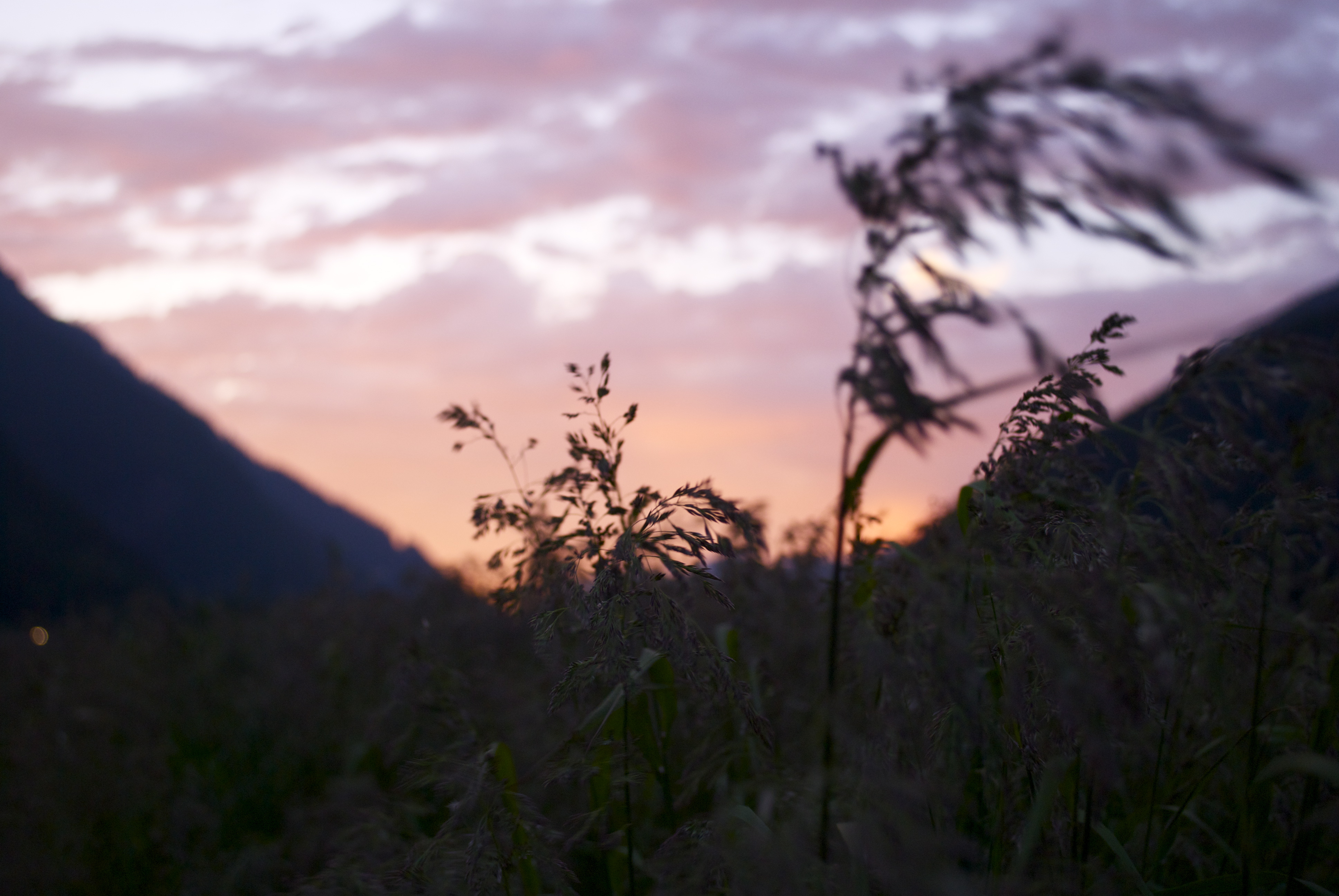
caught in the wind
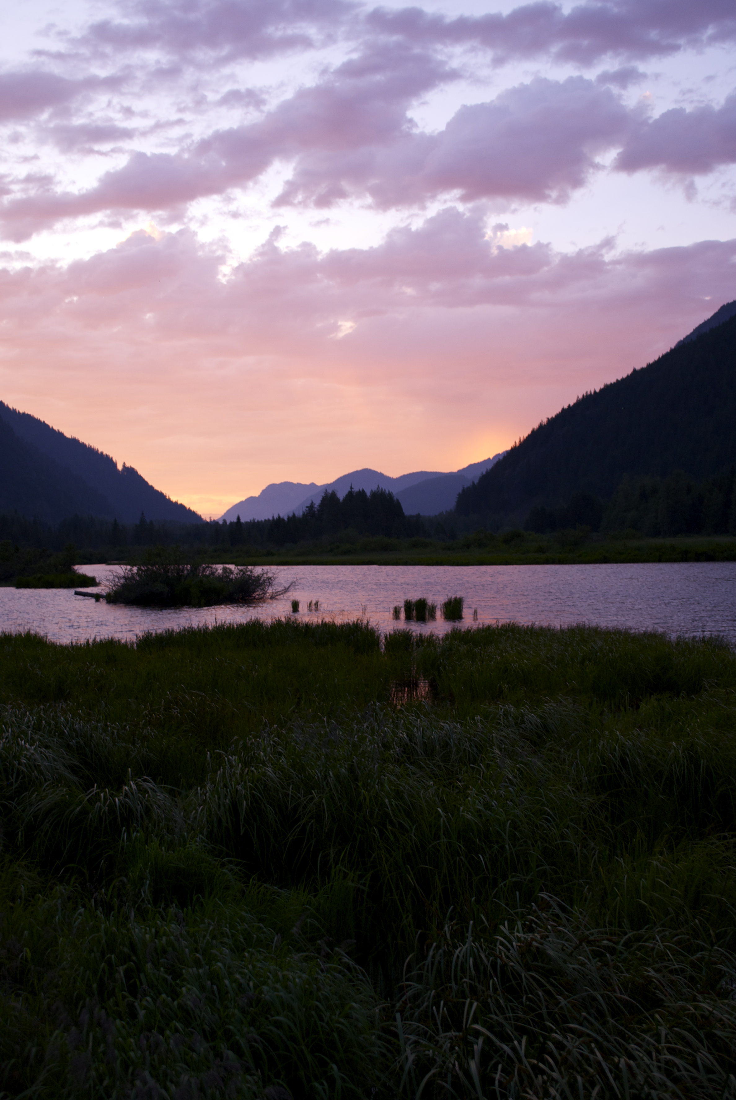
sunset reflection
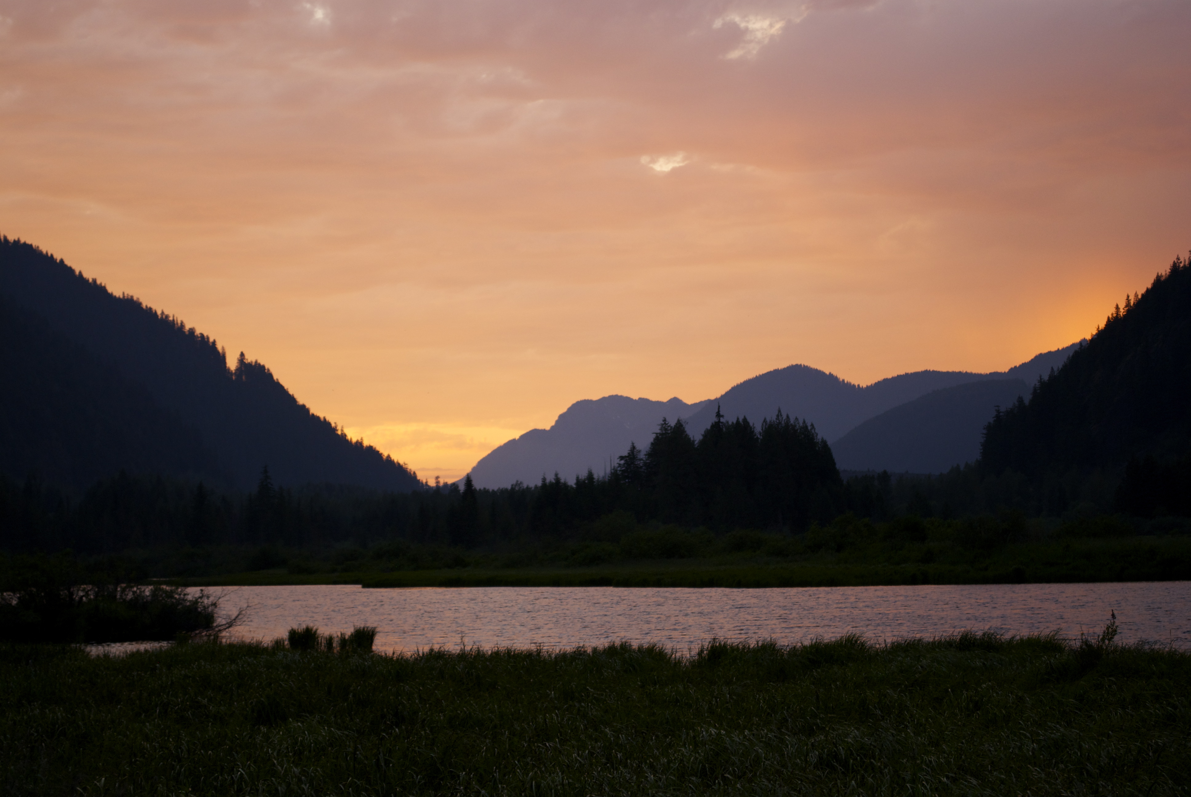
sunset reflection 2
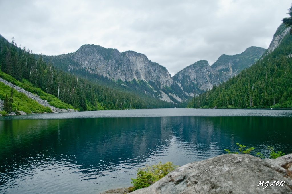
Eaton Lake View
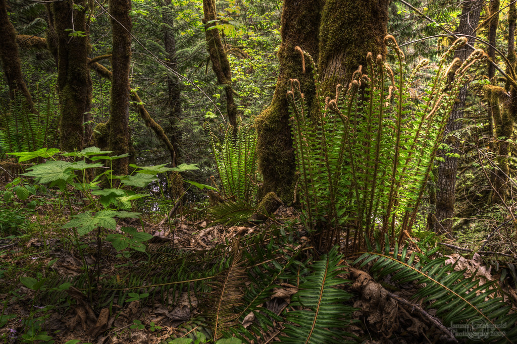
Wonders of our rain forest

View From Saddle beside Mt Snass
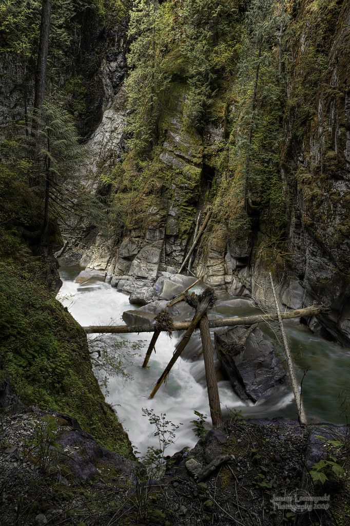
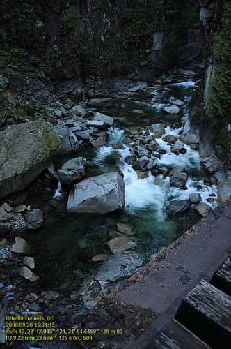
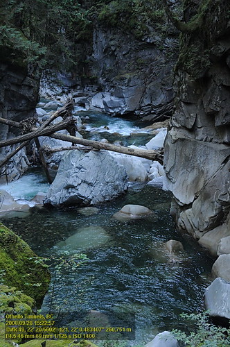
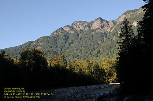
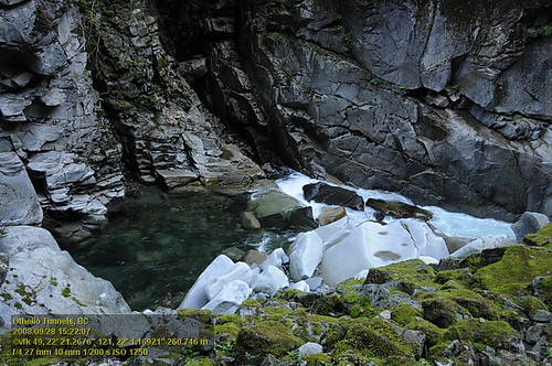
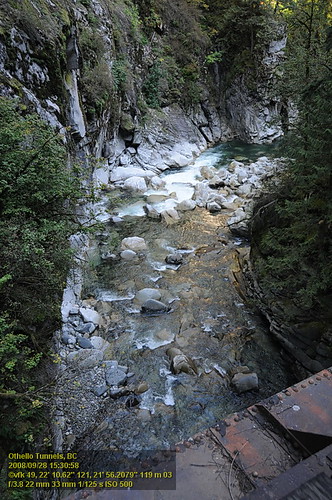
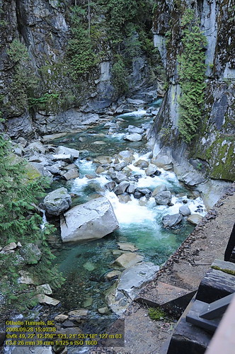
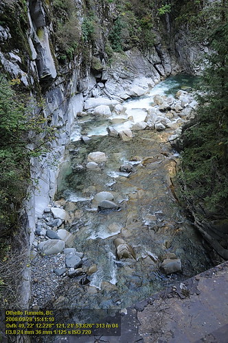
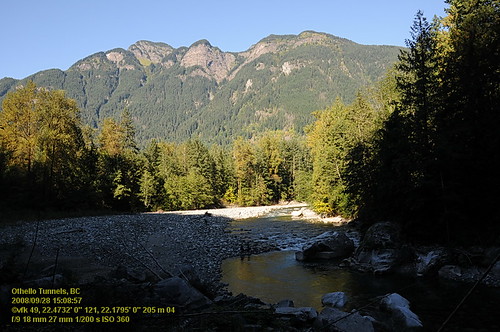
Coquihalla River
OthelloTunnels (67).JPG
OthelloTunnels (66).JPG
Othello Tunnels VF2_8754.JPG
Othello Tunnels VF2_8744.JPG
Othello Tunnels VF2_8798.JPG

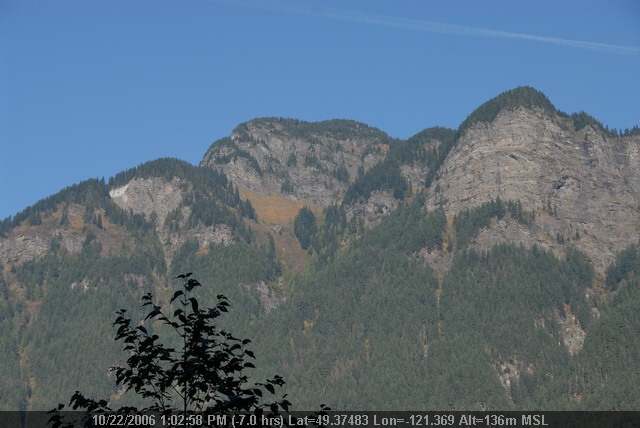
Roadside view
Othello Tunnels VF2_8742.JPG
Othello Tunnels VF2_8753.JPG
Othello Tunnels VF2_8774.JPG
Othello Tunnels VF2_8776.JPG
Othello Tunnels VF2_8716.JPG
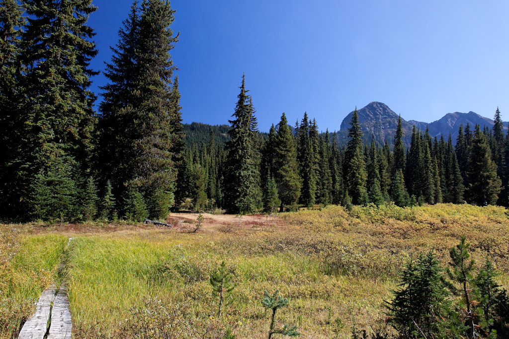
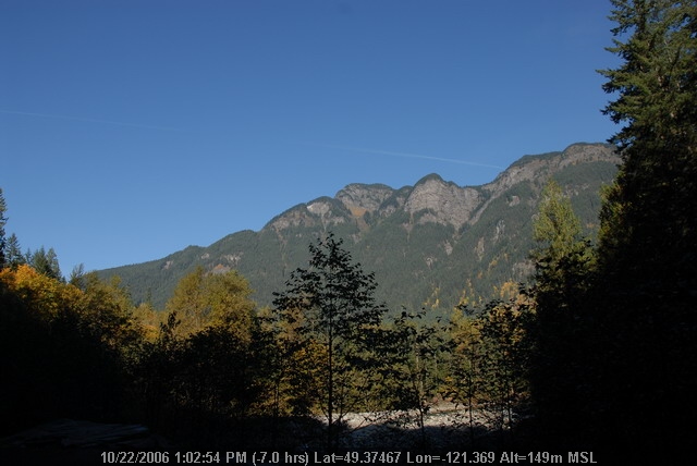
Snass View Camp

OthelloTunnels (68).JPG
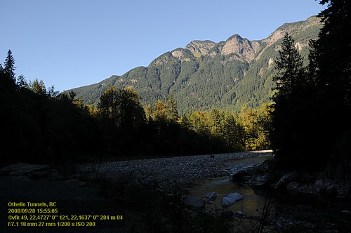
Othello Tunnels VF2_8799.JPG

Othello Tunnels VF2_8786.JPG

Views from the Whatcom Trail
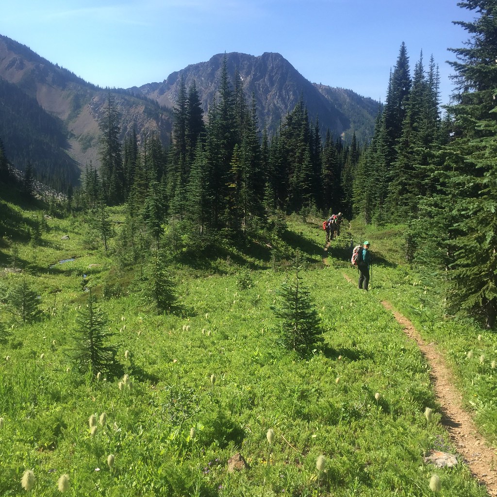
2015 Day 186 - Heading Towards Punchbowl Lake
Mount Manson, Fraser Valley B, BC V0X加拿大的地圖
搜索其他地方的日出日落時間
附近地點
Mount Hatfield, Fraser Valley B, BC V0X加拿大
Mount Outram, Fraser Valley B, BC V0X加拿大
Johnson Peak, Fraser Valley B, BC V0X加拿大
MacLeod Peak, Fraser Valley B, BC V0X加拿大
Fraser Valley B, BC, 加拿大
Alpine Blvd, Hope, BC V0X 1L5加拿大Sunshine Valley RV Resort & Cabins
Sunshine Valley, BC V0X加拿大
Parkhill Blvd, Hope, BC V0X 1L5加拿大Parkhill Boulevard
Parkview Ave, Hope, BC V0X 1L5加拿大Parkview Avenue
Mount Davis, Okanagan-Similkameen H, BC V0X加拿大
Tulameen Mountain, Fraser Valley B, BC V0X加拿大
Mount Potter, Fraser Valley B, BC V0X加拿大
Mount Ford, Fraser Valley B, BC V0X加拿大
Mount Snider, Fraser Valley B, BC V0X加拿大
Mount Dewdney, Fraser Valley B, BC V0X加拿大
Mount Coulter, Fraser Valley B, BC V0X加拿大
Battleford Peak, Okanagan-Similkameen H, BC V0X加拿大
Mount Sutter, Okanagan-Similkameen H, BC V0X加拿大
Siwash Creek Rd, Fraser Valley B, BC V0X加拿大Siwash Creek Road
Snass Mountain, Fraser Valley B, BC V0X加拿大
最近搜索
- Red Dog Mine, AK, USA的日出日落時間表
- Am bhf, Borken, 德國Am Bahnhof的日出日落時間表
- 4th St E, Sonoma, CA 美國的日出日落時間表
- Oakland Ave, Williamsport, PA 美國的日出日落時間表
- Via Roma, Pieranica CR, 義大利的日出日落時間表
- 克羅埃西亞杜布羅夫尼克 GradClock Tower of Dubrovnik的日出日落時間表
- 阿根廷丘布特省特雷利烏的日出日落時間表
- Hartfords Bluff Cir, Mt Pleasant, SC 美國的日出日落時間表
- 日本熊本縣熊本市北區的日出日落時間表
- 中國福州市平潭縣平潭島的日出日落時間表