Montgomery Creek, CA 美國的日出日落時間表
Location: 美國 > 加利福尼亞州 > 沙斯塔縣 >
時區:
America/Los_Angeles
當地時間:
2025-07-07 11:14:08
經度:
-121.9236074
緯度:
40.8415447
今天日出時間:
05:44:28 AM
今天日落時間:
08:41:23 PM
今天日照時長:
14h 56m 55s
明天日出時間:
05:45:10 AM
明天日落時間:
08:40:59 PM
明天日照時長:
14h 55m 49s
顯示所有日期
| 日期 | 日出 | 日落 | 日照時長 |
|---|---|---|---|
| 2025年01月01日 | 07:32:07 AM | 04:51:44 PM | 9h 19m 37s |
| 2025年01月02日 | 07:32:09 AM | 04:52:37 PM | 9h 20m 28s |
| 2025年01月03日 | 07:32:08 AM | 04:53:31 PM | 9h 21m 23s |
| 2025年01月04日 | 07:32:06 AM | 04:54:27 PM | 9h 22m 21s |
| 2025年01月05日 | 07:32:01 AM | 04:55:24 PM | 9h 23m 23s |
| 2025年01月06日 | 07:31:54 AM | 04:56:23 PM | 9h 24m 29s |
| 2025年01月07日 | 07:31:44 AM | 04:57:23 PM | 9h 25m 39s |
| 2025年01月08日 | 07:31:33 AM | 04:58:24 PM | 9h 26m 51s |
| 2025年01月09日 | 07:31:19 AM | 04:59:26 PM | 9h 28m 7s |
| 2025年01月10日 | 07:31:03 AM | 05:00:30 PM | 9h 29m 27s |
| 2025年01月11日 | 07:30:44 AM | 05:01:34 PM | 9h 30m 50s |
| 2025年01月12日 | 07:30:24 AM | 05:02:40 PM | 9h 32m 16s |
| 2025年01月13日 | 07:30:01 AM | 05:03:46 PM | 9h 33m 45s |
| 2025年01月14日 | 07:29:36 AM | 05:04:53 PM | 9h 35m 17s |
| 2025年01月15日 | 07:29:09 AM | 05:06:01 PM | 9h 36m 52s |
| 2025年01月16日 | 07:28:39 AM | 05:07:10 PM | 9h 38m 31s |
| 2025年01月17日 | 07:28:08 AM | 05:08:19 PM | 9h 40m 11s |
| 2025年01月18日 | 07:27:34 AM | 05:09:29 PM | 9h 41m 55s |
| 2025年01月19日 | 07:26:59 AM | 05:10:40 PM | 9h 43m 41s |
| 2025年01月20日 | 07:26:21 AM | 05:11:51 PM | 9h 45m 30s |
| 2025年01月21日 | 07:25:41 AM | 05:13:03 PM | 9h 47m 22s |
| 2025年01月22日 | 07:24:59 AM | 05:14:15 PM | 9h 49m 16s |
| 2025年01月23日 | 07:24:15 AM | 05:15:27 PM | 9h 51m 12s |
| 2025年01月24日 | 07:23:30 AM | 05:16:40 PM | 9h 53m 10s |
| 2025年01月25日 | 07:22:42 AM | 05:17:54 PM | 9h 55m 12s |
| 2025年01月26日 | 07:21:53 AM | 05:19:07 PM | 9h 57m 14s |
| 2025年01月27日 | 07:21:01 AM | 05:20:21 PM | 9h 59m 20s |
| 2025年01月28日 | 07:20:08 AM | 05:21:35 PM | 10h 1m 27s |
| 2025年01月29日 | 07:19:13 AM | 05:22:49 PM | 10h 3m 36s |
| 2025年01月30日 | 07:18:17 AM | 05:24:03 PM | 10h 5m 46s |
| 2025年01月31日 | 07:17:18 AM | 05:25:17 PM | 10h 7m 59s |
| 2025年02月01日 | 07:16:18 AM | 05:26:32 PM | 10h 10m 14s |
| 2025年02月02日 | 07:15:16 AM | 05:27:46 PM | 10h 12m 30s |
| 2025年02月03日 | 07:14:13 AM | 05:29:01 PM | 10h 14m 48s |
| 2025年02月04日 | 07:13:08 AM | 05:30:15 PM | 10h 17m 7s |
| 2025年02月05日 | 07:12:01 AM | 05:31:29 PM | 10h 19m 28s |
| 2025年02月06日 | 07:10:53 AM | 05:32:43 PM | 10h 21m 50s |
| 2025年02月07日 | 07:09:44 AM | 05:33:57 PM | 10h 24m 13s |
| 2025年02月08日 | 07:08:33 AM | 05:35:11 PM | 10h 26m 38s |
| 2025年02月09日 | 07:07:21 AM | 05:36:25 PM | 10h 29m 4s |
| 2025年02月10日 | 07:06:07 AM | 05:37:39 PM | 10h 31m 32s |
| 2025年02月11日 | 07:04:52 AM | 05:38:52 PM | 10h 34m 0s |
| 2025年02月12日 | 07:03:36 AM | 05:40:05 PM | 10h 36m 29s |
| 2025年02月13日 | 07:02:18 AM | 05:41:18 PM | 10h 39m 0s |
| 2025年02月14日 | 07:01:00 AM | 05:42:31 PM | 10h 41m 31s |
| 2025年02月15日 | 06:59:40 AM | 05:43:43 PM | 10h 44m 3s |
| 2025年02月16日 | 06:58:19 AM | 05:44:56 PM | 10h 46m 37s |
| 2025年02月17日 | 06:56:57 AM | 05:46:08 PM | 10h 49m 11s |
| 2025年02月18日 | 06:55:33 AM | 05:47:19 PM | 10h 51m 46s |
| 2025年02月19日 | 06:54:09 AM | 05:48:31 PM | 10h 54m 22s |
| 2025年02月20日 | 06:52:44 AM | 05:49:42 PM | 10h 56m 58s |
| 2025年02月21日 | 06:51:17 AM | 05:50:53 PM | 10h 59m 36s |
| 2025年02月22日 | 06:49:50 AM | 05:52:03 PM | 11h 2m 13s |
| 2025年02月23日 | 06:48:22 AM | 05:53:13 PM | 11h 4m 51s |
| 2025年02月24日 | 06:46:53 AM | 05:54:23 PM | 11h 7m 30s |
| 2025年02月25日 | 06:45:24 AM | 05:55:33 PM | 11h 10m 9s |
| 2025年02月26日 | 06:43:53 AM | 05:56:42 PM | 11h 12m 49s |
| 2025年02月27日 | 06:42:22 AM | 05:57:51 PM | 11h 15m 29s |
| 2025年02月28日 | 06:40:50 AM | 05:59:00 PM | 11h 18m 10s |
| 2025年03月01日 | 06:39:17 AM | 06:00:08 PM | 11h 20m 51s |
| 2025年03月02日 | 06:37:43 AM | 06:01:16 PM | 11h 23m 33s |
| 2025年03月03日 | 06:36:09 AM | 06:02:24 PM | 11h 26m 15s |
| 2025年03月04日 | 06:34:35 AM | 06:03:32 PM | 11h 28m 57s |
| 2025年03月05日 | 06:33:00 AM | 06:04:39 PM | 11h 31m 39s |
| 2025年03月06日 | 06:31:24 AM | 06:05:46 PM | 11h 34m 22s |
| 2025年03月07日 | 06:29:48 AM | 06:06:53 PM | 11h 37m 5s |
| 2025年03月08日 | 06:28:11 AM | 06:07:59 PM | 11h 39m 48s |
| 2025年03月09日 | 07:26:38 AM | 07:09:03 PM | 11h 42m 25s |
| 2025年03月10日 | 07:25:00 AM | 07:10:09 PM | 11h 45m 9s |
| 2025年03月11日 | 07:23:23 AM | 07:11:15 PM | 11h 47m 52s |
| 2025年03月12日 | 07:21:44 AM | 07:12:20 PM | 11h 50m 36s |
| 2025年03月13日 | 07:20:06 AM | 07:13:26 PM | 11h 53m 20s |
| 2025年03月14日 | 07:18:27 AM | 07:14:31 PM | 11h 56m 4s |
| 2025年03月15日 | 07:16:48 AM | 07:15:36 PM | 11h 58m 48s |
| 2025年03月16日 | 07:15:09 AM | 07:16:40 PM | 12h 1m 31s |
| 2025年03月17日 | 07:13:29 AM | 07:17:45 PM | 12h 4m 16s |
| 2025年03月18日 | 07:11:50 AM | 07:18:49 PM | 12h 6m 59s |
| 2025年03月19日 | 07:10:10 AM | 07:19:54 PM | 12h 9m 44s |
| 2025年03月20日 | 07:08:30 AM | 07:20:58 PM | 12h 12m 28s |
| 2025年03月21日 | 07:06:50 AM | 07:22:02 PM | 12h 15m 12s |
| 2025年03月22日 | 07:05:11 AM | 07:23:06 PM | 12h 17m 55s |
| 2025年03月23日 | 07:03:31 AM | 07:24:10 PM | 12h 20m 39s |
| 2025年03月24日 | 07:01:51 AM | 07:25:13 PM | 12h 23m 22s |
| 2025年03月25日 | 07:00:11 AM | 07:26:17 PM | 12h 26m 6s |
| 2025年03月26日 | 06:58:31 AM | 07:27:20 PM | 12h 28m 49s |
| 2025年03月27日 | 06:56:52 AM | 07:28:24 PM | 12h 31m 32s |
| 2025年03月28日 | 06:55:12 AM | 07:29:27 PM | 12h 34m 15s |
| 2025年03月29日 | 06:53:33 AM | 07:30:30 PM | 12h 36m 57s |
| 2025年03月30日 | 06:51:54 AM | 07:31:34 PM | 12h 39m 40s |
| 2025年03月31日 | 06:50:15 AM | 07:32:37 PM | 12h 42m 22s |
| 2025年04月01日 | 06:48:37 AM | 07:33:40 PM | 12h 45m 3s |
| 2025年04月02日 | 06:46:59 AM | 07:34:43 PM | 12h 47m 44s |
| 2025年04月03日 | 06:45:21 AM | 07:35:46 PM | 12h 50m 25s |
| 2025年04月04日 | 06:43:43 AM | 07:36:49 PM | 12h 53m 6s |
| 2025年04月05日 | 06:42:06 AM | 07:37:52 PM | 12h 55m 46s |
| 2025年04月06日 | 06:40:29 AM | 07:38:55 PM | 12h 58m 26s |
| 2025年04月07日 | 06:38:53 AM | 07:39:59 PM | 13h 1m 6s |
| 2025年04月08日 | 06:37:17 AM | 07:41:02 PM | 13h 3m 45s |
| 2025年04月09日 | 06:35:42 AM | 07:42:05 PM | 13h 6m 23s |
| 2025年04月10日 | 06:34:08 AM | 07:43:08 PM | 13h 9m 0s |
| 2025年04月11日 | 06:32:33 AM | 07:44:11 PM | 13h 11m 38s |
| 2025年04月12日 | 06:31:00 AM | 07:45:14 PM | 13h 14m 14s |
| 2025年04月13日 | 06:29:27 AM | 07:46:18 PM | 13h 16m 51s |
| 2025年04月14日 | 06:27:55 AM | 07:47:21 PM | 13h 19m 26s |
| 2025年04月15日 | 06:26:24 AM | 07:48:24 PM | 13h 22m 0s |
| 2025年04月16日 | 06:24:53 AM | 07:49:27 PM | 13h 24m 34s |
| 2025年04月17日 | 06:23:23 AM | 07:50:31 PM | 13h 27m 8s |
| 2025年04月18日 | 06:21:54 AM | 07:51:34 PM | 13h 29m 40s |
| 2025年04月19日 | 06:20:26 AM | 07:52:37 PM | 13h 32m 11s |
| 2025年04月20日 | 06:18:58 AM | 07:53:40 PM | 13h 34m 42s |
| 2025年04月21日 | 06:17:32 AM | 07:54:44 PM | 13h 37m 12s |
| 2025年04月22日 | 06:16:06 AM | 07:55:47 PM | 13h 39m 41s |
| 2025年04月23日 | 06:14:41 AM | 07:56:50 PM | 13h 42m 9s |
| 2025年04月24日 | 06:13:18 AM | 07:57:53 PM | 13h 44m 35s |
| 2025年04月25日 | 06:11:55 AM | 07:58:56 PM | 13h 47m 1s |
| 2025年04月26日 | 06:10:34 AM | 08:00:00 PM | 13h 49m 26s |
| 2025年04月27日 | 06:09:13 AM | 08:01:03 PM | 13h 51m 50s |
| 2025年04月28日 | 06:07:54 AM | 08:02:06 PM | 13h 54m 12s |
| 2025年04月29日 | 06:06:36 AM | 08:03:08 PM | 13h 56m 32s |
| 2025年04月30日 | 06:05:19 AM | 08:04:11 PM | 13h 58m 52s |
| 2025年05月01日 | 06:04:03 AM | 08:05:14 PM | 14h 1m 11s |
| 2025年05月02日 | 06:02:48 AM | 08:06:16 PM | 14h 3m 28s |
| 2025年05月03日 | 06:01:35 AM | 08:07:18 PM | 14h 5m 43s |
| 2025年05月04日 | 06:00:23 AM | 08:08:20 PM | 14h 7m 57s |
| 2025年05月05日 | 05:59:12 AM | 08:09:22 PM | 14h 10m 10s |
| 2025年05月06日 | 05:58:03 AM | 08:10:24 PM | 14h 12m 21s |
| 2025年05月07日 | 05:56:55 AM | 08:11:25 PM | 14h 14m 30s |
| 2025年05月08日 | 05:55:49 AM | 08:12:26 PM | 14h 16m 37s |
| 2025年05月09日 | 05:54:44 AM | 08:13:27 PM | 14h 18m 43s |
| 2025年05月10日 | 05:53:41 AM | 08:14:27 PM | 14h 20m 46s |
| 2025年05月11日 | 05:52:39 AM | 08:15:27 PM | 14h 22m 48s |
| 2025年05月12日 | 05:51:39 AM | 08:16:27 PM | 14h 24m 48s |
| 2025年05月13日 | 05:50:40 AM | 08:17:26 PM | 14h 26m 46s |
| 2025年05月14日 | 05:49:43 AM | 08:18:24 PM | 14h 28m 41s |
| 2025年05月15日 | 05:48:47 AM | 08:19:22 PM | 14h 30m 35s |
| 2025年05月16日 | 05:47:53 AM | 08:20:20 PM | 14h 32m 27s |
| 2025年05月17日 | 05:47:01 AM | 08:21:17 PM | 14h 34m 16s |
| 2025年05月18日 | 05:46:11 AM | 08:22:13 PM | 14h 36m 2s |
| 2025年05月19日 | 05:45:22 AM | 08:23:09 PM | 14h 37m 47s |
| 2025年05月20日 | 05:44:35 AM | 08:24:04 PM | 14h 39m 29s |
| 2025年05月21日 | 05:43:50 AM | 08:24:58 PM | 14h 41m 8s |
| 2025年05月22日 | 05:43:07 AM | 08:25:51 PM | 14h 42m 44s |
| 2025年05月23日 | 05:42:26 AM | 08:26:44 PM | 14h 44m 18s |
| 2025年05月24日 | 05:41:46 AM | 08:27:36 PM | 14h 45m 50s |
| 2025年05月25日 | 05:41:08 AM | 08:28:27 PM | 14h 47m 19s |
| 2025年05月26日 | 05:40:33 AM | 08:29:17 PM | 14h 48m 44s |
| 2025年05月27日 | 05:39:59 AM | 08:30:05 PM | 14h 50m 6s |
| 2025年05月28日 | 05:39:27 AM | 08:30:53 PM | 14h 51m 26s |
| 2025年05月29日 | 05:38:57 AM | 08:31:40 PM | 14h 52m 43s |
| 2025年05月30日 | 05:38:29 AM | 08:32:26 PM | 14h 53m 57s |
| 2025年05月31日 | 05:38:03 AM | 08:33:10 PM | 14h 55m 7s |
| 2025年06月01日 | 05:37:39 AM | 08:33:54 PM | 14h 56m 15s |
| 2025年06月02日 | 05:37:16 AM | 08:34:36 PM | 14h 57m 20s |
| 2025年06月03日 | 05:36:56 AM | 08:35:16 PM | 14h 58m 20s |
| 2025年06月04日 | 05:36:38 AM | 08:35:56 PM | 14h 59m 18s |
| 2025年06月05日 | 05:36:22 AM | 08:36:34 PM | 15h 0m 12s |
| 2025年06月06日 | 05:36:08 AM | 08:37:11 PM | 15h 1m 3s |
| 2025年06月07日 | 05:35:56 AM | 08:37:46 PM | 15h 1m 50s |
| 2025年06月08日 | 05:35:46 AM | 08:38:20 PM | 15h 2m 34s |
| 2025年06月09日 | 05:35:38 AM | 08:38:52 PM | 15h 3m 14s |
| 2025年06月10日 | 05:35:31 AM | 08:39:22 PM | 15h 3m 51s |
| 2025年06月11日 | 05:35:27 AM | 08:39:51 PM | 15h 4m 24s |
| 2025年06月12日 | 05:35:25 AM | 08:40:19 PM | 15h 4m 54s |
| 2025年06月13日 | 05:35:25 AM | 08:40:44 PM | 15h 5m 19s |
| 2025年06月14日 | 05:35:27 AM | 08:41:08 PM | 15h 5m 41s |
| 2025年06月15日 | 05:35:30 AM | 08:41:30 PM | 15h 6m 0s |
| 2025年06月16日 | 05:35:36 AM | 08:41:51 PM | 15h 6m 15s |
| 2025年06月17日 | 05:35:43 AM | 08:42:09 PM | 15h 6m 26s |
| 2025年06月18日 | 05:35:53 AM | 08:42:26 PM | 15h 6m 33s |
| 2025年06月19日 | 05:36:04 AM | 08:42:41 PM | 15h 6m 37s |
| 2025年06月20日 | 05:36:17 AM | 08:42:54 PM | 15h 6m 37s |
| 2025年06月21日 | 05:36:32 AM | 08:43:05 PM | 15h 6m 33s |
| 2025年06月22日 | 05:36:49 AM | 08:43:14 PM | 15h 6m 25s |
| 2025年06月23日 | 05:37:07 AM | 08:43:21 PM | 15h 6m 14s |
| 2025年06月24日 | 05:37:28 AM | 08:43:27 PM | 15h 5m 59s |
| 2025年06月25日 | 05:37:50 AM | 08:43:30 PM | 15h 5m 40s |
| 2025年06月26日 | 05:38:13 AM | 08:43:31 PM | 15h 5m 18s |
| 2025年06月27日 | 05:38:38 AM | 08:43:30 PM | 15h 4m 52s |
| 2025年06月28日 | 05:39:05 AM | 08:43:28 PM | 15h 4m 23s |
| 2025年06月29日 | 05:39:34 AM | 08:43:23 PM | 15h 3m 49s |
| 2025年06月30日 | 05:40:04 AM | 08:43:16 PM | 15h 3m 12s |
| 2025年07月01日 | 05:40:35 AM | 08:43:07 PM | 15h 2m 32s |
| 2025年07月02日 | 05:41:08 AM | 08:42:56 PM | 15h 1m 48s |
| 2025年07月03日 | 05:41:42 AM | 08:42:43 PM | 15h 1m 1s |
| 2025年07月04日 | 05:42:18 AM | 08:42:28 PM | 15h 0m 10s |
| 2025年07月05日 | 05:42:55 AM | 08:42:11 PM | 14h 59m 16s |
| 2025年07月06日 | 05:43:34 AM | 08:41:52 PM | 14h 58m 18s |
| 2025年07月07日 | 05:44:13 AM | 08:41:31 PM | 14h 57m 18s |
| 2025年07月08日 | 05:44:54 AM | 08:41:08 PM | 14h 56m 14s |
| 2025年07月09日 | 05:45:36 AM | 08:40:43 PM | 14h 55m 7s |
| 2025年07月10日 | 05:46:19 AM | 08:40:16 PM | 14h 53m 57s |
| 2025年07月11日 | 05:47:03 AM | 08:39:46 PM | 14h 52m 43s |
| 2025年07月12日 | 05:47:48 AM | 08:39:15 PM | 14h 51m 27s |
| 2025年07月13日 | 05:48:35 AM | 08:38:42 PM | 14h 50m 7s |
| 2025年07月14日 | 05:49:22 AM | 08:38:07 PM | 14h 48m 45s |
| 2025年07月15日 | 05:50:10 AM | 08:37:30 PM | 14h 47m 20s |
| 2025年07月16日 | 05:50:59 AM | 08:36:51 PM | 14h 45m 52s |
| 2025年07月17日 | 05:51:49 AM | 08:36:10 PM | 14h 44m 21s |
| 2025年07月18日 | 05:52:39 AM | 08:35:27 PM | 14h 42m 48s |
| 2025年07月19日 | 05:53:31 AM | 08:34:43 PM | 14h 41m 12s |
| 2025年07月20日 | 05:54:23 AM | 08:33:56 PM | 14h 39m 33s |
| 2025年07月21日 | 05:55:15 AM | 08:33:08 PM | 14h 37m 53s |
| 2025年07月22日 | 05:56:08 AM | 08:32:18 PM | 14h 36m 10s |
| 2025年07月23日 | 05:57:02 AM | 08:31:26 PM | 14h 34m 24s |
| 2025年07月24日 | 05:57:57 AM | 08:30:33 PM | 14h 32m 36s |
| 2025年07月25日 | 05:58:52 AM | 08:29:38 PM | 14h 30m 46s |
| 2025年07月26日 | 05:59:47 AM | 08:28:41 PM | 14h 28m 54s |
| 2025年07月27日 | 06:00:43 AM | 08:27:42 PM | 14h 26m 59s |
| 2025年07月28日 | 06:01:39 AM | 08:26:42 PM | 14h 25m 3s |
| 2025年07月29日 | 06:02:36 AM | 08:25:40 PM | 14h 23m 4s |
| 2025年07月30日 | 06:03:33 AM | 08:24:37 PM | 14h 21m 4s |
| 2025年07月31日 | 06:04:31 AM | 08:23:32 PM | 14h 19m 1s |
| 2025年08月01日 | 06:05:28 AM | 08:22:26 PM | 14h 16m 58s |
| 2025年08月02日 | 06:06:26 AM | 08:21:18 PM | 14h 14m 52s |
| 2025年08月03日 | 06:07:24 AM | 08:20:09 PM | 14h 12m 45s |
| 2025年08月04日 | 06:08:23 AM | 08:18:58 PM | 14h 10m 35s |
| 2025年08月05日 | 06:09:21 AM | 08:17:46 PM | 14h 8m 25s |
| 2025年08月06日 | 06:10:20 AM | 08:16:32 PM | 14h 6m 12s |
| 2025年08月07日 | 06:11:19 AM | 08:15:18 PM | 14h 3m 59s |
| 2025年08月08日 | 06:12:18 AM | 08:14:01 PM | 14h 1m 43s |
| 2025年08月09日 | 06:13:17 AM | 08:12:44 PM | 13h 59m 27s |
| 2025年08月10日 | 06:14:16 AM | 08:11:26 PM | 13h 57m 10s |
| 2025年08月11日 | 06:15:15 AM | 08:10:06 PM | 13h 54m 51s |
| 2025年08月12日 | 06:16:15 AM | 08:08:45 PM | 13h 52m 30s |
| 2025年08月13日 | 06:17:14 AM | 08:07:23 PM | 13h 50m 9s |
| 2025年08月14日 | 06:18:13 AM | 08:06:00 PM | 13h 47m 47s |
| 2025年08月15日 | 06:19:13 AM | 08:04:36 PM | 13h 45m 23s |
| 2025年08月16日 | 06:20:12 AM | 08:03:10 PM | 13h 42m 58s |
| 2025年08月17日 | 06:21:12 AM | 08:01:44 PM | 13h 40m 32s |
| 2025年08月18日 | 06:22:11 AM | 08:00:17 PM | 13h 38m 6s |
| 2025年08月19日 | 06:23:10 AM | 07:58:49 PM | 13h 35m 39s |
| 2025年08月20日 | 06:24:10 AM | 07:57:20 PM | 13h 33m 10s |
| 2025年08月21日 | 06:25:09 AM | 07:55:50 PM | 13h 30m 41s |
| 2025年08月22日 | 06:26:08 AM | 07:54:19 PM | 13h 28m 11s |
| 2025年08月23日 | 06:27:07 AM | 07:52:47 PM | 13h 25m 40s |
| 2025年08月24日 | 06:28:07 AM | 07:51:15 PM | 13h 23m 8s |
| 2025年08月25日 | 06:29:06 AM | 07:49:42 PM | 13h 20m 36s |
| 2025年08月26日 | 06:30:05 AM | 07:48:08 PM | 13h 18m 3s |
| 2025年08月27日 | 06:31:04 AM | 07:46:33 PM | 13h 15m 29s |
| 2025年08月28日 | 06:32:03 AM | 07:44:58 PM | 13h 12m 55s |
| 2025年08月29日 | 06:33:02 AM | 07:43:23 PM | 13h 10m 21s |
| 2025年08月30日 | 06:34:01 AM | 07:41:46 PM | 13h 7m 45s |
| 2025年08月31日 | 06:34:59 AM | 07:40:09 PM | 13h 5m 10s |
| 2025年09月01日 | 06:35:58 AM | 07:38:32 PM | 13h 2m 34s |
| 2025年09月02日 | 06:36:57 AM | 07:36:54 PM | 12h 59m 57s |
| 2025年09月03日 | 06:37:56 AM | 07:35:15 PM | 12h 57m 19s |
| 2025年09月04日 | 06:38:54 AM | 07:33:36 PM | 12h 54m 42s |
| 2025年09月05日 | 06:39:53 AM | 07:31:57 PM | 12h 52m 4s |
| 2025年09月06日 | 06:40:52 AM | 07:30:17 PM | 12h 49m 25s |
| 2025年09月07日 | 06:41:50 AM | 07:28:37 PM | 12h 46m 47s |
| 2025年09月08日 | 06:42:49 AM | 07:26:57 PM | 12h 44m 8s |
| 2025年09月09日 | 06:43:48 AM | 07:25:16 PM | 12h 41m 28s |
| 2025年09月10日 | 06:44:46 AM | 07:23:35 PM | 12h 38m 49s |
| 2025年09月11日 | 06:45:45 AM | 07:21:54 PM | 12h 36m 9s |
| 2025年09月12日 | 06:46:44 AM | 07:20:13 PM | 12h 33m 29s |
| 2025年09月13日 | 06:47:43 AM | 07:18:31 PM | 12h 30m 48s |
| 2025年09月14日 | 06:48:41 AM | 07:16:49 PM | 12h 28m 8s |
| 2025年09月15日 | 06:49:40 AM | 07:15:08 PM | 12h 25m 28s |
| 2025年09月16日 | 06:50:39 AM | 07:13:26 PM | 12h 22m 47s |
| 2025年09月17日 | 06:51:38 AM | 07:11:44 PM | 12h 20m 6s |
| 2025年09月18日 | 06:52:38 AM | 07:10:02 PM | 12h 17m 24s |
| 2025年09月19日 | 06:53:37 AM | 07:08:20 PM | 12h 14m 43s |
| 2025年09月20日 | 06:54:36 AM | 07:06:38 PM | 12h 12m 2s |
| 2025年09月21日 | 06:55:36 AM | 07:04:56 PM | 12h 9m 20s |
| 2025年09月22日 | 06:56:36 AM | 07:03:14 PM | 12h 6m 38s |
| 2025年09月23日 | 06:57:35 AM | 07:01:32 PM | 12h 3m 57s |
| 2025年09月24日 | 06:58:35 AM | 06:59:51 PM | 12h 1m 16s |
| 2025年09月25日 | 06:59:36 AM | 06:58:10 PM | 11h 58m 34s |
| 2025年09月26日 | 07:00:36 AM | 06:56:28 PM | 11h 55m 52s |
| 2025年09月27日 | 07:01:36 AM | 06:54:48 PM | 11h 53m 12s |
| 2025年09月28日 | 07:02:37 AM | 06:53:07 PM | 11h 50m 30s |
| 2025年09月29日 | 07:03:38 AM | 06:51:27 PM | 11h 47m 49s |
| 2025年09月30日 | 07:04:39 AM | 06:49:47 PM | 11h 45m 8s |
| 2025年10月01日 | 07:05:41 AM | 06:48:07 PM | 11h 42m 26s |
| 2025年10月02日 | 07:06:43 AM | 06:46:28 PM | 11h 39m 45s |
| 2025年10月03日 | 07:07:45 AM | 06:44:49 PM | 11h 37m 4s |
| 2025年10月04日 | 07:08:47 AM | 06:43:11 PM | 11h 34m 24s |
| 2025年10月05日 | 07:09:49 AM | 06:41:33 PM | 11h 31m 44s |
| 2025年10月06日 | 07:10:52 AM | 06:39:56 PM | 11h 29m 4s |
| 2025年10月07日 | 07:11:55 AM | 06:38:19 PM | 11h 26m 24s |
| 2025年10月08日 | 07:12:58 AM | 06:36:43 PM | 11h 23m 45s |
| 2025年10月09日 | 07:14:02 AM | 06:35:07 PM | 11h 21m 5s |
| 2025年10月10日 | 07:15:06 AM | 06:33:32 PM | 11h 18m 26s |
| 2025年10月11日 | 07:16:10 AM | 06:31:58 PM | 11h 15m 48s |
| 2025年10月12日 | 07:17:15 AM | 06:30:25 PM | 11h 13m 10s |
| 2025年10月13日 | 07:18:20 AM | 06:28:52 PM | 11h 10m 32s |
| 2025年10月14日 | 07:19:25 AM | 06:27:20 PM | 11h 7m 55s |
| 2025年10月15日 | 07:20:31 AM | 06:25:49 PM | 11h 5m 18s |
| 2025年10月16日 | 07:21:36 AM | 06:24:19 PM | 11h 2m 43s |
| 2025年10月17日 | 07:22:43 AM | 06:22:49 PM | 11h 0m 6s |
| 2025年10月18日 | 07:23:49 AM | 06:21:21 PM | 10h 57m 32s |
| 2025年10月19日 | 07:24:56 AM | 06:19:53 PM | 10h 54m 57s |
| 2025年10月20日 | 07:26:03 AM | 06:18:26 PM | 10h 52m 23s |
| 2025年10月21日 | 07:27:11 AM | 06:17:01 PM | 10h 49m 50s |
| 2025年10月22日 | 07:28:19 AM | 06:15:36 PM | 10h 47m 17s |
| 2025年10月23日 | 07:29:27 AM | 06:14:13 PM | 10h 44m 46s |
| 2025年10月24日 | 07:30:35 AM | 06:12:51 PM | 10h 42m 16s |
| 2025年10月25日 | 07:31:44 AM | 06:11:30 PM | 10h 39m 46s |
| 2025年10月26日 | 07:32:53 AM | 06:10:10 PM | 10h 37m 17s |
| 2025年10月27日 | 07:34:02 AM | 06:08:51 PM | 10h 34m 49s |
| 2025年10月28日 | 07:35:12 AM | 06:07:34 PM | 10h 32m 22s |
| 2025年10月29日 | 07:36:21 AM | 06:06:18 PM | 10h 29m 57s |
| 2025年10月30日 | 07:37:31 AM | 06:05:03 PM | 10h 27m 32s |
| 2025年10月31日 | 07:38:41 AM | 06:03:50 PM | 10h 25m 9s |
| 2025年11月01日 | 07:39:52 AM | 06:02:38 PM | 10h 22m 46s |
| 2025年11月02日 | 06:41:05 AM | 05:01:24 PM | 10h 20m 19s |
| 2025年11月03日 | 06:42:16 AM | 05:00:15 PM | 10h 17m 59s |
| 2025年11月04日 | 06:43:27 AM | 04:59:08 PM | 10h 15m 41s |
| 2025年11月05日 | 06:44:38 AM | 04:58:02 PM | 10h 13m 24s |
| 2025年11月06日 | 06:45:49 AM | 04:56:58 PM | 10h 11m 9s |
| 2025年11月07日 | 06:47:00 AM | 04:55:55 PM | 10h 8m 55s |
| 2025年11月08日 | 06:48:11 AM | 04:54:54 PM | 10h 6m 43s |
| 2025年11月09日 | 06:49:22 AM | 04:53:55 PM | 10h 4m 33s |
| 2025年11月10日 | 06:50:33 AM | 04:52:57 PM | 10h 2m 24s |
| 2025年11月11日 | 06:51:44 AM | 04:52:01 PM | 10h 0m 17s |
| 2025年11月12日 | 06:52:55 AM | 04:51:07 PM | 9h 58m 12s |
| 2025年11月13日 | 06:54:06 AM | 04:50:15 PM | 9h 56m 9s |
| 2025年11月14日 | 06:55:16 AM | 04:49:25 PM | 9h 54m 9s |
| 2025年11月15日 | 06:56:27 AM | 04:48:37 PM | 9h 52m 10s |
| 2025年11月16日 | 06:57:37 AM | 04:47:50 PM | 9h 50m 13s |
| 2025年11月17日 | 06:58:46 AM | 04:47:06 PM | 9h 48m 20s |
| 2025年11月18日 | 06:59:56 AM | 04:46:24 PM | 9h 46m 28s |
| 2025年11月19日 | 07:01:05 AM | 04:45:43 PM | 9h 44m 38s |
| 2025年11月20日 | 07:02:13 AM | 04:45:05 PM | 9h 42m 52s |
| 2025年11月21日 | 07:03:22 AM | 04:44:29 PM | 9h 41m 7s |
| 2025年11月22日 | 07:04:29 AM | 04:43:54 PM | 9h 39m 25s |
| 2025年11月23日 | 07:05:36 AM | 04:43:22 PM | 9h 37m 46s |
| 2025年11月24日 | 07:06:42 AM | 04:42:53 PM | 9h 36m 11s |
| 2025年11月25日 | 07:07:48 AM | 04:42:25 PM | 9h 34m 37s |
| 2025年11月26日 | 07:08:53 AM | 04:41:59 PM | 9h 33m 6s |
| 2025年11月27日 | 07:09:57 AM | 04:41:36 PM | 9h 31m 39s |
| 2025年11月28日 | 07:11:00 AM | 04:41:15 PM | 9h 30m 15s |
| 2025年11月29日 | 07:12:02 AM | 04:40:56 PM | 9h 28m 54s |
| 2025年11月30日 | 07:13:03 AM | 04:40:40 PM | 9h 27m 37s |
| 2025年12月01日 | 07:14:04 AM | 04:40:26 PM | 9h 26m 22s |
| 2025年12月02日 | 07:15:03 AM | 04:40:14 PM | 9h 25m 11s |
| 2025年12月03日 | 07:16:01 AM | 04:40:04 PM | 9h 24m 3s |
| 2025年12月04日 | 07:16:58 AM | 04:39:57 PM | 9h 22m 59s |
| 2025年12月05日 | 07:17:53 AM | 04:39:52 PM | 9h 21m 59s |
| 2025年12月06日 | 07:18:48 AM | 04:39:50 PM | 9h 21m 2s |
| 2025年12月07日 | 07:19:41 AM | 04:39:49 PM | 9h 20m 8s |
| 2025年12月08日 | 07:20:32 AM | 04:39:51 PM | 9h 19m 19s |
| 2025年12月09日 | 07:21:22 AM | 04:39:56 PM | 9h 18m 34s |
| 2025年12月10日 | 07:22:11 AM | 04:40:02 PM | 9h 17m 51s |
| 2025年12月11日 | 07:22:58 AM | 04:40:11 PM | 9h 17m 13s |
| 2025年12月12日 | 07:23:43 AM | 04:40:23 PM | 9h 16m 40s |
| 2025年12月13日 | 07:24:27 AM | 04:40:36 PM | 9h 16m 9s |
| 2025年12月14日 | 07:25:09 AM | 04:40:52 PM | 9h 15m 43s |
| 2025年12月15日 | 07:25:49 AM | 04:41:10 PM | 9h 15m 21s |
| 2025年12月16日 | 07:26:28 AM | 04:41:30 PM | 9h 15m 2s |
| 2025年12月17日 | 07:27:04 AM | 04:41:53 PM | 9h 14m 49s |
| 2025年12月18日 | 07:27:39 AM | 04:42:17 PM | 9h 14m 38s |
| 2025年12月19日 | 07:28:11 AM | 04:42:44 PM | 9h 14m 33s |
| 2025年12月20日 | 07:28:42 AM | 04:43:13 PM | 9h 14m 31s |
| 2025年12月21日 | 07:29:11 AM | 04:43:44 PM | 9h 14m 33s |
| 2025年12月22日 | 07:29:38 AM | 04:44:17 PM | 9h 14m 39s |
| 2025年12月23日 | 07:30:02 AM | 04:44:52 PM | 9h 14m 50s |
| 2025年12月24日 | 07:30:25 AM | 04:45:29 PM | 9h 15m 4s |
| 2025年12月25日 | 07:30:45 AM | 04:46:08 PM | 9h 15m 23s |
| 2025年12月26日 | 07:31:03 AM | 04:46:49 PM | 9h 15m 46s |
| 2025年12月27日 | 07:31:19 AM | 04:47:31 PM | 9h 16m 12s |
| 2025年12月28日 | 07:31:33 AM | 04:48:16 PM | 9h 16m 43s |
| 2025年12月29日 | 07:31:44 AM | 04:49:02 PM | 9h 17m 18s |
| 2025年12月30日 | 07:31:54 AM | 04:49:50 PM | 9h 17m 56s |
| 2025年12月31日 | 07:32:01 AM | 04:50:40 PM | 9h 18m 39s |
日出日落照片
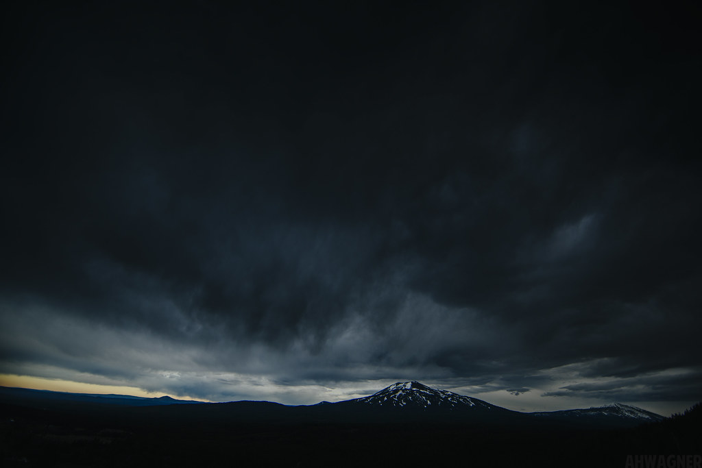
Night at Burney Mountain [03.30.13]
Sleep Walk

Burney Mountain [03.30.13]
_MG_4252.jpg
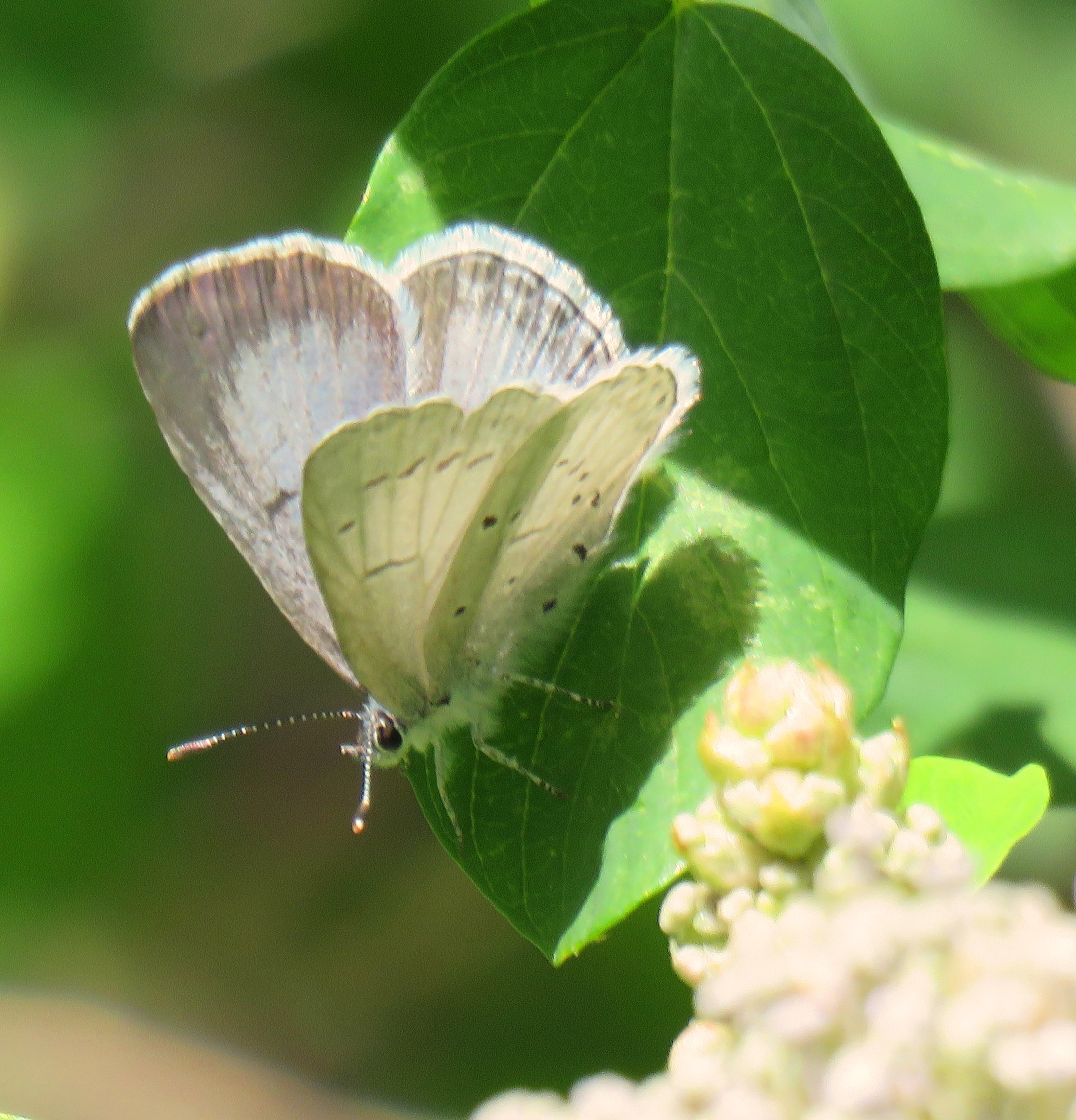
Echo Azure (female)
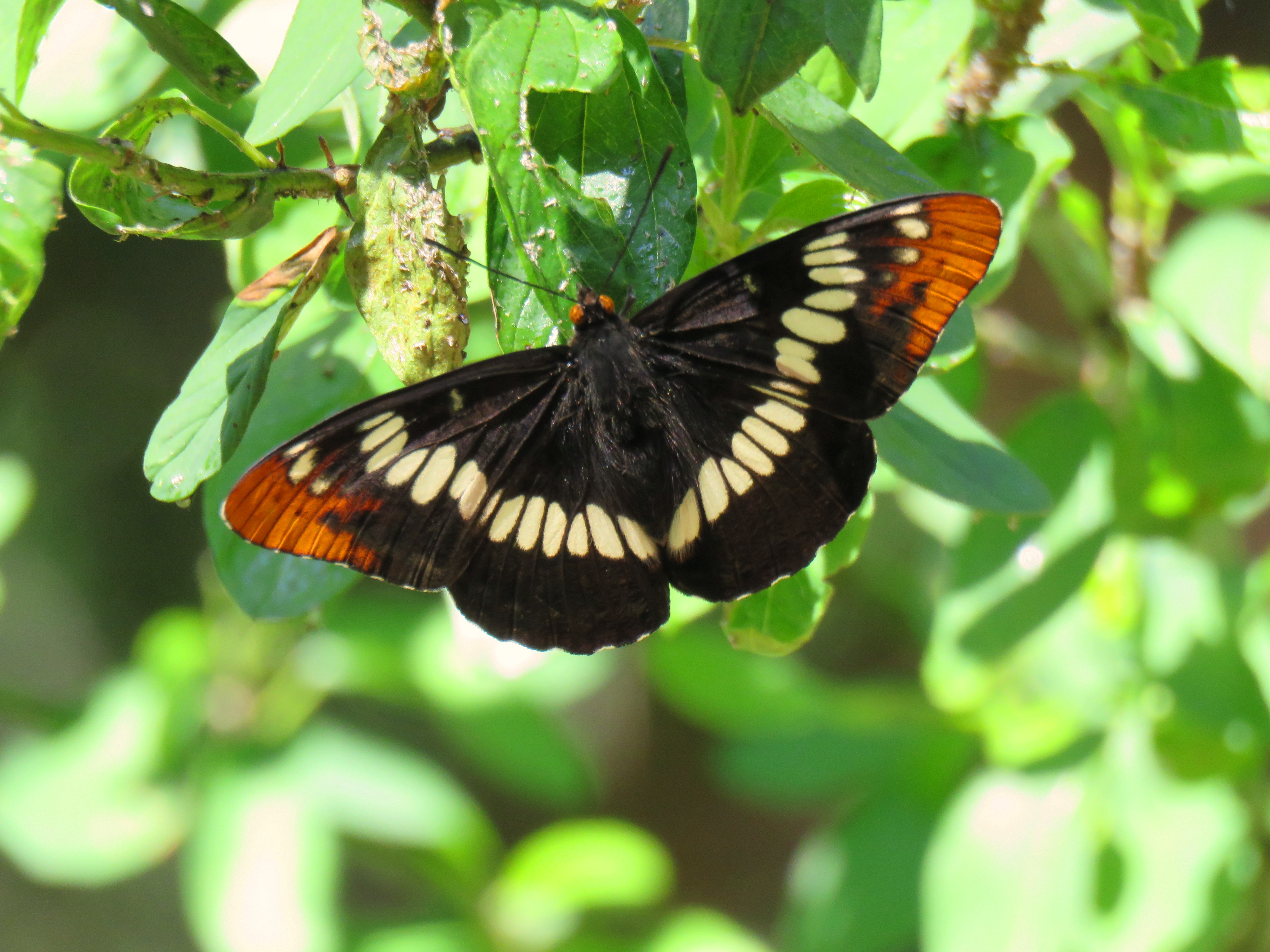
Lorquin's Admiral 6-10-16, Hat Creek CA
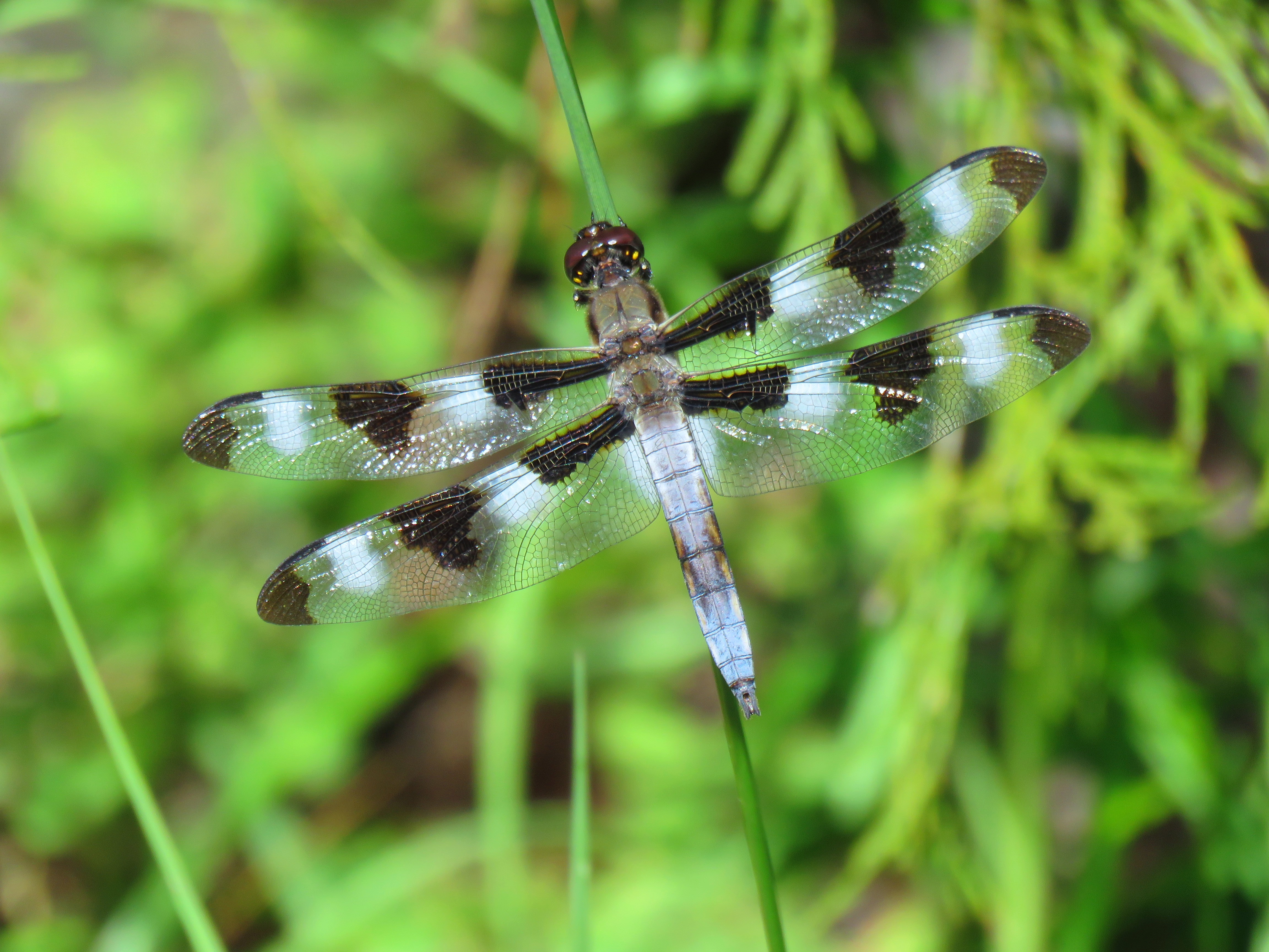
Twelve Spotted Skimmer (male) 6-10-16 Hat Creek CA

HELP with ID
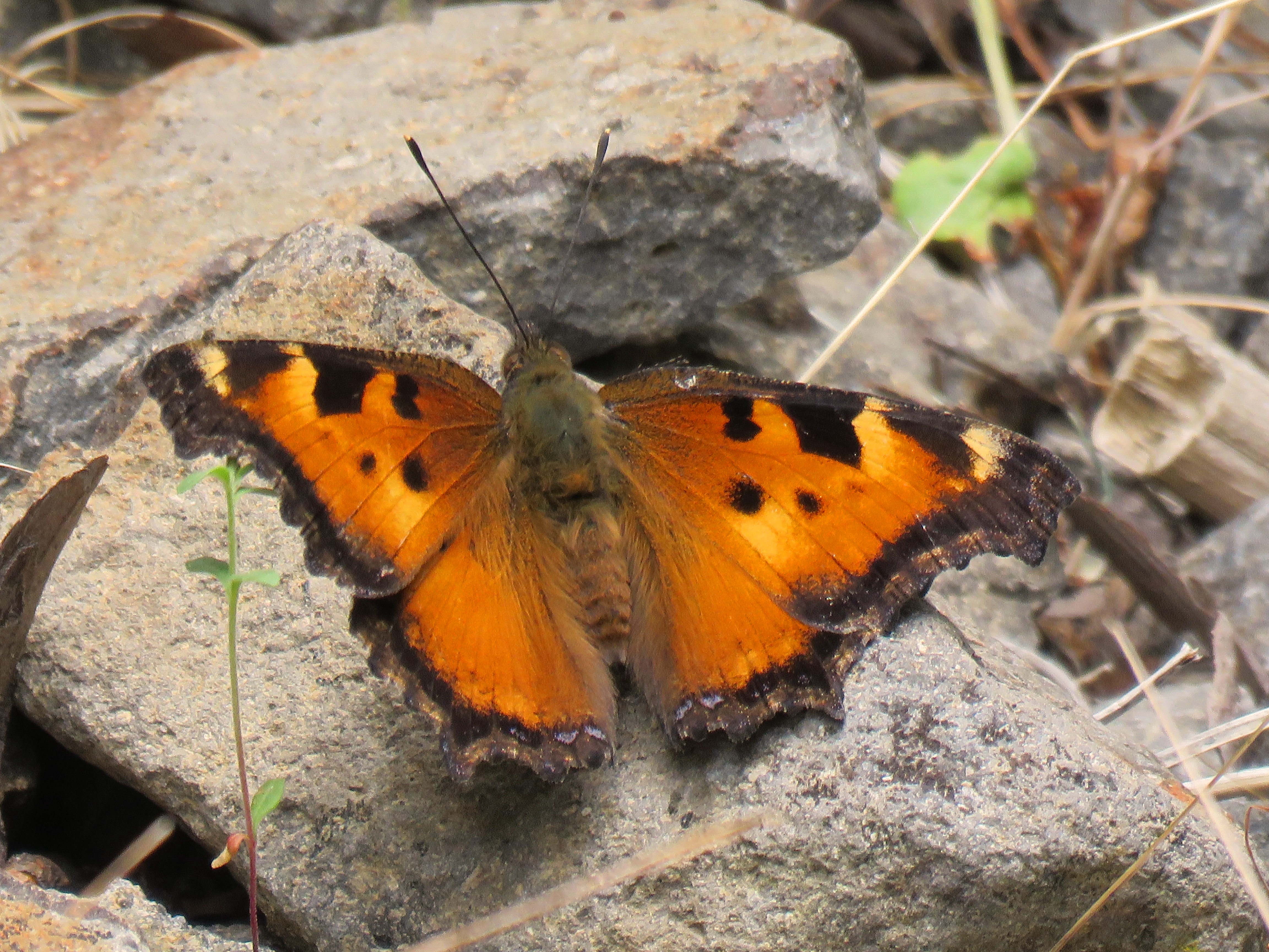
California Tortoiseshell (upperwing)

California Tortoiseshell (lowerwing), Berney CA

Pit Rivet Arm of Lake Shasta
Pit Rivet Arm of Lake Shasta

_7150056.NEF

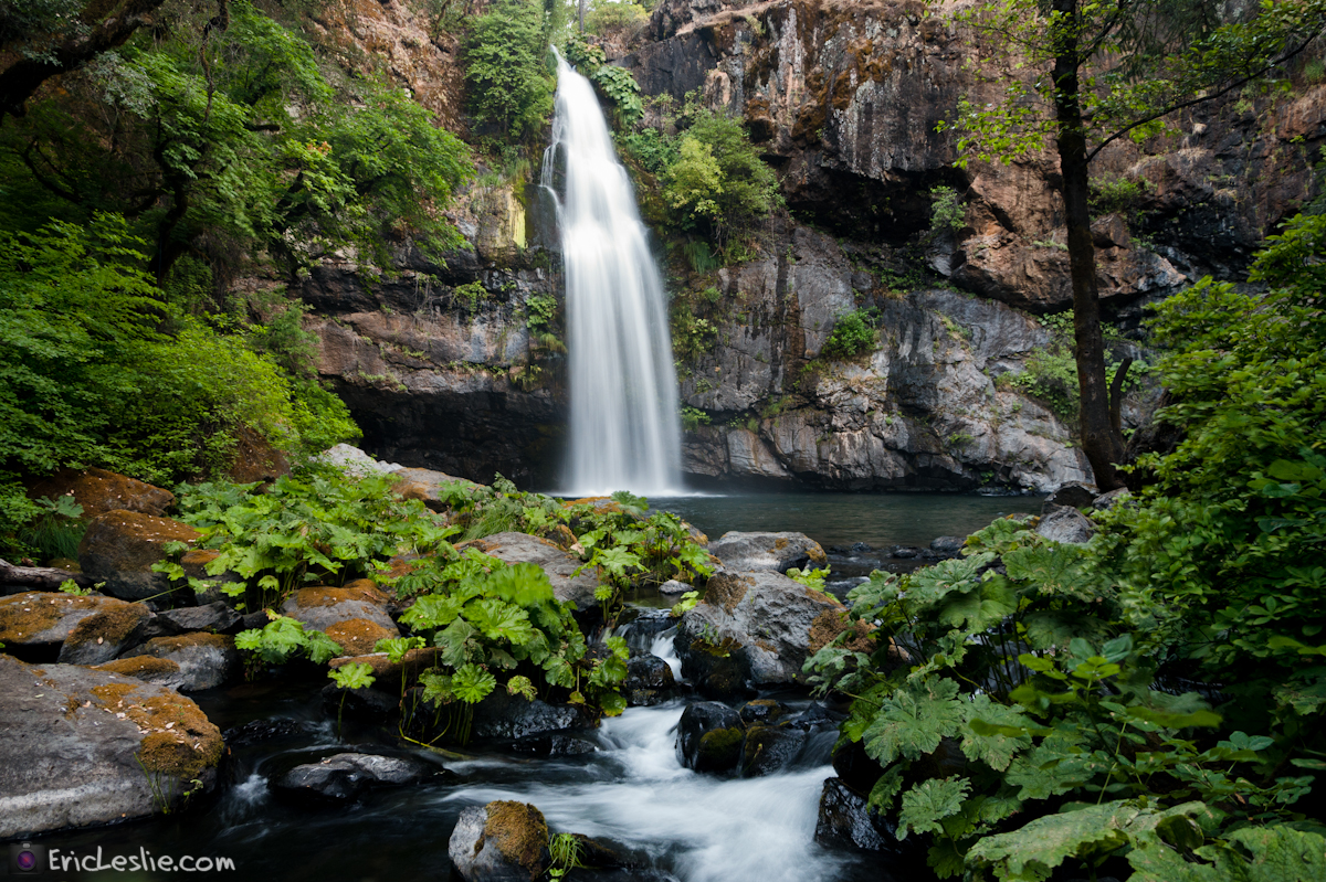
On the way to McArthur-Burney Falls

_9080265.NEF

_9080256.NEF

_9080257.NEF
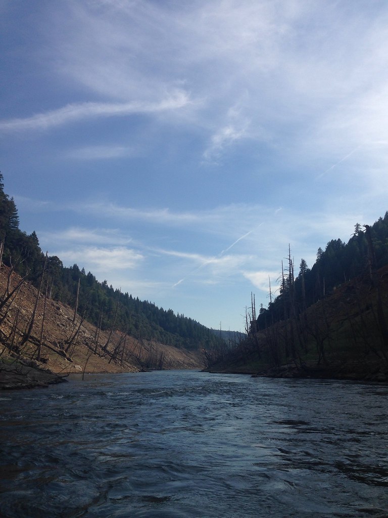
Took the boat up the river! So much fun! We spent 4 days on the boat and it was a blast. Back to work in a couple days...

_8210039.NEF

_8210034.NEF

_8210036.NEF
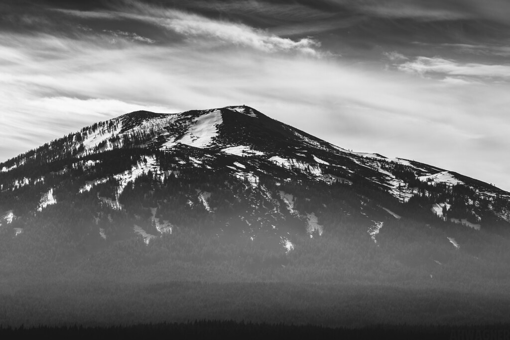
Burney Mountain [03.30.13]
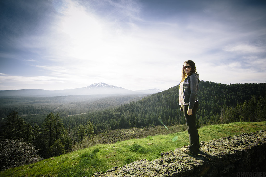
Megan & Burney Mountain [03.30.13]
Montgomery Creek, CA 美國的地圖
搜索其他地方的日出日落時間
Montgomery Creek, CA 美國的其他地方
附近地點
CA-, Montgomery Creek, CA 美國
Dunn Moody Rd, Round Mountain, CA 美國
40°51'51."N °53'."W, Anderossa Ln, 9, CA 美國Hillcrest Rest Area
CA-, Round Mountain, CA 美國Hill Country Community Clinic
Mountain School Rd, Round Mountain, CA 美國
Terry Mill Rd, Round Mountain, CA 美國
Round Mountain, CA, 美國
Big Bend Rd, Montgomery Creek, CA 美國
Big Bend Rd, California, 美國Big Bend Road
Redding, CA, 美國
美國加利福尼亞州沙斯塔縣
Big Bend Rd, Big Bend, CA 美國
Big Bend, CA 美國
美國加利福尼亞雷丁
Peridot Ln, Burney, CA 美國
Birch Ave, Burney, CA 美國
Burney, CA 美國
Burney Mountain, California, 美國
Garden Ln, Burney, CA 美國
Burney Falls, California, 美國
最近搜索
- Red Dog Mine, AK, USA的日出日落時間表
- Am bhf, Borken, 德國Am Bahnhof的日出日落時間表
- 4th St E, Sonoma, CA 美國的日出日落時間表
- Oakland Ave, Williamsport, PA 美國的日出日落時間表
- Via Roma, Pieranica CR, 義大利的日出日落時間表
- 克羅埃西亞杜布羅夫尼克 GradClock Tower of Dubrovnik的日出日落時間表
- 阿根廷丘布特省特雷利烏的日出日落時間表
- Hartfords Bluff Cir, Mt Pleasant, SC 美國的日出日落時間表
- 日本熊本縣熊本市北區的日出日落時間表
- 中國福州市平潭縣平潭島的日出日落時間表