美國紐約州蒙哥馬利縣的日出日落時間表
Location: 美國 > 紐約州 >
時區:
America/New_York
當地時間:
2025-06-21 19:44:35
經度:
-74.4525627
緯度:
42.915521
今天日出時間:
05:19:26 AM
今天日落時間:
08:40:32 PM
今天日照時長:
15h 21m 6s
明天日出時間:
05:19:43 AM
明天日落時間:
08:40:40 PM
明天日照時長:
15h 20m 57s
顯示所有日期
| 日期 | 日出 | 日落 | 日照時長 |
|---|---|---|---|
| 2025年01月01日 | 07:28:48 AM | 04:35:02 PM | 9h 6m 14s |
| 2025年01月02日 | 07:28:48 AM | 04:35:57 PM | 9h 7m 9s |
| 2025年01月03日 | 07:28:46 AM | 04:36:53 PM | 9h 8m 7s |
| 2025年01月04日 | 07:28:42 AM | 04:37:51 PM | 9h 9m 9s |
| 2025年01月05日 | 07:28:35 AM | 04:38:51 PM | 9h 10m 16s |
| 2025年01月06日 | 07:28:25 AM | 04:39:52 PM | 9h 11m 27s |
| 2025年01月07日 | 07:28:14 AM | 04:40:55 PM | 9h 12m 41s |
| 2025年01月08日 | 07:28:00 AM | 04:41:59 PM | 9h 13m 59s |
| 2025年01月09日 | 07:27:43 AM | 04:43:04 PM | 9h 15m 21s |
| 2025年01月10日 | 07:27:24 AM | 04:44:10 PM | 9h 16m 46s |
| 2025年01月11日 | 07:27:03 AM | 04:45:18 PM | 9h 18m 15s |
| 2025年01月12日 | 07:26:39 AM | 04:46:27 PM | 9h 19m 48s |
| 2025年01月13日 | 07:26:13 AM | 04:47:37 PM | 9h 21m 24s |
| 2025年01月14日 | 07:25:44 AM | 04:48:48 PM | 9h 23m 4s |
| 2025年01月15日 | 07:25:14 AM | 04:49:59 PM | 9h 24m 45s |
| 2025年01月16日 | 07:24:41 AM | 04:51:12 PM | 9h 26m 31s |
| 2025年01月17日 | 07:24:06 AM | 04:52:26 PM | 9h 28m 20s |
| 2025年01月18日 | 07:23:28 AM | 04:53:40 PM | 9h 30m 12s |
| 2025年01月19日 | 07:22:49 AM | 04:54:55 PM | 9h 32m 6s |
| 2025年01月20日 | 07:22:07 AM | 04:56:10 PM | 9h 34m 3s |
| 2025年01月21日 | 07:21:23 AM | 04:57:27 PM | 9h 36m 4s |
| 2025年01月22日 | 07:20:37 AM | 04:58:43 PM | 9h 38m 6s |
| 2025年01月23日 | 07:19:49 AM | 05:00:01 PM | 9h 40m 12s |
| 2025年01月24日 | 07:18:59 AM | 05:01:18 PM | 9h 42m 19s |
| 2025年01月25日 | 07:18:07 AM | 05:02:37 PM | 9h 44m 30s |
| 2025年01月26日 | 07:17:12 AM | 05:03:55 PM | 9h 46m 43s |
| 2025年01月27日 | 07:16:16 AM | 05:05:14 PM | 9h 48m 58s |
| 2025年01月28日 | 07:15:19 AM | 05:06:33 PM | 9h 51m 14s |
| 2025年01月29日 | 07:14:19 AM | 05:07:52 PM | 9h 53m 33s |
| 2025年01月30日 | 07:13:17 AM | 05:09:12 PM | 9h 55m 55s |
| 2025年01月31日 | 07:12:14 AM | 05:10:32 PM | 9h 58m 18s |
| 2025年02月01日 | 07:11:09 AM | 05:11:51 PM | 10h 0m 42s |
| 2025年02月02日 | 07:10:02 AM | 05:13:11 PM | 10h 3m 9s |
| 2025年02月03日 | 07:08:53 AM | 05:14:31 PM | 10h 5m 38s |
| 2025年02月04日 | 07:07:43 AM | 05:15:51 PM | 10h 8m 8s |
| 2025年02月05日 | 07:06:31 AM | 05:17:11 PM | 10h 10m 40s |
| 2025年02月06日 | 07:05:18 AM | 05:18:31 PM | 10h 13m 13s |
| 2025年02月07日 | 07:04:03 AM | 05:19:51 PM | 10h 15m 48s |
| 2025年02月08日 | 07:02:47 AM | 05:21:11 PM | 10h 18m 24s |
| 2025年02月09日 | 07:01:29 AM | 05:22:30 PM | 10h 21m 1s |
| 2025年02月10日 | 07:00:10 AM | 05:23:50 PM | 10h 23m 40s |
| 2025年02月11日 | 06:58:50 AM | 05:25:09 PM | 10h 26m 19s |
| 2025年02月12日 | 06:57:28 AM | 05:26:28 PM | 10h 29m 0s |
| 2025年02月13日 | 06:56:05 AM | 05:27:47 PM | 10h 31m 42s |
| 2025年02月14日 | 06:54:40 AM | 05:29:06 PM | 10h 34m 26s |
| 2025年02月15日 | 06:53:15 AM | 05:30:24 PM | 10h 37m 9s |
| 2025年02月16日 | 06:51:48 AM | 05:31:43 PM | 10h 39m 55s |
| 2025年02月17日 | 06:50:20 AM | 05:33:01 PM | 10h 42m 41s |
| 2025年02月18日 | 06:48:51 AM | 05:34:18 PM | 10h 45m 27s |
| 2025年02月19日 | 06:47:21 AM | 05:35:36 PM | 10h 48m 15s |
| 2025年02月20日 | 06:45:50 AM | 05:36:53 PM | 10h 51m 3s |
| 2025年02月21日 | 06:44:18 AM | 05:38:10 PM | 10h 53m 52s |
| 2025年02月22日 | 06:42:45 AM | 05:39:27 PM | 10h 56m 42s |
| 2025年02月23日 | 06:41:11 AM | 05:40:43 PM | 10h 59m 32s |
| 2025年02月24日 | 06:39:36 AM | 05:41:59 PM | 11h 2m 23s |
| 2025年02月25日 | 06:38:00 AM | 05:43:15 PM | 11h 5m 15s |
| 2025年02月26日 | 06:36:24 AM | 05:44:31 PM | 11h 8m 7s |
| 2025年02月27日 | 06:34:47 AM | 05:45:46 PM | 11h 10m 59s |
| 2025年02月28日 | 06:33:09 AM | 05:47:01 PM | 11h 13m 52s |
| 2025年03月01日 | 06:31:30 AM | 05:48:15 PM | 11h 16m 45s |
| 2025年03月02日 | 06:29:50 AM | 05:49:30 PM | 11h 19m 40s |
| 2025年03月03日 | 06:28:10 AM | 05:50:44 PM | 11h 22m 34s |
| 2025年03月04日 | 06:26:30 AM | 05:51:58 PM | 11h 25m 28s |
| 2025年03月05日 | 06:24:49 AM | 05:53:11 PM | 11h 28m 22s |
| 2025年03月06日 | 06:23:07 AM | 05:54:25 PM | 11h 31m 18s |
| 2025年03月07日 | 06:21:25 AM | 05:55:38 PM | 11h 34m 13s |
| 2025年03月08日 | 06:19:42 AM | 05:56:50 PM | 11h 37m 8s |
| 2025年03月09日 | 07:18:03 AM | 06:58:00 PM | 11h 39m 57s |
| 2025年03月10日 | 07:16:19 AM | 06:59:12 PM | 11h 42m 53s |
| 2025年03月11日 | 07:14:35 AM | 07:00:24 PM | 11h 45m 49s |
| 2025年03月12日 | 07:12:51 AM | 07:01:36 PM | 11h 48m 45s |
| 2025年03月13日 | 07:11:06 AM | 07:02:48 PM | 11h 51m 42s |
| 2025年03月14日 | 07:09:21 AM | 07:03:59 PM | 11h 54m 38s |
| 2025年03月15日 | 07:07:36 AM | 07:05:10 PM | 11h 57m 34s |
| 2025年03月16日 | 07:05:51 AM | 07:06:21 PM | 12h 0m 30s |
| 2025年03月17日 | 07:04:05 AM | 07:07:32 PM | 12h 3m 27s |
| 2025年03月18日 | 07:02:20 AM | 07:08:43 PM | 12h 6m 23s |
| 2025年03月19日 | 07:00:34 AM | 07:09:53 PM | 12h 9m 19s |
| 2025年03月20日 | 06:58:48 AM | 07:11:04 PM | 12h 12m 16s |
| 2025年03月21日 | 06:57:02 AM | 07:12:14 PM | 12h 15m 12s |
| 2025年03月22日 | 06:55:16 AM | 07:13:24 PM | 12h 18m 8s |
| 2025年03月23日 | 06:53:30 AM | 07:14:34 PM | 12h 21m 4s |
| 2025年03月24日 | 06:51:43 AM | 07:15:44 PM | 12h 24m 1s |
| 2025年03月25日 | 06:49:57 AM | 07:16:54 PM | 12h 26m 57s |
| 2025年03月26日 | 06:48:12 AM | 07:18:03 PM | 12h 29m 51s |
| 2025年03月27日 | 06:46:26 AM | 07:19:13 PM | 12h 32m 47s |
| 2025年03月28日 | 06:44:40 AM | 07:20:22 PM | 12h 35m 42s |
| 2025年03月29日 | 06:42:55 AM | 07:21:32 PM | 12h 38m 37s |
| 2025年03月30日 | 06:41:09 AM | 07:22:41 PM | 12h 41m 32s |
| 2025年03月31日 | 06:39:24 AM | 07:23:51 PM | 12h 44m 27s |
| 2025年04月01日 | 06:37:40 AM | 07:25:00 PM | 12h 47m 20s |
| 2025年04月02日 | 06:35:55 AM | 07:26:09 PM | 12h 50m 14s |
| 2025年04月03日 | 06:34:11 AM | 07:27:19 PM | 12h 53m 8s |
| 2025年04月04日 | 06:32:27 AM | 07:28:28 PM | 12h 56m 1s |
| 2025年04月05日 | 06:30:44 AM | 07:29:37 PM | 12h 58m 53s |
| 2025年04月06日 | 06:29:01 AM | 07:30:46 PM | 13h 1m 45s |
| 2025年04月07日 | 06:27:19 AM | 07:31:55 PM | 13h 4m 36s |
| 2025年04月08日 | 06:25:37 AM | 07:33:05 PM | 13h 7m 28s |
| 2025年04月09日 | 06:23:55 AM | 07:34:14 PM | 13h 10m 19s |
| 2025年04月10日 | 06:22:14 AM | 07:35:23 PM | 13h 13m 9s |
| 2025年04月11日 | 06:20:34 AM | 07:36:32 PM | 13h 15m 58s |
| 2025年04月12日 | 06:18:54 AM | 07:37:42 PM | 13h 18m 48s |
| 2025年04月13日 | 06:17:15 AM | 07:38:51 PM | 13h 21m 36s |
| 2025年04月14日 | 06:15:37 AM | 07:40:00 PM | 13h 24m 23s |
| 2025年04月15日 | 06:13:59 AM | 07:41:09 PM | 13h 27m 10s |
| 2025年04月16日 | 06:12:22 AM | 07:42:19 PM | 13h 29m 57s |
| 2025年04月17日 | 06:10:46 AM | 07:43:28 PM | 13h 32m 42s |
| 2025年04月18日 | 06:09:11 AM | 07:44:37 PM | 13h 35m 26s |
| 2025年04月19日 | 06:07:36 AM | 07:45:46 PM | 13h 38m 10s |
| 2025年04月20日 | 06:06:03 AM | 07:46:56 PM | 13h 40m 53s |
| 2025年04月21日 | 06:04:30 AM | 07:48:05 PM | 13h 43m 35s |
| 2025年04月22日 | 06:02:58 AM | 07:49:14 PM | 13h 46m 16s |
| 2025年04月23日 | 06:01:28 AM | 07:50:23 PM | 13h 48m 55s |
| 2025年04月24日 | 05:59:58 AM | 07:51:32 PM | 13h 51m 34s |
| 2025年04月25日 | 05:58:29 AM | 07:52:41 PM | 13h 54m 12s |
| 2025年04月26日 | 05:57:02 AM | 07:53:50 PM | 13h 56m 48s |
| 2025年04月27日 | 05:55:35 AM | 07:54:59 PM | 13h 59m 24s |
| 2025年04月28日 | 05:54:10 AM | 07:56:08 PM | 14h 1m 58s |
| 2025年04月29日 | 05:52:45 AM | 07:57:16 PM | 14h 4m 31s |
| 2025年04月30日 | 05:51:23 AM | 07:58:25 PM | 14h 7m 2s |
| 2025年05月01日 | 05:50:01 AM | 07:59:33 PM | 14h 9m 32s |
| 2025年05月02日 | 05:48:40 AM | 08:00:41 PM | 14h 12m 1s |
| 2025年05月03日 | 05:47:21 AM | 08:01:49 PM | 14h 14m 28s |
| 2025年05月04日 | 05:46:03 AM | 08:02:56 PM | 14h 16m 53s |
| 2025年05月05日 | 05:44:47 AM | 08:04:04 PM | 14h 19m 17s |
| 2025年05月06日 | 05:43:32 AM | 08:05:11 PM | 14h 21m 39s |
| 2025年05月07日 | 05:42:19 AM | 08:06:17 PM | 14h 23m 58s |
| 2025年05月08日 | 05:41:07 AM | 08:07:24 PM | 14h 26m 17s |
| 2025年05月09日 | 05:39:56 AM | 08:08:30 PM | 14h 28m 34s |
| 2025年05月10日 | 05:38:47 AM | 08:09:35 PM | 14h 30m 48s |
| 2025年05月11日 | 05:37:40 AM | 08:10:40 PM | 14h 33m 0s |
| 2025年05月12日 | 05:36:34 AM | 08:11:45 PM | 14h 35m 11s |
| 2025年05月13日 | 05:35:30 AM | 08:12:49 PM | 14h 37m 19s |
| 2025年05月14日 | 05:34:27 AM | 08:13:53 PM | 14h 39m 26s |
| 2025年05月15日 | 05:33:27 AM | 08:14:56 PM | 14h 41m 29s |
| 2025年05月16日 | 05:32:28 AM | 08:15:58 PM | 14h 43m 30s |
| 2025年05月17日 | 05:31:30 AM | 08:17:00 PM | 14h 45m 30s |
| 2025年05月18日 | 05:30:35 AM | 08:18:01 PM | 14h 47m 26s |
| 2025年05月19日 | 05:29:41 AM | 08:19:02 PM | 14h 49m 21s |
| 2025年05月20日 | 05:28:50 AM | 08:20:01 PM | 14h 51m 11s |
| 2025年05月21日 | 05:28:00 AM | 08:21:00 PM | 14h 53m 0s |
| 2025年05月22日 | 05:27:12 AM | 08:21:58 PM | 14h 54m 46s |
| 2025年05月23日 | 05:26:26 AM | 08:22:55 PM | 14h 56m 29s |
| 2025年05月24日 | 05:25:42 AM | 08:23:51 PM | 14h 58m 9s |
| 2025年05月25日 | 05:25:00 AM | 08:24:46 PM | 14h 59m 46s |
| 2025年05月26日 | 05:24:20 AM | 08:25:40 PM | 15h 1m 20s |
| 2025年05月27日 | 05:23:42 AM | 08:26:32 PM | 15h 2m 50s |
| 2025年05月28日 | 05:23:06 AM | 08:27:24 PM | 15h 4m 18s |
| 2025年05月29日 | 05:22:32 AM | 08:28:15 PM | 15h 5m 43s |
| 2025年05月30日 | 05:22:00 AM | 08:29:04 PM | 15h 7m 4s |
| 2025年05月31日 | 05:21:30 AM | 08:29:52 PM | 15h 8m 22s |
| 2025年06月01日 | 05:21:03 AM | 08:30:39 PM | 15h 9m 36s |
| 2025年06月02日 | 05:20:37 AM | 08:31:24 PM | 15h 10m 47s |
| 2025年06月03日 | 05:20:14 AM | 08:32:08 PM | 15h 11m 54s |
| 2025年06月04日 | 05:19:52 AM | 08:32:50 PM | 15h 12m 58s |
| 2025年06月05日 | 05:19:33 AM | 08:33:31 PM | 15h 13m 58s |
| 2025年06月06日 | 05:19:16 AM | 08:34:10 PM | 15h 14m 54s |
| 2025年06月07日 | 05:19:02 AM | 08:34:48 PM | 15h 15m 46s |
| 2025年06月08日 | 05:18:49 AM | 08:35:24 PM | 15h 16m 35s |
| 2025年06月09日 | 05:18:38 AM | 08:35:58 PM | 15h 17m 20s |
| 2025年06月10日 | 05:18:30 AM | 08:36:31 PM | 15h 18m 1s |
| 2025年06月11日 | 05:18:24 AM | 08:37:02 PM | 15h 18m 38s |
| 2025年06月12日 | 05:18:20 AM | 08:37:31 PM | 15h 19m 11s |
| 2025年06月13日 | 05:18:18 AM | 08:37:59 PM | 15h 19m 41s |
| 2025年06月14日 | 05:18:18 AM | 08:38:24 PM | 15h 20m 6s |
| 2025年06月15日 | 05:18:20 AM | 08:38:47 PM | 15h 20m 27s |
| 2025年06月16日 | 05:18:25 AM | 08:39:09 PM | 15h 20m 44s |
| 2025年06月17日 | 05:18:31 AM | 08:39:29 PM | 15h 20m 58s |
| 2025年06月18日 | 05:18:40 AM | 08:39:46 PM | 15h 21m 6s |
| 2025年06月19日 | 05:18:50 AM | 08:40:02 PM | 15h 21m 12s |
| 2025年06月20日 | 05:19:03 AM | 08:40:15 PM | 15h 21m 12s |
| 2025年06月21日 | 05:19:18 AM | 08:40:27 PM | 15h 21m 9s |
| 2025年06月22日 | 05:19:34 AM | 08:40:36 PM | 15h 21m 2s |
| 2025年06月23日 | 05:19:53 AM | 08:40:43 PM | 15h 20m 50s |
| 2025年06月24日 | 05:20:13 AM | 08:40:49 PM | 15h 20m 36s |
| 2025年06月25日 | 05:20:36 AM | 08:40:51 PM | 15h 20m 15s |
| 2025年06月26日 | 05:21:00 AM | 08:40:52 PM | 15h 19m 52s |
| 2025年06月27日 | 05:21:26 AM | 08:40:51 PM | 15h 19m 25s |
| 2025年06月28日 | 05:21:53 AM | 08:40:47 PM | 15h 18m 54s |
| 2025年06月29日 | 05:22:23 AM | 08:40:42 PM | 15h 18m 19s |
| 2025年06月30日 | 05:22:54 AM | 08:40:34 PM | 15h 17m 40s |
| 2025年07月01日 | 05:23:27 AM | 08:40:24 PM | 15h 16m 57s |
| 2025年07月02日 | 05:24:01 AM | 08:40:11 PM | 15h 16m 10s |
| 2025年07月03日 | 05:24:37 AM | 08:39:57 PM | 15h 15m 20s |
| 2025年07月04日 | 05:25:15 AM | 08:39:40 PM | 15h 14m 25s |
| 2025年07月05日 | 05:25:54 AM | 08:39:21 PM | 15h 13m 27s |
| 2025年07月06日 | 05:26:35 AM | 08:39:00 PM | 15h 12m 25s |
| 2025年07月07日 | 05:27:17 AM | 08:38:37 PM | 15h 11m 20s |
| 2025年07月08日 | 05:28:00 AM | 08:38:11 PM | 15h 10m 11s |
| 2025年07月09日 | 05:28:45 AM | 08:37:44 PM | 15h 8m 59s |
| 2025年07月10日 | 05:29:30 AM | 08:37:14 PM | 15h 7m 44s |
| 2025年07月11日 | 05:30:18 AM | 08:36:42 PM | 15h 6m 24s |
| 2025年07月12日 | 05:31:06 AM | 08:36:08 PM | 15h 5m 2s |
| 2025年07月13日 | 05:31:55 AM | 08:35:32 PM | 15h 3m 37s |
| 2025年07月14日 | 05:32:46 AM | 08:34:54 PM | 15h 2m 8s |
| 2025年07月15日 | 05:33:37 AM | 08:34:14 PM | 15h 0m 37s |
| 2025年07月16日 | 05:34:30 AM | 08:33:31 PM | 14h 59m 1s |
| 2025年07月17日 | 05:35:23 AM | 08:32:47 PM | 14h 57m 24s |
| 2025年07月18日 | 05:36:18 AM | 08:32:01 PM | 14h 55m 43s |
| 2025年07月19日 | 05:37:13 AM | 08:31:13 PM | 14h 54m 0s |
| 2025年07月20日 | 05:38:09 AM | 08:30:23 PM | 14h 52m 14s |
| 2025年07月21日 | 05:39:06 AM | 08:29:30 PM | 14h 50m 24s |
| 2025年07月22日 | 05:40:03 AM | 08:28:37 PM | 14h 48m 34s |
| 2025年07月23日 | 05:41:02 AM | 08:27:41 PM | 14h 46m 39s |
| 2025年07月24日 | 05:42:01 AM | 08:26:43 PM | 14h 44m 42s |
| 2025年07月25日 | 05:43:00 AM | 08:25:44 PM | 14h 42m 44s |
| 2025年07月26日 | 05:44:00 AM | 08:24:42 PM | 14h 40m 42s |
| 2025年07月27日 | 05:45:01 AM | 08:23:40 PM | 14h 38m 39s |
| 2025年07月28日 | 05:46:02 AM | 08:22:35 PM | 14h 36m 33s |
| 2025年07月29日 | 05:47:03 AM | 08:21:29 PM | 14h 34m 26s |
| 2025年07月30日 | 05:48:05 AM | 08:20:21 PM | 14h 32m 16s |
| 2025年07月31日 | 05:49:08 AM | 08:19:11 PM | 14h 30m 3s |
| 2025年08月01日 | 05:50:10 AM | 08:18:00 PM | 14h 27m 50s |
| 2025年08月02日 | 05:51:13 AM | 08:16:47 PM | 14h 25m 34s |
| 2025年08月03日 | 05:52:17 AM | 08:15:33 PM | 14h 23m 16s |
| 2025年08月04日 | 05:53:20 AM | 08:14:17 PM | 14h 20m 57s |
| 2025年08月05日 | 05:54:24 AM | 08:13:00 PM | 14h 18m 36s |
| 2025年08月06日 | 05:55:28 AM | 08:11:42 PM | 14h 16m 14s |
| 2025年08月07日 | 05:56:33 AM | 08:10:22 PM | 14h 13m 49s |
| 2025年08月08日 | 05:57:37 AM | 08:09:01 PM | 14h 11m 24s |
| 2025年08月09日 | 05:58:42 AM | 08:07:38 PM | 14h 8m 56s |
| 2025年08月10日 | 05:59:46 AM | 08:06:14 PM | 14h 6m 28s |
| 2025年08月11日 | 06:00:51 AM | 08:04:49 PM | 14h 3m 58s |
| 2025年08月12日 | 06:01:56 AM | 08:03:23 PM | 14h 1m 27s |
| 2025年08月13日 | 06:03:01 AM | 08:01:55 PM | 13h 58m 54s |
| 2025年08月14日 | 06:04:06 AM | 08:00:27 PM | 13h 56m 21s |
| 2025年08月15日 | 06:05:11 AM | 07:58:57 PM | 13h 53m 46s |
| 2025年08月16日 | 06:06:17 AM | 07:57:27 PM | 13h 51m 10s |
| 2025年08月17日 | 06:07:22 AM | 07:55:55 PM | 13h 48m 33s |
| 2025年08月18日 | 06:08:27 AM | 07:54:22 PM | 13h 45m 55s |
| 2025年08月19日 | 06:09:32 AM | 07:52:48 PM | 13h 43m 16s |
| 2025年08月20日 | 06:10:37 AM | 07:51:14 PM | 13h 40m 37s |
| 2025年08月21日 | 06:11:43 AM | 07:49:38 PM | 13h 37m 55s |
| 2025年08月22日 | 06:12:48 AM | 07:48:02 PM | 13h 35m 14s |
| 2025年08月23日 | 06:13:53 AM | 07:46:24 PM | 13h 32m 31s |
| 2025年08月24日 | 06:14:58 AM | 07:44:46 PM | 13h 29m 48s |
| 2025年08月25日 | 06:16:03 AM | 07:43:07 PM | 13h 27m 4s |
| 2025年08月26日 | 06:17:08 AM | 07:41:28 PM | 13h 24m 20s |
| 2025年08月27日 | 06:18:13 AM | 07:39:47 PM | 13h 21m 34s |
| 2025年08月28日 | 06:19:18 AM | 07:38:06 PM | 13h 18m 48s |
| 2025年08月29日 | 06:20:23 AM | 07:36:25 PM | 13h 16m 2s |
| 2025年08月30日 | 06:21:28 AM | 07:34:43 PM | 13h 13m 15s |
| 2025年08月31日 | 06:22:33 AM | 07:33:00 PM | 13h 10m 27s |
| 2025年09月01日 | 06:23:37 AM | 07:31:16 PM | 13h 7m 39s |
| 2025年09月02日 | 06:24:42 AM | 07:29:32 PM | 13h 4m 50s |
| 2025年09月03日 | 06:25:47 AM | 07:27:48 PM | 13h 2m 1s |
| 2025年09月04日 | 06:26:52 AM | 07:26:03 PM | 12h 59m 11s |
| 2025年09月05日 | 06:27:56 AM | 07:24:18 PM | 12h 56m 22s |
| 2025年09月06日 | 06:29:01 AM | 07:22:32 PM | 12h 53m 31s |
| 2025年09月07日 | 06:30:06 AM | 07:20:46 PM | 12h 50m 40s |
| 2025年09月08日 | 06:31:10 AM | 07:19:00 PM | 12h 47m 50s |
| 2025年09月09日 | 06:32:15 AM | 07:17:13 PM | 12h 44m 58s |
| 2025年09月10日 | 06:33:20 AM | 07:15:26 PM | 12h 42m 6s |
| 2025年09月11日 | 06:34:25 AM | 07:13:39 PM | 12h 39m 14s |
| 2025年09月12日 | 06:35:30 AM | 07:11:52 PM | 12h 36m 22s |
| 2025年09月13日 | 06:36:34 AM | 07:10:04 PM | 12h 33m 30s |
| 2025年09月14日 | 06:37:39 AM | 07:08:16 PM | 12h 30m 37s |
| 2025年09月15日 | 06:38:44 AM | 07:06:28 PM | 12h 27m 44s |
| 2025年09月16日 | 06:39:49 AM | 07:04:40 PM | 12h 24m 51s |
| 2025年09月17日 | 06:40:55 AM | 07:02:52 PM | 12h 21m 57s |
| 2025年09月18日 | 06:42:00 AM | 07:01:04 PM | 12h 19m 4s |
| 2025年09月19日 | 06:43:05 AM | 06:59:16 PM | 12h 16m 11s |
| 2025年09月20日 | 06:44:11 AM | 06:57:28 PM | 12h 13m 17s |
| 2025年09月21日 | 06:45:16 AM | 06:55:40 PM | 12h 10m 24s |
| 2025年09月22日 | 06:46:22 AM | 06:53:52 PM | 12h 7m 30s |
| 2025年09月23日 | 06:47:28 AM | 06:52:05 PM | 12h 4m 37s |
| 2025年09月24日 | 06:48:34 AM | 06:50:17 PM | 12h 1m 43s |
| 2025年09月25日 | 06:49:40 AM | 06:48:29 PM | 11h 58m 49s |
| 2025年09月26日 | 06:50:47 AM | 06:46:42 PM | 11h 55m 55s |
| 2025年09月27日 | 06:51:53 AM | 06:44:55 PM | 11h 53m 2s |
| 2025年09月28日 | 06:53:00 AM | 06:43:08 PM | 11h 50m 8s |
| 2025年09月29日 | 06:54:07 AM | 06:41:22 PM | 11h 47m 15s |
| 2025年09月30日 | 06:55:14 AM | 06:39:36 PM | 11h 44m 22s |
| 2025年10月01日 | 06:56:22 AM | 06:37:50 PM | 11h 41m 28s |
| 2025年10月02日 | 06:57:30 AM | 06:36:04 PM | 11h 38m 34s |
| 2025年10月03日 | 06:58:38 AM | 06:34:19 PM | 11h 35m 41s |
| 2025年10月04日 | 06:59:46 AM | 06:32:35 PM | 11h 32m 49s |
| 2025年10月05日 | 07:00:54 AM | 06:30:51 PM | 11h 29m 57s |
| 2025年10月06日 | 07:02:03 AM | 06:29:07 PM | 11h 27m 4s |
| 2025年10月07日 | 07:03:12 AM | 06:27:24 PM | 11h 24m 12s |
| 2025年10月08日 | 07:04:21 AM | 06:25:42 PM | 11h 21m 21s |
| 2025年10月09日 | 07:05:31 AM | 06:24:00 PM | 11h 18m 29s |
| 2025年10月10日 | 07:06:41 AM | 06:22:19 PM | 11h 15m 38s |
| 2025年10月11日 | 07:07:51 AM | 06:20:39 PM | 11h 12m 48s |
| 2025年10月12日 | 07:09:02 AM | 06:18:59 PM | 11h 9m 57s |
| 2025年10月13日 | 07:10:13 AM | 06:17:20 PM | 11h 7m 7s |
| 2025年10月14日 | 07:11:24 AM | 06:15:42 PM | 11h 4m 18s |
| 2025年10月15日 | 07:12:35 AM | 06:14:04 PM | 11h 1m 29s |
| 2025年10月16日 | 07:13:47 AM | 06:12:28 PM | 10h 58m 41s |
| 2025年10月17日 | 07:14:59 AM | 06:10:52 PM | 10h 55m 53s |
| 2025年10月18日 | 07:16:12 AM | 06:09:17 PM | 10h 53m 5s |
| 2025年10月19日 | 07:17:25 AM | 06:07:44 PM | 10h 50m 19s |
| 2025年10月20日 | 07:18:38 AM | 06:06:11 PM | 10h 47m 33s |
| 2025年10月21日 | 07:19:51 AM | 06:04:39 PM | 10h 44m 48s |
| 2025年10月22日 | 07:21:05 AM | 06:03:08 PM | 10h 42m 3s |
| 2025年10月23日 | 07:22:19 AM | 06:01:39 PM | 10h 39m 20s |
| 2025年10月24日 | 07:23:33 AM | 06:00:10 PM | 10h 36m 37s |
| 2025年10月25日 | 07:24:48 AM | 05:58:43 PM | 10h 33m 55s |
| 2025年10月26日 | 07:26:02 AM | 05:57:17 PM | 10h 31m 15s |
| 2025年10月27日 | 07:27:17 AM | 05:55:52 PM | 10h 28m 35s |
| 2025年10月28日 | 07:28:33 AM | 05:54:28 PM | 10h 25m 55s |
| 2025年10月29日 | 07:29:48 AM | 05:53:06 PM | 10h 23m 18s |
| 2025年10月30日 | 07:31:04 AM | 05:51:45 PM | 10h 20m 41s |
| 2025年10月31日 | 07:32:20 AM | 05:50:26 PM | 10h 18m 6s |
| 2025年11月01日 | 07:33:36 AM | 05:49:08 PM | 10h 15m 32s |
| 2025年11月02日 | 06:34:55 AM | 04:47:48 PM | 10h 12m 53s |
| 2025年11月03日 | 06:36:11 AM | 04:46:33 PM | 10h 10m 22s |
| 2025年11月04日 | 06:37:28 AM | 04:45:20 PM | 10h 7m 52s |
| 2025年11月05日 | 06:38:44 AM | 04:44:08 PM | 10h 5m 24s |
| 2025年11月06日 | 06:40:01 AM | 04:42:58 PM | 10h 2m 57s |
| 2025年11月07日 | 06:41:17 AM | 04:41:49 PM | 10h 0m 32s |
| 2025年11月08日 | 06:42:34 AM | 04:40:42 PM | 9h 58m 8s |
| 2025年11月09日 | 06:43:50 AM | 04:39:37 PM | 9h 55m 47s |
| 2025年11月10日 | 06:45:06 AM | 04:38:34 PM | 9h 53m 28s |
| 2025年11月11日 | 06:46:23 AM | 04:37:33 PM | 9h 51m 10s |
| 2025年11月12日 | 06:47:39 AM | 04:36:33 PM | 9h 48m 54s |
| 2025年11月13日 | 06:48:55 AM | 04:35:35 PM | 9h 46m 40s |
| 2025年11月14日 | 06:50:10 AM | 04:34:40 PM | 9h 44m 30s |
| 2025年11月15日 | 06:51:26 AM | 04:33:46 PM | 9h 42m 20s |
| 2025年11月16日 | 06:52:41 AM | 04:32:54 PM | 9h 40m 13s |
| 2025年11月17日 | 06:53:55 AM | 04:32:04 PM | 9h 38m 9s |
| 2025年11月18日 | 06:55:09 AM | 04:31:17 PM | 9h 36m 8s |
| 2025年11月19日 | 06:56:23 AM | 04:30:31 PM | 9h 34m 8s |
| 2025年11月20日 | 06:57:36 AM | 04:29:48 PM | 9h 32m 12s |
| 2025年11月21日 | 06:58:49 AM | 04:29:07 PM | 9h 30m 18s |
| 2025年11月22日 | 07:00:01 AM | 04:28:28 PM | 9h 28m 27s |
| 2025年11月23日 | 07:01:12 AM | 04:27:51 PM | 9h 26m 39s |
| 2025年11月24日 | 07:02:23 AM | 04:27:16 PM | 9h 24m 53s |
| 2025年11月25日 | 07:03:33 AM | 04:26:44 PM | 9h 23m 11s |
| 2025年11月26日 | 07:04:42 AM | 04:26:14 PM | 9h 21m 32s |
| 2025年11月27日 | 07:05:50 AM | 04:25:47 PM | 9h 19m 57s |
| 2025年11月28日 | 07:06:57 AM | 04:25:21 PM | 9h 18m 24s |
| 2025年11月29日 | 07:08:03 AM | 04:24:59 PM | 9h 16m 56s |
| 2025年11月30日 | 07:09:08 AM | 04:24:38 PM | 9h 15m 30s |
| 2025年12月01日 | 07:10:11 AM | 04:24:20 PM | 9h 14m 9s |
| 2025年12月02日 | 07:11:14 AM | 04:24:05 PM | 9h 12m 51s |
| 2025年12月03日 | 07:12:15 AM | 04:23:51 PM | 9h 11m 36s |
| 2025年12月04日 | 07:13:15 AM | 04:23:41 PM | 9h 10m 26s |
| 2025年12月05日 | 07:14:14 AM | 04:23:33 PM | 9h 9m 19s |
| 2025年12月06日 | 07:15:11 AM | 04:23:27 PM | 9h 8m 16s |
| 2025年12月07日 | 07:16:07 AM | 04:23:24 PM | 9h 7m 17s |
| 2025年12月08日 | 07:17:01 AM | 04:23:23 PM | 9h 6m 22s |
| 2025年12月09日 | 07:17:54 AM | 04:23:25 PM | 9h 5m 31s |
| 2025年12月10日 | 07:18:44 AM | 04:23:29 PM | 9h 4m 45s |
| 2025年12月11日 | 07:19:33 AM | 04:23:35 PM | 9h 4m 2s |
| 2025年12月12日 | 07:20:21 AM | 04:23:44 PM | 9h 3m 23s |
| 2025年12月13日 | 07:21:06 AM | 04:23:56 PM | 9h 2m 50s |
| 2025年12月14日 | 07:21:50 AM | 04:24:10 PM | 9h 2m 20s |
| 2025年12月15日 | 07:22:32 AM | 04:24:26 PM | 9h 1m 54s |
| 2025年12月16日 | 07:23:11 AM | 04:24:45 PM | 9h 1m 34s |
| 2025年12月17日 | 07:23:49 AM | 04:25:07 PM | 9h 1m 18s |
| 2025年12月18日 | 07:24:25 AM | 04:25:30 PM | 9h 1m 5s |
| 2025年12月19日 | 07:24:58 AM | 04:25:56 PM | 9h 0m 58s |
| 2025年12月20日 | 07:25:30 AM | 04:26:24 PM | 9h 0m 54s |
| 2025年12月21日 | 07:25:59 AM | 04:26:55 PM | 9h 0m 56s |
| 2025年12月22日 | 07:26:26 AM | 04:27:27 PM | 9h 1m 1s |
| 2025年12月23日 | 07:26:50 AM | 04:28:02 PM | 9h 1m 12s |
| 2025年12月24日 | 07:27:13 AM | 04:28:40 PM | 9h 1m 27s |
| 2025年12月25日 | 07:27:33 AM | 04:29:19 PM | 9h 1m 46s |
| 2025年12月26日 | 07:27:51 AM | 04:30:00 PM | 9h 2m 9s |
| 2025年12月27日 | 07:28:06 AM | 04:30:43 PM | 9h 2m 37s |
| 2025年12月28日 | 07:28:19 AM | 04:31:29 PM | 9h 3m 10s |
| 2025年12月29日 | 07:28:30 AM | 04:32:16 PM | 9h 3m 46s |
| 2025年12月30日 | 07:28:38 AM | 04:33:05 PM | 9h 4m 27s |
| 2025年12月31日 | 07:28:44 AM | 04:33:56 PM | 9h 5m 12s |
日出日落照片
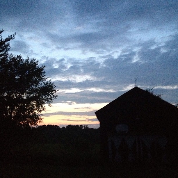
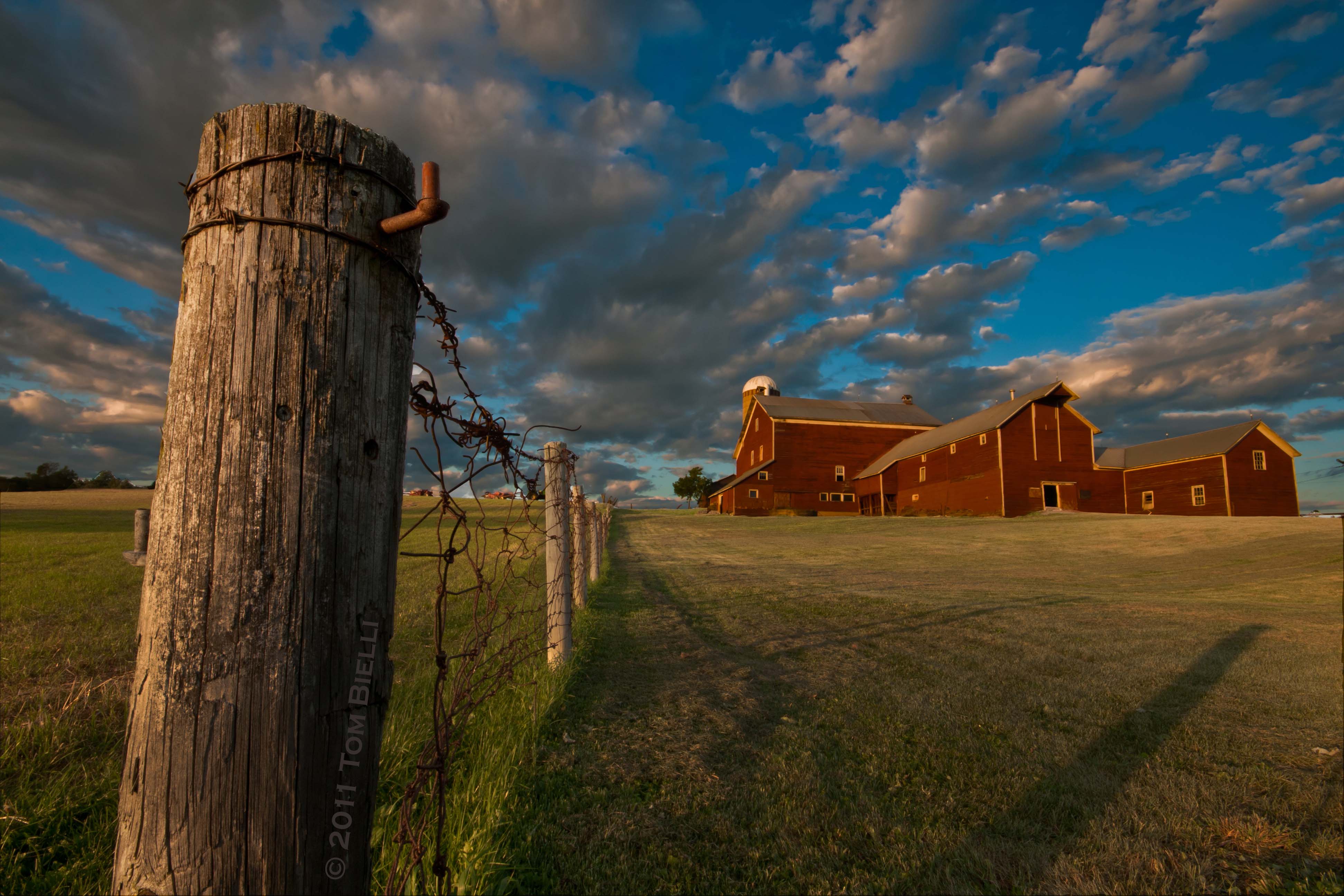
#Barn at #sunset

Sunset March
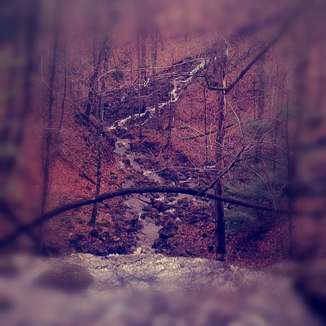
We had walked down a very steep hill to a stream that was our property line. We followed the main stream for a ways and decided to take a tributary that went up a really steep ravine to get back to our truck. The ravine dead ended and we were surrounded b
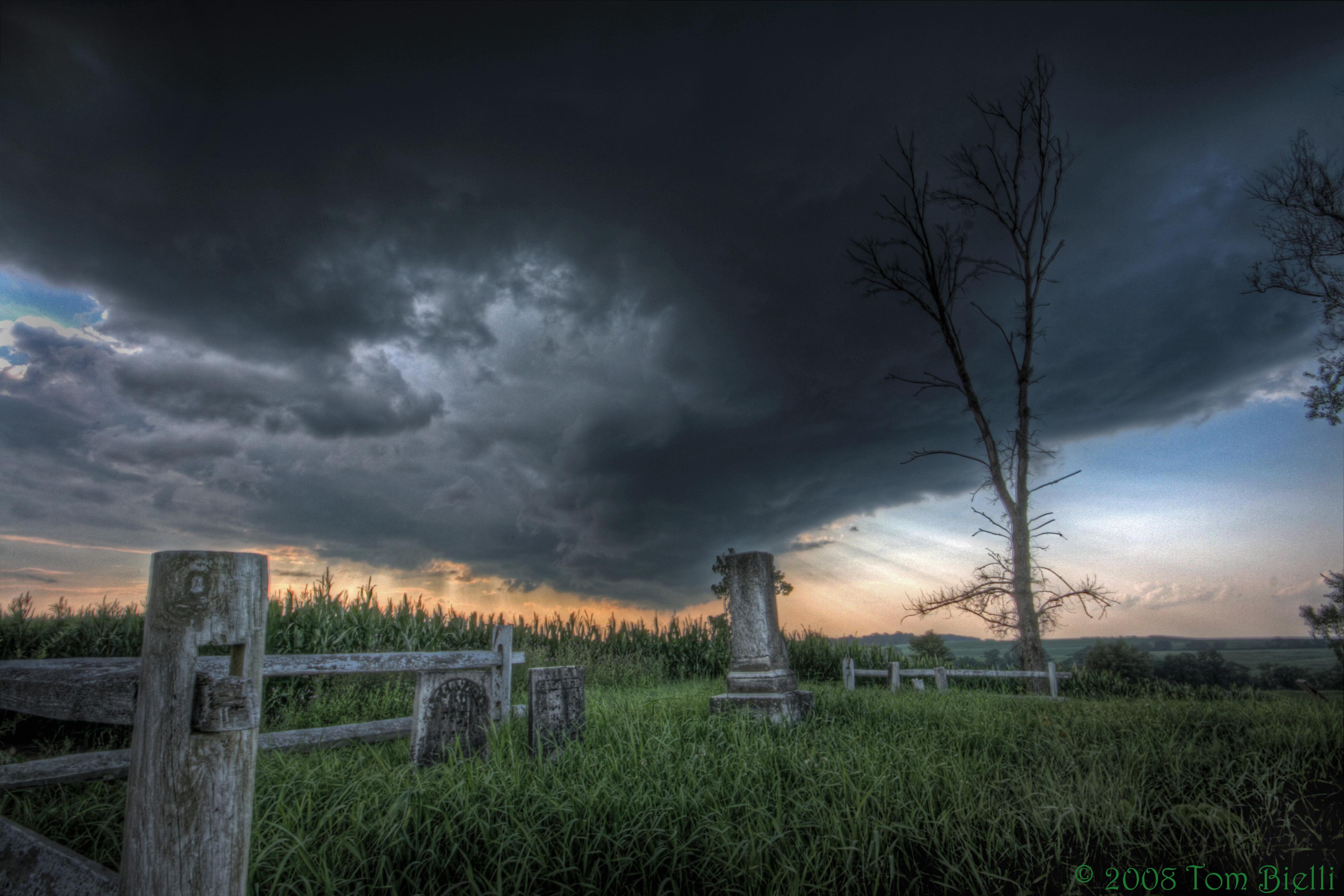
Hall Road Cemetery

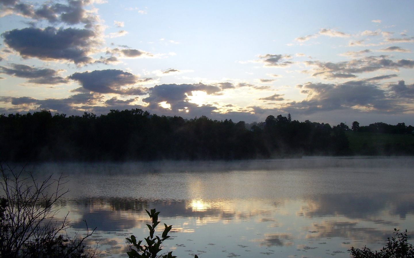
Great Sacandaga Sunset
Stormy sunset

Wilde Monument in Tribes Hill at sunset
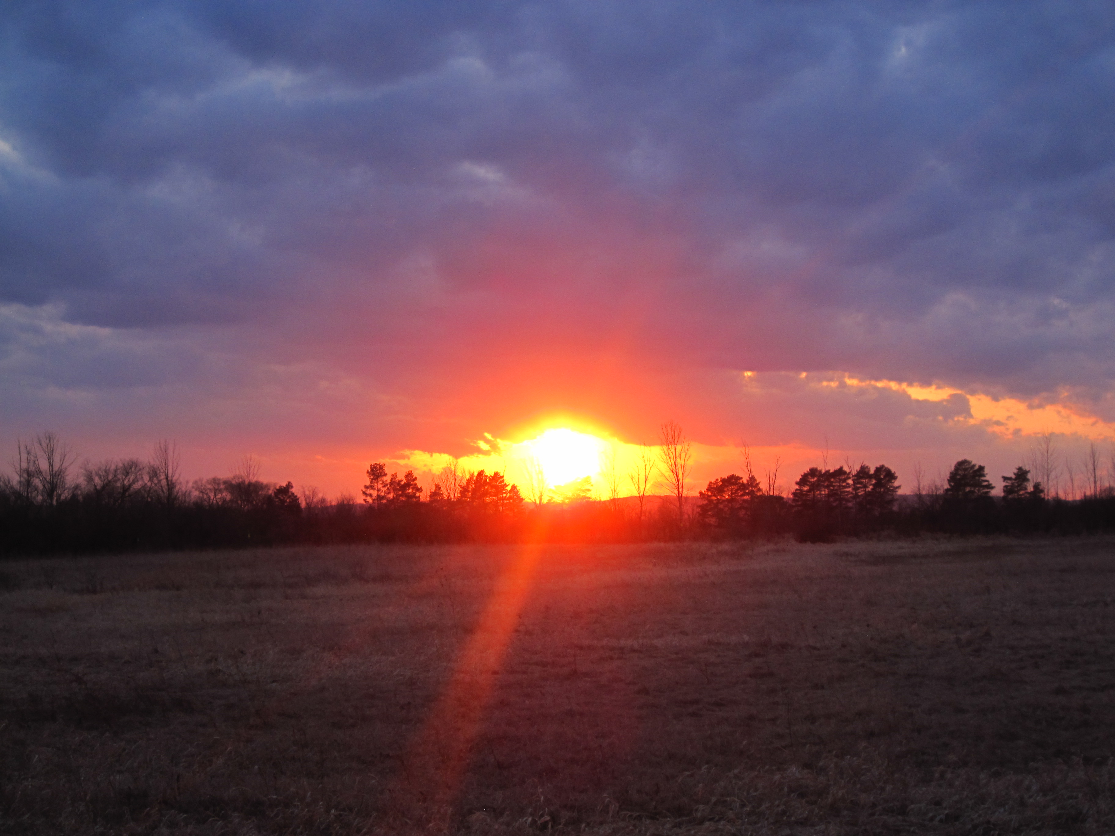
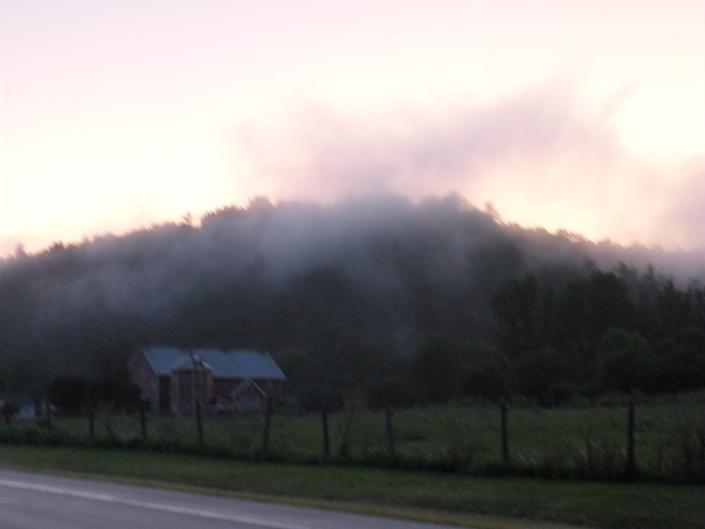
Mohawk Valley sunset.
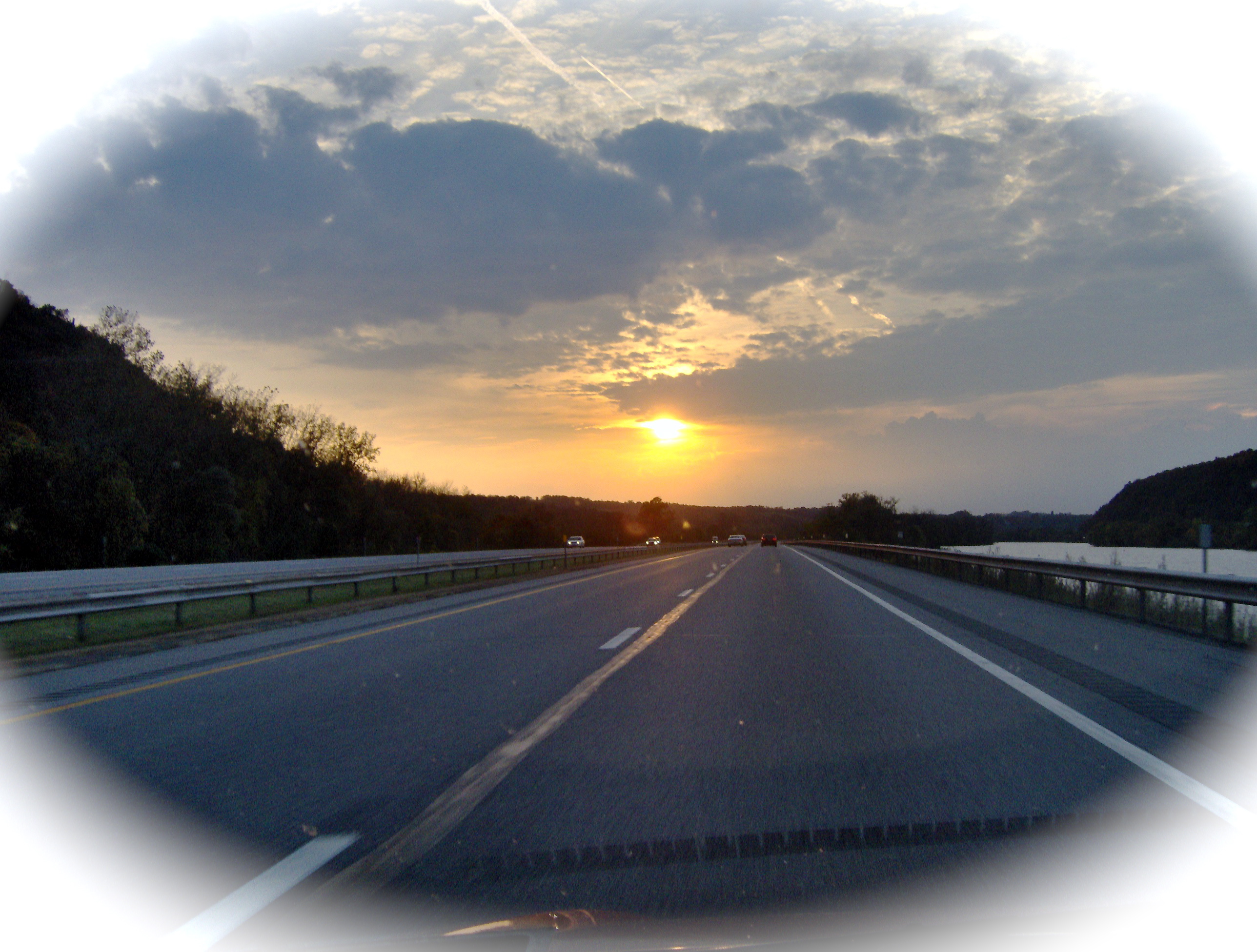
Sunset on the Thruway
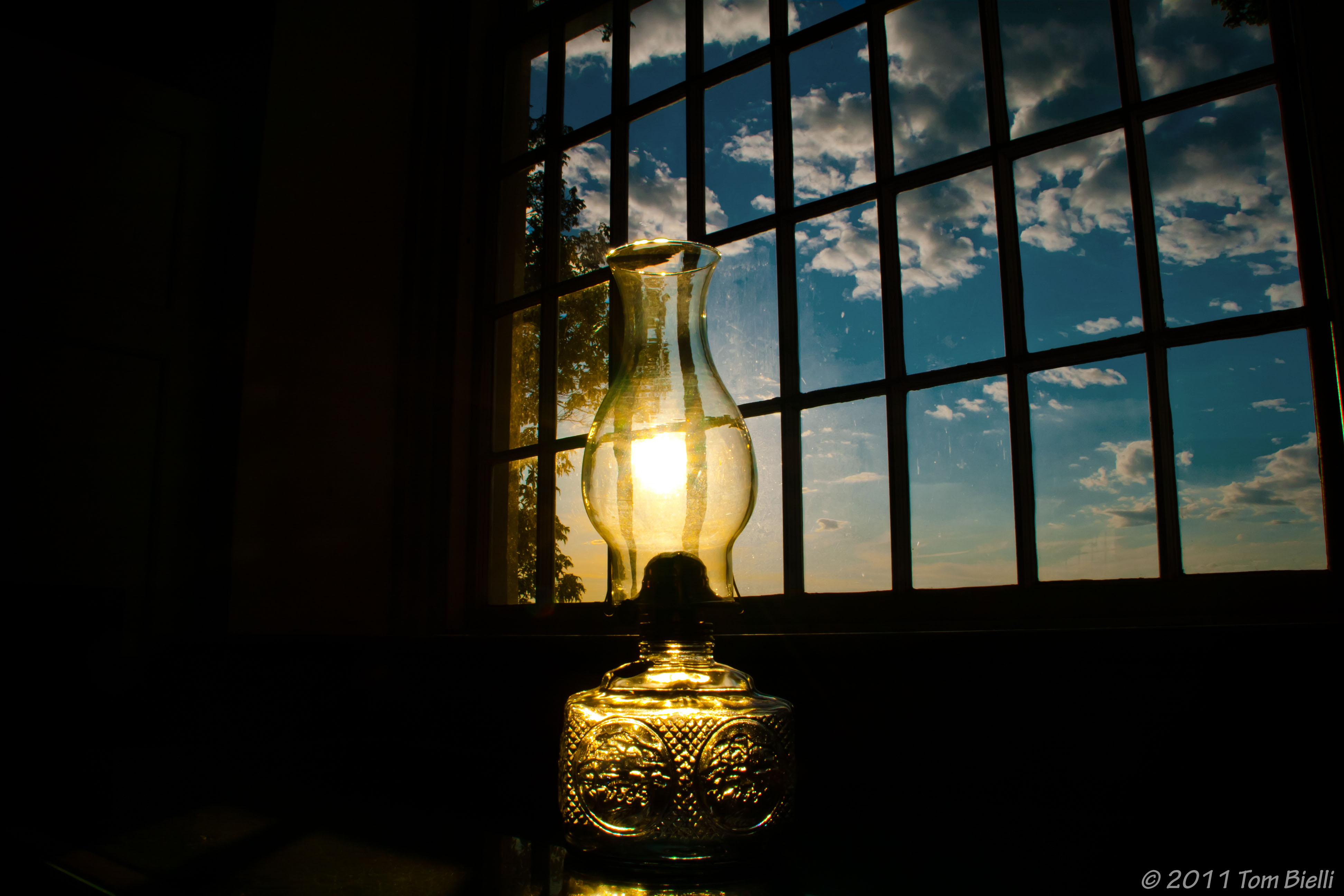
Sun - Light
Palatine Sunset
2009-07-13-5987-Sunrise
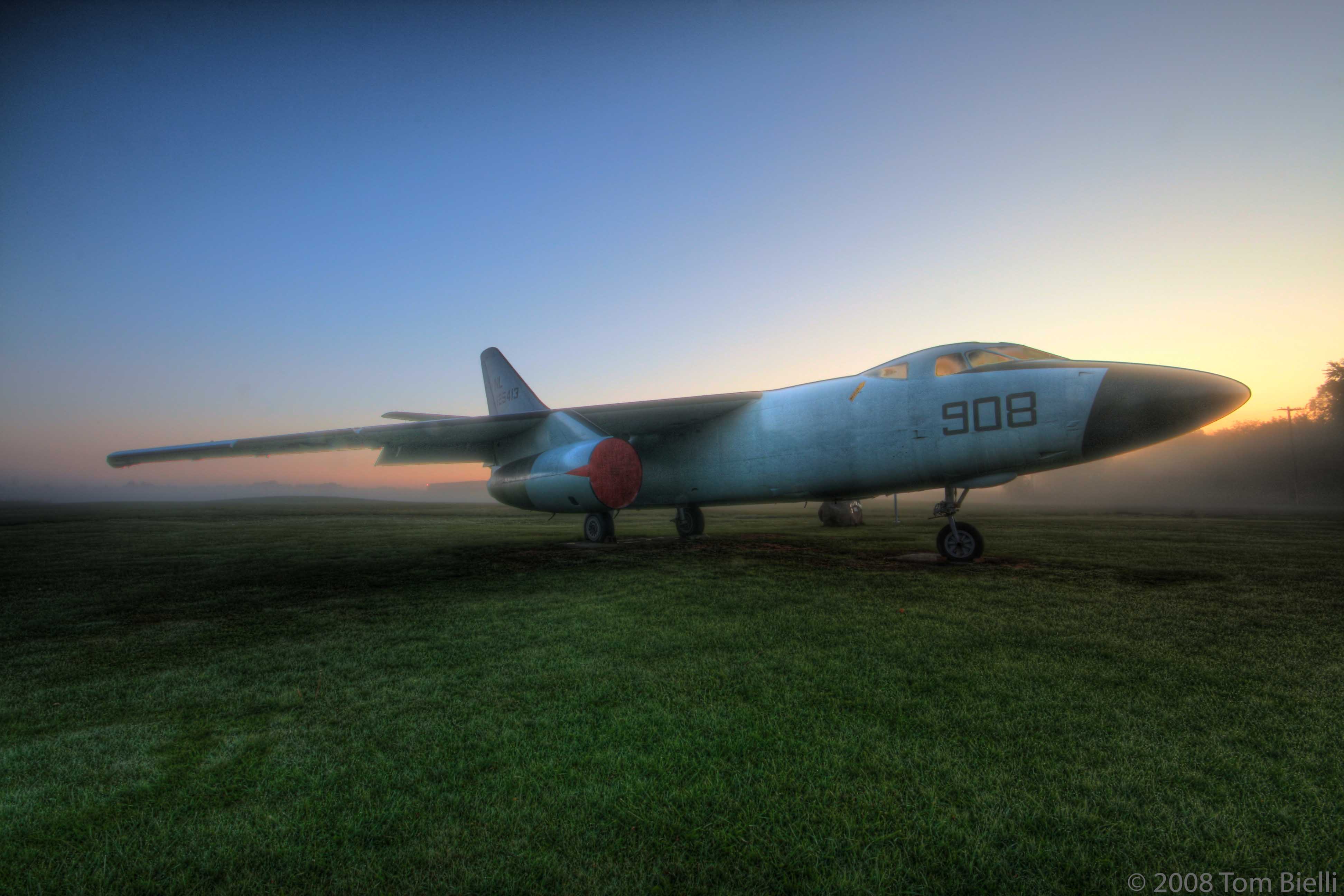
A-3 Skywarrior
美國紐約州蒙哥馬利縣的地圖
搜索其他地方的日出日落時間
美國紐約州蒙哥馬利縣的其他地方
Canajoharie, NY, 美國
Minden, NY 美國
Root, NY, 美國
Charleston, NY, 美國
Florida, NY, 美國
Amsterdam, NY, 美國
Glen, NY, 美國
美國紐約州阿姆斯特丹
Palatine, NY, 美國
Mohawk, NY, 美國
St Johnsville, NY, 美國St. Johnsville
附近地點
Argersinger Rd, Fultonville, NY 美國
Reservoir Rd, Fonda, NY 美國
Mohawk, NY, 美國
Sprakers, NY, 美國
Cayadutta St, Fonda, NY 美國Keymark Corporation
60 W Main St, Fonda, NY 美國
Scott Rd, Fultonville, NY 美國
美國紐約州方達
Park St, Fonda, NY 美國Park Street
Fultonville, NY, 美國
Scott Rd, Fultonville, NY 美國
New Turnpike Rd, Fort Plain, NY 美國
H Gray Rd, Fort Plain, NY 美國
S Market St, Johnstown, NY 美國
E 3rd Ave, Johnstown, NY 美國
Johnstown, NY 美國
Co Rd, Johnstown, NY 美國
Johnstown, NY, 美國
Stewart Lane, Fonda, NY 美國
Old Peck Hill Rd, Gloversville, NY 美國
最近搜索
- Red Dog Mine, AK, USA的日出日落時間表
- Am bhf, Borken, 德國Am Bahnhof的日出日落時間表
- 4th St E, Sonoma, CA 美國的日出日落時間表
- Oakland Ave, Williamsport, PA 美國的日出日落時間表
- Via Roma, Pieranica CR, 義大利的日出日落時間表
- 克羅埃西亞杜布羅夫尼克 GradClock Tower of Dubrovnik的日出日落時間表
- 阿根廷丘布特省特雷利烏的日出日落時間表
- Hartfords Bluff Cir, Mt Pleasant, SC 美國的日出日落時間表
- 日本熊本縣熊本市北區的日出日落時間表
- 中國福州市平潭縣平潭島的日出日落時間表