Kurihashi, Kuki, Saitama Prefecture -日本的日出日落時間表
Location: 日本 > 埼玉縣 > 久喜市 >
時區:
Asia/Tokyo
當地時間:
2025-06-24 08:49:10
經度:
139.707963
緯度:
36.1219748
今天日出時間:
04:25:10 AM
今天日落時間:
07:02:07 PM
今天日照時長:
14h 36m 57s
明天日出時間:
04:25:29 AM
明天日落時間:
07:02:14 PM
明天日照時長:
14h 36m 45s
顯示所有日期
| 日期 | 日出 | 日落 | 日照時長 |
|---|---|---|---|
| 2025年01月01日 | 06:52:00 AM | 04:37:27 PM | 9h 45m 27s |
| 2025年01月02日 | 06:52:09 AM | 04:38:14 PM | 9h 46m 5s |
| 2025年01月03日 | 06:52:17 AM | 04:39:02 PM | 9h 46m 45s |
| 2025年01月04日 | 06:52:22 AM | 04:39:51 PM | 9h 47m 29s |
| 2025年01月05日 | 06:52:25 AM | 04:40:41 PM | 9h 48m 16s |
| 2025年01月06日 | 06:52:27 AM | 04:41:33 PM | 9h 49m 6s |
| 2025年01月07日 | 06:52:26 AM | 04:42:26 PM | 9h 50m 0s |
| 2025年01月08日 | 06:52:23 AM | 04:43:19 PM | 9h 50m 56s |
| 2025年01月09日 | 06:52:19 AM | 04:44:14 PM | 9h 51m 55s |
| 2025年01月10日 | 06:52:12 AM | 04:45:09 PM | 9h 52m 57s |
| 2025年01月11日 | 06:52:04 AM | 04:46:05 PM | 9h 54m 1s |
| 2025年01月12日 | 06:51:53 AM | 04:47:02 PM | 9h 55m 9s |
| 2025年01月13日 | 06:51:41 AM | 04:48:00 PM | 9h 56m 19s |
| 2025年01月14日 | 06:51:26 AM | 04:48:58 PM | 9h 57m 32s |
| 2025年01月15日 | 06:51:10 AM | 04:49:57 PM | 9h 58m 47s |
| 2025年01月16日 | 06:50:52 AM | 04:50:57 PM | 10h 0m 5s |
| 2025年01月17日 | 06:50:32 AM | 04:51:57 PM | 10h 1m 25s |
| 2025年01月18日 | 06:50:09 AM | 04:52:58 PM | 10h 2m 49s |
| 2025年01月19日 | 06:49:45 AM | 04:53:59 PM | 10h 4m 14s |
| 2025年01月20日 | 06:49:19 AM | 04:55:01 PM | 10h 5m 42s |
| 2025年01月21日 | 06:48:52 AM | 04:56:03 PM | 10h 7m 11s |
| 2025年01月22日 | 06:48:22 AM | 04:57:05 PM | 10h 8m 43s |
| 2025年01月23日 | 06:47:51 AM | 04:58:07 PM | 10h 10m 16s |
| 2025年01月24日 | 06:47:17 AM | 04:59:10 PM | 10h 11m 53s |
| 2025年01月25日 | 06:46:42 AM | 05:00:13 PM | 10h 13m 31s |
| 2025年01月26日 | 06:46:05 AM | 05:01:16 PM | 10h 15m 11s |
| 2025年01月27日 | 06:45:27 AM | 05:02:19 PM | 10h 16m 52s |
| 2025年01月28日 | 06:44:47 AM | 05:03:23 PM | 10h 18m 36s |
| 2025年01月29日 | 06:44:05 AM | 05:04:26 PM | 10h 20m 21s |
| 2025年01月30日 | 06:43:21 AM | 05:05:30 PM | 10h 22m 9s |
| 2025年01月31日 | 06:42:36 AM | 05:06:33 PM | 10h 23m 57s |
| 2025年02月01日 | 06:41:49 AM | 05:07:37 PM | 10h 25m 48s |
| 2025年02月02日 | 06:41:01 AM | 05:08:40 PM | 10h 27m 39s |
| 2025年02月03日 | 06:40:11 AM | 05:09:43 PM | 10h 29m 32s |
| 2025年02月04日 | 06:39:19 AM | 05:10:46 PM | 10h 31m 27s |
| 2025年02月05日 | 06:38:26 AM | 05:11:49 PM | 10h 33m 23s |
| 2025年02月06日 | 06:37:32 AM | 05:12:52 PM | 10h 35m 20s |
| 2025年02月07日 | 06:36:36 AM | 05:13:55 PM | 10h 37m 19s |
| 2025年02月08日 | 06:35:39 AM | 05:14:58 PM | 10h 39m 19s |
| 2025年02月09日 | 06:34:40 AM | 05:16:00 PM | 10h 41m 20s |
| 2025年02月10日 | 06:33:40 AM | 05:17:02 PM | 10h 43m 22s |
| 2025年02月11日 | 06:32:39 AM | 05:18:04 PM | 10h 45m 25s |
| 2025年02月12日 | 06:31:37 AM | 05:19:05 PM | 10h 47m 28s |
| 2025年02月13日 | 06:30:33 AM | 05:20:07 PM | 10h 49m 34s |
| 2025年02月14日 | 06:29:28 AM | 05:21:08 PM | 10h 51m 40s |
| 2025年02月15日 | 06:28:22 AM | 05:22:08 PM | 10h 53m 46s |
| 2025年02月16日 | 06:27:15 AM | 05:23:09 PM | 10h 55m 54s |
| 2025年02月17日 | 06:26:06 AM | 05:24:09 PM | 10h 58m 3s |
| 2025年02月18日 | 06:24:57 AM | 05:25:09 PM | 11h 0m 12s |
| 2025年02月19日 | 06:23:46 AM | 05:26:08 PM | 11h 2m 22s |
| 2025年02月20日 | 06:22:35 AM | 05:27:07 PM | 11h 4m 32s |
| 2025年02月21日 | 06:21:22 AM | 05:28:06 PM | 11h 6m 44s |
| 2025年02月22日 | 06:20:09 AM | 05:29:05 PM | 11h 8m 56s |
| 2025年02月23日 | 06:18:55 AM | 05:30:03 PM | 11h 11m 8s |
| 2025年02月24日 | 06:17:40 AM | 05:31:01 PM | 11h 13m 21s |
| 2025年02月25日 | 06:16:23 AM | 05:31:58 PM | 11h 15m 35s |
| 2025年02月26日 | 06:15:07 AM | 05:32:55 PM | 11h 17m 48s |
| 2025年02月27日 | 06:13:49 AM | 05:33:52 PM | 11h 20m 3s |
| 2025年02月28日 | 06:12:31 AM | 05:34:49 PM | 11h 22m 18s |
| 2025年03月01日 | 06:11:12 AM | 05:35:45 PM | 11h 24m 33s |
| 2025年03月02日 | 06:09:52 AM | 05:36:41 PM | 11h 26m 49s |
| 2025年03月03日 | 06:08:31 AM | 05:37:37 PM | 11h 29m 6s |
| 2025年03月04日 | 06:07:10 AM | 05:38:32 PM | 11h 31m 22s |
| 2025年03月05日 | 06:05:49 AM | 05:39:27 PM | 11h 33m 38s |
| 2025年03月06日 | 06:04:26 AM | 05:40:21 PM | 11h 35m 55s |
| 2025年03月07日 | 06:03:04 AM | 05:41:16 PM | 11h 38m 12s |
| 2025年03月08日 | 06:01:40 AM | 05:42:10 PM | 11h 40m 30s |
| 2025年03月09日 | 06:00:17 AM | 05:43:04 PM | 11h 42m 47s |
| 2025年03月10日 | 05:58:52 AM | 05:43:57 PM | 11h 45m 5s |
| 2025年03月11日 | 05:57:28 AM | 05:44:51 PM | 11h 47m 23s |
| 2025年03月12日 | 05:56:03 AM | 05:45:44 PM | 11h 49m 41s |
| 2025年03月13日 | 05:54:38 AM | 05:46:37 PM | 11h 51m 59s |
| 2025年03月14日 | 05:53:12 AM | 05:47:29 PM | 11h 54m 17s |
| 2025年03月15日 | 05:51:46 AM | 05:48:22 PM | 11h 56m 36s |
| 2025年03月16日 | 05:50:20 AM | 05:49:14 PM | 11h 58m 54s |
| 2025年03月17日 | 05:48:53 AM | 05:50:06 PM | 12h 1m 13s |
| 2025年03月18日 | 05:47:27 AM | 05:50:58 PM | 12h 3m 31s |
| 2025年03月19日 | 05:46:00 AM | 05:51:50 PM | 12h 5m 50s |
| 2025年03月20日 | 05:44:33 AM | 05:52:41 PM | 12h 8m 8s |
| 2025年03月21日 | 05:43:06 AM | 05:53:33 PM | 12h 10m 27s |
| 2025年03月22日 | 05:41:39 AM | 05:54:24 PM | 12h 12m 45s |
| 2025年03月23日 | 05:40:12 AM | 05:55:15 PM | 12h 15m 3s |
| 2025年03月24日 | 05:38:45 AM | 05:56:06 PM | 12h 17m 21s |
| 2025年03月25日 | 05:37:18 AM | 05:56:57 PM | 12h 19m 39s |
| 2025年03月26日 | 05:35:51 AM | 05:57:48 PM | 12h 21m 57s |
| 2025年03月27日 | 05:34:24 AM | 05:58:39 PM | 12h 24m 15s |
| 2025年03月28日 | 05:32:57 AM | 05:59:30 PM | 12h 26m 33s |
| 2025年03月29日 | 05:31:30 AM | 06:00:20 PM | 12h 28m 50s |
| 2025年03月30日 | 05:30:03 AM | 06:01:11 PM | 12h 31m 8s |
| 2025年03月31日 | 05:28:37 AM | 06:02:01 PM | 12h 33m 24s |
| 2025年04月01日 | 05:27:11 AM | 06:02:52 PM | 12h 35m 41s |
| 2025年04月02日 | 05:25:45 AM | 06:03:42 PM | 12h 37m 57s |
| 2025年04月03日 | 05:24:19 AM | 06:04:33 PM | 12h 40m 14s |
| 2025年04月04日 | 05:22:54 AM | 06:05:23 PM | 12h 42m 29s |
| 2025年04月05日 | 05:21:29 AM | 06:06:14 PM | 12h 44m 45s |
| 2025年04月06日 | 05:20:04 AM | 06:07:05 PM | 12h 47m 1s |
| 2025年04月07日 | 05:18:40 AM | 06:07:55 PM | 12h 49m 15s |
| 2025年04月08日 | 05:17:16 AM | 06:08:46 PM | 12h 51m 30s |
| 2025年04月09日 | 05:15:53 AM | 06:09:36 PM | 12h 53m 43s |
| 2025年04月10日 | 05:14:30 AM | 06:10:27 PM | 12h 55m 57s |
| 2025年04月11日 | 05:13:07 AM | 06:11:17 PM | 12h 58m 10s |
| 2025年04月12日 | 05:11:45 AM | 06:12:08 PM | 13h 0m 23s |
| 2025年04月13日 | 05:10:24 AM | 06:12:59 PM | 13h 2m 35s |
| 2025年04月14日 | 05:09:03 AM | 06:13:50 PM | 13h 4m 47s |
| 2025年04月15日 | 05:07:43 AM | 06:14:41 PM | 13h 6m 58s |
| 2025年04月16日 | 05:06:24 AM | 06:15:32 PM | 13h 9m 8s |
| 2025年04月17日 | 05:05:05 AM | 06:16:23 PM | 13h 11m 18s |
| 2025年04月18日 | 05:03:47 AM | 06:17:14 PM | 13h 13m 27s |
| 2025年04月19日 | 05:02:30 AM | 06:18:05 PM | 13h 15m 35s |
| 2025年04月20日 | 05:01:13 AM | 06:18:56 PM | 13h 17m 43s |
| 2025年04月21日 | 04:59:58 AM | 06:19:47 PM | 13h 19m 49s |
| 2025年04月22日 | 04:58:43 AM | 06:20:38 PM | 13h 21m 55s |
| 2025年04月23日 | 04:57:29 AM | 06:21:29 PM | 13h 24m 0s |
| 2025年04月24日 | 04:56:16 AM | 06:22:21 PM | 13h 26m 5s |
| 2025年04月25日 | 04:55:04 AM | 06:23:12 PM | 13h 28m 8s |
| 2025年04月26日 | 04:53:52 AM | 06:24:04 PM | 13h 30m 12s |
| 2025年04月27日 | 04:52:42 AM | 06:24:55 PM | 13h 32m 13s |
| 2025年04月28日 | 04:51:33 AM | 06:25:46 PM | 13h 34m 13s |
| 2025年04月29日 | 04:50:25 AM | 06:26:38 PM | 13h 36m 13s |
| 2025年04月30日 | 04:49:18 AM | 06:27:29 PM | 13h 38m 11s |
| 2025年05月01日 | 04:48:12 AM | 06:28:20 PM | 13h 40m 8s |
| 2025年05月02日 | 04:47:07 AM | 06:29:12 PM | 13h 42m 5s |
| 2025年05月03日 | 04:46:03 AM | 06:30:03 PM | 13h 44m 0s |
| 2025年05月04日 | 04:45:00 AM | 06:30:54 PM | 13h 45m 54s |
| 2025年05月05日 | 04:43:59 AM | 06:31:45 PM | 13h 47m 46s |
| 2025年05月06日 | 04:42:59 AM | 06:32:36 PM | 13h 49m 37s |
| 2025年05月07日 | 04:42:00 AM | 06:33:27 PM | 13h 51m 27s |
| 2025年05月08日 | 04:41:02 AM | 06:34:18 PM | 13h 53m 16s |
| 2025年05月09日 | 04:40:06 AM | 06:35:08 PM | 13h 55m 2s |
| 2025年05月10日 | 04:39:11 AM | 06:35:58 PM | 13h 56m 47s |
| 2025年05月11日 | 04:38:17 AM | 06:36:49 PM | 13h 58m 32s |
| 2025年05月12日 | 04:37:25 AM | 06:37:38 PM | 14h 0m 13s |
| 2025年05月13日 | 04:36:34 AM | 06:38:28 PM | 14h 1m 54s |
| 2025年05月14日 | 04:35:45 AM | 06:39:17 PM | 14h 3m 32s |
| 2025年05月15日 | 04:34:57 AM | 06:40:06 PM | 14h 5m 9s |
| 2025年05月16日 | 04:34:10 AM | 06:40:55 PM | 14h 6m 45s |
| 2025年05月17日 | 04:33:25 AM | 06:41:43 PM | 14h 8m 18s |
| 2025年05月18日 | 04:32:42 AM | 06:42:31 PM | 14h 9m 49s |
| 2025年05月19日 | 04:32:00 AM | 06:43:19 PM | 14h 11m 19s |
| 2025年05月20日 | 04:31:19 AM | 06:44:06 PM | 14h 12m 47s |
| 2025年05月21日 | 04:30:40 AM | 06:44:52 PM | 14h 14m 12s |
| 2025年05月22日 | 04:30:03 AM | 06:45:38 PM | 14h 15m 35s |
| 2025年05月23日 | 04:29:28 AM | 06:46:24 PM | 14h 16m 56s |
| 2025年05月24日 | 04:28:54 AM | 06:47:08 PM | 14h 18m 14s |
| 2025年05月25日 | 04:28:21 AM | 06:47:53 PM | 14h 19m 32s |
| 2025年05月26日 | 04:27:50 AM | 06:48:36 PM | 14h 20m 46s |
| 2025年05月27日 | 04:27:21 AM | 06:49:19 PM | 14h 21m 58s |
| 2025年05月28日 | 04:26:54 AM | 06:50:01 PM | 14h 23m 7s |
| 2025年05月29日 | 04:26:28 AM | 06:50:42 PM | 14h 24m 14s |
| 2025年05月30日 | 04:26:04 AM | 06:51:23 PM | 14h 25m 19s |
| 2025年05月31日 | 04:25:42 AM | 06:52:03 PM | 14h 26m 21s |
| 2025年06月01日 | 04:25:21 AM | 06:52:41 PM | 14h 27m 20s |
| 2025年06月02日 | 04:25:02 AM | 06:53:19 PM | 14h 28m 17s |
| 2025年06月03日 | 04:24:45 AM | 06:53:56 PM | 14h 29m 11s |
| 2025年06月04日 | 04:24:29 AM | 06:54:32 PM | 14h 30m 3s |
| 2025年06月05日 | 04:24:16 AM | 06:55:07 PM | 14h 30m 51s |
| 2025年06月06日 | 04:24:04 AM | 06:55:41 PM | 14h 31m 37s |
| 2025年06月07日 | 04:23:53 AM | 06:56:13 PM | 14h 32m 20s |
| 2025年06月08日 | 04:23:45 AM | 06:56:45 PM | 14h 33m 0s |
| 2025年06月09日 | 04:23:38 AM | 06:57:15 PM | 14h 33m 37s |
| 2025年06月10日 | 04:23:32 AM | 06:57:44 PM | 14h 34m 12s |
| 2025年06月11日 | 04:23:29 AM | 06:58:12 PM | 14h 34m 43s |
| 2025年06月12日 | 04:23:27 AM | 06:58:39 PM | 14h 35m 12s |
| 2025年06月13日 | 04:23:27 AM | 06:59:04 PM | 14h 35m 37s |
| 2025年06月14日 | 04:23:28 AM | 06:59:28 PM | 14h 36m 0s |
| 2025年06月15日 | 04:23:31 AM | 06:59:50 PM | 14h 36m 19s |
| 2025年06月16日 | 04:23:36 AM | 07:00:11 PM | 14h 36m 35s |
| 2025年06月17日 | 04:23:42 AM | 07:00:31 PM | 14h 36m 49s |
| 2025年06月18日 | 04:23:50 AM | 07:00:49 PM | 14h 36m 59s |
| 2025年06月19日 | 04:23:59 AM | 07:01:06 PM | 14h 37m 7s |
| 2025年06月20日 | 04:24:10 AM | 07:01:21 PM | 14h 37m 11s |
| 2025年06月21日 | 04:24:23 AM | 07:01:35 PM | 14h 37m 12s |
| 2025年06月22日 | 04:24:37 AM | 07:01:47 PM | 14h 37m 10s |
| 2025年06月23日 | 04:24:52 AM | 07:01:57 PM | 14h 37m 5s |
| 2025年06月24日 | 04:25:09 AM | 07:02:06 PM | 14h 36m 57s |
| 2025年06月25日 | 04:25:28 AM | 07:02:13 PM | 14h 36m 45s |
| 2025年06月26日 | 04:25:48 AM | 07:02:19 PM | 14h 36m 31s |
| 2025年06月27日 | 04:26:09 AM | 07:02:23 PM | 14h 36m 14s |
| 2025年06月28日 | 04:26:31 AM | 07:02:25 PM | 14h 35m 54s |
| 2025年06月29日 | 04:26:55 AM | 07:02:26 PM | 14h 35m 31s |
| 2025年06月30日 | 04:27:20 AM | 07:02:24 PM | 14h 35m 4s |
| 2025年07月01日 | 04:27:46 AM | 07:02:21 PM | 14h 34m 35s |
| 2025年07月02日 | 04:28:14 AM | 07:02:17 PM | 14h 34m 3s |
| 2025年07月03日 | 04:28:42 AM | 07:02:10 PM | 14h 33m 28s |
| 2025年07月04日 | 04:29:12 AM | 07:02:02 PM | 14h 32m 50s |
| 2025年07月05日 | 04:29:43 AM | 07:01:52 PM | 14h 32m 9s |
| 2025年07月06日 | 04:30:15 AM | 07:01:41 PM | 14h 31m 26s |
| 2025年07月07日 | 04:30:48 AM | 07:01:27 PM | 14h 30m 39s |
| 2025年07月08日 | 04:31:22 AM | 07:01:12 PM | 14h 29m 50s |
| 2025年07月09日 | 04:31:57 AM | 07:00:55 PM | 14h 28m 58s |
| 2025年07月10日 | 04:32:32 AM | 07:00:37 PM | 14h 28m 5s |
| 2025年07月11日 | 04:33:09 AM | 07:00:16 PM | 14h 27m 7s |
| 2025年07月12日 | 04:33:47 AM | 06:59:54 PM | 14h 26m 7s |
| 2025年07月13日 | 04:34:25 AM | 06:59:30 PM | 14h 25m 5s |
| 2025年07月14日 | 04:35:04 AM | 06:59:05 PM | 14h 24m 1s |
| 2025年07月15日 | 04:35:44 AM | 06:58:37 PM | 14h 22m 53s |
| 2025年07月16日 | 04:36:24 AM | 06:58:08 PM | 14h 21m 44s |
| 2025年07月17日 | 04:37:05 AM | 06:57:37 PM | 14h 20m 32s |
| 2025年07月18日 | 04:37:47 AM | 06:57:05 PM | 14h 19m 18s |
| 2025年07月19日 | 04:38:30 AM | 06:56:31 PM | 14h 18m 1s |
| 2025年07月20日 | 04:39:13 AM | 06:55:55 PM | 14h 16m 42s |
| 2025年07月21日 | 04:39:56 AM | 06:55:18 PM | 14h 15m 22s |
| 2025年07月22日 | 04:40:40 AM | 06:54:39 PM | 14h 13m 59s |
| 2025年07月23日 | 04:41:24 AM | 06:53:58 PM | 14h 12m 34s |
| 2025年07月24日 | 04:42:09 AM | 06:53:16 PM | 14h 11m 7s |
| 2025年07月25日 | 04:42:54 AM | 06:52:32 PM | 14h 9m 38s |
| 2025年07月26日 | 04:43:40 AM | 06:51:47 PM | 14h 8m 7s |
| 2025年07月27日 | 04:44:26 AM | 06:51:00 PM | 14h 6m 34s |
| 2025年07月28日 | 04:45:12 AM | 06:50:12 PM | 14h 5m 0s |
| 2025年07月29日 | 04:45:58 AM | 06:49:22 PM | 14h 3m 24s |
| 2025年07月30日 | 04:46:45 AM | 06:48:31 PM | 14h 1m 46s |
| 2025年07月31日 | 04:47:32 AM | 06:47:38 PM | 14h 0m 6s |
| 2025年08月01日 | 04:48:19 AM | 06:46:44 PM | 13h 58m 25s |
| 2025年08月02日 | 04:49:06 AM | 06:45:48 PM | 13h 56m 42s |
| 2025年08月03日 | 04:49:54 AM | 06:44:51 PM | 13h 54m 57s |
| 2025年08月04日 | 04:50:41 AM | 06:43:53 PM | 13h 53m 12s |
| 2025年08月05日 | 04:51:29 AM | 06:42:53 PM | 13h 51m 24s |
| 2025年08月06日 | 04:52:17 AM | 06:41:53 PM | 13h 49m 36s |
| 2025年08月07日 | 04:53:05 AM | 06:40:50 PM | 13h 47m 45s |
| 2025年08月08日 | 04:53:52 AM | 06:39:47 PM | 13h 45m 55s |
| 2025年08月09日 | 04:54:40 AM | 06:38:43 PM | 13h 44m 3s |
| 2025年08月10日 | 04:55:28 AM | 06:37:37 PM | 13h 42m 9s |
| 2025年08月11日 | 04:56:16 AM | 06:36:30 PM | 13h 40m 14s |
| 2025年08月12日 | 04:57:04 AM | 06:35:22 PM | 13h 38m 18s |
| 2025年08月13日 | 04:57:52 AM | 06:34:13 PM | 13h 36m 21s |
| 2025年08月14日 | 04:58:40 AM | 06:33:03 PM | 13h 34m 23s |
| 2025年08月15日 | 04:59:28 AM | 06:31:52 PM | 13h 32m 24s |
| 2025年08月16日 | 05:00:16 AM | 06:30:39 PM | 13h 30m 23s |
| 2025年08月17日 | 05:01:03 AM | 06:29:26 PM | 13h 28m 23s |
| 2025年08月18日 | 05:01:51 AM | 06:28:12 PM | 13h 26m 21s |
| 2025年08月19日 | 05:02:39 AM | 06:26:57 PM | 13h 24m 18s |
| 2025年08月20日 | 05:03:26 AM | 06:25:41 PM | 13h 22m 15s |
| 2025年08月21日 | 05:04:14 AM | 06:24:24 PM | 13h 20m 10s |
| 2025年08月22日 | 05:05:01 AM | 06:23:07 PM | 13h 18m 6s |
| 2025年08月23日 | 05:05:48 AM | 06:21:48 PM | 13h 16m 0s |
| 2025年08月24日 | 05:06:36 AM | 06:20:29 PM | 13h 13m 53s |
| 2025年08月25日 | 05:07:23 AM | 06:19:09 PM | 13h 11m 46s |
| 2025年08月26日 | 05:08:10 AM | 06:17:48 PM | 13h 9m 38s |
| 2025年08月27日 | 05:08:57 AM | 06:16:27 PM | 13h 7m 30s |
| 2025年08月28日 | 05:09:44 AM | 06:15:05 PM | 13h 5m 21s |
| 2025年08月29日 | 05:10:30 AM | 06:13:42 PM | 13h 3m 12s |
| 2025年08月30日 | 05:11:17 AM | 06:12:18 PM | 13h 1m 1s |
| 2025年08月31日 | 05:12:04 AM | 06:10:55 PM | 12h 58m 51s |
| 2025年09月01日 | 05:12:50 AM | 06:09:30 PM | 12h 56m 40s |
| 2025年09月02日 | 05:13:37 AM | 06:08:05 PM | 12h 54m 28s |
| 2025年09月03日 | 05:14:23 AM | 06:06:40 PM | 12h 52m 17s |
| 2025年09月04日 | 05:15:10 AM | 06:05:14 PM | 12h 50m 4s |
| 2025年09月05日 | 05:15:56 AM | 06:03:47 PM | 12h 47m 51s |
| 2025年09月06日 | 05:16:42 AM | 06:02:21 PM | 12h 45m 39s |
| 2025年09月07日 | 05:17:28 AM | 06:00:53 PM | 12h 43m 25s |
| 2025年09月08日 | 05:18:15 AM | 05:59:26 PM | 12h 41m 11s |
| 2025年09月09日 | 05:19:01 AM | 05:57:58 PM | 12h 38m 57s |
| 2025年09月10日 | 05:19:47 AM | 05:56:30 PM | 12h 36m 43s |
| 2025年09月11日 | 05:20:33 AM | 05:55:02 PM | 12h 34m 29s |
| 2025年09月12日 | 05:21:20 AM | 05:53:33 PM | 12h 32m 13s |
| 2025年09月13日 | 05:22:06 AM | 05:52:04 PM | 12h 29m 58s |
| 2025年09月14日 | 05:22:52 AM | 05:50:35 PM | 12h 27m 43s |
| 2025年09月15日 | 05:23:38 AM | 05:49:06 PM | 12h 25m 28s |
| 2025年09月16日 | 05:24:25 AM | 05:47:37 PM | 12h 23m 12s |
| 2025年09月17日 | 05:25:11 AM | 05:46:08 PM | 12h 20m 57s |
| 2025年09月18日 | 05:25:58 AM | 05:44:38 PM | 12h 18m 40s |
| 2025年09月19日 | 05:26:44 AM | 05:43:09 PM | 12h 16m 25s |
| 2025年09月20日 | 05:27:31 AM | 05:41:39 PM | 12h 14m 8s |
| 2025年09月21日 | 05:28:18 AM | 05:40:10 PM | 12h 11m 52s |
| 2025年09月22日 | 05:29:05 AM | 05:38:41 PM | 12h 9m 36s |
| 2025年09月23日 | 05:29:52 AM | 05:37:11 PM | 12h 7m 19s |
| 2025年09月24日 | 05:30:39 AM | 05:35:42 PM | 12h 5m 3s |
| 2025年09月25日 | 05:31:26 AM | 05:34:13 PM | 12h 2m 47s |
| 2025年09月26日 | 05:32:14 AM | 05:32:44 PM | 12h 0m 30s |
| 2025年09月27日 | 05:33:01 AM | 05:31:16 PM | 11h 58m 15s |
| 2025年09月28日 | 05:33:49 AM | 05:29:47 PM | 11h 55m 58s |
| 2025年09月29日 | 05:34:37 AM | 05:28:19 PM | 11h 53m 42s |
| 2025年09月30日 | 05:35:26 AM | 05:26:51 PM | 11h 51m 25s |
| 2025年10月01日 | 05:36:14 AM | 05:25:24 PM | 11h 49m 10s |
| 2025年10月02日 | 05:37:03 AM | 05:23:57 PM | 11h 46m 54s |
| 2025年10月03日 | 05:37:52 AM | 05:22:30 PM | 11h 44m 38s |
| 2025年10月04日 | 05:38:41 AM | 05:21:04 PM | 11h 42m 23s |
| 2025年10月05日 | 05:39:31 AM | 05:19:38 PM | 11h 40m 7s |
| 2025年10月06日 | 05:40:21 AM | 05:18:12 PM | 11h 37m 51s |
| 2025年10月07日 | 05:41:11 AM | 05:16:47 PM | 11h 35m 36s |
| 2025年10月08日 | 05:42:01 AM | 05:15:23 PM | 11h 33m 22s |
| 2025年10月09日 | 05:42:52 AM | 05:13:59 PM | 11h 31m 7s |
| 2025年10月10日 | 05:43:43 AM | 05:12:36 PM | 11h 28m 53s |
| 2025年10月11日 | 05:44:34 AM | 05:11:13 PM | 11h 26m 39s |
| 2025年10月12日 | 05:45:26 AM | 05:09:51 PM | 11h 24m 25s |
| 2025年10月13日 | 05:46:18 AM | 05:08:30 PM | 11h 22m 12s |
| 2025年10月14日 | 05:47:10 AM | 05:07:09 PM | 11h 19m 59s |
| 2025年10月15日 | 05:48:03 AM | 05:05:49 PM | 11h 17m 46s |
| 2025年10月16日 | 05:48:56 AM | 05:04:30 PM | 11h 15m 34s |
| 2025年10月17日 | 05:49:50 AM | 05:03:12 PM | 11h 13m 22s |
| 2025年10月18日 | 05:50:43 AM | 05:01:54 PM | 11h 11m 11s |
| 2025年10月19日 | 05:51:37 AM | 05:00:38 PM | 11h 9m 1s |
| 2025年10月20日 | 05:52:32 AM | 04:59:22 PM | 11h 6m 50s |
| 2025年10月21日 | 05:53:27 AM | 04:58:07 PM | 11h 4m 40s |
| 2025年10月22日 | 05:54:22 AM | 04:56:54 PM | 11h 2m 32s |
| 2025年10月23日 | 05:55:17 AM | 04:55:41 PM | 11h 0m 24s |
| 2025年10月24日 | 05:56:13 AM | 04:54:29 PM | 10h 58m 16s |
| 2025年10月25日 | 05:57:10 AM | 04:53:18 PM | 10h 56m 8s |
| 2025年10月26日 | 05:58:06 AM | 04:52:09 PM | 10h 54m 3s |
| 2025年10月27日 | 05:59:03 AM | 04:51:01 PM | 10h 51m 58s |
| 2025年10月28日 | 06:00:00 AM | 04:49:53 PM | 10h 49m 53s |
| 2025年10月29日 | 06:00:58 AM | 04:48:47 PM | 10h 47m 49s |
| 2025年10月30日 | 06:01:56 AM | 04:47:42 PM | 10h 45m 46s |
| 2025年10月31日 | 06:02:54 AM | 04:46:39 PM | 10h 43m 45s |
| 2025年11月01日 | 06:03:52 AM | 04:45:37 PM | 10h 41m 45s |
| 2025年11月02日 | 06:04:51 AM | 04:44:36 PM | 10h 39m 45s |
| 2025年11月03日 | 06:05:50 AM | 04:43:36 PM | 10h 37m 46s |
| 2025年11月04日 | 06:06:49 AM | 04:42:38 PM | 10h 35m 49s |
| 2025年11月05日 | 06:07:49 AM | 04:41:41 PM | 10h 33m 52s |
| 2025年11月06日 | 06:08:49 AM | 04:40:46 PM | 10h 31m 57s |
| 2025年11月07日 | 06:09:48 AM | 04:39:52 PM | 10h 30m 4s |
| 2025年11月08日 | 06:10:48 AM | 04:38:59 PM | 10h 28m 11s |
| 2025年11月09日 | 06:11:49 AM | 04:38:09 PM | 10h 26m 20s |
| 2025年11月10日 | 06:12:49 AM | 04:37:19 PM | 10h 24m 30s |
| 2025年11月11日 | 06:13:49 AM | 04:36:32 PM | 10h 22m 43s |
| 2025年11月12日 | 06:14:50 AM | 04:35:46 PM | 10h 20m 56s |
| 2025年11月13日 | 06:15:50 AM | 04:35:01 PM | 10h 19m 11s |
| 2025年11月14日 | 06:16:51 AM | 04:34:19 PM | 10h 17m 28s |
| 2025年11月15日 | 06:17:52 AM | 04:33:38 PM | 10h 15m 46s |
| 2025年11月16日 | 06:18:52 AM | 04:32:58 PM | 10h 14m 6s |
| 2025年11月17日 | 06:19:52 AM | 04:32:21 PM | 10h 12m 29s |
| 2025年11月18日 | 06:20:53 AM | 04:31:45 PM | 10h 10m 52s |
| 2025年11月19日 | 06:21:53 AM | 04:31:11 PM | 10h 9m 18s |
| 2025年11月20日 | 06:22:53 AM | 04:30:39 PM | 10h 7m 46s |
| 2025年11月21日 | 06:23:52 AM | 04:30:09 PM | 10h 6m 17s |
| 2025年11月22日 | 06:24:52 AM | 04:29:41 PM | 10h 4m 49s |
| 2025年11月23日 | 06:25:51 AM | 04:29:15 PM | 10h 3m 24s |
| 2025年11月24日 | 06:26:50 AM | 04:28:50 PM | 10h 2m 0s |
| 2025年11月25日 | 06:27:48 AM | 04:28:28 PM | 10h 0m 40s |
| 2025年11月26日 | 06:28:46 AM | 04:28:07 PM | 9h 59m 21s |
| 2025年11月27日 | 06:29:43 AM | 04:27:48 PM | 9h 58m 5s |
| 2025年11月28日 | 06:30:40 AM | 04:27:32 PM | 9h 56m 52s |
| 2025年11月29日 | 06:31:36 AM | 04:27:17 PM | 9h 55m 41s |
| 2025年11月30日 | 06:32:32 AM | 04:27:04 PM | 9h 54m 32s |
| 2025年12月01日 | 06:33:27 AM | 04:26:54 PM | 9h 53m 27s |
| 2025年12月02日 | 06:34:21 AM | 04:26:45 PM | 9h 52m 24s |
| 2025年12月03日 | 06:35:15 AM | 04:26:38 PM | 9h 51m 23s |
| 2025年12月04日 | 06:36:07 AM | 04:26:34 PM | 9h 50m 27s |
| 2025年12月05日 | 06:36:59 AM | 04:26:31 PM | 9h 49m 32s |
| 2025年12月06日 | 06:37:50 AM | 04:26:30 PM | 9h 48m 40s |
| 2025年12月07日 | 06:38:40 AM | 04:26:32 PM | 9h 47m 52s |
| 2025年12月08日 | 06:39:29 AM | 04:26:35 PM | 9h 47m 6s |
| 2025年12月09日 | 06:40:16 AM | 04:26:41 PM | 9h 46m 25s |
| 2025年12月10日 | 06:41:03 AM | 04:26:48 PM | 9h 45m 45s |
| 2025年12月11日 | 06:41:48 AM | 04:26:58 PM | 9h 45m 10s |
| 2025年12月12日 | 06:42:33 AM | 04:27:09 PM | 9h 44m 36s |
| 2025年12月13日 | 06:43:16 AM | 04:27:22 PM | 9h 44m 6s |
| 2025年12月14日 | 06:43:57 AM | 04:27:38 PM | 9h 43m 41s |
| 2025年12月15日 | 06:44:38 AM | 04:27:55 PM | 9h 43m 17s |
| 2025年12月16日 | 06:45:17 AM | 04:28:14 PM | 9h 42m 57s |
| 2025年12月17日 | 06:45:54 AM | 04:28:35 PM | 9h 42m 41s |
| 2025年12月18日 | 06:46:30 AM | 04:28:58 PM | 9h 42m 28s |
| 2025年12月19日 | 06:47:04 AM | 04:29:23 PM | 9h 42m 19s |
| 2025年12月20日 | 06:47:37 AM | 04:29:49 PM | 9h 42m 12s |
| 2025年12月21日 | 06:48:09 AM | 04:30:18 PM | 9h 42m 9s |
| 2025年12月22日 | 06:48:38 AM | 04:30:48 PM | 9h 42m 10s |
| 2025年12月23日 | 06:49:06 AM | 04:31:19 PM | 9h 42m 13s |
| 2025年12月24日 | 06:49:32 AM | 04:31:53 PM | 9h 42m 21s |
| 2025年12月25日 | 06:49:57 AM | 04:32:28 PM | 9h 42m 31s |
| 2025年12月26日 | 06:50:20 AM | 04:33:04 PM | 9h 42m 44s |
| 2025年12月27日 | 06:50:41 AM | 04:33:43 PM | 9h 43m 2s |
| 2025年12月28日 | 06:51:00 AM | 04:34:22 PM | 9h 43m 22s |
| 2025年12月29日 | 06:51:17 AM | 04:35:03 PM | 9h 43m 46s |
| 2025年12月30日 | 06:51:32 AM | 04:35:46 PM | 9h 44m 14s |
| 2025年12月31日 | 06:51:46 AM | 04:36:30 PM | 9h 44m 44s |
日出日落照片

Short-eared Owl
サンライズ
my primal scene1
primal scene2
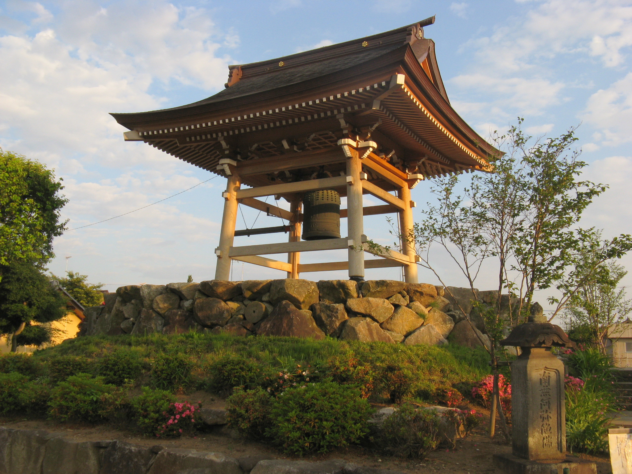
4792 Temple Gong
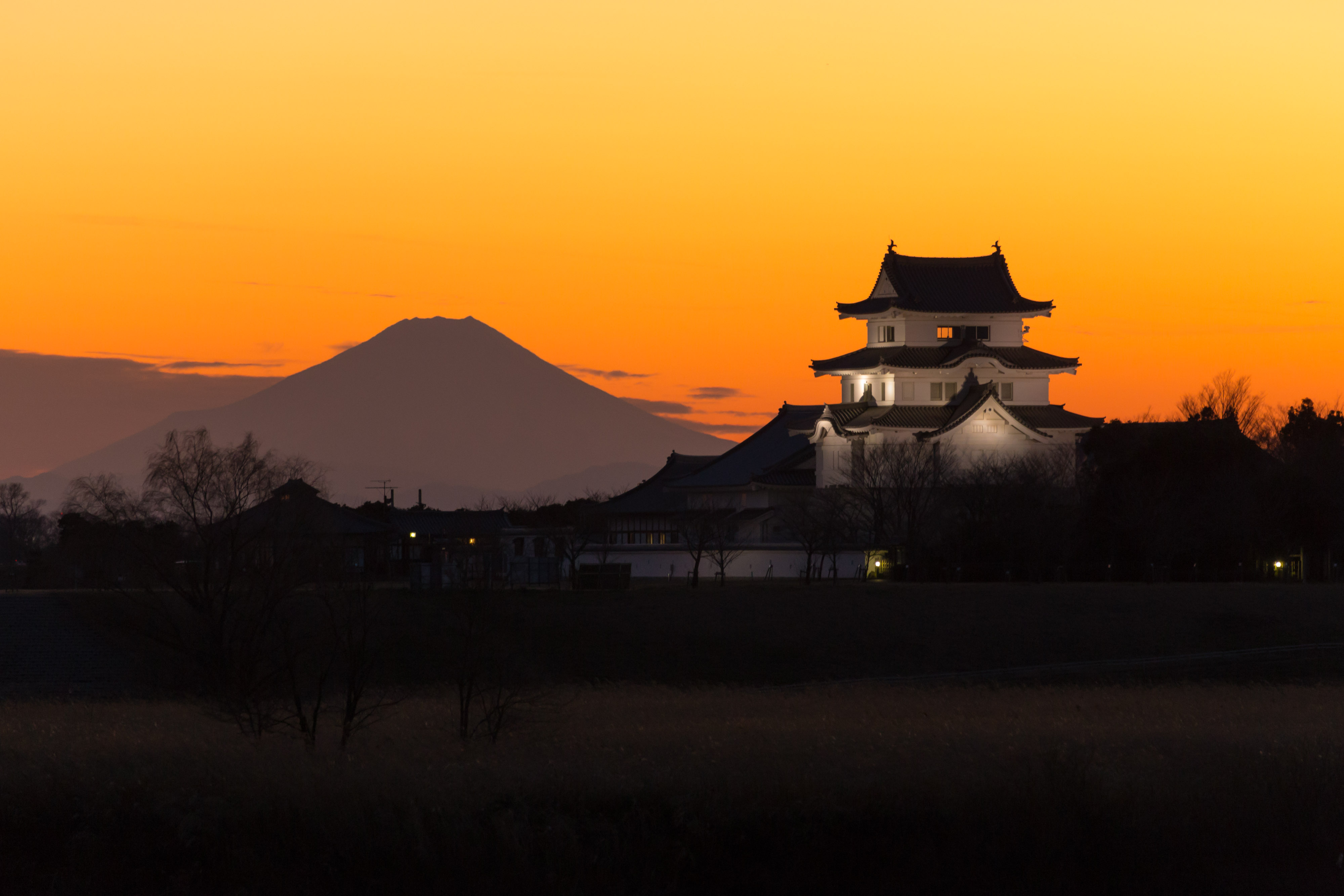
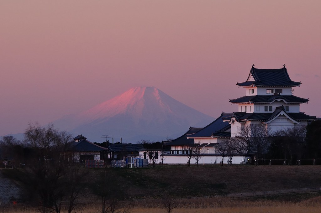
mt.fuji and sekiyado castle
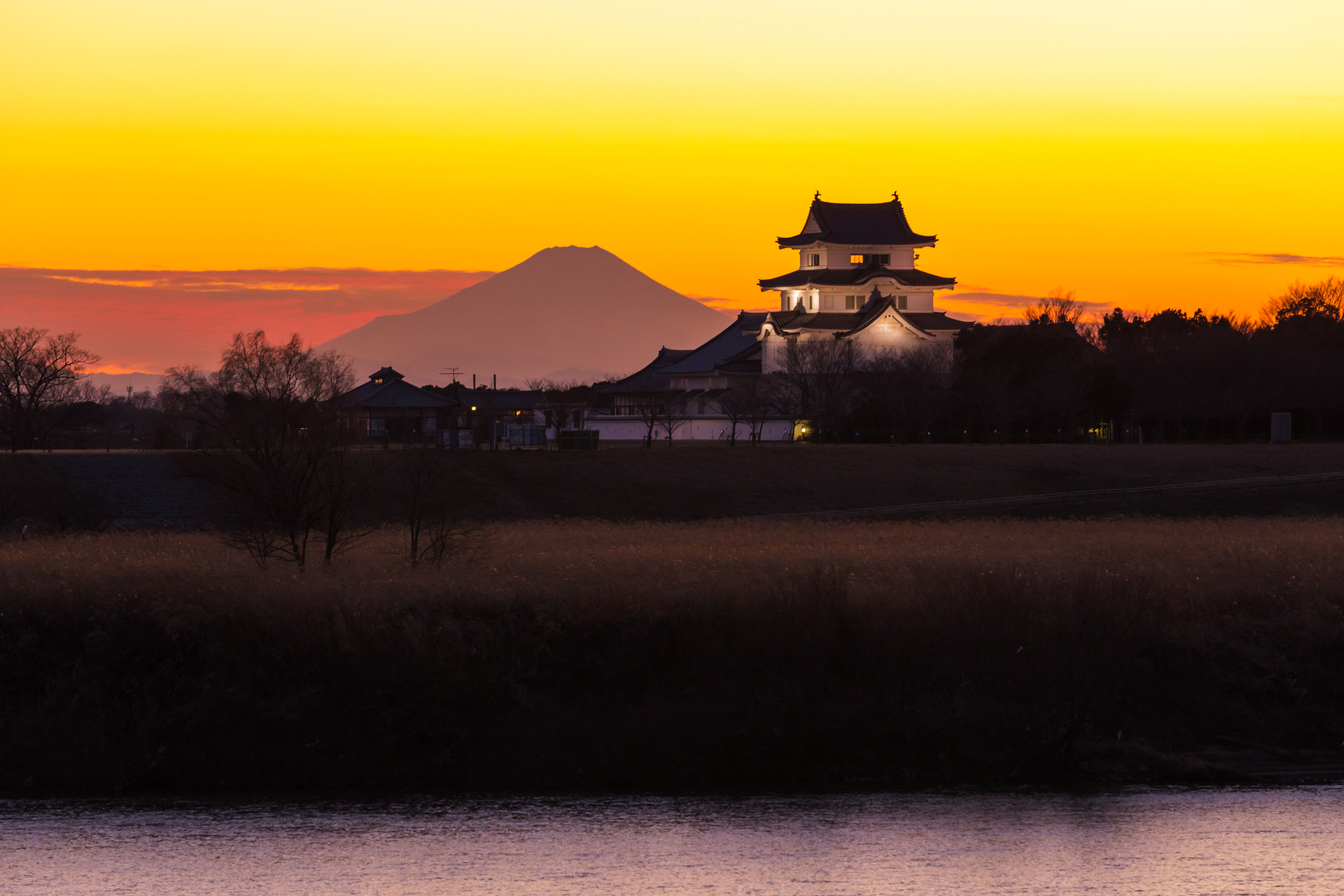
sekiyado castle at dusk

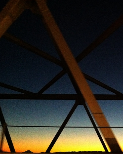
日の出と鉄塔 #steeltower
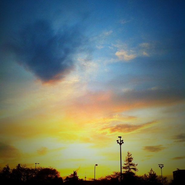
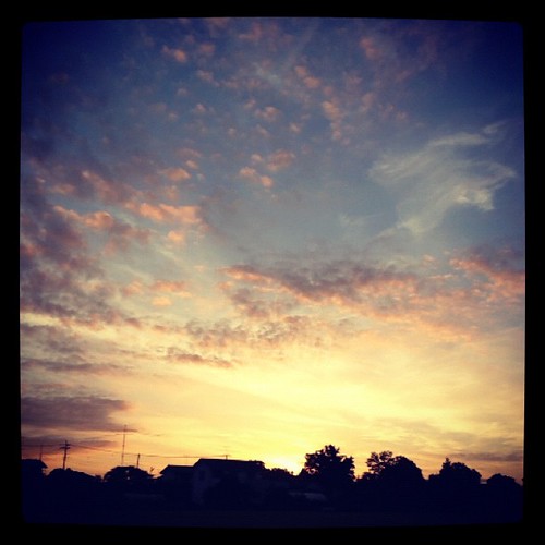
#sunset
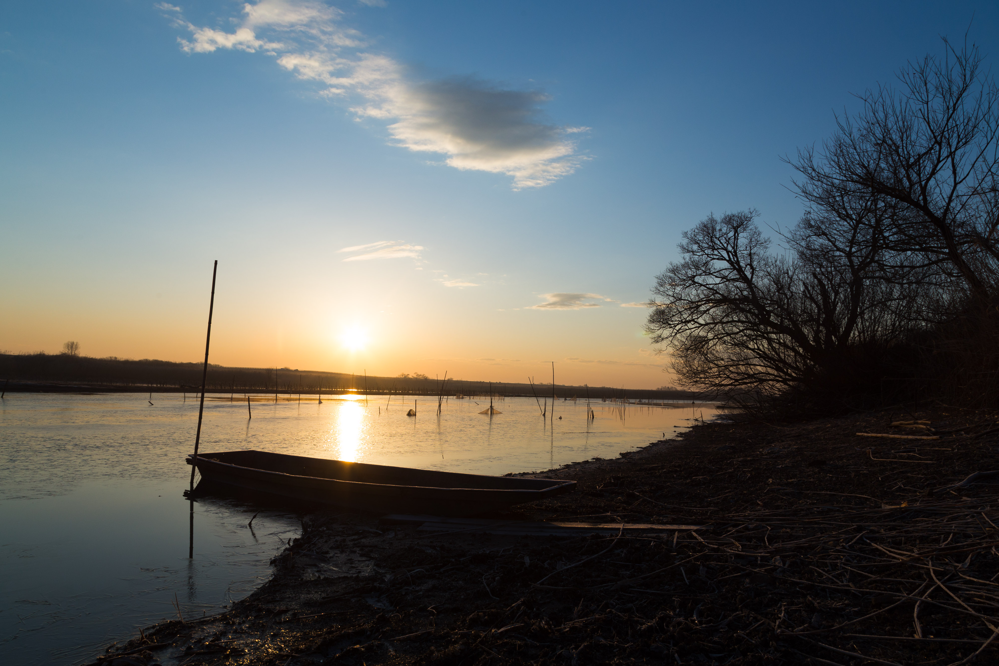
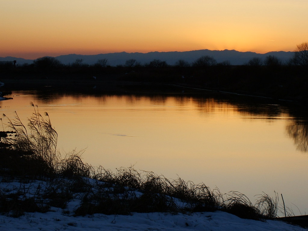
morning at watarase
Distant view of Beni Fuji Dec/28/2013 6:53
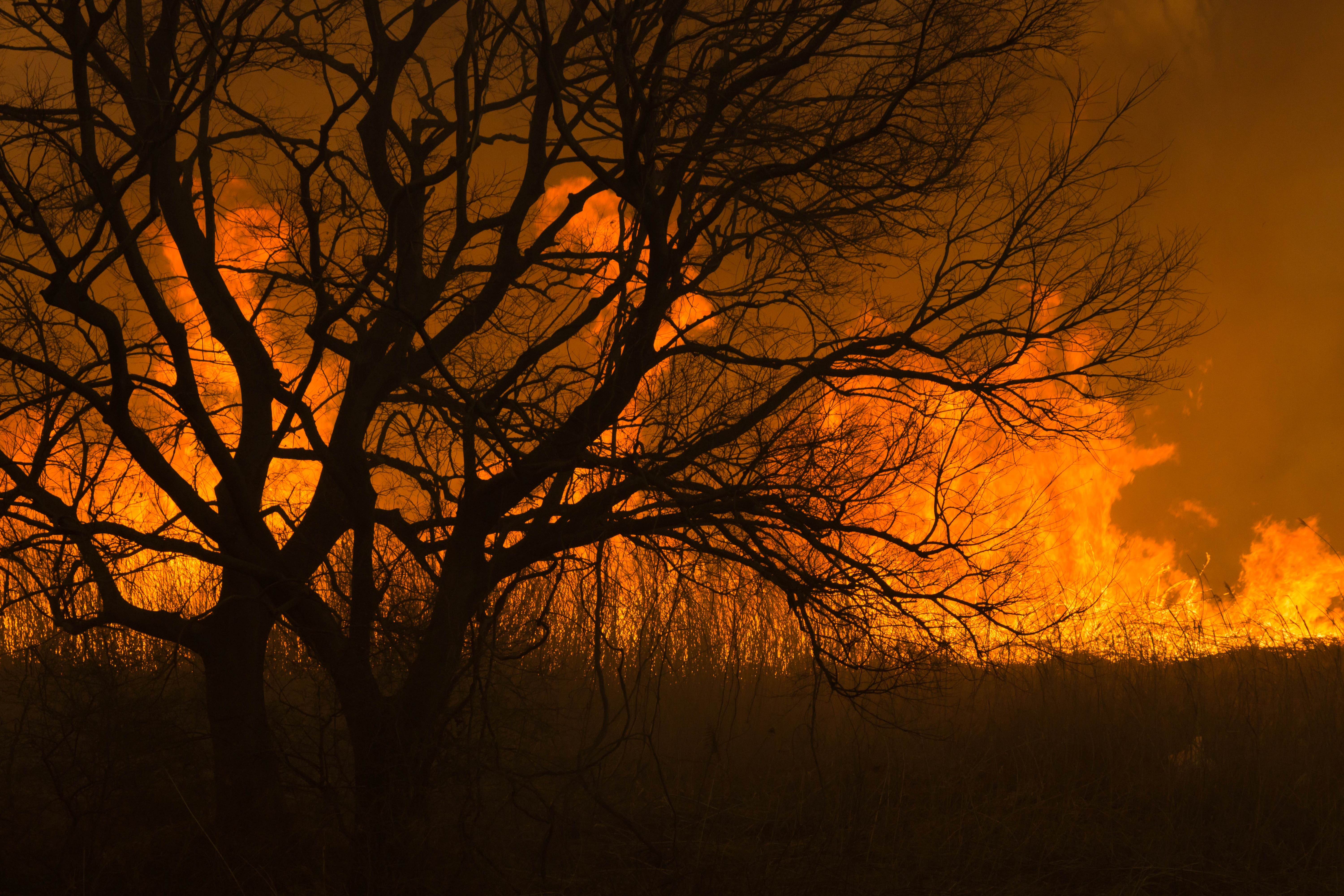
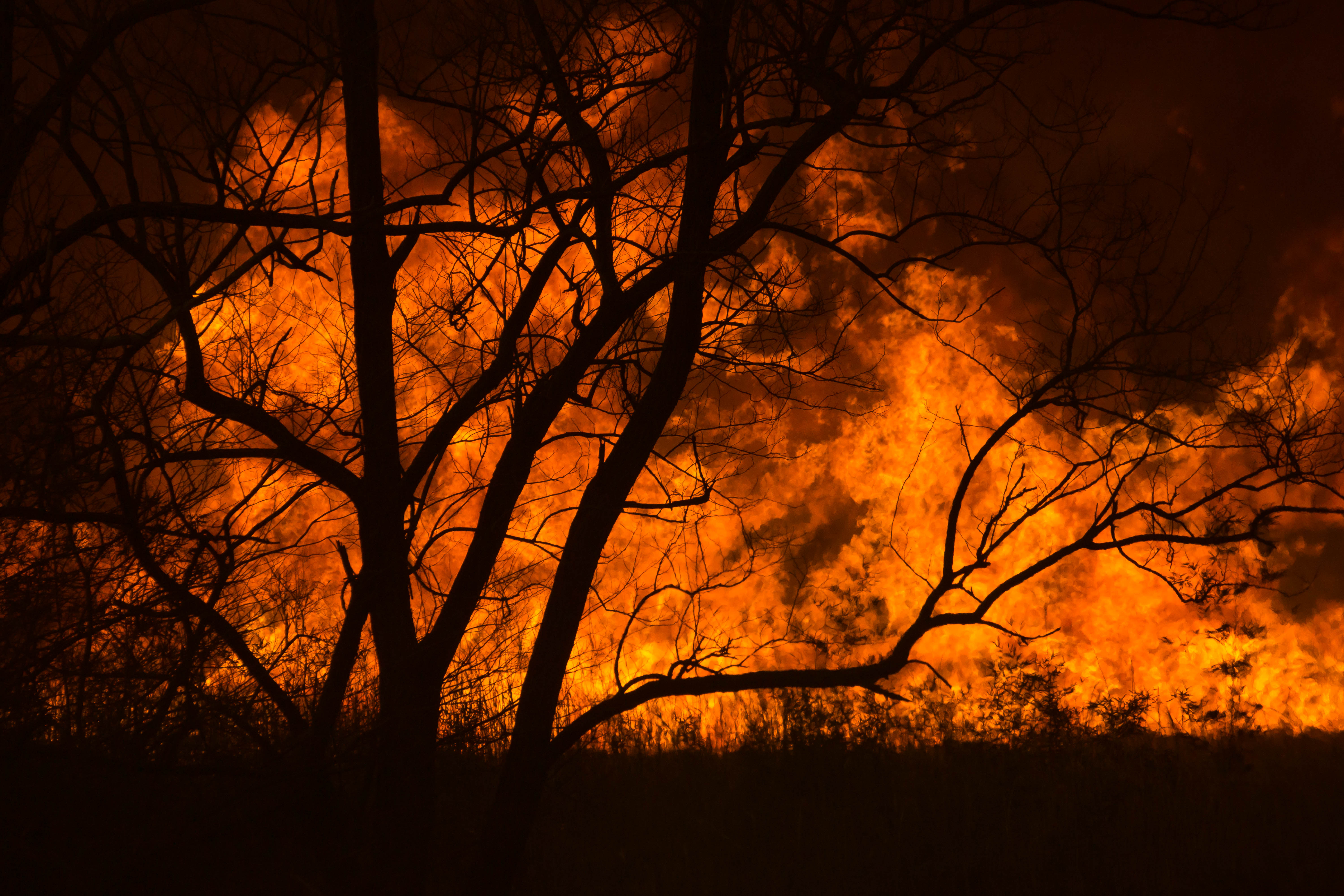
Reed burning in the Watarase anti-flood pond
DSC06800.jpg

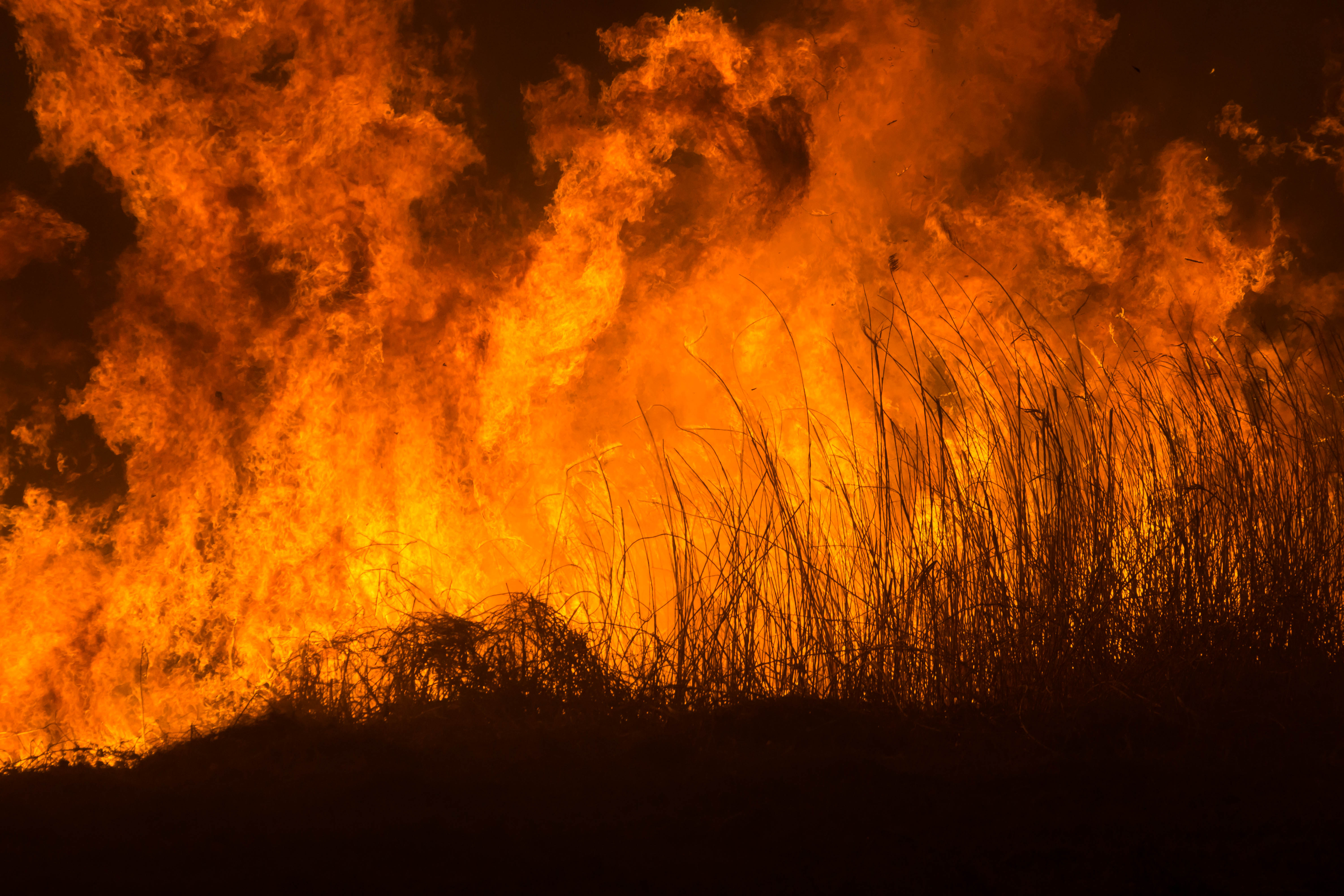
Reed burning in the Watarase anti-flood pond
Today's sunset
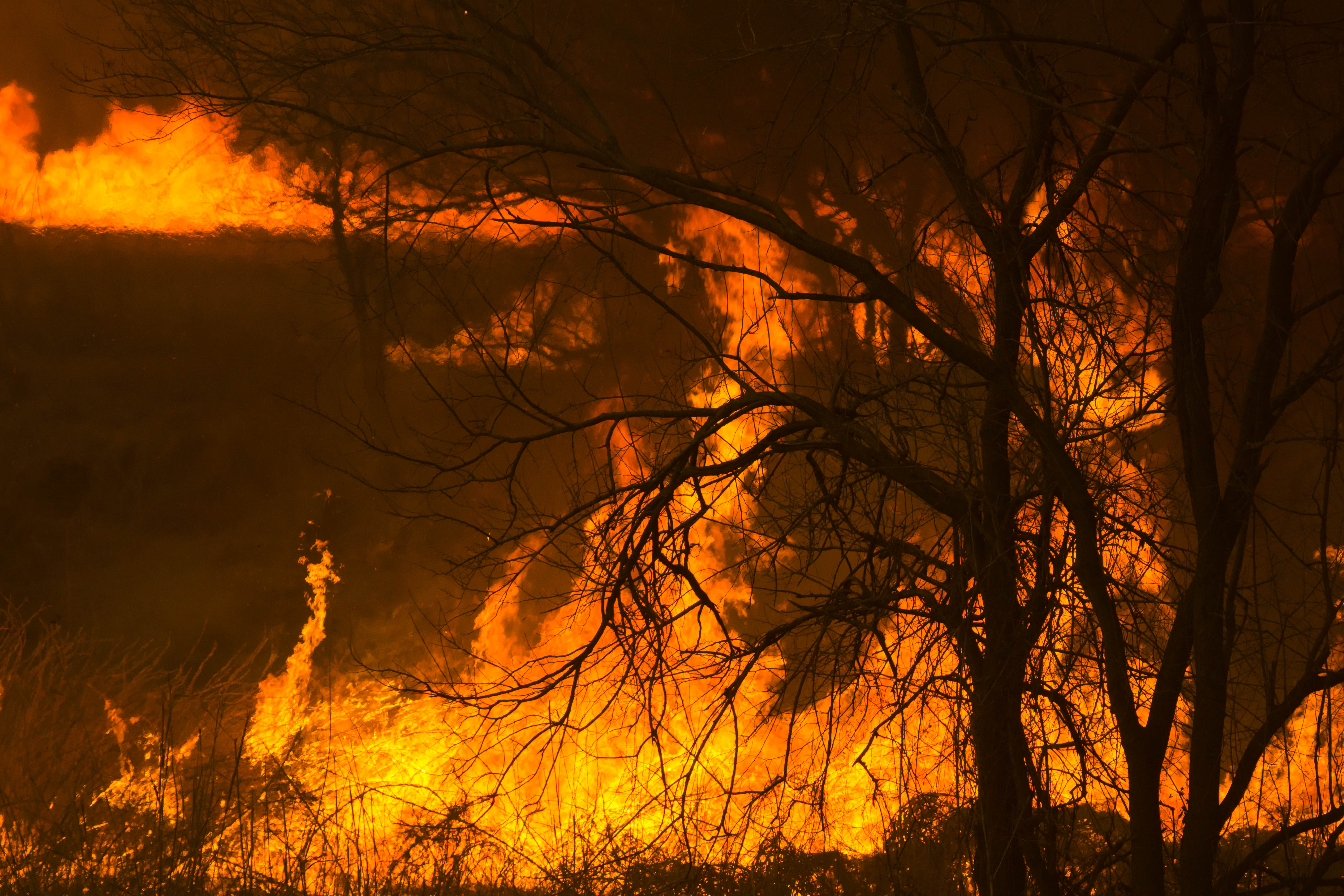
Reed burning in the Watarase anti-flood pond
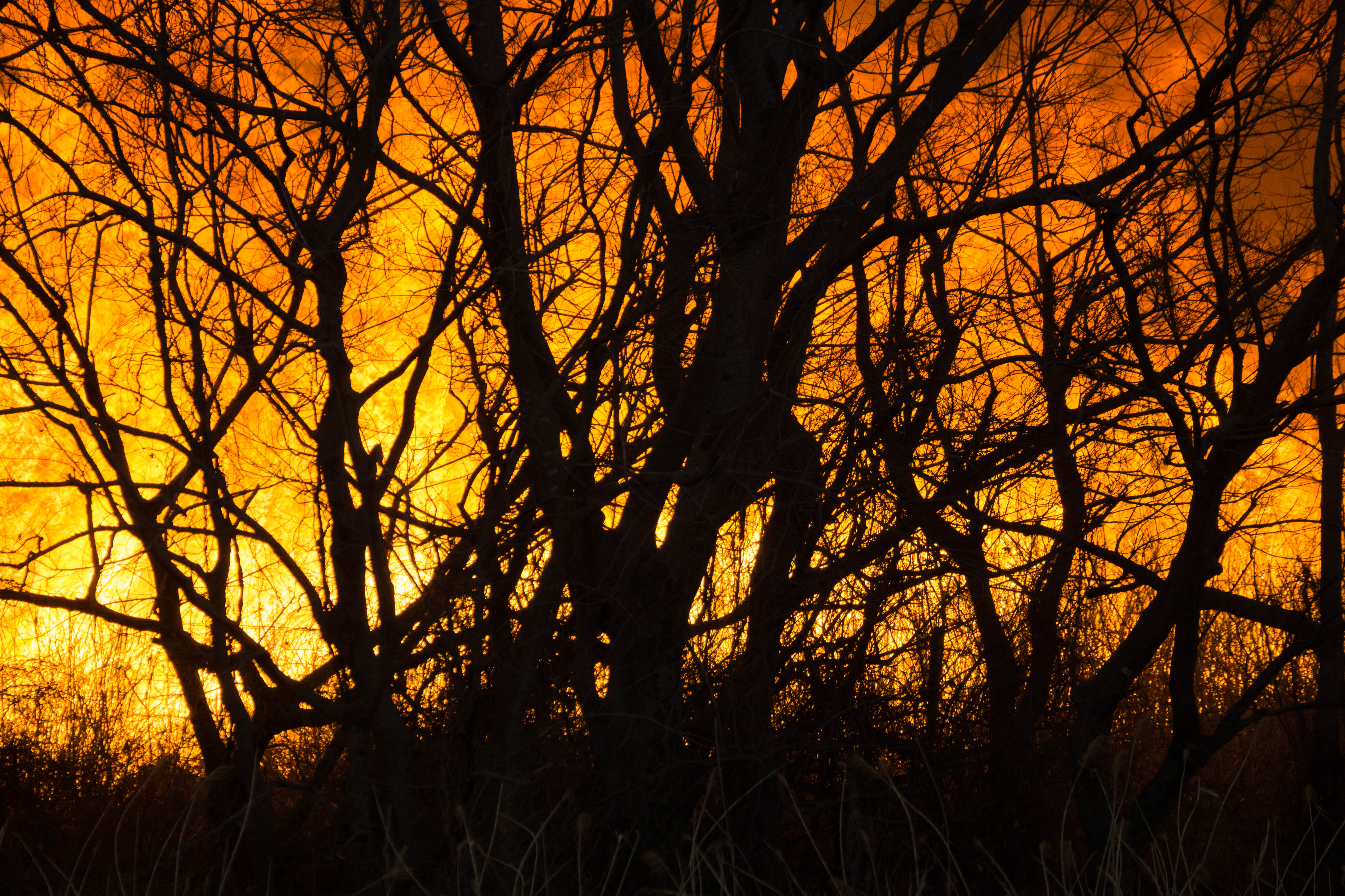
Reed burning in the Watarase anti-flood pond
Reed burning in the Watarase anti-flood pond

DSC06053.jpg

Reed burning in the Watarase anti-flood pond
Reed burning in the Watarase anti-flood pond
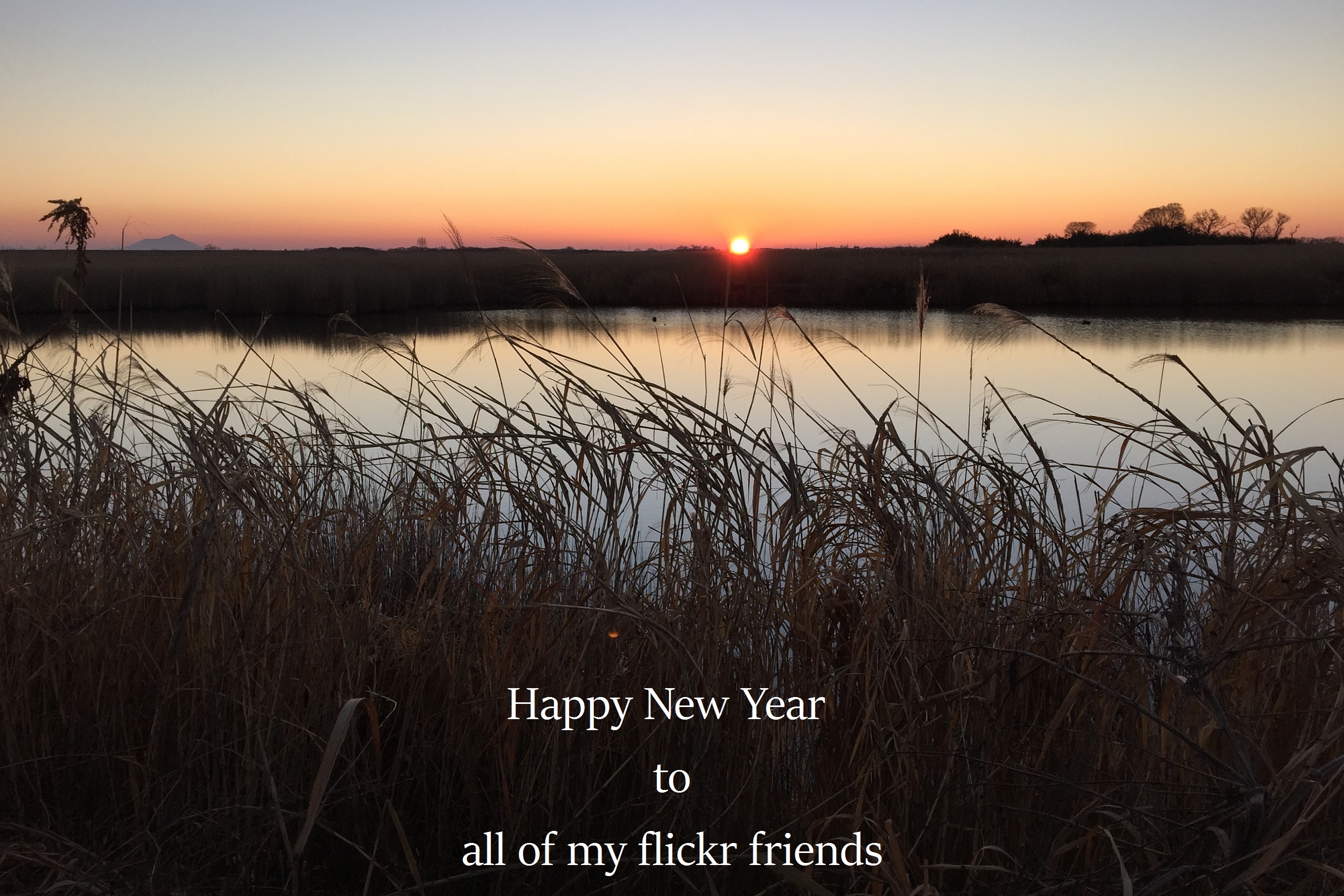
The first sunrise of the year 2016

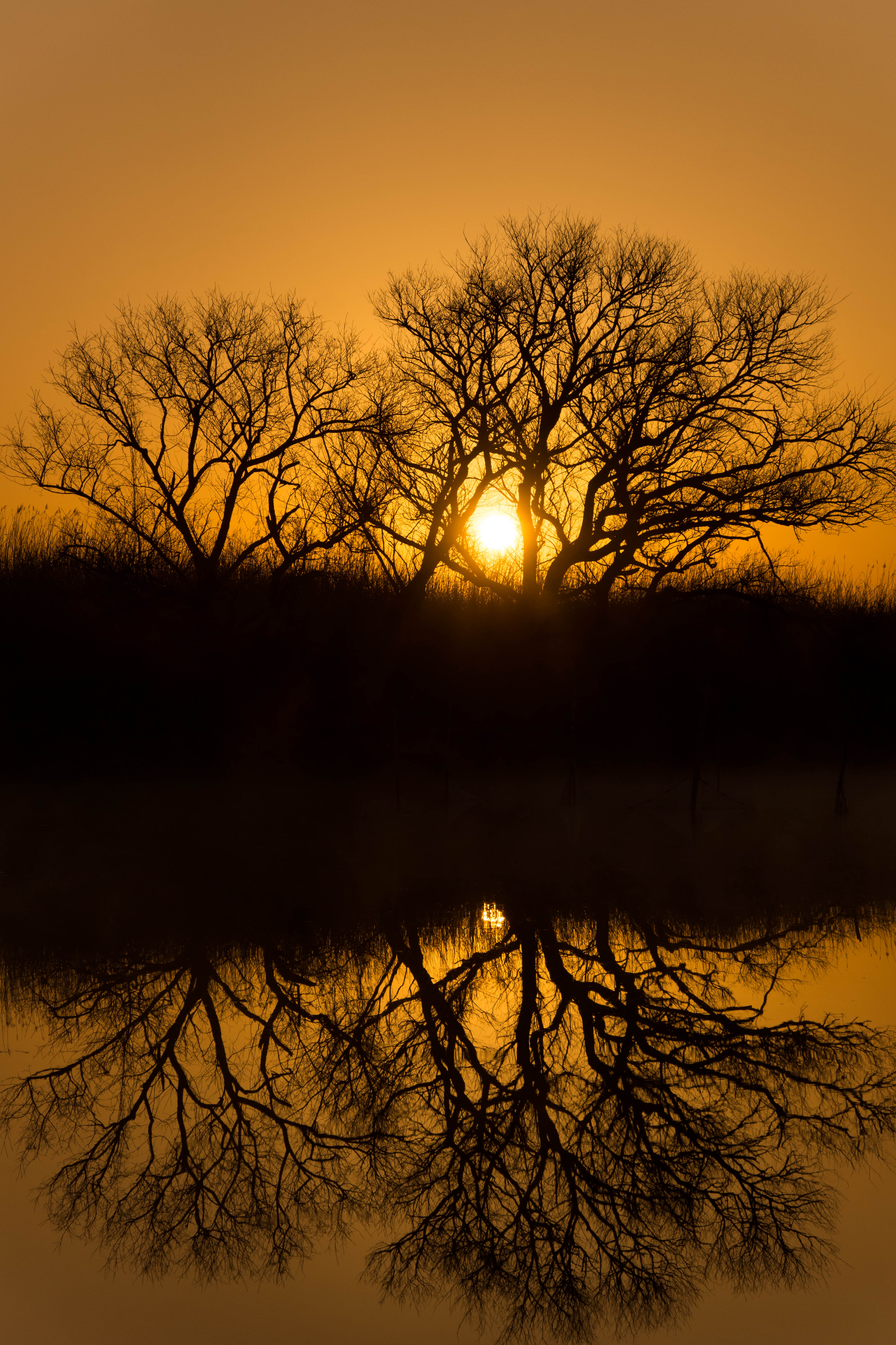
sunrise through reeds
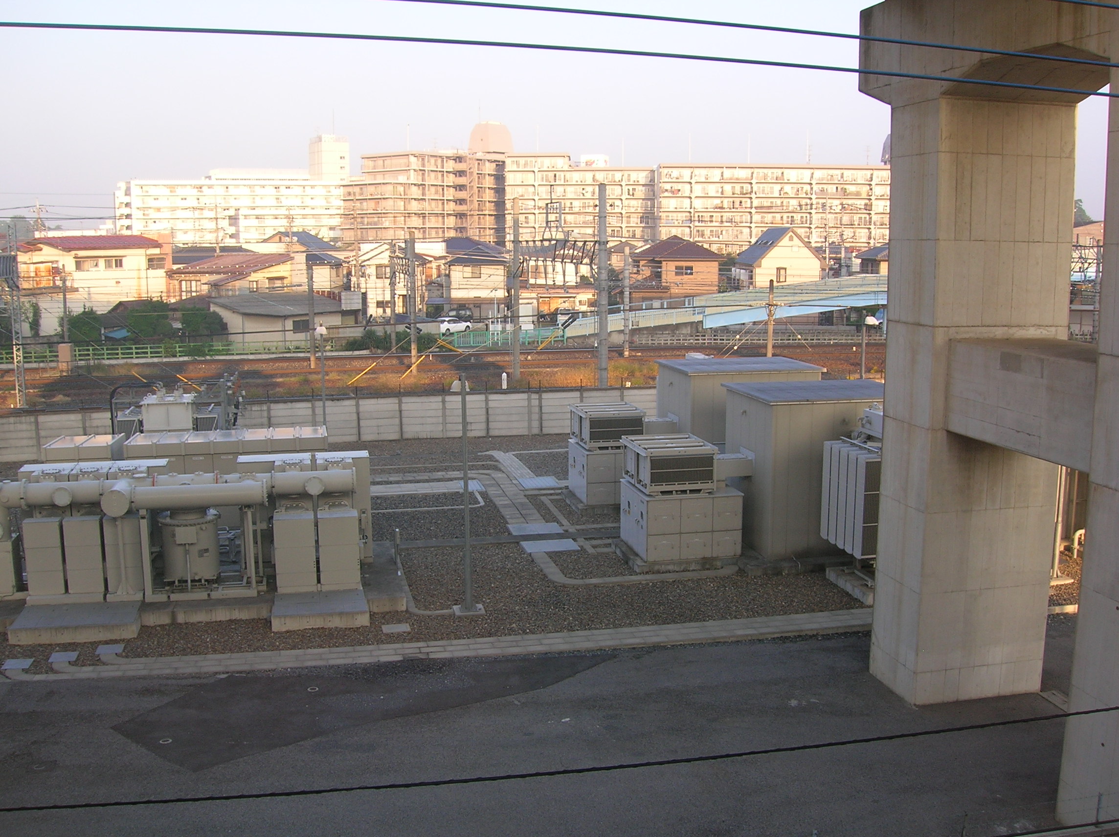
Sunrise on the cement apartment blocks
Kurihashi, Kuki, Saitama Prefecture -日本的地圖
搜索其他地方的日出日落時間
附近地點
Minamikurihashi, Kuki, Saitama -日本
1 Chome Midori, Kuki, Saitama -日本
1 Chome Kurihashichuo, Kuki, Saitama -日本
-7 Hatai, Kazo-shi, Saitama-ken -日本
Hatai, Kazo, Saitama -日本
日本茨城縣猿島郡五霞町
-9 Kofukuda, Goka-machi, Sashima-gun, Ibaraki-ken -日本
日本埼玉縣幸手市
-2 Noguki, Kuki-shi, Saitama-ken -日本
Shimohemi, Koga, Ibaraki -日本
Shimohemi, Koga, Ibaraki -日本下辺見酒場 こんちき
Shimohemi, Koga, Ibaraki -日本
2 Chome Kukikita, Kuki-shi, Saitama-ken -日本
Kukikita, Kuki, Saitama -日本
日本茨城縣古河市
1 Chome-1-2 Ōkuwa, Kazo-shi, Saitama-ken -日本
日本〒- 埼玉縣北葛飾郡杉戶町 Takanodaihigashi, 1 Chome杉戶高野台車站
日本〒- 埼玉縣北葛飾郡杉戶町 Takanodaihigashi, 1 Chome杉戸高野台駅
-8 Tsukazaki, Sakai-machi, Sashima-gun, Ibaraki-ken -日本
1 Chome Takanodaihigashi, Sugito, Kitakatsushika District, Saitama -日本
最近搜索
- Red Dog Mine, AK, USA的日出日落時間表
- Am bhf, Borken, 德國Am Bahnhof的日出日落時間表
- 4th St E, Sonoma, CA 美國的日出日落時間表
- Oakland Ave, Williamsport, PA 美國的日出日落時間表
- Via Roma, Pieranica CR, 義大利的日出日落時間表
- 克羅埃西亞杜布羅夫尼克 GradClock Tower of Dubrovnik的日出日落時間表
- 阿根廷丘布特省特雷利烏的日出日落時間表
- Hartfords Bluff Cir, Mt Pleasant, SC 美國的日出日落時間表
- 日本熊本縣熊本市北區的日出日落時間表
- 中國福州市平潭縣平潭島的日出日落時間表