美國俄亥俄州費耶特縣的日出日落時間表
Location: 美國 > 俄亥俄州 >
時區:
America/New_York
當地時間:
2025-06-22 20:41:43
經度:
-83.4643551
緯度:
39.5919809
今天日出時間:
06:07:11 AM
今天日落時間:
09:05:19 PM
今天日照時長:
14h 58m 8s
明天日出時間:
06:07:30 AM
明天日落時間:
09:05:26 PM
明天日照時長:
14h 57m 56s
顯示所有日期
| 日期 | 日出 | 日落 | 日照時長 |
|---|---|---|---|
| 2025年01月01日 | 07:54:31 AM | 05:21:26 PM | 9h 26m 55s |
| 2025年01月02日 | 07:54:35 AM | 05:22:17 PM | 9h 27m 42s |
| 2025年01月03日 | 07:54:36 AM | 05:23:10 PM | 9h 28m 34s |
| 2025年01月04日 | 07:54:36 AM | 05:24:04 PM | 9h 29m 28s |
| 2025年01月05日 | 07:54:33 AM | 05:25:00 PM | 9h 30m 27s |
| 2025年01月06日 | 07:54:28 AM | 05:25:57 PM | 9h 31m 29s |
| 2025年01月07日 | 07:54:21 AM | 05:26:55 PM | 9h 32m 34s |
| 2025年01月08日 | 07:54:11 AM | 05:27:54 PM | 9h 33m 43s |
| 2025年01月09日 | 07:54:00 AM | 05:28:54 PM | 9h 34m 54s |
| 2025年01月10日 | 07:53:46 AM | 05:29:55 PM | 9h 36m 9s |
| 2025年01月11日 | 07:53:30 AM | 05:30:57 PM | 9h 37m 27s |
| 2025年01月12日 | 07:53:12 AM | 05:32:00 PM | 9h 38m 48s |
| 2025年01月13日 | 07:52:52 AM | 05:33:04 PM | 9h 40m 12s |
| 2025年01月14日 | 07:52:30 AM | 05:34:09 PM | 9h 41m 39s |
| 2025年01月15日 | 07:52:05 AM | 05:35:15 PM | 9h 43m 10s |
| 2025年01月16日 | 07:51:39 AM | 05:36:21 PM | 9h 44m 42s |
| 2025年01月17日 | 07:51:10 AM | 05:37:28 PM | 9h 46m 18s |
| 2025年01月18日 | 07:50:39 AM | 05:38:35 PM | 9h 47m 56s |
| 2025年01月19日 | 07:50:07 AM | 05:39:43 PM | 9h 49m 36s |
| 2025年01月20日 | 07:49:32 AM | 05:40:52 PM | 9h 51m 20s |
| 2025年01月21日 | 07:48:55 AM | 05:42:01 PM | 9h 53m 6s |
| 2025年01月22日 | 07:48:17 AM | 05:43:10 PM | 9h 54m 53s |
| 2025年01月23日 | 07:47:36 AM | 05:44:20 PM | 9h 56m 44s |
| 2025年01月24日 | 07:46:54 AM | 05:45:30 PM | 9h 58m 36s |
| 2025年01月25日 | 07:46:09 AM | 05:46:40 PM | 10h 0m 31s |
| 2025年01月26日 | 07:45:23 AM | 05:47:51 PM | 10h 2m 28s |
| 2025年01月27日 | 07:44:35 AM | 05:49:02 PM | 10h 4m 27s |
| 2025年01月28日 | 07:43:45 AM | 05:50:13 PM | 10h 6m 28s |
| 2025年01月29日 | 07:42:54 AM | 05:51:24 PM | 10h 8m 30s |
| 2025年01月30日 | 07:42:00 AM | 05:52:35 PM | 10h 10m 35s |
| 2025年01月31日 | 07:41:05 AM | 05:53:46 PM | 10h 12m 41s |
| 2025年02月01日 | 07:40:09 AM | 05:54:57 PM | 10h 14m 48s |
| 2025年02月02日 | 07:39:10 AM | 05:56:09 PM | 10h 16m 59s |
| 2025年02月03日 | 07:38:11 AM | 05:57:20 PM | 10h 19m 9s |
| 2025年02月04日 | 07:37:09 AM | 05:58:31 PM | 10h 21m 22s |
| 2025年02月05日 | 07:36:06 AM | 05:59:42 PM | 10h 23m 36s |
| 2025年02月06日 | 07:35:02 AM | 06:00:53 PM | 10h 25m 51s |
| 2025年02月07日 | 07:33:56 AM | 06:02:04 PM | 10h 28m 8s |
| 2025年02月08日 | 07:32:49 AM | 06:03:15 PM | 10h 30m 26s |
| 2025年02月09日 | 07:31:40 AM | 06:04:25 PM | 10h 32m 45s |
| 2025年02月10日 | 07:30:30 AM | 06:05:35 PM | 10h 35m 5s |
| 2025年02月11日 | 07:29:19 AM | 06:06:46 PM | 10h 37m 27s |
| 2025年02月12日 | 07:28:06 AM | 06:07:55 PM | 10h 39m 49s |
| 2025年02月13日 | 07:26:52 AM | 06:09:05 PM | 10h 42m 13s |
| 2025年02月14日 | 07:25:37 AM | 06:10:15 PM | 10h 44m 38s |
| 2025年02月15日 | 07:24:21 AM | 06:11:24 PM | 10h 47m 3s |
| 2025年02月16日 | 07:23:04 AM | 06:12:33 PM | 10h 49m 29s |
| 2025年02月17日 | 07:21:45 AM | 06:13:41 PM | 10h 51m 56s |
| 2025年02月18日 | 07:20:25 AM | 06:14:49 PM | 10h 54m 24s |
| 2025年02月19日 | 07:19:05 AM | 06:15:57 PM | 10h 56m 52s |
| 2025年02月20日 | 07:17:43 AM | 06:17:05 PM | 10h 59m 22s |
| 2025年02月21日 | 07:16:21 AM | 06:18:13 PM | 11h 1m 52s |
| 2025年02月22日 | 07:14:57 AM | 06:19:20 PM | 11h 4m 23s |
| 2025年02月23日 | 07:13:33 AM | 06:20:26 PM | 11h 6m 53s |
| 2025年02月24日 | 07:12:08 AM | 06:21:33 PM | 11h 9m 25s |
| 2025年02月25日 | 07:10:42 AM | 06:22:39 PM | 11h 11m 57s |
| 2025年02月26日 | 07:09:15 AM | 06:23:45 PM | 11h 14m 30s |
| 2025年02月27日 | 07:07:47 AM | 06:24:51 PM | 11h 17m 4s |
| 2025年02月28日 | 07:06:19 AM | 06:25:56 PM | 11h 19m 37s |
| 2025年03月01日 | 07:04:50 AM | 06:27:01 PM | 11h 22m 11s |
| 2025年03月02日 | 07:03:20 AM | 06:28:05 PM | 11h 24m 45s |
| 2025年03月03日 | 07:01:50 AM | 06:29:10 PM | 11h 27m 20s |
| 2025年03月04日 | 07:00:19 AM | 06:30:14 PM | 11h 29m 55s |
| 2025年03月05日 | 06:58:47 AM | 06:31:18 PM | 11h 32m 31s |
| 2025年03月06日 | 06:57:15 AM | 06:32:21 PM | 11h 35m 6s |
| 2025年03月07日 | 06:55:42 AM | 06:33:25 PM | 11h 37m 43s |
| 2025年03月08日 | 06:54:09 AM | 06:34:28 PM | 11h 40m 19s |
| 2025年03月09日 | 07:52:40 AM | 07:35:28 PM | 11h 42m 48s |
| 2025年03月10日 | 07:51:06 AM | 07:36:30 PM | 11h 45m 24s |
| 2025年03月11日 | 07:49:32 AM | 07:37:33 PM | 11h 48m 1s |
| 2025年03月12日 | 07:47:57 AM | 07:38:35 PM | 11h 50m 38s |
| 2025年03月13日 | 07:46:22 AM | 07:39:36 PM | 11h 53m 14s |
| 2025年03月14日 | 07:44:47 AM | 07:40:38 PM | 11h 55m 51s |
| 2025年03月15日 | 07:43:12 AM | 07:41:40 PM | 11h 58m 28s |
| 2025年03月16日 | 07:41:36 AM | 07:42:41 PM | 12h 1m 5s |
| 2025年03月17日 | 07:40:00 AM | 07:43:42 PM | 12h 3m 42s |
| 2025年03月18日 | 07:38:24 AM | 07:44:43 PM | 12h 6m 19s |
| 2025年03月19日 | 07:36:48 AM | 07:45:44 PM | 12h 8m 56s |
| 2025年03月20日 | 07:35:12 AM | 07:46:44 PM | 12h 11m 32s |
| 2025年03月21日 | 07:33:36 AM | 07:47:45 PM | 12h 14m 9s |
| 2025年03月22日 | 07:31:59 AM | 07:48:45 PM | 12h 16m 46s |
| 2025年03月23日 | 07:30:23 AM | 07:49:45 PM | 12h 19m 22s |
| 2025年03月24日 | 07:28:47 AM | 07:50:45 PM | 12h 21m 58s |
| 2025年03月25日 | 07:27:10 AM | 07:51:46 PM | 12h 24m 36s |
| 2025年03月26日 | 07:25:34 AM | 07:52:45 PM | 12h 27m 11s |
| 2025年03月27日 | 07:23:58 AM | 07:53:45 PM | 12h 29m 47s |
| 2025年03月28日 | 07:22:22 AM | 07:54:45 PM | 12h 32m 23s |
| 2025年03月29日 | 07:20:46 AM | 07:55:45 PM | 12h 34m 59s |
| 2025年03月30日 | 07:19:11 AM | 07:56:45 PM | 12h 37m 34s |
| 2025年03月31日 | 07:17:35 AM | 07:57:44 PM | 12h 40m 9s |
| 2025年04月01日 | 07:16:00 AM | 07:58:44 PM | 12h 42m 44s |
| 2025年04月02日 | 07:14:26 AM | 07:59:44 PM | 12h 45m 18s |
| 2025年04月03日 | 07:12:51 AM | 08:00:43 PM | 12h 47m 52s |
| 2025年04月04日 | 07:11:17 AM | 08:01:43 PM | 12h 50m 26s |
| 2025年04月05日 | 07:09:43 AM | 08:02:42 PM | 12h 52m 59s |
| 2025年04月06日 | 07:08:10 AM | 08:03:42 PM | 12h 55m 32s |
| 2025年04月07日 | 07:06:37 AM | 08:04:42 PM | 12h 58m 5s |
| 2025年04月08日 | 07:05:05 AM | 08:05:41 PM | 13h 0m 36s |
| 2025年04月09日 | 07:03:33 AM | 08:06:41 PM | 13h 3m 8s |
| 2025年04月10日 | 07:02:02 AM | 08:07:41 PM | 13h 5m 39s |
| 2025年04月11日 | 07:00:31 AM | 08:08:40 PM | 13h 8m 9s |
| 2025年04月12日 | 06:59:01 AM | 08:09:40 PM | 13h 10m 39s |
| 2025年04月13日 | 06:57:31 AM | 08:10:40 PM | 13h 13m 9s |
| 2025年04月14日 | 06:56:02 AM | 08:11:40 PM | 13h 15m 38s |
| 2025年04月15日 | 06:54:34 AM | 08:12:39 PM | 13h 18m 5s |
| 2025年04月16日 | 06:53:07 AM | 08:13:39 PM | 13h 20m 32s |
| 2025年04月17日 | 06:51:40 AM | 08:14:39 PM | 13h 22m 59s |
| 2025年04月18日 | 06:50:14 AM | 08:15:39 PM | 13h 25m 25s |
| 2025年04月19日 | 06:48:49 AM | 08:16:39 PM | 13h 27m 50s |
| 2025年04月20日 | 06:47:25 AM | 08:17:39 PM | 13h 30m 14s |
| 2025年04月21日 | 06:46:02 AM | 08:18:39 PM | 13h 32m 37s |
| 2025年04月22日 | 06:44:39 AM | 08:19:39 PM | 13h 35m 0s |
| 2025年04月23日 | 06:43:18 AM | 08:20:38 PM | 13h 37m 20s |
| 2025年04月24日 | 06:41:57 AM | 08:21:38 PM | 13h 39m 41s |
| 2025年04月25日 | 06:40:37 AM | 08:22:38 PM | 13h 42m 1s |
| 2025年04月26日 | 06:39:19 AM | 08:23:38 PM | 13h 44m 19s |
| 2025年04月27日 | 06:38:01 AM | 08:24:38 PM | 13h 46m 37s |
| 2025年04月28日 | 06:36:45 AM | 08:25:37 PM | 13h 48m 52s |
| 2025年04月29日 | 06:35:30 AM | 08:26:37 PM | 13h 51m 7s |
| 2025年04月30日 | 06:34:16 AM | 08:27:37 PM | 13h 53m 21s |
| 2025年05月01日 | 06:33:03 AM | 08:28:36 PM | 13h 55m 33s |
| 2025年05月02日 | 06:31:51 AM | 08:29:35 PM | 13h 57m 44s |
| 2025年05月03日 | 06:30:41 AM | 08:30:34 PM | 13h 59m 53s |
| 2025年05月04日 | 06:29:32 AM | 08:31:33 PM | 14h 2m 1s |
| 2025年05月05日 | 06:28:24 AM | 08:32:32 PM | 14h 4m 8s |
| 2025年05月06日 | 06:27:17 AM | 08:33:31 PM | 14h 6m 14s |
| 2025年05月07日 | 06:26:12 AM | 08:34:29 PM | 14h 8m 17s |
| 2025年05月08日 | 06:25:08 AM | 08:35:27 PM | 14h 10m 19s |
| 2025年05月09日 | 06:24:06 AM | 08:36:25 PM | 14h 12m 19s |
| 2025年05月10日 | 06:23:05 AM | 08:37:23 PM | 14h 14m 18s |
| 2025年05月11日 | 06:22:06 AM | 08:38:20 PM | 14h 16m 14s |
| 2025年05月12日 | 06:21:08 AM | 08:39:17 PM | 14h 18m 9s |
| 2025年05月13日 | 06:20:12 AM | 08:40:13 PM | 14h 20m 1s |
| 2025年05月14日 | 06:19:17 AM | 08:41:09 PM | 14h 21m 52s |
| 2025年05月15日 | 06:18:24 AM | 08:42:04 PM | 14h 23m 40s |
| 2025年05月16日 | 06:17:32 AM | 08:42:59 PM | 14h 25m 27s |
| 2025年05月17日 | 06:16:43 AM | 08:43:54 PM | 14h 27m 11s |
| 2025年05月18日 | 06:15:54 AM | 08:44:48 PM | 14h 28m 54s |
| 2025年05月19日 | 06:15:08 AM | 08:45:41 PM | 14h 30m 33s |
| 2025年05月20日 | 06:14:23 AM | 08:46:34 PM | 14h 32m 11s |
| 2025年05月21日 | 06:13:40 AM | 08:47:26 PM | 14h 33m 46s |
| 2025年05月22日 | 06:12:59 AM | 08:48:17 PM | 14h 35m 18s |
| 2025年05月23日 | 06:12:19 AM | 08:49:08 PM | 14h 36m 49s |
| 2025年05月24日 | 06:11:41 AM | 08:49:57 PM | 14h 38m 16s |
| 2025年05月25日 | 06:11:05 AM | 08:50:46 PM | 14h 39m 41s |
| 2025年05月26日 | 06:10:31 AM | 08:51:34 PM | 14h 41m 3s |
| 2025年05月27日 | 06:09:59 AM | 08:52:21 PM | 14h 42m 22s |
| 2025年05月28日 | 06:09:28 AM | 08:53:07 PM | 14h 43m 39s |
| 2025年05月29日 | 06:09:00 AM | 08:53:53 PM | 14h 44m 53s |
| 2025年05月30日 | 06:08:33 AM | 08:54:37 PM | 14h 46m 4s |
| 2025年05月31日 | 06:08:08 AM | 08:55:20 PM | 14h 47m 12s |
| 2025年06月01日 | 06:07:46 AM | 08:56:02 PM | 14h 48m 16s |
| 2025年06月02日 | 06:07:25 AM | 08:56:42 PM | 14h 49m 17s |
| 2025年06月03日 | 06:07:06 AM | 08:57:22 PM | 14h 50m 16s |
| 2025年06月04日 | 06:06:48 AM | 08:58:00 PM | 14h 51m 12s |
| 2025年06月05日 | 06:06:33 AM | 08:58:37 PM | 14h 52m 4s |
| 2025年06月06日 | 06:06:20 AM | 08:59:13 PM | 14h 52m 53s |
| 2025年06月07日 | 06:06:08 AM | 08:59:47 PM | 14h 53m 39s |
| 2025年06月08日 | 06:05:59 AM | 09:00:20 PM | 14h 54m 21s |
| 2025年06月09日 | 06:05:51 AM | 09:00:52 PM | 14h 55m 1s |
| 2025年06月10日 | 06:05:46 AM | 09:01:22 PM | 14h 55m 36s |
| 2025年06月11日 | 06:05:42 AM | 09:01:50 PM | 14h 56m 8s |
| 2025年06月12日 | 06:05:40 AM | 09:02:17 PM | 14h 56m 37s |
| 2025年06月13日 | 06:05:40 AM | 09:02:43 PM | 14h 57m 3s |
| 2025年06月14日 | 06:05:42 AM | 09:03:06 PM | 14h 57m 24s |
| 2025年06月15日 | 06:05:46 AM | 09:03:28 PM | 14h 57m 42s |
| 2025年06月16日 | 06:05:51 AM | 09:03:49 PM | 14h 57m 58s |
| 2025年06月17日 | 06:05:59 AM | 09:04:08 PM | 14h 58m 9s |
| 2025年06月18日 | 06:06:08 AM | 09:04:25 PM | 14h 58m 17s |
| 2025年06月19日 | 06:06:19 AM | 09:04:40 PM | 14h 58m 21s |
| 2025年06月20日 | 06:06:32 AM | 09:04:53 PM | 14h 58m 21s |
| 2025年06月21日 | 06:06:46 AM | 09:05:05 PM | 14h 58m 19s |
| 2025年06月22日 | 06:07:02 AM | 09:05:15 PM | 14h 58m 13s |
| 2025年06月23日 | 06:07:20 AM | 09:05:23 PM | 14h 58m 3s |
| 2025年06月24日 | 06:07:39 AM | 09:05:29 PM | 14h 57m 50s |
| 2025年06月25日 | 06:08:01 AM | 09:05:33 PM | 14h 57m 32s |
| 2025年06月26日 | 06:08:23 AM | 09:05:35 PM | 14h 57m 12s |
| 2025年06月27日 | 06:08:47 AM | 09:05:35 PM | 14h 56m 48s |
| 2025年06月28日 | 06:09:13 AM | 09:05:34 PM | 14h 56m 21s |
| 2025年06月29日 | 06:09:41 AM | 09:05:30 PM | 14h 55m 49s |
| 2025年06月30日 | 06:10:09 AM | 09:05:25 PM | 14h 55m 16s |
| 2025年07月01日 | 06:10:39 AM | 09:05:17 PM | 14h 54m 38s |
| 2025年07月02日 | 06:11:11 AM | 09:05:08 PM | 14h 53m 57s |
| 2025年07月03日 | 06:11:44 AM | 09:04:57 PM | 14h 53m 13s |
| 2025年07月04日 | 06:12:18 AM | 09:04:43 PM | 14h 52m 25s |
| 2025年07月05日 | 06:12:53 AM | 09:04:28 PM | 14h 51m 35s |
| 2025年07月06日 | 06:13:30 AM | 09:04:11 PM | 14h 50m 41s |
| 2025年07月07日 | 06:14:08 AM | 09:03:52 PM | 14h 49m 44s |
| 2025年07月08日 | 06:14:47 AM | 09:03:31 PM | 14h 48m 44s |
| 2025年07月09日 | 06:15:27 AM | 09:03:08 PM | 14h 47m 41s |
| 2025年07月10日 | 06:16:08 AM | 09:02:43 PM | 14h 46m 35s |
| 2025年07月11日 | 06:16:50 AM | 09:02:16 PM | 14h 45m 26s |
| 2025年07月12日 | 06:17:33 AM | 09:01:47 PM | 14h 44m 14s |
| 2025年07月13日 | 06:18:17 AM | 09:01:16 PM | 14h 42m 59s |
| 2025年07月14日 | 06:19:02 AM | 09:00:43 PM | 14h 41m 41s |
| 2025年07月15日 | 06:19:48 AM | 09:00:09 PM | 14h 40m 21s |
| 2025年07月16日 | 06:20:35 AM | 08:59:33 PM | 14h 38m 58s |
| 2025年07月17日 | 06:21:22 AM | 08:58:54 PM | 14h 37m 32s |
| 2025年07月18日 | 06:22:10 AM | 08:58:14 PM | 14h 36m 4s |
| 2025年07月19日 | 06:22:59 AM | 08:57:32 PM | 14h 34m 33s |
| 2025年07月20日 | 06:23:49 AM | 08:56:49 PM | 14h 33m 0s |
| 2025年07月21日 | 06:24:39 AM | 08:56:03 PM | 14h 31m 24s |
| 2025年07月22日 | 06:25:29 AM | 08:55:16 PM | 14h 29m 47s |
| 2025年07月23日 | 06:26:21 AM | 08:54:28 PM | 14h 28m 7s |
| 2025年07月24日 | 06:27:12 AM | 08:53:37 PM | 14h 26m 25s |
| 2025年07月25日 | 06:28:05 AM | 08:52:45 PM | 14h 24m 40s |
| 2025年07月26日 | 06:28:57 AM | 08:51:51 PM | 14h 22m 54s |
| 2025年07月27日 | 06:29:50 AM | 08:50:55 PM | 14h 21m 5s |
| 2025年07月28日 | 06:30:44 AM | 08:49:58 PM | 14h 19m 14s |
| 2025年07月29日 | 06:31:38 AM | 08:49:00 PM | 14h 17m 22s |
| 2025年07月30日 | 06:32:32 AM | 08:48:00 PM | 14h 15m 28s |
| 2025年07月31日 | 06:33:26 AM | 08:46:58 PM | 14h 13m 32s |
| 2025年08月01日 | 06:34:21 AM | 08:45:55 PM | 14h 11m 34s |
| 2025年08月02日 | 06:35:16 AM | 08:44:50 PM | 14h 9m 34s |
| 2025年08月03日 | 06:36:11 AM | 08:43:44 PM | 14h 7m 33s |
| 2025年08月04日 | 06:37:06 AM | 08:42:37 PM | 14h 5m 31s |
| 2025年08月05日 | 06:38:02 AM | 08:41:28 PM | 14h 3m 26s |
| 2025年08月06日 | 06:38:57 AM | 08:40:18 PM | 14h 1m 21s |
| 2025年08月07日 | 06:39:53 AM | 08:39:07 PM | 13h 59m 14s |
| 2025年08月08日 | 06:40:49 AM | 08:37:54 PM | 13h 57m 5s |
| 2025年08月09日 | 06:41:45 AM | 08:36:40 PM | 13h 54m 55s |
| 2025年08月10日 | 06:42:41 AM | 08:35:25 PM | 13h 52m 44s |
| 2025年08月11日 | 06:43:37 AM | 08:34:09 PM | 13h 50m 32s |
| 2025年08月12日 | 06:44:33 AM | 08:32:51 PM | 13h 48m 18s |
| 2025年08月13日 | 06:45:29 AM | 08:31:33 PM | 13h 46m 4s |
| 2025年08月14日 | 06:46:25 AM | 08:30:13 PM | 13h 43m 48s |
| 2025年08月15日 | 06:47:22 AM | 08:28:52 PM | 13h 41m 30s |
| 2025年08月16日 | 06:48:18 AM | 08:27:30 PM | 13h 39m 12s |
| 2025年08月17日 | 06:49:14 AM | 08:26:08 PM | 13h 36m 54s |
| 2025年08月18日 | 06:50:10 AM | 08:24:44 PM | 13h 34m 34s |
| 2025年08月19日 | 06:51:06 AM | 08:23:19 PM | 13h 32m 13s |
| 2025年08月20日 | 06:52:02 AM | 08:21:54 PM | 13h 29m 52s |
| 2025年08月21日 | 06:52:58 AM | 08:20:27 PM | 13h 27m 29s |
| 2025年08月22日 | 06:53:54 AM | 08:19:00 PM | 13h 25m 6s |
| 2025年08月23日 | 06:54:50 AM | 08:17:32 PM | 13h 22m 42s |
| 2025年08月24日 | 06:55:46 AM | 08:16:03 PM | 13h 20m 17s |
| 2025年08月25日 | 06:56:41 AM | 08:14:34 PM | 13h 17m 53s |
| 2025年08月26日 | 06:57:37 AM | 08:13:03 PM | 13h 15m 26s |
| 2025年08月27日 | 06:58:33 AM | 08:11:33 PM | 13h 13m 0s |
| 2025年08月28日 | 06:59:28 AM | 08:10:01 PM | 13h 10m 33s |
| 2025年08月29日 | 07:00:24 AM | 08:08:29 PM | 13h 8m 5s |
| 2025年08月30日 | 07:01:19 AM | 08:06:56 PM | 13h 5m 37s |
| 2025年08月31日 | 07:02:15 AM | 08:05:22 PM | 13h 3m 7s |
| 2025年09月01日 | 07:03:10 AM | 08:03:48 PM | 13h 0m 38s |
| 2025年09月02日 | 07:04:05 AM | 08:02:14 PM | 12h 58m 9s |
| 2025年09月03日 | 07:05:01 AM | 08:00:39 PM | 12h 55m 38s |
| 2025年09月04日 | 07:05:56 AM | 07:59:04 PM | 12h 53m 8s |
| 2025年09月05日 | 07:06:51 AM | 07:57:28 PM | 12h 50m 37s |
| 2025年09月06日 | 07:07:46 AM | 07:55:52 PM | 12h 48m 6s |
| 2025年09月07日 | 07:08:41 AM | 07:54:15 PM | 12h 45m 34s |
| 2025年09月08日 | 07:09:37 AM | 07:52:38 PM | 12h 43m 1s |
| 2025年09月09日 | 07:10:32 AM | 07:51:01 PM | 12h 40m 29s |
| 2025年09月10日 | 07:11:27 AM | 07:49:24 PM | 12h 37m 57s |
| 2025年09月11日 | 07:12:22 AM | 07:47:46 PM | 12h 35m 24s |
| 2025年09月12日 | 07:13:18 AM | 07:46:08 PM | 12h 32m 50s |
| 2025年09月13日 | 07:14:13 AM | 07:44:30 PM | 12h 30m 17s |
| 2025年09月14日 | 07:15:08 AM | 07:42:52 PM | 12h 27m 44s |
| 2025年09月15日 | 07:16:04 AM | 07:41:14 PM | 12h 25m 10s |
| 2025年09月16日 | 07:16:59 AM | 07:39:35 PM | 12h 22m 36s |
| 2025年09月17日 | 07:17:55 AM | 07:37:57 PM | 12h 20m 2s |
| 2025年09月18日 | 07:18:50 AM | 07:36:18 PM | 12h 17m 28s |
| 2025年09月19日 | 07:19:46 AM | 07:34:40 PM | 12h 14m 54s |
| 2025年09月20日 | 07:20:42 AM | 07:33:01 PM | 12h 12m 19s |
| 2025年09月21日 | 07:21:38 AM | 07:31:23 PM | 12h 9m 45s |
| 2025年09月22日 | 07:22:34 AM | 07:29:45 PM | 12h 7m 11s |
| 2025年09月23日 | 07:23:31 AM | 07:28:07 PM | 12h 4m 36s |
| 2025年09月24日 | 07:24:27 AM | 07:26:28 PM | 12h 2m 1s |
| 2025年09月25日 | 07:25:24 AM | 07:24:51 PM | 11h 59m 27s |
| 2025年09月26日 | 07:26:20 AM | 07:23:13 PM | 11h 56m 53s |
| 2025年09月27日 | 07:27:17 AM | 07:21:36 PM | 11h 54m 19s |
| 2025年09月28日 | 07:28:15 AM | 07:19:58 PM | 11h 51m 43s |
| 2025年09月29日 | 07:29:12 AM | 07:18:21 PM | 11h 49m 9s |
| 2025年09月30日 | 07:30:10 AM | 07:16:45 PM | 11h 46m 35s |
| 2025年10月01日 | 07:31:08 AM | 07:15:09 PM | 11h 44m 1s |
| 2025年10月02日 | 07:32:06 AM | 07:13:33 PM | 11h 41m 27s |
| 2025年10月03日 | 07:33:04 AM | 07:11:58 PM | 11h 38m 54s |
| 2025年10月04日 | 07:34:03 AM | 07:10:23 PM | 11h 36m 20s |
| 2025年10月05日 | 07:35:02 AM | 07:08:48 PM | 11h 33m 46s |
| 2025年10月06日 | 07:36:01 AM | 07:07:14 PM | 11h 31m 13s |
| 2025年10月07日 | 07:37:01 AM | 07:05:41 PM | 11h 28m 40s |
| 2025年10月08日 | 07:38:00 AM | 07:04:08 PM | 11h 26m 8s |
| 2025年10月09日 | 07:39:00 AM | 07:02:36 PM | 11h 23m 36s |
| 2025年10月10日 | 07:40:01 AM | 07:01:04 PM | 11h 21m 3s |
| 2025年10月11日 | 07:41:02 AM | 06:59:33 PM | 11h 18m 31s |
| 2025年10月12日 | 07:42:03 AM | 06:58:03 PM | 11h 16m 0s |
| 2025年10月13日 | 07:43:04 AM | 06:56:34 PM | 11h 13m 30s |
| 2025年10月14日 | 07:44:06 AM | 06:55:05 PM | 11h 10m 59s |
| 2025年10月15日 | 07:45:08 AM | 06:53:37 PM | 11h 8m 29s |
| 2025年10月16日 | 07:46:10 AM | 06:52:10 PM | 11h 6m 0s |
| 2025年10月17日 | 07:47:13 AM | 06:50:44 PM | 11h 3m 31s |
| 2025年10月18日 | 07:48:16 AM | 06:49:19 PM | 11h 1m 3s |
| 2025年10月19日 | 07:49:19 AM | 06:47:54 PM | 10h 58m 35s |
| 2025年10月20日 | 07:50:23 AM | 06:46:31 PM | 10h 56m 8s |
| 2025年10月21日 | 07:51:27 AM | 06:45:08 PM | 10h 53m 41s |
| 2025年10月22日 | 07:52:31 AM | 06:43:47 PM | 10h 51m 16s |
| 2025年10月23日 | 07:53:36 AM | 06:42:27 PM | 10h 48m 51s |
| 2025年10月24日 | 07:54:41 AM | 06:41:08 PM | 10h 46m 27s |
| 2025年10月25日 | 07:55:46 AM | 06:39:50 PM | 10h 44m 4s |
| 2025年10月26日 | 07:56:52 AM | 06:38:33 PM | 10h 41m 41s |
| 2025年10月27日 | 07:57:58 AM | 06:37:17 PM | 10h 39m 19s |
| 2025年10月28日 | 07:59:04 AM | 06:36:03 PM | 10h 36m 59s |
| 2025年10月29日 | 08:00:10 AM | 06:34:50 PM | 10h 34m 40s |
| 2025年10月30日 | 08:01:17 AM | 06:33:38 PM | 10h 32m 21s |
| 2025年10月31日 | 08:02:24 AM | 06:32:27 PM | 10h 30m 3s |
| 2025年11月01日 | 08:03:31 AM | 06:31:18 PM | 10h 27m 47s |
| 2025年11月02日 | 07:04:41 AM | 05:30:08 PM | 10h 25m 27s |
| 2025年11月03日 | 07:05:48 AM | 05:29:02 PM | 10h 23m 14s |
| 2025年11月04日 | 07:06:56 AM | 05:27:57 PM | 10h 21m 1s |
| 2025年11月05日 | 07:08:04 AM | 05:26:54 PM | 10h 18m 50s |
| 2025年11月06日 | 07:09:12 AM | 05:25:52 PM | 10h 16m 40s |
| 2025年11月07日 | 07:10:20 AM | 05:24:53 PM | 10h 14m 33s |
| 2025年11月08日 | 07:11:28 AM | 05:23:54 PM | 10h 12m 26s |
| 2025年11月09日 | 07:12:36 AM | 05:22:58 PM | 10h 10m 22s |
| 2025年11月10日 | 07:13:44 AM | 05:22:03 PM | 10h 8m 19s |
| 2025年11月11日 | 07:14:52 AM | 05:21:09 PM | 10h 6m 17s |
| 2025年11月12日 | 07:16:00 AM | 05:20:18 PM | 10h 4m 18s |
| 2025年11月13日 | 07:17:08 AM | 05:19:28 PM | 10h 2m 20s |
| 2025年11月14日 | 07:18:16 AM | 05:18:40 PM | 10h 0m 24s |
| 2025年11月15日 | 07:19:23 AM | 05:17:54 PM | 9h 58m 31s |
| 2025年11月16日 | 07:20:31 AM | 05:17:10 PM | 9h 56m 39s |
| 2025年11月17日 | 07:21:38 AM | 05:16:28 PM | 9h 54m 50s |
| 2025年11月18日 | 07:22:45 AM | 05:15:48 PM | 9h 53m 3s |
| 2025年11月19日 | 07:23:51 AM | 05:15:10 PM | 9h 51m 19s |
| 2025年11月20日 | 07:24:57 AM | 05:14:33 PM | 9h 49m 36s |
| 2025年11月21日 | 07:26:03 AM | 05:13:59 PM | 9h 47m 56s |
| 2025年11月22日 | 07:27:08 AM | 05:13:27 PM | 9h 46m 19s |
| 2025年11月23日 | 07:28:13 AM | 05:12:57 PM | 9h 44m 44s |
| 2025年11月24日 | 07:29:17 AM | 05:12:29 PM | 9h 43m 12s |
| 2025年11月25日 | 07:30:21 AM | 05:12:03 PM | 9h 41m 42s |
| 2025年11月26日 | 07:31:23 AM | 05:11:39 PM | 9h 40m 16s |
| 2025年11月27日 | 07:32:25 AM | 05:11:17 PM | 9h 38m 52s |
| 2025年11月28日 | 07:33:27 AM | 05:10:58 PM | 9h 37m 31s |
| 2025年11月29日 | 07:34:27 AM | 05:10:41 PM | 9h 36m 14s |
| 2025年11月30日 | 07:35:27 AM | 05:10:26 PM | 9h 34m 59s |
| 2025年12月01日 | 07:36:26 AM | 05:10:13 PM | 9h 33m 47s |
| 2025年12月02日 | 07:37:23 AM | 05:10:02 PM | 9h 32m 39s |
| 2025年12月03日 | 07:38:20 AM | 05:09:54 PM | 9h 31m 34s |
| 2025年12月04日 | 07:39:16 AM | 05:09:47 PM | 9h 30m 31s |
| 2025年12月05日 | 07:40:10 AM | 05:09:44 PM | 9h 29m 34s |
| 2025年12月06日 | 07:41:03 AM | 05:09:42 PM | 9h 28m 39s |
| 2025年12月07日 | 07:41:55 AM | 05:09:42 PM | 9h 27m 47s |
| 2025年12月08日 | 07:42:46 AM | 05:09:45 PM | 9h 26m 59s |
| 2025年12月09日 | 07:43:35 AM | 05:09:50 PM | 9h 26m 15s |
| 2025年12月10日 | 07:44:23 AM | 05:09:57 PM | 9h 25m 34s |
| 2025年12月11日 | 07:45:09 AM | 05:10:07 PM | 9h 24m 58s |
| 2025年12月12日 | 07:45:54 AM | 05:10:18 PM | 9h 24m 24s |
| 2025年12月13日 | 07:46:38 AM | 05:10:32 PM | 9h 23m 54s |
| 2025年12月14日 | 07:47:19 AM | 05:10:48 PM | 9h 23m 29s |
| 2025年12月15日 | 07:47:59 AM | 05:11:06 PM | 9h 23m 7s |
| 2025年12月16日 | 07:48:38 AM | 05:11:26 PM | 9h 22m 48s |
| 2025年12月17日 | 07:49:14 AM | 05:11:48 PM | 9h 22m 34s |
| 2025年12月18日 | 07:49:49 AM | 05:12:13 PM | 9h 22m 24s |
| 2025年12月19日 | 07:50:22 AM | 05:12:39 PM | 9h 22m 17s |
| 2025年12月20日 | 07:50:53 AM | 05:13:08 PM | 9h 22m 15s |
| 2025年12月21日 | 07:51:22 AM | 05:13:38 PM | 9h 22m 16s |
| 2025年12月22日 | 07:51:50 AM | 05:14:11 PM | 9h 22m 21s |
| 2025年12月23日 | 07:52:15 AM | 05:14:45 PM | 9h 22m 30s |
| 2025年12月24日 | 07:52:38 AM | 05:15:21 PM | 9h 22m 43s |
| 2025年12月25日 | 07:52:59 AM | 05:15:59 PM | 9h 23m 0s |
| 2025年12月26日 | 07:53:19 AM | 05:16:39 PM | 9h 23m 20s |
| 2025年12月27日 | 07:53:36 AM | 05:17:21 PM | 9h 23m 45s |
| 2025年12月28日 | 07:53:51 AM | 05:18:04 PM | 9h 24m 13s |
| 2025年12月29日 | 07:54:04 AM | 05:18:49 PM | 9h 24m 45s |
| 2025年12月30日 | 07:54:15 AM | 05:19:36 PM | 9h 25m 21s |
| 2025年12月31日 | 07:54:23 AM | 05:20:24 PM | 9h 26m 1s |
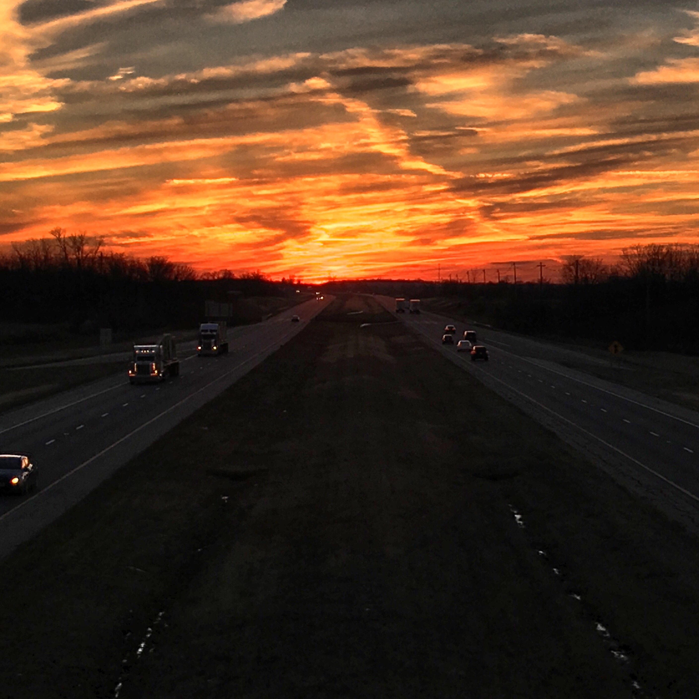
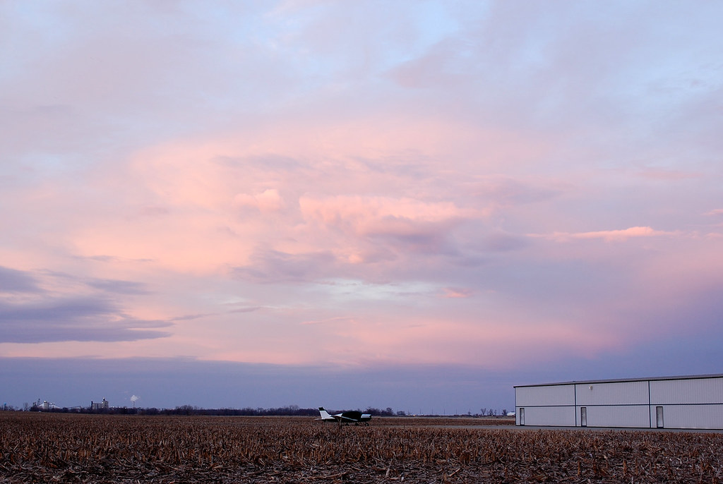
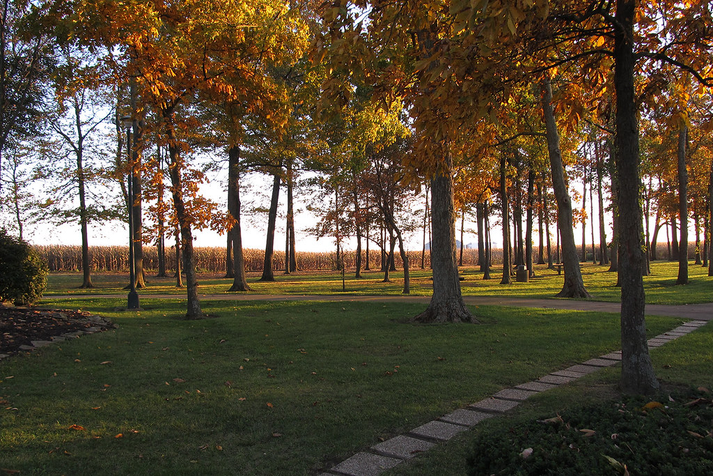
日出日落照片
Ohio Sunset

I23 - Sunset
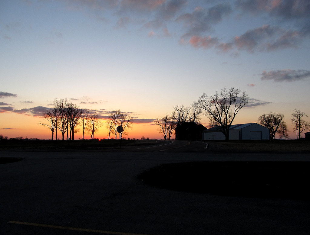
Rural Sunset

N8470L at I23
Little Bird, Big Sky

Little Bird, Big Sky
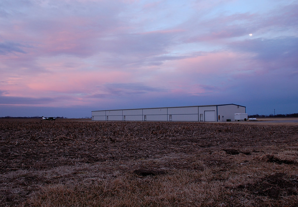
Little Bird, Big Sky
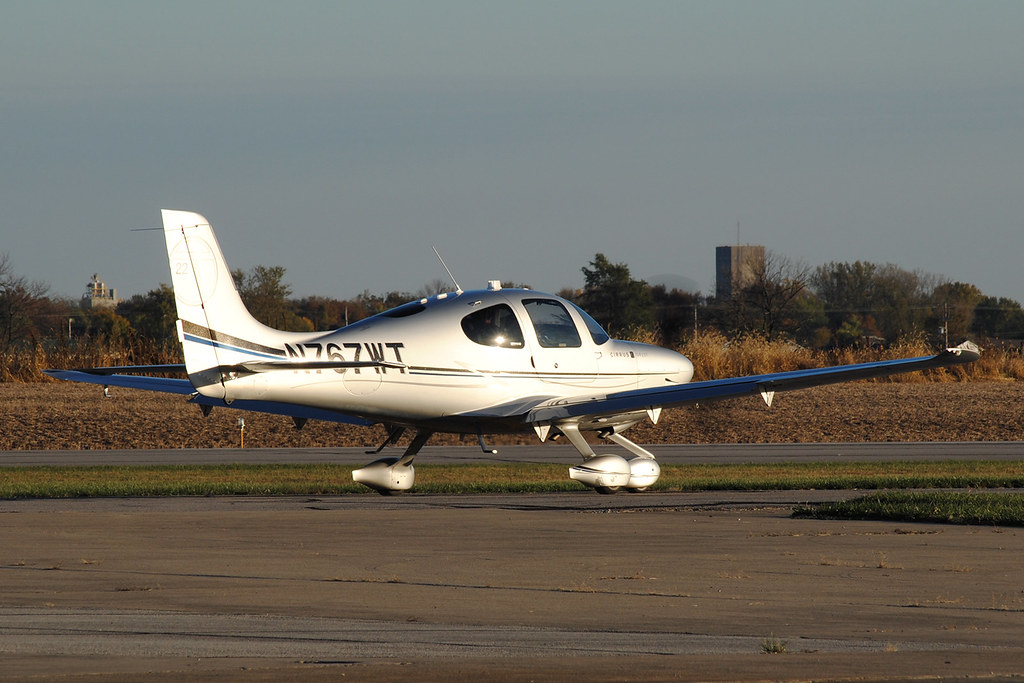
SR22T N767WT at I23
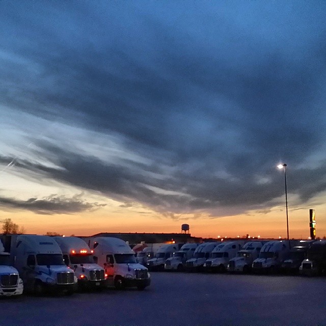
#Ohio #sunset Heading out at 3 AM for the 3rd #Con-Way load in a row. Headed to #California
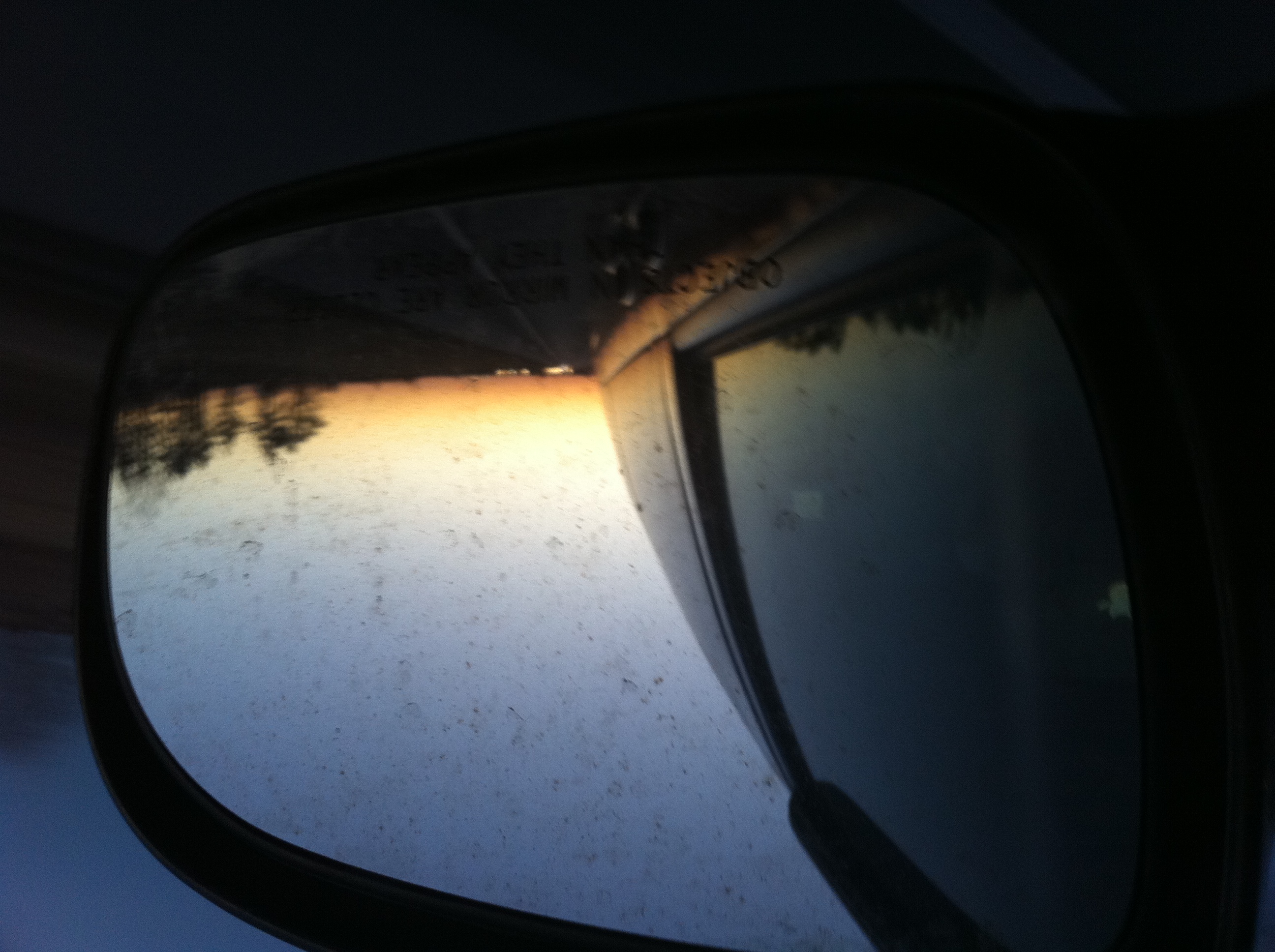
Playing with mirrors and sunsets 2
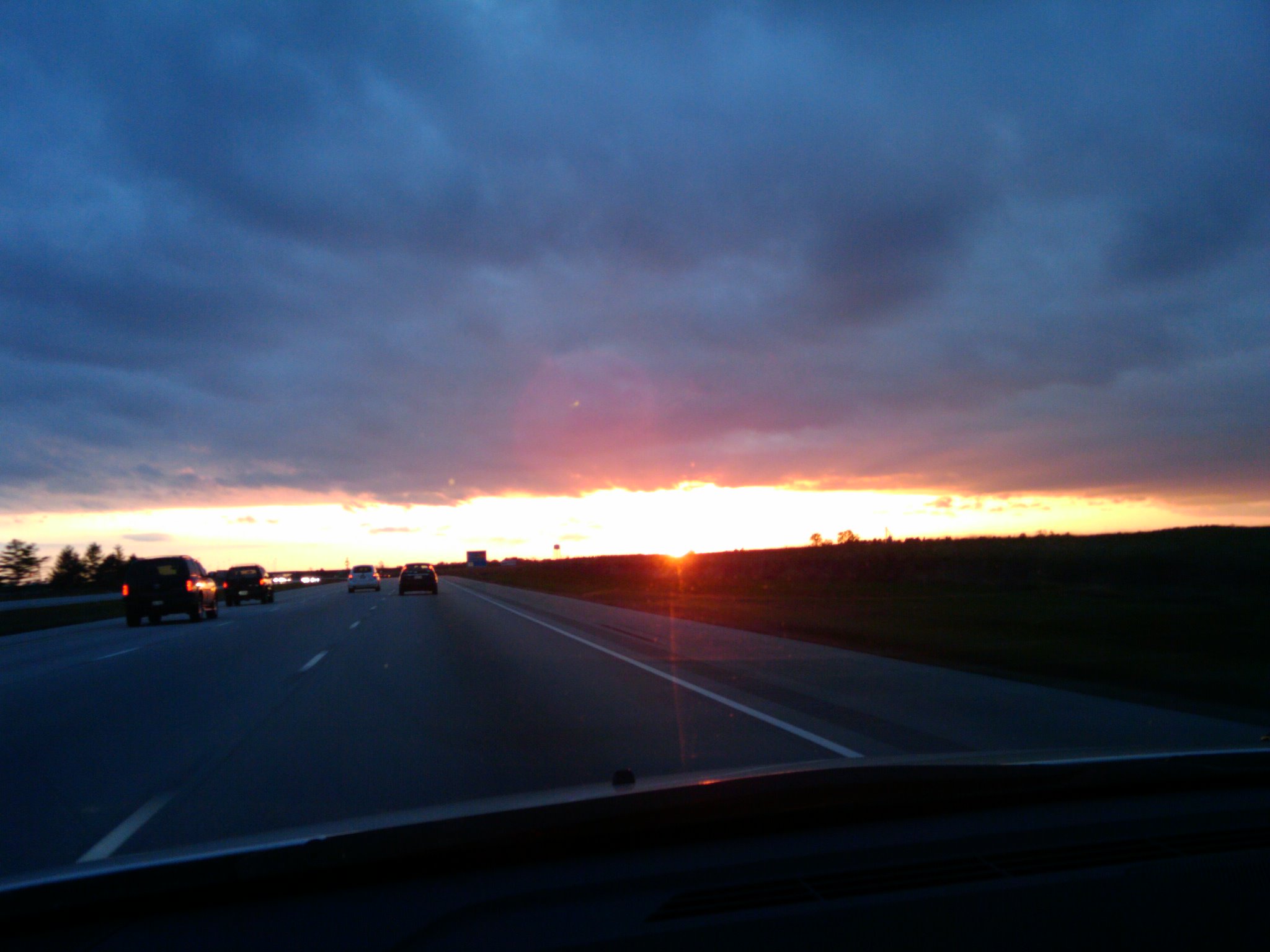
sunset on the way to cinci
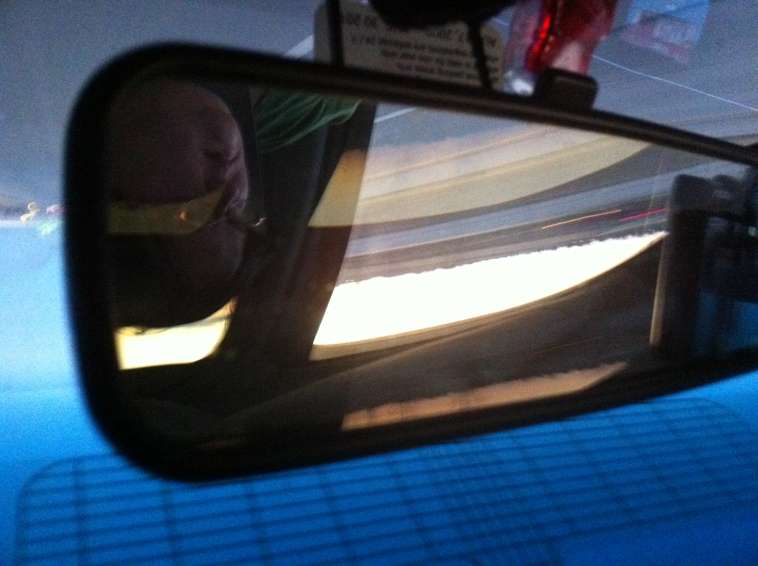
Playing with mirrors and sunsets 1
Rest Area
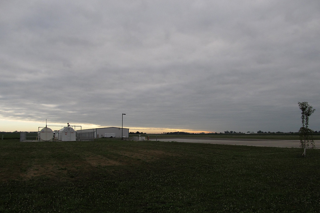
I23 - Morning
美國俄亥俄州費耶特縣的地圖
搜索其他地方的日出日落時間
美國俄亥俄州費耶特縣的其他地方
Madison Township, OH, 美國
Union Township, OH, 美國
美國俄亥俄州贾斯珀
Marion Township, OH, 美國
美國俄亥俄州杰斐逊维尔
Paint Township, OH, 美國
附近地點
State Rte 41, Washington Court House, OH 美國
Union Township, OH, 美國
美國俄亥俄州華盛頓
S Elm St, Washington Court House, OH 美國
Paint Township, OH, 美國
15 Wagner Ct, Washington Court House, OH 美國
WSHNGTN CT HS, OH 美國
I-71, 美國Interstate 71
美國俄亥俄州贾斯珀
美國俄亥俄州杰斐逊维尔
美國俄亥俄州米利奇维尔
Washington Court House, OH 美國Milledgeville Post Office
US-22, New Holland, OH 美國
Midway, OH, 美國
60 Federal St, Midway, OH 美國
OH-, Sabina, OH 美國
Bloomingburg New Holland Rd, New Holland, OH 美國
Range Township, OH, 美國
Madison Township, OH, 美國
Marion Township, OH, 美國
最近搜索
- Red Dog Mine, AK, USA的日出日落時間表
- Am bhf, Borken, 德國Am Bahnhof的日出日落時間表
- 4th St E, Sonoma, CA 美國的日出日落時間表
- Oakland Ave, Williamsport, PA 美國的日出日落時間表
- Via Roma, Pieranica CR, 義大利的日出日落時間表
- 克羅埃西亞杜布羅夫尼克 GradClock Tower of Dubrovnik的日出日落時間表
- 阿根廷丘布特省特雷利烏的日出日落時間表
- Hartfords Bluff Cir, Mt Pleasant, SC 美國的日出日落時間表
- 日本熊本縣熊本市北區的日出日落時間表
- 中國福州市平潭縣平潭島的日出日落時間表