Emmons Rd, Alum Creek, WV 美國的日出日落時間表
Location: 美國 > 西維吉尼亞州 > 卡諾瓦縣 > 美國 >
時區:
America/New_York
當地時間:
2025-06-28 07:47:17
經度:
-81.774913
緯度:
38.23866
今天日出時間:
06:06:28 AM
今天日落時間:
08:54:36 PM
今天日照時長:
14h 48m 8s
明天日出時間:
06:06:54 AM
明天日落時間:
08:54:34 PM
明天日照時長:
14h 47m 40s
顯示所有日期
| 日期 | 日出 | 日落 | 日照時長 |
|---|---|---|---|
| 2025年01月01日 | 07:43:52 AM | 05:18:33 PM | 9h 34m 41s |
| 2025年01月02日 | 07:43:57 AM | 05:19:23 PM | 9h 35m 26s |
| 2025年01月03日 | 07:44:00 AM | 05:20:15 PM | 9h 36m 15s |
| 2025年01月04日 | 07:44:01 AM | 05:21:08 PM | 9h 37m 7s |
| 2025年01月05日 | 07:44:00 AM | 05:22:02 PM | 9h 38m 2s |
| 2025年01月06日 | 07:43:57 AM | 05:22:57 PM | 9h 39m 0s |
| 2025年01月07日 | 07:43:51 AM | 05:23:53 PM | 9h 40m 2s |
| 2025年01月08日 | 07:43:44 AM | 05:24:50 PM | 9h 41m 6s |
| 2025年01月09日 | 07:43:34 AM | 05:25:49 PM | 9h 42m 15s |
| 2025年01月10日 | 07:43:22 AM | 05:26:48 PM | 9h 43m 26s |
| 2025年01月11日 | 07:43:08 AM | 05:27:48 PM | 9h 44m 40s |
| 2025年01月12日 | 07:42:52 AM | 05:28:49 PM | 9h 45m 57s |
| 2025年01月13日 | 07:42:34 AM | 05:29:51 PM | 9h 47m 17s |
| 2025年01月14日 | 07:42:14 AM | 05:30:53 PM | 9h 48m 39s |
| 2025年01月15日 | 07:41:52 AM | 05:31:56 PM | 9h 50m 4s |
| 2025年01月16日 | 07:41:28 AM | 05:33:00 PM | 9h 51m 32s |
| 2025年01月17日 | 07:41:02 AM | 05:34:05 PM | 9h 53m 3s |
| 2025年01月18日 | 07:40:34 AM | 05:35:10 PM | 9h 54m 36s |
| 2025年01月19日 | 07:40:04 AM | 05:36:15 PM | 9h 56m 11s |
| 2025年01月20日 | 07:39:32 AM | 05:37:21 PM | 9h 57m 49s |
| 2025年01月21日 | 07:38:58 AM | 05:38:27 PM | 9h 59m 29s |
| 2025年01月22日 | 07:38:22 AM | 05:39:34 PM | 10h 1m 12s |
| 2025年01月23日 | 07:37:44 AM | 05:40:41 PM | 10h 2m 57s |
| 2025年01月24日 | 07:37:04 AM | 05:41:48 PM | 10h 4m 44s |
| 2025年01月25日 | 07:36:23 AM | 05:42:55 PM | 10h 6m 32s |
| 2025年01月26日 | 07:35:40 AM | 05:44:03 PM | 10h 8m 23s |
| 2025年01月27日 | 07:34:55 AM | 05:45:11 PM | 10h 10m 16s |
| 2025年01月28日 | 07:34:08 AM | 05:46:19 PM | 10h 12m 11s |
| 2025年01月29日 | 07:33:20 AM | 05:47:27 PM | 10h 14m 7s |
| 2025年01月30日 | 07:32:29 AM | 05:48:35 PM | 10h 16m 6s |
| 2025年01月31日 | 07:31:38 AM | 05:49:43 PM | 10h 18m 5s |
| 2025年02月01日 | 07:30:44 AM | 05:50:51 PM | 10h 20m 7s |
| 2025年02月02日 | 07:29:49 AM | 05:51:59 PM | 10h 22m 10s |
| 2025年02月03日 | 07:28:53 AM | 05:53:07 PM | 10h 24m 14s |
| 2025年02月04日 | 07:27:54 AM | 05:54:15 PM | 10h 26m 21s |
| 2025年02月05日 | 07:26:55 AM | 05:55:23 PM | 10h 28m 28s |
| 2025年02月06日 | 07:25:54 AM | 05:56:30 PM | 10h 30m 36s |
| 2025年02月07日 | 07:24:51 AM | 05:57:38 PM | 10h 32m 47s |
| 2025年02月08日 | 07:23:47 AM | 05:58:45 PM | 10h 34m 58s |
| 2025年02月09日 | 07:22:42 AM | 05:59:52 PM | 10h 37m 10s |
| 2025年02月10日 | 07:21:36 AM | 06:00:59 PM | 10h 39m 23s |
| 2025年02月11日 | 07:20:28 AM | 06:02:06 PM | 10h 41m 38s |
| 2025年02月12日 | 07:19:19 AM | 06:03:12 PM | 10h 43m 53s |
| 2025年02月13日 | 07:18:08 AM | 06:04:18 PM | 10h 46m 10s |
| 2025年02月14日 | 07:16:57 AM | 06:05:24 PM | 10h 48m 27s |
| 2025年02月15日 | 07:15:44 AM | 06:06:30 PM | 10h 50m 46s |
| 2025年02月16日 | 07:14:30 AM | 06:07:35 PM | 10h 53m 5s |
| 2025年02月17日 | 07:13:15 AM | 06:08:40 PM | 10h 55m 25s |
| 2025年02月18日 | 07:11:59 AM | 06:09:45 PM | 10h 57m 46s |
| 2025年02月19日 | 07:10:42 AM | 06:10:49 PM | 11h 0m 7s |
| 2025年02月20日 | 07:09:24 AM | 06:11:53 PM | 11h 2m 29s |
| 2025年02月21日 | 07:08:05 AM | 06:12:57 PM | 11h 4m 52s |
| 2025年02月22日 | 07:06:45 AM | 06:14:01 PM | 11h 7m 16s |
| 2025年02月23日 | 07:05:25 AM | 06:15:04 PM | 11h 9m 39s |
| 2025年02月24日 | 07:04:03 AM | 06:16:07 PM | 11h 12m 4s |
| 2025年02月25日 | 07:02:41 AM | 06:17:09 PM | 11h 14m 28s |
| 2025年02月26日 | 07:01:17 AM | 06:18:11 PM | 11h 16m 54s |
| 2025年02月27日 | 06:59:53 AM | 06:19:13 PM | 11h 19m 20s |
| 2025年02月28日 | 06:58:29 AM | 06:20:15 PM | 11h 21m 46s |
| 2025年03月01日 | 06:57:03 AM | 06:21:16 PM | 11h 24m 13s |
| 2025年03月02日 | 06:55:37 AM | 06:22:17 PM | 11h 26m 40s |
| 2025年03月03日 | 06:54:11 AM | 06:23:18 PM | 11h 29m 7s |
| 2025年03月04日 | 06:52:43 AM | 06:24:18 PM | 11h 31m 35s |
| 2025年03月05日 | 06:51:15 AM | 06:25:19 PM | 11h 34m 4s |
| 2025年03月06日 | 06:49:47 AM | 06:26:18 PM | 11h 36m 31s |
| 2025年03月07日 | 06:48:18 AM | 06:27:18 PM | 11h 39m 0s |
| 2025年03月08日 | 06:46:49 AM | 06:28:17 PM | 11h 41m 28s |
| 2025年03月09日 | 07:45:23 AM | 07:29:14 PM | 11h 43m 51s |
| 2025年03月10日 | 07:43:53 AM | 07:30:13 PM | 11h 46m 20s |
| 2025年03月11日 | 07:42:22 AM | 07:31:11 PM | 11h 48m 49s |
| 2025年03月12日 | 07:40:51 AM | 07:32:10 PM | 11h 51m 19s |
| 2025年03月13日 | 07:39:20 AM | 07:33:08 PM | 11h 53m 48s |
| 2025年03月14日 | 07:37:49 AM | 07:34:06 PM | 11h 56m 17s |
| 2025年03月15日 | 07:36:17 AM | 07:35:04 PM | 11h 58m 47s |
| 2025年03月16日 | 07:34:45 AM | 07:36:01 PM | 12h 1m 16s |
| 2025年03月17日 | 07:33:13 AM | 07:36:58 PM | 12h 3m 45s |
| 2025年03月18日 | 07:31:41 AM | 07:37:56 PM | 12h 6m 15s |
| 2025年03月19日 | 07:30:08 AM | 07:38:53 PM | 12h 8m 45s |
| 2025年03月20日 | 07:28:36 AM | 07:39:50 PM | 12h 11m 14s |
| 2025年03月21日 | 07:27:03 AM | 07:40:46 PM | 12h 13m 43s |
| 2025年03月22日 | 07:25:30 AM | 07:41:43 PM | 12h 16m 13s |
| 2025年03月23日 | 07:23:58 AM | 07:42:40 PM | 12h 18m 42s |
| 2025年03月24日 | 07:22:25 AM | 07:43:36 PM | 12h 21m 11s |
| 2025年03月25日 | 07:20:53 AM | 07:44:32 PM | 12h 23m 39s |
| 2025年03月26日 | 07:19:20 AM | 07:45:29 PM | 12h 26m 9s |
| 2025年03月27日 | 07:17:48 AM | 07:46:25 PM | 12h 28m 37s |
| 2025年03月28日 | 07:16:15 AM | 07:47:21 PM | 12h 31m 6s |
| 2025年03月29日 | 07:14:43 AM | 07:48:17 PM | 12h 33m 34s |
| 2025年03月30日 | 07:13:11 AM | 07:49:13 PM | 12h 36m 2s |
| 2025年03月31日 | 07:11:40 AM | 07:50:09 PM | 12h 38m 29s |
| 2025年04月01日 | 07:10:08 AM | 07:51:05 PM | 12h 40m 57s |
| 2025年04月02日 | 07:08:37 AM | 07:52:01 PM | 12h 43m 24s |
| 2025年04月03日 | 07:07:07 AM | 07:52:57 PM | 12h 45m 50s |
| 2025年04月04日 | 07:05:36 AM | 07:53:53 PM | 12h 48m 17s |
| 2025年04月05日 | 07:04:06 AM | 07:54:49 PM | 12h 50m 43s |
| 2025年04月06日 | 07:02:36 AM | 07:55:45 PM | 12h 53m 9s |
| 2025年04月07日 | 07:01:07 AM | 07:56:41 PM | 12h 55m 34s |
| 2025年04月08日 | 06:59:39 AM | 07:57:37 PM | 12h 57m 58s |
| 2025年04月09日 | 06:58:10 AM | 07:58:33 PM | 13h 0m 23s |
| 2025年04月10日 | 06:56:43 AM | 07:59:29 PM | 13h 2m 46s |
| 2025年04月11日 | 06:55:15 AM | 08:00:25 PM | 13h 5m 10s |
| 2025年04月12日 | 06:53:49 AM | 08:01:21 PM | 13h 7m 32s |
| 2025年04月13日 | 06:52:23 AM | 08:02:17 PM | 13h 9m 54s |
| 2025年04月14日 | 06:50:58 AM | 08:03:14 PM | 13h 12m 16s |
| 2025年04月15日 | 06:49:33 AM | 08:04:10 PM | 13h 14m 37s |
| 2025年04月16日 | 06:48:09 AM | 08:05:06 PM | 13h 16m 57s |
| 2025年04月17日 | 06:46:46 AM | 08:06:02 PM | 13h 19m 16s |
| 2025年04月18日 | 06:45:24 AM | 08:06:59 PM | 13h 21m 35s |
| 2025年04月19日 | 06:44:02 AM | 08:07:55 PM | 13h 23m 53s |
| 2025年04月20日 | 06:42:41 AM | 08:08:51 PM | 13h 26m 10s |
| 2025年04月21日 | 06:41:21 AM | 08:09:48 PM | 13h 28m 27s |
| 2025年04月22日 | 06:40:02 AM | 08:10:44 PM | 13h 30m 42s |
| 2025年04月23日 | 06:38:44 AM | 08:11:41 PM | 13h 32m 57s |
| 2025年04月24日 | 06:37:27 AM | 08:12:37 PM | 13h 35m 10s |
| 2025年04月25日 | 06:36:11 AM | 08:13:34 PM | 13h 37m 23s |
| 2025年04月26日 | 06:34:56 AM | 08:14:30 PM | 13h 39m 34s |
| 2025年04月27日 | 06:33:42 AM | 08:15:26 PM | 13h 41m 44s |
| 2025年04月28日 | 06:32:29 AM | 08:16:23 PM | 13h 43m 54s |
| 2025年04月29日 | 06:31:17 AM | 08:17:19 PM | 13h 46m 2s |
| 2025年04月30日 | 06:30:06 AM | 08:18:15 PM | 13h 48m 9s |
| 2025年05月01日 | 06:28:57 AM | 08:19:11 PM | 13h 50m 14s |
| 2025年05月02日 | 06:27:48 AM | 08:20:07 PM | 13h 52m 19s |
| 2025年05月03日 | 06:26:41 AM | 08:21:03 PM | 13h 54m 22s |
| 2025年05月04日 | 06:25:35 AM | 08:21:59 PM | 13h 56m 24s |
| 2025年05月05日 | 06:24:30 AM | 08:22:55 PM | 13h 58m 25s |
| 2025年05月06日 | 06:23:27 AM | 08:23:50 PM | 14h 0m 23s |
| 2025年05月07日 | 06:22:25 AM | 08:24:45 PM | 14h 2m 20s |
| 2025年05月08日 | 06:21:24 AM | 08:25:40 PM | 14h 4m 16s |
| 2025年05月09日 | 06:20:25 AM | 08:26:35 PM | 14h 6m 10s |
| 2025年05月10日 | 06:19:27 AM | 08:27:30 PM | 14h 8m 3s |
| 2025年05月11日 | 06:18:31 AM | 08:28:24 PM | 14h 9m 53s |
| 2025年05月12日 | 06:17:36 AM | 08:29:18 PM | 14h 11m 42s |
| 2025年05月13日 | 06:16:43 AM | 08:30:11 PM | 14h 13m 28s |
| 2025年05月14日 | 06:15:51 AM | 08:31:04 PM | 14h 15m 13s |
| 2025年05月15日 | 06:15:00 AM | 08:31:57 PM | 14h 16m 57s |
| 2025年05月16日 | 06:14:11 AM | 08:32:49 PM | 14h 18m 38s |
| 2025年05月17日 | 06:13:24 AM | 08:33:41 PM | 14h 20m 17s |
| 2025年05月18日 | 06:12:39 AM | 08:34:33 PM | 14h 21m 54s |
| 2025年05月19日 | 06:11:55 AM | 08:35:23 PM | 14h 23m 28s |
| 2025年05月20日 | 06:11:12 AM | 08:36:13 PM | 14h 25m 1s |
| 2025年05月21日 | 06:10:32 AM | 08:37:03 PM | 14h 26m 31s |
| 2025年05月22日 | 06:09:53 AM | 08:37:52 PM | 14h 27m 59s |
| 2025年05月23日 | 06:09:16 AM | 08:38:40 PM | 14h 29m 24s |
| 2025年05月24日 | 06:08:40 AM | 08:39:27 PM | 14h 30m 47s |
| 2025年05月25日 | 06:08:06 AM | 08:40:14 PM | 14h 32m 8s |
| 2025年05月26日 | 06:07:34 AM | 08:41:00 PM | 14h 33m 26s |
| 2025年05月27日 | 06:07:04 AM | 08:41:45 PM | 14h 34m 41s |
| 2025年05月28日 | 06:06:36 AM | 08:42:29 PM | 14h 35m 53s |
| 2025年05月29日 | 06:06:09 AM | 08:43:12 PM | 14h 37m 3s |
| 2025年05月30日 | 06:05:44 AM | 08:43:55 PM | 14h 38m 11s |
| 2025年05月31日 | 06:05:21 AM | 08:44:36 PM | 14h 39m 15s |
| 2025年06月01日 | 06:05:00 AM | 08:45:16 PM | 14h 40m 16s |
| 2025年06月02日 | 06:04:41 AM | 08:45:55 PM | 14h 41m 14s |
| 2025年06月03日 | 06:04:23 AM | 08:46:33 PM | 14h 42m 10s |
| 2025年06月04日 | 06:04:08 AM | 08:47:10 PM | 14h 43m 2s |
| 2025年06月05日 | 06:03:54 AM | 08:47:46 PM | 14h 43m 52s |
| 2025年06月06日 | 06:03:42 AM | 08:48:20 PM | 14h 44m 38s |
| 2025年06月07日 | 06:03:32 AM | 08:48:53 PM | 14h 45m 21s |
| 2025年06月08日 | 06:03:23 AM | 08:49:25 PM | 14h 46m 2s |
| 2025年06月09日 | 06:03:17 AM | 08:49:55 PM | 14h 46m 38s |
| 2025年06月10日 | 06:03:12 AM | 08:50:24 PM | 14h 47m 12s |
| 2025年06月11日 | 06:03:09 AM | 08:50:52 PM | 14h 47m 43s |
| 2025年06月12日 | 06:03:08 AM | 08:51:18 PM | 14h 48m 10s |
| 2025年06月13日 | 06:03:09 AM | 08:51:43 PM | 14h 48m 34s |
| 2025年06月14日 | 06:03:11 AM | 08:52:06 PM | 14h 48m 55s |
| 2025年06月15日 | 06:03:15 AM | 08:52:28 PM | 14h 49m 13s |
| 2025年06月16日 | 06:03:21 AM | 08:52:48 PM | 14h 49m 27s |
| 2025年06月17日 | 06:03:29 AM | 08:53:06 PM | 14h 49m 37s |
| 2025年06月18日 | 06:03:38 AM | 08:53:23 PM | 14h 49m 45s |
| 2025年06月19日 | 06:03:50 AM | 08:53:38 PM | 14h 49m 48s |
| 2025年06月20日 | 06:04:02 AM | 08:53:51 PM | 14h 49m 49s |
| 2025年06月21日 | 06:04:17 AM | 08:54:03 PM | 14h 49m 46s |
| 2025年06月22日 | 06:04:33 AM | 08:54:13 PM | 14h 49m 40s |
| 2025年06月23日 | 06:04:50 AM | 08:54:21 PM | 14h 49m 31s |
| 2025年06月24日 | 06:05:09 AM | 08:54:28 PM | 14h 49m 19s |
| 2025年06月25日 | 06:05:30 AM | 08:54:32 PM | 14h 49m 2s |
| 2025年06月26日 | 06:05:52 AM | 08:54:35 PM | 14h 48m 43s |
| 2025年06月27日 | 06:06:16 AM | 08:54:36 PM | 14h 48m 20s |
| 2025年06月28日 | 06:06:41 AM | 08:54:35 PM | 14h 47m 54s |
| 2025年06月29日 | 06:07:07 AM | 08:54:33 PM | 14h 47m 26s |
| 2025年06月30日 | 06:07:35 AM | 08:54:28 PM | 14h 46m 53s |
| 2025年07月01日 | 06:08:04 AM | 08:54:22 PM | 14h 46m 18s |
| 2025年07月02日 | 06:08:34 AM | 08:54:13 PM | 14h 45m 39s |
| 2025年07月03日 | 06:09:06 AM | 08:54:03 PM | 14h 44m 57s |
| 2025年07月04日 | 06:09:39 AM | 08:53:51 PM | 14h 44m 12s |
| 2025年07月05日 | 06:10:13 AM | 08:53:37 PM | 14h 43m 24s |
| 2025年07月06日 | 06:10:48 AM | 08:53:22 PM | 14h 42m 34s |
| 2025年07月07日 | 06:11:25 AM | 08:53:04 PM | 14h 41m 39s |
| 2025年07月08日 | 06:12:02 AM | 08:52:44 PM | 14h 40m 42s |
| 2025年07月09日 | 06:12:40 AM | 08:52:23 PM | 14h 39m 43s |
| 2025年07月10日 | 06:13:20 AM | 08:52:00 PM | 14h 38m 40s |
| 2025年07月11日 | 06:14:00 AM | 08:51:35 PM | 14h 37m 35s |
| 2025年07月12日 | 06:14:41 AM | 08:51:08 PM | 14h 36m 27s |
| 2025年07月13日 | 06:15:23 AM | 08:50:39 PM | 14h 35m 16s |
| 2025年07月14日 | 06:16:06 AM | 08:50:09 PM | 14h 34m 3s |
| 2025年07月15日 | 06:16:50 AM | 08:49:36 PM | 14h 32m 46s |
| 2025年07月16日 | 06:17:34 AM | 08:49:02 PM | 14h 31m 28s |
| 2025年07月17日 | 06:18:19 AM | 08:48:26 PM | 14h 30m 7s |
| 2025年07月18日 | 06:19:05 AM | 08:47:48 PM | 14h 28m 43s |
| 2025年07月19日 | 06:19:52 AM | 08:47:09 PM | 14h 27m 17s |
| 2025年07月20日 | 06:20:39 AM | 08:46:28 PM | 14h 25m 49s |
| 2025年07月21日 | 06:21:26 AM | 08:45:45 PM | 14h 24m 19s |
| 2025年07月22日 | 06:22:15 AM | 08:45:00 PM | 14h 22m 45s |
| 2025年07月23日 | 06:23:03 AM | 08:44:14 PM | 14h 21m 11s |
| 2025年07月24日 | 06:23:52 AM | 08:43:26 PM | 14h 19m 34s |
| 2025年07月25日 | 06:24:42 AM | 08:42:36 PM | 14h 17m 54s |
| 2025年07月26日 | 06:25:32 AM | 08:41:45 PM | 14h 16m 13s |
| 2025年07月27日 | 06:26:22 AM | 08:40:53 PM | 14h 14m 31s |
| 2025年07月28日 | 06:27:13 AM | 08:39:58 PM | 14h 12m 45s |
| 2025年07月29日 | 06:28:04 AM | 08:39:03 PM | 14h 10m 59s |
| 2025年07月30日 | 06:28:55 AM | 08:38:06 PM | 14h 9m 11s |
| 2025年07月31日 | 06:29:46 AM | 08:37:07 PM | 14h 7m 21s |
| 2025年08月01日 | 06:30:38 AM | 08:36:07 PM | 14h 5m 29s |
| 2025年08月02日 | 06:31:30 AM | 08:35:05 PM | 14h 3m 35s |
| 2025年08月03日 | 06:32:22 AM | 08:34:02 PM | 14h 1m 40s |
| 2025年08月04日 | 06:33:14 AM | 08:32:58 PM | 13h 59m 44s |
| 2025年08月05日 | 06:34:07 AM | 08:31:52 PM | 13h 57m 45s |
| 2025年08月06日 | 06:34:59 AM | 08:30:45 PM | 13h 55m 46s |
| 2025年08月07日 | 06:35:52 AM | 08:29:37 PM | 13h 53m 45s |
| 2025年08月08日 | 06:36:44 AM | 08:28:28 PM | 13h 51m 44s |
| 2025年08月09日 | 06:37:37 AM | 08:27:17 PM | 13h 49m 40s |
| 2025年08月10日 | 06:38:30 AM | 08:26:05 PM | 13h 47m 35s |
| 2025年08月11日 | 06:39:23 AM | 08:24:52 PM | 13h 45m 29s |
| 2025年08月12日 | 06:40:16 AM | 08:23:38 PM | 13h 43m 22s |
| 2025年08月13日 | 06:41:08 AM | 08:22:23 PM | 13h 41m 15s |
| 2025年08月14日 | 06:42:01 AM | 08:21:06 PM | 13h 39m 5s |
| 2025年08月15日 | 06:42:54 AM | 08:19:49 PM | 13h 36m 55s |
| 2025年08月16日 | 06:43:47 AM | 08:18:31 PM | 13h 34m 44s |
| 2025年08月17日 | 06:44:39 AM | 08:17:11 PM | 13h 32m 32s |
| 2025年08月18日 | 06:45:32 AM | 08:15:51 PM | 13h 30m 19s |
| 2025年08月19日 | 06:46:25 AM | 08:14:30 PM | 13h 28m 5s |
| 2025年08月20日 | 06:47:17 AM | 08:13:08 PM | 13h 25m 51s |
| 2025年08月21日 | 06:48:10 AM | 08:11:45 PM | 13h 23m 35s |
| 2025年08月22日 | 06:49:02 AM | 08:10:21 PM | 13h 21m 19s |
| 2025年08月23日 | 06:49:55 AM | 08:08:57 PM | 13h 19m 2s |
| 2025年08月24日 | 06:50:47 AM | 08:07:31 PM | 13h 16m 44s |
| 2025年08月25日 | 06:51:39 AM | 08:06:05 PM | 13h 14m 26s |
| 2025年08月26日 | 06:52:31 AM | 08:04:38 PM | 13h 12m 7s |
| 2025年08月27日 | 06:53:23 AM | 08:03:11 PM | 13h 9m 48s |
| 2025年08月28日 | 06:54:15 AM | 08:01:43 PM | 13h 7m 28s |
| 2025年08月29日 | 06:55:07 AM | 08:00:14 PM | 13h 5m 7s |
| 2025年08月30日 | 06:55:59 AM | 07:58:45 PM | 13h 2m 46s |
| 2025年08月31日 | 06:56:51 AM | 07:57:15 PM | 13h 0m 24s |
| 2025年09月01日 | 06:57:43 AM | 07:55:45 PM | 12h 58m 2s |
| 2025年09月02日 | 06:58:35 AM | 07:54:14 PM | 12h 55m 39s |
| 2025年09月03日 | 06:59:26 AM | 07:52:42 PM | 12h 53m 16s |
| 2025年09月04日 | 07:00:18 AM | 07:51:11 PM | 12h 50m 53s |
| 2025年09月05日 | 07:01:10 AM | 07:49:39 PM | 12h 48m 29s |
| 2025年09月06日 | 07:02:01 AM | 07:48:06 PM | 12h 46m 5s |
| 2025年09月07日 | 07:02:53 AM | 07:46:33 PM | 12h 43m 40s |
| 2025年09月08日 | 07:03:44 AM | 07:45:00 PM | 12h 41m 16s |
| 2025年09月09日 | 07:04:36 AM | 07:43:26 PM | 12h 38m 50s |
| 2025年09月10日 | 07:05:28 AM | 07:41:52 PM | 12h 36m 24s |
| 2025年09月11日 | 07:06:19 AM | 07:40:18 PM | 12h 33m 59s |
| 2025年09月12日 | 07:07:11 AM | 07:38:44 PM | 12h 31m 33s |
| 2025年09月13日 | 07:08:03 AM | 07:37:10 PM | 12h 29m 7s |
| 2025年09月14日 | 07:08:54 AM | 07:35:35 PM | 12h 26m 41s |
| 2025年09月15日 | 07:09:46 AM | 07:34:01 PM | 12h 24m 15s |
| 2025年09月16日 | 07:10:38 AM | 07:32:26 PM | 12h 21m 48s |
| 2025年09月17日 | 07:11:30 AM | 07:30:51 PM | 12h 19m 21s |
| 2025年09月18日 | 07:12:22 AM | 07:29:16 PM | 12h 16m 54s |
| 2025年09月19日 | 07:13:14 AM | 07:27:41 PM | 12h 14m 27s |
| 2025年09月20日 | 07:14:06 AM | 07:26:06 PM | 12h 12m 0s |
| 2025年09月21日 | 07:14:59 AM | 07:24:32 PM | 12h 9m 33s |
| 2025年09月22日 | 07:15:51 AM | 07:22:57 PM | 12h 7m 6s |
| 2025年09月23日 | 07:16:44 AM | 07:21:23 PM | 12h 4m 39s |
| 2025年09月24日 | 07:17:37 AM | 07:19:48 PM | 12h 2m 11s |
| 2025年09月25日 | 07:18:30 AM | 07:18:14 PM | 11h 59m 44s |
| 2025年09月26日 | 07:19:23 AM | 07:16:40 PM | 11h 57m 17s |
| 2025年09月27日 | 07:20:16 AM | 07:15:06 PM | 11h 54m 50s |
| 2025年09月28日 | 07:21:10 AM | 07:13:33 PM | 11h 52m 23s |
| 2025年09月29日 | 07:22:04 AM | 07:11:59 PM | 11h 49m 55s |
| 2025年09月30日 | 07:22:58 AM | 07:10:26 PM | 11h 47m 28s |
| 2025年10月01日 | 07:23:52 AM | 07:08:54 PM | 11h 45m 2s |
| 2025年10月02日 | 07:24:46 AM | 07:07:22 PM | 11h 42m 36s |
| 2025年10月03日 | 07:25:41 AM | 07:05:50 PM | 11h 40m 9s |
| 2025年10月04日 | 07:26:36 AM | 07:04:19 PM | 11h 37m 43s |
| 2025年10月05日 | 07:27:31 AM | 07:02:48 PM | 11h 35m 17s |
| 2025年10月06日 | 07:28:27 AM | 07:01:17 PM | 11h 32m 50s |
| 2025年10月07日 | 07:29:23 AM | 06:59:48 PM | 11h 30m 25s |
| 2025年10月08日 | 07:30:19 AM | 06:58:19 PM | 11h 28m 0s |
| 2025年10月09日 | 07:31:15 AM | 06:56:50 PM | 11h 25m 35s |
| 2025年10月10日 | 07:32:12 AM | 06:55:22 PM | 11h 23m 10s |
| 2025年10月11日 | 07:33:09 AM | 06:53:55 PM | 11h 20m 46s |
| 2025年10月12日 | 07:34:07 AM | 06:52:28 PM | 11h 18m 21s |
| 2025年10月13日 | 07:35:05 AM | 06:51:02 PM | 11h 15m 57s |
| 2025年10月14日 | 07:36:03 AM | 06:49:37 PM | 11h 13m 34s |
| 2025年10月15日 | 07:37:01 AM | 06:48:13 PM | 11h 11m 12s |
| 2025年10月16日 | 07:38:00 AM | 06:46:49 PM | 11h 8m 49s |
| 2025年10月17日 | 07:38:59 AM | 06:45:27 PM | 11h 6m 28s |
| 2025年10月18日 | 07:39:59 AM | 06:44:05 PM | 11h 4m 6s |
| 2025年10月19日 | 07:40:58 AM | 06:42:44 PM | 11h 1m 46s |
| 2025年10月20日 | 07:41:58 AM | 06:41:24 PM | 10h 59m 26s |
| 2025年10月21日 | 07:42:59 AM | 06:40:05 PM | 10h 57m 6s |
| 2025年10月22日 | 07:44:00 AM | 06:38:48 PM | 10h 54m 48s |
| 2025年10月23日 | 07:45:01 AM | 06:37:31 PM | 10h 52m 30s |
| 2025年10月24日 | 07:46:02 AM | 06:36:15 PM | 10h 50m 13s |
| 2025年10月25日 | 07:47:04 AM | 06:35:01 PM | 10h 47m 57s |
| 2025年10月26日 | 07:48:06 AM | 06:33:47 PM | 10h 45m 41s |
| 2025年10月27日 | 07:49:09 AM | 06:32:35 PM | 10h 43m 26s |
| 2025年10月28日 | 07:50:11 AM | 06:31:24 PM | 10h 41m 13s |
| 2025年10月29日 | 07:51:14 AM | 06:30:14 PM | 10h 39m 0s |
| 2025年10月30日 | 07:52:18 AM | 06:29:06 PM | 10h 36m 48s |
| 2025年10月31日 | 07:53:21 AM | 06:27:59 PM | 10h 34m 38s |
| 2025年11月01日 | 07:54:25 AM | 06:26:53 PM | 10h 32m 28s |
| 2025年11月02日 | 06:55:32 AM | 05:25:46 PM | 10h 30m 14s |
| 2025年11月03日 | 06:56:36 AM | 05:24:43 PM | 10h 28m 7s |
| 2025年11月04日 | 06:57:40 AM | 05:23:42 PM | 10h 26m 2s |
| 2025年11月05日 | 06:58:45 AM | 05:22:42 PM | 10h 23m 57s |
| 2025年11月06日 | 06:59:49 AM | 05:21:44 PM | 10h 21m 55s |
| 2025年11月07日 | 07:00:54 AM | 05:20:47 PM | 10h 19m 53s |
| 2025年11月08日 | 07:01:59 AM | 05:19:52 PM | 10h 17m 53s |
| 2025年11月09日 | 07:03:04 AM | 05:18:58 PM | 10h 15m 54s |
| 2025年11月10日 | 07:04:09 AM | 05:18:07 PM | 10h 13m 58s |
| 2025年11月11日 | 07:05:14 AM | 05:17:16 PM | 10h 12m 2s |
| 2025年11月12日 | 07:06:19 AM | 05:16:28 PM | 10h 10m 9s |
| 2025年11月13日 | 07:07:24 AM | 05:15:41 PM | 10h 8m 17s |
| 2025年11月14日 | 07:08:29 AM | 05:14:56 PM | 10h 6m 27s |
| 2025年11月15日 | 07:09:34 AM | 05:14:13 PM | 10h 4m 39s |
| 2025年11月16日 | 07:10:38 AM | 05:13:32 PM | 10h 2m 54s |
| 2025年11月17日 | 07:11:42 AM | 05:12:52 PM | 10h 1m 10s |
| 2025年11月18日 | 07:12:47 AM | 05:12:15 PM | 9h 59m 28s |
| 2025年11月19日 | 07:13:50 AM | 05:11:39 PM | 9h 57m 49s |
| 2025年11月20日 | 07:14:54 AM | 05:11:06 PM | 9h 56m 12s |
| 2025年11月21日 | 07:15:57 AM | 05:10:34 PM | 9h 54m 37s |
| 2025年11月22日 | 07:17:00 AM | 05:10:04 PM | 9h 53m 4s |
| 2025年11月23日 | 07:18:02 AM | 05:09:37 PM | 9h 51m 35s |
| 2025年11月24日 | 07:19:04 AM | 05:09:11 PM | 9h 50m 7s |
| 2025年11月25日 | 07:20:05 AM | 05:08:47 PM | 9h 48m 42s |
| 2025年11月26日 | 07:21:05 AM | 05:08:26 PM | 9h 47m 21s |
| 2025年11月27日 | 07:22:05 AM | 05:08:06 PM | 9h 46m 1s |
| 2025年11月28日 | 07:23:05 AM | 05:07:49 PM | 9h 44m 44s |
| 2025年11月29日 | 07:24:03 AM | 05:07:34 PM | 9h 43m 31s |
| 2025年11月30日 | 07:25:01 AM | 05:07:21 PM | 9h 42m 20s |
| 2025年12月01日 | 07:25:58 AM | 05:07:10 PM | 9h 41m 12s |
| 2025年12月02日 | 07:26:54 AM | 05:07:01 PM | 9h 40m 7s |
| 2025年12月03日 | 07:27:49 AM | 05:06:54 PM | 9h 39m 5s |
| 2025年12月04日 | 07:28:42 AM | 05:06:49 PM | 9h 38m 7s |
| 2025年12月05日 | 07:29:35 AM | 05:06:47 PM | 9h 37m 12s |
| 2025年12月06日 | 07:30:27 AM | 05:06:47 PM | 9h 36m 20s |
| 2025年12月07日 | 07:31:18 AM | 05:06:49 PM | 9h 35m 31s |
| 2025年12月08日 | 07:32:07 AM | 05:06:53 PM | 9h 34m 46s |
| 2025年12月09日 | 07:32:55 AM | 05:06:59 PM | 9h 34m 4s |
| 2025年12月10日 | 07:33:42 AM | 05:07:07 PM | 9h 33m 25s |
| 2025年12月11日 | 07:34:27 AM | 05:07:17 PM | 9h 32m 50s |
| 2025年12月12日 | 07:35:11 AM | 05:07:30 PM | 9h 32m 19s |
| 2025年12月13日 | 07:35:54 AM | 05:07:44 PM | 9h 31m 50s |
| 2025年12月14日 | 07:36:35 AM | 05:08:01 PM | 9h 31m 26s |
| 2025年12月15日 | 07:37:15 AM | 05:08:20 PM | 9h 31m 5s |
| 2025年12月16日 | 07:37:52 AM | 05:08:40 PM | 9h 30m 48s |
| 2025年12月17日 | 07:38:29 AM | 05:09:03 PM | 9h 30m 34s |
| 2025年12月18日 | 07:39:03 AM | 05:09:28 PM | 9h 30m 25s |
| 2025年12月19日 | 07:39:36 AM | 05:09:54 PM | 9h 30m 18s |
| 2025年12月20日 | 07:40:07 AM | 05:10:23 PM | 9h 30m 16s |
| 2025年12月21日 | 07:40:36 AM | 05:10:53 PM | 9h 30m 17s |
| 2025年12月22日 | 07:41:04 AM | 05:11:25 PM | 9h 30m 21s |
| 2025年12月23日 | 07:41:29 AM | 05:11:59 PM | 9h 30m 30s |
| 2025年12月24日 | 07:41:53 AM | 05:12:35 PM | 9h 30m 42s |
| 2025年12月25日 | 07:42:15 AM | 05:13:13 PM | 9h 30m 58s |
| 2025年12月26日 | 07:42:34 AM | 05:13:52 PM | 9h 31m 18s |
| 2025年12月27日 | 07:42:52 AM | 05:14:33 PM | 9h 31m 41s |
| 2025年12月28日 | 07:43:08 AM | 05:15:16 PM | 9h 32m 8s |
| 2025年12月29日 | 07:43:22 AM | 05:16:00 PM | 9h 32m 38s |
| 2025年12月30日 | 07:43:33 AM | 05:16:45 PM | 9h 33m 12s |
| 2025年12月31日 | 07:43:43 AM | 05:17:33 PM | 9h 33m 50s |
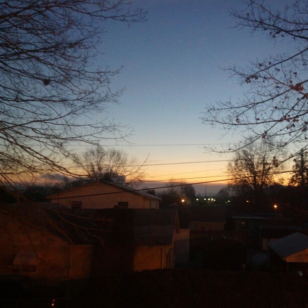
日出日落照片
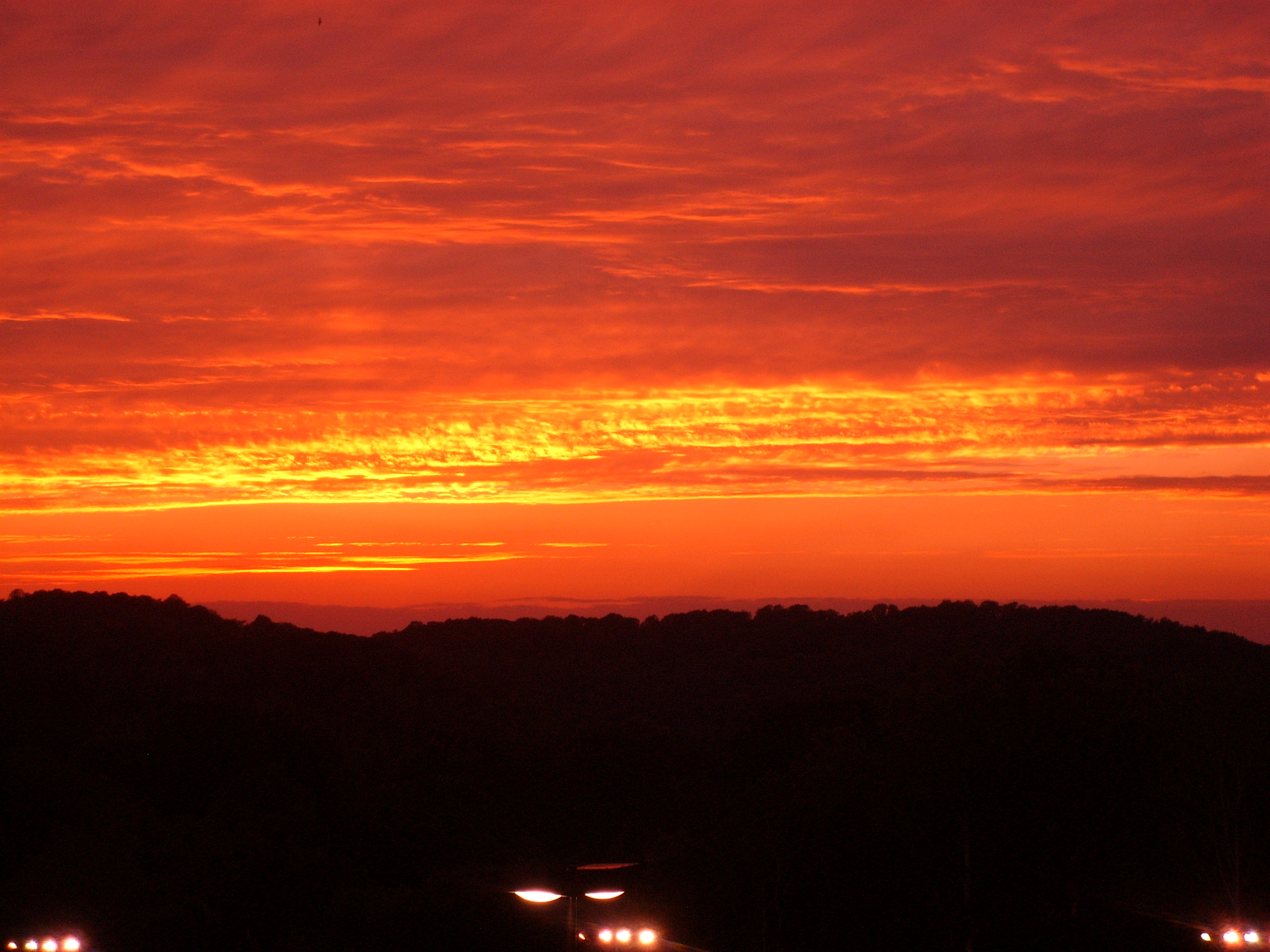
Sunset @ Corridor G

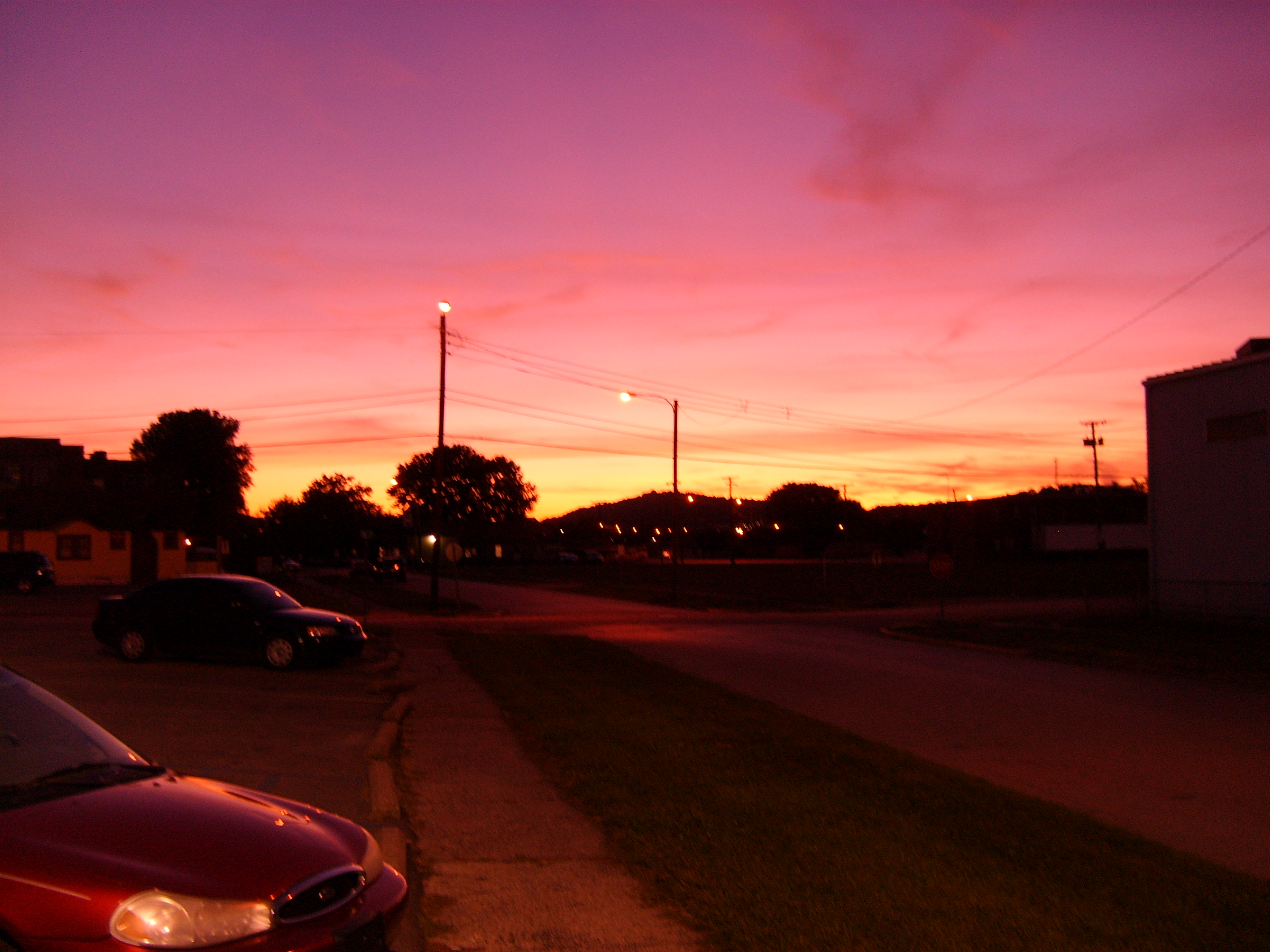
Byng Dr. Sunset

Moonset 12.5.08

Dying of the Light

The Close of the Day

The Gathering Storm

Byng Dr. Sunset

Byng Dr. Sunset

Byng Dr. Sunset

Mountain sunset
Chemical Valley Sunset

Middle Ridge Sunset

Middle Ridge Sunset

Byng Dr. Sunset

Byng Dr. Sunset

Middle Ridge Sunset

Byng Dr. Sunset with Contrails

Middle Ridge Sunset

Byng Dr. Sunset

Middle Ridge Road - HDR Image
DSC_4937.JPG
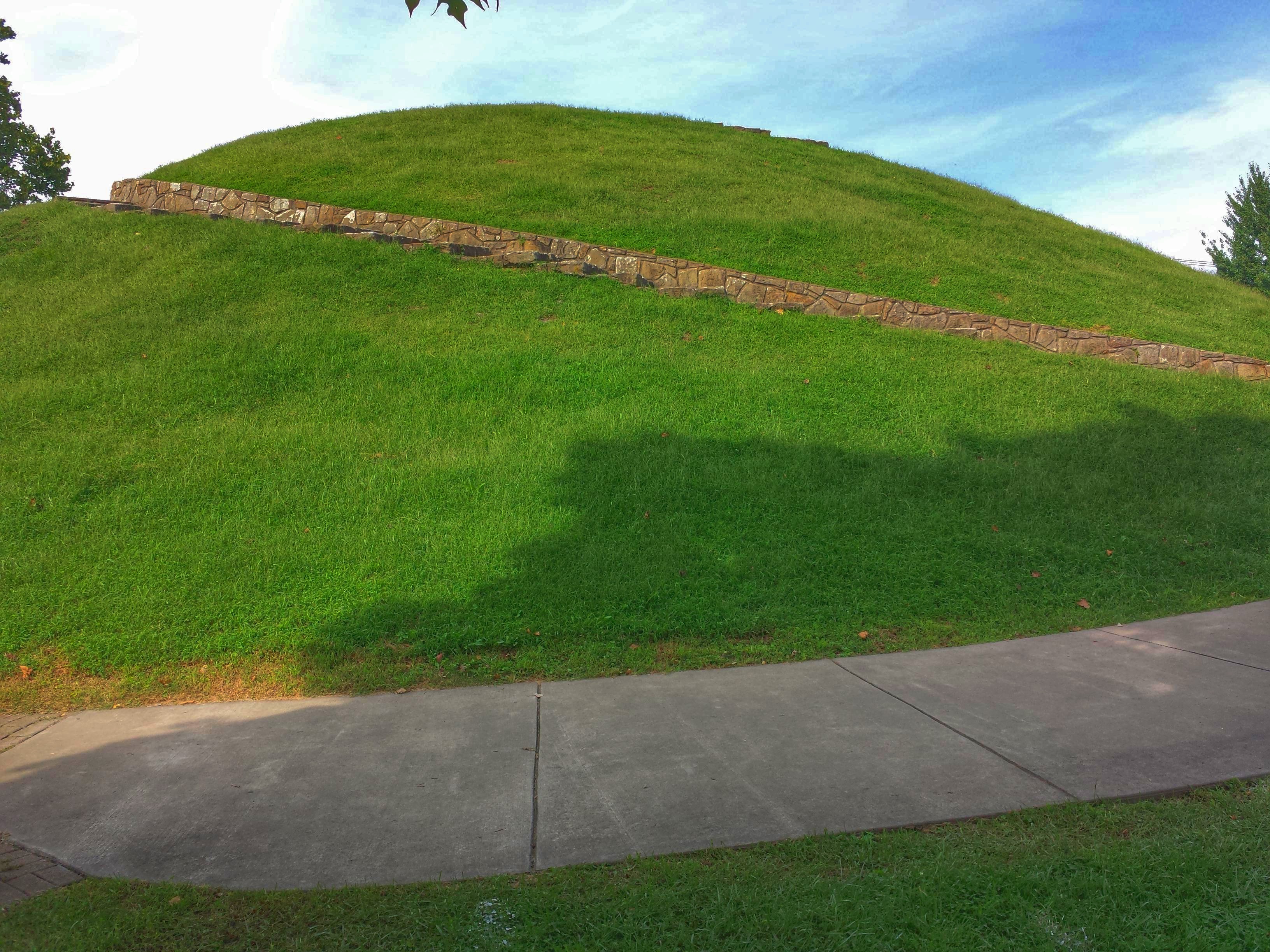
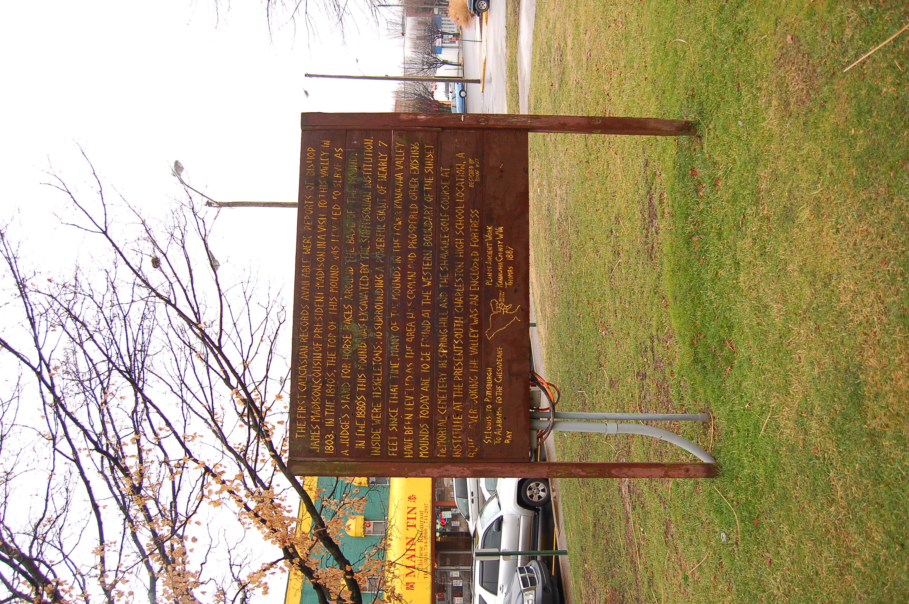
South Charleston Mound- South Charleston WV (3)
#NoFilter #DayBreak #Sunrise over St. Albans, West Virginia #wsaz @wsazbrandon
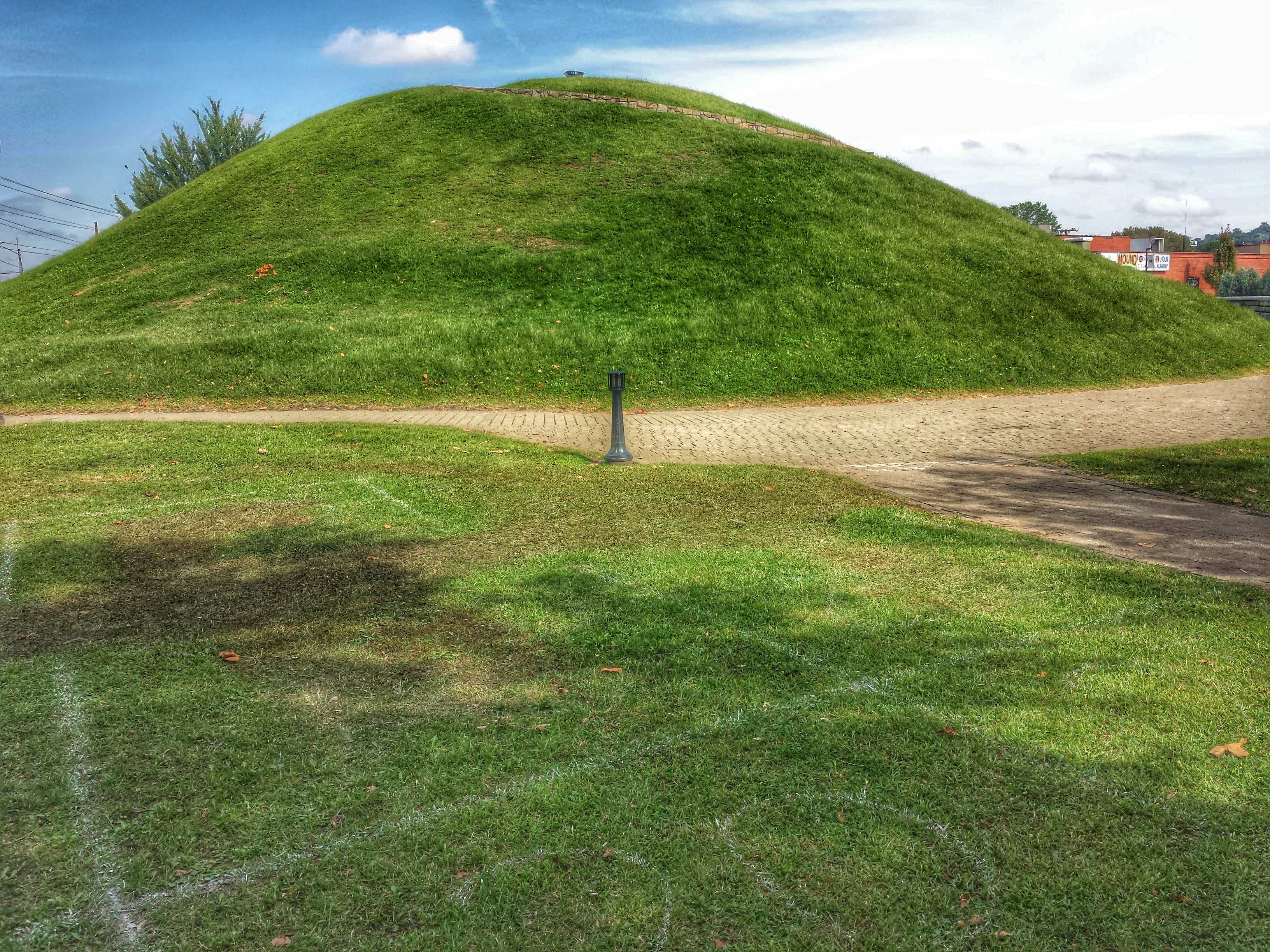
South Charleston Mound- South Charleston WV (5)
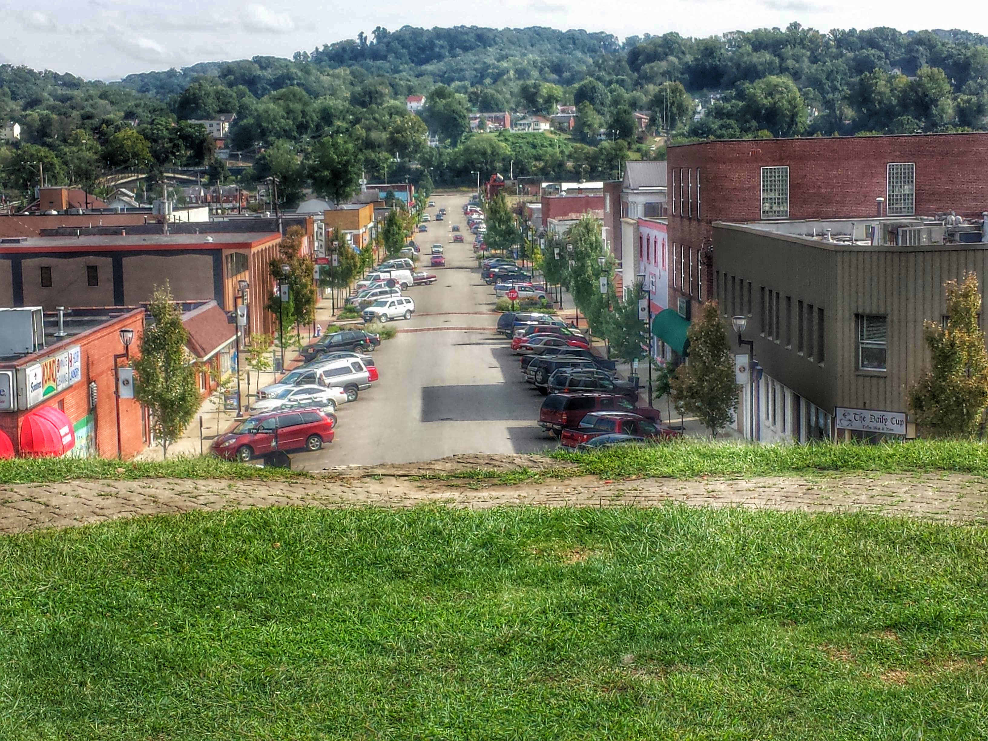
South Charleston Mound- South Charleston WV (6)

South Charleston Mound- South Charleston WV (2)
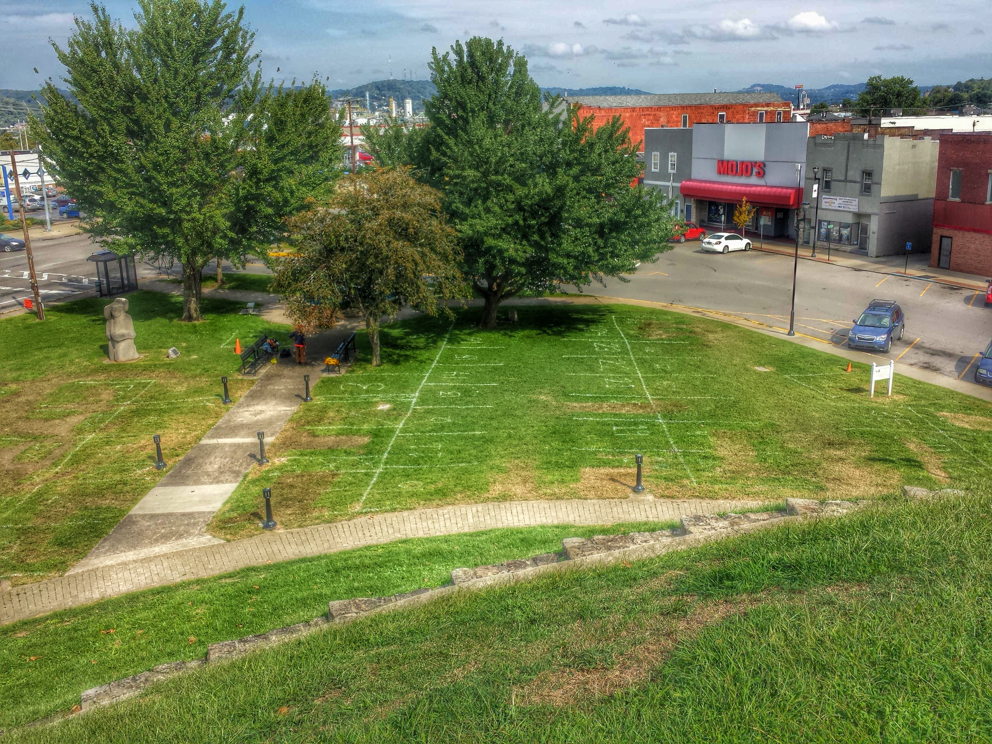
South Charleston Mound- South Charleston WV (7)

South Charleston Mound- South Charleston WV (4)
Emmons Rd, Alum Creek, WV 美國的地圖
搜索其他地方的日出日落時間
附近地點
Gibson Rd, Alum Creek, WV 美國
Alum Creek, WV, 美國
McCorkle Rd, Sod, WV 美國
Chestnut Rd, South Charleston, WV 美國Chestnut Road
美國西弗吉尼亚华盛顿
2, WV, 美國
Ashford, WV 美國
Ashford Ln, Ashford, WV 美國
Island Creek Rd, Alum Creek, WV, 美國Island Creek Road
Princess Dr, Charleston, WV 美國
Kenova Ave, Julian, WV 美國
Hollyberry Ln, South Charleston, WV 美國
Julian, WV 美國
Damron Branch Rd, Julian, WV 美國
Co Hwy /01, West Virginia 美國Middle White Oak Road
Tornado, WV, 美國
24th St, Dunbar, WV 美國
美國西弗吉尼亚州邓巴
-,2- Betsy Ln, Julian, WV 美國
Peytona, WV 美國
最近搜索
- Red Dog Mine, AK, USA的日出日落時間表
- Am bhf, Borken, 德國Am Bahnhof的日出日落時間表
- 4th St E, Sonoma, CA 美國的日出日落時間表
- Oakland Ave, Williamsport, PA 美國的日出日落時間表
- Via Roma, Pieranica CR, 義大利的日出日落時間表
- 克羅埃西亞杜布羅夫尼克 GradClock Tower of Dubrovnik的日出日落時間表
- 阿根廷丘布特省特雷利烏的日出日落時間表
- Hartfords Bluff Cir, Mt Pleasant, SC 美國的日出日落時間表
- 日本熊本縣熊本市北區的日出日落時間表
- 中國福州市平潭縣平潭島的日出日落時間表