Croydon St, Highland, CA 美國的日出日落時間表
Location: 美國 > 加利福尼亞州 > 聖貝納迪諾縣 > 美國加利福尼亞州聖貝納迪諾 > CA 美國 >
時區:
America/Los_Angeles
當地時間:
2025-06-17 18:19:46
經度:
-117.2028214
緯度:
34.1403079
今天日出時間:
05:37:08 AM
今天日落時間:
08:03:08 PM
今天日照時長:
14h 26m 0s
明天日出時間:
05:37:19 AM
明天日落時間:
08:03:23 PM
明天日照時長:
14h 26m 4s
顯示所有日期
| 日期 | 日出 | 日落 | 日照時長 |
|---|---|---|---|
| 2025年01月01日 | 06:54:46 AM | 04:51:17 PM | 9h 56m 31s |
| 2025年01月02日 | 06:54:54 AM | 04:52:04 PM | 9h 57m 10s |
| 2025年01月03日 | 06:55:00 AM | 04:52:52 PM | 9h 57m 52s |
| 2025年01月04日 | 06:55:05 AM | 04:53:41 PM | 9h 58m 36s |
| 2025年01月05日 | 06:55:07 AM | 04:54:31 PM | 9h 59m 24s |
| 2025年01月06日 | 06:55:08 AM | 04:55:22 PM | 10h 0m 14s |
| 2025年01月07日 | 06:55:07 AM | 04:56:14 PM | 10h 1m 7s |
| 2025年01月08日 | 06:55:04 AM | 04:57:07 PM | 10h 2m 3s |
| 2025年01月09日 | 06:54:59 AM | 04:58:00 PM | 10h 3m 1s |
| 2025年01月10日 | 06:54:52 AM | 04:58:54 PM | 10h 4m 2s |
| 2025年01月11日 | 06:54:43 AM | 04:59:49 PM | 10h 5m 6s |
| 2025年01月12日 | 06:54:33 AM | 05:00:44 PM | 10h 6m 11s |
| 2025年01月13日 | 06:54:20 AM | 05:01:40 PM | 10h 7m 20s |
| 2025年01月14日 | 06:54:06 AM | 05:02:36 PM | 10h 8m 30s |
| 2025年01月15日 | 06:53:50 AM | 05:03:33 PM | 10h 9m 43s |
| 2025年01月16日 | 06:53:32 AM | 05:04:30 PM | 10h 10m 58s |
| 2025年01月17日 | 06:53:12 AM | 05:05:28 PM | 10h 12m 16s |
| 2025年01月18日 | 06:52:51 AM | 05:06:26 PM | 10h 13m 35s |
| 2025年01月19日 | 06:52:27 AM | 05:07:25 PM | 10h 14m 58s |
| 2025年01月20日 | 06:52:02 AM | 05:08:23 PM | 10h 16m 21s |
| 2025年01月21日 | 06:51:35 AM | 05:09:22 PM | 10h 17m 47s |
| 2025年01月22日 | 06:51:07 AM | 05:10:21 PM | 10h 19m 14s |
| 2025年01月23日 | 06:50:36 AM | 05:11:20 PM | 10h 20m 44s |
| 2025年01月24日 | 06:50:04 AM | 05:12:20 PM | 10h 22m 16s |
| 2025年01月25日 | 06:49:30 AM | 05:13:19 PM | 10h 23m 49s |
| 2025年01月26日 | 06:48:55 AM | 05:14:19 PM | 10h 25m 24s |
| 2025年01月27日 | 06:48:18 AM | 05:15:18 PM | 10h 27m 0s |
| 2025年01月28日 | 06:47:39 AM | 05:16:18 PM | 10h 28m 39s |
| 2025年01月29日 | 06:46:59 AM | 05:17:17 PM | 10h 30m 18s |
| 2025年01月30日 | 06:46:17 AM | 05:18:16 PM | 10h 31m 59s |
| 2025年01月31日 | 06:45:34 AM | 05:19:16 PM | 10h 33m 42s |
| 2025年02月01日 | 06:44:49 AM | 05:20:15 PM | 10h 35m 26s |
| 2025年02月02日 | 06:44:02 AM | 05:21:14 PM | 10h 37m 12s |
| 2025年02月03日 | 06:43:14 AM | 05:22:13 PM | 10h 38m 59s |
| 2025年02月04日 | 06:42:25 AM | 05:23:11 PM | 10h 40m 46s |
| 2025年02月05日 | 06:41:35 AM | 05:24:10 PM | 10h 42m 35s |
| 2025年02月06日 | 06:40:42 AM | 05:25:08 PM | 10h 44m 26s |
| 2025年02月07日 | 06:39:49 AM | 05:26:06 PM | 10h 46m 17s |
| 2025年02月08日 | 06:38:54 AM | 05:27:04 PM | 10h 48m 10s |
| 2025年02月09日 | 06:37:58 AM | 05:28:01 PM | 10h 50m 3s |
| 2025年02月10日 | 06:37:01 AM | 05:28:59 PM | 10h 51m 58s |
| 2025年02月11日 | 06:36:03 AM | 05:29:56 PM | 10h 53m 53s |
| 2025年02月12日 | 06:35:03 AM | 05:30:52 PM | 10h 55m 49s |
| 2025年02月13日 | 06:34:02 AM | 05:31:49 PM | 10h 57m 47s |
| 2025年02月14日 | 06:33:00 AM | 05:32:45 PM | 10h 59m 45s |
| 2025年02月15日 | 06:31:57 AM | 05:33:40 PM | 11h 1m 43s |
| 2025年02月16日 | 06:30:53 AM | 05:34:36 PM | 11h 3m 43s |
| 2025年02月17日 | 06:29:48 AM | 05:35:31 PM | 11h 5m 43s |
| 2025年02月18日 | 06:28:42 AM | 05:36:25 PM | 11h 7m 43s |
| 2025年02月19日 | 06:27:34 AM | 05:37:19 PM | 11h 9m 45s |
| 2025年02月20日 | 06:26:26 AM | 05:38:13 PM | 11h 11m 47s |
| 2025年02月21日 | 06:25:17 AM | 05:39:07 PM | 11h 13m 50s |
| 2025年02月22日 | 06:24:07 AM | 05:40:00 PM | 11h 15m 53s |
| 2025年02月23日 | 06:22:57 AM | 05:40:53 PM | 11h 17m 56s |
| 2025年02月24日 | 06:21:45 AM | 05:41:46 PM | 11h 20m 1s |
| 2025年02月25日 | 06:20:33 AM | 05:42:38 PM | 11h 22m 5s |
| 2025年02月26日 | 06:19:20 AM | 05:43:30 PM | 11h 24m 10s |
| 2025年02月27日 | 06:18:06 AM | 05:44:21 PM | 11h 26m 15s |
| 2025年02月28日 | 06:16:51 AM | 05:45:13 PM | 11h 28m 22s |
| 2025年03月01日 | 06:15:36 AM | 05:46:04 PM | 11h 30m 28s |
| 2025年03月02日 | 06:14:20 AM | 05:46:54 PM | 11h 32m 34s |
| 2025年03月03日 | 06:13:04 AM | 05:47:44 PM | 11h 34m 40s |
| 2025年03月04日 | 06:11:47 AM | 05:48:34 PM | 11h 36m 47s |
| 2025年03月05日 | 06:10:29 AM | 05:49:24 PM | 11h 38m 55s |
| 2025年03月06日 | 06:09:11 AM | 05:50:14 PM | 11h 41m 3s |
| 2025年03月07日 | 06:07:52 AM | 05:51:03 PM | 11h 43m 11s |
| 2025年03月08日 | 06:06:33 AM | 05:51:52 PM | 11h 45m 19s |
| 2025年03月09日 | 07:05:17 AM | 06:52:38 PM | 11h 47m 21s |
| 2025年03月10日 | 07:03:57 AM | 06:53:26 PM | 11h 49m 29s |
| 2025年03月11日 | 07:02:37 AM | 06:54:15 PM | 11h 51m 38s |
| 2025年03月12日 | 07:01:17 AM | 06:55:02 PM | 11h 53m 45s |
| 2025年03月13日 | 06:59:56 AM | 06:55:50 PM | 11h 55m 54s |
| 2025年03月14日 | 06:58:35 AM | 06:56:38 PM | 11h 58m 3s |
| 2025年03月15日 | 06:57:13 AM | 06:57:25 PM | 12h 0m 12s |
| 2025年03月16日 | 06:55:52 AM | 06:58:12 PM | 12h 2m 20s |
| 2025年03月17日 | 06:54:30 AM | 06:58:59 PM | 12h 4m 29s |
| 2025年03月18日 | 06:53:08 AM | 06:59:46 PM | 12h 6m 38s |
| 2025年03月19日 | 06:51:46 AM | 07:00:32 PM | 12h 8m 46s |
| 2025年03月20日 | 06:50:24 AM | 07:01:19 PM | 12h 10m 55s |
| 2025年03月21日 | 06:49:02 AM | 07:02:05 PM | 12h 13m 3s |
| 2025年03月22日 | 06:47:40 AM | 07:02:51 PM | 12h 15m 11s |
| 2025年03月23日 | 06:46:17 AM | 07:03:37 PM | 12h 17m 20s |
| 2025年03月24日 | 06:44:55 AM | 07:04:23 PM | 12h 19m 28s |
| 2025年03月25日 | 06:43:33 AM | 07:05:09 PM | 12h 21m 36s |
| 2025年03月26日 | 06:42:11 AM | 07:05:55 PM | 12h 23m 44s |
| 2025年03月27日 | 06:40:49 AM | 07:06:41 PM | 12h 25m 52s |
| 2025年03月28日 | 06:39:27 AM | 07:07:27 PM | 12h 28m 0s |
| 2025年03月29日 | 06:38:05 AM | 07:08:12 PM | 12h 30m 7s |
| 2025年03月30日 | 06:36:44 AM | 07:08:58 PM | 12h 32m 14s |
| 2025年03月31日 | 06:35:23 AM | 07:09:44 PM | 12h 34m 21s |
| 2025年04月01日 | 06:34:02 AM | 07:10:29 PM | 12h 36m 27s |
| 2025年04月02日 | 06:32:41 AM | 07:11:15 PM | 12h 38m 34s |
| 2025年04月03日 | 06:31:21 AM | 07:12:01 PM | 12h 40m 40s |
| 2025年04月04日 | 06:30:00 AM | 07:12:46 PM | 12h 42m 46s |
| 2025年04月05日 | 06:28:41 AM | 07:13:32 PM | 12h 44m 51s |
| 2025年04月06日 | 06:27:21 AM | 07:14:18 PM | 12h 46m 57s |
| 2025年04月07日 | 06:26:03 AM | 07:15:04 PM | 12h 49m 1s |
| 2025年04月08日 | 06:24:44 AM | 07:15:50 PM | 12h 51m 6s |
| 2025年04月09日 | 06:23:26 AM | 07:16:35 PM | 12h 53m 9s |
| 2025年04月10日 | 06:22:09 AM | 07:17:21 PM | 12h 55m 12s |
| 2025年04月11日 | 06:20:52 AM | 07:18:07 PM | 12h 57m 15s |
| 2025年04月12日 | 06:19:35 AM | 07:18:53 PM | 12h 59m 18s |
| 2025年04月13日 | 06:18:20 AM | 07:19:39 PM | 13h 1m 19s |
| 2025年04月14日 | 06:17:05 AM | 07:20:26 PM | 13h 3m 21s |
| 2025年04月15日 | 06:15:50 AM | 07:21:12 PM | 13h 5m 22s |
| 2025年04月16日 | 06:14:36 AM | 07:21:58 PM | 13h 7m 22s |
| 2025年04月17日 | 06:13:23 AM | 07:22:45 PM | 13h 9m 22s |
| 2025年04月18日 | 06:12:11 AM | 07:23:31 PM | 13h 11m 20s |
| 2025年04月19日 | 06:10:59 AM | 07:24:18 PM | 13h 13m 19s |
| 2025年04月20日 | 06:09:49 AM | 07:25:04 PM | 13h 15m 15s |
| 2025年04月21日 | 06:08:39 AM | 07:25:51 PM | 13h 17m 12s |
| 2025年04月22日 | 06:07:30 AM | 07:26:38 PM | 13h 19m 8s |
| 2025年04月23日 | 06:06:21 AM | 07:27:25 PM | 13h 21m 4s |
| 2025年04月24日 | 06:05:14 AM | 07:28:11 PM | 13h 22m 57s |
| 2025年04月25日 | 06:04:08 AM | 07:28:58 PM | 13h 24m 50s |
| 2025年04月26日 | 06:03:02 AM | 07:29:45 PM | 13h 26m 43s |
| 2025年04月27日 | 06:01:58 AM | 07:30:32 PM | 13h 28m 34s |
| 2025年04月28日 | 06:00:54 AM | 07:31:19 PM | 13h 30m 25s |
| 2025年04月29日 | 05:59:52 AM | 07:32:06 PM | 13h 32m 14s |
| 2025年04月30日 | 05:58:51 AM | 07:32:53 PM | 13h 34m 2s |
| 2025年05月01日 | 05:57:50 AM | 07:33:40 PM | 13h 35m 50s |
| 2025年05月02日 | 05:56:51 AM | 07:34:27 PM | 13h 37m 36s |
| 2025年05月03日 | 05:55:53 AM | 07:35:14 PM | 13h 39m 21s |
| 2025年05月04日 | 05:54:56 AM | 07:36:01 PM | 13h 41m 5s |
| 2025年05月05日 | 05:54:01 AM | 07:36:48 PM | 13h 42m 47s |
| 2025年05月06日 | 05:53:06 AM | 07:37:35 PM | 13h 44m 29s |
| 2025年05月07日 | 05:52:13 AM | 07:38:21 PM | 13h 46m 8s |
| 2025年05月08日 | 05:51:21 AM | 07:39:08 PM | 13h 47m 47s |
| 2025年05月09日 | 05:50:31 AM | 07:39:54 PM | 13h 49m 23s |
| 2025年05月10日 | 05:49:42 AM | 07:40:40 PM | 13h 50m 58s |
| 2025年05月11日 | 05:48:54 AM | 07:41:26 PM | 13h 52m 32s |
| 2025年05月12日 | 05:48:07 AM | 07:42:12 PM | 13h 54m 5s |
| 2025年05月13日 | 05:47:22 AM | 07:42:58 PM | 13h 55m 36s |
| 2025年05月14日 | 05:46:38 AM | 07:43:43 PM | 13h 57m 5s |
| 2025年05月15日 | 05:45:56 AM | 07:44:28 PM | 13h 58m 32s |
| 2025年05月16日 | 05:45:15 AM | 07:45:12 PM | 13h 59m 57s |
| 2025年05月17日 | 05:44:35 AM | 07:45:57 PM | 14h 1m 22s |
| 2025年05月18日 | 05:43:57 AM | 07:46:41 PM | 14h 2m 44s |
| 2025年05月19日 | 05:43:21 AM | 07:47:24 PM | 14h 4m 3s |
| 2025年05月20日 | 05:42:46 AM | 07:48:07 PM | 14h 5m 21s |
| 2025年05月21日 | 05:42:12 AM | 07:48:50 PM | 14h 6m 38s |
| 2025年05月22日 | 05:41:40 AM | 07:49:32 PM | 14h 7m 52s |
| 2025年05月23日 | 05:41:10 AM | 07:50:14 PM | 14h 9m 4s |
| 2025年05月24日 | 05:40:41 AM | 07:50:55 PM | 14h 10m 14s |
| 2025年05月25日 | 05:40:14 AM | 07:51:35 PM | 14h 11m 21s |
| 2025年05月26日 | 05:39:48 AM | 07:52:15 PM | 14h 12m 27s |
| 2025年05月27日 | 05:39:24 AM | 07:52:54 PM | 14h 13m 30s |
| 2025年05月28日 | 05:39:01 AM | 07:53:33 PM | 14h 14m 32s |
| 2025年05月29日 | 05:38:40 AM | 07:54:10 PM | 14h 15m 30s |
| 2025年05月30日 | 05:38:21 AM | 07:54:47 PM | 14h 16m 26s |
| 2025年05月31日 | 05:38:03 AM | 07:55:24 PM | 14h 17m 21s |
| 2025年06月01日 | 05:37:47 AM | 07:55:59 PM | 14h 18m 12s |
| 2025年06月02日 | 05:37:33 AM | 07:56:33 PM | 14h 19m 0s |
| 2025年06月03日 | 05:37:20 AM | 07:57:07 PM | 14h 19m 47s |
| 2025年06月04日 | 05:37:08 AM | 07:57:40 PM | 14h 20m 32s |
| 2025年06月05日 | 05:36:59 AM | 07:58:11 PM | 14h 21m 12s |
| 2025年06月06日 | 05:36:51 AM | 07:58:42 PM | 14h 21m 51s |
| 2025年06月07日 | 05:36:44 AM | 07:59:11 PM | 14h 22m 27s |
| 2025年06月08日 | 05:36:39 AM | 07:59:40 PM | 14h 23m 1s |
| 2025年06月09日 | 05:36:36 AM | 08:00:07 PM | 14h 23m 31s |
| 2025年06月10日 | 05:36:34 AM | 08:00:33 PM | 14h 23m 59s |
| 2025年06月11日 | 05:36:34 AM | 08:00:58 PM | 14h 24m 24s |
| 2025年06月12日 | 05:36:35 AM | 08:01:22 PM | 14h 24m 47s |
| 2025年06月13日 | 05:36:38 AM | 08:01:45 PM | 14h 25m 7s |
| 2025年06月14日 | 05:36:42 AM | 08:02:06 PM | 14h 25m 24s |
| 2025年06月15日 | 05:36:48 AM | 08:02:26 PM | 14h 25m 38s |
| 2025年06月16日 | 05:36:56 AM | 08:02:45 PM | 14h 25m 49s |
| 2025年06月17日 | 05:37:05 AM | 08:03:02 PM | 14h 25m 57s |
| 2025年06月18日 | 05:37:15 AM | 08:03:18 PM | 14h 26m 3s |
| 2025年06月19日 | 05:37:27 AM | 08:03:32 PM | 14h 26m 5s |
| 2025年06月20日 | 05:37:40 AM | 08:03:45 PM | 14h 26m 5s |
| 2025年06月21日 | 05:37:54 AM | 08:03:57 PM | 14h 26m 3s |
| 2025年06月22日 | 05:38:10 AM | 08:04:07 PM | 14h 25m 57s |
| 2025年06月23日 | 05:38:27 AM | 08:04:16 PM | 14h 25m 49s |
| 2025年06月24日 | 05:38:45 AM | 08:04:23 PM | 14h 25m 38s |
| 2025年06月25日 | 05:39:05 AM | 08:04:28 PM | 14h 25m 23s |
| 2025年06月26日 | 05:39:26 AM | 08:04:32 PM | 14h 25m 6s |
| 2025年06月27日 | 05:39:48 AM | 08:04:34 PM | 14h 24m 46s |
| 2025年06月28日 | 05:40:11 AM | 08:04:35 PM | 14h 24m 24s |
| 2025年06月29日 | 05:40:36 AM | 08:04:35 PM | 14h 23m 59s |
| 2025年06月30日 | 05:41:01 AM | 08:04:32 PM | 14h 23m 31s |
| 2025年07月01日 | 05:41:28 AM | 08:04:28 PM | 14h 23m 0s |
| 2025年07月02日 | 05:41:56 AM | 08:04:22 PM | 14h 22m 26s |
| 2025年07月03日 | 05:42:24 AM | 08:04:15 PM | 14h 21m 51s |
| 2025年07月04日 | 05:42:54 AM | 08:04:06 PM | 14h 21m 12s |
| 2025年07月05日 | 05:43:25 AM | 08:03:56 PM | 14h 20m 31s |
| 2025年07月06日 | 05:43:56 AM | 08:03:43 PM | 14h 19m 47s |
| 2025年07月07日 | 05:44:28 AM | 08:03:29 PM | 14h 19m 1s |
| 2025年07月08日 | 05:45:02 AM | 08:03:14 PM | 14h 18m 12s |
| 2025年07月09日 | 05:45:36 AM | 08:02:57 PM | 14h 17m 21s |
| 2025年07月10日 | 05:46:10 AM | 08:02:38 PM | 14h 16m 28s |
| 2025年07月11日 | 05:46:46 AM | 08:02:17 PM | 14h 15m 31s |
| 2025年07月12日 | 05:47:22 AM | 08:01:55 PM | 14h 14m 33s |
| 2025年07月13日 | 05:47:59 AM | 08:01:32 PM | 14h 13m 33s |
| 2025年07月14日 | 05:48:36 AM | 08:01:06 PM | 14h 12m 30s |
| 2025年07月15日 | 05:49:14 AM | 08:00:39 PM | 14h 11m 25s |
| 2025年07月16日 | 05:49:53 AM | 08:00:11 PM | 14h 10m 18s |
| 2025年07月17日 | 05:50:32 AM | 07:59:40 PM | 14h 9m 8s |
| 2025年07月18日 | 05:51:12 AM | 07:59:09 PM | 14h 7m 57s |
| 2025年07月19日 | 05:51:52 AM | 07:58:35 PM | 14h 6m 43s |
| 2025年07月20日 | 05:52:33 AM | 07:58:00 PM | 14h 5m 27s |
| 2025年07月21日 | 05:53:13 AM | 07:57:24 PM | 14h 4m 11s |
| 2025年07月22日 | 05:53:55 AM | 07:56:46 PM | 14h 2m 51s |
| 2025年07月23日 | 05:54:36 AM | 07:56:07 PM | 14h 1m 31s |
| 2025年07月24日 | 05:55:18 AM | 07:55:26 PM | 14h 0m 8s |
| 2025年07月25日 | 05:56:00 AM | 07:54:43 PM | 13h 58m 43s |
| 2025年07月26日 | 05:56:43 AM | 07:53:59 PM | 13h 57m 16s |
| 2025年07月27日 | 05:57:26 AM | 07:53:14 PM | 13h 55m 48s |
| 2025年07月28日 | 05:58:09 AM | 07:52:27 PM | 13h 54m 18s |
| 2025年07月29日 | 05:58:52 AM | 07:51:39 PM | 13h 52m 47s |
| 2025年07月30日 | 05:59:35 AM | 07:50:49 PM | 13h 51m 14s |
| 2025年07月31日 | 06:00:18 AM | 07:49:59 PM | 13h 49m 41s |
| 2025年08月01日 | 06:01:02 AM | 07:49:06 PM | 13h 48m 4s |
| 2025年08月02日 | 06:01:45 AM | 07:48:13 PM | 13h 46m 28s |
| 2025年08月03日 | 06:02:29 AM | 07:47:18 PM | 13h 44m 49s |
| 2025年08月04日 | 06:03:13 AM | 07:46:22 PM | 13h 43m 9s |
| 2025年08月05日 | 06:03:56 AM | 07:45:25 PM | 13h 41m 29s |
| 2025年08月06日 | 06:04:40 AM | 07:44:26 PM | 13h 39m 46s |
| 2025年08月07日 | 06:05:24 AM | 07:43:27 PM | 13h 38m 3s |
| 2025年08月08日 | 06:06:08 AM | 07:42:26 PM | 13h 36m 18s |
| 2025年08月09日 | 06:06:52 AM | 07:41:24 PM | 13h 34m 32s |
| 2025年08月10日 | 06:07:35 AM | 07:40:21 PM | 13h 32m 46s |
| 2025年08月11日 | 06:08:19 AM | 07:39:17 PM | 13h 30m 58s |
| 2025年08月12日 | 06:09:03 AM | 07:38:11 PM | 13h 29m 8s |
| 2025年08月13日 | 06:09:46 AM | 07:37:05 PM | 13h 27m 19s |
| 2025年08月14日 | 06:10:30 AM | 07:35:58 PM | 13h 25m 28s |
| 2025年08月15日 | 06:11:13 AM | 07:34:50 PM | 13h 23m 37s |
| 2025年08月16日 | 06:11:56 AM | 07:33:41 PM | 13h 21m 45s |
| 2025年08月17日 | 06:12:39 AM | 07:32:31 PM | 13h 19m 52s |
| 2025年08月18日 | 06:13:23 AM | 07:31:20 PM | 13h 17m 57s |
| 2025年08月19日 | 06:14:06 AM | 07:30:08 PM | 13h 16m 2s |
| 2025年08月20日 | 06:14:49 AM | 07:28:55 PM | 13h 14m 6s |
| 2025年08月21日 | 06:15:31 AM | 07:27:42 PM | 13h 12m 11s |
| 2025年08月22日 | 06:16:14 AM | 07:26:28 PM | 13h 10m 14s |
| 2025年08月23日 | 06:16:57 AM | 07:25:13 PM | 13h 8m 16s |
| 2025年08月24日 | 06:17:39 AM | 07:23:57 PM | 13h 6m 18s |
| 2025年08月25日 | 06:18:22 AM | 07:22:41 PM | 13h 4m 19s |
| 2025年08月26日 | 06:19:04 AM | 07:21:23 PM | 13h 2m 19s |
| 2025年08月27日 | 06:19:46 AM | 07:20:06 PM | 13h 0m 20s |
| 2025年08月28日 | 06:20:28 AM | 07:18:47 PM | 12h 58m 19s |
| 2025年08月29日 | 06:21:10 AM | 07:17:29 PM | 12h 56m 19s |
| 2025年08月30日 | 06:21:52 AM | 07:16:09 PM | 12h 54m 17s |
| 2025年08月31日 | 06:22:34 AM | 07:14:49 PM | 12h 52m 15s |
| 2025年09月01日 | 06:23:16 AM | 07:13:29 PM | 12h 50m 13s |
| 2025年09月02日 | 06:23:57 AM | 07:12:08 PM | 12h 48m 11s |
| 2025年09月03日 | 06:24:39 AM | 07:10:46 PM | 12h 46m 7s |
| 2025年09月04日 | 06:25:21 AM | 07:09:25 PM | 12h 44m 4s |
| 2025年09月05日 | 06:26:02 AM | 07:08:02 PM | 12h 42m 0s |
| 2025年09月06日 | 06:26:44 AM | 07:06:40 PM | 12h 39m 56s |
| 2025年09月07日 | 06:27:25 AM | 07:05:17 PM | 12h 37m 52s |
| 2025年09月08日 | 06:28:06 AM | 07:03:54 PM | 12h 35m 48s |
| 2025年09月09日 | 06:28:48 AM | 07:02:31 PM | 12h 33m 43s |
| 2025年09月10日 | 06:29:29 AM | 07:01:07 PM | 12h 31m 38s |
| 2025年09月11日 | 06:30:11 AM | 06:59:43 PM | 12h 29m 32s |
| 2025年09月12日 | 06:30:52 AM | 06:58:19 PM | 12h 27m 27s |
| 2025年09月13日 | 06:31:34 AM | 06:56:55 PM | 12h 25m 21s |
| 2025年09月14日 | 06:32:15 AM | 06:55:30 PM | 12h 23m 15s |
| 2025年09月15日 | 06:32:57 AM | 06:54:06 PM | 12h 21m 9s |
| 2025年09月16日 | 06:33:38 AM | 06:52:41 PM | 12h 19m 3s |
| 2025年09月17日 | 06:34:20 AM | 06:51:17 PM | 12h 16m 57s |
| 2025年09月18日 | 06:35:02 AM | 06:49:52 PM | 12h 14m 50s |
| 2025年09月19日 | 06:35:44 AM | 06:48:28 PM | 12h 12m 44s |
| 2025年09月20日 | 06:36:26 AM | 06:47:03 PM | 12h 10m 37s |
| 2025年09月21日 | 06:37:08 AM | 06:45:39 PM | 12h 8m 31s |
| 2025年09月22日 | 06:37:50 AM | 06:44:14 PM | 12h 6m 24s |
| 2025年09月23日 | 06:38:32 AM | 06:42:50 PM | 12h 4m 18s |
| 2025年09月24日 | 06:39:15 AM | 06:41:26 PM | 12h 2m 11s |
| 2025年09月25日 | 06:39:58 AM | 06:40:02 PM | 12h 0m 4s |
| 2025年09月26日 | 06:40:41 AM | 06:38:38 PM | 11h 57m 57s |
| 2025年09月27日 | 06:41:24 AM | 06:37:15 PM | 11h 55m 51s |
| 2025年09月28日 | 06:42:07 AM | 06:35:52 PM | 11h 53m 45s |
| 2025年09月29日 | 06:42:51 AM | 06:34:29 PM | 11h 51m 38s |
| 2025年09月30日 | 06:43:35 AM | 06:33:06 PM | 11h 49m 31s |
| 2025年10月01日 | 06:44:19 AM | 06:31:44 PM | 11h 47m 25s |
| 2025年10月02日 | 06:45:03 AM | 06:30:22 PM | 11h 45m 19s |
| 2025年10月03日 | 06:45:48 AM | 06:29:01 PM | 11h 43m 13s |
| 2025年10月04日 | 06:46:32 AM | 06:27:40 PM | 11h 41m 8s |
| 2025年10月05日 | 06:47:17 AM | 06:26:19 PM | 11h 39m 2s |
| 2025年10月06日 | 06:48:03 AM | 06:24:59 PM | 11h 36m 56s |
| 2025年10月07日 | 06:48:49 AM | 06:23:40 PM | 11h 34m 51s |
| 2025年10月08日 | 06:49:35 AM | 06:22:21 PM | 11h 32m 46s |
| 2025年10月09日 | 06:50:21 AM | 06:21:03 PM | 11h 30m 42s |
| 2025年10月10日 | 06:51:08 AM | 06:19:45 PM | 11h 28m 37s |
| 2025年10月11日 | 06:51:55 AM | 06:18:28 PM | 11h 26m 33s |
| 2025年10月12日 | 06:52:42 AM | 06:17:12 PM | 11h 24m 30s |
| 2025年10月13日 | 06:53:30 AM | 06:15:56 PM | 11h 22m 26s |
| 2025年10月14日 | 06:54:18 AM | 06:14:41 PM | 11h 20m 23s |
| 2025年10月15日 | 06:55:06 AM | 06:13:27 PM | 11h 18m 21s |
| 2025年10月16日 | 06:55:55 AM | 06:12:14 PM | 11h 16m 19s |
| 2025年10月17日 | 06:56:44 AM | 06:11:02 PM | 11h 14m 18s |
| 2025年10月18日 | 06:57:34 AM | 06:09:50 PM | 11h 12m 16s |
| 2025年10月19日 | 06:58:24 AM | 06:08:40 PM | 11h 10m 16s |
| 2025年10月20日 | 06:59:14 AM | 06:07:30 PM | 11h 8m 16s |
| 2025年10月21日 | 07:00:05 AM | 06:06:21 PM | 11h 6m 16s |
| 2025年10月22日 | 07:00:56 AM | 06:05:13 PM | 11h 4m 17s |
| 2025年10月23日 | 07:01:47 AM | 06:04:07 PM | 11h 2m 20s |
| 2025年10月24日 | 07:02:39 AM | 06:03:01 PM | 11h 0m 22s |
| 2025年10月25日 | 07:03:31 AM | 06:01:56 PM | 10h 58m 25s |
| 2025年10月26日 | 07:04:24 AM | 06:00:53 PM | 10h 56m 29s |
| 2025年10月27日 | 07:05:17 AM | 05:59:51 PM | 10h 54m 34s |
| 2025年10月28日 | 07:06:10 AM | 05:58:50 PM | 10h 52m 40s |
| 2025年10月29日 | 07:07:03 AM | 05:57:50 PM | 10h 50m 47s |
| 2025年10月30日 | 07:07:57 AM | 05:56:51 PM | 10h 48m 54s |
| 2025年10月31日 | 07:08:51 AM | 05:55:54 PM | 10h 47m 3s |
| 2025年11月01日 | 07:09:46 AM | 05:54:58 PM | 10h 45m 12s |
| 2025年11月02日 | 06:10:43 AM | 04:54:01 PM | 10h 43m 18s |
| 2025年11月03日 | 06:11:38 AM | 04:53:07 PM | 10h 41m 29s |
| 2025年11月04日 | 06:12:33 AM | 04:52:15 PM | 10h 39m 42s |
| 2025年11月05日 | 06:13:29 AM | 04:51:25 PM | 10h 37m 56s |
| 2025年11月06日 | 06:14:25 AM | 04:50:36 PM | 10h 36m 11s |
| 2025年11月07日 | 06:15:21 AM | 04:49:48 PM | 10h 34m 27s |
| 2025年11月08日 | 06:16:17 AM | 04:49:02 PM | 10h 32m 45s |
| 2025年11月09日 | 06:17:13 AM | 04:48:18 PM | 10h 31m 5s |
| 2025年11月10日 | 06:18:10 AM | 04:47:35 PM | 10h 29m 25s |
| 2025年11月11日 | 06:19:06 AM | 04:46:53 PM | 10h 27m 47s |
| 2025年11月12日 | 06:20:03 AM | 04:46:14 PM | 10h 26m 11s |
| 2025年11月13日 | 06:20:59 AM | 04:45:35 PM | 10h 24m 36s |
| 2025年11月14日 | 06:21:56 AM | 04:44:59 PM | 10h 23m 3s |
| 2025年11月15日 | 06:22:53 AM | 04:44:24 PM | 10h 21m 31s |
| 2025年11月16日 | 06:23:50 AM | 04:43:51 PM | 10h 20m 1s |
| 2025年11月17日 | 06:24:46 AM | 04:43:20 PM | 10h 18m 34s |
| 2025年11月18日 | 06:25:43 AM | 04:42:50 PM | 10h 17m 7s |
| 2025年11月19日 | 06:26:39 AM | 04:42:22 PM | 10h 15m 43s |
| 2025年11月20日 | 06:27:35 AM | 04:41:56 PM | 10h 14m 21s |
| 2025年11月21日 | 06:28:31 AM | 04:41:32 PM | 10h 13m 1s |
| 2025年11月22日 | 06:29:27 AM | 04:41:10 PM | 10h 11m 43s |
| 2025年11月23日 | 06:30:23 AM | 04:40:49 PM | 10h 10m 26s |
| 2025年11月24日 | 06:31:18 AM | 04:40:31 PM | 10h 9m 13s |
| 2025年11月25日 | 06:32:12 AM | 04:40:14 PM | 10h 8m 2s |
| 2025年11月26日 | 06:33:07 AM | 04:39:59 PM | 10h 6m 52s |
| 2025年11月27日 | 06:34:01 AM | 04:39:46 PM | 10h 5m 45s |
| 2025年11月28日 | 06:34:54 AM | 04:39:35 PM | 10h 4m 41s |
| 2025年11月29日 | 06:35:47 AM | 04:39:25 PM | 10h 3m 38s |
| 2025年11月30日 | 06:36:39 AM | 04:39:18 PM | 10h 2m 39s |
| 2025年12月01日 | 06:37:31 AM | 04:39:13 PM | 10h 1m 42s |
| 2025年12月02日 | 06:38:21 AM | 04:39:09 PM | 10h 0m 48s |
| 2025年12月03日 | 06:39:11 AM | 04:39:07 PM | 9h 59m 56s |
| 2025年12月04日 | 06:40:01 AM | 04:39:08 PM | 9h 59m 7s |
| 2025年12月05日 | 06:40:49 AM | 04:39:10 PM | 9h 58m 21s |
| 2025年12月06日 | 06:41:37 AM | 04:39:14 PM | 9h 57m 37s |
| 2025年12月07日 | 06:42:24 AM | 04:39:20 PM | 9h 56m 56s |
| 2025年12月08日 | 06:43:09 AM | 04:39:28 PM | 9h 56m 19s |
| 2025年12月09日 | 06:43:54 AM | 04:39:38 PM | 9h 55m 44s |
| 2025年12月10日 | 06:44:38 AM | 04:39:49 PM | 9h 55m 11s |
| 2025年12月11日 | 06:45:20 AM | 04:40:03 PM | 9h 54m 43s |
| 2025年12月12日 | 06:46:01 AM | 04:40:18 PM | 9h 54m 17s |
| 2025年12月13日 | 06:46:42 AM | 04:40:35 PM | 9h 53m 53s |
| 2025年12月14日 | 06:47:20 AM | 04:40:54 PM | 9h 53m 34s |
| 2025年12月15日 | 06:47:58 AM | 04:41:15 PM | 9h 53m 17s |
| 2025年12月16日 | 06:48:34 AM | 04:41:37 PM | 9h 53m 3s |
| 2025年12月17日 | 06:49:09 AM | 04:42:01 PM | 9h 52m 52s |
| 2025年12月18日 | 06:49:43 AM | 04:42:27 PM | 9h 52m 44s |
| 2025年12月19日 | 06:50:15 AM | 04:42:54 PM | 9h 52m 39s |
| 2025年12月20日 | 06:50:45 AM | 04:43:23 PM | 9h 52m 38s |
| 2025年12月21日 | 06:51:14 AM | 04:43:54 PM | 9h 52m 40s |
| 2025年12月22日 | 06:51:42 AM | 04:44:26 PM | 9h 52m 44s |
| 2025年12月23日 | 06:52:07 AM | 04:45:00 PM | 9h 52m 53s |
| 2025年12月24日 | 06:52:32 AM | 04:45:35 PM | 9h 53m 3s |
| 2025年12月25日 | 06:52:54 AM | 04:46:12 PM | 9h 53m 18s |
| 2025年12月26日 | 06:53:15 AM | 04:46:50 PM | 9h 53m 35s |
| 2025年12月27日 | 06:53:34 AM | 04:47:30 PM | 9h 53m 56s |
| 2025年12月28日 | 06:53:52 AM | 04:48:10 PM | 9h 54m 18s |
| 2025年12月29日 | 06:54:07 AM | 04:48:52 PM | 9h 54m 45s |
| 2025年12月30日 | 06:54:21 AM | 04:49:36 PM | 9h 55m 15s |
| 2025年12月31日 | 06:54:33 AM | 04:50:20 PM | 9h 55m 47s |
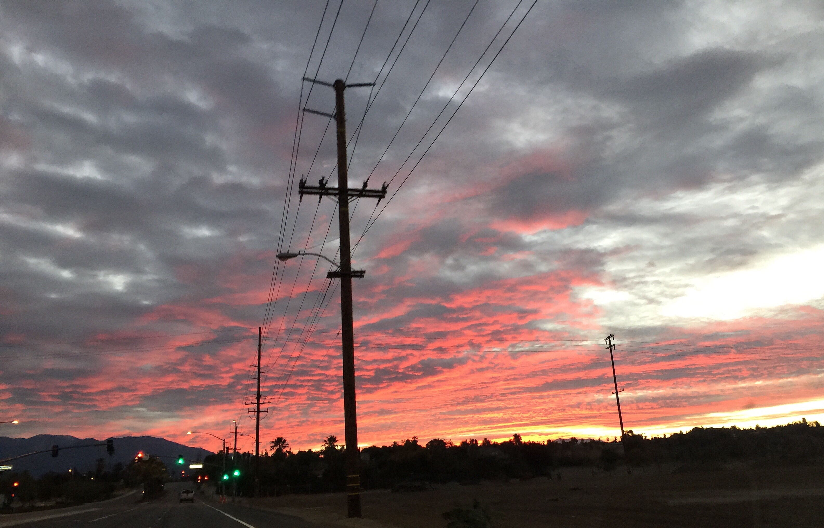
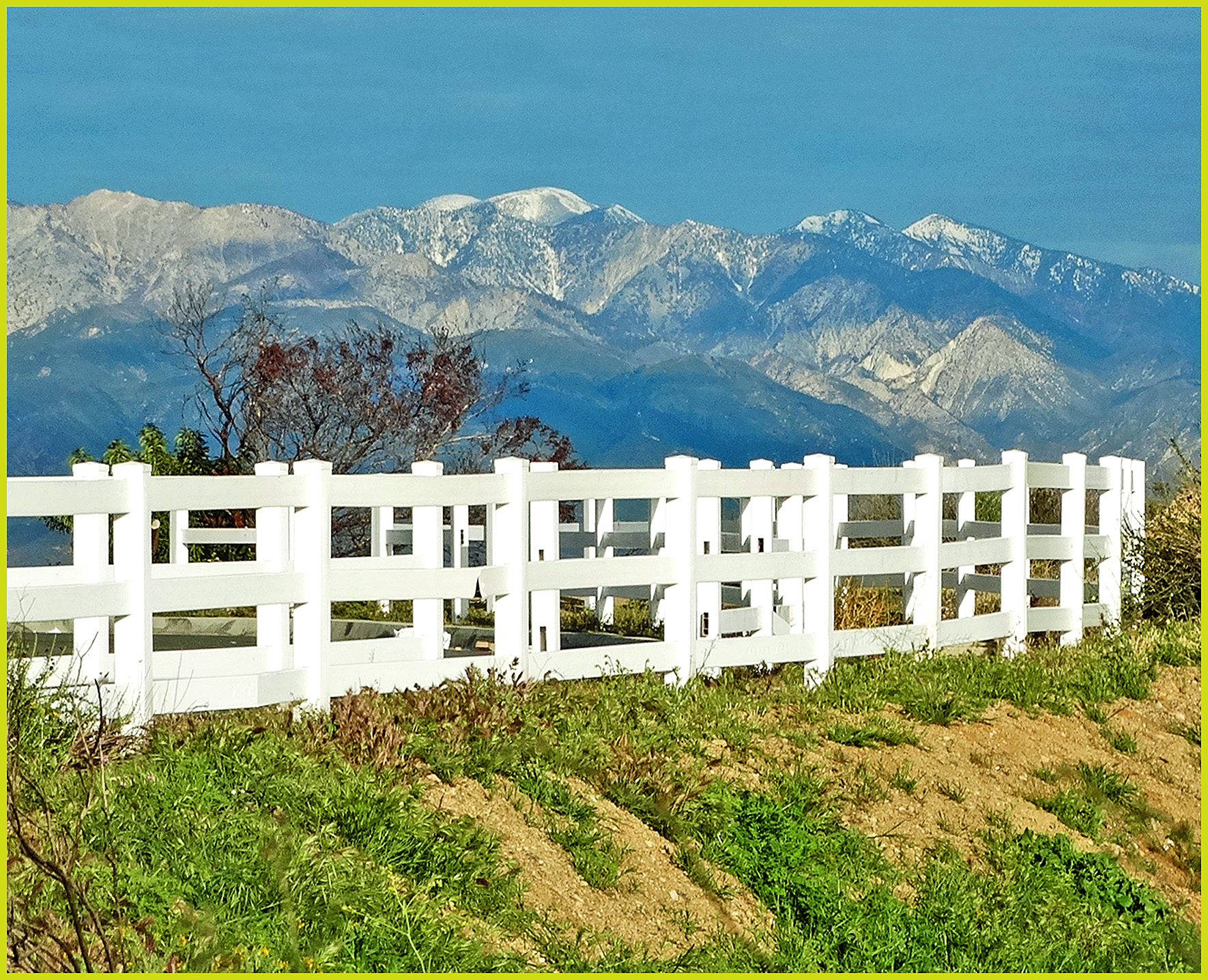
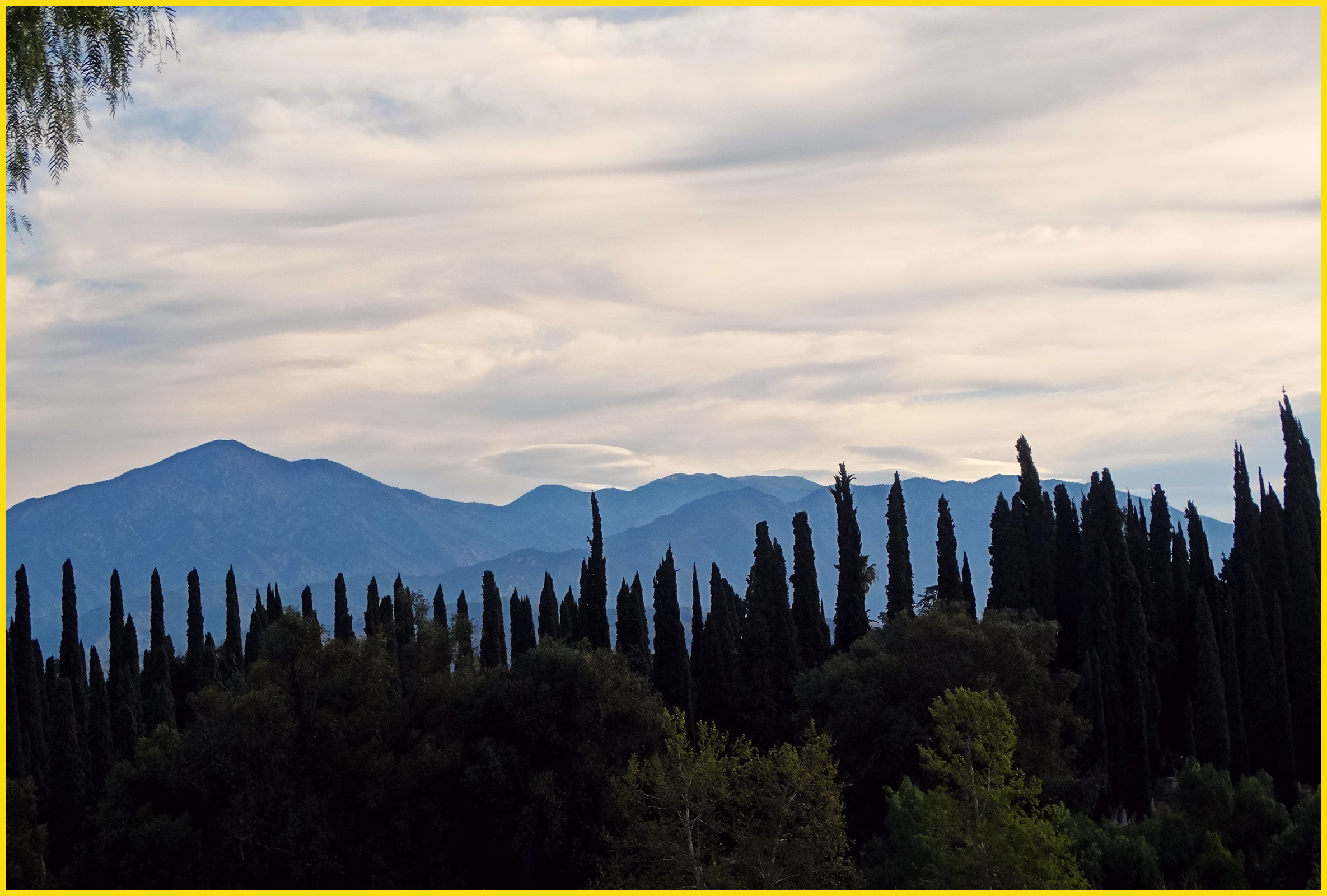
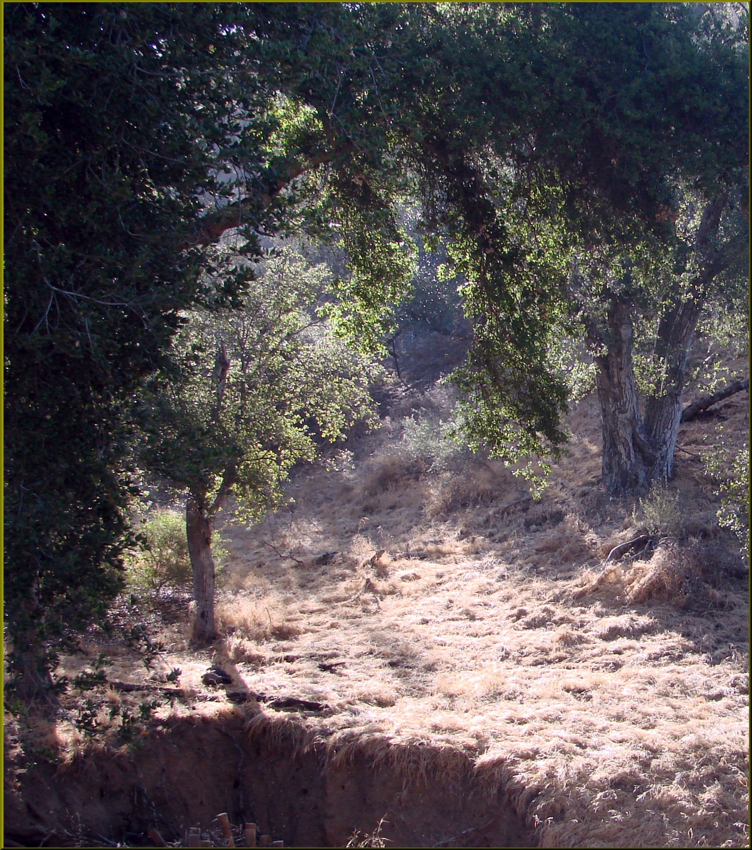
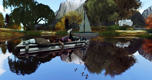
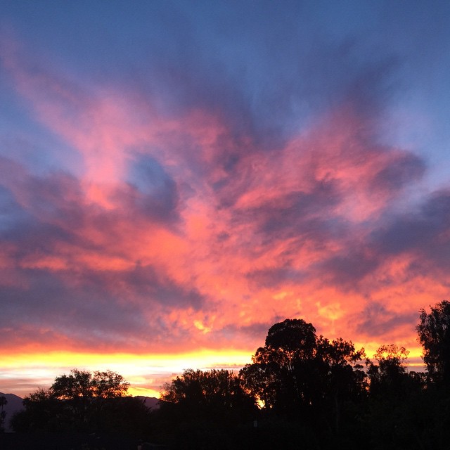
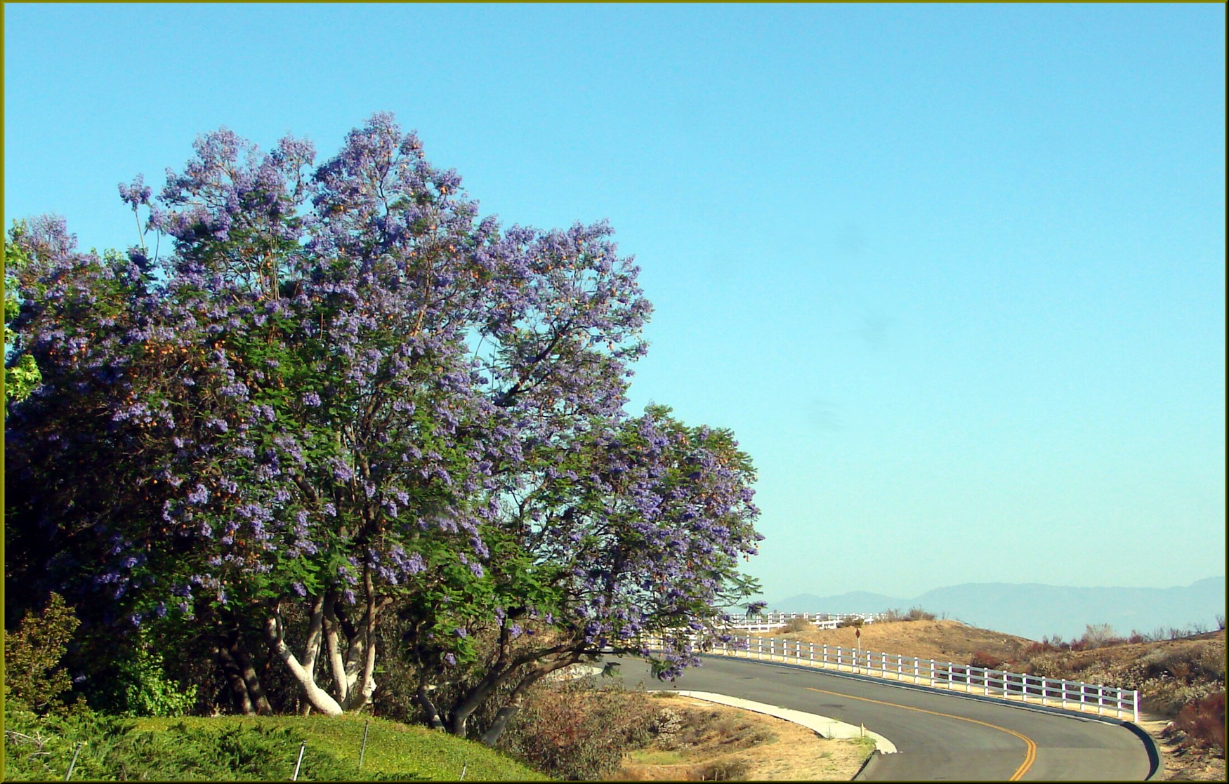
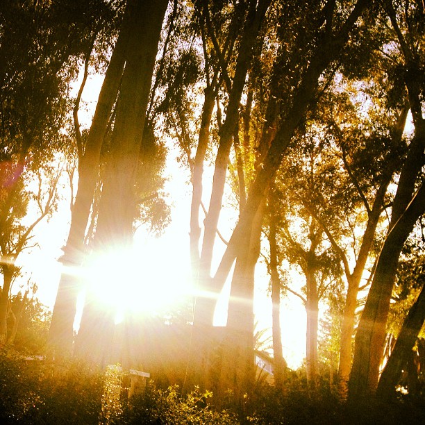
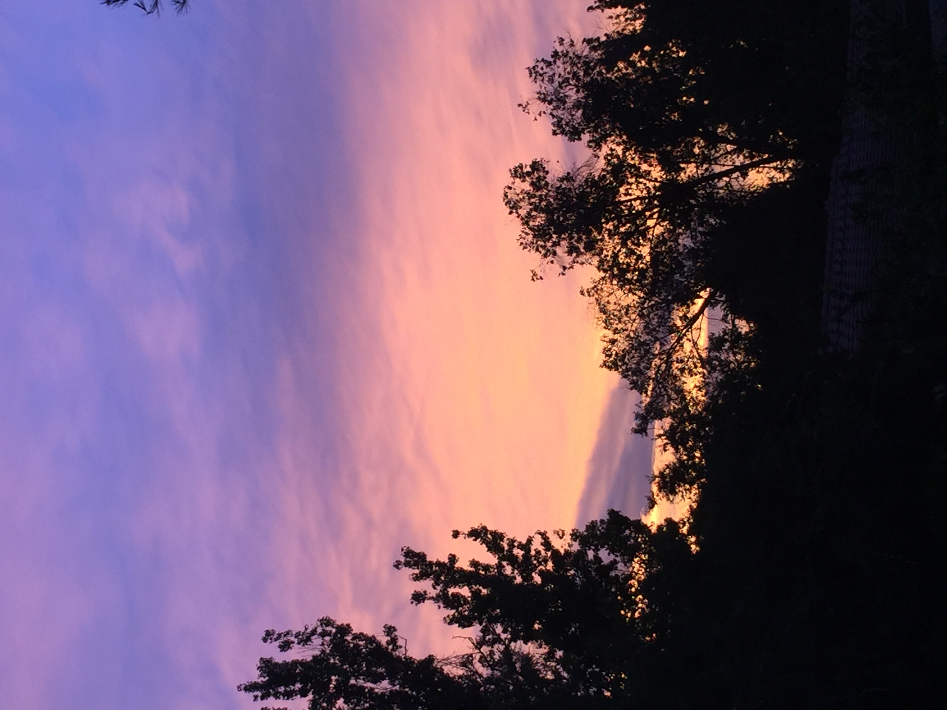
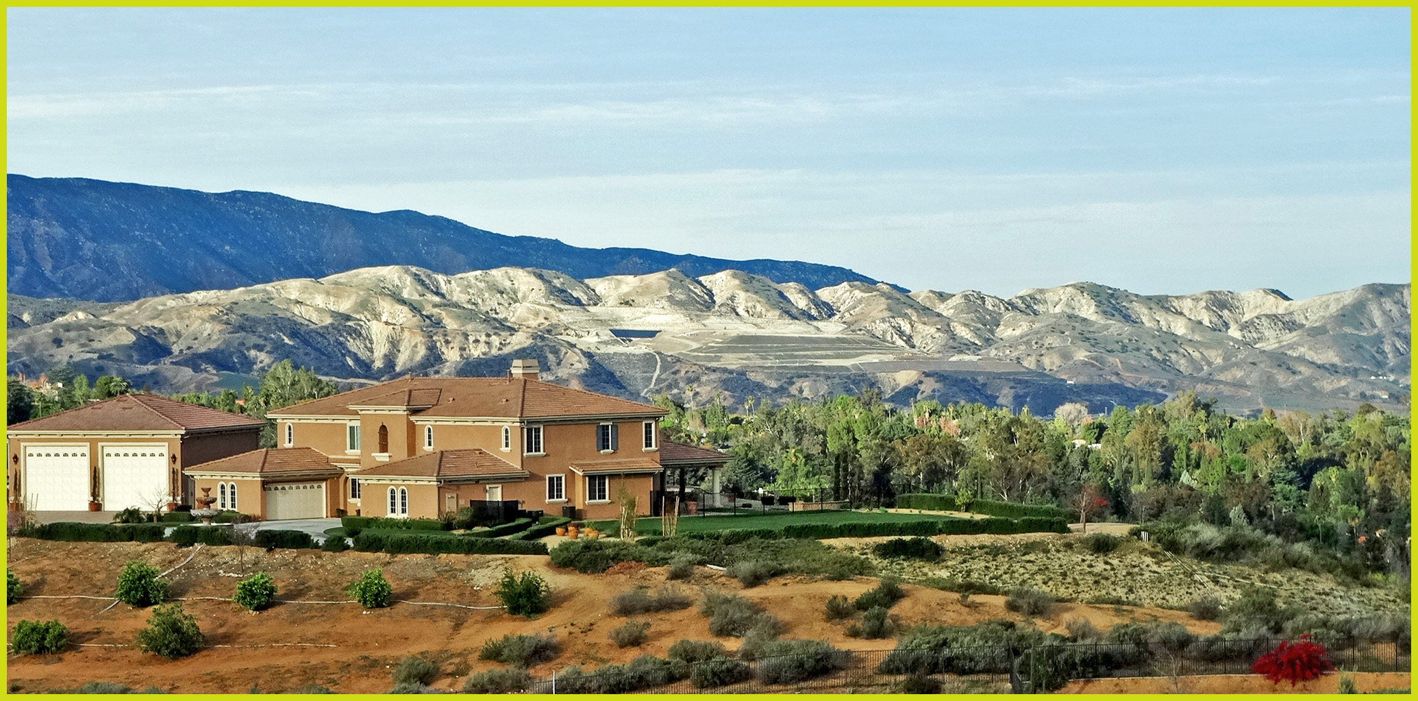
日出日落照片

Islands in the Mist
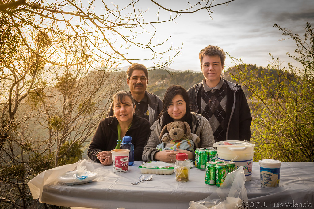
Eating at the Mountains:D
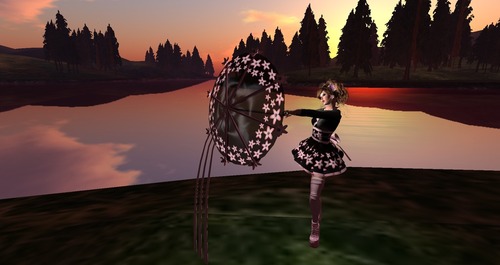
Dancing in the sunset
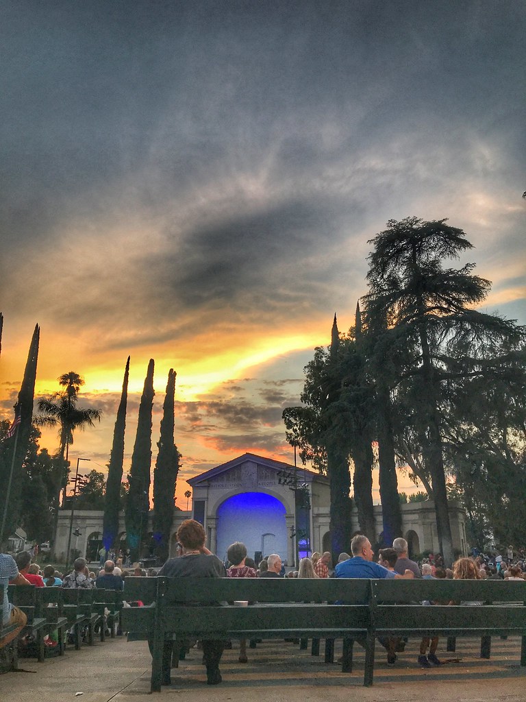
Redlands Bowl Sunset!

Such a lovely sunset. #vscocam
Super Long Shadows
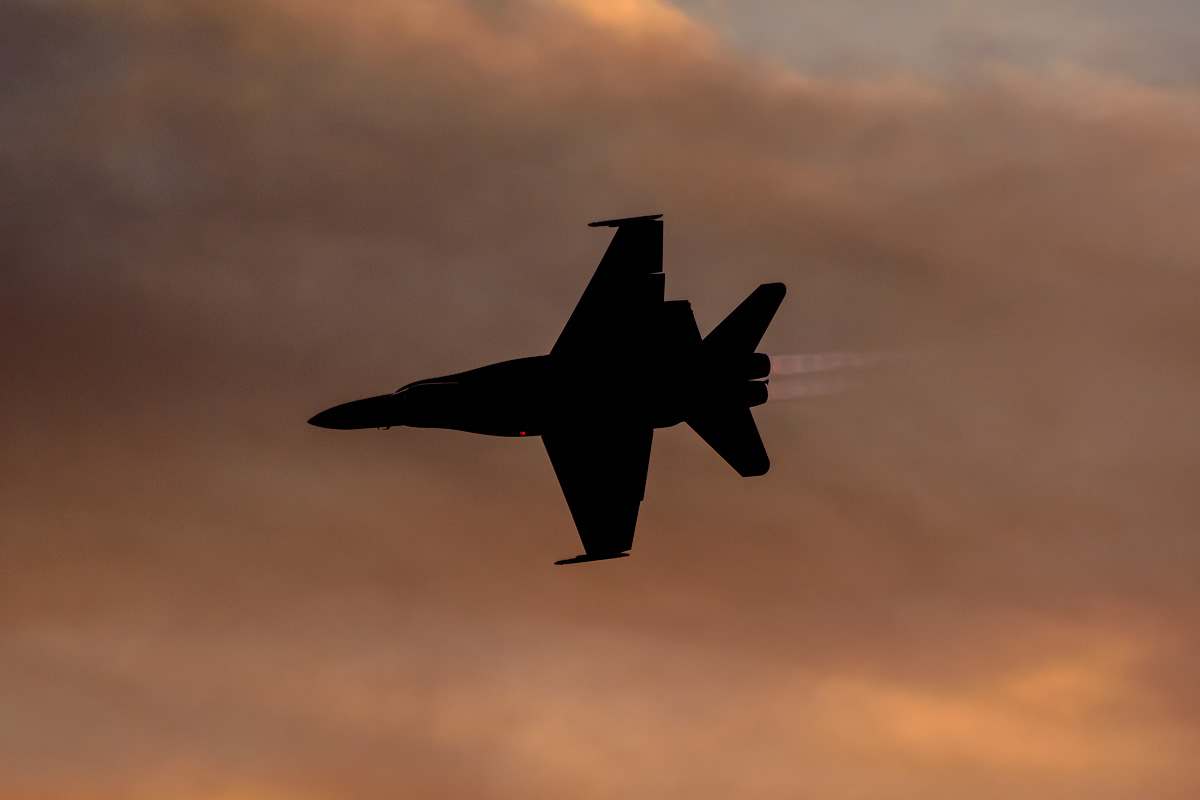
CF-18 Hornet
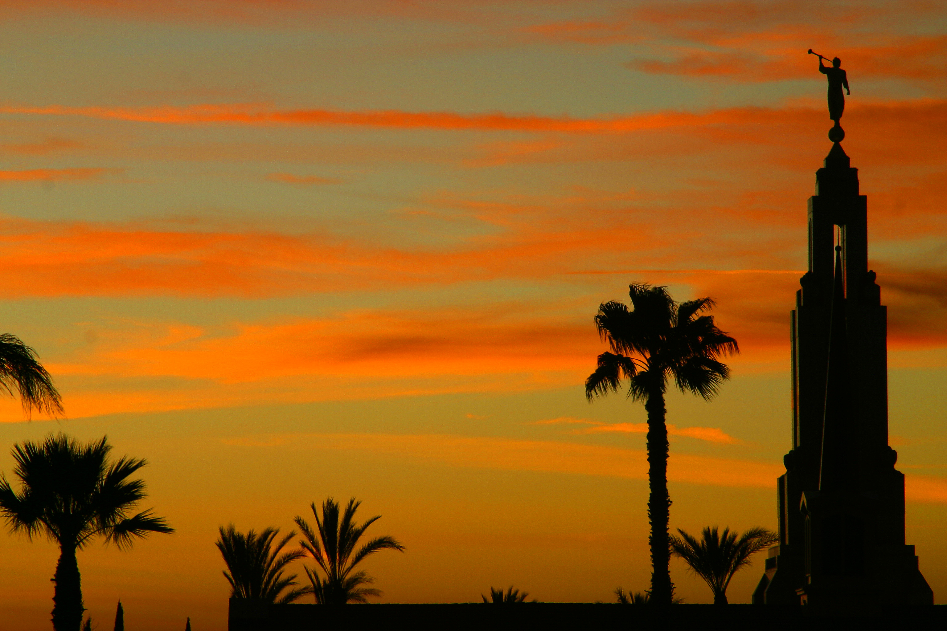
LDS Temple, Redlands
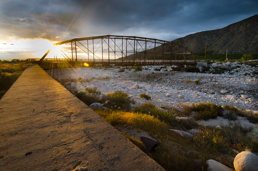
Bridge at Sunset

Jan 5 - Branching Silhouette
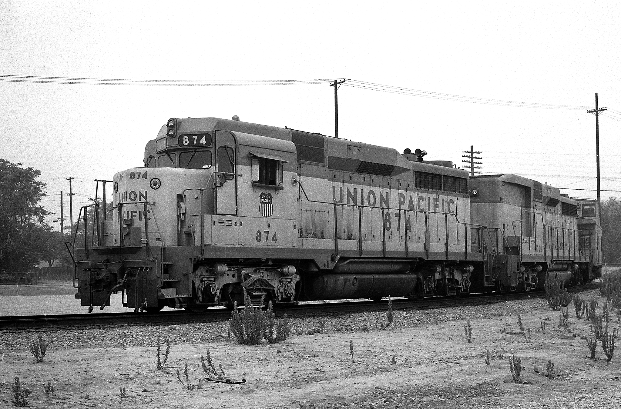
Colton Job

Bridge at Sunset

Lamp post and sunset
After Glow from Pepper Ave. [Explored]
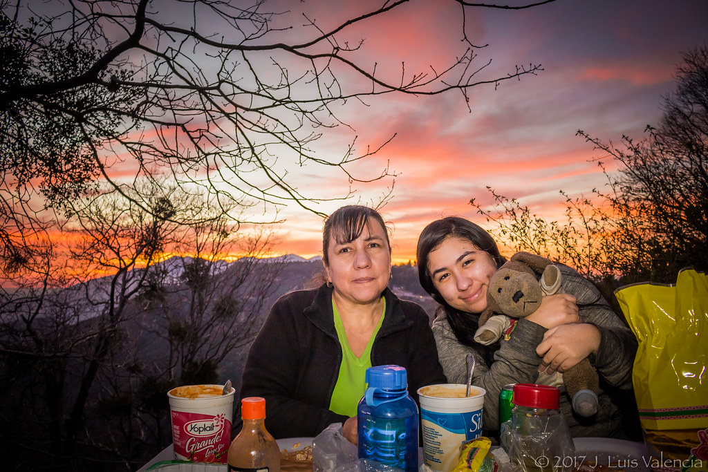
Eating at the Mountains:D

Eating at the Mountains:D
Sunset at Inspiration Point

Eating at the Mountains:D

San Berd Sunset

taste the colors.

All that Remains [Explored]

Redlands, CA
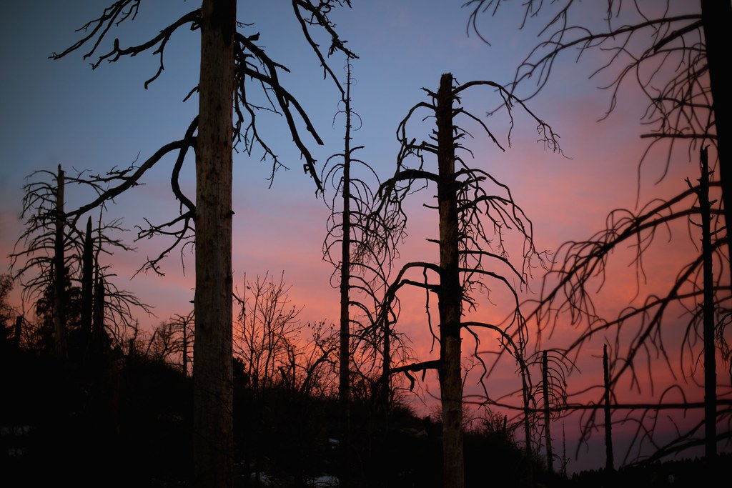
eerie trees
Urban Sunrise
Mt. Baldy from Panorama Pt 3-9-14f
Clouds Over Mountains 2-16-14

Social Gathering, Ford Park, Redlands, CA 8-12
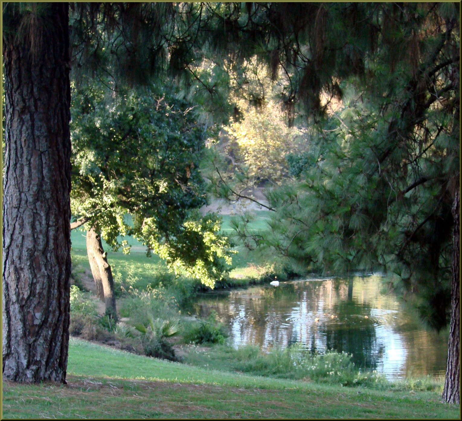
Morning Sun, Oakmont Park 6-16-13

Saturday's #sunrise at the summit of Mt. San Jacinto, near Palm Springs, Southern California's second-highest peak at 10,834 feet. We took the easiest route, 11-miles round trip from the aerial tramway station at 8,500 feet, starting at 3am from Round Val
Another Teqilla Sunrise
Spectacular Sunrise #Redlands #NoFilter

Living Large, Canyon View, Redlands 5-19-13

CTS 8
Panorama Point, Redlands 6-15-13
good morning! #sunrise #redlands #trees #igersredlands #sun #morning #running #instagram #iphoneonly
Ford Park, Lower Pond Sunrise, Redlands, CA 8-12

This Morning Sunrise
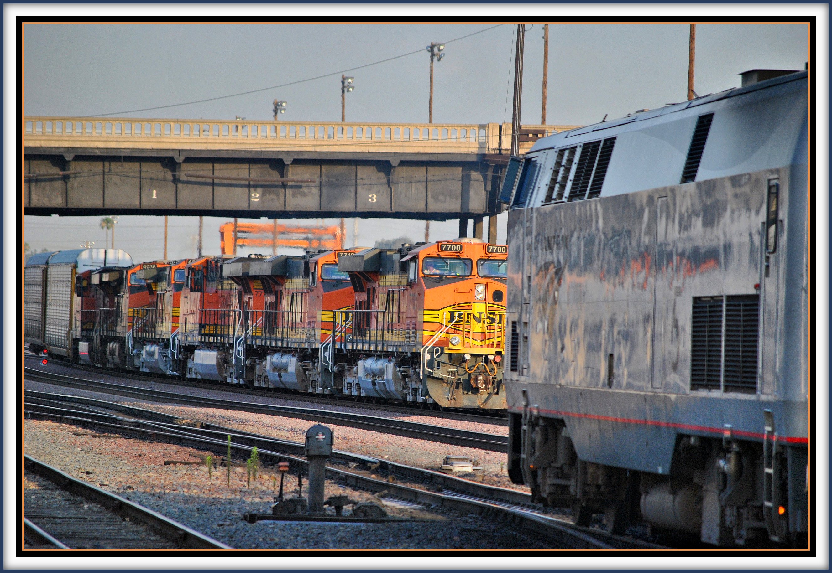
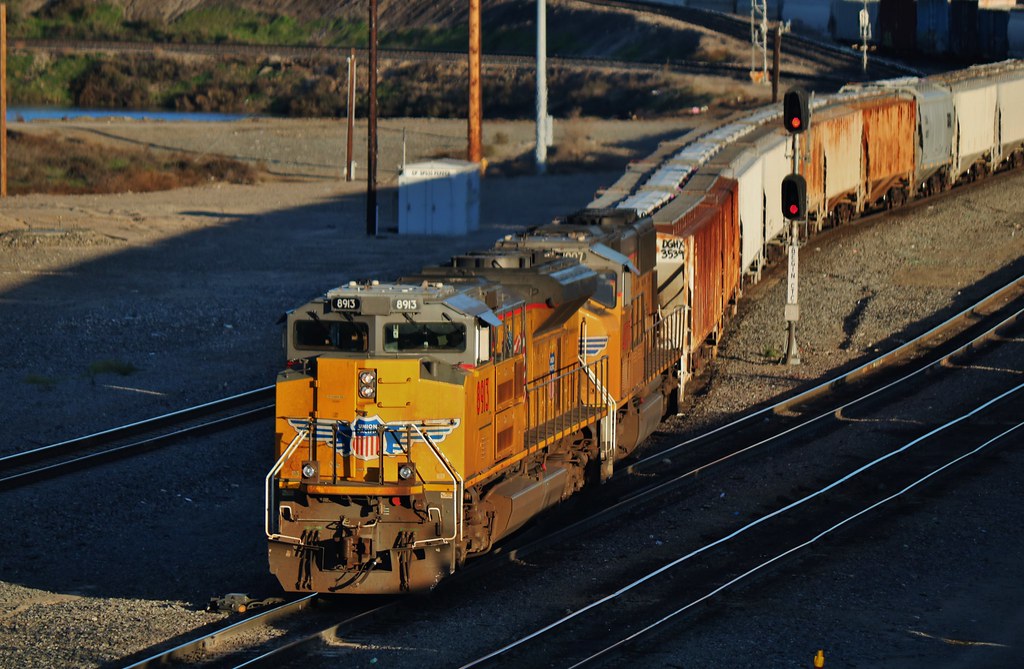
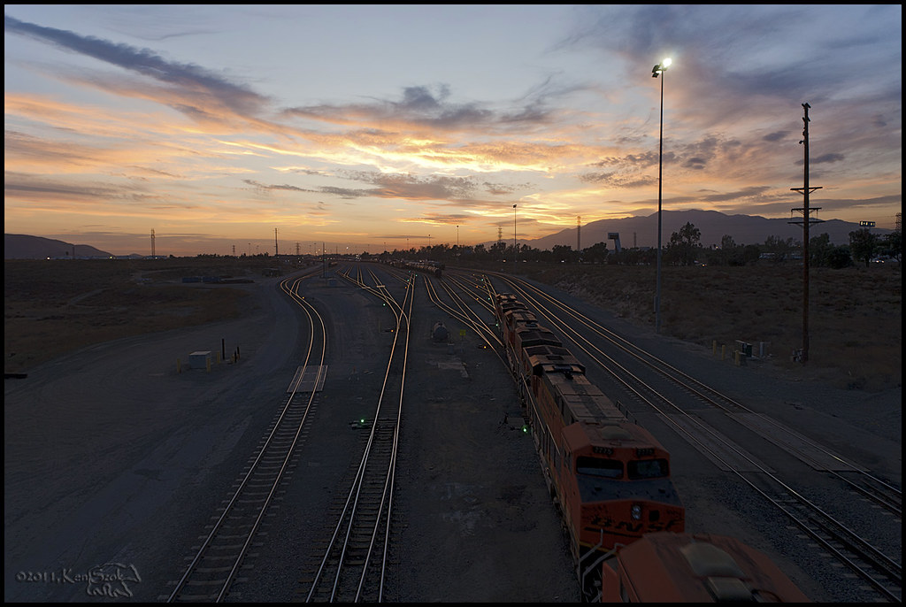
Southwest Chief meets BNSF @ San Bernardino
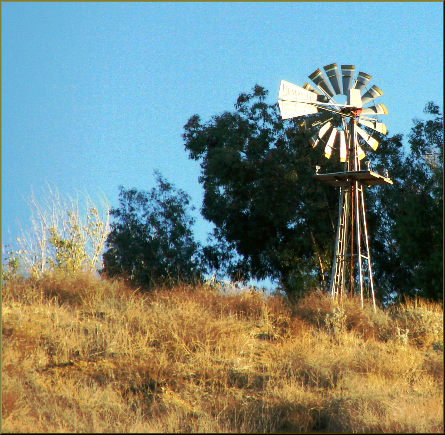
Windmill, Reservoir Rd., Redlands, CA 12-2-12
first early morning run since... I can't remember. either way, too early. 90min ez, 10x1min @ 10k pace w 1 min ez in between, 25min. #running #marathontraining #triathlon #morning #sunrise #orangegroves #redlands #iphoneonly
Sunrise octobre
McMansion, Redlands 3-9-14
Croydon St, Highland, CA 美國的地圖
搜索其他地方的日出日落時間
附近地點
Small Canyon, San Bernardino, CA 美國
Piedmont Dr, Highland, CA 美國
Ridgeview Rd, Highland, CA 美國
N Palm Ave, Highland, CA 美國
La Verne Ave, Highland, CA 美國
Center St, Highland, CA 美國
美國加利福尼亞州海蘭
Highland Historical District, Highland, CA 美國
Grove Ave, Highland, CA 美國
Pasito St, Highland, CA 美國
Amber Hills, San Bernardino, CA 美國
Stratford St, Highland, CA 美國
Pinon Ct N, Highland, CA 美國
Orangewood Rd, Highland, CA 美國
Dover Ct, Highland, CA 美國
Cypress St, Highland, CA 美國
Cypress, Highland, CA 美國
Fleming St, Highland, CA 美國
Cole Ave, Highland, CA 美國
W 5th St, Highland, CA 美國
最近搜索
- Red Dog Mine, AK, USA的日出日落時間表
- Am bhf, Borken, 德國Am Bahnhof的日出日落時間表
- 4th St E, Sonoma, CA 美國的日出日落時間表
- Oakland Ave, Williamsport, PA 美國的日出日落時間表
- Via Roma, Pieranica CR, 義大利的日出日落時間表
- 克羅埃西亞杜布羅夫尼克 GradClock Tower of Dubrovnik的日出日落時間表
- 阿根廷丘布特省特雷利烏的日出日落時間表
- Hartfords Bluff Cir, Mt Pleasant, SC 美國的日出日落時間表
- 日本熊本縣熊本市北區的日出日落時間表
- 中國福州市平潭縣平潭島的日出日落時間表