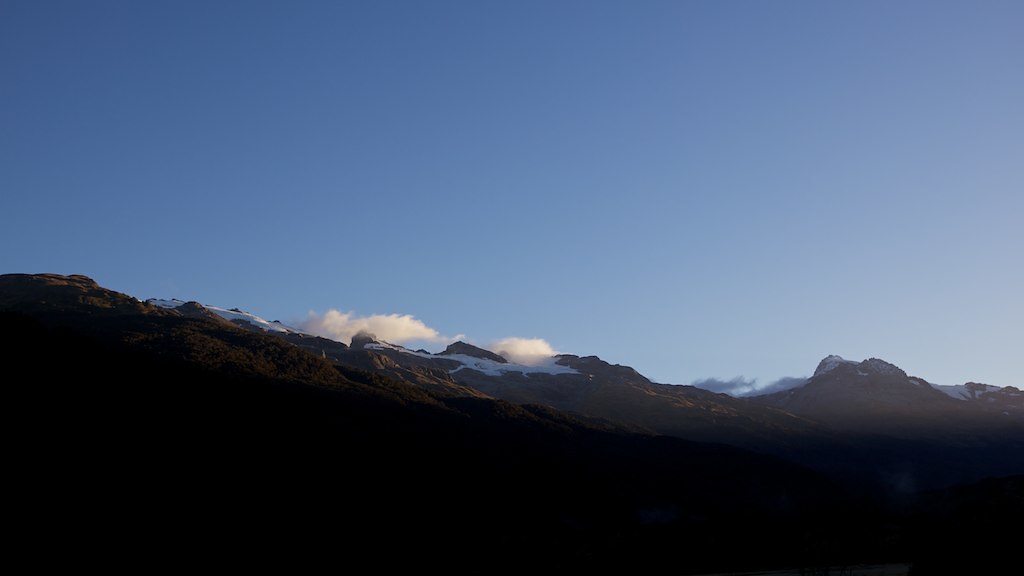
Climax Peak, West Coast 紐西蘭的日出日落時間表
Location: 紐西蘭 > 奧塔戈 > 紐西蘭 >
時區:
Pacific/Auckland
當地時間:
2025-07-10 03:25:22
經度:
168.3649999
緯度:
-44.4566666
今天日出時間:
08:21:16 AM
今天日落時間:
05:22:20 PM
今天日照時長:
9h 1m 4s
明天日出時間:
08:20:48 AM
明天日落時間:
05:23:05 PM
明天日照時長:
9h 2m 17s
顯示所有日期
| 日期 | 日出 | 日落 | 日照時長 |
|---|---|---|---|
| 2025年01月01日 | 06:05:47 AM | 09:34:10 PM | 15h 28m 23s |
| 2025年01月02日 | 06:06:42 AM | 09:34:11 PM | 15h 27m 29s |
| 2025年01月03日 | 06:07:39 AM | 09:34:10 PM | 15h 26m 31s |
| 2025年01月04日 | 06:08:38 AM | 09:34:06 PM | 15h 25m 28s |
| 2025年01月05日 | 06:09:39 AM | 09:33:59 PM | 15h 24m 20s |
| 2025年01月06日 | 06:10:42 AM | 09:33:50 PM | 15h 23m 8s |
| 2025年01月07日 | 06:11:46 AM | 09:33:38 PM | 15h 21m 52s |
| 2025年01月08日 | 06:12:52 AM | 09:33:23 PM | 15h 20m 31s |
| 2025年01月09日 | 06:13:59 AM | 09:33:06 PM | 15h 19m 7s |
| 2025年01月10日 | 06:15:08 AM | 09:32:46 PM | 15h 17m 38s |
| 2025年01月11日 | 06:16:18 AM | 09:32:24 PM | 15h 16m 6s |
| 2025年01月12日 | 06:17:30 AM | 09:31:59 PM | 15h 14m 29s |
| 2025年01月13日 | 06:18:43 AM | 09:31:31 PM | 15h 12m 48s |
| 2025年01月14日 | 06:19:57 AM | 09:31:01 PM | 15h 11m 4s |
| 2025年01月15日 | 06:21:13 AM | 09:30:29 PM | 15h 9m 16s |
| 2025年01月16日 | 06:22:29 AM | 09:29:54 PM | 15h 7m 25s |
| 2025年01月17日 | 06:23:47 AM | 09:29:17 PM | 15h 5m 30s |
| 2025年01月18日 | 06:25:05 AM | 09:28:37 PM | 15h 3m 32s |
| 2025年01月19日 | 06:26:25 AM | 09:27:55 PM | 15h 1m 30s |
| 2025年01月20日 | 06:27:45 AM | 09:27:11 PM | 14h 59m 26s |
| 2025年01月21日 | 06:29:06 AM | 09:26:25 PM | 14h 57m 19s |
| 2025年01月22日 | 06:30:28 AM | 09:25:36 PM | 14h 55m 8s |
| 2025年01月23日 | 06:31:50 AM | 09:24:45 PM | 14h 52m 55s |
| 2025年01月24日 | 06:33:13 AM | 09:23:51 PM | 14h 50m 38s |
| 2025年01月25日 | 06:34:37 AM | 09:22:56 PM | 14h 48m 19s |
| 2025年01月26日 | 06:36:01 AM | 09:21:59 PM | 14h 45m 58s |
| 2025年01月27日 | 06:37:26 AM | 09:20:59 PM | 14h 43m 33s |
| 2025年01月28日 | 06:38:51 AM | 09:19:58 PM | 14h 41m 7s |
| 2025年01月29日 | 06:40:16 AM | 09:18:55 PM | 14h 38m 39s |
| 2025年01月30日 | 06:41:41 AM | 09:17:49 PM | 14h 36m 8s |
| 2025年01月31日 | 06:43:07 AM | 09:16:42 PM | 14h 33m 35s |
| 2025年02月01日 | 06:44:33 AM | 09:15:33 PM | 14h 31m 0s |
| 2025年02月02日 | 06:46:00 AM | 09:14:22 PM | 14h 28m 22s |
| 2025年02月03日 | 06:47:26 AM | 09:13:10 PM | 14h 25m 44s |
| 2025年02月04日 | 06:48:52 AM | 09:11:55 PM | 14h 23m 3s |
| 2025年02月05日 | 06:50:19 AM | 09:10:39 PM | 14h 20m 20s |
| 2025年02月06日 | 06:51:45 AM | 09:09:22 PM | 14h 17m 37s |
| 2025年02月07日 | 06:53:12 AM | 09:08:03 PM | 14h 14m 51s |
| 2025年02月08日 | 06:54:38 AM | 09:06:42 PM | 14h 12m 4s |
| 2025年02月09日 | 06:56:04 AM | 09:05:20 PM | 14h 9m 16s |
| 2025年02月10日 | 06:57:30 AM | 09:03:56 PM | 14h 6m 26s |
| 2025年02月11日 | 06:58:56 AM | 09:02:31 PM | 14h 3m 35s |
| 2025年02月12日 | 07:00:22 AM | 09:01:05 PM | 14h 0m 43s |
| 2025年02月13日 | 07:01:48 AM | 08:59:37 PM | 13h 57m 49s |
| 2025年02月14日 | 07:03:14 AM | 08:58:08 PM | 13h 54m 54s |
| 2025年02月15日 | 07:04:39 AM | 08:56:37 PM | 13h 51m 58s |
| 2025年02月16日 | 07:06:04 AM | 08:55:06 PM | 13h 49m 2s |
| 2025年02月17日 | 07:07:29 AM | 08:53:33 PM | 13h 46m 4s |
| 2025年02月18日 | 07:08:53 AM | 08:52:00 PM | 13h 43m 7s |
| 2025年02月19日 | 07:10:17 AM | 08:50:25 PM | 13h 40m 8s |
| 2025年02月20日 | 07:11:41 AM | 08:48:49 PM | 13h 37m 8s |
| 2025年02月21日 | 07:13:05 AM | 08:47:12 PM | 13h 34m 7s |
| 2025年02月22日 | 07:14:28 AM | 08:45:34 PM | 13h 31m 6s |
| 2025年02月23日 | 07:15:51 AM | 08:43:55 PM | 13h 28m 4s |
| 2025年02月24日 | 07:17:14 AM | 08:42:15 PM | 13h 25m 1s |
| 2025年02月25日 | 07:18:36 AM | 08:40:35 PM | 13h 21m 59s |
| 2025年02月26日 | 07:19:58 AM | 08:38:53 PM | 13h 18m 55s |
| 2025年02月27日 | 07:21:20 AM | 08:37:11 PM | 13h 15m 51s |
| 2025年02月28日 | 07:22:41 AM | 08:35:28 PM | 13h 12m 47s |
| 2025年03月01日 | 07:24:02 AM | 08:33:45 PM | 13h 9m 43s |
| 2025年03月02日 | 07:25:23 AM | 08:32:00 PM | 13h 6m 37s |
| 2025年03月03日 | 07:26:43 AM | 08:30:15 PM | 13h 3m 32s |
| 2025年03月04日 | 07:28:03 AM | 08:28:30 PM | 13h 0m 27s |
| 2025年03月05日 | 07:29:23 AM | 08:26:44 PM | 12h 57m 21s |
| 2025年03月06日 | 07:30:42 AM | 08:24:57 PM | 12h 54m 15s |
| 2025年03月07日 | 07:32:01 AM | 08:23:10 PM | 12h 51m 9s |
| 2025年03月08日 | 07:33:20 AM | 08:21:22 PM | 12h 48m 2s |
| 2025年03月09日 | 07:34:39 AM | 08:19:34 PM | 12h 44m 55s |
| 2025年03月10日 | 07:35:57 AM | 08:17:45 PM | 12h 41m 48s |
| 2025年03月11日 | 07:37:15 AM | 08:15:56 PM | 12h 38m 41s |
| 2025年03月12日 | 07:38:32 AM | 08:14:07 PM | 12h 35m 35s |
| 2025年03月13日 | 07:39:49 AM | 08:12:18 PM | 12h 32m 29s |
| 2025年03月14日 | 07:41:06 AM | 08:10:28 PM | 12h 29m 22s |
| 2025年03月15日 | 07:42:23 AM | 08:08:38 PM | 12h 26m 15s |
| 2025年03月16日 | 07:43:40 AM | 08:06:48 PM | 12h 23m 8s |
| 2025年03月17日 | 07:44:56 AM | 08:04:57 PM | 12h 20m 1s |
| 2025年03月18日 | 07:46:12 AM | 08:03:06 PM | 12h 16m 54s |
| 2025年03月19日 | 07:47:28 AM | 08:01:16 PM | 12h 13m 48s |
| 2025年03月20日 | 07:48:43 AM | 07:59:25 PM | 12h 10m 42s |
| 2025年03月21日 | 07:49:58 AM | 07:57:34 PM | 12h 7m 36s |
| 2025年03月22日 | 07:51:14 AM | 07:55:43 PM | 12h 4m 29s |
| 2025年03月23日 | 07:52:29 AM | 07:53:52 PM | 12h 1m 23s |
| 2025年03月24日 | 07:53:43 AM | 07:52:01 PM | 11h 58m 18s |
| 2025年03月25日 | 07:54:58 AM | 07:50:11 PM | 11h 55m 13s |
| 2025年03月26日 | 07:56:12 AM | 07:48:20 PM | 11h 52m 8s |
| 2025年03月27日 | 07:57:27 AM | 07:46:29 PM | 11h 49m 2s |
| 2025年03月28日 | 07:58:41 AM | 07:44:39 PM | 11h 45m 58s |
| 2025年03月29日 | 07:59:55 AM | 07:42:49 PM | 11h 42m 54s |
| 2025年03月30日 | 08:01:09 AM | 07:40:59 PM | 11h 39m 50s |
| 2025年03月31日 | 08:02:23 AM | 07:39:09 PM | 11h 36m 46s |
| 2025年04月01日 | 08:03:36 AM | 07:37:20 PM | 11h 33m 44s |
| 2025年04月02日 | 08:04:50 AM | 07:35:31 PM | 11h 30m 41s |
| 2025年04月03日 | 08:06:04 AM | 07:33:42 PM | 11h 27m 38s |
| 2025年04月04日 | 08:07:17 AM | 07:31:53 PM | 11h 24m 36s |
| 2025年04月05日 | 08:08:30 AM | 07:30:05 PM | 11h 21m 35s |
| 2025年04月06日 | 07:09:47 AM | 06:28:13 PM | 11h 18m 26s |
| 2025年04月06日 | 07:09:47 AM | 06:28:13 PM | 11h 18m 26s |
| 2025年04月07日 | 07:11:00 AM | 06:26:26 PM | 11h 15m 26s |
| 2025年04月08日 | 07:12:13 AM | 06:24:40 PM | 11h 12m 27s |
| 2025年04月09日 | 07:13:26 AM | 06:22:54 PM | 11h 9m 28s |
| 2025年04月10日 | 07:14:39 AM | 06:21:08 PM | 11h 6m 29s |
| 2025年04月11日 | 07:15:53 AM | 06:19:23 PM | 11h 3m 30s |
| 2025年04月12日 | 07:17:05 AM | 06:17:39 PM | 11h 0m 34s |
| 2025年04月13日 | 07:18:18 AM | 06:15:55 PM | 10h 57m 37s |
| 2025年04月14日 | 07:19:31 AM | 06:14:13 PM | 10h 54m 42s |
| 2025年04月15日 | 07:20:44 AM | 06:12:30 PM | 10h 51m 46s |
| 2025年04月16日 | 07:21:57 AM | 06:10:49 PM | 10h 48m 52s |
| 2025年04月17日 | 07:23:10 AM | 06:09:08 PM | 10h 45m 58s |
| 2025年04月18日 | 07:24:22 AM | 06:07:28 PM | 10h 43m 6s |
| 2025年04月19日 | 07:25:35 AM | 06:05:49 PM | 10h 40m 14s |
| 2025年04月20日 | 07:26:48 AM | 06:04:11 PM | 10h 37m 23s |
| 2025年04月21日 | 07:28:00 AM | 06:02:34 PM | 10h 34m 34s |
| 2025年04月22日 | 07:29:13 AM | 06:00:58 PM | 10h 31m 45s |
| 2025年04月23日 | 07:30:25 AM | 05:59:23 PM | 10h 28m 58s |
| 2025年04月24日 | 07:31:37 AM | 05:57:49 PM | 10h 26m 12s |
| 2025年04月25日 | 07:32:49 AM | 05:56:15 PM | 10h 23m 26s |
| 2025年04月26日 | 07:34:01 AM | 05:54:43 PM | 10h 20m 42s |
| 2025年04月27日 | 07:35:13 AM | 05:53:12 PM | 10h 17m 59s |
| 2025年04月28日 | 07:36:25 AM | 05:51:43 PM | 10h 15m 18s |
| 2025年04月29日 | 07:37:36 AM | 05:50:14 PM | 10h 12m 38s |
| 2025年04月30日 | 07:38:48 AM | 05:48:47 PM | 10h 9m 59s |
| 2025年05月01日 | 07:39:59 AM | 05:47:20 PM | 10h 7m 21s |
| 2025年05月02日 | 07:41:10 AM | 05:45:56 PM | 10h 4m 46s |
| 2025年05月03日 | 07:42:21 AM | 05:44:32 PM | 10h 2m 11s |
| 2025年05月04日 | 07:43:31 AM | 05:43:10 PM | 9h 59m 39s |
| 2025年05月05日 | 07:44:42 AM | 05:41:49 PM | 9h 57m 7s |
| 2025年05月06日 | 07:45:51 AM | 05:40:30 PM | 9h 54m 39s |
| 2025年05月07日 | 07:47:01 AM | 05:39:12 PM | 9h 52m 11s |
| 2025年05月08日 | 07:48:10 AM | 05:37:55 PM | 9h 49m 45s |
| 2025年05月09日 | 07:49:19 AM | 05:36:40 PM | 9h 47m 21s |
| 2025年05月10日 | 07:50:28 AM | 05:35:27 PM | 9h 44m 59s |
| 2025年05月11日 | 07:51:36 AM | 05:34:15 PM | 9h 42m 39s |
| 2025年05月12日 | 07:52:43 AM | 05:33:05 PM | 9h 40m 22s |
| 2025年05月13日 | 07:53:50 AM | 05:31:57 PM | 9h 38m 7s |
| 2025年05月14日 | 07:54:56 AM | 05:30:50 PM | 9h 35m 54s |
| 2025年05月15日 | 07:56:02 AM | 05:29:45 PM | 9h 33m 43s |
| 2025年05月16日 | 07:57:08 AM | 05:28:42 PM | 9h 31m 34s |
| 2025年05月17日 | 07:58:12 AM | 05:27:40 PM | 9h 29m 28s |
| 2025年05月18日 | 07:59:16 AM | 05:26:41 PM | 9h 27m 25s |
| 2025年05月19日 | 08:00:19 AM | 05:25:43 PM | 9h 25m 24s |
| 2025年05月20日 | 08:01:21 AM | 05:24:47 PM | 9h 23m 26s |
| 2025年05月21日 | 08:02:23 AM | 05:23:53 PM | 9h 21m 30s |
| 2025年05月22日 | 08:03:24 AM | 05:23:01 PM | 9h 19m 37s |
| 2025年05月23日 | 08:04:23 AM | 05:22:10 PM | 9h 17m 47s |
| 2025年05月24日 | 08:05:22 AM | 05:21:22 PM | 9h 16m 0s |
| 2025年05月25日 | 08:06:20 AM | 05:20:36 PM | 9h 14m 16s |
| 2025年05月26日 | 08:07:17 AM | 05:19:52 PM | 9h 12m 35s |
| 2025年05月27日 | 08:08:12 AM | 05:19:10 PM | 9h 10m 58s |
| 2025年05月28日 | 08:09:07 AM | 05:18:30 PM | 9h 9m 23s |
| 2025年05月29日 | 08:10:00 AM | 05:17:52 PM | 9h 7m 52s |
| 2025年05月30日 | 08:10:52 AM | 05:17:16 PM | 9h 6m 24s |
| 2025年05月31日 | 08:11:43 AM | 05:16:42 PM | 9h 4m 59s |
| 2025年06月01日 | 08:12:33 AM | 05:16:10 PM | 9h 3m 37s |
| 2025年06月02日 | 08:13:21 AM | 05:15:41 PM | 9h 2m 20s |
| 2025年06月03日 | 08:14:08 AM | 05:15:14 PM | 9h 1m 6s |
| 2025年06月04日 | 08:14:53 AM | 05:14:49 PM | 8h 59m 56s |
| 2025年06月05日 | 08:15:37 AM | 05:14:26 PM | 8h 58m 49s |
| 2025年06月06日 | 08:16:19 AM | 05:14:05 PM | 8h 57m 46s |
| 2025年06月07日 | 08:17:00 AM | 05:13:47 PM | 8h 56m 47s |
| 2025年06月08日 | 08:17:39 AM | 05:13:30 PM | 8h 55m 51s |
| 2025年06月09日 | 08:18:16 AM | 05:13:16 PM | 8h 55m 0s |
| 2025年06月10日 | 08:18:52 AM | 05:13:04 PM | 8h 54m 12s |
| 2025年06月11日 | 08:19:26 AM | 05:12:55 PM | 8h 53m 29s |
| 2025年06月12日 | 08:19:58 AM | 05:12:47 PM | 8h 52m 49s |
| 2025年06月13日 | 08:20:28 AM | 05:12:42 PM | 8h 52m 14s |
| 2025年06月14日 | 08:20:56 AM | 05:12:39 PM | 8h 51m 43s |
| 2025年06月15日 | 08:21:23 AM | 05:12:38 PM | 8h 51m 15s |
| 2025年06月16日 | 08:21:47 AM | 05:12:39 PM | 8h 50m 52s |
| 2025年06月17日 | 08:22:10 AM | 05:12:43 PM | 8h 50m 33s |
| 2025年06月18日 | 08:22:30 AM | 05:12:48 PM | 8h 50m 18s |
| 2025年06月19日 | 08:22:49 AM | 05:12:56 PM | 8h 50m 7s |
| 2025年06月20日 | 08:23:05 AM | 05:13:06 PM | 8h 50m 1s |
| 2025年06月21日 | 08:23:19 AM | 05:13:18 PM | 8h 49m 59s |
| 2025年06月22日 | 08:23:32 AM | 05:13:32 PM | 8h 50m 0s |
| 2025年06月23日 | 08:23:42 AM | 05:13:48 PM | 8h 50m 6s |
| 2025年06月24日 | 08:23:49 AM | 05:14:06 PM | 8h 50m 17s |
| 2025年06月25日 | 08:23:55 AM | 05:14:26 PM | 8h 50m 31s |
| 2025年06月26日 | 08:23:59 AM | 05:14:47 PM | 8h 50m 48s |
| 2025年06月27日 | 08:24:00 AM | 05:15:11 PM | 8h 51m 11s |
| 2025年06月28日 | 08:23:59 AM | 05:15:37 PM | 8h 51m 38s |
| 2025年06月29日 | 08:23:56 AM | 05:16:04 PM | 8h 52m 8s |
| 2025年06月30日 | 08:23:50 AM | 05:16:34 PM | 8h 52m 44s |
| 2025年07月01日 | 08:23:43 AM | 05:17:05 PM | 8h 53m 22s |
| 2025年07月02日 | 08:23:33 AM | 05:17:38 PM | 8h 54m 5s |
| 2025年07月03日 | 08:23:21 AM | 05:18:12 PM | 8h 54m 51s |
| 2025年07月04日 | 08:23:06 AM | 05:18:48 PM | 8h 55m 42s |
| 2025年07月05日 | 08:22:49 AM | 05:19:26 PM | 8h 56m 37s |
| 2025年07月06日 | 08:22:30 AM | 05:20:06 PM | 8h 57m 36s |
| 2025年07月07日 | 08:22:09 AM | 05:20:46 PM | 8h 58m 37s |
| 2025年07月08日 | 08:21:46 AM | 05:21:29 PM | 8h 59m 43s |
| 2025年07月09日 | 08:21:20 AM | 05:22:13 PM | 9h 0m 53s |
| 2025年07月10日 | 08:20:52 AM | 05:22:58 PM | 9h 2m 6s |
| 2025年07月11日 | 08:20:22 AM | 05:23:44 PM | 9h 3m 22s |
| 2025年07月12日 | 08:19:50 AM | 05:24:32 PM | 9h 4m 42s |
| 2025年07月13日 | 08:19:16 AM | 05:25:21 PM | 9h 6m 5s |
| 2025年07月14日 | 08:18:39 AM | 05:26:11 PM | 9h 7m 32s |
| 2025年07月15日 | 08:18:01 AM | 05:27:03 PM | 9h 9m 2s |
| 2025年07月16日 | 08:17:20 AM | 05:27:55 PM | 9h 10m 35s |
| 2025年07月17日 | 08:16:37 AM | 05:28:49 PM | 9h 12m 12s |
| 2025年07月18日 | 08:15:52 AM | 05:29:43 PM | 9h 13m 51s |
| 2025年07月19日 | 08:15:05 AM | 05:30:39 PM | 9h 15m 34s |
| 2025年07月20日 | 08:14:16 AM | 05:31:35 PM | 9h 17m 19s |
| 2025年07月21日 | 08:13:25 AM | 05:32:33 PM | 9h 19m 8s |
| 2025年07月22日 | 08:12:32 AM | 05:33:31 PM | 9h 20m 59s |
| 2025年07月23日 | 08:11:37 AM | 05:34:30 PM | 9h 22m 53s |
| 2025年07月24日 | 08:10:40 AM | 05:35:29 PM | 9h 24m 49s |
| 2025年07月25日 | 08:09:41 AM | 05:36:30 PM | 9h 26m 49s |
| 2025年07月26日 | 08:08:40 AM | 05:37:31 PM | 9h 28m 51s |
| 2025年07月27日 | 08:07:38 AM | 05:38:33 PM | 9h 30m 55s |
| 2025年07月28日 | 08:06:34 AM | 05:39:35 PM | 9h 33m 1s |
| 2025年07月29日 | 08:05:28 AM | 05:40:38 PM | 9h 35m 10s |
| 2025年07月30日 | 08:04:20 AM | 05:41:41 PM | 9h 37m 21s |
| 2025年07月31日 | 08:03:10 AM | 05:42:45 PM | 9h 39m 35s |
| 2025年08月01日 | 08:01:59 AM | 05:43:50 PM | 9h 41m 51s |
| 2025年08月02日 | 08:00:46 AM | 05:44:54 PM | 9h 44m 8s |
| 2025年08月03日 | 07:59:32 AM | 05:46:00 PM | 9h 46m 28s |
| 2025年08月04日 | 07:58:16 AM | 05:47:05 PM | 9h 48m 49s |
| 2025年08月05日 | 07:56:59 AM | 05:48:11 PM | 9h 51m 12s |
| 2025年08月06日 | 07:55:40 AM | 05:49:17 PM | 9h 53m 37s |
| 2025年08月07日 | 07:54:19 AM | 05:50:24 PM | 9h 56m 5s |
| 2025年08月08日 | 07:52:57 AM | 05:51:30 PM | 9h 58m 33s |
| 2025年08月09日 | 07:51:34 AM | 05:52:37 PM | 10h 1m 3s |
| 2025年08月10日 | 07:50:09 AM | 05:53:44 PM | 10h 3m 35s |
| 2025年08月11日 | 07:48:43 AM | 05:54:52 PM | 10h 6m 9s |
| 2025年08月12日 | 07:47:16 AM | 05:55:59 PM | 10h 8m 43s |
| 2025年08月13日 | 07:45:47 AM | 05:57:07 PM | 10h 11m 20s |
| 2025年08月14日 | 07:44:17 AM | 05:58:15 PM | 10h 13m 58s |
| 2025年08月15日 | 07:42:46 AM | 05:59:23 PM | 10h 16m 37s |
| 2025年08月16日 | 07:41:14 AM | 06:00:31 PM | 10h 19m 17s |
| 2025年08月17日 | 07:39:41 AM | 06:01:39 PM | 10h 21m 58s |
| 2025年08月18日 | 07:38:07 AM | 06:02:47 PM | 10h 24m 40s |
| 2025年08月19日 | 07:36:31 AM | 06:03:55 PM | 10h 27m 24s |
| 2025年08月20日 | 07:34:55 AM | 06:05:03 PM | 10h 30m 8s |
| 2025年08月21日 | 07:33:17 AM | 06:06:12 PM | 10h 32m 55s |
| 2025年08月22日 | 07:31:39 AM | 06:07:20 PM | 10h 35m 41s |
| 2025年08月23日 | 07:29:59 AM | 06:08:28 PM | 10h 38m 29s |
| 2025年08月24日 | 07:28:19 AM | 06:09:37 PM | 10h 41m 18s |
| 2025年08月25日 | 07:26:38 AM | 06:10:45 PM | 10h 44m 7s |
| 2025年08月26日 | 07:24:56 AM | 06:11:54 PM | 10h 46m 58s |
| 2025年08月27日 | 07:23:13 AM | 06:13:02 PM | 10h 49m 49s |
| 2025年08月28日 | 07:21:29 AM | 06:14:11 PM | 10h 52m 42s |
| 2025年08月29日 | 07:19:45 AM | 06:15:19 PM | 10h 55m 34s |
| 2025年08月30日 | 07:18:00 AM | 06:16:28 PM | 10h 58m 28s |
| 2025年08月31日 | 07:16:14 AM | 06:17:36 PM | 11h 1m 22s |
| 2025年09月01日 | 07:14:28 AM | 06:18:45 PM | 11h 4m 17s |
| 2025年09月02日 | 07:12:41 AM | 06:19:53 PM | 11h 7m 12s |
| 2025年09月03日 | 07:10:54 AM | 06:21:02 PM | 11h 10m 8s |
| 2025年09月04日 | 07:09:06 AM | 06:22:11 PM | 11h 13m 5s |
| 2025年09月05日 | 07:07:17 AM | 06:23:19 PM | 11h 16m 2s |
| 2025年09月06日 | 07:05:28 AM | 06:24:28 PM | 11h 19m 0s |
| 2025年09月07日 | 07:03:38 AM | 06:25:37 PM | 11h 21m 59s |
| 2025年09月08日 | 07:01:48 AM | 06:26:45 PM | 11h 24m 57s |
| 2025年09月09日 | 06:59:58 AM | 06:27:54 PM | 11h 27m 56s |
| 2025年09月10日 | 06:58:07 AM | 06:29:03 PM | 11h 30m 56s |
| 2025年09月11日 | 06:56:16 AM | 06:30:12 PM | 11h 33m 56s |
| 2025年09月12日 | 06:54:25 AM | 06:31:21 PM | 11h 36m 56s |
| 2025年09月13日 | 06:52:33 AM | 06:32:30 PM | 11h 39m 57s |
| 2025年09月14日 | 06:50:41 AM | 06:33:39 PM | 11h 42m 58s |
| 2025年09月15日 | 06:48:49 AM | 06:34:49 PM | 11h 46m 0s |
| 2025年09月16日 | 06:46:57 AM | 06:35:58 PM | 11h 49m 1s |
| 2025年09月17日 | 06:45:04 AM | 06:37:08 PM | 11h 52m 4s |
| 2025年09月18日 | 06:43:12 AM | 06:38:17 PM | 11h 55m 5s |
| 2025年09月19日 | 06:41:19 AM | 06:39:27 PM | 11h 58m 8s |
| 2025年09月20日 | 06:39:26 AM | 06:40:37 PM | 12h 1m 11s |
| 2025年09月21日 | 06:37:34 AM | 06:41:47 PM | 12h 4m 13s |
| 2025年09月22日 | 06:35:41 AM | 06:42:58 PM | 12h 7m 17s |
| 2025年09月23日 | 06:33:48 AM | 06:44:08 PM | 12h 10m 20s |
| 2025年09月24日 | 06:31:55 AM | 06:45:19 PM | 12h 13m 24s |
| 2025年09月25日 | 06:30:03 AM | 06:46:30 PM | 12h 16m 27s |
| 2025年09月26日 | 06:28:10 AM | 06:47:41 PM | 12h 19m 31s |
| 2025年09月27日 | 06:26:18 AM | 06:48:53 PM | 12h 22m 35s |
| 2025年09月29日 | 07:22:38 AM | 07:51:13 PM | 12h 28m 35s |
| 2025年09月30日 | 07:20:46 AM | 07:52:25 PM | 12h 31m 39s |
| 2025年10月01日 | 07:18:55 AM | 07:53:38 PM | 12h 34m 43s |
| 2025年10月02日 | 07:17:03 AM | 07:54:50 PM | 12h 37m 47s |
| 2025年10月03日 | 07:15:12 AM | 07:56:03 PM | 12h 40m 51s |
| 2025年10月04日 | 07:13:22 AM | 07:57:17 PM | 12h 43m 55s |
| 2025年10月05日 | 07:11:32 AM | 07:58:30 PM | 12h 46m 58s |
| 2025年10月06日 | 07:09:42 AM | 07:59:44 PM | 12h 50m 2s |
| 2025年10月07日 | 07:07:53 AM | 08:00:59 PM | 12h 53m 6s |
| 2025年10月08日 | 07:06:04 AM | 08:02:13 PM | 12h 56m 9s |
| 2025年10月09日 | 07:04:16 AM | 08:03:28 PM | 12h 59m 12s |
| 2025年10月10日 | 07:02:28 AM | 08:04:43 PM | 13h 2m 15s |
| 2025年10月11日 | 07:00:41 AM | 08:05:59 PM | 13h 5m 18s |
| 2025年10月12日 | 06:58:54 AM | 08:07:15 PM | 13h 8m 21s |
| 2025年10月13日 | 06:57:08 AM | 08:08:31 PM | 13h 11m 23s |
| 2025年10月14日 | 06:55:23 AM | 08:09:48 PM | 13h 14m 25s |
| 2025年10月15日 | 06:53:39 AM | 08:11:05 PM | 13h 17m 26s |
| 2025年10月16日 | 06:51:55 AM | 08:12:22 PM | 13h 20m 27s |
| 2025年10月17日 | 06:50:12 AM | 08:13:40 PM | 13h 23m 28s |
| 2025年10月18日 | 06:48:30 AM | 08:14:58 PM | 13h 26m 28s |
| 2025年10月19日 | 06:46:49 AM | 08:16:16 PM | 13h 29m 27s |
| 2025年10月20日 | 06:45:08 AM | 08:17:35 PM | 13h 32m 27s |
| 2025年10月21日 | 06:43:29 AM | 08:18:54 PM | 13h 35m 25s |
| 2025年10月22日 | 06:41:51 AM | 08:20:14 PM | 13h 38m 23s |
| 2025年10月23日 | 06:40:13 AM | 08:21:34 PM | 13h 41m 21s |
| 2025年10月24日 | 06:38:37 AM | 08:22:54 PM | 13h 44m 17s |
| 2025年10月25日 | 06:37:02 AM | 08:24:14 PM | 13h 47m 12s |
| 2025年10月26日 | 06:35:28 AM | 08:25:35 PM | 13h 50m 7s |
| 2025年10月27日 | 06:33:55 AM | 08:26:56 PM | 13h 53m 1s |
| 2025年10月28日 | 06:32:23 AM | 08:28:17 PM | 13h 55m 54s |
| 2025年10月29日 | 06:30:53 AM | 08:29:39 PM | 13h 58m 46s |
| 2025年10月30日 | 06:29:24 AM | 08:31:01 PM | 14h 1m 37s |
| 2025年10月31日 | 06:27:56 AM | 08:32:23 PM | 14h 4m 27s |
| 2025年11月01日 | 06:26:29 AM | 08:33:45 PM | 14h 7m 16s |
| 2025年11月02日 | 06:25:04 AM | 08:35:07 PM | 14h 10m 3s |
| 2025年11月03日 | 06:23:41 AM | 08:36:30 PM | 14h 12m 49s |
| 2025年11月04日 | 06:22:19 AM | 08:37:53 PM | 14h 15m 34s |
| 2025年11月05日 | 06:20:58 AM | 08:39:15 PM | 14h 18m 17s |
| 2025年11月06日 | 06:19:39 AM | 08:40:38 PM | 14h 20m 59s |
| 2025年11月07日 | 06:18:22 AM | 08:42:01 PM | 14h 23m 39s |
| 2025年11月08日 | 06:17:06 AM | 08:43:24 PM | 14h 26m 18s |
| 2025年11月09日 | 06:15:52 AM | 08:44:47 PM | 14h 28m 55s |
| 2025年11月10日 | 06:14:40 AM | 08:46:10 PM | 14h 31m 30s |
| 2025年11月11日 | 06:13:30 AM | 08:47:33 PM | 14h 34m 3s |
| 2025年11月12日 | 06:12:21 AM | 08:48:55 PM | 14h 36m 34s |
| 2025年11月13日 | 06:11:15 AM | 08:50:18 PM | 14h 39m 3s |
| 2025年11月14日 | 06:10:10 AM | 08:51:40 PM | 14h 41m 30s |
| 2025年11月15日 | 06:09:07 AM | 08:53:02 PM | 14h 43m 55s |
| 2025年11月16日 | 06:08:06 AM | 08:54:23 PM | 14h 46m 17s |
| 2025年11月17日 | 06:07:08 AM | 08:55:45 PM | 14h 48m 37s |
| 2025年11月18日 | 06:06:11 AM | 08:57:06 PM | 14h 50m 55s |
| 2025年11月19日 | 06:05:16 AM | 08:58:26 PM | 14h 53m 10s |
| 2025年11月20日 | 06:04:24 AM | 08:59:46 PM | 14h 55m 22s |
| 2025年11月21日 | 06:03:34 AM | 09:01:05 PM | 14h 57m 31s |
| 2025年11月22日 | 06:02:46 AM | 09:02:23 PM | 14h 59m 37s |
| 2025年11月23日 | 06:02:01 AM | 09:03:41 PM | 15h 1m 40s |
| 2025年11月24日 | 06:01:18 AM | 09:04:58 PM | 15h 3m 40s |
| 2025年11月25日 | 06:00:37 AM | 09:06:15 PM | 15h 5m 38s |
| 2025年11月26日 | 05:59:58 AM | 09:07:30 PM | 15h 7m 32s |
| 2025年11月27日 | 05:59:22 AM | 09:08:44 PM | 15h 9m 22s |
| 2025年11月28日 | 05:58:49 AM | 09:09:58 PM | 15h 11m 9s |
| 2025年11月29日 | 05:58:18 AM | 09:11:10 PM | 15h 12m 52s |
| 2025年11月30日 | 05:57:49 AM | 09:12:21 PM | 15h 14m 32s |
| 2025年12月01日 | 05:57:23 AM | 09:13:31 PM | 15h 16m 8s |
| 2025年12月02日 | 05:57:00 AM | 09:14:40 PM | 15h 17m 40s |
| 2025年12月03日 | 05:56:39 AM | 09:15:47 PM | 15h 19m 8s |
| 2025年12月04日 | 05:56:21 AM | 09:16:53 PM | 15h 20m 32s |
| 2025年12月05日 | 05:56:05 AM | 09:17:58 PM | 15h 21m 53s |
| 2025年12月06日 | 05:55:52 AM | 09:19:01 PM | 15h 23m 9s |
| 2025年12月07日 | 05:55:42 AM | 09:20:02 PM | 15h 24m 20s |
| 2025年12月08日 | 05:55:34 AM | 09:21:01 PM | 15h 25m 27s |
| 2025年12月09日 | 05:55:29 AM | 09:21:59 PM | 15h 26m 30s |
| 2025年12月10日 | 05:55:27 AM | 09:22:55 PM | 15h 27m 28s |
| 2025年12月11日 | 05:55:28 AM | 09:23:50 PM | 15h 28m 22s |
| 2025年12月12日 | 05:55:31 AM | 09:24:42 PM | 15h 29m 11s |
| 2025年12月13日 | 05:55:37 AM | 09:25:32 PM | 15h 29m 55s |
| 2025年12月14日 | 05:55:45 AM | 09:26:20 PM | 15h 30m 35s |
| 2025年12月15日 | 05:55:56 AM | 09:27:07 PM | 15h 31m 11s |
| 2025年12月16日 | 05:56:10 AM | 09:27:51 PM | 15h 31m 41s |
| 2025年12月17日 | 05:56:27 AM | 09:28:32 PM | 15h 32m 5s |
| 2025年12月18日 | 05:56:46 AM | 09:29:12 PM | 15h 32m 26s |
| 2025年12月19日 | 05:57:08 AM | 09:29:49 PM | 15h 32m 41s |
| 2025年12月20日 | 05:57:32 AM | 09:30:24 PM | 15h 32m 52s |
| 2025年12月21日 | 05:57:59 AM | 09:30:57 PM | 15h 32m 58s |
| 2025年12月22日 | 05:58:29 AM | 09:31:27 PM | 15h 32m 58s |
| 2025年12月23日 | 05:59:01 AM | 09:31:55 PM | 15h 32m 54s |
| 2025年12月24日 | 05:59:35 AM | 09:32:20 PM | 15h 32m 45s |
| 2025年12月25日 | 06:00:12 AM | 09:32:43 PM | 15h 32m 31s |
| 2025年12月26日 | 06:00:51 AM | 09:33:03 PM | 15h 32m 12s |
| 2025年12月27日 | 06:01:33 AM | 09:33:20 PM | 15h 31m 47s |
| 2025年12月28日 | 06:02:17 AM | 09:33:35 PM | 15h 31m 18s |
| 2025年12月29日 | 06:03:03 AM | 09:33:48 PM | 15h 30m 45s |
| 2025年12月30日 | 06:03:51 AM | 09:33:58 PM | 15h 30m 7s |
| 2025年12月31日 | 06:04:42 AM | 09:34:05 PM | 15h 29m 23s |
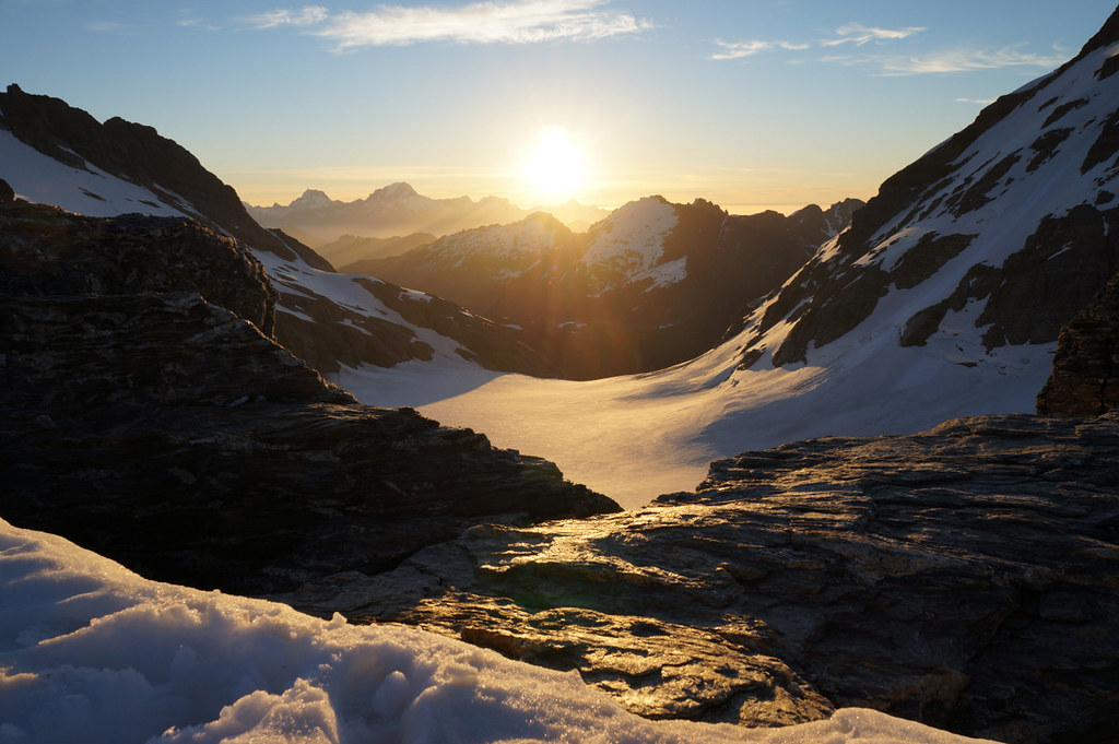
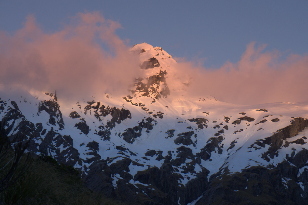
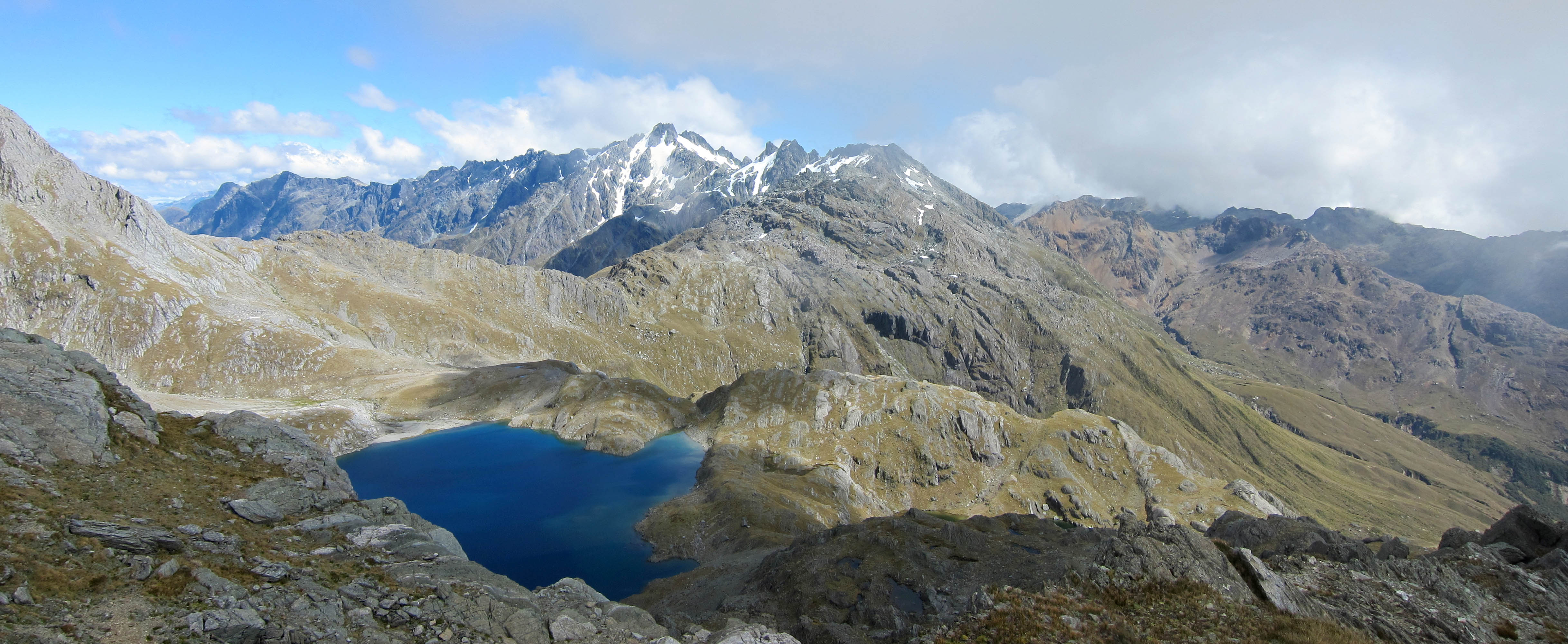
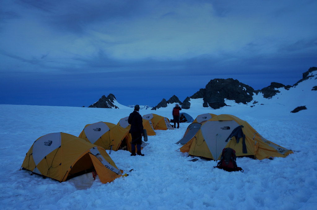
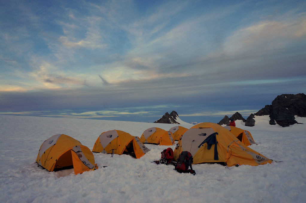
日出日落照片
end of day 1 - barrier col, olivine ice plateau
last light on intervention

forgotten river col

tutoko to pembroke
View from below Sunset Peak
camp2 after sunset
camp 2 before sunset
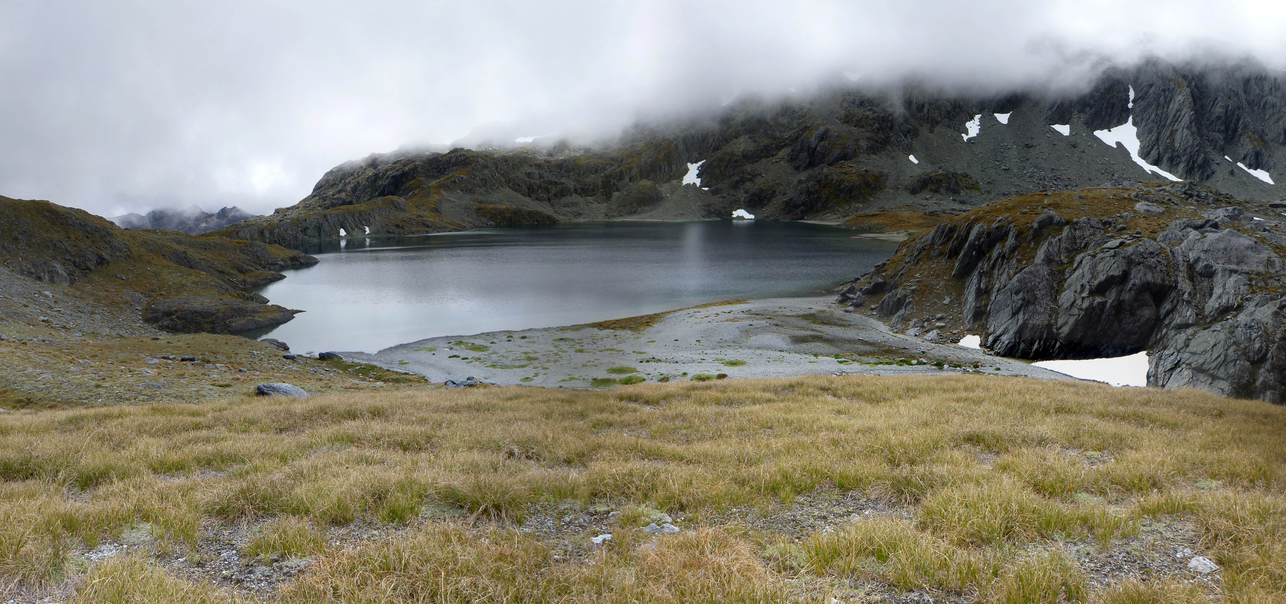
Fohn Lake

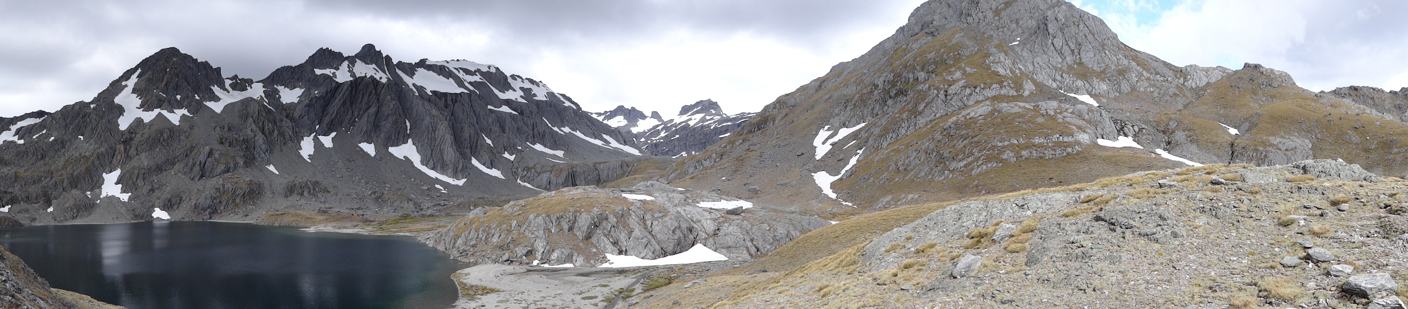
View NW from below Fohn Saddle
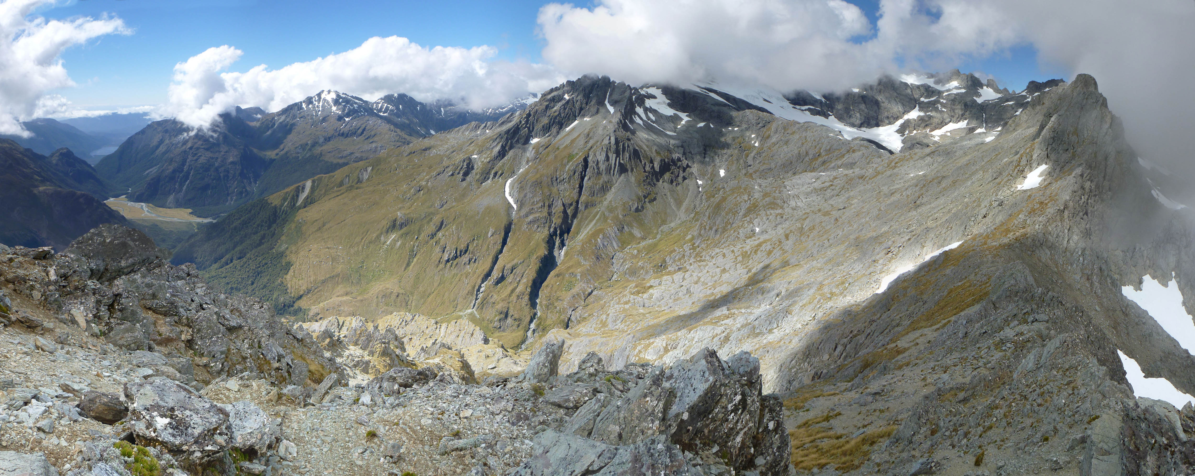
From Sunset Peak to Mt Fohn
From Sunset Peak
Sun hit the tops
Climax Peak, West Coast 紐西蘭的地圖
搜索其他地方的日出日落時間
附近地點
新西蘭奥塔哥厄恩斯洛山
HP Skippers Range, Southland 紐西蘭
Westland District, West Coast, 紐西蘭
Mount Edward, West Coast 紐西蘭
Ionia, West Coast 紐西蘭
Headlong Peak, West Coast 紐西蘭
Somnus, West Coast 紐西蘭
Glenorchy-Paradise Rd, Dunedin & Districts, Queenstown 新西蘭Paradise Trust
Centaur Peaks, Otago 紐西蘭
Routeburn Rd, Kinloch 新西蘭Routeburn Shelter Parking
Mount Alfred, Otago 新西蘭
Routeburn Track, Mount Aspiring National Park 新西蘭Routeburn Falls Hut
Jamestown, 紐西蘭
Hollyford Track, Fiordland National Park 新西蘭
48 Nereus Way, Rees Valley, Glenorchy 新西蘭Precipice Creek Station Bed and Breakfast
Mount Madeline, Southland 紐西蘭
Routeburn Track, 紐西蘭
紐西蘭西海岸阿斯帕林山
Mount Tutoko, Southland 紐西蘭
新西蘭金洛赫
最近搜索
- Red Dog Mine, AK, USA的日出日落時間表
- Am bhf, Borken, 德國Am Bahnhof的日出日落時間表
- 4th St E, Sonoma, CA 美國的日出日落時間表
- Oakland Ave, Williamsport, PA 美國的日出日落時間表
- Via Roma, Pieranica CR, 義大利的日出日落時間表
- 克羅埃西亞杜布羅夫尼克 GradClock Tower of Dubrovnik的日出日落時間表
- 阿根廷丘布特省特雷利烏的日出日落時間表
- Hartfords Bluff Cir, Mt Pleasant, SC 美國的日出日落時間表
- 日本熊本縣熊本市北區的日出日落時間表
- 中國福州市平潭縣平潭島的日出日落時間表