Chemin St Norbert, Saint-Norbert, NB E4S 2R8加拿大的日出日落時間表
Location: 加拿大 > 新不倫瑞克 > 加拿大 > 加拿大 > 加拿大新不伦瑞克省圣诺伯特E4S 2S8 >
時區:
America/Halifax
當地時間:
2025-07-15 05:12:52
經度:
-64.9962549
緯度:
46.4710779
今天日出時間:
05:42:54 AM
今天日落時間:
09:09:12 PM
今天日照時長:
15h 26m 18s
明天日出時間:
05:43:54 AM
明天日落時間:
09:08:23 PM
明天日照時長:
15h 24m 29s
顯示所有日期
| 日期 | 日出 | 日落 | 日照時長 |
|---|---|---|---|
| 2025年01月01日 | 08:03:34 AM | 04:44:33 PM | 8h 40m 59s |
| 2025年01月02日 | 08:03:30 AM | 04:45:32 PM | 8h 42m 2s |
| 2025年01月03日 | 08:03:24 AM | 04:46:33 PM | 8h 43m 9s |
| 2025年01月04日 | 08:03:15 AM | 04:47:36 PM | 8h 44m 21s |
| 2025年01月05日 | 08:03:03 AM | 04:48:41 PM | 8h 45m 38s |
| 2025年01月06日 | 08:02:48 AM | 04:49:47 PM | 8h 46m 59s |
| 2025年01月07日 | 08:02:30 AM | 04:50:56 PM | 8h 48m 26s |
| 2025年01月08日 | 08:02:10 AM | 04:52:06 PM | 8h 49m 56s |
| 2025年01月09日 | 08:01:47 AM | 04:53:17 PM | 8h 51m 30s |
| 2025年01月10日 | 08:01:22 AM | 04:54:30 PM | 8h 53m 8s |
| 2025年01月11日 | 08:00:54 AM | 04:55:45 PM | 8h 54m 51s |
| 2025年01月12日 | 08:00:23 AM | 04:57:01 PM | 8h 56m 38s |
| 2025年01月13日 | 07:59:50 AM | 04:58:18 PM | 8h 58m 28s |
| 2025年01月14日 | 07:59:14 AM | 04:59:36 PM | 9h 0m 22s |
| 2025年01月15日 | 07:58:35 AM | 05:00:56 PM | 9h 2m 21s |
| 2025年01月16日 | 07:57:54 AM | 05:02:17 PM | 9h 4m 23s |
| 2025年01月17日 | 07:57:11 AM | 05:03:38 PM | 9h 6m 27s |
| 2025年01月18日 | 07:56:25 AM | 05:05:01 PM | 9h 8m 36s |
| 2025年01月19日 | 07:55:37 AM | 05:06:25 PM | 9h 10m 48s |
| 2025年01月20日 | 07:54:47 AM | 05:07:49 PM | 9h 13m 2s |
| 2025年01月21日 | 07:53:54 AM | 05:09:15 PM | 9h 15m 21s |
| 2025年01月22日 | 07:52:59 AM | 05:10:40 PM | 9h 17m 41s |
| 2025年01月23日 | 07:52:01 AM | 05:12:07 PM | 9h 20m 6s |
| 2025年01月24日 | 07:51:02 AM | 05:13:34 PM | 9h 22m 32s |
| 2025年01月25日 | 07:50:00 AM | 05:15:02 PM | 9h 25m 2s |
| 2025年01月26日 | 07:48:56 AM | 05:16:31 PM | 9h 27m 35s |
| 2025年01月27日 | 07:47:51 AM | 05:17:59 PM | 9h 30m 8s |
| 2025年01月28日 | 07:46:43 AM | 05:19:28 PM | 9h 32m 45s |
| 2025年01月29日 | 07:45:33 AM | 05:20:58 PM | 9h 35m 25s |
| 2025年01月30日 | 07:44:21 AM | 05:22:28 PM | 9h 38m 7s |
| 2025年01月31日 | 07:43:08 AM | 05:23:58 PM | 9h 40m 50s |
| 2025年02月01日 | 07:41:52 AM | 05:25:28 PM | 9h 43m 36s |
| 2025年02月02日 | 07:40:35 AM | 05:26:59 PM | 9h 46m 24s |
| 2025年02月03日 | 07:39:16 AM | 05:28:29 PM | 9h 49m 13s |
| 2025年02月04日 | 07:37:55 AM | 05:30:00 PM | 9h 52m 5s |
| 2025年02月05日 | 07:36:32 AM | 05:31:31 PM | 9h 54m 59s |
| 2025年02月06日 | 07:35:08 AM | 05:33:02 PM | 9h 57m 54s |
| 2025年02月07日 | 07:33:43 AM | 05:34:32 PM | 10h 0m 49s |
| 2025年02月08日 | 07:32:15 AM | 05:36:03 PM | 10h 3m 48s |
| 2025年02月09日 | 07:30:47 AM | 05:37:34 PM | 10h 6m 47s |
| 2025年02月10日 | 07:29:16 AM | 05:39:04 PM | 10h 9m 48s |
| 2025年02月11日 | 07:27:45 AM | 05:40:35 PM | 10h 12m 50s |
| 2025年02月12日 | 07:26:12 AM | 05:42:05 PM | 10h 15m 53s |
| 2025年02月13日 | 07:24:37 AM | 05:43:36 PM | 10h 18m 59s |
| 2025年02月14日 | 07:23:02 AM | 05:45:06 PM | 10h 22m 4s |
| 2025年02月15日 | 07:21:25 AM | 05:46:36 PM | 10h 25m 11s |
| 2025年02月16日 | 07:19:47 AM | 05:48:05 PM | 10h 28m 18s |
| 2025年02月17日 | 07:18:08 AM | 05:49:35 PM | 10h 31m 27s |
| 2025年02月18日 | 07:16:27 AM | 05:51:04 PM | 10h 34m 37s |
| 2025年02月19日 | 07:14:46 AM | 05:52:33 PM | 10h 37m 47s |
| 2025年02月20日 | 07:13:03 AM | 05:54:02 PM | 10h 40m 59s |
| 2025年02月21日 | 07:11:20 AM | 05:55:30 PM | 10h 44m 10s |
| 2025年02月22日 | 07:09:35 AM | 05:56:58 PM | 10h 47m 23s |
| 2025年02月23日 | 07:07:50 AM | 05:58:26 PM | 10h 50m 36s |
| 2025年02月24日 | 07:06:04 AM | 05:59:54 PM | 10h 53m 50s |
| 2025年02月25日 | 07:04:16 AM | 06:01:22 PM | 10h 57m 6s |
| 2025年02月26日 | 07:02:28 AM | 06:02:49 PM | 11h 0m 21s |
| 2025年02月27日 | 07:00:39 AM | 06:04:16 PM | 11h 3m 37s |
| 2025年02月28日 | 06:58:50 AM | 06:05:42 PM | 11h 6m 52s |
| 2025年03月01日 | 06:57:00 AM | 06:07:08 PM | 11h 10m 8s |
| 2025年03月02日 | 06:55:09 AM | 06:08:34 PM | 11h 13m 25s |
| 2025年03月03日 | 06:53:17 AM | 06:10:00 PM | 11h 16m 43s |
| 2025年03月04日 | 06:51:25 AM | 06:11:26 PM | 11h 20m 1s |
| 2025年03月05日 | 06:49:32 AM | 06:12:51 PM | 11h 23m 19s |
| 2025年03月06日 | 06:47:38 AM | 06:14:16 PM | 11h 26m 38s |
| 2025年03月07日 | 06:45:45 AM | 06:15:41 PM | 11h 29m 56s |
| 2025年03月08日 | 06:43:50 AM | 06:17:05 PM | 11h 33m 15s |
| 2025年03月09日 | 07:42:00 AM | 07:18:26 PM | 11h 36m 26s |
| 2025年03月10日 | 07:40:05 AM | 07:19:50 PM | 11h 39m 45s |
| 2025年03月11日 | 07:38:09 AM | 07:21:13 PM | 11h 43m 4s |
| 2025年03月12日 | 07:36:13 AM | 07:22:37 PM | 11h 46m 24s |
| 2025年03月13日 | 07:34:17 AM | 07:24:00 PM | 11h 49m 43s |
| 2025年03月14日 | 07:32:20 AM | 07:25:23 PM | 11h 53m 3s |
| 2025年03月15日 | 07:30:24 AM | 07:26:46 PM | 11h 56m 22s |
| 2025年03月16日 | 07:28:27 AM | 07:28:09 PM | 11h 59m 42s |
| 2025年03月17日 | 07:26:29 AM | 07:29:31 PM | 12h 3m 2s |
| 2025年03月18日 | 07:24:32 AM | 07:30:54 PM | 12h 6m 22s |
| 2025年03月19日 | 07:22:34 AM | 07:32:16 PM | 12h 9m 42s |
| 2025年03月20日 | 07:20:37 AM | 07:33:38 PM | 12h 13m 1s |
| 2025年03月21日 | 07:18:39 AM | 07:35:00 PM | 12h 16m 21s |
| 2025年03月22日 | 07:16:41 AM | 07:36:22 PM | 12h 19m 41s |
| 2025年03月23日 | 07:14:44 AM | 07:37:43 PM | 12h 22m 59s |
| 2025年03月24日 | 07:12:46 AM | 07:39:05 PM | 12h 26m 19s |
| 2025年03月25日 | 07:10:48 AM | 07:40:26 PM | 12h 29m 38s |
| 2025年03月26日 | 07:08:51 AM | 07:41:48 PM | 12h 32m 57s |
| 2025年03月27日 | 07:06:53 AM | 07:43:09 PM | 12h 36m 16s |
| 2025年03月28日 | 07:04:56 AM | 07:44:30 PM | 12h 39m 34s |
| 2025年03月29日 | 07:02:59 AM | 07:45:51 PM | 12h 42m 52s |
| 2025年03月30日 | 07:01:02 AM | 07:47:12 PM | 12h 46m 10s |
| 2025年03月31日 | 06:59:05 AM | 07:48:33 PM | 12h 49m 28s |
| 2025年04月01日 | 06:57:09 AM | 07:49:54 PM | 12h 52m 45s |
| 2025年04月02日 | 06:55:13 AM | 07:51:15 PM | 12h 56m 2s |
| 2025年04月03日 | 06:53:17 AM | 07:52:36 PM | 12h 59m 19s |
| 2025年04月04日 | 06:51:22 AM | 07:53:57 PM | 13h 2m 35s |
| 2025年04月05日 | 06:49:27 AM | 07:55:18 PM | 13h 5m 51s |
| 2025年04月06日 | 06:47:32 AM | 07:56:39 PM | 13h 9m 7s |
| 2025年04月07日 | 06:45:38 AM | 07:57:59 PM | 13h 12m 21s |
| 2025年04月08日 | 06:43:44 AM | 07:59:20 PM | 13h 15m 36s |
| 2025年04月09日 | 06:41:51 AM | 08:00:41 PM | 13h 18m 50s |
| 2025年04月10日 | 06:39:59 AM | 08:02:02 PM | 13h 22m 3s |
| 2025年04月11日 | 06:38:07 AM | 08:03:22 PM | 13h 25m 15s |
| 2025年04月12日 | 06:36:16 AM | 08:04:43 PM | 13h 28m 27s |
| 2025年04月13日 | 06:34:25 AM | 08:06:04 PM | 13h 31m 39s |
| 2025年04月14日 | 06:32:35 AM | 08:07:25 PM | 13h 34m 50s |
| 2025年04月15日 | 06:30:46 AM | 08:08:45 PM | 13h 37m 59s |
| 2025年04月16日 | 06:28:58 AM | 08:10:06 PM | 13h 41m 8s |
| 2025年04月17日 | 06:27:10 AM | 08:11:27 PM | 13h 44m 17s |
| 2025年04月18日 | 06:25:23 AM | 08:12:48 PM | 13h 47m 25s |
| 2025年04月19日 | 06:23:37 AM | 08:14:08 PM | 13h 50m 31s |
| 2025年04月20日 | 06:21:52 AM | 08:15:29 PM | 13h 53m 37s |
| 2025年04月21日 | 06:20:08 AM | 08:16:49 PM | 13h 56m 41s |
| 2025年04月22日 | 06:18:25 AM | 08:18:10 PM | 13h 59m 45s |
| 2025年04月23日 | 06:16:43 AM | 08:19:30 PM | 14h 2m 47s |
| 2025年04月24日 | 06:15:02 AM | 08:20:50 PM | 14h 5m 48s |
| 2025年04月25日 | 06:13:22 AM | 08:22:10 PM | 14h 8m 48s |
| 2025年04月26日 | 06:11:43 AM | 08:23:31 PM | 14h 11m 48s |
| 2025年04月27日 | 06:10:06 AM | 08:24:50 PM | 14h 14m 44s |
| 2025年04月28日 | 06:08:29 AM | 08:26:10 PM | 14h 17m 41s |
| 2025年04月29日 | 06:06:54 AM | 08:27:30 PM | 14h 20m 36s |
| 2025年04月30日 | 06:05:20 AM | 08:28:49 PM | 14h 23m 29s |
| 2025年05月01日 | 06:03:47 AM | 08:30:08 PM | 14h 26m 21s |
| 2025年05月02日 | 06:02:16 AM | 08:31:27 PM | 14h 29m 11s |
| 2025年05月03日 | 06:00:46 AM | 08:32:46 PM | 14h 32m 0s |
| 2025年05月04日 | 05:59:18 AM | 08:34:04 PM | 14h 34m 46s |
| 2025年05月05日 | 05:57:51 AM | 08:35:22 PM | 14h 37m 31s |
| 2025年05月06日 | 05:56:25 AM | 08:36:39 PM | 14h 40m 14s |
| 2025年05月07日 | 05:55:01 AM | 08:37:56 PM | 14h 42m 55s |
| 2025年05月08日 | 05:53:39 AM | 08:39:13 PM | 14h 45m 34s |
| 2025年05月09日 | 05:52:18 AM | 08:40:29 PM | 14h 48m 11s |
| 2025年05月10日 | 05:50:59 AM | 08:41:45 PM | 14h 50m 46s |
| 2025年05月11日 | 05:49:41 AM | 08:43:00 PM | 14h 53m 19s |
| 2025年05月12日 | 05:48:25 AM | 08:44:15 PM | 14h 55m 50s |
| 2025年05月13日 | 05:47:11 AM | 08:45:29 PM | 14h 58m 18s |
| 2025年05月14日 | 05:45:59 AM | 08:46:42 PM | 15h 0m 43s |
| 2025年05月15日 | 05:44:49 AM | 08:47:55 PM | 15h 3m 6s |
| 2025年05月16日 | 05:43:40 AM | 08:49:06 PM | 15h 5m 26s |
| 2025年05月17日 | 05:42:34 AM | 08:50:17 PM | 15h 7m 43s |
| 2025年05月18日 | 05:41:29 AM | 08:51:27 PM | 15h 9m 58s |
| 2025年05月19日 | 05:40:27 AM | 08:52:37 PM | 15h 12m 10s |
| 2025年05月20日 | 05:39:26 AM | 08:53:45 PM | 15h 14m 19s |
| 2025年05月21日 | 05:38:28 AM | 08:54:52 PM | 15h 16m 24s |
| 2025年05月22日 | 05:37:31 AM | 08:55:59 PM | 15h 18m 28s |
| 2025年05月23日 | 05:36:37 AM | 08:57:04 PM | 15h 20m 27s |
| 2025年05月24日 | 05:35:45 AM | 08:58:08 PM | 15h 22m 23s |
| 2025年05月25日 | 05:34:55 AM | 08:59:10 PM | 15h 24m 15s |
| 2025年05月26日 | 05:34:07 AM | 09:00:12 PM | 15h 26m 5s |
| 2025年05月27日 | 05:33:22 AM | 09:01:12 PM | 15h 27m 50s |
| 2025年05月28日 | 05:32:39 AM | 09:02:11 PM | 15h 29m 32s |
| 2025年05月29日 | 05:31:58 AM | 09:03:08 PM | 15h 31m 10s |
| 2025年05月30日 | 05:31:19 AM | 09:04:04 PM | 15h 32m 45s |
| 2025年05月31日 | 05:30:43 AM | 09:04:59 PM | 15h 34m 16s |
| 2025年06月01日 | 05:30:09 AM | 09:05:51 PM | 15h 35m 42s |
| 2025年06月02日 | 05:29:38 AM | 09:06:43 PM | 15h 37m 5s |
| 2025年06月03日 | 05:29:09 AM | 09:07:32 PM | 15h 38m 23s |
| 2025年06月04日 | 05:28:42 AM | 09:08:20 PM | 15h 39m 38s |
| 2025年06月05日 | 05:28:18 AM | 09:09:06 PM | 15h 40m 48s |
| 2025年06月06日 | 05:27:56 AM | 09:09:50 PM | 15h 41m 54s |
| 2025年06月07日 | 05:27:37 AM | 09:10:32 PM | 15h 42m 55s |
| 2025年06月08日 | 05:27:20 AM | 09:11:12 PM | 15h 43m 52s |
| 2025年06月09日 | 05:27:06 AM | 09:11:51 PM | 15h 44m 45s |
| 2025年06月10日 | 05:26:54 AM | 09:12:27 PM | 15h 45m 33s |
| 2025年06月11日 | 05:26:44 AM | 09:13:01 PM | 15h 46m 17s |
| 2025年06月12日 | 05:26:37 AM | 09:13:33 PM | 15h 46m 56s |
| 2025年06月13日 | 05:26:33 AM | 09:14:03 PM | 15h 47m 30s |
| 2025年06月14日 | 05:26:31 AM | 09:14:31 PM | 15h 48m 0s |
| 2025年06月15日 | 05:26:31 AM | 09:14:56 PM | 15h 48m 25s |
| 2025年06月16日 | 05:26:34 AM | 09:15:19 PM | 15h 48m 45s |
| 2025年06月17日 | 05:26:39 AM | 09:15:40 PM | 15h 49m 1s |
| 2025年06月18日 | 05:26:47 AM | 09:15:58 PM | 15h 49m 11s |
| 2025年06月19日 | 05:26:57 AM | 09:16:15 PM | 15h 49m 18s |
| 2025年06月20日 | 05:27:09 AM | 09:16:28 PM | 15h 49m 19s |
| 2025年06月21日 | 05:27:24 AM | 09:16:40 PM | 15h 49m 16s |
| 2025年06月22日 | 05:27:41 AM | 09:16:49 PM | 15h 49m 8s |
| 2025年06月23日 | 05:28:00 AM | 09:16:55 PM | 15h 48m 55s |
| 2025年06月24日 | 05:28:22 AM | 09:16:59 PM | 15h 48m 37s |
| 2025年06月25日 | 05:28:46 AM | 09:17:01 PM | 15h 48m 15s |
| 2025年06月26日 | 05:29:12 AM | 09:17:00 PM | 15h 47m 48s |
| 2025年06月27日 | 05:29:40 AM | 09:16:56 PM | 15h 47m 16s |
| 2025年06月28日 | 05:30:10 AM | 09:16:50 PM | 15h 46m 40s |
| 2025年06月29日 | 05:30:42 AM | 09:16:42 PM | 15h 46m 0s |
| 2025年06月30日 | 05:31:16 AM | 09:16:31 PM | 15h 45m 15s |
| 2025年07月01日 | 05:31:53 AM | 09:16:17 PM | 15h 44m 24s |
| 2025年07月02日 | 05:32:31 AM | 09:16:01 PM | 15h 43m 30s |
| 2025年07月03日 | 05:33:11 AM | 09:15:43 PM | 15h 42m 32s |
| 2025年07月04日 | 05:33:53 AM | 09:15:22 PM | 15h 41m 29s |
| 2025年07月05日 | 05:34:37 AM | 09:14:58 PM | 15h 40m 21s |
| 2025年07月06日 | 05:35:22 AM | 09:14:32 PM | 15h 39m 10s |
| 2025年07月07日 | 05:36:09 AM | 09:14:04 PM | 15h 37m 55s |
| 2025年07月08日 | 05:36:58 AM | 09:13:33 PM | 15h 36m 35s |
| 2025年07月09日 | 05:37:49 AM | 09:13:00 PM | 15h 35m 11s |
| 2025年07月10日 | 05:38:40 AM | 09:12:24 PM | 15h 33m 44s |
| 2025年07月11日 | 05:39:34 AM | 09:11:46 PM | 15h 32m 12s |
| 2025年07月12日 | 05:40:29 AM | 09:11:05 PM | 15h 30m 36s |
| 2025年07月13日 | 05:41:25 AM | 09:10:23 PM | 15h 28m 58s |
| 2025年07月14日 | 05:42:22 AM | 09:09:37 PM | 15h 27m 15s |
| 2025年07月15日 | 05:43:21 AM | 09:08:50 PM | 15h 25m 29s |
| 2025年07月16日 | 05:44:21 AM | 09:08:00 PM | 15h 23m 39s |
| 2025年07月17日 | 05:45:22 AM | 09:07:09 PM | 15h 21m 47s |
| 2025年07月18日 | 05:46:25 AM | 09:06:14 PM | 15h 19m 49s |
| 2025年07月19日 | 05:47:28 AM | 09:05:18 PM | 15h 17m 50s |
| 2025年07月20日 | 05:48:32 AM | 09:04:20 PM | 15h 15m 48s |
| 2025年07月21日 | 05:49:38 AM | 09:03:19 PM | 15h 13m 41s |
| 2025年07月22日 | 05:50:44 AM | 09:02:17 PM | 15h 11m 33s |
| 2025年07月23日 | 05:51:51 AM | 09:01:12 PM | 15h 9m 21s |
| 2025年07月24日 | 05:52:59 AM | 09:00:06 PM | 15h 7m 7s |
| 2025年07月25日 | 05:54:07 AM | 08:58:58 PM | 15h 4m 51s |
| 2025年07月26日 | 05:55:16 AM | 08:57:47 PM | 15h 2m 31s |
| 2025年07月27日 | 05:56:26 AM | 08:56:35 PM | 15h 0m 9s |
| 2025年07月28日 | 05:57:37 AM | 08:55:21 PM | 14h 57m 44s |
| 2025年07月29日 | 05:58:48 AM | 08:54:05 PM | 14h 55m 17s |
| 2025年07月30日 | 06:00:00 AM | 08:52:47 PM | 14h 52m 47s |
| 2025年07月31日 | 06:01:12 AM | 08:51:28 PM | 14h 50m 16s |
| 2025年08月01日 | 06:02:25 AM | 08:50:07 PM | 14h 47m 42s |
| 2025年08月02日 | 06:03:38 AM | 08:48:44 PM | 14h 45m 6s |
| 2025年08月03日 | 06:04:52 AM | 08:47:20 PM | 14h 42m 28s |
| 2025年08月04日 | 06:06:06 AM | 08:45:54 PM | 14h 39m 48s |
| 2025年08月05日 | 06:07:20 AM | 08:44:27 PM | 14h 37m 7s |
| 2025年08月06日 | 06:08:34 AM | 08:42:58 PM | 14h 34m 24s |
| 2025年08月07日 | 06:09:49 AM | 08:41:27 PM | 14h 31m 38s |
| 2025年08月08日 | 06:11:04 AM | 08:39:56 PM | 14h 28m 52s |
| 2025年08月09日 | 06:12:19 AM | 08:38:23 PM | 14h 26m 4s |
| 2025年08月10日 | 06:13:35 AM | 08:36:48 PM | 14h 23m 13s |
| 2025年08月11日 | 06:14:51 AM | 08:35:12 PM | 14h 20m 21s |
| 2025年08月12日 | 06:16:06 AM | 08:33:35 PM | 14h 17m 29s |
| 2025年08月13日 | 06:17:22 AM | 08:31:57 PM | 14h 14m 35s |
| 2025年08月14日 | 06:18:38 AM | 08:30:18 PM | 14h 11m 40s |
| 2025年08月15日 | 06:19:54 AM | 08:28:37 PM | 14h 8m 43s |
| 2025年08月16日 | 06:21:11 AM | 08:26:55 PM | 14h 5m 44s |
| 2025年08月17日 | 06:22:27 AM | 08:25:13 PM | 14h 2m 46s |
| 2025年08月18日 | 06:23:43 AM | 08:23:29 PM | 13h 59m 46s |
| 2025年08月19日 | 06:24:59 AM | 08:21:44 PM | 13h 56m 45s |
| 2025年08月20日 | 06:26:16 AM | 08:19:58 PM | 13h 53m 42s |
| 2025年08月21日 | 06:27:32 AM | 08:18:11 PM | 13h 50m 39s |
| 2025年08月22日 | 06:28:49 AM | 08:16:24 PM | 13h 47m 35s |
| 2025年08月23日 | 06:30:05 AM | 08:14:35 PM | 13h 44m 30s |
| 2025年08月24日 | 06:31:21 AM | 08:12:46 PM | 13h 41m 25s |
| 2025年08月25日 | 06:32:38 AM | 08:10:56 PM | 13h 38m 18s |
| 2025年08月26日 | 06:33:54 AM | 08:09:05 PM | 13h 35m 11s |
| 2025年08月27日 | 06:35:10 AM | 08:07:14 PM | 13h 32m 4s |
| 2025年08月28日 | 06:36:27 AM | 08:05:21 PM | 13h 28m 54s |
| 2025年08月29日 | 06:37:43 AM | 08:03:28 PM | 13h 25m 45s |
| 2025年08月30日 | 06:38:59 AM | 08:01:35 PM | 13h 22m 36s |
| 2025年08月31日 | 06:40:15 AM | 07:59:41 PM | 13h 19m 26s |
| 2025年09月01日 | 06:41:31 AM | 07:57:46 PM | 13h 16m 15s |
| 2025年09月02日 | 06:42:48 AM | 07:55:51 PM | 13h 13m 3s |
| 2025年09月03日 | 06:44:04 AM | 07:53:55 PM | 13h 9m 51s |
| 2025年09月04日 | 06:45:20 AM | 07:51:59 PM | 13h 6m 39s |
| 2025年09月05日 | 06:46:36 AM | 07:50:02 PM | 13h 3m 26s |
| 2025年09月06日 | 06:47:52 AM | 07:48:05 PM | 13h 0m 13s |
| 2025年09月07日 | 06:49:08 AM | 07:46:07 PM | 12h 56m 59s |
| 2025年09月08日 | 06:50:25 AM | 07:44:10 PM | 12h 53m 45s |
| 2025年09月09日 | 06:51:41 AM | 07:42:12 PM | 12h 50m 31s |
| 2025年09月10日 | 06:52:57 AM | 07:40:13 PM | 12h 47m 16s |
| 2025年09月11日 | 06:54:13 AM | 07:38:15 PM | 12h 44m 2s |
| 2025年09月12日 | 06:55:29 AM | 07:36:16 PM | 12h 40m 47s |
| 2025年09月13日 | 06:56:46 AM | 07:34:17 PM | 12h 37m 31s |
| 2025年09月14日 | 06:58:02 AM | 07:32:17 PM | 12h 34m 15s |
| 2025年09月15日 | 06:59:19 AM | 07:30:18 PM | 12h 30m 59s |
| 2025年09月16日 | 07:00:35 AM | 07:28:19 PM | 12h 27m 44s |
| 2025年09月17日 | 07:01:52 AM | 07:26:19 PM | 12h 24m 27s |
| 2025年09月18日 | 07:03:09 AM | 07:24:20 PM | 12h 21m 11s |
| 2025年09月19日 | 07:04:25 AM | 07:22:20 PM | 12h 17m 55s |
| 2025年09月20日 | 07:05:42 AM | 07:20:20 PM | 12h 14m 38s |
| 2025年09月21日 | 07:06:59 AM | 07:18:21 PM | 12h 11m 22s |
| 2025年09月22日 | 07:08:17 AM | 07:16:22 PM | 12h 8m 5s |
| 2025年09月23日 | 07:09:34 AM | 07:14:22 PM | 12h 4m 48s |
| 2025年09月24日 | 07:10:52 AM | 07:12:23 PM | 12h 1m 31s |
| 2025年09月25日 | 07:12:09 AM | 07:10:24 PM | 11h 58m 15s |
| 2025年09月26日 | 07:13:27 AM | 07:08:25 PM | 11h 54m 58s |
| 2025年09月27日 | 07:14:45 AM | 07:06:27 PM | 11h 51m 42s |
| 2025年09月28日 | 07:16:04 AM | 07:04:28 PM | 11h 48m 24s |
| 2025年09月29日 | 07:17:22 AM | 07:02:30 PM | 11h 45m 8s |
| 2025年09月30日 | 07:18:41 AM | 07:00:33 PM | 11h 41m 52s |
| 2025年10月01日 | 07:20:00 AM | 06:58:35 PM | 11h 38m 35s |
| 2025年10月02日 | 07:21:19 AM | 06:56:39 PM | 11h 35m 20s |
| 2025年10月03日 | 07:22:38 AM | 06:54:42 PM | 11h 32m 4s |
| 2025年10月04日 | 07:23:58 AM | 06:52:46 PM | 11h 28m 48s |
| 2025年10月05日 | 07:25:18 AM | 06:50:50 PM | 11h 25m 32s |
| 2025年10月06日 | 07:26:38 AM | 06:48:55 PM | 11h 22m 17s |
| 2025年10月07日 | 07:27:59 AM | 06:47:01 PM | 11h 19m 2s |
| 2025年10月08日 | 07:29:20 AM | 06:45:07 PM | 11h 15m 47s |
| 2025年10月09日 | 07:30:41 AM | 06:43:14 PM | 11h 12m 33s |
| 2025年10月10日 | 07:32:02 AM | 06:41:21 PM | 11h 9m 19s |
| 2025年10月11日 | 07:33:24 AM | 06:39:29 PM | 11h 6m 5s |
| 2025年10月12日 | 07:34:46 AM | 06:37:38 PM | 11h 2m 52s |
| 2025年10月13日 | 07:36:08 AM | 06:35:47 PM | 10h 59m 39s |
| 2025年10月14日 | 07:37:31 AM | 06:33:58 PM | 10h 56m 27s |
| 2025年10月15日 | 07:38:54 AM | 06:32:09 PM | 10h 53m 15s |
| 2025年10月16日 | 07:40:17 AM | 06:30:21 PM | 10h 50m 4s |
| 2025年10月17日 | 07:41:40 AM | 06:28:34 PM | 10h 46m 54s |
| 2025年10月18日 | 07:43:04 AM | 06:26:47 PM | 10h 43m 43s |
| 2025年10月19日 | 07:44:28 AM | 06:25:02 PM | 10h 40m 34s |
| 2025年10月20日 | 07:45:53 AM | 06:23:18 PM | 10h 37m 25s |
| 2025年10月21日 | 07:47:17 AM | 06:21:35 PM | 10h 34m 18s |
| 2025年10月22日 | 07:48:42 AM | 06:19:53 PM | 10h 31m 11s |
| 2025年10月23日 | 07:50:08 AM | 06:18:12 PM | 10h 28m 4s |
| 2025年10月24日 | 07:51:33 AM | 06:16:32 PM | 10h 24m 59s |
| 2025年10月25日 | 07:52:59 AM | 06:14:53 PM | 10h 21m 54s |
| 2025年10月26日 | 07:54:25 AM | 06:13:16 PM | 10h 18m 51s |
| 2025年10月27日 | 07:55:51 AM | 06:11:40 PM | 10h 15m 49s |
| 2025年10月28日 | 07:57:17 AM | 06:10:05 PM | 10h 12m 48s |
| 2025年10月29日 | 07:58:44 AM | 06:08:32 PM | 10h 9m 48s |
| 2025年10月30日 | 08:00:10 AM | 06:07:00 PM | 10h 6m 50s |
| 2025年10月31日 | 08:01:37 AM | 06:05:29 PM | 10h 3m 52s |
| 2025年11月01日 | 08:03:04 AM | 06:04:00 PM | 10h 0m 56s |
| 2025年11月02日 | 07:04:35 AM | 05:02:29 PM | 9h 57m 54s |
| 2025年11月03日 | 07:06:02 AM | 05:01:03 PM | 9h 55m 1s |
| 2025年11月04日 | 07:07:29 AM | 04:59:39 PM | 9h 52m 10s |
| 2025年11月05日 | 07:08:56 AM | 04:58:17 PM | 9h 49m 21s |
| 2025年11月06日 | 07:10:23 AM | 04:56:56 PM | 9h 46m 33s |
| 2025年11月07日 | 07:11:50 AM | 04:55:37 PM | 9h 43m 47s |
| 2025年11月08日 | 07:13:17 AM | 04:54:19 PM | 9h 41m 2s |
| 2025年11月09日 | 07:14:44 AM | 04:53:04 PM | 9h 38m 20s |
| 2025年11月10日 | 07:16:10 AM | 04:51:50 PM | 9h 35m 40s |
| 2025年11月11日 | 07:17:37 AM | 04:50:39 PM | 9h 33m 2s |
| 2025年11月12日 | 07:19:03 AM | 04:49:29 PM | 9h 30m 26s |
| 2025年11月13日 | 07:20:29 AM | 04:48:21 PM | 9h 27m 52s |
| 2025年11月14日 | 07:21:54 AM | 04:47:16 PM | 9h 25m 22s |
| 2025年11月15日 | 07:23:19 AM | 04:46:12 PM | 9h 22m 53s |
| 2025年11月16日 | 07:24:43 AM | 04:45:11 PM | 9h 20m 28s |
| 2025年11月17日 | 07:26:07 AM | 04:44:12 PM | 9h 18m 5s |
| 2025年11月18日 | 07:27:31 AM | 04:43:15 PM | 9h 15m 44s |
| 2025年11月19日 | 07:28:53 AM | 04:42:20 PM | 9h 13m 27s |
| 2025年11月20日 | 07:30:16 AM | 04:41:28 PM | 9h 11m 12s |
| 2025年11月21日 | 07:31:37 AM | 04:40:37 PM | 9h 9m 0s |
| 2025年11月22日 | 07:32:57 AM | 04:39:50 PM | 9h 6m 53s |
| 2025年11月23日 | 07:34:17 AM | 04:39:05 PM | 9h 4m 48s |
| 2025年11月24日 | 07:35:36 AM | 04:38:22 PM | 9h 2m 46s |
| 2025年11月25日 | 07:36:54 AM | 04:37:42 PM | 9h 0m 48s |
| 2025年11月26日 | 07:38:10 AM | 04:37:04 PM | 8h 58m 54s |
| 2025年11月27日 | 07:39:26 AM | 04:36:29 PM | 8h 57m 3s |
| 2025年11月28日 | 07:40:40 AM | 04:35:56 PM | 8h 55m 16s |
| 2025年11月29日 | 07:41:53 AM | 04:35:26 PM | 8h 53m 33s |
| 2025年11月30日 | 07:43:05 AM | 04:34:59 PM | 8h 51m 54s |
| 2025年12月01日 | 07:44:15 AM | 04:34:34 PM | 8h 50m 19s |
| 2025年12月02日 | 07:45:24 AM | 04:34:12 PM | 8h 48m 48s |
| 2025年12月03日 | 07:46:31 AM | 04:33:53 PM | 8h 47m 22s |
| 2025年12月04日 | 07:47:37 AM | 04:33:37 PM | 8h 46m 0s |
| 2025年12月05日 | 07:48:41 AM | 04:33:23 PM | 8h 44m 42s |
| 2025年12月06日 | 07:49:43 AM | 04:33:12 PM | 8h 43m 29s |
| 2025年12月07日 | 07:50:44 AM | 04:33:04 PM | 8h 42m 20s |
| 2025年12月08日 | 07:51:43 AM | 04:32:59 PM | 8h 41m 16s |
| 2025年12月09日 | 07:52:39 AM | 04:32:56 PM | 8h 40m 17s |
| 2025年12月10日 | 07:53:34 AM | 04:32:56 PM | 8h 39m 22s |
| 2025年12月11日 | 07:54:27 AM | 04:32:59 PM | 8h 38m 32s |
| 2025年12月12日 | 07:55:17 AM | 04:33:05 PM | 8h 37m 48s |
| 2025年12月13日 | 07:56:06 AM | 04:33:14 PM | 8h 37m 8s |
| 2025年12月14日 | 07:56:52 AM | 04:33:25 PM | 8h 36m 33s |
| 2025年12月15日 | 07:57:36 AM | 04:33:39 PM | 8h 36m 3s |
| 2025年12月16日 | 07:58:17 AM | 04:33:56 PM | 8h 35m 39s |
| 2025年12月17日 | 07:58:56 AM | 04:34:16 PM | 8h 35m 20s |
| 2025年12月18日 | 07:59:33 AM | 04:34:39 PM | 8h 35m 6s |
| 2025年12月19日 | 08:00:07 AM | 04:35:04 PM | 8h 34m 57s |
| 2025年12月20日 | 08:00:39 AM | 04:35:31 PM | 8h 34m 52s |
| 2025年12月21日 | 08:01:08 AM | 04:36:02 PM | 8h 34m 54s |
| 2025年12月22日 | 08:01:35 AM | 04:36:35 PM | 8h 35m 0s |
| 2025年12月23日 | 08:01:59 AM | 04:37:11 PM | 8h 35m 12s |
| 2025年12月24日 | 08:02:21 AM | 04:37:49 PM | 8h 35m 28s |
| 2025年12月25日 | 08:02:39 AM | 04:38:29 PM | 8h 35m 50s |
| 2025年12月26日 | 08:02:55 AM | 04:39:12 PM | 8h 36m 17s |
| 2025年12月27日 | 08:03:09 AM | 04:39:58 PM | 8h 36m 49s |
| 2025年12月28日 | 08:03:19 AM | 04:40:45 PM | 8h 37m 26s |
| 2025年12月29日 | 08:03:27 AM | 04:41:35 PM | 8h 38m 8s |
| 2025年12月30日 | 08:03:32 AM | 04:42:28 PM | 8h 38m 56s |
| 2025年12月31日 | 08:03:35 AM | 04:43:22 PM | 8h 39m 47s |
日出日落照片

View of Sainte-Marie-de-Kent, New Brunswick

Nice view and pict, and quotes
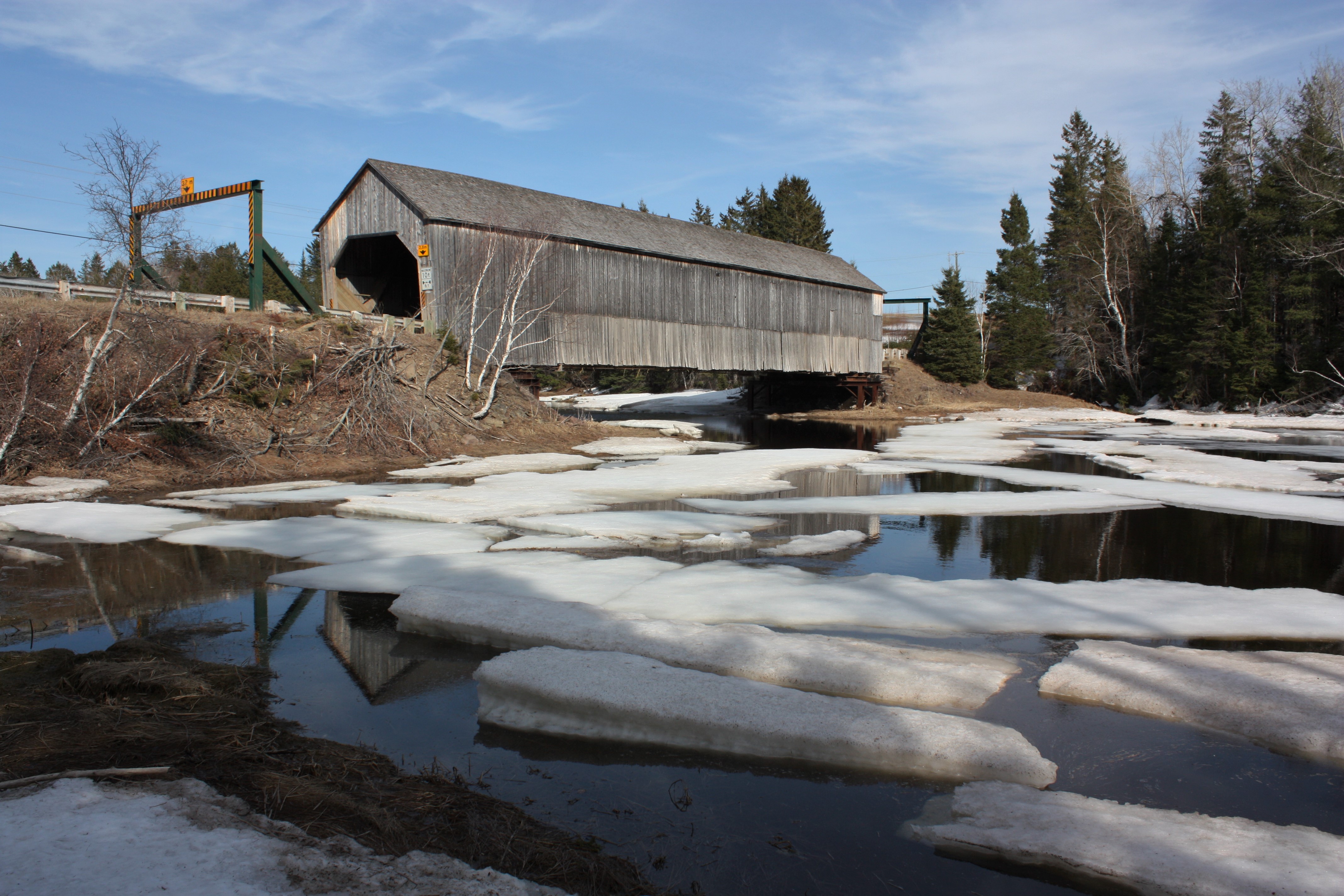
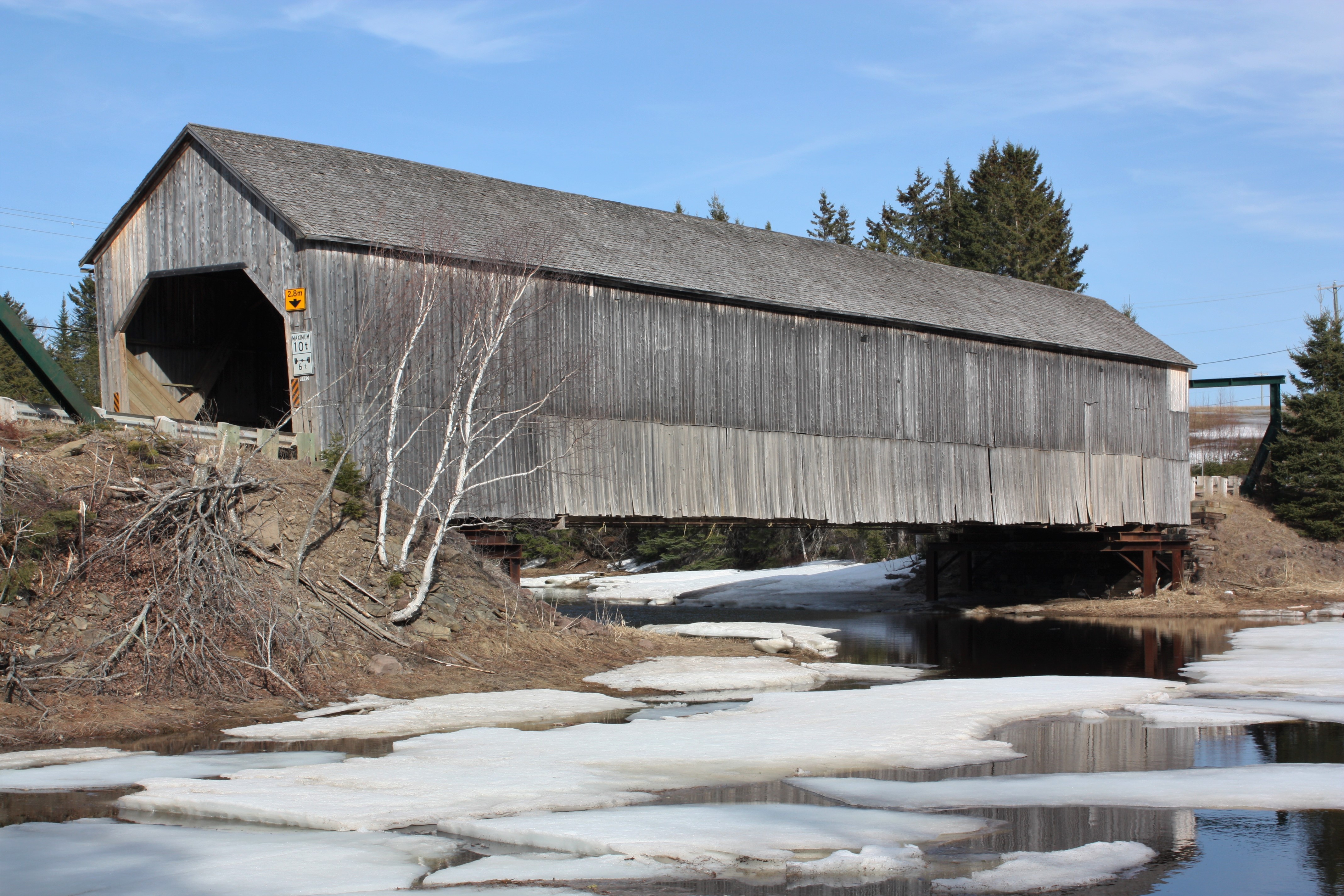
Graham Creek Covered Bridge- Main River, New Brunswick
Graham Creek Covered Bridge- Main River, New Brunswick

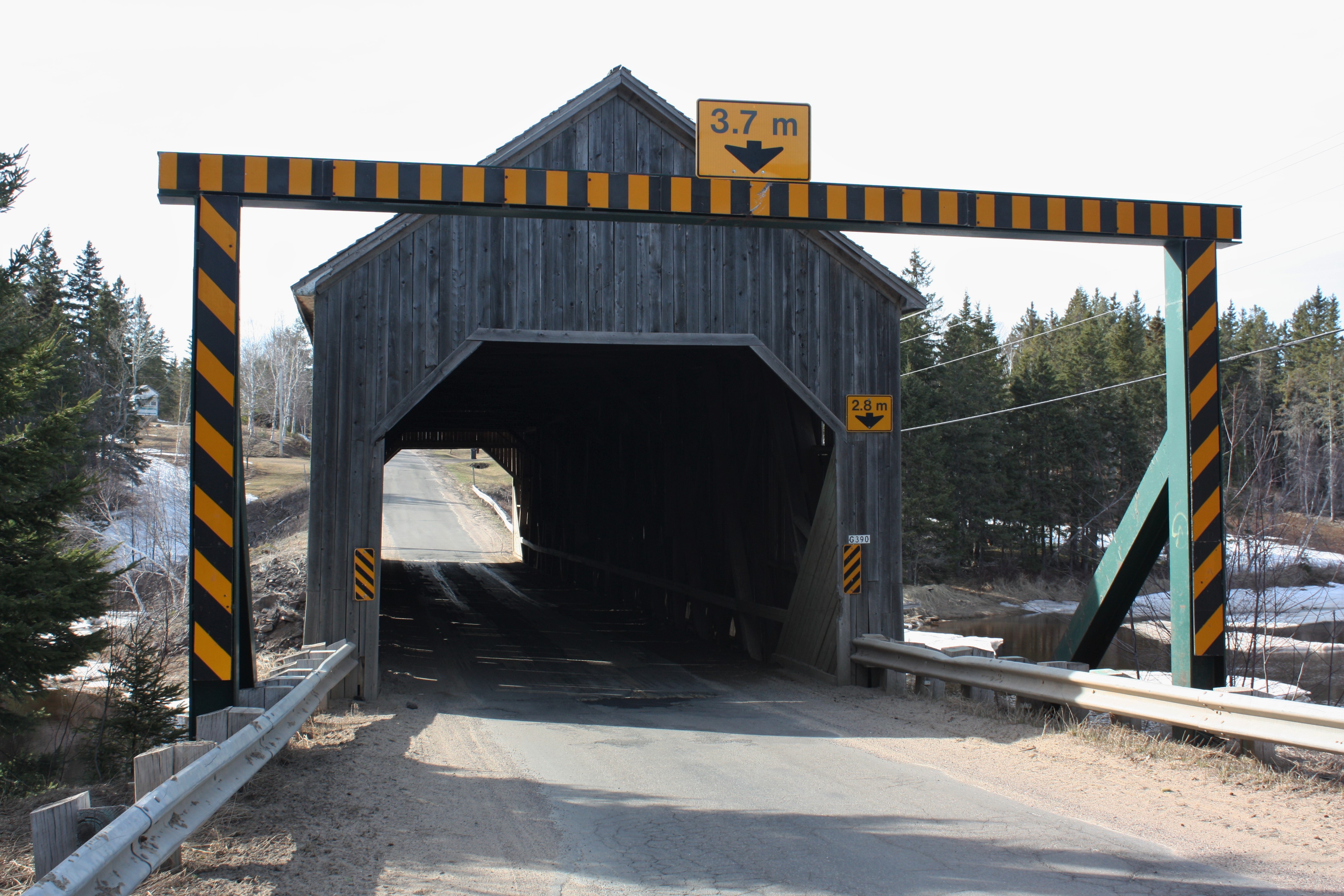
Into the Darkness

Misty trail

Sainte-Marie Farm

Sleeping corn.

Temporary bridge.
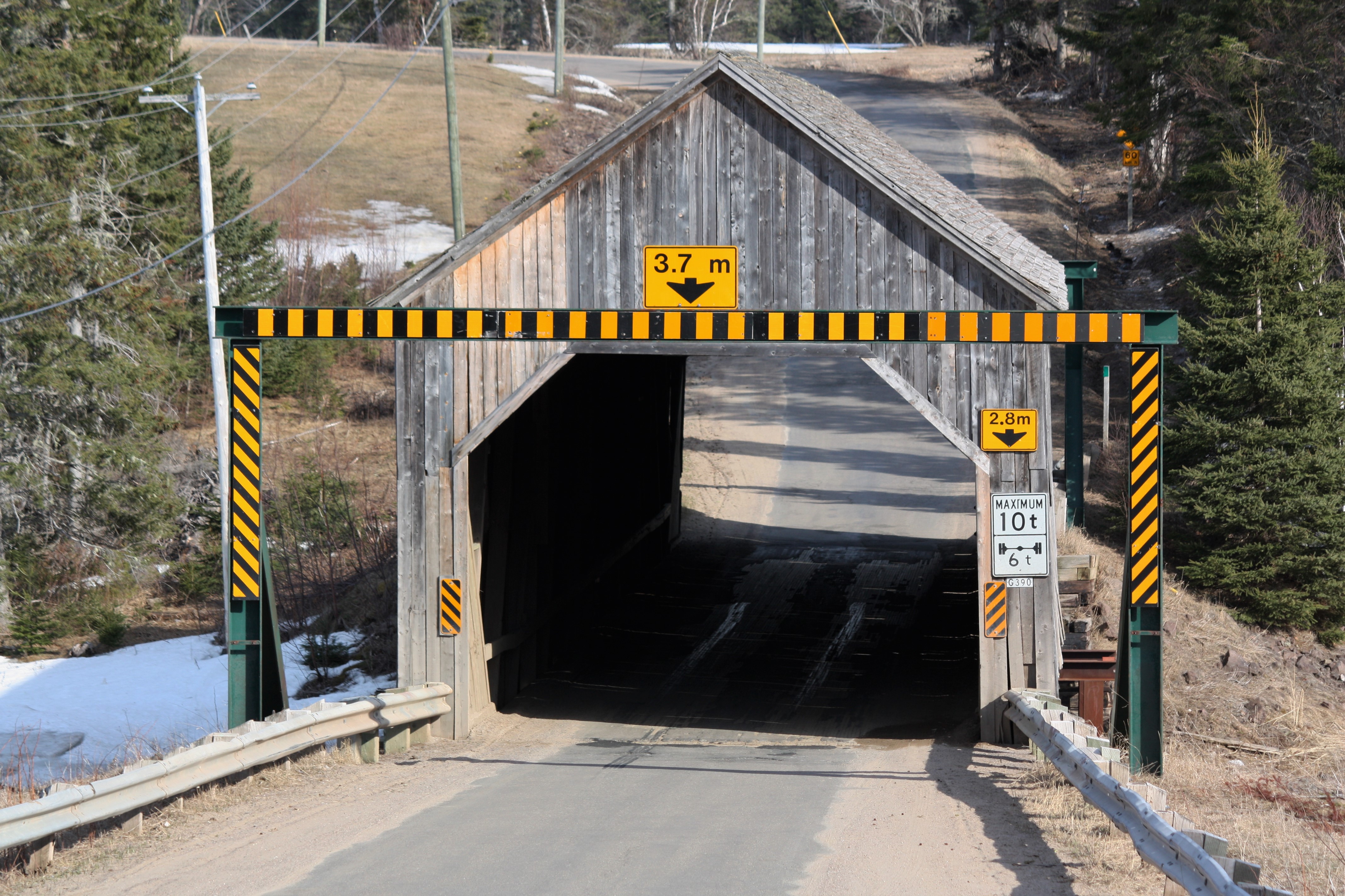
Graham Creek Covered Bridge- Main River, New Brunswick
Graham Creek Covered Bridge- Main River, New Brunswick
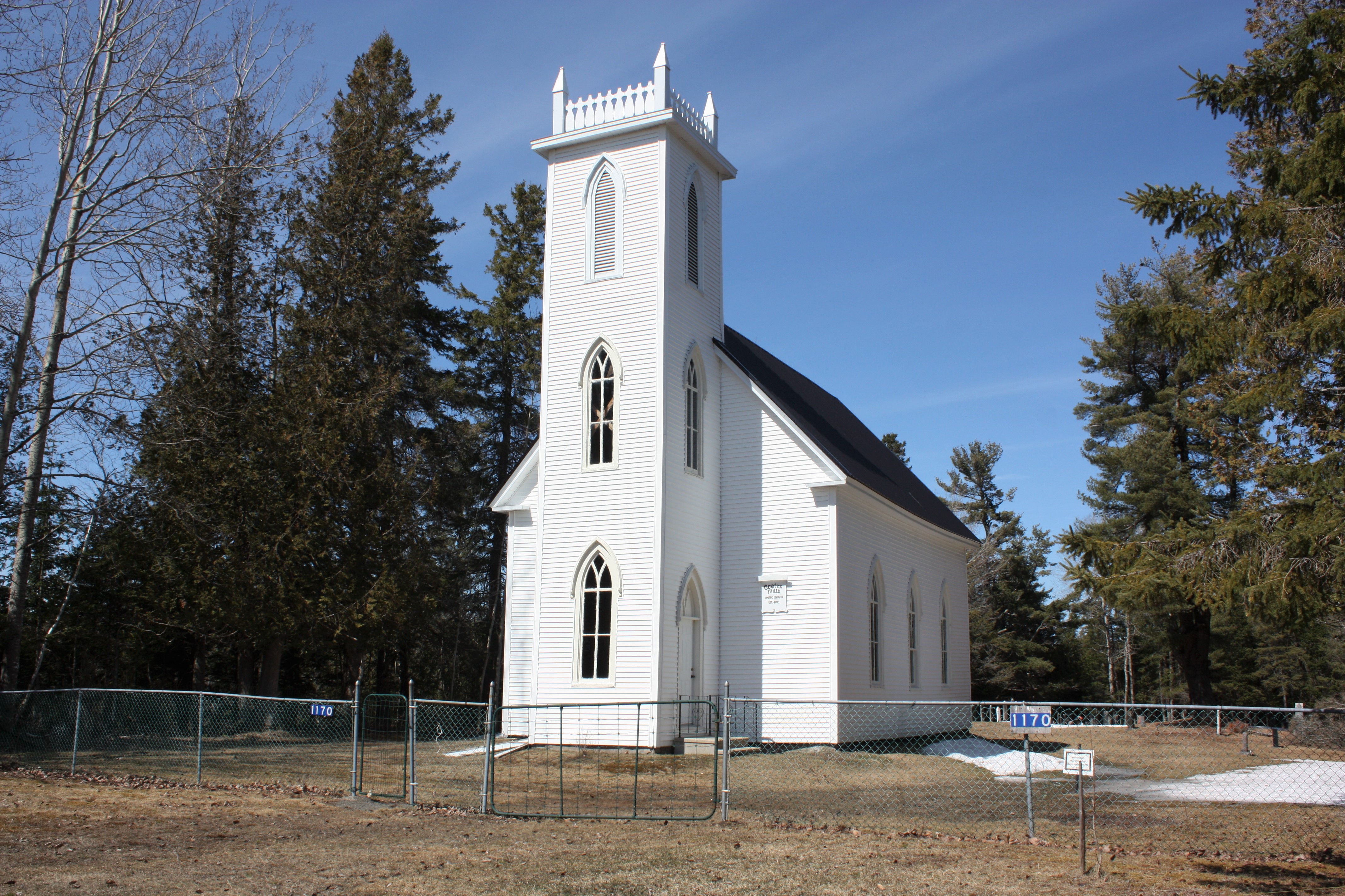
Coates Mills United Church- Coates Mills, New Brunswick

Coates Mills United Church- Coates Mills, New Brunswick
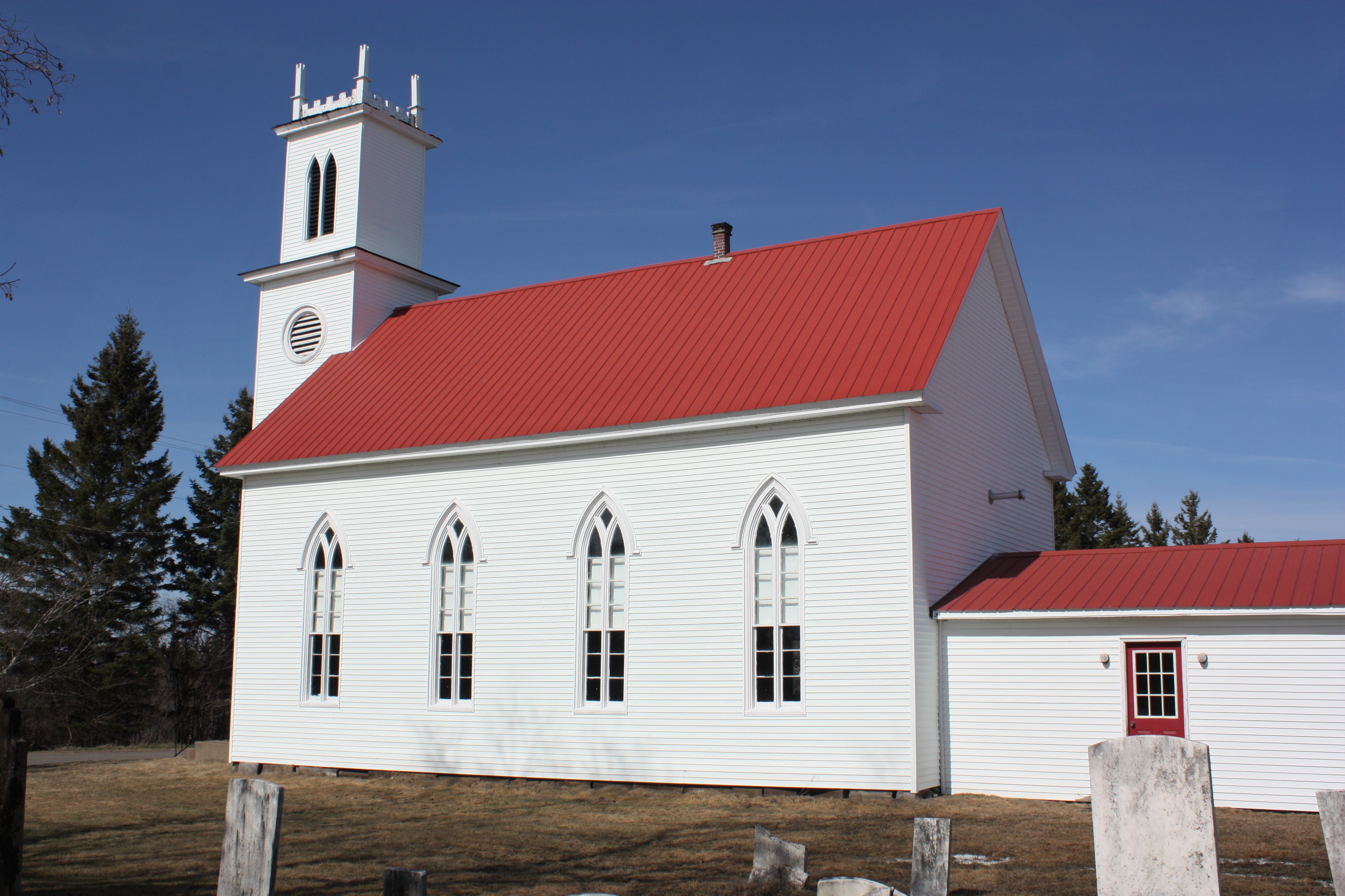
Zion Presbyterian Church- West Branch, New Brunswick
Zion Presbyterian Church- West Branch, New Brunswick
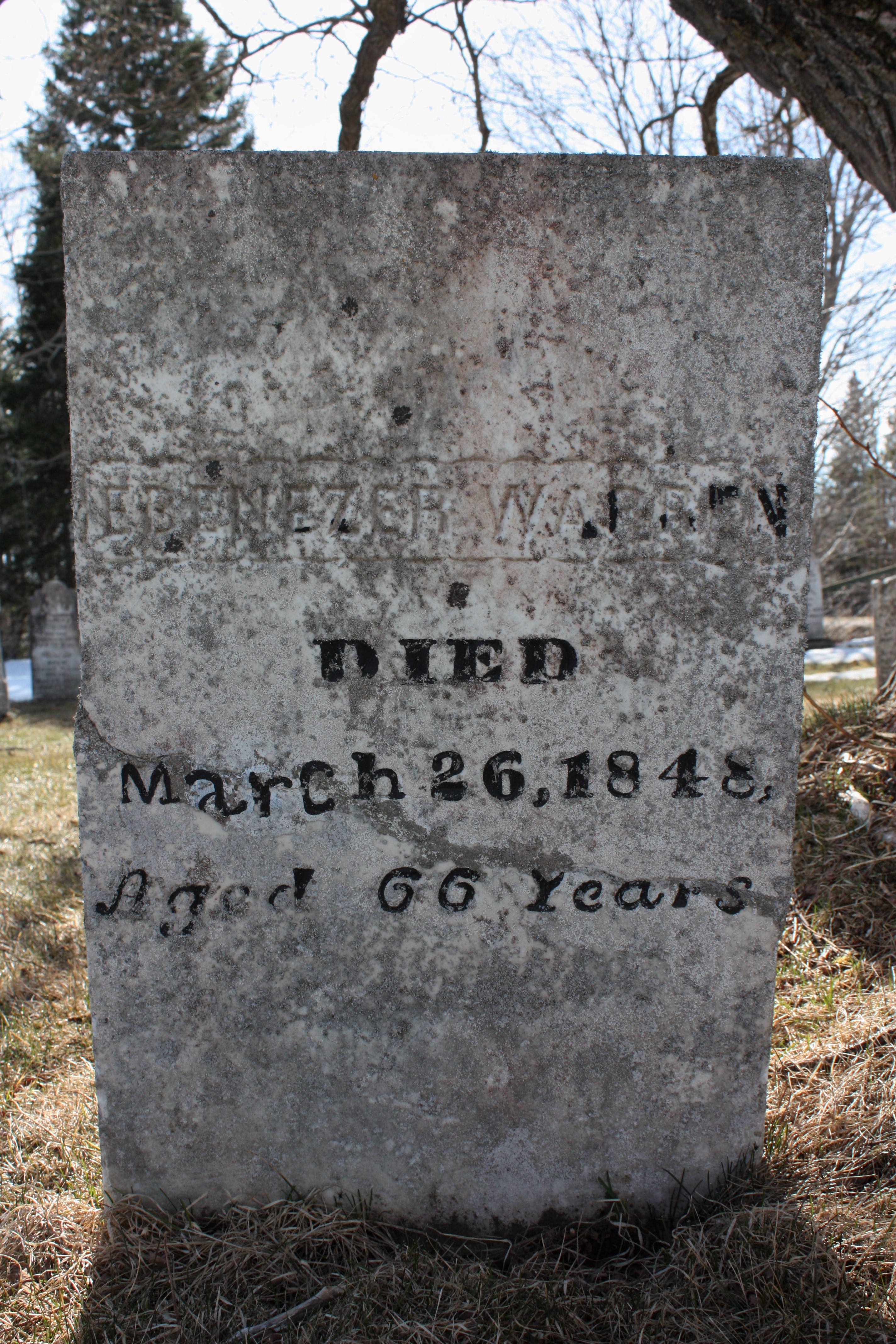
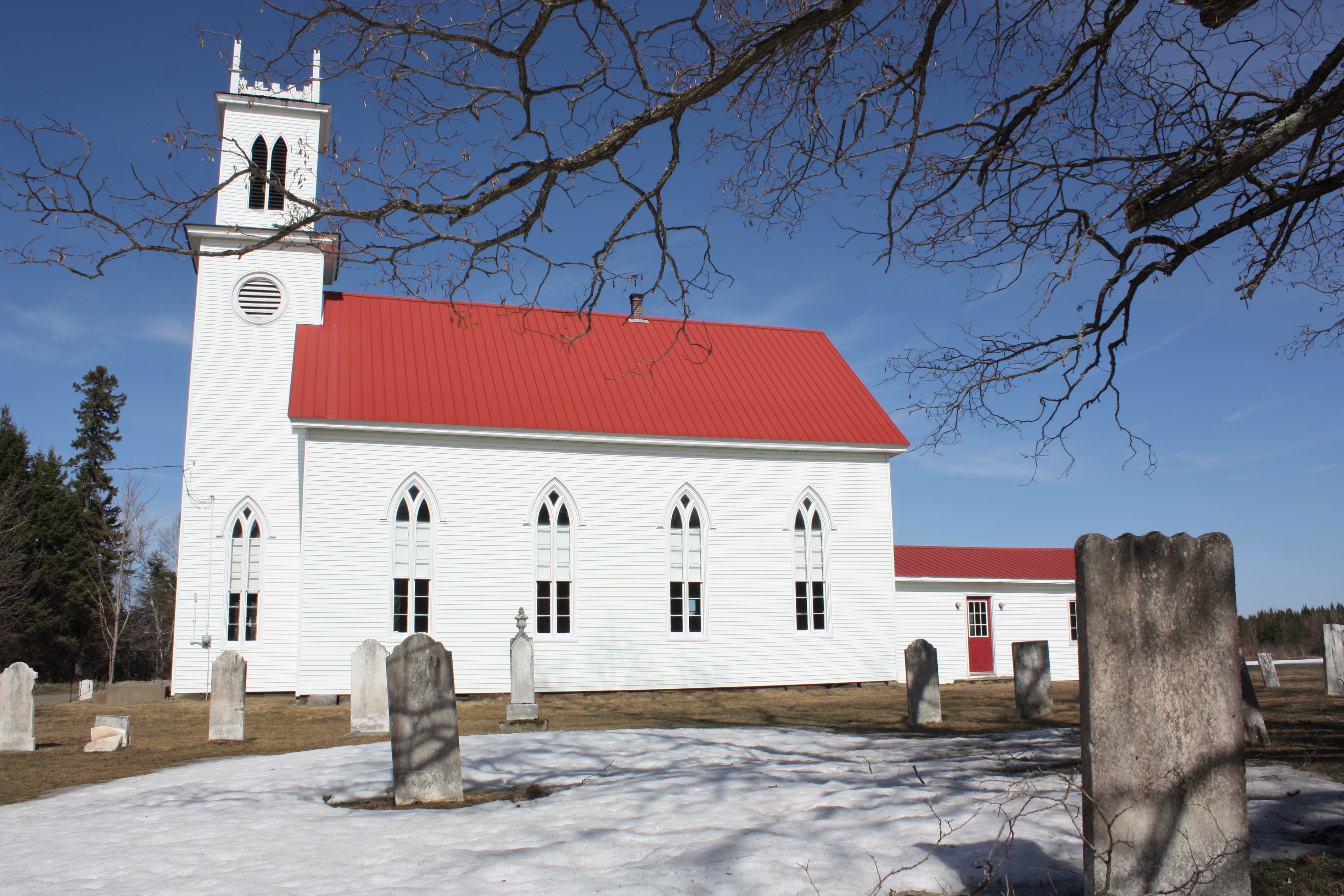
Zion Cemetery- West Branch, New Brunswick
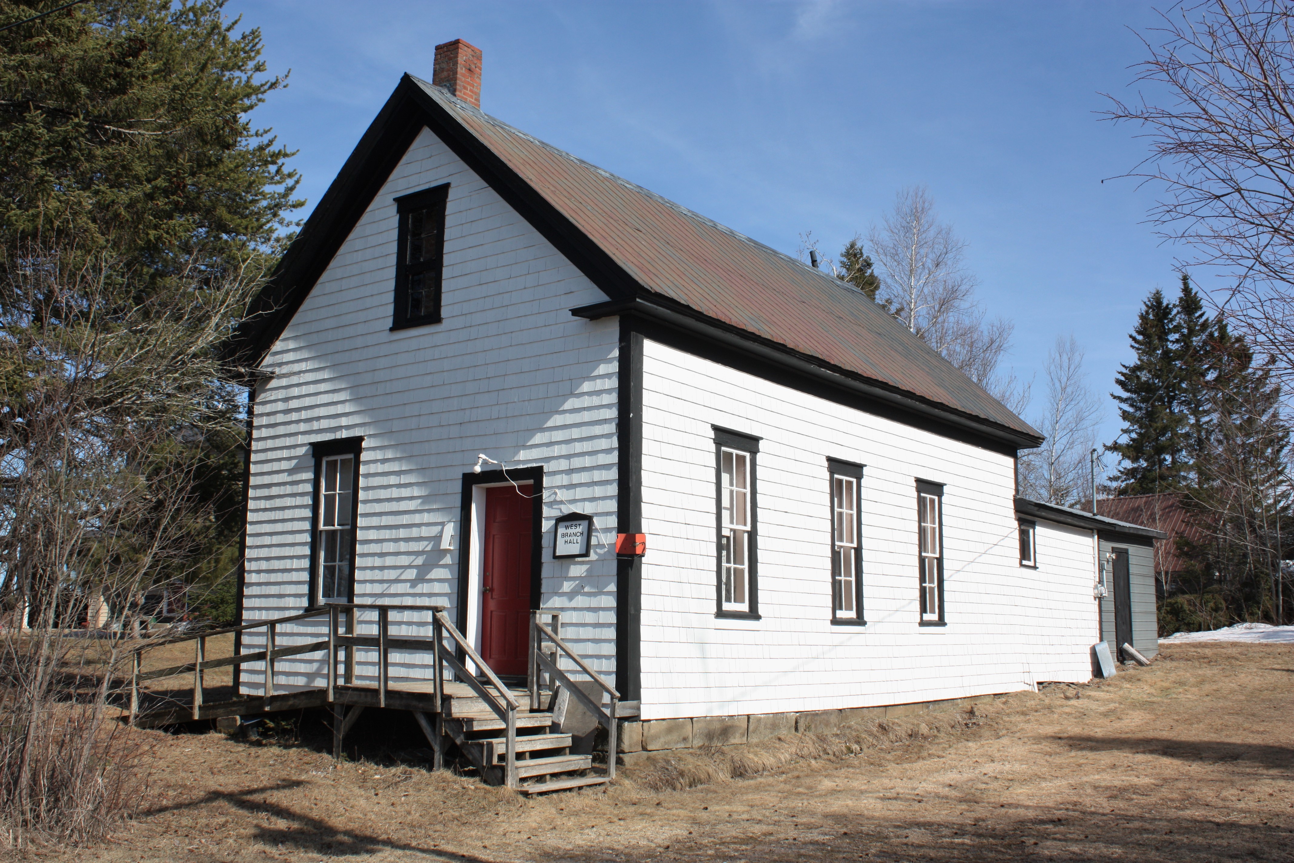
West Branch Hall- West Branch, New Brunswick
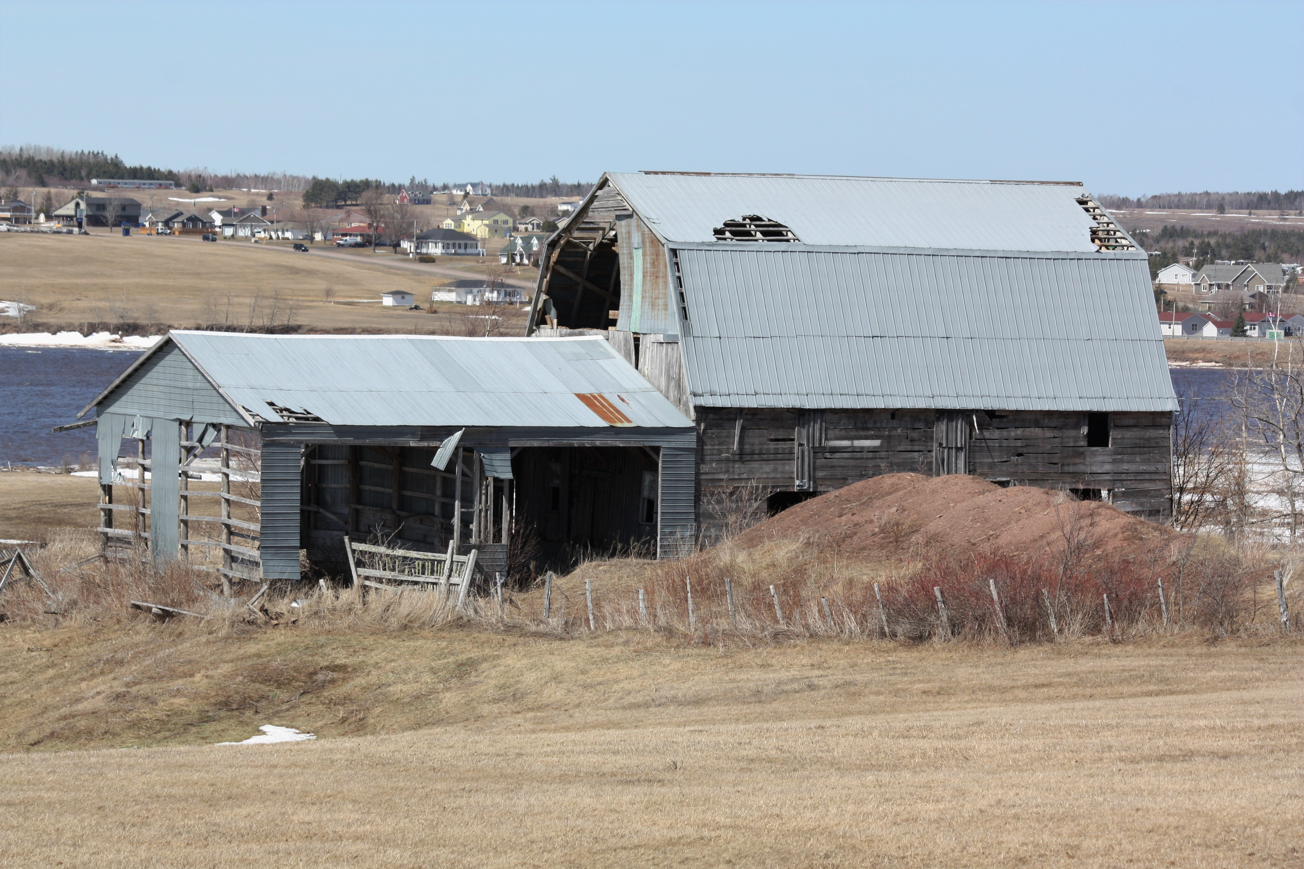
Old Barn- Upper Bouctouche, New Brunswick
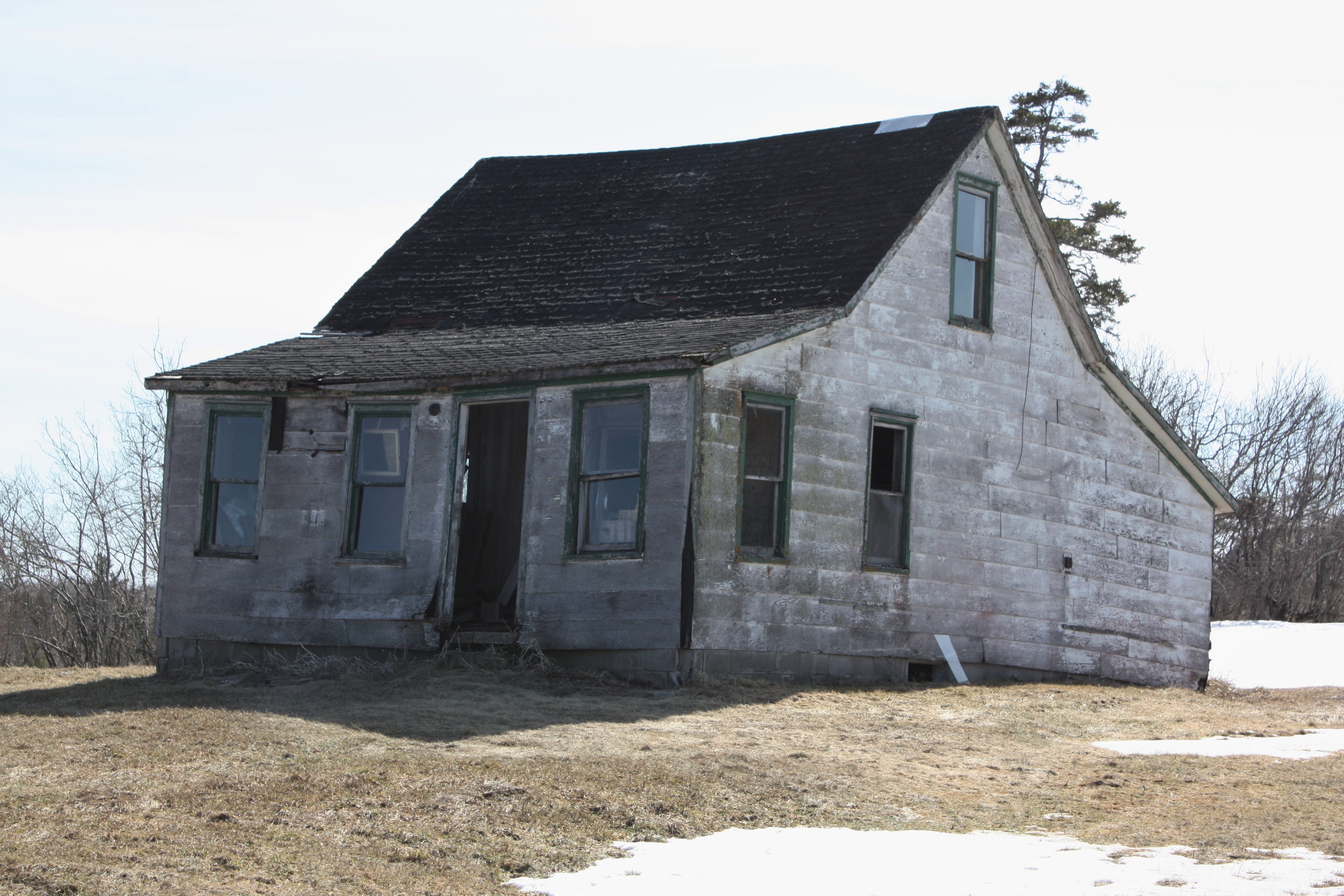
Abandoned House

1803 123

Over and Done
Chemin St Norbert, Saint-Norbert, NB E4S 2R8加拿大的地圖
搜索其他地方的日出日落時間
附近地點
加拿大新不伦瑞克省圣诺伯特E4S 2S8
NB-, Weldford, NB E4W加拿大
NB-, Sainte-Marie-de-Kent, NB E4S 1Z8加拿大
Sainte-Marie-de-Kent, NB, 加拿大
加拿大新不倫瑞克E4S
Saint-Maurice, NB E4S 5E6加拿大
Wellington, NB, 加拿大
Sainte-Anne-de-Kent, NB E4S加拿大
6 NB-, Sainte-Anne-de-Kent, NB E4S 1E6加拿大
McIntosh Hill, NB E4S加拿大
49 Rue Saint Jean Baptiste, Bouctouche, NB E4S 3W2加拿大
Bouctouche, NB, 加拿大
25 Rue Landry, Bouctouche, NB E4S 3N1加拿大
Chemin Potts, McIntosh Hill, NB E4S 4L1加拿大
2 Chemin Côte Ste Anne, Saint-Édouard-de-Kent, NB E4S 4Y1加拿大
Saint-Jean-Baptiste, Bouctouche, NB E4S 3C1加拿大
66 Chemin Hector, Saint-Grégoire, NB E4V 2N1加拿大
Saint-Édouard-de-Kent, NB E4S加拿大
加拿大新不伦瑞克省圣格雷瓜尔E4V 2R5
Rue Acadie, Bouctouche, NB E4S 2T5加拿大Bouctouche Bay Inn
最近搜索
- Red Dog Mine, AK, USA的日出日落時間表
- Am bhf, Borken, 德國Am Bahnhof的日出日落時間表
- 4th St E, Sonoma, CA 美國的日出日落時間表
- Oakland Ave, Williamsport, PA 美國的日出日落時間表
- Via Roma, Pieranica CR, 義大利的日出日落時間表
- 克羅埃西亞杜布羅夫尼克 GradClock Tower of Dubrovnik的日出日落時間表
- 阿根廷丘布特省特雷利烏的日出日落時間表
- Hartfords Bluff Cir, Mt Pleasant, SC 美國的日出日落時間表
- 日本熊本縣熊本市北區的日出日落時間表
- 中國福州市平潭縣平潭島的日出日落時間表