Buckhorn, NM 美國的日出日落時間表
Location: 美國 > 新墨西哥州 > 格蘭特縣 >
時區:
America/Denver
當地時間:
2025-06-18 22:09:50
經度:
-108.708981
緯度:
33.0370333
今天日出時間:
06:06:18 AM
今天日落時間:
08:26:27 PM
今天日照時長:
14h 20m 9s
明天日出時間:
06:06:30 AM
明天日落時間:
08:26:41 PM
明天日照時長:
14h 20m 11s
顯示所有日期
| 日期 | 日出 | 日落 | 日照時長 |
|---|---|---|---|
| 2025年01月01日 | 07:18:04 AM | 05:19:59 PM | 10h 1m 55s |
| 2025年01月02日 | 07:18:13 AM | 05:20:45 PM | 10h 2m 32s |
| 2025年01月03日 | 07:18:20 AM | 05:21:32 PM | 10h 3m 12s |
| 2025年01月04日 | 07:18:26 AM | 05:22:20 PM | 10h 3m 54s |
| 2025年01月05日 | 07:18:30 AM | 05:23:09 PM | 10h 4m 39s |
| 2025年01月06日 | 07:18:31 AM | 05:23:59 PM | 10h 5m 28s |
| 2025年01月07日 | 07:18:31 AM | 05:24:49 PM | 10h 6m 18s |
| 2025年01月08日 | 07:18:30 AM | 05:25:40 PM | 10h 7m 10s |
| 2025年01月09日 | 07:18:26 AM | 05:26:32 PM | 10h 8m 6s |
| 2025年01月10日 | 07:18:21 AM | 05:27:25 PM | 10h 9m 4s |
| 2025年01月11日 | 07:18:14 AM | 05:28:18 PM | 10h 10m 4s |
| 2025年01月12日 | 07:18:05 AM | 05:29:12 PM | 10h 11m 7s |
| 2025年01月13日 | 07:17:54 AM | 05:30:06 PM | 10h 12m 12s |
| 2025年01月14日 | 07:17:41 AM | 05:31:01 PM | 10h 13m 20s |
| 2025年01月15日 | 07:17:27 AM | 05:31:57 PM | 10h 14m 30s |
| 2025年01月16日 | 07:17:11 AM | 05:32:52 PM | 10h 15m 41s |
| 2025年01月17日 | 07:16:53 AM | 05:33:48 PM | 10h 16m 55s |
| 2025年01月18日 | 07:16:33 AM | 05:34:45 PM | 10h 18m 12s |
| 2025年01月19日 | 07:16:11 AM | 05:35:41 PM | 10h 19m 30s |
| 2025年01月20日 | 07:15:48 AM | 05:36:38 PM | 10h 20m 50s |
| 2025年01月21日 | 07:15:23 AM | 05:37:35 PM | 10h 22m 12s |
| 2025年01月22日 | 07:14:57 AM | 05:38:32 PM | 10h 23m 35s |
| 2025年01月23日 | 07:14:28 AM | 05:39:29 PM | 10h 25m 1s |
| 2025年01月24日 | 07:13:58 AM | 05:40:27 PM | 10h 26m 29s |
| 2025年01月25日 | 07:13:27 AM | 05:41:24 PM | 10h 27m 57s |
| 2025年01月26日 | 07:12:53 AM | 05:42:22 PM | 10h 29m 29s |
| 2025年01月27日 | 07:12:18 AM | 05:43:19 PM | 10h 31m 1s |
| 2025年01月28日 | 07:11:42 AM | 05:44:16 PM | 10h 32m 34s |
| 2025年01月29日 | 07:11:04 AM | 05:45:14 PM | 10h 34m 10s |
| 2025年01月30日 | 07:10:24 AM | 05:46:11 PM | 10h 35m 47s |
| 2025年01月31日 | 07:09:43 AM | 05:47:08 PM | 10h 37m 25s |
| 2025年02月01日 | 07:09:01 AM | 05:48:05 PM | 10h 39m 4s |
| 2025年02月02日 | 07:08:17 AM | 05:49:02 PM | 10h 40m 45s |
| 2025年02月03日 | 07:07:31 AM | 05:49:58 PM | 10h 42m 27s |
| 2025年02月04日 | 07:06:44 AM | 05:50:55 PM | 10h 44m 11s |
| 2025年02月05日 | 07:05:56 AM | 05:51:51 PM | 10h 45m 55s |
| 2025年02月06日 | 07:05:06 AM | 05:52:47 PM | 10h 47m 41s |
| 2025年02月07日 | 07:04:15 AM | 05:53:43 PM | 10h 49m 28s |
| 2025年02月08日 | 07:03:23 AM | 05:54:38 PM | 10h 51m 15s |
| 2025年02月09日 | 07:02:30 AM | 05:55:33 PM | 10h 53m 3s |
| 2025年02月10日 | 07:01:35 AM | 05:56:28 PM | 10h 54m 53s |
| 2025年02月11日 | 07:00:39 AM | 05:57:23 PM | 10h 56m 44s |
| 2025年02月12日 | 06:59:42 AM | 05:58:17 PM | 10h 58m 35s |
| 2025年02月13日 | 06:58:43 AM | 05:59:11 PM | 11h 0m 28s |
| 2025年02月14日 | 06:57:44 AM | 06:00:04 PM | 11h 2m 20s |
| 2025年02月15日 | 06:56:43 AM | 06:00:57 PM | 11h 4m 14s |
| 2025年02月16日 | 06:55:42 AM | 06:01:50 PM | 11h 6m 8s |
| 2025年02月17日 | 06:54:39 AM | 06:02:43 PM | 11h 8m 4s |
| 2025年02月18日 | 06:53:36 AM | 06:03:35 PM | 11h 9m 59s |
| 2025年02月19日 | 06:52:31 AM | 06:04:27 PM | 11h 11m 56s |
| 2025年02月20日 | 06:51:26 AM | 06:05:18 PM | 11h 13m 52s |
| 2025年02月21日 | 06:50:19 AM | 06:06:09 PM | 11h 15m 50s |
| 2025年02月22日 | 06:49:12 AM | 06:07:00 PM | 11h 17m 48s |
| 2025年02月23日 | 06:48:04 AM | 06:07:50 PM | 11h 19m 46s |
| 2025年02月24日 | 06:46:55 AM | 06:08:40 PM | 11h 21m 45s |
| 2025年02月25日 | 06:45:45 AM | 06:09:30 PM | 11h 23m 45s |
| 2025年02月26日 | 06:44:34 AM | 06:10:19 PM | 11h 25m 45s |
| 2025年02月27日 | 06:43:23 AM | 06:11:08 PM | 11h 27m 45s |
| 2025年02月28日 | 06:42:11 AM | 06:11:57 PM | 11h 29m 46s |
| 2025年03月01日 | 06:40:59 AM | 06:12:45 PM | 11h 31m 46s |
| 2025年03月02日 | 06:39:46 AM | 06:13:33 PM | 11h 33m 47s |
| 2025年03月03日 | 06:38:32 AM | 06:14:21 PM | 11h 35m 49s |
| 2025年03月04日 | 06:37:17 AM | 06:15:08 PM | 11h 37m 51s |
| 2025年03月05日 | 06:36:02 AM | 06:15:55 PM | 11h 39m 53s |
| 2025年03月06日 | 06:34:47 AM | 06:16:42 PM | 11h 41m 55s |
| 2025年03月07日 | 06:33:31 AM | 06:17:29 PM | 11h 43m 58s |
| 2025年03月08日 | 06:32:15 AM | 06:18:15 PM | 11h 46m 0s |
| 2025年03月09日 | 07:31:01 AM | 07:18:59 PM | 11h 47m 58s |
| 2025年03月10日 | 07:29:44 AM | 07:19:45 PM | 11h 50m 1s |
| 2025年03月11日 | 07:28:26 AM | 07:20:30 PM | 11h 52m 4s |
| 2025年03月12日 | 07:27:09 AM | 07:21:16 PM | 11h 54m 7s |
| 2025年03月13日 | 07:25:50 AM | 07:22:01 PM | 11h 56m 11s |
| 2025年03月14日 | 07:24:32 AM | 07:22:46 PM | 11h 58m 14s |
| 2025年03月15日 | 07:23:13 AM | 07:23:30 PM | 12h 0m 17s |
| 2025年03月16日 | 07:21:54 AM | 07:24:15 PM | 12h 2m 21s |
| 2025年03月17日 | 07:20:35 AM | 07:24:59 PM | 12h 4m 24s |
| 2025年03月18日 | 07:19:16 AM | 07:25:43 PM | 12h 6m 27s |
| 2025年03月19日 | 07:17:57 AM | 07:26:27 PM | 12h 8m 30s |
| 2025年03月20日 | 07:16:37 AM | 07:27:11 PM | 12h 10m 34s |
| 2025年03月21日 | 07:15:18 AM | 07:27:55 PM | 12h 12m 37s |
| 2025年03月22日 | 07:13:58 AM | 07:28:38 PM | 12h 14m 40s |
| 2025年03月23日 | 07:12:38 AM | 07:29:22 PM | 12h 16m 44s |
| 2025年03月24日 | 07:11:19 AM | 07:30:05 PM | 12h 18m 46s |
| 2025年03月25日 | 07:09:59 AM | 07:30:48 PM | 12h 20m 49s |
| 2025年03月26日 | 07:08:40 AM | 07:31:32 PM | 12h 22m 52s |
| 2025年03月27日 | 07:07:20 AM | 07:32:15 PM | 12h 24m 55s |
| 2025年03月28日 | 07:06:01 AM | 07:32:58 PM | 12h 26m 57s |
| 2025年03月29日 | 07:04:42 AM | 07:33:41 PM | 12h 28m 59s |
| 2025年03月30日 | 07:03:23 AM | 07:34:24 PM | 12h 31m 1s |
| 2025年03月31日 | 07:02:05 AM | 07:35:07 PM | 12h 33m 2s |
| 2025年04月01日 | 07:00:46 AM | 07:35:50 PM | 12h 35m 4s |
| 2025年04月02日 | 06:59:28 AM | 07:36:33 PM | 12h 37m 5s |
| 2025年04月03日 | 06:58:10 AM | 07:37:16 PM | 12h 39m 6s |
| 2025年04月04日 | 06:56:53 AM | 07:38:00 PM | 12h 41m 7s |
| 2025年04月05日 | 06:55:35 AM | 07:38:43 PM | 12h 43m 8s |
| 2025年04月06日 | 06:54:19 AM | 07:39:26 PM | 12h 45m 7s |
| 2025年04月07日 | 06:53:02 AM | 07:40:09 PM | 12h 47m 7s |
| 2025年04月08日 | 06:51:46 AM | 07:40:52 PM | 12h 49m 6s |
| 2025年04月09日 | 06:50:31 AM | 07:41:36 PM | 12h 51m 5s |
| 2025年04月10日 | 06:49:16 AM | 07:42:19 PM | 12h 53m 3s |
| 2025年04月11日 | 06:48:02 AM | 07:43:02 PM | 12h 55m 0s |
| 2025年04月12日 | 06:46:48 AM | 07:43:46 PM | 12h 56m 58s |
| 2025年04月13日 | 06:45:35 AM | 07:44:29 PM | 12h 58m 54s |
| 2025年04月14日 | 06:44:22 AM | 07:45:13 PM | 13h 0m 51s |
| 2025年04月15日 | 06:43:10 AM | 07:45:57 PM | 13h 2m 47s |
| 2025年04月16日 | 06:41:59 AM | 07:46:41 PM | 13h 4m 42s |
| 2025年04月17日 | 06:40:48 AM | 07:47:25 PM | 13h 6m 37s |
| 2025年04月18日 | 06:39:38 AM | 07:48:09 PM | 13h 8m 31s |
| 2025年04月19日 | 06:38:29 AM | 07:48:53 PM | 13h 10m 24s |
| 2025年04月20日 | 06:37:20 AM | 07:49:37 PM | 13h 12m 17s |
| 2025年04月21日 | 06:36:13 AM | 07:50:21 PM | 13h 14m 8s |
| 2025年04月22日 | 06:35:06 AM | 07:51:05 PM | 13h 15m 59s |
| 2025年04月23日 | 06:34:00 AM | 07:51:50 PM | 13h 17m 50s |
| 2025年04月24日 | 06:32:55 AM | 07:52:34 PM | 13h 19m 39s |
| 2025年04月25日 | 06:31:51 AM | 07:53:19 PM | 13h 21m 28s |
| 2025年04月26日 | 06:30:48 AM | 07:54:03 PM | 13h 23m 15s |
| 2025年04月27日 | 06:29:46 AM | 07:54:48 PM | 13h 25m 2s |
| 2025年04月28日 | 06:28:45 AM | 07:55:33 PM | 13h 26m 48s |
| 2025年04月29日 | 06:27:45 AM | 07:56:17 PM | 13h 28m 32s |
| 2025年04月30日 | 06:26:46 AM | 07:57:02 PM | 13h 30m 16s |
| 2025年05月01日 | 06:25:47 AM | 07:57:47 PM | 13h 32m 0s |
| 2025年05月02日 | 06:24:51 AM | 07:58:32 PM | 13h 33m 41s |
| 2025年05月03日 | 06:23:55 AM | 07:59:16 PM | 13h 35m 21s |
| 2025年05月04日 | 06:23:00 AM | 08:00:01 PM | 13h 37m 1s |
| 2025年05月05日 | 06:22:07 AM | 08:00:46 PM | 13h 38m 39s |
| 2025年05月06日 | 06:21:14 AM | 08:01:30 PM | 13h 40m 16s |
| 2025年05月07日 | 06:20:23 AM | 08:02:15 PM | 13h 41m 52s |
| 2025年05月08日 | 06:19:33 AM | 08:02:59 PM | 13h 43m 26s |
| 2025年05月09日 | 06:18:45 AM | 08:03:43 PM | 13h 44m 58s |
| 2025年05月10日 | 06:17:57 AM | 08:04:28 PM | 13h 46m 31s |
| 2025年05月11日 | 06:17:11 AM | 08:05:12 PM | 13h 48m 1s |
| 2025年05月12日 | 06:16:27 AM | 08:05:55 PM | 13h 49m 28s |
| 2025年05月13日 | 06:15:43 AM | 08:06:39 PM | 13h 50m 56s |
| 2025年05月14日 | 06:15:01 AM | 08:07:22 PM | 13h 52m 21s |
| 2025年05月15日 | 06:14:21 AM | 08:08:05 PM | 13h 53m 44s |
| 2025年05月16日 | 06:13:42 AM | 08:08:48 PM | 13h 55m 6s |
| 2025年05月17日 | 06:13:04 AM | 08:09:31 PM | 13h 56m 27s |
| 2025年05月18日 | 06:12:28 AM | 08:10:13 PM | 13h 57m 45s |
| 2025年05月19日 | 06:11:53 AM | 08:10:55 PM | 13h 59m 2s |
| 2025年05月20日 | 06:11:19 AM | 08:11:36 PM | 14h 0m 17s |
| 2025年05月21日 | 06:10:47 AM | 08:12:17 PM | 14h 1m 30s |
| 2025年05月22日 | 06:10:17 AM | 08:12:58 PM | 14h 2m 41s |
| 2025年05月23日 | 06:09:48 AM | 08:13:38 PM | 14h 3m 50s |
| 2025年05月24日 | 06:09:21 AM | 08:14:17 PM | 14h 4m 56s |
| 2025年05月25日 | 06:08:55 AM | 08:14:56 PM | 14h 6m 1s |
| 2025年05月26日 | 06:08:30 AM | 08:15:35 PM | 14h 7m 5s |
| 2025年05月27日 | 06:08:07 AM | 08:16:13 PM | 14h 8m 6s |
| 2025年05月28日 | 06:07:46 AM | 08:16:50 PM | 14h 9m 4s |
| 2025年05月29日 | 06:07:26 AM | 08:17:26 PM | 14h 10m 0s |
| 2025年05月30日 | 06:07:08 AM | 08:18:02 PM | 14h 10m 54s |
| 2025年05月31日 | 06:06:51 AM | 08:18:37 PM | 14h 11m 46s |
| 2025年06月01日 | 06:06:36 AM | 08:19:11 PM | 14h 12m 35s |
| 2025年06月02日 | 06:06:23 AM | 08:19:45 PM | 14h 13m 22s |
| 2025年06月03日 | 06:06:11 AM | 08:20:17 PM | 14h 14m 6s |
| 2025年06月04日 | 06:06:00 AM | 08:20:49 PM | 14h 14m 49s |
| 2025年06月05日 | 06:05:51 AM | 08:21:20 PM | 14h 15m 29s |
| 2025年06月06日 | 06:05:44 AM | 08:21:50 PM | 14h 16m 6s |
| 2025年06月07日 | 06:05:38 AM | 08:22:18 PM | 14h 16m 40s |
| 2025年06月08日 | 06:05:34 AM | 08:22:46 PM | 14h 17m 12s |
| 2025年06月09日 | 06:05:31 AM | 08:23:13 PM | 14h 17m 42s |
| 2025年06月10日 | 06:05:30 AM | 08:23:39 PM | 14h 18m 9s |
| 2025年06月11日 | 06:05:30 AM | 08:24:03 PM | 14h 18m 33s |
| 2025年06月12日 | 06:05:32 AM | 08:24:26 PM | 14h 18m 54s |
| 2025年06月13日 | 06:05:35 AM | 08:24:49 PM | 14h 19m 14s |
| 2025年06月14日 | 06:05:40 AM | 08:25:10 PM | 14h 19m 30s |
| 2025年06月15日 | 06:05:46 AM | 08:25:29 PM | 14h 19m 43s |
| 2025年06月16日 | 06:05:54 AM | 08:25:48 PM | 14h 19m 54s |
| 2025年06月17日 | 06:06:03 AM | 08:26:05 PM | 14h 20m 2s |
| 2025年06月18日 | 06:06:13 AM | 08:26:21 PM | 14h 20m 8s |
| 2025年06月19日 | 06:06:25 AM | 08:26:35 PM | 14h 20m 10s |
| 2025年06月20日 | 06:06:38 AM | 08:26:49 PM | 14h 20m 11s |
| 2025年06月21日 | 06:06:52 AM | 08:27:00 PM | 14h 20m 8s |
| 2025年06月22日 | 06:07:08 AM | 08:27:11 PM | 14h 20m 3s |
| 2025年06月23日 | 06:07:24 AM | 08:27:19 PM | 14h 19m 55s |
| 2025年06月24日 | 06:07:42 AM | 08:27:27 PM | 14h 19m 45s |
| 2025年06月25日 | 06:08:02 AM | 08:27:33 PM | 14h 19m 31s |
| 2025年06月26日 | 06:08:22 AM | 08:27:37 PM | 14h 19m 15s |
| 2025年06月27日 | 06:08:44 AM | 08:27:40 PM | 14h 18m 56s |
| 2025年06月28日 | 06:09:07 AM | 08:27:42 PM | 14h 18m 35s |
| 2025年06月29日 | 06:09:30 AM | 08:27:41 PM | 14h 18m 11s |
| 2025年06月30日 | 06:09:55 AM | 08:27:40 PM | 14h 17m 45s |
| 2025年07月01日 | 06:10:21 AM | 08:27:37 PM | 14h 17m 16s |
| 2025年07月02日 | 06:10:48 AM | 08:27:32 PM | 14h 16m 44s |
| 2025年07月03日 | 06:11:16 AM | 08:27:25 PM | 14h 16m 9s |
| 2025年07月04日 | 06:11:44 AM | 08:27:17 PM | 14h 15m 33s |
| 2025年07月05日 | 06:12:14 AM | 08:27:08 PM | 14h 14m 54s |
| 2025年07月06日 | 06:12:45 AM | 08:26:57 PM | 14h 14m 12s |
| 2025年07月07日 | 06:13:16 AM | 08:26:44 PM | 14h 13m 28s |
| 2025年07月08日 | 06:13:48 AM | 08:26:30 PM | 14h 12m 42s |
| 2025年07月09日 | 06:14:21 AM | 08:26:14 PM | 14h 11m 53s |
| 2025年07月10日 | 06:14:54 AM | 08:25:56 PM | 14h 11m 2s |
| 2025年07月11日 | 06:15:28 AM | 08:25:37 PM | 14h 10m 9s |
| 2025年07月12日 | 06:16:03 AM | 08:25:16 PM | 14h 9m 13s |
| 2025年07月13日 | 06:16:39 AM | 08:24:54 PM | 14h 8m 15s |
| 2025年07月14日 | 06:17:15 AM | 08:24:30 PM | 14h 7m 15s |
| 2025年07月15日 | 06:17:51 AM | 08:24:05 PM | 14h 6m 14s |
| 2025年07月16日 | 06:18:29 AM | 08:23:38 PM | 14h 5m 9s |
| 2025年07月17日 | 06:19:06 AM | 08:23:09 PM | 14h 4m 3s |
| 2025年07月18日 | 06:19:44 AM | 08:22:39 PM | 14h 2m 55s |
| 2025年07月19日 | 06:20:23 AM | 08:22:07 PM | 14h 1m 44s |
| 2025年07月20日 | 06:21:02 AM | 08:21:34 PM | 14h 0m 32s |
| 2025年07月21日 | 06:21:41 AM | 08:20:59 PM | 13h 59m 18s |
| 2025年07月22日 | 06:22:20 AM | 08:20:23 PM | 13h 58m 3s |
| 2025年07月23日 | 06:23:00 AM | 08:19:46 PM | 13h 56m 46s |
| 2025年07月24日 | 06:23:40 AM | 08:19:07 PM | 13h 55m 27s |
| 2025年07月25日 | 06:24:21 AM | 08:18:26 PM | 13h 54m 5s |
| 2025年07月26日 | 06:25:01 AM | 08:17:44 PM | 13h 52m 43s |
| 2025年07月27日 | 06:25:42 AM | 08:17:01 PM | 13h 51m 19s |
| 2025年07月28日 | 06:26:23 AM | 08:16:16 PM | 13h 49m 53s |
| 2025年07月29日 | 06:27:04 AM | 08:15:30 PM | 13h 48m 26s |
| 2025年07月30日 | 06:27:45 AM | 08:14:42 PM | 13h 46m 57s |
| 2025年07月31日 | 06:28:27 AM | 08:13:54 PM | 13h 45m 27s |
| 2025年08月01日 | 06:29:08 AM | 08:13:04 PM | 13h 43m 56s |
| 2025年08月02日 | 06:29:50 AM | 08:12:12 PM | 13h 42m 22s |
| 2025年08月03日 | 06:30:31 AM | 08:11:20 PM | 13h 40m 49s |
| 2025年08月04日 | 06:31:13 AM | 08:10:26 PM | 13h 39m 13s |
| 2025年08月05日 | 06:31:54 AM | 08:09:31 PM | 13h 37m 37s |
| 2025年08月06日 | 06:32:36 AM | 08:08:34 PM | 13h 35m 58s |
| 2025年08月07日 | 06:33:18 AM | 08:07:37 PM | 13h 34m 19s |
| 2025年08月08日 | 06:33:59 AM | 08:06:39 PM | 13h 32m 40s |
| 2025年08月09日 | 06:34:41 AM | 08:05:39 PM | 13h 30m 58s |
| 2025年08月10日 | 06:35:22 AM | 08:04:38 PM | 13h 29m 16s |
| 2025年08月11日 | 06:36:03 AM | 08:03:36 PM | 13h 27m 33s |
| 2025年08月12日 | 06:36:45 AM | 08:02:34 PM | 13h 25m 49s |
| 2025年08月13日 | 06:37:26 AM | 08:01:30 PM | 13h 24m 4s |
| 2025年08月14日 | 06:38:07 AM | 08:00:25 PM | 13h 22m 18s |
| 2025年08月15日 | 06:38:48 AM | 07:59:19 PM | 13h 20m 31s |
| 2025年08月16日 | 06:39:29 AM | 07:58:12 PM | 13h 18m 43s |
| 2025年08月17日 | 06:40:10 AM | 07:57:05 PM | 13h 16m 55s |
| 2025年08月18日 | 06:40:51 AM | 07:55:56 PM | 13h 15m 5s |
| 2025年08月19日 | 06:41:31 AM | 07:54:47 PM | 13h 13m 16s |
| 2025年08月20日 | 06:42:12 AM | 07:53:37 PM | 13h 11m 25s |
| 2025年08月21日 | 06:42:52 AM | 07:52:26 PM | 13h 9m 34s |
| 2025年08月22日 | 06:43:33 AM | 07:51:14 PM | 13h 7m 41s |
| 2025年08月23日 | 06:44:13 AM | 07:50:02 PM | 13h 5m 49s |
| 2025年08月24日 | 06:44:53 AM | 07:48:48 PM | 13h 3m 55s |
| 2025年08月25日 | 06:45:33 AM | 07:47:34 PM | 13h 2m 1s |
| 2025年08月26日 | 06:46:13 AM | 07:46:20 PM | 13h 0m 7s |
| 2025年08月27日 | 06:46:52 AM | 07:45:05 PM | 12h 58m 13s |
| 2025年08月28日 | 06:47:32 AM | 07:43:49 PM | 12h 56m 17s |
| 2025年08月29日 | 06:48:11 AM | 07:42:33 PM | 12h 54m 22s |
| 2025年08月30日 | 06:48:51 AM | 07:41:16 PM | 12h 52m 25s |
| 2025年08月31日 | 06:49:30 AM | 07:39:58 PM | 12h 50m 28s |
| 2025年09月01日 | 06:50:09 AM | 07:38:40 PM | 12h 48m 31s |
| 2025年09月02日 | 06:50:49 AM | 07:37:22 PM | 12h 46m 33s |
| 2025年09月03日 | 06:51:28 AM | 07:36:03 PM | 12h 44m 35s |
| 2025年09月04日 | 06:52:07 AM | 07:34:44 PM | 12h 42m 37s |
| 2025年09月05日 | 06:52:46 AM | 07:33:24 PM | 12h 40m 38s |
| 2025年09月06日 | 06:53:25 AM | 07:32:05 PM | 12h 38m 40s |
| 2025年09月07日 | 06:54:03 AM | 07:30:44 PM | 12h 36m 41s |
| 2025年09月08日 | 06:54:42 AM | 07:29:24 PM | 12h 34m 42s |
| 2025年09月09日 | 06:55:21 AM | 07:28:03 PM | 12h 32m 42s |
| 2025年09月10日 | 06:56:00 AM | 07:26:42 PM | 12h 30m 42s |
| 2025年09月11日 | 06:56:39 AM | 07:25:20 PM | 12h 28m 41s |
| 2025年09月12日 | 06:57:18 AM | 07:23:59 PM | 12h 26m 41s |
| 2025年09月13日 | 06:57:57 AM | 07:22:37 PM | 12h 24m 40s |
| 2025年09月14日 | 06:58:36 AM | 07:21:16 PM | 12h 22m 40s |
| 2025年09月15日 | 06:59:15 AM | 07:19:54 PM | 12h 20m 39s |
| 2025年09月16日 | 06:59:54 AM | 07:18:32 PM | 12h 18m 38s |
| 2025年09月17日 | 07:00:33 AM | 07:17:10 PM | 12h 16m 37s |
| 2025年09月18日 | 07:01:12 AM | 07:15:48 PM | 12h 14m 36s |
| 2025年09月19日 | 07:01:51 AM | 07:14:26 PM | 12h 12m 35s |
| 2025年09月20日 | 07:02:31 AM | 07:13:04 PM | 12h 10m 33s |
| 2025年09月21日 | 07:03:10 AM | 07:11:42 PM | 12h 8m 32s |
| 2025年09月22日 | 07:03:50 AM | 07:10:20 PM | 12h 6m 30s |
| 2025年09月23日 | 07:04:30 AM | 07:08:58 PM | 12h 4m 28s |
| 2025年09月24日 | 07:05:10 AM | 07:07:37 PM | 12h 2m 27s |
| 2025年09月25日 | 07:05:50 AM | 07:06:16 PM | 12h 0m 26s |
| 2025年09月26日 | 07:06:30 AM | 07:04:54 PM | 11h 58m 24s |
| 2025年09月27日 | 07:07:11 AM | 07:03:34 PM | 11h 56m 23s |
| 2025年09月28日 | 07:07:51 AM | 07:02:13 PM | 11h 54m 22s |
| 2025年09月29日 | 07:08:32 AM | 07:00:53 PM | 11h 52m 21s |
| 2025年09月30日 | 07:09:14 AM | 06:59:33 PM | 11h 50m 19s |
| 2025年10月01日 | 07:09:55 AM | 06:58:13 PM | 11h 48m 18s |
| 2025年10月02日 | 07:10:37 AM | 06:56:54 PM | 11h 46m 17s |
| 2025年10月03日 | 07:11:19 AM | 06:55:35 PM | 11h 44m 16s |
| 2025年10月04日 | 07:12:01 AM | 06:54:16 PM | 11h 42m 15s |
| 2025年10月05日 | 07:12:43 AM | 06:52:59 PM | 11h 40m 16s |
| 2025年10月06日 | 07:13:26 AM | 06:51:41 PM | 11h 38m 15s |
| 2025年10月07日 | 07:14:09 AM | 06:50:24 PM | 11h 36m 15s |
| 2025年10月08日 | 07:14:53 AM | 06:49:08 PM | 11h 34m 15s |
| 2025年10月09日 | 07:15:37 AM | 06:47:52 PM | 11h 32m 15s |
| 2025年10月10日 | 07:16:21 AM | 06:46:37 PM | 11h 30m 16s |
| 2025年10月11日 | 07:17:05 AM | 06:45:23 PM | 11h 28m 18s |
| 2025年10月12日 | 07:17:50 AM | 06:44:09 PM | 11h 26m 19s |
| 2025年10月13日 | 07:18:35 AM | 06:42:56 PM | 11h 24m 21s |
| 2025年10月14日 | 07:19:21 AM | 06:41:43 PM | 11h 22m 22s |
| 2025年10月15日 | 07:20:07 AM | 06:40:32 PM | 11h 20m 25s |
| 2025年10月16日 | 07:20:53 AM | 06:39:21 PM | 11h 18m 28s |
| 2025年10月17日 | 07:21:39 AM | 06:38:11 PM | 11h 16m 32s |
| 2025年10月18日 | 07:22:26 AM | 06:37:02 PM | 11h 14m 36s |
| 2025年10月19日 | 07:23:14 AM | 06:35:54 PM | 11h 12m 40s |
| 2025年10月20日 | 07:24:02 AM | 06:34:47 PM | 11h 10m 45s |
| 2025年10月21日 | 07:24:50 AM | 06:33:40 PM | 11h 8m 50s |
| 2025年10月22日 | 07:25:38 AM | 06:32:35 PM | 11h 6m 57s |
| 2025年10月23日 | 07:26:27 AM | 06:31:31 PM | 11h 5m 4s |
| 2025年10月24日 | 07:27:17 AM | 06:30:27 PM | 11h 3m 10s |
| 2025年10月25日 | 07:28:06 AM | 06:29:25 PM | 11h 1m 19s |
| 2025年10月26日 | 07:28:56 AM | 06:28:24 PM | 10h 59m 28s |
| 2025年10月27日 | 07:29:47 AM | 06:27:24 PM | 10h 57m 37s |
| 2025年10月28日 | 07:30:37 AM | 06:26:25 PM | 10h 55m 48s |
| 2025年10月29日 | 07:31:29 AM | 06:25:28 PM | 10h 53m 59s |
| 2025年10月30日 | 07:32:20 AM | 06:24:31 PM | 10h 52m 11s |
| 2025年10月31日 | 07:33:12 AM | 06:23:36 PM | 10h 50m 24s |
| 2025年11月01日 | 07:34:04 AM | 06:22:42 PM | 10h 48m 38s |
| 2025年11月02日 | 06:34:59 AM | 05:21:48 PM | 10h 46m 49s |
| 2025年11月03日 | 06:35:51 AM | 05:20:57 PM | 10h 45m 6s |
| 2025年11月04日 | 06:36:44 AM | 05:20:07 PM | 10h 43m 23s |
| 2025年11月05日 | 06:37:38 AM | 05:19:19 PM | 10h 41m 41s |
| 2025年11月06日 | 06:38:31 AM | 05:18:32 PM | 10h 40m 1s |
| 2025年11月07日 | 06:39:25 AM | 05:17:46 PM | 10h 38m 21s |
| 2025年11月08日 | 06:40:19 AM | 05:17:02 PM | 10h 36m 43s |
| 2025年11月09日 | 06:41:13 AM | 05:16:20 PM | 10h 35m 7s |
| 2025年11月10日 | 06:42:07 AM | 05:15:39 PM | 10h 33m 32s |
| 2025年11月11日 | 06:43:02 AM | 05:14:59 PM | 10h 31m 57s |
| 2025年11月12日 | 06:43:56 AM | 05:14:22 PM | 10h 30m 26s |
| 2025年11月13日 | 06:44:51 AM | 05:13:45 PM | 10h 28m 54s |
| 2025年11月14日 | 06:45:46 AM | 05:13:11 PM | 10h 27m 25s |
| 2025年11月15日 | 06:46:41 AM | 05:12:38 PM | 10h 25m 57s |
| 2025年11月16日 | 06:47:35 AM | 05:12:07 PM | 10h 24m 32s |
| 2025年11月17日 | 06:48:30 AM | 05:11:37 PM | 10h 23m 7s |
| 2025年11月18日 | 06:49:25 AM | 05:11:09 PM | 10h 21m 44s |
| 2025年11月19日 | 06:50:19 AM | 05:10:43 PM | 10h 20m 24s |
| 2025年11月20日 | 06:51:14 AM | 05:10:19 PM | 10h 19m 5s |
| 2025年11月21日 | 06:52:08 AM | 05:09:56 PM | 10h 17m 48s |
| 2025年11月22日 | 06:53:02 AM | 05:09:36 PM | 10h 16m 34s |
| 2025年11月23日 | 06:53:56 AM | 05:09:17 PM | 10h 15m 21s |
| 2025年11月24日 | 06:54:50 AM | 05:08:59 PM | 10h 14m 9s |
| 2025年11月25日 | 06:55:43 AM | 05:08:44 PM | 10h 13m 1s |
| 2025年11月26日 | 06:56:36 AM | 05:08:30 PM | 10h 11m 54s |
| 2025年11月27日 | 06:57:28 AM | 05:08:19 PM | 10h 10m 51s |
| 2025年11月28日 | 06:58:20 AM | 05:08:09 PM | 10h 9m 49s |
| 2025年11月29日 | 06:59:11 AM | 05:08:01 PM | 10h 8m 50s |
| 2025年11月30日 | 07:00:02 AM | 05:07:55 PM | 10h 7m 53s |
| 2025年12月01日 | 07:00:53 AM | 05:07:50 PM | 10h 6m 57s |
| 2025年12月02日 | 07:01:42 AM | 05:07:48 PM | 10h 6m 6s |
| 2025年12月03日 | 07:02:31 AM | 05:07:47 PM | 10h 5m 16s |
| 2025年12月04日 | 07:03:20 AM | 05:07:49 PM | 10h 4m 29s |
| 2025年12月05日 | 07:04:07 AM | 05:07:52 PM | 10h 3m 45s |
| 2025年12月06日 | 07:04:54 AM | 05:07:57 PM | 10h 3m 3s |
| 2025年12月07日 | 07:05:40 AM | 05:08:03 PM | 10h 2m 23s |
| 2025年12月08日 | 07:06:25 AM | 05:08:12 PM | 10h 1m 47s |
| 2025年12月09日 | 07:07:09 AM | 05:08:22 PM | 10h 1m 13s |
| 2025年12月10日 | 07:07:52 AM | 05:08:35 PM | 10h 0m 43s |
| 2025年12月11日 | 07:08:33 AM | 05:08:48 PM | 10h 0m 15s |
| 2025年12月12日 | 07:09:14 AM | 05:09:04 PM | 9h 59m 50s |
| 2025年12月13日 | 07:09:54 AM | 05:09:22 PM | 9h 59m 28s |
| 2025年12月14日 | 07:10:32 AM | 05:09:41 PM | 9h 59m 9s |
| 2025年12月15日 | 07:11:10 AM | 05:10:02 PM | 9h 58m 52s |
| 2025年12月16日 | 07:11:46 AM | 05:10:24 PM | 9h 58m 38s |
| 2025年12月17日 | 07:12:21 AM | 05:10:49 PM | 9h 58m 28s |
| 2025年12月18日 | 07:12:54 AM | 05:11:15 PM | 9h 58m 21s |
| 2025年12月19日 | 07:13:26 AM | 05:11:42 PM | 9h 58m 16s |
| 2025年12月20日 | 07:13:56 AM | 05:12:11 PM | 9h 58m 15s |
| 2025年12月21日 | 07:14:26 AM | 05:12:42 PM | 9h 58m 16s |
| 2025年12月22日 | 07:14:53 AM | 05:13:14 PM | 9h 58m 21s |
| 2025年12月23日 | 07:15:19 AM | 05:13:47 PM | 9h 58m 28s |
| 2025年12月24日 | 07:15:44 AM | 05:14:22 PM | 9h 58m 38s |
| 2025年12月25日 | 07:16:07 AM | 05:14:58 PM | 9h 58m 51s |
| 2025年12月26日 | 07:16:28 AM | 05:15:36 PM | 9h 59m 8s |
| 2025年12月27日 | 07:16:48 AM | 05:16:15 PM | 9h 59m 27s |
| 2025年12月28日 | 07:17:06 AM | 05:16:55 PM | 9h 59m 49s |
| 2025年12月29日 | 07:17:23 AM | 05:17:37 PM | 10h 0m 14s |
| 2025年12月30日 | 07:17:37 AM | 05:18:19 PM | 10h 0m 42s |
| 2025年12月31日 | 07:17:50 AM | 05:19:03 PM | 10h 1m 13s |
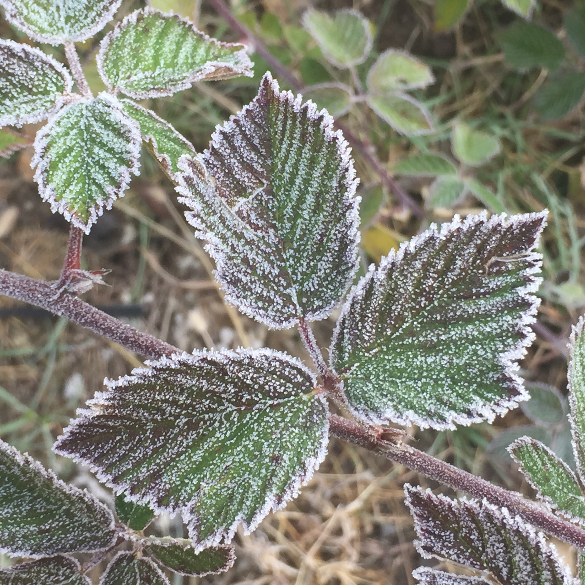
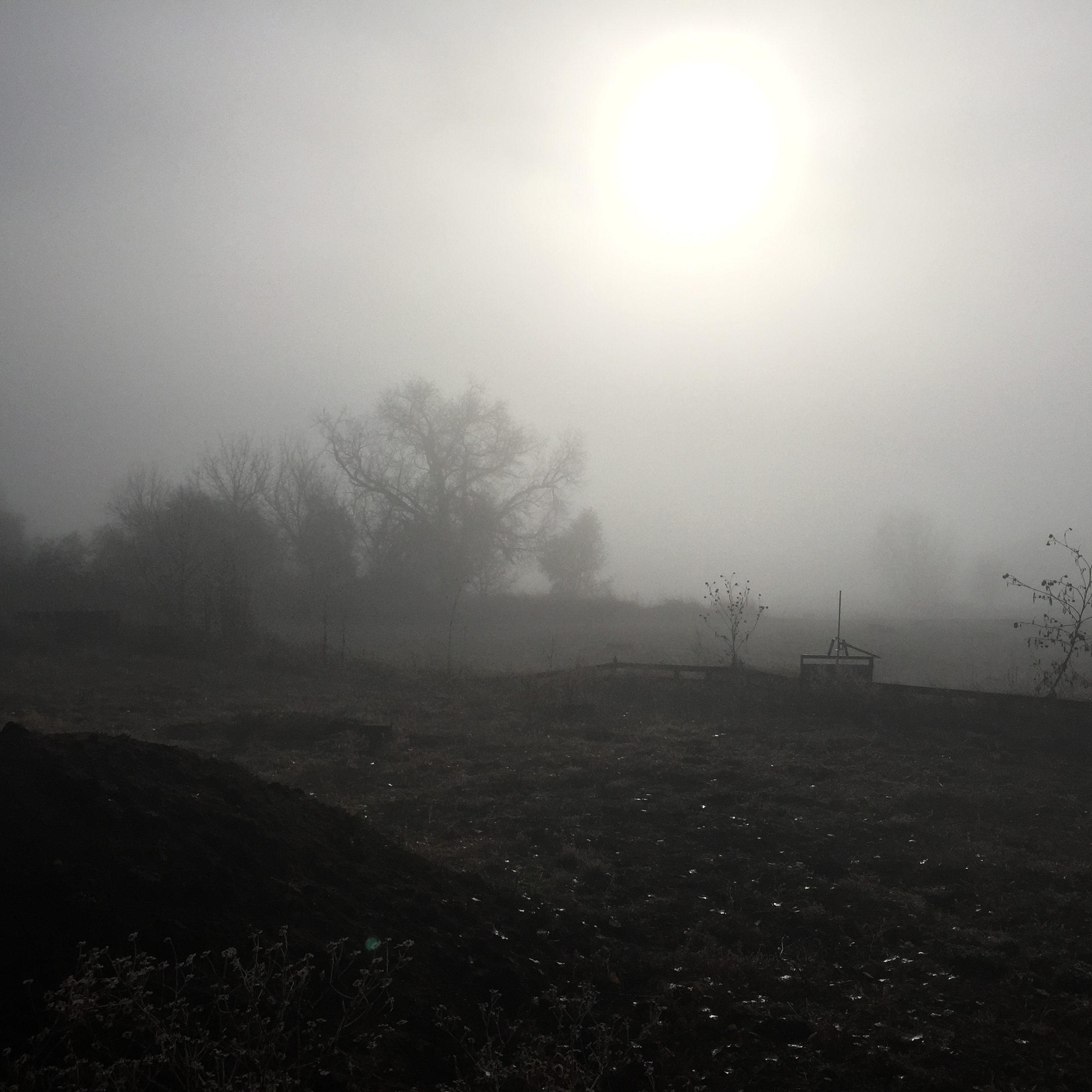
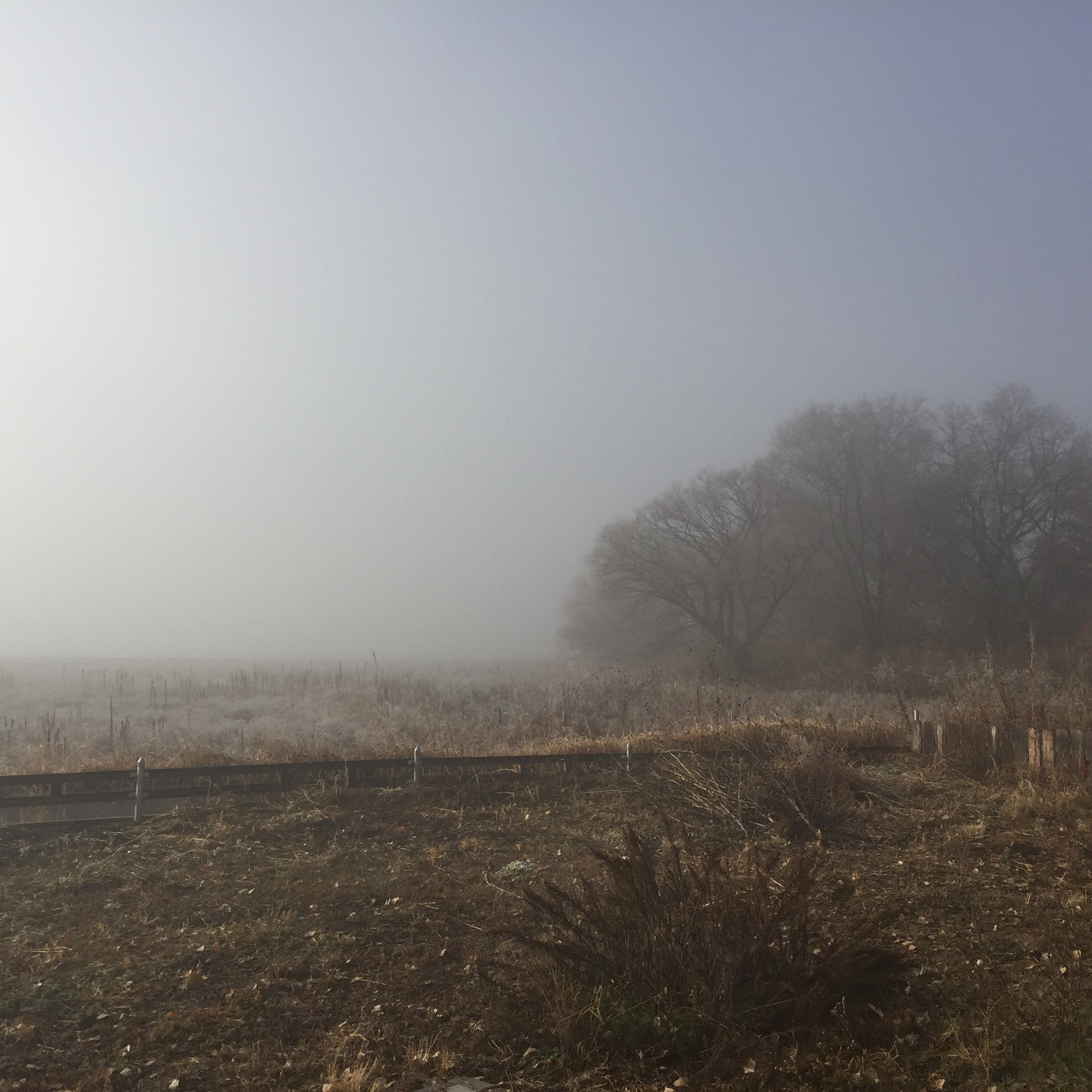
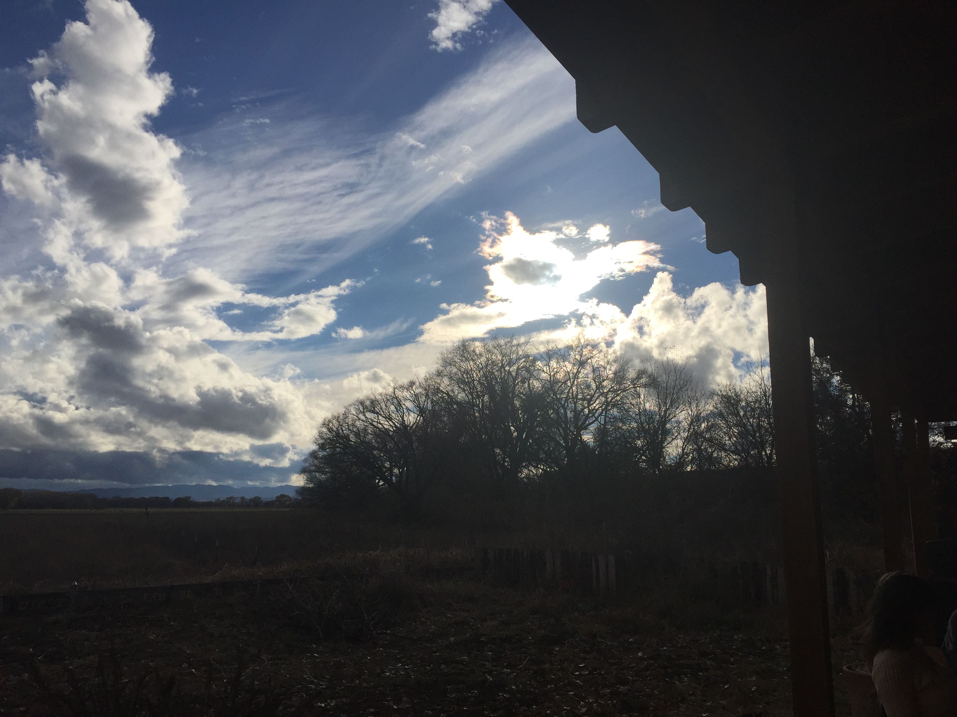
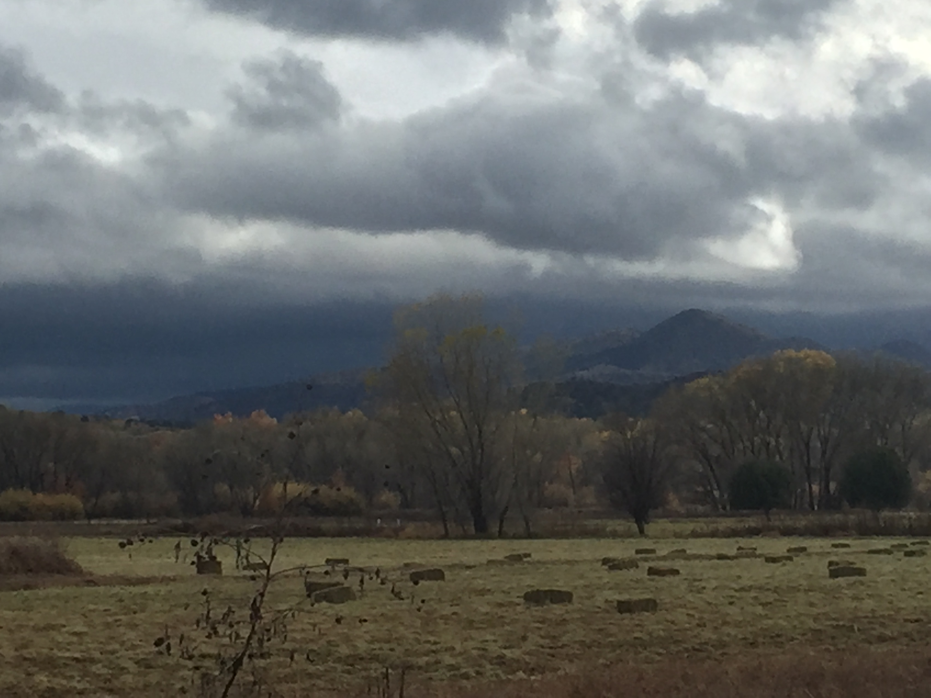
日出日落照片
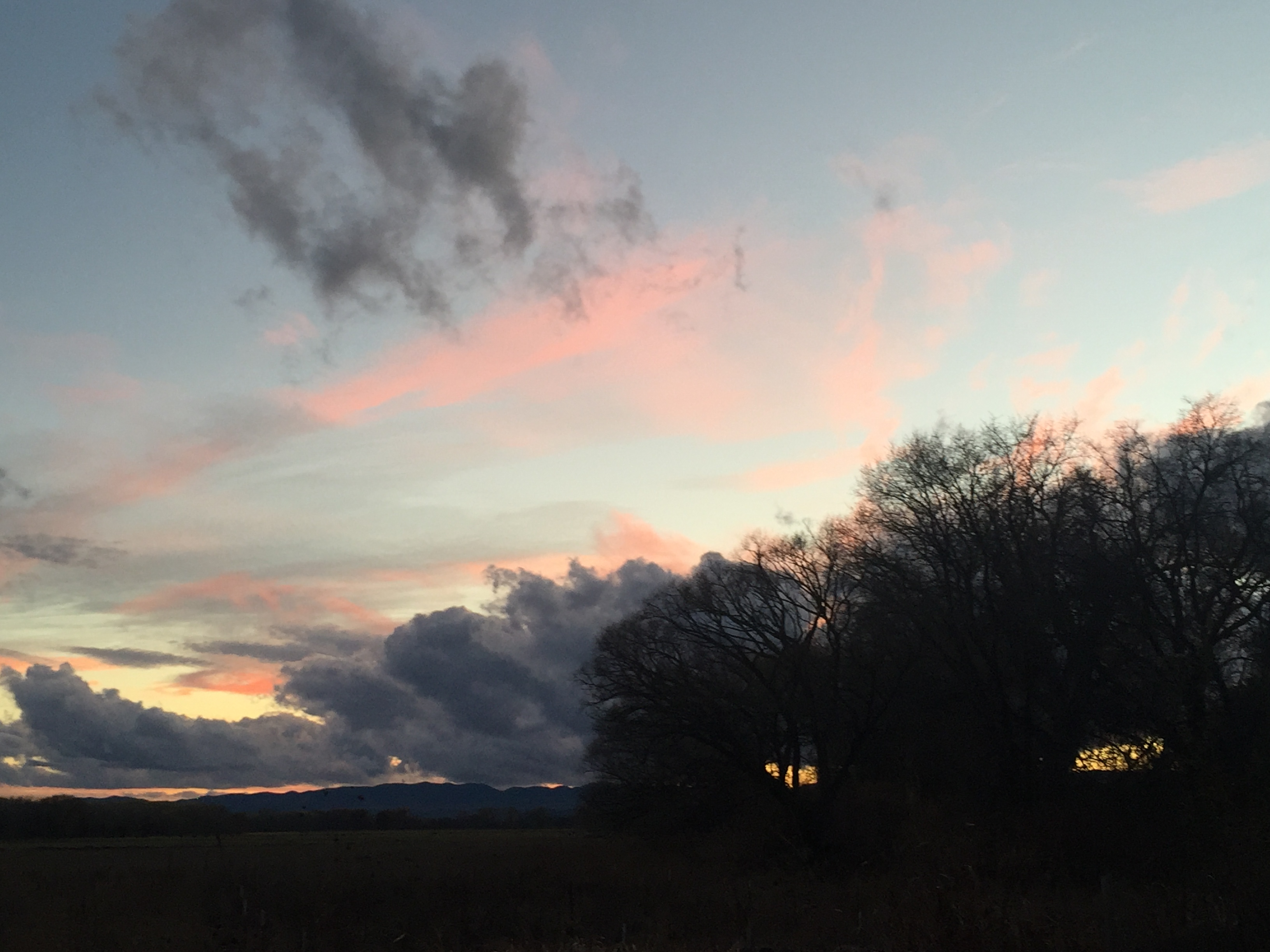
Fall/Winter in the Gila
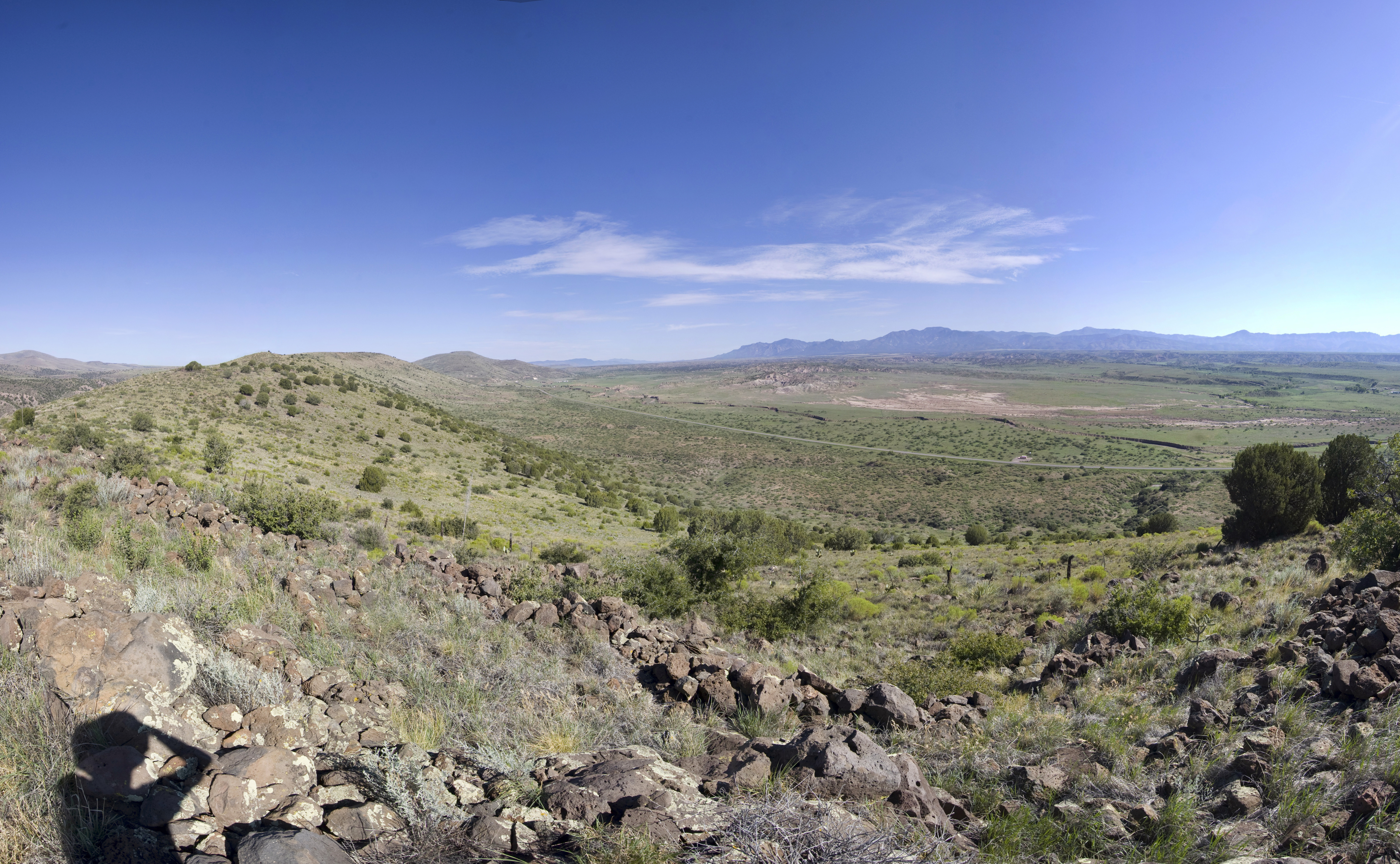
Area near Silver City, NM

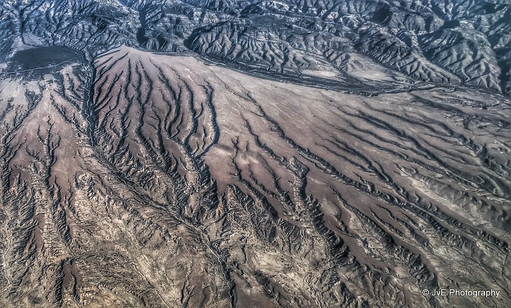
Aerial view at the Mimbres Mountains, MN

View at San Andres National Wildlife Refuge
Old Native American Outpost
Fall/Winter in the Gila
Fall/Winter in the Gila
Fall/Winter in the Gila
Fall/Winter in the Gila
Fall/Winter in the Gila
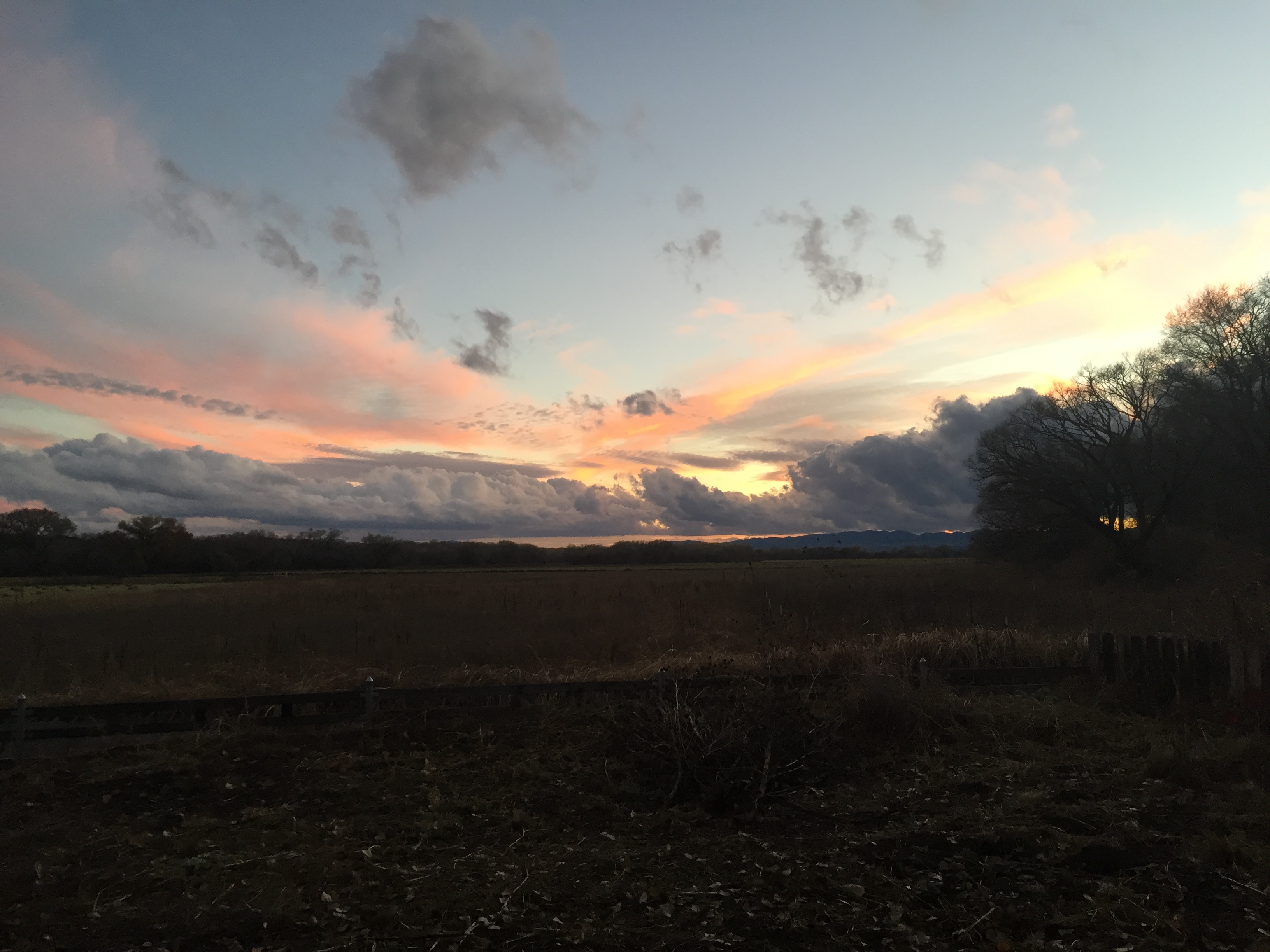
Fall/Winter in the Gila
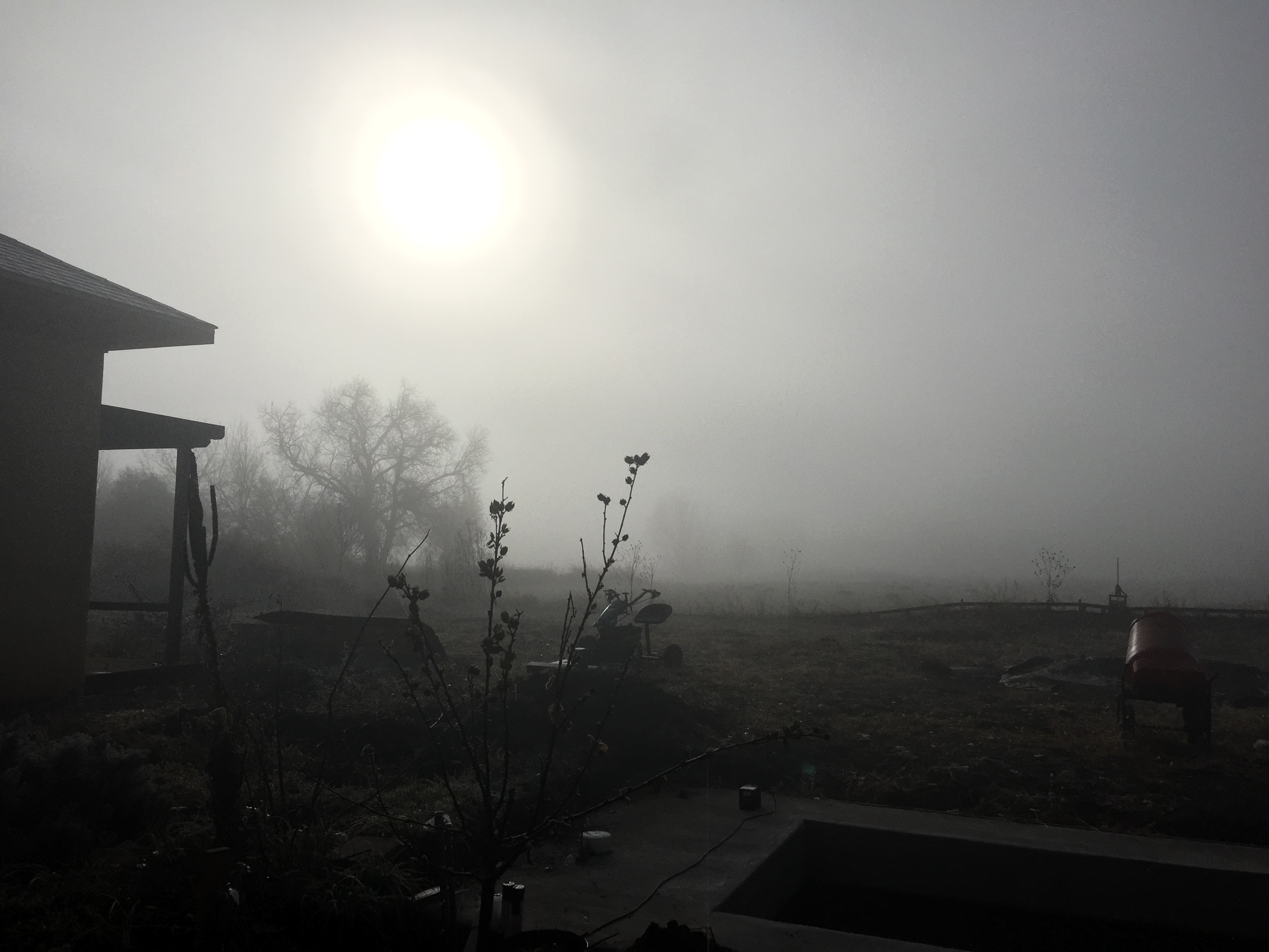
Fall/Winter in the Gila
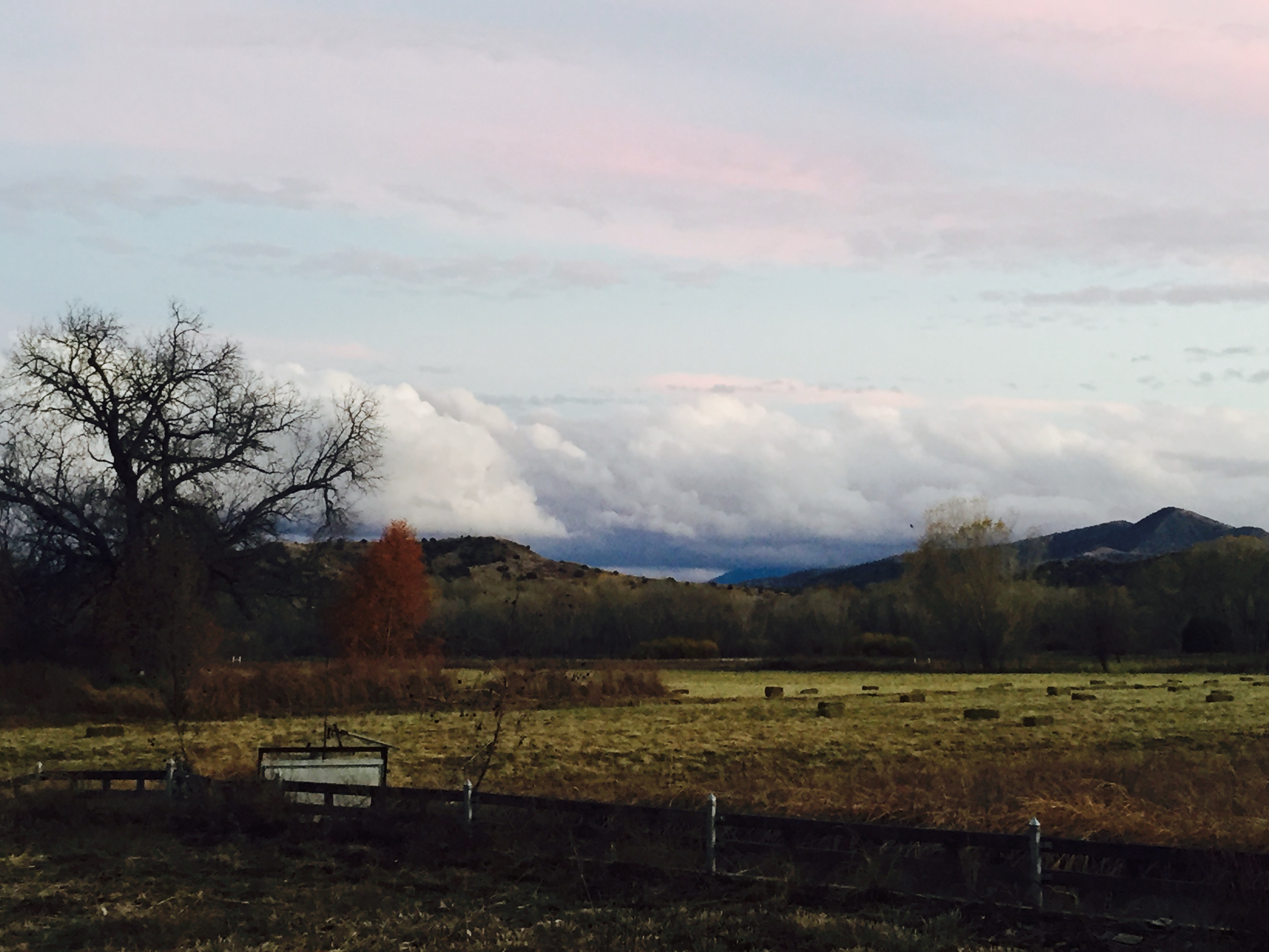
Fall/Winter in the Gila

Curves Mountain Grades TRUCKERS NOT RECOMMENDED - Hwy 78, New Mexico near Mule Creek, entering the GIla National Forest
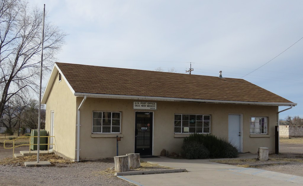
Post Office 88038 (Gila, New Mexico)
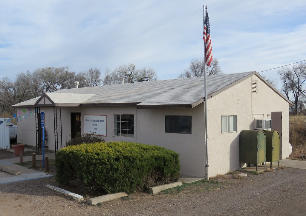
Post Office 88028 (Cliff, New Mexico)
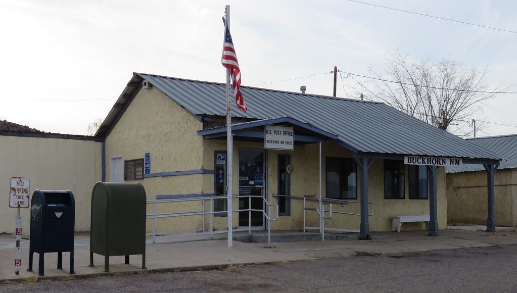
Post Office 88025 (Buckhorn, New Mexico)

Lone Tree
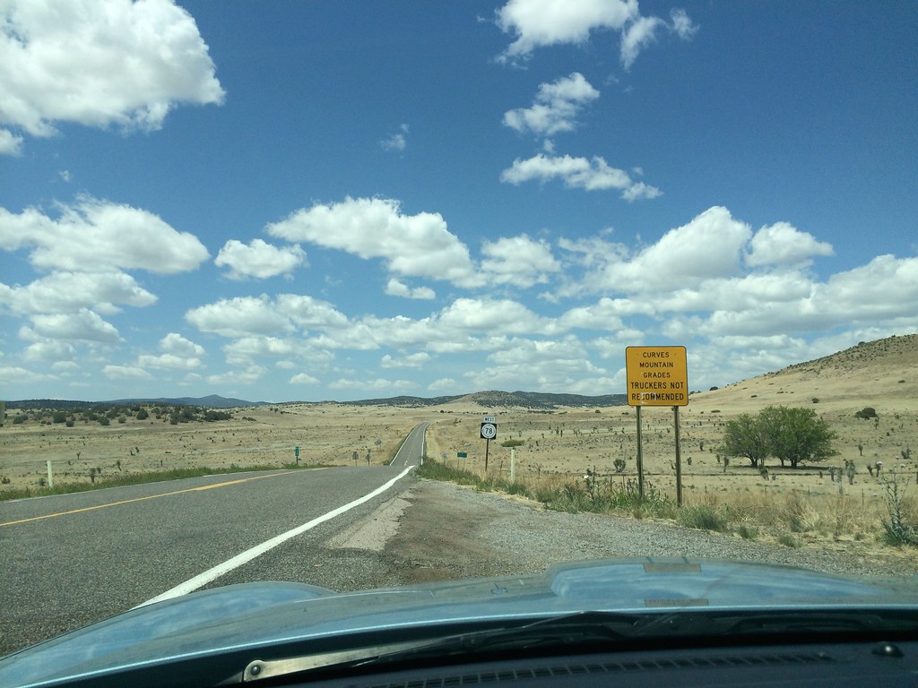
New Mexico route 78
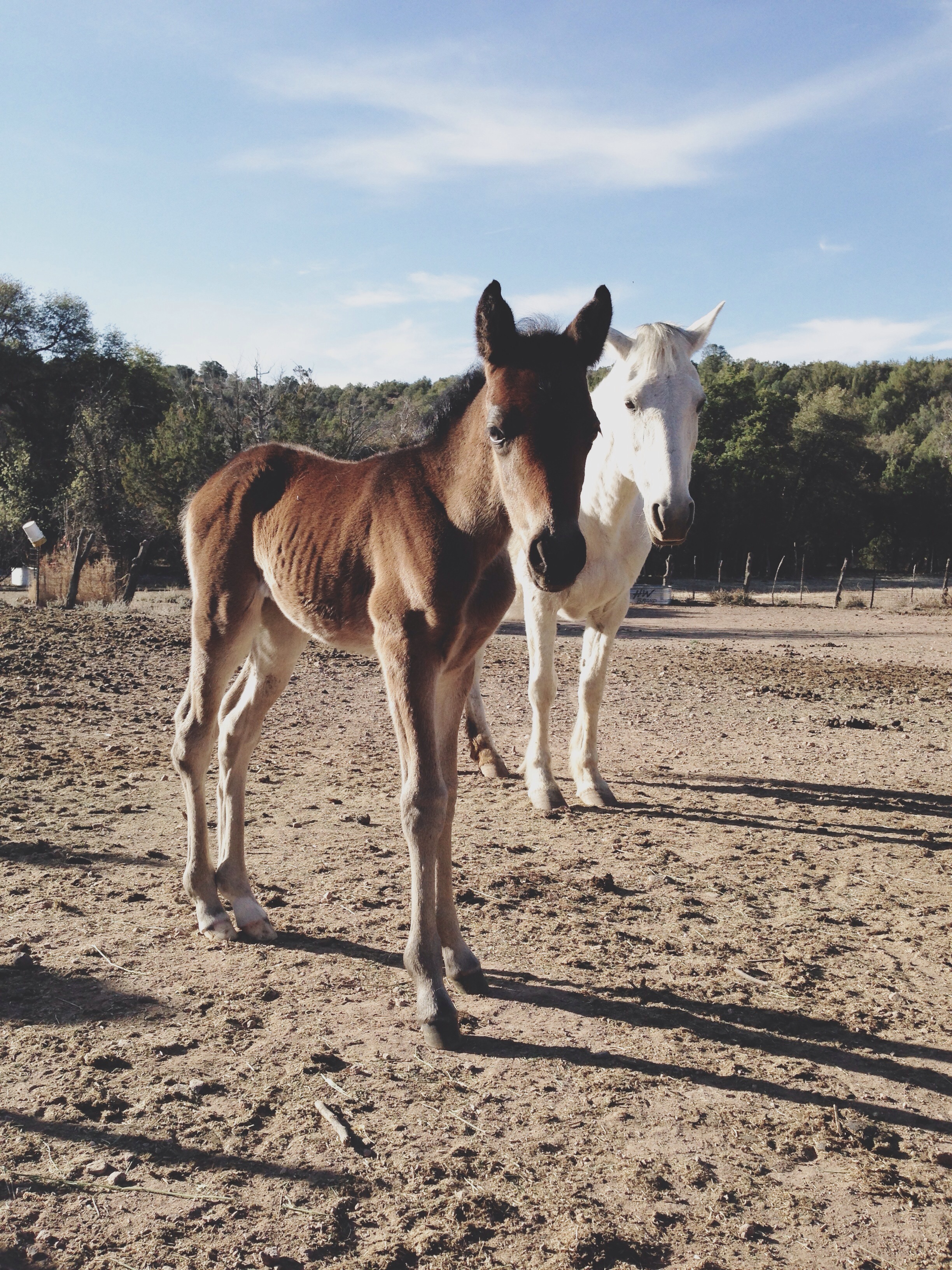
Two days old

Kenny and his son Rio on the way to divert the creek water to their farm. Little Rio spent the first part of his life traveling from Colorado to Mexico on horseback, camping out every night with his parents. Gila National Forest, NM
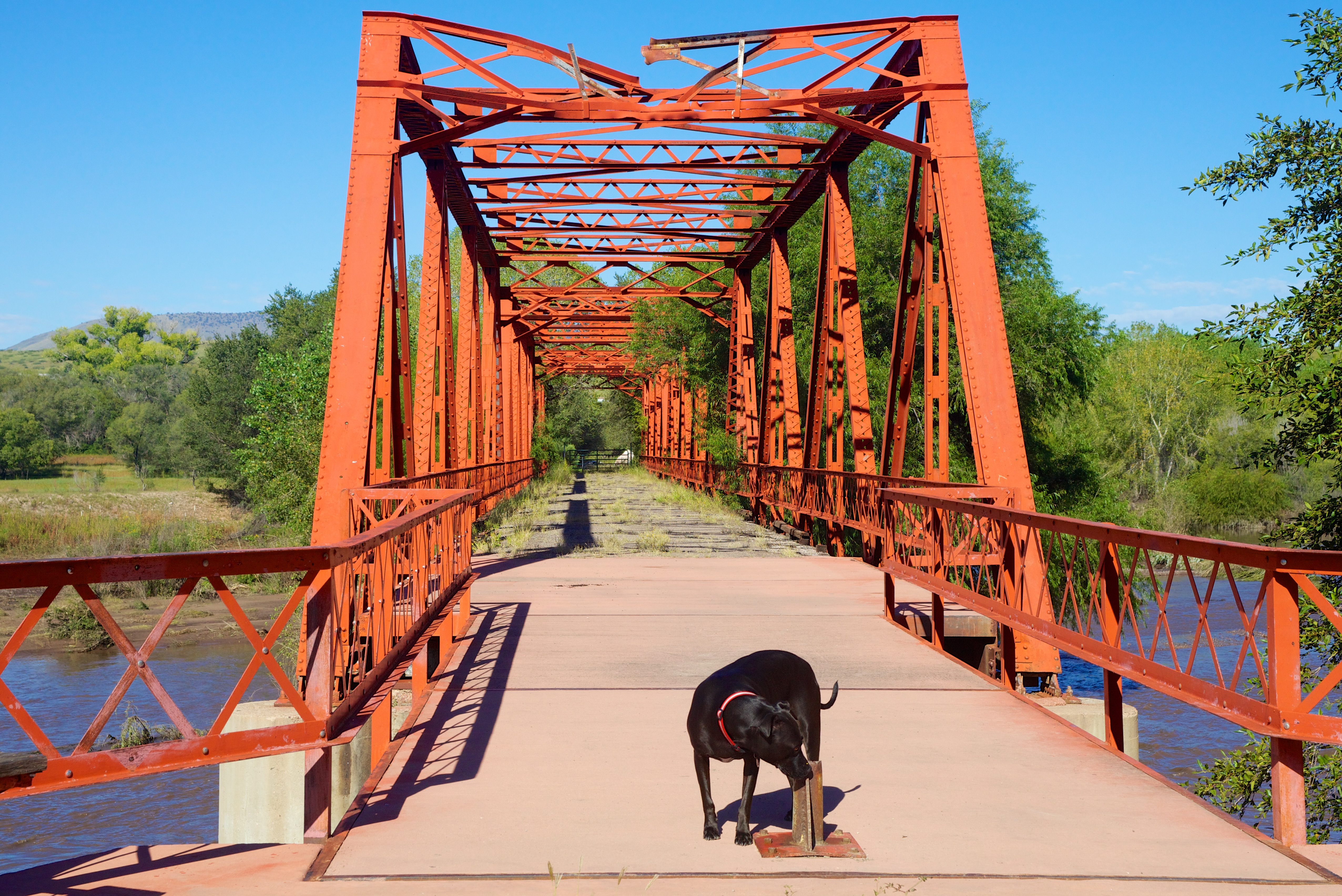
Cinder checking out "Old Iron Bridge"
Buckhorn, NM 美國的地圖
搜索其他地方的日出日落時間
Buckhorn, NM 美國的其他地方
附近地點
Duck Creek Rd, Buckhorn, NM 美國
Gila, NM, 美國
Airport Mesa Rd, Silver City, NM 美國Airport Mesa Road
Dry Section Mountain, New Mexico 美國
Seventyfour Mountain, New Mexico 美國
Applegate Mountain, New Mexico 美國
Mule Mountains HP, New Mexico 美國
Haystack Mountain, New Mexico 美國
New Mexico, 美國Aldo Leopold Vista Picnic Area (recgovnpsdata)
Shelley Peak, New Mexico 美國
Sheridan Mountain, New Mexico 美國
Deer Peak, New Mexico 美國
Sacaton Mountain, New Mexico 美國
Outlaw Mountain, New Mexico 美國
Sundial Mountain, New Mexico 美國
Brushy Mountain, New Mexico 美國
Mogollon Baldy Peak, New Mexico 美國
Mule Creek, NM 美國
Holt Mountain, New Mexico 美國
Crookson Peak, New Mexico 美國
最近搜索
- Red Dog Mine, AK, USA的日出日落時間表
- Am bhf, Borken, 德國Am Bahnhof的日出日落時間表
- 4th St E, Sonoma, CA 美國的日出日落時間表
- Oakland Ave, Williamsport, PA 美國的日出日落時間表
- Via Roma, Pieranica CR, 義大利的日出日落時間表
- 克羅埃西亞杜布羅夫尼克 GradClock Tower of Dubrovnik的日出日落時間表
- 阿根廷丘布特省特雷利烏的日出日落時間表
- Hartfords Bluff Cir, Mt Pleasant, SC 美國的日出日落時間表
- 日本熊本縣熊本市北區的日出日落時間表
- 中國福州市平潭縣平潭島的日出日落時間表