時區:太平洋標準時間
當地時間:2026年11月17日星期二 20:23
經度:-121.8878967
緯度:37.757899
今天日出時間:06:51:19
今天日落時間:16:56:38
今天日照時長:10h 5m 19s
明天日出時間:06:52:23
明天日落時間:16:55:59
明天日照時長:10h 3m 36s

: 顯示所有日期

日期 日出 日落 日照時長
2026年1月1日 07:24:02 16:59:39 9h 35m 36s
2026年2月1日 07:13:38 17:30:51 10h 17m 12s
2026年3月1日 06:41:56 18:01:10 11h 19m 14s
2026年4月1日 06:55:28 19:30:12 12h 34m 43s
2026年5月1日 06:14:09 19:57:44 13h 43m 35s
2026年6月1日 05:49:12 20:24:14 14h 35m 2s
2026年7月1日 05:50:06 20:34:39 14h 44m 32s
2026年8月1日 06:11:27 20:18:50 14h 7m 22s
2026年9月1日 06:38:15 19:40:30 13h 2m 15s
2026年10月1日 07:03:25 18:54:05 11h 50m 39s
2026年11月1日 07:33:03 18:11:44 10h 38m 41s
2026年11月18日 06:51:19 16:56:38 10h 5m 19s
2026年11月19日 06:52:23 16:55:59 10h 3m 36s
2026年12月1日 07:04:41 16:50:48 9h 46m 6s

日出日落照片

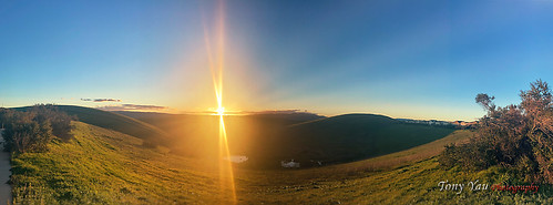
Sunset at San Ramon by ty328,, tonyyauphotography ty328 sunset sanramon california valley iphone11 apple appleiphone11
Sunset at San Ramon by ty328,
Sunset in the valley by ty328,, tonyyauphotography ty328 sunset sanramon california valley apple appleiphone11 nature sanramonvalley
Sunset in the valley by ty328,
Tree at Sunrise by abel_john, Just a treetree silhouette sunrise
Tree at Sunrise by abel_john
Pleasanton_CA.jpg by Jake.E.Perry, fog sunrise day pleasanton mistymorning pwgen
Pleasanton_CA.jpg by Jake.E.Perry
Storm Sunset by PrevailingConditions, We finally had a little rain come through. In addition to the rain, we had a bunch of clouds right a
Storm Sunset by PrevailingConditions
The Day After Rain by PrevailingConditions, If I had thought a little further ahead, I would have staked out a more interesting place, but I saw
The Day After Rain by PrevailingConditions
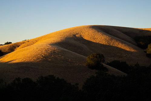
Shelter and Home by jacksonwwightman, wpd22nature side hillside trees hill landscape t5i rebel canon exploring hiking nature outside sunse
Shelter and Home by jacksonwwightman
Clayton Sunshower by mikeSF_, Sunrise in the Mt. Diablo foothills near Clayton, CA. I hiked up in the dark though some slick mud a
Clayton Sunshower by mikeSF_
Dawn: Mount Diablo by John-Morgan, This morning I did something that I had not done for too long--I got up at dawn and climbed one of t
Dawn: Mount Diablo by John-Morgan
comet panstarrs and crescent moon above round valley by Marc Crumpler (Ilikethenight), could not see comet with naked eye due to high clouds and bright twilightcalifornia trees winter sun
comet panstarrs and crescent moon above round valley by Marc Crumpler (Ilikethenight)
Twilight at the Beacon by Matt Granz Photography, A little last minute trip to the summit of Mt. Diablo was on the ticket for tonight. I've shot this
Twilight at the Beacon by Matt Granz Photography
Haven on Earth by jacksonwwightman, nature outside landscape grass hill rocks rock danville california sky blue evening canon rebel t5i
Haven on Earth by jacksonwwightman
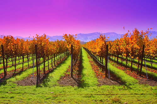
Fall Vineyards by dsacorn, Ruby Hill Vineyards. Pleasanton, CA, USA.
california ca blue sunset red sky orange green colors beau
Fall Vineyards by dsacorn
DSC00001 - Version 2 by Yasu Torigoe, View of San Francisco with Bay Bridge and Golden Gate (in the background) taken at sunrise from hill
DSC00001 - Version 2 by Yasu Torigoe
view of the arroyo fire out my bedroom window by pbo31, livermore, californialivermore california eastbay alamedacounty fire brush morning early lightstream
view of the arroyo fire out my bedroom window by pbo31
Livermore Sunrise by Images by John 'K', If the sunrises are going to continue looking like this, the extra 10 minutes on my commute will be
Livermore Sunrise by Images by John 'K'
breakaway by Ben Kimball, <a href="http://bighugelabs.com/onblack.php?id=3707677544&size=large" rel="nofollow">view on bla
breakaway by Ben Kimball
Layers of clouds over Bay Area by Tony Shi Photos, Mt. Diablo views

<a href="http://www.youtube.com/user/tonyshiphoto/videos" rel="nofollow">YouTube</
Layers of clouds over Bay Area by Tony Shi Photos
The Great California Rolling Green (Sunset Remix) Panorama by #NARtography, Full view from a NorCal hill!

<b>Location</b>: Tassajara Ridge Trailnikon nikonusa nikkor d750 gree
The Great California Rolling Green (Sunset Remix) Panorama by #NARtography
the morgan hill fire monday morning september 9th by pbo31, the morgan hill fire on the slopes of mt. diablo - shot from san ramon, california..

8 stitched ima
the morgan hill fire monday morning september 9th by pbo31
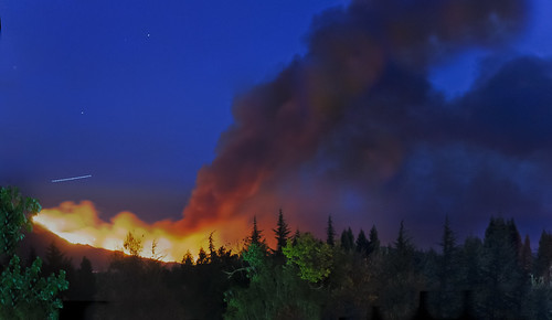
early morning brush fire ignited by thunderstorms by pbo31, livermore, californialivermore california eastbay alamedacounty fire brush morning early lightstream
early morning brush fire ignited by thunderstorms by pbo31
Mt. Diablo Sunset by wbirt1, A lone dove watches the sun set over the north slope of Mt. Diablo 100 miles to the west.  soe flick
Mt. Diablo Sunset by wbirt1
schaefer ranch parcel by pbo31, over highway 580 - west dublin, california. 2 stitched images.bayarea california eastbay alamedacoun
schaefer ranch parcel by pbo31
the holiday inn circular by pbo31, highway 580 - dublin, californiabayarea california eastbay alamedacounty night highway black color d
the holiday inn circular by pbo31
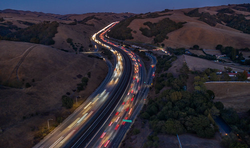
highway 580 at pacheco creek by pbo31, castro valley, californiabayarea california eastbay alamedacounty drone mavic2 dji over aerial night
highway 580 at pacheco creek by pbo31
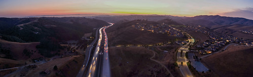
donlon point panorama by pbo31, over highway 580 - west dublin, california. 3 stitched images.bayarea california eastbay alamedacoun
donlon point panorama by pbo31
las colinas panorama by pbo31, over highway 580 - livermore, california. 2 stitched images.eastbay alamedacounty bayarea california
las colinas panorama by pbo31
palo verde pass by pbo31, castro valley, californiabayarea california eastbay alamedacounty drone mavic2 dji over aerial night
palo verde pass by pbo31
DSC08090 by Yasu Torigoe,
DSC08090 by Yasu Torigoe
wings of freedom 2017 tour by pbo31, livermore municipal airport - livermore california. 3 stitched images.bayarea california nikon d810
wings of freedom 2017 tour by pbo31
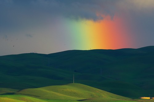
Pouring Light by Roundtoad, A rainbow behind the Altamont Hills taken last Friday right before sunset.  I really like the streak
Pouring Light by Roundtoad
Satellite Sunset by #NARtography, Uploading this first because I like the remix way more than the original. You definitely know the fe
Satellite Sunset by #NARtography
... and so it begins by Images by John 'K', We've just moved house (hence me being somewhat quiet on here for a while), but we are now mostly mo
... and so it begins by Images by John 'K'
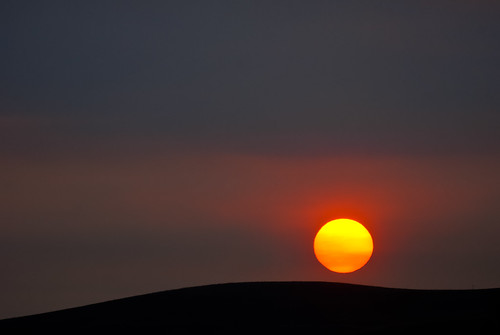
the sun rises through a red haze of smoke from the morgan hill fire by pbo31, san ramon, californiacalifornia park red summer sun color sunrise fire rising haze nikon sanramon sm
the sun rises through a red haze of smoke from the morgan hill fire by pbo31
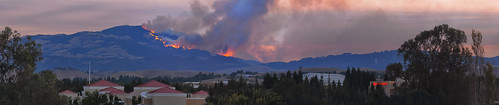
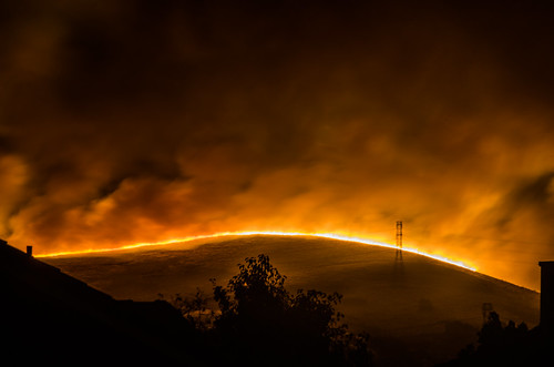
ablaze base to summit by pbo31, the 2013 morgan hill fire on mt. diablo, 6:30am, day one.  shot from san ramon, californiacalifornia
ablaze base to summit by pbo31
n2a wingfoot 2 by pbo31, livermore, californialivermore california nikon d810 color eastbay alamedacounty airport aviation ma
n2a wingfoot 2 by pbo31
mt. diablo shadows by pbo31, danville, california 2 stitched images.bayarea contracostacounty drone mavic2 dji over aerial color
mt. diablo shadows by pbo31
Morgan Territory snow by Marc Crumpler (Ilikethenight), usa california bayarea sfbayarea eastbay livermore contracostacounty morganterritory marccrumpler su
Morgan Territory snow by Marc Crumpler (Ilikethenight)
ecliptic equinox by pbo31, livermore, californiacalifornia blue winter sunset sky color reflection tree nature silhouette north
ecliptic equinox by pbo31
Morning Clouds on Ridge by jeffmgrandy, Morning Clouds on Ridge
Paint the Sky
Picture   9
by Jeffrey Grandy
livermore hiking landscape hills
Morning Clouds on Ridge by jeffmgrandy
chateau progress 7.20.19 by pbo31, livermore, californialivermore california chateau wine grapes season construction sunset green count
chateau progress 7.20.19 by pbo31
the semi-secret big mining town by pbo31, over cemex's eliot surface gravel mine and processing plant - pleasanton, california. 4 stitched ima
the semi-secret big mining town by pbo31
Welcome Ending by jacksonwwightman, pleasanton ridge regional park outside nature winter hiking exploring hill hillside sunset tree tree
Welcome Ending by jacksonwwightman
Concannon Vineyard by BenitaMarquez, A Founding Family of California Wines – Over 127 years as the first successful Irish-American winery
Concannon Vineyard by BenitaMarquez
blue hour burning by pbo31, the morgan hill fire on mt. diablo just before dawn sunday morning - san ramon, californiacalifornia
blue hour burning by pbo31
Dew by Immortal Penguin, This is simply dew on a plant at a park near my house. I went to shoot the sunrise, but this ended u
Dew by Immortal Penguin
municipal launch by pbo31, livermore, californialivermore california nikon d810 color eastbay alamedacounty airport aviation ma
municipal launch by pbo31
belt lifts at the yard by pbo31, gravel quarry - pleasanton, california. 2 stitched images.california november sunset plant motion co
belt lifts at the yard by pbo31
Sun Trap by jacksonwwightman, ebparks westcoast eastbay danville sanramon gold grass evening hiking hike outside nature t5i rebel
Sun Trap by jacksonwwightman
DSC00776 by marshallculp, beautiful sunrise in the Livermore valleysunrise sony cybershot marsh dsc rx1
DSC00776 by marshallculp
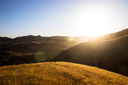
Secret Valleys by jacksonwwightman, hills nature outside landscape sunset canon rebel t5i california grass summer hiking bay area ebpark
Secret Valleys by jacksonwwightman
Sunrise Diablo Club! by lumachrome, flickrandroidapp:filter=none
Sunrise Diablo Club! by lumachrome
the birds evacuated by pbo31, the morgan hill fire - shot from san ramon, californiacalifornia park summer color birds sunrise fir
the birds evacuated by pbo31
sunrise hummingbird by pbo31, livermore / pleasanton, californiabayarea california nikon d810 color december 2018 boury pbo31 east
sunrise hummingbird by pbo31
Love by jacksonwwightman, hills california sunset las trampas east bay regional park hiking outside nature warmth grass hometo
Love by jacksonwwightman
portola exit by pbo31, highway 580 - livermore, californiacalifornia blue winter sunset sky color nikon highway ramp traffi
portola exit by pbo31
regional approach by pbo31, livermore regional airport (lvr) - livermore, californiacalifornia nikon d810 night black dark octob
regional approach by pbo31
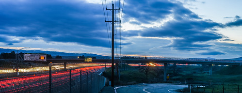
portola avenue overpass by pbo31, highway 580 - livermore, california. 2 stitched images.california blue winter sunset sky panorama co
portola avenue overpass by pbo31
sunset over las colinas by pbo31, highway 580 - livermore, californialivermore eastbay alamedacounty highway 580 dark black color ramp
sunset over las colinas by pbo31
EBRPD - Round Valley Regional Preserve - First light on Diablo by JeffManas, snow sunrise mtdiablo alpenglow roundvalley roundvalleyregionalpreserve claytonca ebparksok
EBRPD - Round Valley Regional Preserve - First light on Diablo by JeffManas