Rockport, WA 美國Bear Creek Campground的日出日落時間表
Location: 美國 > 華盛頓 > 美國 >
時區:
America/Los_Angeles
當地時間:
2025-06-21 05:20:36
經度:
-121.3869833
緯度:
48.9648503
今天日出時間:
05:01:32 AM
今天日落時間:
09:13:31 PM
今天日照時長:
16h 11m 59s
明天日出時間:
05:01:49 AM
明天日落時間:
09:13:41 PM
明天日照時長:
16h 11m 52s
顯示所有日期
| 日期 | 日出 | 日落 | 日照時長 |
|---|---|---|---|
| 2025年01月01日 | 07:59:10 AM | 04:20:22 PM | 8h 21m 12s |
| 2025年01月02日 | 07:59:02 AM | 04:21:26 PM | 8h 22m 24s |
| 2025年01月03日 | 07:58:50 AM | 04:22:31 PM | 8h 23m 41s |
| 2025年01月04日 | 07:58:36 AM | 04:23:39 PM | 8h 25m 3s |
| 2025年01月05日 | 07:58:19 AM | 04:24:49 PM | 8h 26m 30s |
| 2025年01月06日 | 07:57:58 AM | 04:26:01 PM | 8h 28m 3s |
| 2025年01月07日 | 07:57:35 AM | 04:27:15 PM | 8h 29m 40s |
| 2025年01月08日 | 07:57:09 AM | 04:28:31 PM | 8h 31m 22s |
| 2025年01月09日 | 07:56:40 AM | 04:29:48 PM | 8h 33m 8s |
| 2025年01月10日 | 07:56:08 AM | 04:31:07 PM | 8h 34m 59s |
| 2025年01月11日 | 07:55:33 AM | 04:32:28 PM | 8h 36m 55s |
| 2025年01月12日 | 07:54:55 AM | 04:33:50 PM | 8h 38m 55s |
| 2025年01月13日 | 07:54:15 AM | 04:35:14 PM | 8h 40m 59s |
| 2025年01月14日 | 07:53:32 AM | 04:36:39 PM | 8h 43m 7s |
| 2025年01月15日 | 07:52:46 AM | 04:38:06 PM | 8h 45m 20s |
| 2025年01月16日 | 07:51:58 AM | 04:39:34 PM | 8h 47m 36s |
| 2025年01月17日 | 07:51:07 AM | 04:41:03 PM | 8h 49m 56s |
| 2025年01月18日 | 07:50:13 AM | 04:42:33 PM | 8h 52m 20s |
| 2025年01月19日 | 07:49:17 AM | 04:44:04 PM | 8h 54m 47s |
| 2025年01月20日 | 07:48:18 AM | 04:45:36 PM | 8h 57m 18s |
| 2025年01月21日 | 07:47:17 AM | 04:47:09 PM | 8h 59m 52s |
| 2025年01月22日 | 07:46:14 AM | 04:48:43 PM | 9h 2m 29s |
| 2025年01月23日 | 07:45:08 AM | 04:50:17 PM | 9h 5m 9s |
| 2025年01月24日 | 07:44:00 AM | 04:51:52 PM | 9h 7m 52s |
| 2025年01月25日 | 07:42:50 AM | 04:53:28 PM | 9h 10m 38s |
| 2025年01月26日 | 07:41:37 AM | 04:55:05 PM | 9h 13m 28s |
| 2025年01月27日 | 07:40:23 AM | 04:56:42 PM | 9h 16m 19s |
| 2025年01月28日 | 07:39:06 AM | 04:58:19 PM | 9h 19m 13s |
| 2025年01月29日 | 07:37:47 AM | 04:59:57 PM | 9h 22m 10s |
| 2025年01月30日 | 07:36:27 AM | 05:01:35 PM | 9h 25m 8s |
| 2025年01月31日 | 07:35:04 AM | 05:03:14 PM | 9h 28m 10s |
| 2025年02月01日 | 07:33:39 AM | 05:04:53 PM | 9h 31m 14s |
| 2025年02月02日 | 07:32:13 AM | 05:06:32 PM | 9h 34m 19s |
| 2025年02月03日 | 07:30:45 AM | 05:08:11 PM | 9h 37m 26s |
| 2025年02月04日 | 07:29:15 AM | 05:09:51 PM | 9h 40m 36s |
| 2025年02月05日 | 07:27:43 AM | 05:11:30 PM | 9h 43m 47s |
| 2025年02月06日 | 07:26:10 AM | 05:13:10 PM | 9h 47m 0s |
| 2025年02月07日 | 07:24:35 AM | 05:14:49 PM | 9h 50m 14s |
| 2025年02月08日 | 07:22:58 AM | 05:16:29 PM | 9h 53m 31s |
| 2025年02月09日 | 07:21:20 AM | 05:18:08 PM | 9h 56m 48s |
| 2025年02月10日 | 07:19:40 AM | 05:19:48 PM | 10h 0m 8s |
| 2025年02月11日 | 07:17:59 AM | 05:21:27 PM | 10h 3m 28s |
| 2025年02月12日 | 07:16:17 AM | 05:23:07 PM | 10h 6m 50s |
| 2025年02月13日 | 07:14:33 AM | 05:24:46 PM | 10h 10m 13s |
| 2025年02月14日 | 07:12:48 AM | 05:26:25 PM | 10h 13m 37s |
| 2025年02月15日 | 07:11:02 AM | 05:28:04 PM | 10h 17m 2s |
| 2025年02月16日 | 07:09:14 AM | 05:29:42 PM | 10h 20m 28s |
| 2025年02月17日 | 07:07:26 AM | 05:31:21 PM | 10h 23m 55s |
| 2025年02月18日 | 07:05:36 AM | 05:32:59 PM | 10h 27m 23s |
| 2025年02月19日 | 07:03:45 AM | 05:34:37 PM | 10h 30m 52s |
| 2025年02月20日 | 07:01:53 AM | 05:36:15 PM | 10h 34m 22s |
| 2025年02月21日 | 07:00:00 AM | 05:37:52 PM | 10h 37m 52s |
| 2025年02月22日 | 06:58:06 AM | 05:39:30 PM | 10h 41m 24s |
| 2025年02月23日 | 06:56:11 AM | 05:41:07 PM | 10h 44m 56s |
| 2025年02月24日 | 06:54:16 AM | 05:42:43 PM | 10h 48m 27s |
| 2025年02月25日 | 06:52:19 AM | 05:44:20 PM | 10h 52m 1s |
| 2025年02月26日 | 06:50:21 AM | 05:45:56 PM | 10h 55m 35s |
| 2025年02月27日 | 06:48:23 AM | 05:47:32 PM | 10h 59m 9s |
| 2025年02月28日 | 06:46:24 AM | 05:49:08 PM | 11h 2m 44s |
| 2025年03月01日 | 06:44:25 AM | 05:50:43 PM | 11h 6m 18s |
| 2025年03月02日 | 06:42:24 AM | 05:52:18 PM | 11h 9m 54s |
| 2025年03月03日 | 06:40:23 AM | 05:53:53 PM | 11h 13m 30s |
| 2025年03月04日 | 06:38:22 AM | 05:55:27 PM | 11h 17m 5s |
| 2025年03月05日 | 06:36:20 AM | 05:57:02 PM | 11h 20m 42s |
| 2025年03月06日 | 06:34:17 AM | 05:58:36 PM | 11h 24m 19s |
| 2025年03月07日 | 06:32:14 AM | 06:00:09 PM | 11h 27m 55s |
| 2025年03月08日 | 06:30:10 AM | 06:01:43 PM | 11h 31m 33s |
| 2025年03月09日 | 07:28:11 AM | 07:03:12 PM | 11h 35m 1s |
| 2025年03月10日 | 07:26:07 AM | 07:04:45 PM | 11h 38m 38s |
| 2025年03月11日 | 07:24:02 AM | 07:06:18 PM | 11h 42m 16s |
| 2025年03月12日 | 07:21:56 AM | 07:07:51 PM | 11h 45m 55s |
| 2025年03月13日 | 07:19:51 AM | 07:09:23 PM | 11h 49m 32s |
| 2025年03月14日 | 07:17:45 AM | 07:10:55 PM | 11h 53m 10s |
| 2025年03月15日 | 07:15:39 AM | 07:12:27 PM | 11h 56m 48s |
| 2025年03月16日 | 07:13:33 AM | 07:13:59 PM | 12h 0m 26s |
| 2025年03月17日 | 07:11:26 AM | 07:15:30 PM | 12h 4m 4s |
| 2025年03月18日 | 07:09:20 AM | 07:17:02 PM | 12h 7m 42s |
| 2025年03月19日 | 07:07:13 AM | 07:18:33 PM | 12h 11m 20s |
| 2025年03月20日 | 07:05:06 AM | 07:20:04 PM | 12h 14m 58s |
| 2025年03月21日 | 07:03:00 AM | 07:21:35 PM | 12h 18m 35s |
| 2025年03月22日 | 07:00:53 AM | 07:23:06 PM | 12h 22m 13s |
| 2025年03月23日 | 06:58:46 AM | 07:24:37 PM | 12h 25m 51s |
| 2025年03月24日 | 06:56:39 AM | 07:26:08 PM | 12h 29m 29s |
| 2025年03月25日 | 06:54:32 AM | 07:27:38 PM | 12h 33m 6s |
| 2025年03月26日 | 06:52:26 AM | 07:29:09 PM | 12h 36m 43s |
| 2025年03月27日 | 06:50:19 AM | 07:30:39 PM | 12h 40m 20s |
| 2025年03月28日 | 06:48:13 AM | 07:32:09 PM | 12h 43m 56s |
| 2025年03月29日 | 06:46:06 AM | 07:33:39 PM | 12h 47m 33s |
| 2025年03月30日 | 06:44:01 AM | 07:35:10 PM | 12h 51m 9s |
| 2025年03月31日 | 06:41:55 AM | 07:36:40 PM | 12h 54m 45s |
| 2025年04月01日 | 06:39:49 AM | 07:38:10 PM | 12h 58m 21s |
| 2025年04月02日 | 06:37:44 AM | 07:39:40 PM | 13h 1m 56s |
| 2025年04月03日 | 06:35:40 AM | 07:41:10 PM | 13h 5m 30s |
| 2025年04月04日 | 06:33:35 AM | 07:42:40 PM | 13h 9m 5s |
| 2025年04月05日 | 06:31:31 AM | 07:44:10 PM | 13h 12m 39s |
| 2025年04月06日 | 06:29:28 AM | 07:45:40 PM | 13h 16m 12s |
| 2025年04月07日 | 06:27:25 AM | 07:47:10 PM | 13h 19m 45s |
| 2025年04月08日 | 06:25:22 AM | 07:48:40 PM | 13h 23m 18s |
| 2025年04月09日 | 06:23:20 AM | 07:50:09 PM | 13h 26m 49s |
| 2025年04月10日 | 06:21:19 AM | 07:51:39 PM | 13h 30m 20s |
| 2025年04月11日 | 06:19:18 AM | 07:53:09 PM | 13h 33m 51s |
| 2025年04月12日 | 06:17:18 AM | 07:54:39 PM | 13h 37m 21s |
| 2025年04月13日 | 06:15:18 AM | 07:56:09 PM | 13h 40m 51s |
| 2025年04月14日 | 06:13:19 AM | 07:57:39 PM | 13h 44m 20s |
| 2025年04月15日 | 06:11:21 AM | 07:59:09 PM | 13h 47m 48s |
| 2025年04月16日 | 06:09:24 AM | 08:00:38 PM | 13h 51m 14s |
| 2025年04月17日 | 06:07:28 AM | 08:02:08 PM | 13h 54m 40s |
| 2025年04月18日 | 06:05:32 AM | 08:03:38 PM | 13h 58m 6s |
| 2025年04月19日 | 06:03:37 AM | 08:05:08 PM | 14h 1m 31s |
| 2025年04月20日 | 06:01:44 AM | 08:06:37 PM | 14h 4m 53s |
| 2025年04月21日 | 05:59:51 AM | 08:08:07 PM | 14h 8m 16s |
| 2025年04月22日 | 05:57:59 AM | 08:09:36 PM | 14h 11m 37s |
| 2025年04月23日 | 05:56:08 AM | 08:11:06 PM | 14h 14m 58s |
| 2025年04月24日 | 05:54:19 AM | 08:12:35 PM | 14h 18m 16s |
| 2025年04月25日 | 05:52:30 AM | 08:14:04 PM | 14h 21m 34s |
| 2025年04月26日 | 05:50:43 AM | 08:15:33 PM | 14h 24m 50s |
| 2025年04月27日 | 05:48:57 AM | 08:17:01 PM | 14h 28m 4s |
| 2025年04月28日 | 05:47:12 AM | 08:18:30 PM | 14h 31m 18s |
| 2025年04月29日 | 05:45:28 AM | 08:19:58 PM | 14h 34m 30s |
| 2025年04月30日 | 05:43:46 AM | 08:21:26 PM | 14h 37m 40s |
| 2025年05月01日 | 05:42:05 AM | 08:22:54 PM | 14h 40m 49s |
| 2025年05月02日 | 05:40:25 AM | 08:24:22 PM | 14h 43m 57s |
| 2025年05月03日 | 05:38:47 AM | 08:25:49 PM | 14h 47m 2s |
| 2025年05月04日 | 05:37:10 AM | 08:27:15 PM | 14h 50m 5s |
| 2025年05月05日 | 05:35:35 AM | 08:28:42 PM | 14h 53m 7s |
| 2025年05月06日 | 05:34:02 AM | 08:30:08 PM | 14h 56m 6s |
| 2025年05月07日 | 05:32:30 AM | 08:31:33 PM | 14h 59m 3s |
| 2025年05月08日 | 05:30:59 AM | 08:32:58 PM | 15h 1m 59s |
| 2025年05月09日 | 05:29:31 AM | 08:34:23 PM | 15h 4m 52s |
| 2025年05月10日 | 05:28:04 AM | 08:35:46 PM | 15h 7m 42s |
| 2025年05月11日 | 05:26:39 AM | 08:37:09 PM | 15h 10m 30s |
| 2025年05月12日 | 05:25:16 AM | 08:38:32 PM | 15h 13m 16s |
| 2025年05月13日 | 05:23:54 AM | 08:39:54 PM | 15h 16m 0s |
| 2025年05月14日 | 05:22:35 AM | 08:41:15 PM | 15h 18m 40s |
| 2025年05月15日 | 05:21:17 AM | 08:42:35 PM | 15h 21m 18s |
| 2025年05月16日 | 05:20:02 AM | 08:43:54 PM | 15h 23m 52s |
| 2025年05月17日 | 05:18:48 AM | 08:45:12 PM | 15h 26m 24s |
| 2025年05月18日 | 05:17:37 AM | 08:46:29 PM | 15h 28m 52s |
| 2025年05月19日 | 05:16:28 AM | 08:47:46 PM | 15h 31m 18s |
| 2025年05月20日 | 05:15:21 AM | 08:49:01 PM | 15h 33m 40s |
| 2025年05月21日 | 05:14:16 AM | 08:50:15 PM | 15h 35m 59s |
| 2025年05月22日 | 05:13:13 AM | 08:51:28 PM | 15h 38m 15s |
| 2025年05月23日 | 05:12:13 AM | 08:52:39 PM | 15h 40m 26s |
| 2025年05月24日 | 05:11:15 AM | 08:53:49 PM | 15h 42m 34s |
| 2025年05月25日 | 05:10:19 AM | 08:54:58 PM | 15h 44m 39s |
| 2025年05月26日 | 05:09:26 AM | 08:56:05 PM | 15h 46m 39s |
| 2025年05月27日 | 05:08:35 AM | 08:57:11 PM | 15h 48m 36s |
| 2025年05月28日 | 05:07:47 AM | 08:58:15 PM | 15h 50m 28s |
| 2025年05月29日 | 05:07:01 AM | 08:59:18 PM | 15h 52m 17s |
| 2025年05月30日 | 05:06:18 AM | 09:00:19 PM | 15h 54m 1s |
| 2025年05月31日 | 05:05:37 AM | 09:01:18 PM | 15h 55m 41s |
| 2025年06月01日 | 05:04:59 AM | 09:02:15 PM | 15h 57m 16s |
| 2025年06月02日 | 05:04:24 AM | 09:03:11 PM | 15h 58m 47s |
| 2025年06月03日 | 05:03:51 AM | 09:04:04 PM | 16h 0m 13s |
| 2025年06月04日 | 05:03:21 AM | 09:04:56 PM | 16h 1m 35s |
| 2025年06月05日 | 05:02:53 AM | 09:05:45 PM | 16h 2m 52s |
| 2025年06月06日 | 05:02:28 AM | 09:06:33 PM | 16h 4m 5s |
| 2025年06月07日 | 05:02:06 AM | 09:07:18 PM | 16h 5m 12s |
| 2025年06月08日 | 05:01:47 AM | 09:08:01 PM | 16h 6m 14s |
| 2025年06月09日 | 05:01:30 AM | 09:08:42 PM | 16h 7m 12s |
| 2025年06月10日 | 05:01:16 AM | 09:09:20 PM | 16h 8m 4s |
| 2025年06月11日 | 05:01:05 AM | 09:09:56 PM | 16h 8m 51s |
| 2025年06月12日 | 05:00:56 AM | 09:10:30 PM | 16h 9m 34s |
| 2025年06月13日 | 05:00:51 AM | 09:11:01 PM | 16h 10m 10s |
| 2025年06月14日 | 05:00:48 AM | 09:11:30 PM | 16h 10m 42s |
| 2025年06月15日 | 05:00:47 AM | 09:11:56 PM | 16h 11m 9s |
| 2025年06月16日 | 05:00:50 AM | 09:12:19 PM | 16h 11m 29s |
| 2025年06月17日 | 05:00:55 AM | 09:12:40 PM | 16h 11m 45s |
| 2025年06月18日 | 05:01:03 AM | 09:12:59 PM | 16h 11m 56s |
| 2025年06月19日 | 05:01:13 AM | 09:13:14 PM | 16h 12m 1s |
| 2025年06月20日 | 05:01:26 AM | 09:13:27 PM | 16h 12m 1s |
| 2025年06月21日 | 05:01:42 AM | 09:13:38 PM | 16h 11m 56s |
| 2025年06月22日 | 05:02:00 AM | 09:13:45 PM | 16h 11m 45s |
| 2025年06月23日 | 05:02:21 AM | 09:13:50 PM | 16h 11m 29s |
| 2025年06月24日 | 05:02:45 AM | 09:13:52 PM | 16h 11m 7s |
| 2025年06月25日 | 05:03:11 AM | 09:13:51 PM | 16h 10m 40s |
| 2025年06月26日 | 05:03:39 AM | 09:13:48 PM | 16h 10m 9s |
| 2025年06月27日 | 05:04:10 AM | 09:13:41 PM | 16h 9m 31s |
| 2025年06月28日 | 05:04:43 AM | 09:13:32 PM | 16h 8m 49s |
| 2025年06月29日 | 05:05:19 AM | 09:13:20 PM | 16h 8m 1s |
| 2025年06月30日 | 05:05:56 AM | 09:13:06 PM | 16h 7m 10s |
| 2025年07月01日 | 05:06:36 AM | 09:12:48 PM | 16h 6m 12s |
| 2025年07月02日 | 05:07:19 AM | 09:12:28 PM | 16h 5m 9s |
| 2025年07月03日 | 05:08:03 AM | 09:12:05 PM | 16h 4m 2s |
| 2025年07月04日 | 05:08:49 AM | 09:11:39 PM | 16h 2m 50s |
| 2025年07月05日 | 05:09:38 AM | 09:11:11 PM | 16h 1m 33s |
| 2025年07月06日 | 05:10:28 AM | 09:10:40 PM | 16h 0m 12s |
| 2025年07月07日 | 05:11:20 AM | 09:10:06 PM | 15h 58m 46s |
| 2025年07月08日 | 05:12:15 AM | 09:09:30 PM | 15h 57m 15s |
| 2025年07月09日 | 05:13:11 AM | 09:08:51 PM | 15h 55m 40s |
| 2025年07月10日 | 05:14:08 AM | 09:08:09 PM | 15h 54m 1s |
| 2025年07月11日 | 05:15:08 AM | 09:07:24 PM | 15h 52m 16s |
| 2025年07月12日 | 05:16:08 AM | 09:06:38 PM | 15h 50m 30s |
| 2025年07月13日 | 05:17:11 AM | 09:05:48 PM | 15h 48m 37s |
| 2025年07月14日 | 05:18:15 AM | 09:04:56 PM | 15h 46m 41s |
| 2025年07月15日 | 05:19:20 AM | 09:04:02 PM | 15h 44m 42s |
| 2025年07月16日 | 05:20:27 AM | 09:03:05 PM | 15h 42m 38s |
| 2025年07月17日 | 05:21:35 AM | 09:02:06 PM | 15h 40m 31s |
| 2025年07月18日 | 05:22:44 AM | 09:01:05 PM | 15h 38m 21s |
| 2025年07月19日 | 05:23:55 AM | 09:00:01 PM | 15h 36m 6s |
| 2025年07月20日 | 05:25:06 AM | 08:58:55 PM | 15h 33m 49s |
| 2025年07月21日 | 05:26:19 AM | 08:57:47 PM | 15h 31m 28s |
| 2025年07月22日 | 05:27:33 AM | 08:56:36 PM | 15h 29m 3s |
| 2025年07月23日 | 05:28:47 AM | 08:55:24 PM | 15h 26m 37s |
| 2025年07月24日 | 05:30:03 AM | 08:54:09 PM | 15h 24m 6s |
| 2025年07月25日 | 05:31:19 AM | 08:52:53 PM | 15h 21m 34s |
| 2025年07月26日 | 05:32:37 AM | 08:51:34 PM | 15h 18m 57s |
| 2025年07月27日 | 05:33:55 AM | 08:50:13 PM | 15h 16m 18s |
| 2025年07月28日 | 05:35:13 AM | 08:48:51 PM | 15h 13m 38s |
| 2025年07月29日 | 05:36:33 AM | 08:47:26 PM | 15h 10m 53s |
| 2025年07月30日 | 05:37:53 AM | 08:46:00 PM | 15h 8m 7s |
| 2025年07月31日 | 05:39:13 AM | 08:44:32 PM | 15h 5m 19s |
| 2025年08月01日 | 05:40:34 AM | 08:43:02 PM | 15h 2m 28s |
| 2025年08月02日 | 05:41:56 AM | 08:41:31 PM | 14h 59m 35s |
| 2025年08月03日 | 05:43:18 AM | 08:39:57 PM | 14h 56m 39s |
| 2025年08月04日 | 05:44:40 AM | 08:38:23 PM | 14h 53m 43s |
| 2025年08月05日 | 05:46:03 AM | 08:36:46 PM | 14h 50m 43s |
| 2025年08月06日 | 05:47:26 AM | 08:35:08 PM | 14h 47m 42s |
| 2025年08月07日 | 05:48:50 AM | 08:33:29 PM | 14h 44m 39s |
| 2025年08月08日 | 05:50:13 AM | 08:31:48 PM | 14h 41m 35s |
| 2025年08月09日 | 05:51:37 AM | 08:30:06 PM | 14h 38m 29s |
| 2025年08月10日 | 05:53:02 AM | 08:28:23 PM | 14h 35m 21s |
| 2025年08月11日 | 05:54:26 AM | 08:26:38 PM | 14h 32m 12s |
| 2025年08月12日 | 05:55:51 AM | 08:24:51 PM | 14h 29m 0s |
| 2025年08月13日 | 05:57:15 AM | 08:23:04 PM | 14h 25m 49s |
| 2025年08月14日 | 05:58:40 AM | 08:21:15 PM | 14h 22m 35s |
| 2025年08月15日 | 06:00:05 AM | 08:19:26 PM | 14h 19m 21s |
| 2025年08月16日 | 06:01:30 AM | 08:17:35 PM | 14h 16m 5s |
| 2025年08月17日 | 06:02:55 AM | 08:15:43 PM | 14h 12m 48s |
| 2025年08月18日 | 06:04:21 AM | 08:13:50 PM | 14h 9m 29s |
| 2025年08月19日 | 06:05:46 AM | 08:11:56 PM | 14h 6m 10s |
| 2025年08月20日 | 06:07:11 AM | 08:10:01 PM | 14h 2m 50s |
| 2025年08月21日 | 06:08:36 AM | 08:08:05 PM | 13h 59m 29s |
| 2025年08月22日 | 06:10:02 AM | 08:06:08 PM | 13h 56m 6s |
| 2025年08月23日 | 06:11:27 AM | 08:04:10 PM | 13h 52m 43s |
| 2025年08月24日 | 06:12:52 AM | 08:02:12 PM | 13h 49m 20s |
| 2025年08月25日 | 06:14:18 AM | 08:00:12 PM | 13h 45m 54s |
| 2025年08月26日 | 06:15:43 AM | 07:58:12 PM | 13h 42m 29s |
| 2025年08月27日 | 06:17:08 AM | 07:56:12 PM | 13h 39m 4s |
| 2025年08月28日 | 06:18:33 AM | 07:54:10 PM | 13h 35m 37s |
| 2025年08月29日 | 06:19:59 AM | 07:52:08 PM | 13h 32m 9s |
| 2025年08月30日 | 06:21:24 AM | 07:50:05 PM | 13h 28m 41s |
| 2025年08月31日 | 06:22:49 AM | 07:48:02 PM | 13h 25m 13s |
| 2025年09月01日 | 06:24:14 AM | 07:45:58 PM | 13h 21m 44s |
| 2025年09月02日 | 06:25:40 AM | 07:43:54 PM | 13h 18m 14s |
| 2025年09月03日 | 06:27:05 AM | 07:41:49 PM | 13h 14m 44s |
| 2025年09月04日 | 06:28:30 AM | 07:39:43 PM | 13h 11m 13s |
| 2025年09月05日 | 06:29:55 AM | 07:37:37 PM | 13h 7m 42s |
| 2025年09月06日 | 06:31:20 AM | 07:35:31 PM | 13h 4m 11s |
| 2025年09月07日 | 06:32:45 AM | 07:33:25 PM | 13h 0m 40s |
| 2025年09月08日 | 06:34:10 AM | 07:31:18 PM | 12h 57m 8s |
| 2025年09月09日 | 06:35:36 AM | 07:29:11 PM | 12h 53m 35s |
| 2025年09月10日 | 06:37:01 AM | 07:27:03 PM | 12h 50m 2s |
| 2025年09月11日 | 06:38:26 AM | 07:24:55 PM | 12h 46m 29s |
| 2025年09月12日 | 06:39:51 AM | 07:22:48 PM | 12h 42m 57s |
| 2025年09月13日 | 06:41:17 AM | 07:20:39 PM | 12h 39m 22s |
| 2025年09月14日 | 06:42:42 AM | 07:18:31 PM | 12h 35m 49s |
| 2025年09月15日 | 06:44:08 AM | 07:16:23 PM | 12h 32m 15s |
| 2025年09月16日 | 06:45:33 AM | 07:14:14 PM | 12h 28m 41s |
| 2025年09月17日 | 06:46:59 AM | 07:12:06 PM | 12h 25m 7s |
| 2025年09月18日 | 06:48:24 AM | 07:09:57 PM | 12h 21m 33s |
| 2025年09月19日 | 06:49:50 AM | 07:07:49 PM | 12h 17m 59s |
| 2025年09月20日 | 06:51:16 AM | 07:05:40 PM | 12h 14m 24s |
| 2025年09月21日 | 06:52:42 AM | 07:03:32 PM | 12h 10m 50s |
| 2025年09月22日 | 06:54:09 AM | 07:01:23 PM | 12h 7m 14s |
| 2025年09月23日 | 06:55:35 AM | 06:59:15 PM | 12h 3m 40s |
| 2025年09月24日 | 06:57:02 AM | 06:57:07 PM | 12h 0m 5s |
| 2025年09月25日 | 06:58:28 AM | 06:54:59 PM | 11h 56m 31s |
| 2025年09月26日 | 06:59:55 AM | 06:52:51 PM | 11h 52m 56s |
| 2025年09月27日 | 07:01:23 AM | 06:50:44 PM | 11h 49m 21s |
| 2025年09月28日 | 07:02:50 AM | 06:48:37 PM | 11h 45m 47s |
| 2025年09月29日 | 07:04:17 AM | 06:46:30 PM | 11h 42m 13s |
| 2025年09月30日 | 07:05:45 AM | 06:44:23 PM | 11h 38m 38s |
| 2025年10月01日 | 07:07:13 AM | 06:42:17 PM | 11h 35m 4s |
| 2025年10月02日 | 07:08:42 AM | 06:40:11 PM | 11h 31m 29s |
| 2025年10月03日 | 07:10:10 AM | 06:38:06 PM | 11h 27m 56s |
| 2025年10月04日 | 07:11:39 AM | 06:36:01 PM | 11h 24m 22s |
| 2025年10月05日 | 07:13:08 AM | 06:33:57 PM | 11h 20m 49s |
| 2025年10月06日 | 07:14:37 AM | 06:31:53 PM | 11h 17m 16s |
| 2025年10月07日 | 07:16:07 AM | 06:29:49 PM | 11h 13m 42s |
| 2025年10月08日 | 07:17:37 AM | 06:27:47 PM | 11h 10m 10s |
| 2025年10月09日 | 07:19:07 AM | 06:25:45 PM | 11h 6m 38s |
| 2025年10月10日 | 07:20:38 AM | 06:23:43 PM | 11h 3m 5s |
| 2025年10月11日 | 07:22:08 AM | 06:21:42 PM | 10h 59m 34s |
| 2025年10月12日 | 07:23:40 AM | 06:19:42 PM | 10h 56m 2s |
| 2025年10月13日 | 07:25:11 AM | 06:17:43 PM | 10h 52m 32s |
| 2025年10月14日 | 07:26:43 AM | 06:15:45 PM | 10h 49m 2s |
| 2025年10月15日 | 07:28:15 AM | 06:13:47 PM | 10h 45m 32s |
| 2025年10月16日 | 07:29:47 AM | 06:11:50 PM | 10h 42m 3s |
| 2025年10月17日 | 07:31:20 AM | 06:09:55 PM | 10h 38m 35s |
| 2025年10月18日 | 07:32:52 AM | 06:08:00 PM | 10h 35m 8s |
| 2025年10月19日 | 07:34:26 AM | 06:06:06 PM | 10h 31m 40s |
| 2025年10月20日 | 07:35:59 AM | 06:04:13 PM | 10h 28m 14s |
| 2025年10月21日 | 07:37:33 AM | 06:02:21 PM | 10h 24m 48s |
| 2025年10月22日 | 07:39:07 AM | 06:00:31 PM | 10h 21m 24s |
| 2025年10月23日 | 07:40:41 AM | 05:58:41 PM | 10h 18m 0s |
| 2025年10月24日 | 07:42:15 AM | 05:56:53 PM | 10h 14m 38s |
| 2025年10月25日 | 07:43:50 AM | 05:55:06 PM | 10h 11m 16s |
| 2025年10月26日 | 07:45:25 AM | 05:53:20 PM | 10h 7m 55s |
| 2025年10月27日 | 07:47:00 AM | 05:51:35 PM | 10h 4m 35s |
| 2025年10月28日 | 07:48:35 AM | 05:49:52 PM | 10h 1m 17s |
| 2025年10月29日 | 07:50:11 AM | 05:48:11 PM | 9h 58m 0s |
| 2025年10月30日 | 07:51:46 AM | 05:46:30 PM | 9h 54m 44s |
| 2025年10月31日 | 07:53:22 AM | 05:44:51 PM | 9h 51m 29s |
| 2025年11月01日 | 07:54:58 AM | 05:43:14 PM | 9h 48m 16s |
| 2025年11月02日 | 06:56:37 AM | 04:41:35 PM | 9h 44m 58s |
| 2025年11月03日 | 06:58:13 AM | 04:40:01 PM | 9h 41m 48s |
| 2025年11月04日 | 06:59:49 AM | 04:38:28 PM | 9h 38m 39s |
| 2025年11月05日 | 07:01:24 AM | 04:36:58 PM | 9h 35m 34s |
| 2025年11月06日 | 07:03:00 AM | 04:35:29 PM | 9h 32m 29s |
| 2025年11月07日 | 07:04:35 AM | 04:34:02 PM | 9h 29m 27s |
| 2025年11月08日 | 07:06:11 AM | 04:32:37 PM | 9h 26m 26s |
| 2025年11月09日 | 07:07:46 AM | 04:31:14 PM | 9h 23m 28s |
| 2025年11月10日 | 07:09:20 AM | 04:29:53 PM | 9h 20m 33s |
| 2025年11月11日 | 07:10:55 AM | 04:28:33 PM | 9h 17m 38s |
| 2025年11月12日 | 07:12:29 AM | 04:27:16 PM | 9h 14m 47s |
| 2025年11月13日 | 07:14:02 AM | 04:26:01 PM | 9h 11m 59s |
| 2025年11月14日 | 07:15:35 AM | 04:24:48 PM | 9h 9m 13s |
| 2025年11月15日 | 07:17:08 AM | 04:23:38 PM | 9h 6m 30s |
| 2025年11月16日 | 07:18:40 AM | 04:22:29 PM | 9h 3m 49s |
| 2025年11月17日 | 07:20:11 AM | 04:21:23 PM | 9h 1m 12s |
| 2025年11月18日 | 07:21:42 AM | 04:20:20 PM | 8h 58m 38s |
| 2025年11月19日 | 07:23:12 AM | 04:19:18 PM | 8h 56m 6s |
| 2025年11月20日 | 07:24:41 AM | 04:18:19 PM | 8h 53m 38s |
| 2025年11月21日 | 07:26:09 AM | 04:17:23 PM | 8h 51m 14s |
| 2025年11月22日 | 07:27:36 AM | 04:16:29 PM | 8h 48m 53s |
| 2025年11月23日 | 07:29:03 AM | 04:15:38 PM | 8h 46m 35s |
| 2025年11月24日 | 07:30:28 AM | 04:14:50 PM | 8h 44m 22s |
| 2025年11月25日 | 07:31:51 AM | 04:14:04 PM | 8h 42m 13s |
| 2025年11月26日 | 07:33:14 AM | 04:13:21 PM | 8h 40m 7s |
| 2025年11月27日 | 07:34:35 AM | 04:12:40 PM | 8h 38m 5s |
| 2025年11月28日 | 07:35:55 AM | 04:12:02 PM | 8h 36m 7s |
| 2025年11月29日 | 07:37:13 AM | 04:11:28 PM | 8h 34m 15s |
| 2025年11月30日 | 07:38:30 AM | 04:10:56 PM | 8h 32m 26s |
| 2025年12月01日 | 07:39:45 AM | 04:10:27 PM | 8h 30m 42s |
| 2025年12月02日 | 07:40:59 AM | 04:10:01 PM | 8h 29m 2s |
| 2025年12月03日 | 07:42:10 AM | 04:09:37 PM | 8h 27m 27s |
| 2025年12月04日 | 07:43:20 AM | 04:09:17 PM | 8h 25m 57s |
| 2025年12月05日 | 07:44:28 AM | 04:09:00 PM | 8h 24m 32s |
| 2025年12月06日 | 07:45:34 AM | 04:08:46 PM | 8h 23m 12s |
| 2025年12月07日 | 07:46:38 AM | 04:08:35 PM | 8h 21m 57s |
| 2025年12月08日 | 07:47:39 AM | 04:08:27 PM | 8h 20m 48s |
| 2025年12月09日 | 07:48:39 AM | 04:08:22 PM | 8h 19m 43s |
| 2025年12月10日 | 07:49:36 AM | 04:08:20 PM | 8h 18m 44s |
| 2025年12月11日 | 07:50:31 AM | 04:08:21 PM | 8h 17m 50s |
| 2025年12月12日 | 07:51:23 AM | 04:08:25 PM | 8h 17m 2s |
| 2025年12月13日 | 07:52:13 AM | 04:08:33 PM | 8h 16m 20s |
| 2025年12月14日 | 07:53:00 AM | 04:08:43 PM | 8h 15m 43s |
| 2025年12月15日 | 07:53:45 AM | 04:08:57 PM | 8h 15m 12s |
| 2025年12月16日 | 07:54:27 AM | 04:09:13 PM | 8h 14m 46s |
| 2025年12月17日 | 07:55:07 AM | 04:09:33 PM | 8h 14m 26s |
| 2025年12月18日 | 07:55:43 AM | 04:09:55 PM | 8h 14m 12s |
| 2025年12月19日 | 07:56:17 AM | 04:10:21 PM | 8h 14m 4s |
| 2025年12月20日 | 07:56:48 AM | 04:10:49 PM | 8h 14m 1s |
| 2025年12月21日 | 07:57:17 AM | 04:11:21 PM | 8h 14m 4s |
| 2025年12月22日 | 07:57:42 AM | 04:11:55 PM | 8h 14m 13s |
| 2025年12月23日 | 07:58:04 AM | 04:12:32 PM | 8h 14m 28s |
| 2025年12月24日 | 07:58:24 AM | 04:13:12 PM | 8h 14m 48s |
| 2025年12月25日 | 07:58:40 AM | 04:13:55 PM | 8h 15m 15s |
| 2025年12月26日 | 07:58:54 AM | 04:14:40 PM | 8h 15m 46s |
| 2025年12月27日 | 07:59:04 AM | 04:15:28 PM | 8h 16m 24s |
| 2025年12月28日 | 07:59:12 AM | 04:16:19 PM | 8h 17m 7s |
| 2025年12月29日 | 07:59:16 AM | 04:17:13 PM | 8h 17m 57s |
| 2025年12月30日 | 07:59:18 AM | 04:18:08 PM | 8h 18m 50s |
| 2025年12月31日 | 07:59:16 AM | 04:19:07 PM | 8h 19m 51s |
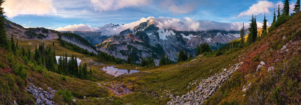
日出日落照片

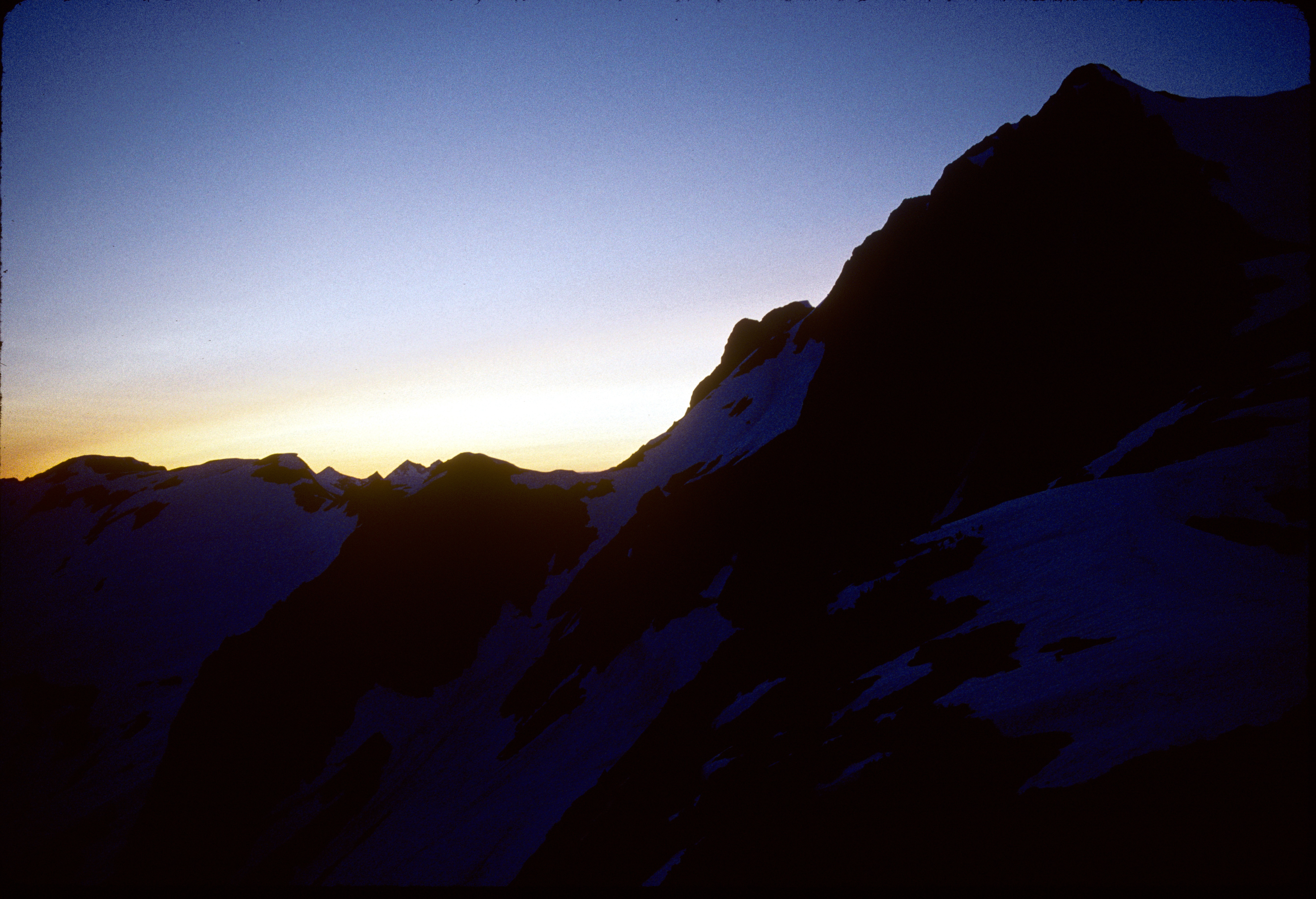
Sunset From Hannegan Peak
91-208_Mt_Whatcom_at_sunset_from_Perfect_Pass_Mt_Challenger_North_Cascades_National_Park_WA
91-272_Mt_Whatcom_at_sunset_from_Perfect_Pass_Mt_Challenger_North_Cascades_National_Park_WA
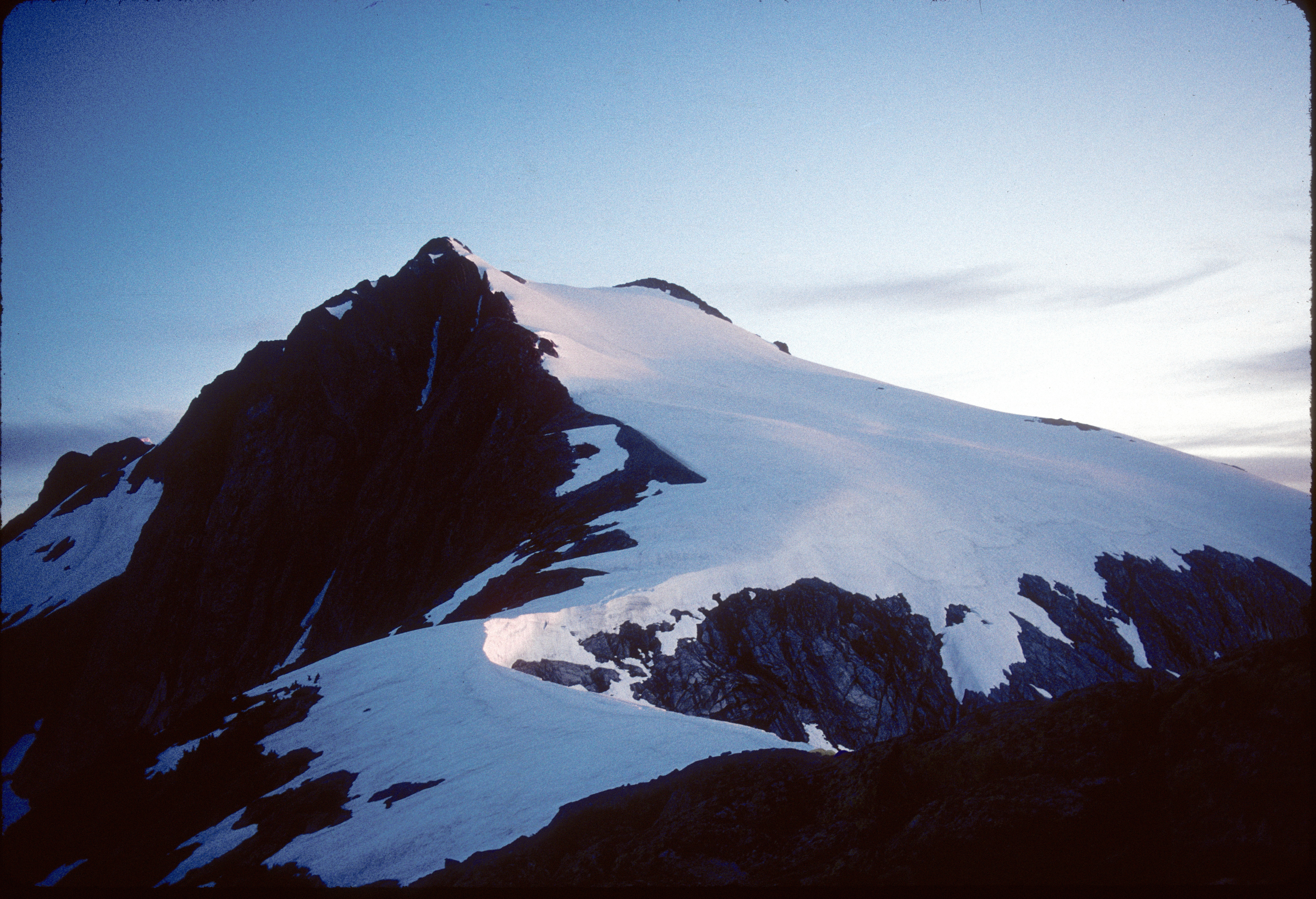
91-209_Mt_Baker_Mt_Shuksan_at_sunset_from_Perfect_Pass_Mt_Challenger_North_Cascades_National_Park_WA
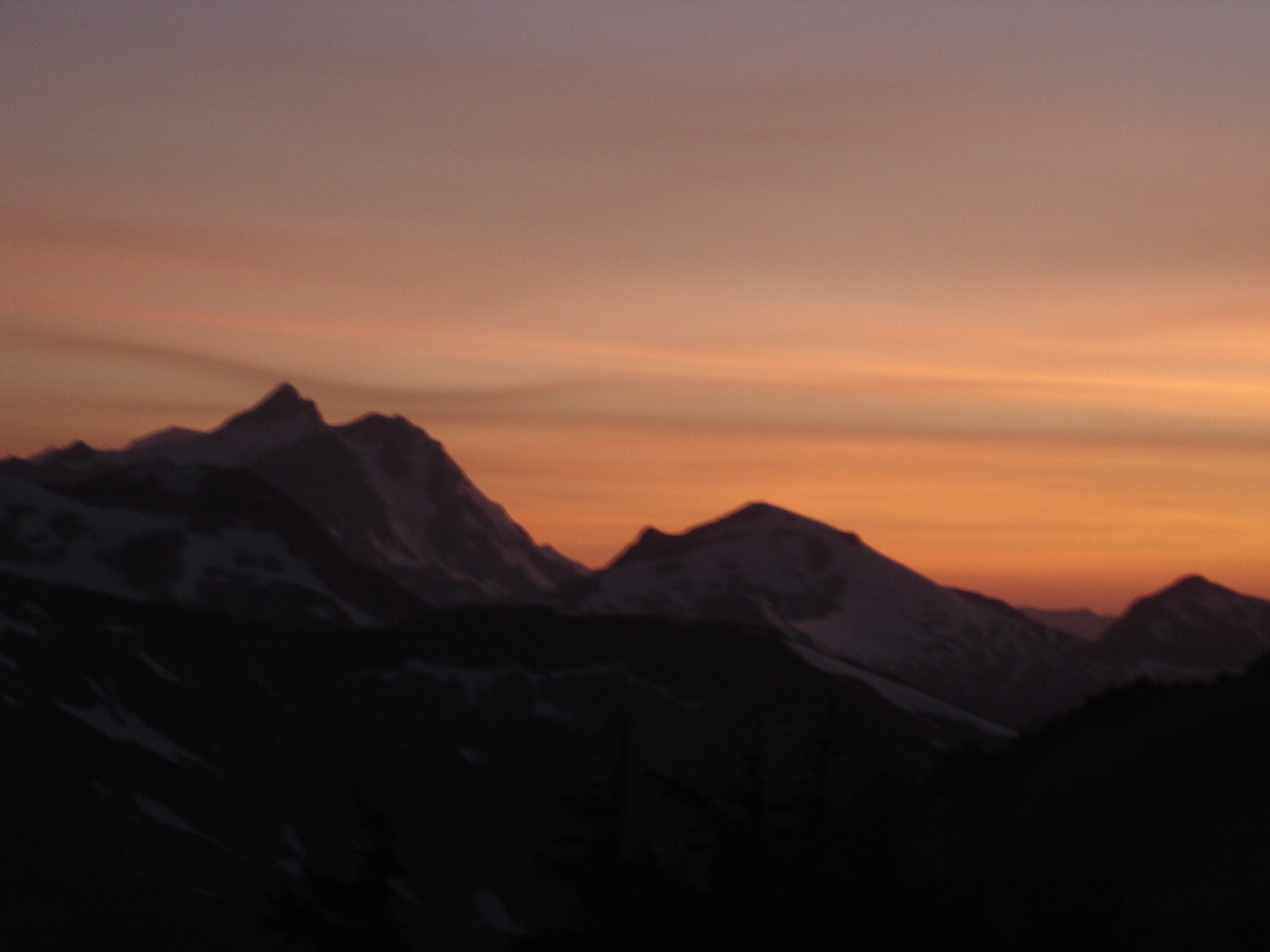
Sunset behind Shuksan
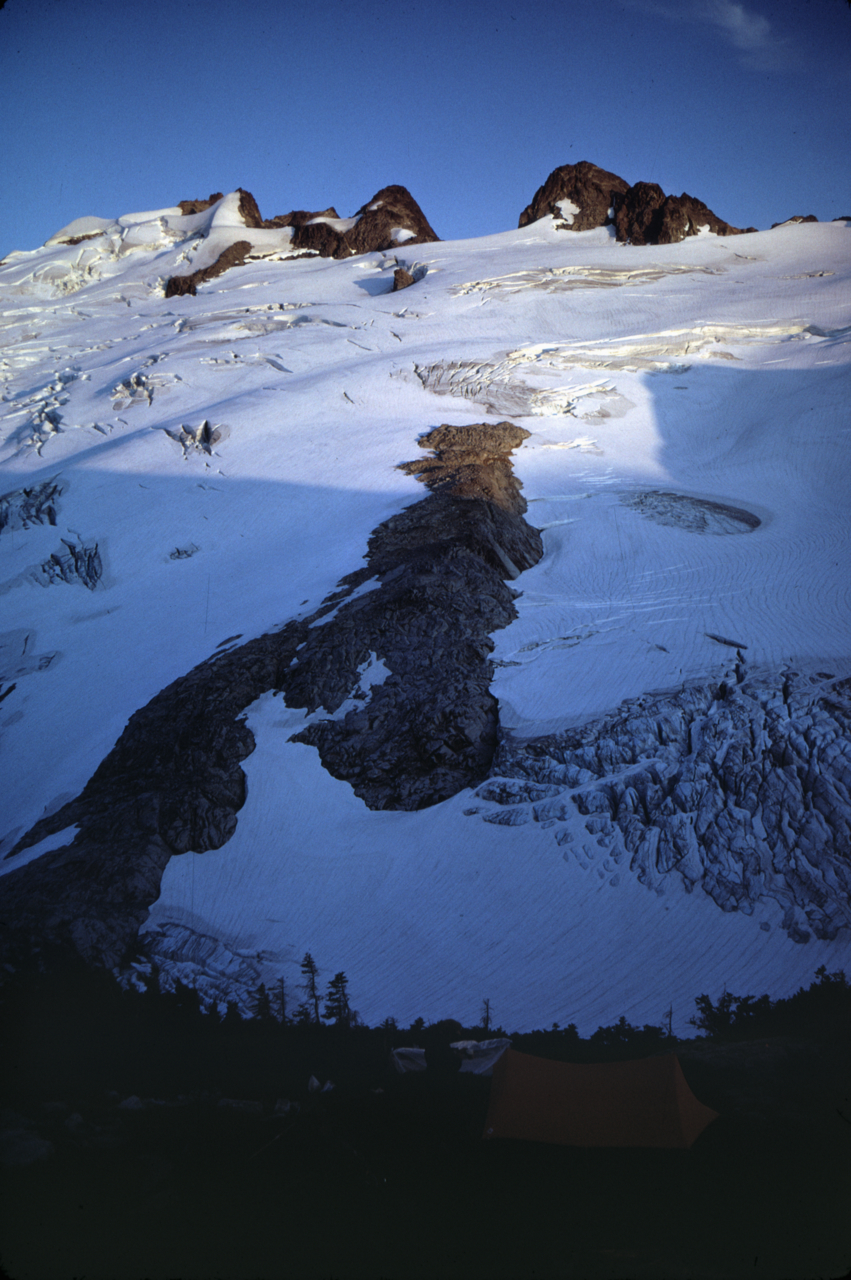
Image-65-714
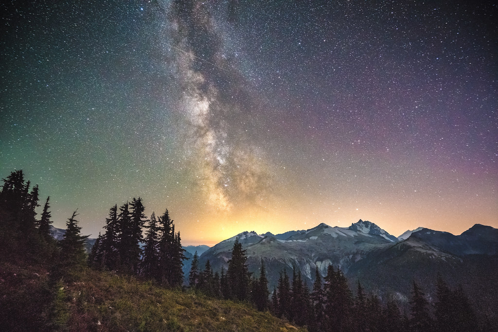
Milky Way over Easy Ridge
#svickinawesome
20060910-001
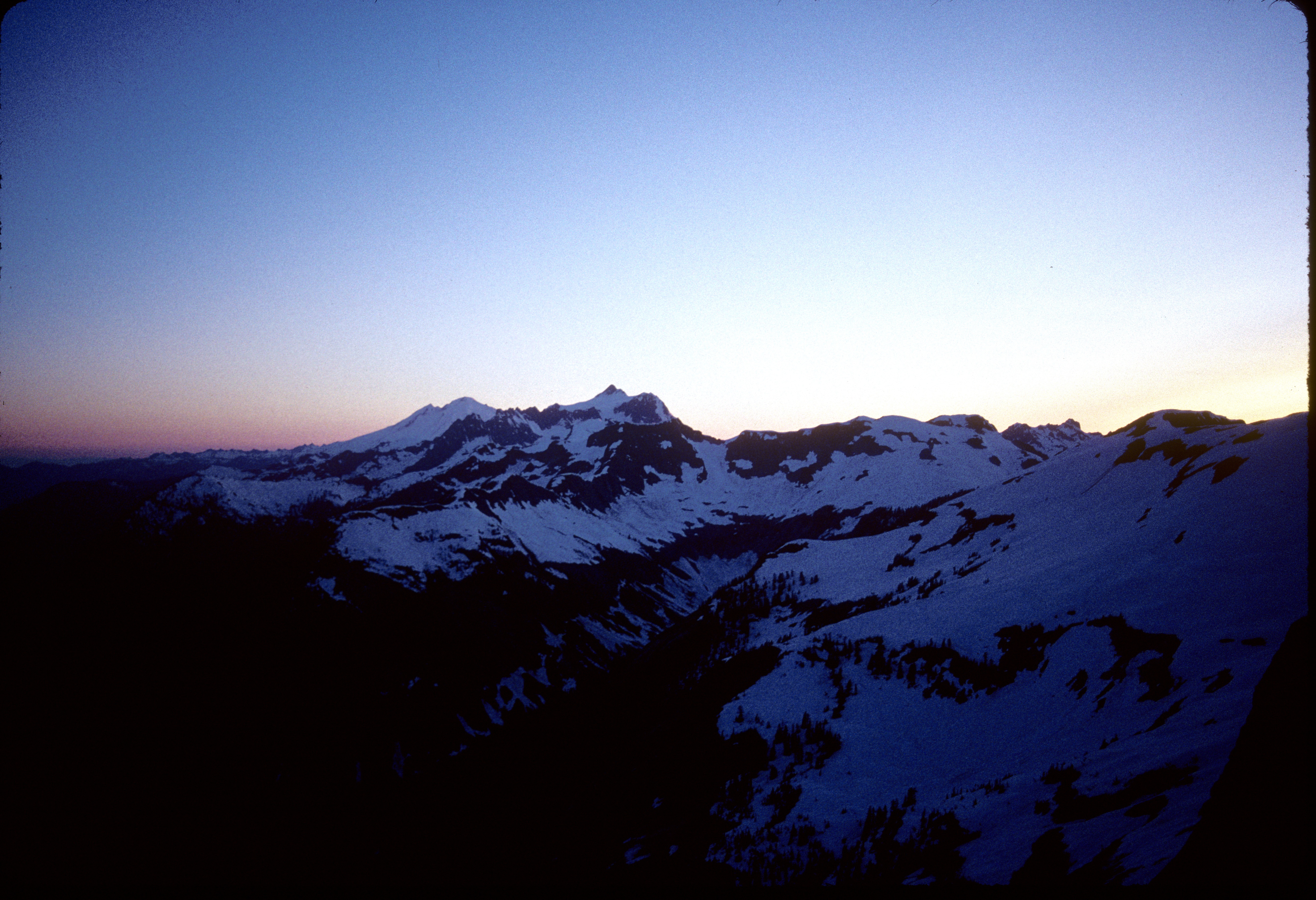
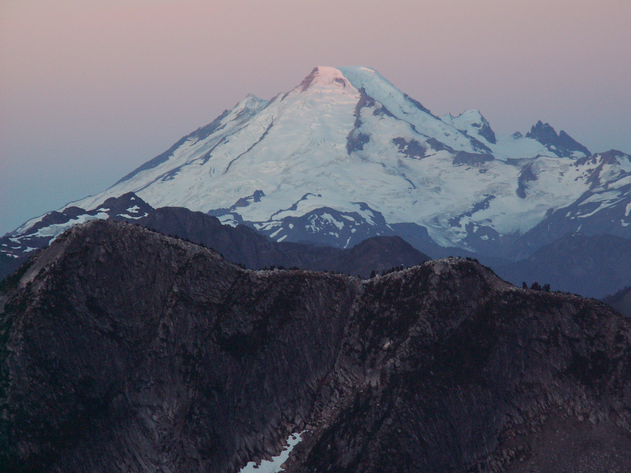
Sunrise over Tapto Lakes & Whatcom Peak
Rockport, WA 美國Bear Creek Campground的地圖
搜索其他地方的日出日落時間
附近地點
Rockport, WA 美國Little Chilliwack Campground
Rockport, WA 美國Indian Creek Campground
Nodoubt Peak, Washington 美國
Bear Mountain, Washington 美國
Indian Mountain, Washington 美國
Red Face Mountain, Washington 美國
Mount Edgar, Fraser Valley E, BC V0X加拿大
Mount Lindeman, Fraser Valley E, BC V0X加拿大
Copper Mountain, Washington, 美國
Mt Redoubt, Washington 美國Mount Redoubt
Rockport, WA 美國Graybeal Campground
Washington, 美國U.S. Cabin Campground
Rockport, WA 美國Whatcom Campground
Middle Peak, Washington, 美國
MacDonald Peak, Fraser Valley E, BC V0X加拿大
Silesia Ridge, Washington, 美國
Rexford South Peak, Fraser Valley E, BC V0X加拿大
Mount Rexford, Fraser Valley E, BC V0X加拿大
Station D Peak, Fraser Valley E, BC V0X加拿大
Slesse Mountain, Fraser Valley E, BC V0X加拿大
最近搜索
- Red Dog Mine, AK, USA的日出日落時間表
- Am bhf, Borken, 德國Am Bahnhof的日出日落時間表
- 4th St E, Sonoma, CA 美國的日出日落時間表
- Oakland Ave, Williamsport, PA 美國的日出日落時間表
- Via Roma, Pieranica CR, 義大利的日出日落時間表
- 克羅埃西亞杜布羅夫尼克 GradClock Tower of Dubrovnik的日出日落時間表
- 阿根廷丘布特省特雷利烏的日出日落時間表
- Hartfords Bluff Cir, Mt Pleasant, SC 美國的日出日落時間表
- 日本熊本縣熊本市北區的日出日落時間表
- 中國福州市平潭縣平潭島的日出日落時間表