W 7th Ave, Emporia, KS 美國7th Avenue Storage的日出日落時間表
Location: 美國 > 堪薩斯 > 萊昂郡 > KS 美國 >
時區:
America/Chicago
當地時間:
2025-05-22 01:38:55
經度:
-96.2099186
緯度:
38.4063738
今天日出時間:
06:07:28 AM
今天日落時間:
08:35:40 PM
今天日照時長:
14h 28m 12s
明天日出時間:
06:06:50 AM
明天日落時間:
08:36:29 PM
明天日照時長:
14h 29m 39s
顯示所有日期
| 日期 | 日出 | 日落 | 日照時長 |
|---|---|---|---|
| 2025年01月01日 | 07:42:06 AM | 05:15:53 PM | 9h 33m 47s |
| 2025年01月02日 | 07:42:10 AM | 05:16:44 PM | 9h 34m 34s |
| 2025年01月03日 | 07:42:13 AM | 05:17:36 PM | 9h 35m 23s |
| 2025年01月04日 | 07:42:13 AM | 05:18:29 PM | 9h 36m 16s |
| 2025年01月05日 | 07:42:12 AM | 05:19:23 PM | 9h 37m 11s |
| 2025年01月06日 | 07:42:08 AM | 05:20:18 PM | 9h 38m 10s |
| 2025年01月07日 | 07:42:02 AM | 05:21:15 PM | 9h 39m 13s |
| 2025年01月08日 | 07:41:54 AM | 05:22:13 PM | 9h 40m 19s |
| 2025年01月09日 | 07:41:44 AM | 05:23:11 PM | 9h 41m 27s |
| 2025年01月10日 | 07:41:32 AM | 05:24:11 PM | 9h 42m 39s |
| 2025年01月11日 | 07:41:18 AM | 05:25:11 PM | 9h 43m 53s |
| 2025年01月12日 | 07:41:01 AM | 05:26:12 PM | 9h 45m 11s |
| 2025年01月13日 | 07:40:43 AM | 05:27:14 PM | 9h 46m 31s |
| 2025年01月14日 | 07:40:22 AM | 05:28:17 PM | 9h 47m 55s |
| 2025年01月15日 | 07:40:00 AM | 05:29:21 PM | 9h 49m 21s |
| 2025年01月16日 | 07:39:35 AM | 05:30:25 PM | 9h 50m 50s |
| 2025年01月17日 | 07:39:09 AM | 05:31:30 PM | 9h 52m 21s |
| 2025年01月18日 | 07:38:40 AM | 05:32:35 PM | 9h 53m 55s |
| 2025年01月19日 | 07:38:10 AM | 05:33:41 PM | 9h 55m 31s |
| 2025年01月20日 | 07:37:37 AM | 05:34:47 PM | 9h 57m 10s |
| 2025年01月21日 | 07:37:03 AM | 05:35:54 PM | 9h 58m 51s |
| 2025年01月22日 | 07:36:26 AM | 05:37:01 PM | 10h 0m 35s |
| 2025年01月23日 | 07:35:48 AM | 05:38:08 PM | 10h 2m 20s |
| 2025年01月24日 | 07:35:08 AM | 05:39:16 PM | 10h 4m 8s |
| 2025年01月25日 | 07:34:26 AM | 05:40:23 PM | 10h 5m 57s |
| 2025年01月26日 | 07:33:42 AM | 05:41:31 PM | 10h 7m 49s |
| 2025年01月27日 | 07:32:57 AM | 05:42:40 PM | 10h 9m 43s |
| 2025年01月28日 | 07:32:09 AM | 05:43:48 PM | 10h 11m 39s |
| 2025年01月29日 | 07:31:20 AM | 05:44:56 PM | 10h 13m 36s |
| 2025年01月30日 | 07:30:30 AM | 05:46:05 PM | 10h 15m 35s |
| 2025年01月31日 | 07:29:37 AM | 05:47:13 PM | 10h 17m 36s |
| 2025年02月01日 | 07:28:43 AM | 05:48:22 PM | 10h 19m 39s |
| 2025年02月02日 | 07:27:48 AM | 05:49:30 PM | 10h 21m 42s |
| 2025年02月03日 | 07:26:51 AM | 05:50:38 PM | 10h 23m 47s |
| 2025年02月04日 | 07:25:52 AM | 05:51:47 PM | 10h 25m 55s |
| 2025年02月05日 | 07:24:52 AM | 05:52:55 PM | 10h 28m 3s |
| 2025年02月06日 | 07:23:50 AM | 05:54:03 PM | 10h 30m 13s |
| 2025年02月07日 | 07:22:47 AM | 05:55:11 PM | 10h 32m 24s |
| 2025年02月08日 | 07:21:43 AM | 05:56:18 PM | 10h 34m 35s |
| 2025年02月09日 | 07:20:37 AM | 05:57:26 PM | 10h 36m 49s |
| 2025年02月10日 | 07:19:30 AM | 05:58:33 PM | 10h 39m 3s |
| 2025年02月11日 | 07:18:22 AM | 05:59:40 PM | 10h 41m 18s |
| 2025年02月12日 | 07:17:12 AM | 06:00:47 PM | 10h 43m 35s |
| 2025年02月13日 | 07:16:01 AM | 06:01:54 PM | 10h 45m 53s |
| 2025年02月14日 | 07:14:49 AM | 06:03:00 PM | 10h 48m 11s |
| 2025年02月15日 | 07:13:36 AM | 06:04:06 PM | 10h 50m 30s |
| 2025年02月16日 | 07:12:22 AM | 06:05:12 PM | 10h 52m 50s |
| 2025年02月17日 | 07:11:06 AM | 06:06:17 PM | 10h 55m 11s |
| 2025年02月18日 | 07:09:50 AM | 06:07:22 PM | 10h 57m 32s |
| 2025年02月19日 | 07:08:32 AM | 06:08:27 PM | 10h 59m 55s |
| 2025年02月20日 | 07:07:14 AM | 06:09:32 PM | 11h 2m 18s |
| 2025年02月21日 | 07:05:54 AM | 06:10:36 PM | 11h 4m 42s |
| 2025年02月22日 | 07:04:34 AM | 06:11:40 PM | 11h 7m 6s |
| 2025年02月23日 | 07:03:13 AM | 06:12:43 PM | 11h 9m 30s |
| 2025年02月24日 | 07:01:50 AM | 06:13:47 PM | 11h 11m 57s |
| 2025年02月25日 | 07:00:27 AM | 06:14:50 PM | 11h 14m 23s |
| 2025年02月26日 | 06:59:04 AM | 06:15:52 PM | 11h 16m 48s |
| 2025年02月27日 | 06:57:39 AM | 06:16:55 PM | 11h 19m 16s |
| 2025年02月28日 | 06:56:14 AM | 06:17:57 PM | 11h 21m 43s |
| 2025年03月01日 | 06:54:48 AM | 06:18:58 PM | 11h 24m 10s |
| 2025年03月02日 | 06:53:22 AM | 06:20:00 PM | 11h 26m 38s |
| 2025年03月03日 | 06:51:54 AM | 06:21:01 PM | 11h 29m 7s |
| 2025年03月04日 | 06:50:27 AM | 06:22:02 PM | 11h 31m 35s |
| 2025年03月05日 | 06:48:58 AM | 06:23:02 PM | 11h 34m 4s |
| 2025年03月06日 | 06:47:29 AM | 06:24:02 PM | 11h 36m 33s |
| 2025年03月07日 | 06:46:00 AM | 06:25:02 PM | 11h 39m 2s |
| 2025年03月08日 | 06:44:30 AM | 06:26:02 PM | 11h 41m 32s |
| 2025年03月09日 | 07:43:04 AM | 07:26:59 PM | 11h 43m 55s |
| 2025年03月10日 | 07:41:33 AM | 07:27:59 PM | 11h 46m 26s |
| 2025年03月11日 | 07:40:02 AM | 07:28:58 PM | 11h 48m 56s |
| 2025年03月12日 | 07:38:31 AM | 07:29:56 PM | 11h 51m 25s |
| 2025年03月13日 | 07:36:59 AM | 07:30:55 PM | 11h 53m 56s |
| 2025年03月14日 | 07:35:27 AM | 07:31:53 PM | 11h 56m 26s |
| 2025年03月15日 | 07:33:55 AM | 07:32:51 PM | 11h 58m 56s |
| 2025年03月16日 | 07:32:23 AM | 07:33:49 PM | 12h 1m 26s |
| 2025年03月17日 | 07:30:50 AM | 07:34:47 PM | 12h 3m 57s |
| 2025年03月18日 | 07:29:17 AM | 07:35:45 PM | 12h 6m 28s |
| 2025年03月19日 | 07:27:44 AM | 07:36:42 PM | 12h 8m 58s |
| 2025年03月20日 | 07:26:11 AM | 07:37:40 PM | 12h 11m 29s |
| 2025年03月21日 | 07:24:38 AM | 07:38:37 PM | 12h 13m 59s |
| 2025年03月22日 | 07:23:05 AM | 07:39:34 PM | 12h 16m 29s |
| 2025年03月23日 | 07:21:32 AM | 07:40:31 PM | 12h 18m 59s |
| 2025年03月24日 | 07:19:59 AM | 07:41:28 PM | 12h 21m 29s |
| 2025年03月25日 | 07:18:26 AM | 07:42:25 PM | 12h 23m 59s |
| 2025年03月26日 | 07:16:53 AM | 07:43:22 PM | 12h 26m 29s |
| 2025年03月27日 | 07:15:20 AM | 07:44:18 PM | 12h 28m 58s |
| 2025年03月28日 | 07:13:48 AM | 07:45:15 PM | 12h 31m 27s |
| 2025年03月29日 | 07:12:15 AM | 07:46:11 PM | 12h 33m 56s |
| 2025年03月30日 | 07:10:43 AM | 07:47:08 PM | 12h 36m 25s |
| 2025年03月31日 | 07:09:11 AM | 07:48:04 PM | 12h 38m 53s |
| 2025年04月01日 | 07:07:39 AM | 07:49:01 PM | 12h 41m 22s |
| 2025年04月02日 | 07:06:07 AM | 07:49:57 PM | 12h 43m 50s |
| 2025年04月03日 | 07:04:36 AM | 07:50:53 PM | 12h 46m 17s |
| 2025年04月04日 | 07:03:05 AM | 07:51:50 PM | 12h 48m 45s |
| 2025年04月05日 | 07:01:35 AM | 07:52:46 PM | 12h 51m 11s |
| 2025年04月06日 | 07:00:05 AM | 07:53:43 PM | 12h 53m 38s |
| 2025年04月07日 | 06:58:35 AM | 07:54:39 PM | 12h 56m 4s |
| 2025年04月08日 | 06:57:06 AM | 07:55:36 PM | 12h 58m 30s |
| 2025年04月09日 | 06:55:37 AM | 07:56:32 PM | 13h 0m 55s |
| 2025年04月10日 | 06:54:09 AM | 07:57:28 PM | 13h 3m 19s |
| 2025年04月11日 | 06:52:42 AM | 07:58:25 PM | 13h 5m 43s |
| 2025年04月12日 | 06:51:15 AM | 07:59:22 PM | 13h 8m 7s |
| 2025年04月13日 | 06:49:49 AM | 08:00:18 PM | 13h 10m 29s |
| 2025年04月14日 | 06:48:23 AM | 08:01:15 PM | 13h 12m 52s |
| 2025年04月15日 | 06:46:58 AM | 08:02:11 PM | 13h 15m 13s |
| 2025年04月16日 | 06:45:34 AM | 08:03:08 PM | 13h 17m 34s |
| 2025年04月17日 | 06:44:10 AM | 08:04:05 PM | 13h 19m 55s |
| 2025年04月18日 | 06:42:47 AM | 08:05:02 PM | 13h 22m 15s |
| 2025年04月19日 | 06:41:25 AM | 08:05:58 PM | 13h 24m 33s |
| 2025年04月20日 | 06:40:04 AM | 08:06:55 PM | 13h 26m 51s |
| 2025年04月21日 | 06:38:44 AM | 08:07:52 PM | 13h 29m 8s |
| 2025年04月22日 | 06:37:25 AM | 08:08:49 PM | 13h 31m 24s |
| 2025年04月23日 | 06:36:06 AM | 08:09:46 PM | 13h 33m 40s |
| 2025年04月24日 | 06:34:49 AM | 08:10:43 PM | 13h 35m 54s |
| 2025年04月25日 | 06:33:32 AM | 08:11:40 PM | 13h 38m 8s |
| 2025年04月26日 | 06:32:17 AM | 08:12:36 PM | 13h 40m 19s |
| 2025年04月27日 | 06:31:03 AM | 08:13:33 PM | 13h 42m 30s |
| 2025年04月28日 | 06:29:49 AM | 08:14:30 PM | 13h 44m 41s |
| 2025年04月29日 | 06:28:37 AM | 08:15:27 PM | 13h 46m 50s |
| 2025年04月30日 | 06:27:26 AM | 08:16:23 PM | 13h 48m 57s |
| 2025年05月01日 | 06:26:16 AM | 08:17:20 PM | 13h 51m 4s |
| 2025年05月02日 | 06:25:07 AM | 08:18:16 PM | 13h 53m 9s |
| 2025年05月03日 | 06:24:00 AM | 08:19:12 PM | 13h 55m 12s |
| 2025年05月04日 | 06:22:54 AM | 08:20:09 PM | 13h 57m 15s |
| 2025年05月05日 | 06:21:49 AM | 08:21:05 PM | 13h 59m 16s |
| 2025年05月06日 | 06:20:45 AM | 08:22:00 PM | 14h 1m 15s |
| 2025年05月07日 | 06:19:43 AM | 08:22:56 PM | 14h 3m 13s |
| 2025年05月08日 | 06:18:42 AM | 08:23:51 PM | 14h 5m 9s |
| 2025年05月09日 | 06:17:42 AM | 08:24:47 PM | 14h 7m 5s |
| 2025年05月10日 | 06:16:44 AM | 08:25:41 PM | 14h 8m 57s |
| 2025年05月11日 | 06:15:48 AM | 08:26:36 PM | 14h 10m 48s |
| 2025年05月12日 | 06:14:52 AM | 08:27:30 PM | 14h 12m 38s |
| 2025年05月13日 | 06:13:59 AM | 08:28:24 PM | 14h 14m 25s |
| 2025年05月14日 | 06:13:07 AM | 08:29:17 PM | 14h 16m 10s |
| 2025年05月15日 | 06:12:16 AM | 08:30:10 PM | 14h 17m 54s |
| 2025年05月16日 | 06:11:27 AM | 08:31:03 PM | 14h 19m 36s |
| 2025年05月17日 | 06:10:40 AM | 08:31:55 PM | 14h 21m 15s |
| 2025年05月18日 | 06:09:54 AM | 08:32:47 PM | 14h 22m 53s |
| 2025年05月19日 | 06:09:10 AM | 08:33:38 PM | 14h 24m 28s |
| 2025年05月20日 | 06:08:27 AM | 08:34:28 PM | 14h 26m 1s |
| 2025年05月21日 | 06:07:47 AM | 08:35:18 PM | 14h 27m 31s |
| 2025年05月22日 | 06:07:07 AM | 08:36:07 PM | 14h 29m 0s |
| 2025年05月23日 | 06:06:30 AM | 08:36:55 PM | 14h 30m 25s |
| 2025年05月24日 | 06:05:55 AM | 08:37:43 PM | 14h 31m 48s |
| 2025年05月25日 | 06:05:21 AM | 08:38:30 PM | 14h 33m 9s |
| 2025年05月26日 | 06:04:49 AM | 08:39:16 PM | 14h 34m 27s |
| 2025年05月27日 | 06:04:18 AM | 08:40:01 PM | 14h 35m 43s |
| 2025年05月28日 | 06:03:50 AM | 08:40:45 PM | 14h 36m 55s |
| 2025年05月29日 | 06:03:23 AM | 08:41:29 PM | 14h 38m 6s |
| 2025年05月30日 | 06:02:58 AM | 08:42:11 PM | 14h 39m 13s |
| 2025年05月31日 | 06:02:35 AM | 08:42:52 PM | 14h 40m 17s |
| 2025年06月01日 | 06:02:14 AM | 08:43:33 PM | 14h 41m 19s |
| 2025年06月02日 | 06:01:54 AM | 08:44:12 PM | 14h 42m 18s |
| 2025年06月03日 | 06:01:37 AM | 08:44:50 PM | 14h 43m 13s |
| 2025年06月04日 | 06:01:21 AM | 08:45:27 PM | 14h 44m 6s |
| 2025年06月05日 | 06:01:07 AM | 08:46:03 PM | 14h 44m 56s |
| 2025年06月06日 | 06:00:55 AM | 08:46:37 PM | 14h 45m 42s |
| 2025年06月07日 | 06:00:45 AM | 08:47:10 PM | 14h 46m 25s |
| 2025年06月08日 | 06:00:37 AM | 08:47:42 PM | 14h 47m 5s |
| 2025年06月09日 | 06:00:30 AM | 08:48:13 PM | 14h 47m 43s |
| 2025年06月10日 | 06:00:26 AM | 08:48:42 PM | 14h 48m 16s |
| 2025年06月11日 | 06:00:23 AM | 08:49:09 PM | 14h 48m 46s |
| 2025年06月12日 | 06:00:22 AM | 08:49:35 PM | 14h 49m 13s |
| 2025年06月13日 | 06:00:22 AM | 08:50:00 PM | 14h 49m 38s |
| 2025年06月14日 | 06:00:25 AM | 08:50:23 PM | 14h 49m 58s |
| 2025年06月15日 | 06:00:29 AM | 08:50:45 PM | 14h 50m 16s |
| 2025年06月16日 | 06:00:35 AM | 08:51:05 PM | 14h 50m 30s |
| 2025年06月17日 | 06:00:43 AM | 08:51:23 PM | 14h 50m 40s |
| 2025年06月18日 | 06:00:53 AM | 08:51:40 PM | 14h 50m 47s |
| 2025年06月19日 | 06:01:04 AM | 08:51:55 PM | 14h 50m 51s |
| 2025年06月20日 | 06:01:17 AM | 08:52:08 PM | 14h 50m 51s |
| 2025年06月21日 | 06:01:31 AM | 08:52:19 PM | 14h 50m 48s |
| 2025年06月22日 | 06:01:47 AM | 08:52:29 PM | 14h 50m 42s |
| 2025年06月23日 | 06:02:05 AM | 08:52:37 PM | 14h 50m 32s |
| 2025年06月24日 | 06:02:24 AM | 08:52:44 PM | 14h 50m 20s |
| 2025年06月25日 | 06:02:45 AM | 08:52:48 PM | 14h 50m 3s |
| 2025年06月26日 | 06:03:07 AM | 08:52:51 PM | 14h 49m 44s |
| 2025年06月27日 | 06:03:31 AM | 08:52:51 PM | 14h 49m 20s |
| 2025年06月28日 | 06:03:56 AM | 08:52:50 PM | 14h 48m 54s |
| 2025年06月29日 | 06:04:23 AM | 08:52:47 PM | 14h 48m 24s |
| 2025年06月30日 | 06:04:51 AM | 08:52:43 PM | 14h 47m 52s |
| 2025年07月01日 | 06:05:20 AM | 08:52:36 PM | 14h 47m 16s |
| 2025年07月02日 | 06:05:51 AM | 08:52:27 PM | 14h 46m 36s |
| 2025年07月03日 | 06:06:23 AM | 08:52:17 PM | 14h 45m 54s |
| 2025年07月04日 | 06:06:56 AM | 08:52:05 PM | 14h 45m 9s |
| 2025年07月05日 | 06:07:30 AM | 08:51:50 PM | 14h 44m 20s |
| 2025年07月06日 | 06:08:06 AM | 08:51:34 PM | 14h 43m 28s |
| 2025年07月07日 | 06:08:43 AM | 08:51:16 PM | 14h 42m 33s |
| 2025年07月08日 | 06:09:20 AM | 08:50:56 PM | 14h 41m 36s |
| 2025年07月09日 | 06:09:59 AM | 08:50:35 PM | 14h 40m 36s |
| 2025年07月10日 | 06:10:38 AM | 08:50:11 PM | 14h 39m 33s |
| 2025年07月11日 | 06:11:19 AM | 08:49:46 PM | 14h 38m 27s |
| 2025年07月12日 | 06:12:01 AM | 08:49:18 PM | 14h 37m 17s |
| 2025年07月13日 | 06:12:43 AM | 08:48:49 PM | 14h 36m 6s |
| 2025年07月14日 | 06:13:26 AM | 08:48:18 PM | 14h 34m 52s |
| 2025年07月15日 | 06:14:10 AM | 08:47:45 PM | 14h 33m 35s |
| 2025年07月16日 | 06:14:55 AM | 08:47:11 PM | 14h 32m 16s |
| 2025年07月17日 | 06:15:40 AM | 08:46:34 PM | 14h 30m 54s |
| 2025年07月18日 | 06:16:27 AM | 08:45:56 PM | 14h 29m 29s |
| 2025年07月19日 | 06:17:13 AM | 08:45:16 PM | 14h 28m 3s |
| 2025年07月20日 | 06:18:01 AM | 08:44:35 PM | 14h 26m 34s |
| 2025年07月21日 | 06:18:49 AM | 08:43:51 PM | 14h 25m 2s |
| 2025年07月22日 | 06:19:37 AM | 08:43:06 PM | 14h 23m 29s |
| 2025年07月23日 | 06:20:26 AM | 08:42:20 PM | 14h 21m 54s |
| 2025年07月24日 | 06:21:16 AM | 08:41:31 PM | 14h 20m 15s |
| 2025年07月25日 | 06:22:06 AM | 08:40:41 PM | 14h 18m 35s |
| 2025年07月26日 | 06:22:56 AM | 08:39:50 PM | 14h 16m 54s |
| 2025年07月27日 | 06:23:47 AM | 08:38:57 PM | 14h 15m 10s |
| 2025年07月28日 | 06:24:38 AM | 08:38:02 PM | 14h 13m 24s |
| 2025年07月29日 | 06:25:29 AM | 08:37:06 PM | 14h 11m 37s |
| 2025年07月30日 | 06:26:21 AM | 08:36:08 PM | 14h 9m 47s |
| 2025年07月31日 | 06:27:12 AM | 08:35:09 PM | 14h 7m 57s |
| 2025年08月01日 | 06:28:05 AM | 08:34:08 PM | 14h 6m 3s |
| 2025年08月02日 | 06:28:57 AM | 08:33:06 PM | 14h 4m 9s |
| 2025年08月03日 | 06:29:49 AM | 08:32:03 PM | 14h 2m 14s |
| 2025年08月04日 | 06:30:42 AM | 08:30:58 PM | 14h 0m 16s |
| 2025年08月05日 | 06:31:35 AM | 08:29:52 PM | 13h 58m 17s |
| 2025年08月06日 | 06:32:28 AM | 08:28:44 PM | 13h 56m 16s |
| 2025年08月07日 | 06:33:21 AM | 08:27:36 PM | 13h 54m 15s |
| 2025年08月08日 | 06:34:14 AM | 08:26:26 PM | 13h 52m 12s |
| 2025年08月09日 | 06:35:07 AM | 08:25:15 PM | 13h 50m 8s |
| 2025年08月10日 | 06:36:00 AM | 08:24:02 PM | 13h 48m 2s |
| 2025年08月11日 | 06:36:53 AM | 08:22:49 PM | 13h 45m 56s |
| 2025年08月12日 | 06:37:46 AM | 08:21:34 PM | 13h 43m 48s |
| 2025年08月13日 | 06:38:39 AM | 08:20:18 PM | 13h 41m 39s |
| 2025年08月14日 | 06:39:33 AM | 08:19:02 PM | 13h 39m 29s |
| 2025年08月15日 | 06:40:26 AM | 08:17:44 PM | 13h 37m 18s |
| 2025年08月16日 | 06:41:19 AM | 08:16:25 PM | 13h 35m 6s |
| 2025年08月17日 | 06:42:12 AM | 08:15:05 PM | 13h 32m 53s |
| 2025年08月18日 | 06:43:05 AM | 08:13:44 PM | 13h 30m 39s |
| 2025年08月19日 | 06:43:58 AM | 08:12:23 PM | 13h 28m 25s |
| 2025年08月20日 | 06:44:51 AM | 08:11:00 PM | 13h 26m 9s |
| 2025年08月21日 | 06:45:44 AM | 08:09:37 PM | 13h 23m 53s |
| 2025年08月22日 | 06:46:37 AM | 08:08:12 PM | 13h 21m 35s |
| 2025年08月23日 | 06:47:30 AM | 08:06:47 PM | 13h 19m 17s |
| 2025年08月24日 | 06:48:23 AM | 08:05:22 PM | 13h 16m 59s |
| 2025年08月25日 | 06:49:15 AM | 08:03:55 PM | 13h 14m 40s |
| 2025年08月26日 | 06:50:08 AM | 08:02:28 PM | 13h 12m 20s |
| 2025年08月27日 | 06:51:00 AM | 08:01:00 PM | 13h 10m 0s |
| 2025年08月28日 | 06:51:53 AM | 07:59:31 PM | 13h 7m 38s |
| 2025年08月29日 | 06:52:45 AM | 07:58:02 PM | 13h 5m 17s |
| 2025年08月30日 | 06:53:38 AM | 07:56:32 PM | 13h 2m 54s |
| 2025年08月31日 | 06:54:30 AM | 07:55:02 PM | 13h 0m 32s |
| 2025年09月01日 | 06:55:22 AM | 07:53:31 PM | 12h 58m 9s |
| 2025年09月02日 | 06:56:14 AM | 07:52:00 PM | 12h 55m 46s |
| 2025年09月03日 | 06:57:06 AM | 07:50:28 PM | 12h 53m 22s |
| 2025年09月04日 | 06:57:58 AM | 07:48:56 PM | 12h 50m 58s |
| 2025年09月05日 | 06:58:51 AM | 07:47:23 PM | 12h 48m 32s |
| 2025年09月06日 | 06:59:43 AM | 07:45:50 PM | 12h 46m 7s |
| 2025年09月07日 | 07:00:35 AM | 07:44:17 PM | 12h 43m 42s |
| 2025年09月08日 | 07:01:27 AM | 07:42:43 PM | 12h 41m 16s |
| 2025年09月09日 | 07:02:19 AM | 07:41:09 PM | 12h 38m 50s |
| 2025年09月10日 | 07:03:11 AM | 07:39:35 PM | 12h 36m 24s |
| 2025年09月11日 | 07:04:03 AM | 07:38:00 PM | 12h 33m 57s |
| 2025年09月12日 | 07:04:55 AM | 07:36:26 PM | 12h 31m 31s |
| 2025年09月13日 | 07:05:47 AM | 07:34:51 PM | 12h 29m 4s |
| 2025年09月14日 | 07:06:39 AM | 07:33:16 PM | 12h 26m 37s |
| 2025年09月15日 | 07:07:31 AM | 07:31:41 PM | 12h 24m 10s |
| 2025年09月16日 | 07:08:24 AM | 07:30:05 PM | 12h 21m 41s |
| 2025年09月17日 | 07:09:16 AM | 07:28:30 PM | 12h 19m 14s |
| 2025年09月18日 | 07:10:09 AM | 07:26:55 PM | 12h 16m 46s |
| 2025年09月19日 | 07:11:01 AM | 07:25:20 PM | 12h 14m 19s |
| 2025年09月20日 | 07:11:54 AM | 07:23:44 PM | 12h 11m 50s |
| 2025年09月21日 | 07:12:47 AM | 07:22:09 PM | 12h 9m 22s |
| 2025年09月22日 | 07:13:40 AM | 07:20:34 PM | 12h 6m 54s |
| 2025年09月23日 | 07:14:33 AM | 07:18:59 PM | 12h 4m 26s |
| 2025年09月24日 | 07:15:26 AM | 07:17:24 PM | 12h 1m 58s |
| 2025年09月25日 | 07:16:19 AM | 07:15:50 PM | 11h 59m 31s |
| 2025年09月26日 | 07:17:13 AM | 07:14:15 PM | 11h 57m 2s |
| 2025年09月27日 | 07:18:07 AM | 07:12:41 PM | 11h 54m 34s |
| 2025年09月28日 | 07:19:01 AM | 07:11:07 PM | 11h 52m 6s |
| 2025年09月29日 | 07:19:55 AM | 07:09:33 PM | 11h 49m 38s |
| 2025年09月30日 | 07:20:50 AM | 07:08:00 PM | 11h 47m 10s |
| 2025年10月01日 | 07:21:44 AM | 07:06:27 PM | 11h 44m 43s |
| 2025年10月02日 | 07:22:39 AM | 07:04:54 PM | 11h 42m 15s |
| 2025年10月03日 | 07:23:35 AM | 07:03:22 PM | 11h 39m 47s |
| 2025年10月04日 | 07:24:30 AM | 07:01:51 PM | 11h 37m 21s |
| 2025年10月05日 | 07:25:26 AM | 07:00:19 PM | 11h 34m 53s |
| 2025年10月06日 | 07:26:22 AM | 06:58:49 PM | 11h 32m 27s |
| 2025年10月07日 | 07:27:18 AM | 06:57:18 PM | 11h 30m 0s |
| 2025年10月08日 | 07:28:15 AM | 06:55:49 PM | 11h 27m 34s |
| 2025年10月09日 | 07:29:12 AM | 06:54:20 PM | 11h 25m 8s |
| 2025年10月10日 | 07:30:09 AM | 06:52:52 PM | 11h 22m 43s |
| 2025年10月11日 | 07:31:07 AM | 06:51:24 PM | 11h 20m 17s |
| 2025年10月12日 | 07:32:05 AM | 06:49:57 PM | 11h 17m 52s |
| 2025年10月13日 | 07:33:03 AM | 06:48:31 PM | 11h 15m 28s |
| 2025年10月14日 | 07:34:01 AM | 06:47:05 PM | 11h 13m 4s |
| 2025年10月15日 | 07:35:00 AM | 06:45:40 PM | 11h 10m 40s |
| 2025年10月16日 | 07:35:59 AM | 06:44:17 PM | 11h 8m 18s |
| 2025年10月17日 | 07:36:59 AM | 06:42:54 PM | 11h 5m 55s |
| 2025年10月18日 | 07:37:59 AM | 06:41:32 PM | 11h 3m 33s |
| 2025年10月19日 | 07:38:59 AM | 06:40:10 PM | 11h 1m 11s |
| 2025年10月20日 | 07:40:00 AM | 06:38:50 PM | 10h 58m 50s |
| 2025年10月21日 | 07:41:01 AM | 06:37:31 PM | 10h 56m 30s |
| 2025年10月22日 | 07:42:02 AM | 06:36:13 PM | 10h 54m 11s |
| 2025年10月23日 | 07:43:04 AM | 06:34:56 PM | 10h 51m 52s |
| 2025年10月24日 | 07:44:06 AM | 06:33:40 PM | 10h 49m 34s |
| 2025年10月25日 | 07:45:08 AM | 06:32:25 PM | 10h 47m 17s |
| 2025年10月26日 | 07:46:10 AM | 06:31:11 PM | 10h 45m 1s |
| 2025年10月27日 | 07:47:13 AM | 06:29:59 PM | 10h 42m 46s |
| 2025年10月28日 | 07:48:16 AM | 06:28:47 PM | 10h 40m 31s |
| 2025年10月29日 | 07:49:20 AM | 06:27:37 PM | 10h 38m 17s |
| 2025年10月30日 | 07:50:24 AM | 06:26:29 PM | 10h 36m 5s |
| 2025年10月31日 | 07:51:28 AM | 06:25:21 PM | 10h 33m 53s |
| 2025年11月01日 | 07:52:32 AM | 06:24:15 PM | 10h 31m 43s |
| 2025年11月02日 | 06:53:39 AM | 05:23:08 PM | 10h 29m 29s |
| 2025年11月03日 | 06:54:43 AM | 05:22:05 PM | 10h 27m 22s |
| 2025年11月04日 | 06:55:48 AM | 05:21:03 PM | 10h 25m 15s |
| 2025年11月05日 | 06:56:53 AM | 05:20:03 PM | 10h 23m 10s |
| 2025年11月06日 | 06:57:58 AM | 05:19:05 PM | 10h 21m 7s |
| 2025年11月07日 | 06:59:03 AM | 05:18:07 PM | 10h 19m 4s |
| 2025年11月08日 | 07:00:09 AM | 05:17:12 PM | 10h 17m 3s |
| 2025年11月09日 | 07:01:14 AM | 05:16:18 PM | 10h 15m 4s |
| 2025年11月10日 | 07:02:19 AM | 05:15:26 PM | 10h 13m 7s |
| 2025年11月11日 | 07:03:25 AM | 05:14:36 PM | 10h 11m 11s |
| 2025年11月12日 | 07:04:30 AM | 05:13:47 PM | 10h 9m 17s |
| 2025年11月13日 | 07:05:35 AM | 05:13:00 PM | 10h 7m 25s |
| 2025年11月14日 | 07:06:41 AM | 05:12:15 PM | 10h 5m 34s |
| 2025年11月15日 | 07:07:46 AM | 05:11:32 PM | 10h 3m 46s |
| 2025年11月16日 | 07:08:51 AM | 05:10:50 PM | 10h 1m 59s |
| 2025年11月17日 | 07:09:55 AM | 05:10:11 PM | 10h 0m 16s |
| 2025年11月18日 | 07:11:00 AM | 05:09:33 PM | 9h 58m 33s |
| 2025年11月19日 | 07:12:04 AM | 05:08:57 PM | 9h 56m 53s |
| 2025年11月20日 | 07:13:08 AM | 05:08:23 PM | 9h 55m 15s |
| 2025年11月21日 | 07:14:11 AM | 05:07:52 PM | 9h 53m 41s |
| 2025年11月22日 | 07:15:14 AM | 05:07:22 PM | 9h 52m 8s |
| 2025年11月23日 | 07:16:16 AM | 05:06:54 PM | 9h 50m 38s |
| 2025年11月24日 | 07:17:18 AM | 05:06:28 PM | 9h 49m 10s |
| 2025年11月25日 | 07:18:20 AM | 05:06:04 PM | 9h 47m 44s |
| 2025年11月26日 | 07:19:21 AM | 05:05:43 PM | 9h 46m 22s |
| 2025年11月27日 | 07:20:21 AM | 05:05:23 PM | 9h 45m 2s |
| 2025年11月28日 | 07:21:20 AM | 05:05:06 PM | 9h 43m 46s |
| 2025年11月29日 | 07:22:19 AM | 05:04:50 PM | 9h 42m 31s |
| 2025年11月30日 | 07:23:17 AM | 05:04:37 PM | 9h 41m 20s |
| 2025年12月01日 | 07:24:14 AM | 05:04:26 PM | 9h 40m 12s |
| 2025年12月02日 | 07:25:10 AM | 05:04:17 PM | 9h 39m 7s |
| 2025年12月03日 | 07:26:05 AM | 05:04:10 PM | 9h 38m 5s |
| 2025年12月04日 | 07:26:59 AM | 05:04:06 PM | 9h 37m 7s |
| 2025年12月05日 | 07:27:52 AM | 05:04:03 PM | 9h 36m 11s |
| 2025年12月06日 | 07:28:44 AM | 05:04:03 PM | 9h 35m 19s |
| 2025年12月07日 | 07:29:34 AM | 05:04:05 PM | 9h 34m 31s |
| 2025年12月08日 | 07:30:24 AM | 05:04:09 PM | 9h 33m 45s |
| 2025年12月09日 | 07:31:12 AM | 05:04:15 PM | 9h 33m 3s |
| 2025年12月10日 | 07:31:59 AM | 05:04:23 PM | 9h 32m 24s |
| 2025年12月11日 | 07:32:44 AM | 05:04:34 PM | 9h 31m 50s |
| 2025年12月12日 | 07:33:28 AM | 05:04:46 PM | 9h 31m 18s |
| 2025年12月13日 | 07:34:11 AM | 05:05:01 PM | 9h 30m 50s |
| 2025年12月14日 | 07:34:52 AM | 05:05:18 PM | 9h 30m 26s |
| 2025年12月15日 | 07:35:31 AM | 05:05:36 PM | 9h 30m 5s |
| 2025年12月16日 | 07:36:09 AM | 05:05:57 PM | 9h 29m 48s |
| 2025年12月17日 | 07:36:45 AM | 05:06:20 PM | 9h 29m 35s |
| 2025年12月18日 | 07:37:20 AM | 05:06:45 PM | 9h 29m 25s |
| 2025年12月19日 | 07:37:52 AM | 05:07:12 PM | 9h 29m 20s |
| 2025年12月20日 | 07:38:23 AM | 05:07:40 PM | 9h 29m 17s |
| 2025年12月21日 | 07:38:52 AM | 05:08:11 PM | 9h 29m 19s |
| 2025年12月22日 | 07:39:19 AM | 05:08:43 PM | 9h 29m 24s |
| 2025年12月23日 | 07:39:45 AM | 05:09:18 PM | 9h 29m 33s |
| 2025年12月24日 | 07:40:08 AM | 05:09:54 PM | 9h 29m 46s |
| 2025年12月25日 | 07:40:30 AM | 05:10:31 PM | 9h 30m 1s |
| 2025年12月26日 | 07:40:49 AM | 05:11:11 PM | 9h 30m 22s |
| 2025年12月27日 | 07:41:07 AM | 05:11:52 PM | 9h 30m 45s |
| 2025年12月28日 | 07:41:22 AM | 05:12:35 PM | 9h 31m 13s |
| 2025年12月29日 | 07:41:36 AM | 05:13:19 PM | 9h 31m 43s |
| 2025年12月30日 | 07:41:47 AM | 05:14:05 PM | 9h 32m 18s |
| 2025年12月31日 | 07:41:57 AM | 05:14:52 PM | 9h 32m 55s |
日出日落照片
Days End by The Keeper of Lights
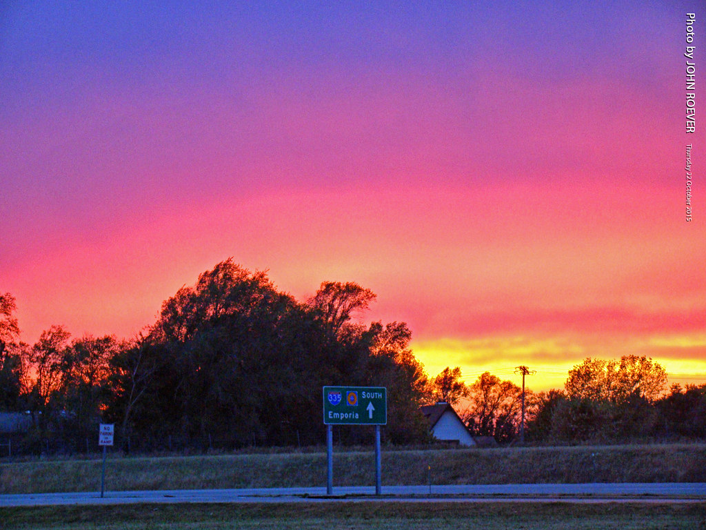
Color after sunset along I-335, 22 Oct 2015
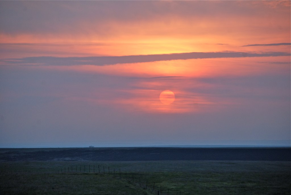
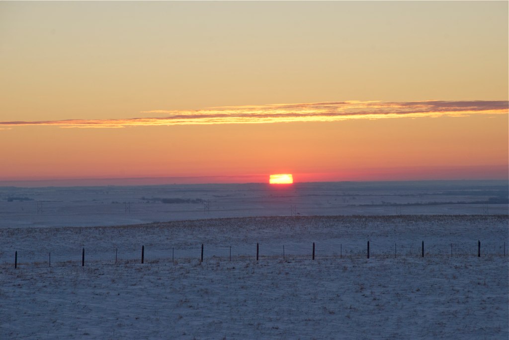
Sunrise in the Flint Hills
Sunrise at Zoom

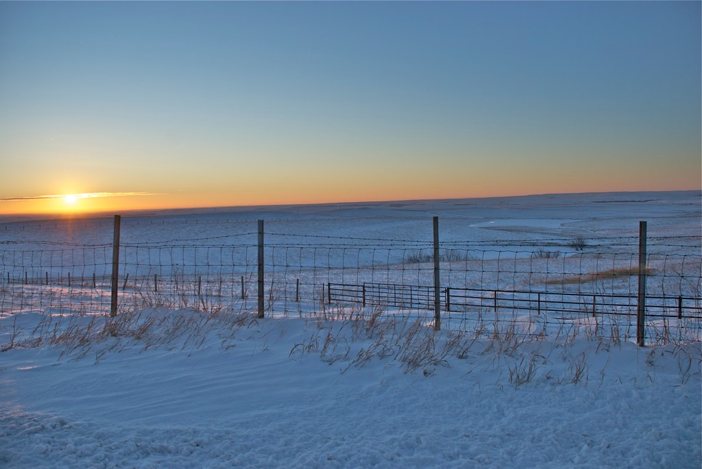
Cattle Pens cast their shadow

KTA Toll Plaza in Emporia, 22 April 2009

Approaching Emporia on Turnpike, 18 Sept 2016
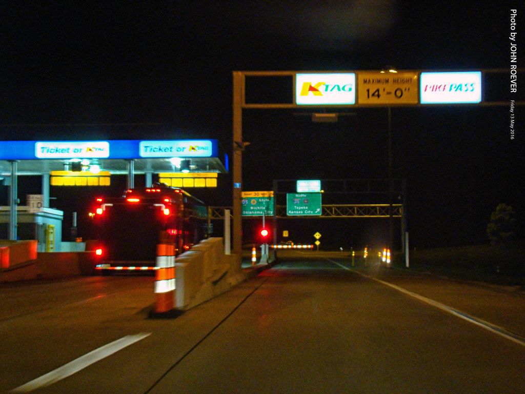
K-Tag Lane at Emporia Toll Plaza, 13 May 2016
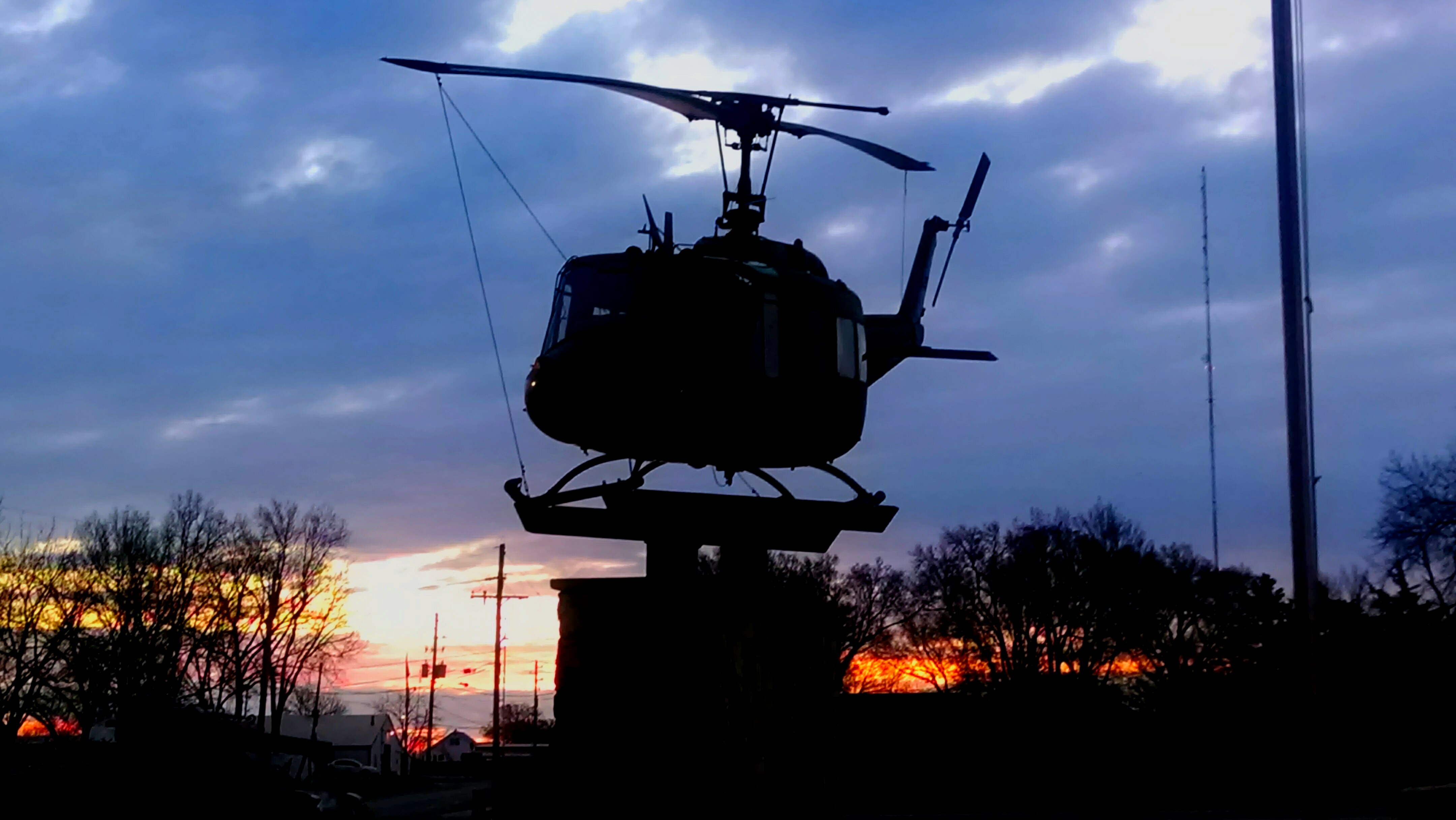
Emporia, Kansas Vetrens Park

Aerial view of NR Junction
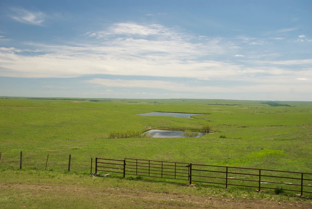
Flint Hills at Cattle Pen
W 7th Ave, Emporia, KS 美國7th Avenue Storage的地圖
搜索其他地方的日出日落時間
附近地點
Janice St, Emporia, KS 美國
W 6th Ave, Emporia, KS 美國Flint Hills Lanes
Graphic Arts Rd, Emporia, KS 美國VFW Post
Emporia, KS 美國
Commercial St, Emporia, KS 美國Jimmy John's
Commercial St, Emporia, KS 美國Red Rocks State Historic Site
Commercial St, Emporia, KS 美國
E 6th Ave, Emporia, KS 美國Tortas El Toro
Carter St, Emporia, KS 美國
美國堪薩斯萊昂郡
Rd M, Emporia, KS 美國
Rd L, Emporia, KS 美國
U Rd, Madison, KS 美國U Road
Allen, KS 美國
Admire, KS, 美國
Allen, KS 美國
th street, Madison, KS 美國Leiser Construction. LLC
Madison, KS 美國麥迪森
Madison, KS, 美國
Agnes City, KS, 美國
最近搜索
- Red Dog Mine, AK, USA的日出日落時間表
- Am bhf, Borken, 德國Am Bahnhof的日出日落時間表
- 4th St E, Sonoma, CA 美國的日出日落時間表
- Oakland Ave, Williamsport, PA 美國的日出日落時間表
- Via Roma, Pieranica CR, 義大利的日出日落時間表
- 克羅埃西亞杜布羅夫尼克 GradClock Tower of Dubrovnik的日出日落時間表
- 阿根廷丘布特省特雷利烏的日出日落時間表
- Hartfords Bluff Cir, Mt Pleasant, SC 美國的日出日落時間表
- 日本熊本縣熊本市北區的日出日落時間表
- 中國福州市平潭縣平潭島的日出日落時間表