时区:厄瓜多尔标准时间
当地时间:2026年11月20日星期五下午3点47分
经度:-78.4754667
纬度:-1.2765895
今天日出时间:05:55:37
今天日落时间:18:06:21
今天日照时长:12小时10分44秒
明天日出时间:05:55:50
明天日落时间:18:06:38
明天日照时长:12小时10分47秒

: 显示所有日期

日期 日出时间 日落时间 日照时长
2026年1月1日 06:12:20 18:23:56 12小时11分35秒
2026年2月1日 06:23:29 18:33:40 12小时10分10秒
2026年3月1日 06:23:51 18:32:00 12小时8分9秒
2026年4月1日 06:16:15 18:22:11 12小时5分56秒
2026年5月1日 06:10:13 18:14:24 12小时4分11秒
2026年6月1日 06:11:30 18:14:35 12小时3分4秒
2026年7月1日 06:17:16 18:20:09 12小时2分52秒
2026年8月1日 06:19:40 18:23:19 12小时3分39秒
2026年9月1日 06:13:10 18:18:21 12小时5分11秒
2026年10月1日 06:01:33 18:08:44 12小时7分10秒
2026年11月1日 05:54:01 18:03:28 12小时9分26秒
2026年11月21日 05:55:37 18:06:21 12小时10分44秒
2026年11月22日 05:55:50 18:06:38 12小时10分47秒
2026年12月1日 05:58:26 18:09:40 12小时11分13秒

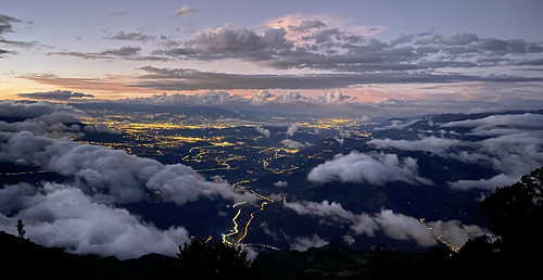
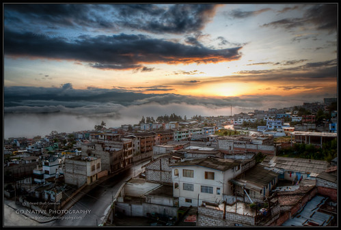
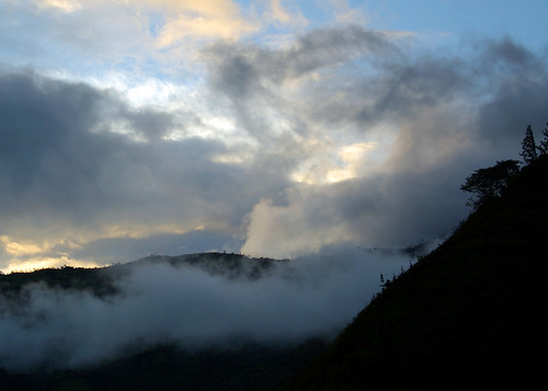
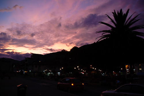
日出日落照片

El Refugio del Volcán at 3,830 meters (12,565 feet) above sea level, Climbing the Summit of the Active and Mighty Stratovolcano 'Tungurahua' ('Throat of Fire' volcano) at 5,023 meters (16,479 feet) ab by ER's Eyes - Our planet is so beautiful., Tungurahua 5,023 metres (16,480 ft) is located in the Cordillera Oriental of the Andes of central Ec
El Refugio del Volcán at 3,830 meters (12,565 feet) above sea level, Climbing the Summit of the Active and Mighty Stratovolcano 'Tungurahua' ('Throat of Fire' volcano) at 5,023 meters (16,479 feet) ab by ER's Eyes - Our planet is so beautiful.
El Refugio del Volcán at 3,830 meters (12,565 feet) above sea level, Climbing the Summit of the Active and Mighty Stratovolcano 'Tungurahua' ('Throat of Fire' volcano) at 5,023 meters (16,479 feet) ab by ER's Eyes - Our planet is so beautiful., Pachamama is usually translated as Mother Earth, but a more literal translation would be "World
El Refugio del Volcán at 3,830 meters (12,565 feet) above sea level, Climbing the Summit of the Active and Mighty Stratovolcano 'Tungurahua' ('Throat of Fire' volcano) at 5,023 meters (16,479 feet) ab by ER's Eyes - Our planet is so beautiful.
The Crater, Climbing the Summit of the Active and Mighty Stratovolcano 'Tungurahua' ('Throat of Fire' volcano) at 5,023 meters (16,479 feet) above sea level, Baños, the Central Highlands, Ecuador. by ER's Eyes - Our planet is so beautiful., It has a 600 ft. (183 m) wide crater. 
Most of the volcano is covered by snow.
After the Arenal, cli
The Crater, Climbing the Summit of the Active and Mighty Stratovolcano 'Tungurahua' ('Throat of Fire' volcano) at 5,023 meters (16,479 feet) above sea level, Baños, the Central Highlands, Ecuador. by ER's Eyes - Our planet is so beautiful.
Sunrise, Climbing the Summit of the Active and Mighty Stratovolcano 'Tungurahua' ('Throat of Fire' volcano) at 5,023 meters (16,479 feet) above sea level, Baños, the Central Highlands, Ecuador. by ER's Eyes - Our planet is so beautiful., The sun rises with its strength and light ...

Passing the rim of the crater in smoke.
The force of
Sunrise, Climbing the Summit of the Active and Mighty Stratovolcano 'Tungurahua' ('Throat of Fire' volcano) at 5,023 meters (16,479 feet) above sea level, Baños, the Central Highlands, Ecuador. by ER's Eyes - Our planet is so beautiful.
Climbing the Summit of the Active and Mighty Stratovolcano 'Tungurahua' ('Throat of Fire' volcano) at 5,023 meters (16,479 feet) above sea level, Baños, the Central Highlands, Ecuador. by ER's Eyes - Our planet is so beautiful., At 4,600 meters (15,091 feet) above sea level at 4:43 am at this moment. We left the Refugio (hut) a
Climbing the Summit of the Active and Mighty Stratovolcano 'Tungurahua' ('Throat of Fire' volcano) at 5,023 meters (16,479 feet) above sea level, Baños, the Central Highlands, Ecuador. by ER's Eyes - Our planet is so beautiful.
Parque Aventura San Martin at 1,800 meters (5,905 ft) above sea level, Baños, Ecuador. by ER's Eyes - Our planet is so beautiful., A two day hiking and climbing.
It is no longer acclimatization to high altitudes. It's a serious cli
Parque Aventura San Martin at 1,800 meters (5,905 ft) above sea level, Baños, Ecuador. by ER's Eyes - Our planet is so beautiful.
Banos - Ecuador by Ferdi's - World, vacation mountain southamerica clouds sunrise landscape effects ecuador plugins conditions dfine col
Banos - Ecuador by Ferdi's - World
GoNativePhoto_081223_IMG_3427_5_6 by Native Photo, <b>Sunrise in the Neighborhood

L then F11 keys to view large</b>

At 6:15 am I woke from the dogs b
GoNativePhoto_081223_IMG_3427_5_6 by Native Photo
Texturas de una hueca ! #latín #food #restaurant #street #texture by Gabo Díaz, square squareformat iphoneography instagramapp xproii uploaded:by=instagram
Texturas de una hueca ! #latín #food #restaurant #street #texture by Gabo Díaz
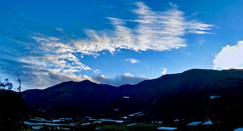
Sunrise at Hacienda Leito by krossbow, gate1travel travel gate1 trip vacation adventure ecuador south america southamerica baños de agua sa
Sunrise at Hacienda Leito by krossbow
Valley Sunrise by krossbow, gate1travel travel gate1 trip vacation adventure ecuador south america southamerica baños de agua sa
Valley Sunrise by krossbow
Baños sunset by Jessie Reeder,
Baños sunset by Jessie Reeder
White haze! by Ortzak, bañosdeaguasanta uploaded:by=flickrmobile flickriosapp:filter=nofilter
White haze! by Ortzak
Sunset over Baños by Antoine R., geotagged ecu baños tungurahua équateur tourdumonde geo:lat=139806009 geo:lon=7842073918 yweatherpro
Sunset over Baños by Antoine R.
Ocultandose by kimcalvas_1, Quería tomar una foto al Chimborazo- Ecuador mientras manejaba, este fue el resultado.chimborazo ecu
Ocultandose by kimcalvas_1
DSCN5546 by patoecu,
DSCN5546 by patoecu
The sunset, looking almost straight up at the huge mountain next door by kobenhavn,
The sunset, looking almost straight up at the huge mountain next door by kobenhavn
️🌄 by secomigre, hdr
️🌄 by secomigre
IMG_20180413_184646 by secomigre, cof
IMG_20180413_184646 by secomigre