美国加利福尼亚州萨默塞特的日出日落时间表
Location: 美国 > 加利福尼亚州 > 埃尔多拉多 >
时区:
America/Los_Angeles
当地时间:
2025-06-26 03:03:46
经度:
-120.685388
纬度:
38.64762
今天日出时间:
05:40:06 AM
今天日落时间:
08:31:28 PM
今天日照时常:
14h 51m 22s
明天日出时间:
05:40:29 AM
明天日落时间:
08:31:30 PM
明天日照时常:
14h 51m 1s
显示所有日期
| 日期 | 日出 | 日落 | 日照时常 |
|---|---|---|---|
| 2025年01月01日 | 07:20:42 AM | 04:53:14 PM | 9h 32m 32s |
| 2025年01月02日 | 07:20:46 AM | 04:54:05 PM | 9h 33m 19s |
| 2025年01月03日 | 07:20:48 AM | 04:54:57 PM | 9h 34m 9s |
| 2025年01月04日 | 07:20:48 AM | 04:55:51 PM | 9h 35m 3s |
| 2025年01月05日 | 07:20:46 AM | 04:56:45 PM | 9h 35m 59s |
| 2025年01月06日 | 07:20:41 AM | 04:57:41 PM | 9h 37m 0s |
| 2025年01月07日 | 07:20:35 AM | 04:58:38 PM | 9h 38m 3s |
| 2025年01月08日 | 07:20:26 AM | 04:59:36 PM | 9h 39m 10s |
| 2025年01月09日 | 07:20:15 AM | 05:00:35 PM | 9h 40m 20s |
| 2025年01月10日 | 07:20:03 AM | 05:01:35 PM | 9h 41m 32s |
| 2025年01月11日 | 07:19:48 AM | 05:02:36 PM | 9h 42m 48s |
| 2025年01月12日 | 07:19:31 AM | 05:03:38 PM | 9h 44m 7s |
| 2025年01月13日 | 07:19:11 AM | 05:04:41 PM | 9h 45m 30s |
| 2025年01月14日 | 07:18:50 AM | 05:05:44 PM | 9h 46m 54s |
| 2025年01月15日 | 07:18:27 AM | 05:06:48 PM | 9h 48m 21s |
| 2025年01月16日 | 07:18:02 AM | 05:07:53 PM | 9h 49m 51s |
| 2025年01月17日 | 07:17:34 AM | 05:08:58 PM | 9h 51m 24s |
| 2025年01月18日 | 07:17:05 AM | 05:10:04 PM | 9h 52m 59s |
| 2025年01月19日 | 07:16:34 AM | 05:11:10 PM | 9h 54m 36s |
| 2025年01月20日 | 07:16:00 AM | 05:12:17 PM | 9h 56m 17s |
| 2025年01月21日 | 07:15:25 AM | 05:13:24 PM | 9h 57m 59s |
| 2025年01月22日 | 07:14:48 AM | 05:14:32 PM | 9h 59m 44s |
| 2025年01月23日 | 07:14:09 AM | 05:15:39 PM | 10h 1m 30s |
| 2025年01月24日 | 07:13:28 AM | 05:16:48 PM | 10h 3m 20s |
| 2025年01月25日 | 07:12:45 AM | 05:17:56 PM | 10h 5m 11s |
| 2025年01月26日 | 07:12:01 AM | 05:19:05 PM | 10h 7m 4s |
| 2025年01月27日 | 07:11:14 AM | 05:20:13 PM | 10h 8m 59s |
| 2025年01月28日 | 07:10:26 AM | 05:21:22 PM | 10h 10m 56s |
| 2025年01月29日 | 07:09:37 AM | 05:22:31 PM | 10h 12m 54s |
| 2025年01月30日 | 07:08:45 AM | 05:23:40 PM | 10h 14m 55s |
| 2025年01月31日 | 07:07:52 AM | 05:24:49 PM | 10h 16m 57s |
| 2025年02月01日 | 07:06:57 AM | 05:25:58 PM | 10h 19m 1s |
| 2025年02月02日 | 07:06:01 AM | 05:27:07 PM | 10h 21m 6s |
| 2025年02月03日 | 07:05:03 AM | 05:28:16 PM | 10h 23m 13s |
| 2025年02月04日 | 07:04:04 AM | 05:29:25 PM | 10h 25m 21s |
| 2025年02月05日 | 07:03:03 AM | 05:30:34 PM | 10h 27m 31s |
| 2025年02月06日 | 07:02:00 AM | 05:31:42 PM | 10h 29m 42s |
| 2025年02月07日 | 07:00:56 AM | 05:32:51 PM | 10h 31m 55s |
| 2025年02月08日 | 06:59:51 AM | 05:33:59 PM | 10h 34m 8s |
| 2025年02月09日 | 06:58:45 AM | 05:35:07 PM | 10h 36m 22s |
| 2025年02月10日 | 06:57:37 AM | 05:36:15 PM | 10h 38m 38s |
| 2025年02月11日 | 06:56:27 AM | 05:37:22 PM | 10h 40m 55s |
| 2025年02月12日 | 06:55:17 AM | 05:38:30 PM | 10h 43m 13s |
| 2025年02月13日 | 06:54:05 AM | 05:39:37 PM | 10h 45m 32s |
| 2025年02月14日 | 06:52:52 AM | 05:40:44 PM | 10h 47m 52s |
| 2025年02月15日 | 06:51:38 AM | 05:41:50 PM | 10h 50m 12s |
| 2025年02月16日 | 06:50:23 AM | 05:42:57 PM | 10h 52m 34s |
| 2025年02月17日 | 06:49:07 AM | 05:44:03 PM | 10h 54m 56s |
| 2025年02月18日 | 06:47:50 AM | 05:45:08 PM | 10h 57m 18s |
| 2025年02月19日 | 06:46:31 AM | 05:46:14 PM | 10h 59m 43s |
| 2025年02月20日 | 06:45:12 AM | 05:47:19 PM | 11h 2m 7s |
| 2025年02月21日 | 06:43:52 AM | 05:48:24 PM | 11h 4m 32s |
| 2025年02月22日 | 06:42:31 AM | 05:49:28 PM | 11h 6m 57s |
| 2025年02月23日 | 06:41:09 AM | 05:50:32 PM | 11h 9m 23s |
| 2025年02月24日 | 06:39:46 AM | 05:51:36 PM | 11h 11m 50s |
| 2025年02月25日 | 06:38:22 AM | 05:52:40 PM | 11h 14m 18s |
| 2025年02月26日 | 06:36:58 AM | 05:53:43 PM | 11h 16m 45s |
| 2025年02月27日 | 06:35:32 AM | 05:54:46 PM | 11h 19m 14s |
| 2025年02月28日 | 06:34:06 AM | 05:55:49 PM | 11h 21m 43s |
| 2025年03月01日 | 06:32:40 AM | 05:56:51 PM | 11h 24m 11s |
| 2025年03月02日 | 06:31:13 AM | 05:57:53 PM | 11h 26m 40s |
| 2025年03月03日 | 06:29:45 AM | 05:58:55 PM | 11h 29m 10s |
| 2025年03月04日 | 06:28:16 AM | 05:59:56 PM | 11h 31m 40s |
| 2025年03月05日 | 06:26:47 AM | 06:00:57 PM | 11h 34m 10s |
| 2025年03月06日 | 06:25:17 AM | 06:01:58 PM | 11h 36m 41s |
| 2025年03月07日 | 06:23:47 AM | 06:02:59 PM | 11h 39m 12s |
| 2025年03月08日 | 06:22:17 AM | 06:03:59 PM | 11h 41m 42s |
| 2025年03月09日 | 07:20:50 AM | 07:04:57 PM | 11h 44m 7s |
| 2025年03月10日 | 07:19:18 AM | 07:05:57 PM | 11h 46m 39s |
| 2025年03月11日 | 07:17:47 AM | 07:06:56 PM | 11h 49m 9s |
| 2025年03月12日 | 07:16:15 AM | 07:07:56 PM | 11h 51m 41s |
| 2025年03月13日 | 07:14:42 AM | 07:08:55 PM | 11h 54m 13s |
| 2025年03月14日 | 07:13:10 AM | 07:09:54 PM | 11h 56m 44s |
| 2025年03月15日 | 07:11:37 AM | 07:10:53 PM | 11h 59m 16s |
| 2025年03月16日 | 07:10:04 AM | 07:11:51 PM | 12h 1m 47s |
| 2025年03月17日 | 07:08:30 AM | 07:12:50 PM | 12h 4m 20s |
| 2025年03月18日 | 07:06:57 AM | 07:13:48 PM | 12h 6m 51s |
| 2025年03月19日 | 07:05:23 AM | 07:14:46 PM | 12h 9m 23s |
| 2025年03月20日 | 07:03:50 AM | 07:15:44 PM | 12h 11m 54s |
| 2025年03月21日 | 07:02:16 AM | 07:16:42 PM | 12h 14m 26s |
| 2025年03月22日 | 07:00:42 AM | 07:17:40 PM | 12h 16m 58s |
| 2025年03月23日 | 06:59:08 AM | 07:18:38 PM | 12h 19m 30s |
| 2025年03月24日 | 06:57:35 AM | 07:19:35 PM | 12h 22m 0s |
| 2025年03月25日 | 06:56:01 AM | 07:20:32 PM | 12h 24m 31s |
| 2025年03月26日 | 06:54:28 AM | 07:21:30 PM | 12h 27m 2s |
| 2025年03月27日 | 06:52:54 AM | 07:22:27 PM | 12h 29m 33s |
| 2025年03月28日 | 06:51:21 AM | 07:23:24 PM | 12h 32m 3s |
| 2025年03月29日 | 06:49:48 AM | 07:24:22 PM | 12h 34m 34s |
| 2025年03月30日 | 06:48:15 AM | 07:25:19 PM | 12h 37m 4s |
| 2025年03月31日 | 06:46:42 AM | 07:26:16 PM | 12h 39m 34s |
| 2025年04月01日 | 06:45:10 AM | 07:27:13 PM | 12h 42m 3s |
| 2025年04月02日 | 06:43:38 AM | 07:28:10 PM | 12h 44m 32s |
| 2025年04月03日 | 06:42:06 AM | 07:29:07 PM | 12h 47m 1s |
| 2025年04月04日 | 06:40:34 AM | 07:30:04 PM | 12h 49m 30s |
| 2025年04月05日 | 06:39:03 AM | 07:31:01 PM | 12h 51m 58s |
| 2025年04月06日 | 06:37:33 AM | 07:31:58 PM | 12h 54m 25s |
| 2025年04月07日 | 06:36:02 AM | 07:32:55 PM | 12h 56m 53s |
| 2025年04月08日 | 06:34:33 AM | 07:33:52 PM | 12h 59m 19s |
| 2025年04月09日 | 06:33:04 AM | 07:34:49 PM | 13h 1m 45s |
| 2025年04月10日 | 06:31:35 AM | 07:35:46 PM | 13h 4m 11s |
| 2025年04月11日 | 06:30:07 AM | 07:36:44 PM | 13h 6m 37s |
| 2025年04月12日 | 06:28:39 AM | 07:37:41 PM | 13h 9m 2s |
| 2025年04月13日 | 06:27:12 AM | 07:38:38 PM | 13h 11m 26s |
| 2025年04月14日 | 06:25:46 AM | 07:39:35 PM | 13h 13m 49s |
| 2025年04月15日 | 06:24:21 AM | 07:40:33 PM | 13h 16m 12s |
| 2025年04月16日 | 06:22:56 AM | 07:41:30 PM | 13h 18m 34s |
| 2025年04月17日 | 06:21:32 AM | 07:42:27 PM | 13h 20m 55s |
| 2025年04月18日 | 06:20:09 AM | 07:43:25 PM | 13h 23m 16s |
| 2025年04月19日 | 06:18:46 AM | 07:44:22 PM | 13h 25m 36s |
| 2025年04月20日 | 06:17:25 AM | 07:45:20 PM | 13h 27m 55s |
| 2025年04月21日 | 06:16:04 AM | 07:46:17 PM | 13h 30m 13s |
| 2025年04月22日 | 06:14:44 AM | 07:47:14 PM | 13h 32m 30s |
| 2025年04月23日 | 06:13:25 AM | 07:48:12 PM | 13h 34m 47s |
| 2025年04月24日 | 06:12:07 AM | 07:49:09 PM | 13h 37m 2s |
| 2025年04月25日 | 06:10:50 AM | 07:50:07 PM | 13h 39m 17s |
| 2025年04月26日 | 06:09:35 AM | 07:51:04 PM | 13h 41m 29s |
| 2025年04月27日 | 06:08:20 AM | 07:52:02 PM | 13h 43m 42s |
| 2025年04月28日 | 06:07:06 AM | 07:52:59 PM | 13h 45m 53s |
| 2025年04月29日 | 06:05:53 AM | 07:53:56 PM | 13h 48m 3s |
| 2025年04月30日 | 06:04:42 AM | 07:54:53 PM | 13h 50m 11s |
| 2025年05月01日 | 06:03:32 AM | 07:55:51 PM | 13h 52m 19s |
| 2025年05月02日 | 06:02:22 AM | 07:56:48 PM | 13h 54m 26s |
| 2025年05月03日 | 06:01:15 AM | 07:57:44 PM | 13h 56m 29s |
| 2025年05月04日 | 06:00:08 AM | 07:58:41 PM | 13h 58m 33s |
| 2025年05月05日 | 05:59:03 AM | 07:59:38 PM | 14h 0m 35s |
| 2025年05月06日 | 05:57:59 AM | 08:00:34 PM | 14h 2m 35s |
| 2025年05月07日 | 05:56:56 AM | 08:01:30 PM | 14h 4m 34s |
| 2025年05月08日 | 05:55:55 AM | 08:02:26 PM | 14h 6m 31s |
| 2025年05月09日 | 05:54:55 AM | 08:03:22 PM | 14h 8m 27s |
| 2025年05月10日 | 05:53:57 AM | 08:04:17 PM | 14h 10m 20s |
| 2025年05月11日 | 05:53:00 AM | 08:05:12 PM | 14h 12m 12s |
| 2025年05月12日 | 05:52:04 AM | 08:06:07 PM | 14h 14m 3s |
| 2025年05月13日 | 05:51:10 AM | 08:07:01 PM | 14h 15m 51s |
| 2025年05月14日 | 05:50:18 AM | 08:07:55 PM | 14h 17m 37s |
| 2025年05月15日 | 05:49:27 AM | 08:08:48 PM | 14h 19m 21s |
| 2025年05月16日 | 05:48:38 AM | 08:09:41 PM | 14h 21m 3s |
| 2025年05月17日 | 05:47:50 AM | 08:10:34 PM | 14h 22m 44s |
| 2025年05月18日 | 05:47:04 AM | 08:11:25 PM | 14h 24m 21s |
| 2025年05月19日 | 05:46:20 AM | 08:12:17 PM | 14h 25m 57s |
| 2025年05月20日 | 05:45:37 AM | 08:13:08 PM | 14h 27m 31s |
| 2025年05月21日 | 05:44:56 AM | 08:13:58 PM | 14h 29m 2s |
| 2025年05月22日 | 05:44:17 AM | 08:14:47 PM | 14h 30m 30s |
| 2025年05月23日 | 05:43:40 AM | 08:15:36 PM | 14h 31m 56s |
| 2025年05月24日 | 05:43:04 AM | 08:16:24 PM | 14h 33m 20s |
| 2025年05月25日 | 05:42:30 AM | 08:17:11 PM | 14h 34m 41s |
| 2025年05月26日 | 05:41:58 AM | 08:17:57 PM | 14h 35m 59s |
| 2025年05月27日 | 05:41:27 AM | 08:18:43 PM | 14h 37m 16s |
| 2025年05月28日 | 05:40:59 AM | 08:19:27 PM | 14h 38m 28s |
| 2025年05月29日 | 05:40:32 AM | 08:20:11 PM | 14h 39m 39s |
| 2025年05月30日 | 05:40:07 AM | 08:20:53 PM | 14h 40m 46s |
| 2025年05月31日 | 05:39:44 AM | 08:21:35 PM | 14h 41m 51s |
| 2025年06月01日 | 05:39:23 AM | 08:22:15 PM | 14h 42m 52s |
| 2025年06月02日 | 05:39:03 AM | 08:22:55 PM | 14h 43m 52s |
| 2025年06月03日 | 05:38:46 AM | 08:23:33 PM | 14h 44m 47s |
| 2025年06月04日 | 05:38:30 AM | 08:24:10 PM | 14h 45m 40s |
| 2025年06月05日 | 05:38:16 AM | 08:24:45 PM | 14h 46m 29s |
| 2025年06月06日 | 05:38:04 AM | 08:25:20 PM | 14h 47m 16s |
| 2025年06月07日 | 05:37:54 AM | 08:25:53 PM | 14h 47m 59s |
| 2025年06月08日 | 05:37:46 AM | 08:26:25 PM | 14h 48m 39s |
| 2025年06月09日 | 05:37:39 AM | 08:26:55 PM | 14h 49m 16s |
| 2025年06月10日 | 05:37:35 AM | 08:27:24 PM | 14h 49m 49s |
| 2025年06月11日 | 05:37:32 AM | 08:27:52 PM | 14h 50m 20s |
| 2025年06月12日 | 05:37:31 AM | 08:28:18 PM | 14h 50m 47s |
| 2025年06月13日 | 05:37:32 AM | 08:28:43 PM | 14h 51m 11s |
| 2025年06月14日 | 05:37:35 AM | 08:29:05 PM | 14h 51m 30s |
| 2025年06月15日 | 05:37:39 AM | 08:29:27 PM | 14h 51m 48s |
| 2025年06月16日 | 05:37:46 AM | 08:29:47 PM | 14h 52m 1s |
| 2025年06月17日 | 05:37:54 AM | 08:30:05 PM | 14h 52m 11s |
| 2025年06月18日 | 05:38:03 AM | 08:30:21 PM | 14h 52m 18s |
| 2025年06月19日 | 05:38:15 AM | 08:30:36 PM | 14h 52m 21s |
| 2025年06月20日 | 05:38:28 AM | 08:30:49 PM | 14h 52m 21s |
| 2025年06月21日 | 05:38:43 AM | 08:31:00 PM | 14h 52m 17s |
| 2025年06月22日 | 05:38:59 AM | 08:31:10 PM | 14h 52m 11s |
| 2025年06月23日 | 05:39:17 AM | 08:31:17 PM | 14h 52m 0s |
| 2025年06月24日 | 05:39:37 AM | 08:31:23 PM | 14h 51m 46s |
| 2025年06月25日 | 05:39:58 AM | 08:31:27 PM | 14h 51m 29s |
| 2025年06月26日 | 05:40:20 AM | 08:31:30 PM | 14h 51m 10s |
| 2025年06月27日 | 05:40:44 AM | 08:31:30 PM | 14h 50m 46s |
| 2025年06月28日 | 05:41:10 AM | 08:31:29 PM | 14h 50m 19s |
| 2025年06月29日 | 05:41:37 AM | 08:31:25 PM | 14h 49m 48s |
| 2025年06月30日 | 05:42:05 AM | 08:31:20 PM | 14h 49m 15s |
| 2025年07月01日 | 05:42:35 AM | 08:31:13 PM | 14h 48m 38s |
| 2025年07月02日 | 05:43:06 AM | 08:31:04 PM | 14h 47m 58s |
| 2025年07月03日 | 05:43:39 AM | 08:30:53 PM | 14h 47m 14s |
| 2025年07月04日 | 05:44:12 AM | 08:30:40 PM | 14h 46m 28s |
| 2025年07月05日 | 05:44:47 AM | 08:30:25 PM | 14h 45m 38s |
| 2025年07月06日 | 05:45:23 AM | 08:30:09 PM | 14h 44m 46s |
| 2025年07月07日 | 05:46:00 AM | 08:29:50 PM | 14h 43m 50s |
| 2025年07月08日 | 05:46:38 AM | 08:29:30 PM | 14h 42m 52s |
| 2025年07月09日 | 05:47:17 AM | 08:29:07 PM | 14h 41m 50s |
| 2025年07月10日 | 05:47:57 AM | 08:28:43 PM | 14h 40m 46s |
| 2025年07月11日 | 05:48:38 AM | 08:28:17 PM | 14h 39m 39s |
| 2025年07月12日 | 05:49:20 AM | 08:27:49 PM | 14h 38m 29s |
| 2025年07月13日 | 05:50:03 AM | 08:27:19 PM | 14h 37m 16s |
| 2025年07月14日 | 05:50:47 AM | 08:26:48 PM | 14h 36m 1s |
| 2025年07月15日 | 05:51:31 AM | 08:26:14 PM | 14h 34m 43s |
| 2025年07月16日 | 05:52:16 AM | 08:25:39 PM | 14h 33m 23s |
| 2025年07月17日 | 05:53:02 AM | 08:25:02 PM | 14h 32m 0s |
| 2025年07月18日 | 05:53:49 AM | 08:24:23 PM | 14h 30m 34s |
| 2025年07月19日 | 05:54:36 AM | 08:23:43 PM | 14h 29m 7s |
| 2025年07月20日 | 05:55:24 AM | 08:23:00 PM | 14h 27m 36s |
| 2025年07月21日 | 05:56:13 AM | 08:22:16 PM | 14h 26m 3s |
| 2025年07月22日 | 05:57:02 AM | 08:21:31 PM | 14h 24m 29s |
| 2025年07月23日 | 05:57:51 AM | 08:20:43 PM | 14h 22m 52s |
| 2025年07月24日 | 05:58:41 AM | 08:19:54 PM | 14h 21m 13s |
| 2025年07月25日 | 05:59:32 AM | 08:19:03 PM | 14h 19m 31s |
| 2025年07月26日 | 06:00:23 AM | 08:18:11 PM | 14h 17m 48s |
| 2025年07月27日 | 06:01:14 AM | 08:17:17 PM | 14h 16m 3s |
| 2025年07月28日 | 06:02:05 AM | 08:16:22 PM | 14h 14m 17s |
| 2025年07月29日 | 06:02:57 AM | 08:15:25 PM | 14h 12m 28s |
| 2025年07月30日 | 06:03:49 AM | 08:14:27 PM | 14h 10m 38s |
| 2025年07月31日 | 06:04:42 AM | 08:13:27 PM | 14h 8m 45s |
| 2025年08月01日 | 06:05:34 AM | 08:12:25 PM | 14h 6m 51s |
| 2025年08月02日 | 06:06:27 AM | 08:11:22 PM | 14h 4m 55s |
| 2025年08月03日 | 06:07:20 AM | 08:10:18 PM | 14h 2m 58s |
| 2025年08月04日 | 06:08:14 AM | 08:09:13 PM | 14h 0m 59s |
| 2025年08月05日 | 06:09:07 AM | 08:08:06 PM | 13h 58m 59s |
| 2025年08月06日 | 06:10:00 AM | 08:06:58 PM | 13h 56m 58s |
| 2025年08月07日 | 06:10:54 AM | 08:05:48 PM | 13h 54m 54s |
| 2025年08月08日 | 06:11:47 AM | 08:04:37 PM | 13h 52m 50s |
| 2025年08月09日 | 06:12:41 AM | 08:03:26 PM | 13h 50m 45s |
| 2025年08月10日 | 06:13:35 AM | 08:02:12 PM | 13h 48m 37s |
| 2025年08月11日 | 06:14:29 AM | 08:00:58 PM | 13h 46m 29s |
| 2025年08月12日 | 06:15:22 AM | 07:59:43 PM | 13h 44m 21s |
| 2025年08月13日 | 06:16:16 AM | 07:58:26 PM | 13h 42m 10s |
| 2025年08月14日 | 06:17:10 AM | 07:57:09 PM | 13h 39m 59s |
| 2025年08月15日 | 06:18:04 AM | 07:55:50 PM | 13h 37m 46s |
| 2025年08月16日 | 06:18:58 AM | 07:54:31 PM | 13h 35m 33s |
| 2025年08月17日 | 06:19:51 AM | 07:53:10 PM | 13h 33m 19s |
| 2025年08月18日 | 06:20:45 AM | 07:51:49 PM | 13h 31m 4s |
| 2025年08月19日 | 06:21:39 AM | 07:50:26 PM | 13h 28m 47s |
| 2025年08月20日 | 06:22:32 AM | 07:49:03 PM | 13h 26m 31s |
| 2025年08月21日 | 06:23:26 AM | 07:47:39 PM | 13h 24m 13s |
| 2025年08月22日 | 06:24:19 AM | 07:46:14 PM | 13h 21m 55s |
| 2025年08月23日 | 06:25:13 AM | 07:44:48 PM | 13h 19m 35s |
| 2025年08月24日 | 06:26:06 AM | 07:43:21 PM | 13h 17m 15s |
| 2025年08月25日 | 06:26:59 AM | 07:41:54 PM | 13h 14m 55s |
| 2025年08月26日 | 06:27:52 AM | 07:40:26 PM | 13h 12m 34s |
| 2025年08月27日 | 06:28:46 AM | 07:38:58 PM | 13h 10m 12s |
| 2025年08月28日 | 06:29:39 AM | 07:37:28 PM | 13h 7m 49s |
| 2025年08月29日 | 06:30:32 AM | 07:35:58 PM | 13h 5m 26s |
| 2025年08月30日 | 06:31:25 AM | 07:34:28 PM | 13h 3m 3s |
| 2025年08月31日 | 06:32:17 AM | 07:32:57 PM | 13h 0m 40s |
| 2025年09月01日 | 06:33:10 AM | 07:31:25 PM | 12h 58m 15s |
| 2025年09月02日 | 06:34:03 AM | 07:29:53 PM | 12h 55m 50s |
| 2025年09月03日 | 06:34:56 AM | 07:28:21 PM | 12h 53m 25s |
| 2025年09月04日 | 06:35:49 AM | 07:26:48 PM | 12h 50m 59s |
| 2025年09月05日 | 06:36:41 AM | 07:25:14 PM | 12h 48m 33s |
| 2025年09月06日 | 06:37:34 AM | 07:23:41 PM | 12h 46m 7s |
| 2025年09月07日 | 06:38:27 AM | 07:22:07 PM | 12h 43m 40s |
| 2025年09月08日 | 06:39:19 AM | 07:20:32 PM | 12h 41m 13s |
| 2025年09月09日 | 06:40:12 AM | 07:18:58 PM | 12h 38m 46s |
| 2025年09月10日 | 06:41:05 AM | 07:17:23 PM | 12h 36m 18s |
| 2025年09月11日 | 06:41:57 AM | 07:15:47 PM | 12h 33m 50s |
| 2025年09月12日 | 06:42:50 AM | 07:14:12 PM | 12h 31m 22s |
| 2025年09月13日 | 06:43:43 AM | 07:12:37 PM | 12h 28m 54s |
| 2025年09月14日 | 06:44:36 AM | 07:11:01 PM | 12h 26m 25s |
| 2025年09月15日 | 06:45:29 AM | 07:09:25 PM | 12h 23m 56s |
| 2025年09月16日 | 06:46:22 AM | 07:07:49 PM | 12h 21m 27s |
| 2025年09月17日 | 06:47:15 AM | 07:06:13 PM | 12h 18m 58s |
| 2025年09月18日 | 06:48:08 AM | 07:04:37 PM | 12h 16m 29s |
| 2025年09月19日 | 06:49:01 AM | 07:03:02 PM | 12h 14m 1s |
| 2025年09月20日 | 06:49:54 AM | 07:01:26 PM | 12h 11m 32s |
| 2025年09月21日 | 06:50:48 AM | 06:59:50 PM | 12h 9m 2s |
| 2025年09月22日 | 06:51:41 AM | 06:58:14 PM | 12h 6m 33s |
| 2025年09月23日 | 06:52:35 AM | 06:56:38 PM | 12h 4m 3s |
| 2025年09月24日 | 06:53:29 AM | 06:55:03 PM | 12h 1m 34s |
| 2025年09月25日 | 06:54:23 AM | 06:53:28 PM | 11h 59m 5s |
| 2025年09月26日 | 06:55:18 AM | 06:51:53 PM | 11h 56m 35s |
| 2025年09月27日 | 06:56:12 AM | 06:50:18 PM | 11h 54m 6s |
| 2025年09月28日 | 06:57:07 AM | 06:48:43 PM | 11h 51m 36s |
| 2025年09月29日 | 06:58:02 AM | 06:47:09 PM | 11h 49m 7s |
| 2025年09月30日 | 06:58:57 AM | 06:45:35 PM | 11h 46m 38s |
| 2025年10月01日 | 06:59:52 AM | 06:44:02 PM | 11h 44m 10s |
| 2025年10月02日 | 07:00:48 AM | 06:42:28 PM | 11h 41m 40s |
| 2025年10月03日 | 07:01:44 AM | 06:40:56 PM | 11h 39m 12s |
| 2025年10月04日 | 07:02:40 AM | 06:39:23 PM | 11h 36m 43s |
| 2025年10月05日 | 07:03:36 AM | 06:37:52 PM | 11h 34m 16s |
| 2025年10月06日 | 07:04:33 AM | 06:36:20 PM | 11h 31m 47s |
| 2025年10月07日 | 07:05:30 AM | 06:34:50 PM | 11h 29m 20s |
| 2025年10月08日 | 07:06:27 AM | 06:33:20 PM | 11h 26m 53s |
| 2025年10月09日 | 07:07:25 AM | 06:31:50 PM | 11h 24m 25s |
| 2025年10月10日 | 07:08:23 AM | 06:30:21 PM | 11h 21m 58s |
| 2025年10月11日 | 07:09:21 AM | 06:28:53 PM | 11h 19m 32s |
| 2025年10月12日 | 07:10:20 AM | 06:27:25 PM | 11h 17m 5s |
| 2025年10月13日 | 07:11:19 AM | 06:25:59 PM | 11h 14m 40s |
| 2025年10月14日 | 07:12:18 AM | 06:24:33 PM | 11h 12m 15s |
| 2025年10月15日 | 07:13:18 AM | 06:23:07 PM | 11h 9m 49s |
| 2025年10月16日 | 07:14:18 AM | 06:21:43 PM | 11h 7m 25s |
| 2025年10月17日 | 07:15:18 AM | 06:20:20 PM | 11h 5m 2s |
| 2025年10月18日 | 07:16:19 AM | 06:18:57 PM | 11h 2m 38s |
| 2025年10月19日 | 07:17:19 AM | 06:17:35 PM | 11h 0m 16s |
| 2025年10月20日 | 07:18:21 AM | 06:16:15 PM | 10h 57m 54s |
| 2025年10月21日 | 07:19:22 AM | 06:14:55 PM | 10h 55m 33s |
| 2025年10月22日 | 07:20:24 AM | 06:13:36 PM | 10h 53m 12s |
| 2025年10月23日 | 07:21:27 AM | 06:12:19 PM | 10h 50m 52s |
| 2025年10月24日 | 07:22:29 AM | 06:11:02 PM | 10h 48m 33s |
| 2025年10月25日 | 07:23:32 AM | 06:09:47 PM | 10h 46m 15s |
| 2025年10月26日 | 07:24:35 AM | 06:08:33 PM | 10h 43m 58s |
| 2025年10月27日 | 07:25:39 AM | 06:07:20 PM | 10h 41m 41s |
| 2025年10月28日 | 07:26:43 AM | 06:06:08 PM | 10h 39m 25s |
| 2025年10月29日 | 07:27:47 AM | 06:04:58 PM | 10h 37m 11s |
| 2025年10月30日 | 07:28:51 AM | 06:03:49 PM | 10h 34m 58s |
| 2025年10月31日 | 07:29:56 AM | 06:02:41 PM | 10h 32m 45s |
| 2025年11月01日 | 07:31:00 AM | 06:01:35 PM | 10h 30m 35s |
| 2025年11月02日 | 06:32:08 AM | 05:00:27 PM | 10h 28m 19s |
| 2025年11月03日 | 06:33:13 AM | 04:59:24 PM | 10h 26m 11s |
| 2025年11月04日 | 06:34:19 AM | 04:58:22 PM | 10h 24m 3s |
| 2025年11月05日 | 06:35:24 AM | 04:57:21 PM | 10h 21m 57s |
| 2025年11月06日 | 06:36:30 AM | 04:56:22 PM | 10h 19m 52s |
| 2025年11月07日 | 06:37:36 AM | 04:55:25 PM | 10h 17m 49s |
| 2025年11月08日 | 06:38:42 AM | 04:54:29 PM | 10h 15m 47s |
| 2025年11月09日 | 06:39:47 AM | 04:53:35 PM | 10h 13m 48s |
| 2025年11月10日 | 06:40:53 AM | 04:52:43 PM | 10h 11m 50s |
| 2025年11月11日 | 06:41:59 AM | 04:51:52 PM | 10h 9m 53s |
| 2025年11月12日 | 06:43:05 AM | 04:51:03 PM | 10h 7m 58s |
| 2025年11月13日 | 06:44:11 AM | 04:50:16 PM | 10h 6m 5s |
| 2025年11月14日 | 06:45:17 AM | 04:49:30 PM | 10h 4m 13s |
| 2025年11月15日 | 06:46:22 AM | 04:48:47 PM | 10h 2m 25s |
| 2025年11月16日 | 06:47:27 AM | 04:48:05 PM | 10h 0m 38s |
| 2025年11月17日 | 06:48:33 AM | 04:47:25 PM | 9h 58m 52s |
| 2025年11月18日 | 06:49:37 AM | 04:46:48 PM | 9h 57m 11s |
| 2025年11月19日 | 06:50:42 AM | 04:46:12 PM | 9h 55m 30s |
| 2025年11月20日 | 06:51:46 AM | 04:45:38 PM | 9h 53m 52s |
| 2025年11月21日 | 06:52:50 AM | 04:45:06 PM | 9h 52m 16s |
| 2025年11月22日 | 06:53:53 AM | 04:44:36 PM | 9h 50m 43s |
| 2025年11月23日 | 06:54:56 AM | 04:44:08 PM | 9h 49m 12s |
| 2025年11月24日 | 06:55:59 AM | 04:43:42 PM | 9h 47m 43s |
| 2025年11月25日 | 06:57:00 AM | 04:43:18 PM | 9h 46m 18s |
| 2025年11月26日 | 06:58:01 AM | 04:42:56 PM | 9h 44m 55s |
| 2025年11月27日 | 06:59:02 AM | 04:42:37 PM | 9h 43m 35s |
| 2025年11月28日 | 07:00:01 AM | 04:42:19 PM | 9h 42m 18s |
| 2025年11月29日 | 07:01:00 AM | 04:42:04 PM | 9h 41m 4s |
| 2025年11月30日 | 07:01:58 AM | 04:41:51 PM | 9h 39m 53s |
| 2025年12月01日 | 07:02:56 AM | 04:41:40 PM | 9h 38m 44s |
| 2025年12月02日 | 07:03:52 AM | 04:41:31 PM | 9h 37m 39s |
| 2025年12月03日 | 07:04:47 AM | 04:41:24 PM | 9h 36m 37s |
| 2025年12月04日 | 07:05:41 AM | 04:41:19 PM | 9h 35m 38s |
| 2025年12月05日 | 07:06:34 AM | 04:41:17 PM | 9h 34m 43s |
| 2025年12月06日 | 07:07:26 AM | 04:41:17 PM | 9h 33m 51s |
| 2025年12月07日 | 07:08:17 AM | 04:41:19 PM | 9h 33m 2s |
| 2025年12月08日 | 07:09:06 AM | 04:41:23 PM | 9h 32m 17s |
| 2025年12月09日 | 07:09:55 AM | 04:41:29 PM | 9h 31m 34s |
| 2025年12月10日 | 07:10:41 AM | 04:41:38 PM | 9h 30m 57s |
| 2025年12月11日 | 07:11:27 AM | 04:41:48 PM | 9h 30m 21s |
| 2025年12月12日 | 07:12:11 AM | 04:42:01 PM | 9h 29m 50s |
| 2025年12月13日 | 07:12:53 AM | 04:42:16 PM | 9h 29m 23s |
| 2025年12月14日 | 07:13:34 AM | 04:42:33 PM | 9h 28m 59s |
| 2025年12月15日 | 07:14:13 AM | 04:42:51 PM | 9h 28m 38s |
| 2025年12月16日 | 07:14:51 AM | 04:43:12 PM | 9h 28m 21s |
| 2025年12月17日 | 07:15:27 AM | 04:43:36 PM | 9h 28m 9s |
| 2025年12月18日 | 07:16:01 AM | 04:44:01 PM | 9h 28m 0s |
| 2025年12月19日 | 07:16:33 AM | 04:44:28 PM | 9h 27m 55s |
| 2025年12月20日 | 07:17:04 AM | 04:44:57 PM | 9h 27m 53s |
| 2025年12月21日 | 07:17:33 AM | 04:45:27 PM | 9h 27m 54s |
| 2025年12月22日 | 07:18:00 AM | 04:46:00 PM | 9h 28m 0s |
| 2025年12月23日 | 07:18:25 AM | 04:46:35 PM | 9h 28m 10s |
| 2025年12月24日 | 07:18:48 AM | 04:47:11 PM | 9h 28m 23s |
| 2025年12月25日 | 07:19:09 AM | 04:47:49 PM | 9h 28m 40s |
| 2025年12月26日 | 07:19:28 AM | 04:48:29 PM | 9h 29m 1s |
| 2025年12月27日 | 07:19:45 AM | 04:49:11 PM | 9h 29m 26s |
| 2025年12月28日 | 07:20:00 AM | 04:49:54 PM | 9h 29m 54s |
| 2025年12月29日 | 07:20:13 AM | 04:50:39 PM | 9h 30m 26s |
| 2025年12月30日 | 07:20:24 AM | 04:51:25 PM | 9h 31m 1s |
| 2025年12月31日 | 07:20:33 AM | 04:52:13 PM | 9h 31m 40s |
日出日落照片

Happy Valley
Sunset Vineyard

Boeger Winery at Sunset

Boeger Winery sunset view

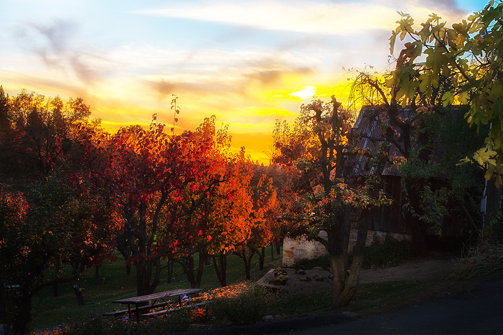
Boeger Winery Orchard
My neighbor's yard
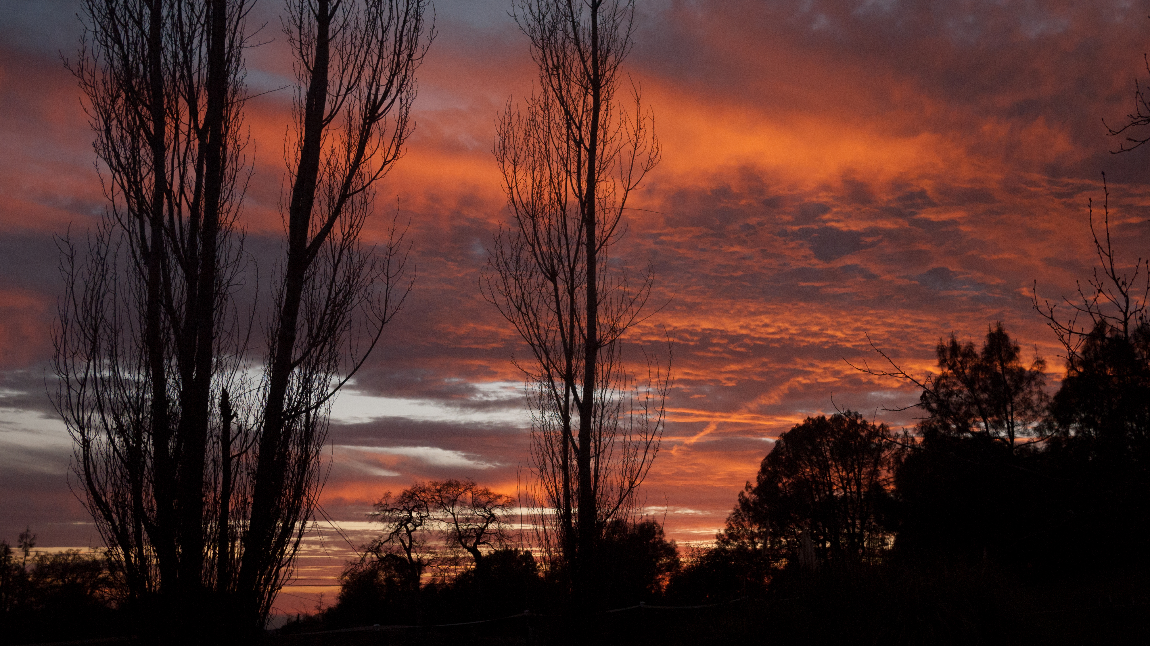
Christmas Tree Farm Sunset
Sunset Vineyard
Picnic and Tonka Toys
My neighbor's yard
The Shed on the Pond
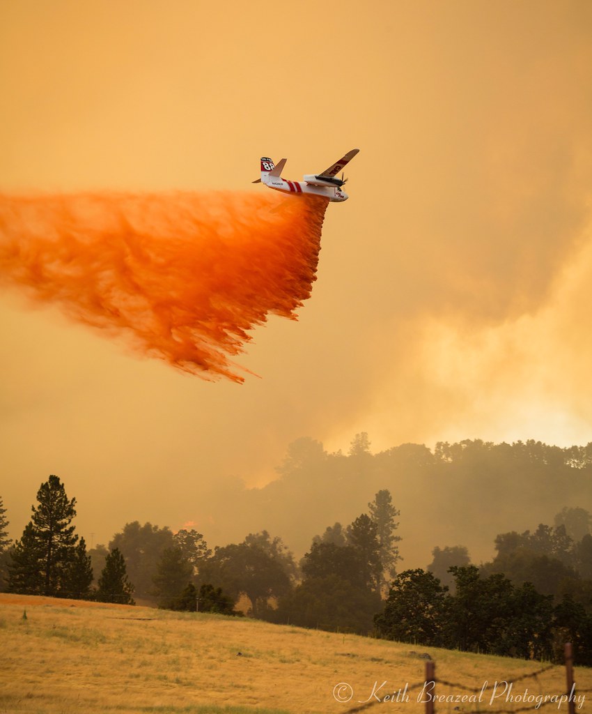
Sand Fire July 2014 © Keith Breazeal-38

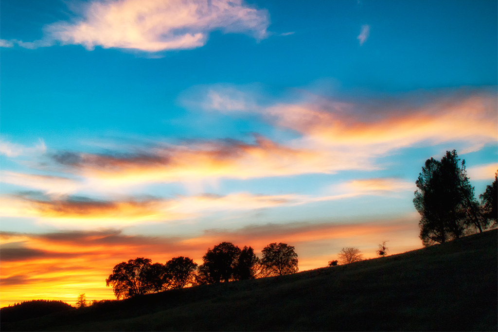
california sunset
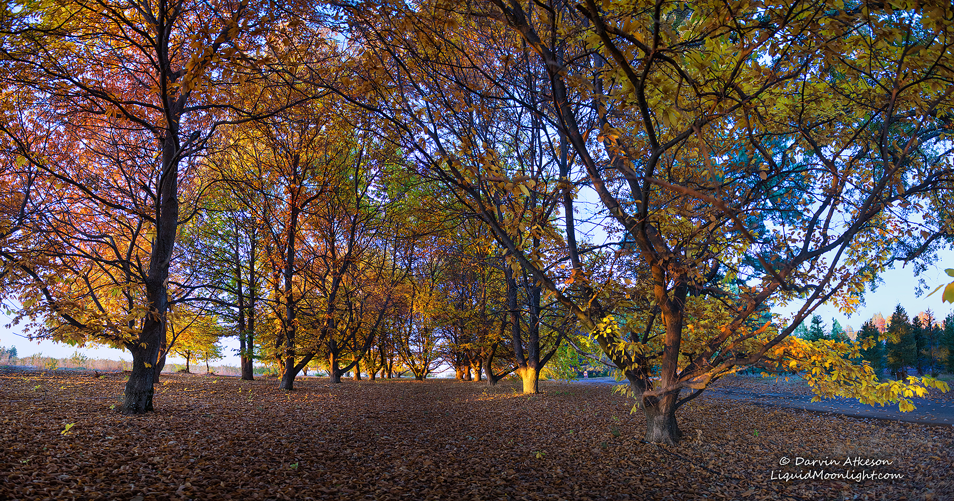
Chestnut Grove in Autumn Colors
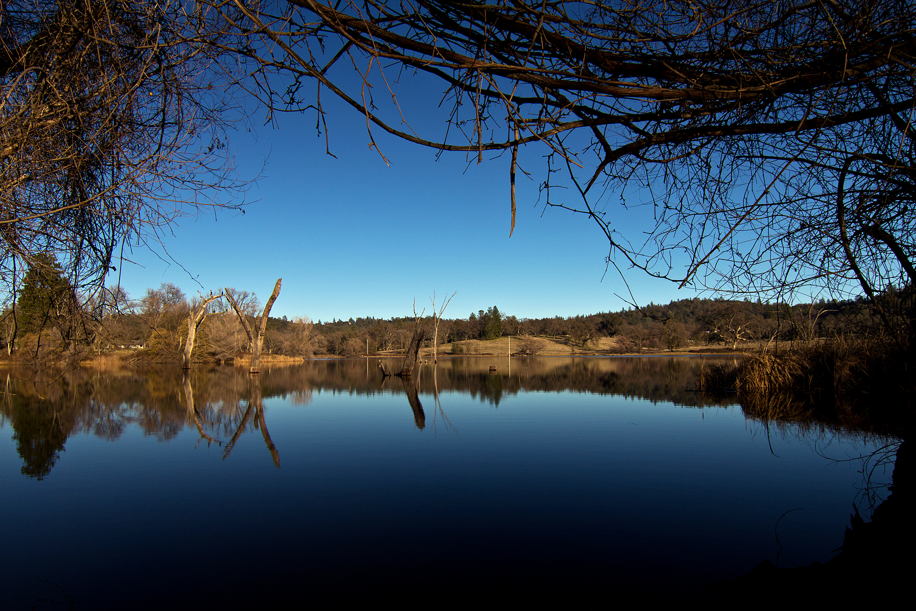
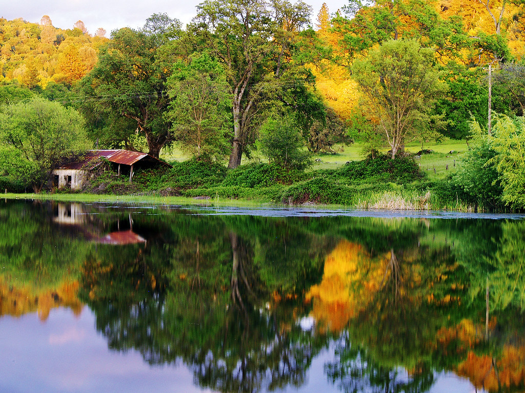
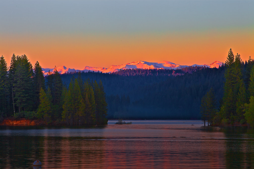
D'Agostini Reservoir

20120209-Sunset at Horseshoe Ranch
20120209-Sunset at Horseshoe Ranch

20120209-Sunset at Horseshoe Ranch
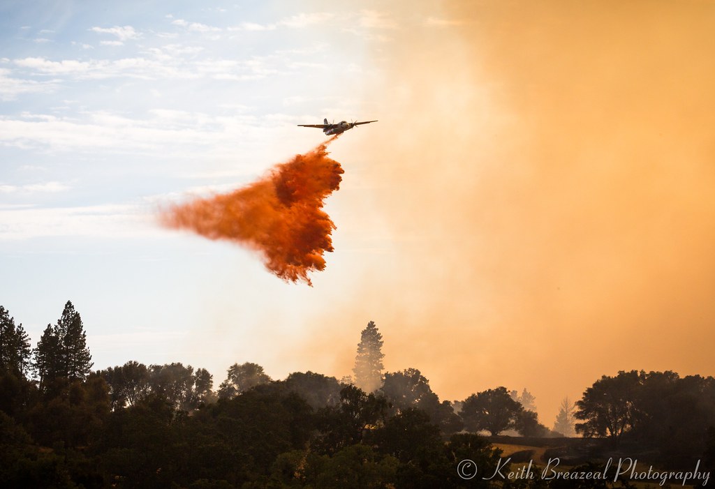
Sand Fire July 2014 © Keith Breazeal-32

20120209-Sunset at Horseshoe Ranch
Jenkinson Lake at sunset
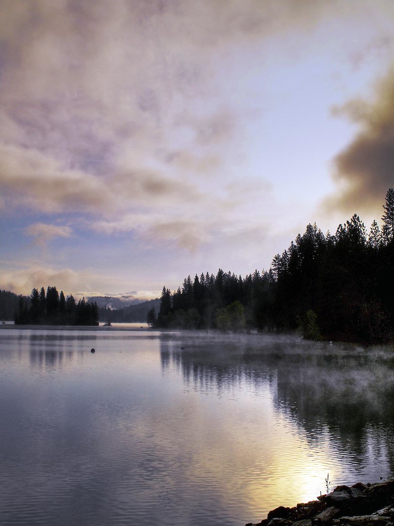
Jenkinson Lake 2008
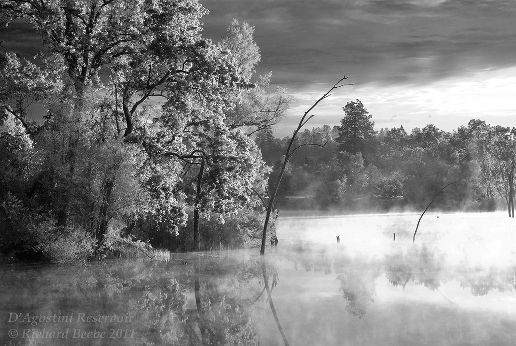
RB_05-27-11_033bw1_D'AgostiniRes-Sunrise
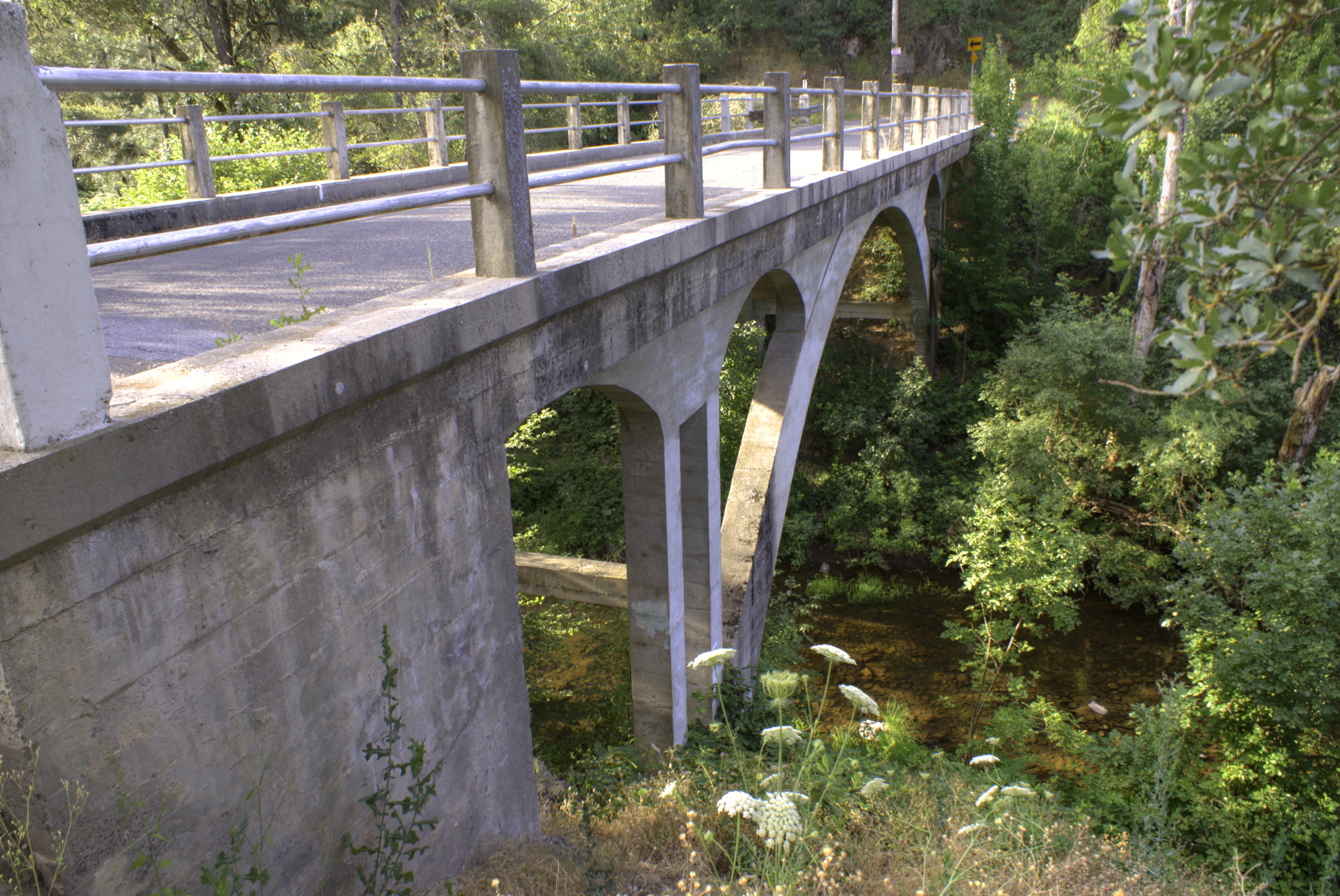
Weber Bridge
美国加利福尼亚州萨默塞特的地图
查询其他地方的日出日落时间
美国加利福尼亚州萨默塞特的其他地方
Snowbird Ln, Somerset, CA 美国Snowbird Lane
Raphael Ridge Rd, Somerset, CA 美国Raphael Ridge Road
Flat Creek Dr, Somerset, CA 美国Flat Creek Drive
Mehwald Ln, Somerset, CA 美国Mehwald Lane
Perry Creek Rd, Somerset, CA 美国Perry Creek Road
PI-PI Valley, California 美国Pi-Pi Valley
Cedarville Rd, California 美国Cedarville Road
附近地点
Bucks Bar Rd, Placerville, CA 美国
Mt Aukum Rd, Placerville, CA 美国
Stodick Ln, Placerville, CA 美国
Grizzly Flat Rd, Somerset, CA 美国
Snowbird Ln, Somerset, CA 美国Snowbird Lane
Happy Ln, Somerset, CA 美国
Perry Creek Rd, Somerset, CA 美国Perry Creek Road
Palace Ln, Placerville, CA 美国
Happy Ln, Somerset, CA 美国
Tolowa Trail, Placerville, CA 美国
Mehwald Ln, Somerset, CA 美国Mehwald Lane
Mehwald Ln, Somerset, CA 美国
Outingdale, CA, 美国
Stream Way, Somerset, CA 美国
Quail Way, Somerset, CA 美国
Cats Trail, Placerville, CA 美国
Sand Ridge Rd, Placerville, CA 美国
Myrick Rd, Somerset, CA 美国
美国加利福尼亚州费尔普莱
Vineyard View Dr, Somerset, CA 美国
最近搜索
- Red Dog Mine, AK, USA的日出日落时间表
- Am bhf, Borken, 德国Am Bahnhof的日出日落时间表
- 4th St E, Sonoma, CA 美国的日出日落时间表
- Oakland Ave, Williamsport, PA 美国的日出日落时间表
- Via Roma, Pieranica CR, Italy的日出日落时间表
- 克罗地亚杜布罗夫尼克 GradClock Tower of Dubrovnik的日出日落时间表
- 阿根廷丘布特省特雷利乌的日出日落时间表
- Hartfords Bluff Cir, Mt Pleasant, SC 美国的日出日落时间表
- 日本熊本县熊本市北区的日出日落时间表
- 中国福州市平潭县平潭岛的日出日落时间表