美国俄克拉何马奎帕的日出日落时间表
Location: 美国 > 俄克拉何马 > 渥太华 >
时区:
America/Chicago
当地时间:
2025-07-05 22:05:04
经度:
-94.7880057
纬度:
36.9545117
今天日出时间:
06:06:17 AM
今天日落时间:
08:41:50 PM
今天日照时常:
14h 35m 33s
明天日出时间:
06:06:52 AM
明天日落时间:
08:41:35 PM
明天日照时常:
14h 34m 43s
显示所有日期
| 日期 | 日出 | 日落 | 日照时常 |
|---|---|---|---|
| 2025年01月01日 | 07:32:24 AM | 05:14:12 PM | 9h 41m 48s |
| 2025年01月02日 | 07:32:30 AM | 05:15:02 PM | 9h 42m 32s |
| 2025年01月03日 | 07:32:34 AM | 05:15:52 PM | 9h 43m 18s |
| 2025年01月04日 | 07:32:36 AM | 05:16:44 PM | 9h 44m 8s |
| 2025年01月05日 | 07:32:36 AM | 05:17:36 PM | 9h 45m 0s |
| 2025年01月06日 | 07:32:34 AM | 05:18:30 PM | 9h 45m 56s |
| 2025年01月07日 | 07:32:30 AM | 05:19:25 PM | 9h 46m 55s |
| 2025年01月08日 | 07:32:24 AM | 05:20:21 PM | 9h 47m 57s |
| 2025年01月09日 | 07:32:15 AM | 05:21:17 PM | 9h 49m 2s |
| 2025年01月10日 | 07:32:05 AM | 05:22:15 PM | 9h 50m 10s |
| 2025年01月11日 | 07:31:53 AM | 05:23:13 PM | 9h 51m 20s |
| 2025年01月12日 | 07:31:39 AM | 05:24:12 PM | 9h 52m 33s |
| 2025年01月13日 | 07:31:23 AM | 05:25:12 PM | 9h 53m 49s |
| 2025年01月14日 | 07:31:05 AM | 05:26:13 PM | 9h 55m 8s |
| 2025年01月15日 | 07:30:44 AM | 05:27:14 PM | 9h 56m 30s |
| 2025年01月16日 | 07:30:22 AM | 05:28:15 PM | 9h 57m 53s |
| 2025年01月17日 | 07:29:58 AM | 05:29:18 PM | 9h 59m 20s |
| 2025年01月18日 | 07:29:32 AM | 05:30:20 PM | 10h 0m 48s |
| 2025年01月19日 | 07:29:04 AM | 05:31:23 PM | 10h 2m 19s |
| 2025年01月20日 | 07:28:34 AM | 05:32:27 PM | 10h 3m 53s |
| 2025年01月21日 | 07:28:03 AM | 05:33:31 PM | 10h 5m 28s |
| 2025年01月22日 | 07:27:29 AM | 05:34:35 PM | 10h 7m 6s |
| 2025年01月23日 | 07:26:54 AM | 05:35:39 PM | 10h 8m 45s |
| 2025年01月24日 | 07:26:17 AM | 05:36:44 PM | 10h 10m 27s |
| 2025年01月25日 | 07:25:38 AM | 05:37:49 PM | 10h 12m 11s |
| 2025年01月26日 | 07:24:57 AM | 05:38:54 PM | 10h 13m 57s |
| 2025年01月27日 | 07:24:15 AM | 05:39:59 PM | 10h 15m 44s |
| 2025年01月28日 | 07:23:31 AM | 05:41:04 PM | 10h 17m 33s |
| 2025年01月29日 | 07:22:45 AM | 05:42:09 PM | 10h 19m 24s |
| 2025年01月30日 | 07:21:57 AM | 05:43:15 PM | 10h 21m 18s |
| 2025年01月31日 | 07:21:08 AM | 05:44:20 PM | 10h 23m 12s |
| 2025年02月01日 | 07:20:18 AM | 05:45:25 PM | 10h 25m 7s |
| 2025年02月02日 | 07:19:25 AM | 05:46:30 PM | 10h 27m 5s |
| 2025年02月03日 | 07:18:32 AM | 05:47:35 PM | 10h 29m 3s |
| 2025年02月04日 | 07:17:36 AM | 05:48:40 PM | 10h 31m 4s |
| 2025年02月05日 | 07:16:40 AM | 05:49:45 PM | 10h 33m 5s |
| 2025年02月06日 | 07:15:42 AM | 05:50:49 PM | 10h 35m 7s |
| 2025年02月07日 | 07:14:42 AM | 05:51:54 PM | 10h 37m 12s |
| 2025年02月08日 | 07:13:41 AM | 05:52:58 PM | 10h 39m 17s |
| 2025年02月09日 | 07:12:39 AM | 05:54:02 PM | 10h 41m 23s |
| 2025年02月10日 | 07:11:35 AM | 05:55:05 PM | 10h 43m 30s |
| 2025年02月11日 | 07:10:31 AM | 05:56:09 PM | 10h 45m 38s |
| 2025年02月12日 | 07:09:24 AM | 05:57:12 PM | 10h 47m 48s |
| 2025年02月13日 | 07:08:17 AM | 05:58:15 PM | 10h 49m 58s |
| 2025年02月14日 | 07:07:09 AM | 05:59:18 PM | 10h 52m 9s |
| 2025年02月15日 | 07:05:59 AM | 06:00:20 PM | 10h 54m 21s |
| 2025年02月16日 | 07:04:49 AM | 06:01:22 PM | 10h 56m 33s |
| 2025年02月17日 | 07:03:37 AM | 06:02:24 PM | 10h 58m 47s |
| 2025年02月18日 | 07:02:24 AM | 06:03:25 PM | 11h 1m 1s |
| 2025年02月19日 | 07:01:10 AM | 06:04:27 PM | 11h 3m 17s |
| 2025年02月20日 | 06:59:55 AM | 06:05:27 PM | 11h 5m 32s |
| 2025年02月21日 | 06:58:40 AM | 06:06:28 PM | 11h 7m 48s |
| 2025年02月22日 | 06:57:23 AM | 06:07:28 PM | 11h 10m 5s |
| 2025年02月23日 | 06:56:06 AM | 06:08:28 PM | 11h 12m 22s |
| 2025年02月24日 | 06:54:47 AM | 06:09:27 PM | 11h 14m 40s |
| 2025年02月25日 | 06:53:28 AM | 06:10:27 PM | 11h 16m 59s |
| 2025年02月26日 | 06:52:08 AM | 06:11:25 PM | 11h 19m 17s |
| 2025年02月27日 | 06:50:47 AM | 06:12:24 PM | 11h 21m 37s |
| 2025年02月28日 | 06:49:26 AM | 06:13:22 PM | 11h 23m 56s |
| 2025年03月01日 | 06:48:04 AM | 06:14:20 PM | 11h 26m 16s |
| 2025年03月02日 | 06:46:41 AM | 06:15:18 PM | 11h 28m 37s |
| 2025年03月03日 | 06:45:18 AM | 06:16:15 PM | 11h 30m 57s |
| 2025年03月04日 | 06:43:54 AM | 06:17:12 PM | 11h 33m 18s |
| 2025年03月05日 | 06:42:29 AM | 06:18:09 PM | 11h 35m 40s |
| 2025年03月06日 | 06:41:04 AM | 06:19:05 PM | 11h 38m 1s |
| 2025年03月07日 | 06:39:39 AM | 06:20:01 PM | 11h 40m 22s |
| 2025年03月08日 | 06:38:13 AM | 06:20:57 PM | 11h 42m 44s |
| 2025年03月09日 | 07:36:50 AM | 07:21:51 PM | 11h 45m 1s |
| 2025年03月10日 | 07:35:23 AM | 07:22:46 PM | 11h 47m 23s |
| 2025年03月11日 | 07:33:56 AM | 07:23:41 PM | 11h 49m 45s |
| 2025年03月12日 | 07:32:28 AM | 07:24:36 PM | 11h 52m 8s |
| 2025年03月13日 | 07:31:01 AM | 07:25:31 PM | 11h 54m 30s |
| 2025年03月14日 | 07:29:33 AM | 07:26:26 PM | 11h 56m 53s |
| 2025年03月15日 | 07:28:04 AM | 07:27:20 PM | 11h 59m 16s |
| 2025年03月16日 | 07:26:36 AM | 07:28:14 PM | 12h 1m 38s |
| 2025年03月17日 | 07:25:07 AM | 07:29:08 PM | 12h 4m 1s |
| 2025年03月18日 | 07:23:38 AM | 07:30:02 PM | 12h 6m 24s |
| 2025年03月19日 | 07:22:09 AM | 07:30:55 PM | 12h 8m 46s |
| 2025年03月20日 | 07:20:40 AM | 07:31:49 PM | 12h 11m 9s |
| 2025年03月21日 | 07:19:11 AM | 07:32:42 PM | 12h 13m 31s |
| 2025年03月22日 | 07:17:41 AM | 07:33:36 PM | 12h 15m 55s |
| 2025年03月23日 | 07:16:12 AM | 07:34:29 PM | 12h 18m 17s |
| 2025年03月24日 | 07:14:43 AM | 07:35:22 PM | 12h 20m 39s |
| 2025年03月25日 | 07:13:14 AM | 07:36:15 PM | 12h 23m 1s |
| 2025年03月26日 | 07:11:44 AM | 07:37:08 PM | 12h 25m 24s |
| 2025年03月27日 | 07:10:15 AM | 07:38:01 PM | 12h 27m 46s |
| 2025年03月28日 | 07:08:47 AM | 07:38:53 PM | 12h 30m 6s |
| 2025年03月29日 | 07:07:18 AM | 07:39:46 PM | 12h 32m 28s |
| 2025年03月30日 | 07:05:49 AM | 07:40:39 PM | 12h 34m 50s |
| 2025年03月31日 | 07:04:21 AM | 07:41:31 PM | 12h 37m 10s |
| 2025年04月01日 | 07:02:53 AM | 07:42:24 PM | 12h 39m 31s |
| 2025年04月02日 | 07:01:25 AM | 07:43:17 PM | 12h 41m 52s |
| 2025年04月03日 | 06:59:58 AM | 07:44:09 PM | 12h 44m 11s |
| 2025年04月04日 | 06:58:31 AM | 07:45:02 PM | 12h 46m 31s |
| 2025年04月05日 | 06:57:04 AM | 07:45:54 PM | 12h 48m 50s |
| 2025年04月06日 | 06:55:38 AM | 07:46:47 PM | 12h 51m 9s |
| 2025年04月07日 | 06:54:12 AM | 07:47:40 PM | 12h 53m 28s |
| 2025年04月08日 | 06:52:47 AM | 07:48:32 PM | 12h 55m 45s |
| 2025年04月09日 | 06:51:22 AM | 07:49:25 PM | 12h 58m 3s |
| 2025年04月10日 | 06:49:58 AM | 07:50:18 PM | 13h 0m 20s |
| 2025年04月11日 | 06:48:34 AM | 07:51:11 PM | 13h 2m 37s |
| 2025年04月12日 | 06:47:11 AM | 07:52:04 PM | 13h 4m 53s |
| 2025年04月13日 | 06:45:48 AM | 07:52:56 PM | 13h 7m 8s |
| 2025年04月14日 | 06:44:26 AM | 07:53:49 PM | 13h 9m 23s |
| 2025年04月15日 | 06:43:05 AM | 07:54:42 PM | 13h 11m 37s |
| 2025年04月16日 | 06:41:44 AM | 07:55:35 PM | 13h 13m 51s |
| 2025年04月17日 | 06:40:24 AM | 07:56:28 PM | 13h 16m 4s |
| 2025年04月18日 | 06:39:05 AM | 07:57:22 PM | 13h 18m 17s |
| 2025年04月19日 | 06:37:47 AM | 07:58:15 PM | 13h 20m 28s |
| 2025年04月20日 | 06:36:29 AM | 07:59:08 PM | 13h 22m 39s |
| 2025年04月21日 | 06:35:13 AM | 08:00:01 PM | 13h 24m 48s |
| 2025年04月22日 | 06:33:57 AM | 08:00:54 PM | 13h 26m 57s |
| 2025年04月23日 | 06:32:42 AM | 08:01:48 PM | 13h 29m 6s |
| 2025年04月24日 | 06:31:28 AM | 08:02:41 PM | 13h 31m 13s |
| 2025年04月25日 | 06:30:15 AM | 08:03:34 PM | 13h 33m 19s |
| 2025年04月26日 | 06:29:03 AM | 08:04:28 PM | 13h 35m 25s |
| 2025年04月27日 | 06:27:52 AM | 08:05:21 PM | 13h 37m 29s |
| 2025年04月28日 | 06:26:42 AM | 08:06:14 PM | 13h 39m 32s |
| 2025年04月29日 | 06:25:34 AM | 08:07:08 PM | 13h 41m 34s |
| 2025年04月30日 | 06:24:26 AM | 08:08:01 PM | 13h 43m 35s |
| 2025年05月01日 | 06:23:19 AM | 08:08:54 PM | 13h 45m 35s |
| 2025年05月02日 | 06:22:14 AM | 08:09:47 PM | 13h 47m 33s |
| 2025年05月03日 | 06:21:10 AM | 08:10:40 PM | 13h 49m 30s |
| 2025年05月04日 | 06:20:07 AM | 08:11:33 PM | 13h 51m 26s |
| 2025年05月05日 | 06:19:05 AM | 08:12:26 PM | 13h 53m 21s |
| 2025年05月06日 | 06:18:05 AM | 08:13:18 PM | 13h 55m 13s |
| 2025年05月07日 | 06:17:06 AM | 08:14:11 PM | 13h 57m 5s |
| 2025年05月08日 | 06:16:08 AM | 08:15:03 PM | 13h 58m 55s |
| 2025年05月09日 | 06:15:12 AM | 08:15:55 PM | 14h 0m 43s |
| 2025年05月10日 | 06:14:17 AM | 08:16:46 PM | 14h 2m 29s |
| 2025年05月11日 | 06:13:23 AM | 08:17:38 PM | 14h 4m 15s |
| 2025年05月12日 | 06:12:31 AM | 08:18:29 PM | 14h 5m 58s |
| 2025年05月13日 | 06:11:40 AM | 08:19:20 PM | 14h 7m 40s |
| 2025年05月14日 | 06:10:51 AM | 08:20:11 PM | 14h 9m 20s |
| 2025年05月15日 | 06:10:03 AM | 08:21:01 PM | 14h 10m 58s |
| 2025年05月16日 | 06:09:17 AM | 08:21:51 PM | 14h 12m 34s |
| 2025年05月17日 | 06:08:32 AM | 08:22:40 PM | 14h 14m 8s |
| 2025年05月18日 | 06:07:49 AM | 08:23:29 PM | 14h 15m 40s |
| 2025年05月19日 | 06:07:08 AM | 08:24:17 PM | 14h 17m 9s |
| 2025年05月20日 | 06:06:28 AM | 08:25:05 PM | 14h 18m 37s |
| 2025年05月21日 | 06:05:50 AM | 08:25:52 PM | 14h 20m 2s |
| 2025年05月22日 | 06:05:13 AM | 08:26:39 PM | 14h 21m 26s |
| 2025年05月23日 | 06:04:38 AM | 08:27:25 PM | 14h 22m 47s |
| 2025年05月24日 | 06:04:05 AM | 08:28:10 PM | 14h 24m 5s |
| 2025年05月25日 | 06:03:33 AM | 08:28:55 PM | 14h 25m 22s |
| 2025年05月26日 | 06:03:03 AM | 08:29:39 PM | 14h 26m 36s |
| 2025年05月27日 | 06:02:35 AM | 08:30:22 PM | 14h 27m 47s |
| 2025年05月28日 | 06:02:09 AM | 08:31:04 PM | 14h 28m 55s |
| 2025年05月29日 | 06:01:44 AM | 08:31:45 PM | 14h 30m 1s |
| 2025年05月30日 | 06:01:21 AM | 08:32:26 PM | 14h 31m 5s |
| 2025年05月31日 | 06:01:00 AM | 08:33:05 PM | 14h 32m 5s |
| 2025年06月01日 | 06:00:40 AM | 08:33:44 PM | 14h 33m 4s |
| 2025年06月02日 | 06:00:22 AM | 08:34:21 PM | 14h 33m 59s |
| 2025年06月03日 | 06:00:06 AM | 08:34:58 PM | 14h 34m 52s |
| 2025年06月04日 | 05:59:52 AM | 08:35:33 PM | 14h 35m 41s |
| 2025年06月05日 | 05:59:40 AM | 08:36:08 PM | 14h 36m 28s |
| 2025年06月06日 | 05:59:29 AM | 08:36:41 PM | 14h 37m 12s |
| 2025年06月07日 | 05:59:20 AM | 08:37:13 PM | 14h 37m 53s |
| 2025年06月08日 | 05:59:13 AM | 08:37:43 PM | 14h 38m 30s |
| 2025年06月09日 | 05:59:07 AM | 08:38:13 PM | 14h 39m 6s |
| 2025年06月10日 | 05:59:04 AM | 08:38:41 PM | 14h 39m 37s |
| 2025年06月11日 | 05:59:02 AM | 08:39:08 PM | 14h 40m 6s |
| 2025年06月12日 | 05:59:02 AM | 08:39:33 PM | 14h 40m 31s |
| 2025年06月13日 | 05:59:03 AM | 08:39:57 PM | 14h 40m 54s |
| 2025年06月14日 | 05:59:06 AM | 08:40:20 PM | 14h 41m 14s |
| 2025年06月15日 | 05:59:11 AM | 08:40:41 PM | 14h 41m 30s |
| 2025年06月16日 | 05:59:17 AM | 08:41:00 PM | 14h 41m 43s |
| 2025年06月17日 | 05:59:25 AM | 08:41:18 PM | 14h 41m 53s |
| 2025年06月18日 | 05:59:35 AM | 08:41:35 PM | 14h 42m 0s |
| 2025年06月19日 | 05:59:46 AM | 08:41:49 PM | 14h 42m 3s |
| 2025年06月20日 | 05:59:59 AM | 08:42:03 PM | 14h 42m 4s |
| 2025年06月21日 | 06:00:14 AM | 08:42:14 PM | 14h 42m 0s |
| 2025年06月22日 | 06:00:30 AM | 08:42:24 PM | 14h 41m 54s |
| 2025年06月23日 | 06:00:47 AM | 08:42:33 PM | 14h 41m 46s |
| 2025年06月24日 | 06:01:06 AM | 08:42:39 PM | 14h 41m 33s |
| 2025年06月25日 | 06:01:26 AM | 08:42:44 PM | 14h 41m 18s |
| 2025年06月26日 | 06:01:48 AM | 08:42:47 PM | 14h 40m 59s |
| 2025年06月27日 | 06:02:11 AM | 08:42:49 PM | 14h 40m 38s |
| 2025年06月28日 | 06:02:36 AM | 08:42:49 PM | 14h 40m 13s |
| 2025年06月29日 | 06:03:01 AM | 08:42:46 PM | 14h 39m 45s |
| 2025年06月30日 | 06:03:28 AM | 08:42:43 PM | 14h 39m 15s |
| 2025年07月01日 | 06:03:57 AM | 08:42:37 PM | 14h 38m 40s |
| 2025年07月02日 | 06:04:26 AM | 08:42:30 PM | 14h 38m 4s |
| 2025年07月03日 | 06:04:57 AM | 08:42:20 PM | 14h 37m 23s |
| 2025年07月04日 | 06:05:29 AM | 08:42:09 PM | 14h 36m 40s |
| 2025年07月05日 | 06:06:02 AM | 08:41:57 PM | 14h 35m 55s |
| 2025年07月06日 | 06:06:36 AM | 08:41:42 PM | 14h 35m 6s |
| 2025年07月07日 | 06:07:11 AM | 08:41:26 PM | 14h 34m 15s |
| 2025年07月08日 | 06:07:47 AM | 08:41:07 PM | 14h 33m 20s |
| 2025年07月09日 | 06:08:24 AM | 08:40:47 PM | 14h 32m 23s |
| 2025年07月10日 | 06:09:02 AM | 08:40:25 PM | 14h 31m 23s |
| 2025年07月11日 | 06:09:40 AM | 08:40:02 PM | 14h 30m 22s |
| 2025年07月12日 | 06:10:20 AM | 08:39:37 PM | 14h 29m 17s |
| 2025年07月13日 | 06:11:00 AM | 08:39:09 PM | 14h 28m 9s |
| 2025年07月14日 | 06:11:41 AM | 08:38:41 PM | 14h 27m 0s |
| 2025年07月15日 | 06:12:23 AM | 08:38:10 PM | 14h 25m 47s |
| 2025年07月16日 | 06:13:06 AM | 08:37:38 PM | 14h 24m 32s |
| 2025年07月17日 | 06:13:49 AM | 08:37:03 PM | 14h 23m 14s |
| 2025年07月18日 | 06:14:33 AM | 08:36:28 PM | 14h 21m 55s |
| 2025年07月19日 | 06:15:17 AM | 08:35:50 PM | 14h 20m 33s |
| 2025年07月20日 | 06:16:02 AM | 08:35:11 PM | 14h 19m 9s |
| 2025年07月21日 | 06:16:47 AM | 08:34:30 PM | 14h 17m 43s |
| 2025年07月22日 | 06:17:33 AM | 08:33:48 PM | 14h 16m 15s |
| 2025年07月23日 | 06:18:20 AM | 08:33:04 PM | 14h 14m 44s |
| 2025年07月24日 | 06:19:06 AM | 08:32:18 PM | 14h 13m 12s |
| 2025年07月25日 | 06:19:54 AM | 08:31:31 PM | 14h 11m 37s |
| 2025年07月26日 | 06:20:41 AM | 08:30:42 PM | 14h 10m 1s |
| 2025年07月27日 | 06:21:29 AM | 08:29:52 PM | 14h 8m 23s |
| 2025年07月28日 | 06:22:17 AM | 08:29:00 PM | 14h 6m 43s |
| 2025年07月29日 | 06:23:05 AM | 08:28:07 PM | 14h 5m 2s |
| 2025年07月30日 | 06:23:54 AM | 08:27:12 PM | 14h 3m 18s |
| 2025年07月31日 | 06:24:43 AM | 08:26:16 PM | 14h 1m 33s |
| 2025年08月01日 | 06:25:32 AM | 08:25:19 PM | 13h 59m 47s |
| 2025年08月02日 | 06:26:21 AM | 08:24:20 PM | 13h 57m 59s |
| 2025年08月03日 | 06:27:10 AM | 08:23:19 PM | 13h 56m 9s |
| 2025年08月04日 | 06:28:00 AM | 08:22:18 PM | 13h 54m 18s |
| 2025年08月05日 | 06:28:49 AM | 08:21:15 PM | 13h 52m 26s |
| 2025年08月06日 | 06:29:39 AM | 08:20:11 PM | 13h 50m 32s |
| 2025年08月07日 | 06:30:29 AM | 08:19:05 PM | 13h 48m 36s |
| 2025年08月08日 | 06:31:18 AM | 08:17:59 PM | 13h 46m 41s |
| 2025年08月09日 | 06:32:08 AM | 08:16:51 PM | 13h 44m 43s |
| 2025年08月10日 | 06:32:58 AM | 08:15:42 PM | 13h 42m 44s |
| 2025年08月11日 | 06:33:48 AM | 08:14:32 PM | 13h 40m 44s |
| 2025年08月12日 | 06:34:38 AM | 08:13:20 PM | 13h 38m 42s |
| 2025年08月13日 | 06:35:27 AM | 08:12:08 PM | 13h 36m 41s |
| 2025年08月14日 | 06:36:17 AM | 08:10:55 PM | 13h 34m 38s |
| 2025年08月15日 | 06:37:07 AM | 08:09:40 PM | 13h 32m 33s |
| 2025年08月16日 | 06:37:57 AM | 08:08:25 PM | 13h 30m 28s |
| 2025年08月17日 | 06:38:46 AM | 08:07:09 PM | 13h 28m 23s |
| 2025年08月18日 | 06:39:36 AM | 08:05:51 PM | 13h 26m 15s |
| 2025年08月19日 | 06:40:25 AM | 08:04:33 PM | 13h 24m 8s |
| 2025年08月20日 | 06:41:15 AM | 08:03:14 PM | 13h 21m 59s |
| 2025年08月21日 | 06:42:04 AM | 08:01:54 PM | 13h 19m 50s |
| 2025年08月22日 | 06:42:53 AM | 08:00:34 PM | 13h 17m 41s |
| 2025年08月23日 | 06:43:42 AM | 07:59:12 PM | 13h 15m 30s |
| 2025年08月24日 | 06:44:32 AM | 07:57:50 PM | 13h 13m 18s |
| 2025年08月25日 | 06:45:21 AM | 07:56:27 PM | 13h 11m 6s |
| 2025年08月26日 | 06:46:10 AM | 07:55:04 PM | 13h 8m 54s |
| 2025年08月27日 | 06:46:58 AM | 07:53:39 PM | 13h 6m 41s |
| 2025年08月28日 | 06:47:47 AM | 07:52:15 PM | 13h 4m 28s |
| 2025年08月29日 | 06:48:36 AM | 07:50:49 PM | 13h 2m 13s |
| 2025年08月30日 | 06:49:25 AM | 07:49:23 PM | 12h 59m 58s |
| 2025年08月31日 | 06:50:13 AM | 07:47:56 PM | 12h 57m 43s |
| 2025年09月01日 | 06:51:02 AM | 07:46:29 PM | 12h 55m 27s |
| 2025年09月02日 | 06:51:50 AM | 07:45:02 PM | 12h 53m 12s |
| 2025年09月03日 | 06:52:39 AM | 07:43:33 PM | 12h 50m 54s |
| 2025年09月04日 | 06:53:27 AM | 07:42:05 PM | 12h 48m 38s |
| 2025年09月05日 | 06:54:15 AM | 07:40:36 PM | 12h 46m 21s |
| 2025年09月06日 | 06:55:04 AM | 07:39:07 PM | 12h 44m 3s |
| 2025年09月07日 | 06:55:52 AM | 07:37:37 PM | 12h 41m 45s |
| 2025年09月08日 | 06:56:40 AM | 07:36:07 PM | 12h 39m 27s |
| 2025年09月09日 | 06:57:29 AM | 07:34:37 PM | 12h 37m 8s |
| 2025年09月10日 | 06:58:17 AM | 07:33:06 PM | 12h 34m 49s |
| 2025年09月11日 | 06:59:05 AM | 07:31:36 PM | 12h 32m 31s |
| 2025年09月12日 | 06:59:53 AM | 07:30:05 PM | 12h 30m 12s |
| 2025年09月13日 | 07:00:42 AM | 07:28:34 PM | 12h 27m 52s |
| 2025年09月14日 | 07:01:30 AM | 07:27:02 PM | 12h 25m 32s |
| 2025年09月15日 | 07:02:19 AM | 07:25:31 PM | 12h 23m 12s |
| 2025年09月16日 | 07:03:07 AM | 07:24:00 PM | 12h 20m 53s |
| 2025年09月17日 | 07:03:56 AM | 07:22:28 PM | 12h 18m 32s |
| 2025年09月18日 | 07:04:45 AM | 07:20:57 PM | 12h 16m 12s |
| 2025年09月19日 | 07:05:33 AM | 07:19:25 PM | 12h 13m 52s |
| 2025年09月20日 | 07:06:22 AM | 07:17:54 PM | 12h 11m 32s |
| 2025年09月21日 | 07:07:11 AM | 07:16:22 PM | 12h 9m 11s |
| 2025年09月22日 | 07:08:00 AM | 07:14:51 PM | 12h 6m 51s |
| 2025年09月23日 | 07:08:50 AM | 07:13:20 PM | 12h 4m 30s |
| 2025年09月24日 | 07:09:39 AM | 07:11:48 PM | 12h 2m 9s |
| 2025年09月25日 | 07:10:29 AM | 07:10:18 PM | 11h 59m 49s |
| 2025年09月26日 | 07:11:19 AM | 07:08:47 PM | 11h 57m 28s |
| 2025年09月27日 | 07:12:09 AM | 07:07:17 PM | 11h 55m 8s |
| 2025年09月28日 | 07:12:59 AM | 07:05:46 PM | 11h 52m 47s |
| 2025年09月29日 | 07:13:50 AM | 07:04:16 PM | 11h 50m 26s |
| 2025年09月30日 | 07:14:40 AM | 07:02:47 PM | 11h 48m 7s |
| 2025年10月01日 | 07:15:31 AM | 07:01:18 PM | 11h 45m 47s |
| 2025年10月02日 | 07:16:22 AM | 06:59:49 PM | 11h 43m 27s |
| 2025年10月03日 | 07:17:14 AM | 06:58:21 PM | 11h 41m 7s |
| 2025年10月04日 | 07:18:06 AM | 06:56:53 PM | 11h 38m 47s |
| 2025年10月05日 | 07:18:58 AM | 06:55:25 PM | 11h 36m 27s |
| 2025年10月06日 | 07:19:50 AM | 06:53:58 PM | 11h 34m 8s |
| 2025年10月07日 | 07:20:42 AM | 06:52:32 PM | 11h 31m 50s |
| 2025年10月08日 | 07:21:35 AM | 06:51:06 PM | 11h 29m 31s |
| 2025年10月09日 | 07:22:28 AM | 06:49:41 PM | 11h 27m 13s |
| 2025年10月10日 | 07:23:22 AM | 06:48:16 PM | 11h 24m 54s |
| 2025年10月11日 | 07:24:16 AM | 06:46:52 PM | 11h 22m 36s |
| 2025年10月12日 | 07:25:10 AM | 06:45:29 PM | 11h 20m 19s |
| 2025年10月13日 | 07:26:05 AM | 06:44:06 PM | 11h 18m 1s |
| 2025年10月14日 | 07:26:59 AM | 06:42:45 PM | 11h 15m 46s |
| 2025年10月15日 | 07:27:55 AM | 06:41:24 PM | 11h 13m 29s |
| 2025年10月16日 | 07:28:50 AM | 06:40:04 PM | 11h 11m 14s |
| 2025年10月17日 | 07:29:46 AM | 06:38:44 PM | 11h 8m 58s |
| 2025年10月18日 | 07:30:42 AM | 06:37:26 PM | 11h 6m 44s |
| 2025年10月19日 | 07:31:39 AM | 06:36:08 PM | 11h 4m 29s |
| 2025年10月20日 | 07:32:36 AM | 06:34:52 PM | 11h 2m 16s |
| 2025年10月21日 | 07:33:33 AM | 06:33:36 PM | 11h 0m 3s |
| 2025年10月22日 | 07:34:31 AM | 06:32:22 PM | 10h 57m 51s |
| 2025年10月23日 | 07:35:29 AM | 06:31:08 PM | 10h 55m 39s |
| 2025年10月24日 | 07:36:27 AM | 06:29:56 PM | 10h 53m 29s |
| 2025年10月25日 | 07:37:26 AM | 06:28:45 PM | 10h 51m 19s |
| 2025年10月26日 | 07:38:25 AM | 06:27:34 PM | 10h 49m 9s |
| 2025年10月27日 | 07:39:24 AM | 06:26:26 PM | 10h 47m 2s |
| 2025年10月28日 | 07:40:24 AM | 06:25:18 PM | 10h 44m 54s |
| 2025年10月29日 | 07:41:23 AM | 06:24:11 PM | 10h 42m 48s |
| 2025年10月30日 | 07:42:24 AM | 06:23:06 PM | 10h 40m 42s |
| 2025年10月31日 | 07:43:24 AM | 06:22:02 PM | 10h 38m 38s |
| 2025年11月01日 | 07:44:25 AM | 06:21:00 PM | 10h 36m 35s |
| 2025年11月02日 | 06:45:28 AM | 05:19:56 PM | 10h 34m 28s |
| 2025年11月03日 | 06:46:30 AM | 05:18:56 PM | 10h 32m 26s |
| 2025年11月04日 | 06:47:31 AM | 05:17:58 PM | 10h 30m 27s |
| 2025年11月05日 | 06:48:33 AM | 05:17:01 PM | 10h 28m 28s |
| 2025年11月06日 | 06:49:34 AM | 05:16:06 PM | 10h 26m 32s |
| 2025年11月07日 | 06:50:36 AM | 05:15:12 PM | 10h 24m 36s |
| 2025年11月08日 | 06:51:38 AM | 05:14:20 PM | 10h 22m 42s |
| 2025年11月09日 | 06:52:40 AM | 05:13:29 PM | 10h 20m 49s |
| 2025年11月10日 | 06:53:43 AM | 05:12:40 PM | 10h 18m 57s |
| 2025年11月11日 | 06:54:45 AM | 05:11:53 PM | 10h 17m 8s |
| 2025年11月12日 | 06:55:47 AM | 05:11:08 PM | 10h 15m 21s |
| 2025年11月13日 | 06:56:49 AM | 05:10:24 PM | 10h 13m 35s |
| 2025年11月14日 | 06:57:52 AM | 05:09:42 PM | 10h 11m 50s |
| 2025年11月15日 | 06:58:54 AM | 05:09:01 PM | 10h 10m 7s |
| 2025年11月16日 | 06:59:56 AM | 05:08:23 PM | 10h 8m 27s |
| 2025年11月17日 | 07:00:57 AM | 05:07:46 PM | 10h 6m 49s |
| 2025年11月18日 | 07:01:59 AM | 05:07:11 PM | 10h 5m 12s |
| 2025年11月19日 | 07:03:00 AM | 05:06:38 PM | 10h 3m 38s |
| 2025年11月20日 | 07:04:01 AM | 05:06:07 PM | 10h 2m 6s |
| 2025年11月21日 | 07:05:02 AM | 05:05:38 PM | 10h 0m 36s |
| 2025年11月22日 | 07:06:03 AM | 05:05:10 PM | 9h 59m 7s |
| 2025年11月23日 | 07:07:03 AM | 05:04:45 PM | 9h 57m 42s |
| 2025年11月24日 | 07:08:02 AM | 05:04:22 PM | 9h 56m 20s |
| 2025年11月25日 | 07:09:01 AM | 05:04:00 PM | 9h 54m 59s |
| 2025年11月26日 | 07:10:00 AM | 05:03:41 PM | 9h 53m 41s |
| 2025年11月27日 | 07:10:58 AM | 05:03:24 PM | 9h 52m 26s |
| 2025年11月28日 | 07:11:55 AM | 05:03:08 PM | 9h 51m 13s |
| 2025年11月29日 | 07:12:52 AM | 05:02:55 PM | 9h 50m 3s |
| 2025年11月30日 | 07:13:47 AM | 05:02:44 PM | 9h 48m 57s |
| 2025年12月01日 | 07:14:43 AM | 05:02:35 PM | 9h 47m 52s |
| 2025年12月02日 | 07:15:37 AM | 05:02:27 PM | 9h 46m 50s |
| 2025年12月03日 | 07:16:30 AM | 05:02:22 PM | 9h 45m 52s |
| 2025年12月04日 | 07:17:23 AM | 05:02:20 PM | 9h 44m 57s |
| 2025年12月05日 | 07:18:14 AM | 05:02:19 PM | 9h 44m 5s |
| 2025年12月06日 | 07:19:04 AM | 05:02:20 PM | 9h 43m 16s |
| 2025年12月07日 | 07:19:54 AM | 05:02:23 PM | 9h 42m 29s |
| 2025年12月08日 | 07:20:42 AM | 05:02:28 PM | 9h 41m 46s |
| 2025年12月09日 | 07:21:29 AM | 05:02:36 PM | 9h 41m 7s |
| 2025年12月10日 | 07:22:14 AM | 05:02:45 PM | 9h 40m 31s |
| 2025年12月11日 | 07:22:59 AM | 05:02:56 PM | 9h 39m 57s |
| 2025年12月12日 | 07:23:42 AM | 05:03:10 PM | 9h 39m 28s |
| 2025年12月13日 | 07:24:24 AM | 05:03:25 PM | 9h 39m 1s |
| 2025年12月14日 | 07:25:04 AM | 05:03:43 PM | 9h 38m 39s |
| 2025年12月15日 | 07:25:43 AM | 05:04:02 PM | 9h 38m 19s |
| 2025年12月16日 | 07:26:20 AM | 05:04:23 PM | 9h 38m 3s |
| 2025年12月17日 | 07:26:56 AM | 05:04:46 PM | 9h 37m 50s |
| 2025年12月18日 | 07:27:30 AM | 05:05:12 PM | 9h 37m 42s |
| 2025年12月19日 | 07:28:03 AM | 05:05:38 PM | 9h 37m 35s |
| 2025年12月20日 | 07:28:34 AM | 05:06:07 PM | 9h 37m 33s |
| 2025年12月21日 | 07:29:03 AM | 05:06:38 PM | 9h 37m 35s |
| 2025年12月22日 | 07:29:30 AM | 05:07:10 PM | 9h 37m 40s |
| 2025年12月23日 | 07:29:56 AM | 05:07:44 PM | 9h 37m 48s |
| 2025年12月24日 | 07:30:19 AM | 05:08:20 PM | 9h 38m 1s |
| 2025年12月25日 | 07:30:41 AM | 05:08:57 PM | 9h 38m 16s |
| 2025年12月26日 | 07:31:02 AM | 05:09:36 PM | 9h 38m 34s |
| 2025年12月27日 | 07:31:20 AM | 05:10:16 PM | 9h 38m 56s |
| 2025年12月28日 | 07:31:36 AM | 05:10:58 PM | 9h 39m 22s |
| 2025年12月29日 | 07:31:51 AM | 05:11:42 PM | 9h 39m 51s |
| 2025年12月30日 | 07:32:03 AM | 05:12:27 PM | 9h 40m 24s |
| 2025年12月31日 | 07:32:13 AM | 05:13:13 PM | 9h 41m 0s |
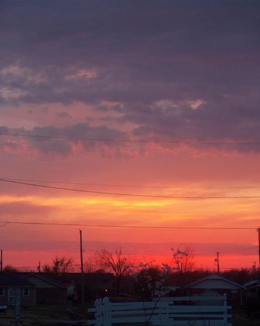
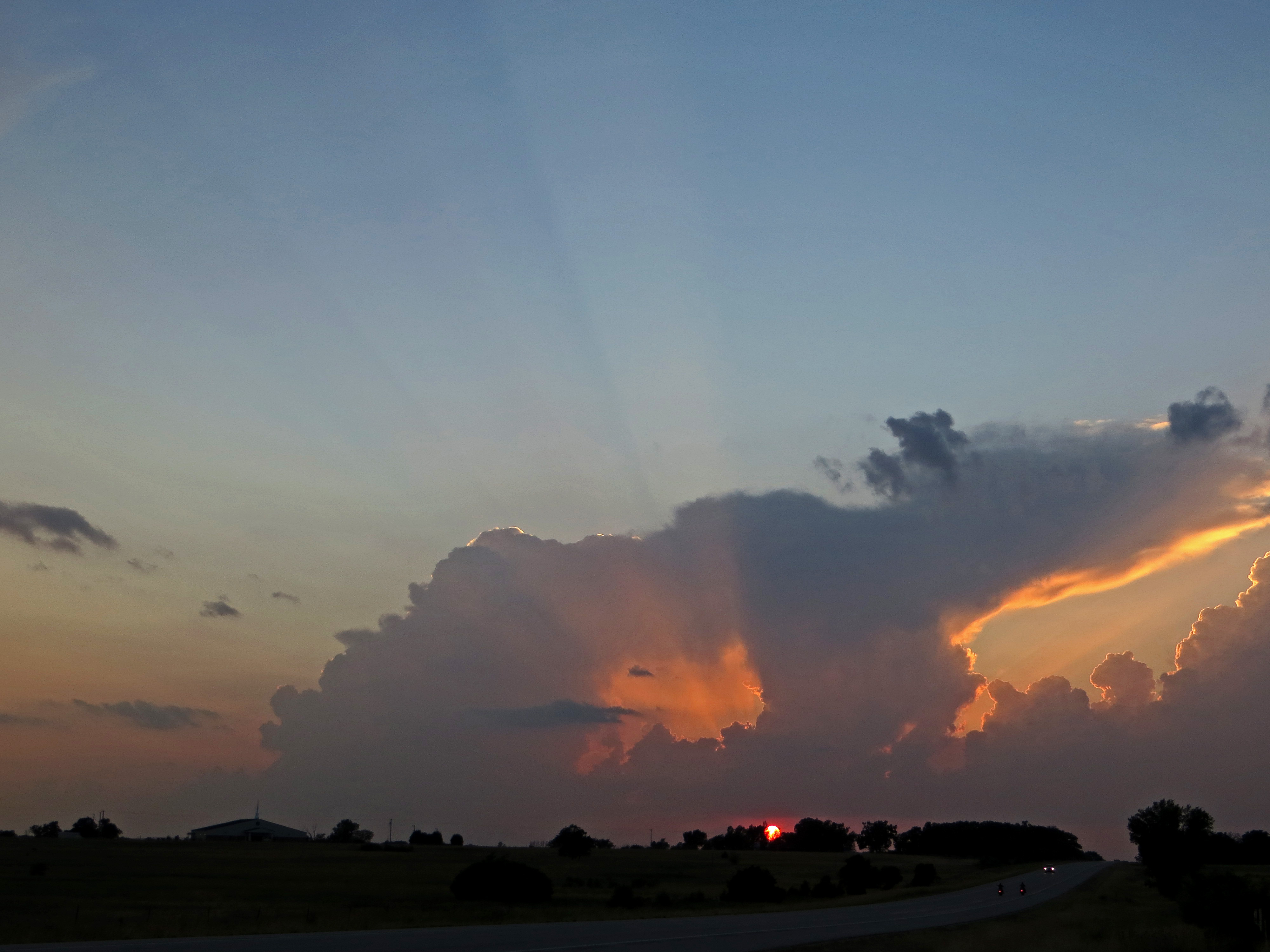
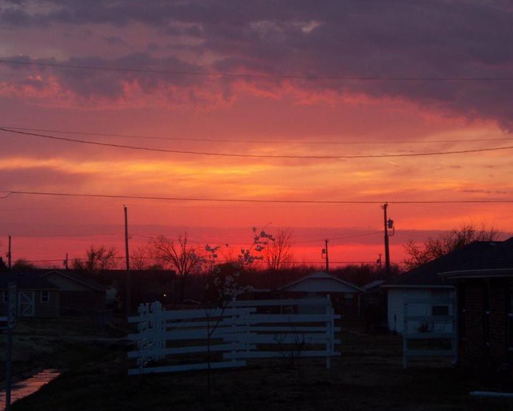
日出日落照片
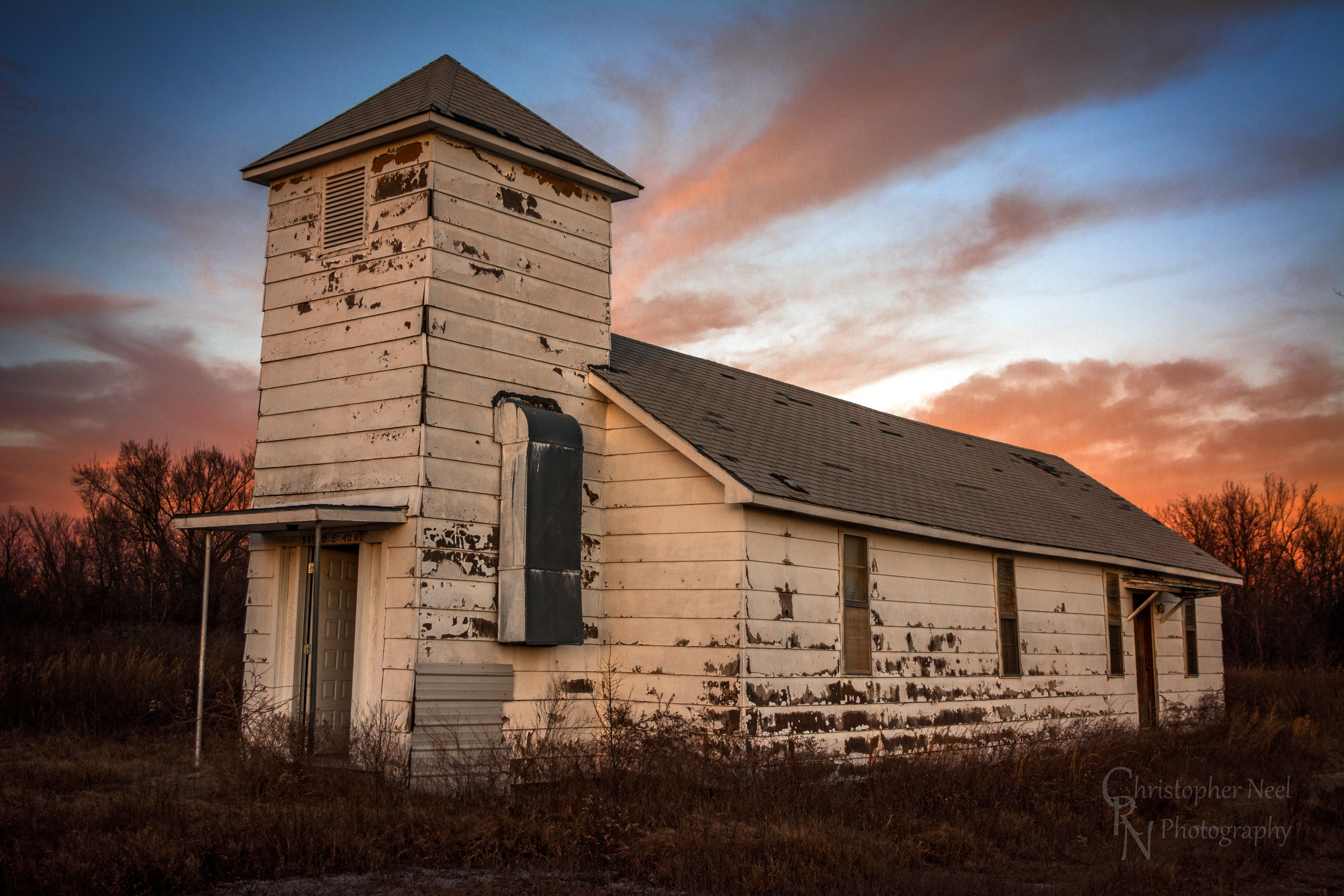
Abandoned Church in Picher, OK - 20150124CRN
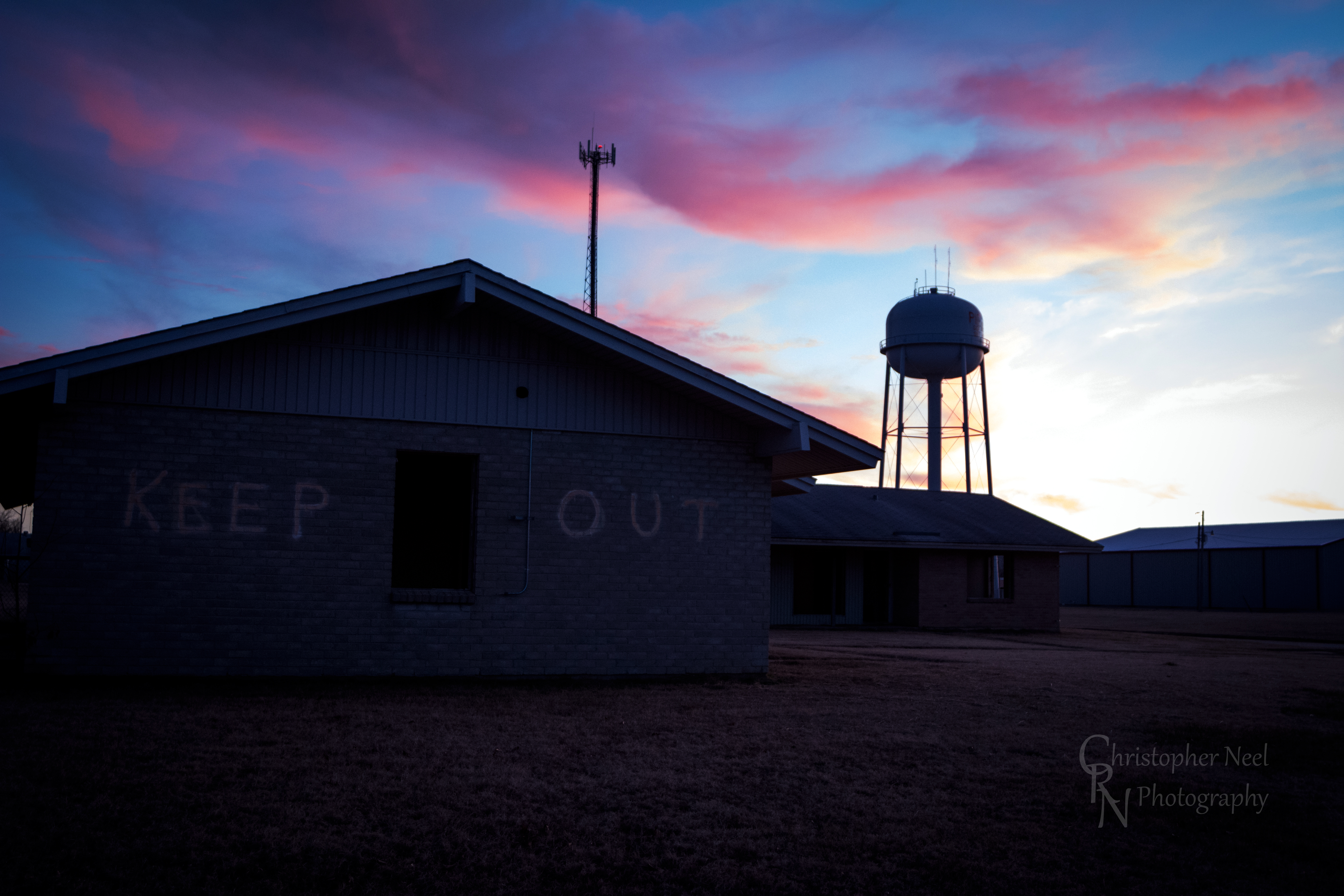
Abandoned Building Keep Out and Sunset in Picher, OK - 20150124CRN

10-06-09 Day 12 - Route 66
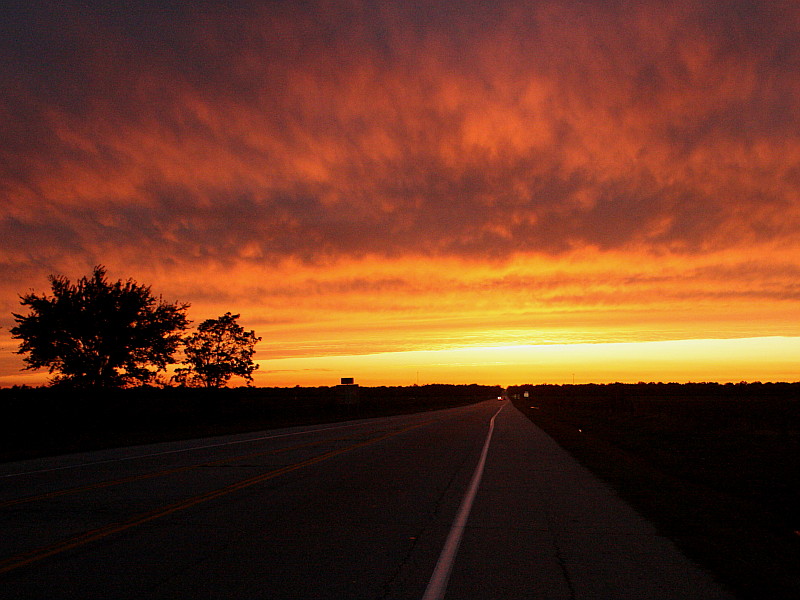
Sunset on Route 66
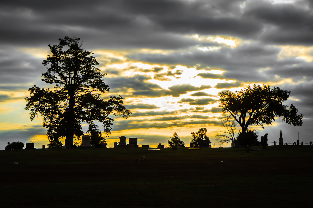
Baxter Springs Cemetery
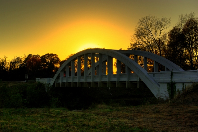
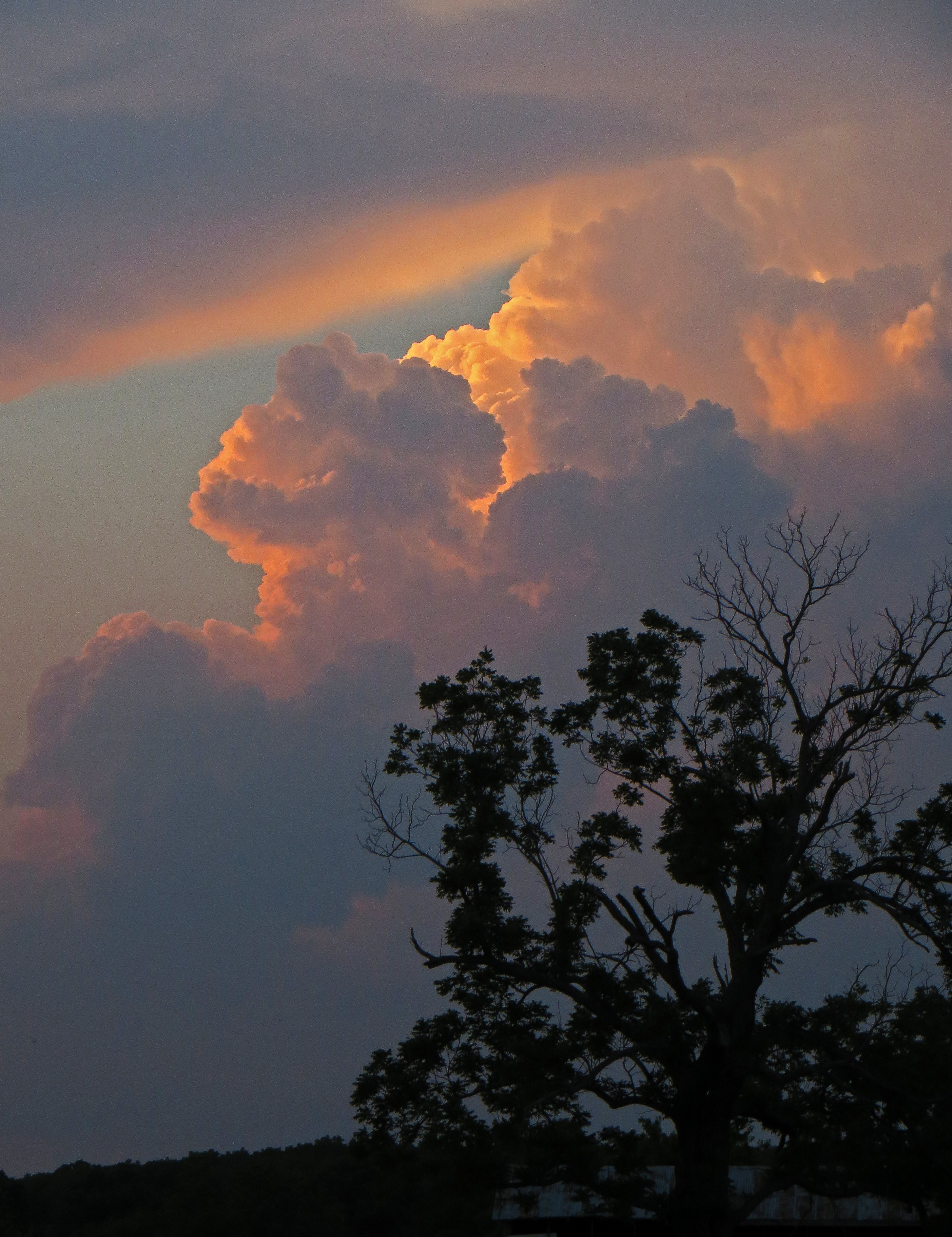
Rainbow Bridge Sunset
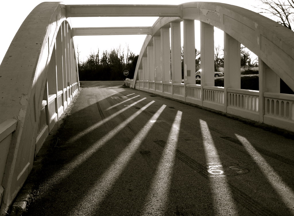
Bridge shadows
The Donut Hole
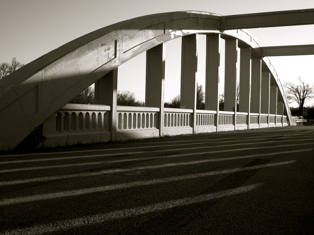
Route 66 Bridge
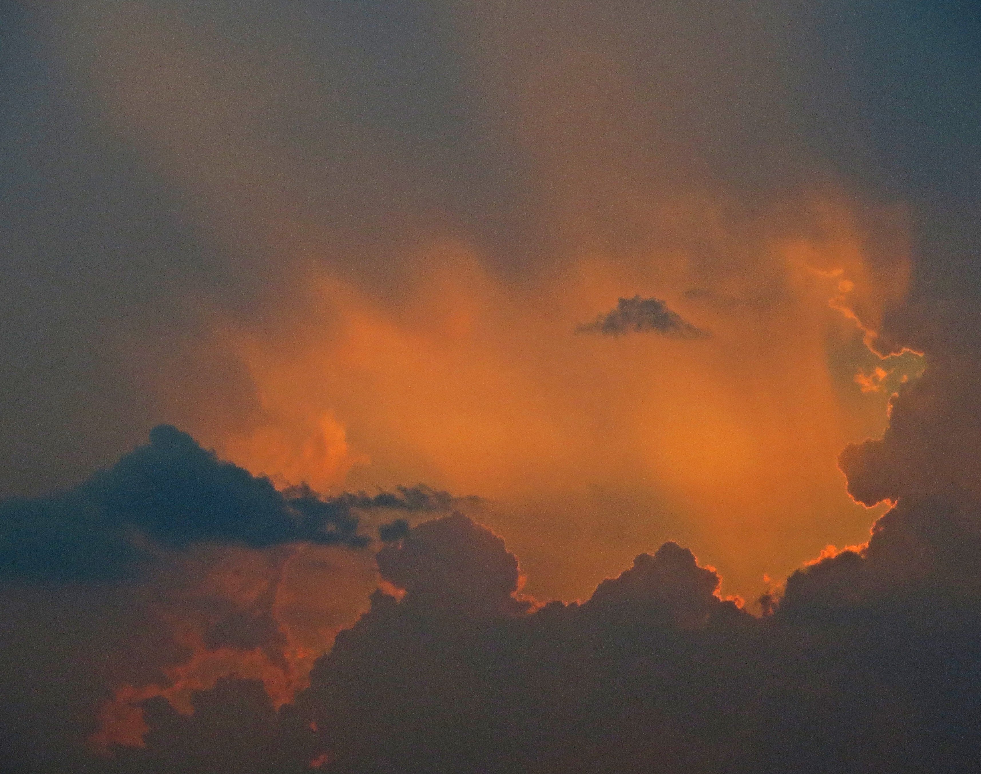
Sunset Clouds

Indian Paintbrush Profile
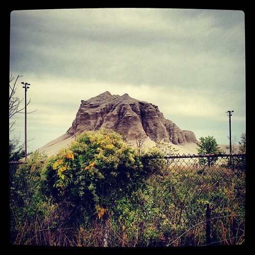
Abandoned 3-2 ballpark & chatpile in Picher, OK, site of the largest toxic waste site in US
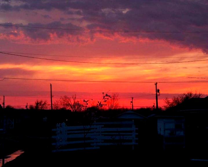
Sky Ablaze

Sudden sunset
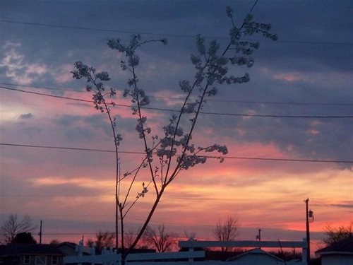
Sudden sunset close
Kiss the Sky
Donut Hole Sunset
Sky Ablaze

10-06-09 Day 12 - Route 66
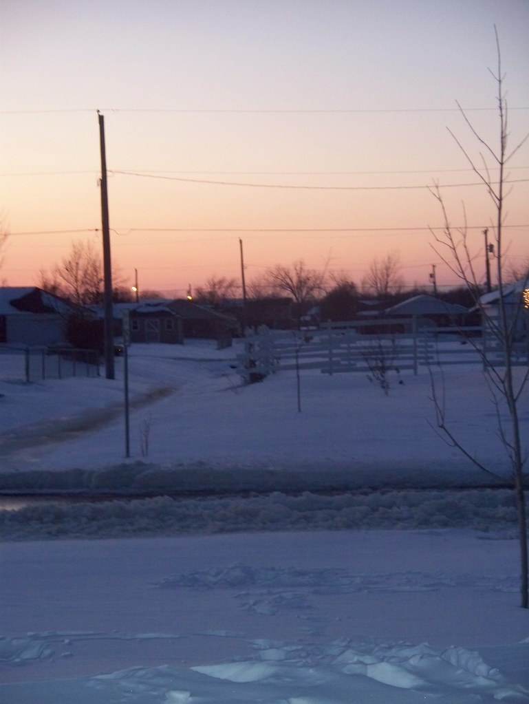
Snow Sunset

10-06-09 Day 12 - Route 66
Sunrise
美国俄克拉何马奎帕的地图
查询其他地方的日出日落时间
附近地点
Virginia St, Quapaw, OK 美国
Hale Irwin Dr, Baxter Springs, KS 美国Baxter Springs Golf & Country Club
W 12th St, Baxter Springs, KS 美国
美国堪萨斯巴克斯特斯普林斯
Commerce St, Commerce, OK 美国
美国俄克拉何马科默斯
美国堪萨斯斯普林瓦利
10 S Treaty Rd, Miami, OK 美国Neo Medical Center: Grotheer Martin H MD
McKinley St, Miami, OK 美国
Eastgate Blvd, Miami, OK 美国
Sky Harbor Dr, Miami, OK 美国Sky Harbor Drive
E Steve Owens Blvd, Miami, OK 美国Days Inn by Wyndham Miami
I St NE, Miami, OK 美国NEO A&M College
E Rd, Miami, OK 美国
5th Ave NE, Miami, OK 美国Playland Lanes
17 G St NE, Miami, OK 美国
N Main St, Miami, OK 美国HK Electric
美国俄克拉何马迈阿密
J St NW, Miami, OK 美国
美国俄克拉何马迈阿密Miami Municipal Pool
最近搜索
- Red Dog Mine, AK, USA的日出日落时间表
- Am bhf, Borken, 德国Am Bahnhof的日出日落时间表
- 4th St E, Sonoma, CA 美国的日出日落时间表
- Oakland Ave, Williamsport, PA 美国的日出日落时间表
- Via Roma, Pieranica CR, Italy的日出日落时间表
- 克罗地亚杜布罗夫尼克 GradClock Tower of Dubrovnik的日出日落时间表
- 阿根廷丘布特省特雷利乌的日出日落时间表
- Hartfords Bluff Cir, Mt Pleasant, SC 美国的日出日落时间表
- 日本熊本县熊本市北区的日出日落时间表
- 中国福州市平潭县平潭岛的日出日落时间表