法国波拉克的日出日落时间表
Location: 意大利 > 法国 > 法国康塔尔 >
时区:
Europe/Paris
当地时间:
2025-07-10 07:31:47
经度:
2.904392
纬度:
45.006613
今天日出时间:
06:12:07 AM
今天日落时间:
09:35:35 PM
今天日照时常:
15h 23m 28s
明天日出时间:
06:12:57 AM
明天日落时间:
09:35:01 PM
明天日照时常:
15h 22m 4s
显示所有日期
| 日期 | 日出 | 日落 | 日照时常 |
|---|---|---|---|
| 2025年01月01日 | 08:26:33 AM | 05:17:59 PM | 8h 51m 26s |
| 2025年01月02日 | 08:26:32 AM | 05:18:56 PM | 8h 52m 24s |
| 2025年01月03日 | 08:26:29 AM | 05:19:54 PM | 8h 53m 25s |
| 2025年01月04日 | 08:26:23 AM | 05:20:54 PM | 8h 54m 31s |
| 2025年01月05日 | 08:26:14 AM | 05:21:56 PM | 8h 55m 42s |
| 2025年01月06日 | 08:26:03 AM | 05:23:00 PM | 8h 56m 57s |
| 2025年01月07日 | 08:25:49 AM | 05:24:05 PM | 8h 58m 16s |
| 2025年01月08日 | 08:25:33 AM | 05:25:11 PM | 8h 59m 38s |
| 2025年01月09日 | 08:25:14 AM | 05:26:20 PM | 9h 1m 6s |
| 2025年01月10日 | 08:24:52 AM | 05:27:29 PM | 9h 2m 37s |
| 2025年01月11日 | 08:24:28 AM | 05:28:40 PM | 9h 4m 12s |
| 2025年01月12日 | 08:24:01 AM | 05:29:52 PM | 9h 5m 51s |
| 2025年01月13日 | 08:23:32 AM | 05:31:06 PM | 9h 7m 34s |
| 2025年01月14日 | 08:23:00 AM | 05:32:21 PM | 9h 9m 21s |
| 2025年01月15日 | 08:22:26 AM | 05:33:36 PM | 9h 11m 10s |
| 2025年01月16日 | 08:21:50 AM | 05:34:53 PM | 9h 13m 3s |
| 2025年01月17日 | 08:21:11 AM | 05:36:11 PM | 9h 15m 0s |
| 2025年01月18日 | 08:20:30 AM | 05:37:30 PM | 9h 17m 0s |
| 2025年01月19日 | 08:19:47 AM | 05:38:49 PM | 9h 19m 2s |
| 2025年01月20日 | 08:19:01 AM | 05:40:10 PM | 9h 21m 9s |
| 2025年01月21日 | 08:18:13 AM | 05:41:31 PM | 9h 23m 18s |
| 2025年01月22日 | 08:17:23 AM | 05:42:52 PM | 9h 25m 29s |
| 2025年01月23日 | 08:16:30 AM | 05:44:15 PM | 9h 27m 45s |
| 2025年01月24日 | 08:15:36 AM | 05:45:38 PM | 9h 30m 2s |
| 2025年01月25日 | 08:14:39 AM | 05:47:01 PM | 9h 32m 22s |
| 2025年01月26日 | 08:13:40 AM | 05:48:25 PM | 9h 34m 45s |
| 2025年01月27日 | 08:12:39 AM | 05:49:49 PM | 9h 37m 10s |
| 2025年01月28日 | 08:11:37 AM | 05:51:14 PM | 9h 39m 37s |
| 2025年01月29日 | 08:10:32 AM | 05:52:39 PM | 9h 42m 7s |
| 2025年01月30日 | 08:09:25 AM | 05:54:04 PM | 9h 44m 39s |
| 2025年01月31日 | 08:08:17 AM | 05:55:30 PM | 9h 47m 13s |
| 2025年02月01日 | 08:07:07 AM | 05:56:55 PM | 9h 49m 48s |
| 2025年02月02日 | 08:05:55 AM | 05:58:21 PM | 9h 52m 26s |
| 2025年02月03日 | 08:04:41 AM | 05:59:47 PM | 9h 55m 6s |
| 2025年02月04日 | 08:03:25 AM | 06:01:13 PM | 9h 57m 48s |
| 2025年02月05日 | 08:02:08 AM | 06:02:39 PM | 10h 0m 31s |
| 2025年02月06日 | 08:00:49 AM | 06:04:06 PM | 10h 3m 17s |
| 2025年02月07日 | 07:59:29 AM | 06:05:32 PM | 10h 6m 3s |
| 2025年02月08日 | 07:58:07 AM | 06:06:58 PM | 10h 8m 51s |
| 2025年02月09日 | 07:56:44 AM | 06:08:24 PM | 10h 11m 40s |
| 2025年02月10日 | 07:55:19 AM | 06:09:50 PM | 10h 14m 31s |
| 2025年02月11日 | 07:53:53 AM | 06:11:15 PM | 10h 17m 22s |
| 2025年02月12日 | 07:52:25 AM | 06:12:41 PM | 10h 20m 16s |
| 2025年02月13日 | 07:50:56 AM | 06:14:06 PM | 10h 23m 10s |
| 2025年02月14日 | 07:49:26 AM | 06:15:32 PM | 10h 26m 6s |
| 2025年02月15日 | 07:47:54 AM | 06:16:57 PM | 10h 29m 3s |
| 2025年02月16日 | 07:46:22 AM | 06:18:22 PM | 10h 32m 0s |
| 2025年02月17日 | 07:44:48 AM | 06:19:46 PM | 10h 34m 58s |
| 2025年02月18日 | 07:43:13 AM | 06:21:11 PM | 10h 37m 58s |
| 2025年02月19日 | 07:41:37 AM | 06:22:35 PM | 10h 40m 58s |
| 2025年02月20日 | 07:39:59 AM | 06:23:59 PM | 10h 44m 0s |
| 2025年02月21日 | 07:38:21 AM | 06:25:23 PM | 10h 47m 2s |
| 2025年02月22日 | 07:36:42 AM | 06:26:46 PM | 10h 50m 4s |
| 2025年02月23日 | 07:35:02 AM | 06:28:09 PM | 10h 53m 7s |
| 2025年02月24日 | 07:33:21 AM | 06:29:32 PM | 10h 56m 11s |
| 2025年02月25日 | 07:31:39 AM | 06:30:55 PM | 10h 59m 16s |
| 2025年02月26日 | 07:29:56 AM | 06:32:17 PM | 11h 2m 21s |
| 2025年02月27日 | 07:28:13 AM | 06:33:39 PM | 11h 5m 26s |
| 2025年02月28日 | 07:26:28 AM | 06:35:01 PM | 11h 8m 33s |
| 2025年03月01日 | 07:24:43 AM | 06:36:22 PM | 11h 11m 39s |
| 2025年03月02日 | 07:22:57 AM | 06:37:43 PM | 11h 14m 46s |
| 2025年03月03日 | 07:21:11 AM | 06:39:04 PM | 11h 17m 53s |
| 2025年03月04日 | 07:19:24 AM | 06:40:25 PM | 11h 21m 1s |
| 2025年03月05日 | 07:17:36 AM | 06:41:45 PM | 11h 24m 9s |
| 2025年03月06日 | 07:15:48 AM | 06:43:05 PM | 11h 27m 17s |
| 2025年03月07日 | 07:13:59 AM | 06:44:25 PM | 11h 30m 26s |
| 2025年03月08日 | 07:12:10 AM | 06:45:45 PM | 11h 33m 35s |
| 2025年03月09日 | 07:10:21 AM | 06:47:04 PM | 11h 36m 43s |
| 2025年03月10日 | 07:08:30 AM | 06:48:23 PM | 11h 39m 53s |
| 2025年03月11日 | 07:06:40 AM | 06:49:42 PM | 11h 43m 2s |
| 2025年03月12日 | 07:04:49 AM | 06:51:00 PM | 11h 46m 11s |
| 2025年03月13日 | 07:02:58 AM | 06:52:19 PM | 11h 49m 21s |
| 2025年03月14日 | 07:01:06 AM | 06:53:37 PM | 11h 52m 31s |
| 2025年03月15日 | 06:59:15 AM | 06:54:55 PM | 11h 55m 40s |
| 2025年03月16日 | 06:57:23 AM | 06:56:13 PM | 11h 58m 50s |
| 2025年03月17日 | 06:55:30 AM | 06:57:30 PM | 12h 2m 0s |
| 2025年03月18日 | 06:53:38 AM | 06:58:48 PM | 12h 5m 10s |
| 2025年03月19日 | 06:51:46 AM | 07:00:05 PM | 12h 8m 19s |
| 2025年03月20日 | 06:49:53 AM | 07:01:22 PM | 12h 11m 29s |
| 2025年03月21日 | 06:48:00 AM | 07:02:39 PM | 12h 14m 39s |
| 2025年03月22日 | 06:46:08 AM | 07:03:56 PM | 12h 17m 48s |
| 2025年03月23日 | 06:44:15 AM | 07:05:13 PM | 12h 20m 58s |
| 2025年03月24日 | 06:42:22 AM | 07:06:29 PM | 12h 24m 7s |
| 2025年03月25日 | 06:40:29 AM | 07:07:46 PM | 12h 27m 17s |
| 2025年03月26日 | 06:38:37 AM | 07:09:02 PM | 12h 30m 25s |
| 2025年03月27日 | 06:36:44 AM | 07:10:18 PM | 12h 33m 34s |
| 2025年03月28日 | 06:34:52 AM | 07:11:35 PM | 12h 36m 43s |
| 2025年03月29日 | 06:33:00 AM | 07:12:51 PM | 12h 39m 51s |
| 2025年03月30日 | 07:31:12 AM | 08:14:04 PM | 12h 42m 52s |
| 2025年03月31日 | 07:29:20 AM | 08:15:20 PM | 12h 46m 0s |
| 2025年04月01日 | 07:27:29 AM | 08:16:36 PM | 12h 49m 7s |
| 2025年04月02日 | 07:25:38 AM | 08:17:52 PM | 12h 52m 14s |
| 2025年04月03日 | 07:23:47 AM | 08:19:08 PM | 12h 55m 21s |
| 2025年04月04日 | 07:21:56 AM | 08:20:24 PM | 12h 58m 28s |
| 2025年04月05日 | 07:20:06 AM | 08:21:39 PM | 13h 1m 33s |
| 2025年04月06日 | 07:18:16 AM | 08:22:55 PM | 13h 4m 39s |
| 2025年04月07日 | 07:16:27 AM | 08:24:11 PM | 13h 7m 44s |
| 2025年04月08日 | 07:14:38 AM | 08:25:27 PM | 13h 10m 49s |
| 2025年04月09日 | 07:12:50 AM | 08:26:43 PM | 13h 13m 53s |
| 2025年04月10日 | 07:11:02 AM | 08:27:59 PM | 13h 16m 57s |
| 2025年04月11日 | 07:09:15 AM | 08:29:15 PM | 13h 20m 0s |
| 2025年04月12日 | 07:07:28 AM | 08:30:30 PM | 13h 23m 2s |
| 2025年04月13日 | 07:05:42 AM | 08:31:46 PM | 13h 26m 4s |
| 2025年04月14日 | 07:03:57 AM | 08:33:02 PM | 13h 29m 5s |
| 2025年04月15日 | 07:02:13 AM | 08:34:18 PM | 13h 32m 5s |
| 2025年04月16日 | 07:00:29 AM | 08:35:34 PM | 13h 35m 5s |
| 2025年04月17日 | 06:58:46 AM | 08:36:50 PM | 13h 38m 4s |
| 2025年04月18日 | 06:57:04 AM | 08:38:05 PM | 13h 41m 1s |
| 2025年04月19日 | 06:55:22 AM | 08:39:21 PM | 13h 43m 59s |
| 2025年04月20日 | 06:53:42 AM | 08:40:37 PM | 13h 46m 55s |
| 2025年04月21日 | 06:52:02 AM | 08:41:52 PM | 13h 49m 50s |
| 2025年04月22日 | 06:50:23 AM | 08:43:08 PM | 13h 52m 45s |
| 2025年04月23日 | 06:48:46 AM | 08:44:24 PM | 13h 55m 38s |
| 2025年04月24日 | 06:47:09 AM | 08:45:39 PM | 13h 58m 30s |
| 2025年04月25日 | 06:45:34 AM | 08:46:55 PM | 14h 1m 21s |
| 2025年04月26日 | 06:43:59 AM | 08:48:10 PM | 14h 4m 11s |
| 2025年04月27日 | 06:42:26 AM | 08:49:25 PM | 14h 6m 59s |
| 2025年04月28日 | 06:40:54 AM | 08:50:40 PM | 14h 9m 46s |
| 2025年04月29日 | 06:39:23 AM | 08:51:55 PM | 14h 12m 32s |
| 2025年04月30日 | 06:37:53 AM | 08:53:10 PM | 14h 15m 17s |
| 2025年05月01日 | 06:36:24 AM | 08:54:24 PM | 14h 18m 0s |
| 2025年05月02日 | 06:34:57 AM | 08:55:38 PM | 14h 20m 41s |
| 2025年05月03日 | 06:33:31 AM | 08:56:52 PM | 14h 23m 21s |
| 2025年05月04日 | 06:32:07 AM | 08:58:06 PM | 14h 25m 59s |
| 2025年05月05日 | 06:30:44 AM | 08:59:20 PM | 14h 28m 36s |
| 2025年05月06日 | 06:29:22 AM | 09:00:33 PM | 14h 31m 11s |
| 2025年05月07日 | 06:28:02 AM | 09:01:46 PM | 14h 33m 44s |
| 2025年05月08日 | 06:26:43 AM | 09:02:58 PM | 14h 36m 15s |
| 2025年05月09日 | 06:25:26 AM | 09:04:10 PM | 14h 38m 44s |
| 2025年05月10日 | 06:24:11 AM | 09:05:22 PM | 14h 41m 11s |
| 2025年05月11日 | 06:22:57 AM | 09:06:33 PM | 14h 43m 36s |
| 2025年05月12日 | 06:21:45 AM | 09:07:43 PM | 14h 45m 58s |
| 2025年05月13日 | 06:20:35 AM | 09:08:53 PM | 14h 48m 18s |
| 2025年05月14日 | 06:19:26 AM | 09:10:02 PM | 14h 50m 36s |
| 2025年05月15日 | 06:18:19 AM | 09:11:11 PM | 14h 52m 52s |
| 2025年05月16日 | 06:17:14 AM | 09:12:19 PM | 14h 55m 5s |
| 2025年05月17日 | 06:16:11 AM | 09:13:27 PM | 14h 57m 16s |
| 2025年05月18日 | 06:15:09 AM | 09:14:33 PM | 14h 59m 24s |
| 2025年05月19日 | 06:14:10 AM | 09:15:39 PM | 15h 1m 29s |
| 2025年05月20日 | 06:13:12 AM | 09:16:44 PM | 15h 3m 32s |
| 2025年05月21日 | 06:12:17 AM | 09:17:48 PM | 15h 5m 31s |
| 2025年05月22日 | 06:11:23 AM | 09:18:51 PM | 15h 7m 28s |
| 2025年05月23日 | 06:10:31 AM | 09:19:53 PM | 15h 9m 22s |
| 2025年05月24日 | 06:09:42 AM | 09:20:54 PM | 15h 11m 12s |
| 2025年05月25日 | 06:08:55 AM | 09:21:53 PM | 15h 12m 58s |
| 2025年05月26日 | 06:08:09 AM | 09:22:52 PM | 15h 14m 43s |
| 2025年05月27日 | 06:07:26 AM | 09:23:50 PM | 15h 16m 24s |
| 2025年05月28日 | 06:06:45 AM | 09:24:46 PM | 15h 18m 1s |
| 2025年05月29日 | 06:06:06 AM | 09:25:41 PM | 15h 19m 35s |
| 2025年05月30日 | 06:05:30 AM | 09:26:34 PM | 15h 21m 4s |
| 2025年05月31日 | 06:04:56 AM | 09:27:27 PM | 15h 22m 31s |
| 2025年06月01日 | 06:04:23 AM | 09:28:17 PM | 15h 23m 54s |
| 2025年06月02日 | 06:03:54 AM | 09:29:07 PM | 15h 25m 13s |
| 2025年06月03日 | 06:03:26 AM | 09:29:54 PM | 15h 26m 28s |
| 2025年06月04日 | 06:03:01 AM | 09:30:40 PM | 15h 27m 39s |
| 2025年06月05日 | 06:02:38 AM | 09:31:25 PM | 15h 28m 47s |
| 2025年06月06日 | 06:02:17 AM | 09:32:08 PM | 15h 29m 51s |
| 2025年06月07日 | 06:01:59 AM | 09:32:49 PM | 15h 30m 50s |
| 2025年06月08日 | 06:01:43 AM | 09:33:28 PM | 15h 31m 45s |
| 2025年06月09日 | 06:01:29 AM | 09:34:05 PM | 15h 32m 36s |
| 2025年06月10日 | 06:01:18 AM | 09:34:41 PM | 15h 33m 23s |
| 2025年06月11日 | 06:01:09 AM | 09:35:14 PM | 15h 34m 5s |
| 2025年06月12日 | 06:01:02 AM | 09:35:46 PM | 15h 34m 44s |
| 2025年06月13日 | 06:00:58 AM | 09:36:15 PM | 15h 35m 17s |
| 2025年06月14日 | 06:00:56 AM | 09:36:43 PM | 15h 35m 47s |
| 2025年06月15日 | 06:00:56 AM | 09:37:09 PM | 15h 36m 13s |
| 2025年06月16日 | 06:00:58 AM | 09:37:32 PM | 15h 36m 34s |
| 2025年06月17日 | 06:01:03 AM | 09:37:53 PM | 15h 36m 50s |
| 2025年06月18日 | 06:01:10 AM | 09:38:12 PM | 15h 37m 2s |
| 2025年06月19日 | 06:01:20 AM | 09:38:29 PM | 15h 37m 9s |
| 2025年06月20日 | 06:01:31 AM | 09:38:44 PM | 15h 37m 13s |
| 2025年06月21日 | 06:01:45 AM | 09:38:56 PM | 15h 37m 11s |
| 2025年06月22日 | 06:02:01 AM | 09:39:06 PM | 15h 37m 5s |
| 2025年06月23日 | 06:02:19 AM | 09:39:14 PM | 15h 36m 55s |
| 2025年06月24日 | 06:02:39 AM | 09:39:19 PM | 15h 36m 40s |
| 2025年06月25日 | 06:03:01 AM | 09:39:23 PM | 15h 36m 22s |
| 2025年06月26日 | 06:03:26 AM | 09:39:23 PM | 15h 35m 57s |
| 2025年06月27日 | 06:03:52 AM | 09:39:22 PM | 15h 35m 30s |
| 2025年06月28日 | 06:04:20 AM | 09:39:18 PM | 15h 34m 58s |
| 2025年06月29日 | 06:04:51 AM | 09:39:12 PM | 15h 34m 21s |
| 2025年06月30日 | 06:05:23 AM | 09:39:03 PM | 15h 33m 40s |
| 2025年07月01日 | 06:05:57 AM | 09:38:52 PM | 15h 32m 55s |
| 2025年07月02日 | 06:06:33 AM | 09:38:39 PM | 15h 32m 6s |
| 2025年07月03日 | 06:07:10 AM | 09:38:23 PM | 15h 31m 13s |
| 2025年07月04日 | 06:07:50 AM | 09:38:05 PM | 15h 30m 15s |
| 2025年07月05日 | 06:08:31 AM | 09:37:44 PM | 15h 29m 13s |
| 2025年07月06日 | 06:09:13 AM | 09:37:21 PM | 15h 28m 8s |
| 2025年07月07日 | 06:09:57 AM | 09:36:56 PM | 15h 26m 59s |
| 2025年07月08日 | 06:10:43 AM | 09:36:29 PM | 15h 25m 46s |
| 2025年07月09日 | 06:11:30 AM | 09:35:59 PM | 15h 24m 29s |
| 2025年07月10日 | 06:12:19 AM | 09:35:27 PM | 15h 23m 8s |
| 2025年07月11日 | 06:13:09 AM | 09:34:52 PM | 15h 21m 43s |
| 2025年07月12日 | 06:14:01 AM | 09:34:16 PM | 15h 20m 15s |
| 2025年07月13日 | 06:14:53 AM | 09:33:37 PM | 15h 18m 44s |
| 2025年07月14日 | 06:15:47 AM | 09:32:55 PM | 15h 17m 8s |
| 2025年07月15日 | 06:16:42 AM | 09:32:12 PM | 15h 15m 30s |
| 2025年07月16日 | 06:17:39 AM | 09:31:27 PM | 15h 13m 48s |
| 2025年07月17日 | 06:18:36 AM | 09:30:39 PM | 15h 12m 3s |
| 2025年07月18日 | 06:19:34 AM | 09:29:49 PM | 15h 10m 15s |
| 2025年07月19日 | 06:20:34 AM | 09:28:57 PM | 15h 8m 23s |
| 2025年07月20日 | 06:21:34 AM | 09:28:03 PM | 15h 6m 29s |
| 2025年07月21日 | 06:22:35 AM | 09:27:07 PM | 15h 4m 32s |
| 2025年07月22日 | 06:23:38 AM | 09:26:10 PM | 15h 2m 32s |
| 2025年07月23日 | 06:24:40 AM | 09:25:10 PM | 15h 0m 30s |
| 2025年07月24日 | 06:25:44 AM | 09:24:08 PM | 14h 58m 24s |
| 2025年07月25日 | 06:26:48 AM | 09:23:04 PM | 14h 56m 16s |
| 2025年07月26日 | 06:27:53 AM | 09:21:58 PM | 14h 54m 5s |
| 2025年07月27日 | 06:28:59 AM | 09:20:51 PM | 14h 51m 52s |
| 2025年07月28日 | 06:30:05 AM | 09:19:42 PM | 14h 49m 37s |
| 2025年07月29日 | 06:31:12 AM | 09:18:31 PM | 14h 47m 19s |
| 2025年07月30日 | 06:32:19 AM | 09:17:18 PM | 14h 44m 59s |
| 2025年07月31日 | 06:33:27 AM | 09:16:04 PM | 14h 42m 37s |
| 2025年08月01日 | 06:34:35 AM | 09:14:48 PM | 14h 40m 13s |
| 2025年08月02日 | 06:35:44 AM | 09:13:30 PM | 14h 37m 46s |
| 2025年08月03日 | 06:36:53 AM | 09:12:11 PM | 14h 35m 18s |
| 2025年08月04日 | 06:38:02 AM | 09:10:50 PM | 14h 32m 48s |
| 2025年08月05日 | 06:39:12 AM | 09:09:27 PM | 14h 30m 15s |
| 2025年08月06日 | 06:40:22 AM | 09:08:04 PM | 14h 27m 42s |
| 2025年08月07日 | 06:41:32 AM | 09:06:38 PM | 14h 25m 6s |
| 2025年08月08日 | 06:42:42 AM | 09:05:12 PM | 14h 22m 30s |
| 2025年08月09日 | 06:43:53 AM | 09:03:44 PM | 14h 19m 51s |
| 2025年08月10日 | 06:45:04 AM | 09:02:14 PM | 14h 17m 10s |
| 2025年08月11日 | 06:46:15 AM | 09:00:44 PM | 14h 14m 29s |
| 2025年08月12日 | 06:47:26 AM | 08:59:12 PM | 14h 11m 46s |
| 2025年08月13日 | 06:48:37 AM | 08:57:39 PM | 14h 9m 2s |
| 2025年08月14日 | 06:49:48 AM | 08:56:05 PM | 14h 6m 17s |
| 2025年08月15日 | 06:51:00 AM | 08:54:29 PM | 14h 3m 29s |
| 2025年08月16日 | 06:52:11 AM | 08:52:53 PM | 14h 0m 42s |
| 2025年08月17日 | 06:53:23 AM | 08:51:15 PM | 13h 57m 52s |
| 2025年08月18日 | 06:54:34 AM | 08:49:37 PM | 13h 55m 3s |
| 2025年08月19日 | 06:55:46 AM | 08:47:57 PM | 13h 52m 11s |
| 2025年08月20日 | 06:56:57 AM | 08:46:16 PM | 13h 49m 19s |
| 2025年08月21日 | 06:58:09 AM | 08:44:35 PM | 13h 46m 26s |
| 2025年08月22日 | 06:59:20 AM | 08:42:52 PM | 13h 43m 32s |
| 2025年08月23日 | 07:00:32 AM | 08:41:09 PM | 13h 40m 37s |
| 2025年08月24日 | 07:01:43 AM | 08:39:25 PM | 13h 37m 42s |
| 2025年08月25日 | 07:02:55 AM | 08:37:40 PM | 13h 34m 45s |
| 2025年08月26日 | 07:04:06 AM | 08:35:54 PM | 13h 31m 48s |
| 2025年08月27日 | 07:05:18 AM | 08:34:08 PM | 13h 28m 50s |
| 2025年08月28日 | 07:06:29 AM | 08:32:21 PM | 13h 25m 52s |
| 2025年08月29日 | 07:07:41 AM | 08:30:33 PM | 13h 22m 52s |
| 2025年08月30日 | 07:08:52 AM | 08:28:44 PM | 13h 19m 52s |
| 2025年08月31日 | 07:10:03 AM | 08:26:55 PM | 13h 16m 52s |
| 2025年09月01日 | 07:11:15 AM | 08:25:06 PM | 13h 13m 51s |
| 2025年09月02日 | 07:12:26 AM | 08:23:15 PM | 13h 10m 49s |
| 2025年09月03日 | 07:13:37 AM | 08:21:25 PM | 13h 7m 48s |
| 2025年09月04日 | 07:14:49 AM | 08:19:34 PM | 13h 4m 45s |
| 2025年09月05日 | 07:16:00 AM | 08:17:42 PM | 13h 1m 42s |
| 2025年09月06日 | 07:17:11 AM | 08:15:50 PM | 12h 58m 39s |
| 2025年09月07日 | 07:18:22 AM | 08:13:58 PM | 12h 55m 36s |
| 2025年09月08日 | 07:19:34 AM | 08:12:05 PM | 12h 52m 31s |
| 2025年09月09日 | 07:20:45 AM | 08:10:12 PM | 12h 49m 27s |
| 2025年09月10日 | 07:21:56 AM | 08:08:18 PM | 12h 46m 22s |
| 2025年09月11日 | 07:23:08 AM | 08:06:25 PM | 12h 43m 17s |
| 2025年09月12日 | 07:24:19 AM | 08:04:31 PM | 12h 40m 12s |
| 2025年09月13日 | 07:25:30 AM | 08:02:37 PM | 12h 37m 7s |
| 2025年09月14日 | 07:26:42 AM | 08:00:42 PM | 12h 34m 0s |
| 2025年09月15日 | 07:27:53 AM | 07:58:48 PM | 12h 30m 55s |
| 2025年09月16日 | 07:29:05 AM | 07:56:54 PM | 12h 27m 49s |
| 2025年09月17日 | 07:30:17 AM | 07:54:59 PM | 12h 24m 42s |
| 2025年09月18日 | 07:31:28 AM | 07:53:04 PM | 12h 21m 36s |
| 2025年09月19日 | 07:32:40 AM | 07:51:10 PM | 12h 18m 30s |
| 2025年09月20日 | 07:33:52 AM | 07:49:15 PM | 12h 15m 23s |
| 2025年09月21日 | 07:35:04 AM | 07:47:20 PM | 12h 12m 16s |
| 2025年09月22日 | 07:36:17 AM | 07:45:26 PM | 12h 9m 9s |
| 2025年09月23日 | 07:37:29 AM | 07:43:31 PM | 12h 6m 2s |
| 2025年09月24日 | 07:38:42 AM | 07:41:37 PM | 12h 2m 55s |
| 2025年09月25日 | 07:39:54 AM | 07:39:43 PM | 11h 59m 49s |
| 2025年09月26日 | 07:41:07 AM | 07:37:49 PM | 11h 56m 42s |
| 2025年09月27日 | 07:42:20 AM | 07:35:55 PM | 11h 53m 35s |
| 2025年09月28日 | 07:43:34 AM | 07:34:02 PM | 11h 50m 28s |
| 2025年09月29日 | 07:44:47 AM | 07:32:08 PM | 11h 47m 21s |
| 2025年09月30日 | 07:46:01 AM | 07:30:16 PM | 11h 44m 15s |
| 2025年10月01日 | 07:47:15 AM | 07:28:23 PM | 11h 41m 8s |
| 2025年10月02日 | 07:48:29 AM | 07:26:31 PM | 11h 38m 2s |
| 2025年10月03日 | 07:49:44 AM | 07:24:39 PM | 11h 34m 55s |
| 2025年10月04日 | 07:50:58 AM | 07:22:48 PM | 11h 31m 50s |
| 2025年10月05日 | 07:52:13 AM | 07:20:57 PM | 11h 28m 44s |
| 2025年10月06日 | 07:53:29 AM | 07:19:07 PM | 11h 25m 38s |
| 2025年10月07日 | 07:54:44 AM | 07:17:17 PM | 11h 22m 33s |
| 2025年10月08日 | 07:56:00 AM | 07:15:28 PM | 11h 19m 28s |
| 2025年10月09日 | 07:57:16 AM | 07:13:39 PM | 11h 16m 23s |
| 2025年10月10日 | 07:58:32 AM | 07:11:51 PM | 11h 13m 19s |
| 2025年10月11日 | 07:59:49 AM | 07:10:04 PM | 11h 10m 15s |
| 2025年10月12日 | 08:01:06 AM | 07:08:17 PM | 11h 7m 11s |
| 2025年10月13日 | 08:02:23 AM | 07:06:31 PM | 11h 4m 8s |
| 2025年10月14日 | 08:03:41 AM | 07:04:46 PM | 11h 1m 5s |
| 2025年10月15日 | 08:04:59 AM | 07:03:02 PM | 10h 58m 3s |
| 2025年10月16日 | 08:06:17 AM | 07:01:18 PM | 10h 55m 1s |
| 2025年10月17日 | 08:07:35 AM | 06:59:35 PM | 10h 52m 0s |
| 2025年10月18日 | 08:08:54 AM | 06:57:54 PM | 10h 49m 0s |
| 2025年10月19日 | 08:10:13 AM | 06:56:13 PM | 10h 46m 0s |
| 2025年10月20日 | 08:11:33 AM | 06:54:33 PM | 10h 43m 0s |
| 2025年10月21日 | 08:12:53 AM | 06:52:55 PM | 10h 40m 2s |
| 2025年10月22日 | 08:14:13 AM | 06:51:17 PM | 10h 37m 4s |
| 2025年10月23日 | 08:15:33 AM | 06:49:40 PM | 10h 34m 7s |
| 2025年10月24日 | 08:16:53 AM | 06:48:05 PM | 10h 31m 12s |
| 2025年10月25日 | 08:18:14 AM | 06:46:31 PM | 10h 28m 17s |
| 2025年10月26日 | 07:19:39 AM | 05:44:54 PM | 10h 25m 15s |
| 2025年10月27日 | 07:21:00 AM | 05:43:22 PM | 10h 22m 22s |
| 2025年10月28日 | 07:22:21 AM | 05:41:52 PM | 10h 19m 31s |
| 2025年10月29日 | 07:23:43 AM | 05:40:22 PM | 10h 16m 39s |
| 2025年10月30日 | 07:25:05 AM | 05:38:55 PM | 10h 13m 50s |
| 2025年10月31日 | 07:26:27 AM | 05:37:28 PM | 10h 11m 1s |
| 2025年11月01日 | 07:27:49 AM | 05:36:04 PM | 10h 8m 15s |
| 2025年11月02日 | 07:29:12 AM | 05:34:40 PM | 10h 5m 28s |
| 2025年11月03日 | 07:30:34 AM | 05:33:18 PM | 10h 2m 44s |
| 2025年11月04日 | 07:31:56 AM | 05:31:58 PM | 10h 0m 2s |
| 2025年11月05日 | 07:33:19 AM | 05:30:39 PM | 9h 57m 20s |
| 2025年11月06日 | 07:34:42 AM | 05:29:22 PM | 9h 54m 40s |
| 2025年11月07日 | 07:36:04 AM | 05:28:07 PM | 9h 52m 3s |
| 2025年11月08日 | 07:37:26 AM | 05:26:54 PM | 9h 49m 28s |
| 2025年11月09日 | 07:38:49 AM | 05:25:42 PM | 9h 46m 53s |
| 2025年11月10日 | 07:40:11 AM | 05:24:32 PM | 9h 44m 21s |
| 2025年11月11日 | 07:41:33 AM | 05:23:24 PM | 9h 41m 51s |
| 2025年11月12日 | 07:42:55 AM | 05:22:18 PM | 9h 39m 23s |
| 2025年11月13日 | 07:44:17 AM | 05:21:14 PM | 9h 36m 57s |
| 2025年11月14日 | 07:45:38 AM | 05:20:11 PM | 9h 34m 33s |
| 2025年11月15日 | 07:46:59 AM | 05:19:11 PM | 9h 32m 12s |
| 2025年11月16日 | 07:48:19 AM | 05:18:13 PM | 9h 29m 54s |
| 2025年11月17日 | 07:49:40 AM | 05:17:17 PM | 9h 27m 37s |
| 2025年11月18日 | 07:50:59 AM | 05:16:23 PM | 9h 25m 24s |
| 2025年11月19日 | 07:52:18 AM | 05:15:31 PM | 9h 23m 13s |
| 2025年11月20日 | 07:53:37 AM | 05:14:42 PM | 9h 21m 5s |
| 2025年11月21日 | 07:54:55 AM | 05:13:55 PM | 9h 19m 0s |
| 2025年11月22日 | 07:56:12 AM | 05:13:10 PM | 9h 16m 58s |
| 2025年11月23日 | 07:57:28 AM | 05:12:27 PM | 9h 14m 59s |
| 2025年11月24日 | 07:58:44 AM | 05:11:47 PM | 9h 13m 3s |
| 2025年11月25日 | 07:59:58 AM | 05:11:09 PM | 9h 11m 11s |
| 2025年11月26日 | 08:01:12 AM | 05:10:34 PM | 9h 9m 22s |
| 2025年11月27日 | 08:02:25 AM | 05:10:01 PM | 9h 7m 36s |
| 2025年11月28日 | 08:03:36 AM | 05:09:31 PM | 9h 5m 55s |
| 2025年11月29日 | 08:04:47 AM | 05:09:03 PM | 9h 4m 16s |
| 2025年11月30日 | 08:05:56 AM | 05:08:37 PM | 9h 2m 41s |
| 2025年12月01日 | 08:07:04 AM | 05:08:14 PM | 9h 1m 10s |
| 2025年12月02日 | 08:08:11 AM | 05:07:54 PM | 8h 59m 43s |
| 2025年12月03日 | 08:09:16 AM | 05:07:37 PM | 8h 58m 21s |
| 2025年12月04日 | 08:10:20 AM | 05:07:21 PM | 8h 57m 1s |
| 2025年12月05日 | 08:11:23 AM | 05:07:09 PM | 8h 55m 46s |
| 2025年12月06日 | 08:12:23 AM | 05:06:59 PM | 8h 54m 36s |
| 2025年12月07日 | 08:13:22 AM | 05:06:52 PM | 8h 53m 30s |
| 2025年12月08日 | 08:14:20 AM | 05:06:48 PM | 8h 52m 28s |
| 2025年12月09日 | 08:15:16 AM | 05:06:46 PM | 8h 51m 30s |
| 2025年12月10日 | 08:16:09 AM | 05:06:47 PM | 8h 50m 38s |
| 2025年12月11日 | 08:17:01 AM | 05:06:50 PM | 8h 49m 49s |
| 2025年12月12日 | 08:17:51 AM | 05:06:56 PM | 8h 49m 5s |
| 2025年12月13日 | 08:18:39 AM | 05:07:05 PM | 8h 48m 26s |
| 2025年12月14日 | 08:19:25 AM | 05:07:17 PM | 8h 47m 52s |
| 2025年12月15日 | 08:20:09 AM | 05:07:31 PM | 8h 47m 22s |
| 2025年12月16日 | 08:20:51 AM | 05:07:47 PM | 8h 46m 56s |
| 2025年12月17日 | 08:21:30 AM | 05:08:07 PM | 8h 46m 37s |
| 2025年12月18日 | 08:22:07 AM | 05:08:28 PM | 8h 46m 21s |
| 2025年12月19日 | 08:22:42 AM | 05:08:53 PM | 8h 46m 11s |
| 2025年12月20日 | 08:23:15 AM | 05:09:20 PM | 8h 46m 5s |
| 2025年12月21日 | 08:23:45 AM | 05:09:49 PM | 8h 46m 4s |
| 2025年12月22日 | 08:24:13 AM | 05:10:21 PM | 8h 46m 8s |
| 2025年12月23日 | 08:24:38 AM | 05:10:55 PM | 8h 46m 17s |
| 2025年12月24日 | 08:25:01 AM | 05:11:32 PM | 8h 46m 31s |
| 2025年12月25日 | 08:25:22 AM | 05:12:11 PM | 8h 46m 49s |
| 2025年12月26日 | 08:25:40 AM | 05:12:52 PM | 8h 47m 12s |
| 2025年12月27日 | 08:25:55 AM | 05:13:36 PM | 8h 47m 41s |
| 2025年12月28日 | 08:26:08 AM | 05:14:22 PM | 8h 48m 14s |
| 2025年12月29日 | 08:26:18 AM | 05:15:10 PM | 8h 48m 52s |
| 2025年12月30日 | 08:26:26 AM | 05:16:00 PM | 8h 49m 34s |
| 2025年12月31日 | 08:26:31 AM | 05:16:52 PM | 8h 50m 21s |
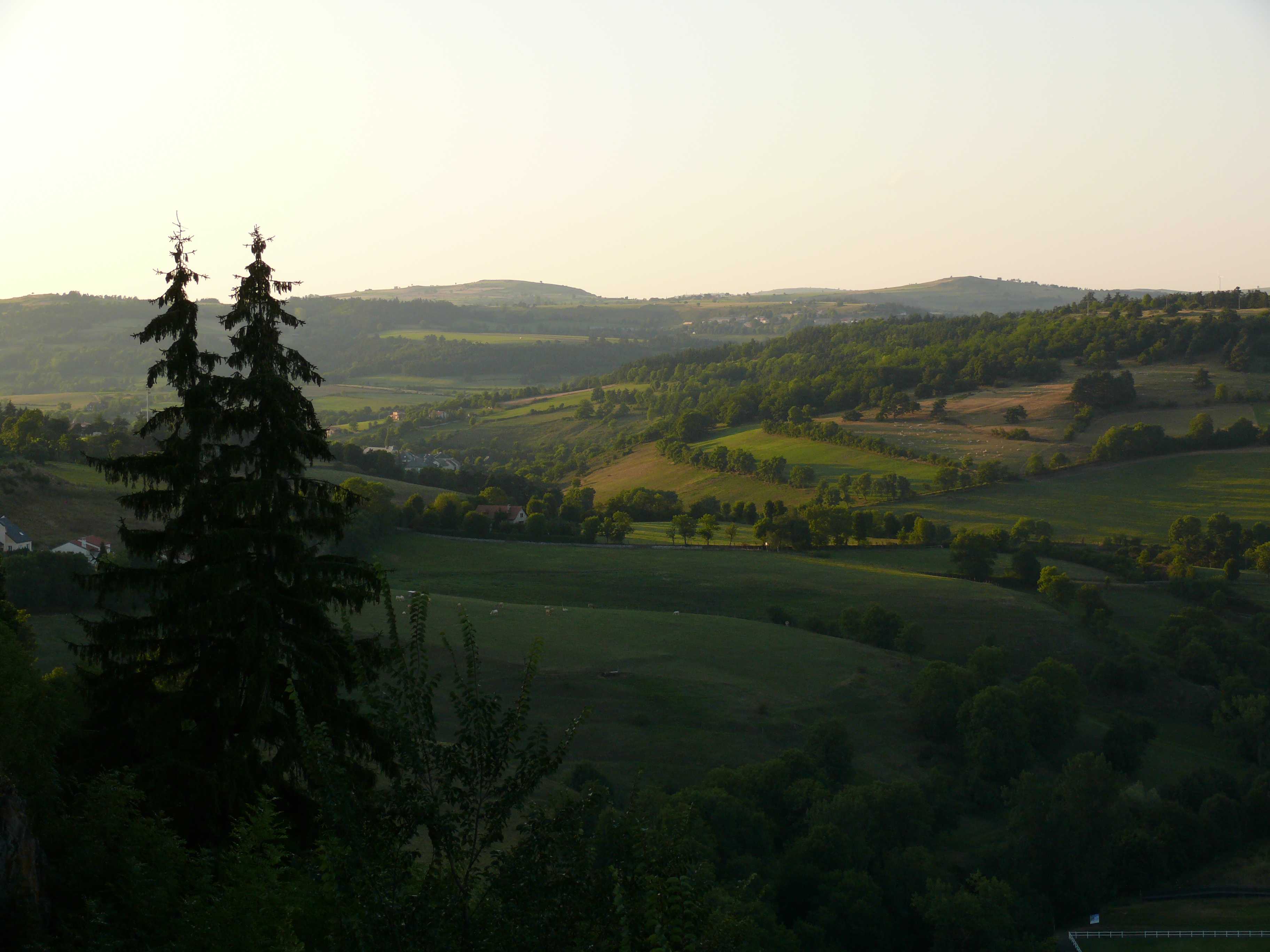
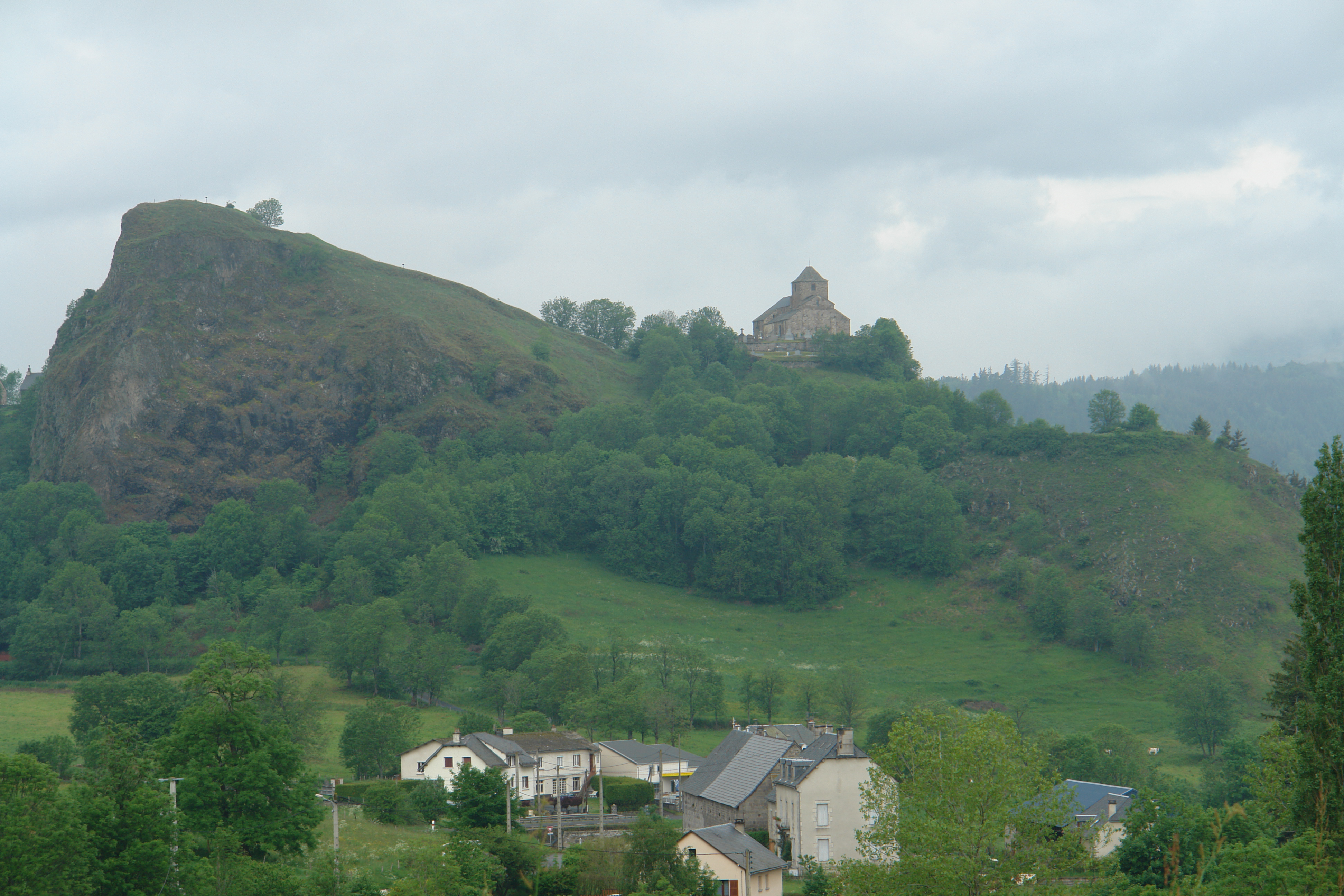
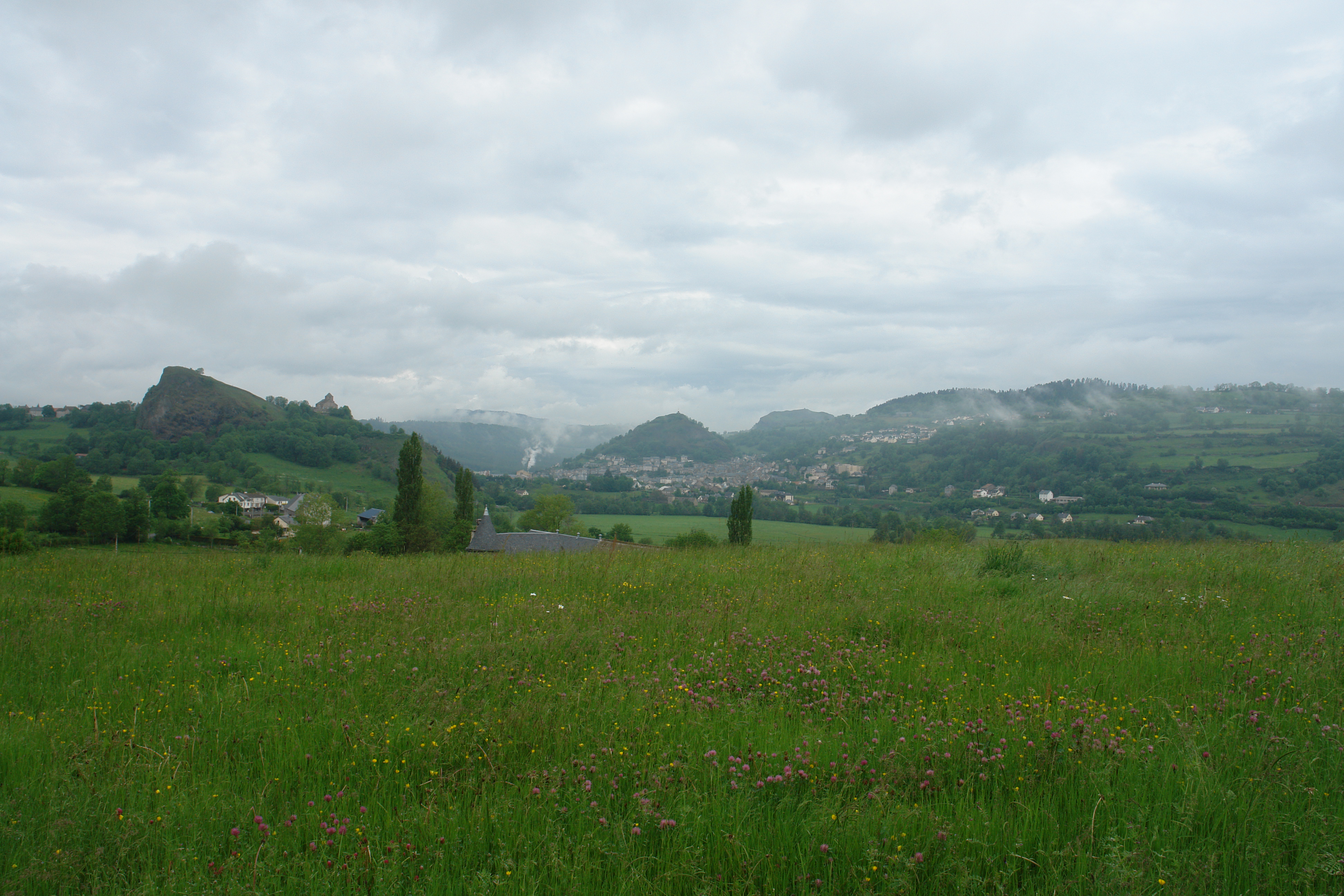
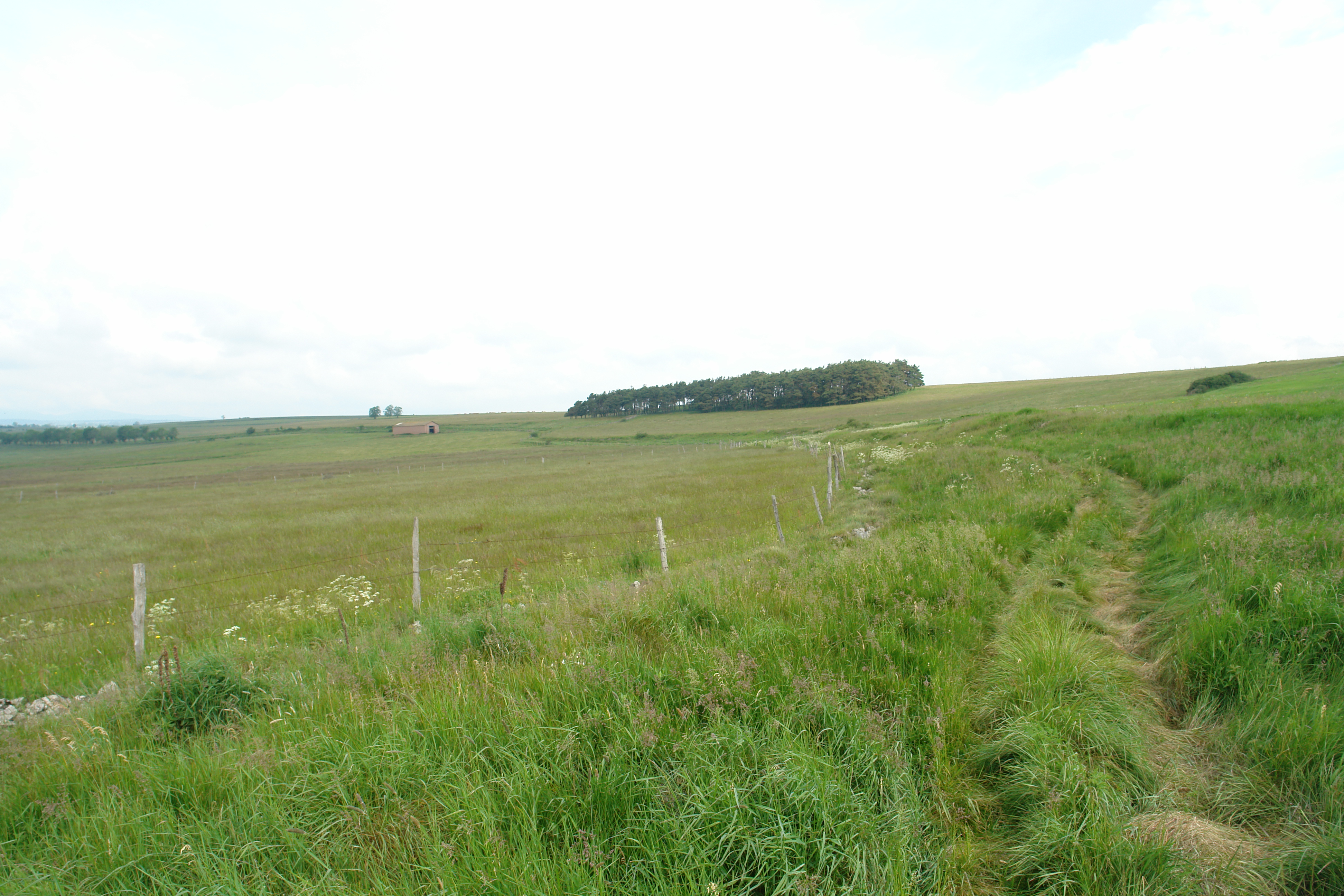
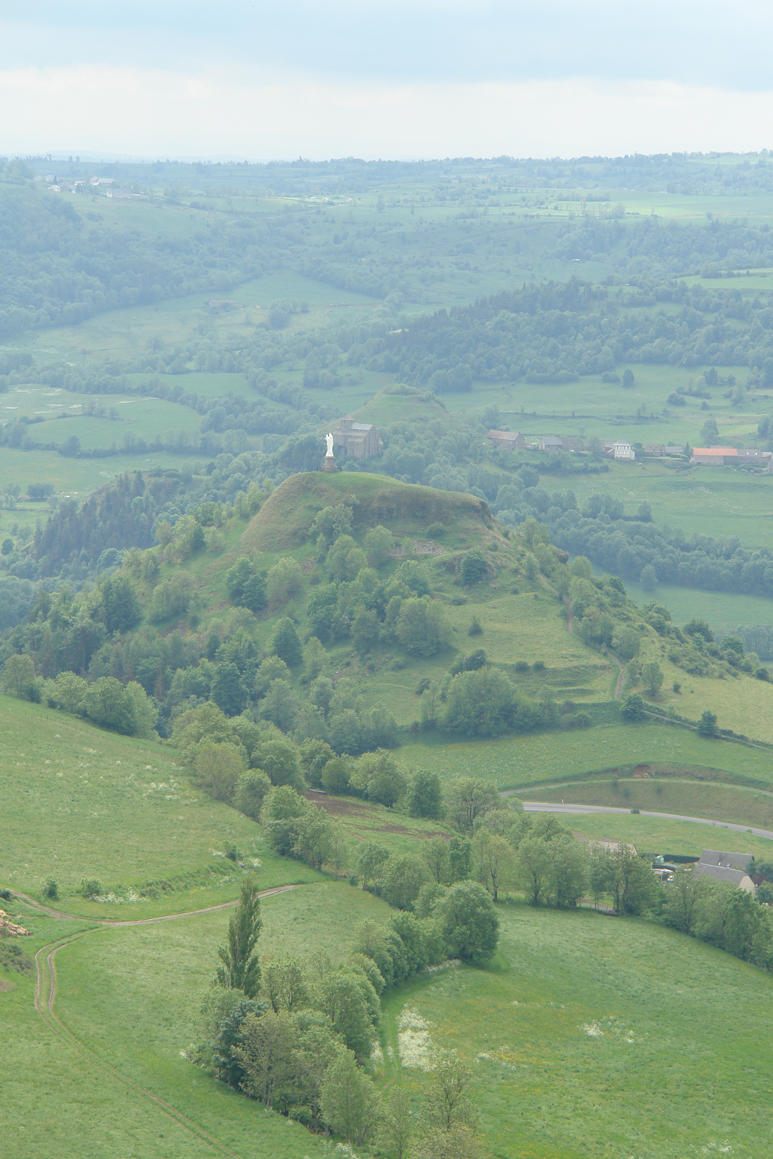
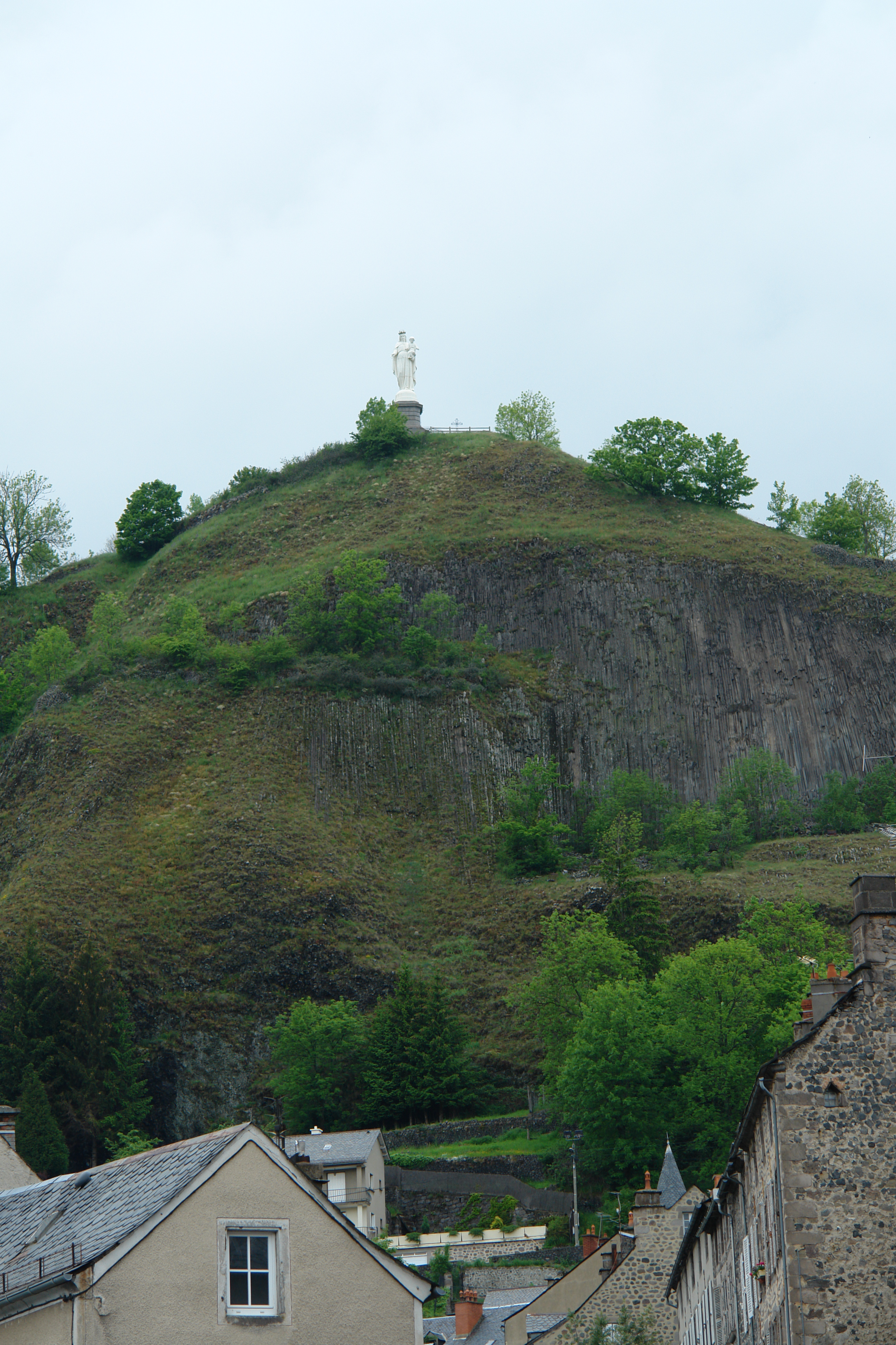
日出日落照片
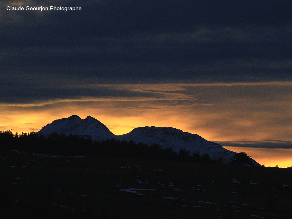
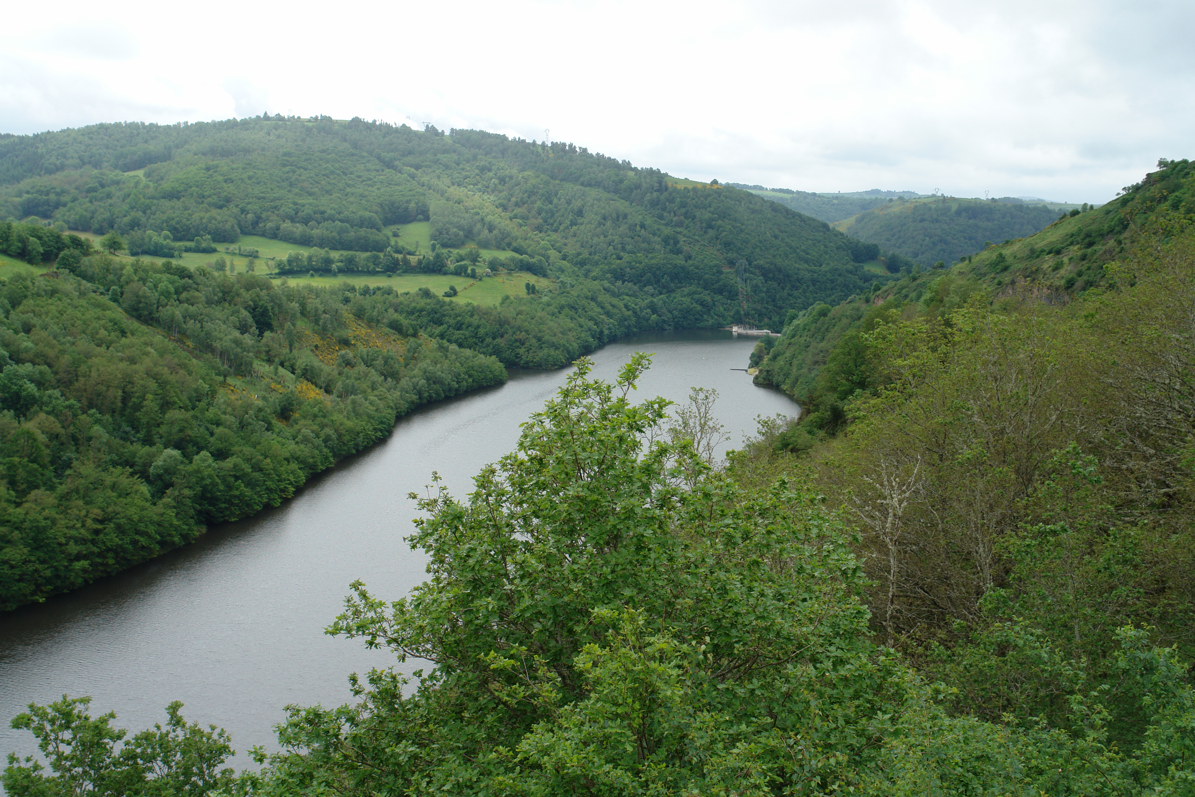
Monts du Cantal

Coucher de Soleil Murat

Griou de nierveze
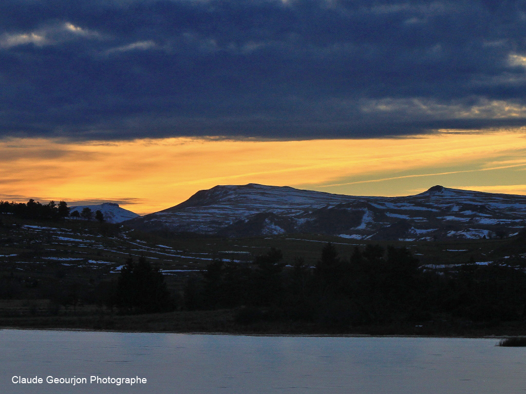
Crépuscule Lac du Pécher
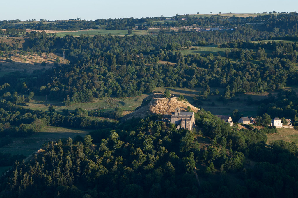
Eglise de Bredons | Murat and around-56
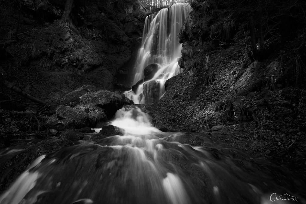
Cascade de Chambeuil - Auvergne - France
St Flour
DSC08200.JPG

DSC08200.JPG
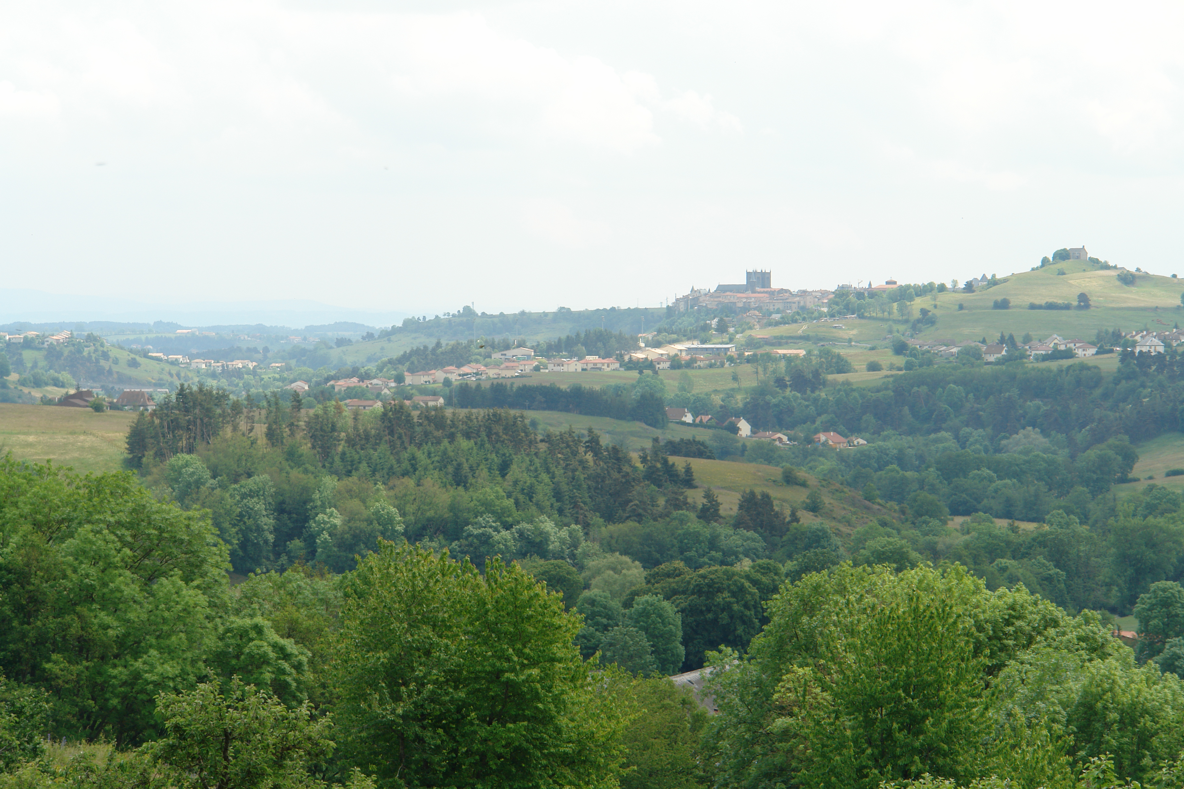
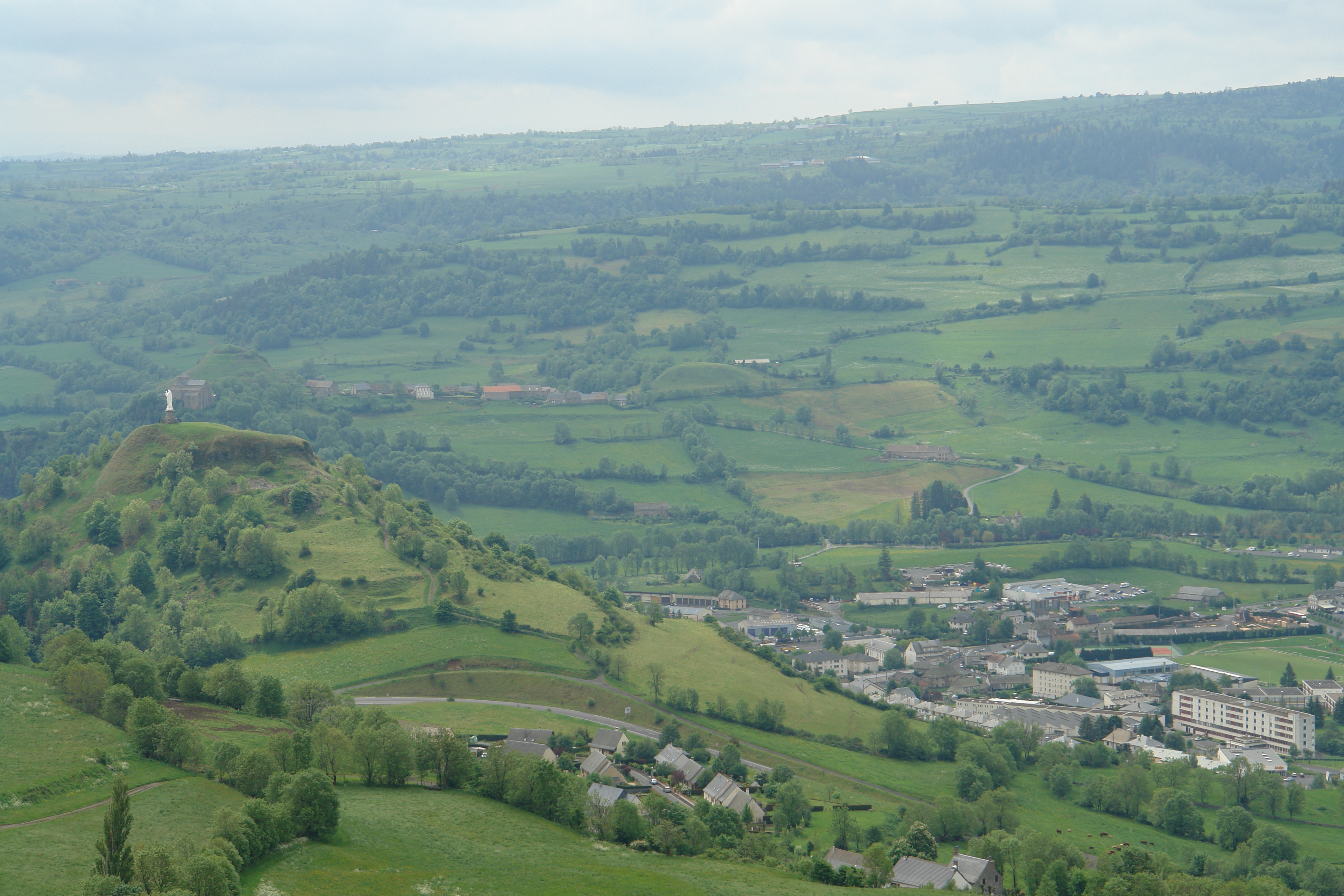
St Flour from Andelat
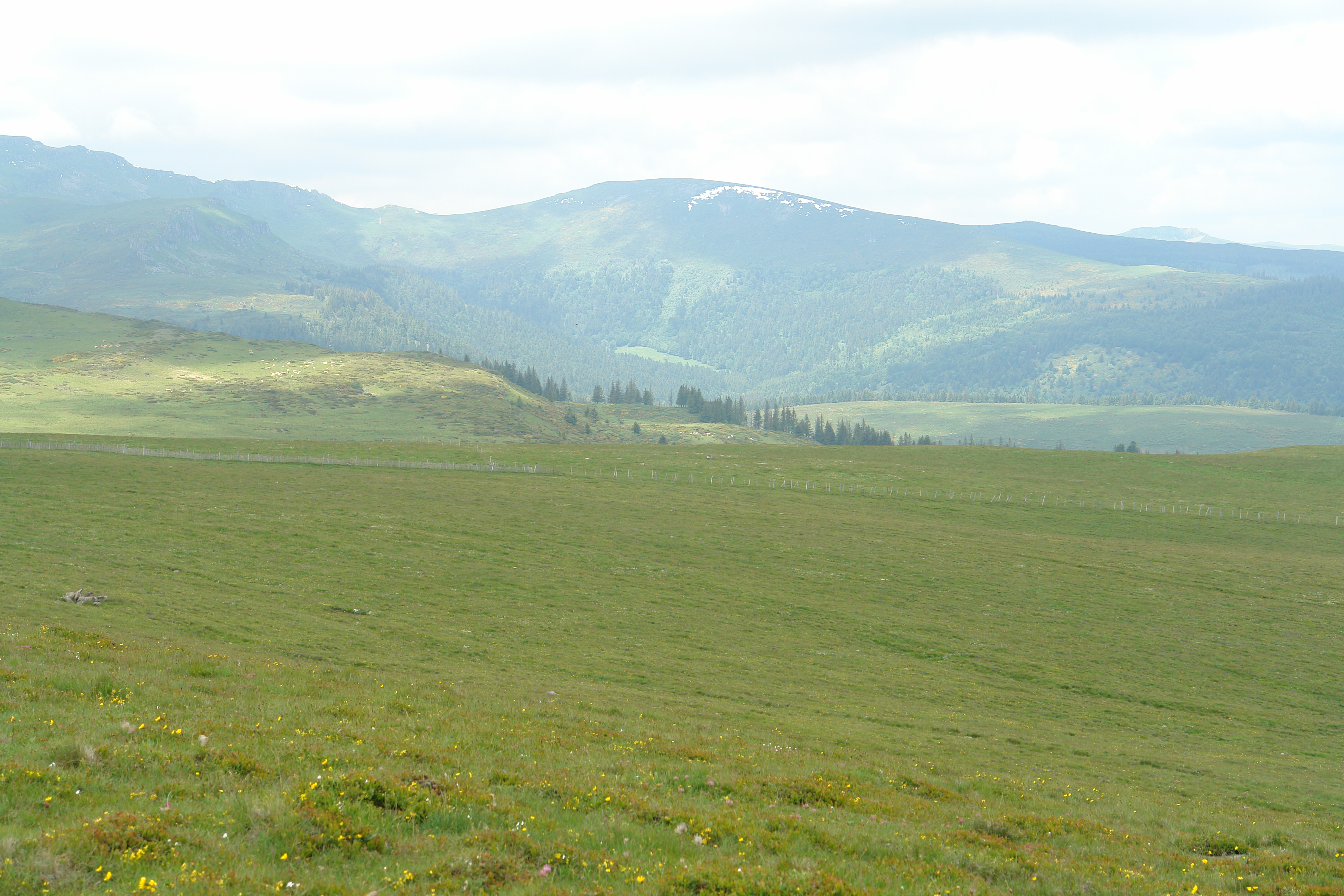
View from the Planeze
DSC08362.JPG

DSC08198.JPG

DSC08361.JPG
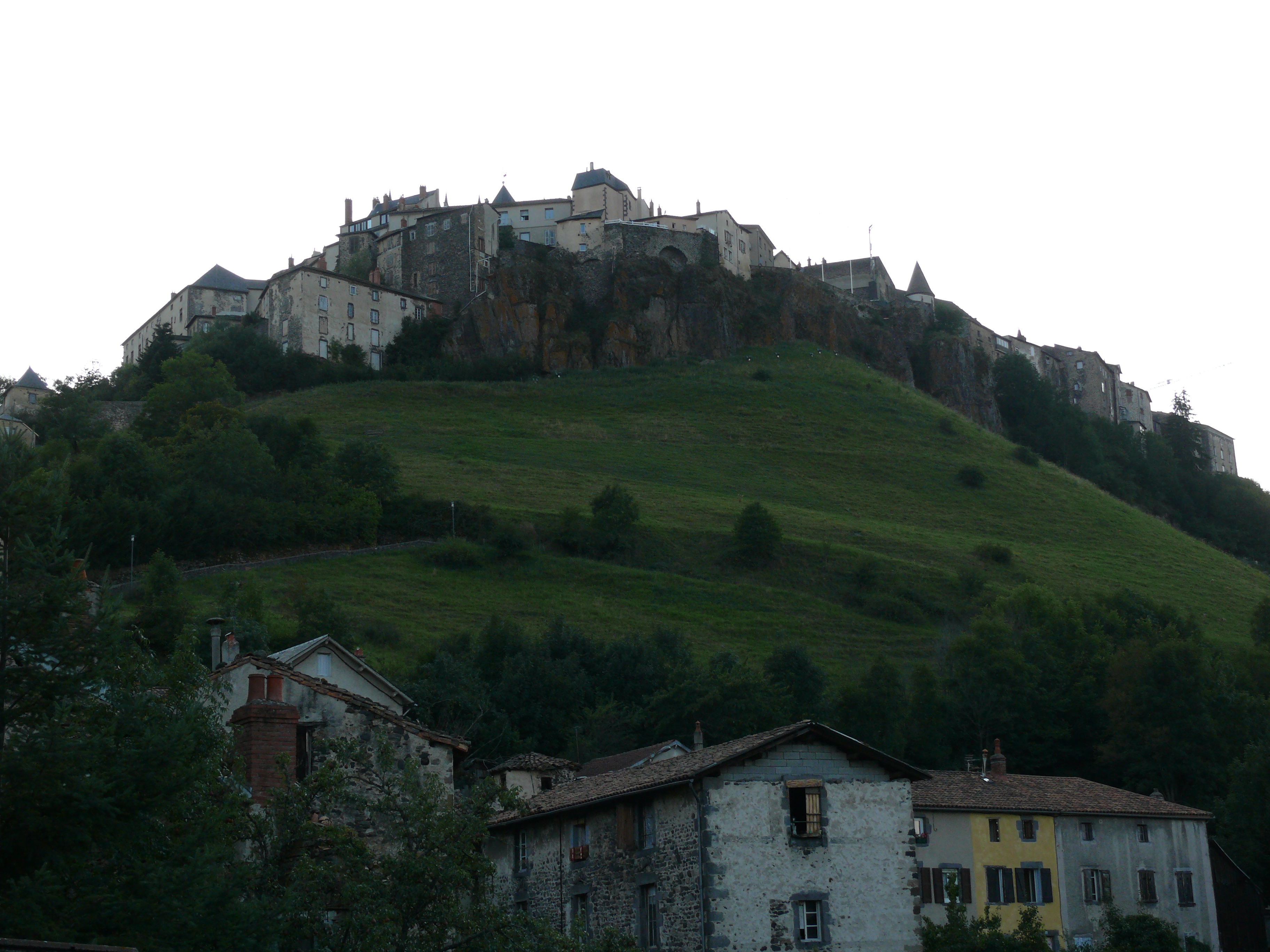
St Flour
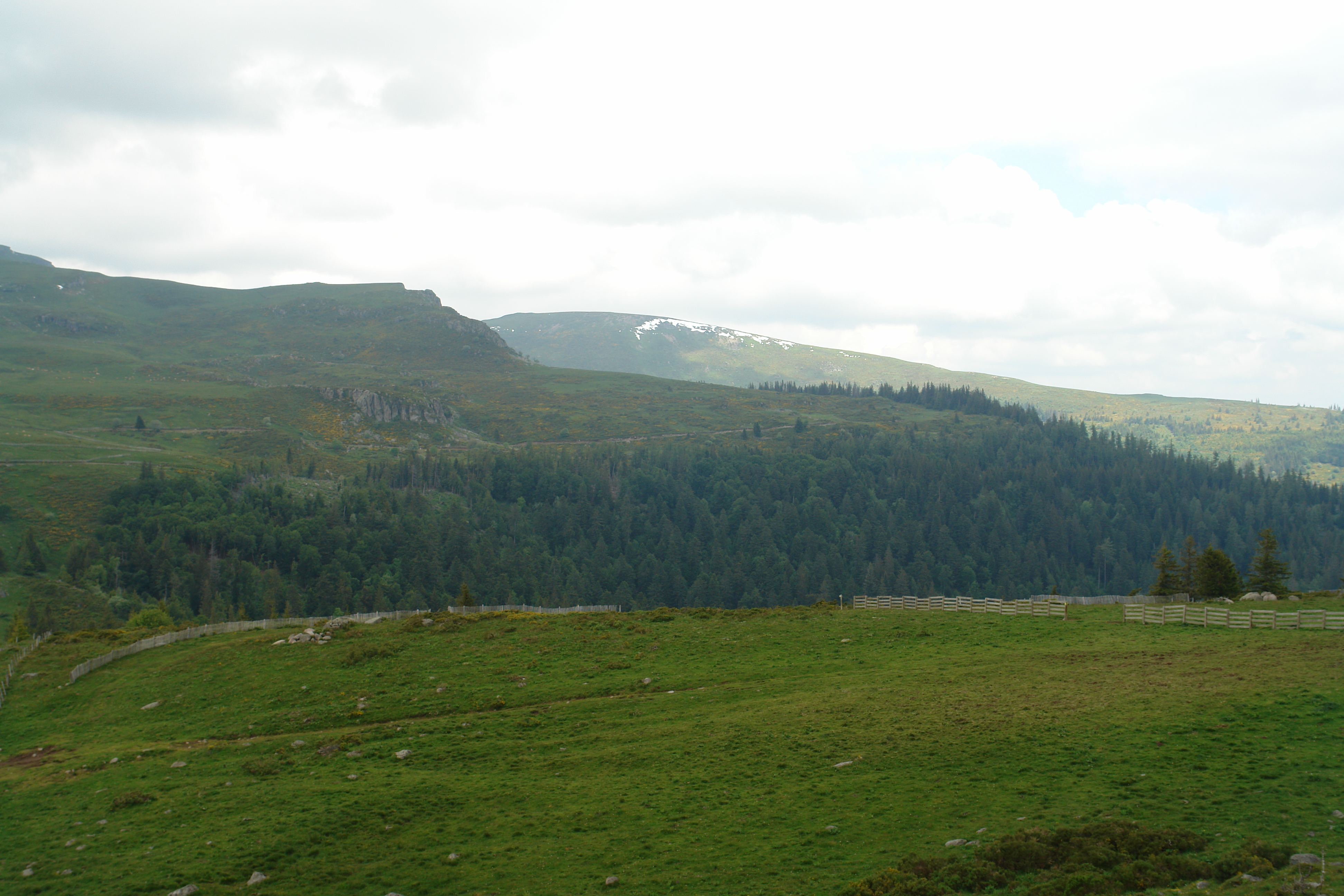
View from above the Col de Prat de Bouc
DSC08208.JPG
DSC08198.JPG
Walking across the never-ending Planeze
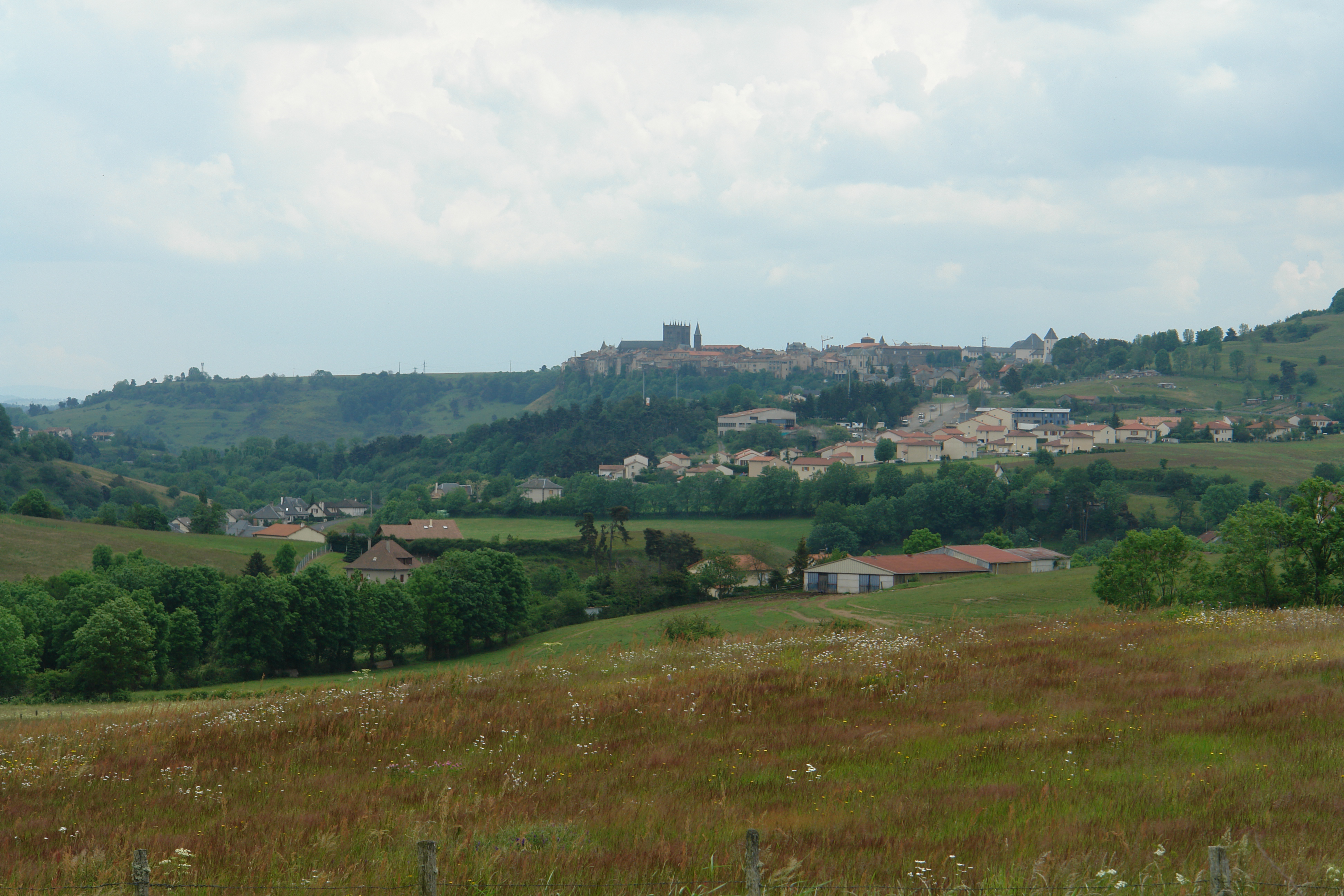
St Flour

St.-Flour
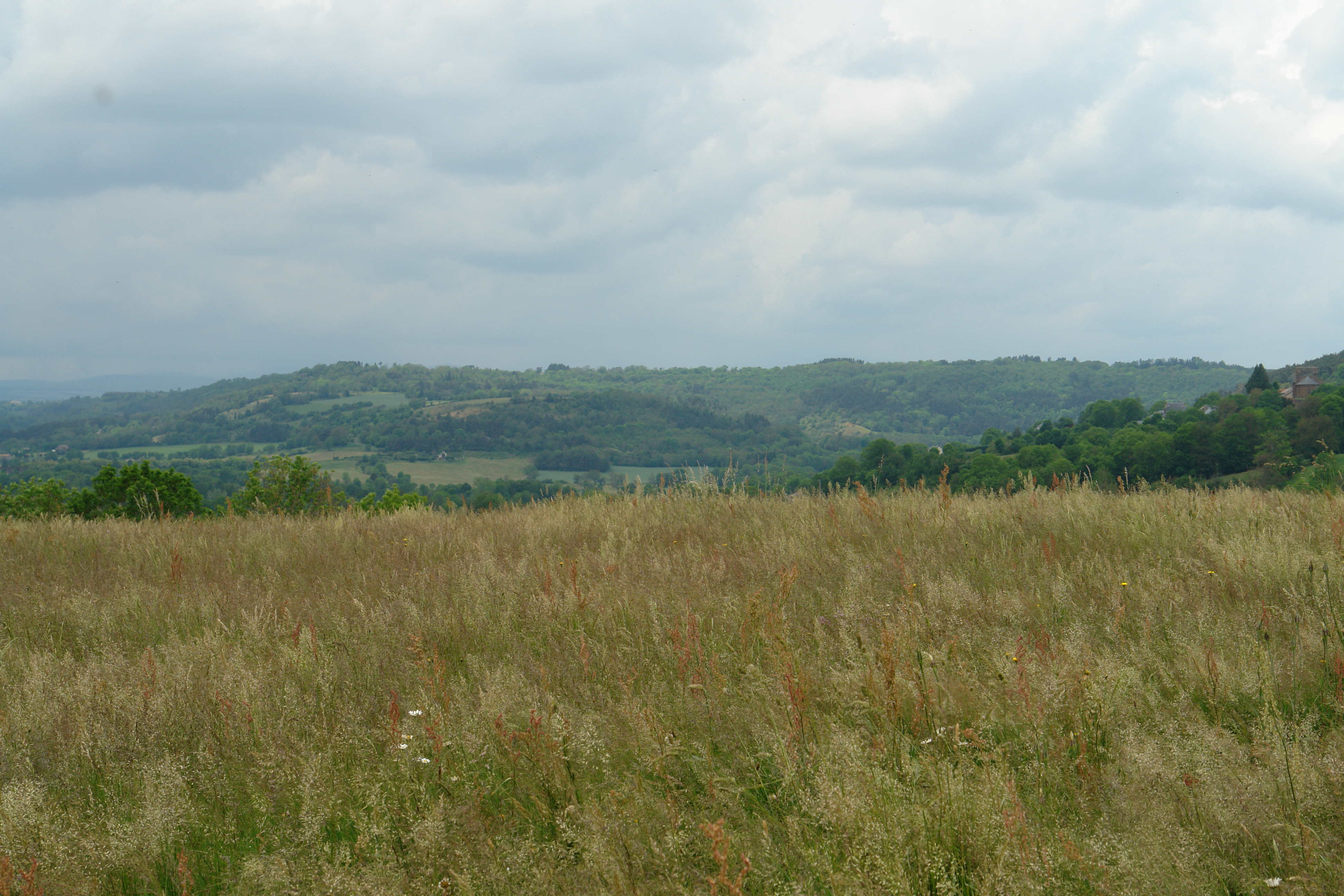
The countryside near St Flour
DSC08215.JPG

DSC08201.JPG
DSC08202.JPG

DSC08202.JPG
法国波拉克的地图
查询其他地方的日出日落时间
附近地点
Le Bourg, Paulhac, 法国
15 Le Meynial, Laveissière, 法国
法国蒙尚
Le Bourg, Saint-Poncy, 法国
法国圣蓬西
Cézallier, Anzat-le-Luguet, 法国
法国昂扎勒吕盖
法国布拉萨克
法国勒蒙多尔桑西山
Creste, 法国
法国拉克河畔尚邦
法国米罗勒
La Rivière, Murol, 法国Chateau De Murol
Prady, Creste, 法国
法国圣内克泰尔
Sailles, Saint-Nectaire, 法国
法国库特热
法国尚特热
1 Calade du Valla, Chanteuges, 法国
7 Rue de la Sardissere, Neschers, 法国
最近搜索
- Red Dog Mine, AK, USA的日出日落时间表
- Am bhf, Borken, 德国Am Bahnhof的日出日落时间表
- 4th St E, Sonoma, CA 美国的日出日落时间表
- Oakland Ave, Williamsport, PA 美国的日出日落时间表
- Via Roma, Pieranica CR, Italy的日出日落时间表
- 克罗地亚杜布罗夫尼克 GradClock Tower of Dubrovnik的日出日落时间表
- 阿根廷丘布特省特雷利乌的日出日落时间表
- Hartfords Bluff Cir, Mt Pleasant, SC 美国的日出日落时间表
- 日本熊本县熊本市北区的日出日落时间表
- 中国福州市平潭县平潭岛的日出日落时间表