Manzanita Dr, Morgan Hill, CA 美国的日出日落时间表
Location: 美国 > 加利福尼亚州 > 圣克拉拉 > 美国加利福尼亚州摩根山丘 >
时区:
America/Los_Angeles
当地时间:
2025-07-07 11:25:22
经度:
-121.6069752
纬度:
37.1578186
今天日出时间:
05:54:12 AM
今天日落时间:
08:29:07 PM
今天日照时常:
14h 34m 55s
明天日出时间:
05:54:49 AM
明天日落时间:
08:28:47 PM
明天日照时常:
14h 33m 58s
显示所有日期
| 日期 | 日出 | 日落 | 日照时常 |
|---|---|---|---|
| 2025年01月01日 | 07:20:15 AM | 05:01:04 PM | 9h 40m 49s |
| 2025年01月02日 | 07:20:20 AM | 05:01:53 PM | 9h 41m 33s |
| 2025年01月03日 | 07:20:24 AM | 05:02:44 PM | 9h 42m 20s |
| 2025年01月04日 | 07:20:25 AM | 05:03:36 PM | 9h 43m 11s |
| 2025年01月05日 | 07:20:24 AM | 05:04:29 PM | 9h 44m 5s |
| 2025年01月06日 | 07:20:22 AM | 05:05:23 PM | 9h 45m 1s |
| 2025年01月07日 | 07:20:17 AM | 05:06:18 PM | 9h 46m 1s |
| 2025年01月08日 | 07:20:10 AM | 05:07:15 PM | 9h 47m 5s |
| 2025年01月09日 | 07:20:02 AM | 05:08:12 PM | 9h 48m 10s |
| 2025年01月10日 | 07:19:51 AM | 05:09:10 PM | 9h 49m 19s |
| 2025年01月11日 | 07:19:38 AM | 05:10:08 PM | 9h 50m 30s |
| 2025年01月12日 | 07:19:23 AM | 05:11:08 PM | 9h 51m 45s |
| 2025年01月13日 | 07:19:07 AM | 05:12:08 PM | 9h 53m 1s |
| 2025年01月14日 | 07:18:48 AM | 05:13:09 PM | 9h 54m 21s |
| 2025年01月15日 | 07:18:27 AM | 05:14:11 PM | 9h 55m 44s |
| 2025年01月16日 | 07:18:04 AM | 05:15:13 PM | 9h 57m 9s |
| 2025年01月17日 | 07:17:40 AM | 05:16:15 PM | 9h 58m 35s |
| 2025年01月18日 | 07:17:13 AM | 05:17:18 PM | 10h 0m 5s |
| 2025年01月19日 | 07:16:44 AM | 05:18:22 PM | 10h 1m 38s |
| 2025年01月20日 | 07:16:14 AM | 05:19:26 PM | 10h 3m 12s |
| 2025年01月21日 | 07:15:41 AM | 05:20:30 PM | 10h 4m 49s |
| 2025年01月22日 | 07:15:07 AM | 05:21:35 PM | 10h 6m 28s |
| 2025年01月23日 | 07:14:31 AM | 05:22:40 PM | 10h 8m 9s |
| 2025年01月24日 | 07:13:53 AM | 05:23:45 PM | 10h 9m 52s |
| 2025年01月25日 | 07:13:14 AM | 05:24:50 PM | 10h 11m 36s |
| 2025年01月26日 | 07:12:32 AM | 05:25:55 PM | 10h 13m 23s |
| 2025年01月27日 | 07:11:49 AM | 05:27:01 PM | 10h 15m 12s |
| 2025年01月28日 | 07:11:04 AM | 05:28:07 PM | 10h 17m 3s |
| 2025年01月29日 | 07:10:18 AM | 05:29:12 PM | 10h 18m 54s |
| 2025年01月30日 | 07:09:30 AM | 05:30:18 PM | 10h 20m 48s |
| 2025年01月31日 | 07:08:40 AM | 05:31:23 PM | 10h 22m 43s |
| 2025年02月01日 | 07:07:49 AM | 05:32:29 PM | 10h 24m 40s |
| 2025年02月02日 | 07:06:56 AM | 05:33:35 PM | 10h 26m 39s |
| 2025年02月03日 | 07:06:01 AM | 05:34:40 PM | 10h 28m 39s |
| 2025年02月04日 | 07:05:05 AM | 05:35:45 PM | 10h 30m 40s |
| 2025年02月05日 | 07:04:08 AM | 05:36:51 PM | 10h 32m 43s |
| 2025年02月06日 | 07:03:09 AM | 05:37:56 PM | 10h 34m 47s |
| 2025年02月07日 | 07:02:09 AM | 05:39:00 PM | 10h 36m 51s |
| 2025年02月08日 | 07:01:07 AM | 05:40:05 PM | 10h 38m 58s |
| 2025年02月09日 | 07:00:04 AM | 05:41:09 PM | 10h 41m 5s |
| 2025年02月10日 | 06:59:00 AM | 05:42:14 PM | 10h 43m 14s |
| 2025年02月11日 | 06:57:55 AM | 05:43:18 PM | 10h 45m 23s |
| 2025年02月12日 | 06:56:48 AM | 05:44:21 PM | 10h 47m 33s |
| 2025年02月13日 | 06:55:40 AM | 05:45:25 PM | 10h 49m 45s |
| 2025年02月14日 | 06:54:31 AM | 05:46:28 PM | 10h 51m 57s |
| 2025年02月15日 | 06:53:21 AM | 05:47:31 PM | 10h 54m 10s |
| 2025年02月16日 | 06:52:09 AM | 05:48:33 PM | 10h 56m 24s |
| 2025年02月17日 | 06:50:57 AM | 05:49:35 PM | 10h 58m 38s |
| 2025年02月18日 | 06:49:43 AM | 05:50:37 PM | 11h 0m 54s |
| 2025年02月19日 | 06:48:29 AM | 05:51:39 PM | 11h 3m 10s |
| 2025年02月20日 | 06:47:13 AM | 05:52:40 PM | 11h 5m 27s |
| 2025年02月21日 | 06:45:57 AM | 05:53:41 PM | 11h 7m 44s |
| 2025年02月22日 | 06:44:40 AM | 05:54:42 PM | 11h 10m 2s |
| 2025年02月23日 | 06:43:22 AM | 05:55:42 PM | 11h 12m 20s |
| 2025年02月24日 | 06:42:03 AM | 05:56:42 PM | 11h 14m 39s |
| 2025年02月25日 | 06:40:43 AM | 05:57:42 PM | 11h 16m 59s |
| 2025年02月26日 | 06:39:22 AM | 05:58:41 PM | 11h 19m 19s |
| 2025年02月27日 | 06:38:01 AM | 05:59:40 PM | 11h 21m 39s |
| 2025年02月28日 | 06:36:39 AM | 06:00:39 PM | 11h 24m 0s |
| 2025年03月01日 | 06:35:16 AM | 06:01:37 PM | 11h 26m 21s |
| 2025年03月02日 | 06:33:53 AM | 06:02:35 PM | 11h 28m 42s |
| 2025年03月03日 | 06:32:29 AM | 06:03:33 PM | 11h 31m 4s |
| 2025年03月04日 | 06:31:04 AM | 06:04:30 PM | 11h 33m 26s |
| 2025年03月05日 | 06:29:39 AM | 06:05:28 PM | 11h 35m 49s |
| 2025年03月06日 | 06:28:13 AM | 06:06:25 PM | 11h 38m 12s |
| 2025年03月07日 | 06:26:47 AM | 06:07:21 PM | 11h 40m 34s |
| 2025年03月08日 | 06:25:21 AM | 06:08:18 PM | 11h 42m 57s |
| 2025年03月09日 | 07:23:57 AM | 07:09:12 PM | 11h 45m 15s |
| 2025年03月10日 | 07:22:30 AM | 07:10:07 PM | 11h 47m 37s |
| 2025年03月11日 | 07:21:02 AM | 07:11:03 PM | 11h 50m 1s |
| 2025年03月12日 | 07:19:34 AM | 07:11:59 PM | 11h 52m 25s |
| 2025年03月13日 | 07:18:06 AM | 07:12:54 PM | 11h 54m 48s |
| 2025年03月14日 | 07:16:37 AM | 07:13:49 PM | 11h 57m 12s |
| 2025年03月15日 | 07:15:08 AM | 07:14:44 PM | 11h 59m 36s |
| 2025年03月16日 | 07:13:39 AM | 07:15:38 PM | 12h 1m 59s |
| 2025年03月17日 | 07:12:10 AM | 07:16:33 PM | 12h 4m 23s |
| 2025年03月18日 | 07:10:40 AM | 07:17:27 PM | 12h 6m 47s |
| 2025年03月19日 | 07:09:11 AM | 07:18:21 PM | 12h 9m 10s |
| 2025年03月20日 | 07:07:41 AM | 07:19:15 PM | 12h 11m 34s |
| 2025年03月21日 | 07:06:11 AM | 07:20:09 PM | 12h 13m 58s |
| 2025年03月22日 | 07:04:41 AM | 07:21:03 PM | 12h 16m 22s |
| 2025年03月23日 | 07:03:12 AM | 07:21:57 PM | 12h 18m 45s |
| 2025年03月24日 | 07:01:42 AM | 07:22:50 PM | 12h 21m 8s |
| 2025年03月25日 | 07:00:12 AM | 07:23:44 PM | 12h 23m 32s |
| 2025年03月26日 | 06:58:42 AM | 07:24:37 PM | 12h 25m 55s |
| 2025年03月27日 | 06:57:13 AM | 07:25:30 PM | 12h 28m 17s |
| 2025年03月28日 | 06:55:44 AM | 07:26:24 PM | 12h 30m 40s |
| 2025年03月29日 | 06:54:14 AM | 07:27:17 PM | 12h 33m 3s |
| 2025年03月30日 | 06:52:45 AM | 07:28:10 PM | 12h 35m 25s |
| 2025年03月31日 | 06:51:17 AM | 07:29:03 PM | 12h 37m 46s |
| 2025年04月01日 | 06:49:48 AM | 07:29:57 PM | 12h 40m 9s |
| 2025年04月02日 | 06:48:20 AM | 07:30:50 PM | 12h 42m 30s |
| 2025年04月03日 | 06:46:52 AM | 07:31:43 PM | 12h 44m 51s |
| 2025年04月04日 | 06:45:25 AM | 07:32:36 PM | 12h 47m 11s |
| 2025年04月05日 | 06:43:57 AM | 07:33:29 PM | 12h 49m 32s |
| 2025年04月06日 | 06:42:31 AM | 07:34:22 PM | 12h 51m 51s |
| 2025年04月07日 | 06:41:04 AM | 07:35:15 PM | 12h 54m 11s |
| 2025年04月08日 | 06:39:39 AM | 07:36:09 PM | 12h 56m 30s |
| 2025年04月09日 | 06:38:13 AM | 07:37:02 PM | 12h 58m 49s |
| 2025年04月10日 | 06:36:49 AM | 07:37:55 PM | 13h 1m 6s |
| 2025年04月11日 | 06:35:24 AM | 07:38:48 PM | 13h 3m 24s |
| 2025年04月12日 | 06:34:01 AM | 07:39:42 PM | 13h 5m 41s |
| 2025年04月13日 | 06:32:38 AM | 07:40:35 PM | 13h 7m 57s |
| 2025年04月14日 | 06:31:15 AM | 07:41:29 PM | 13h 10m 14s |
| 2025年04月15日 | 06:29:54 AM | 07:42:22 PM | 13h 12m 28s |
| 2025年04月16日 | 06:28:33 AM | 07:43:16 PM | 13h 14m 43s |
| 2025年04月17日 | 06:27:12 AM | 07:44:09 PM | 13h 16m 57s |
| 2025年04月18日 | 06:25:53 AM | 07:45:03 PM | 13h 19m 10s |
| 2025年04月19日 | 06:24:34 AM | 07:45:57 PM | 13h 21m 23s |
| 2025年04月20日 | 06:23:16 AM | 07:46:50 PM | 13h 23m 34s |
| 2025年04月21日 | 06:21:59 AM | 07:47:44 PM | 13h 25m 45s |
| 2025年04月22日 | 06:20:43 AM | 07:48:38 PM | 13h 27m 55s |
| 2025年04月23日 | 06:19:28 AM | 07:49:32 PM | 13h 30m 4s |
| 2025年04月24日 | 06:18:14 AM | 07:50:25 PM | 13h 32m 11s |
| 2025年04月25日 | 06:17:00 AM | 07:51:19 PM | 13h 34m 19s |
| 2025年04月26日 | 06:15:48 AM | 07:52:13 PM | 13h 36m 25s |
| 2025年04月27日 | 06:14:37 AM | 07:53:07 PM | 13h 38m 30s |
| 2025年04月28日 | 06:13:27 AM | 07:54:00 PM | 13h 40m 33s |
| 2025年04月29日 | 06:12:18 AM | 07:54:54 PM | 13h 42m 36s |
| 2025年04月30日 | 06:11:10 AM | 07:55:48 PM | 13h 44m 38s |
| 2025年05月01日 | 06:10:03 AM | 07:56:41 PM | 13h 46m 38s |
| 2025年05月02日 | 06:08:57 AM | 07:57:35 PM | 13h 48m 38s |
| 2025年05月03日 | 06:07:53 AM | 07:58:28 PM | 13h 50m 35s |
| 2025年05月04日 | 06:06:50 AM | 07:59:22 PM | 13h 52m 32s |
| 2025年05月05日 | 06:05:48 AM | 08:00:15 PM | 13h 54m 27s |
| 2025年05月06日 | 06:04:47 AM | 08:01:08 PM | 13h 56m 21s |
| 2025年05月07日 | 06:03:48 AM | 08:02:01 PM | 13h 58m 13s |
| 2025年05月08日 | 06:02:50 AM | 08:02:53 PM | 14h 0m 3s |
| 2025年05月09日 | 06:01:53 AM | 08:03:46 PM | 14h 1m 53s |
| 2025年05月10日 | 06:00:58 AM | 08:04:38 PM | 14h 3m 40s |
| 2025年05月11日 | 06:00:04 AM | 08:05:30 PM | 14h 5m 26s |
| 2025年05月12日 | 05:59:12 AM | 08:06:21 PM | 14h 7m 9s |
| 2025年05月13日 | 05:58:21 AM | 08:07:13 PM | 14h 8m 52s |
| 2025年05月14日 | 05:57:32 AM | 08:08:03 PM | 14h 10m 31s |
| 2025年05月15日 | 05:56:44 AM | 08:08:54 PM | 14h 12m 10s |
| 2025年05月16日 | 05:55:57 AM | 08:09:44 PM | 14h 13m 47s |
| 2025年05月17日 | 05:55:13 AM | 08:10:34 PM | 14h 15m 21s |
| 2025年05月18日 | 05:54:29 AM | 08:11:23 PM | 14h 16m 54s |
| 2025年05月19日 | 05:53:48 AM | 08:12:11 PM | 14h 18m 23s |
| 2025年05月20日 | 05:53:08 AM | 08:12:59 PM | 14h 19m 51s |
| 2025年05月21日 | 05:52:29 AM | 08:13:47 PM | 14h 21m 18s |
| 2025年05月22日 | 05:51:53 AM | 08:14:34 PM | 14h 22m 41s |
| 2025年05月23日 | 05:51:18 AM | 08:15:20 PM | 14h 24m 2s |
| 2025年05月24日 | 05:50:44 AM | 08:16:06 PM | 14h 25m 22s |
| 2025年05月25日 | 05:50:13 AM | 08:16:50 PM | 14h 26m 37s |
| 2025年05月26日 | 05:49:43 AM | 08:17:34 PM | 14h 27m 51s |
| 2025年05月27日 | 05:49:15 AM | 08:18:18 PM | 14h 29m 3s |
| 2025年05月28日 | 05:48:48 AM | 08:19:00 PM | 14h 30m 12s |
| 2025年05月29日 | 05:48:23 AM | 08:19:42 PM | 14h 31m 19s |
| 2025年05月30日 | 05:48:00 AM | 08:20:22 PM | 14h 32m 22s |
| 2025年05月31日 | 05:47:39 AM | 08:21:02 PM | 14h 33m 23s |
| 2025年06月01日 | 05:47:20 AM | 08:21:40 PM | 14h 34m 20s |
| 2025年06月02日 | 05:47:02 AM | 08:22:18 PM | 14h 35m 16s |
| 2025年06月03日 | 05:46:46 AM | 08:22:55 PM | 14h 36m 9s |
| 2025年06月04日 | 05:46:32 AM | 08:23:30 PM | 14h 36m 58s |
| 2025年06月05日 | 05:46:20 AM | 08:24:04 PM | 14h 37m 44s |
| 2025年06月06日 | 05:46:09 AM | 08:24:37 PM | 14h 38m 28s |
| 2025年06月07日 | 05:46:00 AM | 08:25:09 PM | 14h 39m 9s |
| 2025年06月08日 | 05:45:53 AM | 08:25:40 PM | 14h 39m 47s |
| 2025年06月09日 | 05:45:48 AM | 08:26:09 PM | 14h 40m 21s |
| 2025年06月10日 | 05:45:44 AM | 08:26:37 PM | 14h 40m 53s |
| 2025年06月11日 | 05:45:42 AM | 08:27:04 PM | 14h 41m 22s |
| 2025年06月12日 | 05:45:42 AM | 08:27:29 PM | 14h 41m 47s |
| 2025年06月13日 | 05:45:44 AM | 08:27:53 PM | 14h 42m 9s |
| 2025年06月14日 | 05:45:47 AM | 08:28:16 PM | 14h 42m 29s |
| 2025年06月15日 | 05:45:52 AM | 08:28:36 PM | 14h 42m 44s |
| 2025年06月16日 | 05:45:59 AM | 08:28:56 PM | 14h 42m 57s |
| 2025年06月17日 | 05:46:07 AM | 08:29:14 PM | 14h 43m 7s |
| 2025年06月18日 | 05:46:17 AM | 08:29:30 PM | 14h 43m 13s |
| 2025年06月19日 | 05:46:29 AM | 08:29:44 PM | 14h 43m 15s |
| 2025年06月20日 | 05:46:42 AM | 08:29:57 PM | 14h 43m 15s |
| 2025年06月21日 | 05:46:56 AM | 08:30:09 PM | 14h 43m 13s |
| 2025年06月22日 | 05:47:13 AM | 08:30:19 PM | 14h 43m 6s |
| 2025年06月23日 | 05:47:30 AM | 08:30:27 PM | 14h 42m 57s |
| 2025年06月24日 | 05:47:50 AM | 08:30:33 PM | 14h 42m 43s |
| 2025年06月25日 | 05:48:10 AM | 08:30:37 PM | 14h 42m 27s |
| 2025年06月26日 | 05:48:32 AM | 08:30:40 PM | 14h 42m 8s |
| 2025年06月27日 | 05:48:56 AM | 08:30:41 PM | 14h 41m 45s |
| 2025年06月28日 | 05:49:20 AM | 08:30:41 PM | 14h 41m 21s |
| 2025年06月29日 | 05:49:47 AM | 08:30:38 PM | 14h 40m 51s |
| 2025年06月30日 | 05:50:14 AM | 08:30:34 PM | 14h 40m 20s |
| 2025年07月01日 | 05:50:43 AM | 08:30:28 PM | 14h 39m 45s |
| 2025年07月02日 | 05:51:12 AM | 08:30:20 PM | 14h 39m 8s |
| 2025年07月03日 | 05:51:43 AM | 08:30:10 PM | 14h 38m 27s |
| 2025年07月04日 | 05:52:16 AM | 08:29:59 PM | 14h 37m 43s |
| 2025年07月05日 | 05:52:49 AM | 08:29:46 PM | 14h 36m 57s |
| 2025年07月06日 | 05:53:23 AM | 08:29:30 PM | 14h 36m 7s |
| 2025年07月07日 | 05:53:59 AM | 08:29:14 PM | 14h 35m 15s |
| 2025年07月08日 | 05:54:35 AM | 08:28:55 PM | 14h 34m 20s |
| 2025年07月09日 | 05:55:12 AM | 08:28:34 PM | 14h 33m 22s |
| 2025年07月10日 | 05:55:51 AM | 08:28:12 PM | 14h 32m 21s |
| 2025年07月11日 | 05:56:30 AM | 08:27:48 PM | 14h 31m 18s |
| 2025年07月12日 | 05:57:10 AM | 08:27:22 PM | 14h 30m 12s |
| 2025年07月13日 | 05:57:50 AM | 08:26:54 PM | 14h 29m 4s |
| 2025年07月14日 | 05:58:32 AM | 08:26:25 PM | 14h 27m 53s |
| 2025年07月15日 | 05:59:14 AM | 08:25:54 PM | 14h 26m 40s |
| 2025年07月16日 | 05:59:57 AM | 08:25:21 PM | 14h 25m 24s |
| 2025年07月17日 | 06:00:41 AM | 08:24:46 PM | 14h 24m 5s |
| 2025年07月18日 | 06:01:25 AM | 08:24:10 PM | 14h 22m 45s |
| 2025年07月19日 | 06:02:10 AM | 08:23:32 PM | 14h 21m 22s |
| 2025年07月20日 | 06:02:55 AM | 08:22:52 PM | 14h 19m 57s |
| 2025年07月21日 | 06:03:41 AM | 08:22:10 PM | 14h 18m 29s |
| 2025年07月22日 | 06:04:27 AM | 08:21:27 PM | 14h 17m 0s |
| 2025年07月23日 | 06:05:14 AM | 08:20:43 PM | 14h 15m 29s |
| 2025年07月24日 | 06:06:01 AM | 08:19:57 PM | 14h 13m 56s |
| 2025年07月25日 | 06:06:49 AM | 08:19:09 PM | 14h 12m 20s |
| 2025年07月26日 | 06:07:37 AM | 08:18:19 PM | 14h 10m 42s |
| 2025年07月27日 | 06:08:25 AM | 08:17:28 PM | 14h 9m 3s |
| 2025年07月28日 | 06:09:14 AM | 08:16:36 PM | 14h 7m 22s |
| 2025年07月29日 | 06:10:02 AM | 08:15:42 PM | 14h 5m 40s |
| 2025年07月30日 | 06:10:52 AM | 08:14:47 PM | 14h 3m 55s |
| 2025年07月31日 | 06:11:41 AM | 08:13:50 PM | 14h 2m 9s |
| 2025年08月01日 | 06:12:30 AM | 08:12:52 PM | 14h 0m 22s |
| 2025年08月02日 | 06:13:20 AM | 08:11:52 PM | 13h 58m 32s |
| 2025年08月03日 | 06:14:10 AM | 08:10:51 PM | 13h 56m 41s |
| 2025年08月04日 | 06:15:00 AM | 08:09:49 PM | 13h 54m 49s |
| 2025年08月05日 | 06:15:50 AM | 08:08:45 PM | 13h 52m 55s |
| 2025年08月06日 | 06:16:40 AM | 08:07:41 PM | 13h 51m 1s |
| 2025年08月07日 | 06:17:30 AM | 08:06:35 PM | 13h 49m 5s |
| 2025年08月08日 | 06:18:20 AM | 08:05:27 PM | 13h 47m 7s |
| 2025年08月09日 | 06:19:10 AM | 08:04:19 PM | 13h 45m 9s |
| 2025年08月10日 | 06:20:01 AM | 08:03:09 PM | 13h 43m 8s |
| 2025年08月11日 | 06:20:51 AM | 08:01:58 PM | 13h 41m 7s |
| 2025年08月12日 | 06:21:41 AM | 08:00:47 PM | 13h 39m 6s |
| 2025年08月13日 | 06:22:31 AM | 07:59:34 PM | 13h 37m 3s |
| 2025年08月14日 | 06:23:22 AM | 07:58:20 PM | 13h 34m 58s |
| 2025年08月15日 | 06:24:12 AM | 07:57:05 PM | 13h 32m 53s |
| 2025年08月16日 | 06:25:02 AM | 07:55:49 PM | 13h 30m 47s |
| 2025年08月17日 | 06:25:52 AM | 07:54:32 PM | 13h 28m 40s |
| 2025年08月18日 | 06:26:42 AM | 07:53:14 PM | 13h 26m 32s |
| 2025年08月19日 | 06:27:32 AM | 07:51:55 PM | 13h 24m 23s |
| 2025年08月20日 | 06:28:22 AM | 07:50:35 PM | 13h 22m 13s |
| 2025年08月21日 | 06:29:12 AM | 07:49:15 PM | 13h 20m 3s |
| 2025年08月22日 | 06:30:01 AM | 07:47:54 PM | 13h 17m 53s |
| 2025年08月23日 | 06:30:51 AM | 07:46:32 PM | 13h 15m 41s |
| 2025年08月24日 | 06:31:41 AM | 07:45:09 PM | 13h 13m 28s |
| 2025年08月25日 | 06:32:30 AM | 07:43:45 PM | 13h 11m 15s |
| 2025年08月26日 | 06:33:20 AM | 07:42:21 PM | 13h 9m 1s |
| 2025年08月27日 | 06:34:09 AM | 07:40:56 PM | 13h 6m 47s |
| 2025年08月28日 | 06:34:58 AM | 07:39:31 PM | 13h 4m 33s |
| 2025年08月29日 | 06:35:48 AM | 07:38:05 PM | 13h 2m 17s |
| 2025年08月30日 | 06:36:37 AM | 07:36:38 PM | 13h 0m 1s |
| 2025年08月31日 | 06:37:26 AM | 07:35:11 PM | 12h 57m 45s |
| 2025年09月01日 | 06:38:15 AM | 07:33:43 PM | 12h 55m 28s |
| 2025年09月02日 | 06:39:04 AM | 07:32:15 PM | 12h 53m 11s |
| 2025年09月03日 | 06:39:53 AM | 07:30:46 PM | 12h 50m 53s |
| 2025年09月04日 | 06:40:42 AM | 07:29:17 PM | 12h 48m 35s |
| 2025年09月05日 | 06:41:30 AM | 07:27:48 PM | 12h 46m 18s |
| 2025年09月06日 | 06:42:19 AM | 07:26:18 PM | 12h 43m 59s |
| 2025年09月07日 | 06:43:08 AM | 07:24:47 PM | 12h 41m 39s |
| 2025年09月08日 | 06:43:57 AM | 07:23:17 PM | 12h 39m 20s |
| 2025年09月09日 | 06:44:46 AM | 07:21:46 PM | 12h 37m 0s |
| 2025年09月10日 | 06:45:35 AM | 07:20:15 PM | 12h 34m 40s |
| 2025年09月11日 | 06:46:23 AM | 07:18:44 PM | 12h 32m 21s |
| 2025年09月12日 | 06:47:12 AM | 07:17:12 PM | 12h 30m 0s |
| 2025年09月13日 | 06:48:01 AM | 07:15:41 PM | 12h 27m 40s |
| 2025年09月14日 | 06:48:50 AM | 07:14:09 PM | 12h 25m 19s |
| 2025年09月15日 | 06:49:39 AM | 07:12:37 PM | 12h 22m 58s |
| 2025年09月16日 | 06:50:28 AM | 07:11:05 PM | 12h 20m 37s |
| 2025年09月17日 | 06:51:17 AM | 07:09:33 PM | 12h 18m 16s |
| 2025年09月18日 | 06:52:06 AM | 07:08:01 PM | 12h 15m 55s |
| 2025年09月19日 | 06:52:56 AM | 07:06:29 PM | 12h 13m 33s |
| 2025年09月20日 | 06:53:45 AM | 07:04:57 PM | 12h 11m 12s |
| 2025年09月21日 | 06:54:35 AM | 07:03:25 PM | 12h 8m 50s |
| 2025年09月22日 | 06:55:25 AM | 07:01:53 PM | 12h 6m 28s |
| 2025年09月23日 | 06:56:14 AM | 07:00:21 PM | 12h 4m 7s |
| 2025年09月24日 | 06:57:04 AM | 06:58:50 PM | 12h 1m 46s |
| 2025年09月25日 | 06:57:55 AM | 06:57:19 PM | 11h 59m 24s |
| 2025年09月26日 | 06:58:45 AM | 06:55:47 PM | 11h 57m 2s |
| 2025年09月27日 | 06:59:36 AM | 06:54:16 PM | 11h 54m 40s |
| 2025年09月28日 | 07:00:27 AM | 06:52:46 PM | 11h 52m 19s |
| 2025年09月29日 | 07:01:18 AM | 06:51:15 PM | 11h 49m 57s |
| 2025年09月30日 | 07:02:09 AM | 06:49:45 PM | 11h 47m 36s |
| 2025年10月01日 | 07:03:00 AM | 06:48:16 PM | 11h 45m 16s |
| 2025年10月02日 | 07:03:52 AM | 06:46:47 PM | 11h 42m 55s |
| 2025年10月03日 | 07:04:44 AM | 06:45:18 PM | 11h 40m 34s |
| 2025年10月04日 | 07:05:36 AM | 06:43:49 PM | 11h 38m 13s |
| 2025年10月05日 | 07:06:29 AM | 06:42:21 PM | 11h 35m 52s |
| 2025年10月06日 | 07:07:22 AM | 06:40:54 PM | 11h 33m 32s |
| 2025年10月07日 | 07:08:15 AM | 06:39:27 PM | 11h 31m 12s |
| 2025年10月08日 | 07:09:08 AM | 06:38:01 PM | 11h 28m 53s |
| 2025年10月09日 | 07:10:02 AM | 06:36:35 PM | 11h 26m 33s |
| 2025年10月10日 | 07:10:56 AM | 06:35:10 PM | 11h 24m 14s |
| 2025年10月11日 | 07:11:51 AM | 06:33:46 PM | 11h 21m 55s |
| 2025年10月12日 | 07:12:45 AM | 06:32:22 PM | 11h 19m 37s |
| 2025年10月13日 | 07:13:40 AM | 06:30:59 PM | 11h 17m 19s |
| 2025年10月14日 | 07:14:36 AM | 06:29:37 PM | 11h 15m 1s |
| 2025年10月15日 | 07:15:32 AM | 06:28:16 PM | 11h 12m 44s |
| 2025年10月16日 | 07:16:28 AM | 06:26:55 PM | 11h 10m 27s |
| 2025年10月17日 | 07:17:24 AM | 06:25:36 PM | 11h 8m 12s |
| 2025年10月18日 | 07:18:21 AM | 06:24:17 PM | 11h 5m 56s |
| 2025年10月19日 | 07:19:18 AM | 06:22:59 PM | 11h 3m 41s |
| 2025年10月20日 | 07:20:16 AM | 06:21:42 PM | 11h 1m 26s |
| 2025年10月21日 | 07:21:13 AM | 06:20:26 PM | 10h 59m 13s |
| 2025年10月22日 | 07:22:12 AM | 06:19:11 PM | 10h 56m 59s |
| 2025年10月23日 | 07:23:10 AM | 06:17:58 PM | 10h 54m 48s |
| 2025年10月24日 | 07:24:09 AM | 06:16:45 PM | 10h 52m 36s |
| 2025年10月25日 | 07:25:08 AM | 06:15:33 PM | 10h 50m 25s |
| 2025年10月26日 | 07:26:08 AM | 06:14:23 PM | 10h 48m 15s |
| 2025年10月27日 | 07:27:08 AM | 06:13:14 PM | 10h 46m 6s |
| 2025年10月28日 | 07:28:08 AM | 06:12:06 PM | 10h 43m 58s |
| 2025年10月29日 | 07:29:08 AM | 06:10:59 PM | 10h 41m 51s |
| 2025年10月30日 | 07:30:09 AM | 06:09:53 PM | 10h 39m 44s |
| 2025年10月31日 | 07:31:10 AM | 06:08:49 PM | 10h 37m 39s |
| 2025年11月01日 | 07:32:11 AM | 06:07:46 PM | 10h 35m 35s |
| 2025年11月02日 | 06:33:15 AM | 05:06:42 PM | 10h 33m 27s |
| 2025年11月03日 | 06:34:17 AM | 05:05:42 PM | 10h 31m 25s |
| 2025年11月04日 | 06:35:19 AM | 05:04:44 PM | 10h 29m 25s |
| 2025年11月05日 | 06:36:21 AM | 05:03:47 PM | 10h 27m 26s |
| 2025年11月06日 | 06:37:23 AM | 05:02:51 PM | 10h 25m 28s |
| 2025年11月07日 | 06:38:25 AM | 05:01:57 PM | 10h 23m 32s |
| 2025年11月08日 | 06:39:28 AM | 05:01:05 PM | 10h 21m 37s |
| 2025年11月09日 | 06:40:31 AM | 05:00:14 PM | 10h 19m 43s |
| 2025年11月10日 | 06:41:33 AM | 04:59:25 PM | 10h 17m 52s |
| 2025年11月11日 | 06:42:36 AM | 04:58:38 PM | 10h 16m 2s |
| 2025年11月12日 | 06:43:39 AM | 04:57:52 PM | 10h 14m 13s |
| 2025年11月13日 | 06:44:41 AM | 04:57:08 PM | 10h 12m 27s |
| 2025年11月14日 | 06:45:44 AM | 04:56:26 PM | 10h 10m 42s |
| 2025年11月15日 | 06:46:46 AM | 04:55:45 PM | 10h 8m 59s |
| 2025年11月16日 | 06:47:49 AM | 04:55:07 PM | 10h 7m 18s |
| 2025年11月17日 | 06:48:51 AM | 04:54:30 PM | 10h 5m 39s |
| 2025年11月18日 | 06:49:53 AM | 04:53:55 PM | 10h 4m 2s |
| 2025年11月19日 | 06:50:54 AM | 04:53:22 PM | 10h 2m 28s |
| 2025年11月20日 | 06:51:56 AM | 04:52:50 PM | 10h 0m 54s |
| 2025年11月21日 | 06:52:57 AM | 04:52:21 PM | 9h 59m 24s |
| 2025年11月22日 | 06:53:58 AM | 04:51:54 PM | 9h 57m 56s |
| 2025年11月23日 | 06:54:58 AM | 04:51:28 PM | 9h 56m 30s |
| 2025年11月24日 | 06:55:58 AM | 04:51:05 PM | 9h 55m 7s |
| 2025年11月25日 | 06:56:57 AM | 04:50:44 PM | 9h 53m 47s |
| 2025年11月26日 | 06:57:56 AM | 04:50:24 PM | 9h 52m 28s |
| 2025年11月27日 | 06:58:54 AM | 04:50:07 PM | 9h 51m 13s |
| 2025年11月28日 | 06:59:51 AM | 04:49:52 PM | 9h 50m 1s |
| 2025年11月29日 | 07:00:48 AM | 04:49:39 PM | 9h 48m 51s |
| 2025年11月30日 | 07:01:44 AM | 04:49:27 PM | 9h 47m 43s |
| 2025年12月01日 | 07:02:39 AM | 04:49:18 PM | 9h 46m 39s |
| 2025年12月02日 | 07:03:34 AM | 04:49:11 PM | 9h 45m 37s |
| 2025年12月03日 | 07:04:27 AM | 04:49:06 PM | 9h 44m 39s |
| 2025年12月04日 | 07:05:20 AM | 04:49:03 PM | 9h 43m 43s |
| 2025年12月05日 | 07:06:11 AM | 04:49:03 PM | 9h 42m 52s |
| 2025年12月06日 | 07:07:01 AM | 04:49:04 PM | 9h 42m 3s |
| 2025年12月07日 | 07:07:51 AM | 04:49:07 PM | 9h 41m 16s |
| 2025年12月08日 | 07:08:39 AM | 04:49:13 PM | 9h 40m 34s |
| 2025年12月09日 | 07:09:26 AM | 04:49:20 PM | 9h 39m 54s |
| 2025年12月10日 | 07:10:12 AM | 04:49:30 PM | 9h 39m 18s |
| 2025年12月11日 | 07:10:56 AM | 04:49:41 PM | 9h 38m 45s |
| 2025年12月12日 | 07:11:39 AM | 04:49:55 PM | 9h 38m 16s |
| 2025年12月13日 | 07:12:21 AM | 04:50:11 PM | 9h 37m 50s |
| 2025年12月14日 | 07:13:01 AM | 04:50:28 PM | 9h 37m 27s |
| 2025年12月15日 | 07:13:39 AM | 04:50:48 PM | 9h 37m 9s |
| 2025年12月16日 | 07:14:16 AM | 04:51:09 PM | 9h 36m 53s |
| 2025年12月17日 | 07:14:52 AM | 04:51:33 PM | 9h 36m 41s |
| 2025年12月18日 | 07:15:26 AM | 04:51:58 PM | 9h 36m 32s |
| 2025年12月19日 | 07:15:58 AM | 04:52:25 PM | 9h 36m 27s |
| 2025年12月20日 | 07:16:29 AM | 04:52:54 PM | 9h 36m 25s |
| 2025年12月21日 | 07:16:58 AM | 04:53:25 PM | 9h 36m 27s |
| 2025年12月22日 | 07:17:25 AM | 04:53:58 PM | 9h 36m 33s |
| 2025年12月23日 | 07:17:50 AM | 04:54:32 PM | 9h 36m 42s |
| 2025年12月24日 | 07:18:14 AM | 04:55:08 PM | 9h 36m 54s |
| 2025年12月25日 | 07:18:35 AM | 04:55:46 PM | 9h 37m 11s |
| 2025年12月26日 | 07:18:55 AM | 04:56:25 PM | 9h 37m 30s |
| 2025年12月27日 | 07:19:13 AM | 04:57:06 PM | 9h 37m 53s |
| 2025年12月28日 | 07:19:29 AM | 04:57:48 PM | 9h 38m 19s |
| 2025年12月29日 | 07:19:43 AM | 04:58:32 PM | 9h 38m 49s |
| 2025年12月30日 | 07:19:55 AM | 04:59:17 PM | 9h 39m 22s |
| 2025年12月31日 | 07:20:05 AM | 05:00:04 PM | 9h 39m 59s |
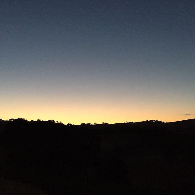
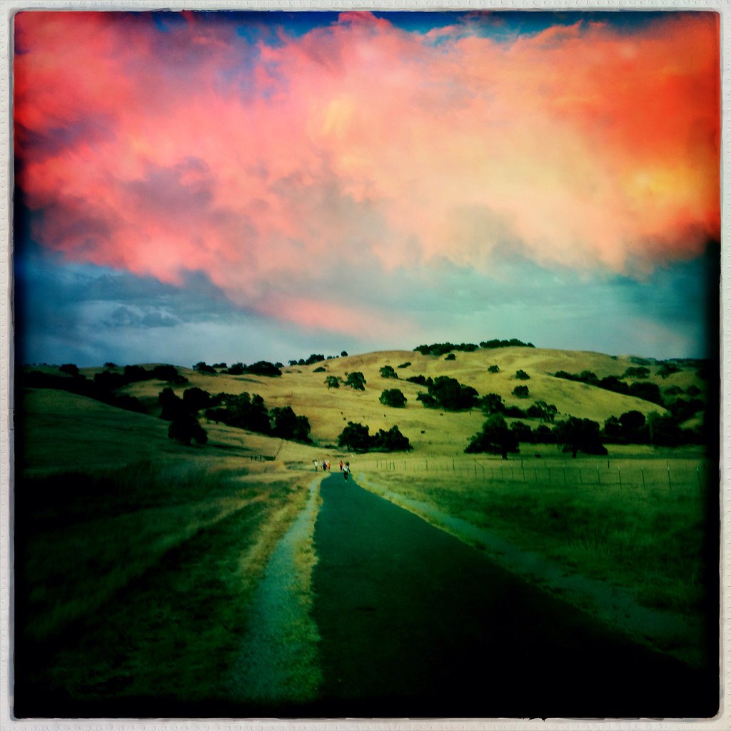
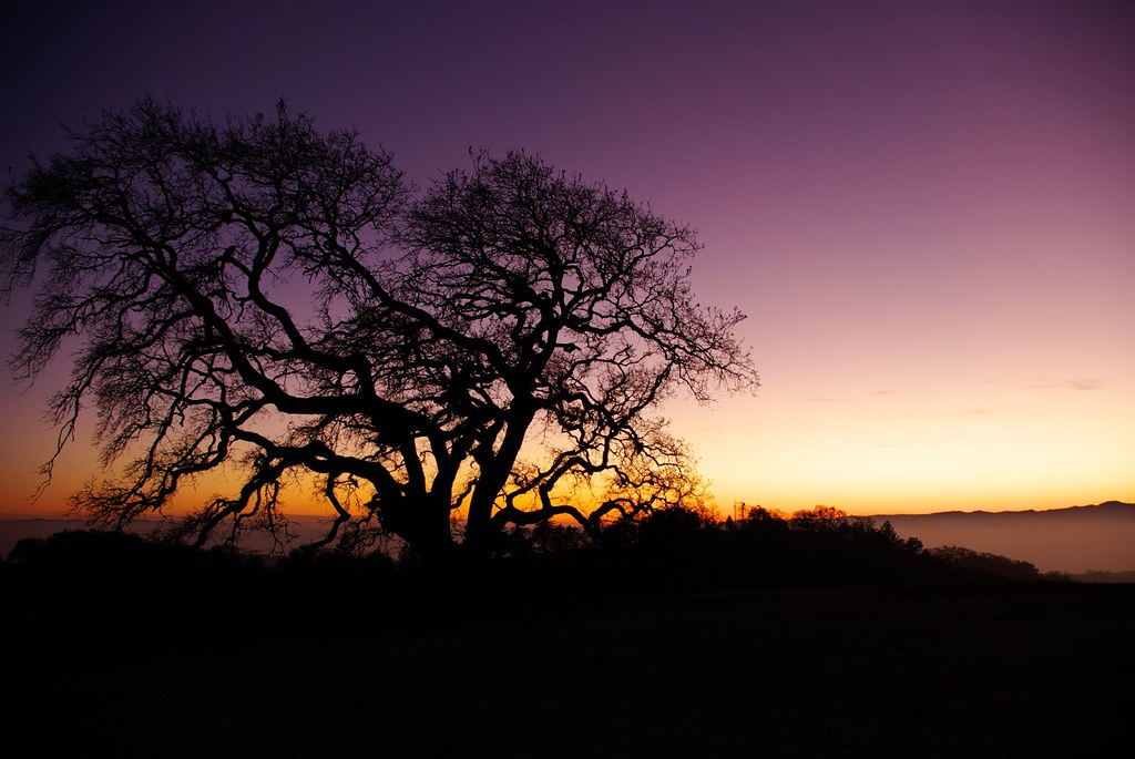
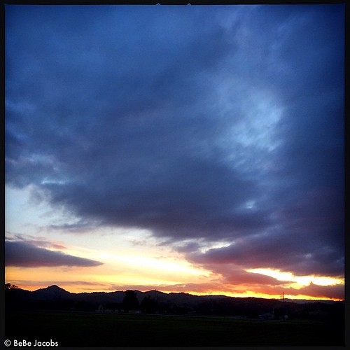
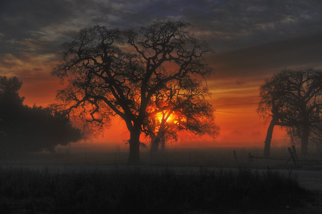
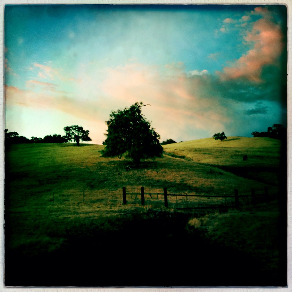
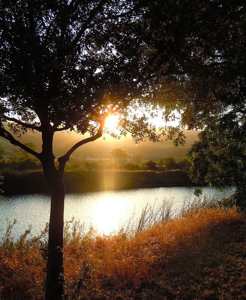
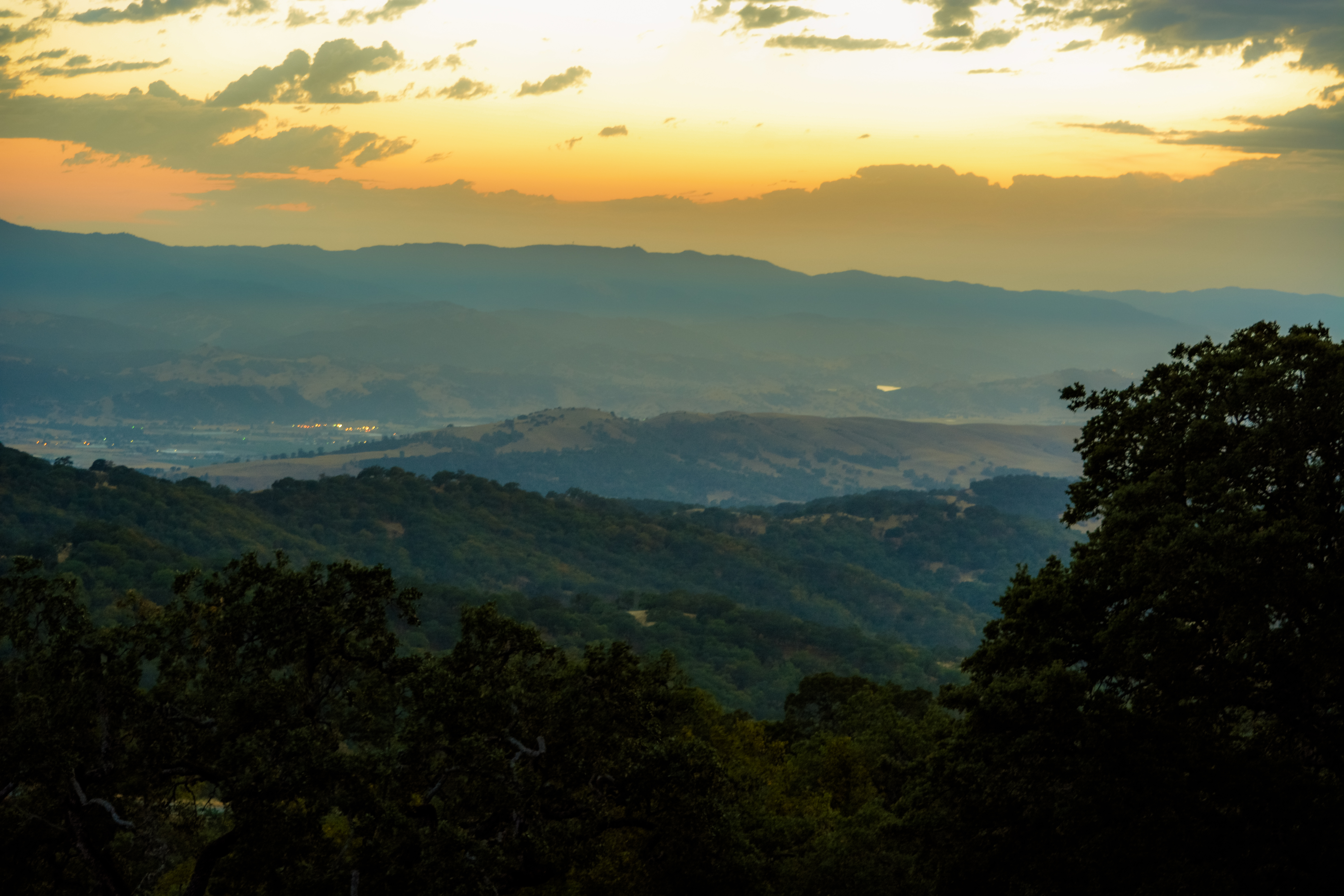
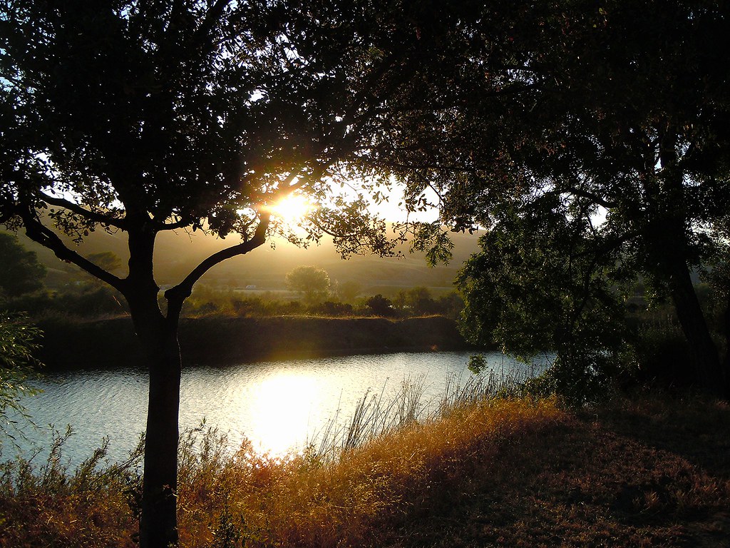
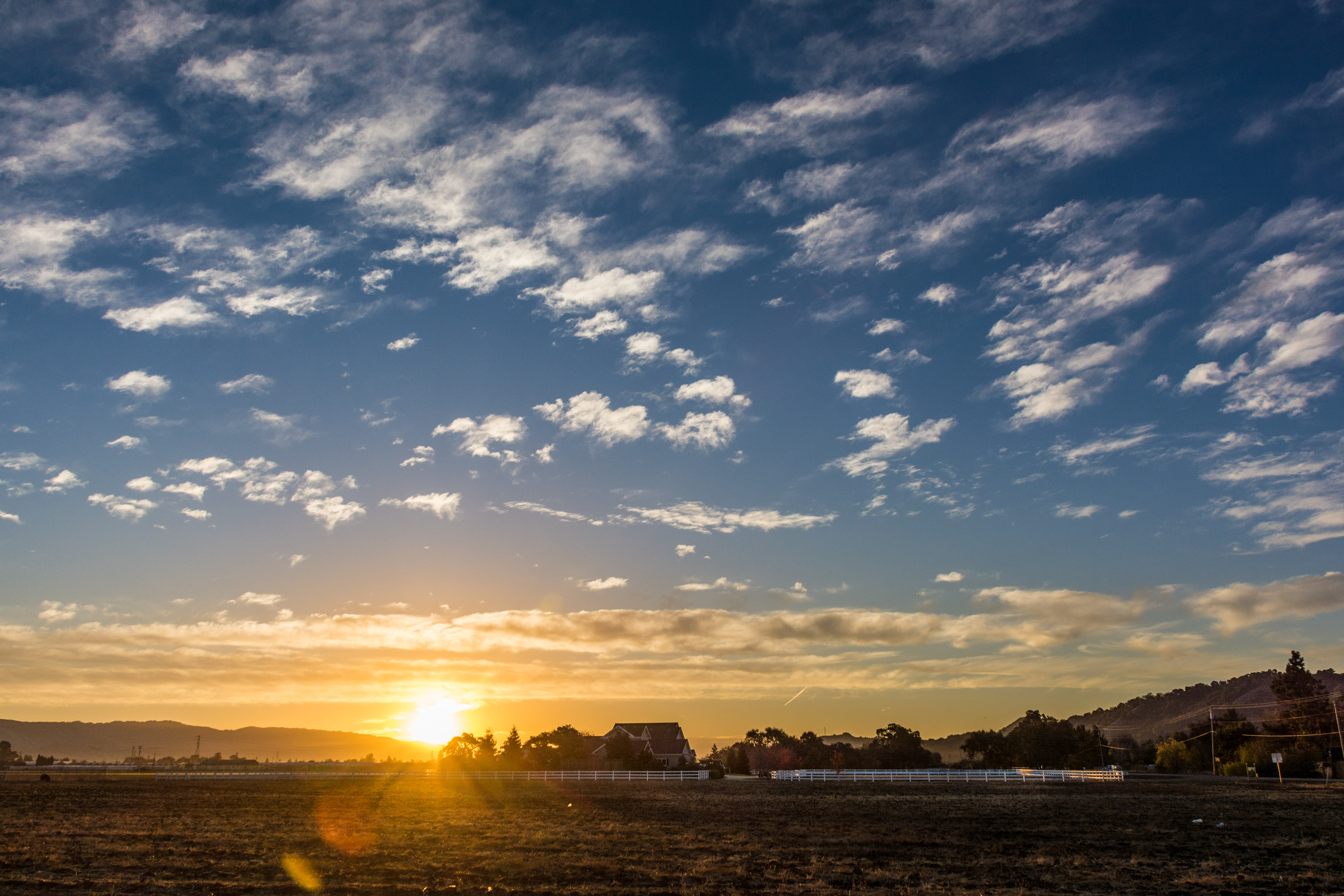
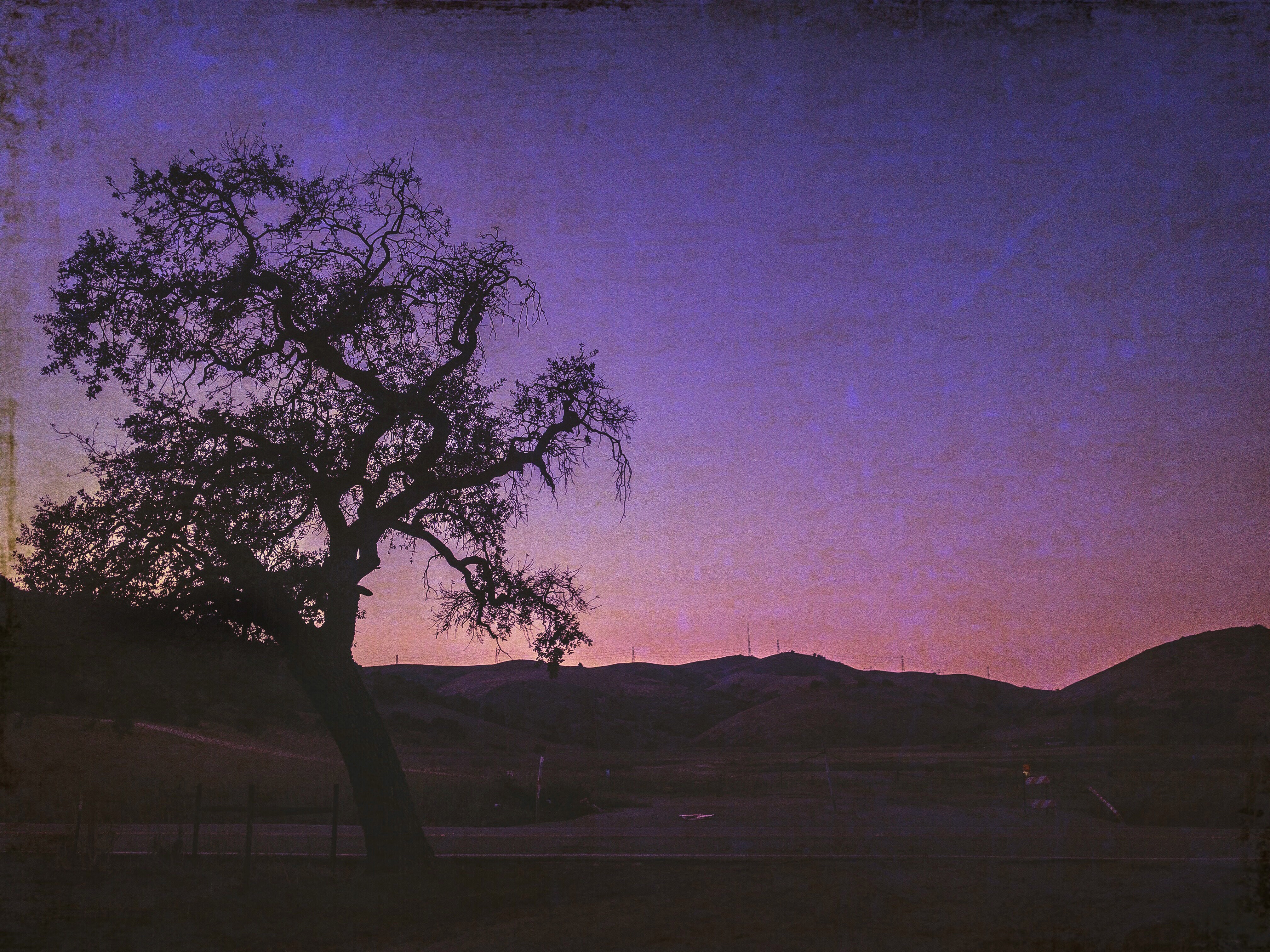
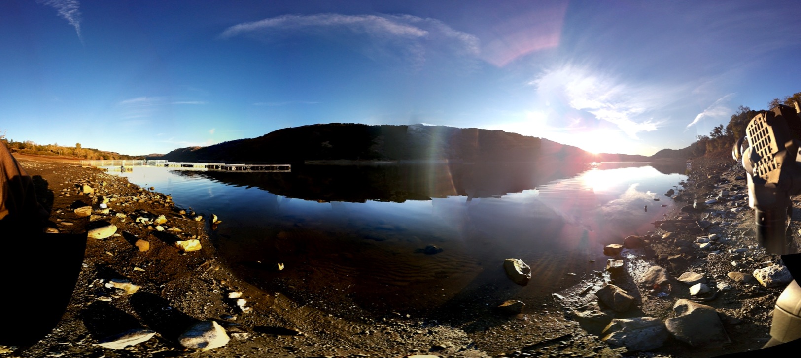
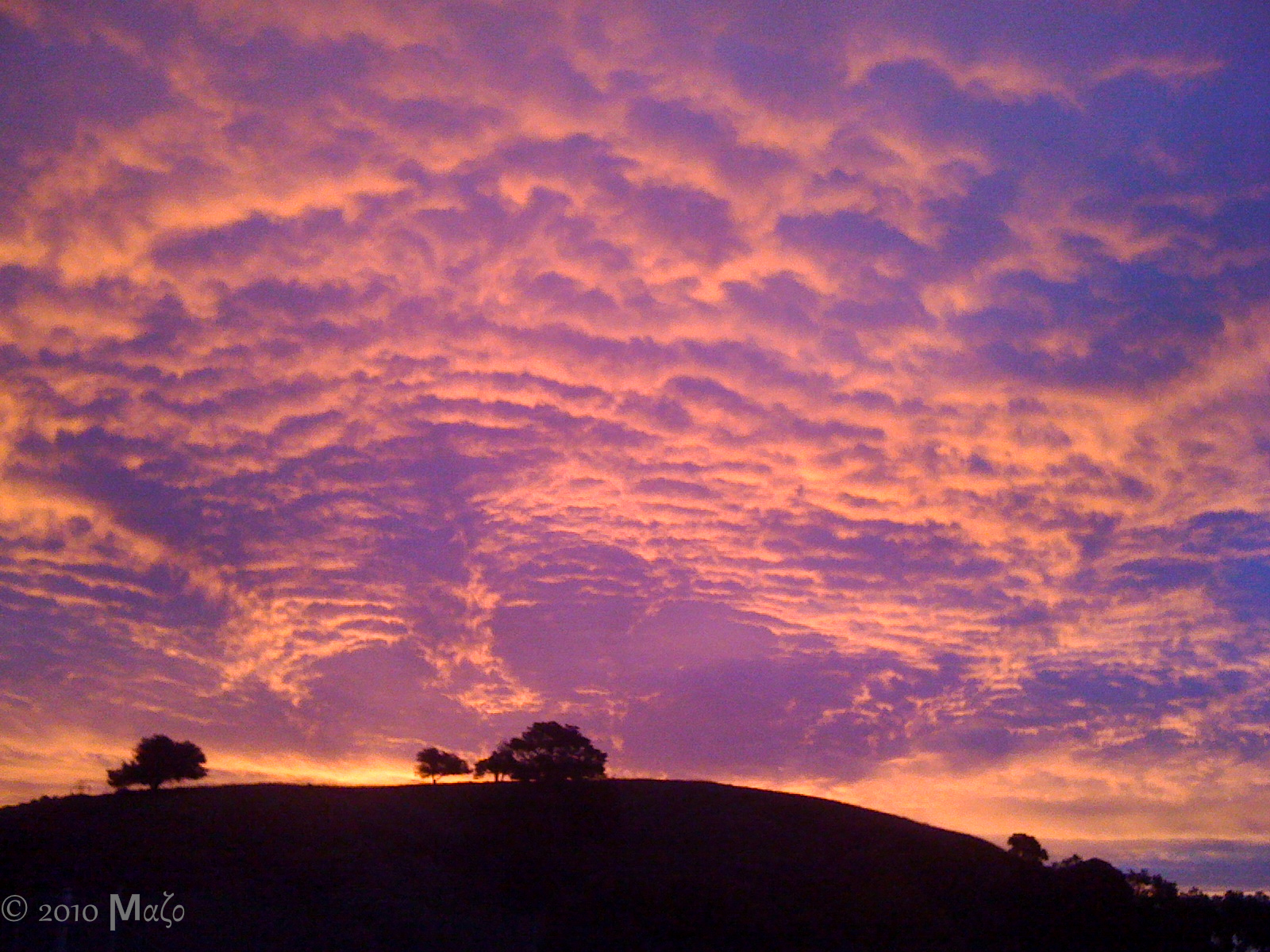
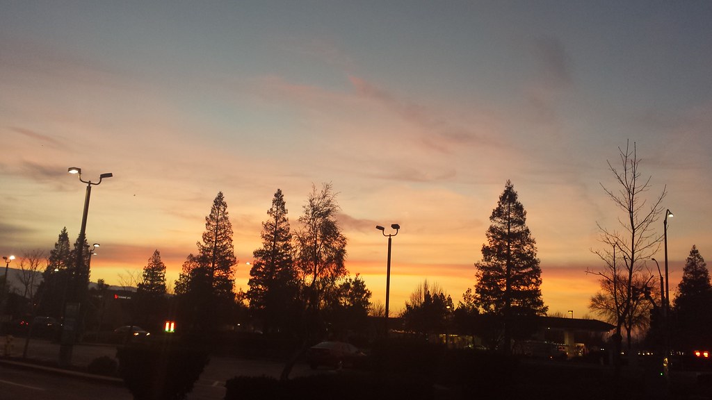
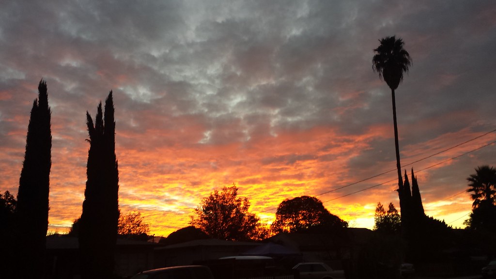
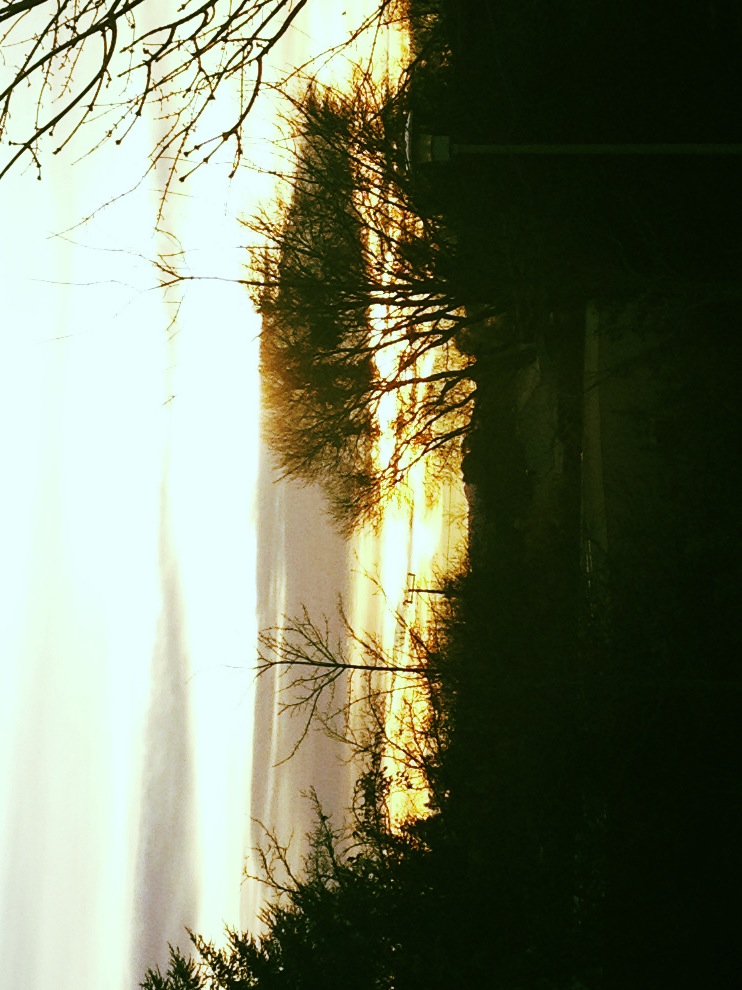
日出日落照片

Two Trees

Morgan Hill at dusk
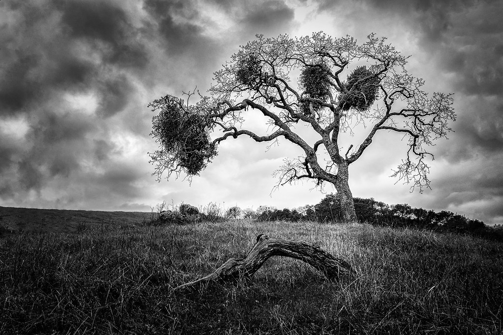
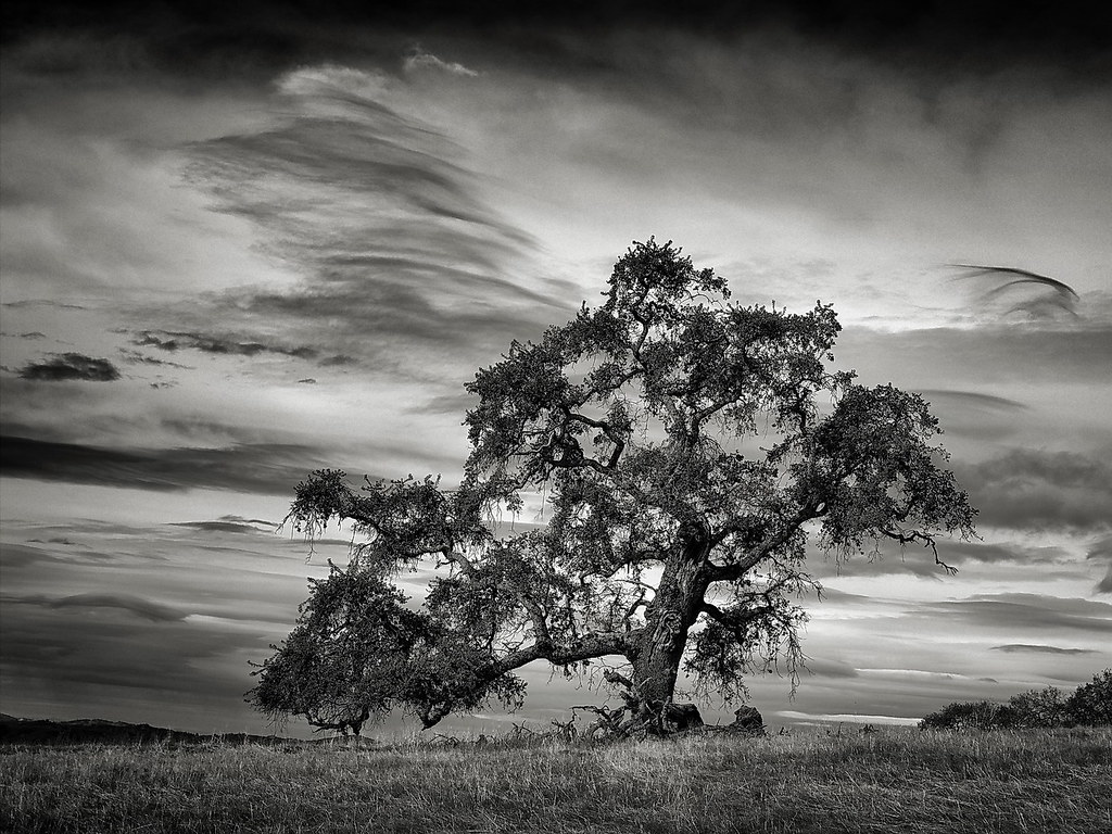
The Mistletoe Tree
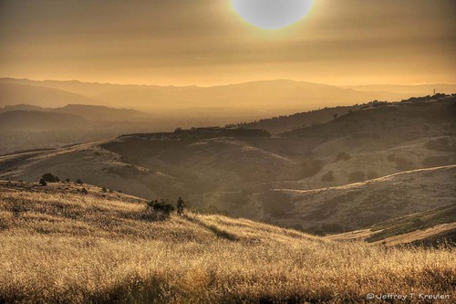
California Hills
Sunset on IBM Almaden Research Center

Red Creek from hill to the southeast
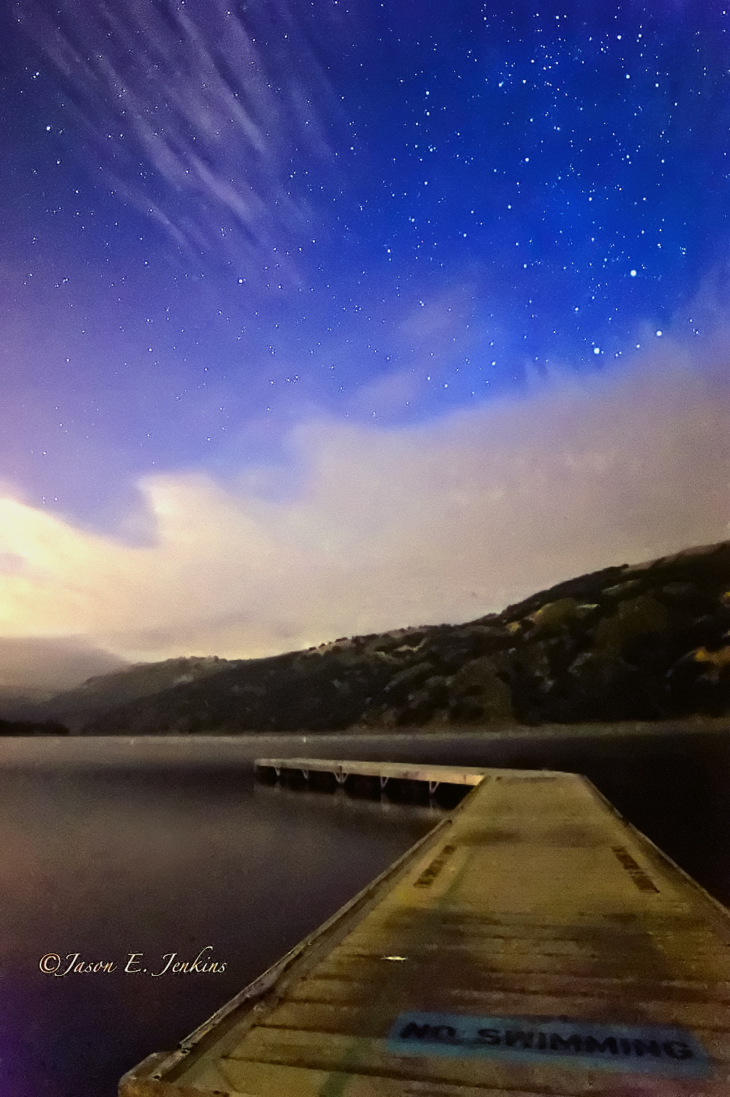
No swimming
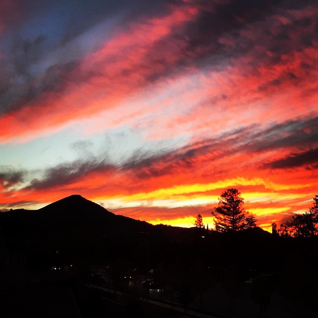
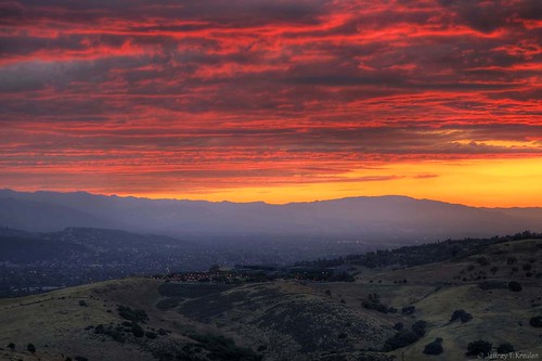
The sky's on fire!
A Tree near Springs Trail
Flat Frog Tree
Sunset at Henry Coe State Park
Sunset behind the mountain #wedding #morganhill #rcyun
Red Skies at Night

~~GilroyCalif/January2012 #1~~
Sunset at Henry Coe State Park
To my right. #sunset #101South #Gilroy
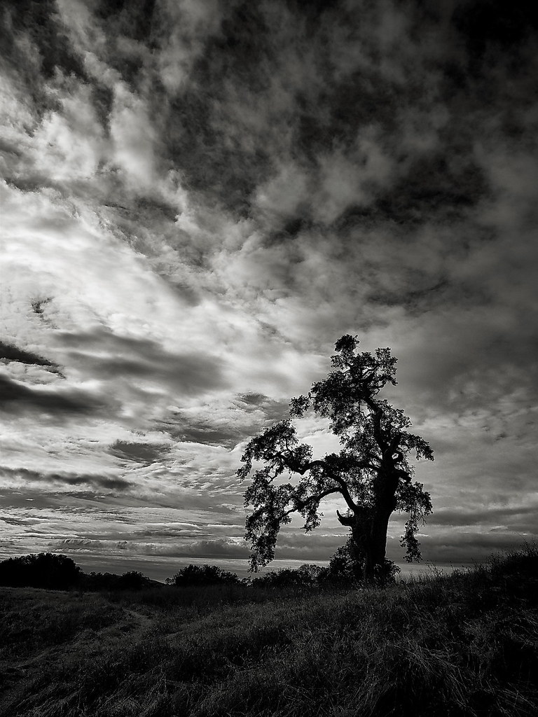
Oaks at Dawn
Sunset at Harvey Bear Park
~CayoteCreekReservoir/SanJose,Ca #1~
A Valley of Views
~CayoteCreekReservoir/SanJose,Ca #3~
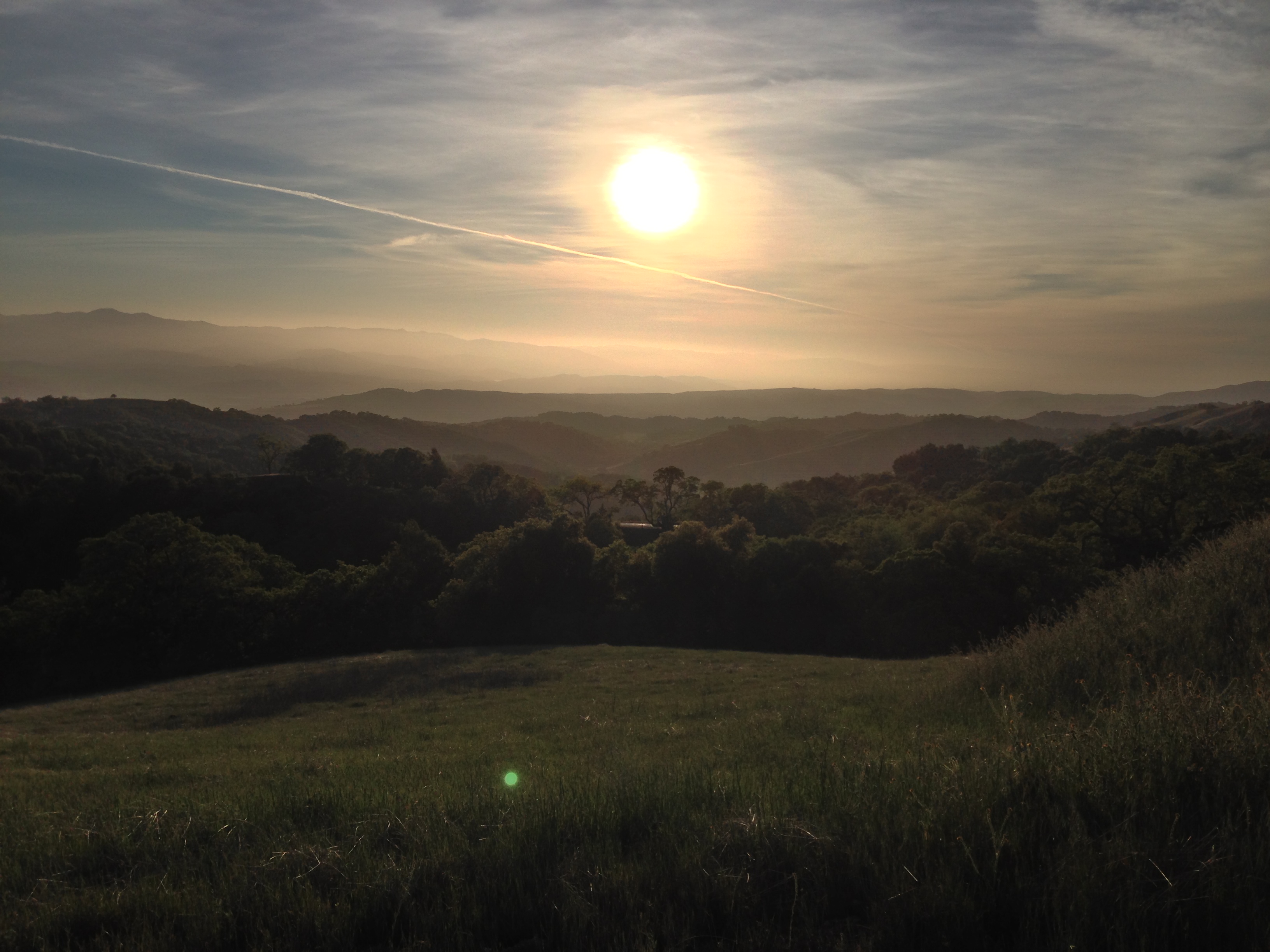
Sunrise in Morgan Hill
Week 49
WEEK 13 Story: Golden Hour

Faith Martinez First Birthday
Post meteor shower Sunrise
Before the invasion

south of Coyote Creek golf course, off 101
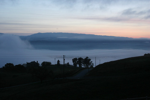
San Martin Fog
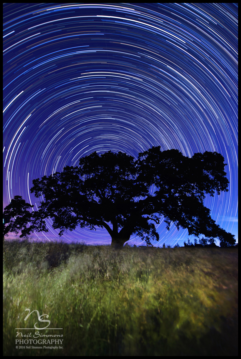
Star Trails Henry Coe State Park
Morning: sunrise.
Raleigh scattering...
Morgan Hill sunrise
Manzanita Dr, Morgan Hill, CA 美国的地图
查询其他地方的日出日落时间
附近地点
E Dunne Ave, Morgan Hill, CA 美国
Ridgeview Ct, Morgan Hill, CA 美国
Cimarron Dr, Morgan Hill, CA 美国
Anderson Dam Trail, Morgan Hill, CA 美国
Walnut Grove Dr, Morgan Hill, CA 美国
Eagle View Dr, Morgan Hill, CA 美国Eagle View Drive
Rising Sun Drive, Morgan Hill, CA 美国
Cochrane Rd, Morgan Hill, CA 美国Target
Markross Ct, Morgan Hill, CA 美国
Calle Viento, Morgan Hill, CA 美国
Columbet Ave, San Martin, CA 美国
Diana Ave, Morgan Hill, CA 美国
Center Ave, San Martin, CA 美国
美国加利福尼亚州摩根山丘
美国加利福尼亚州摩根山丘Main & Monterey
80 W Central Ave, Morgan Hill, CA 美国
San Felipe, CA, 美国
Monterey Rd, Morgan Hill, CA 美国
美国加利福尼亚州摩根山丘
E San Martin Ave, San Martin, CA 美国
最近搜索
- Red Dog Mine, AK, USA的日出日落时间表
- Am bhf, Borken, 德国Am Bahnhof的日出日落时间表
- 4th St E, Sonoma, CA 美国的日出日落时间表
- Oakland Ave, Williamsport, PA 美国的日出日落时间表
- Via Roma, Pieranica CR, Italy的日出日落时间表
- 克罗地亚杜布罗夫尼克 GradClock Tower of Dubrovnik的日出日落时间表
- 阿根廷丘布特省特雷利乌的日出日落时间表
- Hartfords Bluff Cir, Mt Pleasant, SC 美国的日出日落时间表
- 日本熊本县熊本市北区的日出日落时间表
- 中国福州市平潭县平潭岛的日出日落时间表