Ketch Pl, Cottonwood, CA 美国的日出日落时间表
Location: 美国 > 加利福尼亚州 > 沙斯塔 > 美国加利福尼亚州卡顿伍德 >
时区:
America/Los_Angeles
当地时间:
2025-06-12 20:07:48
经度:
-122.1967355
纬度:
40.3446387
今天日出时间:
05:38:09 AM
今天日落时间:
08:39:55 PM
今天日照时常:
15h 1m 46s
明天日出时间:
05:38:10 AM
明天日落时间:
08:40:20 PM
明天日照时常:
15h 2m 10s
显示所有日期
| 日期 | 日出 | 日落 | 日照时常 |
|---|---|---|---|
| 2025年01月01日 | 07:31:42 AM | 04:54:19 PM | 9h 22m 37s |
| 2025年01月02日 | 07:31:44 AM | 04:55:12 PM | 9h 23m 28s |
| 2025年01月03日 | 07:31:45 AM | 04:56:06 PM | 9h 24m 21s |
| 2025年01月04日 | 07:31:43 AM | 04:57:01 PM | 9h 25m 18s |
| 2025年01月05日 | 07:31:38 AM | 04:57:58 PM | 9h 26m 20s |
| 2025年01月06日 | 07:31:32 AM | 04:58:56 PM | 9h 27m 24s |
| 2025年01月07日 | 07:31:23 AM | 04:59:55 PM | 9h 28m 32s |
| 2025年01月08日 | 07:31:12 AM | 05:00:56 PM | 9h 29m 44s |
| 2025年01月09日 | 07:30:59 AM | 05:01:57 PM | 9h 30m 58s |
| 2025年01月10日 | 07:30:44 AM | 05:03:00 PM | 9h 32m 16s |
| 2025年01月11日 | 07:30:26 AM | 05:04:03 PM | 9h 33m 37s |
| 2025年01月12日 | 07:30:06 AM | 05:05:08 PM | 9h 35m 2s |
| 2025年01月13日 | 07:29:44 AM | 05:06:13 PM | 9h 36m 29s |
| 2025年01月14日 | 07:29:20 AM | 05:07:20 PM | 9h 38m 0s |
| 2025年01月15日 | 07:28:54 AM | 05:08:27 PM | 9h 39m 33s |
| 2025年01月16日 | 07:28:26 AM | 05:09:34 PM | 9h 41m 8s |
| 2025年01月17日 | 07:27:55 AM | 05:10:43 PM | 9h 42m 48s |
| 2025年01月18日 | 07:27:22 AM | 05:11:52 PM | 9h 44m 30s |
| 2025年01月19日 | 07:26:48 AM | 05:13:02 PM | 9h 46m 14s |
| 2025年01月20日 | 07:26:11 AM | 05:14:12 PM | 9h 48m 1s |
| 2025年01月21日 | 07:25:32 AM | 05:15:22 PM | 9h 49m 50s |
| 2025年01月22日 | 07:24:52 AM | 05:16:34 PM | 9h 51m 42s |
| 2025年01月23日 | 07:24:09 AM | 05:17:45 PM | 9h 53m 36s |
| 2025年01月24日 | 07:23:24 AM | 05:18:57 PM | 9h 55m 33s |
| 2025年01月25日 | 07:22:38 AM | 05:20:09 PM | 9h 57m 31s |
| 2025年01月26日 | 07:21:50 AM | 05:21:21 PM | 9h 59m 31s |
| 2025年01月27日 | 07:20:59 AM | 05:22:34 PM | 10h 1m 35s |
| 2025年01月28日 | 07:20:07 AM | 05:23:47 PM | 10h 3m 40s |
| 2025年01月29日 | 07:19:14 AM | 05:24:59 PM | 10h 5m 45s |
| 2025年01月30日 | 07:18:18 AM | 05:26:12 PM | 10h 7m 54s |
| 2025年01月31日 | 07:17:21 AM | 05:27:26 PM | 10h 10m 5s |
| 2025年02月01日 | 07:16:22 AM | 05:28:39 PM | 10h 12m 17s |
| 2025年02月02日 | 07:15:22 AM | 05:29:52 PM | 10h 14m 30s |
| 2025年02月03日 | 07:14:20 AM | 05:31:05 PM | 10h 16m 45s |
| 2025年02月04日 | 07:13:16 AM | 05:32:18 PM | 10h 19m 2s |
| 2025年02月05日 | 07:12:11 AM | 05:33:31 PM | 10h 21m 20s |
| 2025年02月06日 | 07:11:04 AM | 05:34:44 PM | 10h 23m 40s |
| 2025年02月07日 | 07:09:56 AM | 05:35:57 PM | 10h 26m 1s |
| 2025年02月08日 | 07:08:46 AM | 05:37:09 PM | 10h 28m 23s |
| 2025年02月09日 | 07:07:35 AM | 05:38:22 PM | 10h 30m 47s |
| 2025年02月10日 | 07:06:23 AM | 05:39:34 PM | 10h 33m 11s |
| 2025年02月11日 | 07:05:09 AM | 05:40:46 PM | 10h 35m 37s |
| 2025年02月12日 | 07:03:54 AM | 05:41:58 PM | 10h 38m 4s |
| 2025年02月13日 | 07:02:38 AM | 05:43:09 PM | 10h 40m 31s |
| 2025年02月14日 | 07:01:21 AM | 05:44:21 PM | 10h 43m 0s |
| 2025年02月15日 | 07:00:02 AM | 05:45:32 PM | 10h 45m 30s |
| 2025年02月16日 | 06:58:43 AM | 05:46:43 PM | 10h 48m 0s |
| 2025年02月17日 | 06:57:22 AM | 05:47:53 PM | 10h 50m 31s |
| 2025年02月18日 | 06:56:00 AM | 05:49:04 PM | 10h 53m 4s |
| 2025年02月19日 | 06:54:37 AM | 05:50:14 PM | 10h 55m 37s |
| 2025年02月20日 | 06:53:13 AM | 05:51:23 PM | 10h 58m 10s |
| 2025年02月21日 | 06:51:48 AM | 05:52:33 PM | 11h 0m 45s |
| 2025年02月22日 | 06:50:23 AM | 05:53:42 PM | 11h 3m 19s |
| 2025年02月23日 | 06:48:56 AM | 05:54:51 PM | 11h 5m 55s |
| 2025年02月24日 | 06:47:28 AM | 05:55:59 PM | 11h 8m 31s |
| 2025年02月25日 | 06:46:00 AM | 05:57:07 PM | 11h 11m 7s |
| 2025年02月26日 | 06:44:31 AM | 05:58:15 PM | 11h 13m 44s |
| 2025年02月27日 | 06:43:01 AM | 05:59:23 PM | 11h 16m 22s |
| 2025年02月28日 | 06:41:30 AM | 06:00:30 PM | 11h 19m 0s |
| 2025年03月01日 | 06:39:59 AM | 06:01:37 PM | 11h 21m 38s |
| 2025年03月02日 | 06:38:27 AM | 06:02:44 PM | 11h 24m 17s |
| 2025年03月03日 | 06:36:55 AM | 06:03:50 PM | 11h 26m 55s |
| 2025年03月04日 | 06:35:21 AM | 06:04:56 PM | 11h 29m 35s |
| 2025年03月05日 | 06:33:48 AM | 06:06:02 PM | 11h 32m 14s |
| 2025年03月06日 | 06:32:13 AM | 06:07:08 PM | 11h 34m 55s |
| 2025年03月07日 | 06:30:38 AM | 06:08:13 PM | 11h 37m 35s |
| 2025年03月08日 | 06:29:03 AM | 06:09:18 PM | 11h 40m 15s |
| 2025年03月09日 | 07:27:32 AM | 07:10:20 PM | 11h 42m 48s |
| 2025年03月10日 | 07:25:55 AM | 07:11:25 PM | 11h 45m 30s |
| 2025年03月11日 | 07:24:19 AM | 07:12:29 PM | 11h 48m 10s |
| 2025年03月12日 | 07:22:42 AM | 07:13:33 PM | 11h 50m 51s |
| 2025年03月13日 | 07:21:05 AM | 07:14:37 PM | 11h 53m 32s |
| 2025年03月14日 | 07:19:28 AM | 07:15:41 PM | 11h 56m 13s |
| 2025年03月15日 | 07:17:50 AM | 07:16:45 PM | 11h 58m 55s |
| 2025年03月16日 | 07:16:12 AM | 07:17:48 PM | 12h 1m 36s |
| 2025年03月17日 | 07:14:34 AM | 07:18:51 PM | 12h 4m 17s |
| 2025年03月18日 | 07:12:56 AM | 07:19:54 PM | 12h 6m 58s |
| 2025年03月19日 | 07:11:18 AM | 07:20:57 PM | 12h 9m 39s |
| 2025年03月20日 | 07:09:40 AM | 07:22:00 PM | 12h 12m 20s |
| 2025年03月21日 | 07:08:01 AM | 07:23:02 PM | 12h 15m 1s |
| 2025年03月22日 | 07:06:23 AM | 07:24:05 PM | 12h 17m 42s |
| 2025年03月23日 | 07:04:44 AM | 07:25:07 PM | 12h 20m 23s |
| 2025年03月24日 | 07:03:06 AM | 07:26:09 PM | 12h 23m 3s |
| 2025年03月25日 | 07:01:27 AM | 07:27:11 PM | 12h 25m 44s |
| 2025年03月26日 | 06:59:49 AM | 07:28:14 PM | 12h 28m 25s |
| 2025年03月27日 | 06:58:11 AM | 07:29:15 PM | 12h 31m 4s |
| 2025年03月28日 | 06:56:33 AM | 07:30:17 PM | 12h 33m 44s |
| 2025年03月29日 | 06:54:55 AM | 07:31:19 PM | 12h 36m 24s |
| 2025年03月30日 | 06:53:18 AM | 07:32:21 PM | 12h 39m 3s |
| 2025年03月31日 | 06:51:40 AM | 07:33:23 PM | 12h 41m 43s |
| 2025年04月01日 | 06:50:03 AM | 07:34:25 PM | 12h 44m 22s |
| 2025年04月02日 | 06:48:26 AM | 07:35:26 PM | 12h 47m 0s |
| 2025年04月03日 | 06:46:50 AM | 07:36:28 PM | 12h 49m 38s |
| 2025年04月04日 | 06:45:14 AM | 07:37:30 PM | 12h 52m 16s |
| 2025年04月05日 | 06:43:38 AM | 07:38:31 PM | 12h 54m 53s |
| 2025年04月06日 | 06:42:03 AM | 07:39:33 PM | 12h 57m 30s |
| 2025年04月07日 | 06:40:28 AM | 07:40:35 PM | 13h 0m 7s |
| 2025年04月08日 | 06:38:54 AM | 07:41:37 PM | 13h 2m 43s |
| 2025年04月09日 | 06:37:20 AM | 07:42:38 PM | 13h 5m 18s |
| 2025年04月10日 | 06:35:47 AM | 07:43:40 PM | 13h 7m 53s |
| 2025年04月11日 | 06:34:14 AM | 07:44:42 PM | 13h 10m 28s |
| 2025年04月12日 | 06:32:42 AM | 07:45:44 PM | 13h 13m 2s |
| 2025年04月13日 | 06:31:10 AM | 07:46:45 PM | 13h 15m 35s |
| 2025年04月14日 | 06:29:40 AM | 07:47:47 PM | 13h 18m 7s |
| 2025年04月15日 | 06:28:10 AM | 07:48:49 PM | 13h 20m 39s |
| 2025年04月16日 | 06:26:40 AM | 07:49:51 PM | 13h 23m 11s |
| 2025年04月17日 | 06:25:12 AM | 07:50:53 PM | 13h 25m 41s |
| 2025年04月18日 | 06:23:44 AM | 07:51:55 PM | 13h 28m 11s |
| 2025年04月19日 | 06:22:17 AM | 07:52:57 PM | 13h 30m 40s |
| 2025年04月20日 | 06:20:51 AM | 07:53:59 PM | 13h 33m 8s |
| 2025年04月21日 | 06:19:26 AM | 07:55:01 PM | 13h 35m 35s |
| 2025年04月22日 | 06:18:02 AM | 07:56:02 PM | 13h 38m 0s |
| 2025年04月23日 | 06:16:38 AM | 07:57:04 PM | 13h 40m 26s |
| 2025年04月24日 | 06:15:16 AM | 07:58:06 PM | 13h 42m 50s |
| 2025年04月25日 | 06:13:55 AM | 07:59:08 PM | 13h 45m 13s |
| 2025年04月26日 | 06:12:34 AM | 08:00:10 PM | 13h 47m 36s |
| 2025年04月27日 | 06:11:15 AM | 08:01:12 PM | 13h 49m 57s |
| 2025年04月28日 | 06:09:57 AM | 08:02:13 PM | 13h 52m 16s |
| 2025年04月29日 | 06:08:40 AM | 08:03:15 PM | 13h 54m 35s |
| 2025年04月30日 | 06:07:25 AM | 08:04:16 PM | 13h 56m 51s |
| 2025年05月01日 | 06:06:10 AM | 08:05:17 PM | 13h 59m 7s |
| 2025年05月02日 | 06:04:57 AM | 08:06:19 PM | 14h 1m 22s |
| 2025年05月03日 | 06:03:45 AM | 08:07:20 PM | 14h 3m 35s |
| 2025年05月04日 | 06:02:34 AM | 08:08:20 PM | 14h 5m 46s |
| 2025年05月05日 | 06:01:25 AM | 08:09:21 PM | 14h 7m 56s |
| 2025年05月06日 | 06:00:17 AM | 08:10:21 PM | 14h 10m 4s |
| 2025年05月07日 | 05:59:10 AM | 08:11:21 PM | 14h 12m 11s |
| 2025年05月08日 | 05:58:05 AM | 08:12:21 PM | 14h 14m 16s |
| 2025年05月09日 | 05:57:01 AM | 08:13:21 PM | 14h 16m 20s |
| 2025年05月10日 | 05:55:59 AM | 08:14:20 PM | 14h 18m 21s |
| 2025年05月11日 | 05:54:58 AM | 08:15:19 PM | 14h 20m 21s |
| 2025年05月12日 | 05:53:59 AM | 08:16:17 PM | 14h 22m 18s |
| 2025年05月13日 | 05:53:02 AM | 08:17:15 PM | 14h 24m 13s |
| 2025年05月14日 | 05:52:06 AM | 08:18:12 PM | 14h 26m 6s |
| 2025年05月15日 | 05:51:11 AM | 08:19:09 PM | 14h 27m 58s |
| 2025年05月16日 | 05:50:19 AM | 08:20:06 PM | 14h 29m 47s |
| 2025年05月17日 | 05:49:27 AM | 08:21:02 PM | 14h 31m 35s |
| 2025年05月18日 | 05:48:38 AM | 08:21:57 PM | 14h 33m 19s |
| 2025年05月19日 | 05:47:50 AM | 08:22:52 PM | 14h 35m 2s |
| 2025年05月20日 | 05:47:05 AM | 08:23:46 PM | 14h 36m 41s |
| 2025年05月21日 | 05:46:21 AM | 08:24:39 PM | 14h 38m 18s |
| 2025年05月22日 | 05:45:38 AM | 08:25:31 PM | 14h 39m 53s |
| 2025年05月23日 | 05:44:58 AM | 08:26:23 PM | 14h 41m 25s |
| 2025年05月24日 | 05:44:19 AM | 08:27:14 PM | 14h 42m 55s |
| 2025年05月25日 | 05:43:42 AM | 08:28:04 PM | 14h 44m 22s |
| 2025年05月26日 | 05:43:07 AM | 08:28:53 PM | 14h 45m 46s |
| 2025年05月27日 | 05:42:34 AM | 08:29:41 PM | 14h 47m 7s |
| 2025年05月28日 | 05:42:03 AM | 08:30:28 PM | 14h 48m 25s |
| 2025年05月29日 | 05:41:34 AM | 08:31:14 PM | 14h 49m 40s |
| 2025年05月30日 | 05:41:07 AM | 08:31:59 PM | 14h 50m 52s |
| 2025年05月31日 | 05:40:41 AM | 08:32:43 PM | 14h 52m 2s |
| 2025年06月01日 | 05:40:18 AM | 08:33:26 PM | 14h 53m 8s |
| 2025年06月02日 | 05:39:56 AM | 08:34:07 PM | 14h 54m 11s |
| 2025年06月03日 | 05:39:37 AM | 08:34:47 PM | 14h 55m 10s |
| 2025年06月04日 | 05:39:19 AM | 08:35:26 PM | 14h 56m 7s |
| 2025年06月05日 | 05:39:04 AM | 08:36:04 PM | 14h 57m 0s |
| 2025年06月06日 | 05:38:50 AM | 08:36:40 PM | 14h 57m 50s |
| 2025年06月07日 | 05:38:38 AM | 08:37:14 PM | 14h 58m 36s |
| 2025年06月08日 | 05:38:29 AM | 08:37:48 PM | 14h 59m 19s |
| 2025年06月09日 | 05:38:21 AM | 08:38:19 PM | 14h 59m 58s |
| 2025年06月10日 | 05:38:15 AM | 08:38:50 PM | 15h 0m 35s |
| 2025年06月11日 | 05:38:11 AM | 08:39:18 PM | 15h 1m 7s |
| 2025年06月12日 | 05:38:09 AM | 08:39:45 PM | 15h 1m 36s |
| 2025年06月13日 | 05:38:09 AM | 08:40:11 PM | 15h 2m 2s |
| 2025年06月14日 | 05:38:11 AM | 08:40:34 PM | 15h 2m 23s |
| 2025年06月15日 | 05:38:15 AM | 08:40:56 PM | 15h 2m 41s |
| 2025年06月16日 | 05:38:21 AM | 08:41:17 PM | 15h 2m 56s |
| 2025年06月17日 | 05:38:29 AM | 08:41:35 PM | 15h 3m 6s |
| 2025年06月18日 | 05:38:38 AM | 08:41:52 PM | 15h 3m 14s |
| 2025年06月19日 | 05:38:50 AM | 08:42:07 PM | 15h 3m 17s |
| 2025年06月20日 | 05:39:03 AM | 08:42:20 PM | 15h 3m 17s |
| 2025年06月21日 | 05:39:18 AM | 08:42:31 PM | 15h 3m 13s |
| 2025年06月22日 | 05:39:34 AM | 08:42:40 PM | 15h 3m 6s |
| 2025年06月23日 | 05:39:53 AM | 08:42:47 PM | 15h 2m 54s |
| 2025年06月24日 | 05:40:13 AM | 08:42:53 PM | 15h 2m 40s |
| 2025年06月25日 | 05:40:34 AM | 08:42:56 PM | 15h 2m 22s |
| 2025年06月26日 | 05:40:58 AM | 08:42:58 PM | 15h 2m 0s |
| 2025年06月27日 | 05:41:23 AM | 08:42:57 PM | 15h 1m 34s |
| 2025年06月28日 | 05:41:49 AM | 08:42:55 PM | 15h 1m 6s |
| 2025年06月29日 | 05:42:18 AM | 08:42:50 PM | 15h 0m 32s |
| 2025年06月30日 | 05:42:47 AM | 08:42:44 PM | 14h 59m 57s |
| 2025年07月01日 | 05:43:18 AM | 08:42:35 PM | 14h 59m 17s |
| 2025年07月02日 | 05:43:51 AM | 08:42:25 PM | 14h 58m 34s |
| 2025年07月03日 | 05:44:24 AM | 08:42:12 PM | 14h 57m 48s |
| 2025年07月04日 | 05:45:00 AM | 08:41:58 PM | 14h 56m 58s |
| 2025年07月05日 | 05:45:36 AM | 08:41:41 PM | 14h 56m 5s |
| 2025年07月06日 | 05:46:14 AM | 08:41:23 PM | 14h 55m 9s |
| 2025年07月07日 | 05:46:53 AM | 08:41:02 PM | 14h 54m 9s |
| 2025年07月08日 | 05:47:33 AM | 08:40:40 PM | 14h 53m 7s |
| 2025年07月09日 | 05:48:14 AM | 08:40:15 PM | 14h 52m 1s |
| 2025年07月10日 | 05:48:57 AM | 08:39:49 PM | 14h 50m 52s |
| 2025年07月11日 | 05:49:40 AM | 08:39:20 PM | 14h 49m 40s |
| 2025年07月12日 | 05:50:25 AM | 08:38:50 PM | 14h 48m 25s |
| 2025年07月13日 | 05:51:10 AM | 08:38:18 PM | 14h 47m 8s |
| 2025年07月14日 | 05:51:57 AM | 08:37:43 PM | 14h 45m 46s |
| 2025年07月15日 | 05:52:44 AM | 08:37:07 PM | 14h 44m 23s |
| 2025年07月16日 | 05:53:32 AM | 08:36:29 PM | 14h 42m 57s |
| 2025年07月17日 | 05:54:21 AM | 08:35:49 PM | 14h 41m 28s |
| 2025年07月18日 | 05:55:10 AM | 08:35:07 PM | 14h 39m 57s |
| 2025年07月19日 | 05:56:01 AM | 08:34:24 PM | 14h 38m 23s |
| 2025年07月20日 | 05:56:52 AM | 08:33:38 PM | 14h 36m 46s |
| 2025年07月21日 | 05:57:43 AM | 08:32:51 PM | 14h 35m 8s |
| 2025年07月22日 | 05:58:36 AM | 08:32:02 PM | 14h 33m 26s |
| 2025年07月23日 | 05:59:29 AM | 08:31:11 PM | 14h 31m 42s |
| 2025年07月24日 | 06:00:22 AM | 08:30:19 PM | 14h 29m 57s |
| 2025年07月25日 | 06:01:16 AM | 08:29:25 PM | 14h 28m 9s |
| 2025年07月26日 | 06:02:10 AM | 08:28:29 PM | 14h 26m 19s |
| 2025年07月27日 | 06:03:05 AM | 08:27:31 PM | 14h 24m 26s |
| 2025年07月28日 | 06:04:00 AM | 08:26:32 PM | 14h 22m 32s |
| 2025年07月29日 | 06:04:56 AM | 08:25:32 PM | 14h 20m 36s |
| 2025年07月30日 | 06:05:52 AM | 08:24:30 PM | 14h 18m 38s |
| 2025年07月31日 | 06:06:48 AM | 08:23:26 PM | 14h 16m 38s |
| 2025年08月01日 | 06:07:44 AM | 08:22:21 PM | 14h 14m 37s |
| 2025年08月02日 | 06:08:41 AM | 08:21:14 PM | 14h 12m 33s |
| 2025年08月03日 | 06:09:38 AM | 08:20:06 PM | 14h 10m 28s |
| 2025年08月04日 | 06:10:35 AM | 08:18:56 PM | 14h 8m 21s |
| 2025年08月05日 | 06:11:33 AM | 08:17:45 PM | 14h 6m 12s |
| 2025年08月06日 | 06:12:30 AM | 08:16:33 PM | 14h 4m 3s |
| 2025年08月07日 | 06:13:28 AM | 08:15:20 PM | 14h 1m 52s |
| 2025年08月08日 | 06:14:26 AM | 08:14:05 PM | 13h 59m 39s |
| 2025年08月09日 | 06:15:23 AM | 08:12:49 PM | 13h 57m 26s |
| 2025年08月10日 | 06:16:21 AM | 08:11:31 PM | 13h 55m 10s |
| 2025年08月11日 | 06:17:19 AM | 08:10:13 PM | 13h 52m 54s |
| 2025年08月12日 | 06:18:17 AM | 08:08:53 PM | 13h 50m 36s |
| 2025年08月13日 | 06:19:15 AM | 08:07:33 PM | 13h 48m 18s |
| 2025年08月14日 | 06:20:13 AM | 08:06:11 PM | 13h 45m 58s |
| 2025年08月15日 | 06:21:12 AM | 08:04:48 PM | 13h 43m 36s |
| 2025年08月16日 | 06:22:10 AM | 08:03:24 PM | 13h 41m 14s |
| 2025年08月17日 | 06:23:08 AM | 08:01:59 PM | 13h 38m 51s |
| 2025年08月18日 | 06:24:06 AM | 08:00:33 PM | 13h 36m 27s |
| 2025年08月19日 | 06:25:04 AM | 07:59:06 PM | 13h 34m 2s |
| 2025年08月20日 | 06:26:02 AM | 07:57:39 PM | 13h 31m 37s |
| 2025年08月21日 | 06:27:00 AM | 07:56:10 PM | 13h 29m 10s |
| 2025年08月22日 | 06:27:58 AM | 07:54:41 PM | 13h 26m 43s |
| 2025年08月23日 | 06:28:55 AM | 07:53:10 PM | 13h 24m 15s |
| 2025年08月24日 | 06:29:53 AM | 07:51:39 PM | 13h 21m 46s |
| 2025年08月25日 | 06:30:51 AM | 07:50:08 PM | 13h 19m 17s |
| 2025年08月26日 | 06:31:49 AM | 07:48:35 PM | 13h 16m 46s |
| 2025年08月27日 | 06:32:46 AM | 07:47:02 PM | 13h 14m 16s |
| 2025年08月28日 | 06:33:44 AM | 07:45:28 PM | 13h 11m 44s |
| 2025年08月29日 | 06:34:42 AM | 07:43:54 PM | 13h 9m 12s |
| 2025年08月30日 | 06:35:39 AM | 07:42:19 PM | 13h 6m 40s |
| 2025年08月31日 | 06:36:36 AM | 07:40:43 PM | 13h 4m 7s |
| 2025年09月01日 | 06:37:34 AM | 07:39:07 PM | 13h 1m 33s |
| 2025年09月02日 | 06:38:31 AM | 07:37:30 PM | 12h 58m 59s |
| 2025年09月03日 | 06:39:29 AM | 07:35:53 PM | 12h 56m 24s |
| 2025年09月04日 | 06:40:26 AM | 07:34:16 PM | 12h 53m 50s |
| 2025年09月05日 | 06:41:23 AM | 07:32:38 PM | 12h 51m 15s |
| 2025年09月06日 | 06:42:20 AM | 07:31:00 PM | 12h 48m 40s |
| 2025年09月07日 | 06:43:18 AM | 07:29:21 PM | 12h 46m 3s |
| 2025年09月08日 | 06:44:15 AM | 07:27:42 PM | 12h 43m 27s |
| 2025年09月09日 | 06:45:12 AM | 07:26:03 PM | 12h 40m 51s |
| 2025年09月10日 | 06:46:10 AM | 07:24:23 PM | 12h 38m 13s |
| 2025年09月11日 | 06:47:07 AM | 07:22:43 PM | 12h 35m 36s |
| 2025年09月12日 | 06:48:04 AM | 07:21:03 PM | 12h 32m 59s |
| 2025年09月13日 | 06:49:02 AM | 07:19:23 PM | 12h 30m 21s |
| 2025年09月14日 | 06:49:59 AM | 07:17:43 PM | 12h 27m 44s |
| 2025年09月15日 | 06:50:57 AM | 07:16:02 PM | 12h 25m 5s |
| 2025年09月16日 | 06:51:54 AM | 07:14:22 PM | 12h 22m 28s |
| 2025年09月17日 | 06:52:52 AM | 07:12:41 PM | 12h 19m 49s |
| 2025年09月18日 | 06:53:50 AM | 07:11:01 PM | 12h 17m 11s |
| 2025年09月19日 | 06:54:48 AM | 07:09:20 PM | 12h 14m 32s |
| 2025年09月20日 | 06:55:46 AM | 07:07:40 PM | 12h 11m 54s |
| 2025年09月21日 | 06:56:44 AM | 07:05:59 PM | 12h 9m 15s |
| 2025年09月22日 | 06:57:42 AM | 07:04:19 PM | 12h 6m 37s |
| 2025年09月23日 | 06:58:40 AM | 07:02:39 PM | 12h 3m 59s |
| 2025年09月24日 | 06:59:39 AM | 07:00:58 PM | 12h 1m 19s |
| 2025年09月25日 | 07:00:38 AM | 06:59:18 PM | 11h 58m 40s |
| 2025年09月26日 | 07:01:37 AM | 06:57:39 PM | 11h 56m 2s |
| 2025年09月27日 | 07:02:36 AM | 06:55:59 PM | 11h 53m 23s |
| 2025年09月28日 | 07:03:35 AM | 06:54:20 PM | 11h 50m 45s |
| 2025年09月29日 | 07:04:35 AM | 06:52:41 PM | 11h 48m 6s |
| 2025年09月30日 | 07:05:35 AM | 06:51:03 PM | 11h 45m 28s |
| 2025年10月01日 | 07:06:35 AM | 06:49:24 PM | 11h 42m 49s |
| 2025年10月02日 | 07:07:35 AM | 06:47:47 PM | 11h 40m 12s |
| 2025年10月03日 | 07:08:35 AM | 06:46:09 PM | 11h 37m 34s |
| 2025年10月04日 | 07:09:36 AM | 06:44:32 PM | 11h 34m 56s |
| 2025年10月05日 | 07:10:37 AM | 06:42:56 PM | 11h 32m 19s |
| 2025年10月06日 | 07:11:39 AM | 06:41:20 PM | 11h 29m 41s |
| 2025年10月07日 | 07:12:40 AM | 06:39:45 PM | 11h 27m 5s |
| 2025年10月08日 | 07:13:42 AM | 06:38:10 PM | 11h 24m 28s |
| 2025年10月09日 | 07:14:45 AM | 06:36:36 PM | 11h 21m 51s |
| 2025年10月10日 | 07:15:47 AM | 06:35:02 PM | 11h 19m 15s |
| 2025年10月11日 | 07:16:50 AM | 06:33:30 PM | 11h 16m 40s |
| 2025年10月12日 | 07:17:53 AM | 06:31:57 PM | 11h 14m 4s |
| 2025年10月13日 | 07:18:57 AM | 06:30:26 PM | 11h 11m 29s |
| 2025年10月14日 | 07:20:01 AM | 06:28:55 PM | 11h 8m 54s |
| 2025年10月15日 | 07:21:05 AM | 06:27:26 PM | 11h 6m 21s |
| 2025年10月16日 | 07:22:09 AM | 06:25:57 PM | 11h 3m 48s |
| 2025年10月17日 | 07:23:14 AM | 06:24:29 PM | 11h 1m 15s |
| 2025年10月18日 | 07:24:19 AM | 06:23:02 PM | 10h 58m 43s |
| 2025年10月19日 | 07:25:25 AM | 06:21:35 PM | 10h 56m 10s |
| 2025年10月20日 | 07:26:31 AM | 06:20:10 PM | 10h 53m 39s |
| 2025年10月21日 | 07:27:37 AM | 06:18:46 PM | 10h 51m 9s |
| 2025年10月22日 | 07:28:43 AM | 06:17:23 PM | 10h 48m 40s |
| 2025年10月23日 | 07:29:50 AM | 06:16:01 PM | 10h 46m 11s |
| 2025年10月24日 | 07:30:57 AM | 06:14:40 PM | 10h 43m 43s |
| 2025年10月25日 | 07:32:04 AM | 06:13:20 PM | 10h 41m 16s |
| 2025年10月26日 | 07:33:12 AM | 06:12:02 PM | 10h 38m 50s |
| 2025年10月27日 | 07:34:20 AM | 06:10:44 PM | 10h 36m 24s |
| 2025年10月28日 | 07:35:28 AM | 06:09:28 PM | 10h 34m 0s |
| 2025年10月29日 | 07:36:36 AM | 06:08:14 PM | 10h 31m 38s |
| 2025年10月30日 | 07:37:45 AM | 06:07:00 PM | 10h 29m 15s |
| 2025年10月31日 | 07:38:54 AM | 06:05:48 PM | 10h 26m 54s |
| 2025年11月01日 | 07:40:03 AM | 06:04:37 PM | 10h 24m 34s |
| 2025年11月02日 | 06:41:15 AM | 05:03:25 PM | 10h 22m 10s |
| 2025年11月03日 | 06:42:25 AM | 05:02:18 PM | 10h 19m 53s |
| 2025年11月04日 | 06:43:34 AM | 05:01:12 PM | 10h 17m 38s |
| 2025年11月05日 | 06:44:44 AM | 05:00:07 PM | 10h 15m 23s |
| 2025年11月06日 | 06:45:54 AM | 04:59:04 PM | 10h 13m 10s |
| 2025年11月07日 | 06:47:04 AM | 04:58:02 PM | 10h 10m 58s |
| 2025年11月08日 | 06:48:13 AM | 04:57:03 PM | 10h 8m 50s |
| 2025年11月09日 | 06:49:23 AM | 04:56:05 PM | 10h 6m 42s |
| 2025年11月10日 | 06:50:33 AM | 04:55:08 PM | 10h 4m 35s |
| 2025年11月11日 | 06:51:43 AM | 04:54:14 PM | 10h 2m 31s |
| 2025年11月12日 | 06:52:53 AM | 04:53:21 PM | 10h 0m 28s |
| 2025年11月13日 | 06:54:02 AM | 04:52:30 PM | 9h 58m 28s |
| 2025年11月14日 | 06:55:12 AM | 04:51:41 PM | 9h 56m 29s |
| 2025年11月15日 | 06:56:21 AM | 04:50:54 PM | 9h 54m 33s |
| 2025年11月16日 | 06:57:30 AM | 04:50:08 PM | 9h 52m 38s |
| 2025年11月17日 | 06:58:38 AM | 04:49:25 PM | 9h 50m 47s |
| 2025年11月18日 | 06:59:47 AM | 04:48:44 PM | 9h 48m 57s |
| 2025年11月19日 | 07:00:55 AM | 04:48:04 PM | 9h 47m 9s |
| 2025年11月20日 | 07:02:02 AM | 04:47:27 PM | 9h 45m 25s |
| 2025年11月21日 | 07:03:09 AM | 04:46:52 PM | 9h 43m 43s |
| 2025年11月22日 | 07:04:16 AM | 04:46:19 PM | 9h 42m 3s |
| 2025年11月23日 | 07:05:22 AM | 04:45:48 PM | 9h 40m 26s |
| 2025年11月24日 | 07:06:27 AM | 04:45:19 PM | 9h 38m 52s |
| 2025年11月25日 | 07:07:32 AM | 04:44:52 PM | 9h 37m 20s |
| 2025年11月26日 | 07:08:36 AM | 04:44:27 PM | 9h 35m 51s |
| 2025年11月27日 | 07:09:39 AM | 04:44:05 PM | 9h 34m 26s |
| 2025年11月28日 | 07:10:41 AM | 04:43:45 PM | 9h 33m 4s |
| 2025年11月29日 | 07:11:43 AM | 04:43:27 PM | 9h 31m 44s |
| 2025年11月30日 | 07:12:43 AM | 04:43:11 PM | 9h 30m 28s |
| 2025年12月01日 | 07:13:43 AM | 04:42:58 PM | 9h 29m 15s |
| 2025年12月02日 | 07:14:41 AM | 04:42:47 PM | 9h 28m 6s |
| 2025年12月03日 | 07:15:39 AM | 04:42:38 PM | 9h 26m 59s |
| 2025年12月04日 | 07:16:35 AM | 04:42:31 PM | 9h 25m 56s |
| 2025年12月05日 | 07:17:30 AM | 04:42:27 PM | 9h 24m 57s |
| 2025年12月06日 | 07:18:24 AM | 04:42:25 PM | 9h 24m 1s |
| 2025年12月07日 | 07:19:16 AM | 04:42:25 PM | 9h 23m 9s |
| 2025年12月08日 | 07:20:07 AM | 04:42:28 PM | 9h 22m 21s |
| 2025年12月09日 | 07:20:57 AM | 04:42:32 PM | 9h 21m 35s |
| 2025年12月10日 | 07:21:45 AM | 04:42:39 PM | 9h 20m 54s |
| 2025年12月11日 | 07:22:32 AM | 04:42:49 PM | 9h 20m 17s |
| 2025年12月12日 | 07:23:17 AM | 04:43:00 PM | 9h 19m 43s |
| 2025年12月13日 | 07:24:00 AM | 04:43:14 PM | 9h 19m 14s |
| 2025年12月14日 | 07:24:42 AM | 04:43:30 PM | 9h 18m 48s |
| 2025年12月15日 | 07:25:22 AM | 04:43:49 PM | 9h 18m 27s |
| 2025年12月16日 | 07:26:00 AM | 04:44:09 PM | 9h 18m 9s |
| 2025年12月17日 | 07:26:36 AM | 04:44:32 PM | 9h 17m 56s |
| 2025年12月18日 | 07:27:11 AM | 04:44:56 PM | 9h 17m 45s |
| 2025年12月19日 | 07:27:44 AM | 04:45:23 PM | 9h 17m 39s |
| 2025年12月20日 | 07:28:14 AM | 04:45:52 PM | 9h 17m 38s |
| 2025年12月21日 | 07:28:43 AM | 04:46:23 PM | 9h 17m 40s |
| 2025年12月22日 | 07:29:10 AM | 04:46:56 PM | 9h 17m 46s |
| 2025年12月23日 | 07:29:34 AM | 04:47:31 PM | 9h 17m 57s |
| 2025年12月24日 | 07:29:57 AM | 04:48:08 PM | 9h 18m 11s |
| 2025年12月25日 | 07:30:18 AM | 04:48:46 PM | 9h 18m 28s |
| 2025年12月26日 | 07:30:36 AM | 04:49:27 PM | 9h 18m 51s |
| 2025年12月27日 | 07:30:52 AM | 04:50:09 PM | 9h 19m 17s |
| 2025年12月28日 | 07:31:06 AM | 04:50:54 PM | 9h 19m 48s |
| 2025年12月29日 | 07:31:18 AM | 04:51:39 PM | 9h 20m 21s |
| 2025年12月30日 | 07:31:28 AM | 04:52:27 PM | 9h 20m 59s |
| 2025年12月31日 | 07:31:35 AM | 04:53:16 PM | 9h 21m 41s |
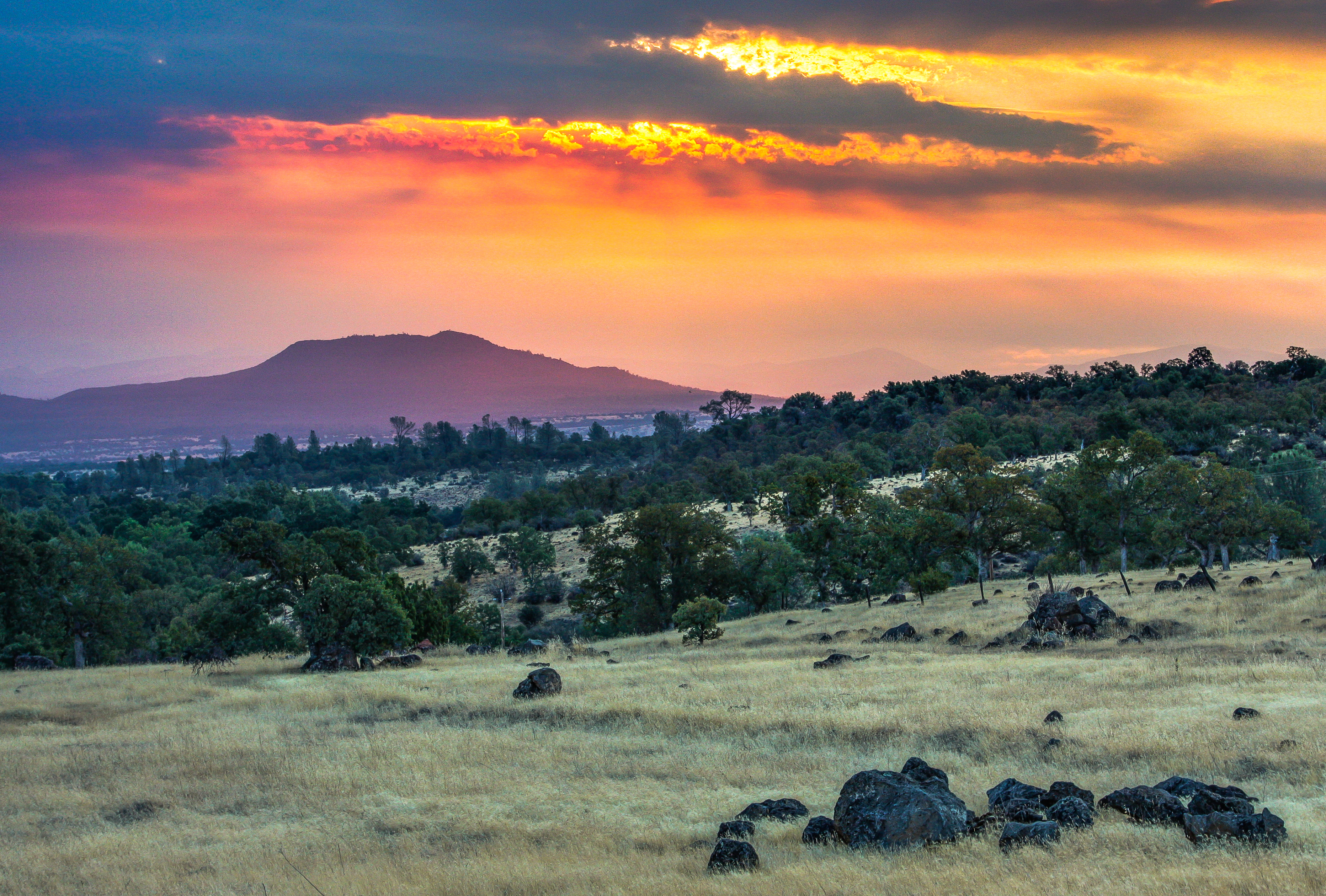
日出日落照片
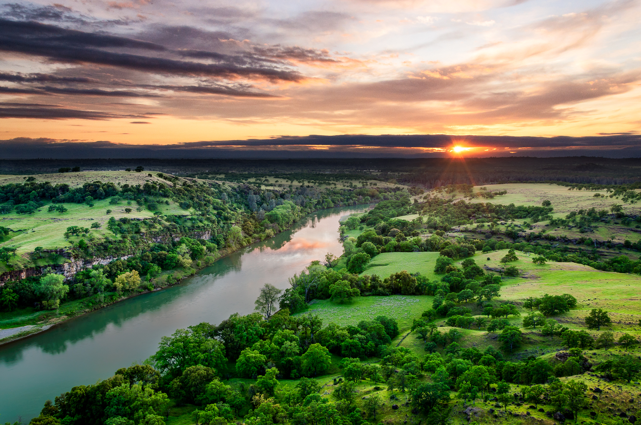
Sacramento River (His Glory)

Sacramento River (Livin' on the Edge)
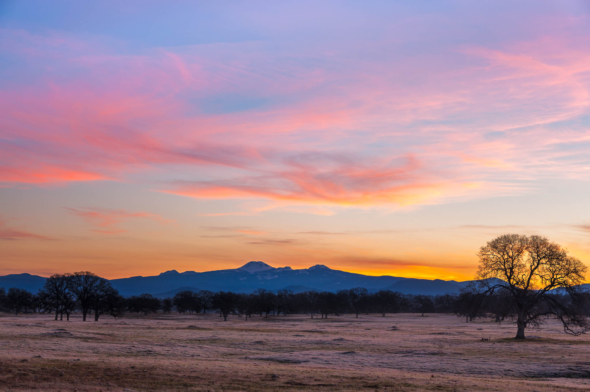
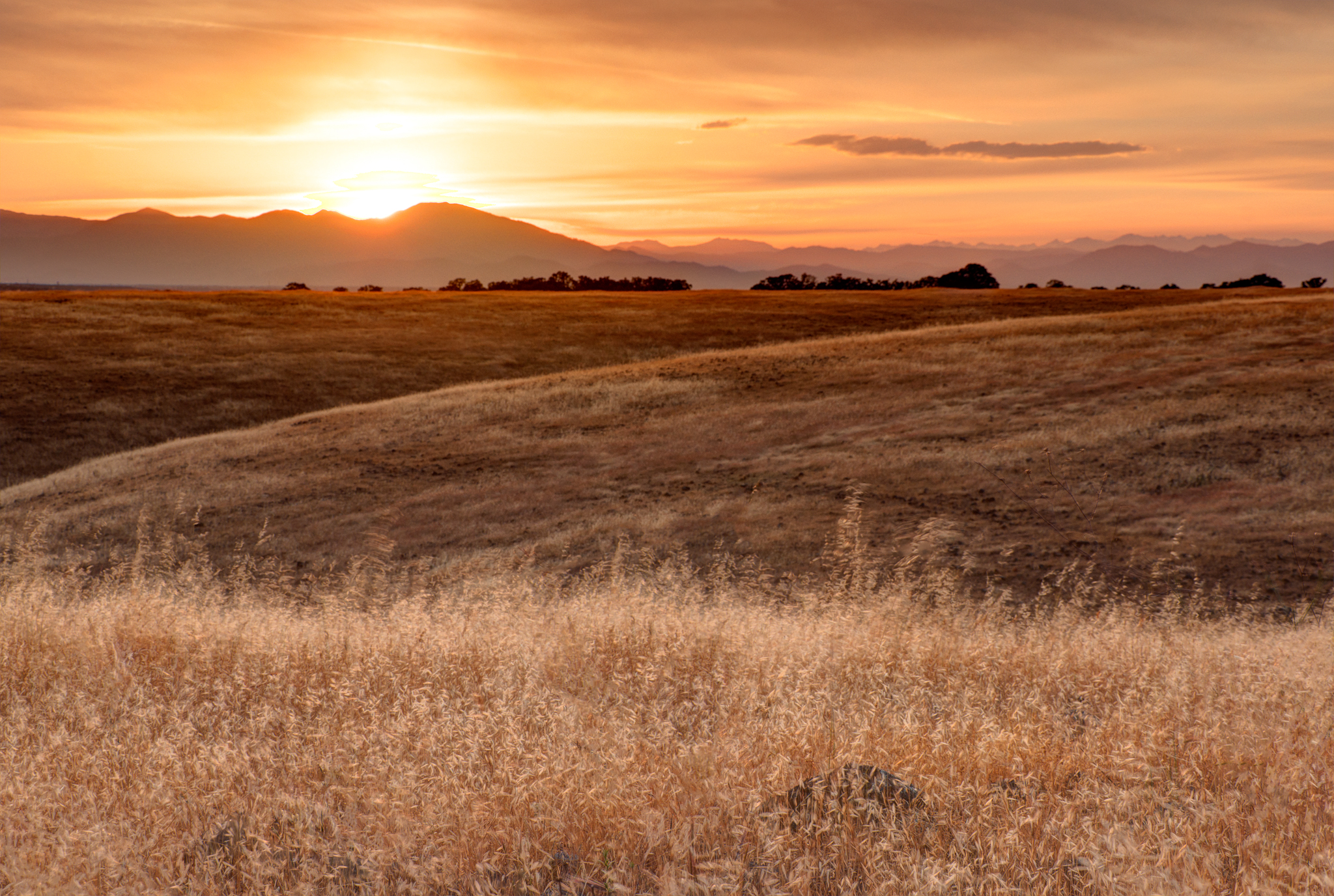
Oh yeah! (Mt. Lassen Sunrise)

Sacramento River (His Glory)

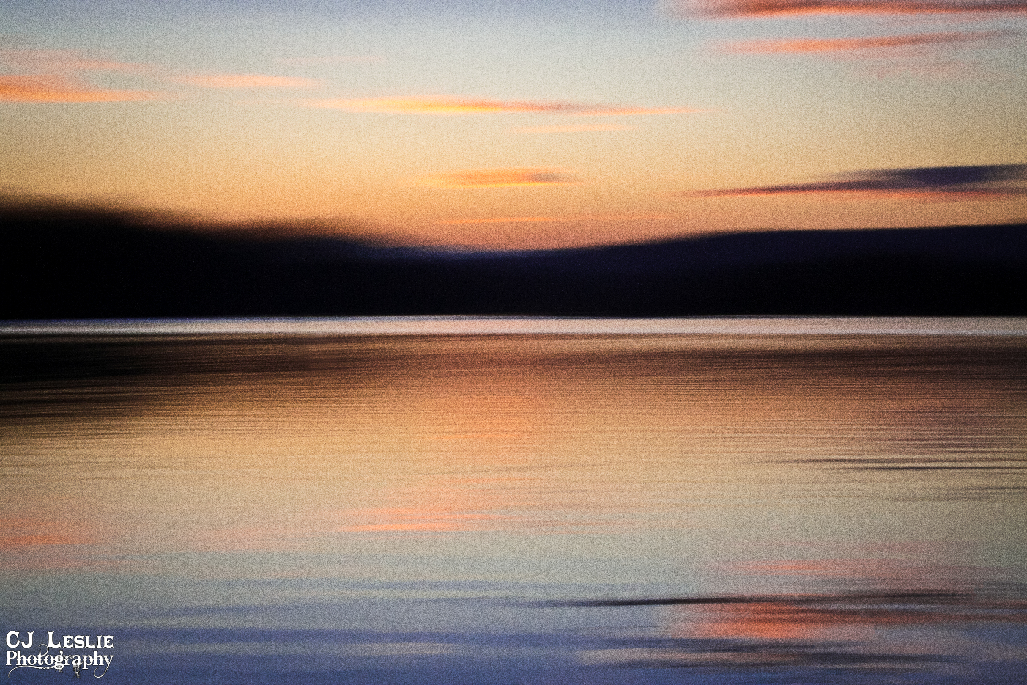
Sacramento River (Dreaming in Vertical)

Leaving Lassen

Coyote Pond - A New Breathe

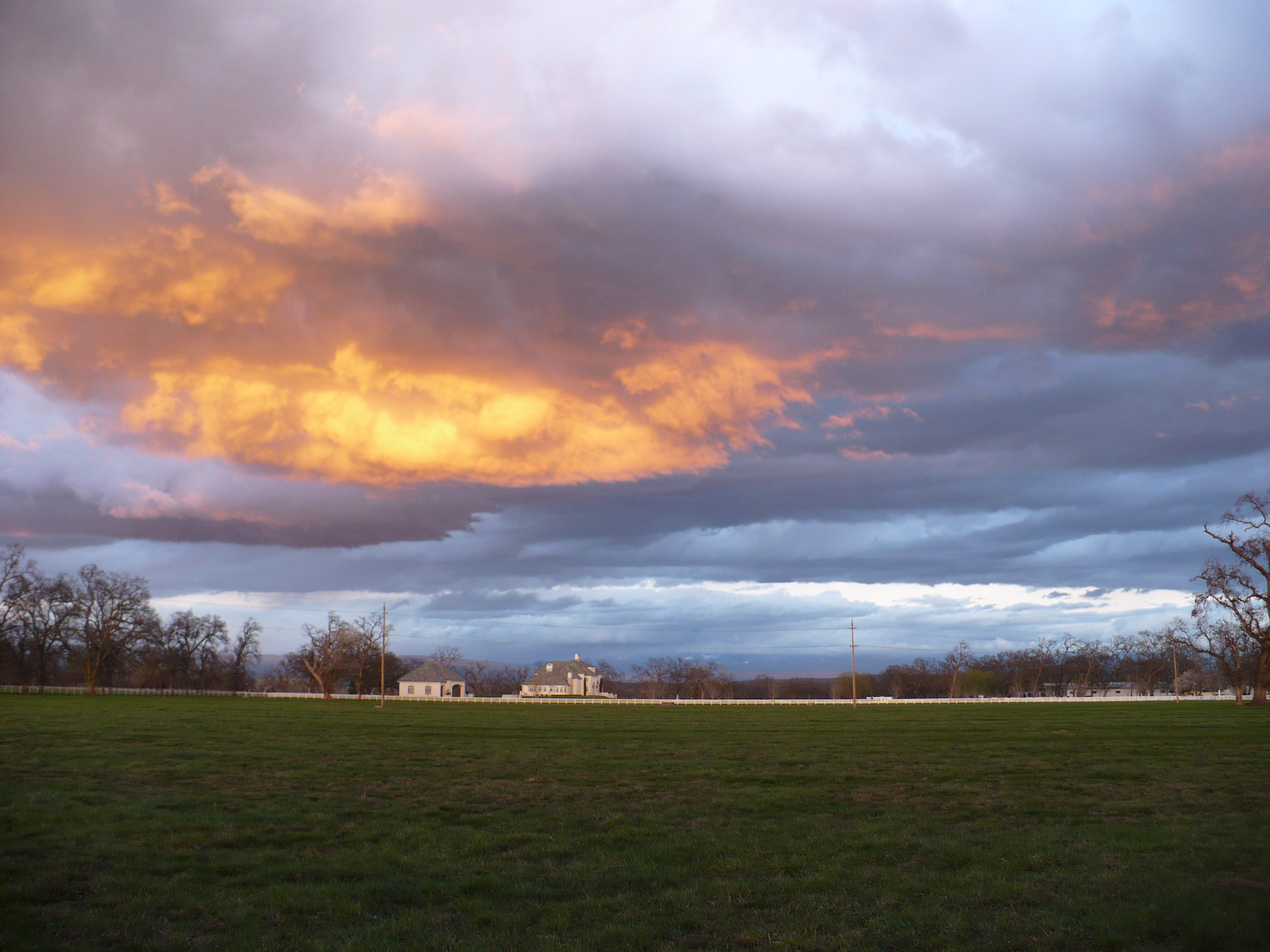
Break Open the Sky
Sunsets forever
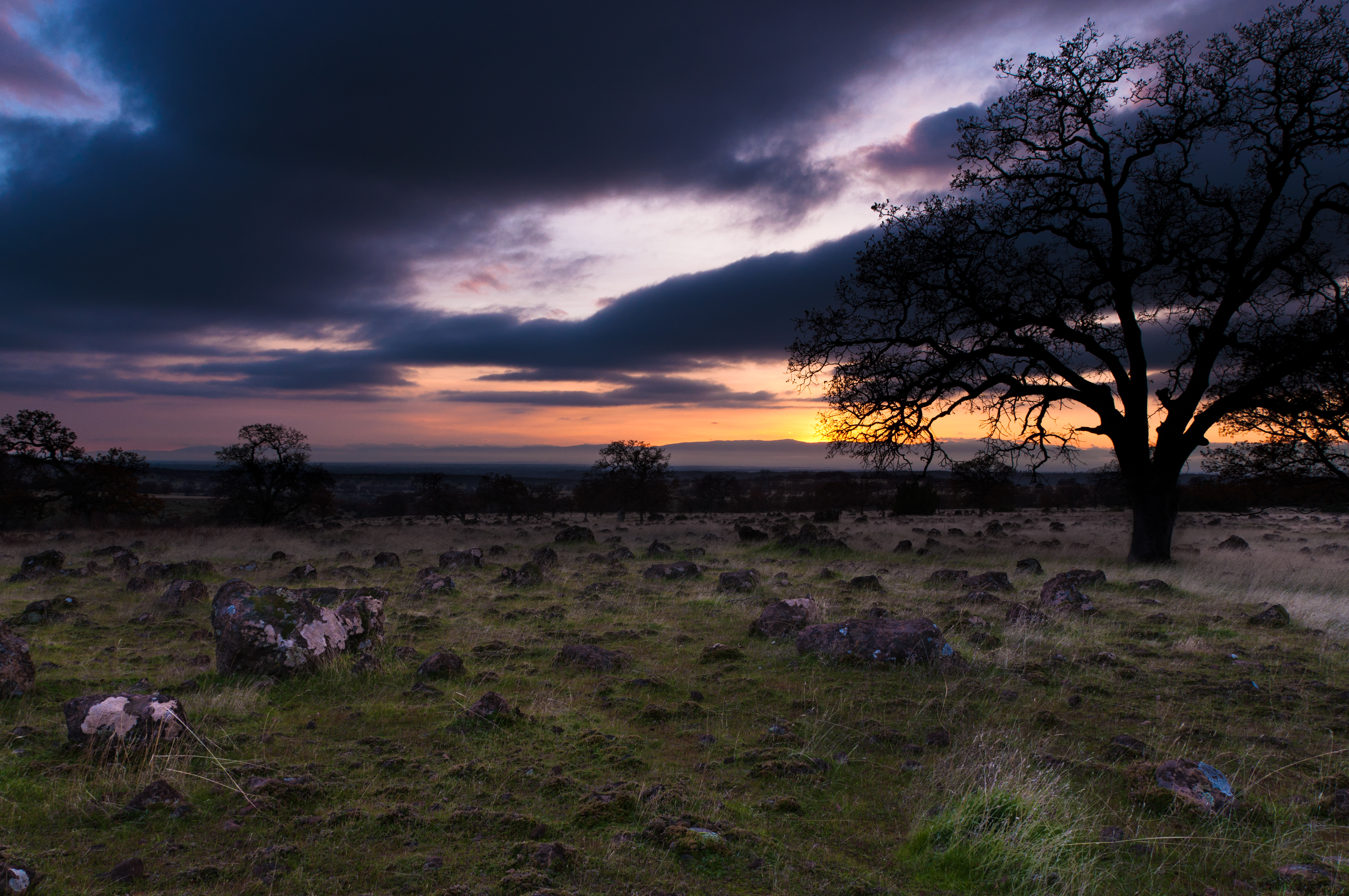
Passing storm
Sacramento Valley (Endless Hope)

Iron Canyon Loop

Peace on the lake

Clouds Deluxe
Sunset on the River
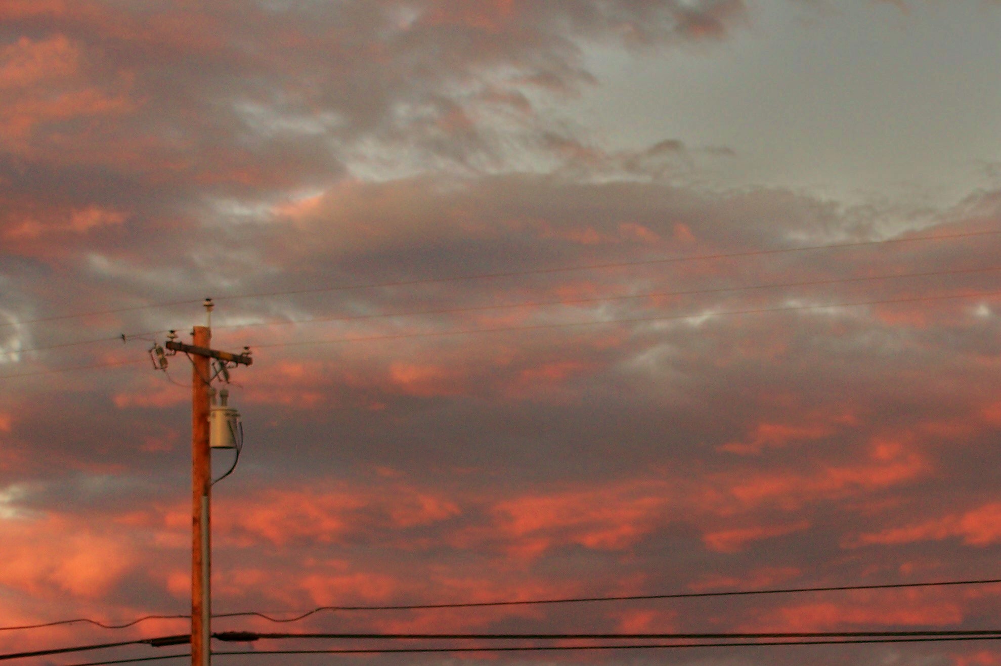
A Skyline And Powerline

Barge Hole (Red Bloom)
sacramento river sunset

Interstate 5 Northbound Tehama Valley Freeway approaching Exit 659 - Sunset Hills Road 1 mile with this roadside sign located at Tehama County - South Cottonwood, California.

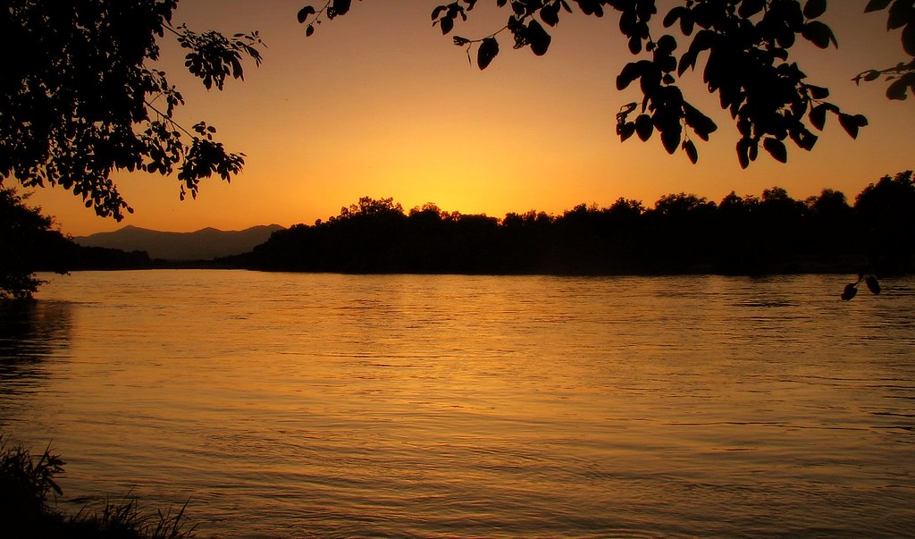
Sunset on the Sacramento River
Northern California Sunrise
A Shasta SkyLine

Sun coming up over Dersch Road Anderson Ca. On my way to attack Mount Lassen Peak. Couldn't pass up the sunrise shot.
Ketch Pl, Cottonwood, CA 美国的地图
查询其他地方的日出日落时间
附近地点
Lake California, CA 美国
River View Dr, Cottonwood, CA 美国
Cloud Creek Pl, Cottonwood, CA 美国
Gover Rd, Anderson, CA 美国
Vía Pasado, Red Bluff, CA 美国
Lyn Ellen Dr, Red Bluff, CA 美国Lyn Ellen Drive
美国加利福尼亚州本德
E Wallen Rd, Red Bluff, CA 美国
Brent Rd, Red Bluff, CA 美国
Frantz Dr, Red Bluff, CA 美国Frantz Drive
Brush St, Cottonwood, CA 美国Cottonwood Creek Charter School
美国加利福尼亚州卡顿伍德
Main St, Cottonwood, CA 美国Cottonwood Community Library
Penner Dr, Red Bluff, CA 美国Penner Drive
Park Dr, Cottonwood, CA 美国
CA-36, Red Bluff, CA 美国
Wilcox Rd, Red Bluff, CA 美国
美国加利福尼亚州安德森
McCoy Rd, Red Bluff, CA 美国
Via Del Roble, Red Bluff, CA 美国
最近搜索
- Red Dog Mine, AK, USA的日出日落时间表
- Am bhf, Borken, 德国Am Bahnhof的日出日落时间表
- 4th St E, Sonoma, CA 美国的日出日落时间表
- Oakland Ave, Williamsport, PA 美国的日出日落时间表
- Via Roma, Pieranica CR, Italy的日出日落时间表
- 克罗地亚杜布罗夫尼克 GradClock Tower of Dubrovnik的日出日落时间表
- 阿根廷丘布特省特雷利乌的日出日落时间表
- Hartfords Bluff Cir, Mt Pleasant, SC 美国的日出日落时间表
- 日本熊本县熊本市北区的日出日落时间表
- 中国福州市平潭县平潭岛的日出日落时间表