Dugout Spring, Utah, 美国的日出日落时间表
Location: 美国 > 犹他州 > 埃默里 >
时区:
America/Denver
当地时间:
2025-07-03 04:08:55
经度:
-110.364307
纬度:
38.6105344
今天日出时间:
06:02:07 AM
今天日落时间:
08:49:36 PM
今天日照时常:
14h 47m 29s
明天日出时间:
06:02:40 AM
明天日落时间:
08:49:25 PM
明天日照时常:
14h 46m 45s
显示所有日期
| 日期 | 日出 | 日落 | 日照时常 |
|---|---|---|---|
| 2025年01月01日 | 07:39:18 AM | 05:12:00 PM | 9h 32m 42s |
| 2025年01月02日 | 07:39:22 AM | 05:12:51 PM | 9h 33m 29s |
| 2025年01月03日 | 07:39:24 AM | 05:13:43 PM | 9h 34m 19s |
| 2025年01月04日 | 07:39:25 AM | 05:14:36 PM | 9h 35m 11s |
| 2025年01月05日 | 07:39:23 AM | 05:15:31 PM | 9h 36m 8s |
| 2025年01月06日 | 07:39:18 AM | 05:16:26 PM | 9h 37m 8s |
| 2025年01月07日 | 07:39:12 AM | 05:17:23 PM | 9h 38m 11s |
| 2025年01月08日 | 07:39:04 AM | 05:18:21 PM | 9h 39m 17s |
| 2025年01月09日 | 07:38:53 AM | 05:19:20 PM | 9h 40m 27s |
| 2025年01月10日 | 07:38:41 AM | 05:20:20 PM | 9h 41m 39s |
| 2025年01月11日 | 07:38:26 AM | 05:21:21 PM | 9h 42m 55s |
| 2025年01月12日 | 07:38:09 AM | 05:22:23 PM | 9h 44m 14s |
| 2025年01月13日 | 07:37:50 AM | 05:23:25 PM | 9h 45m 35s |
| 2025年01月14日 | 07:37:29 AM | 05:24:28 PM | 9h 46m 59s |
| 2025年01月15日 | 07:37:06 AM | 05:25:32 PM | 9h 48m 26s |
| 2025年01月16日 | 07:36:41 AM | 05:26:37 PM | 9h 49m 56s |
| 2025年01月17日 | 07:36:14 AM | 05:27:42 PM | 9h 51m 28s |
| 2025年01月18日 | 07:35:45 AM | 05:28:48 PM | 9h 53m 3s |
| 2025年01月19日 | 07:35:13 AM | 05:29:54 PM | 9h 54m 41s |
| 2025年01月20日 | 07:34:40 AM | 05:31:00 PM | 9h 56m 20s |
| 2025年01月21日 | 07:34:05 AM | 05:32:08 PM | 9h 58m 3s |
| 2025年01月22日 | 07:33:28 AM | 05:33:15 PM | 9h 59m 47s |
| 2025年01月23日 | 07:32:50 AM | 05:34:23 PM | 10h 1m 33s |
| 2025年01月24日 | 07:32:09 AM | 05:35:31 PM | 10h 3m 22s |
| 2025年01月25日 | 07:31:26 AM | 05:36:39 PM | 10h 5m 13s |
| 2025年01月26日 | 07:30:42 AM | 05:37:47 PM | 10h 7m 5s |
| 2025年01月27日 | 07:29:56 AM | 05:38:56 PM | 10h 9m 0s |
| 2025年01月28日 | 07:29:08 AM | 05:40:05 PM | 10h 10m 57s |
| 2025年01月29日 | 07:28:19 AM | 05:41:14 PM | 10h 12m 55s |
| 2025年01月30日 | 07:27:27 AM | 05:42:23 PM | 10h 14m 56s |
| 2025年01月31日 | 07:26:34 AM | 05:43:32 PM | 10h 16m 58s |
| 2025年02月01日 | 07:25:40 AM | 05:44:40 PM | 10h 19m 0s |
| 2025年02月02日 | 07:24:44 AM | 05:45:49 PM | 10h 21m 5s |
| 2025年02月03日 | 07:23:46 AM | 05:46:58 PM | 10h 23m 12s |
| 2025年02月04日 | 07:22:47 AM | 05:48:07 PM | 10h 25m 20s |
| 2025年02月05日 | 07:21:46 AM | 05:49:16 PM | 10h 27m 30s |
| 2025年02月06日 | 07:20:44 AM | 05:50:24 PM | 10h 29m 40s |
| 2025年02月07日 | 07:19:40 AM | 05:51:32 PM | 10h 31m 52s |
| 2025年02月08日 | 07:18:35 AM | 05:52:41 PM | 10h 34m 6s |
| 2025年02月09日 | 07:17:29 AM | 05:53:49 PM | 10h 36m 20s |
| 2025年02月10日 | 07:16:21 AM | 05:54:56 PM | 10h 38m 35s |
| 2025年02月11日 | 07:15:12 AM | 05:56:04 PM | 10h 40m 52s |
| 2025年02月12日 | 07:14:02 AM | 05:57:11 PM | 10h 43m 9s |
| 2025年02月13日 | 07:12:50 AM | 05:58:18 PM | 10h 45m 28s |
| 2025年02月14日 | 07:11:37 AM | 05:59:25 PM | 10h 47m 48s |
| 2025年02月15日 | 07:10:24 AM | 06:00:32 PM | 10h 50m 8s |
| 2025年02月16日 | 07:09:09 AM | 06:01:38 PM | 10h 52m 29s |
| 2025年02月17日 | 07:07:53 AM | 06:02:44 PM | 10h 54m 51s |
| 2025年02月18日 | 07:06:35 AM | 06:03:50 PM | 10h 57m 15s |
| 2025年02月19日 | 07:05:17 AM | 06:04:55 PM | 10h 59m 38s |
| 2025年02月20日 | 07:03:58 AM | 06:06:00 PM | 11h 2m 2s |
| 2025年02月21日 | 07:02:38 AM | 06:07:05 PM | 11h 4m 27s |
| 2025年02月22日 | 07:01:17 AM | 06:08:09 PM | 11h 6m 52s |
| 2025年02月23日 | 06:59:55 AM | 06:09:13 PM | 11h 9m 18s |
| 2025年02月24日 | 06:58:33 AM | 06:10:17 PM | 11h 11m 44s |
| 2025年02月25日 | 06:57:09 AM | 06:11:20 PM | 11h 14m 11s |
| 2025年02月26日 | 06:55:45 AM | 06:12:24 PM | 11h 16m 39s |
| 2025年02月27日 | 06:54:20 AM | 06:13:26 PM | 11h 19m 6s |
| 2025年02月28日 | 06:52:54 AM | 06:14:29 PM | 11h 21m 35s |
| 2025年03月01日 | 06:51:27 AM | 06:15:31 PM | 11h 24m 4s |
| 2025年03月02日 | 06:50:00 AM | 06:16:33 PM | 11h 26m 33s |
| 2025年03月03日 | 06:48:32 AM | 06:17:35 PM | 11h 29m 3s |
| 2025年03月04日 | 06:47:04 AM | 06:18:36 PM | 11h 31m 32s |
| 2025年03月05日 | 06:45:35 AM | 06:19:37 PM | 11h 34m 2s |
| 2025年03月06日 | 06:44:06 AM | 06:20:38 PM | 11h 36m 32s |
| 2025年03月07日 | 06:42:36 AM | 06:21:39 PM | 11h 39m 3s |
| 2025年03月08日 | 06:41:05 AM | 06:22:39 PM | 11h 41m 34s |
| 2025年03月09日 | 07:39:38 AM | 07:23:36 PM | 11h 43m 58s |
| 2025年03月10日 | 07:38:07 AM | 07:24:36 PM | 11h 46m 29s |
| 2025年03月11日 | 07:36:35 AM | 07:25:36 PM | 11h 49m 1s |
| 2025年03月12日 | 07:35:03 AM | 07:26:35 PM | 11h 51m 32s |
| 2025年03月13日 | 07:33:31 AM | 07:27:34 PM | 11h 54m 3s |
| 2025年03月14日 | 07:31:59 AM | 07:28:33 PM | 11h 56m 34s |
| 2025年03月15日 | 07:30:26 AM | 07:29:32 PM | 11h 59m 6s |
| 2025年03月16日 | 07:28:53 AM | 07:30:30 PM | 12h 1m 37s |
| 2025年03月17日 | 07:27:20 AM | 07:31:29 PM | 12h 4m 9s |
| 2025年03月18日 | 07:25:46 AM | 07:32:27 PM | 12h 6m 41s |
| 2025年03月19日 | 07:24:13 AM | 07:33:25 PM | 12h 9m 12s |
| 2025年03月20日 | 07:22:39 AM | 07:34:23 PM | 12h 11m 44s |
| 2025年03月21日 | 07:21:06 AM | 07:35:21 PM | 12h 14m 15s |
| 2025年03月22日 | 07:19:32 AM | 07:36:18 PM | 12h 16m 46s |
| 2025年03月23日 | 07:17:59 AM | 07:37:16 PM | 12h 19m 17s |
| 2025年03月24日 | 07:16:25 AM | 07:38:13 PM | 12h 21m 48s |
| 2025年03月25日 | 07:14:51 AM | 07:39:11 PM | 12h 24m 20s |
| 2025年03月26日 | 07:13:18 AM | 07:40:08 PM | 12h 26m 50s |
| 2025年03月27日 | 07:11:45 AM | 07:41:05 PM | 12h 29m 20s |
| 2025年03月28日 | 07:10:11 AM | 07:42:02 PM | 12h 31m 51s |
| 2025年03月29日 | 07:08:38 AM | 07:42:59 PM | 12h 34m 21s |
| 2025年03月30日 | 07:07:05 AM | 07:43:56 PM | 12h 36m 51s |
| 2025年03月31日 | 07:05:33 AM | 07:44:53 PM | 12h 39m 20s |
| 2025年04月01日 | 07:04:01 AM | 07:45:50 PM | 12h 41m 49s |
| 2025年04月02日 | 07:02:28 AM | 07:46:47 PM | 12h 44m 19s |
| 2025年04月03日 | 07:00:57 AM | 07:47:44 PM | 12h 46m 47s |
| 2025年04月04日 | 06:59:25 AM | 07:48:41 PM | 12h 49m 16s |
| 2025年04月05日 | 06:57:54 AM | 07:49:38 PM | 12h 51m 44s |
| 2025年04月06日 | 06:56:24 AM | 07:50:35 PM | 12h 54m 11s |
| 2025年04月07日 | 06:54:54 AM | 07:51:32 PM | 12h 56m 38s |
| 2025年04月08日 | 06:53:24 AM | 07:52:29 PM | 12h 59m 5s |
| 2025年04月09日 | 06:51:55 AM | 07:53:26 PM | 13h 1m 31s |
| 2025年04月10日 | 06:50:26 AM | 07:54:23 PM | 13h 3m 57s |
| 2025年04月11日 | 06:48:58 AM | 07:55:20 PM | 13h 6m 22s |
| 2025年04月12日 | 06:47:31 AM | 07:56:17 PM | 13h 8m 46s |
| 2025年04月13日 | 06:46:04 AM | 07:57:14 PM | 13h 11m 10s |
| 2025年04月14日 | 06:44:38 AM | 07:58:11 PM | 13h 13m 33s |
| 2025年04月15日 | 06:43:13 AM | 07:59:09 PM | 13h 15m 56s |
| 2025年04月16日 | 06:41:48 AM | 08:00:06 PM | 13h 18m 18s |
| 2025年04月17日 | 06:40:24 AM | 08:01:03 PM | 13h 20m 39s |
| 2025年04月18日 | 06:39:01 AM | 08:02:00 PM | 13h 22m 59s |
| 2025年04月19日 | 06:37:38 AM | 08:02:58 PM | 13h 25m 20s |
| 2025年04月20日 | 06:36:17 AM | 08:03:55 PM | 13h 27m 38s |
| 2025年04月21日 | 06:34:56 AM | 08:04:53 PM | 13h 29m 57s |
| 2025年04月22日 | 06:33:36 AM | 08:05:50 PM | 13h 32m 14s |
| 2025年04月23日 | 06:32:17 AM | 08:06:47 PM | 13h 34m 30s |
| 2025年04月24日 | 06:30:59 AM | 08:07:45 PM | 13h 36m 46s |
| 2025年04月25日 | 06:29:43 AM | 08:08:42 PM | 13h 38m 59s |
| 2025年04月26日 | 06:28:27 AM | 08:09:39 PM | 13h 41m 12s |
| 2025年04月27日 | 06:27:12 AM | 08:10:37 PM | 13h 43m 25s |
| 2025年04月28日 | 06:25:58 AM | 08:11:34 PM | 13h 45m 36s |
| 2025年04月29日 | 06:24:45 AM | 08:12:31 PM | 13h 47m 46s |
| 2025年04月30日 | 06:23:34 AM | 08:13:28 PM | 13h 49m 54s |
| 2025年05月01日 | 06:22:24 AM | 08:14:25 PM | 13h 52m 1s |
| 2025年05月02日 | 06:21:15 AM | 08:15:22 PM | 13h 54m 7s |
| 2025年05月03日 | 06:20:07 AM | 08:16:19 PM | 13h 56m 12s |
| 2025年05月04日 | 06:19:00 AM | 08:17:15 PM | 13h 58m 15s |
| 2025年05月05日 | 06:17:55 AM | 08:18:12 PM | 14h 0m 17s |
| 2025年05月06日 | 06:16:51 AM | 08:19:08 PM | 14h 2m 17s |
| 2025年05月07日 | 06:15:48 AM | 08:20:04 PM | 14h 4m 16s |
| 2025年05月08日 | 06:14:47 AM | 08:21:00 PM | 14h 6m 13s |
| 2025年05月09日 | 06:13:47 AM | 08:21:56 PM | 14h 8m 9s |
| 2025年05月10日 | 06:12:49 AM | 08:22:51 PM | 14h 10m 2s |
| 2025年05月11日 | 06:11:52 AM | 08:23:46 PM | 14h 11m 54s |
| 2025年05月12日 | 06:10:56 AM | 08:24:40 PM | 14h 13m 44s |
| 2025年05月13日 | 06:10:02 AM | 08:25:35 PM | 14h 15m 33s |
| 2025年05月14日 | 06:09:10 AM | 08:26:28 PM | 14h 17m 18s |
| 2025年05月15日 | 06:08:19 AM | 08:27:22 PM | 14h 19m 3s |
| 2025年05月16日 | 06:07:30 AM | 08:28:15 PM | 14h 20m 45s |
| 2025年05月17日 | 06:06:42 AM | 08:29:07 PM | 14h 22m 25s |
| 2025年05月18日 | 06:05:56 AM | 08:29:59 PM | 14h 24m 3s |
| 2025年05月19日 | 06:05:12 AM | 08:30:50 PM | 14h 25m 38s |
| 2025年05月20日 | 06:04:29 AM | 08:31:41 PM | 14h 27m 12s |
| 2025年05月21日 | 06:03:48 AM | 08:32:31 PM | 14h 28m 43s |
| 2025年05月22日 | 06:03:09 AM | 08:33:21 PM | 14h 30m 12s |
| 2025年05月23日 | 06:02:31 AM | 08:34:09 PM | 14h 31m 38s |
| 2025年05月24日 | 06:01:55 AM | 08:34:57 PM | 14h 33m 2s |
| 2025年05月25日 | 06:01:21 AM | 08:35:44 PM | 14h 34m 23s |
| 2025年05月26日 | 06:00:49 AM | 08:36:31 PM | 14h 35m 42s |
| 2025年05月27日 | 06:00:19 AM | 08:37:16 PM | 14h 36m 57s |
| 2025年05月28日 | 05:59:50 AM | 08:38:01 PM | 14h 38m 11s |
| 2025年05月29日 | 05:59:23 AM | 08:38:44 PM | 14h 39m 21s |
| 2025年05月30日 | 05:58:58 AM | 08:39:27 PM | 14h 40m 29s |
| 2025年05月31日 | 05:58:35 AM | 08:40:08 PM | 14h 41m 33s |
| 2025年06月01日 | 05:58:14 AM | 08:40:49 PM | 14h 42m 35s |
| 2025年06月02日 | 05:57:54 AM | 08:41:28 PM | 14h 43m 34s |
| 2025年06月03日 | 05:57:36 AM | 08:42:06 PM | 14h 44m 30s |
| 2025年06月04日 | 05:57:21 AM | 08:42:43 PM | 14h 45m 22s |
| 2025年06月05日 | 05:57:07 AM | 08:43:19 PM | 14h 46m 12s |
| 2025年06月06日 | 05:56:55 AM | 08:43:54 PM | 14h 46m 59s |
| 2025年06月07日 | 05:56:44 AM | 08:44:27 PM | 14h 47m 43s |
| 2025年06月08日 | 05:56:36 AM | 08:44:59 PM | 14h 48m 23s |
| 2025年06月09日 | 05:56:30 AM | 08:45:29 PM | 14h 48m 59s |
| 2025年06月10日 | 05:56:25 AM | 08:45:58 PM | 14h 49m 33s |
| 2025年06月11日 | 05:56:22 AM | 08:46:26 PM | 14h 50m 4s |
| 2025年06月12日 | 05:56:21 AM | 08:46:52 PM | 14h 50m 31s |
| 2025年06月13日 | 05:56:22 AM | 08:47:17 PM | 14h 50m 55s |
| 2025年06月14日 | 05:56:24 AM | 08:47:40 PM | 14h 51m 16s |
| 2025年06月15日 | 05:56:29 AM | 08:48:01 PM | 14h 51m 32s |
| 2025年06月16日 | 05:56:35 AM | 08:48:21 PM | 14h 51m 46s |
| 2025年06月17日 | 05:56:43 AM | 08:48:40 PM | 14h 51m 57s |
| 2025年06月18日 | 05:56:52 AM | 08:48:56 PM | 14h 52m 4s |
| 2025年06月19日 | 05:57:04 AM | 08:49:11 PM | 14h 52m 7s |
| 2025年06月20日 | 05:57:17 AM | 08:49:24 PM | 14h 52m 7s |
| 2025年06月21日 | 05:57:31 AM | 08:49:35 PM | 14h 52m 4s |
| 2025年06月22日 | 05:57:48 AM | 08:49:45 PM | 14h 51m 57s |
| 2025年06月23日 | 05:58:06 AM | 08:49:53 PM | 14h 51m 47s |
| 2025年06月24日 | 05:58:25 AM | 08:49:59 PM | 14h 51m 34s |
| 2025年06月25日 | 05:58:46 AM | 08:50:03 PM | 14h 51m 17s |
| 2025年06月26日 | 05:59:09 AM | 08:50:06 PM | 14h 50m 57s |
| 2025年06月27日 | 05:59:33 AM | 08:50:06 PM | 14h 50m 33s |
| 2025年06月28日 | 05:59:58 AM | 08:50:05 PM | 14h 50m 7s |
| 2025年06月29日 | 06:00:25 AM | 08:50:02 PM | 14h 49m 37s |
| 2025年06月30日 | 06:00:53 AM | 08:49:57 PM | 14h 49m 4s |
| 2025年07月01日 | 06:01:23 AM | 08:49:50 PM | 14h 48m 27s |
| 2025年07月02日 | 06:01:54 AM | 08:49:41 PM | 14h 47m 47s |
| 2025年07月03日 | 06:02:26 AM | 08:49:30 PM | 14h 47m 4s |
| 2025年07月04日 | 06:02:59 AM | 08:49:17 PM | 14h 46m 18s |
| 2025年07月05日 | 06:03:34 AM | 08:49:03 PM | 14h 45m 29s |
| 2025年07月06日 | 06:04:10 AM | 08:48:46 PM | 14h 44m 36s |
| 2025年07月07日 | 06:04:47 AM | 08:48:28 PM | 14h 43m 41s |
| 2025年07月08日 | 06:05:25 AM | 08:48:08 PM | 14h 42m 43s |
| 2025年07月09日 | 06:06:04 AM | 08:47:45 PM | 14h 41m 41s |
| 2025年07月10日 | 06:06:44 AM | 08:47:21 PM | 14h 40m 37s |
| 2025年07月11日 | 06:07:24 AM | 08:46:56 PM | 14h 39m 32s |
| 2025年07月12日 | 06:08:06 AM | 08:46:28 PM | 14h 38m 22s |
| 2025年07月13日 | 06:08:49 AM | 08:45:58 PM | 14h 37m 9s |
| 2025年07月14日 | 06:09:33 AM | 08:45:27 PM | 14h 35m 54s |
| 2025年07月15日 | 06:10:17 AM | 08:44:54 PM | 14h 34m 37s |
| 2025年07月16日 | 06:11:02 AM | 08:44:18 PM | 14h 33m 16s |
| 2025年07月17日 | 06:11:48 AM | 08:43:42 PM | 14h 31m 54s |
| 2025年07月18日 | 06:12:35 AM | 08:43:03 PM | 14h 30m 28s |
| 2025年07月19日 | 06:13:22 AM | 08:42:23 PM | 14h 29m 1s |
| 2025年07月20日 | 06:14:10 AM | 08:41:40 PM | 14h 27m 30s |
| 2025年07月21日 | 06:14:58 AM | 08:40:57 PM | 14h 25m 59s |
| 2025年07月22日 | 06:15:47 AM | 08:40:11 PM | 14h 24m 24s |
| 2025年07月23日 | 06:16:36 AM | 08:39:24 PM | 14h 22m 48s |
| 2025年07月24日 | 06:17:26 AM | 08:38:35 PM | 14h 21m 9s |
| 2025年07月25日 | 06:18:17 AM | 08:37:45 PM | 14h 19m 28s |
| 2025年07月26日 | 06:19:07 AM | 08:36:52 PM | 14h 17m 45s |
| 2025年07月27日 | 06:19:59 AM | 08:35:59 PM | 14h 16m 0s |
| 2025年07月28日 | 06:20:50 AM | 08:35:04 PM | 14h 14m 14s |
| 2025年07月29日 | 06:21:42 AM | 08:34:07 PM | 14h 12m 25s |
| 2025年07月30日 | 06:22:34 AM | 08:33:08 PM | 14h 10m 34s |
| 2025年07月31日 | 06:23:26 AM | 08:32:09 PM | 14h 8m 43s |
| 2025年08月01日 | 06:24:19 AM | 08:31:08 PM | 14h 6m 49s |
| 2025年08月02日 | 06:25:11 AM | 08:30:05 PM | 14h 4m 54s |
| 2025年08月03日 | 06:26:04 AM | 08:29:01 PM | 14h 2m 57s |
| 2025年08月04日 | 06:26:57 AM | 08:27:56 PM | 14h 0m 59s |
| 2025年08月05日 | 06:27:51 AM | 08:26:49 PM | 13h 58m 58s |
| 2025年08月06日 | 06:28:44 AM | 08:25:41 PM | 13h 56m 57s |
| 2025年08月07日 | 06:29:37 AM | 08:24:32 PM | 13h 54m 55s |
| 2025年08月08日 | 06:30:31 AM | 08:23:21 PM | 13h 52m 50s |
| 2025年08月09日 | 06:31:25 AM | 08:22:09 PM | 13h 50m 44s |
| 2025年08月10日 | 06:32:18 AM | 08:20:56 PM | 13h 48m 38s |
| 2025年08月11日 | 06:33:12 AM | 08:19:42 PM | 13h 46m 30s |
| 2025年08月12日 | 06:34:06 AM | 08:18:27 PM | 13h 44m 21s |
| 2025年08月13日 | 06:34:59 AM | 08:17:11 PM | 13h 42m 12s |
| 2025年08月14日 | 06:35:53 AM | 08:15:53 PM | 13h 40m 0s |
| 2025年08月15日 | 06:36:47 AM | 08:14:35 PM | 13h 37m 48s |
| 2025年08月16日 | 06:37:40 AM | 08:13:16 PM | 13h 35m 36s |
| 2025年08月17日 | 06:38:34 AM | 08:11:55 PM | 13h 33m 21s |
| 2025年08月18日 | 06:39:28 AM | 08:10:34 PM | 13h 31m 6s |
| 2025年08月19日 | 06:40:21 AM | 08:09:12 PM | 13h 28m 51s |
| 2025年08月20日 | 06:41:15 AM | 08:07:48 PM | 13h 26m 33s |
| 2025年08月21日 | 06:42:08 AM | 08:06:24 PM | 13h 24m 16s |
| 2025年08月22日 | 06:43:01 AM | 08:05:00 PM | 13h 21m 59s |
| 2025年08月23日 | 06:43:55 AM | 08:03:34 PM | 13h 19m 39s |
| 2025年08月24日 | 06:44:48 AM | 08:02:08 PM | 13h 17m 20s |
| 2025年08月25日 | 06:45:41 AM | 08:00:40 PM | 13h 14m 59s |
| 2025年08月26日 | 06:46:34 AM | 07:59:13 PM | 13h 12m 39s |
| 2025年08月27日 | 06:47:27 AM | 07:57:44 PM | 13h 10m 17s |
| 2025年08月28日 | 06:48:20 AM | 07:56:15 PM | 13h 7m 55s |
| 2025年08月29日 | 06:49:13 AM | 07:54:45 PM | 13h 5m 32s |
| 2025年08月30日 | 06:50:06 AM | 07:53:15 PM | 13h 3m 9s |
| 2025年08月31日 | 06:50:59 AM | 07:51:44 PM | 13h 0m 45s |
| 2025年09月01日 | 06:51:52 AM | 07:50:13 PM | 12h 58m 21s |
| 2025年09月02日 | 06:52:44 AM | 07:48:41 PM | 12h 55m 57s |
| 2025年09月03日 | 06:53:37 AM | 07:47:08 PM | 12h 53m 31s |
| 2025年09月04日 | 06:54:30 AM | 07:45:35 PM | 12h 51m 5s |
| 2025年09月05日 | 06:55:22 AM | 07:44:02 PM | 12h 48m 40s |
| 2025年09月06日 | 06:56:15 AM | 07:42:29 PM | 12h 46m 14s |
| 2025年09月07日 | 06:57:07 AM | 07:40:55 PM | 12h 43m 48s |
| 2025年09月08日 | 06:58:00 AM | 07:39:20 PM | 12h 41m 20s |
| 2025年09月09日 | 06:58:53 AM | 07:37:46 PM | 12h 38m 53s |
| 2025年09月10日 | 06:59:45 AM | 07:36:11 PM | 12h 36m 26s |
| 2025年09月11日 | 07:00:38 AM | 07:34:36 PM | 12h 33m 58s |
| 2025年09月12日 | 07:01:30 AM | 07:33:01 PM | 12h 31m 31s |
| 2025年09月13日 | 07:02:23 AM | 07:31:25 PM | 12h 29m 2s |
| 2025年09月14日 | 07:03:16 AM | 07:29:50 PM | 12h 26m 34s |
| 2025年09月15日 | 07:04:09 AM | 07:28:14 PM | 12h 24m 5s |
| 2025年09月16日 | 07:05:01 AM | 07:26:38 PM | 12h 21m 37s |
| 2025年09月17日 | 07:05:54 AM | 07:25:03 PM | 12h 19m 9s |
| 2025年09月18日 | 07:06:47 AM | 07:23:27 PM | 12h 16m 40s |
| 2025年09月19日 | 07:07:40 AM | 07:21:51 PM | 12h 14m 11s |
| 2025年09月20日 | 07:08:34 AM | 07:20:15 PM | 12h 11m 41s |
| 2025年09月21日 | 07:09:27 AM | 07:18:39 PM | 12h 9m 12s |
| 2025年09月22日 | 07:10:21 AM | 07:17:04 PM | 12h 6m 43s |
| 2025年09月23日 | 07:11:14 AM | 07:15:28 PM | 12h 4m 14s |
| 2025年09月24日 | 07:12:08 AM | 07:13:53 PM | 12h 1m 45s |
| 2025年09月25日 | 07:13:02 AM | 07:12:18 PM | 11h 59m 16s |
| 2025年09月26日 | 07:13:56 AM | 07:10:43 PM | 11h 56m 47s |
| 2025年09月27日 | 07:14:51 AM | 07:09:08 PM | 11h 54m 17s |
| 2025年09月28日 | 07:15:45 AM | 07:07:33 PM | 11h 51m 48s |
| 2025年09月29日 | 07:16:40 AM | 07:05:59 PM | 11h 49m 19s |
| 2025年09月30日 | 07:17:35 AM | 07:04:25 PM | 11h 46m 50s |
| 2025年10月01日 | 07:18:30 AM | 07:02:52 PM | 11h 44m 22s |
| 2025年10月02日 | 07:19:26 AM | 07:01:19 PM | 11h 41m 53s |
| 2025年10月03日 | 07:20:22 AM | 06:59:46 PM | 11h 39m 24s |
| 2025年10月04日 | 07:21:18 AM | 06:58:14 PM | 11h 36m 56s |
| 2025年10月05日 | 07:22:14 AM | 06:56:42 PM | 11h 34m 28s |
| 2025年10月06日 | 07:23:11 AM | 06:55:11 PM | 11h 32m 0s |
| 2025年10月07日 | 07:24:08 AM | 06:53:40 PM | 11h 29m 32s |
| 2025年10月08日 | 07:25:05 AM | 06:52:10 PM | 11h 27m 5s |
| 2025年10月09日 | 07:26:02 AM | 06:50:41 PM | 11h 24m 39s |
| 2025年10月10日 | 07:27:00 AM | 06:49:12 PM | 11h 22m 12s |
| 2025年10月11日 | 07:27:58 AM | 06:47:44 PM | 11h 19m 46s |
| 2025年10月12日 | 07:28:57 AM | 06:46:16 PM | 11h 17m 19s |
| 2025年10月13日 | 07:29:56 AM | 06:44:50 PM | 11h 14m 54s |
| 2025年10月14日 | 07:30:55 AM | 06:43:24 PM | 11h 12m 29s |
| 2025年10月15日 | 07:31:54 AM | 06:41:59 PM | 11h 10m 5s |
| 2025年10月16日 | 07:32:54 AM | 06:40:34 PM | 11h 7m 40s |
| 2025年10月17日 | 07:33:54 AM | 06:39:11 PM | 11h 5m 17s |
| 2025年10月18日 | 07:34:55 AM | 06:37:48 PM | 11h 2m 53s |
| 2025年10月19日 | 07:35:55 AM | 06:36:27 PM | 11h 0m 32s |
| 2025年10月20日 | 07:36:57 AM | 06:35:06 PM | 10h 58m 9s |
| 2025年10月21日 | 07:37:58 AM | 06:33:46 PM | 10h 55m 48s |
| 2025年10月22日 | 07:39:00 AM | 06:32:28 PM | 10h 53m 28s |
| 2025年10月23日 | 07:40:02 AM | 06:31:10 PM | 10h 51m 8s |
| 2025年10月24日 | 07:41:05 AM | 06:29:54 PM | 10h 48m 49s |
| 2025年10月25日 | 07:42:07 AM | 06:28:38 PM | 10h 46m 31s |
| 2025年10月26日 | 07:43:11 AM | 06:27:24 PM | 10h 44m 13s |
| 2025年10月27日 | 07:44:14 AM | 06:26:11 PM | 10h 41m 57s |
| 2025年10月28日 | 07:45:18 AM | 06:25:00 PM | 10h 39m 42s |
| 2025年10月29日 | 07:46:22 AM | 06:23:49 PM | 10h 37m 27s |
| 2025年10月30日 | 07:47:26 AM | 06:22:40 PM | 10h 35m 14s |
| 2025年10月31日 | 07:48:30 AM | 06:21:32 PM | 10h 33m 2s |
| 2025年11月01日 | 07:49:35 AM | 06:20:26 PM | 10h 30m 51s |
| 2025年11月02日 | 06:50:43 AM | 05:19:18 PM | 10h 28m 35s |
| 2025年11月03日 | 06:51:48 AM | 05:18:15 PM | 10h 26m 27s |
| 2025年11月04日 | 06:52:53 AM | 05:17:13 PM | 10h 24m 20s |
| 2025年11月05日 | 06:53:58 AM | 05:16:12 PM | 10h 22m 14s |
| 2025年11月06日 | 06:55:04 AM | 05:15:13 PM | 10h 20m 9s |
| 2025年11月07日 | 06:56:10 AM | 05:14:16 PM | 10h 18m 6s |
| 2025年11月08日 | 06:57:15 AM | 05:13:20 PM | 10h 16m 5s |
| 2025年11月09日 | 06:58:21 AM | 05:12:26 PM | 10h 14m 5s |
| 2025年11月10日 | 06:59:27 AM | 05:11:34 PM | 10h 12m 7s |
| 2025年11月11日 | 07:00:33 AM | 05:10:43 PM | 10h 10m 10s |
| 2025年11月12日 | 07:01:39 AM | 05:09:54 PM | 10h 8m 15s |
| 2025年11月13日 | 07:02:44 AM | 05:09:07 PM | 10h 6m 23s |
| 2025年11月14日 | 07:03:50 AM | 05:08:21 PM | 10h 4m 31s |
| 2025年11月15日 | 07:04:55 AM | 05:07:38 PM | 10h 2m 43s |
| 2025年11月16日 | 07:06:01 AM | 05:06:56 PM | 10h 0m 55s |
| 2025年11月17日 | 07:07:06 AM | 05:06:16 PM | 9h 59m 10s |
| 2025年11月18日 | 07:08:11 AM | 05:05:38 PM | 9h 57m 27s |
| 2025年11月19日 | 07:09:15 AM | 05:05:02 PM | 9h 55m 47s |
| 2025年11月20日 | 07:10:19 AM | 05:04:28 PM | 9h 54m 9s |
| 2025年11月21日 | 07:11:23 AM | 05:03:56 PM | 9h 52m 33s |
| 2025年11月22日 | 07:12:26 AM | 05:03:26 PM | 9h 51m 0s |
| 2025年11月23日 | 07:13:29 AM | 05:02:58 PM | 9h 49m 29s |
| 2025年11月24日 | 07:14:31 AM | 05:02:32 PM | 9h 48m 1s |
| 2025年11月25日 | 07:15:33 AM | 05:02:08 PM | 9h 46m 35s |
| 2025年11月26日 | 07:16:34 AM | 05:01:46 PM | 9h 45m 12s |
| 2025年11月27日 | 07:17:35 AM | 05:01:27 PM | 9h 43m 52s |
| 2025年11月28日 | 07:18:34 AM | 05:01:09 PM | 9h 42m 35s |
| 2025年11月29日 | 07:19:33 AM | 05:00:54 PM | 9h 41m 21s |
| 2025年11月30日 | 07:20:31 AM | 05:00:40 PM | 9h 40m 9s |
| 2025年12月01日 | 07:21:28 AM | 05:00:29 PM | 9h 39m 1s |
| 2025年12月02日 | 07:22:25 AM | 05:00:20 PM | 9h 37m 55s |
| 2025年12月03日 | 07:23:20 AM | 05:00:13 PM | 9h 36m 53s |
| 2025年12月04日 | 07:24:14 AM | 05:00:09 PM | 9h 35m 55s |
| 2025年12月05日 | 07:25:07 AM | 05:00:06 PM | 9h 34m 59s |
| 2025年12月06日 | 07:25:59 AM | 05:00:06 PM | 9h 34m 7s |
| 2025年12月07日 | 07:26:50 AM | 05:00:08 PM | 9h 33m 18s |
| 2025年12月08日 | 07:27:40 AM | 05:00:12 PM | 9h 32m 32s |
| 2025年12月09日 | 07:28:28 AM | 05:00:18 PM | 9h 31m 50s |
| 2025年12月10日 | 07:29:15 AM | 05:00:26 PM | 9h 31m 11s |
| 2025年12月11日 | 07:30:00 AM | 05:00:37 PM | 9h 30m 37s |
| 2025年12月12日 | 07:30:44 AM | 05:00:49 PM | 9h 30m 5s |
| 2025年12月13日 | 07:31:27 AM | 05:01:04 PM | 9h 29m 37s |
| 2025年12月14日 | 07:32:08 AM | 05:01:21 PM | 9h 29m 13s |
| 2025年12月15日 | 07:32:47 AM | 05:01:40 PM | 9h 28m 53s |
| 2025年12月16日 | 07:33:25 AM | 05:02:00 PM | 9h 28m 35s |
| 2025年12月17日 | 07:34:01 AM | 05:02:23 PM | 9h 28m 22s |
| 2025年12月18日 | 07:34:35 AM | 05:02:48 PM | 9h 28m 13s |
| 2025年12月19日 | 07:35:08 AM | 05:03:15 PM | 9h 28m 7s |
| 2025年12月20日 | 07:35:38 AM | 05:03:44 PM | 9h 28m 6s |
| 2025年12月21日 | 07:36:07 AM | 05:04:15 PM | 9h 28m 8s |
| 2025年12月22日 | 07:36:34 AM | 05:04:47 PM | 9h 28m 13s |
| 2025年12月23日 | 07:37:00 AM | 05:05:22 PM | 9h 28m 22s |
| 2025年12月24日 | 07:37:23 AM | 05:05:58 PM | 9h 28m 35s |
| 2025年12月25日 | 07:37:44 AM | 05:06:36 PM | 9h 28m 52s |
| 2025年12月26日 | 07:38:03 AM | 05:07:16 PM | 9h 29m 13s |
| 2025年12月27日 | 07:38:21 AM | 05:07:57 PM | 9h 29m 36s |
| 2025年12月28日 | 07:38:36 AM | 05:08:40 PM | 9h 30m 4s |
| 2025年12月29日 | 07:38:49 AM | 05:09:25 PM | 9h 30m 36s |
| 2025年12月30日 | 07:39:00 AM | 05:10:11 PM | 9h 31m 11s |
| 2025年12月31日 | 07:39:09 AM | 05:10:58 PM | 9h 31m 49s |
日出日落照片
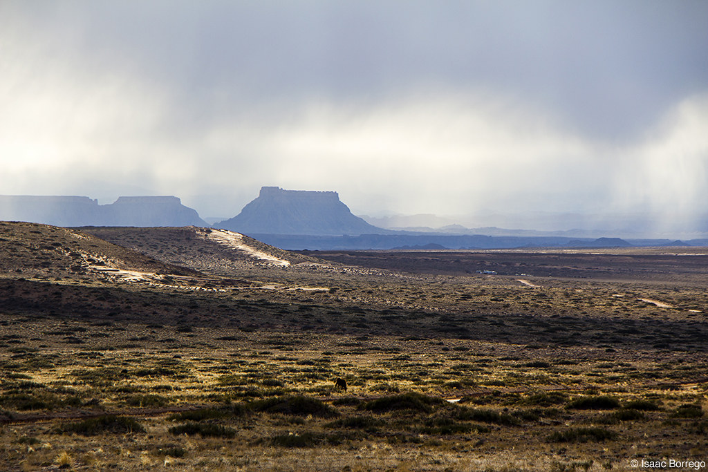
Mist around the Mesas
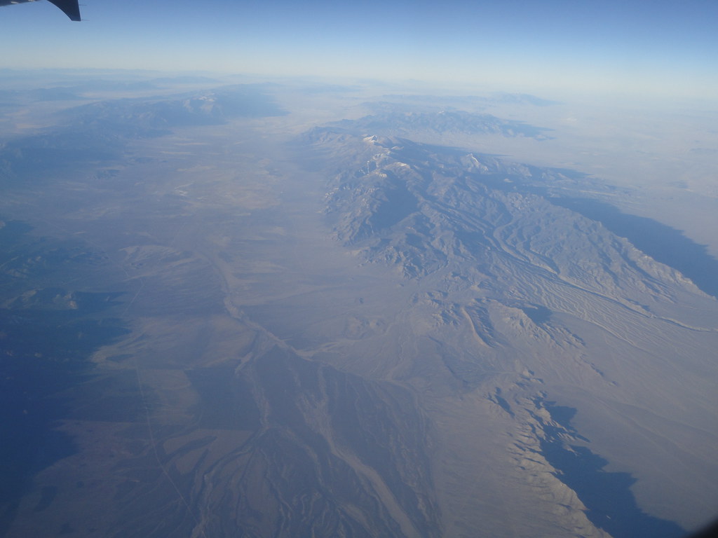
Somewhere Over Nevada

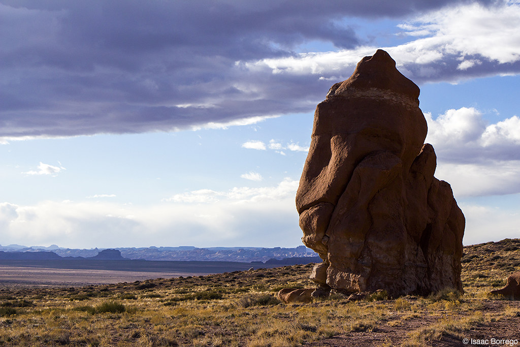
The Cone

Dunes off Emery County Road 1010

Emery County Road 1010 (Utah)
Flowing Desert dunes from Lower San Rafael Road, UT

Desert dunes from Lower San Rafael Road, UT
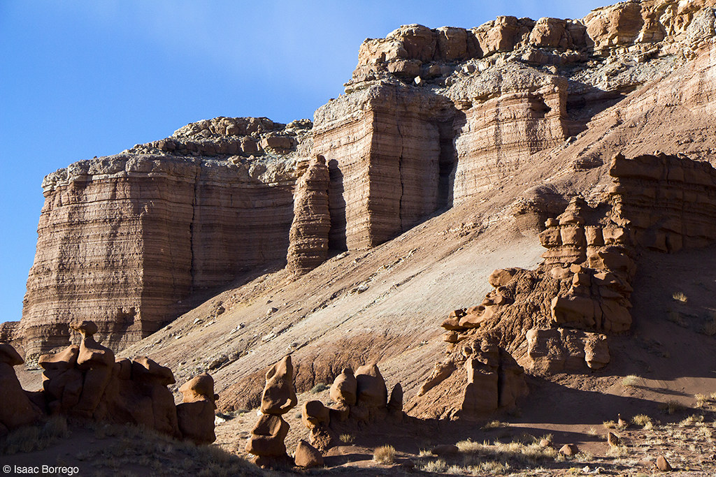
Evening at the Cliffs
Lonely Rock
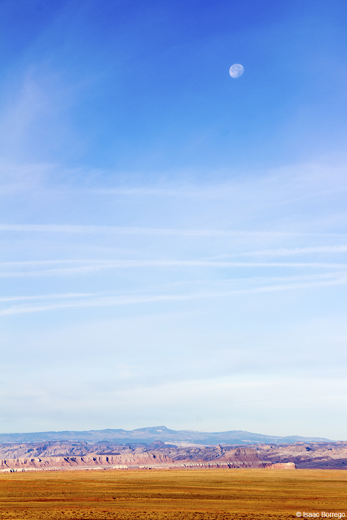
Lunar Landscape
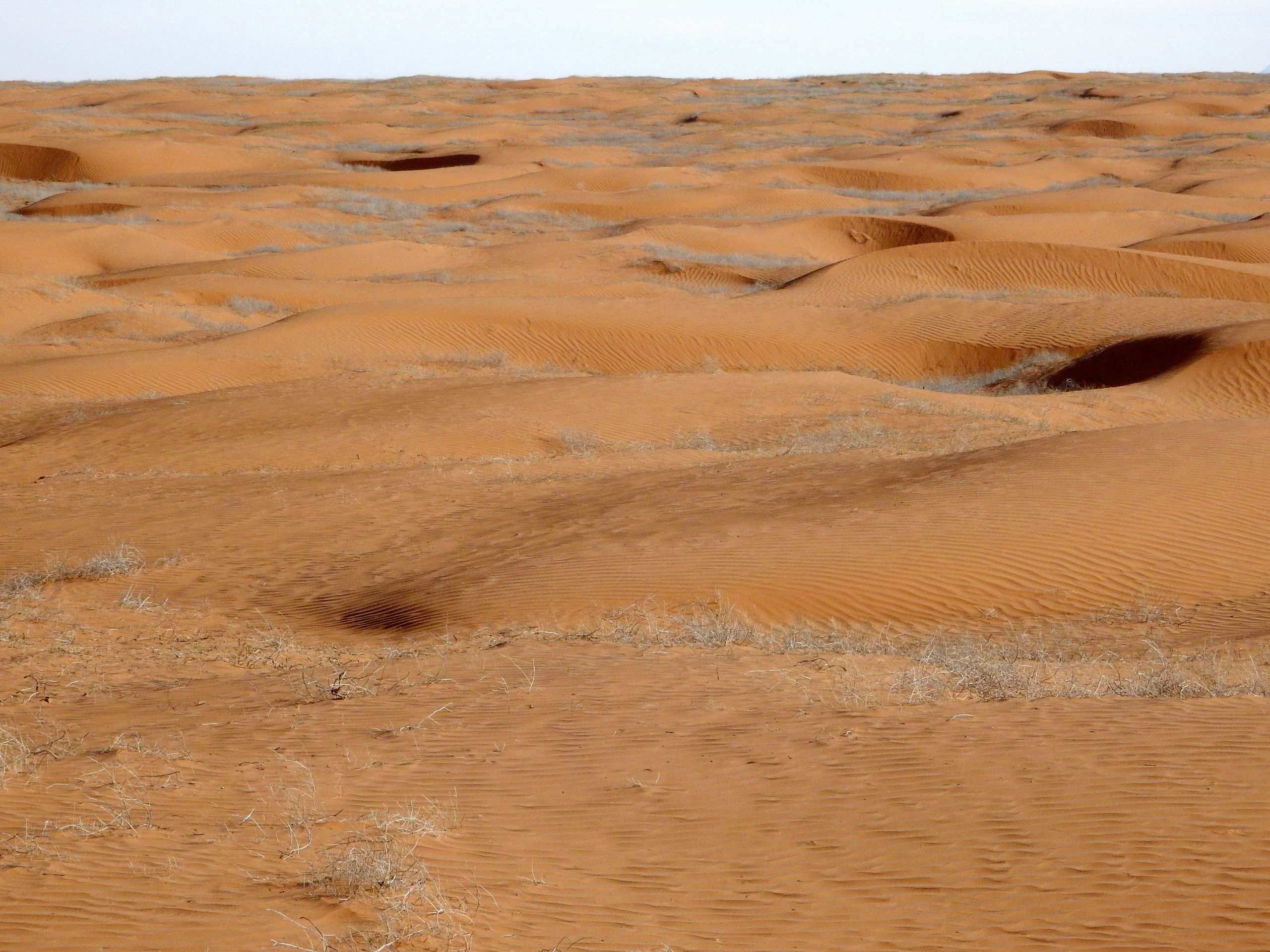
Sand Dune

Mine Shaft at Crow's Nest Spring

Crow's Nest Spring

La Sal Mountains

Lizard Tracks

Gopher Snake

Entrada Sandstone and the La Sals
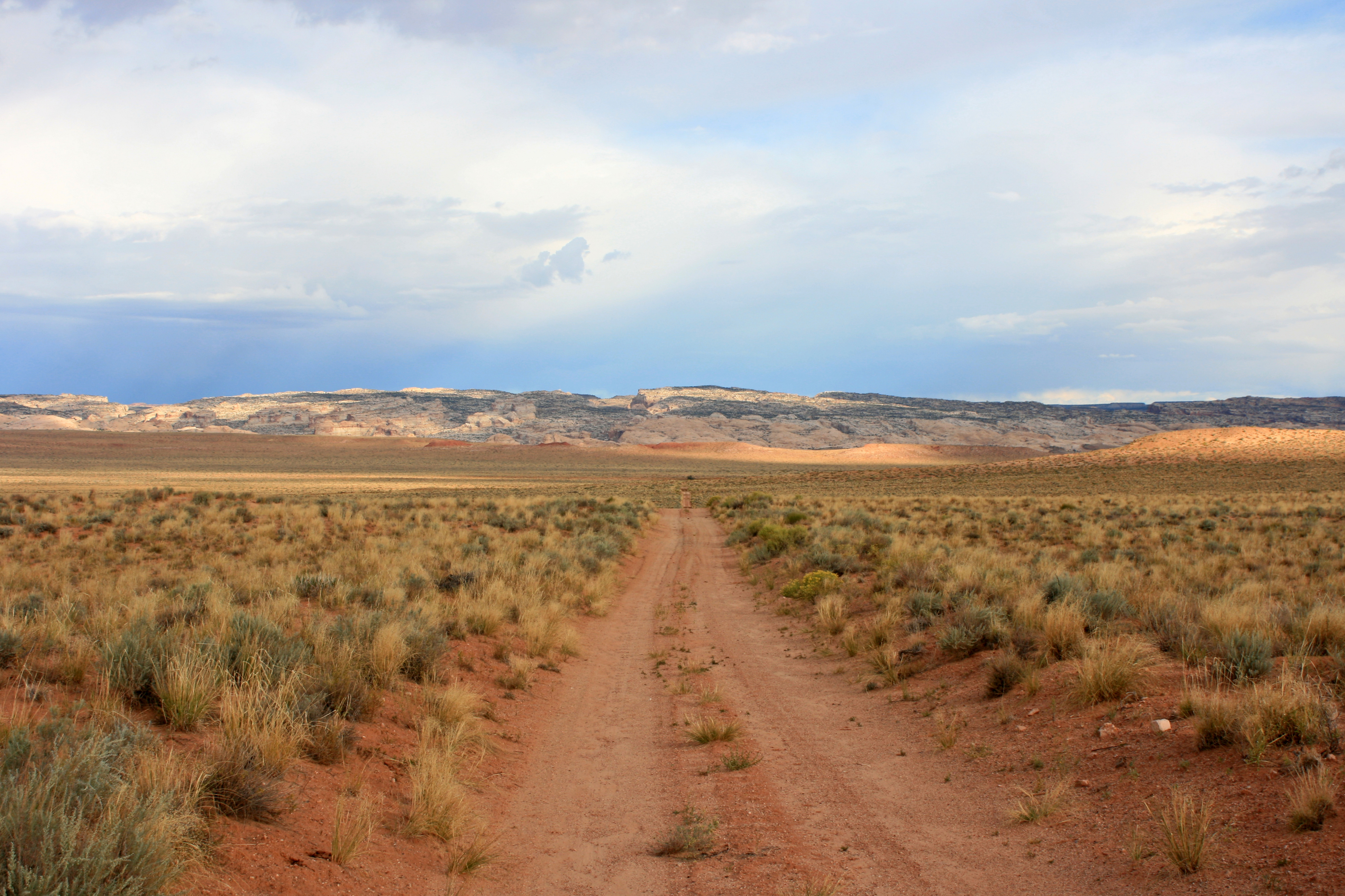
Lost?

Igneous Dike
Dugout Spring, Utah, 美国的地图
查询其他地方的日出日落时间
附近地点
Little Gilson Butte, Utah, 美国
Temple Mountain, Utah, 美国
Goblin Valley Rd, Green River, UT 美国Goblin Valley State Park
San Rafael Swell, Utah, 美国
40 N UT-95, Hanksville, UT 美国Hollow Mountain
E N, Hanksville, UT 美国
美国犹他州汉克斯维尔
美国犹他州格林里弗
Co Rd, Green River, UT 美国Little Wild Horse Canyon & Bell Canyon Trailhead
Horseshoe Bend, Utah, 美国
Cow Dung Road, Hanksville, UT 美国The Mars Desert Research Station - MDRS is a Private Research Facili
Island in the Sky, Utah 美国
美国犹他州韦恩
Mesa Arch Trail, Moab, UT 美国
Moab, UT 美国Mesa Arch
San Rafael River Rd, Green River, UT 美国San Rafael River Road
Lands End, Utah, 美国
美国犹他州峡谷地国家公园
Moab, UT 美国Buck Canyon Overlook
美国犹他州埃默里
最近搜索
- Red Dog Mine, AK, USA的日出日落时间表
- Am bhf, Borken, 德国Am Bahnhof的日出日落时间表
- 4th St E, Sonoma, CA 美国的日出日落时间表
- Oakland Ave, Williamsport, PA 美国的日出日落时间表
- Via Roma, Pieranica CR, Italy的日出日落时间表
- 克罗地亚杜布罗夫尼克 GradClock Tower of Dubrovnik的日出日落时间表
- 阿根廷丘布特省特雷利乌的日出日落时间表
- Hartfords Bluff Cir, Mt Pleasant, SC 美国的日出日落时间表
- 日本熊本县熊本市北区的日出日落时间表
- 中国福州市平潭县平潭岛的日出日落时间表