Joseph Rd, Lillooet, BC V0K 1V0加拿大Bridge River Indian Band的日出日落时间表
Location: 加拿大 > 不列颠哥伦比亚省 > 加拿大 > 加拿大不列颠哥伦比亚省利卢埃特 > V0K >
时区:
America/Vancouver
当地时间:
2025-06-27 09:31:30
经度:
-121.9711983
纬度:
50.7759514
今天日出时间:
04:57:36 AM
今天日落时间:
09:25:05 PM
今天日照时常:
16h 27m 29s
明天日出时间:
04:58:12 AM
明天日落时间:
09:24:53 PM
明天日照时常:
16h 26m 41s
显示所有日期
| 日期 | 日出 | 日落 | 日照时常 |
|---|---|---|---|
| 2025年01月01日 | 08:09:37 AM | 04:14:36 PM | 8h 4m 59s |
| 2025年01月02日 | 08:09:25 AM | 04:15:43 PM | 8h 6m 18s |
| 2025年01月03日 | 08:09:11 AM | 04:16:52 PM | 8h 7m 41s |
| 2025年01月04日 | 08:08:53 AM | 04:18:03 PM | 8h 9m 10s |
| 2025年01月05日 | 08:08:32 AM | 04:19:17 PM | 8h 10m 45s |
| 2025年01月06日 | 08:08:07 AM | 04:20:33 PM | 8h 12m 26s |
| 2025年01月07日 | 08:07:40 AM | 04:21:51 PM | 8h 14m 11s |
| 2025年01月08日 | 08:07:09 AM | 04:23:11 PM | 8h 16m 2s |
| 2025年01月09日 | 08:06:36 AM | 04:24:33 PM | 8h 17m 57s |
| 2025年01月10日 | 08:05:59 AM | 04:25:56 PM | 8h 19m 57s |
| 2025年01月11日 | 08:05:19 AM | 04:27:22 PM | 8h 22m 3s |
| 2025年01月12日 | 08:04:37 AM | 04:28:49 PM | 8h 24m 12s |
| 2025年01月13日 | 08:03:51 AM | 04:30:18 PM | 8h 26m 27s |
| 2025年01月14日 | 08:03:03 AM | 04:31:49 PM | 8h 28m 46s |
| 2025年01月15日 | 08:02:12 AM | 04:33:21 PM | 8h 31m 9s |
| 2025年01月16日 | 08:01:18 AM | 04:34:54 PM | 8h 33m 36s |
| 2025年01月17日 | 08:00:21 AM | 04:36:29 PM | 8h 36m 8s |
| 2025年01月18日 | 07:59:21 AM | 04:38:05 PM | 8h 38m 44s |
| 2025年01月19日 | 07:58:19 AM | 04:39:42 PM | 8h 41m 23s |
| 2025年01月20日 | 07:57:15 AM | 04:41:20 PM | 8h 44m 5s |
| 2025年01月21日 | 07:56:08 AM | 04:42:59 PM | 8h 46m 51s |
| 2025年01月22日 | 07:54:58 AM | 04:44:39 PM | 8h 49m 41s |
| 2025年01月23日 | 07:53:46 AM | 04:46:20 PM | 8h 52m 34s |
| 2025年01月24日 | 07:52:31 AM | 04:48:02 PM | 8h 55m 31s |
| 2025年01月25日 | 07:51:15 AM | 04:49:44 PM | 8h 58m 29s |
| 2025年01月26日 | 07:49:56 AM | 04:51:27 PM | 9h 1m 31s |
| 2025年01月27日 | 07:48:34 AM | 04:53:11 PM | 9h 4m 37s |
| 2025年01月28日 | 07:47:11 AM | 04:54:55 PM | 9h 7m 44s |
| 2025年01月29日 | 07:45:45 AM | 04:56:39 PM | 9h 10m 54s |
| 2025年01月30日 | 07:44:18 AM | 04:58:25 PM | 9h 14m 7s |
| 2025年01月31日 | 07:42:48 AM | 05:00:10 PM | 9h 17m 22s |
| 2025年02月01日 | 07:41:17 AM | 05:01:56 PM | 9h 20m 39s |
| 2025年02月02日 | 07:39:43 AM | 05:03:42 PM | 9h 23m 59s |
| 2025年02月03日 | 07:38:08 AM | 05:05:28 PM | 9h 27m 20s |
| 2025年02月04日 | 07:36:31 AM | 05:07:14 PM | 9h 30m 43s |
| 2025年02月05日 | 07:34:52 AM | 05:09:01 PM | 9h 34m 9s |
| 2025年02月06日 | 07:33:12 AM | 05:10:48 PM | 9h 37m 36s |
| 2025年02月07日 | 07:31:30 AM | 05:12:34 PM | 9h 41m 4s |
| 2025年02月08日 | 07:29:46 AM | 05:14:21 PM | 9h 44m 35s |
| 2025年02月09日 | 07:28:01 AM | 05:16:08 PM | 9h 48m 7s |
| 2025年02月10日 | 07:26:14 AM | 05:17:54 PM | 9h 51m 40s |
| 2025年02月11日 | 07:24:26 AM | 05:19:41 PM | 9h 55m 15s |
| 2025年02月12日 | 07:22:36 AM | 05:21:28 PM | 9h 58m 52s |
| 2025年02月13日 | 07:20:45 AM | 05:23:14 PM | 10h 2m 29s |
| 2025年02月14日 | 07:18:53 AM | 05:25:00 PM | 10h 6m 7s |
| 2025年02月15日 | 07:17:00 AM | 05:26:46 PM | 10h 9m 46s |
| 2025年02月16日 | 07:15:05 AM | 05:28:32 PM | 10h 13m 27s |
| 2025年02月17日 | 07:13:09 AM | 05:30:18 PM | 10h 17m 9s |
| 2025年02月18日 | 07:11:12 AM | 05:32:03 PM | 10h 20m 51s |
| 2025年02月19日 | 07:09:14 AM | 05:33:49 PM | 10h 24m 35s |
| 2025年02月20日 | 07:07:15 AM | 05:35:34 PM | 10h 28m 19s |
| 2025年02月21日 | 07:05:14 AM | 05:37:19 PM | 10h 32m 5s |
| 2025年02月22日 | 07:03:13 AM | 05:39:03 PM | 10h 35m 50s |
| 2025年02月23日 | 07:01:11 AM | 05:40:47 PM | 10h 39m 36s |
| 2025年02月24日 | 06:59:08 AM | 05:42:31 PM | 10h 43m 23s |
| 2025年02月25日 | 06:57:04 AM | 05:44:15 PM | 10h 47m 11s |
| 2025年02月26日 | 06:54:59 AM | 05:45:59 PM | 10h 51m 0s |
| 2025年02月27日 | 06:52:54 AM | 05:47:42 PM | 10h 54m 48s |
| 2025年02月28日 | 06:50:48 AM | 05:49:25 PM | 10h 58m 37s |
| 2025年03月01日 | 06:48:41 AM | 05:51:07 PM | 11h 2m 26s |
| 2025年03月02日 | 06:46:33 AM | 05:52:50 PM | 11h 6m 17s |
| 2025年03月03日 | 06:44:25 AM | 05:54:32 PM | 11h 10m 7s |
| 2025年03月04日 | 06:42:16 AM | 05:56:13 PM | 11h 13m 57s |
| 2025年03月05日 | 06:40:07 AM | 05:57:55 PM | 11h 17m 48s |
| 2025年03月06日 | 06:37:57 AM | 05:59:36 PM | 11h 21m 39s |
| 2025年03月07日 | 06:35:46 AM | 06:01:17 PM | 11h 25m 31s |
| 2025年03月08日 | 06:33:35 AM | 06:02:58 PM | 11h 29m 23s |
| 2025年03月09日 | 07:31:30 AM | 07:04:34 PM | 11h 33m 4s |
| 2025年03月10日 | 07:29:18 AM | 07:06:14 PM | 11h 36m 56s |
| 2025年03月11日 | 07:27:06 AM | 07:07:54 PM | 11h 40m 48s |
| 2025年03月12日 | 07:24:53 AM | 07:09:34 PM | 11h 44m 41s |
| 2025年03月13日 | 07:22:40 AM | 07:11:14 PM | 11h 48m 34s |
| 2025年03月14日 | 07:20:27 AM | 07:12:53 PM | 11h 52m 26s |
| 2025年03月15日 | 07:18:14 AM | 07:14:32 PM | 11h 56m 18s |
| 2025年03月16日 | 07:16:01 AM | 07:16:11 PM | 12h 0m 10s |
| 2025年03月17日 | 07:13:47 AM | 07:17:50 PM | 12h 4m 3s |
| 2025年03月18日 | 07:11:33 AM | 07:19:29 PM | 12h 7m 56s |
| 2025年03月19日 | 07:09:19 AM | 07:21:07 PM | 12h 11m 48s |
| 2025年03月20日 | 07:07:05 AM | 07:22:46 PM | 12h 15m 41s |
| 2025年03月21日 | 07:04:51 AM | 07:24:24 PM | 12h 19m 33s |
| 2025年03月22日 | 07:02:37 AM | 07:26:02 PM | 12h 23m 25s |
| 2025年03月23日 | 07:00:23 AM | 07:27:40 PM | 12h 27m 17s |
| 2025年03月24日 | 06:58:09 AM | 07:29:18 PM | 12h 31m 9s |
| 2025年03月25日 | 06:55:55 AM | 07:30:56 PM | 12h 35m 1s |
| 2025年03月26日 | 06:53:41 AM | 07:32:33 PM | 12h 38m 52s |
| 2025年03月27日 | 06:51:27 AM | 07:34:11 PM | 12h 42m 44s |
| 2025年03月28日 | 06:49:14 AM | 07:35:48 PM | 12h 46m 34s |
| 2025年03月29日 | 06:47:00 AM | 07:37:26 PM | 12h 50m 26s |
| 2025年03月30日 | 06:44:47 AM | 07:39:03 PM | 12h 54m 16s |
| 2025年03月31日 | 06:42:34 AM | 07:40:41 PM | 12h 58m 7s |
| 2025年04月01日 | 06:40:22 AM | 07:42:18 PM | 13h 1m 56s |
| 2025年04月02日 | 06:38:09 AM | 07:43:55 PM | 13h 5m 46s |
| 2025年04月03日 | 06:35:57 AM | 07:45:33 PM | 13h 9m 36s |
| 2025年04月04日 | 06:33:46 AM | 07:47:10 PM | 13h 13m 24s |
| 2025年04月05日 | 06:31:34 AM | 07:48:47 PM | 13h 17m 13s |
| 2025年04月06日 | 06:29:24 AM | 07:50:24 PM | 13h 21m 0s |
| 2025年04月07日 | 06:27:13 AM | 07:52:01 PM | 13h 24m 48s |
| 2025年04月08日 | 06:25:03 AM | 07:53:39 PM | 13h 28m 36s |
| 2025年04月09日 | 06:22:54 AM | 07:55:16 PM | 13h 32m 22s |
| 2025年04月10日 | 06:20:45 AM | 07:56:53 PM | 13h 36m 8s |
| 2025年04月11日 | 06:18:37 AM | 07:58:30 PM | 13h 39m 53s |
| 2025年04月12日 | 06:16:30 AM | 08:00:07 PM | 13h 43m 37s |
| 2025年04月13日 | 06:14:23 AM | 08:01:44 PM | 13h 47m 21s |
| 2025年04月14日 | 06:12:17 AM | 08:03:22 PM | 13h 51m 5s |
| 2025年04月15日 | 06:10:12 AM | 08:04:59 PM | 13h 54m 47s |
| 2025年04月16日 | 06:08:07 AM | 08:06:36 PM | 13h 58m 29s |
| 2025年04月17日 | 06:06:04 AM | 08:08:13 PM | 14h 2m 9s |
| 2025年04月18日 | 06:04:01 AM | 08:09:50 PM | 14h 5m 49s |
| 2025年04月19日 | 06:01:59 AM | 08:11:27 PM | 14h 9m 28s |
| 2025年04月20日 | 05:59:58 AM | 08:13:04 PM | 14h 13m 6s |
| 2025年04月21日 | 05:57:58 AM | 08:14:40 PM | 14h 16m 42s |
| 2025年04月22日 | 05:55:59 AM | 08:16:17 PM | 14h 20m 18s |
| 2025年04月23日 | 05:54:01 AM | 08:17:54 PM | 14h 23m 53s |
| 2025年04月24日 | 05:52:04 AM | 08:19:30 PM | 14h 27m 26s |
| 2025年04月25日 | 05:50:08 AM | 08:21:06 PM | 14h 30m 58s |
| 2025年04月26日 | 05:48:13 AM | 08:22:43 PM | 14h 34m 30s |
| 2025年04月27日 | 05:46:20 AM | 08:24:18 PM | 14h 37m 58s |
| 2025年04月28日 | 05:44:28 AM | 08:25:54 PM | 14h 41m 26s |
| 2025年04月29日 | 05:42:37 AM | 08:27:30 PM | 14h 44m 53s |
| 2025年04月30日 | 05:40:48 AM | 08:29:05 PM | 14h 48m 17s |
| 2025年05月01日 | 05:38:59 AM | 08:30:40 PM | 14h 51m 41s |
| 2025年05月02日 | 05:37:13 AM | 08:32:14 PM | 14h 55m 1s |
| 2025年05月03日 | 05:35:28 AM | 08:33:49 PM | 14h 58m 21s |
| 2025年05月04日 | 05:33:44 AM | 08:35:22 PM | 15h 1m 38s |
| 2025年05月05日 | 05:32:02 AM | 08:36:56 PM | 15h 4m 54s |
| 2025年05月06日 | 05:30:21 AM | 08:38:29 PM | 15h 8m 8s |
| 2025年05月07日 | 05:28:42 AM | 08:40:01 PM | 15h 11m 19s |
| 2025年05月08日 | 05:27:05 AM | 08:41:33 PM | 15h 14m 28s |
| 2025年05月09日 | 05:25:30 AM | 08:43:04 PM | 15h 17m 34s |
| 2025年05月10日 | 05:23:56 AM | 08:44:35 PM | 15h 20m 39s |
| 2025年05月11日 | 05:22:24 AM | 08:46:04 PM | 15h 23m 40s |
| 2025年05月12日 | 05:20:54 AM | 08:47:34 PM | 15h 26m 40s |
| 2025年05月13日 | 05:19:26 AM | 08:49:02 PM | 15h 29m 36s |
| 2025年05月14日 | 05:18:00 AM | 08:50:29 PM | 15h 32m 29s |
| 2025年05月15日 | 05:16:36 AM | 08:51:56 PM | 15h 35m 20s |
| 2025年05月16日 | 05:15:15 AM | 08:53:22 PM | 15h 38m 7s |
| 2025年05月17日 | 05:13:55 AM | 08:54:46 PM | 15h 40m 51s |
| 2025年05月18日 | 05:12:37 AM | 08:56:10 PM | 15h 43m 33s |
| 2025年05月19日 | 05:11:22 AM | 08:57:32 PM | 15h 46m 10s |
| 2025年05月20日 | 05:10:09 AM | 08:58:53 PM | 15h 48m 44s |
| 2025年05月21日 | 05:08:58 AM | 09:00:13 PM | 15h 51m 15s |
| 2025年05月22日 | 05:07:50 AM | 09:01:32 PM | 15h 53m 42s |
| 2025年05月23日 | 05:06:44 AM | 09:02:49 PM | 15h 56m 5s |
| 2025年05月24日 | 05:05:40 AM | 09:04:04 PM | 15h 58m 24s |
| 2025年05月25日 | 05:04:39 AM | 09:05:19 PM | 16h 0m 40s |
| 2025年05月26日 | 05:03:41 AM | 09:06:31 PM | 16h 2m 50s |
| 2025年05月27日 | 05:02:45 AM | 09:07:42 PM | 16h 4m 57s |
| 2025年05月28日 | 05:01:52 AM | 09:08:51 PM | 16h 6m 59s |
| 2025年05月29日 | 05:01:01 AM | 09:09:59 PM | 16h 8m 58s |
| 2025年05月30日 | 05:00:13 AM | 09:11:04 PM | 16h 10m 51s |
| 2025年05月31日 | 04:59:28 AM | 09:12:08 PM | 16h 12m 40s |
| 2025年06月01日 | 04:58:46 AM | 09:13:09 PM | 16h 14m 23s |
| 2025年06月02日 | 04:58:06 AM | 09:14:09 PM | 16h 16m 3s |
| 2025年06月03日 | 04:57:29 AM | 09:15:06 PM | 16h 17m 37s |
| 2025年06月04日 | 04:56:55 AM | 09:16:02 PM | 16h 19m 7s |
| 2025年06月05日 | 04:56:24 AM | 09:16:55 PM | 16h 20m 31s |
| 2025年06月06日 | 04:55:56 AM | 09:17:45 PM | 16h 21m 49s |
| 2025年06月07日 | 04:55:31 AM | 09:18:34 PM | 16h 23m 3s |
| 2025年06月08日 | 04:55:09 AM | 09:19:19 PM | 16h 24m 10s |
| 2025年06月09日 | 04:54:49 AM | 09:20:03 PM | 16h 25m 14s |
| 2025年06月10日 | 04:54:33 AM | 09:20:44 PM | 16h 26m 11s |
| 2025年06月11日 | 04:54:20 AM | 09:21:22 PM | 16h 27m 2s |
| 2025年06月12日 | 04:54:09 AM | 09:21:57 PM | 16h 27m 48s |
| 2025年06月13日 | 04:54:02 AM | 09:22:30 PM | 16h 28m 28s |
| 2025年06月14日 | 04:53:57 AM | 09:23:00 PM | 16h 29m 3s |
| 2025年06月15日 | 04:53:56 AM | 09:23:28 PM | 16h 29m 32s |
| 2025年06月16日 | 04:53:57 AM | 09:23:52 PM | 16h 29m 55s |
| 2025年06月17日 | 04:54:02 AM | 09:24:14 PM | 16h 30m 12s |
| 2025年06月18日 | 04:54:09 AM | 09:24:33 PM | 16h 30m 24s |
| 2025年06月19日 | 04:54:19 AM | 09:24:49 PM | 16h 30m 30s |
| 2025年06月20日 | 04:54:32 AM | 09:25:02 PM | 16h 30m 30s |
| 2025年06月21日 | 04:54:48 AM | 09:25:12 PM | 16h 30m 24s |
| 2025年06月22日 | 04:55:07 AM | 09:25:19 PM | 16h 30m 12s |
| 2025年06月23日 | 04:55:29 AM | 09:25:23 PM | 16h 29m 54s |
| 2025年06月24日 | 04:55:53 AM | 09:25:24 PM | 16h 29m 31s |
| 2025年06月25日 | 04:56:20 AM | 09:25:22 PM | 16h 29m 2s |
| 2025年06月26日 | 04:56:50 AM | 09:25:17 PM | 16h 28m 27s |
| 2025年06月27日 | 04:57:23 AM | 09:25:09 PM | 16h 27m 46s |
| 2025年06月28日 | 04:57:58 AM | 09:24:58 PM | 16h 27m 0s |
| 2025年06月29日 | 04:58:36 AM | 09:24:44 PM | 16h 26m 8s |
| 2025年06月30日 | 04:59:16 AM | 09:24:27 PM | 16h 25m 11s |
| 2025年07月01日 | 04:59:59 AM | 09:24:07 PM | 16h 24m 8s |
| 2025年07月02日 | 05:00:44 AM | 09:23:43 PM | 16h 22m 59s |
| 2025年07月03日 | 05:01:31 AM | 09:23:17 PM | 16h 21m 46s |
| 2025年07月04日 | 05:02:21 AM | 09:22:48 PM | 16h 20m 27s |
| 2025年07月05日 | 05:03:13 AM | 09:22:16 PM | 16h 19m 3s |
| 2025年07月06日 | 05:04:07 AM | 09:21:42 PM | 16h 17m 35s |
| 2025年07月07日 | 05:05:03 AM | 09:21:04 PM | 16h 16m 1s |
| 2025年07月08日 | 05:06:01 AM | 09:20:23 PM | 16h 14m 22s |
| 2025年07月09日 | 05:07:02 AM | 09:19:40 PM | 16h 12m 38s |
| 2025年07月10日 | 05:08:04 AM | 09:18:54 PM | 16h 10m 50s |
| 2025年07月11日 | 05:09:08 AM | 09:18:05 PM | 16h 8m 57s |
| 2025年07月12日 | 05:10:13 AM | 09:17:13 PM | 16h 7m 0s |
| 2025年07月13日 | 05:11:21 AM | 09:16:19 PM | 16h 4m 58s |
| 2025年07月14日 | 05:12:30 AM | 09:15:22 PM | 16h 2m 52s |
| 2025年07月15日 | 05:13:40 AM | 09:14:22 PM | 16h 0m 42s |
| 2025年07月16日 | 05:14:52 AM | 09:13:20 PM | 15h 58m 28s |
| 2025年07月17日 | 05:16:06 AM | 09:12:16 PM | 15h 56m 10s |
| 2025年07月18日 | 05:17:21 AM | 09:11:09 PM | 15h 53m 48s |
| 2025年07月19日 | 05:18:37 AM | 09:09:59 PM | 15h 51m 22s |
| 2025年07月20日 | 05:19:54 AM | 09:08:47 PM | 15h 48m 53s |
| 2025年07月21日 | 05:21:13 AM | 09:07:33 PM | 15h 46m 20s |
| 2025年07月22日 | 05:22:33 AM | 09:06:17 PM | 15h 43m 44s |
| 2025年07月23日 | 05:23:54 AM | 09:04:58 PM | 15h 41m 4s |
| 2025年07月24日 | 05:25:15 AM | 09:03:37 PM | 15h 38m 22s |
| 2025年07月25日 | 05:26:38 AM | 09:02:14 PM | 15h 35m 36s |
| 2025年07月26日 | 05:28:02 AM | 09:00:49 PM | 15h 32m 47s |
| 2025年07月27日 | 05:29:26 AM | 08:59:22 PM | 15h 29m 56s |
| 2025年07月28日 | 05:30:51 AM | 08:57:53 PM | 15h 27m 2s |
| 2025年07月29日 | 05:32:17 AM | 08:56:22 PM | 15h 24m 5s |
| 2025年07月30日 | 05:33:44 AM | 08:54:49 PM | 15h 21m 5s |
| 2025年07月31日 | 05:35:11 AM | 08:53:14 PM | 15h 18m 3s |
| 2025年08月01日 | 05:36:39 AM | 08:51:38 PM | 15h 14m 59s |
| 2025年08月02日 | 05:38:08 AM | 08:49:59 PM | 15h 11m 51s |
| 2025年08月03日 | 05:39:36 AM | 08:48:19 PM | 15h 8m 43s |
| 2025年08月04日 | 05:41:06 AM | 08:46:38 PM | 15h 5m 32s |
| 2025年08月05日 | 05:42:35 AM | 08:44:54 PM | 15h 2m 19s |
| 2025年08月06日 | 05:44:06 AM | 08:43:10 PM | 14h 59m 4s |
| 2025年08月07日 | 05:45:36 AM | 08:41:23 PM | 14h 55m 47s |
| 2025年08月08日 | 05:47:07 AM | 08:39:35 PM | 14h 52m 28s |
| 2025年08月09日 | 05:48:38 AM | 08:37:46 PM | 14h 49m 8s |
| 2025年08月10日 | 05:50:09 AM | 08:35:56 PM | 14h 45m 47s |
| 2025年08月11日 | 05:51:40 AM | 08:34:04 PM | 14h 42m 24s |
| 2025年08月12日 | 05:53:12 AM | 08:32:10 PM | 14h 38m 58s |
| 2025年08月13日 | 05:54:44 AM | 08:30:16 PM | 14h 35m 32s |
| 2025年08月14日 | 05:56:16 AM | 08:28:20 PM | 14h 32m 4s |
| 2025年08月15日 | 05:57:48 AM | 08:26:23 PM | 14h 28m 35s |
| 2025年08月16日 | 05:59:20 AM | 08:24:25 PM | 14h 25m 5s |
| 2025年08月17日 | 06:00:53 AM | 08:22:26 PM | 14h 21m 33s |
| 2025年08月18日 | 06:02:25 AM | 08:20:26 PM | 14h 18m 1s |
| 2025年08月19日 | 06:03:57 AM | 08:18:24 PM | 14h 14m 27s |
| 2025年08月20日 | 06:05:30 AM | 08:16:22 PM | 14h 10m 52s |
| 2025年08月21日 | 06:07:02 AM | 08:14:19 PM | 14h 7m 17s |
| 2025年08月22日 | 06:08:35 AM | 08:12:15 PM | 14h 3m 40s |
| 2025年08月23日 | 06:10:07 AM | 08:10:10 PM | 14h 0m 3s |
| 2025年08月24日 | 06:11:40 AM | 08:08:05 PM | 13h 56m 25s |
| 2025年08月25日 | 06:13:12 AM | 08:05:58 PM | 13h 52m 46s |
| 2025年08月26日 | 06:14:45 AM | 08:03:51 PM | 13h 49m 6s |
| 2025年08月27日 | 06:16:17 AM | 08:01:43 PM | 13h 45m 26s |
| 2025年08月28日 | 06:17:50 AM | 07:59:34 PM | 13h 41m 44s |
| 2025年08月29日 | 06:19:22 AM | 07:57:25 PM | 13h 38m 3s |
| 2025年08月30日 | 06:20:55 AM | 07:55:15 PM | 13h 34m 20s |
| 2025年08月31日 | 06:22:27 AM | 07:53:04 PM | 13h 30m 37s |
| 2025年09月01日 | 06:23:59 AM | 07:50:53 PM | 13h 26m 54s |
| 2025年09月02日 | 06:25:32 AM | 07:48:42 PM | 13h 23m 10s |
| 2025年09月03日 | 06:27:04 AM | 07:46:30 PM | 13h 19m 26s |
| 2025年09月04日 | 06:28:36 AM | 07:44:17 PM | 13h 15m 41s |
| 2025年09月05日 | 06:30:08 AM | 07:42:04 PM | 13h 11m 56s |
| 2025年09月06日 | 06:31:41 AM | 07:39:51 PM | 13h 8m 10s |
| 2025年09月07日 | 06:33:13 AM | 07:37:37 PM | 13h 4m 24s |
| 2025年09月08日 | 06:34:45 AM | 07:35:23 PM | 13h 0m 38s |
| 2025年09月09日 | 06:36:18 AM | 07:33:09 PM | 12h 56m 51s |
| 2025年09月10日 | 06:37:50 AM | 07:30:54 PM | 12h 53m 4s |
| 2025年09月11日 | 06:39:22 AM | 07:28:39 PM | 12h 49m 17s |
| 2025年09月12日 | 06:40:55 AM | 07:26:24 PM | 12h 45m 29s |
| 2025年09月13日 | 06:42:27 AM | 07:24:09 PM | 12h 41m 42s |
| 2025年09月14日 | 06:44:00 AM | 07:21:54 PM | 12h 37m 54s |
| 2025年09月15日 | 06:45:32 AM | 07:19:38 PM | 12h 34m 6s |
| 2025年09月16日 | 06:47:05 AM | 07:17:23 PM | 12h 30m 18s |
| 2025年09月17日 | 06:48:38 AM | 07:15:07 PM | 12h 26m 29s |
| 2025年09月18日 | 06:50:11 AM | 07:12:51 PM | 12h 22m 40s |
| 2025年09月19日 | 06:51:44 AM | 07:10:36 PM | 12h 18m 52s |
| 2025年09月20日 | 06:53:17 AM | 07:08:20 PM | 12h 15m 3s |
| 2025年09月21日 | 06:54:50 AM | 07:06:05 PM | 12h 11m 15s |
| 2025年09月22日 | 06:56:23 AM | 07:03:49 PM | 12h 7m 26s |
| 2025年09月23日 | 06:57:57 AM | 07:01:34 PM | 12h 3m 37s |
| 2025年09月24日 | 06:59:31 AM | 06:59:19 PM | 11h 59m 48s |
| 2025年09月25日 | 07:01:04 AM | 06:57:04 PM | 11h 56m 0s |
| 2025年09月26日 | 07:02:39 AM | 06:54:49 PM | 11h 52m 10s |
| 2025年09月27日 | 07:04:13 AM | 06:52:34 PM | 11h 48m 21s |
| 2025年09月28日 | 07:05:47 AM | 06:50:20 PM | 11h 44m 33s |
| 2025年09月29日 | 07:07:22 AM | 06:48:06 PM | 11h 40m 44s |
| 2025年09月30日 | 07:08:57 AM | 06:45:52 PM | 11h 36m 55s |
| 2025年10月01日 | 07:10:32 AM | 06:43:39 PM | 11h 33m 7s |
| 2025年10月02日 | 07:12:07 AM | 06:41:26 PM | 11h 29m 19s |
| 2025年10月03日 | 07:13:43 AM | 06:39:13 PM | 11h 25m 30s |
| 2025年10月04日 | 07:15:19 AM | 06:37:01 PM | 11h 21m 42s |
| 2025年10月05日 | 07:16:55 AM | 06:34:50 PM | 11h 17m 55s |
| 2025年10月06日 | 07:18:32 AM | 06:32:39 PM | 11h 14m 7s |
| 2025年10月07日 | 07:20:09 AM | 06:30:28 PM | 11h 10m 19s |
| 2025年10月08日 | 07:21:46 AM | 06:28:18 PM | 11h 6m 32s |
| 2025年10月09日 | 07:23:23 AM | 06:26:09 PM | 11h 2m 46s |
| 2025年10月10日 | 07:25:01 AM | 06:24:01 PM | 10h 59m 0s |
| 2025年10月11日 | 07:26:39 AM | 06:21:53 PM | 10h 55m 14s |
| 2025年10月12日 | 07:28:17 AM | 06:19:46 PM | 10h 51m 29s |
| 2025年10月13日 | 07:29:55 AM | 06:17:39 PM | 10h 47m 44s |
| 2025年10月14日 | 07:31:34 AM | 06:15:34 PM | 10h 44m 0s |
| 2025年10月15日 | 07:33:13 AM | 06:13:29 PM | 10h 40m 16s |
| 2025年10月16日 | 07:34:53 AM | 06:11:25 PM | 10h 36m 32s |
| 2025年10月17日 | 07:36:33 AM | 06:09:22 PM | 10h 32m 49s |
| 2025年10月18日 | 07:38:13 AM | 06:07:20 PM | 10h 29m 7s |
| 2025年10月19日 | 07:39:53 AM | 06:05:19 PM | 10h 25m 26s |
| 2025年10月20日 | 07:41:34 AM | 06:03:19 PM | 10h 21m 45s |
| 2025年10月21日 | 07:43:15 AM | 06:01:20 PM | 10h 18m 5s |
| 2025年10月22日 | 07:44:56 AM | 05:59:22 PM | 10h 14m 26s |
| 2025年10月23日 | 07:46:37 AM | 05:57:25 PM | 10h 10m 48s |
| 2025年10月24日 | 07:48:19 AM | 05:55:30 PM | 10h 7m 11s |
| 2025年10月25日 | 07:50:01 AM | 05:53:36 PM | 10h 3m 35s |
| 2025年10月26日 | 07:51:43 AM | 05:51:43 PM | 10h 0m 0s |
| 2025年10月27日 | 07:53:25 AM | 05:49:51 PM | 9h 56m 26s |
| 2025年10月28日 | 07:55:07 AM | 05:48:01 PM | 9h 52m 54s |
| 2025年10月29日 | 07:56:50 AM | 05:46:12 PM | 9h 49m 22s |
| 2025年10月30日 | 07:58:32 AM | 05:44:25 PM | 9h 45m 53s |
| 2025年10月31日 | 08:00:15 AM | 05:42:39 PM | 9h 42m 24s |
| 2025年11月01日 | 08:01:58 AM | 05:40:55 PM | 9h 38m 57s |
| 2025年11月02日 | 07:03:45 AM | 04:39:08 PM | 9h 35m 23s |
| 2025年11月03日 | 07:05:27 AM | 04:37:27 PM | 9h 32m 0s |
| 2025年11月04日 | 07:07:10 AM | 04:35:48 PM | 9h 28m 38s |
| 2025年11月05日 | 07:08:52 AM | 04:34:10 PM | 9h 25m 18s |
| 2025年11月06日 | 07:10:35 AM | 04:32:34 PM | 9h 21m 59s |
| 2025年11月07日 | 07:12:17 AM | 04:31:01 PM | 9h 18m 44s |
| 2025年11月08日 | 07:13:59 AM | 04:29:29 PM | 9h 15m 30s |
| 2025年11月09日 | 07:15:41 AM | 04:27:59 PM | 9h 12m 18s |
| 2025年11月10日 | 07:17:22 AM | 04:26:31 PM | 9h 9m 9s |
| 2025年11月11日 | 07:19:03 AM | 04:25:05 PM | 9h 6m 2s |
| 2025年11月12日 | 07:20:44 AM | 04:23:41 PM | 9h 2m 57s |
| 2025年11月13日 | 07:22:24 AM | 04:22:20 PM | 8h 59m 56s |
| 2025年11月14日 | 07:24:04 AM | 04:21:00 PM | 8h 56m 56s |
| 2025年11月15日 | 07:25:43 AM | 04:19:43 PM | 8h 54m 0s |
| 2025年11月16日 | 07:27:21 AM | 04:18:29 PM | 8h 51m 8s |
| 2025年11月17日 | 07:28:59 AM | 04:17:16 PM | 8h 48m 17s |
| 2025年11月18日 | 07:30:36 AM | 04:16:07 PM | 8h 45m 31s |
| 2025年11月19日 | 07:32:12 AM | 04:14:59 PM | 8h 42m 47s |
| 2025年11月20日 | 07:33:47 AM | 04:13:55 PM | 8h 40m 8s |
| 2025年11月21日 | 07:35:21 AM | 04:12:52 PM | 8h 37m 31s |
| 2025年11月22日 | 07:36:53 AM | 04:11:53 PM | 8h 35m 0s |
| 2025年11月23日 | 07:38:25 AM | 04:10:56 PM | 8h 32m 31s |
| 2025年11月24日 | 07:39:56 AM | 04:10:02 PM | 8h 30m 6s |
| 2025年11月25日 | 07:41:25 AM | 04:09:11 PM | 8h 27m 46s |
| 2025年11月26日 | 07:42:53 AM | 04:08:22 PM | 8h 25m 29s |
| 2025年11月27日 | 07:44:19 AM | 04:07:37 PM | 8h 23m 18s |
| 2025年11月28日 | 07:45:44 AM | 04:06:54 PM | 8h 21m 10s |
| 2025年11月29日 | 07:47:07 AM | 04:06:15 PM | 8h 19m 8s |
| 2025年11月30日 | 07:48:28 AM | 04:05:38 PM | 8h 17m 10s |
| 2025年12月01日 | 07:49:48 AM | 04:05:05 PM | 8h 15m 17s |
| 2025年12月02日 | 07:51:05 AM | 04:04:34 PM | 8h 13m 29s |
| 2025年12月03日 | 07:52:21 AM | 04:04:07 PM | 8h 11m 46s |
| 2025年12月04日 | 07:53:35 AM | 04:03:43 PM | 8h 10m 8s |
| 2025年12月05日 | 07:54:46 AM | 04:03:22 PM | 8h 8m 36s |
| 2025年12月06日 | 07:55:56 AM | 04:03:05 PM | 8h 7m 9s |
| 2025年12月07日 | 07:57:03 AM | 04:02:50 PM | 8h 5m 47s |
| 2025年12月08日 | 07:58:07 AM | 04:02:39 PM | 8h 4m 32s |
| 2025年12月09日 | 07:59:09 AM | 04:02:32 PM | 8h 3m 23s |
| 2025年12月10日 | 08:00:09 AM | 04:02:27 PM | 8h 2m 18s |
| 2025年12月11日 | 08:01:06 AM | 04:02:26 PM | 8h 1m 20s |
| 2025年12月12日 | 08:02:01 AM | 04:02:28 PM | 8h 0m 27s |
| 2025年12月13日 | 08:02:53 AM | 04:02:34 PM | 7h 59m 41s |
| 2025年12月14日 | 08:03:42 AM | 04:02:42 PM | 7h 59m 0s |
| 2025年12月15日 | 08:04:28 AM | 04:02:54 PM | 7h 58m 26s |
| 2025年12月16日 | 08:05:11 AM | 04:03:10 PM | 7h 57m 59s |
| 2025年12月17日 | 08:05:51 AM | 04:03:28 PM | 7h 57m 37s |
| 2025年12月18日 | 08:06:29 AM | 04:03:50 PM | 7h 57m 21s |
| 2025年12月19日 | 08:07:03 AM | 04:04:16 PM | 7h 57m 13s |
| 2025年12月20日 | 08:07:34 AM | 04:04:44 PM | 7h 57m 10s |
| 2025年12月21日 | 08:08:02 AM | 04:05:16 PM | 7h 57m 14s |
| 2025年12月22日 | 08:08:27 AM | 04:05:50 PM | 7h 57m 23s |
| 2025年12月23日 | 08:08:49 AM | 04:06:28 PM | 7h 57m 39s |
| 2025年12月24日 | 08:09:07 AM | 04:07:09 PM | 7h 58m 2s |
| 2025年12月25日 | 08:09:23 AM | 04:07:53 PM | 7h 58m 30s |
| 2025年12月26日 | 08:09:35 AM | 04:08:40 PM | 7h 59m 5s |
| 2025年12月27日 | 08:09:44 AM | 04:09:30 PM | 7h 59m 46s |
| 2025年12月28日 | 08:09:49 AM | 04:10:22 PM | 8h 0m 33s |
| 2025年12月29日 | 08:09:52 AM | 04:11:18 PM | 8h 1m 26s |
| 2025年12月30日 | 08:09:51 AM | 04:12:16 PM | 8h 2m 25s |
| 2025年12月31日 | 08:09:46 AM | 04:13:17 PM | 8h 3m 31s |
日出日落照片
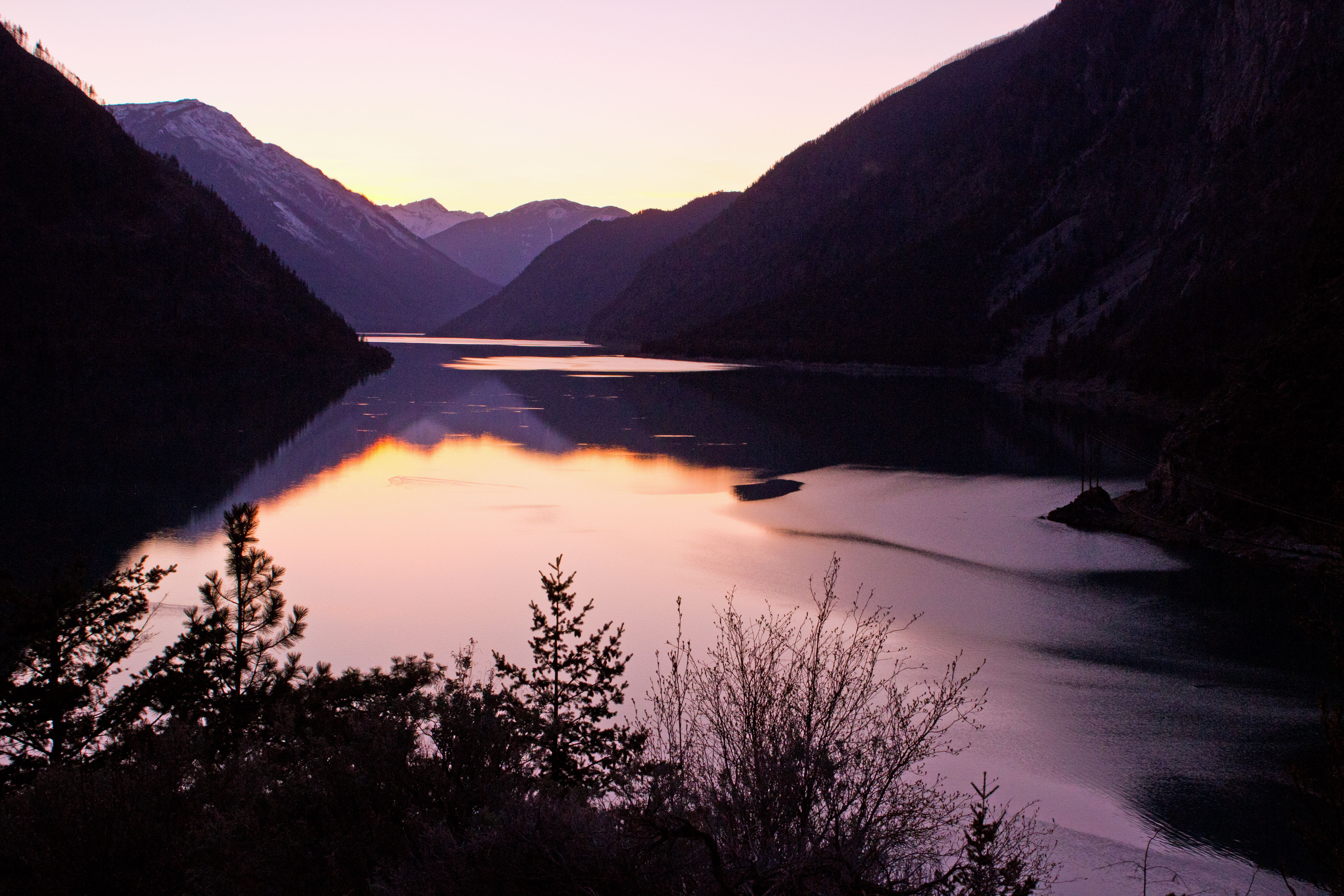
Lillooet, Seton Lake Sunset
AS THE EAGLE FLIES

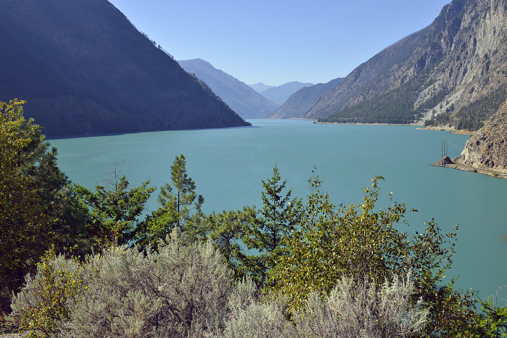
Seton Lake
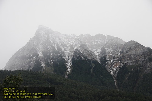
Hwy 99 VF2_9391.JPG

View of Seton Lake
British Columbia, Canada
Hwy 99 VF2_9390.JPG
Hwy 99 VF2_9393.JPG
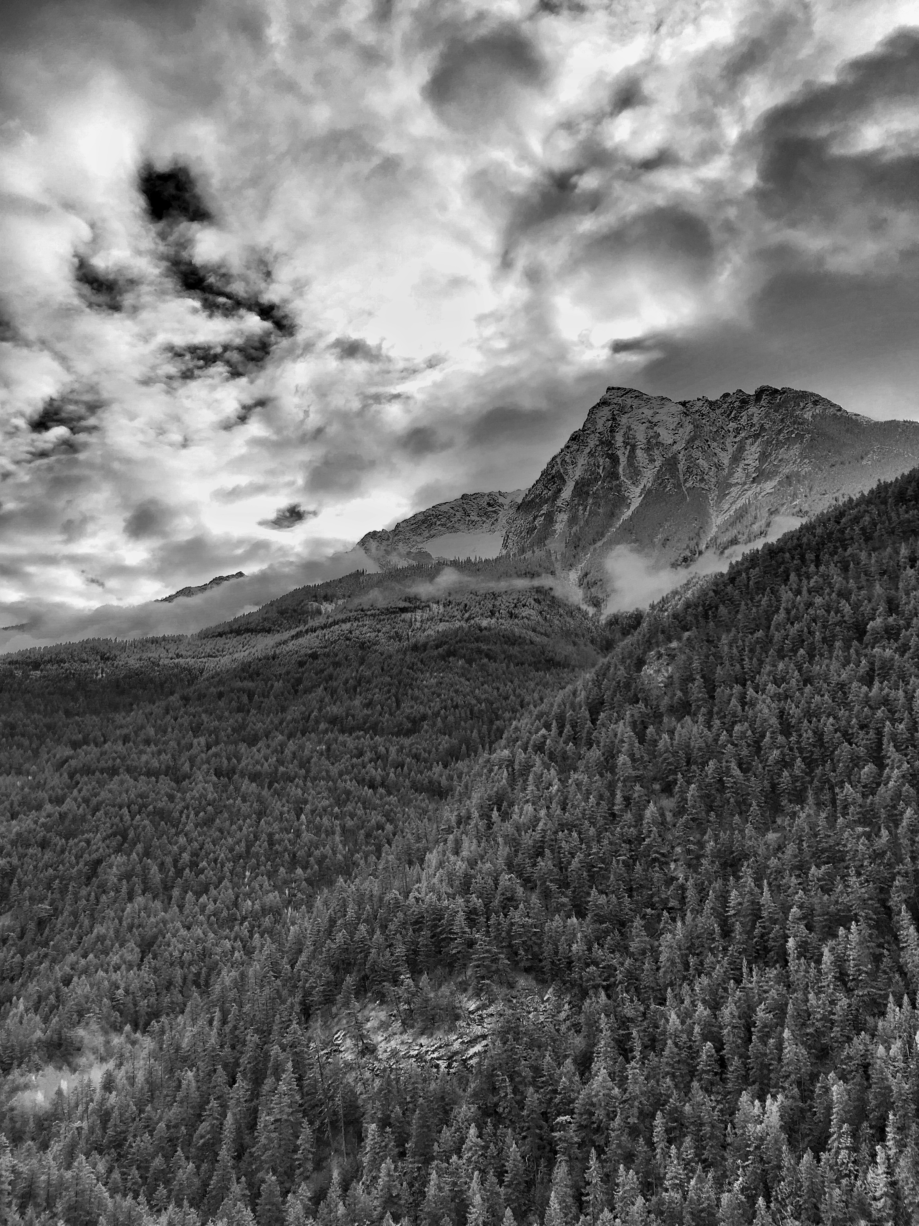
Long Road out of Whistler
Long Road out of Whistler
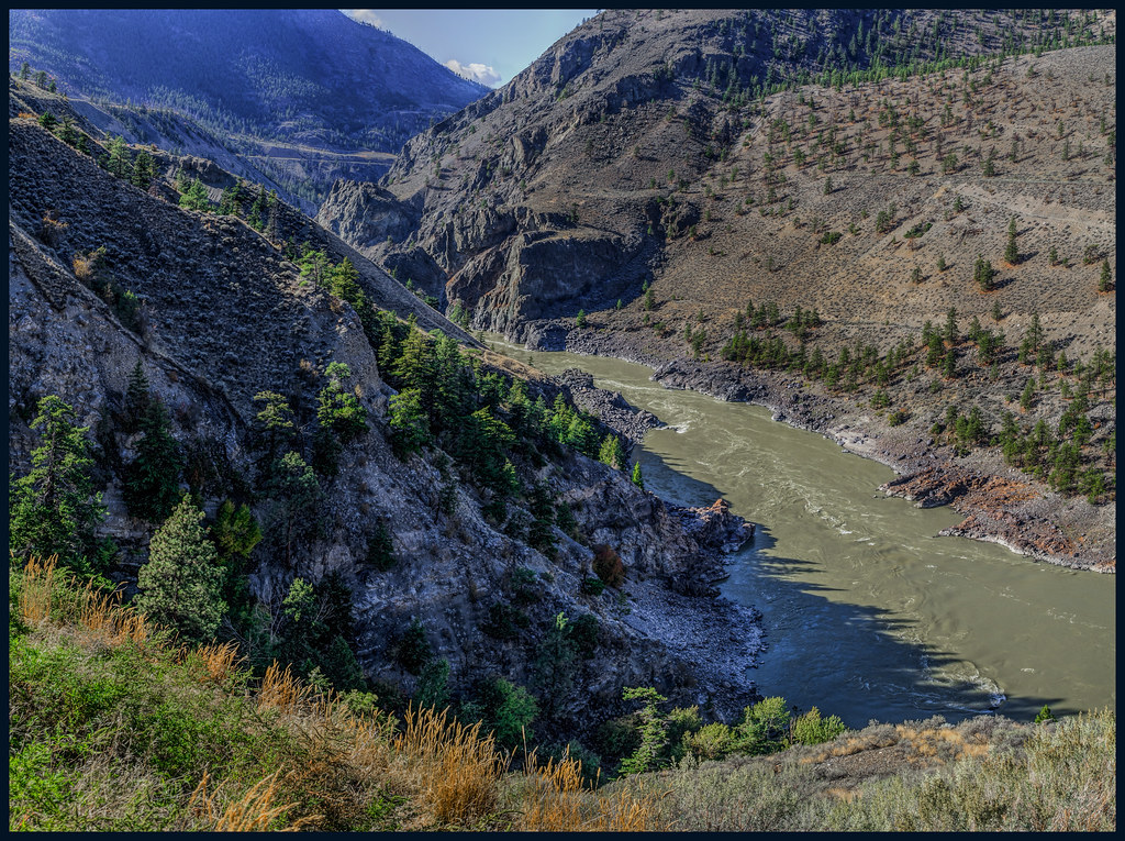
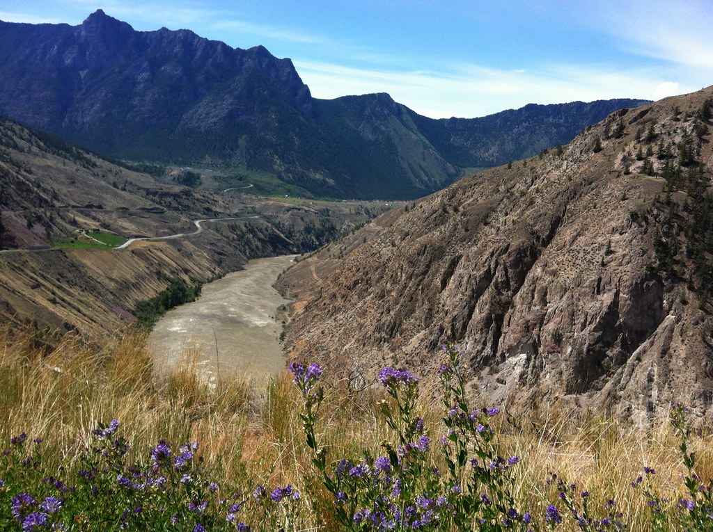
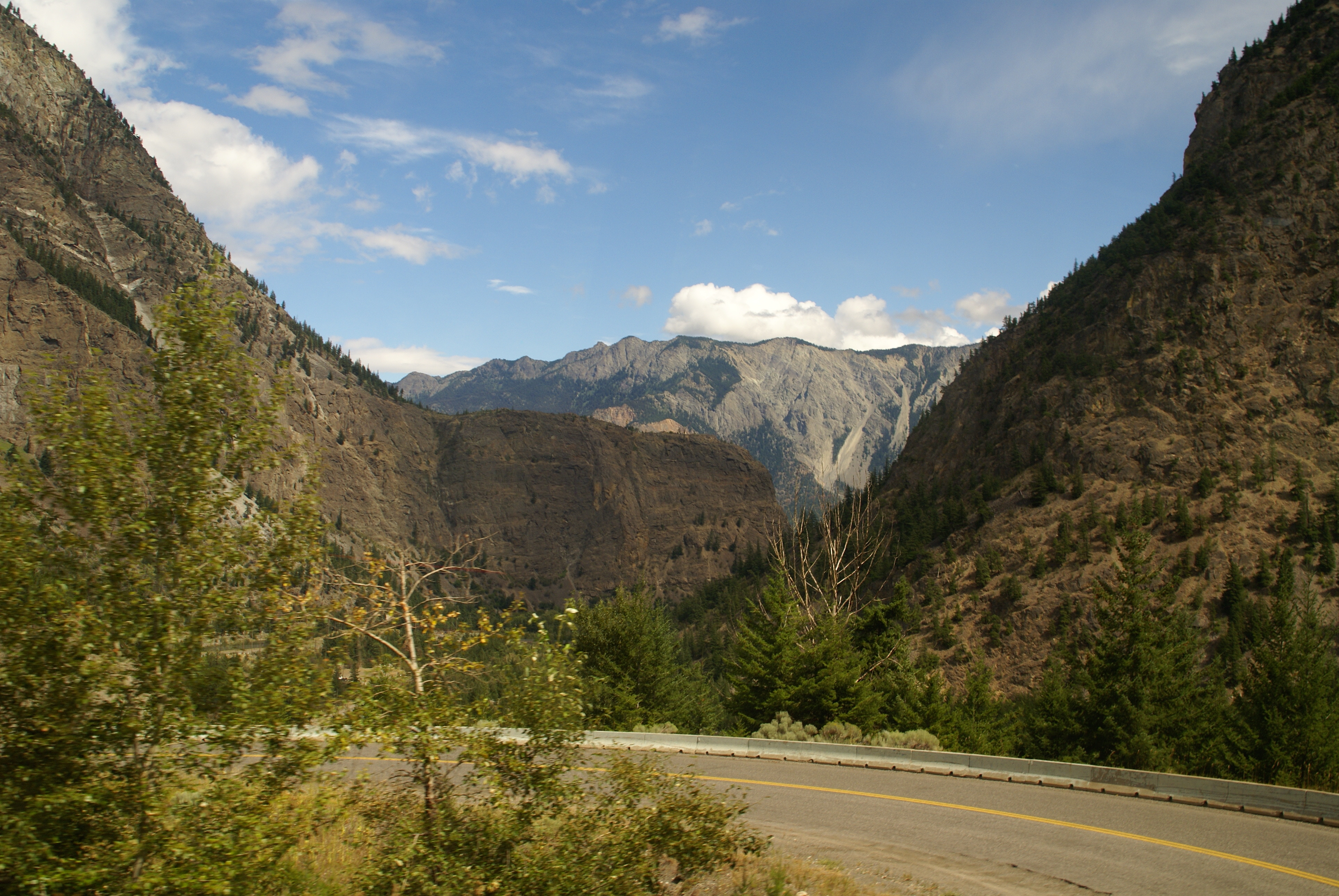
Fraser Canyon
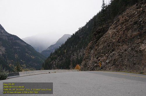
Hwy 99 VF2_9392.JPG
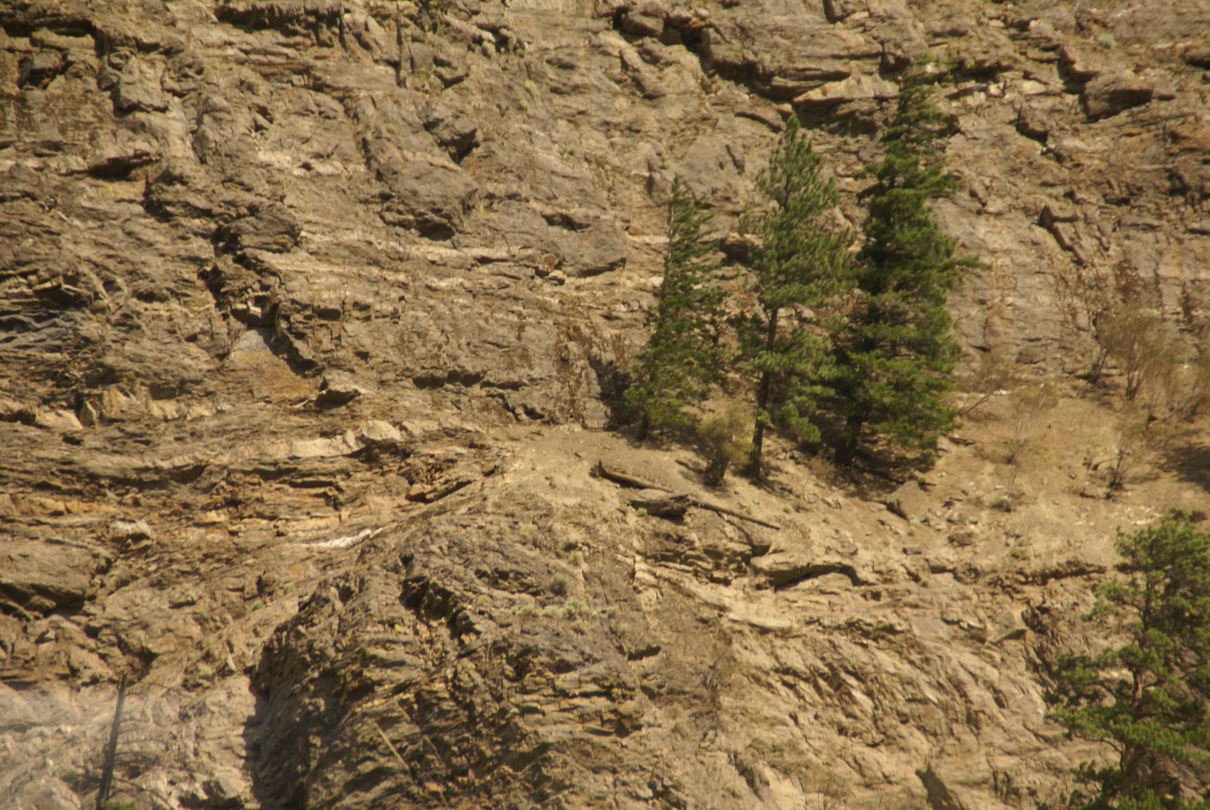
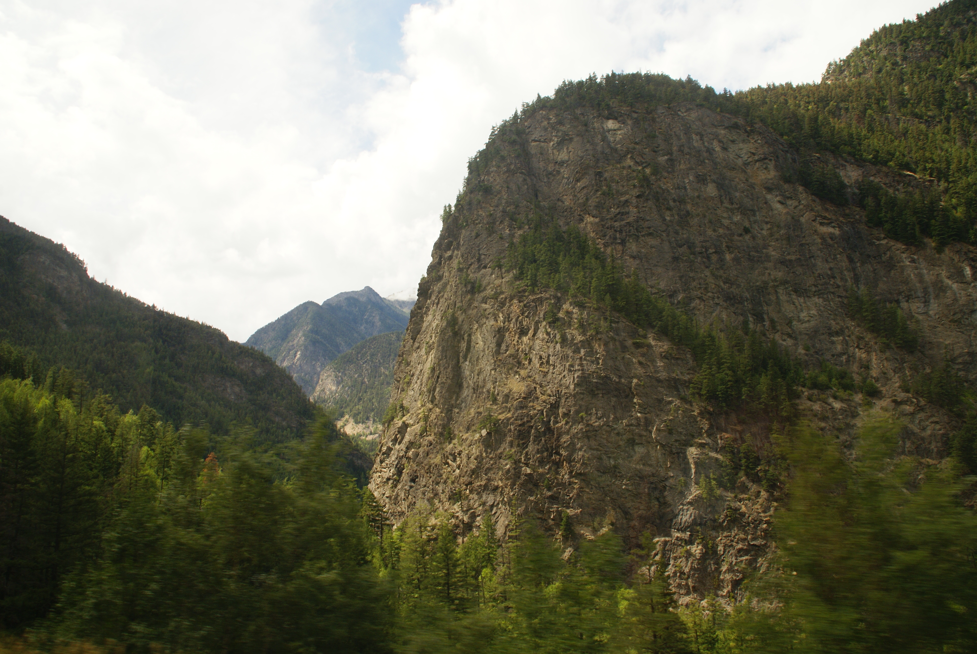
Trees on Cliff
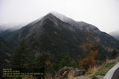
Fall View on Highway 99

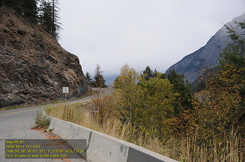
Curve view
Joseph Rd, Lillooet, BC V0K 1V0加拿大Bridge River Indian Band的地图
查询其他地方的日出日落时间
附近地点
Bridge River 1, Squamish-Lillooet B, BC V0K加拿大
W Pavilion Rd, British Columbia V0K加拿大West Pavilion Road
Taylor Rd, Mile House, BC V0K 2E3加拿大
Manson Rd, Mile House, BC V0K 2E3加拿大
Davis Road, Lillooet, BC V0K 1V0加拿大Fraser Cove Campground Ltd
91 Scotchman Rd, Mile House, BC V0K 2E3加拿大
加拿大不列颠哥伦比亚省利卢埃特V0K
Fountain Peak, Squamish-Lillooet B, BC V0K 1V0加拿大
加拿大不列颠哥伦比亚省利卢埃特
Seton Lake, British Columbia, 加拿大
加拿大不列颠哥伦比亚省帕维利恩V0K
加拿大不列颠哥伦比亚省沙拉尔斯V0N 3C0
Moha, BC V0K加拿大
Fountain Valley Rd, British Columbia V0K 1V0加拿大Fountain Valley Road
加拿大不列颠哥伦比亚省沙拉尔斯V0K 2E3
Squamish-Lillooet B, BC, 加拿大
Seton Portage, BC V0N加拿大
Anderson Lake Rd, D'Arcy, BC V0N 1L0加拿大Anderson Lake Road
加拿大不列颠哥伦比亚省克林顿V0K
Thompson-Nicola E, BC, 加拿大
最近搜索
- Red Dog Mine, AK, USA的日出日落时间表
- Am bhf, Borken, 德国Am Bahnhof的日出日落时间表
- 4th St E, Sonoma, CA 美国的日出日落时间表
- Oakland Ave, Williamsport, PA 美国的日出日落时间表
- Via Roma, Pieranica CR, Italy的日出日落时间表
- 克罗地亚杜布罗夫尼克 GradClock Tower of Dubrovnik的日出日落时间表
- 阿根廷丘布特省特雷利乌的日出日落时间表
- Hartfords Bluff Cir, Mt Pleasant, SC 美国的日出日落时间表
- 日本熊本县熊本市北区的日出日落时间表
- 中国福州市平潭县平潭岛的日出日落时间表