41 Christie Ln, Benton, CA 美国的日出日落时间表
Location: 美国 > 加利福尼亚州 > 莫诺县 > 美国加利福尼亚州本顿 >
时区:
America/Los_Angeles
当地时间:
2025-06-18 15:57:11
经度:
-118.47663
纬度:
37.81911
今天日出时间:
05:31:50 AM
今天日落时间:
08:19:03 PM
今天日照时常:
14h 47m 13s
明天日出时间:
05:32:03 AM
明天日落时间:
08:19:18 PM
明天日照时常:
14h 47m 15s
显示所有日期
| 日期 | 日出 | 日落 | 日照时常 |
|---|---|---|---|
| 2025年01月01日 | 07:09:32 AM | 04:46:43 PM | 9h 37m 11s |
| 2025年01月02日 | 07:09:37 AM | 04:47:33 PM | 9h 37m 56s |
| 2025年01月03日 | 07:09:40 AM | 04:48:25 PM | 9h 38m 45s |
| 2025年01月04日 | 07:09:41 AM | 04:49:17 PM | 9h 39m 36s |
| 2025年01月05日 | 07:09:39 AM | 04:50:11 PM | 9h 40m 32s |
| 2025年01月06日 | 07:09:36 AM | 04:51:06 PM | 9h 41m 30s |
| 2025年01月07日 | 07:09:31 AM | 04:52:02 PM | 9h 42m 31s |
| 2025年01月08日 | 07:09:23 AM | 04:52:59 PM | 9h 43m 36s |
| 2025年01月09日 | 07:09:13 AM | 04:53:57 PM | 9h 44m 44s |
| 2025年01月10日 | 07:09:02 AM | 04:54:56 PM | 9h 45m 54s |
| 2025年01月11日 | 07:08:48 AM | 04:55:55 PM | 9h 47m 7s |
| 2025年01月12日 | 07:08:32 AM | 04:56:56 PM | 9h 48m 24s |
| 2025年01月13日 | 07:08:15 AM | 04:57:57 PM | 9h 49m 42s |
| 2025年01月14日 | 07:07:55 AM | 04:58:59 PM | 9h 51m 4s |
| 2025年01月15日 | 07:07:33 AM | 05:00:02 PM | 9h 52m 29s |
| 2025年01月16日 | 07:07:09 AM | 05:01:05 PM | 9h 53m 56s |
| 2025年01月17日 | 07:06:43 AM | 05:02:09 PM | 9h 55m 26s |
| 2025年01月18日 | 07:06:15 AM | 05:03:13 PM | 9h 56m 58s |
| 2025年01月19日 | 07:05:46 AM | 05:04:18 PM | 9h 58m 32s |
| 2025年01月20日 | 07:05:14 AM | 05:05:23 PM | 10h 0m 9s |
| 2025年01月21日 | 07:04:40 AM | 05:06:29 PM | 10h 1m 49s |
| 2025年01月22日 | 07:04:05 AM | 05:07:34 PM | 10h 3m 29s |
| 2025年01月23日 | 07:03:27 AM | 05:08:41 PM | 10h 5m 14s |
| 2025年01月24日 | 07:02:48 AM | 05:09:47 PM | 10h 6m 59s |
| 2025年01月25日 | 07:02:07 AM | 05:10:54 PM | 10h 8m 47s |
| 2025年01月26日 | 07:01:25 AM | 05:12:00 PM | 10h 10m 35s |
| 2025年01月27日 | 07:00:40 AM | 05:13:07 PM | 10h 12m 27s |
| 2025年01月28日 | 06:59:54 AM | 05:14:14 PM | 10h 14m 20s |
| 2025年01月29日 | 06:59:06 AM | 05:15:21 PM | 10h 16m 15s |
| 2025年01月30日 | 06:58:16 AM | 05:16:29 PM | 10h 18m 13s |
| 2025年01月31日 | 06:57:25 AM | 05:17:36 PM | 10h 20m 11s |
| 2025年02月01日 | 06:56:32 AM | 05:18:43 PM | 10h 22m 11s |
| 2025年02月02日 | 06:55:38 AM | 05:19:50 PM | 10h 24m 12s |
| 2025年02月03日 | 06:54:42 AM | 05:20:57 PM | 10h 26m 15s |
| 2025年02月04日 | 06:53:44 AM | 05:22:04 PM | 10h 28m 20s |
| 2025年02月05日 | 06:52:45 AM | 05:23:10 PM | 10h 30m 25s |
| 2025年02月06日 | 06:51:45 AM | 05:24:17 PM | 10h 32m 32s |
| 2025年02月07日 | 06:50:43 AM | 05:25:23 PM | 10h 34m 40s |
| 2025年02月08日 | 06:49:40 AM | 05:26:30 PM | 10h 36m 50s |
| 2025年02月09日 | 06:48:36 AM | 05:27:36 PM | 10h 39m 0s |
| 2025年02月10日 | 06:47:30 AM | 05:28:41 PM | 10h 41m 11s |
| 2025年02月11日 | 06:46:23 AM | 05:29:47 PM | 10h 43m 24s |
| 2025年02月12日 | 06:45:14 AM | 05:30:52 PM | 10h 45m 38s |
| 2025年02月13日 | 06:44:05 AM | 05:31:57 PM | 10h 47m 52s |
| 2025年02月14日 | 06:42:54 AM | 05:33:02 PM | 10h 50m 8s |
| 2025年02月15日 | 06:41:42 AM | 05:34:07 PM | 10h 52m 25s |
| 2025年02月16日 | 06:40:29 AM | 05:35:11 PM | 10h 54m 42s |
| 2025年02月17日 | 06:39:15 AM | 05:36:15 PM | 10h 57m 0s |
| 2025年02月18日 | 06:38:00 AM | 05:37:18 PM | 10h 59m 18s |
| 2025年02月19日 | 06:36:44 AM | 05:38:22 PM | 11h 1m 38s |
| 2025年02月20日 | 06:35:27 AM | 05:39:24 PM | 11h 3m 57s |
| 2025年02月21日 | 06:34:09 AM | 05:40:27 PM | 11h 6m 18s |
| 2025年02月22日 | 06:32:50 AM | 05:41:29 PM | 11h 8m 39s |
| 2025年02月23日 | 06:31:30 AM | 05:42:31 PM | 11h 11m 1s |
| 2025年02月24日 | 06:30:09 AM | 05:43:33 PM | 11h 13m 24s |
| 2025年02月25日 | 06:28:47 AM | 05:44:35 PM | 11h 15m 48s |
| 2025年02月26日 | 06:27:25 AM | 05:45:36 PM | 11h 18m 11s |
| 2025年02月27日 | 06:26:02 AM | 05:46:36 PM | 11h 20m 34s |
| 2025年02月28日 | 06:24:38 AM | 05:47:37 PM | 11h 22m 59s |
| 2025年03月01日 | 06:23:14 AM | 05:48:37 PM | 11h 25m 23s |
| 2025年03月02日 | 06:21:49 AM | 05:49:37 PM | 11h 27m 48s |
| 2025年03月03日 | 06:20:23 AM | 05:50:36 PM | 11h 30m 13s |
| 2025年03月04日 | 06:18:57 AM | 05:51:35 PM | 11h 32m 38s |
| 2025年03月05日 | 06:17:30 AM | 05:52:34 PM | 11h 35m 4s |
| 2025年03月06日 | 06:16:03 AM | 05:53:33 PM | 11h 37m 30s |
| 2025年03月07日 | 06:14:35 AM | 05:54:31 PM | 11h 39m 56s |
| 2025年03月08日 | 06:13:07 AM | 05:55:30 PM | 11h 42m 23s |
| 2025年03月09日 | 07:11:41 AM | 06:56:25 PM | 11h 44m 44s |
| 2025年03月10日 | 07:10:12 AM | 06:57:23 PM | 11h 47m 11s |
| 2025年03月11日 | 07:08:43 AM | 06:58:20 PM | 11h 49m 37s |
| 2025年03月12日 | 07:07:13 AM | 06:59:17 PM | 11h 52m 4s |
| 2025年03月13日 | 07:05:43 AM | 07:00:14 PM | 11h 54m 31s |
| 2025年03月14日 | 07:04:12 AM | 07:01:11 PM | 11h 56m 59s |
| 2025年03月15日 | 07:02:42 AM | 07:02:08 PM | 11h 59m 26s |
| 2025年03月16日 | 07:01:11 AM | 07:03:04 PM | 12h 1m 53s |
| 2025年03月17日 | 06:59:40 AM | 07:04:00 PM | 12h 4m 20s |
| 2025年03月18日 | 06:58:09 AM | 07:04:56 PM | 12h 6m 47s |
| 2025年03月19日 | 06:56:37 AM | 07:05:52 PM | 12h 9m 15s |
| 2025年03月20日 | 06:55:06 AM | 07:06:48 PM | 12h 11m 42s |
| 2025年03月21日 | 06:53:34 AM | 07:07:44 PM | 12h 14m 10s |
| 2025年03月22日 | 06:52:03 AM | 07:08:39 PM | 12h 16m 36s |
| 2025年03月23日 | 06:50:31 AM | 07:09:35 PM | 12h 19m 4s |
| 2025年03月24日 | 06:49:00 AM | 07:10:30 PM | 12h 21m 30s |
| 2025年03月25日 | 06:47:28 AM | 07:11:25 PM | 12h 23m 57s |
| 2025年03月26日 | 06:45:57 AM | 07:12:20 PM | 12h 26m 23s |
| 2025年03月27日 | 06:44:26 AM | 07:13:15 PM | 12h 28m 49s |
| 2025年03月28日 | 06:42:55 AM | 07:14:10 PM | 12h 31m 15s |
| 2025年03月29日 | 06:41:24 AM | 07:15:05 PM | 12h 33m 41s |
| 2025年03月30日 | 06:39:53 AM | 07:16:00 PM | 12h 36m 7s |
| 2025年03月31日 | 06:38:23 AM | 07:16:55 PM | 12h 38m 32s |
| 2025年04月01日 | 06:36:52 AM | 07:17:50 PM | 12h 40m 58s |
| 2025年04月02日 | 06:35:23 AM | 07:18:45 PM | 12h 43m 22s |
| 2025年04月03日 | 06:33:53 AM | 07:19:40 PM | 12h 45m 47s |
| 2025年04月04日 | 06:32:24 AM | 07:20:35 PM | 12h 48m 11s |
| 2025年04月05日 | 06:30:55 AM | 07:21:29 PM | 12h 50m 34s |
| 2025年04月06日 | 06:29:26 AM | 07:22:24 PM | 12h 52m 58s |
| 2025年04月07日 | 06:27:58 AM | 07:23:19 PM | 12h 55m 21s |
| 2025年04月08日 | 06:26:31 AM | 07:24:14 PM | 12h 57m 43s |
| 2025年04月09日 | 06:25:04 AM | 07:25:09 PM | 13h 0m 5s |
| 2025年04月10日 | 06:23:37 AM | 07:26:04 PM | 13h 2m 27s |
| 2025年04月11日 | 06:22:11 AM | 07:26:59 PM | 13h 4m 48s |
| 2025年04月12日 | 06:20:46 AM | 07:27:54 PM | 13h 7m 8s |
| 2025年04月13日 | 06:19:21 AM | 07:28:49 PM | 13h 9m 28s |
| 2025年04月14日 | 06:17:57 AM | 07:29:44 PM | 13h 11m 47s |
| 2025年04月15日 | 06:16:34 AM | 07:30:39 PM | 13h 14m 5s |
| 2025年04月16日 | 06:15:11 AM | 07:31:35 PM | 13h 16m 24s |
| 2025年04月17日 | 06:13:49 AM | 07:32:30 PM | 13h 18m 41s |
| 2025年04月18日 | 06:12:28 AM | 07:33:25 PM | 13h 20m 57s |
| 2025年04月19日 | 06:11:08 AM | 07:34:20 PM | 13h 23m 12s |
| 2025年04月20日 | 06:09:48 AM | 07:35:16 PM | 13h 25m 28s |
| 2025年04月21日 | 06:08:30 AM | 07:36:11 PM | 13h 27m 41s |
| 2025年04月22日 | 06:07:12 AM | 07:37:07 PM | 13h 29m 55s |
| 2025年04月23日 | 06:05:55 AM | 07:38:02 PM | 13h 32m 7s |
| 2025年04月24日 | 06:04:39 AM | 07:38:57 PM | 13h 34m 18s |
| 2025年04月25日 | 06:03:24 AM | 07:39:53 PM | 13h 36m 29s |
| 2025年04月26日 | 06:02:11 AM | 07:40:48 PM | 13h 38m 37s |
| 2025年04月27日 | 06:00:58 AM | 07:41:43 PM | 13h 40m 45s |
| 2025年04月28日 | 05:59:46 AM | 07:42:39 PM | 13h 42m 53s |
| 2025年04月29日 | 05:58:35 AM | 07:43:34 PM | 13h 44m 59s |
| 2025年04月30日 | 05:57:26 AM | 07:44:29 PM | 13h 47m 3s |
| 2025年05月01日 | 05:56:18 AM | 07:45:24 PM | 13h 49m 6s |
| 2025年05月02日 | 05:55:10 AM | 07:46:19 PM | 13h 51m 9s |
| 2025年05月03日 | 05:54:04 AM | 07:47:14 PM | 13h 53m 10s |
| 2025年05月04日 | 05:53:00 AM | 07:48:09 PM | 13h 55m 9s |
| 2025年05月05日 | 05:51:56 AM | 07:49:04 PM | 13h 57m 8s |
| 2025年05月06日 | 05:50:54 AM | 07:49:58 PM | 13h 59m 4s |
| 2025年05月07日 | 05:49:53 AM | 07:50:52 PM | 14h 0m 59s |
| 2025年05月08日 | 05:48:54 AM | 07:51:47 PM | 14h 2m 53s |
| 2025年05月09日 | 05:47:56 AM | 07:52:40 PM | 14h 4m 44s |
| 2025年05月10日 | 05:46:59 AM | 07:53:34 PM | 14h 6m 35s |
| 2025年05月11日 | 05:46:04 AM | 07:54:27 PM | 14h 8m 23s |
| 2025年05月12日 | 05:45:10 AM | 07:55:20 PM | 14h 10m 10s |
| 2025年05月13日 | 05:44:18 AM | 07:56:13 PM | 14h 11m 55s |
| 2025年05月14日 | 05:43:28 AM | 07:57:05 PM | 14h 13m 37s |
| 2025年05月15日 | 05:42:38 AM | 07:57:57 PM | 14h 15m 19s |
| 2025年05月16日 | 05:41:51 AM | 07:58:48 PM | 14h 16m 57s |
| 2025年05月17日 | 05:41:05 AM | 07:59:39 PM | 14h 18m 34s |
| 2025年05月18日 | 05:40:20 AM | 08:00:29 PM | 14h 20m 9s |
| 2025年05月19日 | 05:39:37 AM | 08:01:19 PM | 14h 21m 42s |
| 2025年05月20日 | 05:38:56 AM | 08:02:08 PM | 14h 23m 12s |
| 2025年05月21日 | 05:38:17 AM | 08:02:57 PM | 14h 24m 40s |
| 2025年05月22日 | 05:37:39 AM | 08:03:45 PM | 14h 26m 6s |
| 2025年05月23日 | 05:37:03 AM | 08:04:32 PM | 14h 27m 29s |
| 2025年05月24日 | 05:36:28 AM | 08:05:19 PM | 14h 28m 51s |
| 2025年05月25日 | 05:35:56 AM | 08:06:05 PM | 14h 30m 9s |
| 2025年05月26日 | 05:35:25 AM | 08:06:50 PM | 14h 31m 25s |
| 2025年05月27日 | 05:34:56 AM | 08:07:34 PM | 14h 32m 38s |
| 2025年05月28日 | 05:34:28 AM | 08:08:17 PM | 14h 33m 49s |
| 2025年05月29日 | 05:34:03 AM | 08:09:00 PM | 14h 34m 57s |
| 2025年05月30日 | 05:33:39 AM | 08:09:41 PM | 14h 36m 2s |
| 2025年05月31日 | 05:33:17 AM | 08:10:22 PM | 14h 37m 5s |
| 2025年06月01日 | 05:32:57 AM | 08:11:01 PM | 14h 38m 4s |
| 2025年06月02日 | 05:32:38 AM | 08:11:39 PM | 14h 39m 1s |
| 2025年06月03日 | 05:32:21 AM | 08:12:17 PM | 14h 39m 56s |
| 2025年06月04日 | 05:32:07 AM | 08:12:53 PM | 14h 40m 46s |
| 2025年06月05日 | 05:31:54 AM | 08:13:28 PM | 14h 41m 34s |
| 2025年06月06日 | 05:31:42 AM | 08:14:01 PM | 14h 42m 19s |
| 2025年06月07日 | 05:31:33 AM | 08:14:34 PM | 14h 43m 1s |
| 2025年06月08日 | 05:31:25 AM | 08:15:05 PM | 14h 43m 40s |
| 2025年06月09日 | 05:31:20 AM | 08:15:35 PM | 14h 44m 15s |
| 2025年06月10日 | 05:31:16 AM | 08:16:03 PM | 14h 44m 47s |
| 2025年06月11日 | 05:31:13 AM | 08:16:30 PM | 14h 45m 17s |
| 2025年06月12日 | 05:31:13 AM | 08:16:56 PM | 14h 45m 43s |
| 2025年06月13日 | 05:31:14 AM | 08:17:20 PM | 14h 46m 6s |
| 2025年06月14日 | 05:31:17 AM | 08:17:43 PM | 14h 46m 26s |
| 2025年06月15日 | 05:31:22 AM | 08:18:04 PM | 14h 46m 42s |
| 2025年06月16日 | 05:31:28 AM | 08:18:23 PM | 14h 46m 55s |
| 2025年06月17日 | 05:31:37 AM | 08:18:41 PM | 14h 47m 4s |
| 2025年06月18日 | 05:31:46 AM | 08:18:58 PM | 14h 47m 12s |
| 2025年06月19日 | 05:31:58 AM | 08:19:12 PM | 14h 47m 14s |
| 2025年06月20日 | 05:32:11 AM | 08:19:25 PM | 14h 47m 14s |
| 2025年06月21日 | 05:32:26 AM | 08:19:37 PM | 14h 47m 11s |
| 2025年06月22日 | 05:32:42 AM | 08:19:46 PM | 14h 47m 4s |
| 2025年06月23日 | 05:33:00 AM | 08:19:54 PM | 14h 46m 54s |
| 2025年06月24日 | 05:33:19 AM | 08:20:00 PM | 14h 46m 41s |
| 2025年06月25日 | 05:33:40 AM | 08:20:05 PM | 14h 46m 25s |
| 2025年06月26日 | 05:34:02 AM | 08:20:07 PM | 14h 46m 5s |
| 2025年06月27日 | 05:34:26 AM | 08:20:08 PM | 14h 45m 42s |
| 2025年06月28日 | 05:34:51 AM | 08:20:07 PM | 14h 45m 16s |
| 2025年06月29日 | 05:35:18 AM | 08:20:04 PM | 14h 44m 46s |
| 2025年06月30日 | 05:35:45 AM | 08:20:00 PM | 14h 44m 15s |
| 2025年07月01日 | 05:36:14 AM | 08:19:53 PM | 14h 43m 39s |
| 2025年07月02日 | 05:36:45 AM | 08:19:45 PM | 14h 43m 0s |
| 2025年07月03日 | 05:37:16 AM | 08:19:35 PM | 14h 42m 19s |
| 2025年07月04日 | 05:37:49 AM | 08:19:23 PM | 14h 41m 34s |
| 2025年07月05日 | 05:38:23 AM | 08:19:09 PM | 14h 40m 46s |
| 2025年07月06日 | 05:38:58 AM | 08:18:53 PM | 14h 39m 55s |
| 2025年07月07日 | 05:39:34 AM | 08:18:35 PM | 14h 39m 1s |
| 2025年07月08日 | 05:40:11 AM | 08:18:16 PM | 14h 38m 5s |
| 2025年07月09日 | 05:40:49 AM | 08:17:55 PM | 14h 37m 6s |
| 2025年07月10日 | 05:41:28 AM | 08:17:31 PM | 14h 36m 3s |
| 2025年07月11日 | 05:42:08 AM | 08:17:06 PM | 14h 34m 58s |
| 2025年07月12日 | 05:42:49 AM | 08:16:40 PM | 14h 33m 51s |
| 2025年07月13日 | 05:43:31 AM | 08:16:11 PM | 14h 32m 40s |
| 2025年07月14日 | 05:44:13 AM | 08:15:41 PM | 14h 31m 28s |
| 2025年07月15日 | 05:44:57 AM | 08:15:09 PM | 14h 30m 12s |
| 2025年07月16日 | 05:45:41 AM | 08:14:35 PM | 14h 28m 54s |
| 2025年07月17日 | 05:46:25 AM | 08:13:59 PM | 14h 27m 34s |
| 2025年07月18日 | 05:47:11 AM | 08:13:22 PM | 14h 26m 11s |
| 2025年07月19日 | 05:47:56 AM | 08:12:42 PM | 14h 24m 46s |
| 2025年07月20日 | 05:48:43 AM | 08:12:02 PM | 14h 23m 19s |
| 2025年07月21日 | 05:49:30 AM | 08:11:19 PM | 14h 21m 49s |
| 2025年07月22日 | 05:50:17 AM | 08:10:35 PM | 14h 20m 18s |
| 2025年07月23日 | 05:51:05 AM | 08:09:49 PM | 14h 18m 44s |
| 2025年07月24日 | 05:51:54 AM | 08:09:01 PM | 14h 17m 7s |
| 2025年07月25日 | 05:52:43 AM | 08:08:12 PM | 14h 15m 29s |
| 2025年07月26日 | 05:53:32 AM | 08:07:22 PM | 14h 13m 50s |
| 2025年07月27日 | 05:54:21 AM | 08:06:30 PM | 14h 12m 9s |
| 2025年07月28日 | 05:55:11 AM | 08:05:36 PM | 14h 10m 25s |
| 2025年07月29日 | 05:56:01 AM | 08:04:41 PM | 14h 8m 40s |
| 2025年07月30日 | 05:56:52 AM | 08:03:44 PM | 14h 6m 52s |
| 2025年07月31日 | 05:57:42 AM | 08:02:46 PM | 14h 5m 4s |
| 2025年08月01日 | 05:58:33 AM | 08:01:46 PM | 14h 3m 13s |
| 2025年08月02日 | 05:59:24 AM | 08:00:45 PM | 14h 1m 21s |
| 2025年08月03日 | 06:00:16 AM | 07:59:43 PM | 13h 59m 27s |
| 2025年08月04日 | 06:01:07 AM | 07:58:39 PM | 13h 57m 32s |
| 2025年08月05日 | 06:01:58 AM | 07:57:34 PM | 13h 55m 36s |
| 2025年08月06日 | 06:02:50 AM | 07:56:28 PM | 13h 53m 38s |
| 2025年08月07日 | 06:03:42 AM | 07:55:20 PM | 13h 51m 38s |
| 2025年08月08日 | 06:04:33 AM | 07:54:12 PM | 13h 49m 39s |
| 2025年08月09日 | 06:05:25 AM | 07:53:02 PM | 13h 47m 37s |
| 2025年08月10日 | 06:06:17 AM | 07:51:51 PM | 13h 45m 34s |
| 2025年08月11日 | 06:07:09 AM | 07:50:38 PM | 13h 43m 29s |
| 2025年08月12日 | 06:08:00 AM | 07:49:25 PM | 13h 41m 25s |
| 2025年08月13日 | 06:08:52 AM | 07:48:10 PM | 13h 39m 18s |
| 2025年08月14日 | 06:09:44 AM | 07:46:55 PM | 13h 37m 11s |
| 2025年08月15日 | 06:10:36 AM | 07:45:38 PM | 13h 35m 2s |
| 2025年08月16日 | 06:11:28 AM | 07:44:21 PM | 13h 32m 53s |
| 2025年08月17日 | 06:12:19 AM | 07:43:02 PM | 13h 30m 43s |
| 2025年08月18日 | 06:13:11 AM | 07:41:43 PM | 13h 28m 32s |
| 2025年08月19日 | 06:14:02 AM | 07:40:22 PM | 13h 26m 20s |
| 2025年08月20日 | 06:14:54 AM | 07:39:01 PM | 13h 24m 7s |
| 2025年08月21日 | 06:15:45 AM | 07:37:39 PM | 13h 21m 54s |
| 2025年08月22日 | 06:16:37 AM | 07:36:16 PM | 13h 19m 39s |
| 2025年08月23日 | 06:17:28 AM | 07:34:53 PM | 13h 17m 25s |
| 2025年08月24日 | 06:18:19 AM | 07:33:28 PM | 13h 15m 9s |
| 2025年08月25日 | 06:19:10 AM | 07:32:03 PM | 13h 12m 53s |
| 2025年08月26日 | 06:20:02 AM | 07:30:37 PM | 13h 10m 35s |
| 2025年08月27日 | 06:20:53 AM | 07:29:11 PM | 13h 8m 18s |
| 2025年08月28日 | 06:21:43 AM | 07:27:43 PM | 13h 6m 0s |
| 2025年08月29日 | 06:22:34 AM | 07:26:16 PM | 13h 3m 42s |
| 2025年08月30日 | 06:23:25 AM | 07:24:47 PM | 13h 1m 22s |
| 2025年08月31日 | 06:24:16 AM | 07:23:18 PM | 12h 59m 2s |
| 2025年09月01日 | 06:25:07 AM | 07:21:49 PM | 12h 56m 42s |
| 2025年09月02日 | 06:25:57 AM | 07:20:19 PM | 12h 54m 22s |
| 2025年09月03日 | 06:26:48 AM | 07:18:49 PM | 12h 52m 1s |
| 2025年09月04日 | 06:27:38 AM | 07:17:18 PM | 12h 49m 40s |
| 2025年09月05日 | 06:28:29 AM | 07:15:47 PM | 12h 47m 18s |
| 2025年09月06日 | 06:29:20 AM | 07:14:15 PM | 12h 44m 55s |
| 2025年09月07日 | 06:30:10 AM | 07:12:43 PM | 12h 42m 33s |
| 2025年09月08日 | 06:31:01 AM | 07:11:11 PM | 12h 40m 10s |
| 2025年09月09日 | 06:31:51 AM | 07:09:39 PM | 12h 37m 48s |
| 2025年09月10日 | 06:32:42 AM | 07:08:06 PM | 12h 35m 24s |
| 2025年09月11日 | 06:33:32 AM | 07:06:33 PM | 12h 33m 1s |
| 2025年09月12日 | 06:34:23 AM | 07:05:00 PM | 12h 30m 37s |
| 2025年09月13日 | 06:35:13 AM | 07:03:26 PM | 12h 28m 13s |
| 2025年09月14日 | 06:36:04 AM | 07:01:53 PM | 12h 25m 49s |
| 2025年09月15日 | 06:36:55 AM | 07:00:19 PM | 12h 23m 24s |
| 2025年09月16日 | 06:37:45 AM | 06:58:46 PM | 12h 21m 1s |
| 2025年09月17日 | 06:38:36 AM | 06:57:12 PM | 12h 18m 36s |
| 2025年09月18日 | 06:39:27 AM | 06:55:38 PM | 12h 16m 11s |
| 2025年09月19日 | 06:40:18 AM | 06:54:04 PM | 12h 13m 46s |
| 2025年09月20日 | 06:41:09 AM | 06:52:31 PM | 12h 11m 22s |
| 2025年09月21日 | 06:42:01 AM | 06:50:57 PM | 12h 8m 56s |
| 2025年09月22日 | 06:42:52 AM | 06:49:23 PM | 12h 6m 31s |
| 2025年09月23日 | 06:43:44 AM | 06:47:50 PM | 12h 4m 6s |
| 2025年09月24日 | 06:44:35 AM | 06:46:17 PM | 12h 1m 42s |
| 2025年09月25日 | 06:45:27 AM | 06:44:44 PM | 11h 59m 17s |
| 2025年09月26日 | 06:46:19 AM | 06:43:11 PM | 11h 56m 52s |
| 2025年09月27日 | 06:47:12 AM | 06:41:38 PM | 11h 54m 26s |
| 2025年09月28日 | 06:48:04 AM | 06:40:06 PM | 11h 52m 2s |
| 2025年09月29日 | 06:48:57 AM | 06:38:34 PM | 11h 49m 37s |
| 2025年09月30日 | 06:49:50 AM | 06:37:02 PM | 11h 47m 12s |
| 2025年10月01日 | 06:50:43 AM | 06:35:31 PM | 11h 44m 48s |
| 2025年10月02日 | 06:51:37 AM | 06:34:00 PM | 11h 42m 23s |
| 2025年10月03日 | 06:52:30 AM | 06:32:29 PM | 11h 39m 59s |
| 2025年10月04日 | 06:53:24 AM | 06:30:59 PM | 11h 37m 35s |
| 2025年10月05日 | 06:54:19 AM | 06:29:29 PM | 11h 35m 10s |
| 2025年10月06日 | 06:55:13 AM | 06:28:00 PM | 11h 32m 47s |
| 2025年10月07日 | 06:56:08 AM | 06:26:32 PM | 11h 30m 24s |
| 2025年10月08日 | 06:57:03 AM | 06:25:04 PM | 11h 28m 1s |
| 2025年10月09日 | 06:57:59 AM | 06:23:37 PM | 11h 25m 38s |
| 2025年10月10日 | 06:58:54 AM | 06:22:10 PM | 11h 23m 16s |
| 2025年10月11日 | 06:59:50 AM | 06:20:44 PM | 11h 20m 54s |
| 2025年10月12日 | 07:00:47 AM | 06:19:18 PM | 11h 18m 31s |
| 2025年10月13日 | 07:01:44 AM | 06:17:54 PM | 11h 16m 10s |
| 2025年10月14日 | 07:02:41 AM | 06:16:30 PM | 11h 13m 49s |
| 2025年10月15日 | 07:03:38 AM | 06:15:07 PM | 11h 11m 29s |
| 2025年10月16日 | 07:04:36 AM | 06:13:45 PM | 11h 9m 9s |
| 2025年10月17日 | 07:05:34 AM | 06:12:23 PM | 11h 6m 49s |
| 2025年10月18日 | 07:06:33 AM | 06:11:03 PM | 11h 4m 30s |
| 2025年10月19日 | 07:07:31 AM | 06:09:43 PM | 11h 2m 12s |
| 2025年10月20日 | 07:08:31 AM | 06:08:25 PM | 10h 59m 54s |
| 2025年10月21日 | 07:09:30 AM | 06:07:07 PM | 10h 57m 37s |
| 2025年10月22日 | 07:10:30 AM | 06:05:51 PM | 10h 55m 21s |
| 2025年10月23日 | 07:11:30 AM | 06:04:35 PM | 10h 53m 5s |
| 2025年10月24日 | 07:12:31 AM | 06:03:21 PM | 10h 50m 50s |
| 2025年10月25日 | 07:13:31 AM | 06:02:08 PM | 10h 48m 37s |
| 2025年10月26日 | 07:14:32 AM | 06:00:56 PM | 10h 46m 24s |
| 2025年10月27日 | 07:15:34 AM | 05:59:45 PM | 10h 44m 11s |
| 2025年10月28日 | 07:16:36 AM | 05:58:35 PM | 10h 41m 59s |
| 2025年10月29日 | 07:17:38 AM | 05:57:27 PM | 10h 39m 49s |
| 2025年10月30日 | 07:18:40 AM | 05:56:20 PM | 10h 37m 40s |
| 2025年10月31日 | 07:19:43 AM | 05:55:14 PM | 10h 35m 31s |
| 2025年11月01日 | 07:20:45 AM | 05:54:10 PM | 10h 33m 25s |
| 2025年11月02日 | 06:21:51 AM | 04:53:04 PM | 10h 31m 13s |
| 2025年11月03日 | 06:22:54 AM | 04:52:02 PM | 10h 29m 8s |
| 2025年11月04日 | 06:23:58 AM | 04:51:02 PM | 10h 27m 4s |
| 2025年11月05日 | 06:25:01 AM | 04:50:04 PM | 10h 25m 3s |
| 2025年11月06日 | 06:26:05 AM | 04:49:07 PM | 10h 23m 2s |
| 2025年11月07日 | 06:27:09 AM | 04:48:11 PM | 10h 21m 2s |
| 2025年11月08日 | 06:28:13 AM | 04:47:18 PM | 10h 19m 5s |
| 2025年11月09日 | 06:29:17 AM | 04:46:25 PM | 10h 17m 8s |
| 2025年11月10日 | 06:30:21 AM | 04:45:35 PM | 10h 15m 14s |
| 2025年11月11日 | 06:31:25 AM | 04:44:46 PM | 10h 13m 21s |
| 2025年11月12日 | 06:32:29 AM | 04:43:59 PM | 10h 11m 30s |
| 2025年11月13日 | 06:33:33 AM | 04:43:13 PM | 10h 9m 40s |
| 2025年11月14日 | 06:34:37 AM | 04:42:30 PM | 10h 7m 53s |
| 2025年11月15日 | 06:35:41 AM | 04:41:48 PM | 10h 6m 7s |
| 2025年11月16日 | 06:36:45 AM | 04:41:08 PM | 10h 4m 23s |
| 2025年11月17日 | 06:37:48 AM | 04:40:30 PM | 10h 2m 42s |
| 2025年11月18日 | 06:38:51 AM | 04:39:53 PM | 10h 1m 2s |
| 2025年11月19日 | 06:39:54 AM | 04:39:19 PM | 9h 59m 25s |
| 2025年11月20日 | 06:40:57 AM | 04:38:47 PM | 9h 57m 50s |
| 2025年11月21日 | 06:41:59 AM | 04:38:16 PM | 9h 56m 17s |
| 2025年11月22日 | 06:43:01 AM | 04:37:48 PM | 9h 54m 47s |
| 2025年11月23日 | 06:44:02 AM | 04:37:21 PM | 9h 53m 19s |
| 2025年11月24日 | 06:45:03 AM | 04:36:57 PM | 9h 51m 54s |
| 2025年11月25日 | 06:46:04 AM | 04:36:34 PM | 9h 50m 30s |
| 2025年11月26日 | 06:47:03 AM | 04:36:14 PM | 9h 49m 11s |
| 2025年11月27日 | 06:48:03 AM | 04:35:55 PM | 9h 47m 52s |
| 2025年11月28日 | 06:49:01 AM | 04:35:39 PM | 9h 46m 38s |
| 2025年11月29日 | 06:49:59 AM | 04:35:25 PM | 9h 45m 26s |
| 2025年11月30日 | 06:50:56 AM | 04:35:13 PM | 9h 44m 17s |
| 2025年12月01日 | 06:51:52 AM | 04:35:03 PM | 9h 43m 11s |
| 2025年12月02日 | 06:52:47 AM | 04:34:55 PM | 9h 42m 8s |
| 2025年12月03日 | 06:53:41 AM | 04:34:49 PM | 9h 41m 8s |
| 2025年12月04日 | 06:54:34 AM | 04:34:46 PM | 9h 40m 12s |
| 2025年12月05日 | 06:55:27 AM | 04:34:44 PM | 9h 39m 17s |
| 2025年12月06日 | 06:56:18 AM | 04:34:45 PM | 9h 38m 27s |
| 2025年12月07日 | 06:57:08 AM | 04:34:48 PM | 9h 37m 40s |
| 2025年12月08日 | 06:57:56 AM | 04:34:52 PM | 9h 36m 56s |
| 2025年12月09日 | 06:58:44 AM | 04:34:59 PM | 9h 36m 15s |
| 2025年12月10日 | 06:59:30 AM | 04:35:08 PM | 9h 35m 38s |
| 2025年12月11日 | 07:00:15 AM | 04:35:20 PM | 9h 35m 5s |
| 2025年12月12日 | 07:00:58 AM | 04:35:33 PM | 9h 34m 35s |
| 2025年12月13日 | 07:01:40 AM | 04:35:48 PM | 9h 34m 8s |
| 2025年12月14日 | 07:02:21 AM | 04:36:05 PM | 9h 33m 44s |
| 2025年12月15日 | 07:03:00 AM | 04:36:25 PM | 9h 33m 25s |
| 2025年12月16日 | 07:03:37 AM | 04:36:46 PM | 9h 33m 9s |
| 2025年12月17日 | 07:04:13 AM | 04:37:09 PM | 9h 32m 56s |
| 2025年12月18日 | 07:04:47 AM | 04:37:34 PM | 9h 32m 47s |
| 2025年12月19日 | 07:05:19 AM | 04:38:01 PM | 9h 32m 42s |
| 2025年12月20日 | 07:05:50 AM | 04:38:30 PM | 9h 32m 40s |
| 2025年12月21日 | 07:06:19 AM | 04:39:01 PM | 9h 32m 42s |
| 2025年12月22日 | 07:06:46 AM | 04:39:34 PM | 9h 32m 48s |
| 2025年12月23日 | 07:07:11 AM | 04:40:08 PM | 9h 32m 57s |
| 2025年12月24日 | 07:07:34 AM | 04:40:44 PM | 9h 33m 10s |
| 2025年12月25日 | 07:07:56 AM | 04:41:22 PM | 9h 33m 26s |
| 2025年12月26日 | 07:08:15 AM | 04:42:02 PM | 9h 33m 47s |
| 2025年12月27日 | 07:08:33 AM | 04:42:43 PM | 9h 34m 10s |
| 2025年12月28日 | 07:08:48 AM | 04:43:26 PM | 9h 34m 38s |
| 2025年12月29日 | 07:09:02 AM | 04:44:10 PM | 9h 35m 8s |
| 2025年12月30日 | 07:09:13 AM | 04:44:55 PM | 9h 35m 42s |
| 2025年12月31日 | 07:09:23 AM | 04:45:43 PM | 9h 36m 20s |
日出日落照片

Bristlecone 49

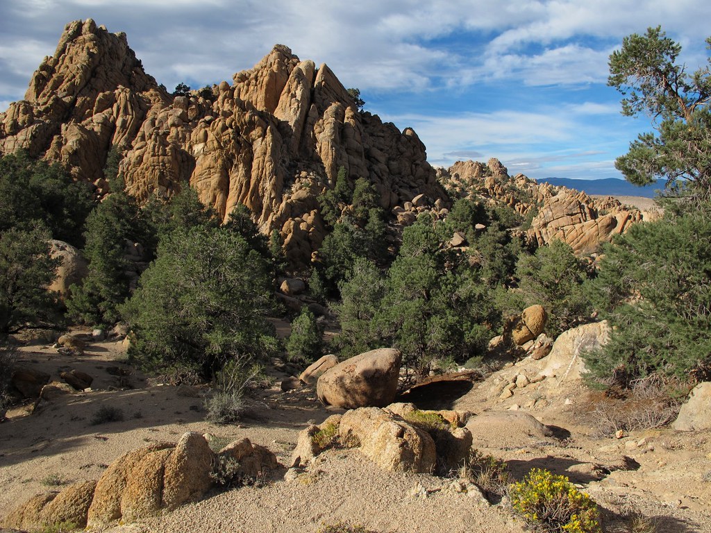
Montgomery Peak from Boundary Peak
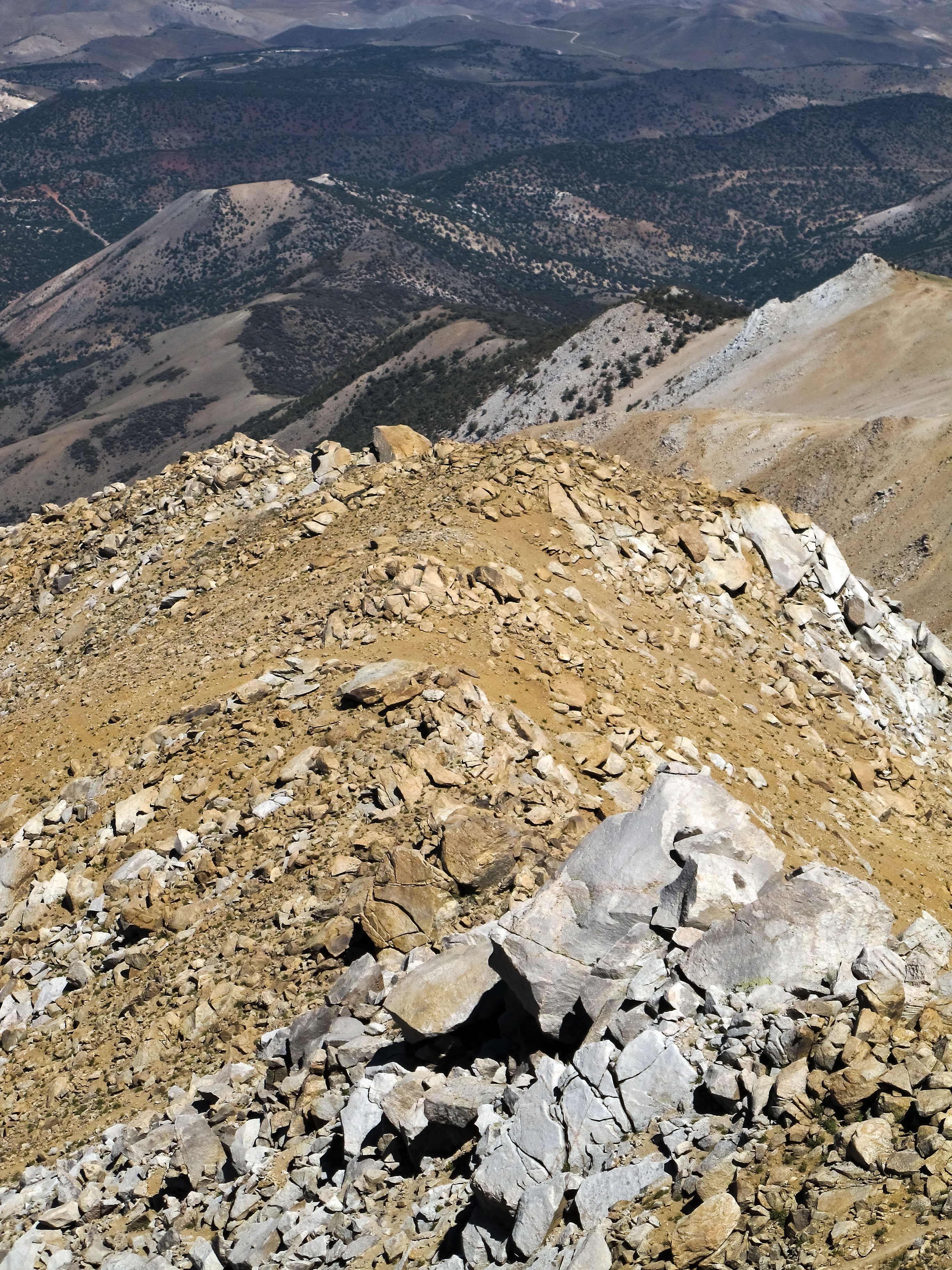
Pile-O-Rocks

Boundary and Montgomery Peak

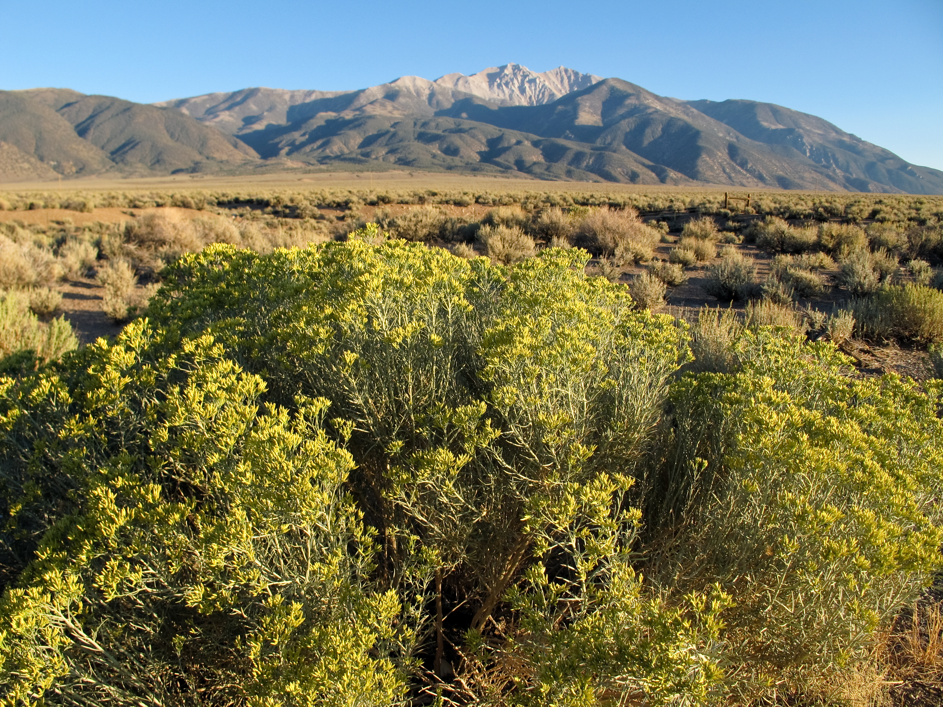
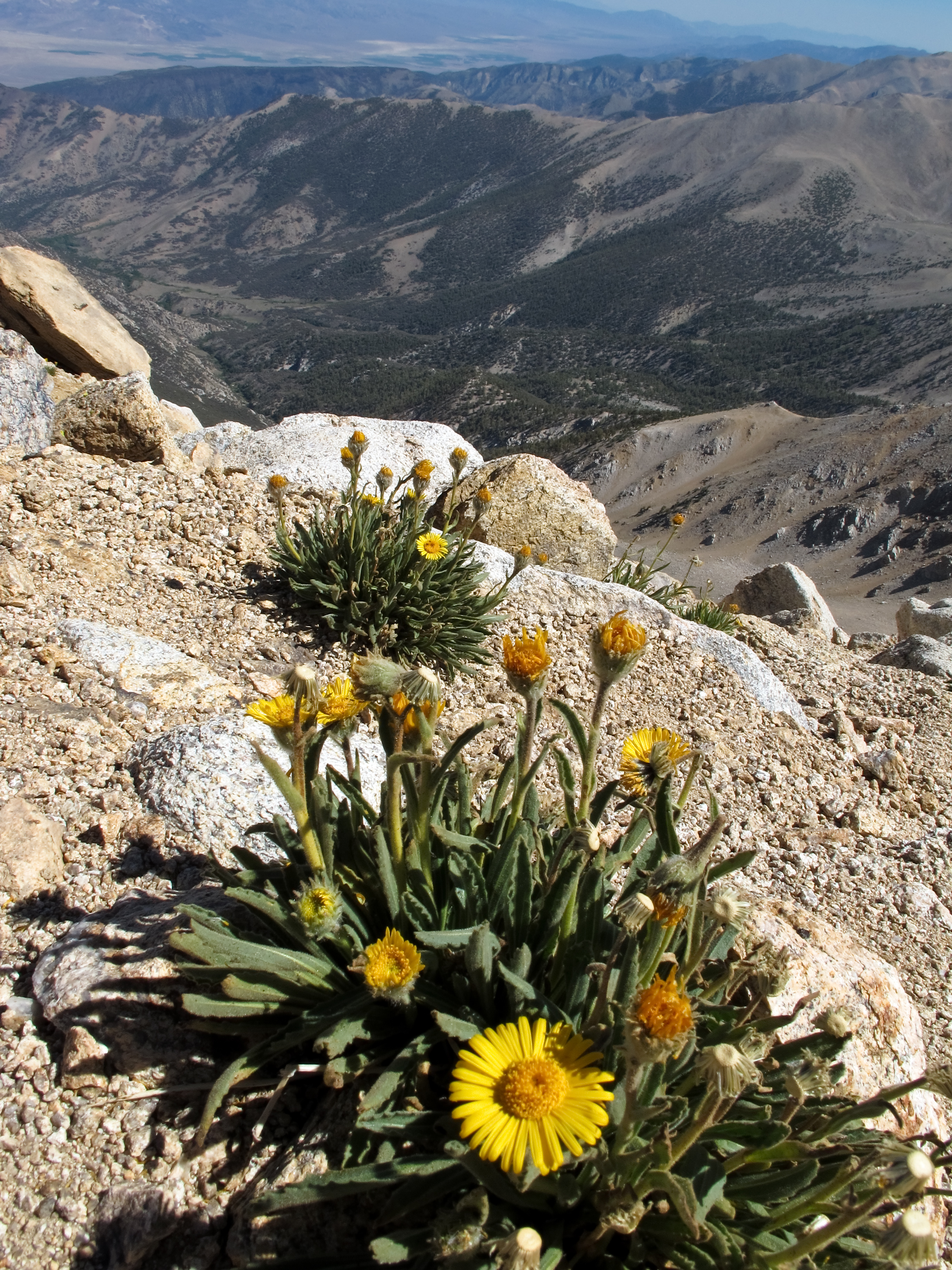
Montgomery Peak and alpine flowers
View west to California
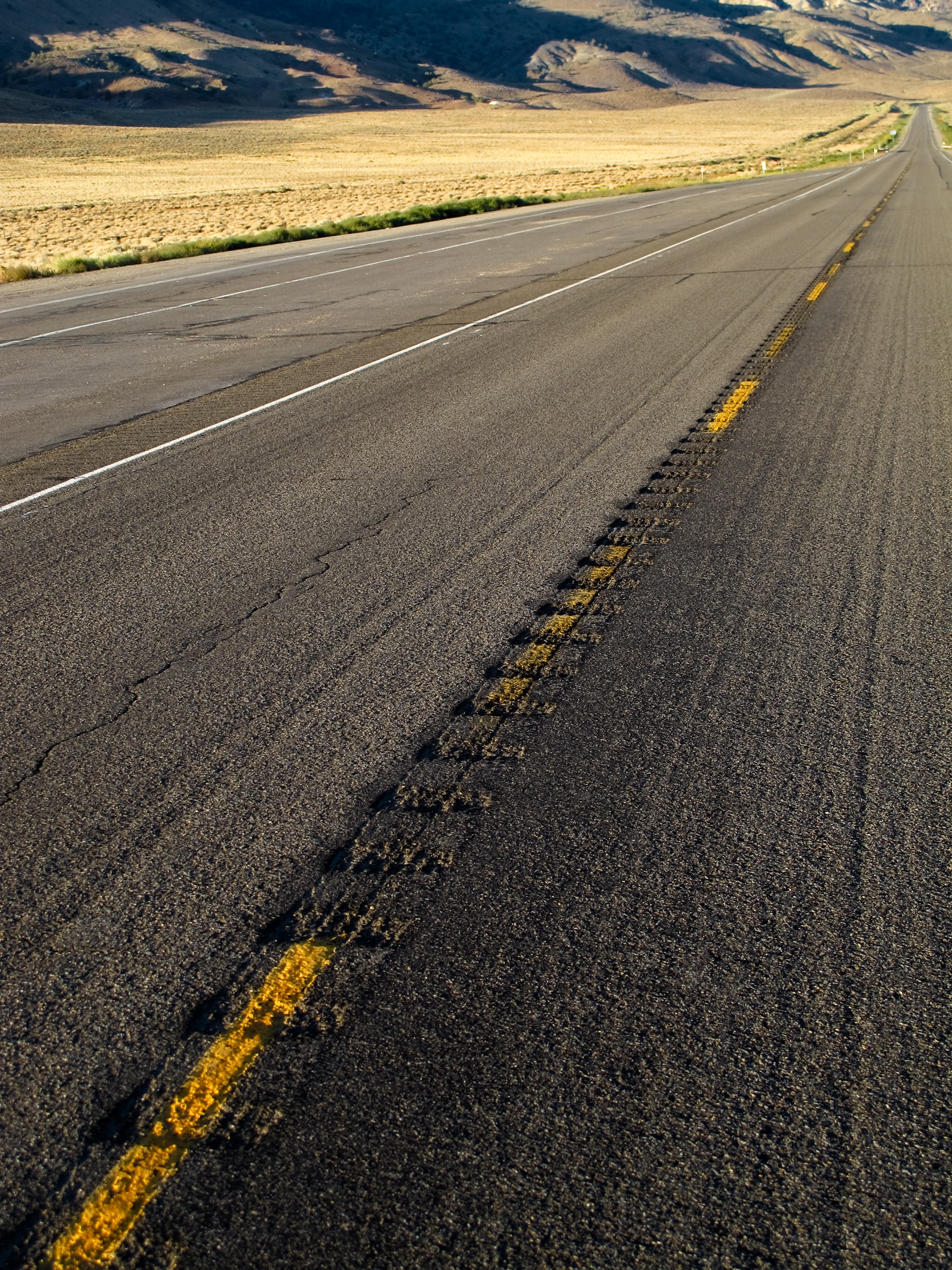
Lonesome Highway
Highway 6, Nevada

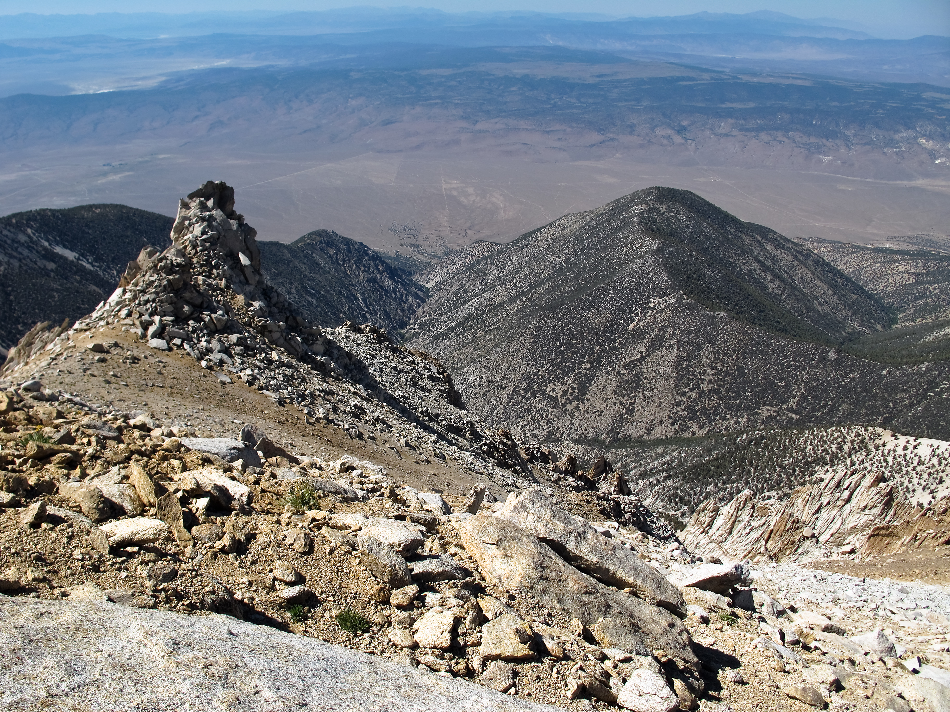
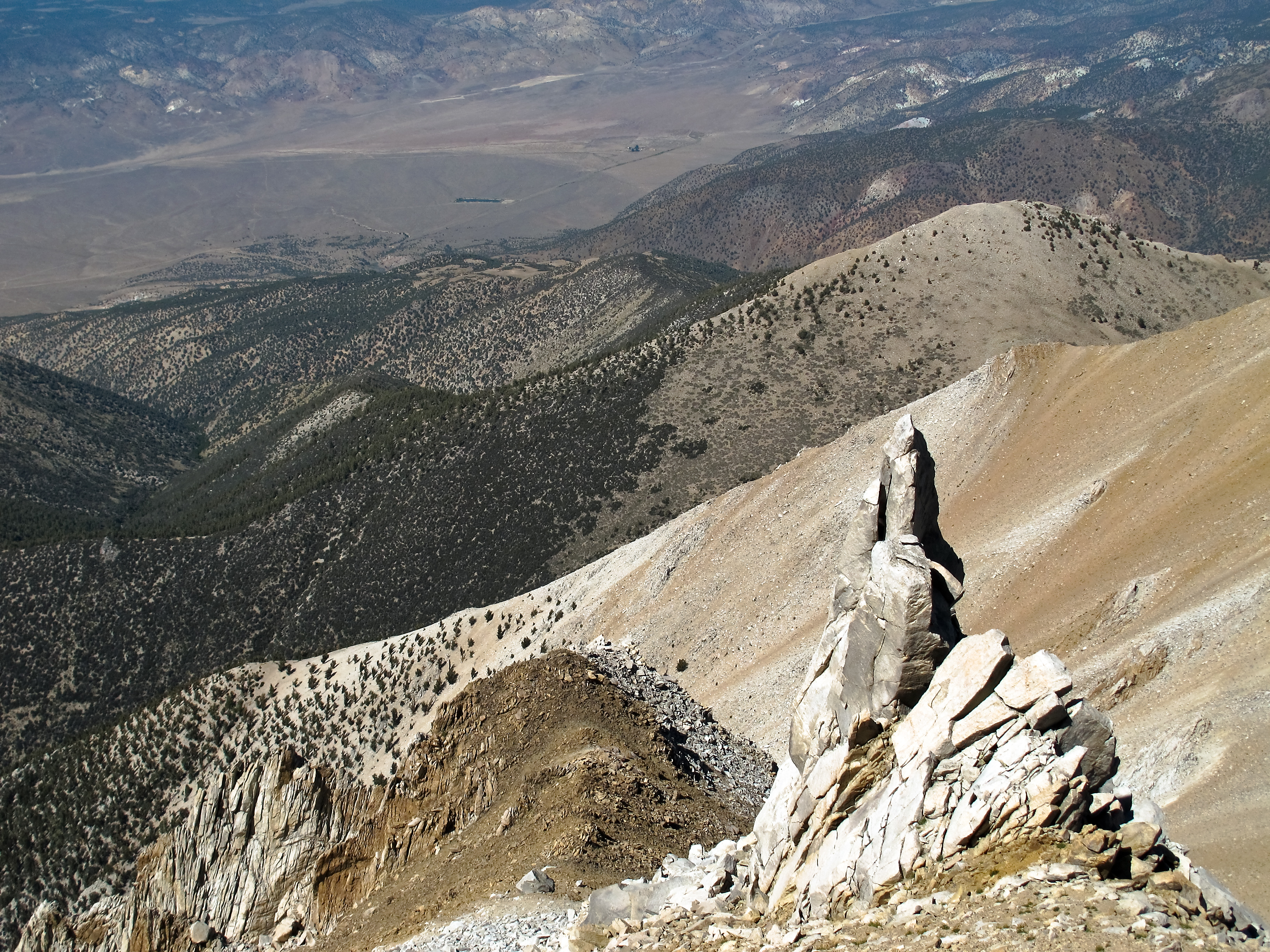
View east from Boundary Peak

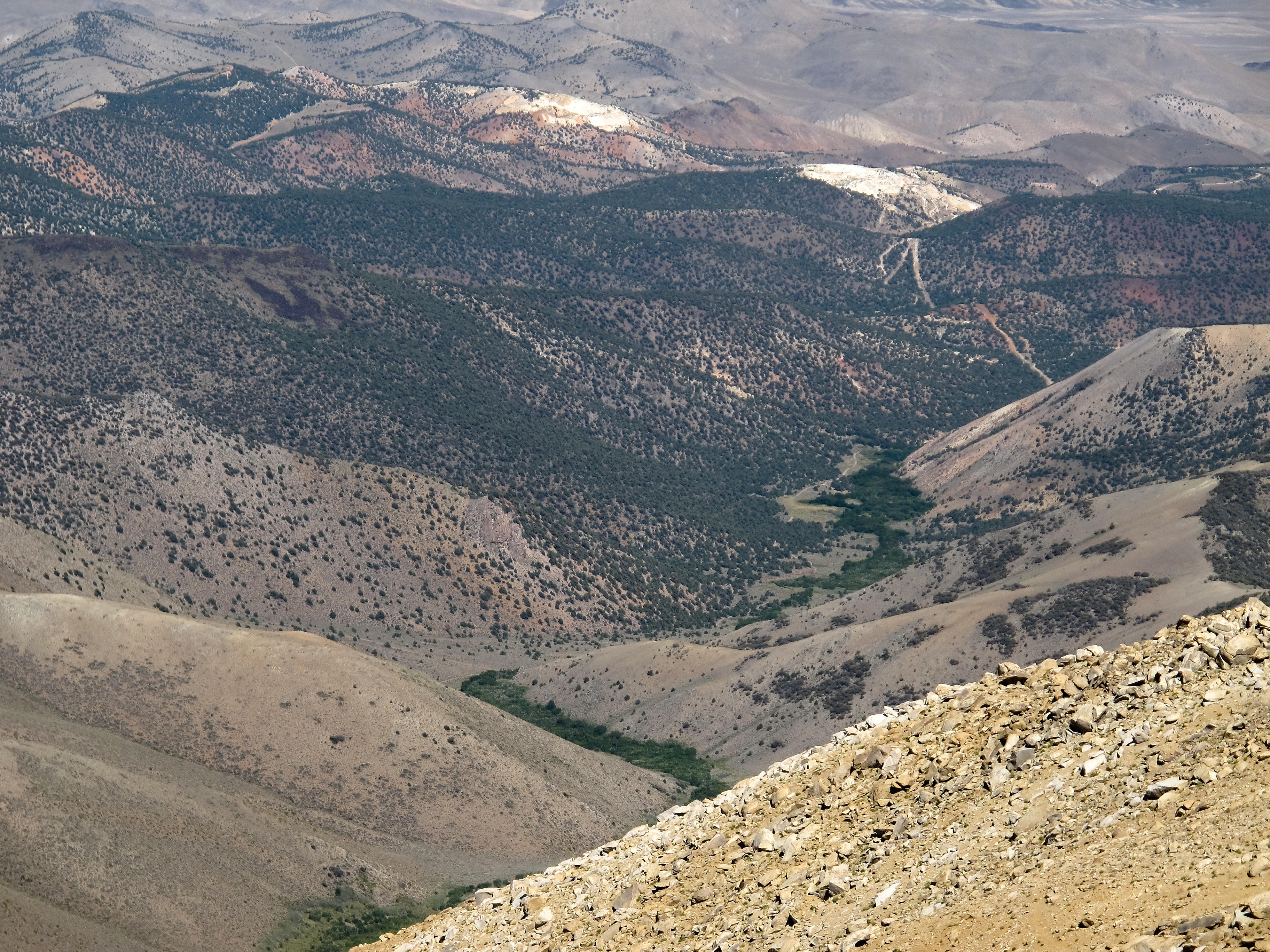
View towards the Benton Valley
Boundary Peak's rugged western slopes

View north from Boundary Peak

View northeast from Boundary Peak

Alpine flowers on Boundary Peak
View down towards Trail Canyon
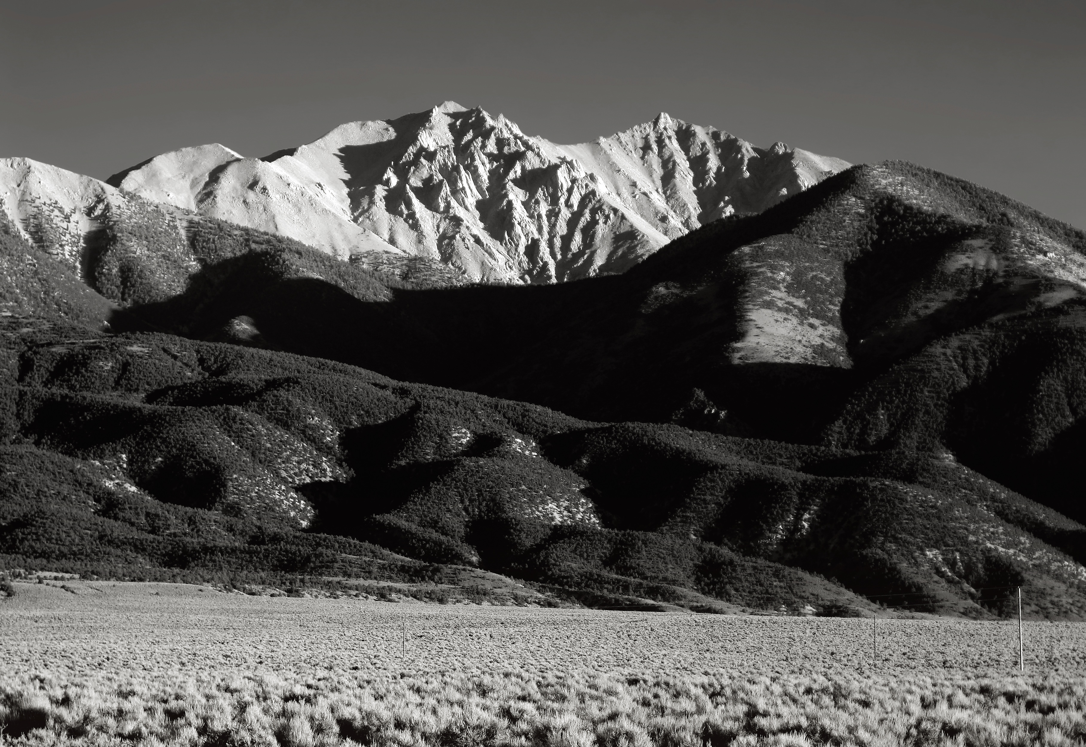
Boundary and Montgomery Peak from Hwy 6
Nevada afternoon
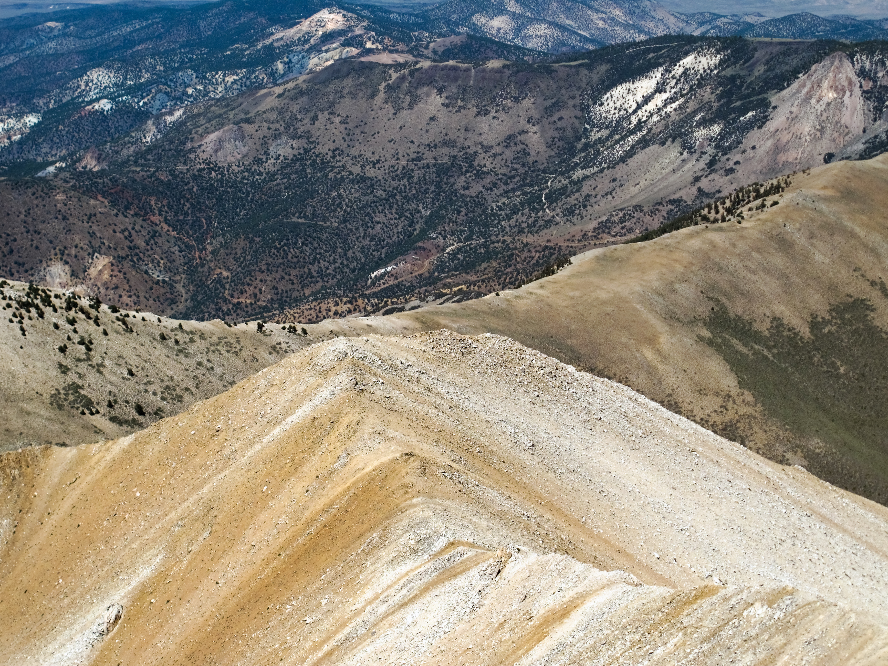
Boundary Peak ridge line

Gold Point 55
Growing up high

Trail Canyon with the Volcanic Hills beyond
Looking down from Boundary
41 Christie Ln, Benton, CA 美国的地图
查询其他地方的日出日落时间
附近地点
美国加利福尼亚州本顿
CA-, Benton, CA 美国
美国内华达邦德里峰
Mt Dubois, California 美国Mount Dubois
Hammil Rd, Bishop, CA 美国
美国加利福尼亚州怀特芒廷
Toms Place, CA 美国
Mammoth Lakes, CA 美国Holiday Campground
美国加利福尼亚州克罗利湖
1 Cougar Run, Bishop, CA 美国
美国加利福尼亚州斯沃尔草甸
Aspen Spring Ranch Rd, Mammoth Lakes, CA 美国
S Landing Rd, Mammoth Lakes, CA 美国
Volcanic Tableland, California 美国
Piute Mountain, California 美国
Wheeler Crest, California 美国
Sheep Mountain, California 美国
Hot Creek, California, 美国
美国加利福尼亚州梅萨
Airport Rd, Mammoth Lakes, CA 美国猛犸约塞米蒂机场
最近搜索
- Red Dog Mine, AK, USA的日出日落时间表
- Am bhf, Borken, 德国Am Bahnhof的日出日落时间表
- 4th St E, Sonoma, CA 美国的日出日落时间表
- Oakland Ave, Williamsport, PA 美国的日出日落时间表
- Via Roma, Pieranica CR, Italy的日出日落时间表
- 克罗地亚杜布罗夫尼克 GradClock Tower of Dubrovnik的日出日落时间表
- 阿根廷丘布特省特雷利乌的日出日落时间表
- Hartfords Bluff Cir, Mt Pleasant, SC 美国的日出日落时间表
- 日本熊本县熊本市北区的日出日落时间表
- 中国福州市平潭县平潭岛的日出日落时间表