Sunrise Sunset Times of Wynndel, BC V0B, Canada
Location: Canada > British Columbia > Central Kootenay > Central Kootenay A >
Timezone:
America/Edmonton
Current Time:
2025-06-26 13:20:35
Longitude:
-116.555034
Latitude:
49.1807329
Sunrise Today:
05:43:28 AM
Sunset Today:
09:55:29 PM
Daylength Today:
16h 12m 1s
Sunrise Tomorrow:
05:44:00 AM
Sunset Tomorrow:
09:55:21 PM
Daylength Tomorrow:
16h 11m 21s
Year Show All Dates
| Date | Sunrise | Sunset | Daylength |
|---|---|---|---|
| 01/01/2025 | 08:40:47 AM | 05:00:04 PM | 8h 19m 17s |
| 01/02/2025 | 08:40:38 AM | 05:01:07 PM | 8h 20m 29s |
| 01/03/2025 | 08:40:26 AM | 05:02:13 PM | 8h 21m 47s |
| 01/04/2025 | 08:40:12 AM | 05:03:21 PM | 8h 23m 9s |
| 01/05/2025 | 08:39:54 AM | 05:04:31 PM | 8h 24m 37s |
| 01/06/2025 | 08:39:33 AM | 05:05:44 PM | 8h 26m 11s |
| 01/07/2025 | 08:39:10 AM | 05:06:58 PM | 8h 27m 48s |
| 01/08/2025 | 08:38:43 AM | 05:08:14 PM | 8h 29m 31s |
| 01/09/2025 | 08:38:14 AM | 05:09:32 PM | 8h 31m 18s |
| 01/10/2025 | 08:37:42 AM | 05:10:51 PM | 8h 33m 9s |
| 01/11/2025 | 08:37:06 AM | 05:12:13 PM | 8h 35m 7s |
| 01/12/2025 | 08:36:28 AM | 05:13:35 PM | 8h 37m 7s |
| 01/13/2025 | 08:35:48 AM | 05:15:00 PM | 8h 39m 12s |
| 01/14/2025 | 08:35:04 AM | 05:16:25 PM | 8h 41m 21s |
| 01/15/2025 | 08:34:18 AM | 05:17:53 PM | 8h 43m 35s |
| 01/16/2025 | 08:33:29 AM | 05:19:21 PM | 8h 45m 52s |
| 01/17/2025 | 08:32:37 AM | 05:20:50 PM | 8h 48m 13s |
| 01/18/2025 | 08:31:43 AM | 05:22:21 PM | 8h 50m 38s |
| 01/19/2025 | 08:30:47 AM | 05:23:53 PM | 8h 53m 6s |
| 01/20/2025 | 08:29:47 AM | 05:25:26 PM | 8h 55m 39s |
| 01/21/2025 | 08:28:46 AM | 05:26:59 PM | 8h 58m 13s |
| 01/22/2025 | 08:27:42 AM | 05:28:34 PM | 9h 0m 52s |
| 01/23/2025 | 08:26:36 AM | 05:30:09 PM | 9h 3m 33s |
| 01/24/2025 | 08:25:27 AM | 05:31:45 PM | 9h 6m 18s |
| 01/25/2025 | 08:24:16 AM | 05:33:21 PM | 9h 9m 5s |
| 01/26/2025 | 08:23:03 AM | 05:34:59 PM | 9h 11m 56s |
| 01/27/2025 | 08:21:48 AM | 05:36:36 PM | 9h 14m 48s |
| 01/28/2025 | 08:20:30 AM | 05:38:15 PM | 9h 17m 45s |
| 01/29/2025 | 08:19:11 AM | 05:39:53 PM | 9h 20m 42s |
| 01/30/2025 | 08:17:50 AM | 05:41:32 PM | 9h 23m 42s |
| 01/31/2025 | 08:16:26 AM | 05:43:12 PM | 9h 26m 46s |
| 02/01/2025 | 08:15:01 AM | 05:44:51 PM | 9h 29m 50s |
| 02/02/2025 | 08:13:34 AM | 05:46:31 PM | 9h 32m 57s |
| 02/03/2025 | 08:12:05 AM | 05:48:11 PM | 9h 36m 6s |
| 02/04/2025 | 08:10:34 AM | 05:49:51 PM | 9h 39m 17s |
| 02/05/2025 | 08:09:02 AM | 05:51:32 PM | 9h 42m 30s |
| 02/06/2025 | 08:07:28 AM | 05:53:12 PM | 9h 45m 44s |
| 02/07/2025 | 08:05:52 AM | 05:54:52 PM | 9h 49m 0s |
| 02/08/2025 | 08:04:15 AM | 05:56:33 PM | 9h 52m 18s |
| 02/09/2025 | 08:02:36 AM | 05:58:13 PM | 9h 55m 37s |
| 02/10/2025 | 08:00:55 AM | 05:59:53 PM | 9h 58m 58s |
| 02/11/2025 | 07:59:14 AM | 06:01:34 PM | 10h 2m 20s |
| 02/12/2025 | 07:57:31 AM | 06:03:14 PM | 10h 5m 43s |
| 02/13/2025 | 07:55:46 AM | 06:04:54 PM | 10h 9m 8s |
| 02/14/2025 | 07:54:00 AM | 06:06:34 PM | 10h 12m 34s |
| 02/15/2025 | 07:52:13 AM | 06:08:13 PM | 10h 16m 0s |
| 02/16/2025 | 07:50:25 AM | 06:09:53 PM | 10h 19m 28s |
| 02/17/2025 | 07:48:36 AM | 06:11:32 PM | 10h 22m 56s |
| 02/18/2025 | 07:46:45 AM | 06:13:11 PM | 10h 26m 26s |
| 02/19/2025 | 07:44:53 AM | 06:14:50 PM | 10h 29m 57s |
| 02/20/2025 | 07:43:01 AM | 06:16:29 PM | 10h 33m 28s |
| 02/21/2025 | 07:41:07 AM | 06:18:07 PM | 10h 37m 0s |
| 02/22/2025 | 07:39:12 AM | 06:19:45 PM | 10h 40m 33s |
| 02/23/2025 | 07:37:16 AM | 06:21:23 PM | 10h 44m 7s |
| 02/24/2025 | 07:35:20 AM | 06:23:01 PM | 10h 47m 41s |
| 02/25/2025 | 07:33:23 AM | 06:24:38 PM | 10h 51m 15s |
| 02/26/2025 | 07:31:24 AM | 06:26:15 PM | 10h 54m 51s |
| 02/27/2025 | 07:29:25 AM | 06:27:52 PM | 10h 58m 27s |
| 02/28/2025 | 07:27:26 AM | 06:29:28 PM | 11h 2m 2s |
| 03/01/2025 | 07:25:25 AM | 06:31:05 PM | 11h 5m 40s |
| 03/02/2025 | 07:23:24 AM | 06:32:41 PM | 11h 9m 17s |
| 03/03/2025 | 07:21:22 AM | 06:34:16 PM | 11h 12m 54s |
| 03/04/2025 | 07:19:20 AM | 06:35:52 PM | 11h 16m 32s |
| 03/05/2025 | 07:17:17 AM | 06:37:27 PM | 11h 20m 10s |
| 03/06/2025 | 07:15:13 AM | 06:39:02 PM | 11h 23m 49s |
| 03/07/2025 | 07:13:09 AM | 06:40:36 PM | 11h 27m 27s |
| 03/08/2025 | 07:11:05 AM | 06:42:10 PM | 11h 31m 5s |
| 03/09/2025 | 08:09:05 AM | 07:43:41 PM | 11h 34m 36s |
| 03/10/2025 | 08:07:00 AM | 07:45:15 PM | 11h 38m 15s |
| 03/11/2025 | 08:04:54 AM | 07:46:48 PM | 11h 41m 54s |
| 03/12/2025 | 08:02:48 AM | 07:48:22 PM | 11h 45m 34s |
| 03/13/2025 | 08:00:42 AM | 07:49:55 PM | 11h 49m 13s |
| 03/14/2025 | 07:58:35 AM | 07:51:28 PM | 11h 52m 53s |
| 03/15/2025 | 07:56:28 AM | 07:53:01 PM | 11h 56m 33s |
| 03/16/2025 | 07:54:21 AM | 07:54:33 PM | 12h 0m 12s |
| 03/17/2025 | 07:52:14 AM | 07:56:06 PM | 12h 3m 52s |
| 03/18/2025 | 07:50:06 AM | 07:57:38 PM | 12h 7m 32s |
| 03/19/2025 | 07:47:59 AM | 07:59:10 PM | 12h 11m 11s |
| 03/20/2025 | 07:45:51 AM | 08:00:42 PM | 12h 14m 51s |
| 03/21/2025 | 07:43:44 AM | 08:02:14 PM | 12h 18m 30s |
| 03/22/2025 | 07:41:36 AM | 08:03:46 PM | 12h 22m 10s |
| 03/23/2025 | 07:39:28 AM | 08:05:17 PM | 12h 25m 49s |
| 03/24/2025 | 07:37:21 AM | 08:06:49 PM | 12h 29m 28s |
| 03/25/2025 | 07:35:13 AM | 08:08:20 PM | 12h 33m 7s |
| 03/26/2025 | 07:33:05 AM | 08:09:51 PM | 12h 36m 46s |
| 03/27/2025 | 07:30:58 AM | 08:11:22 PM | 12h 40m 24s |
| 03/28/2025 | 07:28:51 AM | 08:12:54 PM | 12h 44m 3s |
| 03/29/2025 | 07:26:44 AM | 08:14:25 PM | 12h 47m 41s |
| 03/30/2025 | 07:24:37 AM | 08:15:56 PM | 12h 51m 19s |
| 03/31/2025 | 07:22:31 AM | 08:17:27 PM | 12h 54m 56s |
| 04/01/2025 | 07:20:24 AM | 08:18:58 PM | 12h 58m 34s |
| 04/02/2025 | 07:18:18 AM | 08:20:28 PM | 13h 2m 10s |
| 04/03/2025 | 07:16:13 AM | 08:21:59 PM | 13h 5m 46s |
| 04/04/2025 | 07:14:07 AM | 08:23:30 PM | 13h 9m 23s |
| 04/05/2025 | 07:12:03 AM | 08:25:01 PM | 13h 12m 58s |
| 04/06/2025 | 07:09:58 AM | 08:26:32 PM | 13h 16m 34s |
| 04/07/2025 | 07:07:54 AM | 08:28:02 PM | 13h 20m 8s |
| 04/08/2025 | 07:05:51 AM | 08:29:33 PM | 13h 23m 42s |
| 04/09/2025 | 07:03:48 AM | 08:31:04 PM | 13h 27m 16s |
| 04/10/2025 | 07:01:46 AM | 08:32:35 PM | 13h 30m 49s |
| 04/11/2025 | 06:59:44 AM | 08:34:05 PM | 13h 34m 21s |
| 04/12/2025 | 06:57:43 AM | 08:35:36 PM | 13h 37m 53s |
| 04/13/2025 | 06:55:43 AM | 08:37:07 PM | 13h 41m 24s |
| 04/14/2025 | 06:53:43 AM | 08:38:37 PM | 13h 44m 54s |
| 04/15/2025 | 06:51:44 AM | 08:40:08 PM | 13h 48m 24s |
| 04/16/2025 | 06:49:46 AM | 08:41:39 PM | 13h 51m 53s |
| 04/17/2025 | 06:47:49 AM | 08:43:09 PM | 13h 55m 20s |
| 04/18/2025 | 06:45:52 AM | 08:44:40 PM | 13h 58m 48s |
| 04/19/2025 | 06:43:57 AM | 08:46:10 PM | 14h 2m 13s |
| 04/20/2025 | 06:42:02 AM | 08:47:41 PM | 14h 5m 39s |
| 04/21/2025 | 06:40:08 AM | 08:49:11 PM | 14h 9m 3s |
| 04/22/2025 | 06:38:16 AM | 08:50:41 PM | 14h 12m 25s |
| 04/23/2025 | 06:36:24 AM | 08:52:12 PM | 14h 15m 48s |
| 04/24/2025 | 06:34:34 AM | 08:53:42 PM | 14h 19m 8s |
| 04/25/2025 | 06:32:44 AM | 08:55:12 PM | 14h 22m 28s |
| 04/26/2025 | 06:30:56 AM | 08:56:41 PM | 14h 25m 45s |
| 04/27/2025 | 06:29:09 AM | 08:58:11 PM | 14h 29m 2s |
| 04/28/2025 | 06:27:23 AM | 08:59:40 PM | 14h 32m 17s |
| 04/29/2025 | 06:25:38 AM | 09:01:09 PM | 14h 35m 31s |
| 04/30/2025 | 06:23:55 AM | 09:02:38 PM | 14h 38m 43s |
| 05/01/2025 | 06:22:13 AM | 09:04:07 PM | 14h 41m 54s |
| 05/02/2025 | 06:20:33 AM | 09:05:35 PM | 14h 45m 2s |
| 05/03/2025 | 06:18:54 AM | 09:07:03 PM | 14h 48m 9s |
| 05/04/2025 | 06:17:16 AM | 09:08:31 PM | 14h 51m 15s |
| 05/05/2025 | 06:15:40 AM | 09:09:58 PM | 14h 54m 18s |
| 05/06/2025 | 06:14:06 AM | 09:11:25 PM | 14h 57m 19s |
| 05/07/2025 | 06:12:33 AM | 09:12:51 PM | 15h 0m 18s |
| 05/08/2025 | 06:11:02 AM | 09:14:17 PM | 15h 3m 15s |
| 05/09/2025 | 06:09:32 AM | 09:15:42 PM | 15h 6m 10s |
| 05/10/2025 | 06:08:05 AM | 09:17:06 PM | 15h 9m 1s |
| 05/11/2025 | 06:06:39 AM | 09:18:30 PM | 15h 11m 51s |
| 05/12/2025 | 06:05:15 AM | 09:19:54 PM | 15h 14m 39s |
| 05/13/2025 | 06:03:52 AM | 09:21:16 PM | 15h 17m 24s |
| 05/14/2025 | 06:02:32 AM | 09:22:38 PM | 15h 20m 6s |
| 05/15/2025 | 06:01:14 AM | 09:23:59 PM | 15h 22m 45s |
| 05/16/2025 | 05:59:57 AM | 09:25:19 PM | 15h 25m 22s |
| 05/17/2025 | 05:58:43 AM | 09:26:38 PM | 15h 27m 55s |
| 05/18/2025 | 05:57:31 AM | 09:27:56 PM | 15h 30m 25s |
| 05/19/2025 | 05:56:21 AM | 09:29:13 PM | 15h 32m 52s |
| 05/20/2025 | 05:55:13 AM | 09:30:29 PM | 15h 35m 16s |
| 05/21/2025 | 05:54:07 AM | 09:31:43 PM | 15h 37m 36s |
| 05/22/2025 | 05:53:04 AM | 09:32:57 PM | 15h 39m 53s |
| 05/23/2025 | 05:52:03 AM | 09:34:09 PM | 15h 42m 6s |
| 05/24/2025 | 05:51:04 AM | 09:35:20 PM | 15h 44m 16s |
| 05/25/2025 | 05:50:08 AM | 09:36:30 PM | 15h 46m 22s |
| 05/26/2025 | 05:49:14 AM | 09:37:38 PM | 15h 48m 24s |
| 05/27/2025 | 05:48:22 AM | 09:38:44 PM | 15h 50m 22s |
| 05/28/2025 | 05:47:33 AM | 09:39:49 PM | 15h 52m 16s |
| 05/29/2025 | 05:46:47 AM | 09:40:52 PM | 15h 54m 5s |
| 05/30/2025 | 05:46:03 AM | 09:41:54 PM | 15h 55m 51s |
| 05/31/2025 | 05:45:22 AM | 09:42:53 PM | 15h 57m 31s |
| 06/01/2025 | 05:44:43 AM | 09:43:51 PM | 15h 59m 8s |
| 06/02/2025 | 05:44:07 AM | 09:44:47 PM | 16h 0m 40s |
| 06/03/2025 | 05:43:33 AM | 09:45:41 PM | 16h 2m 8s |
| 06/04/2025 | 05:43:03 AM | 09:46:33 PM | 16h 3m 30s |
| 06/05/2025 | 05:42:34 AM | 09:47:23 PM | 16h 4m 49s |
| 06/06/2025 | 05:42:09 AM | 09:48:11 PM | 16h 6m 2s |
| 06/07/2025 | 05:41:46 AM | 09:48:57 PM | 16h 7m 11s |
| 06/08/2025 | 05:41:27 AM | 09:49:40 PM | 16h 8m 13s |
| 06/09/2025 | 05:41:09 AM | 09:50:21 PM | 16h 9m 12s |
| 06/10/2025 | 05:40:55 AM | 09:51:00 PM | 16h 10m 5s |
| 06/11/2025 | 05:40:43 AM | 09:51:37 PM | 16h 10m 54s |
| 06/12/2025 | 05:40:35 AM | 09:52:11 PM | 16h 11m 36s |
| 06/13/2025 | 05:40:29 AM | 09:52:42 PM | 16h 12m 13s |
| 06/14/2025 | 05:40:25 AM | 09:53:11 PM | 16h 12m 46s |
| 06/15/2025 | 05:40:25 AM | 09:53:38 PM | 16h 13m 13s |
| 06/16/2025 | 05:40:27 AM | 09:54:01 PM | 16h 13m 34s |
| 06/17/2025 | 05:40:32 AM | 09:54:23 PM | 16h 13m 51s |
| 06/18/2025 | 05:40:39 AM | 09:54:41 PM | 16h 14m 2s |
| 06/19/2025 | 05:40:50 AM | 09:54:57 PM | 16h 14m 7s |
| 06/20/2025 | 05:41:03 AM | 09:55:10 PM | 16h 14m 7s |
| 06/21/2025 | 05:41:18 AM | 09:55:21 PM | 16h 14m 3s |
| 06/22/2025 | 05:41:37 AM | 09:55:28 PM | 16h 13m 51s |
| 06/23/2025 | 05:41:57 AM | 09:55:33 PM | 16h 13m 36s |
| 06/24/2025 | 05:42:21 AM | 09:55:35 PM | 16h 13m 14s |
| 06/25/2025 | 05:42:47 AM | 09:55:34 PM | 16h 12m 47s |
| 06/26/2025 | 05:43:15 AM | 09:55:31 PM | 16h 12m 16s |
| 06/27/2025 | 05:43:46 AM | 09:55:25 PM | 16h 11m 39s |
| 06/28/2025 | 05:44:19 AM | 09:55:15 PM | 16h 10m 56s |
| 06/29/2025 | 05:44:55 AM | 09:55:03 PM | 16h 10m 8s |
| 06/30/2025 | 05:45:33 AM | 09:54:49 PM | 16h 9m 16s |
| 07/01/2025 | 05:46:13 AM | 09:54:31 PM | 16h 8m 18s |
| 07/02/2025 | 05:46:56 AM | 09:54:11 PM | 16h 7m 15s |
| 07/03/2025 | 05:47:40 AM | 09:53:48 PM | 16h 6m 8s |
| 07/04/2025 | 05:48:27 AM | 09:53:22 PM | 16h 4m 55s |
| 07/05/2025 | 05:49:15 AM | 09:52:53 PM | 16h 3m 38s |
| 07/06/2025 | 05:50:06 AM | 09:52:22 PM | 16h 2m 16s |
| 07/07/2025 | 05:50:59 AM | 09:51:47 PM | 16h 0m 48s |
| 07/08/2025 | 05:51:53 AM | 09:51:11 PM | 15h 59m 18s |
| 07/09/2025 | 05:52:50 AM | 09:50:31 PM | 15h 57m 41s |
| 07/10/2025 | 05:53:48 AM | 09:49:49 PM | 15h 56m 1s |
| 07/11/2025 | 05:54:47 AM | 09:49:04 PM | 15h 54m 17s |
| 07/12/2025 | 05:55:49 AM | 09:48:17 PM | 15h 52m 28s |
| 07/13/2025 | 05:56:52 AM | 09:47:27 PM | 15h 50m 35s |
| 07/14/2025 | 05:57:56 AM | 09:46:35 PM | 15h 48m 39s |
| 07/15/2025 | 05:59:02 AM | 09:45:40 PM | 15h 46m 38s |
| 07/16/2025 | 06:00:09 AM | 09:44:43 PM | 15h 44m 34s |
| 07/17/2025 | 06:01:18 AM | 09:43:44 PM | 15h 42m 26s |
| 07/18/2025 | 06:02:28 AM | 09:42:42 PM | 15h 40m 14s |
| 07/19/2025 | 06:03:39 AM | 09:41:37 PM | 15h 37m 58s |
| 07/20/2025 | 06:04:51 AM | 09:40:31 PM | 15h 35m 40s |
| 07/21/2025 | 06:06:04 AM | 09:39:22 PM | 15h 33m 18s |
| 07/22/2025 | 06:07:19 AM | 09:38:11 PM | 15h 30m 52s |
| 07/23/2025 | 06:08:34 AM | 09:36:58 PM | 15h 28m 24s |
| 07/24/2025 | 06:09:50 AM | 09:35:43 PM | 15h 25m 53s |
| 07/25/2025 | 06:11:07 AM | 09:34:26 PM | 15h 23m 19s |
| 07/26/2025 | 06:12:25 AM | 09:33:06 PM | 15h 20m 41s |
| 07/27/2025 | 06:13:44 AM | 09:31:45 PM | 15h 18m 1s |
| 07/28/2025 | 06:15:03 AM | 09:30:22 PM | 15h 15m 19s |
| 07/29/2025 | 06:16:23 AM | 09:28:57 PM | 15h 12m 34s |
| 07/30/2025 | 06:17:44 AM | 09:27:30 PM | 15h 9m 46s |
| 07/31/2025 | 06:19:05 AM | 09:26:01 PM | 15h 6m 56s |
| 08/01/2025 | 06:20:27 AM | 09:24:31 PM | 15h 4m 4s |
| 08/02/2025 | 06:21:49 AM | 09:22:58 PM | 15h 1m 9s |
| 08/03/2025 | 06:23:12 AM | 09:21:25 PM | 14h 58m 13s |
| 08/04/2025 | 06:24:35 AM | 09:19:49 PM | 14h 55m 14s |
| 08/05/2025 | 06:25:59 AM | 09:18:12 PM | 14h 52m 13s |
| 08/06/2025 | 06:27:23 AM | 09:16:33 PM | 14h 49m 10s |
| 08/07/2025 | 06:28:47 AM | 09:14:53 PM | 14h 46m 6s |
| 08/08/2025 | 06:30:12 AM | 09:13:12 PM | 14h 43m 0s |
| 08/09/2025 | 06:31:36 AM | 09:11:29 PM | 14h 39m 53s |
| 08/10/2025 | 06:33:01 AM | 09:09:45 PM | 14h 36m 44s |
| 08/11/2025 | 06:34:26 AM | 09:07:59 PM | 14h 33m 33s |
| 08/12/2025 | 06:35:52 AM | 09:06:12 PM | 14h 30m 20s |
| 08/13/2025 | 06:37:17 AM | 09:04:24 PM | 14h 27m 7s |
| 08/14/2025 | 06:38:43 AM | 09:02:35 PM | 14h 23m 52s |
| 08/15/2025 | 06:40:09 AM | 09:00:44 PM | 14h 20m 35s |
| 08/16/2025 | 06:41:35 AM | 08:58:52 PM | 14h 17m 17s |
| 08/17/2025 | 06:43:01 AM | 08:57:00 PM | 14h 13m 59s |
| 08/18/2025 | 06:44:27 AM | 08:55:06 PM | 14h 10m 39s |
| 08/19/2025 | 06:45:53 AM | 08:53:11 PM | 14h 7m 18s |
| 08/20/2025 | 06:47:19 AM | 08:51:15 PM | 14h 3m 56s |
| 08/21/2025 | 06:48:45 AM | 08:49:19 PM | 14h 0m 34s |
| 08/22/2025 | 06:50:11 AM | 08:47:21 PM | 13h 57m 10s |
| 08/23/2025 | 06:51:37 AM | 08:45:22 PM | 13h 53m 45s |
| 08/24/2025 | 06:53:03 AM | 08:43:23 PM | 13h 50m 20s |
| 08/25/2025 | 06:54:30 AM | 08:41:23 PM | 13h 46m 53s |
| 08/26/2025 | 06:55:56 AM | 08:39:22 PM | 13h 43m 26s |
| 08/27/2025 | 06:57:22 AM | 08:37:21 PM | 13h 39m 59s |
| 08/28/2025 | 06:58:48 AM | 08:35:18 PM | 13h 36m 30s |
| 08/29/2025 | 07:00:14 AM | 08:33:15 PM | 13h 33m 1s |
| 08/30/2025 | 07:01:40 AM | 08:31:12 PM | 13h 29m 32s |
| 08/31/2025 | 07:03:06 AM | 08:29:08 PM | 13h 26m 2s |
| 09/01/2025 | 07:04:32 AM | 08:27:03 PM | 13h 22m 31s |
| 09/02/2025 | 07:05:58 AM | 08:24:58 PM | 13h 19m 0s |
| 09/03/2025 | 07:07:24 AM | 08:22:52 PM | 13h 15m 28s |
| 09/04/2025 | 07:08:50 AM | 08:20:46 PM | 13h 11m 56s |
| 09/05/2025 | 07:10:16 AM | 08:18:39 PM | 13h 8m 23s |
| 09/06/2025 | 07:11:42 AM | 08:16:32 PM | 13h 4m 50s |
| 09/07/2025 | 07:13:08 AM | 08:14:25 PM | 13h 1m 17s |
| 09/08/2025 | 07:14:34 AM | 08:12:17 PM | 12h 57m 43s |
| 09/09/2025 | 07:16:00 AM | 08:10:09 PM | 12h 54m 9s |
| 09/10/2025 | 07:17:26 AM | 08:08:01 PM | 12h 50m 35s |
| 09/11/2025 | 07:18:52 AM | 08:05:53 PM | 12h 47m 1s |
| 09/12/2025 | 07:20:18 AM | 08:03:44 PM | 12h 43m 26s |
| 09/13/2025 | 07:21:44 AM | 08:01:35 PM | 12h 39m 51s |
| 09/14/2025 | 07:23:10 AM | 07:59:26 PM | 12h 36m 16s |
| 09/15/2025 | 07:24:37 AM | 07:57:17 PM | 12h 32m 40s |
| 09/16/2025 | 07:26:03 AM | 07:55:07 PM | 12h 29m 4s |
| 09/17/2025 | 07:27:30 AM | 07:52:58 PM | 12h 25m 28s |
| 09/18/2025 | 07:28:56 AM | 07:50:49 PM | 12h 21m 53s |
| 09/19/2025 | 07:30:23 AM | 07:48:39 PM | 12h 18m 16s |
| 09/20/2025 | 07:31:50 AM | 07:46:30 PM | 12h 14m 40s |
| 09/21/2025 | 07:33:17 AM | 07:44:21 PM | 12h 11m 4s |
| 09/22/2025 | 07:34:44 AM | 07:42:12 PM | 12h 7m 28s |
| 09/23/2025 | 07:36:11 AM | 07:40:02 PM | 12h 3m 51s |
| 09/24/2025 | 07:37:38 AM | 07:37:54 PM | 12h 0m 16s |
| 09/25/2025 | 07:39:06 AM | 07:35:45 PM | 11h 56m 39s |
| 09/26/2025 | 07:40:34 AM | 07:33:36 PM | 11h 53m 2s |
| 09/27/2025 | 07:42:02 AM | 07:31:28 PM | 11h 49m 26s |
| 09/28/2025 | 07:43:30 AM | 07:29:20 PM | 11h 45m 50s |
| 09/29/2025 | 07:44:58 AM | 07:27:12 PM | 11h 42m 14s |
| 09/30/2025 | 07:46:27 AM | 07:25:05 PM | 11h 38m 38s |
| 10/01/2025 | 07:47:56 AM | 07:22:58 PM | 11h 35m 2s |
| 10/02/2025 | 07:49:25 AM | 07:20:51 PM | 11h 31m 26s |
| 10/03/2025 | 07:50:54 AM | 07:18:45 PM | 11h 27m 51s |
| 10/04/2025 | 07:52:24 AM | 07:16:39 PM | 11h 24m 15s |
| 10/05/2025 | 07:53:53 AM | 07:14:34 PM | 11h 20m 41s |
| 10/06/2025 | 07:55:24 AM | 07:12:29 PM | 11h 17m 5s |
| 10/07/2025 | 07:56:54 AM | 07:10:25 PM | 11h 13m 31s |
| 10/08/2025 | 07:58:25 AM | 07:08:21 PM | 11h 9m 56s |
| 10/09/2025 | 07:59:56 AM | 07:06:18 PM | 11h 6m 22s |
| 10/10/2025 | 08:01:27 AM | 07:04:16 PM | 11h 2m 49s |
| 10/11/2025 | 08:02:59 AM | 07:02:15 PM | 10h 59m 16s |
| 10/12/2025 | 08:04:31 AM | 07:00:14 PM | 10h 55m 43s |
| 10/13/2025 | 08:06:03 AM | 06:58:14 PM | 10h 52m 11s |
| 10/14/2025 | 08:07:35 AM | 06:56:14 PM | 10h 48m 39s |
| 10/15/2025 | 08:09:08 AM | 06:54:16 PM | 10h 45m 8s |
| 10/16/2025 | 08:10:41 AM | 06:52:18 PM | 10h 41m 37s |
| 10/17/2025 | 08:12:15 AM | 06:50:21 PM | 10h 38m 6s |
| 10/18/2025 | 08:13:48 AM | 06:48:26 PM | 10h 34m 38s |
| 10/19/2025 | 08:15:22 AM | 06:46:31 PM | 10h 31m 9s |
| 10/20/2025 | 08:16:57 AM | 06:44:37 PM | 10h 27m 40s |
| 10/21/2025 | 08:18:31 AM | 06:42:45 PM | 10h 24m 14s |
| 10/22/2025 | 08:20:06 AM | 06:40:53 PM | 10h 20m 47s |
| 10/23/2025 | 08:21:41 AM | 06:39:03 PM | 10h 17m 22s |
| 10/24/2025 | 08:23:16 AM | 06:37:13 PM | 10h 13m 57s |
| 10/25/2025 | 08:24:52 AM | 06:35:25 PM | 10h 10m 33s |
| 10/26/2025 | 08:26:27 AM | 06:33:39 PM | 10h 7m 12s |
| 10/27/2025 | 08:28:03 AM | 06:31:53 PM | 10h 3m 50s |
| 10/28/2025 | 08:29:39 AM | 06:30:09 PM | 10h 0m 30s |
| 10/29/2025 | 08:31:16 AM | 06:28:27 PM | 9h 57m 11s |
| 10/30/2025 | 08:32:52 AM | 06:26:46 PM | 9h 53m 54s |
| 10/31/2025 | 08:34:28 AM | 06:25:06 PM | 9h 50m 38s |
| 11/01/2025 | 08:36:05 AM | 06:23:28 PM | 9h 47m 23s |
| 11/02/2025 | 07:37:45 AM | 05:21:47 PM | 9h 44m 2s |
| 11/03/2025 | 07:39:22 AM | 05:20:12 PM | 9h 40m 50s |
| 11/04/2025 | 07:40:58 AM | 05:18:39 PM | 9h 37m 41s |
| 11/05/2025 | 07:42:35 AM | 05:17:08 PM | 9h 34m 33s |
| 11/06/2025 | 07:44:11 AM | 05:15:38 PM | 9h 31m 27s |
| 11/07/2025 | 07:45:47 AM | 05:14:10 PM | 9h 28m 23s |
| 11/08/2025 | 07:47:23 AM | 05:12:44 PM | 9h 25m 21s |
| 11/09/2025 | 07:48:59 AM | 05:11:20 PM | 9h 22m 21s |
| 11/10/2025 | 07:50:35 AM | 05:09:58 PM | 9h 19m 23s |
| 11/11/2025 | 07:52:10 AM | 05:08:38 PM | 9h 16m 28s |
| 11/12/2025 | 07:53:45 AM | 05:07:20 PM | 9h 13m 35s |
| 11/13/2025 | 07:55:19 AM | 05:06:04 PM | 9h 10m 45s |
| 11/14/2025 | 07:56:53 AM | 05:04:50 PM | 9h 7m 57s |
| 11/15/2025 | 07:58:26 AM | 05:03:39 PM | 9h 5m 13s |
| 11/16/2025 | 07:59:59 AM | 05:02:30 PM | 9h 2m 31s |
| 11/17/2025 | 08:01:31 AM | 05:01:23 PM | 8h 59m 52s |
| 11/18/2025 | 08:03:03 AM | 05:00:18 PM | 8h 57m 15s |
| 11/19/2025 | 08:04:33 AM | 04:59:16 PM | 8h 54m 43s |
| 11/20/2025 | 08:06:03 AM | 04:58:17 PM | 8h 52m 14s |
| 11/21/2025 | 08:07:32 AM | 04:57:19 PM | 8h 49m 47s |
| 11/22/2025 | 08:09:00 AM | 04:56:25 PM | 8h 47m 25s |
| 11/23/2025 | 08:10:27 AM | 04:55:33 PM | 8h 45m 6s |
| 11/24/2025 | 08:11:52 AM | 04:54:44 PM | 8h 42m 52s |
| 11/25/2025 | 08:13:17 AM | 04:53:57 PM | 8h 40m 40s |
| 11/26/2025 | 08:14:40 AM | 04:53:13 PM | 8h 38m 33s |
| 11/27/2025 | 08:16:02 AM | 04:52:32 PM | 8h 36m 30s |
| 11/28/2025 | 08:17:22 AM | 04:51:53 PM | 8h 34m 31s |
| 11/29/2025 | 08:18:41 AM | 04:51:18 PM | 8h 32m 37s |
| 11/30/2025 | 08:19:59 AM | 04:50:45 PM | 8h 30m 46s |
| 12/01/2025 | 08:21:14 AM | 04:50:16 PM | 8h 29m 2s |
| 12/02/2025 | 08:22:28 AM | 04:49:49 PM | 8h 27m 21s |
| 12/03/2025 | 08:23:41 AM | 04:49:25 PM | 8h 25m 44s |
| 12/04/2025 | 08:24:51 AM | 04:49:04 PM | 8h 24m 13s |
| 12/05/2025 | 08:25:59 AM | 04:48:47 PM | 8h 22m 48s |
| 12/06/2025 | 08:27:06 AM | 04:48:32 PM | 8h 21m 26s |
| 12/07/2025 | 08:28:10 AM | 04:48:20 PM | 8h 20m 10s |
| 12/08/2025 | 08:29:12 AM | 04:48:12 PM | 8h 19m 0s |
| 12/09/2025 | 08:30:12 AM | 04:48:06 PM | 8h 17m 54s |
| 12/10/2025 | 08:31:09 AM | 04:48:04 PM | 8h 16m 55s |
| 12/11/2025 | 08:32:05 AM | 04:48:05 PM | 8h 16m 0s |
| 12/12/2025 | 08:32:57 AM | 04:48:08 PM | 8h 15m 11s |
| 12/13/2025 | 08:33:48 AM | 04:48:15 PM | 8h 14m 27s |
| 12/14/2025 | 08:34:35 AM | 04:48:25 PM | 8h 13m 50s |
| 12/15/2025 | 08:35:20 AM | 04:48:39 PM | 8h 13m 19s |
| 12/16/2025 | 08:36:03 AM | 04:48:55 PM | 8h 12m 52s |
| 12/17/2025 | 08:36:43 AM | 04:49:14 PM | 8h 12m 31s |
| 12/18/2025 | 08:37:19 AM | 04:49:36 PM | 8h 12m 17s |
| 12/19/2025 | 08:37:54 AM | 04:50:02 PM | 8h 12m 8s |
| 12/20/2025 | 08:38:25 AM | 04:50:30 PM | 8h 12m 5s |
| 12/21/2025 | 08:38:53 AM | 04:51:01 PM | 8h 12m 8s |
| 12/22/2025 | 08:39:19 AM | 04:51:36 PM | 8h 12m 17s |
| 12/23/2025 | 08:39:41 AM | 04:52:13 PM | 8h 12m 32s |
| 12/24/2025 | 08:40:01 AM | 04:52:53 PM | 8h 12m 52s |
| 12/25/2025 | 08:40:17 AM | 04:53:35 PM | 8h 13m 18s |
| 12/26/2025 | 08:40:31 AM | 04:54:21 PM | 8h 13m 50s |
| 12/27/2025 | 08:40:41 AM | 04:55:09 PM | 8h 14m 28s |
| 12/28/2025 | 08:40:49 AM | 04:56:00 PM | 8h 15m 11s |
| 12/29/2025 | 08:40:53 AM | 04:56:53 PM | 8h 16m 0s |
| 12/30/2025 | 08:40:54 AM | 04:57:49 PM | 8h 16m 55s |
| 12/31/2025 | 08:40:53 AM | 04:58:48 PM | 8h 17m 55s |
Sunrise & Sunset Photos

2012-08-05-7858
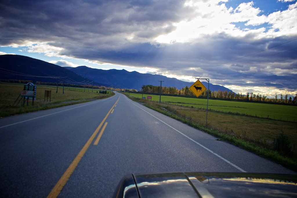
IMG_7414 Crowsnest Highway
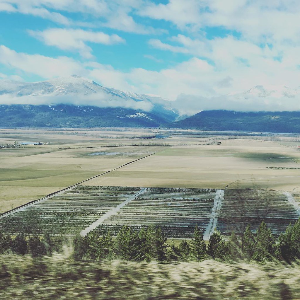
Ranchlands of Creston

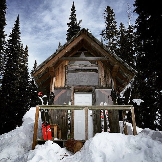
Winter Scene #2
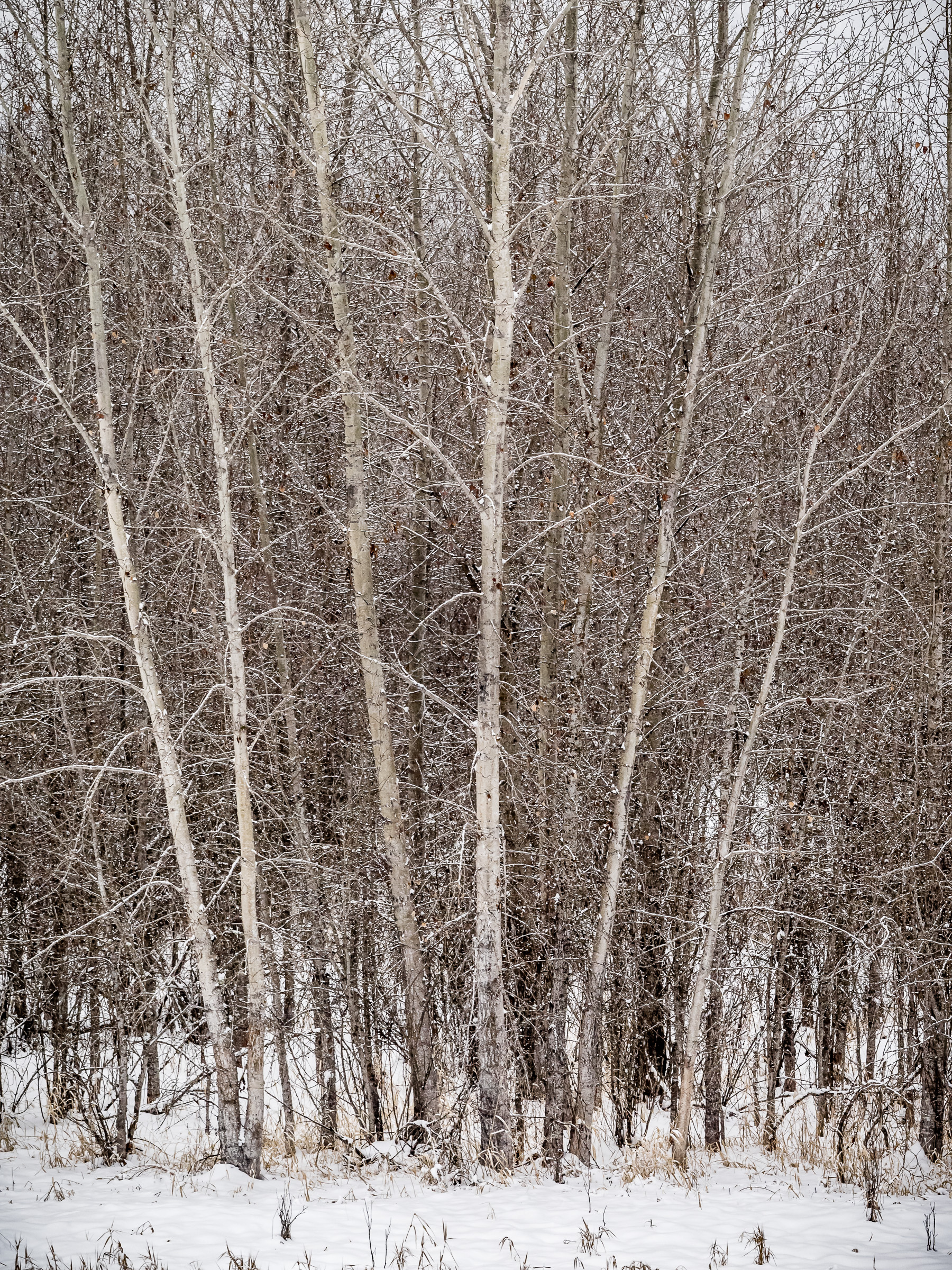
Winter Scene #1
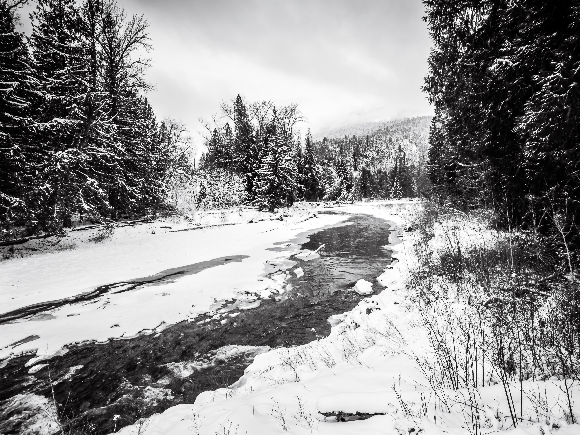
Summit Creek
Beer sweats.
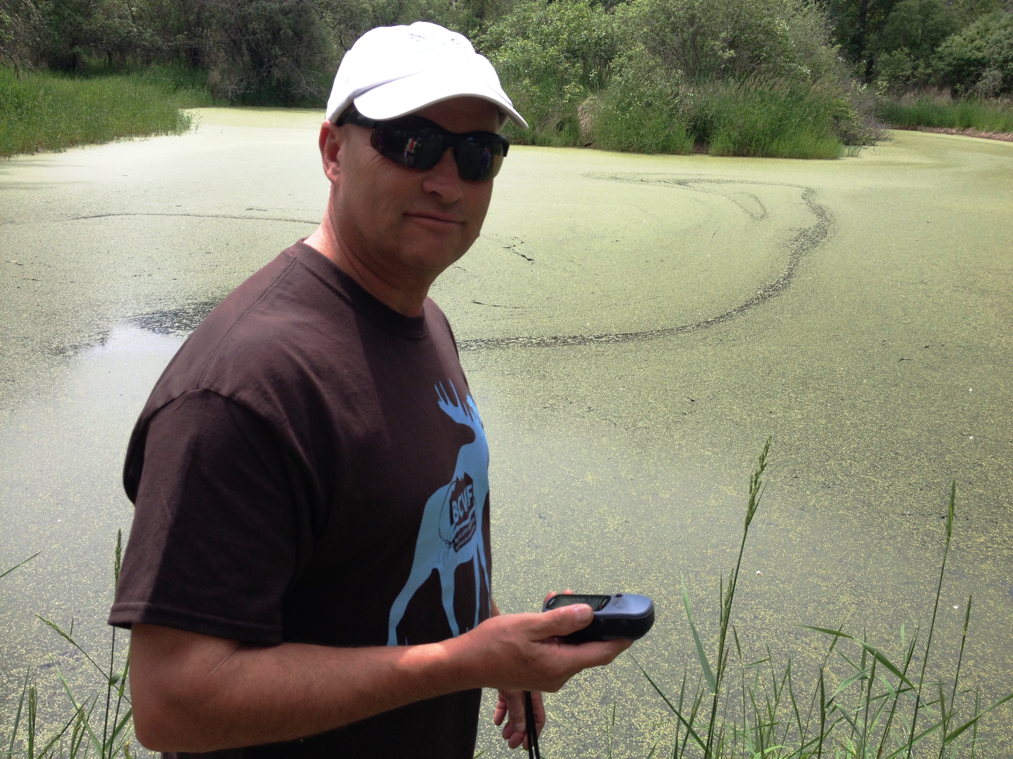
Mapping a wetland using GPS
Mapping a wetland using GPS
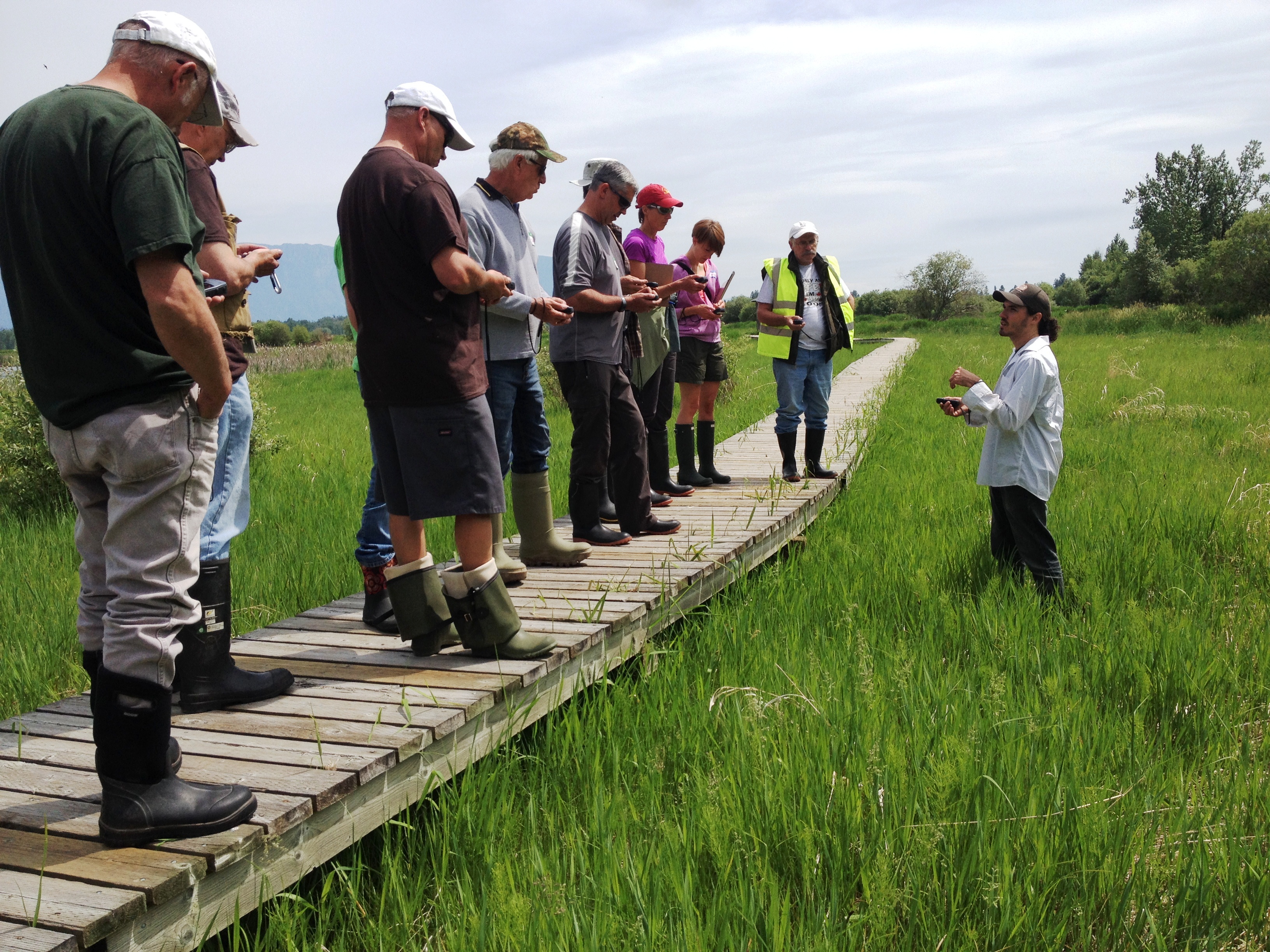
Jason teaches GPS basics in the Creston Wildlife Management Area
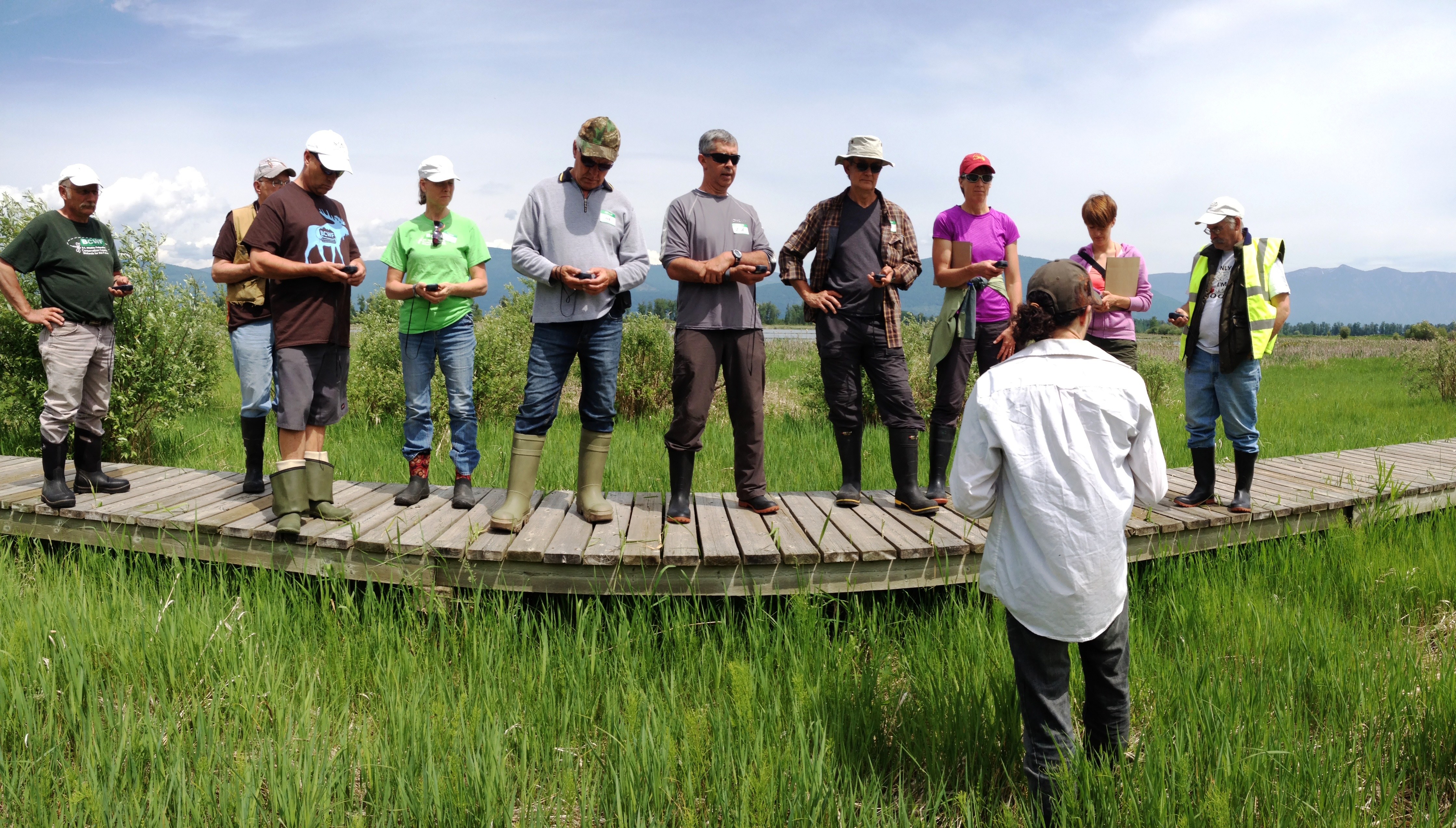
Jason teaches GPS basics in the Creston Wildlife Management Area

512449626352710383_458057120150528-13528-17oxxr0

Creston Valley Wildlife Management Area
A mountain pass rest stop on the way to #fernie #kootenaypass #kootenany

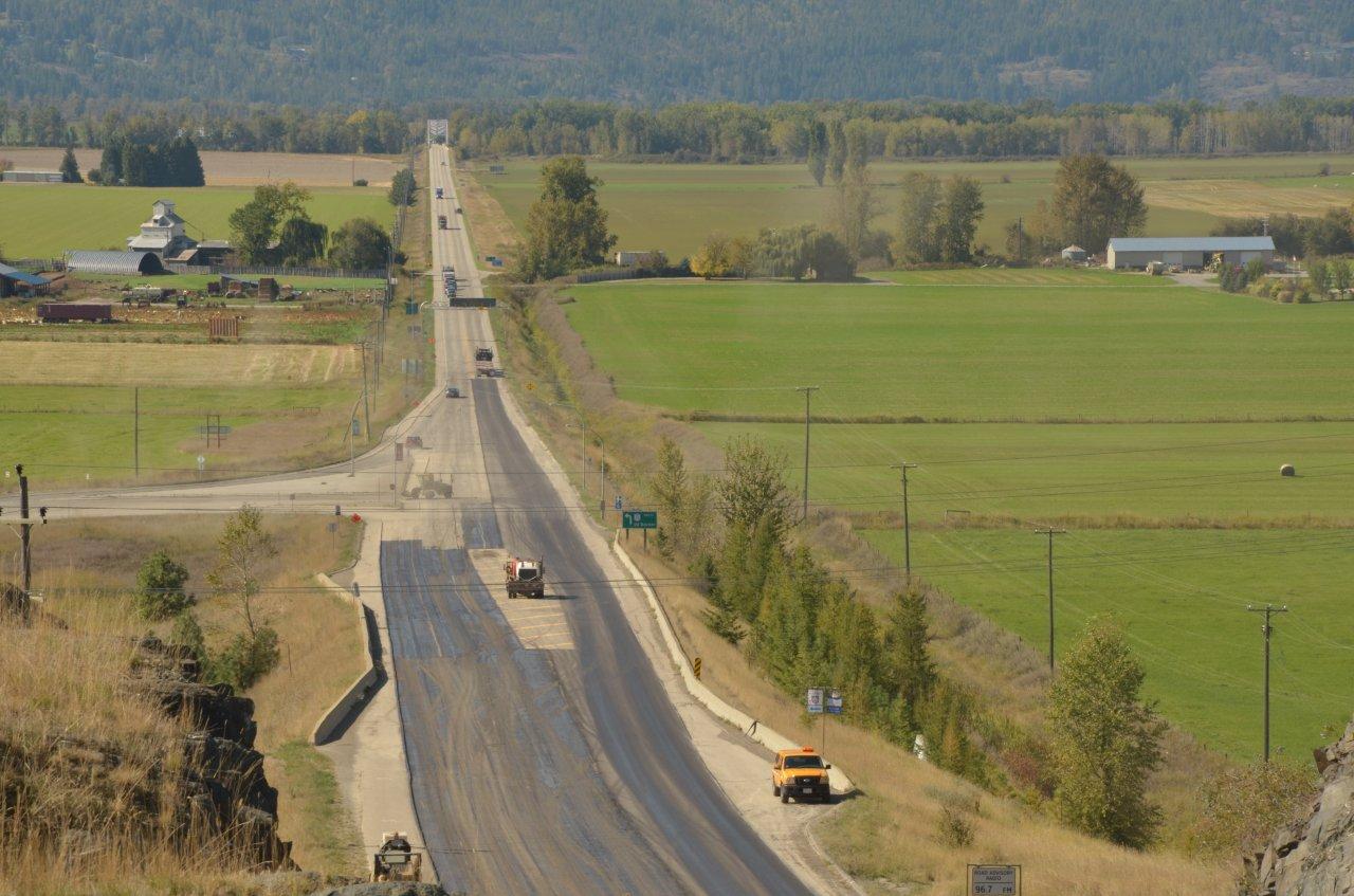
Creston Traffic

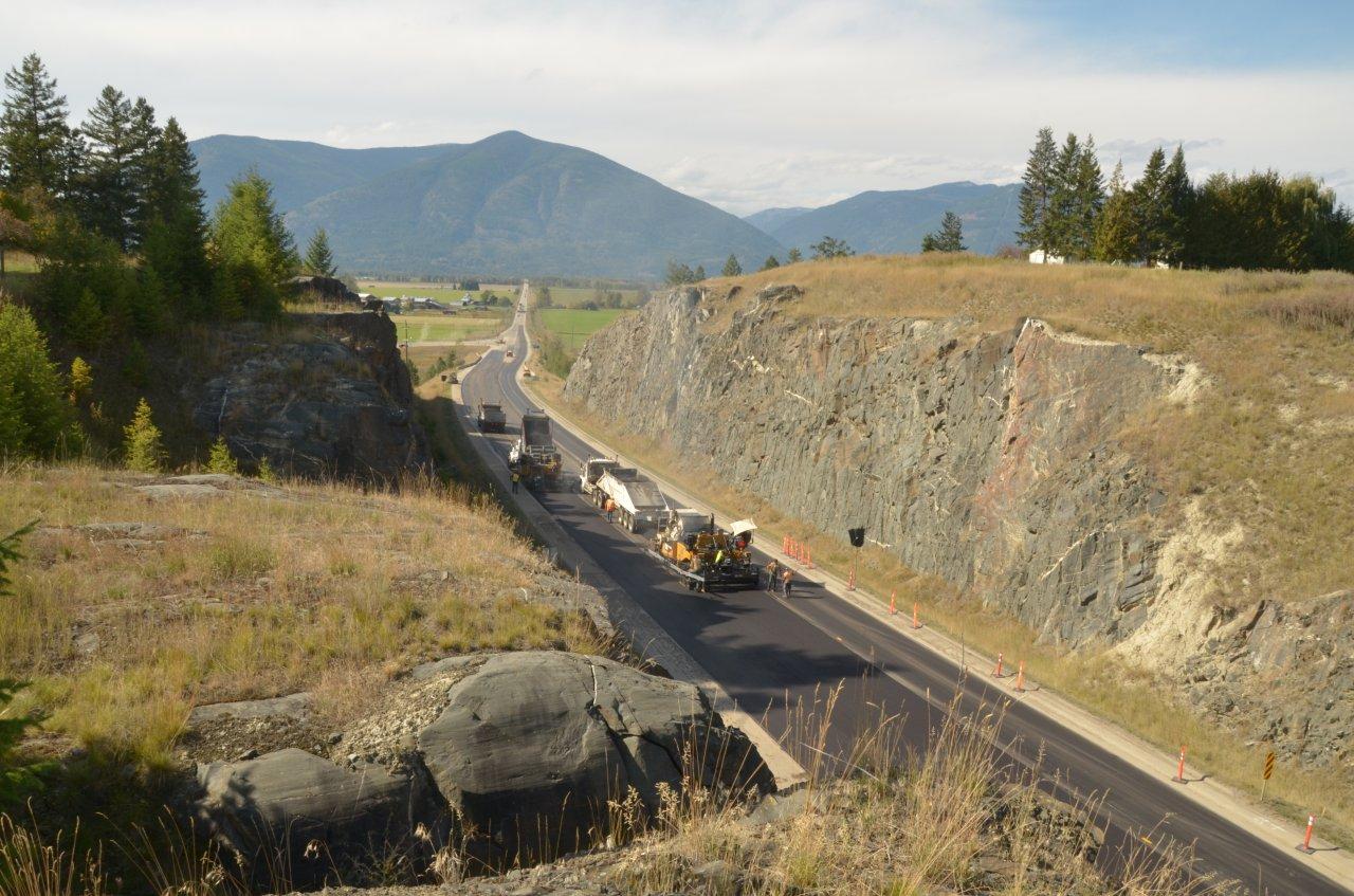
Resurfacing Highway 3 west of Creston
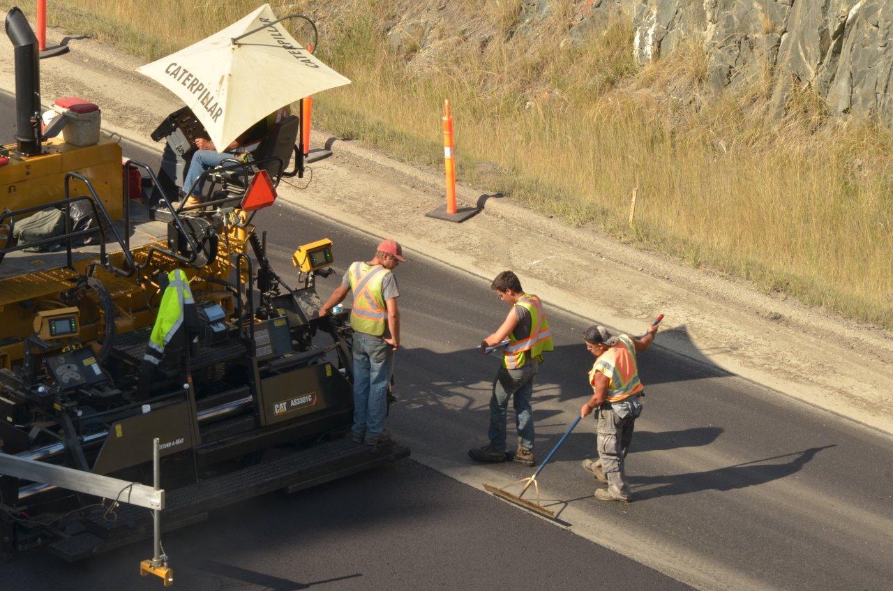
Resurfacing Highway 3 west of Creston
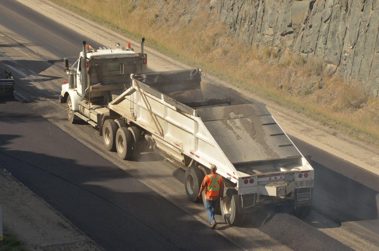
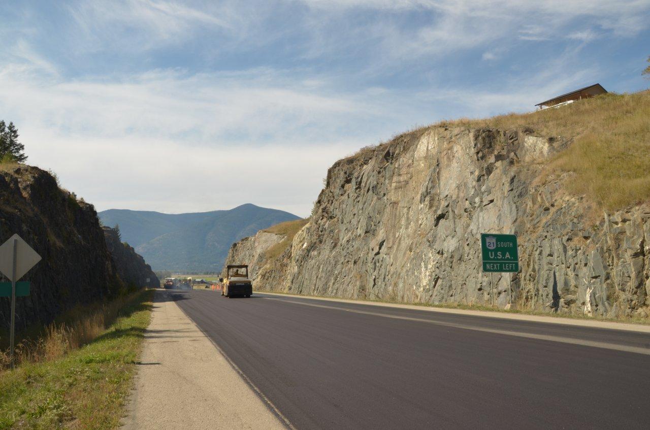
Resurfacing Highway 3 west of Creston
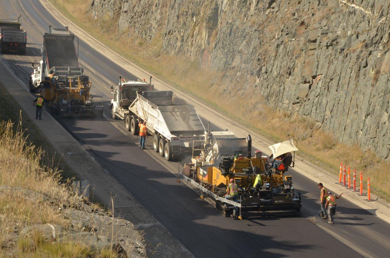
Resurfacing Highway 3 west of Creston
Resurfacing Highway 3 west of Creston
Resurfacing Highway 3 west of Creston
Resurfacing Highway 3 west of Creston
Wynndel, BC V0B, Canada Map
Search another place
Near Places
Bossio Rd, Wynndel, BC V0B 2N1, Canada
Bossio Rd, Wynndel, BC V0B 2N1, Canada
Duck Creek Rd, Wynndel, BC V0B 2N2, Canada
Bossio Rd, Wynndel, BC V0B 2N1, Canada
Elsie Holmes Rd, Arrow Creek, BC V0B 1G9, Canada
Northwest Blvd, Creston, BC V0B 1G6, Canada
Town Of Creston, 10th Ave N, Creston, BC V0B 1G0, Canada
Hillside St, Creston, BC V0B 1G4, Canada
16 Ave N, Creston, BC V0B 1G5, Canada
Creston, BC V0B, Canada
19 Ave S, Creston, BC V0B 1G5, Canada
Teetzel Rd, Creston, BC V0B 1G7, Canada
Lakeview Arrow Creek Rd, Creston, BC V0B 1G1, Canada
16 Ave S, Creston, BC V0B 1G5, Canada
36 Ave N, Creston, BC V0B 1G1, Canada
Arrow Creek, BC V0B, Canada
Erickson, BC V0B, Canada
Canyon, BC V0B, Canada
48 St, Canyon, BC V0B 1C1, Canada
Samuelson Rd, Canyon, BC V0B 1C1, Canada
Recent Searches
- Sunrise Sunset Times of Red Dog Mine, AK, USA
- Sunrise Sunset Times of Am Bahnhof, Am bhf, Borken, Germany
- Sunrise Sunset Times of 4th St E, Sonoma, CA, USA
- Sunrise Sunset Times of Oakland Ave, Williamsport, PA, USA
- Sunrise Sunset Times of Via Roma, Pieranica CR, Italy
- Sunrise Sunset Times of Clock Tower of Dubrovnik, Grad, Dubrovnik, Croatia
- Sunrise Sunset Times of Trelew, Chubut Province, Argentina
- Sunrise Sunset Times of Hartfords Bluff Cir, Mt Pleasant, SC, USA
- Sunrise Sunset Times of Kita Ward, Kumamoto, Japan
- Sunrise Sunset Times of Pingtan Island, Pingtan County, Fuzhou, China