Sunrise Sunset Times of W 5th St, Highland, CA, USA
Location: United States > California > San Bernardino County > Highland > Cypress >
Timezone:
America/Los_Angeles
Current Time:
2025-06-03 15:28:20
Longitude:
-117.212963
Latitude:
34.108465
Sunrise Today:
05:37:23 AM
Sunset Today:
07:57:17 PM
Daylength Today:
14h 19m 54s
Sunrise Tomorrow:
05:37:12 AM
Sunset Tomorrow:
07:57:49 PM
Daylength Tomorrow:
14h 20m 37s
Year Show All Dates
| Date | Sunrise | Sunset | Daylength |
|---|---|---|---|
| 01/01/2025 | 06:54:44 AM | 04:51:24 PM | 9h 56m 40s |
| 01/02/2025 | 06:54:52 AM | 04:52:11 PM | 9h 57m 19s |
| 01/03/2025 | 06:54:58 AM | 04:53:00 PM | 9h 58m 2s |
| 01/04/2025 | 06:55:03 AM | 04:53:49 PM | 9h 58m 46s |
| 01/05/2025 | 06:55:05 AM | 04:54:39 PM | 9h 59m 34s |
| 01/06/2025 | 06:55:06 AM | 04:55:29 PM | 10h 0m 23s |
| 01/07/2025 | 06:55:05 AM | 04:56:21 PM | 10h 1m 16s |
| 01/08/2025 | 06:55:02 AM | 04:57:14 PM | 10h 2m 12s |
| 01/09/2025 | 06:54:57 AM | 04:58:07 PM | 10h 3m 10s |
| 01/10/2025 | 06:54:50 AM | 04:59:01 PM | 10h 4m 11s |
| 01/11/2025 | 06:54:41 AM | 04:59:56 PM | 10h 5m 15s |
| 01/12/2025 | 06:54:31 AM | 05:00:51 PM | 10h 6m 20s |
| 01/13/2025 | 06:54:18 AM | 05:01:47 PM | 10h 7m 29s |
| 01/14/2025 | 06:54:04 AM | 05:02:43 PM | 10h 8m 39s |
| 01/15/2025 | 06:53:48 AM | 05:03:40 PM | 10h 9m 52s |
| 01/16/2025 | 06:53:30 AM | 05:04:37 PM | 10h 11m 7s |
| 01/17/2025 | 06:53:11 AM | 05:05:35 PM | 10h 12m 24s |
| 01/18/2025 | 06:52:49 AM | 05:06:33 PM | 10h 13m 44s |
| 01/19/2025 | 06:52:26 AM | 05:07:31 PM | 10h 15m 5s |
| 01/20/2025 | 06:52:01 AM | 05:08:30 PM | 10h 16m 29s |
| 01/21/2025 | 06:51:34 AM | 05:09:28 PM | 10h 17m 54s |
| 01/22/2025 | 06:51:05 AM | 05:10:27 PM | 10h 19m 22s |
| 01/23/2025 | 06:50:35 AM | 05:11:27 PM | 10h 20m 52s |
| 01/24/2025 | 06:50:03 AM | 05:12:26 PM | 10h 22m 23s |
| 01/25/2025 | 06:49:29 AM | 05:13:25 PM | 10h 23m 56s |
| 01/26/2025 | 06:48:54 AM | 05:14:25 PM | 10h 25m 31s |
| 01/27/2025 | 06:48:17 AM | 05:15:24 PM | 10h 27m 7s |
| 01/28/2025 | 06:47:38 AM | 05:16:24 PM | 10h 28m 46s |
| 01/29/2025 | 06:46:58 AM | 05:17:23 PM | 10h 30m 25s |
| 01/30/2025 | 06:46:16 AM | 05:18:22 PM | 10h 32m 6s |
| 01/31/2025 | 06:45:33 AM | 05:19:21 PM | 10h 33m 48s |
| 02/01/2025 | 06:44:48 AM | 05:20:21 PM | 10h 35m 33s |
| 02/02/2025 | 06:44:02 AM | 05:21:20 PM | 10h 37m 18s |
| 02/03/2025 | 06:43:14 AM | 05:22:18 PM | 10h 39m 4s |
| 02/04/2025 | 06:42:25 AM | 05:23:17 PM | 10h 40m 52s |
| 02/05/2025 | 06:41:34 AM | 05:24:15 PM | 10h 42m 41s |
| 02/06/2025 | 06:40:42 AM | 05:25:14 PM | 10h 44m 32s |
| 02/07/2025 | 06:39:49 AM | 05:26:12 PM | 10h 46m 23s |
| 02/08/2025 | 06:38:54 AM | 05:27:09 PM | 10h 48m 15s |
| 02/09/2025 | 06:37:58 AM | 05:28:07 PM | 10h 50m 9s |
| 02/10/2025 | 06:37:01 AM | 05:29:04 PM | 10h 52m 3s |
| 02/11/2025 | 06:36:02 AM | 05:30:01 PM | 10h 53m 59s |
| 02/12/2025 | 06:35:03 AM | 05:30:57 PM | 10h 55m 54s |
| 02/13/2025 | 06:34:02 AM | 05:31:53 PM | 10h 57m 51s |
| 02/14/2025 | 06:33:00 AM | 05:32:49 PM | 10h 59m 49s |
| 02/15/2025 | 06:31:57 AM | 05:33:45 PM | 11h 1m 48s |
| 02/16/2025 | 06:30:53 AM | 05:34:40 PM | 11h 3m 47s |
| 02/17/2025 | 06:29:48 AM | 05:35:35 PM | 11h 5m 47s |
| 02/18/2025 | 06:28:42 AM | 05:36:30 PM | 11h 7m 48s |
| 02/19/2025 | 06:27:35 AM | 05:37:24 PM | 11h 9m 49s |
| 02/20/2025 | 06:26:27 AM | 05:38:18 PM | 11h 11m 51s |
| 02/21/2025 | 06:25:18 AM | 05:39:11 PM | 11h 13m 53s |
| 02/22/2025 | 06:24:08 AM | 05:40:05 PM | 11h 15m 57s |
| 02/23/2025 | 06:22:57 AM | 05:40:57 PM | 11h 18m 0s |
| 02/24/2025 | 06:21:46 AM | 05:41:50 PM | 11h 20m 4s |
| 02/25/2025 | 06:20:33 AM | 05:42:42 PM | 11h 22m 9s |
| 02/26/2025 | 06:19:20 AM | 05:43:34 PM | 11h 24m 14s |
| 02/27/2025 | 06:18:07 AM | 05:44:25 PM | 11h 26m 18s |
| 02/28/2025 | 06:16:52 AM | 05:45:16 PM | 11h 28m 24s |
| 03/01/2025 | 06:15:37 AM | 05:46:07 PM | 11h 30m 30s |
| 03/02/2025 | 06:14:21 AM | 05:46:58 PM | 11h 32m 37s |
| 03/03/2025 | 06:13:05 AM | 05:47:48 PM | 11h 34m 43s |
| 03/04/2025 | 06:11:48 AM | 05:48:38 PM | 11h 36m 50s |
| 03/05/2025 | 06:10:30 AM | 05:49:28 PM | 11h 38m 58s |
| 03/06/2025 | 06:09:12 AM | 05:50:17 PM | 11h 41m 5s |
| 03/07/2025 | 06:07:54 AM | 05:51:06 PM | 11h 43m 12s |
| 03/08/2025 | 06:06:35 AM | 05:51:55 PM | 11h 45m 20s |
| 03/09/2025 | 07:05:19 AM | 06:52:41 PM | 11h 47m 22s |
| 03/10/2025 | 07:03:59 AM | 06:53:30 PM | 11h 49m 31s |
| 03/11/2025 | 07:02:39 AM | 06:54:18 PM | 11h 51m 39s |
| 03/12/2025 | 07:01:19 AM | 06:55:05 PM | 11h 53m 46s |
| 03/13/2025 | 06:59:58 AM | 06:55:53 PM | 11h 55m 55s |
| 03/14/2025 | 06:58:37 AM | 06:56:40 PM | 11h 58m 3s |
| 03/15/2025 | 06:57:16 AM | 06:57:28 PM | 12h 0m 12s |
| 03/16/2025 | 06:55:54 AM | 06:58:15 PM | 12h 2m 21s |
| 03/17/2025 | 06:54:32 AM | 06:59:01 PM | 12h 4m 29s |
| 03/18/2025 | 06:53:11 AM | 06:59:48 PM | 12h 6m 37s |
| 03/19/2025 | 06:51:49 AM | 07:00:35 PM | 12h 8m 46s |
| 03/20/2025 | 06:50:27 AM | 07:01:21 PM | 12h 10m 54s |
| 03/21/2025 | 06:49:04 AM | 07:02:07 PM | 12h 13m 3s |
| 03/22/2025 | 06:47:42 AM | 07:02:53 PM | 12h 15m 11s |
| 03/23/2025 | 06:46:20 AM | 07:03:39 PM | 12h 17m 19s |
| 03/24/2025 | 06:44:58 AM | 07:04:25 PM | 12h 19m 27s |
| 03/25/2025 | 06:43:36 AM | 07:05:11 PM | 12h 21m 35s |
| 03/26/2025 | 06:42:14 AM | 07:05:57 PM | 12h 23m 43s |
| 03/27/2025 | 06:40:52 AM | 07:06:43 PM | 12h 25m 51s |
| 03/28/2025 | 06:39:30 AM | 07:07:28 PM | 12h 27m 58s |
| 03/29/2025 | 06:38:09 AM | 07:08:14 PM | 12h 30m 5s |
| 03/30/2025 | 06:36:47 AM | 07:09:00 PM | 12h 32m 13s |
| 03/31/2025 | 06:35:26 AM | 07:09:45 PM | 12h 34m 19s |
| 04/01/2025 | 06:34:05 AM | 07:10:31 PM | 12h 36m 26s |
| 04/02/2025 | 06:32:45 AM | 07:11:16 PM | 12h 38m 31s |
| 04/03/2025 | 06:31:24 AM | 07:12:02 PM | 12h 40m 38s |
| 04/04/2025 | 06:30:04 AM | 07:12:48 PM | 12h 42m 44s |
| 04/05/2025 | 06:28:45 AM | 07:13:33 PM | 12h 44m 48s |
| 04/06/2025 | 06:27:25 AM | 07:14:19 PM | 12h 46m 54s |
| 04/07/2025 | 06:26:07 AM | 07:15:05 PM | 12h 48m 58s |
| 04/08/2025 | 06:24:48 AM | 07:15:50 PM | 12h 51m 2s |
| 04/09/2025 | 06:23:30 AM | 07:16:36 PM | 12h 53m 6s |
| 04/10/2025 | 06:22:13 AM | 07:17:22 PM | 12h 55m 9s |
| 04/11/2025 | 06:20:56 AM | 07:18:08 PM | 12h 57m 12s |
| 04/12/2025 | 06:19:40 AM | 07:18:54 PM | 12h 59m 14s |
| 04/13/2025 | 06:18:24 AM | 07:19:40 PM | 13h 1m 16s |
| 04/14/2025 | 06:17:09 AM | 07:20:26 PM | 13h 3m 17s |
| 04/15/2025 | 06:15:55 AM | 07:21:12 PM | 13h 5m 17s |
| 04/16/2025 | 06:14:41 AM | 07:21:58 PM | 13h 7m 17s |
| 04/17/2025 | 06:13:28 AM | 07:22:45 PM | 13h 9m 17s |
| 04/18/2025 | 06:12:16 AM | 07:23:31 PM | 13h 11m 15s |
| 04/19/2025 | 06:11:04 AM | 07:24:18 PM | 13h 13m 14s |
| 04/20/2025 | 06:09:54 AM | 07:25:04 PM | 13h 15m 10s |
| 04/21/2025 | 06:08:44 AM | 07:25:51 PM | 13h 17m 7s |
| 04/22/2025 | 06:07:35 AM | 07:26:37 PM | 13h 19m 2s |
| 04/23/2025 | 06:06:26 AM | 07:27:24 PM | 13h 20m 58s |
| 04/24/2025 | 06:05:19 AM | 07:28:11 PM | 13h 22m 52s |
| 04/25/2025 | 06:04:13 AM | 07:28:58 PM | 13h 24m 45s |
| 04/26/2025 | 06:03:08 AM | 07:29:45 PM | 13h 26m 37s |
| 04/27/2025 | 06:02:03 AM | 07:30:32 PM | 13h 28m 29s |
| 04/28/2025 | 06:01:00 AM | 07:31:19 PM | 13h 30m 19s |
| 04/29/2025 | 05:59:57 AM | 07:32:06 PM | 13h 32m 9s |
| 04/30/2025 | 05:58:56 AM | 07:32:52 PM | 13h 33m 56s |
| 05/01/2025 | 05:57:56 AM | 07:33:39 PM | 13h 35m 43s |
| 05/02/2025 | 05:56:57 AM | 07:34:26 PM | 13h 37m 29s |
| 05/03/2025 | 05:55:59 AM | 07:35:13 PM | 13h 39m 14s |
| 05/04/2025 | 05:55:02 AM | 07:36:00 PM | 13h 40m 58s |
| 05/05/2025 | 05:54:07 AM | 07:36:47 PM | 13h 42m 40s |
| 05/06/2025 | 05:53:12 AM | 07:37:33 PM | 13h 44m 21s |
| 05/07/2025 | 05:52:19 AM | 07:38:20 PM | 13h 46m 1s |
| 05/08/2025 | 05:51:28 AM | 07:39:06 PM | 13h 47m 38s |
| 05/09/2025 | 05:50:37 AM | 07:39:53 PM | 13h 49m 16s |
| 05/10/2025 | 05:49:48 AM | 07:40:39 PM | 13h 50m 51s |
| 05/11/2025 | 05:49:00 AM | 07:41:25 PM | 13h 52m 25s |
| 05/12/2025 | 05:48:13 AM | 07:42:10 PM | 13h 53m 57s |
| 05/13/2025 | 05:47:28 AM | 07:42:56 PM | 13h 55m 28s |
| 05/14/2025 | 05:46:45 AM | 07:43:41 PM | 13h 56m 56s |
| 05/15/2025 | 05:46:02 AM | 07:44:26 PM | 13h 58m 24s |
| 05/16/2025 | 05:45:21 AM | 07:45:11 PM | 13h 59m 50s |
| 05/17/2025 | 05:44:42 AM | 07:45:55 PM | 14h 1m 13s |
| 05/18/2025 | 05:44:04 AM | 07:46:39 PM | 14h 2m 35s |
| 05/19/2025 | 05:43:28 AM | 07:47:22 PM | 14h 3m 54s |
| 05/20/2025 | 05:42:53 AM | 07:48:05 PM | 14h 5m 12s |
| 05/21/2025 | 05:42:19 AM | 07:48:48 PM | 14h 6m 29s |
| 05/22/2025 | 05:41:47 AM | 07:49:30 PM | 14h 7m 43s |
| 05/23/2025 | 05:41:17 AM | 07:50:12 PM | 14h 8m 55s |
| 05/24/2025 | 05:40:48 AM | 07:50:53 PM | 14h 10m 5s |
| 05/25/2025 | 05:40:21 AM | 07:51:33 PM | 14h 11m 12s |
| 05/26/2025 | 05:39:55 AM | 07:52:13 PM | 14h 12m 18s |
| 05/27/2025 | 05:39:31 AM | 07:52:52 PM | 14h 13m 21s |
| 05/28/2025 | 05:39:08 AM | 07:53:30 PM | 14h 14m 22s |
| 05/29/2025 | 05:38:47 AM | 07:54:08 PM | 14h 15m 21s |
| 05/30/2025 | 05:38:28 AM | 07:54:45 PM | 14h 16m 17s |
| 05/31/2025 | 05:38:10 AM | 07:55:21 PM | 14h 17m 11s |
| 06/01/2025 | 05:37:54 AM | 07:55:56 PM | 14h 18m 2s |
| 06/02/2025 | 05:37:40 AM | 07:56:31 PM | 14h 18m 51s |
| 06/03/2025 | 05:37:27 AM | 07:57:04 PM | 14h 19m 37s |
| 06/04/2025 | 05:37:16 AM | 07:57:37 PM | 14h 20m 21s |
| 06/05/2025 | 05:37:06 AM | 07:58:09 PM | 14h 21m 3s |
| 06/06/2025 | 05:36:58 AM | 07:58:39 PM | 14h 21m 41s |
| 06/07/2025 | 05:36:52 AM | 07:59:09 PM | 14h 22m 17s |
| 06/08/2025 | 05:36:47 AM | 07:59:37 PM | 14h 22m 50s |
| 06/09/2025 | 05:36:43 AM | 08:00:04 PM | 14h 23m 21s |
| 06/10/2025 | 05:36:42 AM | 08:00:31 PM | 14h 23m 49s |
| 06/11/2025 | 05:36:41 AM | 08:00:56 PM | 14h 24m 15s |
| 06/12/2025 | 05:36:43 AM | 08:01:19 PM | 14h 24m 36s |
| 06/13/2025 | 05:36:46 AM | 08:01:42 PM | 14h 24m 56s |
| 06/14/2025 | 05:36:50 AM | 08:02:03 PM | 14h 25m 13s |
| 06/15/2025 | 05:36:56 AM | 08:02:23 PM | 14h 25m 27s |
| 06/16/2025 | 05:37:03 AM | 08:02:42 PM | 14h 25m 39s |
| 06/17/2025 | 05:37:12 AM | 08:02:59 PM | 14h 25m 47s |
| 06/18/2025 | 05:37:22 AM | 08:03:15 PM | 14h 25m 53s |
| 06/19/2025 | 05:37:34 AM | 08:03:29 PM | 14h 25m 55s |
| 06/20/2025 | 05:37:47 AM | 08:03:43 PM | 14h 25m 56s |
| 06/21/2025 | 05:38:02 AM | 08:03:54 PM | 14h 25m 52s |
| 06/22/2025 | 05:38:18 AM | 08:04:04 PM | 14h 25m 46s |
| 06/23/2025 | 05:38:35 AM | 08:04:13 PM | 14h 25m 38s |
| 06/24/2025 | 05:38:53 AM | 08:04:20 PM | 14h 25m 27s |
| 06/25/2025 | 05:39:13 AM | 08:04:25 PM | 14h 25m 12s |
| 06/26/2025 | 05:39:34 AM | 08:04:29 PM | 14h 24m 55s |
| 06/27/2025 | 05:39:56 AM | 08:04:32 PM | 14h 24m 36s |
| 06/28/2025 | 05:40:19 AM | 08:04:33 PM | 14h 24m 14s |
| 06/29/2025 | 05:40:43 AM | 08:04:32 PM | 14h 23m 49s |
| 06/30/2025 | 05:41:09 AM | 08:04:29 PM | 14h 23m 20s |
| 07/01/2025 | 05:41:36 AM | 08:04:25 PM | 14h 22m 49s |
| 07/02/2025 | 05:42:03 AM | 08:04:20 PM | 14h 22m 17s |
| 07/03/2025 | 05:42:32 AM | 08:04:13 PM | 14h 21m 41s |
| 07/04/2025 | 05:43:01 AM | 08:04:04 PM | 14h 21m 3s |
| 07/05/2025 | 05:43:32 AM | 08:03:53 PM | 14h 20m 21s |
| 07/06/2025 | 05:44:04 AM | 08:03:41 PM | 14h 19m 37s |
| 07/07/2025 | 05:44:36 AM | 08:03:27 PM | 14h 18m 51s |
| 07/08/2025 | 05:45:09 AM | 08:03:12 PM | 14h 18m 3s |
| 07/09/2025 | 05:45:43 AM | 08:02:54 PM | 14h 17m 11s |
| 07/10/2025 | 05:46:18 AM | 08:02:36 PM | 14h 16m 18s |
| 07/11/2025 | 05:46:53 AM | 08:02:15 PM | 14h 15m 22s |
| 07/12/2025 | 05:47:29 AM | 08:01:53 PM | 14h 14m 24s |
| 07/13/2025 | 05:48:06 AM | 08:01:29 PM | 14h 13m 23s |
| 07/14/2025 | 05:48:44 AM | 08:01:04 PM | 14h 12m 20s |
| 07/15/2025 | 05:49:22 AM | 08:00:37 PM | 14h 11m 15s |
| 07/16/2025 | 05:50:00 AM | 08:00:09 PM | 14h 10m 9s |
| 07/17/2025 | 05:50:39 AM | 07:59:38 PM | 14h 8m 59s |
| 07/18/2025 | 05:51:19 AM | 07:59:07 PM | 14h 7m 48s |
| 07/19/2025 | 05:51:59 AM | 07:58:33 PM | 14h 6m 34s |
| 07/20/2025 | 05:52:39 AM | 07:57:58 PM | 14h 5m 19s |
| 07/21/2025 | 05:53:20 AM | 07:57:22 PM | 14h 4m 2s |
| 07/22/2025 | 05:54:01 AM | 07:56:44 PM | 14h 2m 43s |
| 07/23/2025 | 05:54:43 AM | 07:56:05 PM | 14h 1m 22s |
| 07/24/2025 | 05:55:25 AM | 07:55:24 PM | 13h 59m 59s |
| 07/25/2025 | 05:56:07 AM | 07:54:41 PM | 13h 58m 34s |
| 07/26/2025 | 05:56:49 AM | 07:53:58 PM | 13h 57m 9s |
| 07/27/2025 | 05:57:32 AM | 07:53:12 PM | 13h 55m 40s |
| 07/28/2025 | 05:58:15 AM | 07:52:26 PM | 13h 54m 11s |
| 07/29/2025 | 05:58:58 AM | 07:51:37 PM | 13h 52m 39s |
| 07/30/2025 | 05:59:41 AM | 07:50:48 PM | 13h 51m 7s |
| 07/31/2025 | 06:00:25 AM | 07:49:57 PM | 13h 49m 32s |
| 08/01/2025 | 06:01:08 AM | 07:49:05 PM | 13h 47m 57s |
| 08/02/2025 | 06:01:51 AM | 07:48:12 PM | 13h 46m 21s |
| 08/03/2025 | 06:02:35 AM | 07:47:17 PM | 13h 44m 42s |
| 08/04/2025 | 06:03:19 AM | 07:46:21 PM | 13h 43m 2s |
| 08/05/2025 | 06:04:02 AM | 07:45:24 PM | 13h 41m 22s |
| 08/06/2025 | 06:04:46 AM | 07:44:25 PM | 13h 39m 39s |
| 08/07/2025 | 06:05:30 AM | 07:43:26 PM | 13h 37m 56s |
| 08/08/2025 | 06:06:13 AM | 07:42:25 PM | 13h 36m 12s |
| 08/09/2025 | 06:06:57 AM | 07:41:23 PM | 13h 34m 26s |
| 08/10/2025 | 06:07:41 AM | 07:40:20 PM | 13h 32m 39s |
| 08/11/2025 | 06:08:24 AM | 07:39:16 PM | 13h 30m 52s |
| 08/12/2025 | 06:09:08 AM | 07:38:11 PM | 13h 29m 3s |
| 08/13/2025 | 06:09:51 AM | 07:37:05 PM | 13h 27m 14s |
| 08/14/2025 | 06:10:35 AM | 07:35:58 PM | 13h 25m 23s |
| 08/15/2025 | 06:11:18 AM | 07:34:49 PM | 13h 23m 31s |
| 08/16/2025 | 06:12:01 AM | 07:33:40 PM | 13h 21m 39s |
| 08/17/2025 | 06:12:45 AM | 07:32:30 PM | 13h 19m 45s |
| 08/18/2025 | 06:13:28 AM | 07:31:19 PM | 13h 17m 51s |
| 08/19/2025 | 06:14:11 AM | 07:30:08 PM | 13h 15m 57s |
| 08/20/2025 | 06:14:53 AM | 07:28:55 PM | 13h 14m 2s |
| 08/21/2025 | 06:15:36 AM | 07:27:42 PM | 13h 12m 6s |
| 08/22/2025 | 06:16:19 AM | 07:26:28 PM | 13h 10m 9s |
| 08/23/2025 | 06:17:01 AM | 07:25:13 PM | 13h 8m 12s |
| 08/24/2025 | 06:17:44 AM | 07:23:57 PM | 13h 6m 13s |
| 08/25/2025 | 06:18:26 AM | 07:22:41 PM | 13h 4m 15s |
| 08/26/2025 | 06:19:08 AM | 07:21:24 PM | 13h 2m 16s |
| 08/27/2025 | 06:19:50 AM | 07:20:06 PM | 13h 0m 16s |
| 08/28/2025 | 06:20:32 AM | 07:18:48 PM | 12h 58m 16s |
| 08/29/2025 | 06:21:14 AM | 07:17:29 PM | 12h 56m 15s |
| 08/30/2025 | 06:21:56 AM | 07:16:10 PM | 12h 54m 14s |
| 08/31/2025 | 06:22:38 AM | 07:14:50 PM | 12h 52m 12s |
| 09/01/2025 | 06:23:20 AM | 07:13:30 PM | 12h 50m 10s |
| 09/02/2025 | 06:24:01 AM | 07:12:09 PM | 12h 48m 8s |
| 09/03/2025 | 06:24:43 AM | 07:10:47 PM | 12h 46m 4s |
| 09/04/2025 | 06:25:24 AM | 07:09:26 PM | 12h 44m 2s |
| 09/05/2025 | 06:26:06 AM | 07:08:04 PM | 12h 41m 58s |
| 09/06/2025 | 06:26:47 AM | 07:06:41 PM | 12h 39m 54s |
| 09/07/2025 | 06:27:29 AM | 07:05:18 PM | 12h 37m 49s |
| 09/08/2025 | 06:28:10 AM | 07:03:55 PM | 12h 35m 45s |
| 09/09/2025 | 06:28:51 AM | 07:02:32 PM | 12h 33m 41s |
| 09/10/2025 | 06:29:33 AM | 07:01:08 PM | 12h 31m 35s |
| 09/11/2025 | 06:30:14 AM | 06:59:45 PM | 12h 29m 31s |
| 09/12/2025 | 06:30:55 AM | 06:58:21 PM | 12h 27m 26s |
| 09/13/2025 | 06:31:37 AM | 06:56:56 PM | 12h 25m 19s |
| 09/14/2025 | 06:32:18 AM | 06:55:32 PM | 12h 23m 14s |
| 09/15/2025 | 06:33:00 AM | 06:54:08 PM | 12h 21m 8s |
| 09/16/2025 | 06:33:41 AM | 06:52:43 PM | 12h 19m 2s |
| 09/17/2025 | 06:34:23 AM | 06:51:19 PM | 12h 16m 56s |
| 09/18/2025 | 06:35:05 AM | 06:49:54 PM | 12h 14m 49s |
| 09/19/2025 | 06:35:46 AM | 06:48:30 PM | 12h 12m 44s |
| 09/20/2025 | 06:36:28 AM | 06:47:05 PM | 12h 10m 37s |
| 09/21/2025 | 06:37:10 AM | 06:45:41 PM | 12h 8m 31s |
| 09/22/2025 | 06:37:53 AM | 06:44:17 PM | 12h 6m 24s |
| 09/23/2025 | 06:38:35 AM | 06:42:52 PM | 12h 4m 17s |
| 09/24/2025 | 06:39:17 AM | 06:41:28 PM | 12h 2m 11s |
| 09/25/2025 | 06:40:00 AM | 06:40:05 PM | 12h 0m 5s |
| 09/26/2025 | 06:40:43 AM | 06:38:41 PM | 11h 57m 58s |
| 09/27/2025 | 06:41:26 AM | 06:37:18 PM | 11h 55m 52s |
| 09/28/2025 | 06:42:09 AM | 06:35:54 PM | 11h 53m 45s |
| 09/29/2025 | 06:42:53 AM | 06:34:32 PM | 11h 51m 39s |
| 09/30/2025 | 06:43:36 AM | 06:33:09 PM | 11h 49m 33s |
| 10/01/2025 | 06:44:20 AM | 06:31:47 PM | 11h 47m 27s |
| 10/02/2025 | 06:45:05 AM | 06:30:25 PM | 11h 45m 20s |
| 10/03/2025 | 06:45:49 AM | 06:29:04 PM | 11h 43m 15s |
| 10/04/2025 | 06:46:34 AM | 06:27:43 PM | 11h 41m 9s |
| 10/05/2025 | 06:47:19 AM | 06:26:23 PM | 11h 39m 4s |
| 10/06/2025 | 06:48:04 AM | 06:25:03 PM | 11h 36m 59s |
| 10/07/2025 | 06:48:50 AM | 06:23:43 PM | 11h 34m 53s |
| 10/08/2025 | 06:49:36 AM | 06:22:25 PM | 11h 32m 49s |
| 10/09/2025 | 06:50:22 AM | 06:21:06 PM | 11h 30m 44s |
| 10/10/2025 | 06:51:09 AM | 06:19:49 PM | 11h 28m 40s |
| 10/11/2025 | 06:51:56 AM | 06:18:32 PM | 11h 26m 36s |
| 10/12/2025 | 06:52:43 AM | 06:17:16 PM | 11h 24m 33s |
| 10/13/2025 | 06:53:31 AM | 06:16:00 PM | 11h 22m 29s |
| 10/14/2025 | 06:54:19 AM | 06:14:45 PM | 11h 20m 26s |
| 10/15/2025 | 06:55:07 AM | 06:13:31 PM | 11h 18m 24s |
| 10/16/2025 | 06:55:56 AM | 06:12:18 PM | 11h 16m 22s |
| 10/17/2025 | 06:56:45 AM | 06:11:06 PM | 11h 14m 21s |
| 10/18/2025 | 06:57:34 AM | 06:09:55 PM | 11h 12m 21s |
| 10/19/2025 | 06:58:24 AM | 06:08:44 PM | 11h 10m 20s |
| 10/20/2025 | 06:59:15 AM | 06:07:34 PM | 11h 8m 19s |
| 10/21/2025 | 07:00:05 AM | 06:06:26 PM | 11h 6m 21s |
| 10/22/2025 | 07:00:56 AM | 06:05:18 PM | 11h 4m 22s |
| 10/23/2025 | 07:01:47 AM | 06:04:11 PM | 11h 2m 24s |
| 10/24/2025 | 07:02:39 AM | 06:03:06 PM | 11h 0m 27s |
| 10/25/2025 | 07:03:31 AM | 06:02:01 PM | 10h 58m 30s |
| 10/26/2025 | 07:04:24 AM | 06:00:58 PM | 10h 56m 34s |
| 10/27/2025 | 07:05:16 AM | 05:59:56 PM | 10h 54m 40s |
| 10/28/2025 | 07:06:10 AM | 05:58:55 PM | 10h 52m 45s |
| 10/29/2025 | 07:07:03 AM | 05:57:55 PM | 10h 50m 52s |
| 10/30/2025 | 07:07:57 AM | 05:56:56 PM | 10h 48m 59s |
| 10/31/2025 | 07:08:51 AM | 05:55:59 PM | 10h 47m 8s |
| 11/01/2025 | 07:09:45 AM | 05:55:03 PM | 10h 45m 18s |
| 11/02/2025 | 06:10:42 AM | 04:54:06 PM | 10h 43m 24s |
| 11/03/2025 | 06:11:37 AM | 04:53:13 PM | 10h 41m 36s |
| 11/04/2025 | 06:12:33 AM | 04:52:21 PM | 10h 39m 48s |
| 11/05/2025 | 06:13:28 AM | 04:51:31 PM | 10h 38m 3s |
| 11/06/2025 | 06:14:24 AM | 04:50:42 PM | 10h 36m 18s |
| 11/07/2025 | 06:15:20 AM | 04:49:54 PM | 10h 34m 34s |
| 11/08/2025 | 06:16:16 AM | 04:49:08 PM | 10h 32m 52s |
| 11/09/2025 | 06:17:12 AM | 04:48:24 PM | 10h 31m 12s |
| 11/10/2025 | 06:18:08 AM | 04:47:41 PM | 10h 29m 33s |
| 11/11/2025 | 06:19:05 AM | 04:46:59 PM | 10h 27m 54s |
| 11/12/2025 | 06:20:02 AM | 04:46:20 PM | 10h 26m 18s |
| 11/13/2025 | 06:20:58 AM | 04:45:42 PM | 10h 24m 44s |
| 11/14/2025 | 06:21:55 AM | 04:45:05 PM | 10h 23m 10s |
| 11/15/2025 | 06:22:52 AM | 04:44:30 PM | 10h 21m 38s |
| 11/16/2025 | 06:23:48 AM | 04:43:57 PM | 10h 20m 9s |
| 11/17/2025 | 06:24:45 AM | 04:43:26 PM | 10h 18m 41s |
| 11/18/2025 | 06:25:41 AM | 04:42:57 PM | 10h 17m 16s |
| 11/19/2025 | 06:26:38 AM | 04:42:29 PM | 10h 15m 51s |
| 11/20/2025 | 06:27:34 AM | 04:42:03 PM | 10h 14m 29s |
| 11/21/2025 | 06:28:30 AM | 04:41:39 PM | 10h 13m 9s |
| 11/22/2025 | 06:29:25 AM | 04:41:16 PM | 10h 11m 51s |
| 11/23/2025 | 06:30:21 AM | 04:40:56 PM | 10h 10m 35s |
| 11/24/2025 | 06:31:16 AM | 04:40:37 PM | 10h 9m 21s |
| 11/25/2025 | 06:32:11 AM | 04:40:21 PM | 10h 8m 10s |
| 11/26/2025 | 06:33:05 AM | 04:40:06 PM | 10h 7m 1s |
| 11/27/2025 | 06:33:59 AM | 04:39:53 PM | 10h 5m 54s |
| 11/28/2025 | 06:34:52 AM | 04:39:41 PM | 10h 4m 49s |
| 11/29/2025 | 06:35:45 AM | 04:39:32 PM | 10h 3m 47s |
| 11/30/2025 | 06:36:37 AM | 04:39:25 PM | 10h 2m 48s |
| 12/01/2025 | 06:37:28 AM | 04:39:20 PM | 10h 1m 52s |
| 12/02/2025 | 06:38:19 AM | 04:39:16 PM | 10h 0m 57s |
| 12/03/2025 | 06:39:09 AM | 04:39:14 PM | 10h 0m 5s |
| 12/04/2025 | 06:39:59 AM | 04:39:15 PM | 9h 59m 16s |
| 12/05/2025 | 06:40:47 AM | 04:39:17 PM | 9h 58m 30s |
| 12/06/2025 | 06:41:35 AM | 04:39:21 PM | 9h 57m 46s |
| 12/07/2025 | 06:42:21 AM | 04:39:27 PM | 9h 57m 6s |
| 12/08/2025 | 06:43:07 AM | 04:39:35 PM | 9h 56m 28s |
| 12/09/2025 | 06:43:52 AM | 04:39:45 PM | 9h 55m 53s |
| 12/10/2025 | 06:44:35 AM | 04:39:56 PM | 9h 55m 21s |
| 12/11/2025 | 06:45:18 AM | 04:40:10 PM | 9h 54m 52s |
| 12/12/2025 | 06:45:59 AM | 04:40:25 PM | 9h 54m 26s |
| 12/13/2025 | 06:46:39 AM | 04:40:42 PM | 9h 54m 3s |
| 12/14/2025 | 06:47:18 AM | 04:41:01 PM | 9h 53m 43s |
| 12/15/2025 | 06:47:56 AM | 04:41:22 PM | 9h 53m 26s |
| 12/16/2025 | 06:48:32 AM | 04:41:44 PM | 9h 53m 12s |
| 12/17/2025 | 06:49:07 AM | 04:42:08 PM | 9h 53m 1s |
| 12/18/2025 | 06:49:40 AM | 04:42:34 PM | 9h 52m 54s |
| 12/19/2025 | 06:50:12 AM | 04:43:02 PM | 9h 52m 50s |
| 12/20/2025 | 06:50:43 AM | 04:43:31 PM | 9h 52m 48s |
| 12/21/2025 | 06:51:12 AM | 04:44:01 PM | 9h 52m 49s |
| 12/22/2025 | 06:51:39 AM | 04:44:34 PM | 9h 52m 55s |
| 12/23/2025 | 06:52:05 AM | 04:45:07 PM | 9h 53m 2s |
| 12/24/2025 | 06:52:29 AM | 04:45:43 PM | 9h 53m 14s |
| 12/25/2025 | 06:52:52 AM | 04:46:19 PM | 9h 53m 27s |
| 12/26/2025 | 06:53:13 AM | 04:46:57 PM | 9h 53m 44s |
| 12/27/2025 | 06:53:32 AM | 04:47:37 PM | 9h 54m 5s |
| 12/28/2025 | 06:53:49 AM | 04:48:18 PM | 9h 54m 29s |
| 12/29/2025 | 06:54:05 AM | 04:49:00 PM | 9h 54m 55s |
| 12/30/2025 | 06:54:19 AM | 04:49:43 PM | 9h 55m 24s |
| 12/31/2025 | 06:54:31 AM | 04:50:27 PM | 9h 55m 56s |
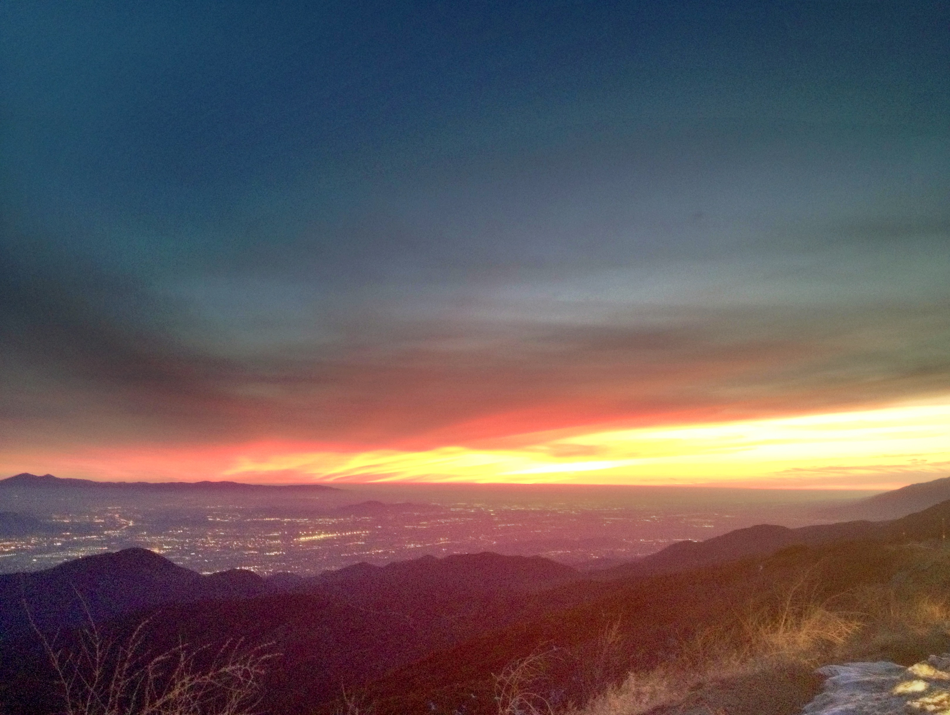
Sunrise & Sunset Photos
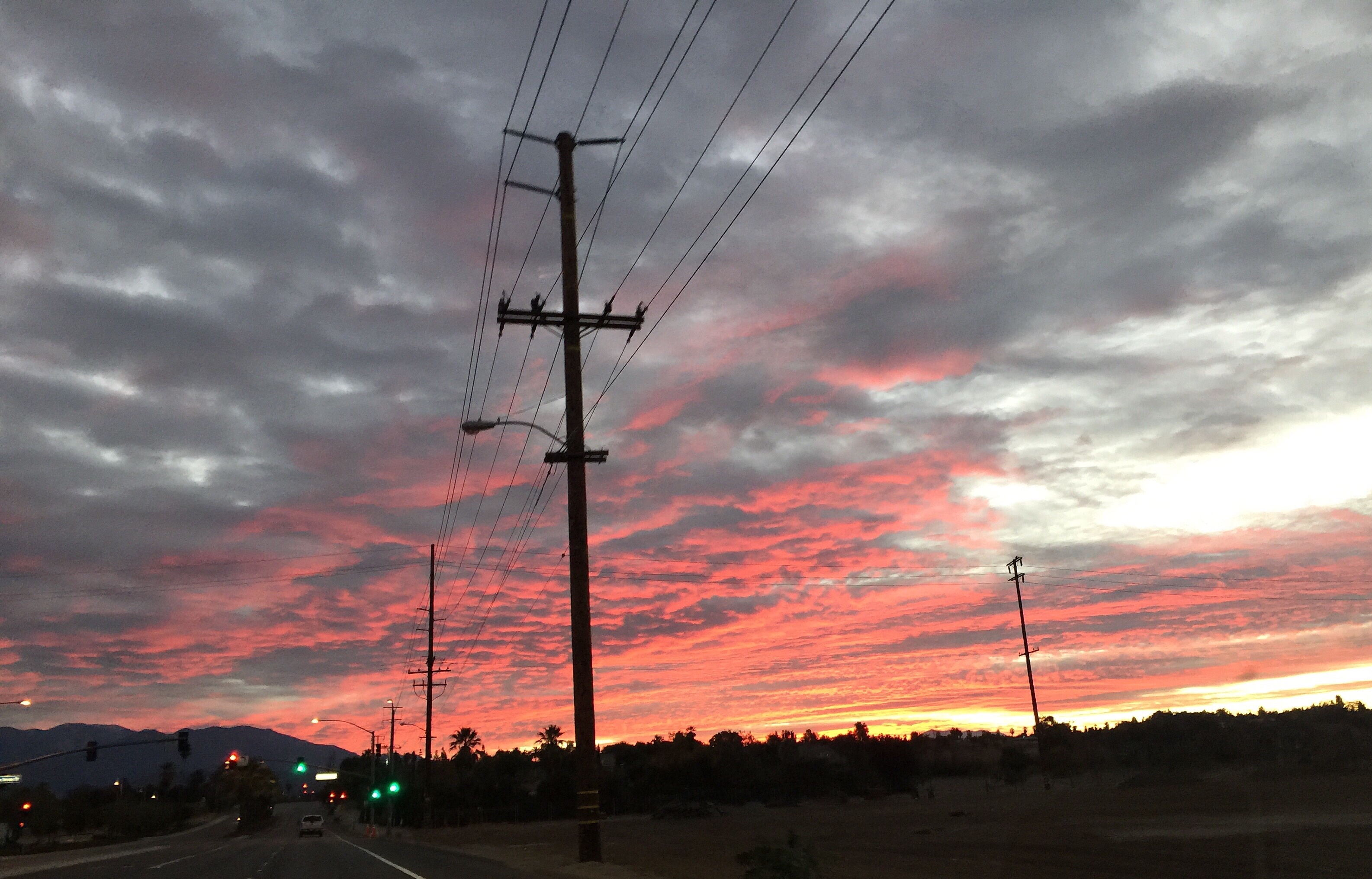
After Glow from Pepper Ave. [Explored]
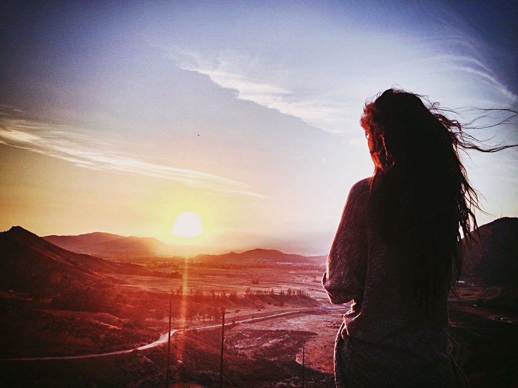
My gf watching the sunset.
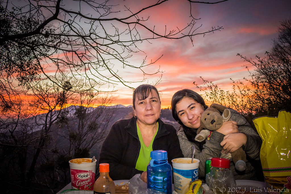
Eating at the Mountains:D

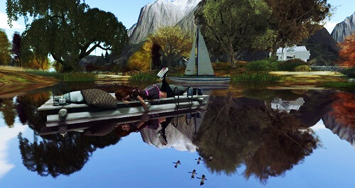
Islands in the Mist

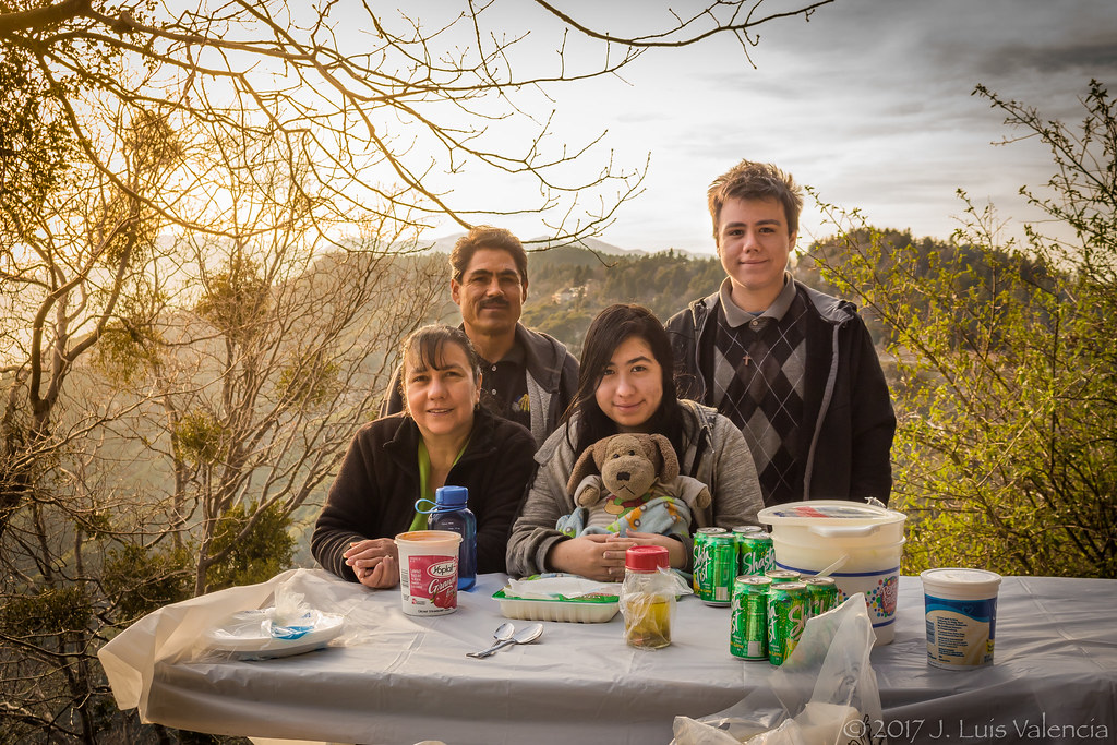
Eating at the Mountains:D
Eating at the Mountains:D
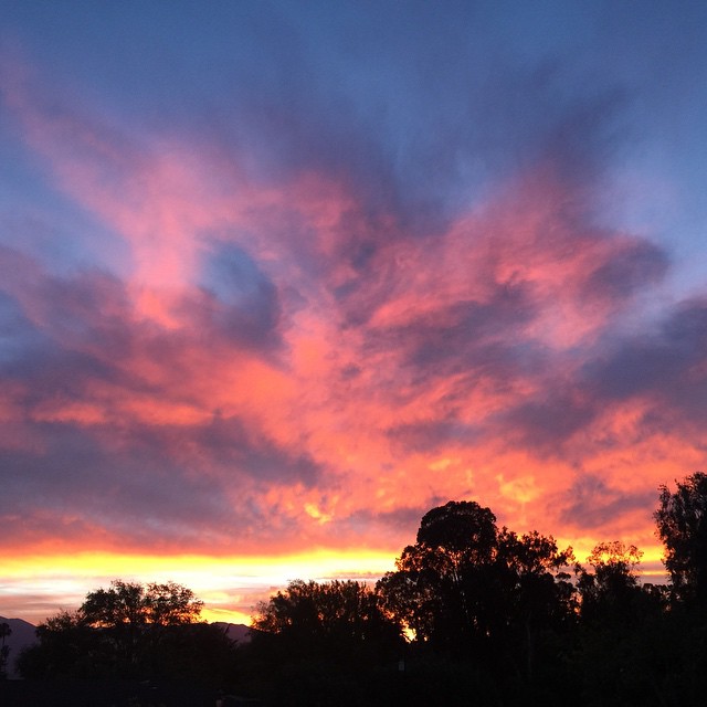
Sunset Silhouette

San Berd Sunset
Sunsets are beautiful
Rim of the World High

Rim of the World Highway

taste the colors.
Redlands Bowl Sunset!

Sunset at Rim of the World

Such a lovely sunset. #vscocam

Eating at the Mountains:D
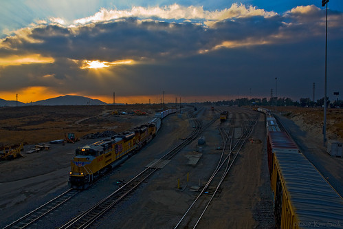
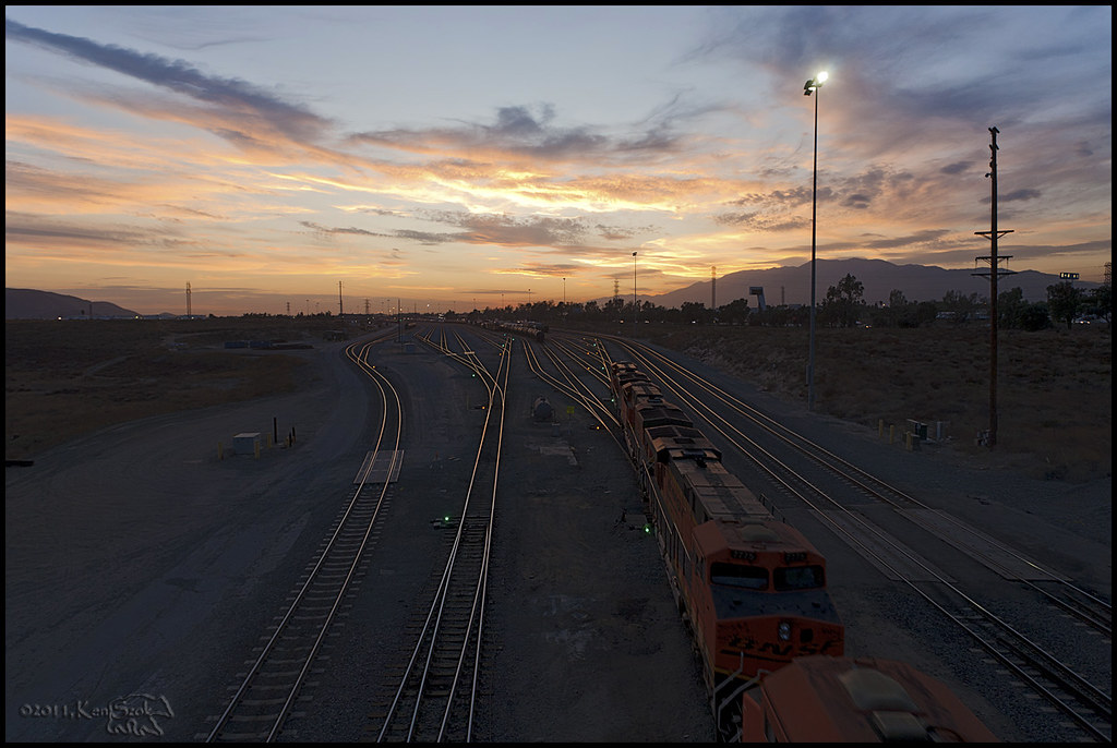
Local Departing at Sunset

Eating at the Mountains:D

Thanksgiving Sunset HDR
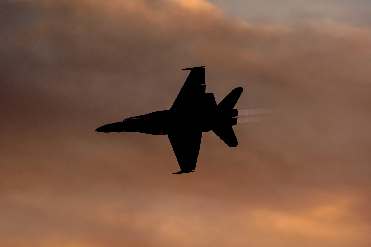
CF-18 Hornet
"Just #go." #saturday #goodmorning #runningsprings

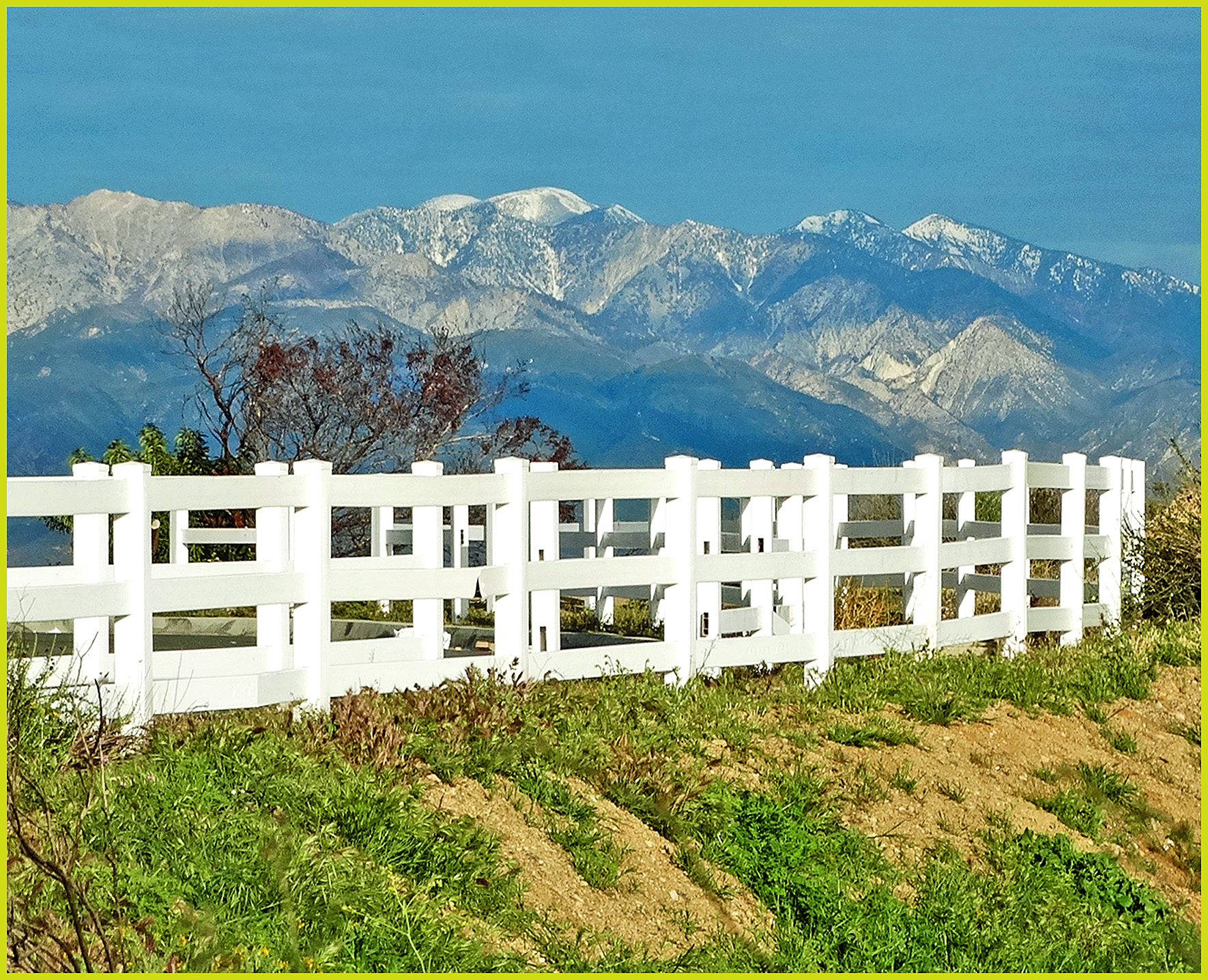
Redlands, CA
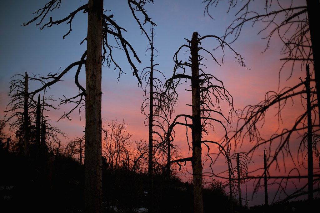
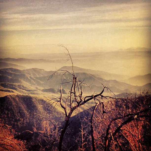
eerie trees
Urban Sunrise

Above it all
Mt. Baldy from Panorama Pt 3-9-14f
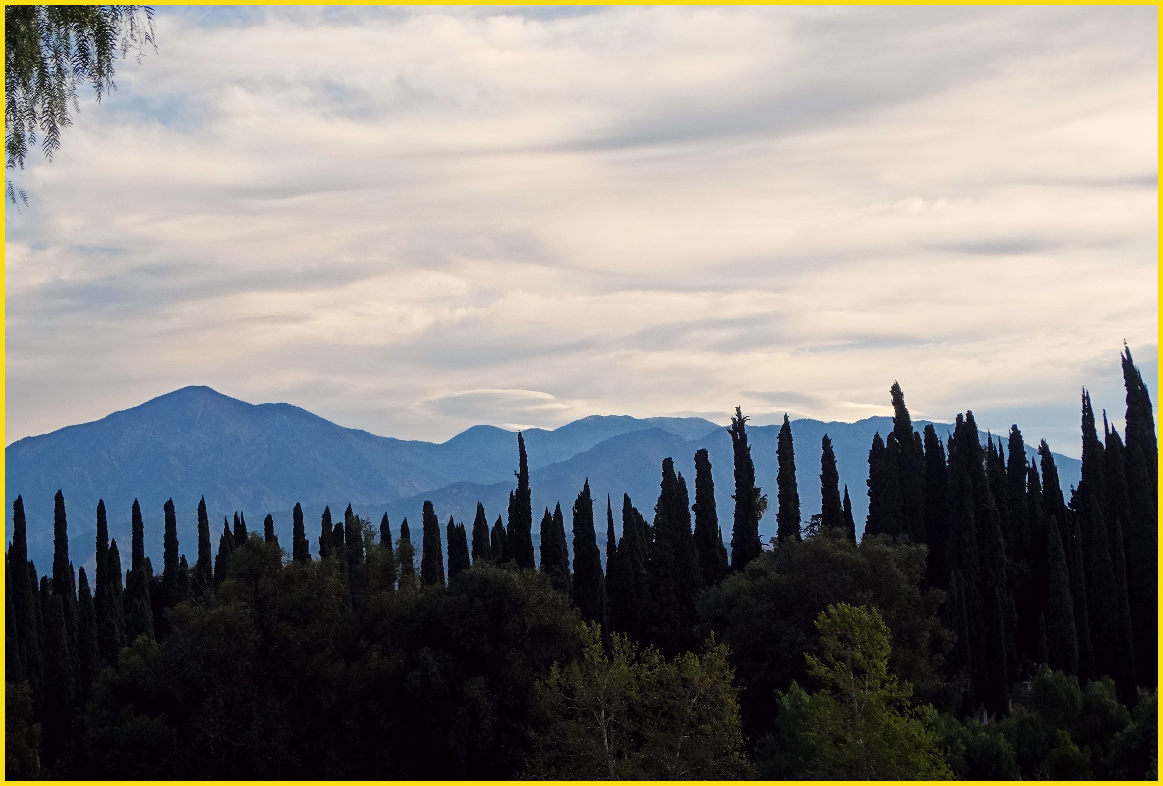
Clouds Over Mountains 2-16-14

Social Gathering, Ford Park, Redlands, CA 8-12
Morning Sun, Oakmont Park 6-16-13

Saturday's #sunrise at the summit of Mt. San Jacinto, near Palm Springs, Southern California's second-highest peak at 10,834 feet. We took the easiest route, 11-miles round trip from the aerial tramway station at 8,500 feet, starting at 3am from Round Val
Another Teqilla Sunrise
Spectacular Sunrise #Redlands #NoFilter

Live Oak Farms, Wagon 12-9-12

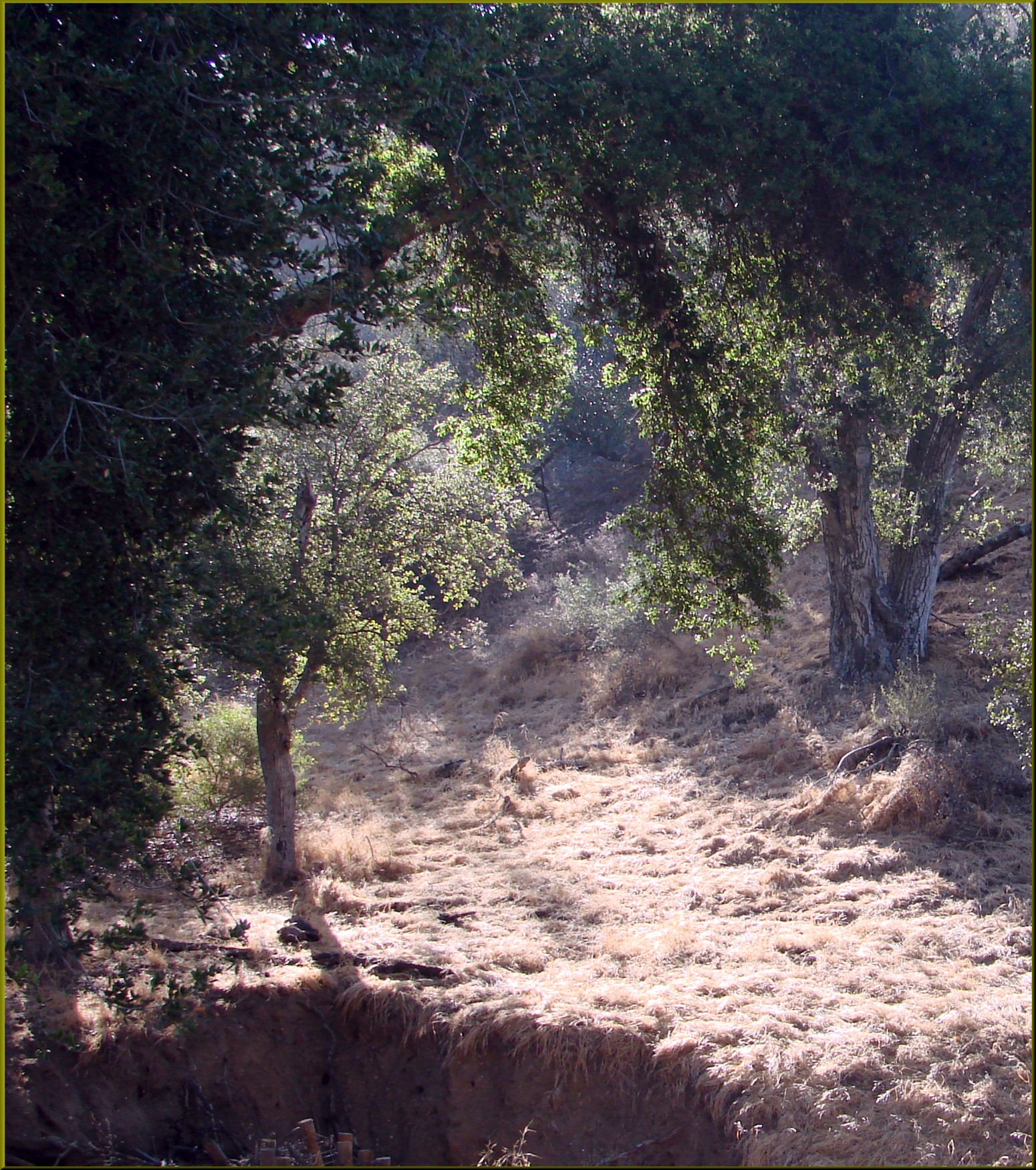
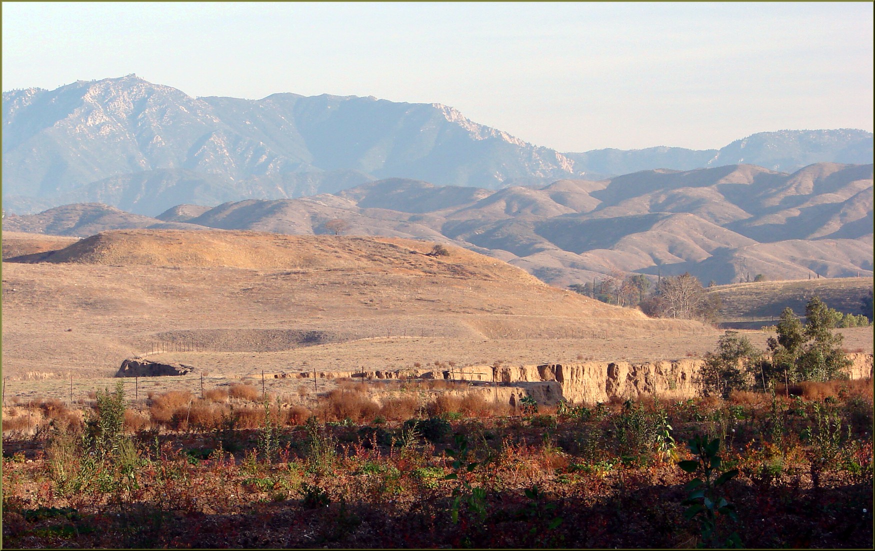
Wildflower Trail, Live Oak Canyon 6-16-13

San Bernardino Sunrise

Living Large, Canyon View, Redlands 5-19-13
Sunrise, Live Oak Wash 12-9-12

Panorama, Live Oak Canyon 6-16-13

CTS 8
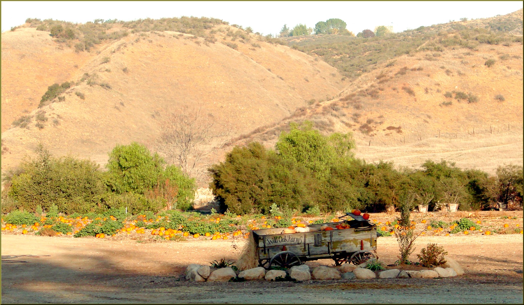
Live Oak Farms, Pumpkins 12-9-12a

Sunrise on The San Bernardino's
Sunsets 010
W 5th St, Highland, CA, USA Map
Search another place
Near Places
Cole Ave, Highland, CA, USA
Fleming St, Highland, CA, USA
Cypress St, Highland, CA, USA
Cypress, Highland, CA, USA
Highland Historical District, Highland, CA, USA
Highland, CA, USA
Center St, Highland, CA, USA
Stratford St, Highland, CA, USA
Pasito St, Highland, CA, USA
Highland Grove Elementary, Orange St, Highland, CA, USA
Grove Ave, Highland, CA, USA
Amber Hills, San Bernardino, CA, USA
Croydon St, Highland, CA, USA
N Palm Ave, Highland, CA, USA
Small Canyon, San Bernardino, CA, USA
Piedmont Dr, Highland, CA, USA
La Verne Ave, Highland, CA, USA
Ridgeview Rd, Highland, CA, USA
Dover Ct, Highland, CA, USA
Pinon Ct N, Highland, CA, USA
Recent Searches
- Sunrise Sunset Times of Red Dog Mine, AK, USA
- Sunrise Sunset Times of Am Bahnhof, Am bhf, Borken, Germany
- Sunrise Sunset Times of 4th St E, Sonoma, CA, USA
- Sunrise Sunset Times of Oakland Ave, Williamsport, PA, USA
- Sunrise Sunset Times of Via Roma, Pieranica CR, Italy
- Sunrise Sunset Times of Clock Tower of Dubrovnik, Grad, Dubrovnik, Croatia
- Sunrise Sunset Times of Trelew, Chubut Province, Argentina
- Sunrise Sunset Times of Hartfords Bluff Cir, Mt Pleasant, SC, USA
- Sunrise Sunset Times of Kita Ward, Kumamoto, Japan
- Sunrise Sunset Times of Pingtan Island, Pingtan County, Fuzhou, China