Sunrise Sunset Times of Spring Point, New Mexico, USA
Location: United States > New Mexico > Lincoln County > Nogal >
Timezone:
America/Denver
Current Time:
2025-07-04 11:49:46
Longitude:
-105.8433333
Latitude:
33.4588888
Sunrise Today:
05:59:24 AM
Sunset Today:
08:16:51 PM
Daylength Today:
14h 17m 27s
Sunrise Tomorrow:
05:59:54 AM
Sunset Tomorrow:
08:16:40 PM
Daylength Tomorrow:
14h 16m 46s
Year Show All Dates
| Date | Sunrise | Sunset | Daylength |
|---|---|---|---|
| 01/01/2025 | 07:07:38 AM | 05:07:29 PM | 9h 59m 51s |
| 01/02/2025 | 07:07:47 AM | 05:08:15 PM | 10h 0m 28s |
| 01/03/2025 | 07:07:54 AM | 05:09:03 PM | 10h 1m 9s |
| 01/04/2025 | 07:07:59 AM | 05:09:51 PM | 10h 1m 52s |
| 01/05/2025 | 07:08:02 AM | 05:10:40 PM | 10h 2m 38s |
| 01/06/2025 | 07:08:04 AM | 05:11:30 PM | 10h 3m 26s |
| 01/07/2025 | 07:08:03 AM | 05:12:21 PM | 10h 4m 18s |
| 01/08/2025 | 07:08:01 AM | 05:13:13 PM | 10h 5m 12s |
| 01/09/2025 | 07:07:57 AM | 05:14:06 PM | 10h 6m 9s |
| 01/10/2025 | 07:07:51 AM | 05:14:59 PM | 10h 7m 8s |
| 01/11/2025 | 07:07:43 AM | 05:15:53 PM | 10h 8m 10s |
| 01/12/2025 | 07:07:34 AM | 05:16:47 PM | 10h 9m 13s |
| 01/13/2025 | 07:07:23 AM | 05:17:42 PM | 10h 10m 19s |
| 01/14/2025 | 07:07:09 AM | 05:18:37 PM | 10h 11m 28s |
| 01/15/2025 | 07:06:54 AM | 05:19:33 PM | 10h 12m 39s |
| 01/16/2025 | 07:06:38 AM | 05:20:29 PM | 10h 13m 51s |
| 01/17/2025 | 07:06:19 AM | 05:21:26 PM | 10h 15m 7s |
| 01/18/2025 | 07:05:59 AM | 05:22:23 PM | 10h 16m 24s |
| 01/19/2025 | 07:05:37 AM | 05:23:20 PM | 10h 17m 43s |
| 01/20/2025 | 07:05:13 AM | 05:24:18 PM | 10h 19m 5s |
| 01/21/2025 | 07:04:47 AM | 05:25:15 PM | 10h 20m 28s |
| 01/22/2025 | 07:04:20 AM | 05:26:13 PM | 10h 21m 53s |
| 01/23/2025 | 07:03:51 AM | 05:27:11 PM | 10h 23m 20s |
| 01/24/2025 | 07:03:20 AM | 05:28:09 PM | 10h 24m 49s |
| 01/25/2025 | 07:02:47 AM | 05:29:08 PM | 10h 26m 21s |
| 01/26/2025 | 07:02:13 AM | 05:30:06 PM | 10h 27m 53s |
| 01/27/2025 | 07:01:38 AM | 05:31:04 PM | 10h 29m 26s |
| 01/28/2025 | 07:01:00 AM | 05:32:02 PM | 10h 31m 2s |
| 01/29/2025 | 07:00:22 AM | 05:33:00 PM | 10h 32m 38s |
| 01/30/2025 | 06:59:41 AM | 05:33:58 PM | 10h 34m 17s |
| 01/31/2025 | 06:58:59 AM | 05:34:56 PM | 10h 35m 57s |
| 02/01/2025 | 06:58:16 AM | 05:35:54 PM | 10h 37m 38s |
| 02/02/2025 | 06:57:31 AM | 05:36:52 PM | 10h 39m 21s |
| 02/03/2025 | 06:56:45 AM | 05:37:49 PM | 10h 41m 4s |
| 02/04/2025 | 06:55:57 AM | 05:38:47 PM | 10h 42m 50s |
| 02/05/2025 | 06:55:08 AM | 05:39:44 PM | 10h 44m 36s |
| 02/06/2025 | 06:54:17 AM | 05:40:40 PM | 10h 46m 23s |
| 02/07/2025 | 06:53:25 AM | 05:41:37 PM | 10h 48m 12s |
| 02/08/2025 | 06:52:32 AM | 05:42:33 PM | 10h 50m 1s |
| 02/09/2025 | 06:51:38 AM | 05:43:29 PM | 10h 51m 51s |
| 02/10/2025 | 06:50:42 AM | 05:44:25 PM | 10h 53m 43s |
| 02/11/2025 | 06:49:45 AM | 05:45:20 PM | 10h 55m 35s |
| 02/12/2025 | 06:48:47 AM | 05:46:16 PM | 10h 57m 29s |
| 02/13/2025 | 06:47:48 AM | 05:47:10 PM | 10h 59m 22s |
| 02/14/2025 | 06:46:48 AM | 05:48:05 PM | 11h 1m 17s |
| 02/15/2025 | 06:45:46 AM | 05:48:59 PM | 11h 3m 13s |
| 02/16/2025 | 06:44:44 AM | 05:49:53 PM | 11h 5m 9s |
| 02/17/2025 | 06:43:40 AM | 05:50:46 PM | 11h 7m 6s |
| 02/18/2025 | 06:42:36 AM | 05:51:39 PM | 11h 9m 3s |
| 02/19/2025 | 06:41:30 AM | 05:52:32 PM | 11h 11m 2s |
| 02/20/2025 | 06:40:24 AM | 05:53:25 PM | 11h 13m 1s |
| 02/21/2025 | 06:39:16 AM | 05:54:17 PM | 11h 15m 1s |
| 02/22/2025 | 06:38:08 AM | 05:55:08 PM | 11h 17m 0s |
| 02/23/2025 | 06:36:59 AM | 05:56:00 PM | 11h 19m 1s |
| 02/24/2025 | 06:35:49 AM | 05:56:51 PM | 11h 21m 2s |
| 02/25/2025 | 06:34:38 AM | 05:57:41 PM | 11h 23m 3s |
| 02/26/2025 | 06:33:27 AM | 05:58:32 PM | 11h 25m 5s |
| 02/27/2025 | 06:32:15 AM | 05:59:22 PM | 11h 27m 7s |
| 02/28/2025 | 06:31:02 AM | 06:00:11 PM | 11h 29m 9s |
| 03/01/2025 | 06:29:48 AM | 06:01:01 PM | 11h 31m 13s |
| 03/02/2025 | 06:28:34 AM | 06:01:50 PM | 11h 33m 16s |
| 03/03/2025 | 06:27:19 AM | 06:02:38 PM | 11h 35m 19s |
| 03/04/2025 | 06:26:04 AM | 06:03:27 PM | 11h 37m 23s |
| 03/05/2025 | 06:24:48 AM | 06:04:15 PM | 11h 39m 27s |
| 03/06/2025 | 06:23:31 AM | 06:05:03 PM | 11h 41m 32s |
| 03/07/2025 | 06:22:14 AM | 06:05:50 PM | 11h 43m 36s |
| 03/08/2025 | 06:20:57 AM | 06:06:37 PM | 11h 45m 40s |
| 03/09/2025 | 07:19:43 AM | 07:07:22 PM | 11h 47m 39s |
| 03/10/2025 | 07:18:24 AM | 07:08:09 PM | 11h 49m 45s |
| 03/11/2025 | 07:17:06 AM | 07:08:56 PM | 11h 51m 50s |
| 03/12/2025 | 07:15:47 AM | 07:09:42 PM | 11h 53m 55s |
| 03/13/2025 | 07:14:28 AM | 07:10:28 PM | 11h 56m 0s |
| 03/14/2025 | 07:13:08 AM | 07:11:14 PM | 11h 58m 6s |
| 03/15/2025 | 07:11:49 AM | 07:11:59 PM | 12h 0m 10s |
| 03/16/2025 | 07:10:29 AM | 07:12:45 PM | 12h 2m 16s |
| 03/17/2025 | 07:09:09 AM | 07:13:30 PM | 12h 4m 21s |
| 03/18/2025 | 07:07:48 AM | 07:14:15 PM | 12h 6m 27s |
| 03/19/2025 | 07:06:28 AM | 07:15:00 PM | 12h 8m 32s |
| 03/20/2025 | 07:05:08 AM | 07:15:45 PM | 12h 10m 37s |
| 03/21/2025 | 07:03:47 AM | 07:16:30 PM | 12h 12m 43s |
| 03/22/2025 | 07:02:26 AM | 07:17:14 PM | 12h 14m 48s |
| 03/23/2025 | 07:01:06 AM | 07:17:59 PM | 12h 16m 53s |
| 03/24/2025 | 06:59:45 AM | 07:18:43 PM | 12h 18m 58s |
| 03/25/2025 | 06:58:25 AM | 07:19:28 PM | 12h 21m 3s |
| 03/26/2025 | 06:57:04 AM | 07:20:12 PM | 12h 23m 8s |
| 03/27/2025 | 06:55:44 AM | 07:20:56 PM | 12h 25m 12s |
| 03/28/2025 | 06:54:24 AM | 07:21:40 PM | 12h 27m 16s |
| 03/29/2025 | 06:53:04 AM | 07:22:24 PM | 12h 29m 20s |
| 03/30/2025 | 06:51:44 AM | 07:23:08 PM | 12h 31m 24s |
| 03/31/2025 | 06:50:24 AM | 07:23:52 PM | 12h 33m 28s |
| 04/01/2025 | 06:49:05 AM | 07:24:36 PM | 12h 35m 31s |
| 04/02/2025 | 06:47:46 AM | 07:25:21 PM | 12h 37m 35s |
| 04/03/2025 | 06:46:27 AM | 07:26:05 PM | 12h 39m 38s |
| 04/04/2025 | 06:45:08 AM | 07:26:49 PM | 12h 41m 41s |
| 04/05/2025 | 06:43:50 AM | 07:27:33 PM | 12h 43m 43s |
| 04/06/2025 | 06:42:32 AM | 07:28:17 PM | 12h 45m 45s |
| 04/07/2025 | 06:41:15 AM | 07:29:01 PM | 12h 47m 46s |
| 04/08/2025 | 06:39:58 AM | 07:29:45 PM | 12h 49m 47s |
| 04/09/2025 | 06:38:42 AM | 07:30:30 PM | 12h 51m 48s |
| 04/10/2025 | 06:37:26 AM | 07:31:14 PM | 12h 53m 48s |
| 04/11/2025 | 06:36:10 AM | 07:31:58 PM | 12h 55m 48s |
| 04/12/2025 | 06:34:56 AM | 07:32:43 PM | 12h 57m 47s |
| 04/13/2025 | 06:33:41 AM | 07:33:27 PM | 12h 59m 46s |
| 04/14/2025 | 06:32:28 AM | 07:34:12 PM | 13h 1m 44s |
| 04/15/2025 | 06:31:15 AM | 07:34:57 PM | 13h 3m 42s |
| 04/16/2025 | 06:30:03 AM | 07:35:41 PM | 13h 5m 38s |
| 04/17/2025 | 06:28:51 AM | 07:36:26 PM | 13h 7m 35s |
| 04/18/2025 | 06:27:40 AM | 07:37:11 PM | 13h 9m 31s |
| 04/19/2025 | 06:26:30 AM | 07:37:56 PM | 13h 11m 26s |
| 04/20/2025 | 06:25:21 AM | 07:38:41 PM | 13h 13m 20s |
| 04/21/2025 | 06:24:12 AM | 07:39:26 PM | 13h 15m 14s |
| 04/22/2025 | 06:23:05 AM | 07:40:12 PM | 13h 17m 7s |
| 04/23/2025 | 06:21:58 AM | 07:40:57 PM | 13h 18m 59s |
| 04/24/2025 | 06:20:52 AM | 07:41:42 PM | 13h 20m 50s |
| 04/25/2025 | 06:19:47 AM | 07:42:28 PM | 13h 22m 41s |
| 04/26/2025 | 06:18:43 AM | 07:43:13 PM | 13h 24m 30s |
| 04/27/2025 | 06:17:40 AM | 07:43:59 PM | 13h 26m 19s |
| 04/28/2025 | 06:16:38 AM | 07:44:44 PM | 13h 28m 6s |
| 04/29/2025 | 06:15:37 AM | 07:45:30 PM | 13h 29m 53s |
| 04/30/2025 | 06:14:37 AM | 07:46:16 PM | 13h 31m 39s |
| 05/01/2025 | 06:13:38 AM | 07:47:01 PM | 13h 33m 23s |
| 05/02/2025 | 06:12:40 AM | 07:47:47 PM | 13h 35m 7s |
| 05/03/2025 | 06:11:43 AM | 07:48:32 PM | 13h 36m 49s |
| 05/04/2025 | 06:10:48 AM | 07:49:18 PM | 13h 38m 30s |
| 05/05/2025 | 06:09:54 AM | 07:50:03 PM | 13h 40m 9s |
| 05/06/2025 | 06:09:00 AM | 07:50:49 PM | 13h 41m 49s |
| 05/07/2025 | 06:08:08 AM | 07:51:34 PM | 13h 43m 26s |
| 05/08/2025 | 06:07:18 AM | 07:52:19 PM | 13h 45m 1s |
| 05/09/2025 | 06:06:28 AM | 07:53:04 PM | 13h 46m 36s |
| 05/10/2025 | 06:05:40 AM | 07:53:49 PM | 13h 48m 9s |
| 05/11/2025 | 06:04:54 AM | 07:54:34 PM | 13h 49m 40s |
| 05/12/2025 | 06:04:08 AM | 07:55:18 PM | 13h 51m 10s |
| 05/13/2025 | 06:03:24 AM | 07:56:03 PM | 13h 52m 39s |
| 05/14/2025 | 06:02:41 AM | 07:56:47 PM | 13h 54m 6s |
| 05/15/2025 | 06:02:00 AM | 07:57:31 PM | 13h 55m 31s |
| 05/16/2025 | 06:01:20 AM | 07:58:14 PM | 13h 56m 54s |
| 05/17/2025 | 06:00:42 AM | 07:58:57 PM | 13h 58m 15s |
| 05/18/2025 | 06:00:05 AM | 07:59:40 PM | 13h 59m 35s |
| 05/19/2025 | 05:59:29 AM | 08:00:23 PM | 14h 0m 54s |
| 05/20/2025 | 05:58:55 AM | 08:01:05 PM | 14h 2m 10s |
| 05/21/2025 | 05:58:22 AM | 08:01:47 PM | 14h 3m 25s |
| 05/22/2025 | 05:57:51 AM | 08:02:28 PM | 14h 4m 37s |
| 05/23/2025 | 05:57:22 AM | 08:03:08 PM | 14h 5m 46s |
| 05/24/2025 | 05:56:54 AM | 08:03:49 PM | 14h 6m 55s |
| 05/25/2025 | 05:56:27 AM | 08:04:28 PM | 14h 8m 1s |
| 05/26/2025 | 05:56:02 AM | 08:05:07 PM | 14h 9m 5s |
| 05/27/2025 | 05:55:39 AM | 08:05:45 PM | 14h 10m 6s |
| 05/28/2025 | 05:55:17 AM | 08:06:23 PM | 14h 11m 6s |
| 05/29/2025 | 05:54:57 AM | 08:07:00 PM | 14h 12m 3s |
| 05/30/2025 | 05:54:38 AM | 08:07:36 PM | 14h 12m 58s |
| 05/31/2025 | 05:54:21 AM | 08:08:12 PM | 14h 13m 51s |
| 06/01/2025 | 05:54:05 AM | 08:08:47 PM | 14h 14m 42s |
| 06/02/2025 | 05:53:52 AM | 08:09:20 PM | 14h 15m 28s |
| 06/03/2025 | 05:53:39 AM | 08:09:53 PM | 14h 16m 14s |
| 06/04/2025 | 05:53:28 AM | 08:10:25 PM | 14h 16m 57s |
| 06/05/2025 | 05:53:19 AM | 08:10:56 PM | 14h 17m 37s |
| 06/06/2025 | 05:53:11 AM | 08:11:27 PM | 14h 18m 16s |
| 06/07/2025 | 05:53:05 AM | 08:11:56 PM | 14h 18m 51s |
| 06/08/2025 | 05:53:01 AM | 08:12:24 PM | 14h 19m 23s |
| 06/09/2025 | 05:52:58 AM | 08:12:51 PM | 14h 19m 53s |
| 06/10/2025 | 05:52:56 AM | 08:13:17 PM | 14h 20m 21s |
| 06/11/2025 | 05:52:56 AM | 08:13:41 PM | 14h 20m 45s |
| 06/12/2025 | 05:52:58 AM | 08:14:05 PM | 14h 21m 7s |
| 06/13/2025 | 05:53:01 AM | 08:14:27 PM | 14h 21m 26s |
| 06/14/2025 | 05:53:05 AM | 08:14:49 PM | 14h 21m 44s |
| 06/15/2025 | 05:53:11 AM | 08:15:08 PM | 14h 21m 57s |
| 06/16/2025 | 05:53:19 AM | 08:15:27 PM | 14h 22m 8s |
| 06/17/2025 | 05:53:28 AM | 08:15:44 PM | 14h 22m 16s |
| 06/18/2025 | 05:53:38 AM | 08:16:00 PM | 14h 22m 22s |
| 06/19/2025 | 05:53:50 AM | 08:16:15 PM | 14h 22m 25s |
| 06/20/2025 | 05:54:03 AM | 08:16:28 PM | 14h 22m 25s |
| 06/21/2025 | 05:54:17 AM | 08:16:40 PM | 14h 22m 23s |
| 06/22/2025 | 05:54:32 AM | 08:16:50 PM | 14h 22m 18s |
| 06/23/2025 | 05:54:49 AM | 08:16:59 PM | 14h 22m 10s |
| 06/24/2025 | 05:55:08 AM | 08:17:06 PM | 14h 21m 58s |
| 06/25/2025 | 05:55:27 AM | 08:17:12 PM | 14h 21m 45s |
| 06/26/2025 | 05:55:48 AM | 08:17:16 PM | 14h 21m 28s |
| 06/27/2025 | 05:56:09 AM | 08:17:19 PM | 14h 21m 10s |
| 06/28/2025 | 05:56:32 AM | 08:17:20 PM | 14h 20m 48s |
| 06/29/2025 | 05:56:56 AM | 08:17:20 PM | 14h 20m 24s |
| 06/30/2025 | 05:57:21 AM | 08:17:18 PM | 14h 19m 57s |
| 07/01/2025 | 05:57:47 AM | 08:17:14 PM | 14h 19m 27s |
| 07/02/2025 | 05:58:15 AM | 08:17:09 PM | 14h 18m 54s |
| 07/03/2025 | 05:58:43 AM | 08:17:03 PM | 14h 18m 20s |
| 07/04/2025 | 05:59:12 AM | 08:16:54 PM | 14h 17m 42s |
| 07/05/2025 | 05:59:42 AM | 08:16:45 PM | 14h 17m 3s |
| 07/06/2025 | 06:00:13 AM | 08:16:33 PM | 14h 16m 20s |
| 07/07/2025 | 06:00:44 AM | 08:16:20 PM | 14h 15m 36s |
| 07/08/2025 | 06:01:17 AM | 08:16:05 PM | 14h 14m 48s |
| 07/09/2025 | 06:01:50 AM | 08:15:49 PM | 14h 13m 59s |
| 07/10/2025 | 06:02:24 AM | 08:15:31 PM | 14h 13m 7s |
| 07/11/2025 | 06:02:59 AM | 08:15:11 PM | 14h 12m 12s |
| 07/12/2025 | 06:03:34 AM | 08:14:50 PM | 14h 11m 16s |
| 07/13/2025 | 06:04:10 AM | 08:14:27 PM | 14h 10m 17s |
| 07/14/2025 | 06:04:46 AM | 08:14:03 PM | 14h 9m 17s |
| 07/15/2025 | 06:05:24 AM | 08:13:37 PM | 14h 8m 13s |
| 07/16/2025 | 06:06:01 AM | 08:13:09 PM | 14h 7m 8s |
| 07/17/2025 | 06:06:39 AM | 08:12:40 PM | 14h 6m 1s |
| 07/18/2025 | 06:07:18 AM | 08:12:09 PM | 14h 4m 51s |
| 07/19/2025 | 06:07:57 AM | 08:11:37 PM | 14h 3m 40s |
| 07/20/2025 | 06:08:37 AM | 08:11:03 PM | 14h 2m 26s |
| 07/21/2025 | 06:09:16 AM | 08:10:28 PM | 14h 1m 12s |
| 07/22/2025 | 06:09:57 AM | 08:09:51 PM | 13h 59m 54s |
| 07/23/2025 | 06:10:37 AM | 08:09:13 PM | 13h 58m 36s |
| 07/24/2025 | 06:11:18 AM | 08:08:33 PM | 13h 57m 15s |
| 07/25/2025 | 06:11:59 AM | 08:07:52 PM | 13h 55m 53s |
| 07/26/2025 | 06:12:40 AM | 08:07:10 PM | 13h 54m 30s |
| 07/27/2025 | 06:13:22 AM | 08:06:25 PM | 13h 53m 3s |
| 07/28/2025 | 06:14:03 AM | 08:05:40 PM | 13h 51m 37s |
| 07/29/2025 | 06:14:45 AM | 08:04:53 PM | 13h 50m 8s |
| 07/30/2025 | 06:15:27 AM | 08:04:05 PM | 13h 48m 38s |
| 07/31/2025 | 06:16:09 AM | 08:03:15 PM | 13h 47m 6s |
| 08/01/2025 | 06:16:52 AM | 08:02:25 PM | 13h 45m 33s |
| 08/02/2025 | 06:17:34 AM | 08:01:33 PM | 13h 43m 59s |
| 08/03/2025 | 06:18:16 AM | 08:00:39 PM | 13h 42m 23s |
| 08/04/2025 | 06:18:59 AM | 07:59:44 PM | 13h 40m 45s |
| 08/05/2025 | 06:19:41 AM | 07:58:49 PM | 13h 39m 8s |
| 08/06/2025 | 06:20:23 AM | 07:57:52 PM | 13h 37m 29s |
| 08/07/2025 | 06:21:06 AM | 07:56:53 PM | 13h 35m 47s |
| 08/08/2025 | 06:21:48 AM | 07:55:54 PM | 13h 34m 6s |
| 08/09/2025 | 06:22:31 AM | 07:54:53 PM | 13h 32m 22s |
| 08/10/2025 | 06:23:13 AM | 07:53:52 PM | 13h 30m 39s |
| 08/11/2025 | 06:23:55 AM | 07:52:49 PM | 13h 28m 54s |
| 08/12/2025 | 06:24:37 AM | 07:51:46 PM | 13h 27m 9s |
| 08/13/2025 | 06:25:20 AM | 07:50:41 PM | 13h 25m 21s |
| 08/14/2025 | 06:26:02 AM | 07:49:35 PM | 13h 23m 33s |
| 08/15/2025 | 06:26:43 AM | 07:48:28 PM | 13h 21m 45s |
| 08/16/2025 | 06:27:25 AM | 07:47:21 PM | 13h 19m 56s |
| 08/17/2025 | 06:28:07 AM | 07:46:12 PM | 13h 18m 5s |
| 08/18/2025 | 06:28:49 AM | 07:45:03 PM | 13h 16m 14s |
| 08/19/2025 | 06:29:30 AM | 07:43:53 PM | 13h 14m 23s |
| 08/20/2025 | 06:30:12 AM | 07:42:42 PM | 13h 12m 30s |
| 08/21/2025 | 06:30:53 AM | 07:41:30 PM | 13h 10m 37s |
| 08/22/2025 | 06:31:34 AM | 07:40:17 PM | 13h 8m 43s |
| 08/23/2025 | 06:32:15 AM | 07:39:04 PM | 13h 6m 49s |
| 08/24/2025 | 06:32:56 AM | 07:37:50 PM | 13h 4m 54s |
| 08/25/2025 | 06:33:37 AM | 07:36:35 PM | 13h 2m 58s |
| 08/26/2025 | 06:34:18 AM | 07:35:19 PM | 13h 1m 1s |
| 08/27/2025 | 06:34:59 AM | 07:34:03 PM | 12h 59m 4s |
| 08/28/2025 | 06:35:39 AM | 07:32:47 PM | 12h 57m 8s |
| 08/29/2025 | 06:36:20 AM | 07:31:29 PM | 12h 55m 9s |
| 08/30/2025 | 06:37:00 AM | 07:30:11 PM | 12h 53m 11s |
| 08/31/2025 | 06:37:40 AM | 07:28:53 PM | 12h 51m 13s |
| 09/01/2025 | 06:38:20 AM | 07:27:34 PM | 12h 49m 14s |
| 09/02/2025 | 06:39:01 AM | 07:26:15 PM | 12h 47m 14s |
| 09/03/2025 | 06:39:41 AM | 07:24:55 PM | 12h 45m 14s |
| 09/04/2025 | 06:40:21 AM | 07:23:35 PM | 12h 43m 14s |
| 09/05/2025 | 06:41:01 AM | 07:22:14 PM | 12h 41m 13s |
| 09/06/2025 | 06:41:40 AM | 07:20:53 PM | 12h 39m 13s |
| 09/07/2025 | 06:42:20 AM | 07:19:32 PM | 12h 37m 12s |
| 09/08/2025 | 06:43:00 AM | 07:18:11 PM | 12h 35m 11s |
| 09/09/2025 | 06:43:40 AM | 07:16:49 PM | 12h 33m 9s |
| 09/10/2025 | 06:44:20 AM | 07:15:27 PM | 12h 31m 7s |
| 09/11/2025 | 06:45:00 AM | 07:14:05 PM | 12h 29m 5s |
| 09/12/2025 | 06:45:40 AM | 07:12:42 PM | 12h 27m 2s |
| 09/13/2025 | 06:46:19 AM | 07:11:19 PM | 12h 25m 0s |
| 09/14/2025 | 06:46:59 AM | 07:09:57 PM | 12h 22m 58s |
| 09/15/2025 | 06:47:39 AM | 07:08:34 PM | 12h 20m 55s |
| 09/16/2025 | 06:48:19 AM | 07:07:11 PM | 12h 18m 52s |
| 09/17/2025 | 06:48:59 AM | 07:05:48 PM | 12h 16m 49s |
| 09/18/2025 | 06:49:40 AM | 07:04:25 PM | 12h 14m 45s |
| 09/19/2025 | 06:50:20 AM | 07:03:02 PM | 12h 12m 42s |
| 09/20/2025 | 06:51:00 AM | 07:01:39 PM | 12h 10m 39s |
| 09/21/2025 | 06:51:41 AM | 07:00:16 PM | 12h 8m 35s |
| 09/22/2025 | 06:52:21 AM | 06:58:53 PM | 12h 6m 32s |
| 09/23/2025 | 06:53:02 AM | 06:57:31 PM | 12h 4m 29s |
| 09/24/2025 | 06:53:43 AM | 06:56:08 PM | 12h 2m 25s |
| 09/25/2025 | 06:54:24 AM | 06:54:46 PM | 12h 0m 22s |
| 09/26/2025 | 06:55:06 AM | 06:53:24 PM | 11h 58m 18s |
| 09/27/2025 | 06:55:47 AM | 06:52:02 PM | 11h 56m 15s |
| 09/28/2025 | 06:56:29 AM | 06:50:40 PM | 11h 54m 11s |
| 09/29/2025 | 06:57:11 AM | 06:49:19 PM | 11h 52m 8s |
| 09/30/2025 | 06:57:53 AM | 06:47:58 PM | 11h 50m 5s |
| 10/01/2025 | 06:58:35 AM | 06:46:37 PM | 11h 48m 2s |
| 10/02/2025 | 06:59:18 AM | 06:45:17 PM | 11h 45m 59s |
| 10/03/2025 | 07:00:01 AM | 06:43:57 PM | 11h 43m 56s |
| 10/04/2025 | 07:00:44 AM | 06:42:38 PM | 11h 41m 54s |
| 10/05/2025 | 07:01:28 AM | 06:41:19 PM | 11h 39m 51s |
| 10/06/2025 | 07:02:12 AM | 06:40:01 PM | 11h 37m 49s |
| 10/07/2025 | 07:02:56 AM | 06:38:43 PM | 11h 35m 47s |
| 10/08/2025 | 07:03:40 AM | 06:37:25 PM | 11h 33m 45s |
| 10/09/2025 | 07:04:25 AM | 06:36:09 PM | 11h 31m 44s |
| 10/10/2025 | 07:05:10 AM | 06:34:53 PM | 11h 29m 43s |
| 10/11/2025 | 07:05:55 AM | 06:33:37 PM | 11h 27m 42s |
| 10/12/2025 | 07:06:41 AM | 06:32:22 PM | 11h 25m 41s |
| 10/13/2025 | 07:07:27 AM | 06:31:08 PM | 11h 23m 41s |
| 10/14/2025 | 07:08:14 AM | 06:29:55 PM | 11h 21m 41s |
| 10/15/2025 | 07:09:00 AM | 06:28:43 PM | 11h 19m 43s |
| 10/16/2025 | 07:09:48 AM | 06:27:31 PM | 11h 17m 43s |
| 10/17/2025 | 07:10:35 AM | 06:26:20 PM | 11h 15m 45s |
| 10/18/2025 | 07:11:23 AM | 06:25:10 PM | 11h 13m 47s |
| 10/19/2025 | 07:12:12 AM | 06:24:01 PM | 11h 11m 49s |
| 10/20/2025 | 07:13:00 AM | 06:22:53 PM | 11h 9m 53s |
| 10/21/2025 | 07:13:49 AM | 06:21:45 PM | 11h 7m 56s |
| 10/22/2025 | 07:14:39 AM | 06:20:39 PM | 11h 6m 0s |
| 10/23/2025 | 07:15:29 AM | 06:19:34 PM | 11h 4m 5s |
| 10/24/2025 | 07:16:19 AM | 06:18:30 PM | 11h 2m 11s |
| 10/25/2025 | 07:17:10 AM | 06:17:26 PM | 11h 0m 16s |
| 10/26/2025 | 07:18:01 AM | 06:16:24 PM | 10h 58m 23s |
| 10/27/2025 | 07:18:52 AM | 06:15:24 PM | 10h 56m 32s |
| 10/28/2025 | 07:19:44 AM | 06:14:24 PM | 10h 54m 40s |
| 10/29/2025 | 07:20:36 AM | 06:13:25 PM | 10h 52m 49s |
| 10/30/2025 | 07:21:28 AM | 06:12:28 PM | 10h 51m 0s |
| 10/31/2025 | 07:22:21 AM | 06:11:32 PM | 10h 49m 11s |
| 11/01/2025 | 07:23:14 AM | 06:10:37 PM | 10h 47m 23s |
| 11/02/2025 | 06:24:09 AM | 05:09:42 PM | 10h 45m 33s |
| 11/03/2025 | 06:25:03 AM | 05:08:50 PM | 10h 43m 47s |
| 11/04/2025 | 06:25:57 AM | 05:07:59 PM | 10h 42m 2s |
| 11/05/2025 | 06:26:51 AM | 05:07:10 PM | 10h 40m 19s |
| 11/06/2025 | 06:27:45 AM | 05:06:22 PM | 10h 38m 37s |
| 11/07/2025 | 06:28:40 AM | 05:05:36 PM | 10h 36m 56s |
| 11/08/2025 | 06:29:35 AM | 05:04:51 PM | 10h 35m 16s |
| 11/09/2025 | 06:30:30 AM | 05:04:08 PM | 10h 33m 38s |
| 11/10/2025 | 06:31:25 AM | 05:03:26 PM | 10h 32m 1s |
| 11/11/2025 | 06:32:20 AM | 05:02:46 PM | 10h 30m 26s |
| 11/12/2025 | 06:33:15 AM | 05:02:07 PM | 10h 28m 52s |
| 11/13/2025 | 06:34:11 AM | 05:01:30 PM | 10h 27m 19s |
| 11/14/2025 | 06:35:06 AM | 05:00:55 PM | 10h 25m 49s |
| 11/15/2025 | 06:36:02 AM | 05:00:21 PM | 10h 24m 19s |
| 11/16/2025 | 06:36:57 AM | 04:59:49 PM | 10h 22m 52s |
| 11/17/2025 | 06:37:53 AM | 04:59:19 PM | 10h 21m 26s |
| 11/18/2025 | 06:38:48 AM | 04:58:50 PM | 10h 20m 2s |
| 11/19/2025 | 06:39:43 AM | 04:58:24 PM | 10h 18m 41s |
| 11/20/2025 | 06:40:38 AM | 04:57:59 PM | 10h 17m 21s |
| 11/21/2025 | 06:41:33 AM | 04:57:35 PM | 10h 16m 2s |
| 11/22/2025 | 06:42:28 AM | 04:57:14 PM | 10h 14m 46s |
| 11/23/2025 | 06:43:23 AM | 04:56:54 PM | 10h 13m 31s |
| 11/24/2025 | 06:44:17 AM | 04:56:36 PM | 10h 12m 19s |
| 11/25/2025 | 06:45:11 AM | 04:56:20 PM | 10h 11m 9s |
| 11/26/2025 | 06:46:04 AM | 04:56:06 PM | 10h 10m 2s |
| 11/27/2025 | 06:46:57 AM | 04:55:54 PM | 10h 8m 57s |
| 11/28/2025 | 06:47:49 AM | 04:55:43 PM | 10h 7m 54s |
| 11/29/2025 | 06:48:41 AM | 04:55:35 PM | 10h 6m 54s |
| 11/30/2025 | 06:49:33 AM | 04:55:28 PM | 10h 5m 55s |
| 12/01/2025 | 06:50:24 AM | 04:55:23 PM | 10h 4m 59s |
| 12/02/2025 | 06:51:14 AM | 04:55:21 PM | 10h 4m 7s |
| 12/03/2025 | 06:52:03 AM | 04:55:19 PM | 10h 3m 16s |
| 12/04/2025 | 06:52:52 AM | 04:55:20 PM | 10h 2m 28s |
| 12/05/2025 | 06:53:40 AM | 04:55:23 PM | 10h 1m 43s |
| 12/06/2025 | 06:54:27 AM | 04:55:28 PM | 10h 1m 1s |
| 12/07/2025 | 06:55:13 AM | 04:55:34 PM | 10h 0m 21s |
| 12/08/2025 | 06:55:58 AM | 04:55:42 PM | 9h 59m 44s |
| 12/09/2025 | 06:56:43 AM | 04:55:52 PM | 9h 59m 9s |
| 12/10/2025 | 06:57:26 AM | 04:56:04 PM | 9h 58m 38s |
| 12/11/2025 | 06:58:08 AM | 04:56:18 PM | 9h 58m 10s |
| 12/12/2025 | 06:58:49 AM | 04:56:33 PM | 9h 57m 44s |
| 12/13/2025 | 06:59:29 AM | 04:56:51 PM | 9h 57m 22s |
| 12/14/2025 | 07:00:08 AM | 04:57:10 PM | 9h 57m 2s |
| 12/15/2025 | 07:00:45 AM | 04:57:31 PM | 9h 56m 46s |
| 12/16/2025 | 07:01:21 AM | 04:57:53 PM | 9h 56m 32s |
| 12/17/2025 | 07:01:56 AM | 04:58:17 PM | 9h 56m 21s |
| 12/18/2025 | 07:02:30 AM | 04:58:43 PM | 9h 56m 13s |
| 12/19/2025 | 07:03:02 AM | 04:59:10 PM | 9h 56m 8s |
| 12/20/2025 | 07:03:32 AM | 04:59:39 PM | 9h 56m 7s |
| 12/21/2025 | 07:04:01 AM | 05:00:10 PM | 9h 56m 9s |
| 12/22/2025 | 07:04:29 AM | 05:00:42 PM | 9h 56m 13s |
| 12/23/2025 | 07:04:55 AM | 05:01:15 PM | 9h 56m 20s |
| 12/24/2025 | 07:05:20 AM | 05:01:50 PM | 9h 56m 30s |
| 12/25/2025 | 07:05:42 AM | 05:02:27 PM | 9h 56m 45s |
| 12/26/2025 | 07:06:04 AM | 05:03:05 PM | 9h 57m 1s |
| 12/27/2025 | 07:06:23 AM | 05:03:44 PM | 9h 57m 21s |
| 12/28/2025 | 07:06:41 AM | 05:04:24 PM | 9h 57m 43s |
| 12/29/2025 | 07:06:57 AM | 05:05:06 PM | 9h 58m 9s |
| 12/30/2025 | 07:07:12 AM | 05:05:49 PM | 9h 58m 37s |
| 12/31/2025 | 07:07:24 AM | 05:06:33 PM | 9h 59m 9s |
Sunrise & Sunset Photos
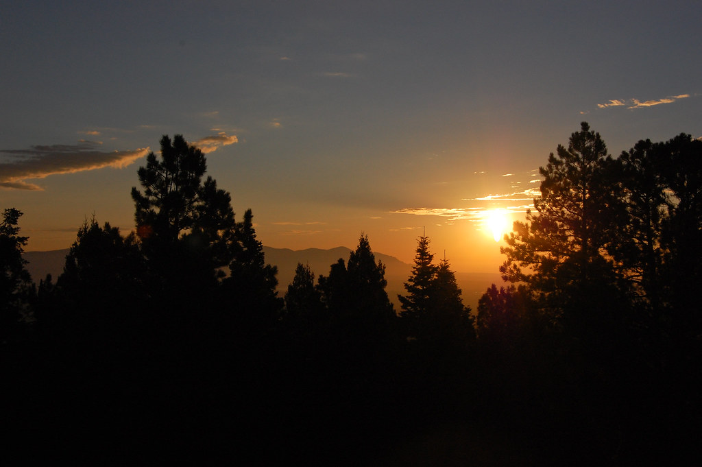
Lincoln National Forest, Ruidoso, NM
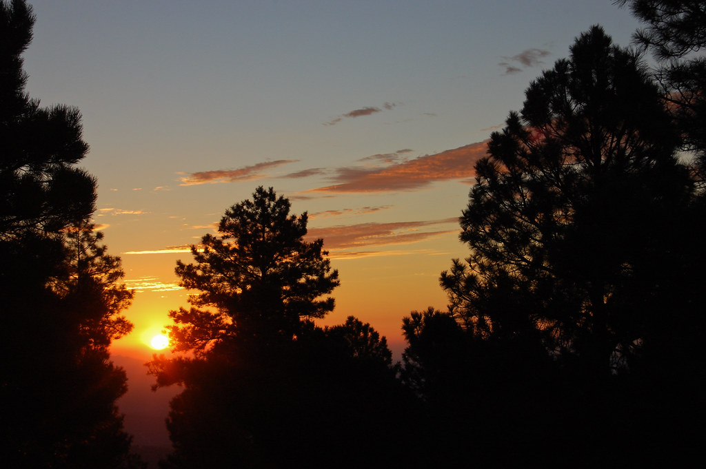
Lincoln National Forest, Ruidoso, NM
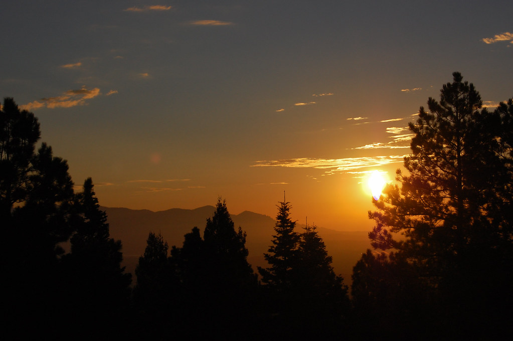
Lincoln National Forest, Ruidoso, NM
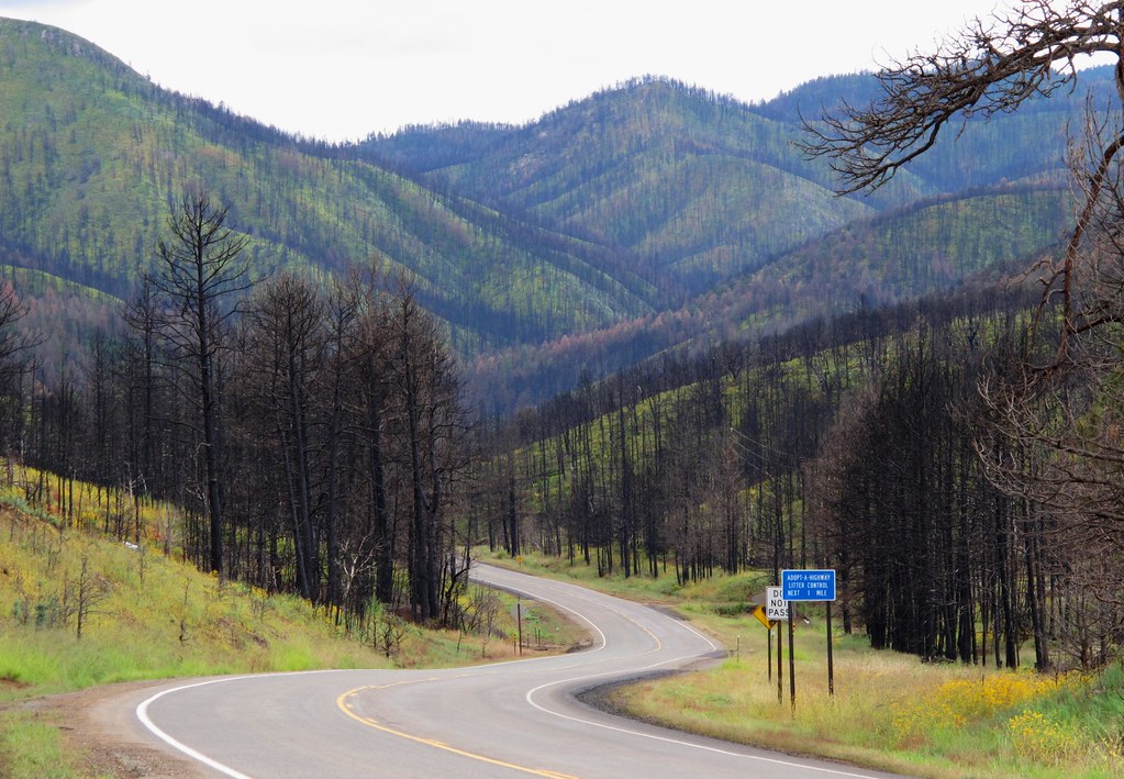
A Scenic Drive Through the Black Sticks

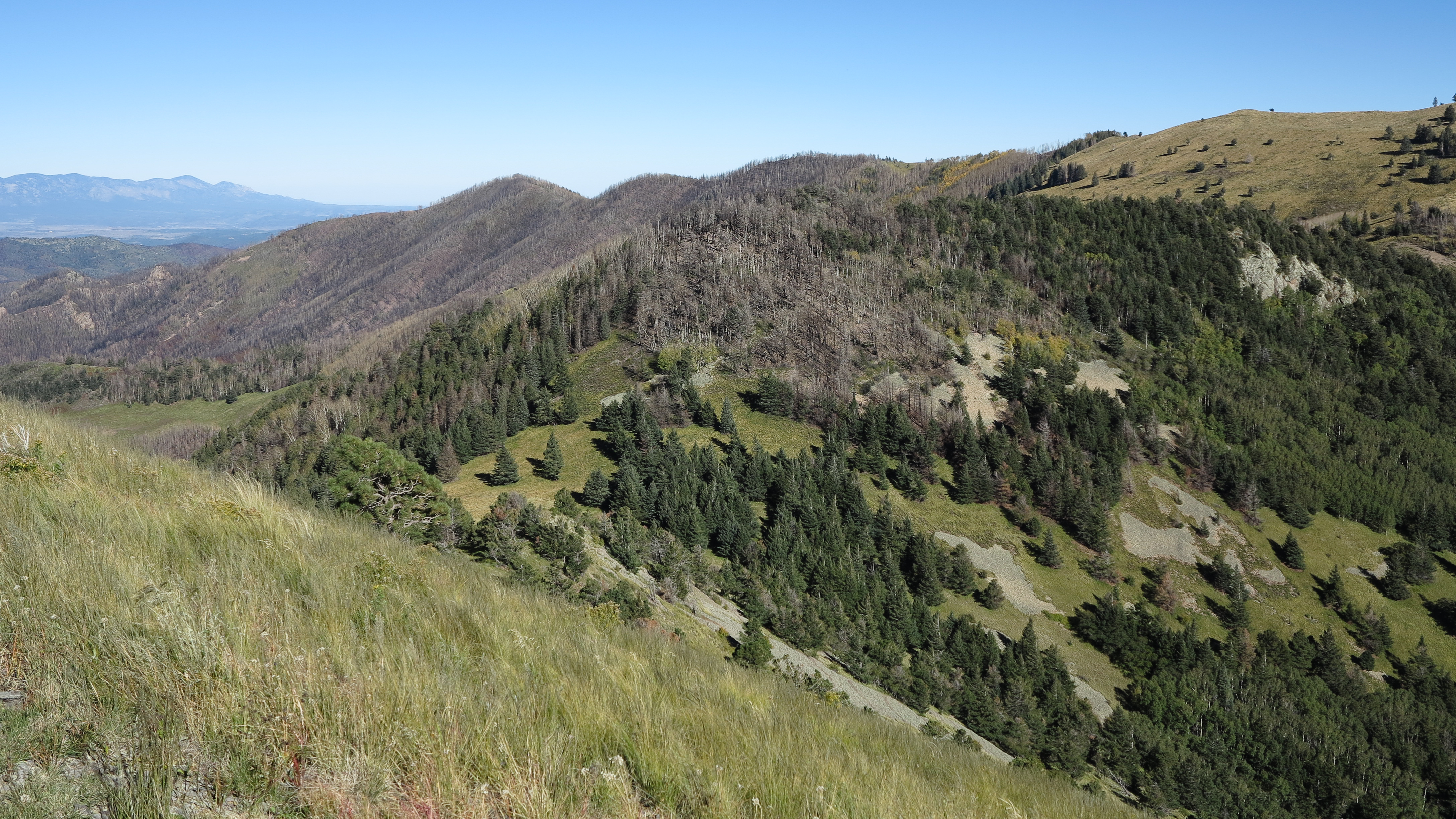
Fire Scars
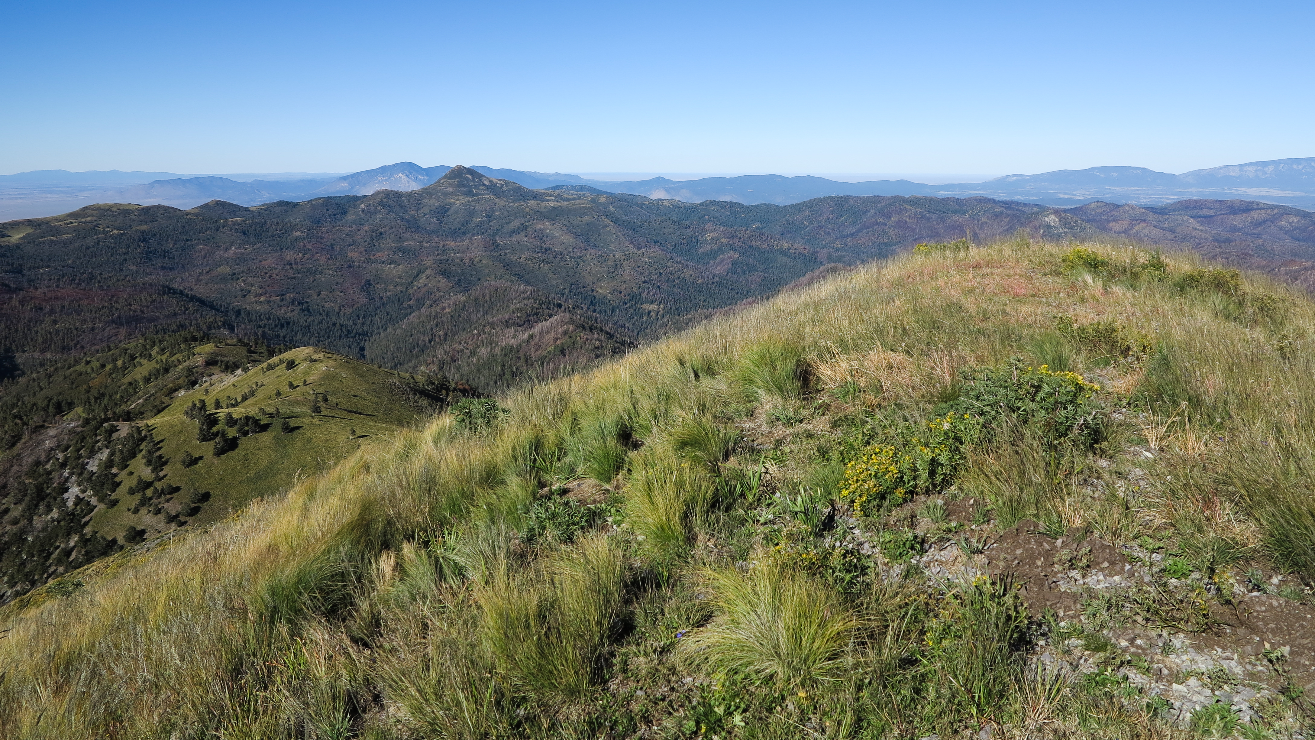
views from White Horse Hill

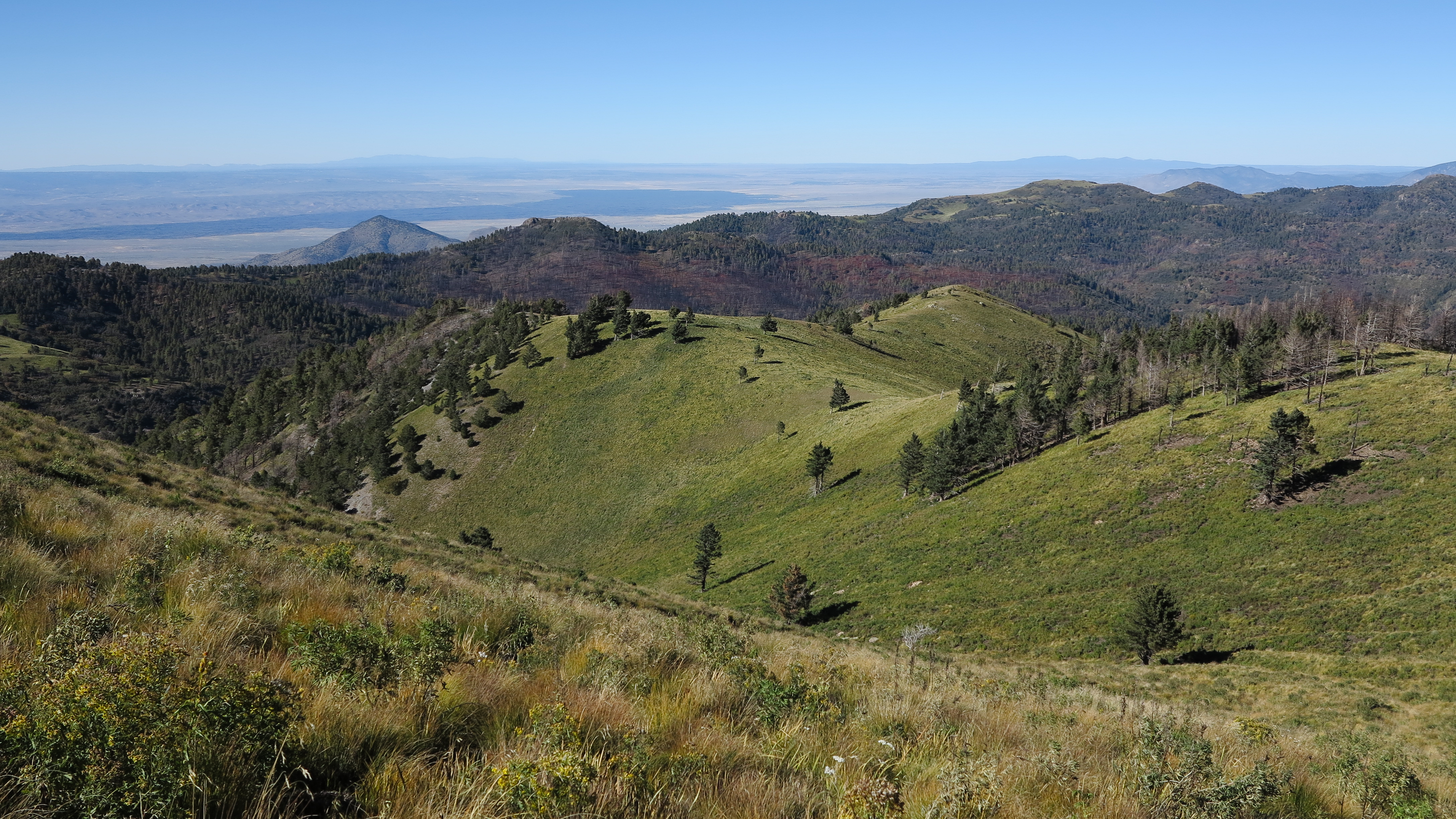
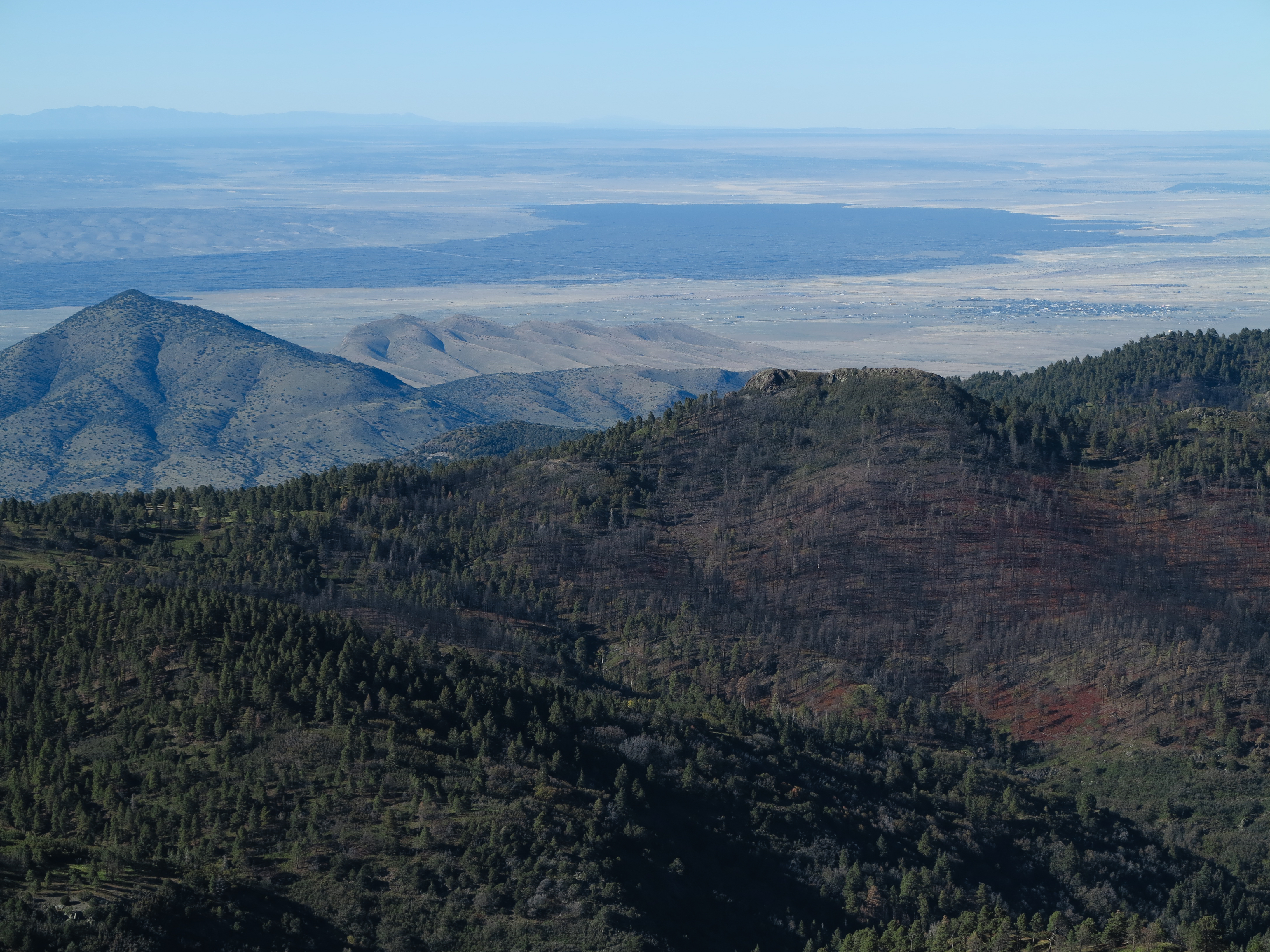
View From Sierra Blanca

Sierra Blanca peak
Capitan mountains

Sierra Blanca peak

Rainbow range revisited
views from White Horse Hill

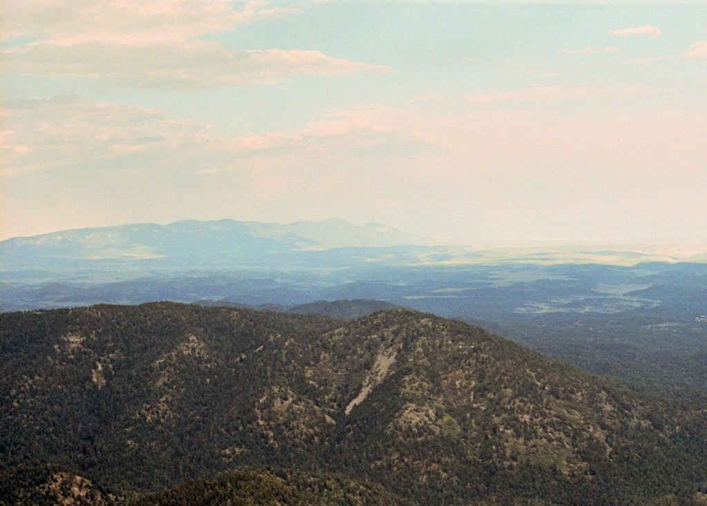
View from Three Rivers Campground in NM 5-4-10
views from White Horse Hill

Sierra Blanca Vista
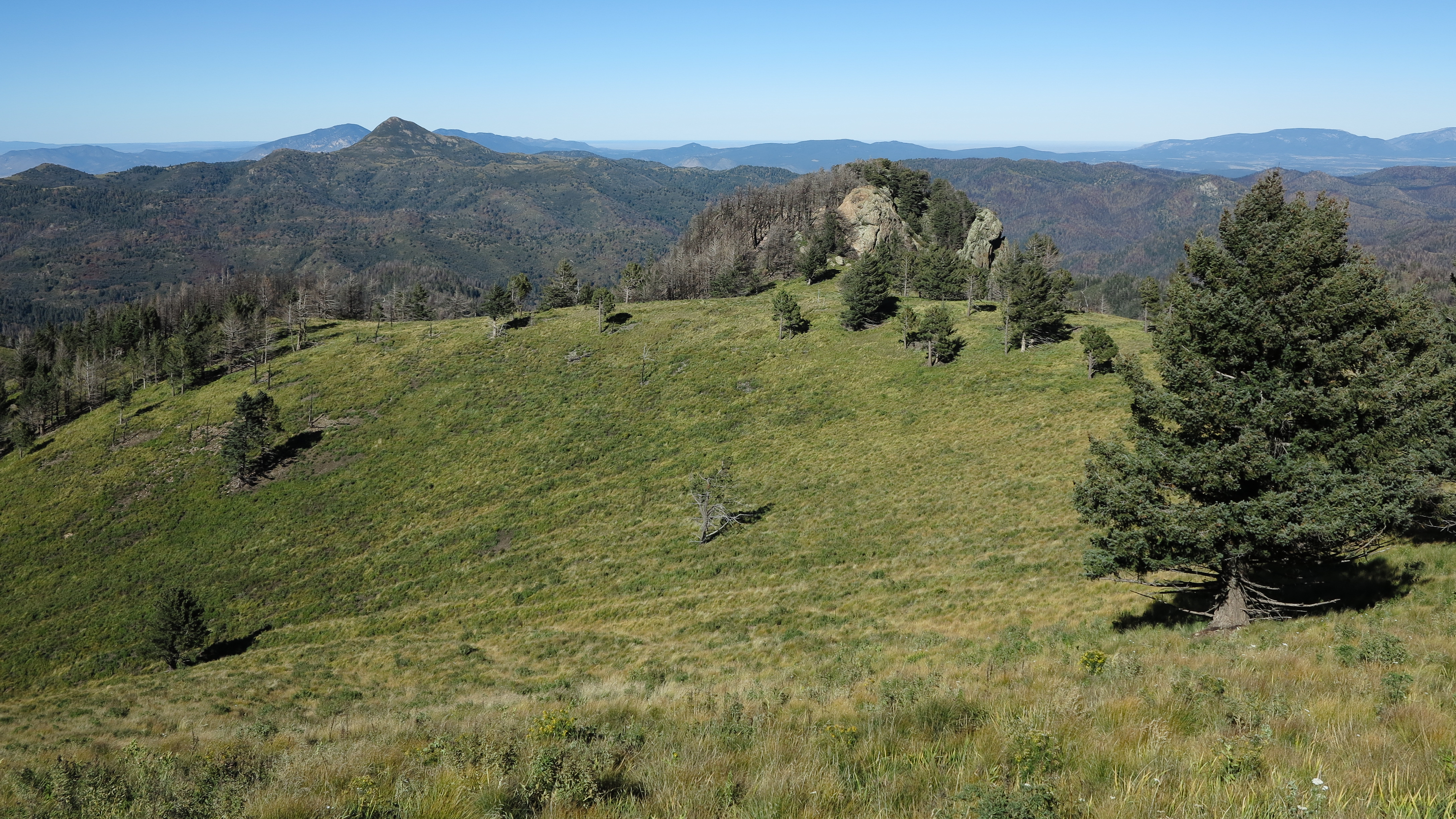
views from White Horse Hill
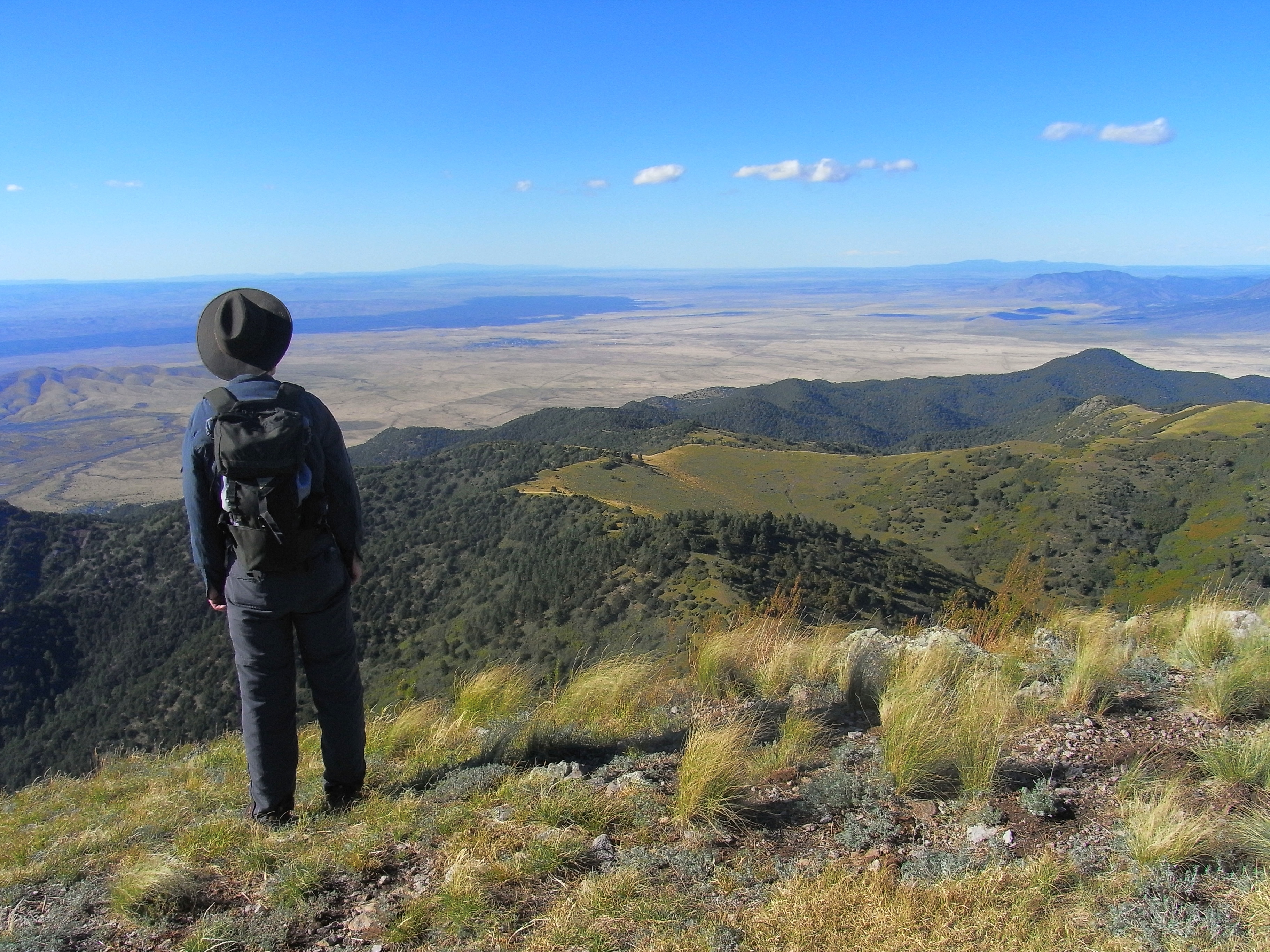
Dad takes in the view
views from White Horse Hill
Spring Point, New Mexico, USA Map
Search another place
Near Places
Argentina peak, Argentina Peak, New Mexico, USA
White Horse Hill, New Mexico, USA
Nogal Peak, New Mexico, USA
Lookout Mountain, New Mexico, USA
Buck Mountain, New Mexico, USA
Ski Apache, Ski Run Rd, Alto, NM, USA
Sierra Blanca Peak, New Mexico, USA
Monjeau Peak, New Mexico, USA
Church Mountain, New Mexico, USA
Loma Grande, New Mexico, USA
Bonito, NM, USA
Ski Run Rd, Alto, NM, USA
Mills Peak, New Mexico, USA
Ski Apache, Ski Run Rd, Alto, NM, USA
Este Dr, Nogal, NM, USA
Ruth Rd, Nogal, NM, USA
Nogal Canyon Rd, Nogal, NM, USA
Black Mountain North, New Mexico, USA
Dry Gulch Road, Dry Gulch Rd, Nogal, NM, USA
Nogal, NM, USA
Recent Searches
- Sunrise Sunset Times of Red Dog Mine, AK, USA
- Sunrise Sunset Times of Am Bahnhof, Am bhf, Borken, Germany
- Sunrise Sunset Times of 4th St E, Sonoma, CA, USA
- Sunrise Sunset Times of Oakland Ave, Williamsport, PA, USA
- Sunrise Sunset Times of Via Roma, Pieranica CR, Italy
- Sunrise Sunset Times of Clock Tower of Dubrovnik, Grad, Dubrovnik, Croatia
- Sunrise Sunset Times of Trelew, Chubut Province, Argentina
- Sunrise Sunset Times of Hartfords Bluff Cir, Mt Pleasant, SC, USA
- Sunrise Sunset Times of Kita Ward, Kumamoto, Japan
- Sunrise Sunset Times of Pingtan Island, Pingtan County, Fuzhou, China