Sunrise Sunset Times of Shore Rd, Shelburne, NS B0T 1W0, Canada
Location: Canada > Nova Scotia > Shelburne County > Shelburne >
Timezone:
America/Halifax
Current Time:
2025-05-30 02:45:19
Longitude:
-65.414038
Latitude:
43.562922
Sunrise Today:
05:43:55 AM
Sunset Today:
08:54:41 PM
Daylength Today:
15h 10m 46s
Sunrise Tomorrow:
05:43:23 AM
Sunset Tomorrow:
08:55:31 PM
Daylength Tomorrow:
15h 12m 8s
Year Show All Dates
| Date | Sunrise | Sunset | Daylength |
|---|---|---|---|
| 01/01/2025 | 07:54:48 AM | 04:56:39 PM | 9h 1m 51s |
| 01/02/2025 | 07:54:48 AM | 04:57:35 PM | 9h 2m 47s |
| 01/03/2025 | 07:54:45 AM | 04:58:32 PM | 9h 3m 47s |
| 01/04/2025 | 07:54:40 AM | 04:59:31 PM | 9h 4m 51s |
| 01/05/2025 | 07:54:33 AM | 05:00:31 PM | 9h 5m 58s |
| 01/06/2025 | 07:54:22 AM | 05:01:33 PM | 9h 7m 11s |
| 01/07/2025 | 07:54:10 AM | 05:02:37 PM | 9h 8m 27s |
| 01/08/2025 | 07:53:55 AM | 05:03:42 PM | 9h 9m 47s |
| 01/09/2025 | 07:53:37 AM | 05:04:48 PM | 9h 11m 11s |
| 01/10/2025 | 07:53:17 AM | 05:05:55 PM | 9h 12m 38s |
| 01/11/2025 | 07:52:55 AM | 05:07:04 PM | 9h 14m 9s |
| 01/12/2025 | 07:52:30 AM | 05:08:14 PM | 9h 15m 44s |
| 01/13/2025 | 07:52:03 AM | 05:09:25 PM | 9h 17m 22s |
| 01/14/2025 | 07:51:34 AM | 05:10:37 PM | 9h 19m 3s |
| 01/15/2025 | 07:51:02 AM | 05:11:50 PM | 9h 20m 48s |
| 01/16/2025 | 07:50:28 AM | 05:13:04 PM | 9h 22m 36s |
| 01/17/2025 | 07:49:51 AM | 05:14:19 PM | 9h 24m 28s |
| 01/18/2025 | 07:49:12 AM | 05:15:35 PM | 9h 26m 23s |
| 01/19/2025 | 07:48:31 AM | 05:16:51 PM | 9h 28m 20s |
| 01/20/2025 | 07:47:48 AM | 05:18:08 PM | 9h 30m 20s |
| 01/21/2025 | 07:47:03 AM | 05:19:26 PM | 9h 32m 23s |
| 01/22/2025 | 07:46:16 AM | 05:20:44 PM | 9h 34m 28s |
| 01/23/2025 | 07:45:26 AM | 05:22:03 PM | 9h 36m 37s |
| 01/24/2025 | 07:44:34 AM | 05:23:22 PM | 9h 38m 48s |
| 01/25/2025 | 07:43:41 AM | 05:24:42 PM | 9h 41m 1s |
| 01/26/2025 | 07:42:45 AM | 05:26:02 PM | 9h 43m 17s |
| 01/27/2025 | 07:41:48 AM | 05:27:23 PM | 9h 45m 35s |
| 01/28/2025 | 07:40:48 AM | 05:28:44 PM | 9h 47m 56s |
| 01/29/2025 | 07:39:47 AM | 05:30:05 PM | 9h 50m 18s |
| 01/30/2025 | 07:38:43 AM | 05:31:26 PM | 9h 52m 43s |
| 01/31/2025 | 07:37:38 AM | 05:32:48 PM | 9h 55m 10s |
| 02/01/2025 | 07:36:32 AM | 05:34:09 PM | 9h 57m 37s |
| 02/02/2025 | 07:35:23 AM | 05:35:31 PM | 10h 0m 8s |
| 02/03/2025 | 07:34:13 AM | 05:36:53 PM | 10h 2m 40s |
| 02/04/2025 | 07:33:01 AM | 05:38:14 PM | 10h 5m 13s |
| 02/05/2025 | 07:31:47 AM | 05:39:36 PM | 10h 7m 49s |
| 02/06/2025 | 07:30:32 AM | 05:40:58 PM | 10h 10m 26s |
| 02/07/2025 | 07:29:16 AM | 05:42:20 PM | 10h 13m 4s |
| 02/08/2025 | 07:27:58 AM | 05:43:41 PM | 10h 15m 43s |
| 02/09/2025 | 07:26:38 AM | 05:45:03 PM | 10h 18m 25s |
| 02/10/2025 | 07:25:17 AM | 05:46:24 PM | 10h 21m 7s |
| 02/11/2025 | 07:23:55 AM | 05:47:45 PM | 10h 23m 50s |
| 02/12/2025 | 07:22:31 AM | 05:49:07 PM | 10h 26m 36s |
| 02/13/2025 | 07:21:06 AM | 05:50:27 PM | 10h 29m 21s |
| 02/14/2025 | 07:19:40 AM | 05:51:48 PM | 10h 32m 8s |
| 02/15/2025 | 07:18:12 AM | 05:53:09 PM | 10h 34m 57s |
| 02/16/2025 | 07:16:44 AM | 05:54:29 PM | 10h 37m 45s |
| 02/17/2025 | 07:15:14 AM | 05:55:49 PM | 10h 40m 35s |
| 02/18/2025 | 07:13:43 AM | 05:57:09 PM | 10h 43m 26s |
| 02/19/2025 | 07:12:11 AM | 05:58:28 PM | 10h 46m 17s |
| 02/20/2025 | 07:10:38 AM | 05:59:47 PM | 10h 49m 9s |
| 02/21/2025 | 07:09:04 AM | 06:01:06 PM | 10h 52m 2s |
| 02/22/2025 | 07:07:29 AM | 06:02:25 PM | 10h 54m 56s |
| 02/23/2025 | 07:05:53 AM | 06:03:43 PM | 10h 57m 50s |
| 02/24/2025 | 07:04:17 AM | 06:05:02 PM | 11h 0m 45s |
| 02/25/2025 | 07:02:39 AM | 06:06:19 PM | 11h 3m 40s |
| 02/26/2025 | 07:01:01 AM | 06:07:37 PM | 11h 6m 36s |
| 02/27/2025 | 06:59:21 AM | 06:08:54 PM | 11h 9m 33s |
| 02/28/2025 | 06:57:41 AM | 06:10:11 PM | 11h 12m 30s |
| 03/01/2025 | 06:56:01 AM | 06:11:28 PM | 11h 15m 27s |
| 03/02/2025 | 06:54:19 AM | 06:12:44 PM | 11h 18m 25s |
| 03/03/2025 | 06:52:37 AM | 06:14:00 PM | 11h 21m 23s |
| 03/04/2025 | 06:50:55 AM | 06:15:16 PM | 11h 24m 21s |
| 03/05/2025 | 06:49:11 AM | 06:16:32 PM | 11h 27m 21s |
| 03/06/2025 | 06:47:28 AM | 06:17:47 PM | 11h 30m 19s |
| 03/07/2025 | 06:45:43 AM | 06:19:02 PM | 11h 33m 19s |
| 03/08/2025 | 06:43:59 AM | 06:20:17 PM | 11h 36m 18s |
| 03/09/2025 | 07:42:18 AM | 07:21:28 PM | 11h 39m 10s |
| 03/10/2025 | 07:40:32 AM | 07:22:43 PM | 11h 42m 11s |
| 03/11/2025 | 07:38:46 AM | 07:23:57 PM | 11h 45m 11s |
| 03/12/2025 | 07:37:00 AM | 07:25:11 PM | 11h 48m 11s |
| 03/13/2025 | 07:35:13 AM | 07:26:24 PM | 11h 51m 11s |
| 03/14/2025 | 07:33:26 AM | 07:27:38 PM | 11h 54m 12s |
| 03/15/2025 | 07:31:39 AM | 07:28:51 PM | 11h 57m 12s |
| 03/16/2025 | 07:29:52 AM | 07:30:04 PM | 12h 0m 12s |
| 03/17/2025 | 07:28:04 AM | 07:31:17 PM | 12h 3m 13s |
| 03/18/2025 | 07:26:17 AM | 07:32:30 PM | 12h 6m 13s |
| 03/19/2025 | 07:24:29 AM | 07:33:42 PM | 12h 9m 13s |
| 03/20/2025 | 07:22:41 AM | 07:34:55 PM | 12h 12m 14s |
| 03/21/2025 | 07:20:53 AM | 07:36:07 PM | 12h 15m 14s |
| 03/22/2025 | 07:19:05 AM | 07:37:19 PM | 12h 18m 14s |
| 03/23/2025 | 07:17:16 AM | 07:38:31 PM | 12h 21m 15s |
| 03/24/2025 | 07:15:28 AM | 07:39:43 PM | 12h 24m 15s |
| 03/25/2025 | 07:13:40 AM | 07:40:55 PM | 12h 27m 15s |
| 03/26/2025 | 07:11:52 AM | 07:42:06 PM | 12h 30m 14s |
| 03/27/2025 | 07:10:05 AM | 07:43:18 PM | 12h 33m 13s |
| 03/28/2025 | 07:08:17 AM | 07:44:29 PM | 12h 36m 12s |
| 03/29/2025 | 07:06:29 AM | 07:45:41 PM | 12h 39m 12s |
| 03/30/2025 | 07:04:42 AM | 07:46:52 PM | 12h 42m 10s |
| 03/31/2025 | 07:02:55 AM | 07:48:04 PM | 12h 45m 9s |
| 04/01/2025 | 07:01:08 AM | 07:49:15 PM | 12h 48m 7s |
| 04/02/2025 | 06:59:22 AM | 07:50:26 PM | 12h 51m 4s |
| 04/03/2025 | 06:57:36 AM | 07:51:38 PM | 12h 54m 2s |
| 04/04/2025 | 06:55:50 AM | 07:52:49 PM | 12h 56m 59s |
| 04/05/2025 | 06:54:05 AM | 07:54:00 PM | 12h 59m 55s |
| 04/06/2025 | 06:52:20 AM | 07:55:11 PM | 13h 2m 51s |
| 04/07/2025 | 06:50:35 AM | 07:56:23 PM | 13h 5m 48s |
| 04/08/2025 | 06:48:51 AM | 07:57:34 PM | 13h 8m 43s |
| 04/09/2025 | 06:47:08 AM | 07:58:45 PM | 13h 11m 37s |
| 04/10/2025 | 06:45:25 AM | 07:59:56 PM | 13h 14m 31s |
| 04/11/2025 | 06:43:42 AM | 08:01:08 PM | 13h 17m 26s |
| 04/12/2025 | 06:42:01 AM | 08:02:19 PM | 13h 20m 18s |
| 04/13/2025 | 06:40:20 AM | 08:03:30 PM | 13h 23m 10s |
| 04/14/2025 | 06:38:39 AM | 08:04:41 PM | 13h 26m 2s |
| 04/15/2025 | 06:37:00 AM | 08:05:53 PM | 13h 28m 53s |
| 04/16/2025 | 06:35:21 AM | 08:07:04 PM | 13h 31m 43s |
| 04/17/2025 | 06:33:42 AM | 08:08:15 PM | 13h 34m 33s |
| 04/18/2025 | 06:32:05 AM | 08:09:26 PM | 13h 37m 21s |
| 04/19/2025 | 06:30:29 AM | 08:10:37 PM | 13h 40m 8s |
| 04/20/2025 | 06:28:53 AM | 08:11:49 PM | 13h 42m 56s |
| 04/21/2025 | 06:27:18 AM | 08:13:00 PM | 13h 45m 42s |
| 04/22/2025 | 06:25:45 AM | 08:14:11 PM | 13h 48m 26s |
| 04/23/2025 | 06:24:12 AM | 08:15:22 PM | 13h 51m 10s |
| 04/24/2025 | 06:22:40 AM | 08:16:33 PM | 13h 53m 53s |
| 04/25/2025 | 06:21:09 AM | 08:17:44 PM | 13h 56m 35s |
| 04/26/2025 | 06:19:40 AM | 08:18:55 PM | 13h 59m 15s |
| 04/27/2025 | 06:18:11 AM | 08:20:05 PM | 14h 1m 54s |
| 04/28/2025 | 06:16:44 AM | 08:21:16 PM | 14h 4m 32s |
| 04/29/2025 | 06:15:18 AM | 08:22:26 PM | 14h 7m 8s |
| 04/30/2025 | 06:13:53 AM | 08:23:37 PM | 14h 9m 44s |
| 05/01/2025 | 06:12:29 AM | 08:24:47 PM | 14h 12m 18s |
| 05/02/2025 | 06:11:07 AM | 08:25:57 PM | 14h 14m 50s |
| 05/03/2025 | 06:09:46 AM | 08:27:06 PM | 14h 17m 20s |
| 05/04/2025 | 06:08:26 AM | 08:28:16 PM | 14h 19m 50s |
| 05/05/2025 | 06:07:08 AM | 08:29:25 PM | 14h 22m 17s |
| 05/06/2025 | 06:05:51 AM | 08:30:34 PM | 14h 24m 43s |
| 05/07/2025 | 06:04:36 AM | 08:31:42 PM | 14h 27m 6s |
| 05/08/2025 | 06:03:22 AM | 08:32:50 PM | 14h 29m 28s |
| 05/09/2025 | 06:02:09 AM | 08:33:58 PM | 14h 31m 49s |
| 05/10/2025 | 06:00:59 AM | 08:35:05 PM | 14h 34m 6s |
| 05/11/2025 | 05:59:49 AM | 08:36:12 PM | 14h 36m 23s |
| 05/12/2025 | 05:58:42 AM | 08:37:19 PM | 14h 38m 37s |
| 05/13/2025 | 05:57:36 AM | 08:38:25 PM | 14h 40m 49s |
| 05/14/2025 | 05:56:32 AM | 08:39:30 PM | 14h 42m 58s |
| 05/15/2025 | 05:55:29 AM | 08:40:35 PM | 14h 45m 6s |
| 05/16/2025 | 05:54:29 AM | 08:41:39 PM | 14h 47m 10s |
| 05/17/2025 | 05:53:30 AM | 08:42:42 PM | 14h 49m 12s |
| 05/18/2025 | 05:52:33 AM | 08:43:45 PM | 14h 51m 12s |
| 05/19/2025 | 05:51:38 AM | 08:44:47 PM | 14h 53m 9s |
| 05/20/2025 | 05:50:44 AM | 08:45:48 PM | 14h 55m 4s |
| 05/21/2025 | 05:49:53 AM | 08:46:48 PM | 14h 56m 55s |
| 05/22/2025 | 05:49:03 AM | 08:47:47 PM | 14h 58m 44s |
| 05/23/2025 | 05:48:16 AM | 08:48:46 PM | 15h 0m 30s |
| 05/24/2025 | 05:47:30 AM | 08:49:43 PM | 15h 2m 13s |
| 05/25/2025 | 05:46:47 AM | 08:50:39 PM | 15h 3m 52s |
| 05/26/2025 | 05:46:05 AM | 08:51:34 PM | 15h 5m 29s |
| 05/27/2025 | 05:45:26 AM | 08:52:29 PM | 15h 7m 3s |
| 05/28/2025 | 05:44:49 AM | 08:53:22 PM | 15h 8m 33s |
| 05/29/2025 | 05:44:14 AM | 08:54:13 PM | 15h 9m 59s |
| 05/30/2025 | 05:43:40 AM | 08:55:04 PM | 15h 11m 24s |
| 05/31/2025 | 05:43:10 AM | 08:55:53 PM | 15h 12m 43s |
| 06/01/2025 | 05:42:41 AM | 08:56:41 PM | 15h 14m 0s |
| 06/02/2025 | 05:42:14 AM | 08:57:27 PM | 15h 15m 13s |
| 06/03/2025 | 05:41:50 AM | 08:58:12 PM | 15h 16m 22s |
| 06/04/2025 | 05:41:27 AM | 08:58:55 PM | 15h 17m 28s |
| 06/05/2025 | 05:41:07 AM | 08:59:37 PM | 15h 18m 30s |
| 06/06/2025 | 05:40:49 AM | 09:00:17 PM | 15h 19m 28s |
| 06/07/2025 | 05:40:34 AM | 09:00:56 PM | 15h 20m 22s |
| 06/08/2025 | 05:40:20 AM | 09:01:33 PM | 15h 21m 13s |
| 06/09/2025 | 05:40:09 AM | 09:02:08 PM | 15h 21m 59s |
| 06/10/2025 | 05:40:00 AM | 09:02:41 PM | 15h 22m 41s |
| 06/11/2025 | 05:39:53 AM | 09:03:13 PM | 15h 23m 20s |
| 06/12/2025 | 05:39:48 AM | 09:03:42 PM | 15h 23m 54s |
| 06/13/2025 | 05:39:46 AM | 09:04:10 PM | 15h 24m 24s |
| 06/14/2025 | 05:39:46 AM | 09:04:36 PM | 15h 24m 50s |
| 06/15/2025 | 05:39:47 AM | 09:05:00 PM | 15h 25m 13s |
| 06/16/2025 | 05:39:52 AM | 09:05:22 PM | 15h 25m 30s |
| 06/17/2025 | 05:39:58 AM | 09:05:42 PM | 15h 25m 44s |
| 06/18/2025 | 05:40:06 AM | 09:06:00 PM | 15h 25m 54s |
| 06/19/2025 | 05:40:16 AM | 09:06:16 PM | 15h 26m 0s |
| 06/20/2025 | 05:40:29 AM | 09:06:29 PM | 15h 26m 0s |
| 06/21/2025 | 05:40:43 AM | 09:06:41 PM | 15h 25m 58s |
| 06/22/2025 | 05:41:00 AM | 09:06:50 PM | 15h 25m 50s |
| 06/23/2025 | 05:41:18 AM | 09:06:58 PM | 15h 25m 40s |
| 06/24/2025 | 05:41:39 AM | 09:07:03 PM | 15h 25m 24s |
| 06/25/2025 | 05:42:01 AM | 09:07:05 PM | 15h 25m 4s |
| 06/26/2025 | 05:42:26 AM | 09:07:06 PM | 15h 24m 40s |
| 06/27/2025 | 05:42:52 AM | 09:07:05 PM | 15h 24m 13s |
| 06/28/2025 | 05:43:20 AM | 09:07:01 PM | 15h 23m 41s |
| 06/29/2025 | 05:43:50 AM | 09:06:55 PM | 15h 23m 5s |
| 06/30/2025 | 05:44:21 AM | 09:06:46 PM | 15h 22m 25s |
| 07/01/2025 | 05:44:55 AM | 09:06:36 PM | 15h 21m 41s |
| 07/02/2025 | 05:45:30 AM | 09:06:23 PM | 15h 20m 53s |
| 07/03/2025 | 05:46:06 AM | 09:06:08 PM | 15h 20m 2s |
| 07/04/2025 | 05:46:45 AM | 09:05:51 PM | 15h 19m 6s |
| 07/05/2025 | 05:47:25 AM | 09:05:31 PM | 15h 18m 6s |
| 07/06/2025 | 05:48:06 AM | 09:05:09 PM | 15h 17m 3s |
| 07/07/2025 | 05:48:49 AM | 09:04:45 PM | 15h 15m 56s |
| 07/08/2025 | 05:49:33 AM | 09:04:19 PM | 15h 14m 46s |
| 07/09/2025 | 05:50:18 AM | 09:03:51 PM | 15h 13m 33s |
| 07/10/2025 | 05:51:05 AM | 09:03:20 PM | 15h 12m 15s |
| 07/11/2025 | 05:51:53 AM | 09:02:47 PM | 15h 10m 54s |
| 07/12/2025 | 05:52:42 AM | 09:02:12 PM | 15h 9m 30s |
| 07/13/2025 | 05:53:33 AM | 09:01:35 PM | 15h 8m 2s |
| 07/14/2025 | 05:54:25 AM | 09:00:56 PM | 15h 6m 31s |
| 07/15/2025 | 05:55:17 AM | 09:00:15 PM | 15h 4m 58s |
| 07/16/2025 | 05:56:11 AM | 08:59:31 PM | 15h 3m 20s |
| 07/17/2025 | 05:57:06 AM | 08:58:46 PM | 15h 1m 40s |
| 07/18/2025 | 05:58:01 AM | 08:57:58 PM | 14h 59m 57s |
| 07/19/2025 | 05:58:58 AM | 08:57:09 PM | 14h 58m 11s |
| 07/20/2025 | 05:59:55 AM | 08:56:17 PM | 14h 56m 22s |
| 07/21/2025 | 06:00:54 AM | 08:55:24 PM | 14h 54m 30s |
| 07/22/2025 | 06:01:53 AM | 08:54:29 PM | 14h 52m 36s |
| 07/23/2025 | 06:02:52 AM | 08:53:32 PM | 14h 50m 40s |
| 07/24/2025 | 06:03:53 AM | 08:52:32 PM | 14h 48m 39s |
| 07/25/2025 | 06:04:54 AM | 08:51:32 PM | 14h 46m 38s |
| 07/26/2025 | 06:05:55 AM | 08:50:29 PM | 14h 44m 34s |
| 07/27/2025 | 06:06:57 AM | 08:49:25 PM | 14h 42m 28s |
| 07/28/2025 | 06:08:00 AM | 08:48:18 PM | 14h 40m 18s |
| 07/29/2025 | 06:09:03 AM | 08:47:11 PM | 14h 38m 8s |
| 07/30/2025 | 06:10:07 AM | 08:46:01 PM | 14h 35m 54s |
| 07/31/2025 | 06:11:11 AM | 08:44:50 PM | 14h 33m 39s |
| 08/01/2025 | 06:12:15 AM | 08:43:37 PM | 14h 31m 22s |
| 08/02/2025 | 06:13:20 AM | 08:42:23 PM | 14h 29m 3s |
| 08/03/2025 | 06:14:25 AM | 08:41:07 PM | 14h 26m 42s |
| 08/04/2025 | 06:15:30 AM | 08:39:50 PM | 14h 24m 20s |
| 08/05/2025 | 06:16:36 AM | 08:38:31 PM | 14h 21m 55s |
| 08/06/2025 | 06:17:42 AM | 08:37:11 PM | 14h 19m 29s |
| 08/07/2025 | 06:18:48 AM | 08:35:49 PM | 14h 17m 1s |
| 08/08/2025 | 06:19:54 AM | 08:34:26 PM | 14h 14m 32s |
| 08/09/2025 | 06:21:01 AM | 08:33:02 PM | 14h 12m 1s |
| 08/10/2025 | 06:22:07 AM | 08:31:36 PM | 14h 9m 29s |
| 08/11/2025 | 06:23:14 AM | 08:30:09 PM | 14h 6m 55s |
| 08/12/2025 | 06:24:21 AM | 08:28:41 PM | 14h 4m 20s |
| 08/13/2025 | 06:25:28 AM | 08:27:12 PM | 14h 1m 44s |
| 08/14/2025 | 06:26:34 AM | 08:25:42 PM | 13h 59m 8s |
| 08/15/2025 | 06:27:41 AM | 08:24:10 PM | 13h 56m 29s |
| 08/16/2025 | 06:28:49 AM | 08:22:38 PM | 13h 53m 49s |
| 08/17/2025 | 06:29:56 AM | 08:21:04 PM | 13h 51m 8s |
| 08/18/2025 | 06:31:03 AM | 08:19:30 PM | 13h 48m 27s |
| 08/19/2025 | 06:32:10 AM | 08:17:54 PM | 13h 45m 44s |
| 08/20/2025 | 06:33:17 AM | 08:16:18 PM | 13h 43m 1s |
| 08/21/2025 | 06:34:24 AM | 08:14:40 PM | 13h 40m 16s |
| 08/22/2025 | 06:35:31 AM | 08:13:02 PM | 13h 37m 31s |
| 08/23/2025 | 06:36:38 AM | 08:11:23 PM | 13h 34m 45s |
| 08/24/2025 | 06:37:45 AM | 08:09:43 PM | 13h 31m 58s |
| 08/25/2025 | 06:38:52 AM | 08:08:02 PM | 13h 29m 10s |
| 08/26/2025 | 06:39:59 AM | 08:06:20 PM | 13h 26m 21s |
| 08/27/2025 | 06:41:06 AM | 08:04:38 PM | 13h 23m 32s |
| 08/28/2025 | 06:42:13 AM | 08:02:55 PM | 13h 20m 42s |
| 08/29/2025 | 06:43:20 AM | 08:01:12 PM | 13h 17m 52s |
| 08/30/2025 | 06:44:27 AM | 07:59:28 PM | 13h 15m 1s |
| 08/31/2025 | 06:45:34 AM | 07:57:43 PM | 13h 12m 9s |
| 09/01/2025 | 06:46:40 AM | 07:55:58 PM | 13h 9m 18s |
| 09/02/2025 | 06:47:47 AM | 07:54:12 PM | 13h 6m 25s |
| 09/03/2025 | 06:48:54 AM | 07:52:25 PM | 13h 3m 31s |
| 09/04/2025 | 06:50:00 AM | 07:50:39 PM | 13h 0m 39s |
| 09/05/2025 | 06:51:07 AM | 07:48:51 PM | 12h 57m 44s |
| 09/06/2025 | 06:52:14 AM | 07:47:04 PM | 12h 54m 50s |
| 09/07/2025 | 06:53:21 AM | 07:45:16 PM | 12h 51m 55s |
| 09/08/2025 | 06:54:27 AM | 07:43:27 PM | 12h 49m 0s |
| 09/09/2025 | 06:55:34 AM | 07:41:39 PM | 12h 46m 5s |
| 09/10/2025 | 06:56:41 AM | 07:39:50 PM | 12h 43m 9s |
| 09/11/2025 | 06:57:47 AM | 07:38:01 PM | 12h 40m 14s |
| 09/12/2025 | 06:58:54 AM | 07:36:11 PM | 12h 37m 17s |
| 09/13/2025 | 07:00:01 AM | 07:34:22 PM | 12h 34m 21s |
| 09/14/2025 | 07:01:08 AM | 07:32:32 PM | 12h 31m 24s |
| 09/15/2025 | 07:02:15 AM | 07:30:42 PM | 12h 28m 27s |
| 09/16/2025 | 07:03:22 AM | 07:28:52 PM | 12h 25m 30s |
| 09/17/2025 | 07:04:29 AM | 07:27:02 PM | 12h 22m 33s |
| 09/18/2025 | 07:05:36 AM | 07:25:12 PM | 12h 19m 36s |
| 09/19/2025 | 07:06:44 AM | 07:23:22 PM | 12h 16m 38s |
| 09/20/2025 | 07:07:51 AM | 07:21:32 PM | 12h 13m 41s |
| 09/21/2025 | 07:08:59 AM | 07:19:42 PM | 12h 10m 43s |
| 09/22/2025 | 07:10:06 AM | 07:17:52 PM | 12h 7m 46s |
| 09/23/2025 | 07:11:14 AM | 07:16:02 PM | 12h 4m 48s |
| 09/24/2025 | 07:12:22 AM | 07:14:13 PM | 12h 1m 51s |
| 09/25/2025 | 07:13:31 AM | 07:12:23 PM | 11h 58m 52s |
| 09/26/2025 | 07:14:39 AM | 07:10:34 PM | 11h 55m 55s |
| 09/27/2025 | 07:15:48 AM | 07:08:45 PM | 11h 52m 57s |
| 09/28/2025 | 07:16:56 AM | 07:06:56 PM | 11h 50m 0s |
| 09/29/2025 | 07:18:05 AM | 07:05:08 PM | 11h 47m 3s |
| 09/30/2025 | 07:19:15 AM | 07:03:19 PM | 11h 44m 4s |
| 10/01/2025 | 07:20:24 AM | 07:01:32 PM | 11h 41m 8s |
| 10/02/2025 | 07:21:34 AM | 06:59:44 PM | 11h 38m 10s |
| 10/03/2025 | 07:22:44 AM | 06:57:57 PM | 11h 35m 13s |
| 10/04/2025 | 07:23:54 AM | 06:56:11 PM | 11h 32m 17s |
| 10/05/2025 | 07:25:04 AM | 06:54:25 PM | 11h 29m 21s |
| 10/06/2025 | 07:26:15 AM | 06:52:39 PM | 11h 26m 24s |
| 10/07/2025 | 07:27:26 AM | 06:50:54 PM | 11h 23m 28s |
| 10/08/2025 | 07:28:38 AM | 06:49:10 PM | 11h 20m 32s |
| 10/09/2025 | 07:29:49 AM | 06:47:26 PM | 11h 17m 37s |
| 10/10/2025 | 07:31:01 AM | 06:45:43 PM | 11h 14m 42s |
| 10/11/2025 | 07:32:13 AM | 06:44:00 PM | 11h 11m 47s |
| 10/12/2025 | 07:33:26 AM | 06:42:18 PM | 11h 8m 52s |
| 10/13/2025 | 07:34:39 AM | 06:40:37 PM | 11h 5m 58s |
| 10/14/2025 | 07:35:52 AM | 06:38:57 PM | 11h 3m 5s |
| 10/15/2025 | 07:37:05 AM | 06:37:18 PM | 11h 0m 13s |
| 10/16/2025 | 07:38:19 AM | 06:35:39 PM | 10h 57m 20s |
| 10/17/2025 | 07:39:33 AM | 06:34:01 PM | 10h 54m 28s |
| 10/18/2025 | 07:40:47 AM | 06:32:25 PM | 10h 51m 38s |
| 10/19/2025 | 07:42:02 AM | 06:30:49 PM | 10h 48m 47s |
| 10/20/2025 | 07:43:17 AM | 06:29:14 PM | 10h 45m 57s |
| 10/21/2025 | 07:44:33 AM | 06:27:40 PM | 10h 43m 7s |
| 10/22/2025 | 07:45:48 AM | 06:26:08 PM | 10h 40m 20s |
| 10/23/2025 | 07:47:04 AM | 06:24:36 PM | 10h 37m 32s |
| 10/24/2025 | 07:48:20 AM | 06:23:05 PM | 10h 34m 45s |
| 10/25/2025 | 07:49:37 AM | 06:21:36 PM | 10h 31m 59s |
| 10/26/2025 | 07:50:53 AM | 06:20:08 PM | 10h 29m 15s |
| 10/27/2025 | 07:52:10 AM | 06:18:41 PM | 10h 26m 31s |
| 10/28/2025 | 07:53:27 AM | 06:17:16 PM | 10h 23m 49s |
| 10/29/2025 | 07:54:45 AM | 06:15:51 PM | 10h 21m 6s |
| 10/30/2025 | 07:56:02 AM | 06:14:29 PM | 10h 18m 27s |
| 10/31/2025 | 07:57:20 AM | 06:13:07 PM | 10h 15m 47s |
| 11/01/2025 | 07:58:38 AM | 06:11:47 PM | 10h 13m 9s |
| 11/02/2025 | 06:59:59 AM | 05:10:25 PM | 10h 10m 26s |
| 11/03/2025 | 07:01:17 AM | 05:09:09 PM | 10h 7m 52s |
| 11/04/2025 | 07:02:36 AM | 05:07:53 PM | 10h 5m 17s |
| 11/05/2025 | 07:03:54 AM | 05:06:39 PM | 10h 2m 45s |
| 11/06/2025 | 07:05:12 AM | 05:05:27 PM | 10h 0m 15s |
| 11/07/2025 | 07:06:30 AM | 05:04:17 PM | 9h 57m 47s |
| 11/08/2025 | 07:07:49 AM | 05:03:08 PM | 9h 55m 19s |
| 11/09/2025 | 07:09:07 AM | 05:02:01 PM | 9h 52m 54s |
| 11/10/2025 | 07:10:25 AM | 05:00:56 PM | 9h 50m 31s |
| 11/11/2025 | 07:11:43 AM | 04:59:53 PM | 9h 48m 10s |
| 11/12/2025 | 07:13:01 AM | 04:58:52 PM | 9h 45m 51s |
| 11/13/2025 | 07:14:18 AM | 04:57:52 PM | 9h 43m 34s |
| 11/14/2025 | 07:15:36 AM | 04:56:54 PM | 9h 41m 18s |
| 11/15/2025 | 07:16:53 AM | 04:55:59 PM | 9h 39m 6s |
| 11/16/2025 | 07:18:09 AM | 04:55:05 PM | 9h 36m 56s |
| 11/17/2025 | 07:19:25 AM | 04:54:14 PM | 9h 34m 49s |
| 11/18/2025 | 07:20:41 AM | 04:53:25 PM | 9h 32m 44s |
| 11/19/2025 | 07:21:57 AM | 04:52:37 PM | 9h 30m 40s |
| 11/20/2025 | 07:23:11 AM | 04:51:52 PM | 9h 28m 41s |
| 11/21/2025 | 07:24:25 AM | 04:51:10 PM | 9h 26m 45s |
| 11/22/2025 | 07:25:39 AM | 04:50:29 PM | 9h 24m 50s |
| 11/23/2025 | 07:26:52 AM | 04:49:51 PM | 9h 22m 59s |
| 11/24/2025 | 07:28:04 AM | 04:49:15 PM | 9h 21m 11s |
| 11/25/2025 | 07:29:15 AM | 04:48:41 PM | 9h 19m 26s |
| 11/26/2025 | 07:30:25 AM | 04:48:09 PM | 9h 17m 44s |
| 11/27/2025 | 07:31:34 AM | 04:47:40 PM | 9h 16m 6s |
| 11/28/2025 | 07:32:43 AM | 04:47:14 PM | 9h 14m 31s |
| 11/29/2025 | 07:33:50 AM | 04:46:50 PM | 9h 13m 0s |
| 11/30/2025 | 07:34:56 AM | 04:46:28 PM | 9h 11m 32s |
| 12/01/2025 | 07:36:01 AM | 04:46:09 PM | 9h 10m 8s |
| 12/02/2025 | 07:37:05 AM | 04:45:52 PM | 9h 8m 47s |
| 12/03/2025 | 07:38:07 AM | 04:45:38 PM | 9h 7m 31s |
| 12/04/2025 | 07:39:08 AM | 04:45:26 PM | 9h 6m 18s |
| 12/05/2025 | 07:40:08 AM | 04:45:17 PM | 9h 5m 9s |
| 12/06/2025 | 07:41:06 AM | 04:45:10 PM | 9h 4m 4s |
| 12/07/2025 | 07:42:03 AM | 04:45:06 PM | 9h 3m 3s |
| 12/08/2025 | 07:42:58 AM | 04:45:04 PM | 9h 2m 6s |
| 12/09/2025 | 07:43:51 AM | 04:45:05 PM | 9h 1m 14s |
| 12/10/2025 | 07:44:43 AM | 04:45:08 PM | 9h 0m 25s |
| 12/11/2025 | 07:45:32 AM | 04:45:14 PM | 8h 59m 42s |
| 12/12/2025 | 07:46:20 AM | 04:45:23 PM | 8h 59m 3s |
| 12/13/2025 | 07:47:07 AM | 04:45:34 PM | 8h 58m 27s |
| 12/14/2025 | 07:47:51 AM | 04:45:47 PM | 8h 57m 56s |
| 12/15/2025 | 07:48:33 AM | 04:46:03 PM | 8h 57m 30s |
| 12/16/2025 | 07:49:13 AM | 04:46:21 PM | 8h 57m 8s |
| 12/17/2025 | 07:49:51 AM | 04:46:42 PM | 8h 56m 51s |
| 12/18/2025 | 07:50:27 AM | 04:47:05 PM | 8h 56m 38s |
| 12/19/2025 | 07:51:01 AM | 04:47:31 PM | 8h 56m 30s |
| 12/20/2025 | 07:51:32 AM | 04:47:59 PM | 8h 56m 27s |
| 12/21/2025 | 07:52:02 AM | 04:48:29 PM | 8h 56m 27s |
| 12/22/2025 | 07:52:29 AM | 04:49:02 PM | 8h 56m 33s |
| 12/23/2025 | 07:52:53 AM | 04:49:37 PM | 8h 56m 44s |
| 12/24/2025 | 07:53:16 AM | 04:50:14 PM | 8h 56m 58s |
| 12/25/2025 | 07:53:36 AM | 04:50:53 PM | 8h 57m 17s |
| 12/26/2025 | 07:53:53 AM | 04:51:35 PM | 8h 57m 42s |
| 12/27/2025 | 07:54:09 AM | 04:52:18 PM | 8h 58m 9s |
| 12/28/2025 | 07:54:21 AM | 04:53:04 PM | 8h 58m 43s |
| 12/29/2025 | 07:54:32 AM | 04:53:52 PM | 8h 59m 20s |
| 12/30/2025 | 07:54:39 AM | 04:54:41 PM | 9h 0m 2s |
| 12/31/2025 | 07:54:45 AM | 04:55:33 PM | 9h 0m 48s |
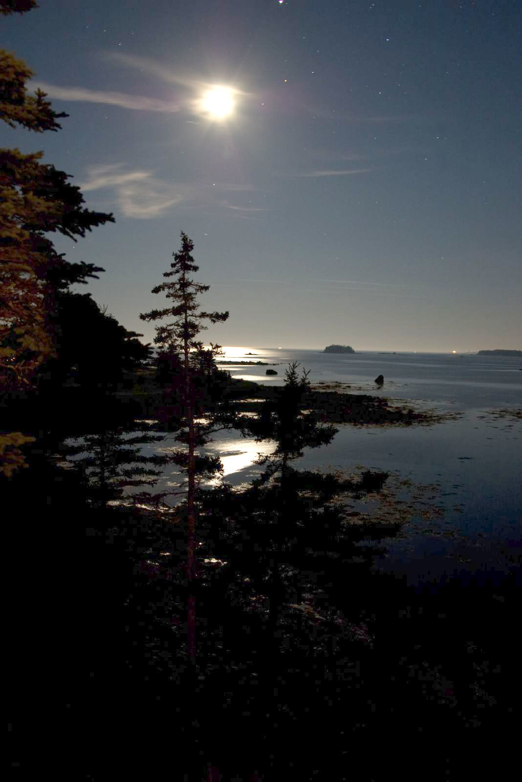
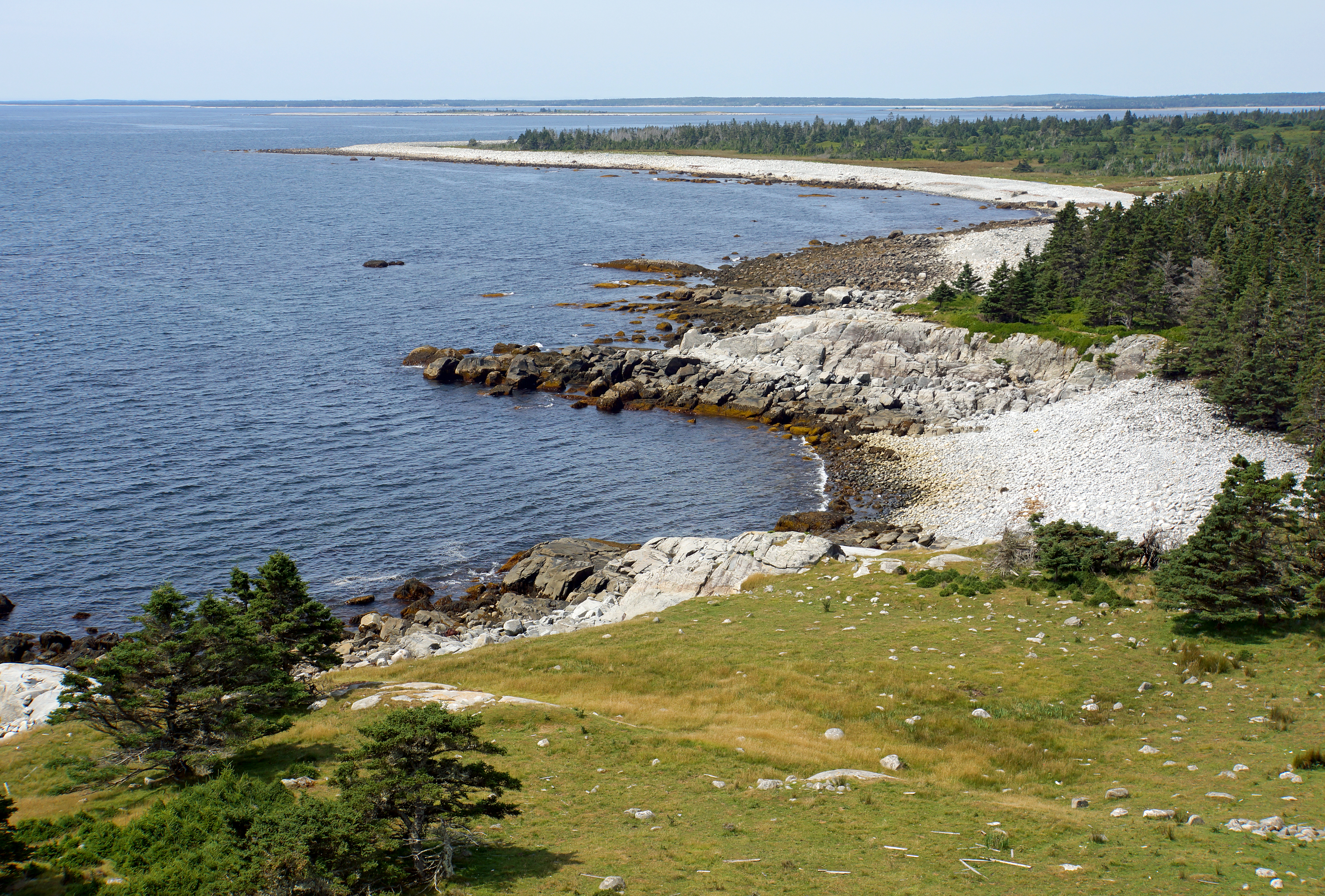
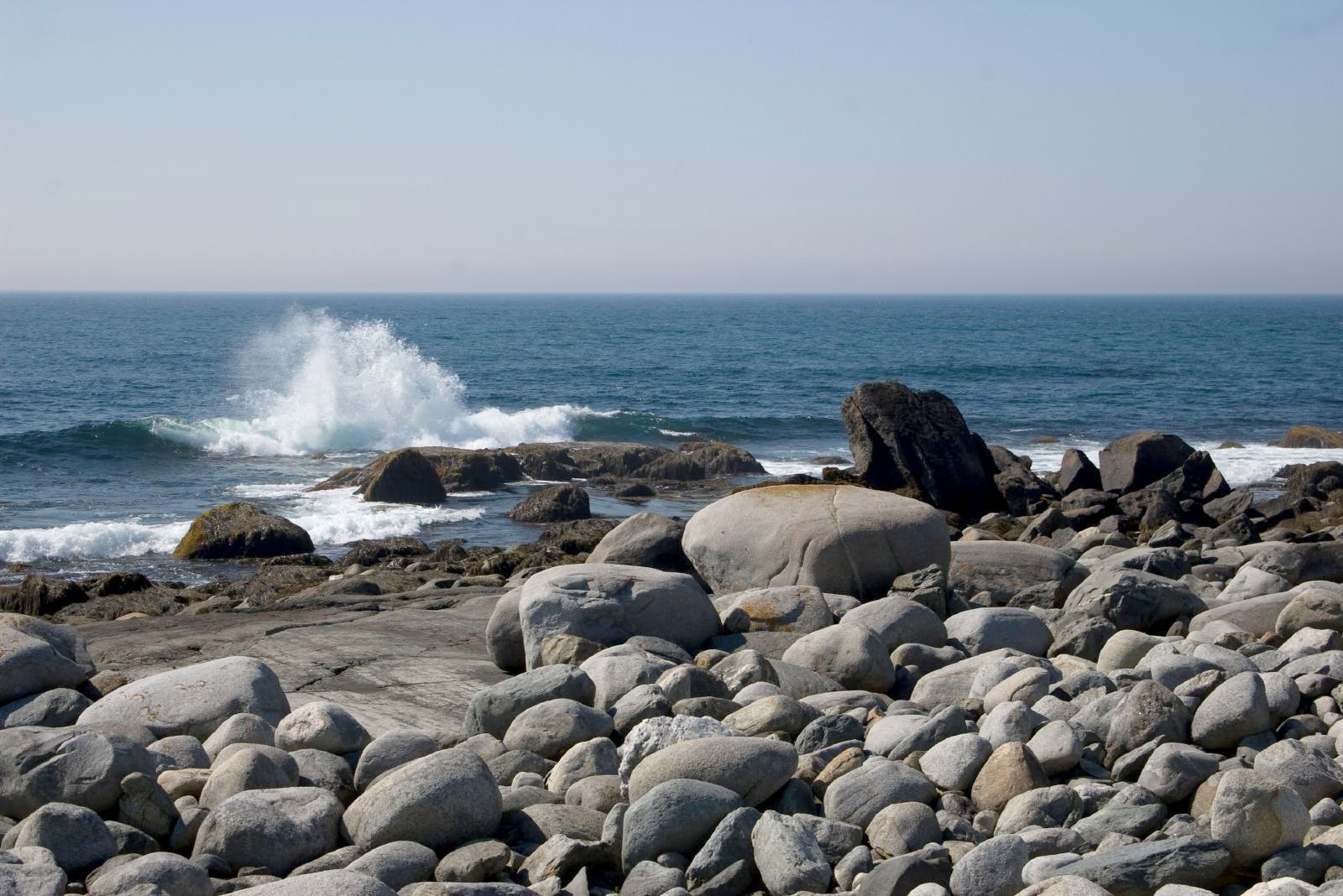
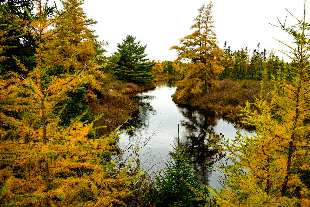
Sunrise & Sunset Photos
IMG_2190 (3)

sunset at the pond
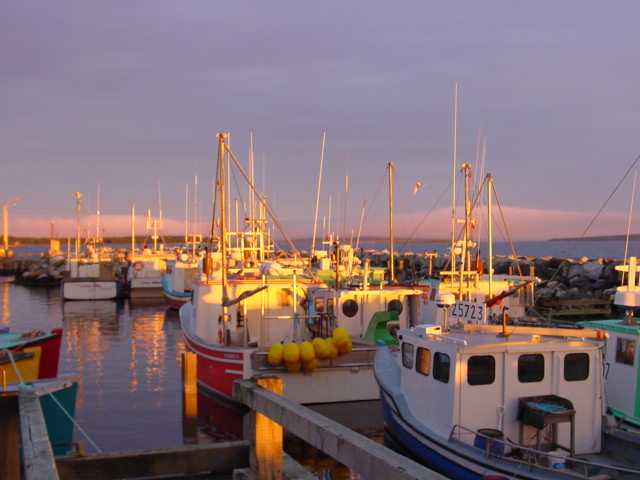
Ingomar boats at sunset 7
DSCN2630 E BB
DSC01378 - Bye to Cape Roseway Lighthouse Station
Eel Bay, Nova Scotia
DSC01295 - Coastline of McNutt's Island
Baccaro, Nova Scotia
almost late

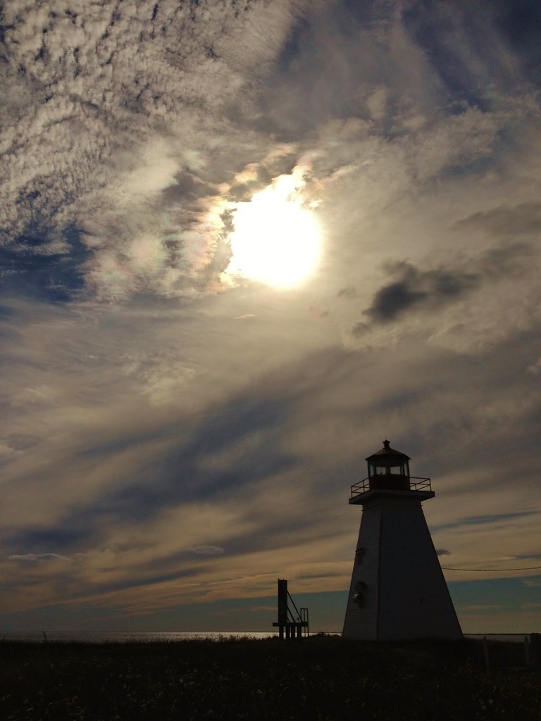
McNutt's Island - Cape Roseway Lighthouse 2010
McNutt's Island 2010

Northern Harrier

Arctic Tern

Arctic Tern

Arctic Tern

©C.R.Hill 20150419_C2H3682

©C.R.Hill 20150419_C2H3693
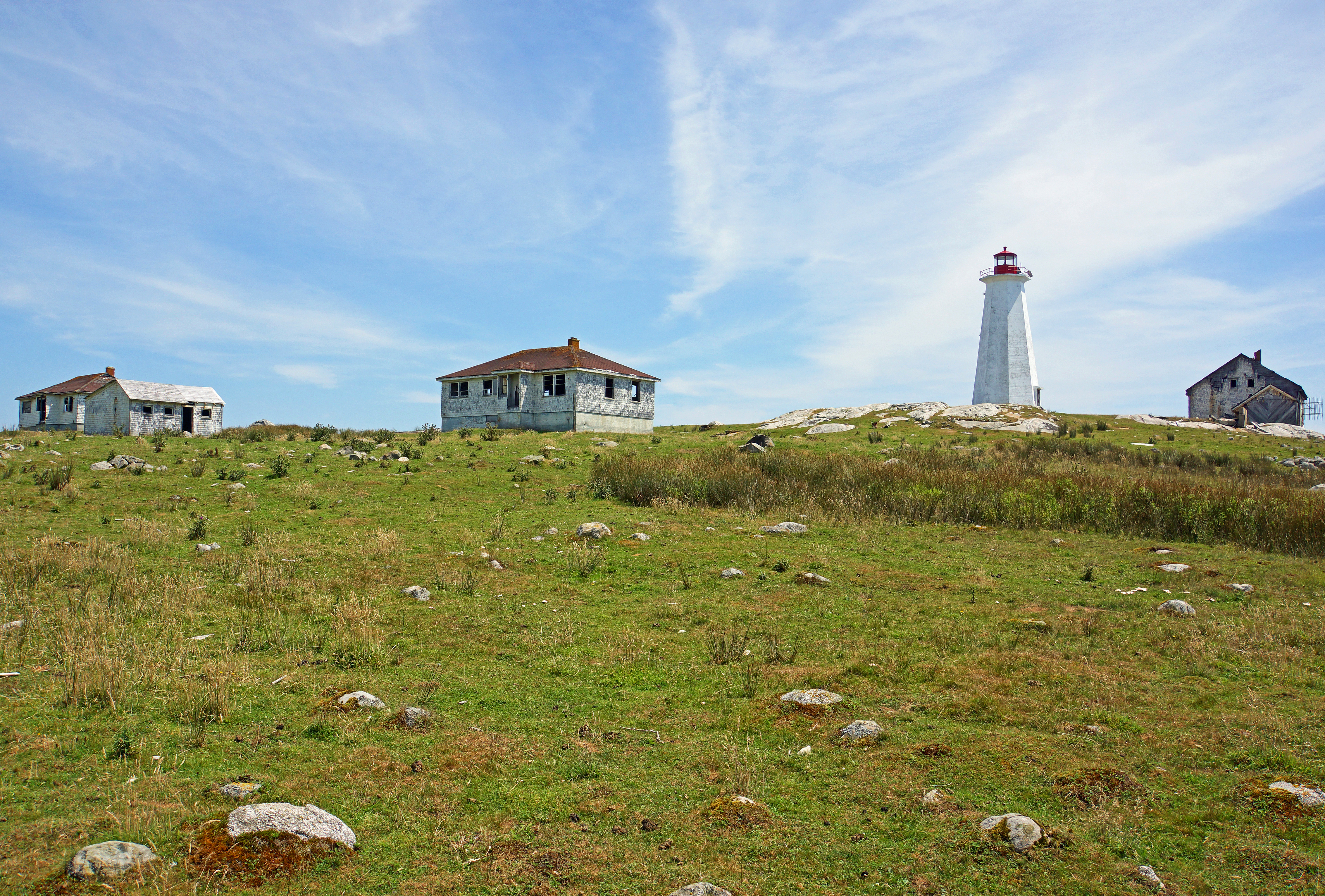
Sandy Point Lighthouse
Barrington, NS
Barrington Mill

McNutt's Island Swimming Pool 2010

McNutt's Island - Cape Roseway 2010

McNutt's Island Gun Muzzle 2010

McNutt's Island Gun 2 2010

Sandy Point Lighthouse 2012

McNutt's Island Gun 2010

McNutt's Island Rock Carvings 2010
Shore Rd, Shelburne, NS B0T 1W0, Canada Map
Search another place
Near Places
Port Latour Rd, Barrington, NS B0W 1E0, Canada
42 John Howard Rd, Barrington, NS B0W 1E0, Canada
Barrington, NS, Canada
78 Bull Head Rd, Barrington, NS B0W 1E0, Canada
Sherose Island Rd, Barrington, NS B0W 1E0, Canada
Oak Park Rd, Barrington, NS B0W 1E0, Canada
Nova Scotia Trunk 3, Barrington Passage, NS B0W 1G0, Canada
Barrington Passage, NS B0W, Canada
Centreville Road, Centreville Rd, Barrington, NS B0W 1P0, Canada
Centreville, NS B0W 1N0, Canada
Oak Park Rd, Barrington, NS B0W 1E0, Canada
40 Bruce St, Clark's Harbour, NS B0W 1P0, Canada
Hawk Point Rd, Clark's Harbour, NS B0W 1P0, Canada
Bear Point Rd, Barrington, NS B0W 3B0, Canada
Clark's Harbour, NS, Canada
Nova Scotia Trunk 3, Lower East Pubnico, NS B0W 2A0, Canada
Nova Scotia Trunk 3, Lower East Pubnico, NS B0W 2A0, Canada
Nova Scotia Trunk 3, Lower East Pubnico, NS B0W 2A0, Canada
Nova Scotia Trunk 3, Lower East Pubnico, NS B0W 2A0, Canada
Recent Searches
- Sunrise Sunset Times of Red Dog Mine, AK, USA
- Sunrise Sunset Times of Am Bahnhof, Am bhf, Borken, Germany
- Sunrise Sunset Times of 4th St E, Sonoma, CA, USA
- Sunrise Sunset Times of Oakland Ave, Williamsport, PA, USA
- Sunrise Sunset Times of Via Roma, Pieranica CR, Italy
- Sunrise Sunset Times of Clock Tower of Dubrovnik, Grad, Dubrovnik, Croatia
- Sunrise Sunset Times of Trelew, Chubut Province, Argentina
- Sunrise Sunset Times of Hartfords Bluff Cir, Mt Pleasant, SC, USA
- Sunrise Sunset Times of Kita Ward, Kumamoto, Japan
- Sunrise Sunset Times of Pingtan Island, Pingtan County, Fuzhou, China