Sunrise Sunset Times of River Ridge Trail, Walsenburg, CO, USA
Location: United States > Colorado > Huerfano County > Walsenburg >
Timezone:
America/Denver
Current Time:
2025-07-02 12:07:50
Longitude:
-104.8832611
Latitude:
37.5565772
Sunrise Today:
05:43:19 AM
Sunset Today:
08:24:33 PM
Daylength Today:
14h 41m 14s
Sunrise Tomorrow:
05:43:51 AM
Sunset Tomorrow:
08:24:22 PM
Daylength Tomorrow:
14h 40m 31s
Year Show All Dates
| Date | Sunrise | Sunset | Daylength |
|---|---|---|---|
| 01/01/2025 | 07:14:26 AM | 04:53:00 PM | 9h 38m 34s |
| 01/02/2025 | 07:14:31 AM | 04:53:50 PM | 9h 39m 19s |
| 01/03/2025 | 07:14:34 AM | 04:54:41 PM | 9h 40m 7s |
| 01/04/2025 | 07:14:35 AM | 04:55:33 PM | 9h 40m 58s |
| 01/05/2025 | 07:14:35 AM | 04:56:27 PM | 9h 41m 52s |
| 01/06/2025 | 07:14:32 AM | 04:57:21 PM | 9h 42m 49s |
| 01/07/2025 | 07:14:27 AM | 04:58:17 PM | 9h 43m 50s |
| 01/08/2025 | 07:14:20 AM | 04:59:13 PM | 9h 44m 53s |
| 01/09/2025 | 07:14:11 AM | 05:00:11 PM | 9h 46m 0s |
| 01/10/2025 | 07:14:00 AM | 05:01:09 PM | 9h 47m 9s |
| 01/11/2025 | 07:13:46 AM | 05:02:09 PM | 9h 48m 23s |
| 01/12/2025 | 07:13:31 AM | 05:03:09 PM | 9h 49m 38s |
| 01/13/2025 | 07:13:14 AM | 05:04:09 PM | 9h 50m 55s |
| 01/14/2025 | 07:12:55 AM | 05:05:11 PM | 9h 52m 16s |
| 01/15/2025 | 07:12:33 AM | 05:06:13 PM | 9h 53m 40s |
| 01/16/2025 | 07:12:10 AM | 05:07:16 PM | 9h 55m 6s |
| 01/17/2025 | 07:11:45 AM | 05:08:19 PM | 9h 56m 34s |
| 01/18/2025 | 07:11:18 AM | 05:09:23 PM | 9h 58m 5s |
| 01/19/2025 | 07:10:49 AM | 05:10:27 PM | 9h 59m 38s |
| 01/20/2025 | 07:10:18 AM | 05:11:32 PM | 10h 1m 14s |
| 01/21/2025 | 07:09:45 AM | 05:12:37 PM | 10h 2m 52s |
| 01/22/2025 | 07:09:10 AM | 05:13:42 PM | 10h 4m 32s |
| 01/23/2025 | 07:08:33 AM | 05:14:48 PM | 10h 6m 15s |
| 01/24/2025 | 07:07:55 AM | 05:15:54 PM | 10h 7m 59s |
| 01/25/2025 | 07:07:14 AM | 05:17:00 PM | 10h 9m 46s |
| 01/26/2025 | 07:06:32 AM | 05:18:06 PM | 10h 11m 34s |
| 01/27/2025 | 07:05:49 AM | 05:19:12 PM | 10h 13m 23s |
| 01/28/2025 | 07:05:03 AM | 05:20:19 PM | 10h 15m 16s |
| 01/29/2025 | 07:04:16 AM | 05:21:25 PM | 10h 17m 9s |
| 01/30/2025 | 07:03:27 AM | 05:22:32 PM | 10h 19m 5s |
| 01/31/2025 | 07:02:36 AM | 05:23:38 PM | 10h 21m 2s |
| 02/01/2025 | 07:01:44 AM | 05:24:45 PM | 10h 23m 1s |
| 02/02/2025 | 07:00:51 AM | 05:25:51 PM | 10h 25m 0s |
| 02/03/2025 | 06:59:55 AM | 05:26:58 PM | 10h 27m 3s |
| 02/04/2025 | 06:58:59 AM | 05:28:04 PM | 10h 29m 5s |
| 02/05/2025 | 06:58:00 AM | 05:29:10 PM | 10h 31m 10s |
| 02/06/2025 | 06:57:01 AM | 05:30:16 PM | 10h 33m 15s |
| 02/07/2025 | 06:56:00 AM | 05:31:22 PM | 10h 35m 22s |
| 02/08/2025 | 06:54:57 AM | 05:32:27 PM | 10h 37m 30s |
| 02/09/2025 | 06:53:54 AM | 05:33:33 PM | 10h 39m 39s |
| 02/10/2025 | 06:52:48 AM | 05:34:38 PM | 10h 41m 50s |
| 02/11/2025 | 06:51:42 AM | 05:35:43 PM | 10h 44m 1s |
| 02/12/2025 | 06:50:35 AM | 05:36:48 PM | 10h 46m 13s |
| 02/13/2025 | 06:49:26 AM | 05:37:52 PM | 10h 48m 26s |
| 02/14/2025 | 06:48:16 AM | 05:38:56 PM | 10h 50m 40s |
| 02/15/2025 | 06:47:05 AM | 05:40:00 PM | 10h 52m 55s |
| 02/16/2025 | 06:45:52 AM | 05:41:04 PM | 10h 55m 12s |
| 02/17/2025 | 06:44:39 AM | 05:42:07 PM | 10h 57m 28s |
| 02/18/2025 | 06:43:25 AM | 05:43:10 PM | 10h 59m 45s |
| 02/19/2025 | 06:42:09 AM | 05:44:12 PM | 11h 2m 3s |
| 02/20/2025 | 06:40:53 AM | 05:45:15 PM | 11h 4m 22s |
| 02/21/2025 | 06:39:35 AM | 05:46:17 PM | 11h 6m 42s |
| 02/22/2025 | 06:38:17 AM | 05:47:18 PM | 11h 9m 1s |
| 02/23/2025 | 06:36:58 AM | 05:48:20 PM | 11h 11m 22s |
| 02/24/2025 | 06:35:38 AM | 05:49:21 PM | 11h 13m 43s |
| 02/25/2025 | 06:34:17 AM | 05:50:21 PM | 11h 16m 4s |
| 02/26/2025 | 06:32:56 AM | 05:51:22 PM | 11h 18m 26s |
| 02/27/2025 | 06:31:34 AM | 05:52:22 PM | 11h 20m 48s |
| 02/28/2025 | 06:30:11 AM | 05:53:22 PM | 11h 23m 11s |
| 03/01/2025 | 06:28:47 AM | 05:54:21 PM | 11h 25m 34s |
| 03/02/2025 | 06:27:23 AM | 05:55:20 PM | 11h 27m 57s |
| 03/03/2025 | 06:25:58 AM | 05:56:19 PM | 11h 30m 21s |
| 03/04/2025 | 06:24:32 AM | 05:57:18 PM | 11h 32m 46s |
| 03/05/2025 | 06:23:06 AM | 05:58:16 PM | 11h 35m 10s |
| 03/06/2025 | 06:21:39 AM | 05:59:14 PM | 11h 37m 35s |
| 03/07/2025 | 06:20:12 AM | 06:00:12 PM | 11h 40m 0s |
| 03/08/2025 | 06:18:45 AM | 06:01:09 PM | 11h 42m 24s |
| 03/09/2025 | 07:17:20 AM | 07:02:04 PM | 11h 44m 44s |
| 03/10/2025 | 07:15:52 AM | 07:03:01 PM | 11h 47m 9s |
| 03/11/2025 | 07:14:23 AM | 07:03:58 PM | 11h 49m 35s |
| 03/12/2025 | 07:12:54 AM | 07:04:54 PM | 11h 52m 0s |
| 03/13/2025 | 07:11:25 AM | 07:05:51 PM | 11h 54m 26s |
| 03/14/2025 | 07:09:55 AM | 07:06:47 PM | 11h 56m 52s |
| 03/15/2025 | 07:08:25 AM | 07:07:43 PM | 11h 59m 18s |
| 03/16/2025 | 07:06:55 AM | 07:08:38 PM | 12h 1m 43s |
| 03/17/2025 | 07:05:24 AM | 07:09:34 PM | 12h 4m 10s |
| 03/18/2025 | 07:03:54 AM | 07:10:29 PM | 12h 6m 35s |
| 03/19/2025 | 07:02:23 AM | 07:11:24 PM | 12h 9m 1s |
| 03/20/2025 | 07:00:53 AM | 07:12:20 PM | 12h 11m 27s |
| 03/21/2025 | 06:59:22 AM | 07:13:14 PM | 12h 13m 52s |
| 03/22/2025 | 06:57:51 AM | 07:14:09 PM | 12h 16m 18s |
| 03/23/2025 | 06:56:20 AM | 07:15:04 PM | 12h 18m 44s |
| 03/24/2025 | 06:54:49 AM | 07:15:59 PM | 12h 21m 10s |
| 03/25/2025 | 06:53:18 AM | 07:16:53 PM | 12h 23m 35s |
| 03/26/2025 | 06:51:48 AM | 07:17:48 PM | 12h 26m 0s |
| 03/27/2025 | 06:50:17 AM | 07:18:42 PM | 12h 28m 25s |
| 03/28/2025 | 06:48:47 AM | 07:19:36 PM | 12h 30m 49s |
| 03/29/2025 | 06:47:17 AM | 07:20:31 PM | 12h 33m 14s |
| 03/30/2025 | 06:45:47 AM | 07:21:25 PM | 12h 35m 38s |
| 03/31/2025 | 06:44:17 AM | 07:22:19 PM | 12h 38m 2s |
| 04/01/2025 | 06:42:47 AM | 07:23:13 PM | 12h 40m 26s |
| 04/02/2025 | 06:41:18 AM | 07:24:07 PM | 12h 42m 49s |
| 04/03/2025 | 06:39:49 AM | 07:25:02 PM | 12h 45m 13s |
| 04/04/2025 | 06:38:20 AM | 07:25:56 PM | 12h 47m 36s |
| 04/05/2025 | 06:36:52 AM | 07:26:50 PM | 12h 49m 58s |
| 04/06/2025 | 06:35:24 AM | 07:27:44 PM | 12h 52m 20s |
| 04/07/2025 | 06:33:57 AM | 07:28:38 PM | 12h 54m 41s |
| 04/08/2025 | 06:32:30 AM | 07:29:32 PM | 12h 57m 2s |
| 04/09/2025 | 06:31:04 AM | 07:30:27 PM | 12h 59m 23s |
| 04/10/2025 | 06:29:38 AM | 07:31:21 PM | 13h 1m 43s |
| 04/11/2025 | 06:28:13 AM | 07:32:15 PM | 13h 4m 2s |
| 04/12/2025 | 06:26:48 AM | 07:33:10 PM | 13h 6m 22s |
| 04/13/2025 | 06:25:24 AM | 07:34:04 PM | 13h 8m 40s |
| 04/14/2025 | 06:24:00 AM | 07:34:59 PM | 13h 10m 59s |
| 04/15/2025 | 06:22:38 AM | 07:35:53 PM | 13h 13m 15s |
| 04/16/2025 | 06:21:16 AM | 07:36:48 PM | 13h 15m 32s |
| 04/17/2025 | 06:19:54 AM | 07:37:42 PM | 13h 17m 48s |
| 04/18/2025 | 06:18:34 AM | 07:38:37 PM | 13h 20m 3s |
| 04/19/2025 | 06:17:14 AM | 07:39:31 PM | 13h 22m 17s |
| 04/20/2025 | 06:15:55 AM | 07:40:26 PM | 13h 24m 31s |
| 04/21/2025 | 06:14:37 AM | 07:41:21 PM | 13h 26m 44s |
| 04/22/2025 | 06:13:20 AM | 07:42:16 PM | 13h 28m 56s |
| 04/23/2025 | 06:12:04 AM | 07:43:10 PM | 13h 31m 6s |
| 04/24/2025 | 06:10:48 AM | 07:44:05 PM | 13h 33m 17s |
| 04/25/2025 | 06:09:34 AM | 07:45:00 PM | 13h 35m 26s |
| 04/26/2025 | 06:08:21 AM | 07:45:55 PM | 13h 37m 34s |
| 04/27/2025 | 06:07:08 AM | 07:46:49 PM | 13h 39m 41s |
| 04/28/2025 | 06:05:57 AM | 07:47:44 PM | 13h 41m 47s |
| 04/29/2025 | 06:04:47 AM | 07:48:39 PM | 13h 43m 52s |
| 04/30/2025 | 06:03:38 AM | 07:49:33 PM | 13h 45m 55s |
| 05/01/2025 | 06:02:30 AM | 07:50:28 PM | 13h 47m 58s |
| 05/02/2025 | 06:01:24 AM | 07:51:22 PM | 13h 49m 58s |
| 05/03/2025 | 06:00:18 AM | 07:52:17 PM | 13h 51m 59s |
| 05/04/2025 | 05:59:14 AM | 07:53:11 PM | 13h 53m 57s |
| 05/05/2025 | 05:58:11 AM | 07:54:05 PM | 13h 55m 54s |
| 05/06/2025 | 05:57:09 AM | 07:54:59 PM | 13h 57m 50s |
| 05/07/2025 | 05:56:09 AM | 07:55:52 PM | 13h 59m 43s |
| 05/08/2025 | 05:55:10 AM | 07:56:46 PM | 14h 1m 36s |
| 05/09/2025 | 05:54:13 AM | 07:57:39 PM | 14h 3m 26s |
| 05/10/2025 | 05:53:16 AM | 07:58:32 PM | 14h 5m 16s |
| 05/11/2025 | 05:52:22 AM | 07:59:25 PM | 14h 7m 3s |
| 05/12/2025 | 05:51:28 AM | 08:00:17 PM | 14h 8m 49s |
| 05/13/2025 | 05:50:37 AM | 08:01:09 PM | 14h 10m 32s |
| 05/14/2025 | 05:49:46 AM | 08:02:01 PM | 14h 12m 15s |
| 05/15/2025 | 05:48:57 AM | 08:02:52 PM | 14h 13m 55s |
| 05/16/2025 | 05:48:10 AM | 08:03:43 PM | 14h 15m 33s |
| 05/17/2025 | 05:47:25 AM | 08:04:34 PM | 14h 17m 9s |
| 05/18/2025 | 05:46:41 AM | 08:05:24 PM | 14h 18m 43s |
| 05/19/2025 | 05:45:58 AM | 08:06:13 PM | 14h 20m 15s |
| 05/20/2025 | 05:45:17 AM | 08:07:02 PM | 14h 21m 45s |
| 05/21/2025 | 05:44:38 AM | 08:07:50 PM | 14h 23m 12s |
| 05/22/2025 | 05:44:01 AM | 08:08:38 PM | 14h 24m 37s |
| 05/23/2025 | 05:43:25 AM | 08:09:25 PM | 14h 26m 0s |
| 05/24/2025 | 05:42:51 AM | 08:10:11 PM | 14h 27m 20s |
| 05/25/2025 | 05:42:18 AM | 08:10:56 PM | 14h 28m 38s |
| 05/26/2025 | 05:41:48 AM | 08:11:41 PM | 14h 29m 53s |
| 05/27/2025 | 05:41:19 AM | 08:12:25 PM | 14h 31m 6s |
| 05/28/2025 | 05:40:51 AM | 08:13:08 PM | 14h 32m 17s |
| 05/29/2025 | 05:40:26 AM | 08:13:50 PM | 14h 33m 24s |
| 05/30/2025 | 05:40:02 AM | 08:14:31 PM | 14h 34m 29s |
| 05/31/2025 | 05:39:41 AM | 08:15:11 PM | 14h 35m 30s |
| 06/01/2025 | 05:39:20 AM | 08:15:51 PM | 14h 36m 31s |
| 06/02/2025 | 05:39:02 AM | 08:16:29 PM | 14h 37m 27s |
| 06/03/2025 | 05:38:46 AM | 08:17:06 PM | 14h 38m 20s |
| 06/04/2025 | 05:38:31 AM | 08:17:42 PM | 14h 39m 11s |
| 06/05/2025 | 05:38:18 AM | 08:18:17 PM | 14h 39m 59s |
| 06/06/2025 | 05:38:07 AM | 08:18:50 PM | 14h 40m 43s |
| 06/07/2025 | 05:37:58 AM | 08:19:23 PM | 14h 41m 25s |
| 06/08/2025 | 05:37:50 AM | 08:19:54 PM | 14h 42m 4s |
| 06/09/2025 | 05:37:44 AM | 08:20:23 PM | 14h 42m 39s |
| 06/10/2025 | 05:37:40 AM | 08:20:52 PM | 14h 43m 12s |
| 06/11/2025 | 05:37:38 AM | 08:21:19 PM | 14h 43m 41s |
| 06/12/2025 | 05:37:38 AM | 08:21:44 PM | 14h 44m 6s |
| 06/13/2025 | 05:37:39 AM | 08:22:09 PM | 14h 44m 30s |
| 06/14/2025 | 05:37:42 AM | 08:22:31 PM | 14h 44m 49s |
| 06/15/2025 | 05:37:47 AM | 08:22:52 PM | 14h 45m 5s |
| 06/16/2025 | 05:37:53 AM | 08:23:12 PM | 14h 45m 19s |
| 06/17/2025 | 05:38:01 AM | 08:23:30 PM | 14h 45m 29s |
| 06/18/2025 | 05:38:11 AM | 08:23:46 PM | 14h 45m 35s |
| 06/19/2025 | 05:38:22 AM | 08:24:01 PM | 14h 45m 39s |
| 06/20/2025 | 05:38:35 AM | 08:24:14 PM | 14h 45m 39s |
| 06/21/2025 | 05:38:50 AM | 08:24:26 PM | 14h 45m 36s |
| 06/22/2025 | 05:39:06 AM | 08:24:36 PM | 14h 45m 30s |
| 06/23/2025 | 05:39:23 AM | 08:24:44 PM | 14h 45m 21s |
| 06/24/2025 | 05:39:43 AM | 08:24:50 PM | 14h 45m 7s |
| 06/25/2025 | 05:40:03 AM | 08:24:55 PM | 14h 44m 52s |
| 06/26/2025 | 05:40:25 AM | 08:24:58 PM | 14h 44m 33s |
| 06/27/2025 | 05:40:49 AM | 08:24:59 PM | 14h 44m 10s |
| 06/28/2025 | 05:41:14 AM | 08:24:58 PM | 14h 43m 44s |
| 06/29/2025 | 05:41:40 AM | 08:24:55 PM | 14h 43m 15s |
| 06/30/2025 | 05:42:07 AM | 08:24:51 PM | 14h 42m 44s |
| 07/01/2025 | 05:42:36 AM | 08:24:45 PM | 14h 42m 9s |
| 07/02/2025 | 05:43:06 AM | 08:24:37 PM | 14h 41m 31s |
| 07/03/2025 | 05:43:38 AM | 08:24:27 PM | 14h 40m 49s |
| 07/04/2025 | 05:44:10 AM | 08:24:15 PM | 14h 40m 5s |
| 07/05/2025 | 05:44:44 AM | 08:24:02 PM | 14h 39m 18s |
| 07/06/2025 | 05:45:18 AM | 08:23:46 PM | 14h 38m 28s |
| 07/07/2025 | 05:45:54 AM | 08:23:29 PM | 14h 37m 35s |
| 07/08/2025 | 05:46:31 AM | 08:23:10 PM | 14h 36m 39s |
| 07/09/2025 | 05:47:08 AM | 08:22:49 PM | 14h 35m 41s |
| 07/10/2025 | 05:47:47 AM | 08:22:27 PM | 14h 34m 40s |
| 07/11/2025 | 05:48:27 AM | 08:22:02 PM | 14h 33m 35s |
| 07/12/2025 | 05:49:07 AM | 08:21:36 PM | 14h 32m 29s |
| 07/13/2025 | 05:49:48 AM | 08:21:08 PM | 14h 31m 20s |
| 07/14/2025 | 05:50:30 AM | 08:20:38 PM | 14h 30m 8s |
| 07/15/2025 | 05:51:13 AM | 08:20:06 PM | 14h 28m 53s |
| 07/16/2025 | 05:51:57 AM | 08:19:33 PM | 14h 27m 36s |
| 07/17/2025 | 05:52:41 AM | 08:18:58 PM | 14h 26m 17s |
| 07/18/2025 | 05:53:26 AM | 08:18:21 PM | 14h 24m 55s |
| 07/19/2025 | 05:54:11 AM | 08:17:42 PM | 14h 23m 31s |
| 07/20/2025 | 05:54:57 AM | 08:17:02 PM | 14h 22m 5s |
| 07/21/2025 | 05:55:43 AM | 08:16:20 PM | 14h 20m 37s |
| 07/22/2025 | 05:56:30 AM | 08:15:37 PM | 14h 19m 7s |
| 07/23/2025 | 05:57:18 AM | 08:14:51 PM | 14h 17m 33s |
| 07/24/2025 | 05:58:06 AM | 08:14:05 PM | 14h 15m 59s |
| 07/25/2025 | 05:58:54 AM | 08:13:16 PM | 14h 14m 22s |
| 07/26/2025 | 05:59:43 AM | 08:12:26 PM | 14h 12m 43s |
| 07/27/2025 | 06:00:32 AM | 08:11:35 PM | 14h 11m 3s |
| 07/28/2025 | 06:01:21 AM | 08:10:42 PM | 14h 9m 21s |
| 07/29/2025 | 06:02:11 AM | 08:09:47 PM | 14h 7m 36s |
| 07/30/2025 | 06:03:01 AM | 08:08:51 PM | 14h 5m 50s |
| 07/31/2025 | 06:03:51 AM | 08:07:53 PM | 14h 4m 2s |
| 08/01/2025 | 06:04:41 AM | 08:06:55 PM | 14h 2m 14s |
| 08/02/2025 | 06:05:31 AM | 08:05:54 PM | 14h 0m 23s |
| 08/03/2025 | 06:06:22 AM | 08:04:53 PM | 13h 58m 31s |
| 08/04/2025 | 06:07:13 AM | 08:03:50 PM | 13h 56m 37s |
| 08/05/2025 | 06:08:04 AM | 08:02:45 PM | 13h 54m 41s |
| 08/06/2025 | 06:08:55 AM | 08:01:40 PM | 13h 52m 45s |
| 08/07/2025 | 06:09:46 AM | 08:00:33 PM | 13h 50m 47s |
| 08/08/2025 | 06:10:37 AM | 07:59:25 PM | 13h 48m 48s |
| 08/09/2025 | 06:11:28 AM | 07:58:15 PM | 13h 46m 47s |
| 08/10/2025 | 06:12:19 AM | 07:57:05 PM | 13h 44m 46s |
| 08/11/2025 | 06:13:10 AM | 07:55:53 PM | 13h 42m 43s |
| 08/12/2025 | 06:14:01 AM | 07:54:41 PM | 13h 40m 40s |
| 08/13/2025 | 06:14:53 AM | 07:53:27 PM | 13h 38m 34s |
| 08/14/2025 | 06:15:44 AM | 07:52:12 PM | 13h 36m 28s |
| 08/15/2025 | 06:16:35 AM | 07:50:56 PM | 13h 34m 21s |
| 08/16/2025 | 06:17:26 AM | 07:49:39 PM | 13h 32m 13s |
| 08/17/2025 | 06:18:17 AM | 07:48:22 PM | 13h 30m 5s |
| 08/18/2025 | 06:19:08 AM | 07:47:03 PM | 13h 27m 55s |
| 08/19/2025 | 06:19:59 AM | 07:45:43 PM | 13h 25m 44s |
| 08/20/2025 | 06:20:50 AM | 07:44:23 PM | 13h 23m 33s |
| 08/21/2025 | 06:21:41 AM | 07:43:01 PM | 13h 21m 20s |
| 08/22/2025 | 06:22:31 AM | 07:41:39 PM | 13h 19m 8s |
| 08/23/2025 | 06:23:22 AM | 07:40:16 PM | 13h 16m 54s |
| 08/24/2025 | 06:24:13 AM | 07:38:52 PM | 13h 14m 39s |
| 08/25/2025 | 06:25:03 AM | 07:37:28 PM | 13h 12m 25s |
| 08/26/2025 | 06:25:54 AM | 07:36:03 PM | 13h 10m 9s |
| 08/27/2025 | 06:26:44 AM | 07:34:37 PM | 13h 7m 53s |
| 08/28/2025 | 06:27:34 AM | 07:33:11 PM | 13h 5m 37s |
| 08/29/2025 | 06:28:25 AM | 07:31:44 PM | 13h 3m 19s |
| 08/30/2025 | 06:29:15 AM | 07:30:16 PM | 13h 1m 1s |
| 08/31/2025 | 06:30:05 AM | 07:28:48 PM | 12h 58m 43s |
| 09/01/2025 | 06:30:55 AM | 07:27:19 PM | 12h 56m 24s |
| 09/02/2025 | 06:31:45 AM | 07:25:50 PM | 12h 54m 5s |
| 09/03/2025 | 06:32:35 AM | 07:24:20 PM | 12h 51m 45s |
| 09/04/2025 | 06:33:25 AM | 07:22:50 PM | 12h 49m 25s |
| 09/05/2025 | 06:34:15 AM | 07:21:20 PM | 12h 47m 5s |
| 09/06/2025 | 06:35:04 AM | 07:19:49 PM | 12h 44m 45s |
| 09/07/2025 | 06:35:54 AM | 07:18:18 PM | 12h 42m 24s |
| 09/08/2025 | 06:36:44 AM | 07:16:46 PM | 12h 40m 2s |
| 09/09/2025 | 06:37:34 AM | 07:15:14 PM | 12h 37m 40s |
| 09/10/2025 | 06:38:24 AM | 07:13:42 PM | 12h 35m 18s |
| 09/11/2025 | 06:39:13 AM | 07:12:10 PM | 12h 32m 57s |
| 09/12/2025 | 06:40:03 AM | 07:10:37 PM | 12h 30m 34s |
| 09/13/2025 | 06:40:53 AM | 07:09:05 PM | 12h 28m 12s |
| 09/14/2025 | 06:41:43 AM | 07:07:32 PM | 12h 25m 49s |
| 09/15/2025 | 06:42:33 AM | 07:05:59 PM | 12h 23m 26s |
| 09/16/2025 | 06:43:23 AM | 07:04:26 PM | 12h 21m 3s |
| 09/17/2025 | 06:44:13 AM | 07:02:53 PM | 12h 18m 40s |
| 09/18/2025 | 06:45:04 AM | 07:01:20 PM | 12h 16m 16s |
| 09/19/2025 | 06:45:54 AM | 06:59:47 PM | 12h 13m 53s |
| 09/20/2025 | 06:46:45 AM | 06:58:14 PM | 12h 11m 29s |
| 09/21/2025 | 06:47:35 AM | 06:56:41 PM | 12h 9m 6s |
| 09/22/2025 | 06:48:26 AM | 06:55:08 PM | 12h 6m 42s |
| 09/23/2025 | 06:49:17 AM | 06:53:35 PM | 12h 4m 18s |
| 09/24/2025 | 06:50:08 AM | 06:52:03 PM | 12h 1m 55s |
| 09/25/2025 | 06:50:59 AM | 06:50:30 PM | 11h 59m 31s |
| 09/26/2025 | 06:51:51 AM | 06:48:58 PM | 11h 57m 7s |
| 09/27/2025 | 06:52:42 AM | 06:47:26 PM | 11h 54m 44s |
| 09/28/2025 | 06:53:34 AM | 06:45:54 PM | 11h 52m 20s |
| 09/29/2025 | 06:54:26 AM | 06:44:23 PM | 11h 49m 57s |
| 09/30/2025 | 06:55:18 AM | 06:42:52 PM | 11h 47m 34s |
| 10/01/2025 | 06:56:11 AM | 06:41:21 PM | 11h 45m 10s |
| 10/02/2025 | 06:57:03 AM | 06:39:51 PM | 11h 42m 48s |
| 10/03/2025 | 06:57:57 AM | 06:38:21 PM | 11h 40m 24s |
| 10/04/2025 | 06:58:50 AM | 06:36:52 PM | 11h 38m 2s |
| 10/05/2025 | 06:59:43 AM | 06:35:23 PM | 11h 35m 40s |
| 10/06/2025 | 07:00:37 AM | 06:33:54 PM | 11h 33m 17s |
| 10/07/2025 | 07:01:31 AM | 06:32:26 PM | 11h 30m 55s |
| 10/08/2025 | 07:02:26 AM | 06:30:59 PM | 11h 28m 33s |
| 10/09/2025 | 07:03:21 AM | 06:29:32 PM | 11h 26m 11s |
| 10/10/2025 | 07:04:16 AM | 06:28:06 PM | 11h 23m 50s |
| 10/11/2025 | 07:05:11 AM | 06:26:41 PM | 11h 21m 30s |
| 10/12/2025 | 07:06:07 AM | 06:25:16 PM | 11h 19m 9s |
| 10/13/2025 | 07:07:03 AM | 06:23:52 PM | 11h 16m 49s |
| 10/14/2025 | 07:07:59 AM | 06:22:29 PM | 11h 14m 30s |
| 10/15/2025 | 07:08:56 AM | 06:21:06 PM | 11h 12m 10s |
| 10/16/2025 | 07:09:53 AM | 06:19:45 PM | 11h 9m 52s |
| 10/17/2025 | 07:10:50 AM | 06:18:24 PM | 11h 7m 34s |
| 10/18/2025 | 07:11:48 AM | 06:17:04 PM | 11h 5m 16s |
| 10/19/2025 | 07:12:46 AM | 06:15:45 PM | 11h 2m 59s |
| 10/20/2025 | 07:13:45 AM | 06:14:27 PM | 11h 0m 42s |
| 10/21/2025 | 07:14:44 AM | 06:13:10 PM | 10h 58m 26s |
| 10/22/2025 | 07:15:43 AM | 06:11:54 PM | 10h 56m 11s |
| 10/23/2025 | 07:16:42 AM | 06:10:39 PM | 10h 53m 57s |
| 10/24/2025 | 07:17:42 AM | 06:09:26 PM | 10h 51m 44s |
| 10/25/2025 | 07:18:42 AM | 06:08:13 PM | 10h 49m 31s |
| 10/26/2025 | 07:19:43 AM | 06:07:01 PM | 10h 47m 18s |
| 10/27/2025 | 07:20:43 AM | 06:05:51 PM | 10h 45m 8s |
| 10/28/2025 | 07:21:45 AM | 06:04:42 PM | 10h 42m 57s |
| 10/29/2025 | 07:22:46 AM | 06:03:34 PM | 10h 40m 48s |
| 10/30/2025 | 07:23:48 AM | 06:02:28 PM | 10h 38m 40s |
| 10/31/2025 | 07:24:49 AM | 06:01:22 PM | 10h 36m 33s |
| 11/01/2025 | 07:25:52 AM | 06:00:18 PM | 10h 34m 26s |
| 11/02/2025 | 06:26:57 AM | 04:59:13 PM | 10h 32m 16s |
| 11/03/2025 | 06:27:59 AM | 04:58:12 PM | 10h 30m 13s |
| 11/04/2025 | 06:29:02 AM | 04:57:13 PM | 10h 28m 11s |
| 11/05/2025 | 06:30:05 AM | 04:56:15 PM | 10h 26m 10s |
| 11/06/2025 | 06:31:08 AM | 04:55:18 PM | 10h 24m 10s |
| 11/07/2025 | 06:32:11 AM | 04:54:23 PM | 10h 22m 12s |
| 11/08/2025 | 06:33:15 AM | 04:53:30 PM | 10h 20m 15s |
| 11/09/2025 | 06:34:18 AM | 04:52:38 PM | 10h 18m 20s |
| 11/10/2025 | 06:35:22 AM | 04:51:48 PM | 10h 16m 26s |
| 11/11/2025 | 06:36:25 AM | 04:51:00 PM | 10h 14m 35s |
| 11/12/2025 | 06:37:29 AM | 04:50:13 PM | 10h 12m 44s |
| 11/13/2025 | 06:38:32 AM | 04:49:28 PM | 10h 10m 56s |
| 11/14/2025 | 06:39:36 AM | 04:48:45 PM | 10h 9m 9s |
| 11/15/2025 | 06:40:39 AM | 04:48:03 PM | 10h 7m 24s |
| 11/16/2025 | 06:41:42 AM | 04:47:23 PM | 10h 5m 41s |
| 11/17/2025 | 06:42:45 AM | 04:46:46 PM | 10h 4m 1s |
| 11/18/2025 | 06:43:48 AM | 04:46:10 PM | 10h 2m 22s |
| 11/19/2025 | 06:44:50 AM | 04:45:36 PM | 10h 0m 46s |
| 11/20/2025 | 06:45:52 AM | 04:45:04 PM | 9h 59m 12s |
| 11/21/2025 | 06:46:54 AM | 04:44:34 PM | 9h 57m 40s |
| 11/22/2025 | 06:47:56 AM | 04:44:05 PM | 9h 56m 9s |
| 11/23/2025 | 06:48:57 AM | 04:43:39 PM | 9h 54m 42s |
| 11/24/2025 | 06:49:57 AM | 04:43:15 PM | 9h 53m 18s |
| 11/25/2025 | 06:50:57 AM | 04:42:53 PM | 9h 51m 56s |
| 11/26/2025 | 06:51:57 AM | 04:42:33 PM | 9h 50m 36s |
| 11/27/2025 | 06:52:55 AM | 04:42:14 PM | 9h 49m 19s |
| 11/28/2025 | 06:53:54 AM | 04:41:58 PM | 9h 48m 4s |
| 11/29/2025 | 06:54:51 AM | 04:41:44 PM | 9h 46m 53s |
| 11/30/2025 | 06:55:48 AM | 04:41:33 PM | 9h 45m 45s |
| 12/01/2025 | 06:56:43 AM | 04:41:23 PM | 9h 44m 40s |
| 12/02/2025 | 06:57:38 AM | 04:41:15 PM | 9h 43m 37s |
| 12/03/2025 | 06:58:32 AM | 04:41:10 PM | 9h 42m 38s |
| 12/04/2025 | 06:59:25 AM | 04:41:06 PM | 9h 41m 41s |
| 12/05/2025 | 07:00:17 AM | 04:41:05 PM | 9h 40m 48s |
| 12/06/2025 | 07:01:08 AM | 04:41:05 PM | 9h 39m 57s |
| 12/07/2025 | 07:01:58 AM | 04:41:08 PM | 9h 39m 10s |
| 12/08/2025 | 07:02:47 AM | 04:41:13 PM | 9h 38m 26s |
| 12/09/2025 | 07:03:34 AM | 04:41:20 PM | 9h 37m 46s |
| 12/10/2025 | 07:04:20 AM | 04:41:29 PM | 9h 37m 9s |
| 12/11/2025 | 07:05:05 AM | 04:41:40 PM | 9h 36m 35s |
| 12/12/2025 | 07:05:48 AM | 04:41:54 PM | 9h 36m 6s |
| 12/13/2025 | 07:06:30 AM | 04:42:09 PM | 9h 35m 39s |
| 12/14/2025 | 07:07:10 AM | 04:42:26 PM | 9h 35m 16s |
| 12/15/2025 | 07:07:49 AM | 04:42:45 PM | 9h 34m 56s |
| 12/16/2025 | 07:08:27 AM | 04:43:06 PM | 9h 34m 39s |
| 12/17/2025 | 07:09:03 AM | 04:43:30 PM | 9h 34m 27s |
| 12/18/2025 | 07:09:37 AM | 04:43:55 PM | 9h 34m 18s |
| 12/19/2025 | 07:10:09 AM | 04:44:22 PM | 9h 34m 13s |
| 12/20/2025 | 07:10:40 AM | 04:44:50 PM | 9h 34m 10s |
| 12/21/2025 | 07:11:09 AM | 04:45:21 PM | 9h 34m 12s |
| 12/22/2025 | 07:11:36 AM | 04:45:54 PM | 9h 34m 18s |
| 12/23/2025 | 07:12:02 AM | 04:46:28 PM | 9h 34m 26s |
| 12/24/2025 | 07:12:25 AM | 04:47:04 PM | 9h 34m 39s |
| 12/25/2025 | 07:12:47 AM | 04:47:41 PM | 9h 34m 54s |
| 12/26/2025 | 07:13:07 AM | 04:48:21 PM | 9h 35m 14s |
| 12/27/2025 | 07:13:24 AM | 04:49:02 PM | 9h 35m 38s |
| 12/28/2025 | 07:13:40 AM | 04:49:44 PM | 9h 36m 4s |
| 12/29/2025 | 07:13:54 AM | 04:50:28 PM | 9h 36m 34s |
| 12/30/2025 | 07:14:06 AM | 04:51:13 PM | 9h 37m 7s |
| 12/31/2025 | 07:14:16 AM | 04:52:00 PM | 9h 37m 44s |
Sunrise & Sunset Photos
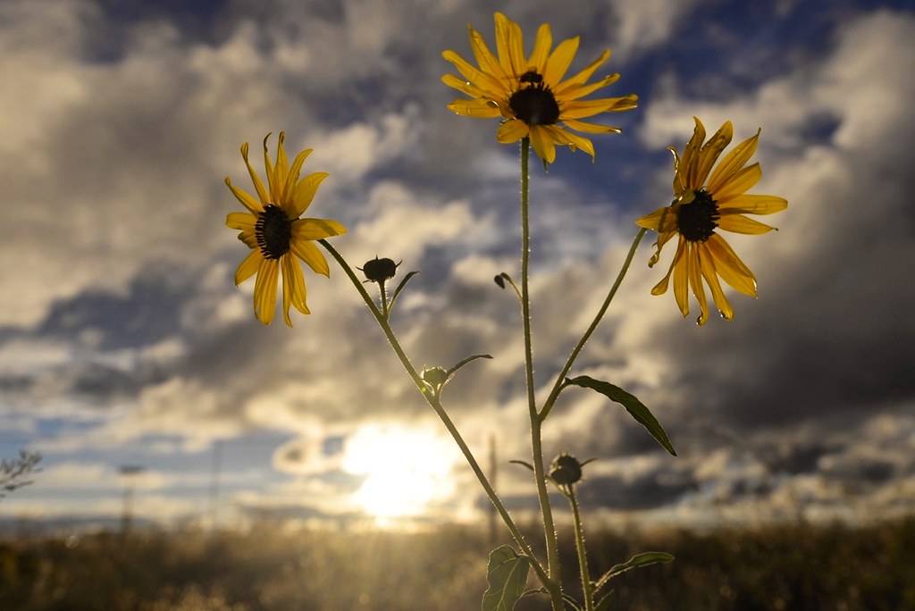
Sunflower sunset
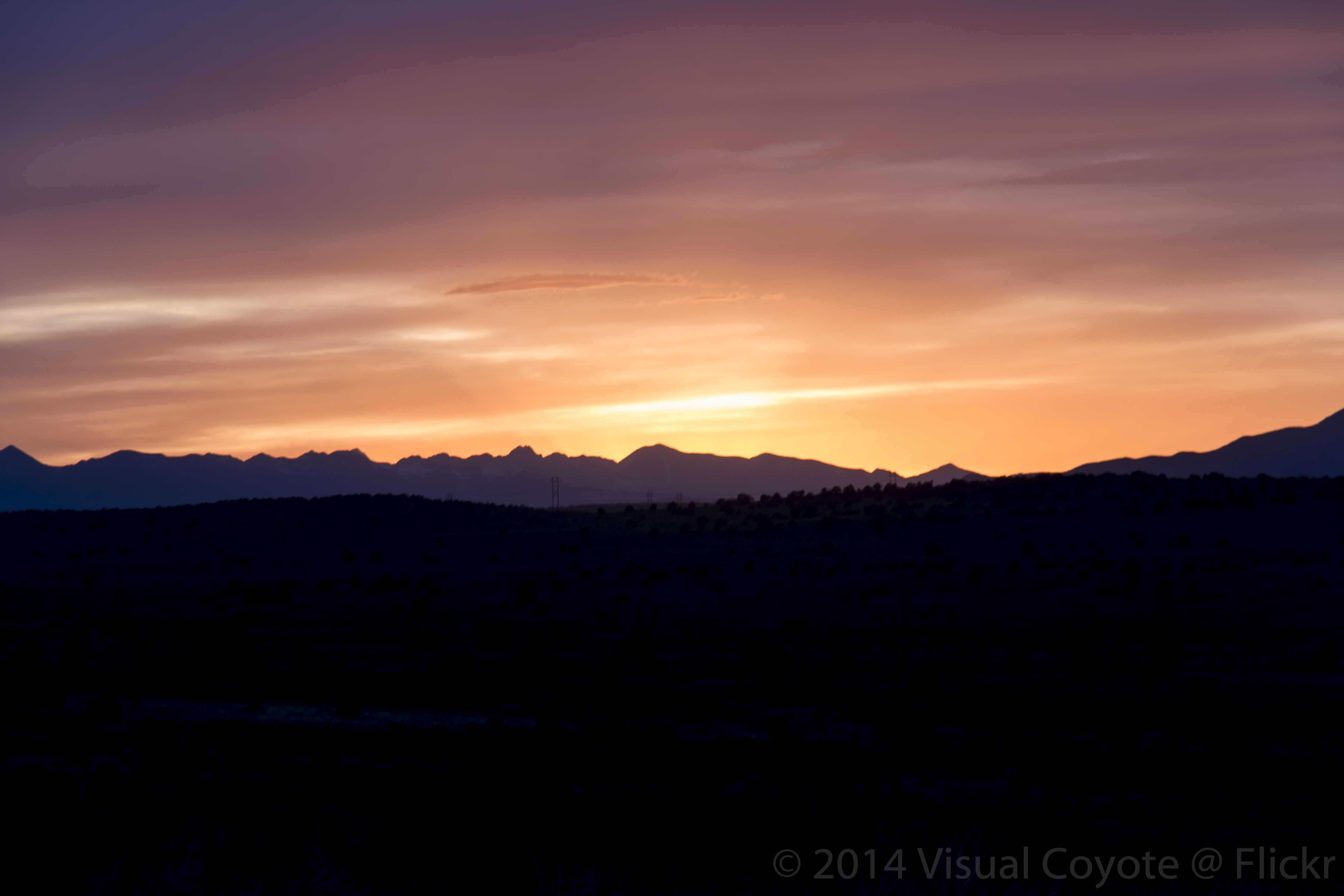
Colorado Sunset

Gorgeous sunset I drove into in southern Colorado two nights ago.
Walsen Ave. Walsenburg, CO.
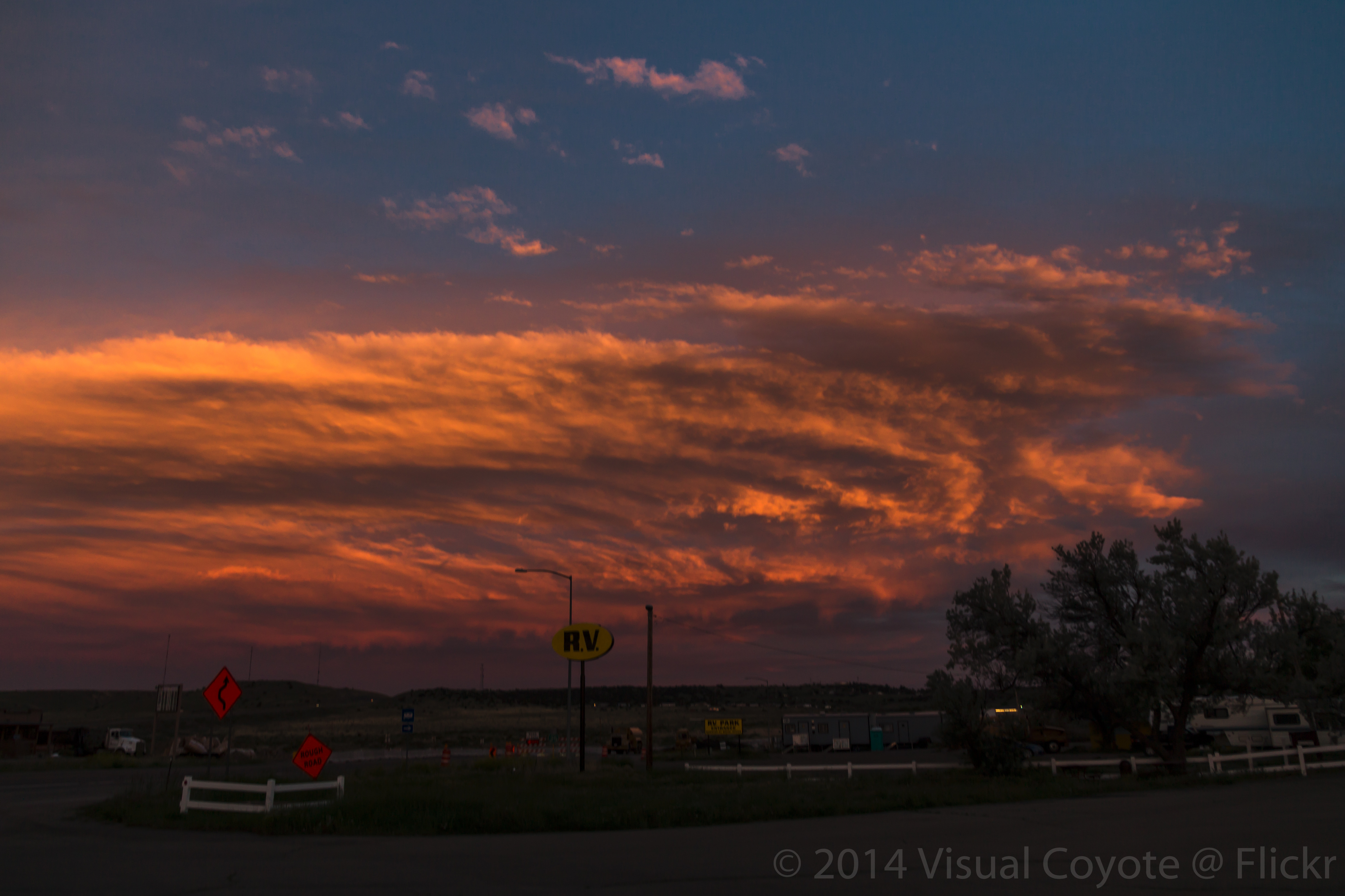
Sunset Cloud
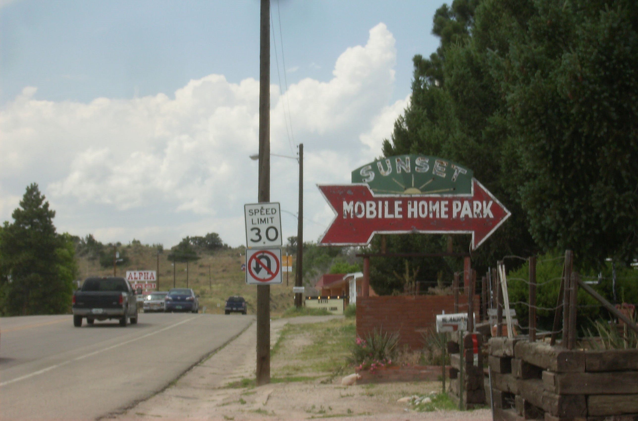
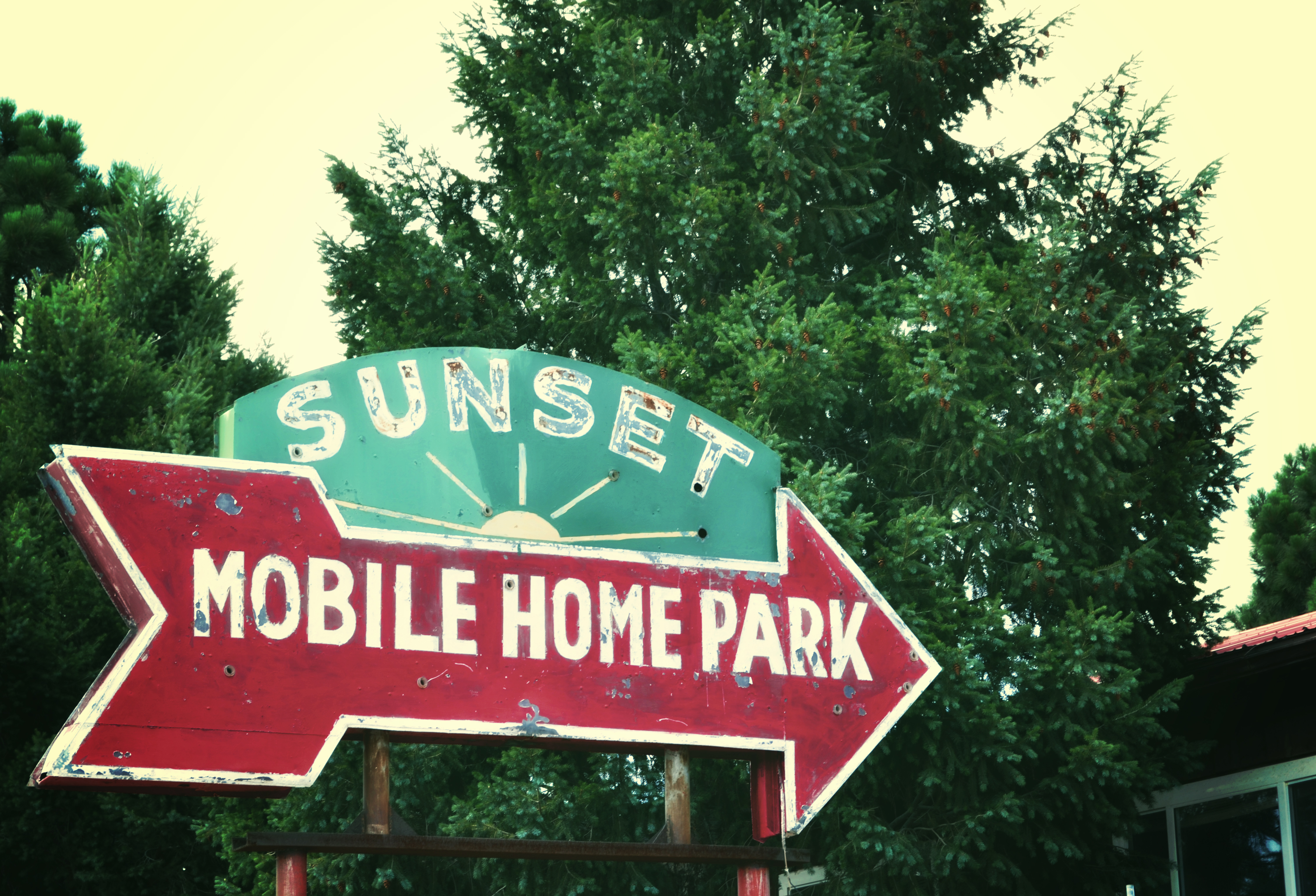
Sunset Mobile Home Park
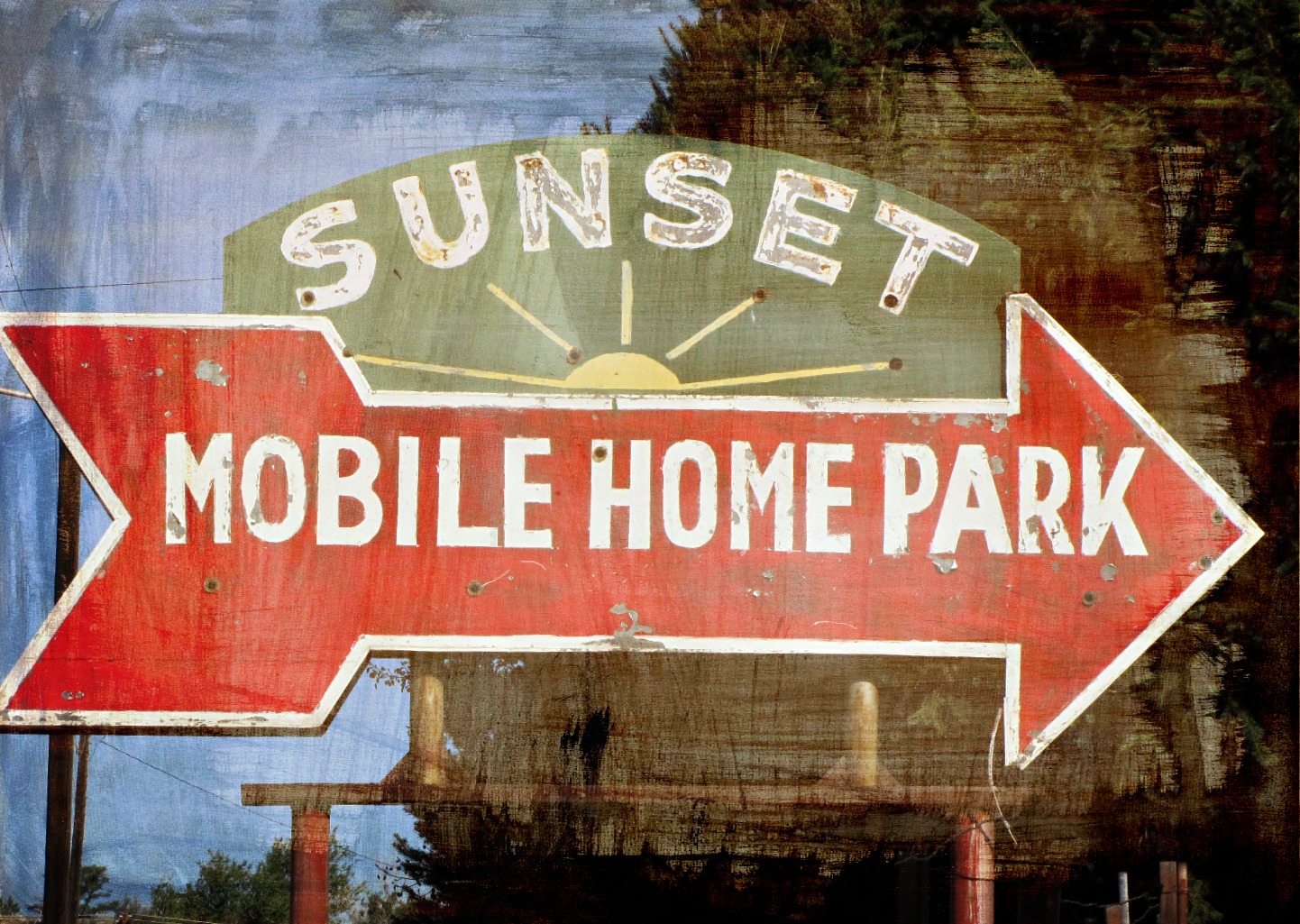
Sunset Mobile Home Park
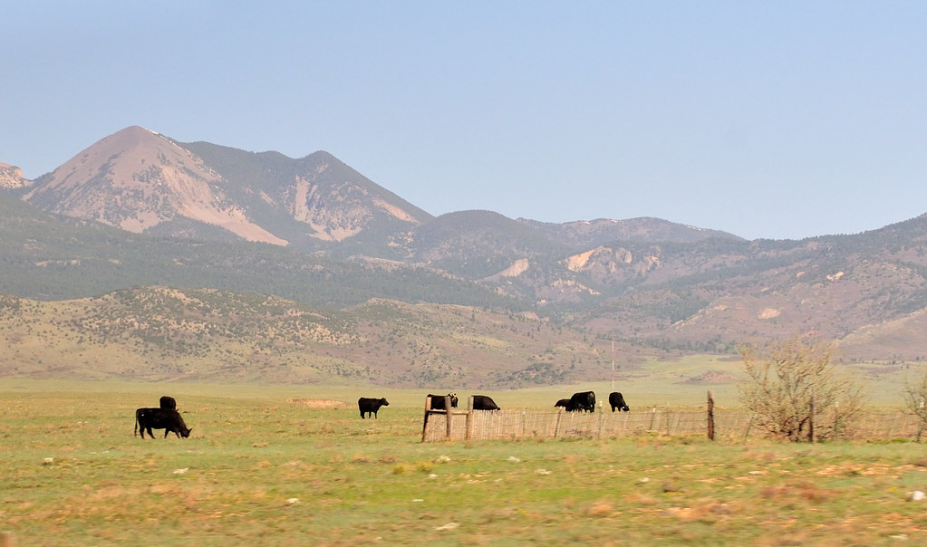
East Spanish Peak
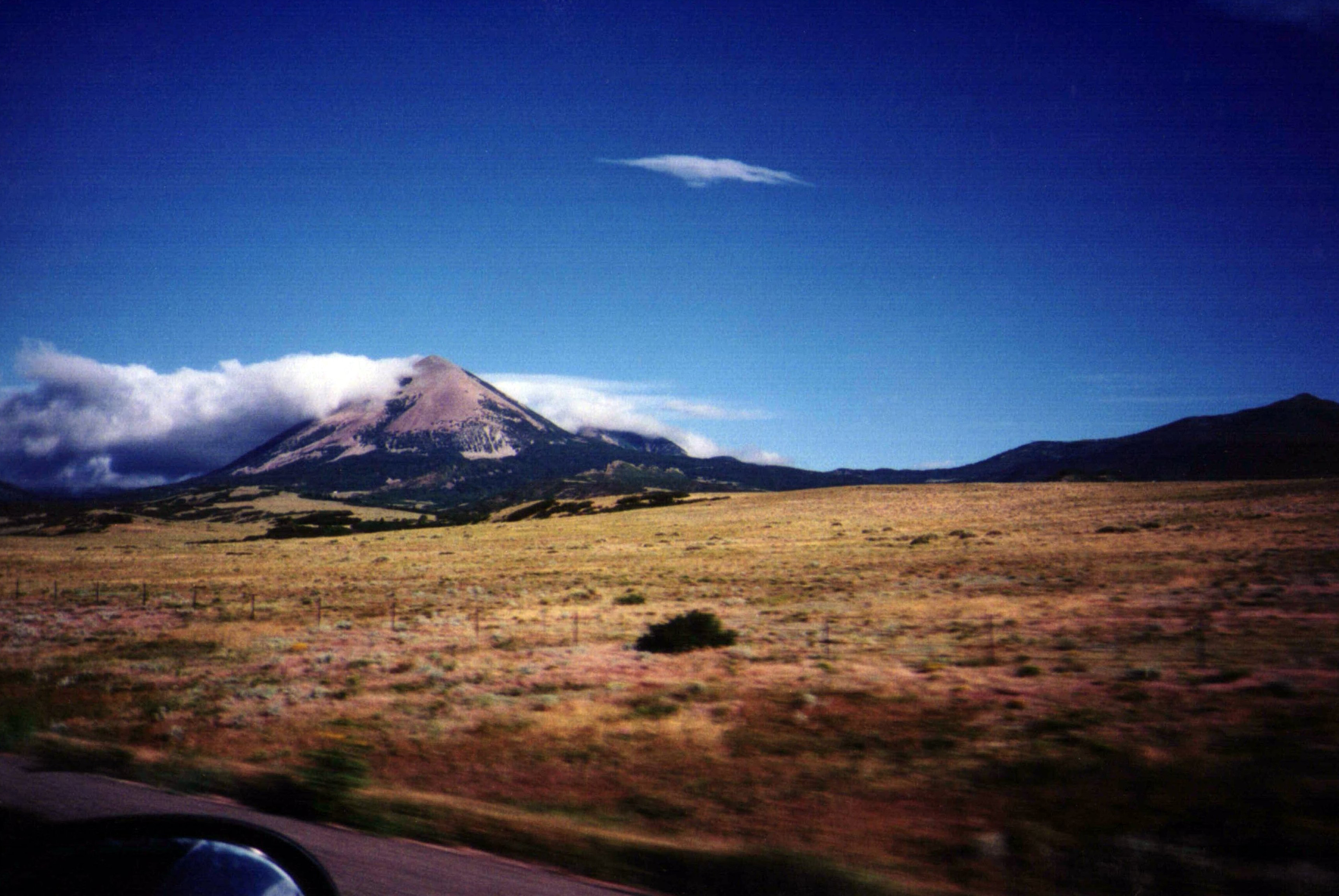
Southern Rockies

Deer in the backyard

Spanish Peaks

Trinchera Peak from U.S. Highway 160
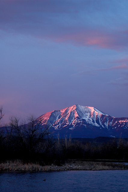
Mt Mestas, 11200 ft
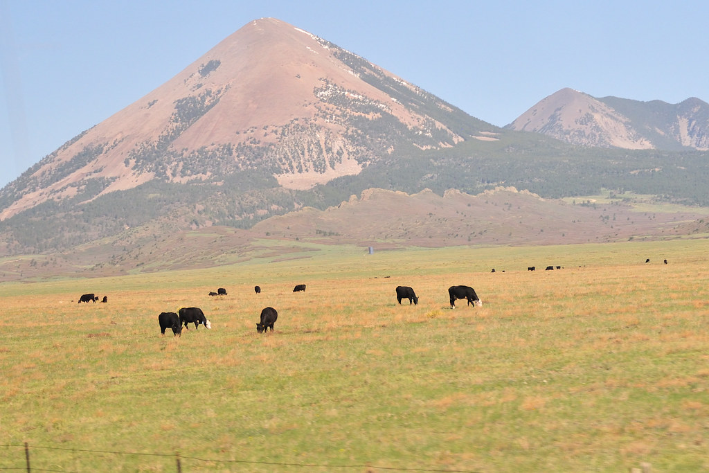
Mt Mestas, 11200 ft
River Ridge Trail, Walsenburg, CO, USA Map
Search another place
Near Places
Big Horn Drive, Big Horn Dr, Colorado, USA
20 Moose Trail, Walsenburg, CO, USA
Elk Trail, Walsenburg, CO, USA
91 Bear Trail, Walsenburg, CO, USA
88 Buffalo Dr N, Walsenburg, CO, USA
25 Gibson Peak Ct, Walsenburg, CO, USA
Bear Ridge Rd, Walsenburg, CO, USA
Vega Rd, Walsenburg, CO, USA
Indian Creek Rd, Walsenburg, CO, USA
Lathrop State Park, 70 Co Rd, Walsenburg, CO, USA
Huerfano County, CO, USA
Seneca Cir, Walsenburg, CO, USA
Cherokee Dr, Walsenburg, CO, USA
Raspberry Mountain Ranch, Mountain Valley Rd, La Veta, CO, USA
25 Apache Dr, Walsenburg, CO, USA
County Rd, La Veta, CO, USA
Bear Ridge Ranch, - Co Rd, Walsenburg, CO, USA
Boot Ct, Walsenburg, CO, USA
Rope Ct, Walsenburg, CO, USA
Arrowhead Dr, La Veta, CO, USA
Recent Searches
- Sunrise Sunset Times of Red Dog Mine, AK, USA
- Sunrise Sunset Times of Am Bahnhof, Am bhf, Borken, Germany
- Sunrise Sunset Times of 4th St E, Sonoma, CA, USA
- Sunrise Sunset Times of Oakland Ave, Williamsport, PA, USA
- Sunrise Sunset Times of Via Roma, Pieranica CR, Italy
- Sunrise Sunset Times of Clock Tower of Dubrovnik, Grad, Dubrovnik, Croatia
- Sunrise Sunset Times of Trelew, Chubut Province, Argentina
- Sunrise Sunset Times of Hartfords Bluff Cir, Mt Pleasant, SC, USA
- Sunrise Sunset Times of Kita Ward, Kumamoto, Japan
- Sunrise Sunset Times of Pingtan Island, Pingtan County, Fuzhou, China