Sunrise Sunset Times of Ragged Mountain Rd, Clearville, PA, USA
Location: United States > Pennsylvania > Bedford County >
Timezone:
America/New_York
Current Time:
2025-06-24 21:21:43
Longitude:
-78.4587356
Latitude:
39.8008751
Sunrise Today:
05:47:08 AM
Sunset Today:
08:46:10 PM
Daylength Today:
14h 59m 2s
Sunrise Tomorrow:
05:47:30 AM
Sunset Tomorrow:
08:46:13 PM
Daylength Tomorrow:
14h 58m 43s
Year Show All Dates
| Date | Sunrise | Sunset | Daylength |
|---|---|---|---|
| 01/01/2025 | 07:35:07 AM | 05:00:47 PM | 9h 25m 40s |
| 01/02/2025 | 07:35:10 AM | 05:01:39 PM | 9h 26m 29s |
| 01/03/2025 | 07:35:12 AM | 05:02:32 PM | 9h 27m 20s |
| 01/04/2025 | 07:35:11 AM | 05:03:26 PM | 9h 28m 15s |
| 01/05/2025 | 07:35:08 AM | 05:04:22 PM | 9h 29m 14s |
| 01/06/2025 | 07:35:02 AM | 05:05:19 PM | 9h 30m 17s |
| 01/07/2025 | 07:34:55 AM | 05:06:17 PM | 9h 31m 22s |
| 01/08/2025 | 07:34:45 AM | 05:07:16 PM | 9h 32m 31s |
| 01/09/2025 | 07:34:34 AM | 05:08:17 PM | 9h 33m 43s |
| 01/10/2025 | 07:34:20 AM | 05:09:18 PM | 9h 34m 58s |
| 01/11/2025 | 07:34:03 AM | 05:10:21 PM | 9h 36m 18s |
| 01/12/2025 | 07:33:45 AM | 05:11:24 PM | 9h 37m 39s |
| 01/13/2025 | 07:33:24 AM | 05:12:29 PM | 9h 39m 5s |
| 01/14/2025 | 07:33:02 AM | 05:13:34 PM | 9h 40m 32s |
| 01/15/2025 | 07:32:37 AM | 05:14:40 PM | 9h 42m 3s |
| 01/16/2025 | 07:32:10 AM | 05:15:46 PM | 9h 43m 36s |
| 01/17/2025 | 07:31:41 AM | 05:16:53 PM | 9h 45m 12s |
| 01/18/2025 | 07:31:10 AM | 05:18:01 PM | 9h 46m 51s |
| 01/19/2025 | 07:30:37 AM | 05:19:10 PM | 9h 48m 33s |
| 01/20/2025 | 07:30:02 AM | 05:20:19 PM | 9h 50m 17s |
| 01/21/2025 | 07:29:25 AM | 05:21:28 PM | 9h 52m 3s |
| 01/22/2025 | 07:28:46 AM | 05:22:38 PM | 9h 53m 52s |
| 01/23/2025 | 07:28:05 AM | 05:23:48 PM | 9h 55m 43s |
| 01/24/2025 | 07:27:22 AM | 05:24:58 PM | 9h 57m 36s |
| 01/25/2025 | 07:26:37 AM | 05:26:09 PM | 9h 59m 32s |
| 01/26/2025 | 07:25:50 AM | 05:27:20 PM | 10h 1m 30s |
| 01/27/2025 | 07:25:02 AM | 05:28:32 PM | 10h 3m 30s |
| 01/28/2025 | 07:24:12 AM | 05:29:43 PM | 10h 5m 31s |
| 01/29/2025 | 07:23:20 AM | 05:30:55 PM | 10h 7m 35s |
| 01/30/2025 | 07:22:26 AM | 05:32:06 PM | 10h 9m 40s |
| 01/31/2025 | 07:21:31 AM | 05:33:18 PM | 10h 11m 47s |
| 02/01/2025 | 07:20:33 AM | 05:34:30 PM | 10h 13m 57s |
| 02/02/2025 | 07:19:35 AM | 05:35:42 PM | 10h 16m 7s |
| 02/03/2025 | 07:18:34 AM | 05:36:53 PM | 10h 18m 19s |
| 02/04/2025 | 07:17:32 AM | 05:38:05 PM | 10h 20m 33s |
| 02/05/2025 | 07:16:29 AM | 05:39:17 PM | 10h 22m 48s |
| 02/06/2025 | 07:15:24 AM | 05:40:28 PM | 10h 25m 4s |
| 02/07/2025 | 07:14:18 AM | 05:41:40 PM | 10h 27m 22s |
| 02/08/2025 | 07:13:10 AM | 05:42:51 PM | 10h 29m 41s |
| 02/09/2025 | 07:12:01 AM | 05:44:02 PM | 10h 32m 1s |
| 02/10/2025 | 07:10:50 AM | 05:45:13 PM | 10h 34m 23s |
| 02/11/2025 | 07:09:38 AM | 05:46:23 PM | 10h 36m 45s |
| 02/12/2025 | 07:08:25 AM | 05:47:34 PM | 10h 39m 9s |
| 02/13/2025 | 07:07:11 AM | 05:48:44 PM | 10h 41m 33s |
| 02/14/2025 | 07:05:55 AM | 05:49:54 PM | 10h 43m 59s |
| 02/15/2025 | 07:04:38 AM | 05:51:04 PM | 10h 46m 26s |
| 02/16/2025 | 07:03:20 AM | 05:52:13 PM | 10h 48m 53s |
| 02/17/2025 | 07:02:01 AM | 05:53:22 PM | 10h 51m 21s |
| 02/18/2025 | 07:00:41 AM | 05:54:31 PM | 10h 53m 50s |
| 02/19/2025 | 06:59:20 AM | 05:55:40 PM | 10h 56m 20s |
| 02/20/2025 | 06:57:58 AM | 05:56:48 PM | 10h 58m 50s |
| 02/21/2025 | 06:56:35 AM | 05:57:56 PM | 11h 1m 21s |
| 02/22/2025 | 06:55:11 AM | 05:59:04 PM | 11h 3m 53s |
| 02/23/2025 | 06:53:46 AM | 06:00:11 PM | 11h 6m 25s |
| 02/24/2025 | 06:52:20 AM | 06:01:18 PM | 11h 8m 58s |
| 02/25/2025 | 06:50:53 AM | 06:02:25 PM | 11h 11m 32s |
| 02/26/2025 | 06:49:26 AM | 06:03:31 PM | 11h 14m 5s |
| 02/27/2025 | 06:47:58 AM | 06:04:38 PM | 11h 16m 40s |
| 02/28/2025 | 06:46:29 AM | 06:05:43 PM | 11h 19m 14s |
| 03/01/2025 | 06:44:59 AM | 06:06:49 PM | 11h 21m 50s |
| 03/02/2025 | 06:43:29 AM | 06:07:54 PM | 11h 24m 25s |
| 03/03/2025 | 06:41:58 AM | 06:08:59 PM | 11h 27m 1s |
| 03/04/2025 | 06:40:26 AM | 06:10:04 PM | 11h 29m 38s |
| 03/05/2025 | 06:38:54 AM | 06:11:08 PM | 11h 32m 14s |
| 03/06/2025 | 06:37:22 AM | 06:12:12 PM | 11h 34m 50s |
| 03/07/2025 | 06:35:49 AM | 06:13:16 PM | 11h 37m 27s |
| 03/08/2025 | 06:34:15 AM | 06:14:20 PM | 11h 40m 5s |
| 03/09/2025 | 07:32:45 AM | 07:15:20 PM | 11h 42m 35s |
| 03/10/2025 | 07:31:10 AM | 07:16:24 PM | 11h 45m 14s |
| 03/11/2025 | 07:29:36 AM | 07:17:26 PM | 11h 47m 50s |
| 03/12/2025 | 07:28:00 AM | 07:18:29 PM | 11h 50m 29s |
| 03/13/2025 | 07:26:25 AM | 07:19:32 PM | 11h 53m 7s |
| 03/14/2025 | 07:24:49 AM | 07:20:34 PM | 11h 55m 45s |
| 03/15/2025 | 07:23:13 AM | 07:21:36 PM | 11h 58m 23s |
| 03/16/2025 | 07:21:37 AM | 07:22:38 PM | 12h 1m 1s |
| 03/17/2025 | 07:20:01 AM | 07:23:39 PM | 12h 3m 38s |
| 03/18/2025 | 07:18:24 AM | 07:24:41 PM | 12h 6m 17s |
| 03/19/2025 | 07:16:47 AM | 07:25:42 PM | 12h 8m 55s |
| 03/20/2025 | 07:15:10 AM | 07:26:43 PM | 12h 11m 33s |
| 03/21/2025 | 07:13:34 AM | 07:27:45 PM | 12h 14m 11s |
| 03/22/2025 | 07:11:57 AM | 07:28:45 PM | 12h 16m 48s |
| 03/23/2025 | 07:10:20 AM | 07:29:46 PM | 12h 19m 26s |
| 03/24/2025 | 07:08:43 AM | 07:30:47 PM | 12h 22m 4s |
| 03/25/2025 | 07:07:06 AM | 07:31:48 PM | 12h 24m 42s |
| 03/26/2025 | 07:05:29 AM | 07:32:48 PM | 12h 27m 19s |
| 03/27/2025 | 07:03:53 AM | 07:33:49 PM | 12h 29m 56s |
| 03/28/2025 | 07:02:16 AM | 07:34:49 PM | 12h 32m 33s |
| 03/29/2025 | 07:00:40 AM | 07:35:49 PM | 12h 35m 9s |
| 03/30/2025 | 06:59:04 AM | 07:36:50 PM | 12h 37m 46s |
| 03/31/2025 | 06:57:28 AM | 07:37:50 PM | 12h 40m 22s |
| 04/01/2025 | 06:55:52 AM | 07:38:50 PM | 12h 42m 58s |
| 04/02/2025 | 06:54:17 AM | 07:39:50 PM | 12h 45m 33s |
| 04/03/2025 | 06:52:42 AM | 07:40:51 PM | 12h 48m 9s |
| 04/04/2025 | 06:51:07 AM | 07:41:51 PM | 12h 50m 44s |
| 04/05/2025 | 06:49:33 AM | 07:42:51 PM | 12h 53m 18s |
| 04/06/2025 | 06:47:59 AM | 07:43:51 PM | 12h 55m 52s |
| 04/07/2025 | 06:46:25 AM | 07:44:51 PM | 12h 58m 26s |
| 04/08/2025 | 06:44:52 AM | 07:45:52 PM | 13h 1m 0s |
| 04/09/2025 | 06:43:20 AM | 07:46:52 PM | 13h 3m 32s |
| 04/10/2025 | 06:41:48 AM | 07:47:52 PM | 13h 6m 4s |
| 04/11/2025 | 06:40:17 AM | 07:48:52 PM | 13h 8m 35s |
| 04/12/2025 | 06:38:46 AM | 07:49:53 PM | 13h 11m 7s |
| 04/13/2025 | 06:37:16 AM | 07:50:53 PM | 13h 13m 37s |
| 04/14/2025 | 06:35:47 AM | 07:51:53 PM | 13h 16m 6s |
| 04/15/2025 | 06:34:18 AM | 07:52:54 PM | 13h 18m 36s |
| 04/16/2025 | 06:32:50 AM | 07:53:54 PM | 13h 21m 4s |
| 04/17/2025 | 06:31:22 AM | 07:54:54 PM | 13h 23m 32s |
| 04/18/2025 | 06:29:56 AM | 07:55:55 PM | 13h 25m 59s |
| 04/19/2025 | 06:28:30 AM | 07:56:55 PM | 13h 28m 25s |
| 04/20/2025 | 06:27:06 AM | 07:57:56 PM | 13h 30m 50s |
| 04/21/2025 | 06:25:42 AM | 07:58:56 PM | 13h 33m 14s |
| 04/22/2025 | 06:24:19 AM | 07:59:57 PM | 13h 35m 38s |
| 04/23/2025 | 06:22:56 AM | 08:00:57 PM | 13h 38m 1s |
| 04/24/2025 | 06:21:35 AM | 08:01:58 PM | 13h 40m 23s |
| 04/25/2025 | 06:20:15 AM | 08:02:58 PM | 13h 42m 43s |
| 04/26/2025 | 06:18:56 AM | 08:03:58 PM | 13h 45m 2s |
| 04/27/2025 | 06:17:38 AM | 08:04:59 PM | 13h 47m 21s |
| 04/28/2025 | 06:16:21 AM | 08:05:59 PM | 13h 49m 38s |
| 04/29/2025 | 06:15:05 AM | 08:06:59 PM | 13h 51m 54s |
| 04/30/2025 | 06:13:51 AM | 08:07:59 PM | 13h 54m 8s |
| 05/01/2025 | 06:12:37 AM | 08:08:59 PM | 13h 56m 22s |
| 05/02/2025 | 06:11:25 AM | 08:09:59 PM | 13h 58m 34s |
| 05/03/2025 | 06:10:14 AM | 08:10:58 PM | 14h 0m 44s |
| 05/04/2025 | 06:09:05 AM | 08:11:58 PM | 14h 2m 53s |
| 05/05/2025 | 06:07:56 AM | 08:12:57 PM | 14h 5m 1s |
| 05/06/2025 | 06:06:49 AM | 08:13:56 PM | 14h 7m 7s |
| 05/07/2025 | 06:05:44 AM | 08:14:55 PM | 14h 9m 11s |
| 05/08/2025 | 06:04:39 AM | 08:15:54 PM | 14h 11m 15s |
| 05/09/2025 | 06:03:37 AM | 08:16:52 PM | 14h 13m 15s |
| 05/10/2025 | 06:02:35 AM | 08:17:50 PM | 14h 15m 15s |
| 05/11/2025 | 06:01:35 AM | 08:18:48 PM | 14h 17m 13s |
| 05/12/2025 | 06:00:37 AM | 08:19:45 PM | 14h 19m 8s |
| 05/13/2025 | 05:59:40 AM | 08:20:42 PM | 14h 21m 2s |
| 05/14/2025 | 05:58:45 AM | 08:21:38 PM | 14h 22m 53s |
| 05/15/2025 | 05:57:51 AM | 08:22:34 PM | 14h 24m 43s |
| 05/16/2025 | 05:56:59 AM | 08:23:30 PM | 14h 26m 31s |
| 05/17/2025 | 05:56:09 AM | 08:24:25 PM | 14h 28m 16s |
| 05/18/2025 | 05:55:20 AM | 08:25:19 PM | 14h 29m 59s |
| 05/19/2025 | 05:54:34 AM | 08:26:13 PM | 14h 31m 39s |
| 05/20/2025 | 05:53:48 AM | 08:27:06 PM | 14h 33m 18s |
| 05/21/2025 | 05:53:05 AM | 08:27:58 PM | 14h 34m 53s |
| 05/22/2025 | 05:52:23 AM | 08:28:50 PM | 14h 36m 27s |
| 05/23/2025 | 05:51:43 AM | 08:29:41 PM | 14h 37m 58s |
| 05/24/2025 | 05:51:05 AM | 08:30:31 PM | 14h 39m 26s |
| 05/25/2025 | 05:50:29 AM | 08:31:20 PM | 14h 40m 51s |
| 05/26/2025 | 05:49:54 AM | 08:32:08 PM | 14h 42m 14s |
| 05/27/2025 | 05:49:21 AM | 08:32:56 PM | 14h 43m 35s |
| 05/28/2025 | 05:48:51 AM | 08:33:42 PM | 14h 44m 51s |
| 05/29/2025 | 05:48:22 AM | 08:34:28 PM | 14h 46m 6s |
| 05/30/2025 | 05:47:55 AM | 08:35:12 PM | 14h 47m 17s |
| 05/31/2025 | 05:47:30 AM | 08:35:56 PM | 14h 48m 26s |
| 06/01/2025 | 05:47:07 AM | 08:36:38 PM | 14h 49m 31s |
| 06/02/2025 | 05:46:45 AM | 08:37:19 PM | 14h 50m 34s |
| 06/03/2025 | 05:46:26 AM | 08:37:59 PM | 14h 51m 33s |
| 06/04/2025 | 05:46:08 AM | 08:38:37 PM | 14h 52m 29s |
| 06/05/2025 | 05:45:53 AM | 08:39:14 PM | 14h 53m 21s |
| 06/06/2025 | 05:45:39 AM | 08:39:50 PM | 14h 54m 11s |
| 06/07/2025 | 05:45:28 AM | 08:40:25 PM | 14h 54m 57s |
| 06/08/2025 | 05:45:18 AM | 08:40:58 PM | 14h 55m 40s |
| 06/09/2025 | 05:45:10 AM | 08:41:30 PM | 14h 56m 20s |
| 06/10/2025 | 05:45:05 AM | 08:42:00 PM | 14h 56m 55s |
| 06/11/2025 | 05:45:01 AM | 08:42:29 PM | 14h 57m 28s |
| 06/12/2025 | 05:44:59 AM | 08:42:56 PM | 14h 57m 57s |
| 06/13/2025 | 05:44:58 AM | 08:43:21 PM | 14h 58m 23s |
| 06/14/2025 | 05:45:00 AM | 08:43:45 PM | 14h 58m 45s |
| 06/15/2025 | 05:45:04 AM | 08:44:07 PM | 14h 59m 3s |
| 06/16/2025 | 05:45:09 AM | 08:44:28 PM | 14h 59m 19s |
| 06/17/2025 | 05:45:17 AM | 08:44:47 PM | 14h 59m 30s |
| 06/18/2025 | 05:45:26 AM | 08:45:04 PM | 14h 59m 38s |
| 06/19/2025 | 05:45:37 AM | 08:45:19 PM | 14h 59m 42s |
| 06/20/2025 | 05:45:49 AM | 08:45:32 PM | 14h 59m 43s |
| 06/21/2025 | 05:46:04 AM | 08:45:44 PM | 14h 59m 40s |
| 06/22/2025 | 05:46:20 AM | 08:45:54 PM | 14h 59m 34s |
| 06/23/2025 | 05:46:38 AM | 08:46:02 PM | 14h 59m 24s |
| 06/24/2025 | 05:46:57 AM | 08:46:08 PM | 14h 59m 11s |
| 06/25/2025 | 05:47:18 AM | 08:46:12 PM | 14h 58m 54s |
| 06/26/2025 | 05:47:41 AM | 08:46:14 PM | 14h 58m 33s |
| 06/27/2025 | 05:48:06 AM | 08:46:14 PM | 14h 58m 8s |
| 06/28/2025 | 05:48:31 AM | 08:46:13 PM | 14h 57m 42s |
| 06/29/2025 | 05:48:59 AM | 08:46:09 PM | 14h 57m 10s |
| 06/30/2025 | 05:49:28 AM | 08:46:03 PM | 14h 56m 35s |
| 07/01/2025 | 05:49:58 AM | 08:45:56 PM | 14h 55m 58s |
| 07/02/2025 | 05:50:30 AM | 08:45:46 PM | 14h 55m 16s |
| 07/03/2025 | 05:51:03 AM | 08:45:35 PM | 14h 54m 32s |
| 07/04/2025 | 05:51:37 AM | 08:45:21 PM | 14h 53m 44s |
| 07/05/2025 | 05:52:13 AM | 08:45:06 PM | 14h 52m 53s |
| 07/06/2025 | 05:52:49 AM | 08:44:49 PM | 14h 52m 0s |
| 07/07/2025 | 05:53:27 AM | 08:44:29 PM | 14h 51m 2s |
| 07/08/2025 | 05:54:07 AM | 08:44:08 PM | 14h 50m 1s |
| 07/09/2025 | 05:54:47 AM | 08:43:44 PM | 14h 48m 57s |
| 07/10/2025 | 05:55:28 AM | 08:43:19 PM | 14h 47m 51s |
| 07/11/2025 | 05:56:11 AM | 08:42:52 PM | 14h 46m 41s |
| 07/12/2025 | 05:56:54 AM | 08:42:23 PM | 14h 45m 29s |
| 07/13/2025 | 05:57:39 AM | 08:41:52 PM | 14h 44m 13s |
| 07/14/2025 | 05:58:24 AM | 08:41:19 PM | 14h 42m 55s |
| 07/15/2025 | 05:59:10 AM | 08:40:44 PM | 14h 41m 34s |
| 07/16/2025 | 05:59:57 AM | 08:40:07 PM | 14h 40m 10s |
| 07/17/2025 | 06:00:45 AM | 08:39:29 PM | 14h 38m 44s |
| 07/18/2025 | 06:01:33 AM | 08:38:49 PM | 14h 37m 16s |
| 07/19/2025 | 06:02:22 AM | 08:38:06 PM | 14h 35m 44s |
| 07/20/2025 | 06:03:12 AM | 08:37:22 PM | 14h 34m 10s |
| 07/21/2025 | 06:04:03 AM | 08:36:37 PM | 14h 32m 34s |
| 07/22/2025 | 06:04:54 AM | 08:35:49 PM | 14h 30m 55s |
| 07/23/2025 | 06:05:45 AM | 08:35:00 PM | 14h 29m 15s |
| 07/24/2025 | 06:06:38 AM | 08:34:09 PM | 14h 27m 31s |
| 07/25/2025 | 06:07:30 AM | 08:33:16 PM | 14h 25m 46s |
| 07/26/2025 | 06:08:23 AM | 08:32:22 PM | 14h 23m 59s |
| 07/27/2025 | 06:09:17 AM | 08:31:26 PM | 14h 22m 9s |
| 07/28/2025 | 06:10:11 AM | 08:30:29 PM | 14h 20m 18s |
| 07/29/2025 | 06:11:05 AM | 08:29:30 PM | 14h 18m 25s |
| 07/30/2025 | 06:12:00 AM | 08:28:29 PM | 14h 16m 29s |
| 07/31/2025 | 06:12:55 AM | 08:27:27 PM | 14h 14m 32s |
| 08/01/2025 | 06:13:50 AM | 08:26:23 PM | 14h 12m 33s |
| 08/02/2025 | 06:14:45 AM | 08:25:18 PM | 14h 10m 33s |
| 08/03/2025 | 06:15:41 AM | 08:24:12 PM | 14h 8m 31s |
| 08/04/2025 | 06:16:37 AM | 08:23:04 PM | 14h 6m 27s |
| 08/05/2025 | 06:17:33 AM | 08:21:55 PM | 14h 4m 22s |
| 08/06/2025 | 06:18:29 AM | 08:20:44 PM | 14h 2m 15s |
| 08/07/2025 | 06:19:25 AM | 08:19:32 PM | 14h 0m 7s |
| 08/08/2025 | 06:20:21 AM | 08:18:19 PM | 13h 57m 58s |
| 08/09/2025 | 06:21:18 AM | 08:17:05 PM | 13h 55m 47s |
| 08/10/2025 | 06:22:14 AM | 08:15:49 PM | 13h 53m 35s |
| 08/11/2025 | 06:23:11 AM | 08:14:32 PM | 13h 51m 21s |
| 08/12/2025 | 06:24:08 AM | 08:13:14 PM | 13h 49m 6s |
| 08/13/2025 | 06:25:04 AM | 08:11:55 PM | 13h 46m 51s |
| 08/14/2025 | 06:26:01 AM | 08:10:35 PM | 13h 44m 34s |
| 08/15/2025 | 06:26:58 AM | 08:09:14 PM | 13h 42m 16s |
| 08/16/2025 | 06:27:54 AM | 08:07:51 PM | 13h 39m 57s |
| 08/17/2025 | 06:28:51 AM | 08:06:28 PM | 13h 37m 37s |
| 08/18/2025 | 06:29:48 AM | 08:05:04 PM | 13h 35m 16s |
| 08/19/2025 | 06:30:44 AM | 08:03:39 PM | 13h 32m 55s |
| 08/20/2025 | 06:31:41 AM | 08:02:13 PM | 13h 30m 32s |
| 08/21/2025 | 06:32:37 AM | 08:00:46 PM | 13h 28m 9s |
| 08/22/2025 | 06:33:34 AM | 07:59:18 PM | 13h 25m 44s |
| 08/23/2025 | 06:34:30 AM | 07:57:50 PM | 13h 23m 20s |
| 08/24/2025 | 06:35:27 AM | 07:56:20 PM | 13h 20m 53s |
| 08/25/2025 | 06:36:23 AM | 07:54:50 PM | 13h 18m 27s |
| 08/26/2025 | 06:37:19 AM | 07:53:19 PM | 13h 16m 0s |
| 08/27/2025 | 06:38:15 AM | 07:51:48 PM | 13h 13m 33s |
| 08/28/2025 | 06:39:11 AM | 07:50:16 PM | 13h 11m 5s |
| 08/29/2025 | 06:40:07 AM | 07:48:43 PM | 13h 8m 36s |
| 08/30/2025 | 06:41:04 AM | 07:47:09 PM | 13h 6m 5s |
| 08/31/2025 | 06:41:59 AM | 07:45:35 PM | 13h 3m 36s |
| 09/01/2025 | 06:42:55 AM | 07:44:01 PM | 13h 1m 6s |
| 09/02/2025 | 06:43:51 AM | 07:42:26 PM | 12h 58m 35s |
| 09/03/2025 | 06:44:47 AM | 07:40:50 PM | 12h 56m 3s |
| 09/04/2025 | 06:45:43 AM | 07:39:14 PM | 12h 53m 31s |
| 09/05/2025 | 06:46:39 AM | 07:37:38 PM | 12h 50m 59s |
| 09/06/2025 | 06:47:35 AM | 07:36:01 PM | 12h 48m 26s |
| 09/07/2025 | 06:48:30 AM | 07:34:24 PM | 12h 45m 54s |
| 09/08/2025 | 06:49:26 AM | 07:32:47 PM | 12h 43m 21s |
| 09/09/2025 | 06:50:22 AM | 07:31:09 PM | 12h 40m 47s |
| 09/10/2025 | 06:51:18 AM | 07:29:31 PM | 12h 38m 13s |
| 09/11/2025 | 06:52:13 AM | 07:27:53 PM | 12h 35m 40s |
| 09/12/2025 | 06:53:09 AM | 07:26:15 PM | 12h 33m 6s |
| 09/13/2025 | 06:54:05 AM | 07:24:36 PM | 12h 30m 31s |
| 09/14/2025 | 06:55:01 AM | 07:22:57 PM | 12h 27m 56s |
| 09/15/2025 | 06:55:57 AM | 07:21:18 PM | 12h 25m 21s |
| 09/16/2025 | 06:56:53 AM | 07:19:39 PM | 12h 22m 46s |
| 09/17/2025 | 06:57:49 AM | 07:18:00 PM | 12h 20m 11s |
| 09/18/2025 | 06:58:46 AM | 07:16:21 PM | 12h 17m 35s |
| 09/19/2025 | 06:59:42 AM | 07:14:42 PM | 12h 15m 0s |
| 09/20/2025 | 07:00:38 AM | 07:13:03 PM | 12h 12m 25s |
| 09/21/2025 | 07:01:35 AM | 07:11:24 PM | 12h 9m 49s |
| 09/22/2025 | 07:02:32 AM | 07:09:45 PM | 12h 7m 13s |
| 09/23/2025 | 07:03:29 AM | 07:08:06 PM | 12h 4m 37s |
| 09/24/2025 | 07:04:26 AM | 07:06:28 PM | 12h 2m 2s |
| 09/25/2025 | 07:05:23 AM | 07:04:49 PM | 11h 59m 26s |
| 09/26/2025 | 07:06:20 AM | 07:03:11 PM | 11h 56m 51s |
| 09/27/2025 | 07:07:18 AM | 07:01:33 PM | 11h 54m 15s |
| 09/28/2025 | 07:08:16 AM | 06:59:55 PM | 11h 51m 39s |
| 09/29/2025 | 07:09:14 AM | 06:58:18 PM | 11h 49m 4s |
| 09/30/2025 | 07:10:12 AM | 06:56:41 PM | 11h 46m 29s |
| 10/01/2025 | 07:11:10 AM | 06:55:04 PM | 11h 43m 54s |
| 10/02/2025 | 07:12:09 AM | 06:53:28 PM | 11h 41m 19s |
| 10/03/2025 | 07:13:08 AM | 06:51:52 PM | 11h 38m 44s |
| 10/04/2025 | 07:14:07 AM | 06:50:16 PM | 11h 36m 9s |
| 10/05/2025 | 07:15:07 AM | 06:48:41 PM | 11h 33m 34s |
| 10/06/2025 | 07:16:06 AM | 06:47:07 PM | 11h 31m 1s |
| 10/07/2025 | 07:17:07 AM | 06:45:33 PM | 11h 28m 26s |
| 10/08/2025 | 07:18:07 AM | 06:43:59 PM | 11h 25m 52s |
| 10/09/2025 | 07:19:08 AM | 06:42:26 PM | 11h 23m 18s |
| 10/10/2025 | 07:20:09 AM | 06:40:54 PM | 11h 20m 45s |
| 10/11/2025 | 07:21:10 AM | 06:39:23 PM | 11h 18m 13s |
| 10/12/2025 | 07:22:11 AM | 06:37:52 PM | 11h 15m 41s |
| 10/13/2025 | 07:23:13 AM | 06:36:22 PM | 11h 13m 9s |
| 10/14/2025 | 07:24:16 AM | 06:34:53 PM | 11h 10m 37s |
| 10/15/2025 | 07:25:18 AM | 06:33:24 PM | 11h 8m 6s |
| 10/16/2025 | 07:26:21 AM | 06:31:57 PM | 11h 5m 36s |
| 10/17/2025 | 07:27:24 AM | 06:30:30 PM | 11h 3m 6s |
| 10/18/2025 | 07:28:28 AM | 06:29:04 PM | 11h 0m 36s |
| 10/19/2025 | 07:29:32 AM | 06:27:39 PM | 10h 58m 7s |
| 10/20/2025 | 07:30:36 AM | 06:26:15 PM | 10h 55m 39s |
| 10/21/2025 | 07:31:41 AM | 06:24:52 PM | 10h 53m 11s |
| 10/22/2025 | 07:32:46 AM | 06:23:30 PM | 10h 50m 44s |
| 10/23/2025 | 07:33:51 AM | 06:22:09 PM | 10h 48m 18s |
| 10/24/2025 | 07:34:56 AM | 06:20:50 PM | 10h 45m 54s |
| 10/25/2025 | 07:36:02 AM | 06:19:31 PM | 10h 43m 29s |
| 10/26/2025 | 07:37:08 AM | 06:18:14 PM | 10h 41m 6s |
| 10/27/2025 | 07:38:15 AM | 06:16:57 PM | 10h 38m 42s |
| 10/28/2025 | 07:39:21 AM | 06:15:42 PM | 10h 36m 21s |
| 10/29/2025 | 07:40:28 AM | 06:14:29 PM | 10h 34m 1s |
| 10/30/2025 | 07:41:36 AM | 06:13:16 PM | 10h 31m 40s |
| 10/31/2025 | 07:42:43 AM | 06:12:05 PM | 10h 29m 22s |
| 11/01/2025 | 07:43:51 AM | 06:10:56 PM | 10h 27m 5s |
| 11/02/2025 | 06:45:01 AM | 05:09:45 PM | 10h 24m 44s |
| 11/03/2025 | 06:46:09 AM | 05:08:38 PM | 10h 22m 29s |
| 11/04/2025 | 06:47:18 AM | 05:07:33 PM | 10h 20m 15s |
| 11/05/2025 | 06:48:26 AM | 05:06:29 PM | 10h 18m 3s |
| 11/06/2025 | 06:49:34 AM | 05:05:27 PM | 10h 15m 53s |
| 11/07/2025 | 06:50:43 AM | 05:04:27 PM | 10h 13m 44s |
| 11/08/2025 | 06:51:51 AM | 05:03:28 PM | 10h 11m 37s |
| 11/09/2025 | 06:53:00 AM | 05:02:31 PM | 10h 9m 31s |
| 11/10/2025 | 06:54:08 AM | 05:01:35 PM | 10h 7m 27s |
| 11/11/2025 | 06:55:17 AM | 05:00:42 PM | 10h 5m 25s |
| 11/12/2025 | 06:56:25 AM | 04:59:50 PM | 10h 3m 25s |
| 11/13/2025 | 06:57:34 AM | 04:58:59 PM | 10h 1m 25s |
| 11/14/2025 | 06:58:42 AM | 04:58:11 PM | 9h 59m 29s |
| 11/15/2025 | 06:59:50 AM | 04:57:25 PM | 9h 57m 35s |
| 11/16/2025 | 07:00:58 AM | 04:56:40 PM | 9h 55m 42s |
| 11/17/2025 | 07:02:06 AM | 04:55:57 PM | 9h 53m 51s |
| 11/18/2025 | 07:03:13 AM | 04:55:17 PM | 9h 52m 4s |
| 11/19/2025 | 07:04:20 AM | 04:54:38 PM | 9h 50m 18s |
| 11/20/2025 | 07:05:26 AM | 04:54:01 PM | 9h 48m 35s |
| 11/21/2025 | 07:06:32 AM | 04:53:27 PM | 9h 46m 55s |
| 11/22/2025 | 07:07:38 AM | 04:52:54 PM | 9h 45m 16s |
| 11/23/2025 | 07:08:43 AM | 04:52:23 PM | 9h 43m 40s |
| 11/24/2025 | 07:09:48 AM | 04:51:55 PM | 9h 42m 7s |
| 11/25/2025 | 07:10:51 AM | 04:51:29 PM | 9h 40m 38s |
| 11/26/2025 | 07:11:55 AM | 04:51:04 PM | 9h 39m 9s |
| 11/27/2025 | 07:12:57 AM | 04:50:42 PM | 9h 37m 45s |
| 11/28/2025 | 07:13:59 AM | 04:50:23 PM | 9h 36m 24s |
| 11/29/2025 | 07:15:00 AM | 04:50:05 PM | 9h 35m 5s |
| 11/30/2025 | 07:16:00 AM | 04:49:50 PM | 9h 33m 50s |
| 12/01/2025 | 07:16:59 AM | 04:49:36 PM | 9h 32m 37s |
| 12/02/2025 | 07:17:57 AM | 04:49:25 PM | 9h 31m 28s |
| 12/03/2025 | 07:18:54 AM | 04:49:17 PM | 9h 30m 23s |
| 12/04/2025 | 07:19:49 AM | 04:49:10 PM | 9h 29m 21s |
| 12/05/2025 | 07:20:44 AM | 04:49:06 PM | 9h 28m 22s |
| 12/06/2025 | 07:21:38 AM | 04:49:04 PM | 9h 27m 26s |
| 12/07/2025 | 07:22:30 AM | 04:49:04 PM | 9h 26m 34s |
| 12/08/2025 | 07:23:21 AM | 04:49:07 PM | 9h 25m 46s |
| 12/09/2025 | 07:24:10 AM | 04:49:11 PM | 9h 25m 1s |
| 12/10/2025 | 07:24:58 AM | 04:49:18 PM | 9h 24m 20s |
| 12/11/2025 | 07:25:45 AM | 04:49:28 PM | 9h 23m 43s |
| 12/12/2025 | 07:26:30 AM | 04:49:39 PM | 9h 23m 9s |
| 12/13/2025 | 07:27:13 AM | 04:49:53 PM | 9h 22m 40s |
| 12/14/2025 | 07:27:55 AM | 04:50:09 PM | 9h 22m 14s |
| 12/15/2025 | 07:28:35 AM | 04:50:26 PM | 9h 21m 51s |
| 12/16/2025 | 07:29:14 AM | 04:50:47 PM | 9h 21m 33s |
| 12/17/2025 | 07:29:50 AM | 04:51:09 PM | 9h 21m 19s |
| 12/18/2025 | 07:30:25 AM | 04:51:33 PM | 9h 21m 8s |
| 12/19/2025 | 07:30:58 AM | 04:52:00 PM | 9h 21m 2s |
| 12/20/2025 | 07:31:29 AM | 04:52:28 PM | 9h 20m 59s |
| 12/21/2025 | 07:31:59 AM | 04:52:58 PM | 9h 20m 59s |
| 12/22/2025 | 07:32:26 AM | 04:53:31 PM | 9h 21m 5s |
| 12/23/2025 | 07:32:51 AM | 04:54:05 PM | 9h 21m 14s |
| 12/24/2025 | 07:33:15 AM | 04:54:41 PM | 9h 21m 26s |
| 12/25/2025 | 07:33:36 AM | 04:55:19 PM | 9h 21m 43s |
| 12/26/2025 | 07:33:55 AM | 04:55:59 PM | 9h 22m 4s |
| 12/27/2025 | 07:34:12 AM | 04:56:41 PM | 9h 22m 29s |
| 12/28/2025 | 07:34:27 AM | 04:57:24 PM | 9h 22m 57s |
| 12/29/2025 | 07:34:40 AM | 04:58:10 PM | 9h 23m 30s |
| 12/30/2025 | 07:34:50 AM | 04:58:56 PM | 9h 24m 6s |
| 12/31/2025 | 07:34:59 AM | 04:59:45 PM | 9h 24m 46s |
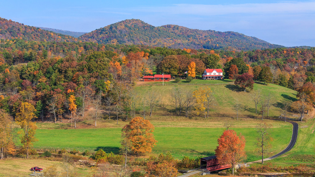
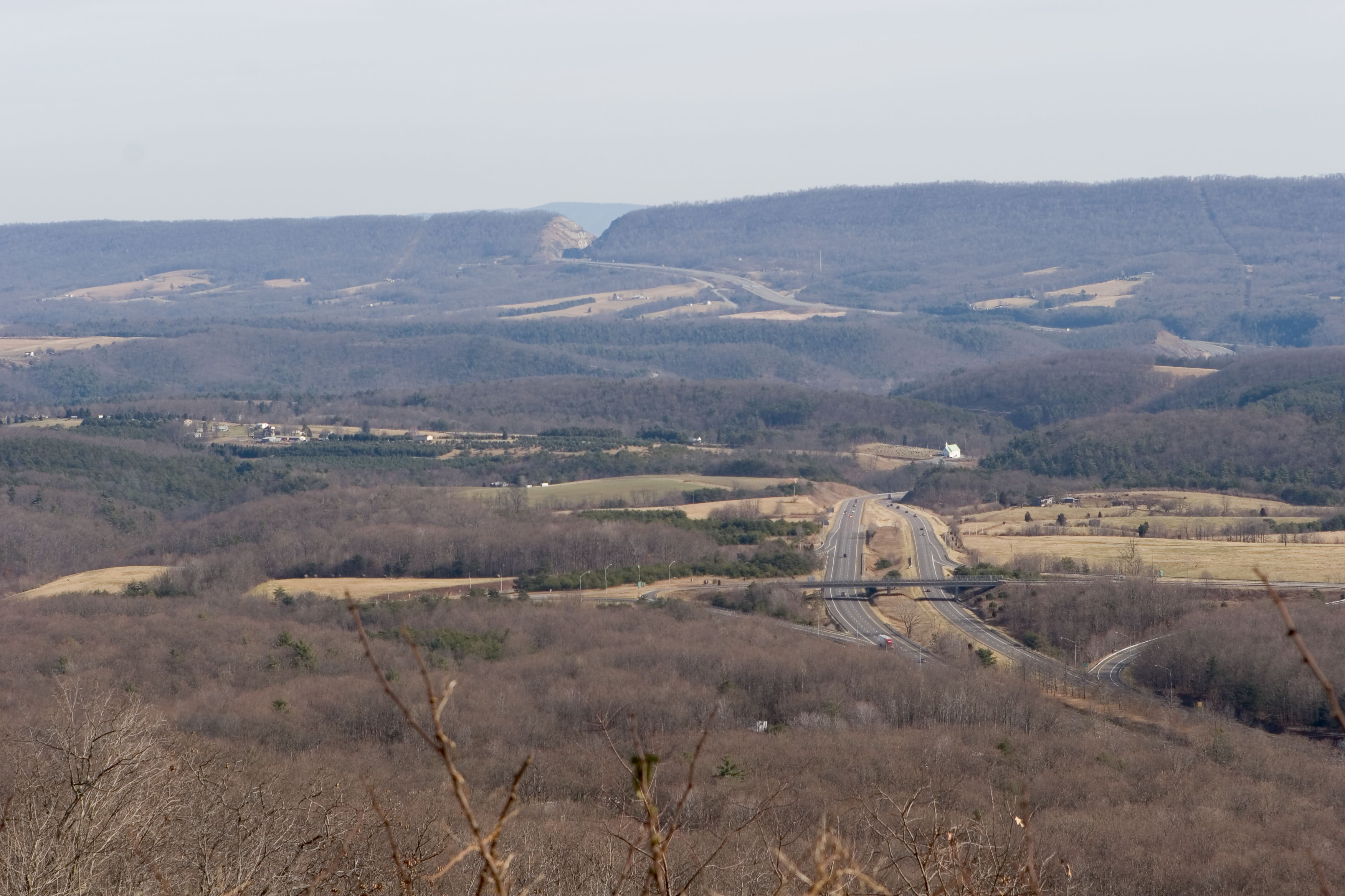
Sunrise & Sunset Photos

I-70W, Maryland
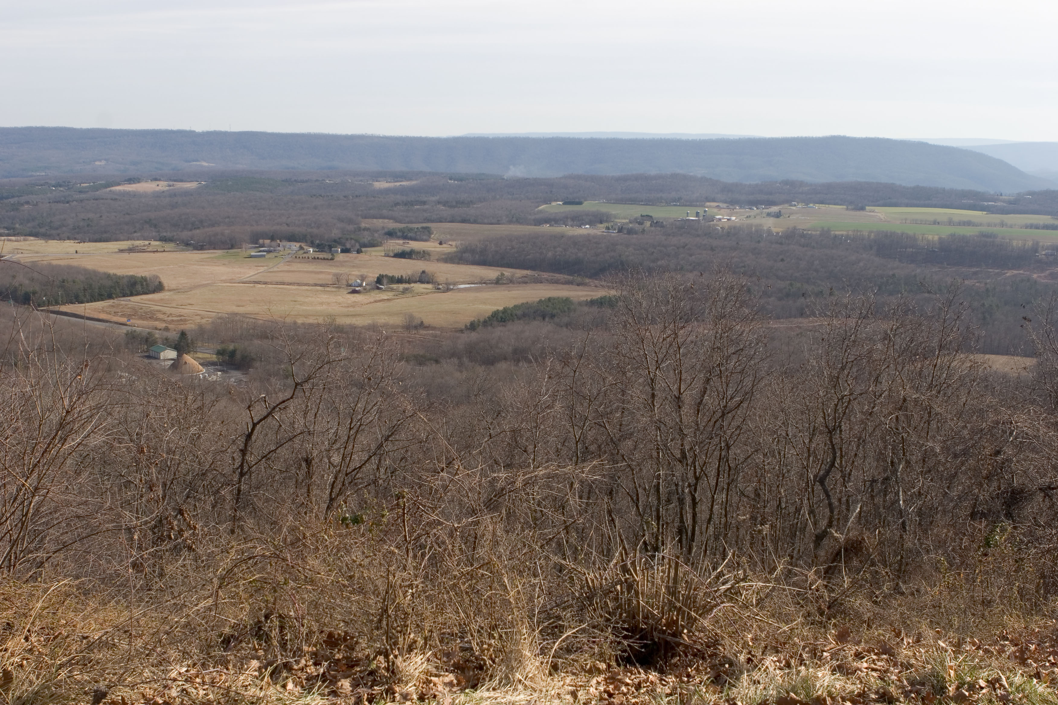
IMG_4546: View from the Town Hill Hotel

Town Hill View
Western Maryland, Aug. '12
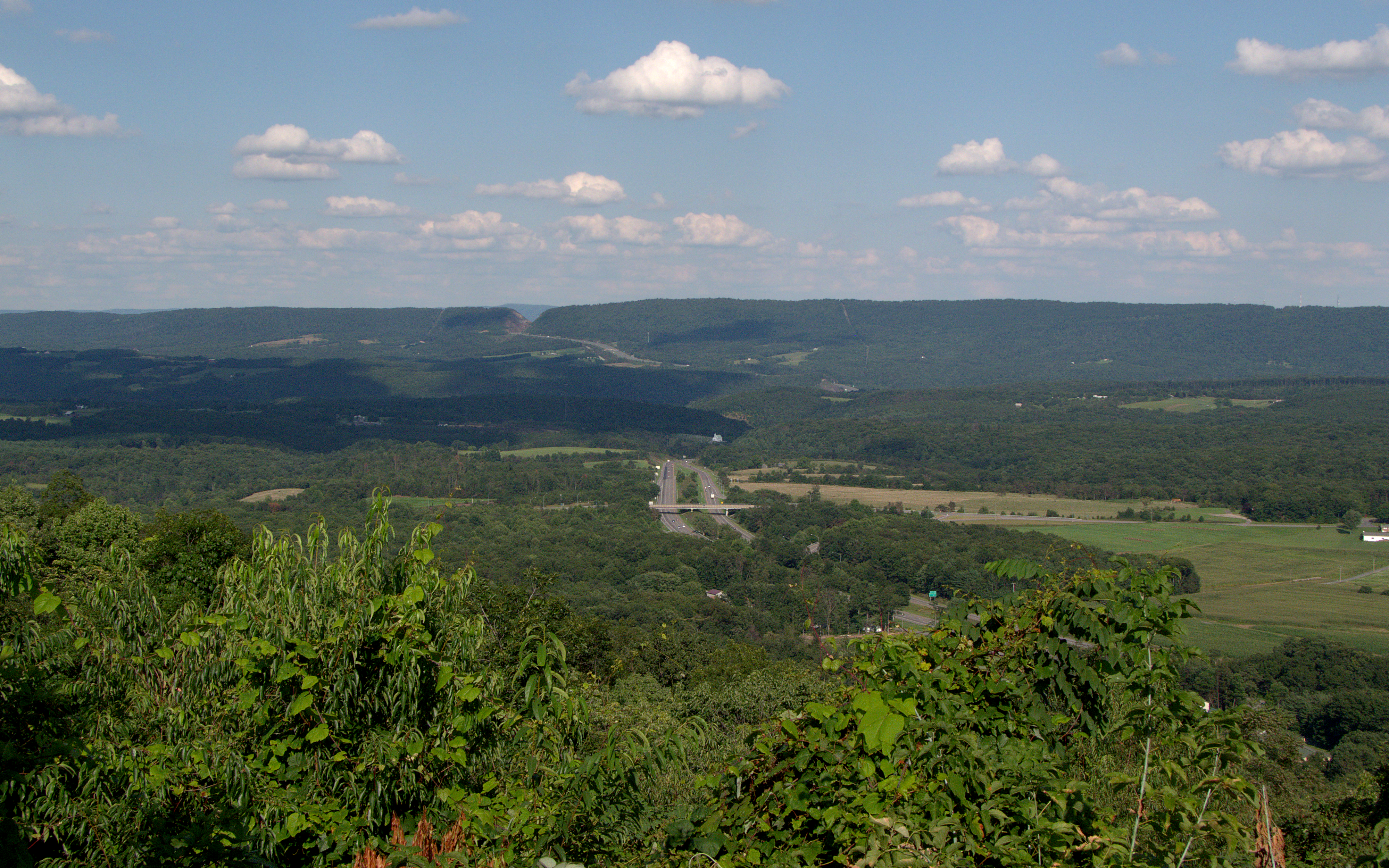
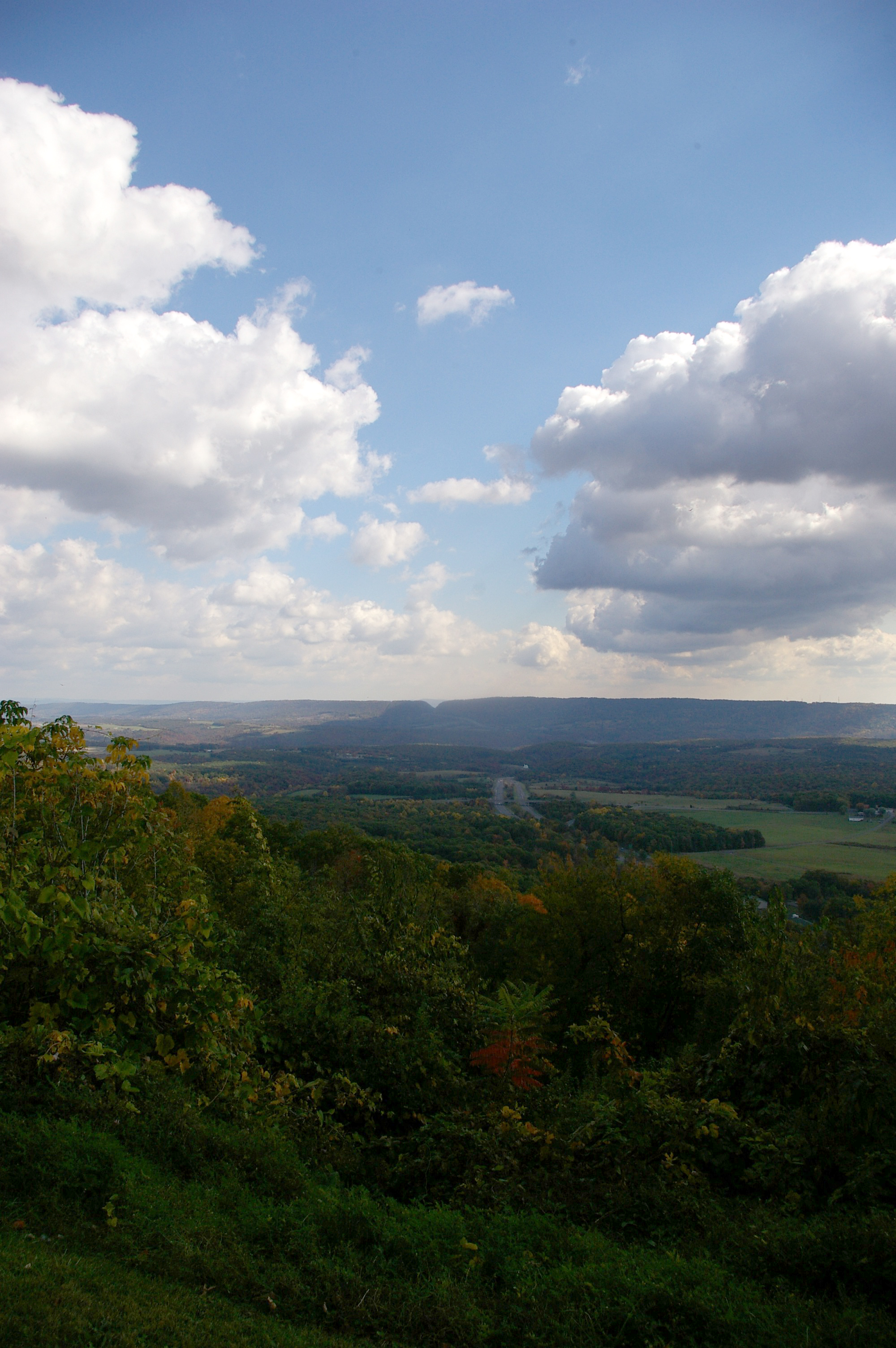
View from Town Hill, with Sideling Hill in the distance
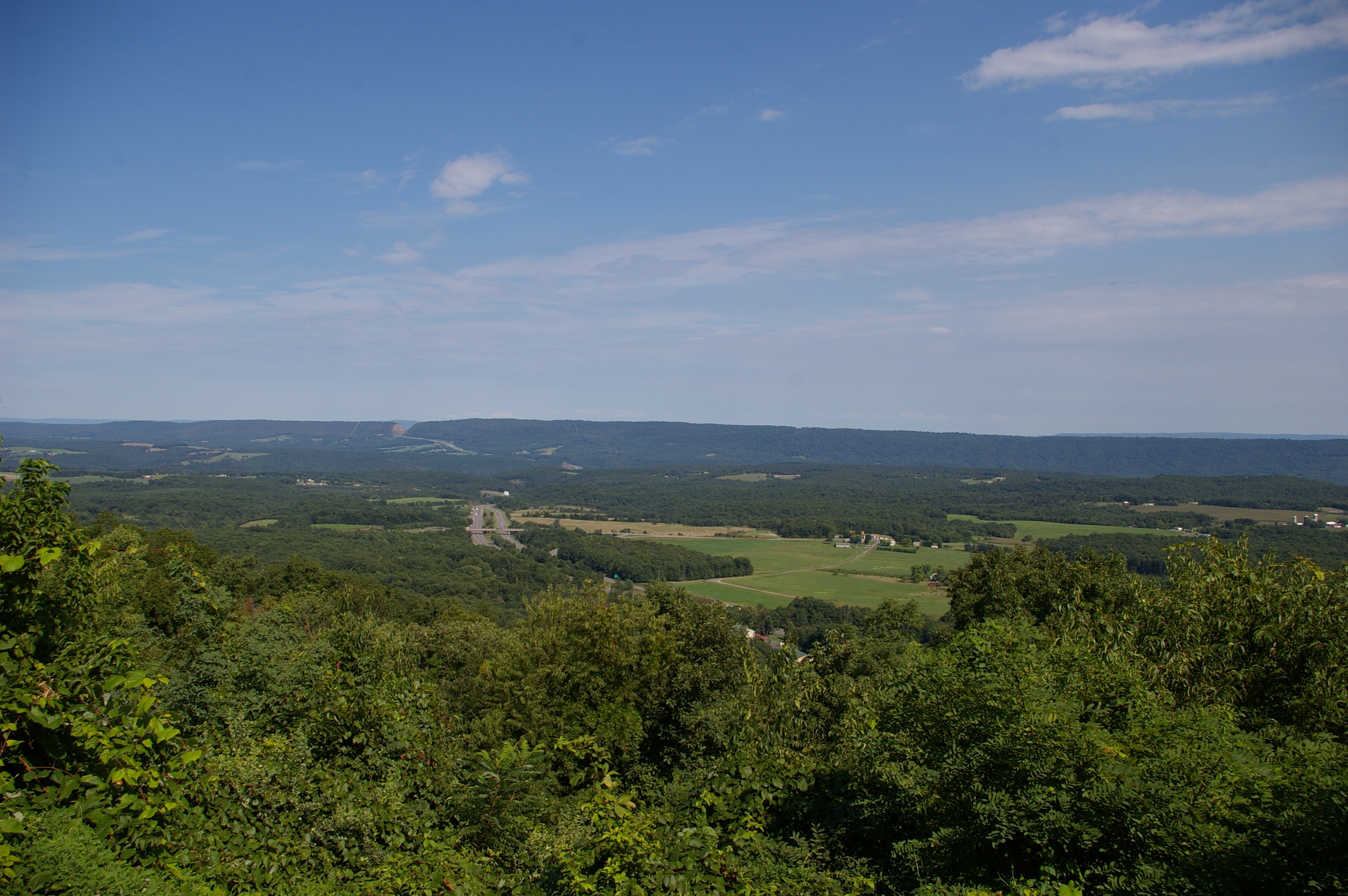
View from Town Hill

View from Town Hill, with Sideling Hill in the distance
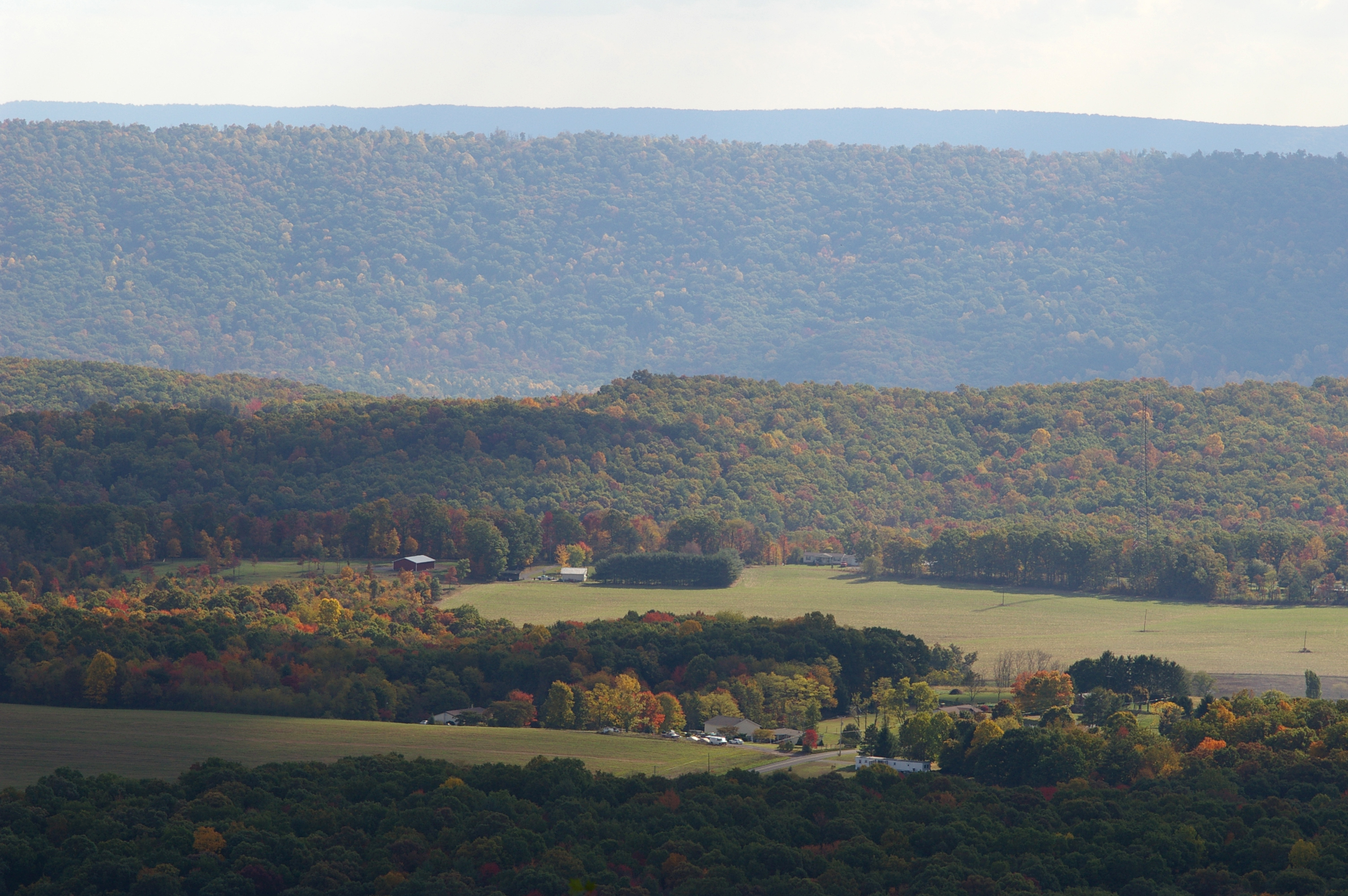
View from Town Hill, with Sideling Hill in the distance
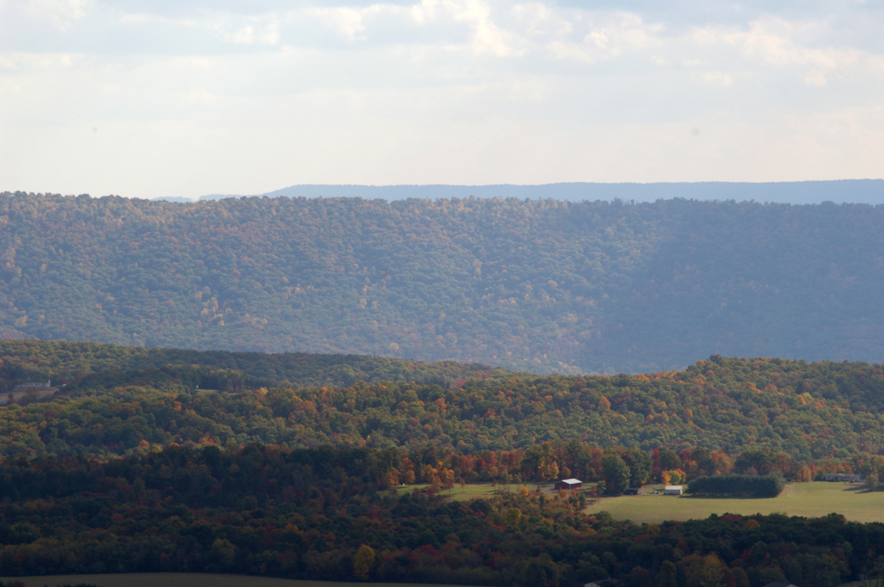
DSC_7050.JPG
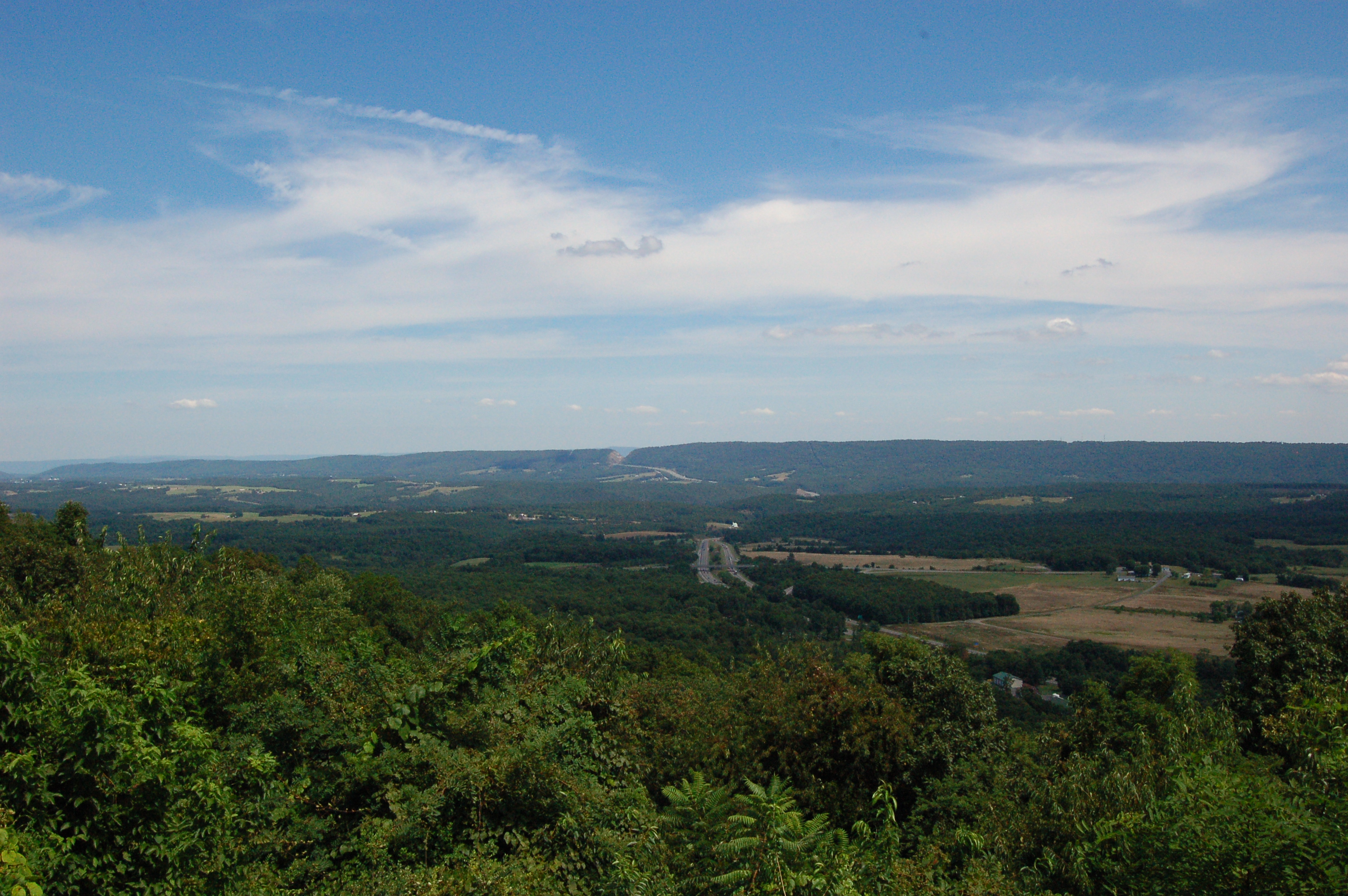
View from Town Hill, with I-68 and the Sideling Hill cut in the distance
IMG_3789.jpg
_VAR0790.jpg
IMG_4547: View from the Town Hill Hotel
Ragged Mountain Rd, Clearville, PA, USA Map
Search another place
Near Places
Southampton Township, PA, USA
Buchanan State Forest, Clearville, PA, USA
Town Hill Bed & Breakfast, National Pike NE, Little Orleans, MD, USA
Colerain Township, PA, USA
Gilpin Rd NE, Flintstone, MD, USA
1, Orleans, MD, USA
3, Flintstone, MD, USA
Flintstone, MD, USA
National Pike NE, Flintstone, MD, USA
Root Rd NE, Flintstone, MD, USA
Black Valley Rd, Everett, PA, USA
Riser Rd, Hancock, MD, USA
Ott Town Rd, Everett, PA, USA
US-, Bedford, PA, USA
Hixon Rd, Hancock, MD, USA
Appel Rd, Little Orleans, MD, USA
Little Orleans, MD, USA
Main Rd, Bedford, PA, USA
Sideling Hill, 5, Hancock, MD, USA
Sweet Root Rd, Bedford, PA, USA
Recent Searches
- Sunrise Sunset Times of Red Dog Mine, AK, USA
- Sunrise Sunset Times of Am Bahnhof, Am bhf, Borken, Germany
- Sunrise Sunset Times of 4th St E, Sonoma, CA, USA
- Sunrise Sunset Times of Oakland Ave, Williamsport, PA, USA
- Sunrise Sunset Times of Via Roma, Pieranica CR, Italy
- Sunrise Sunset Times of Clock Tower of Dubrovnik, Grad, Dubrovnik, Croatia
- Sunrise Sunset Times of Trelew, Chubut Province, Argentina
- Sunrise Sunset Times of Hartfords Bluff Cir, Mt Pleasant, SC, USA
- Sunrise Sunset Times of Kita Ward, Kumamoto, Japan
- Sunrise Sunset Times of Pingtan Island, Pingtan County, Fuzhou, China