Sunrise Sunset Times of Parkfield Grade, Coalinga, CA, USA
Location: United States > California > Fresno County > Coalinga >
Timezone:
America/Los_Angeles
Current Time:
2025-07-08 04:52:55
Longitude:
-120.474538
Latitude:
36.012301
Sunrise Today:
05:52:50 AM
Sunset Today:
08:21:25 PM
Daylength Today:
14h 28m 35s
Sunrise Tomorrow:
05:53:25 AM
Sunset Tomorrow:
08:21:07 PM
Daylength Tomorrow:
14h 27m 42s
Year Show All Dates
| Date | Sunrise | Sunset | Daylength |
|---|---|---|---|
| 01/01/2025 | 07:12:39 AM | 04:59:35 PM | 9h 46m 56s |
| 01/02/2025 | 07:12:46 AM | 05:00:24 PM | 9h 47m 38s |
| 01/03/2025 | 07:12:50 AM | 05:01:14 PM | 9h 48m 24s |
| 01/04/2025 | 07:12:53 AM | 05:02:04 PM | 9h 49m 11s |
| 01/05/2025 | 07:12:53 AM | 05:02:56 PM | 9h 50m 3s |
| 01/06/2025 | 07:12:52 AM | 05:03:49 PM | 9h 50m 57s |
| 01/07/2025 | 07:12:49 AM | 05:04:43 PM | 9h 51m 54s |
| 01/08/2025 | 07:12:44 AM | 05:05:38 PM | 9h 52m 54s |
| 01/09/2025 | 07:12:36 AM | 05:06:33 PM | 9h 53m 57s |
| 01/10/2025 | 07:12:27 AM | 05:07:30 PM | 9h 55m 3s |
| 01/11/2025 | 07:12:16 AM | 05:08:27 PM | 9h 56m 11s |
| 01/12/2025 | 07:12:03 AM | 05:09:25 PM | 9h 57m 22s |
| 01/13/2025 | 07:11:48 AM | 05:10:23 PM | 9h 58m 35s |
| 01/14/2025 | 07:11:31 AM | 05:11:22 PM | 9h 59m 51s |
| 01/15/2025 | 07:11:12 AM | 05:12:22 PM | 10h 1m 10s |
| 01/16/2025 | 07:10:51 AM | 05:13:22 PM | 10h 2m 31s |
| 01/17/2025 | 07:10:28 AM | 05:14:23 PM | 10h 3m 55s |
| 01/18/2025 | 07:10:03 AM | 05:15:24 PM | 10h 5m 21s |
| 01/19/2025 | 07:09:37 AM | 05:16:26 PM | 10h 6m 49s |
| 01/20/2025 | 07:09:08 AM | 05:17:28 PM | 10h 8m 20s |
| 01/21/2025 | 07:08:38 AM | 05:18:30 PM | 10h 9m 52s |
| 01/22/2025 | 07:08:06 AM | 05:19:32 PM | 10h 11m 26s |
| 01/23/2025 | 07:07:32 AM | 05:20:35 PM | 10h 13m 3s |
| 01/24/2025 | 07:06:57 AM | 05:21:38 PM | 10h 14m 41s |
| 01/25/2025 | 07:06:19 AM | 05:22:41 PM | 10h 16m 22s |
| 01/26/2025 | 07:05:40 AM | 05:23:44 PM | 10h 18m 4s |
| 01/27/2025 | 07:05:00 AM | 05:24:47 PM | 10h 19m 47s |
| 01/28/2025 | 07:04:17 AM | 05:25:50 PM | 10h 21m 33s |
| 01/29/2025 | 07:03:33 AM | 05:26:53 PM | 10h 23m 20s |
| 01/30/2025 | 07:02:47 AM | 05:27:57 PM | 10h 25m 10s |
| 01/31/2025 | 07:02:00 AM | 05:29:00 PM | 10h 27m 0s |
| 02/01/2025 | 07:01:11 AM | 05:30:03 PM | 10h 28m 52s |
| 02/02/2025 | 07:00:21 AM | 05:31:06 PM | 10h 30m 45s |
| 02/03/2025 | 06:59:29 AM | 05:32:09 PM | 10h 32m 40s |
| 02/04/2025 | 06:58:36 AM | 05:33:12 PM | 10h 34m 36s |
| 02/05/2025 | 06:57:41 AM | 05:34:14 PM | 10h 36m 33s |
| 02/06/2025 | 06:56:45 AM | 05:35:16 PM | 10h 38m 31s |
| 02/07/2025 | 06:55:47 AM | 05:36:19 PM | 10h 40m 32s |
| 02/08/2025 | 06:54:48 AM | 05:37:21 PM | 10h 42m 33s |
| 02/09/2025 | 06:53:48 AM | 05:38:22 PM | 10h 44m 34s |
| 02/10/2025 | 06:52:46 AM | 05:39:24 PM | 10h 46m 38s |
| 02/11/2025 | 06:51:44 AM | 05:40:25 PM | 10h 48m 41s |
| 02/12/2025 | 06:50:40 AM | 05:41:26 PM | 10h 50m 46s |
| 02/13/2025 | 06:49:34 AM | 05:42:27 PM | 10h 52m 53s |
| 02/14/2025 | 06:48:28 AM | 05:43:27 PM | 10h 54m 59s |
| 02/15/2025 | 06:47:21 AM | 05:44:27 PM | 10h 57m 6s |
| 02/16/2025 | 06:46:12 AM | 05:45:27 PM | 10h 59m 15s |
| 02/17/2025 | 06:45:03 AM | 05:46:26 PM | 11h 1m 23s |
| 02/18/2025 | 06:43:52 AM | 05:47:25 PM | 11h 3m 33s |
| 02/19/2025 | 06:42:40 AM | 05:48:24 PM | 11h 5m 44s |
| 02/20/2025 | 06:41:28 AM | 05:49:22 PM | 11h 7m 54s |
| 02/21/2025 | 06:40:14 AM | 05:50:20 PM | 11h 10m 6s |
| 02/22/2025 | 06:39:00 AM | 05:51:18 PM | 11h 12m 18s |
| 02/23/2025 | 06:37:44 AM | 05:52:16 PM | 11h 14m 32s |
| 02/24/2025 | 06:36:28 AM | 05:53:13 PM | 11h 16m 45s |
| 02/25/2025 | 06:35:11 AM | 05:54:09 PM | 11h 18m 58s |
| 02/26/2025 | 06:33:54 AM | 05:55:06 PM | 11h 21m 12s |
| 02/27/2025 | 06:32:35 AM | 05:56:02 PM | 11h 23m 27s |
| 02/28/2025 | 06:31:16 AM | 05:56:58 PM | 11h 25m 42s |
| 03/01/2025 | 06:29:56 AM | 05:57:53 PM | 11h 27m 57s |
| 03/02/2025 | 06:28:36 AM | 05:58:48 PM | 11h 30m 12s |
| 03/03/2025 | 06:27:15 AM | 05:59:43 PM | 11h 32m 28s |
| 03/04/2025 | 06:25:53 AM | 06:00:38 PM | 11h 34m 45s |
| 03/05/2025 | 06:24:31 AM | 06:01:32 PM | 11h 37m 1s |
| 03/06/2025 | 06:23:08 AM | 06:02:26 PM | 11h 39m 18s |
| 03/07/2025 | 06:21:45 AM | 06:03:20 PM | 11h 41m 35s |
| 03/08/2025 | 06:20:21 AM | 06:04:13 PM | 11h 43m 52s |
| 03/09/2025 | 07:19:01 AM | 07:05:04 PM | 11h 46m 3s |
| 03/10/2025 | 07:17:36 AM | 07:05:57 PM | 11h 48m 21s |
| 03/11/2025 | 07:16:12 AM | 07:06:50 PM | 11h 50m 38s |
| 03/12/2025 | 07:14:47 AM | 07:07:43 PM | 11h 52m 56s |
| 03/13/2025 | 07:13:21 AM | 07:08:35 PM | 11h 55m 14s |
| 03/14/2025 | 07:11:55 AM | 07:09:27 PM | 11h 57m 32s |
| 03/15/2025 | 07:10:29 AM | 07:10:19 PM | 11h 59m 50s |
| 03/16/2025 | 07:09:03 AM | 07:11:11 PM | 12h 2m 8s |
| 03/17/2025 | 07:07:37 AM | 07:12:02 PM | 12h 4m 25s |
| 03/18/2025 | 07:06:10 AM | 07:12:54 PM | 12h 6m 44s |
| 03/19/2025 | 07:04:44 AM | 07:13:45 PM | 12h 9m 1s |
| 03/20/2025 | 07:03:17 AM | 07:14:36 PM | 12h 11m 19s |
| 03/21/2025 | 07:01:50 AM | 07:15:27 PM | 12h 13m 37s |
| 03/22/2025 | 07:00:23 AM | 07:16:18 PM | 12h 15m 55s |
| 03/23/2025 | 06:58:56 AM | 07:17:08 PM | 12h 18m 12s |
| 03/24/2025 | 06:57:30 AM | 07:17:59 PM | 12h 20m 29s |
| 03/25/2025 | 06:56:03 AM | 07:18:50 PM | 12h 22m 47s |
| 03/26/2025 | 06:54:36 AM | 07:19:40 PM | 12h 25m 4s |
| 03/27/2025 | 06:53:09 AM | 07:20:31 PM | 12h 27m 22s |
| 03/28/2025 | 06:51:43 AM | 07:21:21 PM | 12h 29m 38s |
| 03/29/2025 | 06:50:17 AM | 07:22:11 PM | 12h 31m 54s |
| 03/30/2025 | 06:48:51 AM | 07:23:01 PM | 12h 34m 10s |
| 03/31/2025 | 06:47:25 AM | 07:23:52 PM | 12h 36m 27s |
| 04/01/2025 | 06:45:59 AM | 07:24:42 PM | 12h 38m 43s |
| 04/02/2025 | 06:44:34 AM | 07:25:32 PM | 12h 40m 58s |
| 04/03/2025 | 06:43:09 AM | 07:26:22 PM | 12h 43m 13s |
| 04/04/2025 | 06:41:44 AM | 07:27:13 PM | 12h 45m 29s |
| 04/05/2025 | 06:40:20 AM | 07:28:03 PM | 12h 47m 43s |
| 04/06/2025 | 06:38:56 AM | 07:28:53 PM | 12h 49m 57s |
| 04/07/2025 | 06:37:33 AM | 07:29:43 PM | 12h 52m 10s |
| 04/08/2025 | 06:36:10 AM | 07:30:34 PM | 12h 54m 24s |
| 04/09/2025 | 06:34:48 AM | 07:31:24 PM | 12h 56m 36s |
| 04/10/2025 | 06:33:26 AM | 07:32:15 PM | 12h 58m 49s |
| 04/11/2025 | 06:32:04 AM | 07:33:05 PM | 13h 1m 1s |
| 04/12/2025 | 06:30:43 AM | 07:33:56 PM | 13h 3m 13s |
| 04/13/2025 | 06:29:23 AM | 07:34:46 PM | 13h 5m 23s |
| 04/14/2025 | 06:28:04 AM | 07:35:37 PM | 13h 7m 33s |
| 04/15/2025 | 06:26:45 AM | 07:36:27 PM | 13h 9m 42s |
| 04/16/2025 | 06:25:27 AM | 07:37:18 PM | 13h 11m 51s |
| 04/17/2025 | 06:24:09 AM | 07:38:09 PM | 13h 14m 0s |
| 04/18/2025 | 06:22:52 AM | 07:39:00 PM | 13h 16m 8s |
| 04/19/2025 | 06:21:37 AM | 07:39:51 PM | 13h 18m 14s |
| 04/20/2025 | 06:20:21 AM | 07:40:42 PM | 13h 20m 21s |
| 04/21/2025 | 06:19:07 AM | 07:41:33 PM | 13h 22m 26s |
| 04/22/2025 | 06:17:54 AM | 07:42:24 PM | 13h 24m 30s |
| 04/23/2025 | 06:16:41 AM | 07:43:15 PM | 13h 26m 34s |
| 04/24/2025 | 06:15:30 AM | 07:44:06 PM | 13h 28m 36s |
| 04/25/2025 | 06:14:19 AM | 07:44:57 PM | 13h 30m 38s |
| 04/26/2025 | 06:13:10 AM | 07:45:48 PM | 13h 32m 38s |
| 04/27/2025 | 06:12:01 AM | 07:46:39 PM | 13h 34m 38s |
| 04/28/2025 | 06:10:53 AM | 07:47:30 PM | 13h 36m 37s |
| 04/29/2025 | 06:09:47 AM | 07:48:21 PM | 13h 38m 34s |
| 04/30/2025 | 06:08:42 AM | 07:49:12 PM | 13h 40m 30s |
| 05/01/2025 | 06:07:37 AM | 07:50:03 PM | 13h 42m 26s |
| 05/02/2025 | 06:06:34 AM | 07:50:54 PM | 13h 44m 20s |
| 05/03/2025 | 06:05:32 AM | 07:51:45 PM | 13h 46m 13s |
| 05/04/2025 | 06:04:32 AM | 07:52:36 PM | 13h 48m 4s |
| 05/05/2025 | 06:03:32 AM | 07:53:27 PM | 13h 49m 55s |
| 05/06/2025 | 06:02:34 AM | 07:54:17 PM | 13h 51m 43s |
| 05/07/2025 | 06:01:37 AM | 07:55:08 PM | 13h 53m 31s |
| 05/08/2025 | 06:00:42 AM | 07:55:58 PM | 13h 55m 16s |
| 05/09/2025 | 05:59:47 AM | 07:56:48 PM | 13h 57m 1s |
| 05/10/2025 | 05:58:54 AM | 07:57:38 PM | 13h 58m 44s |
| 05/11/2025 | 05:58:03 AM | 07:58:27 PM | 14h 0m 24s |
| 05/12/2025 | 05:57:13 AM | 07:59:17 PM | 14h 2m 4s |
| 05/13/2025 | 05:56:24 AM | 08:00:06 PM | 14h 3m 42s |
| 05/14/2025 | 05:55:37 AM | 08:00:54 PM | 14h 5m 17s |
| 05/15/2025 | 05:54:51 AM | 08:01:43 PM | 14h 6m 52s |
| 05/16/2025 | 05:54:07 AM | 08:02:31 PM | 14h 8m 24s |
| 05/17/2025 | 05:53:24 AM | 08:03:18 PM | 14h 9m 54s |
| 05/18/2025 | 05:52:43 AM | 08:04:05 PM | 14h 11m 22s |
| 05/19/2025 | 05:52:04 AM | 08:04:52 PM | 14h 12m 48s |
| 05/20/2025 | 05:51:26 AM | 08:05:38 PM | 14h 14m 12s |
| 05/21/2025 | 05:50:49 AM | 08:06:24 PM | 14h 15m 35s |
| 05/22/2025 | 05:50:14 AM | 08:07:09 PM | 14h 16m 55s |
| 05/23/2025 | 05:49:41 AM | 08:07:53 PM | 14h 18m 12s |
| 05/24/2025 | 05:49:09 AM | 08:08:37 PM | 14h 19m 28s |
| 05/25/2025 | 05:48:40 AM | 08:09:20 PM | 14h 20m 40s |
| 05/26/2025 | 05:48:11 AM | 08:10:02 PM | 14h 21m 51s |
| 05/27/2025 | 05:47:45 AM | 08:10:44 PM | 14h 22m 59s |
| 05/28/2025 | 05:47:20 AM | 08:11:25 PM | 14h 24m 5s |
| 05/29/2025 | 05:46:56 AM | 08:12:05 PM | 14h 25m 9s |
| 05/30/2025 | 05:46:35 AM | 08:12:44 PM | 14h 26m 9s |
| 05/31/2025 | 05:46:15 AM | 08:13:22 PM | 14h 27m 7s |
| 06/01/2025 | 05:45:57 AM | 08:14:00 PM | 14h 28m 3s |
| 06/02/2025 | 05:45:40 AM | 08:14:36 PM | 14h 28m 56s |
| 06/03/2025 | 05:45:26 AM | 08:15:11 PM | 14h 29m 45s |
| 06/04/2025 | 05:45:13 AM | 08:15:46 PM | 14h 30m 33s |
| 06/05/2025 | 05:45:01 AM | 08:16:19 PM | 14h 31m 18s |
| 06/06/2025 | 05:44:52 AM | 08:16:51 PM | 14h 31m 59s |
| 06/07/2025 | 05:44:44 AM | 08:17:22 PM | 14h 32m 38s |
| 06/08/2025 | 05:44:38 AM | 08:17:52 PM | 14h 33m 14s |
| 06/09/2025 | 05:44:33 AM | 08:18:20 PM | 14h 33m 47s |
| 06/10/2025 | 05:44:30 AM | 08:18:48 PM | 14h 34m 18s |
| 06/11/2025 | 05:44:29 AM | 08:19:14 PM | 14h 34m 45s |
| 06/12/2025 | 05:44:30 AM | 08:19:38 PM | 14h 35m 8s |
| 06/13/2025 | 05:44:32 AM | 08:20:02 PM | 14h 35m 30s |
| 06/14/2025 | 05:44:35 AM | 08:20:24 PM | 14h 35m 49s |
| 06/15/2025 | 05:44:41 AM | 08:20:44 PM | 14h 36m 3s |
| 06/16/2025 | 05:44:48 AM | 08:21:03 PM | 14h 36m 15s |
| 06/17/2025 | 05:44:56 AM | 08:21:21 PM | 14h 36m 25s |
| 06/18/2025 | 05:45:06 AM | 08:21:37 PM | 14h 36m 31s |
| 06/19/2025 | 05:45:18 AM | 08:21:52 PM | 14h 36m 34s |
| 06/20/2025 | 05:45:31 AM | 08:22:05 PM | 14h 36m 34s |
| 06/21/2025 | 05:45:46 AM | 08:22:16 PM | 14h 36m 30s |
| 06/22/2025 | 05:46:02 AM | 08:22:26 PM | 14h 36m 24s |
| 06/23/2025 | 05:46:19 AM | 08:22:34 PM | 14h 36m 15s |
| 06/24/2025 | 05:46:38 AM | 08:22:41 PM | 14h 36m 3s |
| 06/25/2025 | 05:46:58 AM | 08:22:46 PM | 14h 35m 48s |
| 06/26/2025 | 05:47:20 AM | 08:22:49 PM | 14h 35m 29s |
| 06/27/2025 | 05:47:43 AM | 08:22:51 PM | 14h 35m 8s |
| 06/28/2025 | 05:48:07 AM | 08:22:50 PM | 14h 34m 43s |
| 06/29/2025 | 05:48:32 AM | 08:22:49 PM | 14h 34m 17s |
| 06/30/2025 | 05:48:59 AM | 08:22:45 PM | 14h 33m 46s |
| 07/01/2025 | 05:49:27 AM | 08:22:40 PM | 14h 33m 13s |
| 07/02/2025 | 05:49:56 AM | 08:22:33 PM | 14h 32m 37s |
| 07/03/2025 | 05:50:26 AM | 08:22:24 PM | 14h 31m 58s |
| 07/04/2025 | 05:50:57 AM | 08:22:14 PM | 14h 31m 17s |
| 07/05/2025 | 05:51:29 AM | 08:22:01 PM | 14h 30m 32s |
| 07/06/2025 | 05:52:03 AM | 08:21:47 PM | 14h 29m 44s |
| 07/07/2025 | 05:52:37 AM | 08:21:32 PM | 14h 28m 55s |
| 07/08/2025 | 05:53:12 AM | 08:21:14 PM | 14h 28m 2s |
| 07/09/2025 | 05:53:48 AM | 08:20:55 PM | 14h 27m 7s |
| 07/10/2025 | 05:54:25 AM | 08:20:34 PM | 14h 26m 9s |
| 07/11/2025 | 05:55:03 AM | 08:20:11 PM | 14h 25m 8s |
| 07/12/2025 | 05:55:41 AM | 08:19:47 PM | 14h 24m 6s |
| 07/13/2025 | 05:56:20 AM | 08:19:21 PM | 14h 23m 1s |
| 07/14/2025 | 05:57:00 AM | 08:18:53 PM | 14h 21m 53s |
| 07/15/2025 | 05:57:41 AM | 08:18:23 PM | 14h 20m 42s |
| 07/16/2025 | 05:58:22 AM | 08:17:52 PM | 14h 19m 30s |
| 07/17/2025 | 05:59:04 AM | 08:17:19 PM | 14h 18m 15s |
| 07/18/2025 | 05:59:46 AM | 08:16:45 PM | 14h 16m 59s |
| 07/19/2025 | 06:00:29 AM | 08:16:08 PM | 14h 15m 39s |
| 07/20/2025 | 06:01:13 AM | 08:15:31 PM | 14h 14m 18s |
| 07/21/2025 | 06:01:57 AM | 08:14:51 PM | 14h 12m 54s |
| 07/22/2025 | 06:02:41 AM | 08:14:10 PM | 14h 11m 29s |
| 07/23/2025 | 06:03:26 AM | 08:13:27 PM | 14h 10m 1s |
| 07/24/2025 | 06:04:11 AM | 08:12:43 PM | 14h 8m 32s |
| 07/25/2025 | 06:04:56 AM | 08:11:58 PM | 14h 7m 2s |
| 07/26/2025 | 06:05:42 AM | 08:11:10 PM | 14h 5m 28s |
| 07/27/2025 | 06:06:28 AM | 08:10:22 PM | 14h 3m 54s |
| 07/28/2025 | 06:07:15 AM | 08:09:31 PM | 14h 2m 16s |
| 07/29/2025 | 06:08:01 AM | 08:08:40 PM | 14h 0m 39s |
| 07/30/2025 | 06:08:48 AM | 08:07:47 PM | 13h 58m 59s |
| 07/31/2025 | 06:09:35 AM | 08:06:52 PM | 13h 57m 17s |
| 08/01/2025 | 06:10:22 AM | 08:05:56 PM | 13h 55m 34s |
| 08/02/2025 | 06:11:09 AM | 08:04:59 PM | 13h 53m 50s |
| 08/03/2025 | 06:11:57 AM | 08:04:01 PM | 13h 52m 4s |
| 08/04/2025 | 06:12:44 AM | 08:03:01 PM | 13h 50m 17s |
| 08/05/2025 | 06:13:32 AM | 08:02:00 PM | 13h 48m 28s |
| 08/06/2025 | 06:14:19 AM | 08:00:57 PM | 13h 46m 38s |
| 08/07/2025 | 06:15:07 AM | 07:59:54 PM | 13h 44m 47s |
| 08/08/2025 | 06:15:55 AM | 07:58:49 PM | 13h 42m 54s |
| 08/09/2025 | 06:16:43 AM | 07:57:43 PM | 13h 41m 0s |
| 08/10/2025 | 06:17:30 AM | 07:56:36 PM | 13h 39m 6s |
| 08/11/2025 | 06:18:18 AM | 07:55:28 PM | 13h 37m 10s |
| 08/12/2025 | 06:19:06 AM | 07:54:19 PM | 13h 35m 13s |
| 08/13/2025 | 06:19:53 AM | 07:53:08 PM | 13h 33m 15s |
| 08/14/2025 | 06:20:41 AM | 07:51:57 PM | 13h 31m 16s |
| 08/15/2025 | 06:21:28 AM | 07:50:45 PM | 13h 29m 17s |
| 08/16/2025 | 06:22:16 AM | 07:49:31 PM | 13h 27m 15s |
| 08/17/2025 | 06:23:03 AM | 07:48:17 PM | 13h 25m 14s |
| 08/18/2025 | 06:23:51 AM | 07:47:02 PM | 13h 23m 11s |
| 08/19/2025 | 06:24:38 AM | 07:45:46 PM | 13h 21m 8s |
| 08/20/2025 | 06:25:25 AM | 07:44:29 PM | 13h 19m 4s |
| 08/21/2025 | 06:26:12 AM | 07:43:11 PM | 13h 16m 59s |
| 08/22/2025 | 06:26:59 AM | 07:41:53 PM | 13h 14m 54s |
| 08/23/2025 | 06:27:46 AM | 07:40:33 PM | 13h 12m 47s |
| 08/24/2025 | 06:28:33 AM | 07:39:13 PM | 13h 10m 40s |
| 08/25/2025 | 06:29:20 AM | 07:37:53 PM | 13h 8m 33s |
| 08/26/2025 | 06:30:06 AM | 07:36:31 PM | 13h 6m 25s |
| 08/27/2025 | 06:30:53 AM | 07:35:09 PM | 13h 4m 16s |
| 08/28/2025 | 06:31:39 AM | 07:33:46 PM | 13h 2m 7s |
| 08/29/2025 | 06:32:26 AM | 07:32:23 PM | 12h 59m 57s |
| 08/30/2025 | 06:33:12 AM | 07:30:59 PM | 12h 57m 47s |
| 08/31/2025 | 06:33:58 AM | 07:29:35 PM | 12h 55m 37s |
| 09/01/2025 | 06:34:45 AM | 07:28:10 PM | 12h 53m 25s |
| 09/02/2025 | 06:35:31 AM | 07:26:44 PM | 12h 51m 13s |
| 09/03/2025 | 06:36:17 AM | 07:25:19 PM | 12h 49m 2s |
| 09/04/2025 | 06:37:03 AM | 07:23:52 PM | 12h 46m 49s |
| 09/05/2025 | 06:37:49 AM | 07:22:26 PM | 12h 44m 37s |
| 09/06/2025 | 06:38:35 AM | 07:20:59 PM | 12h 42m 24s |
| 09/07/2025 | 06:39:21 AM | 07:19:31 PM | 12h 40m 10s |
| 09/08/2025 | 06:40:07 AM | 07:18:04 PM | 12h 37m 57s |
| 09/09/2025 | 06:40:53 AM | 07:16:36 PM | 12h 35m 43s |
| 09/10/2025 | 06:41:39 AM | 07:15:08 PM | 12h 33m 29s |
| 09/11/2025 | 06:42:24 AM | 07:13:39 PM | 12h 31m 15s |
| 09/12/2025 | 06:43:10 AM | 07:12:11 PM | 12h 29m 1s |
| 09/13/2025 | 06:43:56 AM | 07:10:42 PM | 12h 26m 46s |
| 09/14/2025 | 06:44:42 AM | 07:09:13 PM | 12h 24m 31s |
| 09/15/2025 | 06:45:29 AM | 07:07:44 PM | 12h 22m 15s |
| 09/16/2025 | 06:46:15 AM | 07:06:15 PM | 12h 20m 0s |
| 09/17/2025 | 06:47:01 AM | 07:04:46 PM | 12h 17m 45s |
| 09/18/2025 | 06:47:47 AM | 07:03:17 PM | 12h 15m 30s |
| 09/19/2025 | 06:48:34 AM | 07:01:47 PM | 12h 13m 13s |
| 09/20/2025 | 06:49:20 AM | 07:00:18 PM | 12h 10m 58s |
| 09/21/2025 | 06:50:07 AM | 06:58:49 PM | 12h 8m 42s |
| 09/22/2025 | 06:50:54 AM | 06:57:20 PM | 12h 6m 26s |
| 09/23/2025 | 06:51:41 AM | 06:55:52 PM | 12h 4m 11s |
| 09/24/2025 | 06:52:28 AM | 06:54:23 PM | 12h 1m 55s |
| 09/25/2025 | 06:53:15 AM | 06:52:54 PM | 11h 59m 39s |
| 09/26/2025 | 06:54:03 AM | 06:51:26 PM | 11h 57m 23s |
| 09/27/2025 | 06:54:51 AM | 06:49:58 PM | 11h 55m 7s |
| 09/28/2025 | 06:55:38 AM | 06:48:30 PM | 11h 52m 52s |
| 09/29/2025 | 06:56:27 AM | 06:47:03 PM | 11h 50m 36s |
| 09/30/2025 | 06:57:15 AM | 06:45:36 PM | 11h 48m 21s |
| 10/01/2025 | 06:58:04 AM | 06:44:09 PM | 11h 46m 5s |
| 10/02/2025 | 06:58:52 AM | 06:42:43 PM | 11h 43m 51s |
| 10/03/2025 | 06:59:41 AM | 06:41:17 PM | 11h 41m 36s |
| 10/04/2025 | 07:00:31 AM | 06:39:51 PM | 11h 39m 20s |
| 10/05/2025 | 07:01:21 AM | 06:38:26 PM | 11h 37m 5s |
| 10/06/2025 | 07:02:11 AM | 06:37:02 PM | 11h 34m 51s |
| 10/07/2025 | 07:03:01 AM | 06:35:38 PM | 11h 32m 37s |
| 10/08/2025 | 07:03:51 AM | 06:34:14 PM | 11h 30m 23s |
| 10/09/2025 | 07:04:42 AM | 06:32:52 PM | 11h 28m 10s |
| 10/10/2025 | 07:05:33 AM | 06:31:30 PM | 11h 25m 57s |
| 10/11/2025 | 07:06:25 AM | 06:30:08 PM | 11h 23m 43s |
| 10/12/2025 | 07:07:17 AM | 06:28:47 PM | 11h 21m 30s |
| 10/13/2025 | 07:08:09 AM | 06:27:27 PM | 11h 19m 18s |
| 10/14/2025 | 07:09:02 AM | 06:26:08 PM | 11h 17m 6s |
| 10/15/2025 | 07:09:55 AM | 06:24:49 PM | 11h 14m 54s |
| 10/16/2025 | 07:10:48 AM | 06:23:32 PM | 11h 12m 44s |
| 10/17/2025 | 07:11:41 AM | 06:22:15 PM | 11h 10m 34s |
| 10/18/2025 | 07:12:35 AM | 06:20:59 PM | 11h 8m 24s |
| 10/19/2025 | 07:13:30 AM | 06:19:44 PM | 11h 6m 14s |
| 10/20/2025 | 07:14:24 AM | 06:18:30 PM | 11h 4m 6s |
| 10/21/2025 | 07:15:20 AM | 06:17:17 PM | 11h 1m 57s |
| 10/22/2025 | 07:16:15 AM | 06:16:05 PM | 10h 59m 50s |
| 10/23/2025 | 07:17:11 AM | 06:14:54 PM | 10h 57m 43s |
| 10/24/2025 | 07:18:07 AM | 06:13:44 PM | 10h 55m 37s |
| 10/25/2025 | 07:19:03 AM | 06:12:35 PM | 10h 53m 32s |
| 10/26/2025 | 07:20:00 AM | 06:11:27 PM | 10h 51m 27s |
| 10/27/2025 | 07:20:57 AM | 06:10:20 PM | 10h 49m 23s |
| 10/28/2025 | 07:21:55 AM | 06:09:15 PM | 10h 47m 20s |
| 10/29/2025 | 07:22:52 AM | 06:08:11 PM | 10h 45m 19s |
| 10/30/2025 | 07:23:50 AM | 06:07:08 PM | 10h 43m 18s |
| 10/31/2025 | 07:24:49 AM | 06:06:07 PM | 10h 41m 18s |
| 11/01/2025 | 07:25:47 AM | 06:05:07 PM | 10h 39m 20s |
| 11/02/2025 | 06:26:49 AM | 05:04:05 PM | 10h 37m 16s |
| 11/03/2025 | 06:27:48 AM | 05:03:08 PM | 10h 35m 20s |
| 11/04/2025 | 06:28:47 AM | 05:02:12 PM | 10h 33m 25s |
| 11/05/2025 | 06:29:47 AM | 05:01:18 PM | 10h 31m 31s |
| 11/06/2025 | 06:30:46 AM | 05:00:25 PM | 10h 29m 39s |
| 11/07/2025 | 06:31:46 AM | 04:59:33 PM | 10h 27m 47s |
| 11/08/2025 | 06:32:46 AM | 04:58:43 PM | 10h 25m 57s |
| 11/09/2025 | 06:33:46 AM | 04:57:55 PM | 10h 24m 9s |
| 11/10/2025 | 06:34:47 AM | 04:57:08 PM | 10h 22m 21s |
| 11/11/2025 | 06:35:47 AM | 04:56:23 PM | 10h 20m 36s |
| 11/12/2025 | 06:36:47 AM | 04:55:40 PM | 10h 18m 53s |
| 11/13/2025 | 06:37:48 AM | 04:54:58 PM | 10h 17m 10s |
| 11/14/2025 | 06:38:48 AM | 04:54:18 PM | 10h 15m 30s |
| 11/15/2025 | 06:39:48 AM | 04:53:40 PM | 10h 13m 52s |
| 11/16/2025 | 06:40:48 AM | 04:53:03 PM | 10h 12m 15s |
| 11/17/2025 | 06:41:48 AM | 04:52:29 PM | 10h 10m 41s |
| 11/18/2025 | 06:42:48 AM | 04:51:56 PM | 10h 9m 8s |
| 11/19/2025 | 06:43:48 AM | 04:51:25 PM | 10h 7m 37s |
| 11/20/2025 | 06:44:47 AM | 04:50:55 PM | 10h 6m 8s |
| 11/21/2025 | 06:45:46 AM | 04:50:28 PM | 10h 4m 42s |
| 11/22/2025 | 06:46:45 AM | 04:50:03 PM | 10h 3m 18s |
| 11/23/2025 | 06:47:43 AM | 04:49:39 PM | 10h 1m 56s |
| 11/24/2025 | 06:48:41 AM | 04:49:18 PM | 10h 0m 37s |
| 11/25/2025 | 06:49:39 AM | 04:48:58 PM | 9h 59m 19s |
| 11/26/2025 | 06:50:36 AM | 04:48:41 PM | 9h 58m 5s |
| 11/27/2025 | 06:51:32 AM | 04:48:25 PM | 9h 56m 53s |
| 11/28/2025 | 06:52:28 AM | 04:48:11 PM | 9h 55m 43s |
| 11/29/2025 | 06:53:23 AM | 04:48:00 PM | 9h 54m 37s |
| 11/30/2025 | 06:54:18 AM | 04:47:50 PM | 9h 53m 32s |
| 12/01/2025 | 06:55:12 AM | 04:47:42 PM | 9h 52m 30s |
| 12/02/2025 | 06:56:05 AM | 04:47:37 PM | 9h 51m 32s |
| 12/03/2025 | 06:56:57 AM | 04:47:33 PM | 9h 50m 36s |
| 12/04/2025 | 06:57:48 AM | 04:47:31 PM | 9h 49m 43s |
| 12/05/2025 | 06:58:38 AM | 04:47:32 PM | 9h 48m 54s |
| 12/06/2025 | 06:59:28 AM | 04:47:34 PM | 9h 48m 6s |
| 12/07/2025 | 07:00:16 AM | 04:47:39 PM | 9h 47m 23s |
| 12/08/2025 | 07:01:03 AM | 04:47:45 PM | 9h 46m 42s |
| 12/09/2025 | 07:01:49 AM | 04:47:53 PM | 9h 46m 4s |
| 12/10/2025 | 07:02:34 AM | 04:48:04 PM | 9h 45m 30s |
| 12/11/2025 | 07:03:18 AM | 04:48:16 PM | 9h 44m 58s |
| 12/12/2025 | 07:04:00 AM | 04:48:30 PM | 9h 44m 30s |
| 12/13/2025 | 07:04:41 AM | 04:48:46 PM | 9h 44m 5s |
| 12/14/2025 | 07:05:21 AM | 04:49:05 PM | 9h 43m 44s |
| 12/15/2025 | 07:05:59 AM | 04:49:25 PM | 9h 43m 26s |
| 12/16/2025 | 07:06:36 AM | 04:49:46 PM | 9h 43m 10s |
| 12/17/2025 | 07:07:11 AM | 04:50:10 PM | 9h 42m 59s |
| 12/18/2025 | 07:07:45 AM | 04:50:36 PM | 9h 42m 51s |
| 12/19/2025 | 07:08:17 AM | 04:51:03 PM | 9h 42m 46s |
| 12/20/2025 | 07:08:47 AM | 04:51:32 PM | 9h 42m 45s |
| 12/21/2025 | 07:09:16 AM | 04:52:03 PM | 9h 42m 47s |
| 12/22/2025 | 07:09:44 AM | 04:52:35 PM | 9h 42m 51s |
| 12/23/2025 | 07:10:09 AM | 04:53:09 PM | 9h 43m 0s |
| 12/24/2025 | 07:10:33 AM | 04:53:45 PM | 9h 43m 12s |
| 12/25/2025 | 07:10:55 AM | 04:54:22 PM | 9h 43m 27s |
| 12/26/2025 | 07:11:15 AM | 04:55:01 PM | 9h 43m 46s |
| 12/27/2025 | 07:11:33 AM | 04:55:41 PM | 9h 44m 8s |
| 12/28/2025 | 07:11:50 AM | 04:56:23 PM | 9h 44m 33s |
| 12/29/2025 | 07:12:05 AM | 04:57:06 PM | 9h 45m 1s |
| 12/30/2025 | 07:12:17 AM | 04:57:51 PM | 9h 45m 34s |
| 12/31/2025 | 07:12:28 AM | 04:58:36 PM | 9h 46m 8s |
Sunrise & Sunset Photos
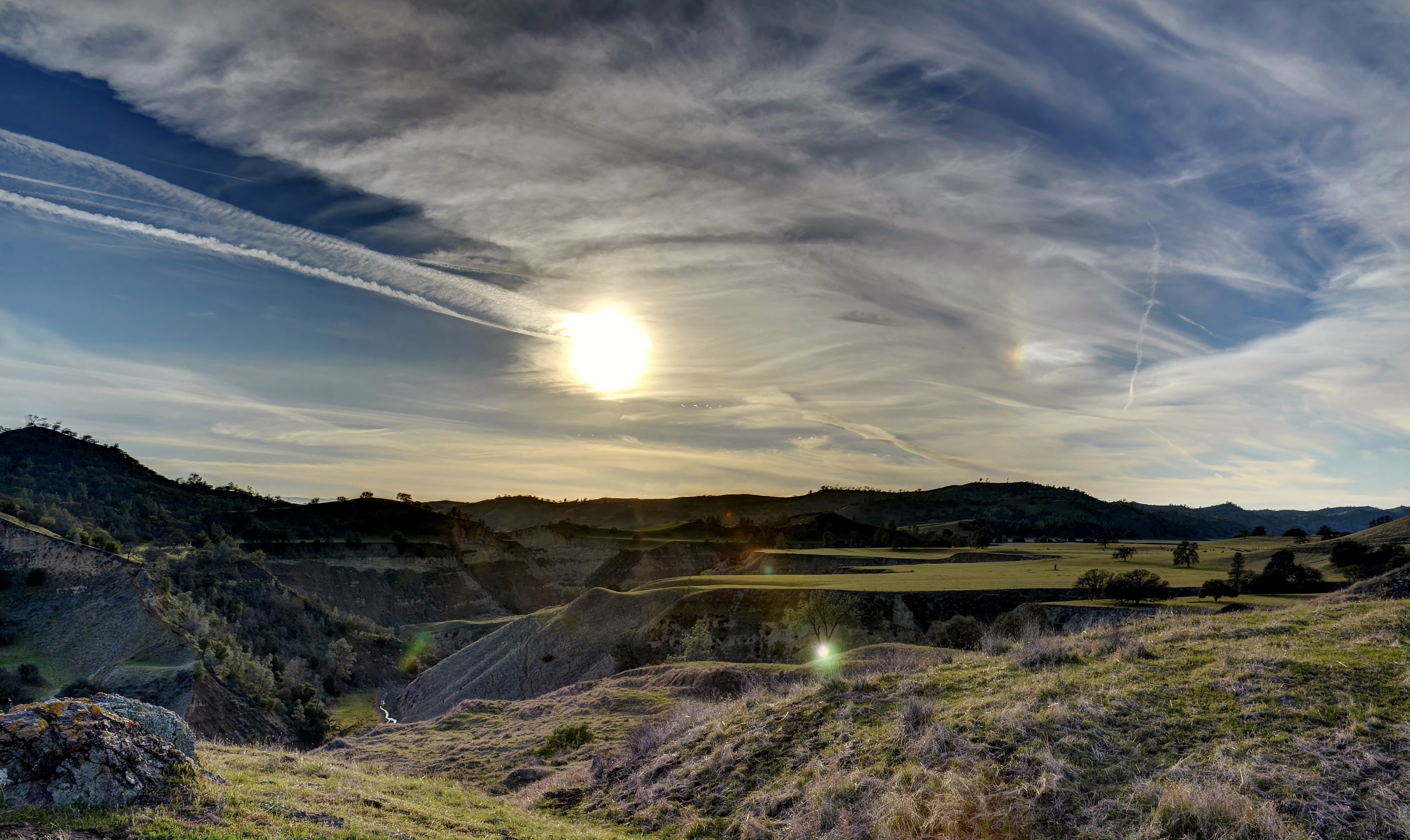
Indian Valley Road / Peachtree Road ( Explored )

Recently Installed Oil Derrick - Coalinga, CA
12 Below

_7020014.NEF

_7020015.NEF

_7020016.NEF

Cholame Valley Road
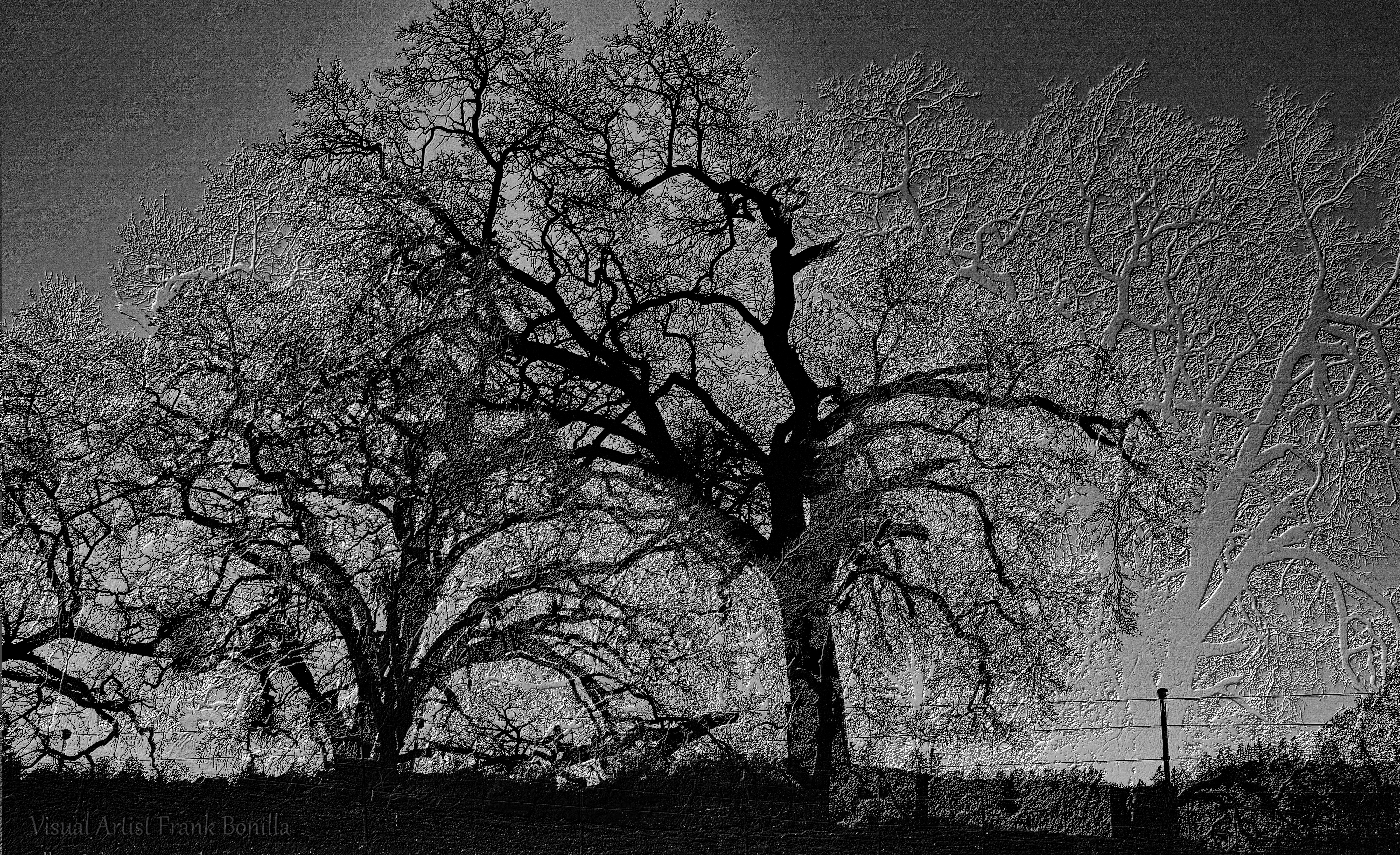
Tree Night II

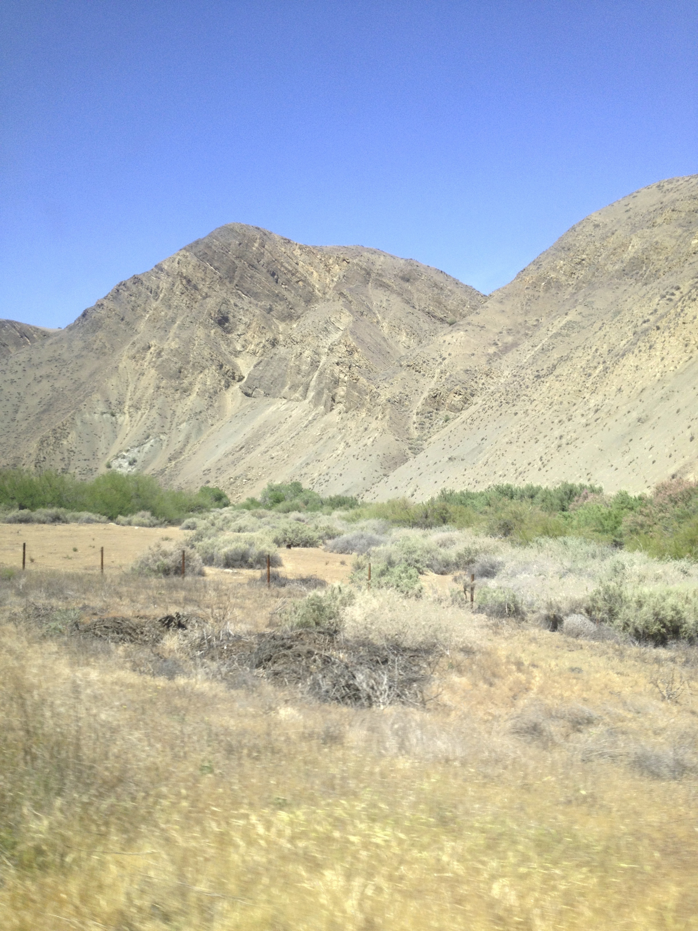
Above the San Andreas Fault and Parkfield, Monterey County, California
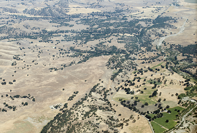
Above the San Andreas Fault near Parkfield, Monterey County, California

1988 December _0022

1988 December _0021

1988 December _0020
"Gone Home"
The Long Wait

Southern California

Besökare Samtidigt
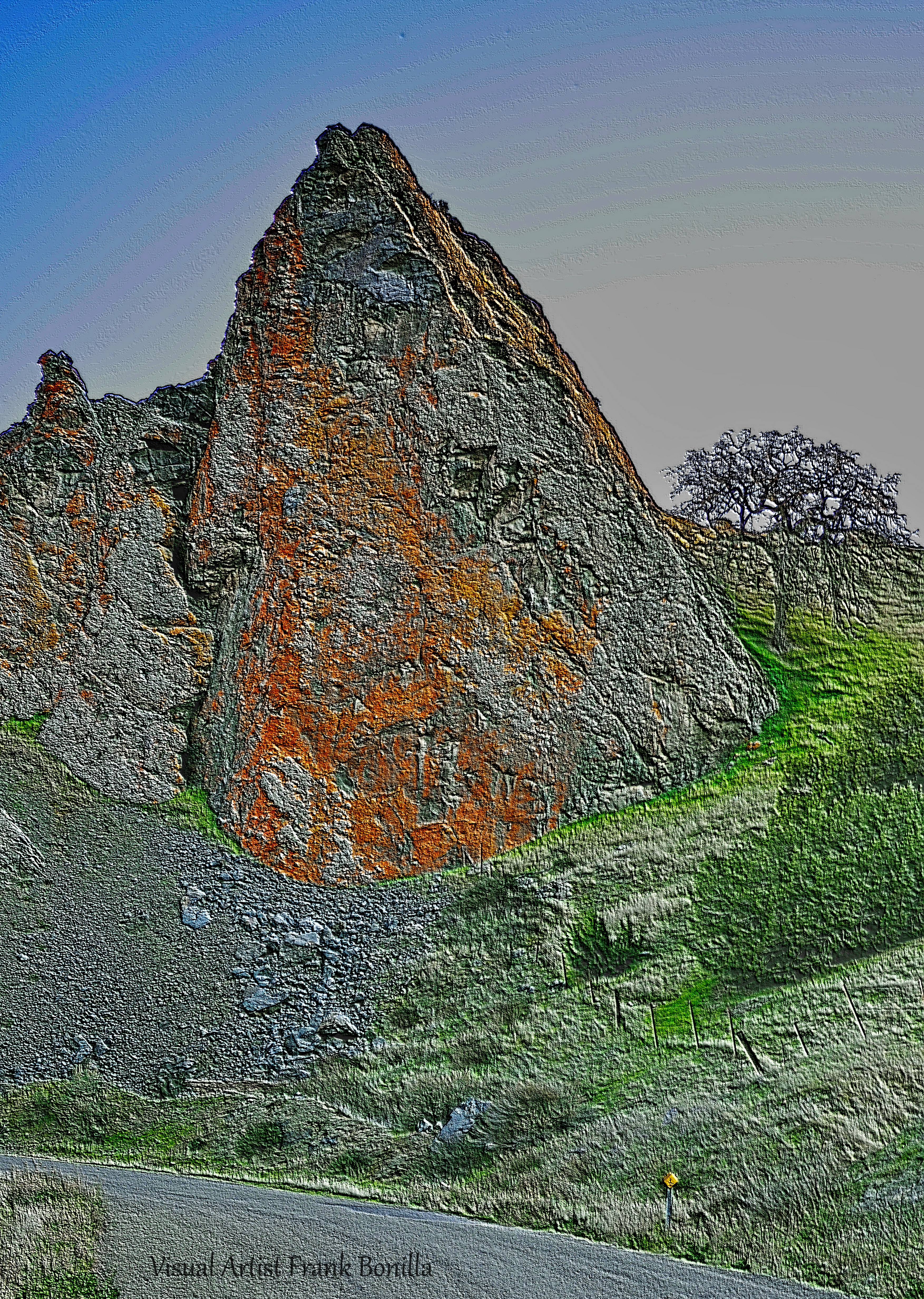
The Rock
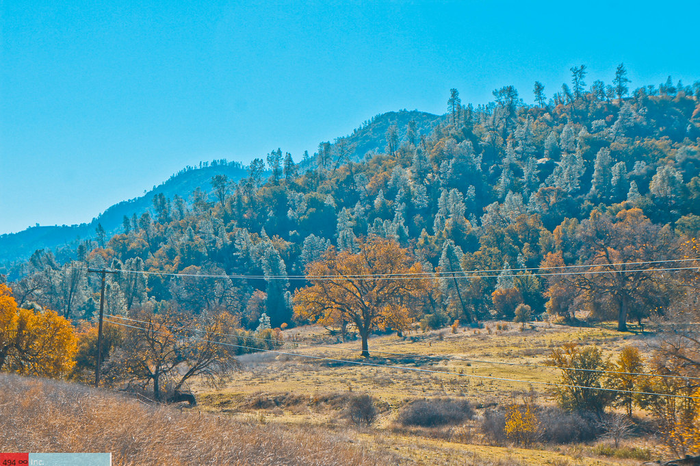
Fall Colours & Many Trees
Parkfield Grade, Coalinga, CA, USA Map
Search another place
Near Places
Parkfield Grade, Coalinga, CA, USA
Coalinga, CA, USA
Coalinga Plaza, Coalinga, CA, USA
West Hills Community College District, Cody St, Coalinga, CA, USA
Ranchita Ave, San Miguel, CA, USA
Indian Valley Rd, San Miguel, CA, USA
Indian Valley Rd, San Miguel, CA, USA
Oak Dr, San Miguel, CA, USA
Cholame, CA, USA
CA-46, Shandon, CA, USA
San Miguel, CA, USA
Avenal, CA, USA
Skyline Blvd, Avenal, CA, USA
Estrella Rd, Paso Robles, CA, USA
Mission St, San Luis Obispo, CA, USA
Ross Dr, Paso Robles, CA, USA
Bradley, CA, USA
Hydril Rd, Avenal, CA, USA
Shandon, CA, USA
E Centre St, Shandon, CA, USA
Recent Searches
- Sunrise Sunset Times of Red Dog Mine, AK, USA
- Sunrise Sunset Times of Am Bahnhof, Am bhf, Borken, Germany
- Sunrise Sunset Times of 4th St E, Sonoma, CA, USA
- Sunrise Sunset Times of Oakland Ave, Williamsport, PA, USA
- Sunrise Sunset Times of Via Roma, Pieranica CR, Italy
- Sunrise Sunset Times of Clock Tower of Dubrovnik, Grad, Dubrovnik, Croatia
- Sunrise Sunset Times of Trelew, Chubut Province, Argentina
- Sunrise Sunset Times of Hartfords Bluff Cir, Mt Pleasant, SC, USA
- Sunrise Sunset Times of Kita Ward, Kumamoto, Japan
- Sunrise Sunset Times of Pingtan Island, Pingtan County, Fuzhou, China