Sunrise Sunset Times of Old 81 Loop, Rudy, AR, USA
Location: United States > Arkansas > Crawford County > Cedar Creek Township >
Timezone:
America/Chicago
Current Time:
2025-07-07 02:35:08
Longitude:
-94.261911
Latitude:
35.598929
Sunrise Today:
06:08:29 AM
Sunset Today:
08:35:45 PM
Daylength Today:
14h 27m 16s
Sunrise Tomorrow:
06:09:03 AM
Sunset Tomorrow:
08:35:29 PM
Daylength Tomorrow:
14h 26m 26s
Year Show All Dates
| Date | Sunrise | Sunset | Daylength |
|---|---|---|---|
| 01/01/2025 | 07:26:42 AM | 05:15:42 PM | 9h 49m 0s |
| 01/02/2025 | 07:26:49 AM | 05:16:30 PM | 9h 49m 41s |
| 01/03/2025 | 07:26:54 AM | 05:17:19 PM | 9h 50m 25s |
| 01/04/2025 | 07:26:58 AM | 05:18:09 PM | 9h 51m 11s |
| 01/05/2025 | 07:26:59 AM | 05:19:00 PM | 9h 52m 1s |
| 01/06/2025 | 07:26:59 AM | 05:19:53 PM | 9h 52m 54s |
| 01/07/2025 | 07:26:56 AM | 05:20:46 PM | 9h 53m 50s |
| 01/08/2025 | 07:26:52 AM | 05:21:40 PM | 9h 54m 48s |
| 01/09/2025 | 07:26:45 AM | 05:22:35 PM | 9h 55m 50s |
| 01/10/2025 | 07:26:37 AM | 05:23:31 PM | 9h 56m 54s |
| 01/11/2025 | 07:26:26 AM | 05:24:27 PM | 9h 58m 1s |
| 01/12/2025 | 07:26:14 AM | 05:25:24 PM | 9h 59m 10s |
| 01/13/2025 | 07:26:00 AM | 05:26:22 PM | 10h 0m 22s |
| 01/14/2025 | 07:25:44 AM | 05:27:21 PM | 10h 1m 37s |
| 01/15/2025 | 07:25:26 AM | 05:28:20 PM | 10h 2m 54s |
| 01/16/2025 | 07:25:06 AM | 05:29:19 PM | 10h 4m 13s |
| 01/17/2025 | 07:24:44 AM | 05:30:19 PM | 10h 5m 35s |
| 01/18/2025 | 07:24:20 AM | 05:31:20 PM | 10h 7m 0s |
| 01/19/2025 | 07:23:55 AM | 05:32:20 PM | 10h 8m 25s |
| 01/20/2025 | 07:23:27 AM | 05:33:21 PM | 10h 9m 54s |
| 01/21/2025 | 07:22:58 AM | 05:34:23 PM | 10h 11m 25s |
| 01/22/2025 | 07:22:27 AM | 05:35:24 PM | 10h 12m 57s |
| 01/23/2025 | 07:21:55 AM | 05:36:26 PM | 10h 14m 31s |
| 01/24/2025 | 07:21:20 AM | 05:37:28 PM | 10h 16m 8s |
| 01/25/2025 | 07:20:44 AM | 05:38:30 PM | 10h 17m 46s |
| 01/26/2025 | 07:20:06 AM | 05:39:33 PM | 10h 19m 27s |
| 01/27/2025 | 07:19:26 AM | 05:40:35 PM | 10h 21m 9s |
| 01/28/2025 | 07:18:45 AM | 05:41:37 PM | 10h 22m 52s |
| 01/29/2025 | 07:18:02 AM | 05:42:40 PM | 10h 24m 38s |
| 01/30/2025 | 07:17:17 AM | 05:43:42 PM | 10h 26m 25s |
| 01/31/2025 | 07:16:31 AM | 05:44:44 PM | 10h 28m 13s |
| 02/01/2025 | 07:15:43 AM | 05:45:47 PM | 10h 30m 4s |
| 02/02/2025 | 07:14:54 AM | 05:46:49 PM | 10h 31m 55s |
| 02/03/2025 | 07:14:03 AM | 05:47:51 PM | 10h 33m 48s |
| 02/04/2025 | 07:13:11 AM | 05:48:53 PM | 10h 35m 42s |
| 02/05/2025 | 07:12:17 AM | 05:49:54 PM | 10h 37m 37s |
| 02/06/2025 | 07:11:22 AM | 05:50:56 PM | 10h 39m 34s |
| 02/07/2025 | 07:10:26 AM | 05:51:57 PM | 10h 41m 31s |
| 02/08/2025 | 07:09:28 AM | 05:52:58 PM | 10h 43m 30s |
| 02/09/2025 | 07:08:29 AM | 05:53:59 PM | 10h 45m 30s |
| 02/10/2025 | 07:07:29 AM | 05:54:59 PM | 10h 47m 30s |
| 02/11/2025 | 07:06:27 AM | 05:56:00 PM | 10h 49m 33s |
| 02/12/2025 | 07:05:24 AM | 05:57:00 PM | 10h 51m 36s |
| 02/13/2025 | 07:04:20 AM | 05:57:59 PM | 10h 53m 39s |
| 02/14/2025 | 07:03:15 AM | 05:58:59 PM | 10h 55m 44s |
| 02/15/2025 | 07:02:09 AM | 05:59:58 PM | 10h 57m 49s |
| 02/16/2025 | 07:01:01 AM | 06:00:57 PM | 10h 59m 56s |
| 02/17/2025 | 06:59:53 AM | 06:01:55 PM | 11h 2m 2s |
| 02/18/2025 | 06:58:44 AM | 06:02:53 PM | 11h 4m 9s |
| 02/19/2025 | 06:57:33 AM | 06:03:51 PM | 11h 6m 18s |
| 02/20/2025 | 06:56:22 AM | 06:04:49 PM | 11h 8m 27s |
| 02/21/2025 | 06:55:09 AM | 06:05:46 PM | 11h 10m 37s |
| 02/22/2025 | 06:53:56 AM | 06:06:43 PM | 11h 12m 47s |
| 02/23/2025 | 06:52:42 AM | 06:07:39 PM | 11h 14m 57s |
| 02/24/2025 | 06:51:27 AM | 06:08:35 PM | 11h 17m 8s |
| 02/25/2025 | 06:50:11 AM | 06:09:31 PM | 11h 19m 20s |
| 02/26/2025 | 06:48:55 AM | 06:10:26 PM | 11h 21m 31s |
| 02/27/2025 | 06:47:37 AM | 06:11:22 PM | 11h 23m 45s |
| 02/28/2025 | 06:46:19 AM | 06:12:16 PM | 11h 25m 57s |
| 03/01/2025 | 06:45:01 AM | 06:13:11 PM | 11h 28m 10s |
| 03/02/2025 | 06:43:41 AM | 06:14:05 PM | 11h 30m 24s |
| 03/03/2025 | 06:42:21 AM | 06:14:59 PM | 11h 32m 38s |
| 03/04/2025 | 06:41:01 AM | 06:15:53 PM | 11h 34m 52s |
| 03/05/2025 | 06:39:40 AM | 06:16:46 PM | 11h 37m 6s |
| 03/06/2025 | 06:38:18 AM | 06:17:39 PM | 11h 39m 21s |
| 03/07/2025 | 06:36:56 AM | 06:18:32 PM | 11h 41m 36s |
| 03/08/2025 | 06:35:34 AM | 06:19:24 PM | 11h 43m 50s |
| 03/09/2025 | 07:34:14 AM | 07:20:14 PM | 11h 46m 0s |
| 03/10/2025 | 07:32:51 AM | 07:21:06 PM | 11h 48m 15s |
| 03/11/2025 | 07:31:27 AM | 07:21:58 PM | 11h 50m 31s |
| 03/12/2025 | 07:30:03 AM | 07:22:49 PM | 11h 52m 46s |
| 03/13/2025 | 07:28:39 AM | 07:23:41 PM | 11h 55m 2s |
| 03/14/2025 | 07:27:14 AM | 07:24:32 PM | 11h 57m 18s |
| 03/15/2025 | 07:25:49 AM | 07:25:23 PM | 11h 59m 34s |
| 03/16/2025 | 07:24:24 AM | 07:26:13 PM | 12h 1m 49s |
| 03/17/2025 | 07:22:59 AM | 07:27:04 PM | 12h 4m 5s |
| 03/18/2025 | 07:21:33 AM | 07:27:54 PM | 12h 6m 21s |
| 03/19/2025 | 07:20:08 AM | 07:28:44 PM | 12h 8m 36s |
| 03/20/2025 | 07:18:42 AM | 07:29:34 PM | 12h 10m 52s |
| 03/21/2025 | 07:17:16 AM | 07:30:24 PM | 12h 13m 8s |
| 03/22/2025 | 07:15:50 AM | 07:31:14 PM | 12h 15m 24s |
| 03/23/2025 | 07:14:24 AM | 07:32:04 PM | 12h 17m 40s |
| 03/24/2025 | 07:12:59 AM | 07:32:54 PM | 12h 19m 55s |
| 03/25/2025 | 07:11:33 AM | 07:33:43 PM | 12h 22m 10s |
| 03/26/2025 | 07:10:07 AM | 07:34:33 PM | 12h 24m 26s |
| 03/27/2025 | 07:08:42 AM | 07:35:22 PM | 12h 26m 40s |
| 03/28/2025 | 07:07:16 AM | 07:36:11 PM | 12h 28m 55s |
| 03/29/2025 | 07:05:51 AM | 07:37:00 PM | 12h 31m 9s |
| 03/30/2025 | 07:04:26 AM | 07:37:50 PM | 12h 33m 24s |
| 03/31/2025 | 07:03:01 AM | 07:38:39 PM | 12h 35m 38s |
| 04/01/2025 | 07:01:37 AM | 07:39:28 PM | 12h 37m 51s |
| 04/02/2025 | 07:00:12 AM | 07:40:17 PM | 12h 40m 5s |
| 04/03/2025 | 06:58:48 AM | 07:41:07 PM | 12h 42m 19s |
| 04/04/2025 | 06:57:25 AM | 07:41:56 PM | 12h 44m 31s |
| 04/05/2025 | 06:56:01 AM | 07:42:45 PM | 12h 46m 44s |
| 04/06/2025 | 06:54:38 AM | 07:43:34 PM | 12h 48m 56s |
| 04/07/2025 | 06:53:16 AM | 07:44:24 PM | 12h 51m 8s |
| 04/08/2025 | 06:51:54 AM | 07:45:13 PM | 12h 53m 19s |
| 04/09/2025 | 06:50:32 AM | 07:46:02 PM | 12h 55m 30s |
| 04/10/2025 | 06:49:11 AM | 07:46:52 PM | 12h 57m 41s |
| 04/11/2025 | 06:47:51 AM | 07:47:41 PM | 12h 59m 50s |
| 04/12/2025 | 06:46:31 AM | 07:48:31 PM | 13h 2m 0s |
| 04/13/2025 | 06:45:12 AM | 07:49:20 PM | 13h 4m 8s |
| 04/14/2025 | 06:43:53 AM | 07:50:10 PM | 13h 6m 17s |
| 04/15/2025 | 06:42:35 AM | 07:50:59 PM | 13h 8m 24s |
| 04/16/2025 | 06:41:18 AM | 07:51:49 PM | 13h 10m 31s |
| 04/17/2025 | 06:40:01 AM | 07:52:39 PM | 13h 12m 38s |
| 04/18/2025 | 06:38:45 AM | 07:53:29 PM | 13h 14m 44s |
| 04/19/2025 | 06:37:30 AM | 07:54:19 PM | 13h 16m 49s |
| 04/20/2025 | 06:36:16 AM | 07:55:09 PM | 13h 18m 53s |
| 04/21/2025 | 06:35:03 AM | 07:55:59 PM | 13h 20m 56s |
| 04/22/2025 | 06:33:50 AM | 07:56:49 PM | 13h 22m 59s |
| 04/23/2025 | 06:32:38 AM | 07:57:39 PM | 13h 25m 1s |
| 04/24/2025 | 06:31:28 AM | 07:58:29 PM | 13h 27m 1s |
| 04/25/2025 | 06:30:18 AM | 07:59:19 PM | 13h 29m 1s |
| 04/26/2025 | 06:29:09 AM | 08:00:09 PM | 13h 31m 0s |
| 04/27/2025 | 06:28:01 AM | 08:00:59 PM | 13h 32m 58s |
| 04/28/2025 | 06:26:55 AM | 08:01:50 PM | 13h 34m 55s |
| 04/29/2025 | 06:25:49 AM | 08:02:40 PM | 13h 36m 51s |
| 04/30/2025 | 06:24:44 AM | 08:03:30 PM | 13h 38m 46s |
| 05/01/2025 | 06:23:41 AM | 08:04:20 PM | 13h 40m 39s |
| 05/02/2025 | 06:22:38 AM | 08:05:10 PM | 13h 42m 32s |
| 05/03/2025 | 06:21:37 AM | 08:06:00 PM | 13h 44m 23s |
| 05/04/2025 | 06:20:37 AM | 08:06:50 PM | 13h 46m 13s |
| 05/05/2025 | 06:19:38 AM | 08:07:40 PM | 13h 48m 2s |
| 05/06/2025 | 06:18:41 AM | 08:08:30 PM | 13h 49m 49s |
| 05/07/2025 | 06:17:45 AM | 08:09:19 PM | 13h 51m 34s |
| 05/08/2025 | 06:16:50 AM | 08:10:09 PM | 13h 53m 19s |
| 05/09/2025 | 06:15:56 AM | 08:10:58 PM | 13h 55m 2s |
| 05/10/2025 | 06:15:04 AM | 08:11:47 PM | 13h 56m 43s |
| 05/11/2025 | 06:14:13 AM | 08:12:36 PM | 13h 58m 23s |
| 05/12/2025 | 06:13:23 AM | 08:13:24 PM | 14h 0m 1s |
| 05/13/2025 | 06:12:35 AM | 08:14:12 PM | 14h 1m 37s |
| 05/14/2025 | 06:11:49 AM | 08:15:00 PM | 14h 3m 11s |
| 05/15/2025 | 06:11:03 AM | 08:15:48 PM | 14h 4m 45s |
| 05/16/2025 | 06:10:20 AM | 08:16:35 PM | 14h 6m 15s |
| 05/17/2025 | 06:09:37 AM | 08:17:22 PM | 14h 7m 45s |
| 05/18/2025 | 06:08:57 AM | 08:18:09 PM | 14h 9m 12s |
| 05/19/2025 | 06:08:18 AM | 08:18:55 PM | 14h 10m 37s |
| 05/20/2025 | 06:07:40 AM | 08:19:40 PM | 14h 12m 0s |
| 05/21/2025 | 06:07:04 AM | 08:20:25 PM | 14h 13m 21s |
| 05/22/2025 | 06:06:30 AM | 08:21:10 PM | 14h 14m 40s |
| 05/23/2025 | 06:05:57 AM | 08:21:54 PM | 14h 15m 57s |
| 05/24/2025 | 06:05:25 AM | 08:22:37 PM | 14h 17m 12s |
| 05/25/2025 | 06:04:56 AM | 08:23:19 PM | 14h 18m 23s |
| 05/26/2025 | 06:04:28 AM | 08:24:01 PM | 14h 19m 33s |
| 05/27/2025 | 06:04:02 AM | 08:24:43 PM | 14h 20m 41s |
| 05/28/2025 | 06:03:37 AM | 08:25:23 PM | 14h 21m 46s |
| 05/29/2025 | 06:03:14 AM | 08:26:03 PM | 14h 22m 49s |
| 05/30/2025 | 06:02:53 AM | 08:26:41 PM | 14h 23m 48s |
| 05/31/2025 | 06:02:33 AM | 08:27:19 PM | 14h 24m 46s |
| 06/01/2025 | 06:02:15 AM | 08:27:56 PM | 14h 25m 41s |
| 06/02/2025 | 06:01:59 AM | 08:28:32 PM | 14h 26m 33s |
| 06/03/2025 | 06:01:44 AM | 08:29:08 PM | 14h 27m 24s |
| 06/04/2025 | 06:01:31 AM | 08:29:42 PM | 14h 28m 11s |
| 06/05/2025 | 06:01:20 AM | 08:30:15 PM | 14h 28m 55s |
| 06/06/2025 | 06:01:11 AM | 08:30:47 PM | 14h 29m 36s |
| 06/07/2025 | 06:01:03 AM | 08:31:17 PM | 14h 30m 14s |
| 06/08/2025 | 06:00:57 AM | 08:31:47 PM | 14h 30m 50s |
| 06/09/2025 | 06:00:52 AM | 08:32:16 PM | 14h 31m 24s |
| 06/10/2025 | 06:00:49 AM | 08:32:43 PM | 14h 31m 54s |
| 06/11/2025 | 06:00:48 AM | 08:33:09 PM | 14h 32m 21s |
| 06/12/2025 | 06:00:48 AM | 08:33:34 PM | 14h 32m 46s |
| 06/13/2025 | 06:00:50 AM | 08:33:57 PM | 14h 33m 7s |
| 06/14/2025 | 06:00:54 AM | 08:34:19 PM | 14h 33m 25s |
| 06/15/2025 | 06:00:59 AM | 08:34:40 PM | 14h 33m 41s |
| 06/16/2025 | 06:01:06 AM | 08:34:59 PM | 14h 33m 53s |
| 06/17/2025 | 06:01:14 AM | 08:35:16 PM | 14h 34m 2s |
| 06/18/2025 | 06:01:24 AM | 08:35:33 PM | 14h 34m 9s |
| 06/19/2025 | 06:01:36 AM | 08:35:48 PM | 14h 34m 12s |
| 06/20/2025 | 06:01:49 AM | 08:36:01 PM | 14h 34m 12s |
| 06/21/2025 | 06:02:03 AM | 08:36:13 PM | 14h 34m 10s |
| 06/22/2025 | 06:02:19 AM | 08:36:23 PM | 14h 34m 4s |
| 06/23/2025 | 06:02:36 AM | 08:36:31 PM | 14h 33m 55s |
| 06/24/2025 | 06:02:54 AM | 08:36:38 PM | 14h 33m 44s |
| 06/25/2025 | 06:03:14 AM | 08:36:44 PM | 14h 33m 30s |
| 06/26/2025 | 06:03:36 AM | 08:36:47 PM | 14h 33m 11s |
| 06/27/2025 | 06:03:58 AM | 08:36:49 PM | 14h 32m 51s |
| 06/28/2025 | 06:04:22 AM | 08:36:50 PM | 14h 32m 28s |
| 06/29/2025 | 06:04:47 AM | 08:36:48 PM | 14h 32m 1s |
| 06/30/2025 | 06:05:13 AM | 08:36:45 PM | 14h 31m 32s |
| 07/01/2025 | 06:05:41 AM | 08:36:41 PM | 14h 31m 0s |
| 07/02/2025 | 06:06:09 AM | 08:36:34 PM | 14h 30m 25s |
| 07/03/2025 | 06:06:39 AM | 08:36:26 PM | 14h 29m 47s |
| 07/04/2025 | 06:07:09 AM | 08:36:16 PM | 14h 29m 7s |
| 07/05/2025 | 06:07:41 AM | 08:36:05 PM | 14h 28m 24s |
| 07/06/2025 | 06:08:14 AM | 08:35:51 PM | 14h 27m 37s |
| 07/07/2025 | 06:08:48 AM | 08:35:36 PM | 14h 26m 48s |
| 07/08/2025 | 06:09:22 AM | 08:35:19 PM | 14h 25m 57s |
| 07/09/2025 | 06:09:58 AM | 08:35:01 PM | 14h 25m 3s |
| 07/10/2025 | 06:10:34 AM | 08:34:41 PM | 14h 24m 7s |
| 07/11/2025 | 06:11:11 AM | 08:34:19 PM | 14h 23m 8s |
| 07/12/2025 | 06:11:49 AM | 08:33:55 PM | 14h 22m 6s |
| 07/13/2025 | 06:12:27 AM | 08:33:30 PM | 14h 21m 3s |
| 07/14/2025 | 06:13:07 AM | 08:33:03 PM | 14h 19m 56s |
| 07/15/2025 | 06:13:46 AM | 08:32:34 PM | 14h 18m 48s |
| 07/16/2025 | 06:14:27 AM | 08:32:04 PM | 14h 17m 37s |
| 07/17/2025 | 06:15:08 AM | 08:31:32 PM | 14h 16m 24s |
| 07/18/2025 | 06:15:50 AM | 08:30:58 PM | 14h 15m 8s |
| 07/19/2025 | 06:16:32 AM | 08:30:23 PM | 14h 13m 51s |
| 07/20/2025 | 06:17:15 AM | 08:29:46 PM | 14h 12m 31s |
| 07/21/2025 | 06:17:58 AM | 08:29:07 PM | 14h 11m 9s |
| 07/22/2025 | 06:18:42 AM | 08:28:27 PM | 14h 9m 45s |
| 07/23/2025 | 06:19:26 AM | 08:27:45 PM | 14h 8m 19s |
| 07/24/2025 | 06:20:10 AM | 08:27:02 PM | 14h 6m 52s |
| 07/25/2025 | 06:20:55 AM | 08:26:17 PM | 14h 5m 22s |
| 07/26/2025 | 06:21:40 AM | 08:25:31 PM | 14h 3m 51s |
| 07/27/2025 | 06:22:25 AM | 08:24:43 PM | 14h 2m 18s |
| 07/28/2025 | 06:23:10 AM | 08:23:54 PM | 14h 0m 44s |
| 07/29/2025 | 06:23:56 AM | 08:23:04 PM | 13h 59m 8s |
| 07/30/2025 | 06:24:42 AM | 08:22:12 PM | 13h 57m 30s |
| 07/31/2025 | 06:25:28 AM | 08:21:18 PM | 13h 55m 50s |
| 08/01/2025 | 06:26:15 AM | 08:20:23 PM | 13h 54m 8s |
| 08/02/2025 | 06:27:01 AM | 08:19:27 PM | 13h 52m 26s |
| 08/03/2025 | 06:27:48 AM | 08:18:30 PM | 13h 50m 42s |
| 08/04/2025 | 06:28:34 AM | 08:17:31 PM | 13h 48m 57s |
| 08/05/2025 | 06:29:21 AM | 08:16:31 PM | 13h 47m 10s |
| 08/06/2025 | 06:30:08 AM | 08:15:29 PM | 13h 45m 21s |
| 08/07/2025 | 06:30:54 AM | 08:14:27 PM | 13h 43m 33s |
| 08/08/2025 | 06:31:41 AM | 08:13:23 PM | 13h 41m 42s |
| 08/09/2025 | 06:32:28 AM | 08:12:18 PM | 13h 39m 50s |
| 08/10/2025 | 06:33:15 AM | 08:11:12 PM | 13h 37m 57s |
| 08/11/2025 | 06:34:02 AM | 08:10:05 PM | 13h 36m 3s |
| 08/12/2025 | 06:34:48 AM | 08:08:57 PM | 13h 34m 9s |
| 08/13/2025 | 06:35:35 AM | 08:07:48 PM | 13h 32m 13s |
| 08/14/2025 | 06:36:22 AM | 08:06:38 PM | 13h 30m 16s |
| 08/15/2025 | 06:37:08 AM | 08:05:26 PM | 13h 28m 18s |
| 08/16/2025 | 06:37:55 AM | 08:04:14 PM | 13h 26m 19s |
| 08/17/2025 | 06:38:41 AM | 08:03:01 PM | 13h 24m 20s |
| 08/18/2025 | 06:39:28 AM | 08:01:47 PM | 13h 22m 19s |
| 08/19/2025 | 06:40:14 AM | 08:00:32 PM | 13h 20m 18s |
| 08/20/2025 | 06:41:00 AM | 07:59:16 PM | 13h 18m 16s |
| 08/21/2025 | 06:41:46 AM | 07:58:00 PM | 13h 16m 14s |
| 08/22/2025 | 06:42:33 AM | 07:56:42 PM | 13h 14m 9s |
| 08/23/2025 | 06:43:19 AM | 07:55:24 PM | 13h 12m 5s |
| 08/24/2025 | 06:44:04 AM | 07:54:05 PM | 13h 10m 1s |
| 08/25/2025 | 06:44:50 AM | 07:52:45 PM | 13h 7m 55s |
| 08/26/2025 | 06:45:36 AM | 07:51:25 PM | 13h 5m 49s |
| 08/27/2025 | 06:46:21 AM | 07:50:04 PM | 13h 3m 43s |
| 08/28/2025 | 06:47:07 AM | 07:48:42 PM | 13h 1m 35s |
| 08/29/2025 | 06:47:52 AM | 07:47:20 PM | 12h 59m 28s |
| 08/30/2025 | 06:48:38 AM | 07:45:57 PM | 12h 57m 19s |
| 08/31/2025 | 06:49:23 AM | 07:44:34 PM | 12h 55m 11s |
| 09/01/2025 | 06:50:08 AM | 07:43:10 PM | 12h 53m 2s |
| 09/02/2025 | 06:50:53 AM | 07:41:46 PM | 12h 50m 53s |
| 09/03/2025 | 06:51:38 AM | 07:40:21 PM | 12h 48m 43s |
| 09/04/2025 | 06:52:23 AM | 07:38:56 PM | 12h 46m 33s |
| 09/05/2025 | 06:53:08 AM | 07:37:30 PM | 12h 44m 22s |
| 09/06/2025 | 06:53:53 AM | 07:36:04 PM | 12h 42m 11s |
| 09/07/2025 | 06:54:38 AM | 07:34:38 PM | 12h 40m 0s |
| 09/08/2025 | 06:55:23 AM | 07:33:12 PM | 12h 37m 49s |
| 09/09/2025 | 06:56:08 AM | 07:31:45 PM | 12h 35m 37s |
| 09/10/2025 | 06:56:53 AM | 07:30:18 PM | 12h 33m 25s |
| 09/11/2025 | 06:57:38 AM | 07:28:50 PM | 12h 31m 12s |
| 09/12/2025 | 06:58:23 AM | 07:27:23 PM | 12h 29m 0s |
| 09/13/2025 | 06:59:08 AM | 07:25:55 PM | 12h 26m 47s |
| 09/14/2025 | 06:59:53 AM | 07:24:27 PM | 12h 24m 34s |
| 09/15/2025 | 07:00:38 AM | 07:22:59 PM | 12h 22m 21s |
| 09/16/2025 | 07:01:23 AM | 07:21:31 PM | 12h 20m 8s |
| 09/17/2025 | 07:02:08 AM | 07:20:03 PM | 12h 17m 55s |
| 09/18/2025 | 07:02:54 AM | 07:18:35 PM | 12h 15m 41s |
| 09/19/2025 | 07:03:39 AM | 07:17:07 PM | 12h 13m 28s |
| 09/20/2025 | 07:04:25 AM | 07:15:39 PM | 12h 11m 14s |
| 09/21/2025 | 07:05:10 AM | 07:14:11 PM | 12h 9m 1s |
| 09/22/2025 | 07:05:56 AM | 07:12:43 PM | 12h 6m 47s |
| 09/23/2025 | 07:06:42 AM | 07:11:15 PM | 12h 4m 33s |
| 09/24/2025 | 07:07:28 AM | 07:09:47 PM | 12h 2m 19s |
| 09/25/2025 | 07:08:14 AM | 07:08:20 PM | 12h 0m 6s |
| 09/26/2025 | 07:09:01 AM | 07:06:52 PM | 11h 57m 51s |
| 09/27/2025 | 07:09:47 AM | 07:05:25 PM | 11h 55m 38s |
| 09/28/2025 | 07:10:34 AM | 07:03:59 PM | 11h 53m 25s |
| 09/29/2025 | 07:11:21 AM | 07:02:32 PM | 11h 51m 11s |
| 09/30/2025 | 07:12:09 AM | 07:01:06 PM | 11h 48m 57s |
| 10/01/2025 | 07:12:56 AM | 06:59:40 PM | 11h 46m 44s |
| 10/02/2025 | 07:13:44 AM | 06:58:15 PM | 11h 44m 31s |
| 10/03/2025 | 07:14:32 AM | 06:56:50 PM | 11h 42m 18s |
| 10/04/2025 | 07:15:20 AM | 06:55:25 PM | 11h 40m 5s |
| 10/05/2025 | 07:16:09 AM | 06:54:01 PM | 11h 37m 52s |
| 10/06/2025 | 07:16:58 AM | 06:52:38 PM | 11h 35m 40s |
| 10/07/2025 | 07:17:47 AM | 06:51:15 PM | 11h 33m 28s |
| 10/08/2025 | 07:18:37 AM | 06:49:52 PM | 11h 31m 15s |
| 10/09/2025 | 07:19:26 AM | 06:48:30 PM | 11h 29m 4s |
| 10/10/2025 | 07:20:17 AM | 06:47:09 PM | 11h 26m 52s |
| 10/11/2025 | 07:21:07 AM | 06:45:49 PM | 11h 24m 42s |
| 10/12/2025 | 07:21:58 AM | 06:44:29 PM | 11h 22m 31s |
| 10/13/2025 | 07:22:49 AM | 06:43:09 PM | 11h 20m 20s |
| 10/14/2025 | 07:23:41 AM | 06:41:51 PM | 11h 18m 10s |
| 10/15/2025 | 07:24:32 AM | 06:40:33 PM | 11h 16m 1s |
| 10/16/2025 | 07:25:25 AM | 06:39:17 PM | 11h 13m 52s |
| 10/17/2025 | 07:26:17 AM | 06:38:01 PM | 11h 11m 44s |
| 10/18/2025 | 07:27:10 AM | 06:36:46 PM | 11h 9m 36s |
| 10/19/2025 | 07:28:03 AM | 06:35:31 PM | 11h 7m 28s |
| 10/20/2025 | 07:28:57 AM | 06:34:18 PM | 11h 5m 21s |
| 10/21/2025 | 07:29:51 AM | 06:33:06 PM | 11h 3m 15s |
| 10/22/2025 | 07:30:45 AM | 06:31:55 PM | 11h 1m 10s |
| 10/23/2025 | 07:31:40 AM | 06:30:44 PM | 10h 59m 4s |
| 10/24/2025 | 07:32:35 AM | 06:29:35 PM | 10h 57m 0s |
| 10/25/2025 | 07:33:31 AM | 06:28:27 PM | 10h 54m 56s |
| 10/26/2025 | 07:34:26 AM | 06:27:20 PM | 10h 52m 54s |
| 10/27/2025 | 07:35:22 AM | 06:26:14 PM | 10h 50m 52s |
| 10/28/2025 | 07:36:19 AM | 06:25:10 PM | 10h 48m 51s |
| 10/29/2025 | 07:37:16 AM | 06:24:07 PM | 10h 46m 51s |
| 10/30/2025 | 07:38:13 AM | 06:23:04 PM | 10h 44m 51s |
| 10/31/2025 | 07:39:10 AM | 06:22:04 PM | 10h 42m 54s |
| 11/01/2025 | 07:40:08 AM | 06:21:04 PM | 10h 40m 56s |
| 11/02/2025 | 06:41:08 AM | 05:20:04 PM | 10h 38m 56s |
| 11/03/2025 | 06:42:06 AM | 05:19:07 PM | 10h 37m 1s |
| 11/04/2025 | 06:43:05 AM | 05:18:12 PM | 10h 35m 7s |
| 11/05/2025 | 06:44:03 AM | 05:17:18 PM | 10h 33m 15s |
| 11/06/2025 | 06:45:02 AM | 05:16:26 PM | 10h 31m 24s |
| 11/07/2025 | 06:46:01 AM | 05:15:35 PM | 10h 29m 34s |
| 11/08/2025 | 06:47:00 AM | 05:14:46 PM | 10h 27m 46s |
| 11/09/2025 | 06:47:59 AM | 05:13:58 PM | 10h 25m 59s |
| 11/10/2025 | 06:48:59 AM | 05:13:12 PM | 10h 24m 13s |
| 11/11/2025 | 06:49:58 AM | 05:12:27 PM | 10h 22m 29s |
| 11/12/2025 | 06:50:58 AM | 05:11:44 PM | 10h 20m 46s |
| 11/13/2025 | 06:51:57 AM | 05:11:03 PM | 10h 19m 6s |
| 11/14/2025 | 06:52:57 AM | 05:10:24 PM | 10h 17m 27s |
| 11/15/2025 | 06:53:56 AM | 05:09:46 PM | 10h 15m 50s |
| 11/16/2025 | 06:54:56 AM | 05:09:10 PM | 10h 14m 14s |
| 11/17/2025 | 06:55:55 AM | 05:08:36 PM | 10h 12m 41s |
| 11/18/2025 | 06:56:54 AM | 05:08:03 PM | 10h 11m 9s |
| 11/19/2025 | 06:57:53 AM | 05:07:33 PM | 10h 9m 40s |
| 11/20/2025 | 06:58:52 AM | 05:07:04 PM | 10h 8m 12s |
| 11/21/2025 | 06:59:50 AM | 05:06:37 PM | 10h 6m 47s |
| 11/22/2025 | 07:00:48 AM | 05:06:12 PM | 10h 5m 24s |
| 11/23/2025 | 07:01:46 AM | 05:05:49 PM | 10h 4m 3s |
| 11/24/2025 | 07:02:43 AM | 05:05:28 PM | 10h 2m 45s |
| 11/25/2025 | 07:03:40 AM | 05:05:09 PM | 10h 1m 29s |
| 11/26/2025 | 07:04:37 AM | 05:04:51 PM | 10h 0m 14s |
| 11/27/2025 | 07:05:33 AM | 05:04:36 PM | 9h 59m 3s |
| 11/28/2025 | 07:06:28 AM | 05:04:23 PM | 9h 57m 55s |
| 11/29/2025 | 07:07:23 AM | 05:04:11 PM | 9h 56m 48s |
| 11/30/2025 | 07:08:17 AM | 05:04:02 PM | 9h 55m 45s |
| 12/01/2025 | 07:09:10 AM | 05:03:54 PM | 9h 54m 44s |
| 12/02/2025 | 07:10:03 AM | 05:03:49 PM | 9h 53m 46s |
| 12/03/2025 | 07:10:55 AM | 05:03:45 PM | 9h 52m 50s |
| 12/04/2025 | 07:11:46 AM | 05:03:44 PM | 9h 51m 58s |
| 12/05/2025 | 07:12:36 AM | 05:03:44 PM | 9h 51m 8s |
| 12/06/2025 | 07:13:25 AM | 05:03:47 PM | 9h 50m 22s |
| 12/07/2025 | 07:14:13 AM | 05:03:51 PM | 9h 49m 38s |
| 12/08/2025 | 07:15:00 AM | 05:03:58 PM | 9h 48m 58s |
| 12/09/2025 | 07:15:46 AM | 05:04:06 PM | 9h 48m 20s |
| 12/10/2025 | 07:16:31 AM | 05:04:16 PM | 9h 47m 45s |
| 12/11/2025 | 07:17:14 AM | 05:04:29 PM | 9h 47m 15s |
| 12/12/2025 | 07:17:56 AM | 05:04:43 PM | 9h 46m 47s |
| 12/13/2025 | 07:18:37 AM | 05:04:59 PM | 9h 46m 22s |
| 12/14/2025 | 07:19:17 AM | 05:05:17 PM | 9h 46m 0s |
| 12/15/2025 | 07:19:55 AM | 05:05:37 PM | 9h 45m 42s |
| 12/16/2025 | 07:20:32 AM | 05:05:59 PM | 9h 45m 27s |
| 12/17/2025 | 07:21:08 AM | 05:06:22 PM | 9h 45m 14s |
| 12/18/2025 | 07:21:42 AM | 05:06:47 PM | 9h 45m 5s |
| 12/19/2025 | 07:22:14 AM | 05:07:14 PM | 9h 45m 0s |
| 12/20/2025 | 07:22:45 AM | 05:07:43 PM | 9h 44m 58s |
| 12/21/2025 | 07:23:14 AM | 05:08:14 PM | 9h 45m 0s |
| 12/22/2025 | 07:23:42 AM | 05:08:46 PM | 9h 45m 4s |
| 12/23/2025 | 07:24:07 AM | 05:09:20 PM | 9h 45m 13s |
| 12/24/2025 | 07:24:32 AM | 05:09:55 PM | 9h 45m 23s |
| 12/25/2025 | 07:24:54 AM | 05:10:32 PM | 9h 45m 38s |
| 12/26/2025 | 07:25:15 AM | 05:11:10 PM | 9h 45m 55s |
| 12/27/2025 | 07:25:33 AM | 05:11:50 PM | 9h 46m 17s |
| 12/28/2025 | 07:25:50 AM | 05:12:31 PM | 9h 46m 41s |
| 12/29/2025 | 07:26:06 AM | 05:13:14 PM | 9h 47m 8s |
| 12/30/2025 | 07:26:19 AM | 05:13:58 PM | 9h 47m 39s |
| 12/31/2025 | 07:26:30 AM | 05:14:43 PM | 9h 48m 13s |
Sunrise & Sunset Photos
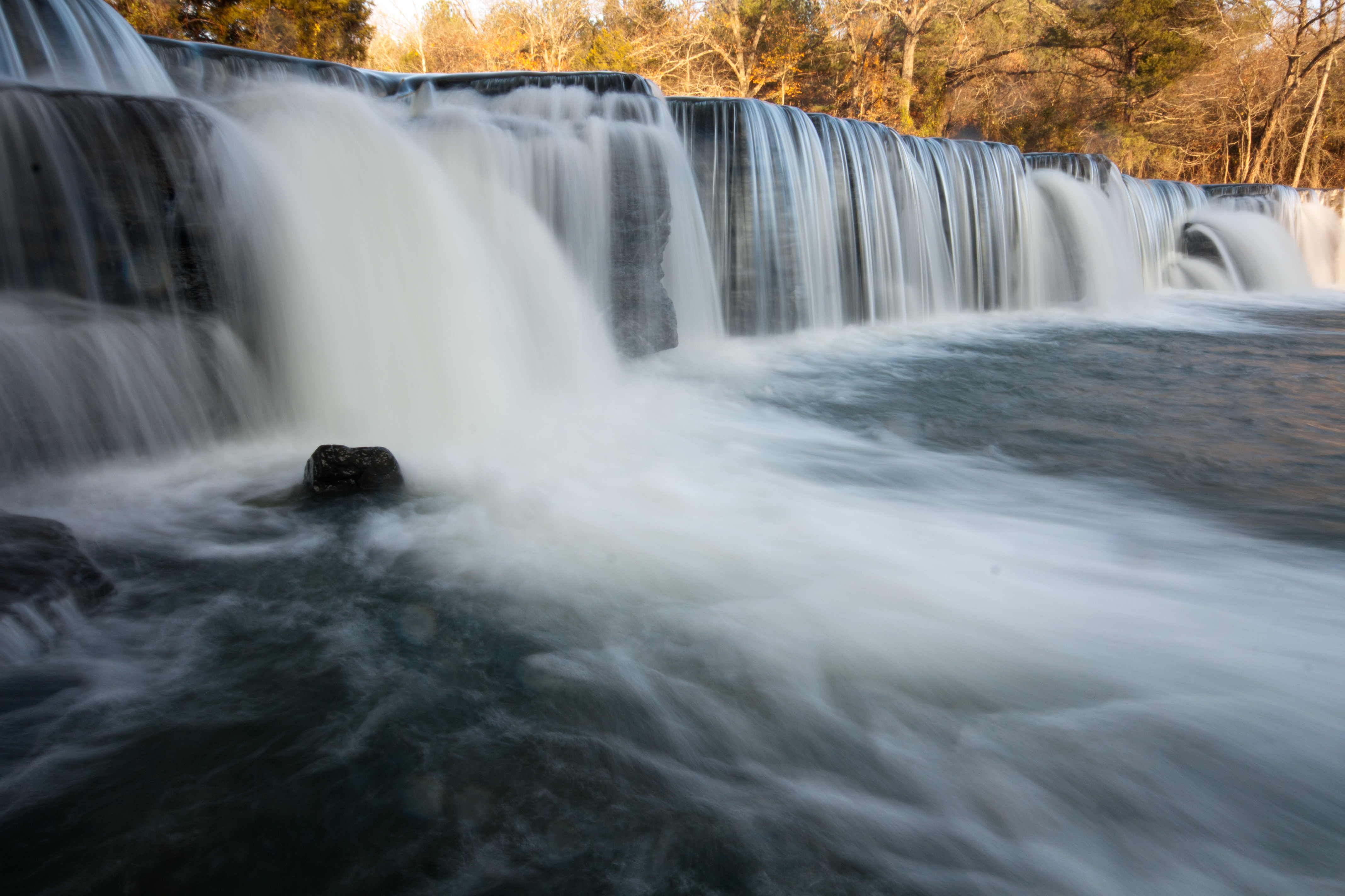
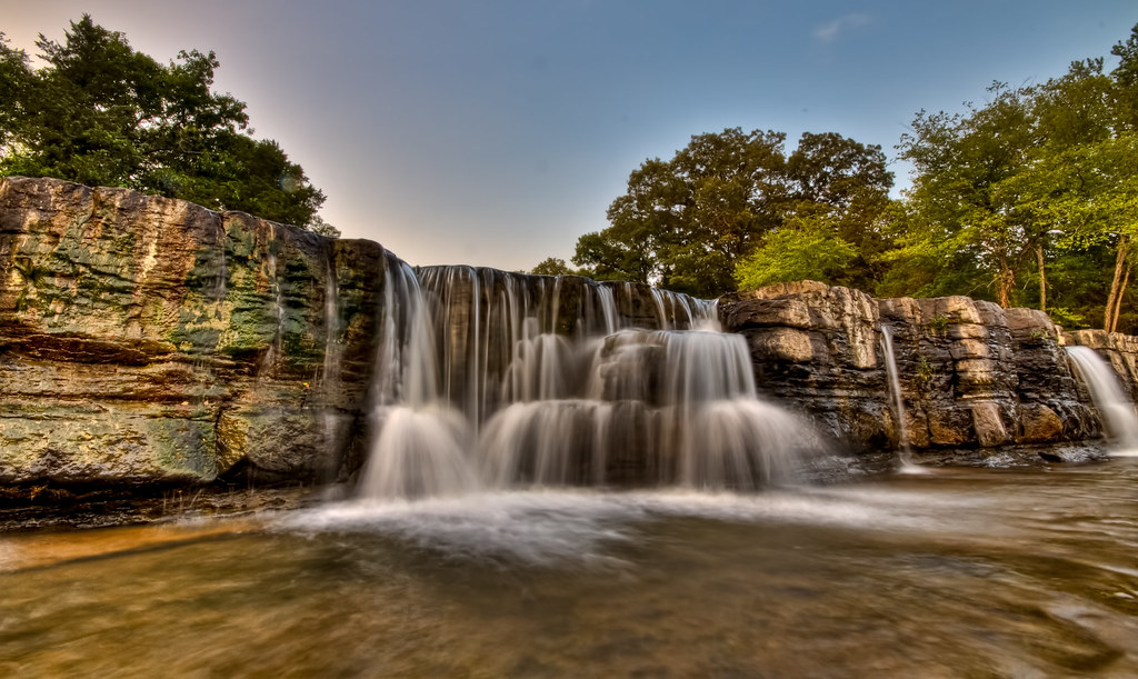
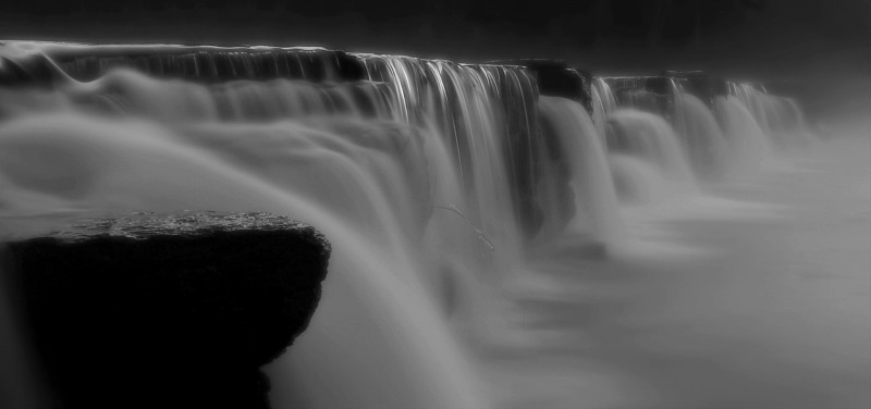
Natural Dam 1
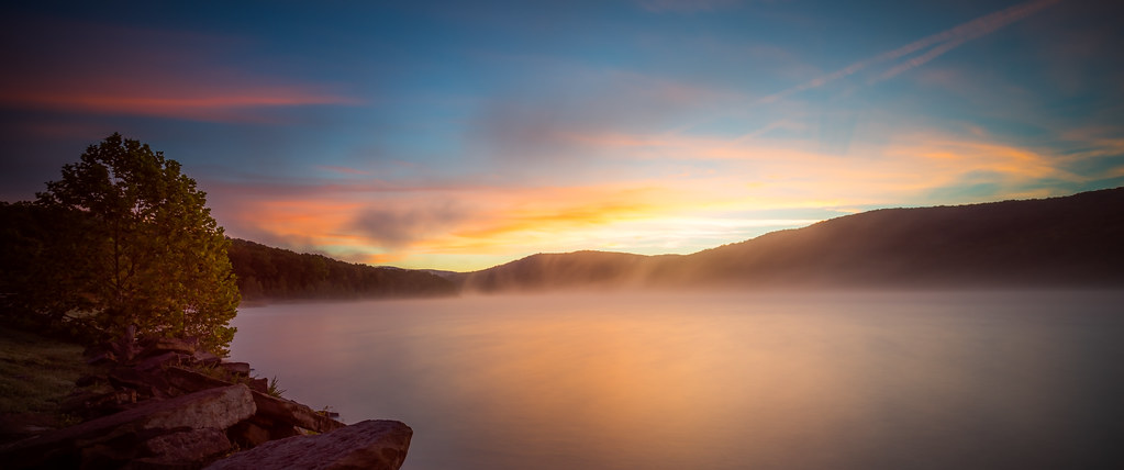
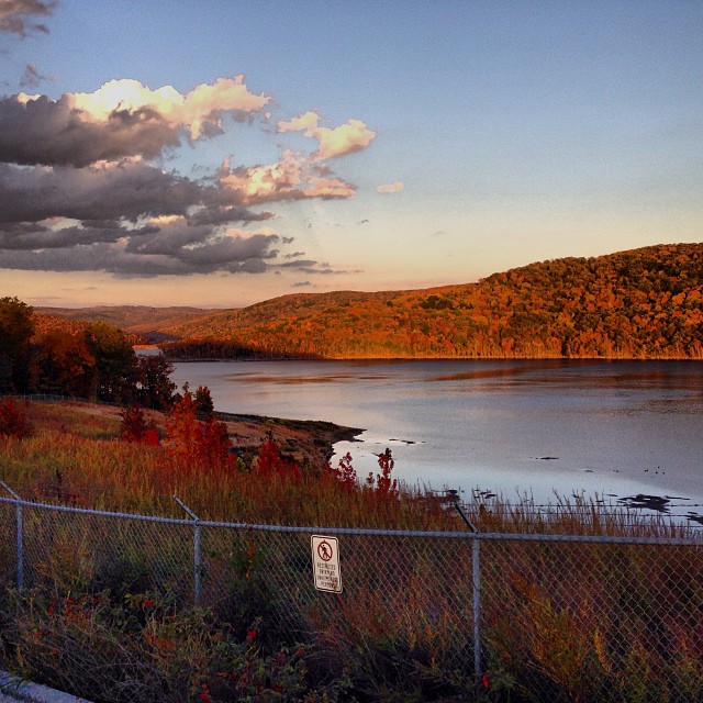
Lake Ft. Smith
Great White........

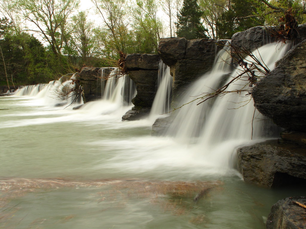
"Down The Creek"
the natural dam
Highway 71 #igersarkansas_autumn @igersarkansas #foliage #autumn #arkansas
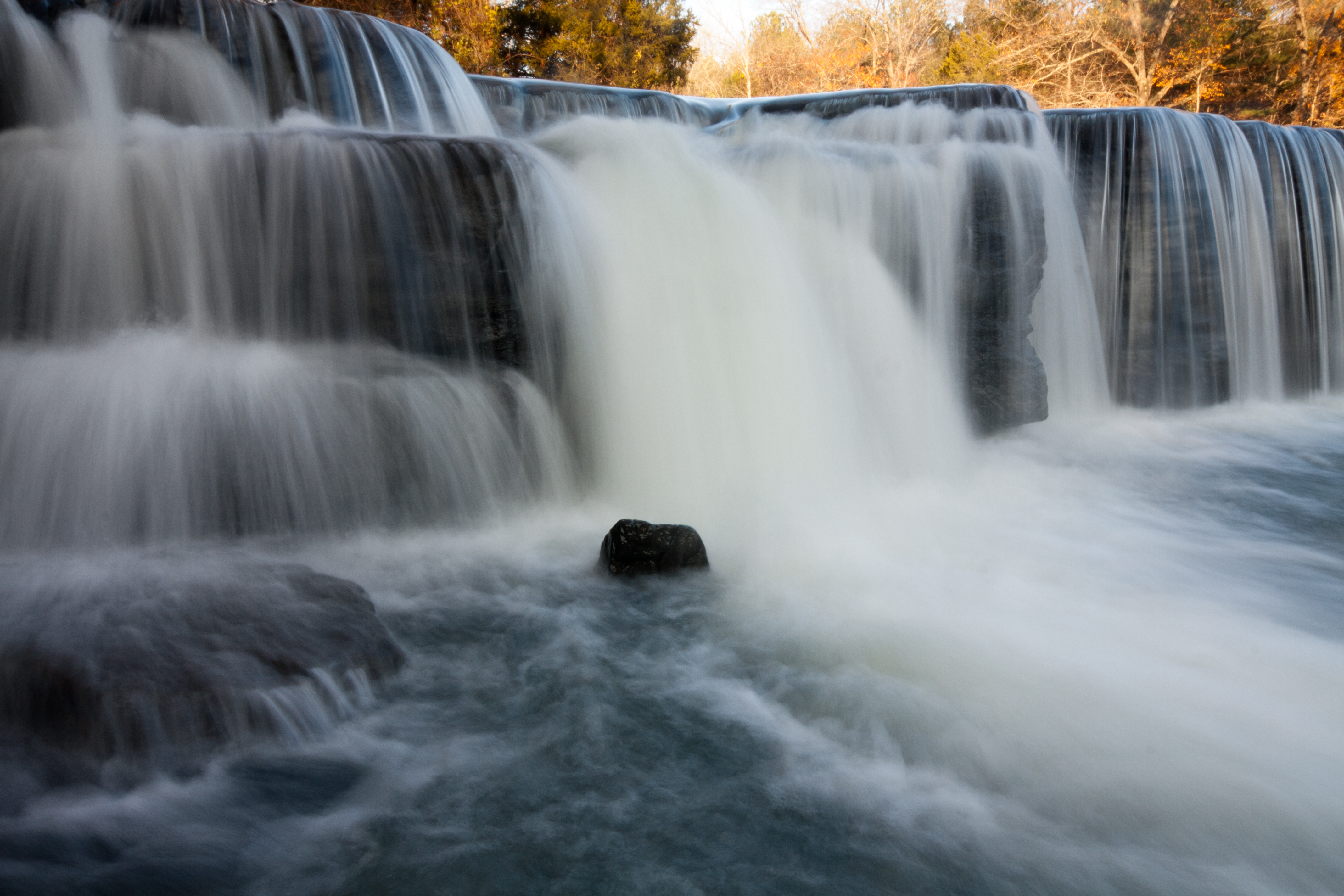
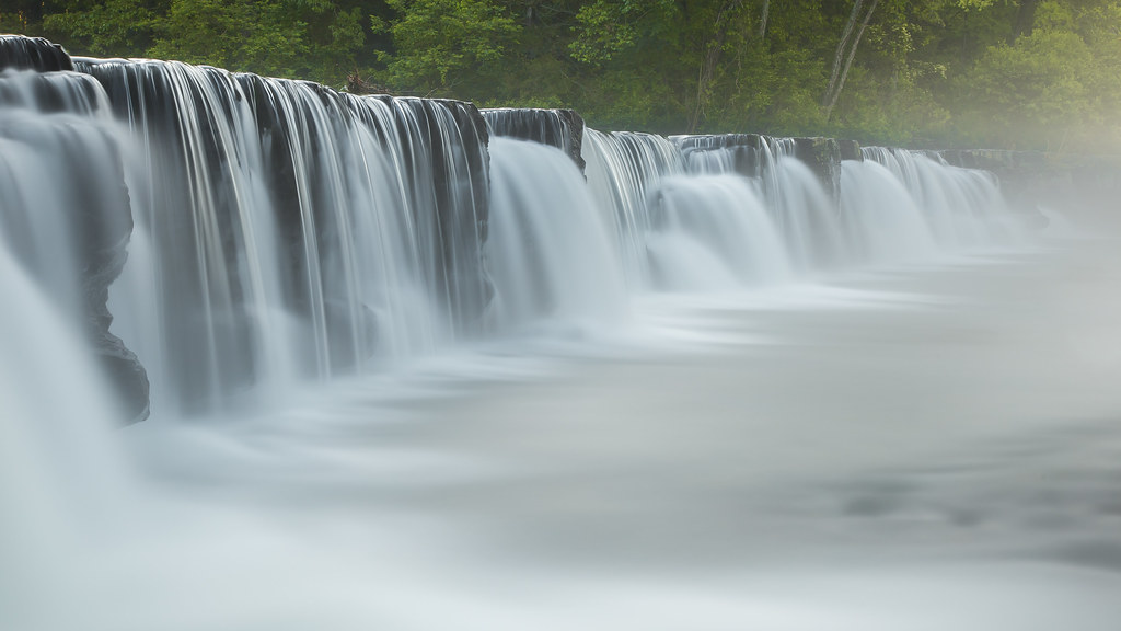
Natural Dam 2
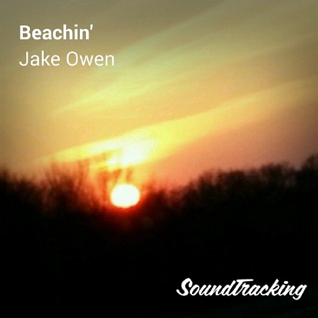
#Soundtracking #sunset #Arkansas
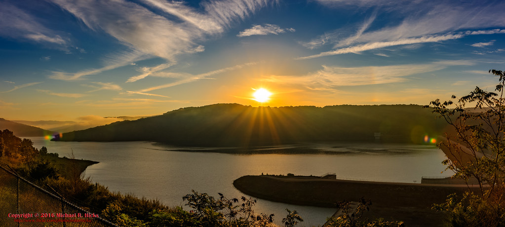
Boston Mountains Scenic Highway - Lake Fort Smith Overlook
Falls at Sunset
Natural Dam
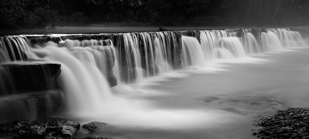
Natural Dam revisited
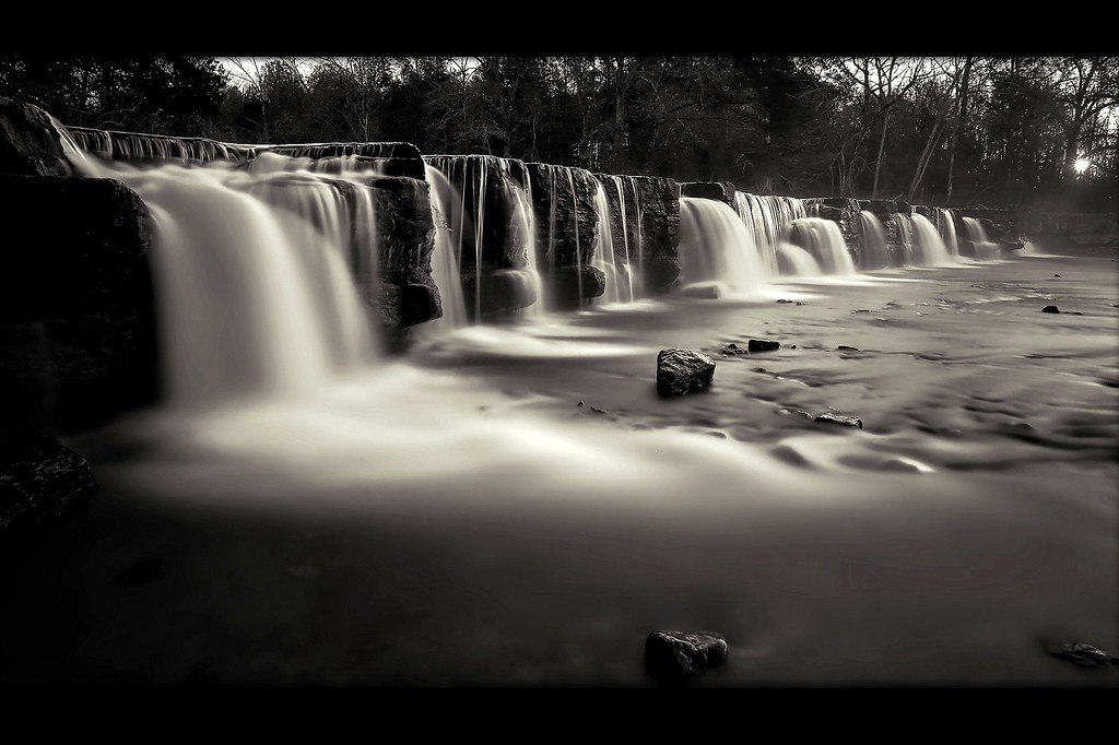
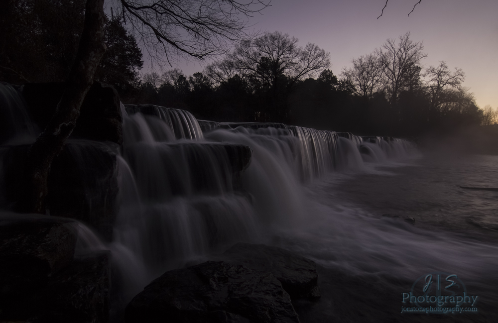
Natural Dam at sunrise
Natural Dam before sunrise

Boston Mountains Scenic Highway - Lake Fort Smith Overlook
Natural Dam
Old 81 Loop, Rudy, AR, USA Map
Search another place
Near Places
Hobbtown Rd, Rudy, AR, USA
Cedar Creek Township, AR, USA
Crawford County, AR, USA
Oliver Springs Township, AR, USA
Rudy, AR, USA
Old Rudy Rd, Alma, AR, USA
Rudy Township, AR, USA
Old Rudy Rd, Alma, AR, USA
Kimberling Hill Dr, Alma, AR, USA
Collum Ln W, Alma, AR, USA
Laurel Way, Alma, AR, USA
Laurel Way, Alma, AR, USA
Bond Special Rd, Van Buren, AR, USA
AR-59, Cedarville, AR, USA
Cedarville, AR, USA
N Hwy 71, Alma, AR, USA
Cedarville Township, AR, USA
Commerce Dr, Alma, AR, USA
Alma Township, AR, USA
Alma, AR, USA
Recent Searches
- Sunrise Sunset Times of Red Dog Mine, AK, USA
- Sunrise Sunset Times of Am Bahnhof, Am bhf, Borken, Germany
- Sunrise Sunset Times of 4th St E, Sonoma, CA, USA
- Sunrise Sunset Times of Oakland Ave, Williamsport, PA, USA
- Sunrise Sunset Times of Via Roma, Pieranica CR, Italy
- Sunrise Sunset Times of Clock Tower of Dubrovnik, Grad, Dubrovnik, Croatia
- Sunrise Sunset Times of Trelew, Chubut Province, Argentina
- Sunrise Sunset Times of Hartfords Bluff Cir, Mt Pleasant, SC, USA
- Sunrise Sunset Times of Kita Ward, Kumamoto, Japan
- Sunrise Sunset Times of Pingtan Island, Pingtan County, Fuzhou, China