Sunrise Sunset Times of National Forest Development Road 90, NF-90, Cougar, WA, USA
Location: United States > Washington > Skamania County >
Timezone:
America/Los_Angeles
Current Time:
2025-07-10 22:52:21
Longitude:
-121.8565684
Latitude:
46.1747611
Sunrise Today:
05:27:53 AM
Sunset Today:
08:58:15 PM
Daylength Today:
15h 30m 22s
Sunrise Tomorrow:
05:28:47 AM
Sunset Tomorrow:
08:57:36 PM
Daylength Tomorrow:
15h 28m 49s
Year Show All Dates
| Date | Sunrise | Sunset | Daylength |
|---|---|---|---|
| 01/01/2025 | 07:49:52 AM | 04:33:26 PM | 8h 43m 34s |
| 01/02/2025 | 07:49:48 AM | 04:34:25 PM | 8h 44m 37s |
| 01/03/2025 | 07:49:41 AM | 04:35:26 PM | 8h 45m 45s |
| 01/04/2025 | 07:49:31 AM | 04:36:29 PM | 8h 46m 58s |
| 01/05/2025 | 07:49:19 AM | 04:37:34 PM | 8h 48m 15s |
| 01/06/2025 | 07:49:04 AM | 04:38:41 PM | 8h 49m 37s |
| 01/07/2025 | 07:48:46 AM | 04:39:49 PM | 8h 51m 3s |
| 01/08/2025 | 07:48:26 AM | 04:40:59 PM | 8h 52m 33s |
| 01/09/2025 | 07:48:03 AM | 04:42:11 PM | 8h 54m 8s |
| 01/10/2025 | 07:47:37 AM | 04:43:24 PM | 8h 55m 47s |
| 01/11/2025 | 07:47:08 AM | 04:44:38 PM | 8h 57m 30s |
| 01/12/2025 | 07:46:38 AM | 04:45:53 PM | 8h 59m 15s |
| 01/13/2025 | 07:46:04 AM | 04:47:10 PM | 9h 1m 6s |
| 01/14/2025 | 07:45:28 AM | 04:48:29 PM | 9h 3m 1s |
| 01/15/2025 | 07:44:50 AM | 04:49:48 PM | 9h 4m 58s |
| 01/16/2025 | 07:44:09 AM | 04:51:08 PM | 9h 6m 59s |
| 01/17/2025 | 07:43:25 AM | 04:52:29 PM | 9h 9m 4s |
| 01/18/2025 | 07:42:39 AM | 04:53:52 PM | 9h 11m 13s |
| 01/19/2025 | 07:41:51 AM | 04:55:15 PM | 9h 13m 24s |
| 01/20/2025 | 07:41:01 AM | 04:56:39 PM | 9h 15m 38s |
| 01/21/2025 | 07:40:08 AM | 04:58:03 PM | 9h 17m 55s |
| 01/22/2025 | 07:39:13 AM | 04:59:29 PM | 9h 20m 16s |
| 01/23/2025 | 07:38:16 AM | 05:00:55 PM | 9h 22m 39s |
| 01/24/2025 | 07:37:17 AM | 05:02:21 PM | 9h 25m 4s |
| 01/25/2025 | 07:36:15 AM | 05:03:48 PM | 9h 27m 33s |
| 01/26/2025 | 07:35:12 AM | 05:05:16 PM | 9h 30m 4s |
| 01/27/2025 | 07:34:06 AM | 05:06:44 PM | 9h 32m 38s |
| 01/28/2025 | 07:32:58 AM | 05:08:12 PM | 9h 35m 14s |
| 01/29/2025 | 07:31:49 AM | 05:09:41 PM | 9h 37m 52s |
| 01/30/2025 | 07:30:37 AM | 05:11:10 PM | 9h 40m 33s |
| 01/31/2025 | 07:29:24 AM | 05:12:39 PM | 9h 43m 15s |
| 02/01/2025 | 07:28:09 AM | 05:14:09 PM | 9h 46m 0s |
| 02/02/2025 | 07:26:52 AM | 05:15:38 PM | 9h 48m 46s |
| 02/03/2025 | 07:25:33 AM | 05:17:08 PM | 9h 51m 35s |
| 02/04/2025 | 07:24:13 AM | 05:18:38 PM | 9h 54m 25s |
| 02/05/2025 | 07:22:51 AM | 05:20:08 PM | 9h 57m 17s |
| 02/06/2025 | 07:21:27 AM | 05:21:37 PM | 10h 0m 10s |
| 02/07/2025 | 07:20:02 AM | 05:23:07 PM | 10h 3m 5s |
| 02/08/2025 | 07:18:35 AM | 05:24:37 PM | 10h 6m 2s |
| 02/09/2025 | 07:17:07 AM | 05:26:07 PM | 10h 9m 0s |
| 02/10/2025 | 07:15:37 AM | 05:27:36 PM | 10h 11m 59s |
| 02/11/2025 | 07:14:06 AM | 05:29:06 PM | 10h 15m 0s |
| 02/12/2025 | 07:12:34 AM | 05:30:35 PM | 10h 18m 1s |
| 02/13/2025 | 07:11:00 AM | 05:32:04 PM | 10h 21m 4s |
| 02/14/2025 | 07:09:25 AM | 05:33:33 PM | 10h 24m 8s |
| 02/15/2025 | 07:07:49 AM | 05:35:02 PM | 10h 27m 13s |
| 02/16/2025 | 07:06:11 AM | 05:36:31 PM | 10h 30m 20s |
| 02/17/2025 | 07:04:33 AM | 05:37:59 PM | 10h 33m 26s |
| 02/18/2025 | 07:02:53 AM | 05:39:27 PM | 10h 36m 34s |
| 02/19/2025 | 07:01:12 AM | 05:40:55 PM | 10h 39m 43s |
| 02/20/2025 | 06:59:30 AM | 05:42:23 PM | 10h 42m 53s |
| 02/21/2025 | 06:57:48 AM | 05:43:50 PM | 10h 46m 2s |
| 02/22/2025 | 06:56:04 AM | 05:45:17 PM | 10h 49m 13s |
| 02/23/2025 | 06:54:19 AM | 05:46:44 PM | 10h 52m 25s |
| 02/24/2025 | 06:52:34 AM | 05:48:11 PM | 10h 55m 37s |
| 02/25/2025 | 06:50:47 AM | 05:49:37 PM | 10h 58m 50s |
| 02/26/2025 | 06:49:00 AM | 05:51:03 PM | 11h 2m 3s |
| 02/27/2025 | 06:47:12 AM | 05:52:29 PM | 11h 5m 17s |
| 02/28/2025 | 06:45:23 AM | 05:53:54 PM | 11h 8m 31s |
| 03/01/2025 | 06:43:33 AM | 05:55:20 PM | 11h 11m 47s |
| 03/02/2025 | 06:41:43 AM | 05:56:44 PM | 11h 15m 1s |
| 03/03/2025 | 06:39:52 AM | 05:58:09 PM | 11h 18m 17s |
| 03/04/2025 | 06:38:01 AM | 05:59:33 PM | 11h 21m 32s |
| 03/05/2025 | 06:36:09 AM | 06:00:57 PM | 11h 24m 48s |
| 03/06/2025 | 06:34:17 AM | 06:02:21 PM | 11h 28m 4s |
| 03/07/2025 | 06:32:23 AM | 06:03:45 PM | 11h 31m 22s |
| 03/08/2025 | 06:30:30 AM | 06:05:08 PM | 11h 34m 38s |
| 03/09/2025 | 07:28:41 AM | 07:06:28 PM | 11h 37m 47s |
| 03/10/2025 | 07:26:46 AM | 07:07:51 PM | 11h 41m 5s |
| 03/11/2025 | 07:24:52 AM | 07:09:13 PM | 11h 44m 21s |
| 03/12/2025 | 07:22:57 AM | 07:10:36 PM | 11h 47m 39s |
| 03/13/2025 | 07:21:01 AM | 07:11:58 PM | 11h 50m 57s |
| 03/14/2025 | 07:19:06 AM | 07:13:20 PM | 11h 54m 14s |
| 03/15/2025 | 07:17:10 AM | 07:14:42 PM | 11h 57m 32s |
| 03/16/2025 | 07:15:14 AM | 07:16:03 PM | 12h 0m 49s |
| 03/17/2025 | 07:13:18 AM | 07:17:25 PM | 12h 4m 7s |
| 03/18/2025 | 07:11:21 AM | 07:18:46 PM | 12h 7m 25s |
| 03/19/2025 | 07:09:25 AM | 07:20:07 PM | 12h 10m 42s |
| 03/20/2025 | 07:07:28 AM | 07:21:28 PM | 12h 14m 0s |
| 03/21/2025 | 07:05:31 AM | 07:22:49 PM | 12h 17m 18s |
| 03/22/2025 | 07:03:35 AM | 07:24:10 PM | 12h 20m 35s |
| 03/23/2025 | 07:01:38 AM | 07:25:30 PM | 12h 23m 52s |
| 03/24/2025 | 06:59:41 AM | 07:26:51 PM | 12h 27m 10s |
| 03/25/2025 | 06:57:45 AM | 07:28:11 PM | 12h 30m 26s |
| 03/26/2025 | 06:55:48 AM | 07:29:31 PM | 12h 33m 43s |
| 03/27/2025 | 06:53:52 AM | 07:30:52 PM | 12h 37m 0s |
| 03/28/2025 | 06:51:55 AM | 07:32:12 PM | 12h 40m 17s |
| 03/29/2025 | 06:49:59 AM | 07:33:32 PM | 12h 43m 33s |
| 03/30/2025 | 06:48:04 AM | 07:34:52 PM | 12h 46m 48s |
| 03/31/2025 | 06:46:08 AM | 07:36:12 PM | 12h 50m 4s |
| 04/01/2025 | 06:44:13 AM | 07:37:32 PM | 12h 53m 19s |
| 04/02/2025 | 06:42:18 AM | 07:38:52 PM | 12h 56m 34s |
| 04/03/2025 | 06:40:23 AM | 07:40:11 PM | 12h 59m 48s |
| 04/04/2025 | 06:38:29 AM | 07:41:31 PM | 13h 3m 2s |
| 04/05/2025 | 06:36:35 AM | 07:42:51 PM | 13h 6m 16s |
| 04/06/2025 | 06:34:42 AM | 07:44:11 PM | 13h 9m 29s |
| 04/07/2025 | 06:32:49 AM | 07:45:31 PM | 13h 12m 42s |
| 04/08/2025 | 06:30:57 AM | 07:46:50 PM | 13h 15m 53s |
| 04/09/2025 | 06:29:05 AM | 07:48:10 PM | 13h 19m 5s |
| 04/10/2025 | 06:27:13 AM | 07:49:30 PM | 13h 22m 17s |
| 04/11/2025 | 06:25:23 AM | 07:50:50 PM | 13h 25m 27s |
| 04/12/2025 | 06:23:33 AM | 07:52:09 PM | 13h 28m 36s |
| 04/13/2025 | 06:21:43 AM | 07:53:29 PM | 13h 31m 46s |
| 04/14/2025 | 06:19:55 AM | 07:54:49 PM | 13h 34m 54s |
| 04/15/2025 | 06:18:07 AM | 07:56:09 PM | 13h 38m 2s |
| 04/16/2025 | 06:16:20 AM | 07:57:28 PM | 13h 41m 8s |
| 04/17/2025 | 06:14:33 AM | 07:58:48 PM | 13h 44m 15s |
| 04/18/2025 | 06:12:48 AM | 08:00:08 PM | 13h 47m 20s |
| 04/19/2025 | 06:11:03 AM | 08:01:27 PM | 13h 50m 24s |
| 04/20/2025 | 06:09:20 AM | 08:02:47 PM | 13h 53m 27s |
| 04/21/2025 | 06:07:37 AM | 08:04:06 PM | 13h 56m 29s |
| 04/22/2025 | 06:05:55 AM | 08:05:26 PM | 13h 59m 31s |
| 04/23/2025 | 06:04:14 AM | 08:06:45 PM | 14h 2m 31s |
| 04/24/2025 | 06:02:35 AM | 08:08:04 PM | 14h 5m 29s |
| 04/25/2025 | 06:00:56 AM | 08:09:23 PM | 14h 8m 27s |
| 04/26/2025 | 05:59:19 AM | 08:10:42 PM | 14h 11m 23s |
| 04/27/2025 | 05:57:42 AM | 08:12:01 PM | 14h 14m 19s |
| 04/28/2025 | 05:56:07 AM | 08:13:20 PM | 14h 17m 13s |
| 04/29/2025 | 05:54:33 AM | 08:14:38 PM | 14h 20m 5s |
| 04/30/2025 | 05:53:01 AM | 08:15:57 PM | 14h 22m 56s |
| 05/01/2025 | 05:51:30 AM | 08:17:15 PM | 14h 25m 45s |
| 05/02/2025 | 05:50:00 AM | 08:18:32 PM | 14h 28m 32s |
| 05/03/2025 | 05:48:31 AM | 08:19:50 PM | 14h 31m 19s |
| 05/04/2025 | 05:47:04 AM | 08:21:07 PM | 14h 34m 3s |
| 05/05/2025 | 05:45:38 AM | 08:22:24 PM | 14h 36m 46s |
| 05/06/2025 | 05:44:14 AM | 08:23:40 PM | 14h 39m 26s |
| 05/07/2025 | 05:42:52 AM | 08:24:57 PM | 14h 42m 5s |
| 05/08/2025 | 05:41:31 AM | 08:26:12 PM | 14h 44m 41s |
| 05/09/2025 | 05:40:11 AM | 08:27:27 PM | 14h 47m 16s |
| 05/10/2025 | 05:38:54 AM | 08:28:42 PM | 14h 49m 48s |
| 05/11/2025 | 05:37:38 AM | 08:29:56 PM | 14h 52m 18s |
| 05/12/2025 | 05:36:23 AM | 08:31:10 PM | 14h 54m 47s |
| 05/13/2025 | 05:35:11 AM | 08:32:22 PM | 14h 57m 11s |
| 05/14/2025 | 05:34:00 AM | 08:33:35 PM | 14h 59m 35s |
| 05/15/2025 | 05:32:51 AM | 08:34:46 PM | 15h 1m 55s |
| 05/16/2025 | 05:31:44 AM | 08:35:57 PM | 15h 4m 13s |
| 05/17/2025 | 05:30:39 AM | 08:37:07 PM | 15h 6m 28s |
| 05/18/2025 | 05:29:36 AM | 08:38:16 PM | 15h 8m 40s |
| 05/19/2025 | 05:28:35 AM | 08:39:24 PM | 15h 10m 49s |
| 05/20/2025 | 05:27:36 AM | 08:40:31 PM | 15h 12m 55s |
| 05/21/2025 | 05:26:39 AM | 08:41:37 PM | 15h 14m 58s |
| 05/22/2025 | 05:25:44 AM | 08:42:42 PM | 15h 16m 58s |
| 05/23/2025 | 05:24:51 AM | 08:43:46 PM | 15h 18m 55s |
| 05/24/2025 | 05:24:00 AM | 08:44:49 PM | 15h 20m 49s |
| 05/25/2025 | 05:23:12 AM | 08:45:51 PM | 15h 22m 39s |
| 05/26/2025 | 05:22:26 AM | 08:46:51 PM | 15h 24m 25s |
| 05/27/2025 | 05:21:42 AM | 08:47:50 PM | 15h 26m 8s |
| 05/28/2025 | 05:21:00 AM | 08:48:48 PM | 15h 27m 48s |
| 05/29/2025 | 05:20:20 AM | 08:49:44 PM | 15h 29m 24s |
| 05/30/2025 | 05:19:43 AM | 08:50:39 PM | 15h 30m 56s |
| 05/31/2025 | 05:19:08 AM | 08:51:33 PM | 15h 32m 25s |
| 06/01/2025 | 05:18:36 AM | 08:52:24 PM | 15h 33m 48s |
| 06/02/2025 | 05:18:06 AM | 08:53:14 PM | 15h 35m 8s |
| 06/03/2025 | 05:17:38 AM | 08:54:03 PM | 15h 36m 25s |
| 06/04/2025 | 05:17:12 AM | 08:54:50 PM | 15h 37m 38s |
| 06/05/2025 | 05:16:49 AM | 08:55:34 PM | 15h 38m 45s |
| 06/06/2025 | 05:16:29 AM | 08:56:17 PM | 15h 39m 48s |
| 06/07/2025 | 05:16:11 AM | 08:56:59 PM | 15h 40m 48s |
| 06/08/2025 | 05:15:55 AM | 08:57:38 PM | 15h 41m 43s |
| 06/09/2025 | 05:15:42 AM | 08:58:15 PM | 15h 42m 33s |
| 06/10/2025 | 05:15:31 AM | 08:58:50 PM | 15h 43m 19s |
| 06/11/2025 | 05:15:23 AM | 08:59:24 PM | 15h 44m 1s |
| 06/12/2025 | 05:15:17 AM | 08:59:55 PM | 15h 44m 38s |
| 06/13/2025 | 05:15:13 AM | 09:00:24 PM | 15h 45m 11s |
| 06/14/2025 | 05:15:12 AM | 09:00:50 PM | 15h 45m 38s |
| 06/15/2025 | 05:15:13 AM | 09:01:15 PM | 15h 46m 2s |
| 06/16/2025 | 05:15:17 AM | 09:01:37 PM | 15h 46m 20s |
| 06/17/2025 | 05:15:23 AM | 09:01:57 PM | 15h 46m 34s |
| 06/18/2025 | 05:15:32 AM | 09:02:15 PM | 15h 46m 43s |
| 06/19/2025 | 05:15:43 AM | 09:02:30 PM | 15h 46m 47s |
| 06/20/2025 | 05:15:56 AM | 09:02:43 PM | 15h 46m 47s |
| 06/21/2025 | 05:16:11 AM | 09:02:54 PM | 15h 46m 43s |
| 06/22/2025 | 05:16:29 AM | 09:03:02 PM | 15h 46m 33s |
| 06/23/2025 | 05:16:49 AM | 09:03:08 PM | 15h 46m 19s |
| 06/24/2025 | 05:17:11 AM | 09:03:11 PM | 15h 46m 0s |
| 06/25/2025 | 05:17:35 AM | 09:03:12 PM | 15h 45m 37s |
| 06/26/2025 | 05:18:02 AM | 09:03:11 PM | 15h 45m 9s |
| 06/27/2025 | 05:18:30 AM | 09:03:06 PM | 15h 44m 36s |
| 06/28/2025 | 05:19:01 AM | 09:03:00 PM | 15h 43m 59s |
| 06/29/2025 | 05:19:34 AM | 09:02:51 PM | 15h 43m 17s |
| 06/30/2025 | 05:20:08 AM | 09:02:39 PM | 15h 42m 31s |
| 07/01/2025 | 05:20:45 AM | 09:02:25 PM | 15h 41m 40s |
| 07/02/2025 | 05:21:23 AM | 09:02:09 PM | 15h 40m 46s |
| 07/03/2025 | 05:22:04 AM | 09:01:50 PM | 15h 39m 46s |
| 07/04/2025 | 05:22:46 AM | 09:01:29 PM | 15h 38m 43s |
| 07/05/2025 | 05:23:30 AM | 09:01:05 PM | 15h 37m 35s |
| 07/06/2025 | 05:24:15 AM | 09:00:38 PM | 15h 36m 23s |
| 07/07/2025 | 05:25:02 AM | 09:00:10 PM | 15h 35m 8s |
| 07/08/2025 | 05:25:51 AM | 08:59:38 PM | 15h 33m 47s |
| 07/09/2025 | 05:26:42 AM | 08:59:05 PM | 15h 32m 23s |
| 07/10/2025 | 05:27:33 AM | 08:58:29 PM | 15h 30m 56s |
| 07/11/2025 | 05:28:27 AM | 08:57:51 PM | 15h 29m 24s |
| 07/12/2025 | 05:29:21 AM | 08:57:10 PM | 15h 27m 49s |
| 07/13/2025 | 05:30:17 AM | 08:56:27 PM | 15h 26m 10s |
| 07/14/2025 | 05:31:15 AM | 08:55:42 PM | 15h 24m 27s |
| 07/15/2025 | 05:32:13 AM | 08:54:55 PM | 15h 22m 42s |
| 07/16/2025 | 05:33:13 AM | 08:54:05 PM | 15h 20m 52s |
| 07/17/2025 | 05:34:14 AM | 08:53:13 PM | 15h 18m 59s |
| 07/18/2025 | 05:35:16 AM | 08:52:19 PM | 15h 17m 3s |
| 07/19/2025 | 05:36:18 AM | 08:51:23 PM | 15h 15m 5s |
| 07/20/2025 | 05:37:22 AM | 08:50:25 PM | 15h 13m 3s |
| 07/21/2025 | 05:38:27 AM | 08:49:24 PM | 15h 10m 57s |
| 07/22/2025 | 05:39:33 AM | 08:48:22 PM | 15h 8m 49s |
| 07/23/2025 | 05:40:39 AM | 08:47:17 PM | 15h 6m 38s |
| 07/24/2025 | 05:41:46 AM | 08:46:11 PM | 15h 4m 25s |
| 07/25/2025 | 05:42:54 AM | 08:45:03 PM | 15h 2m 9s |
| 07/26/2025 | 05:44:03 AM | 08:43:53 PM | 14h 59m 50s |
| 07/27/2025 | 05:45:13 AM | 08:42:41 PM | 14h 57m 28s |
| 07/28/2025 | 05:46:22 AM | 08:41:27 PM | 14h 55m 5s |
| 07/29/2025 | 05:47:33 AM | 08:40:11 PM | 14h 52m 38s |
| 07/30/2025 | 05:48:44 AM | 08:38:54 PM | 14h 50m 10s |
| 07/31/2025 | 05:49:55 AM | 08:37:35 PM | 14h 47m 40s |
| 08/01/2025 | 05:51:07 AM | 08:36:14 PM | 14h 45m 7s |
| 08/02/2025 | 05:52:20 AM | 08:34:52 PM | 14h 42m 32s |
| 08/03/2025 | 05:53:33 AM | 08:33:28 PM | 14h 39m 55s |
| 08/04/2025 | 05:54:46 AM | 08:32:03 PM | 14h 37m 17s |
| 08/05/2025 | 05:55:59 AM | 08:30:36 PM | 14h 34m 37s |
| 08/06/2025 | 05:57:13 AM | 08:29:07 PM | 14h 31m 54s |
| 08/07/2025 | 05:58:27 AM | 08:27:38 PM | 14h 29m 11s |
| 08/08/2025 | 05:59:41 AM | 08:26:06 PM | 14h 26m 25s |
| 08/09/2025 | 06:00:55 AM | 08:24:34 PM | 14h 23m 39s |
| 08/10/2025 | 06:02:10 AM | 08:23:00 PM | 14h 20m 50s |
| 08/11/2025 | 06:03:24 AM | 08:21:25 PM | 14h 18m 1s |
| 08/12/2025 | 06:04:39 AM | 08:19:48 PM | 14h 15m 9s |
| 08/13/2025 | 06:05:54 AM | 08:18:10 PM | 14h 12m 16s |
| 08/14/2025 | 06:07:09 AM | 08:16:32 PM | 14h 9m 23s |
| 08/15/2025 | 06:08:25 AM | 08:14:52 PM | 14h 6m 27s |
| 08/16/2025 | 06:09:40 AM | 08:13:11 PM | 14h 3m 31s |
| 08/17/2025 | 06:10:55 AM | 08:11:28 PM | 14h 0m 33s |
| 08/18/2025 | 06:12:10 AM | 08:09:45 PM | 13h 57m 35s |
| 08/19/2025 | 06:13:26 AM | 08:08:01 PM | 13h 54m 35s |
| 08/20/2025 | 06:14:41 AM | 08:06:16 PM | 13h 51m 35s |
| 08/21/2025 | 06:15:56 AM | 08:04:30 PM | 13h 48m 34s |
| 08/22/2025 | 06:17:12 AM | 08:02:43 PM | 13h 45m 31s |
| 08/23/2025 | 06:18:27 AM | 08:00:55 PM | 13h 42m 28s |
| 08/24/2025 | 06:19:43 AM | 07:59:07 PM | 13h 39m 24s |
| 08/25/2025 | 06:20:58 AM | 07:57:18 PM | 13h 36m 20s |
| 08/26/2025 | 06:22:13 AM | 07:55:27 PM | 13h 33m 14s |
| 08/27/2025 | 06:23:28 AM | 07:53:37 PM | 13h 30m 9s |
| 08/28/2025 | 06:24:44 AM | 07:51:45 PM | 13h 27m 1s |
| 08/29/2025 | 06:25:59 AM | 07:49:53 PM | 13h 23m 54s |
| 08/30/2025 | 06:27:14 AM | 07:48:00 PM | 13h 20m 46s |
| 08/31/2025 | 06:28:29 AM | 07:46:07 PM | 13h 17m 38s |
| 09/01/2025 | 06:29:45 AM | 07:44:13 PM | 13h 14m 28s |
| 09/02/2025 | 06:31:00 AM | 07:42:19 PM | 13h 11m 19s |
| 09/03/2025 | 06:32:15 AM | 07:40:24 PM | 13h 8m 9s |
| 09/04/2025 | 06:33:30 AM | 07:38:28 PM | 13h 4m 58s |
| 09/05/2025 | 06:34:45 AM | 07:36:33 PM | 13h 1m 48s |
| 09/06/2025 | 06:36:00 AM | 07:34:36 PM | 12h 58m 36s |
| 09/07/2025 | 06:37:16 AM | 07:32:40 PM | 12h 55m 24s |
| 09/08/2025 | 06:38:31 AM | 07:30:43 PM | 12h 52m 12s |
| 09/09/2025 | 06:39:46 AM | 07:28:46 PM | 12h 49m 0s |
| 09/10/2025 | 06:41:01 AM | 07:26:48 PM | 12h 45m 47s |
| 09/11/2025 | 06:42:16 AM | 07:24:51 PM | 12h 42m 35s |
| 09/12/2025 | 06:43:32 AM | 07:22:53 PM | 12h 39m 21s |
| 09/13/2025 | 06:44:47 AM | 07:20:55 PM | 12h 36m 8s |
| 09/14/2025 | 06:46:02 AM | 07:18:56 PM | 12h 32m 54s |
| 09/15/2025 | 06:47:18 AM | 07:16:58 PM | 12h 29m 40s |
| 09/16/2025 | 06:48:33 AM | 07:14:59 PM | 12h 26m 26s |
| 09/17/2025 | 06:49:49 AM | 07:13:01 PM | 12h 23m 12s |
| 09/18/2025 | 06:51:05 AM | 07:11:02 PM | 12h 19m 57s |
| 09/19/2025 | 06:52:21 AM | 07:09:04 PM | 12h 16m 43s |
| 09/20/2025 | 06:53:37 AM | 07:07:05 PM | 12h 13m 28s |
| 09/21/2025 | 06:54:53 AM | 07:05:07 PM | 12h 10m 14s |
| 09/22/2025 | 06:56:09 AM | 07:03:09 PM | 12h 7m 0s |
| 09/23/2025 | 06:57:25 AM | 07:01:10 PM | 12h 3m 45s |
| 09/24/2025 | 06:58:42 AM | 06:59:12 PM | 12h 0m 30s |
| 09/25/2025 | 06:59:59 AM | 06:57:14 PM | 11h 57m 15s |
| 09/26/2025 | 07:01:16 AM | 06:55:17 PM | 11h 54m 1s |
| 09/27/2025 | 07:02:33 AM | 06:53:19 PM | 11h 50m 46s |
| 09/28/2025 | 07:03:50 AM | 06:51:22 PM | 11h 47m 32s |
| 09/29/2025 | 07:05:08 AM | 06:49:25 PM | 11h 44m 17s |
| 09/30/2025 | 07:06:25 AM | 06:47:29 PM | 11h 41m 4s |
| 10/01/2025 | 07:07:43 AM | 06:45:32 PM | 11h 37m 49s |
| 10/02/2025 | 07:09:02 AM | 06:43:37 PM | 11h 34m 35s |
| 10/03/2025 | 07:10:20 AM | 06:41:41 PM | 11h 31m 21s |
| 10/04/2025 | 07:11:39 AM | 06:39:46 PM | 11h 28m 7s |
| 10/05/2025 | 07:12:58 AM | 06:37:52 PM | 11h 24m 54s |
| 10/06/2025 | 07:14:17 AM | 06:35:58 PM | 11h 21m 41s |
| 10/07/2025 | 07:15:37 AM | 06:34:05 PM | 11h 18m 28s |
| 10/08/2025 | 07:16:57 AM | 06:32:12 PM | 11h 15m 15s |
| 10/09/2025 | 07:18:17 AM | 06:30:20 PM | 11h 12m 3s |
| 10/10/2025 | 07:19:38 AM | 06:28:29 PM | 11h 8m 51s |
| 10/11/2025 | 07:20:58 AM | 06:26:38 PM | 11h 5m 40s |
| 10/12/2025 | 07:22:19 AM | 06:24:48 PM | 11h 2m 29s |
| 10/13/2025 | 07:23:41 AM | 06:22:59 PM | 10h 59m 18s |
| 10/14/2025 | 07:25:03 AM | 06:21:10 PM | 10h 56m 7s |
| 10/15/2025 | 07:26:25 AM | 06:19:23 PM | 10h 52m 58s |
| 10/16/2025 | 07:27:47 AM | 06:17:36 PM | 10h 49m 49s |
| 10/17/2025 | 07:29:09 AM | 06:15:50 PM | 10h 46m 41s |
| 10/18/2025 | 07:30:32 AM | 06:14:05 PM | 10h 43m 33s |
| 10/19/2025 | 07:31:56 AM | 06:12:21 PM | 10h 40m 25s |
| 10/20/2025 | 07:33:19 AM | 06:10:39 PM | 10h 37m 20s |
| 10/21/2025 | 07:34:43 AM | 06:08:57 PM | 10h 34m 14s |
| 10/22/2025 | 07:36:07 AM | 06:07:16 PM | 10h 31m 9s |
| 10/23/2025 | 07:37:31 AM | 06:05:36 PM | 10h 28m 5s |
| 10/24/2025 | 07:38:56 AM | 06:03:58 PM | 10h 25m 2s |
| 10/25/2025 | 07:40:20 AM | 06:02:21 PM | 10h 22m 1s |
| 10/26/2025 | 07:41:45 AM | 06:00:45 PM | 10h 19m 0s |
| 10/27/2025 | 07:43:11 AM | 05:59:10 PM | 10h 15m 59s |
| 10/28/2025 | 07:44:36 AM | 05:57:37 PM | 10h 13m 1s |
| 10/29/2025 | 07:46:02 AM | 05:56:05 PM | 10h 10m 3s |
| 10/30/2025 | 07:47:27 AM | 05:54:34 PM | 10h 7m 7s |
| 10/31/2025 | 07:48:53 AM | 05:53:05 PM | 10h 4m 12s |
| 11/01/2025 | 07:50:19 AM | 05:51:38 PM | 10h 1m 19s |
| 11/02/2025 | 06:51:49 AM | 04:50:08 PM | 9h 58m 19s |
| 11/03/2025 | 06:53:15 AM | 04:48:44 PM | 9h 55m 29s |
| 11/04/2025 | 06:54:41 AM | 04:47:21 PM | 9h 52m 40s |
| 11/05/2025 | 06:56:07 AM | 04:46:00 PM | 9h 49m 53s |
| 11/06/2025 | 06:57:34 AM | 04:44:41 PM | 9h 47m 7s |
| 11/07/2025 | 06:59:00 AM | 04:43:23 PM | 9h 44m 23s |
| 11/08/2025 | 07:00:26 AM | 04:42:07 PM | 9h 41m 41s |
| 11/09/2025 | 07:01:51 AM | 04:40:53 PM | 9h 39m 2s |
| 11/10/2025 | 07:03:17 AM | 04:39:41 PM | 9h 36m 24s |
| 11/11/2025 | 07:04:42 AM | 04:38:31 PM | 9h 33m 49s |
| 11/12/2025 | 07:06:07 AM | 04:37:23 PM | 9h 31m 16s |
| 11/13/2025 | 07:07:32 AM | 04:36:17 PM | 9h 28m 45s |
| 11/14/2025 | 07:08:56 AM | 04:35:13 PM | 9h 26m 17s |
| 11/15/2025 | 07:10:20 AM | 04:34:11 PM | 9h 23m 51s |
| 11/16/2025 | 07:11:44 AM | 04:33:11 PM | 9h 21m 27s |
| 11/17/2025 | 07:13:07 AM | 04:32:13 PM | 9h 19m 6s |
| 11/18/2025 | 07:14:29 AM | 04:31:18 PM | 9h 16m 49s |
| 11/19/2025 | 07:15:51 AM | 04:30:25 PM | 9h 14m 34s |
| 11/20/2025 | 07:17:12 AM | 04:29:34 PM | 9h 12m 22s |
| 11/21/2025 | 07:18:32 AM | 04:28:46 PM | 9h 10m 14s |
| 11/22/2025 | 07:19:52 AM | 04:27:59 PM | 9h 8m 7s |
| 11/23/2025 | 07:21:10 AM | 04:27:16 PM | 9h 6m 6s |
| 11/24/2025 | 07:22:28 AM | 04:26:35 PM | 9h 4m 7s |
| 11/25/2025 | 07:23:45 AM | 04:25:56 PM | 9h 2m 11s |
| 11/26/2025 | 07:25:00 AM | 04:25:20 PM | 9h 0m 20s |
| 11/27/2025 | 07:26:15 AM | 04:24:46 PM | 8h 58m 31s |
| 11/28/2025 | 07:27:28 AM | 04:24:15 PM | 8h 56m 47s |
| 11/29/2025 | 07:28:40 AM | 04:23:46 PM | 8h 55m 6s |
| 11/30/2025 | 07:29:51 AM | 04:23:21 PM | 8h 53m 30s |
| 12/01/2025 | 07:31:00 AM | 04:22:57 PM | 8h 51m 57s |
| 12/02/2025 | 07:32:08 AM | 04:22:37 PM | 8h 50m 29s |
| 12/03/2025 | 07:33:14 AM | 04:22:19 PM | 8h 49m 5s |
| 12/04/2025 | 07:34:19 AM | 04:22:04 PM | 8h 47m 45s |
| 12/05/2025 | 07:35:22 AM | 04:21:52 PM | 8h 46m 30s |
| 12/06/2025 | 07:36:23 AM | 04:21:42 PM | 8h 45m 19s |
| 12/07/2025 | 07:37:23 AM | 04:21:35 PM | 8h 44m 12s |
| 12/08/2025 | 07:38:20 AM | 04:21:31 PM | 8h 43m 11s |
| 12/09/2025 | 07:39:16 AM | 04:21:30 PM | 8h 42m 14s |
| 12/10/2025 | 07:40:10 AM | 04:21:32 PM | 8h 41m 22s |
| 12/11/2025 | 07:41:01 AM | 04:21:36 PM | 8h 40m 35s |
| 12/12/2025 | 07:41:51 AM | 04:21:43 PM | 8h 39m 52s |
| 12/13/2025 | 07:42:38 AM | 04:21:53 PM | 8h 39m 15s |
| 12/14/2025 | 07:43:24 AM | 04:22:05 PM | 8h 38m 41s |
| 12/15/2025 | 07:44:07 AM | 04:22:20 PM | 8h 38m 13s |
| 12/16/2025 | 07:44:47 AM | 04:22:38 PM | 8h 37m 51s |
| 12/17/2025 | 07:45:26 AM | 04:22:59 PM | 8h 37m 33s |
| 12/18/2025 | 07:46:01 AM | 04:23:23 PM | 8h 37m 22s |
| 12/19/2025 | 07:46:35 AM | 04:23:49 PM | 8h 37m 14s |
| 12/20/2025 | 07:47:06 AM | 04:24:17 PM | 8h 37m 11s |
| 12/21/2025 | 07:47:34 AM | 04:24:48 PM | 8h 37m 14s |
| 12/22/2025 | 07:48:00 AM | 04:25:22 PM | 8h 37m 22s |
| 12/23/2025 | 07:48:23 AM | 04:25:59 PM | 8h 37m 36s |
| 12/24/2025 | 07:48:44 AM | 04:26:37 PM | 8h 37m 53s |
| 12/25/2025 | 07:49:02 AM | 04:27:19 PM | 8h 38m 17s |
| 12/26/2025 | 07:49:17 AM | 04:28:02 PM | 8h 38m 45s |
| 12/27/2025 | 07:49:30 AM | 04:28:48 PM | 8h 39m 18s |
| 12/28/2025 | 07:49:40 AM | 04:29:36 PM | 8h 39m 56s |
| 12/29/2025 | 07:49:47 AM | 04:30:27 PM | 8h 40m 40s |
| 12/30/2025 | 07:49:52 AM | 04:31:20 PM | 8h 41m 28s |
| 12/31/2025 | 07:49:54 AM | 04:32:14 PM | 8h 42m 20s |
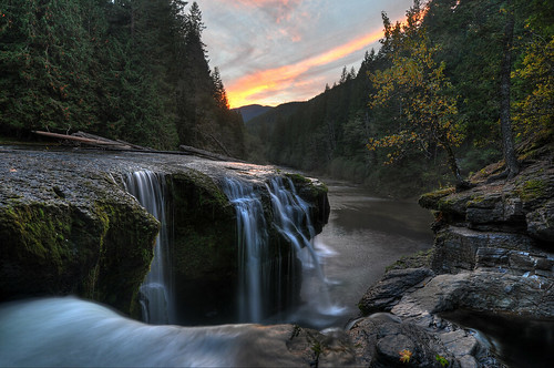
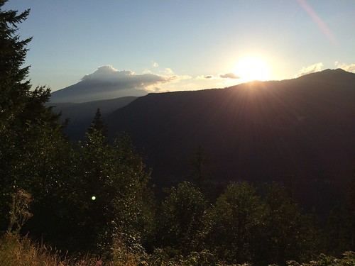
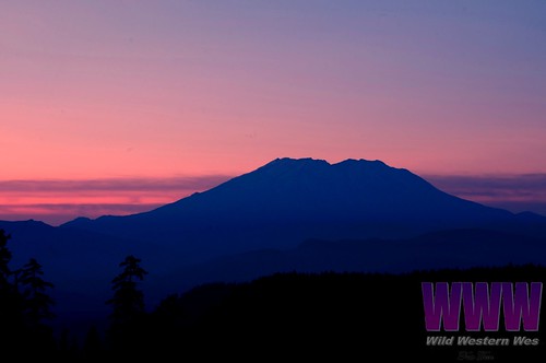
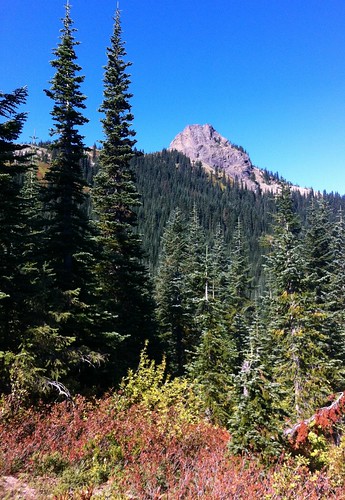
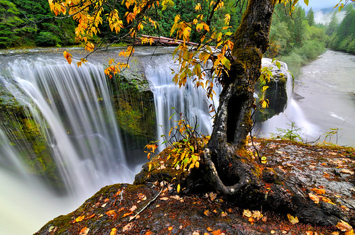
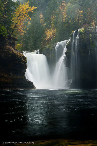
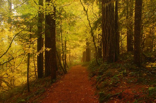
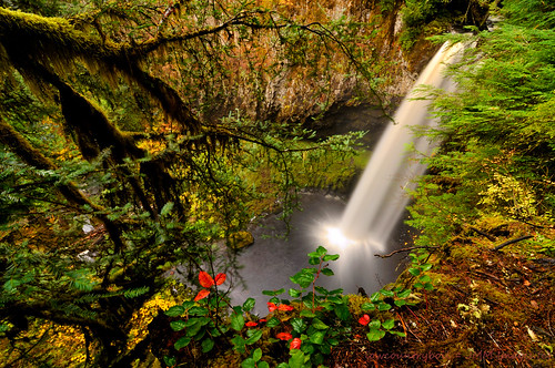
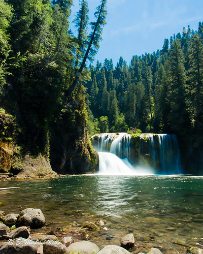
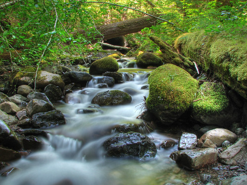
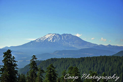
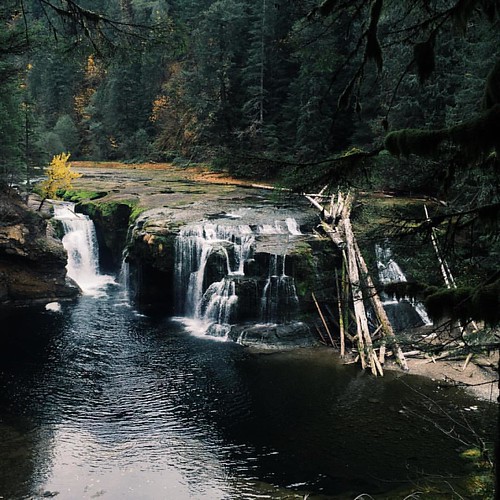
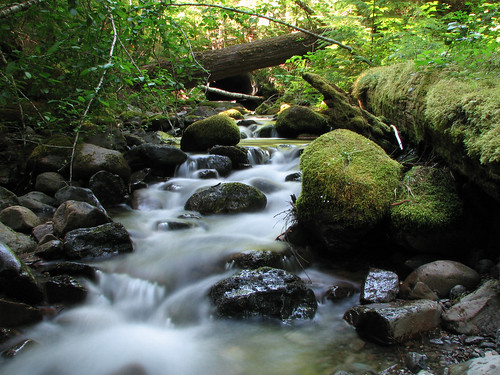
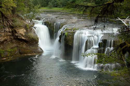
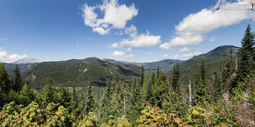
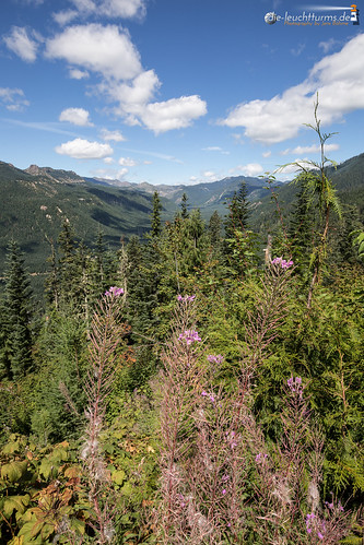
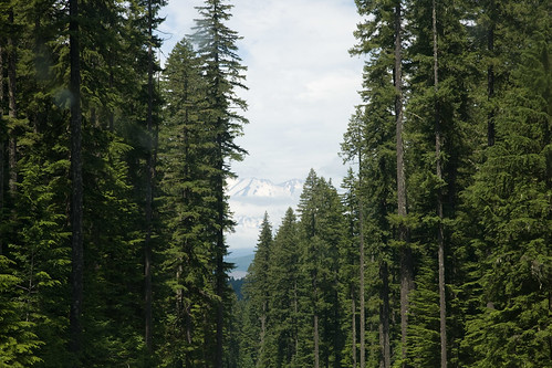
Sunrise & Sunset Photos
National Forest Development Road 90, NF-90, Cougar, WA, USA Map
Search another place
Near Places
French Butte, Washington, USA
Eagle Cliff Camp, NF-90, Cougar, WA, USA
Eagle Cliff Store and Campground, NF-90, Cougar, WA, USA
Skamania County, WA, USA
Flat Top Sno-Park, United States, Trout Lake, WA, USA
Falls Creek Falls, Washington, USA
Strawberry Mountain, Washington, USA
Cougar, WA, USA
Meadow Creek Road, Meadow Creek Rd, Carson, WA, USA
Unnamed Road, Cougar, WA, USA
Mount Whittier, Mt Whittier, Washington, USA
Dogs Head, Washington, USA
Atkisson Group Camp, WA-, Trout Lake, WA, USA
Mount St. Helens National Volcanic Monument, Spirit Lake Hwy, Castle Rock, WA, USA
Mount Saint Helens, Washington, USA
Horse Camp: Mt. Adams, NF-80, Trout Lake, WA, USA
Cascade Range
Cannavinna Rd, Carson, WA, USA
Ape Cave, Cougar, WA, USA
Trailhead: South Climb, Trout Lake, WA, USA
Recent Searches
- Sunrise Sunset Times of Red Dog Mine, AK, USA
- Sunrise Sunset Times of Am Bahnhof, Am bhf, Borken, Germany
- Sunrise Sunset Times of 4th St E, Sonoma, CA, USA
- Sunrise Sunset Times of Oakland Ave, Williamsport, PA, USA
- Sunrise Sunset Times of Via Roma, Pieranica CR, Italy
- Sunrise Sunset Times of Clock Tower of Dubrovnik, Grad, Dubrovnik, Croatia
- Sunrise Sunset Times of Trelew, Chubut Province, Argentina
- Sunrise Sunset Times of Hartfords Bluff Cir, Mt Pleasant, SC, USA
- Sunrise Sunset Times of Kita Ward, Kumamoto, Japan
- Sunrise Sunset Times of Pingtan Island, Pingtan County, Fuzhou, China
