Sunrise Sunset Times of Mount Crook, East Kootenay G, BC V0A, Canada
Location: Canada > British Columbia > Spillimacheen >
Timezone:
America/Edmonton
Current Time:
2025-06-09 20:42:47
Longitude:
-116.0583333
Latitude:
50.7949999
Sunrise Today:
05:30:58 AM
Sunset Today:
09:56:45 PM
Daylength Today:
16h 25m 47s
Sunrise Tomorrow:
05:30:43 AM
Sunset Tomorrow:
09:57:25 PM
Daylength Tomorrow:
16h 26m 42s
Year Show All Dates
| Date | Sunrise | Sunset | Daylength |
|---|---|---|---|
| 01/01/2025 | 08:46:04 AM | 04:50:48 PM | 8h 4m 44s |
| 01/02/2025 | 08:45:52 AM | 04:51:54 PM | 8h 6m 2s |
| 01/03/2025 | 08:45:38 AM | 04:53:03 PM | 8h 7m 25s |
| 01/04/2025 | 08:45:20 AM | 04:54:15 PM | 8h 8m 55s |
| 01/05/2025 | 08:44:59 AM | 04:55:28 PM | 8h 10m 29s |
| 01/06/2025 | 08:44:35 AM | 04:56:44 PM | 8h 12m 9s |
| 01/07/2025 | 08:44:08 AM | 04:58:02 PM | 8h 13m 54s |
| 01/08/2025 | 08:43:37 AM | 04:59:22 PM | 8h 15m 45s |
| 01/09/2025 | 08:43:04 AM | 05:00:44 PM | 8h 17m 40s |
| 01/10/2025 | 08:42:27 AM | 05:02:07 PM | 8h 19m 40s |
| 01/11/2025 | 08:41:48 AM | 05:03:33 PM | 8h 21m 45s |
| 01/12/2025 | 08:41:05 AM | 05:05:00 PM | 8h 23m 55s |
| 01/13/2025 | 08:40:20 AM | 05:06:29 PM | 8h 26m 9s |
| 01/14/2025 | 08:39:31 AM | 05:08:00 PM | 8h 28m 29s |
| 01/15/2025 | 08:38:40 AM | 05:09:32 PM | 8h 30m 52s |
| 01/16/2025 | 08:37:46 AM | 05:11:05 PM | 8h 33m 19s |
| 01/17/2025 | 08:36:50 AM | 05:12:40 PM | 8h 35m 50s |
| 01/18/2025 | 08:35:50 AM | 05:14:16 PM | 8h 38m 26s |
| 01/19/2025 | 08:34:48 AM | 05:15:53 PM | 8h 41m 5s |
| 01/20/2025 | 08:33:44 AM | 05:17:31 PM | 8h 43m 47s |
| 01/21/2025 | 08:32:37 AM | 05:19:10 PM | 8h 46m 33s |
| 01/22/2025 | 08:31:27 AM | 05:20:50 PM | 8h 49m 23s |
| 01/23/2025 | 08:30:15 AM | 05:22:31 PM | 8h 52m 16s |
| 01/24/2025 | 08:29:01 AM | 05:24:12 PM | 8h 55m 11s |
| 01/25/2025 | 08:27:44 AM | 05:25:55 PM | 8h 58m 11s |
| 01/26/2025 | 08:26:25 AM | 05:27:38 PM | 9h 1m 13s |
| 01/27/2025 | 08:25:04 AM | 05:29:22 PM | 9h 4m 18s |
| 01/28/2025 | 08:23:41 AM | 05:31:06 PM | 9h 7m 25s |
| 01/29/2025 | 08:22:15 AM | 05:32:51 PM | 9h 10m 36s |
| 01/30/2025 | 08:20:48 AM | 05:34:36 PM | 9h 13m 48s |
| 01/31/2025 | 08:19:18 AM | 05:36:21 PM | 9h 17m 3s |
| 02/01/2025 | 08:17:47 AM | 05:38:07 PM | 9h 20m 20s |
| 02/02/2025 | 08:16:13 AM | 05:39:53 PM | 9h 23m 40s |
| 02/03/2025 | 08:14:38 AM | 05:41:39 PM | 9h 27m 1s |
| 02/04/2025 | 08:13:01 AM | 05:43:26 PM | 9h 30m 25s |
| 02/05/2025 | 08:11:22 AM | 05:45:12 PM | 9h 33m 50s |
| 02/06/2025 | 08:09:42 AM | 05:46:59 PM | 9h 37m 17s |
| 02/07/2025 | 08:08:00 AM | 05:48:46 PM | 9h 40m 46s |
| 02/08/2025 | 08:06:16 AM | 05:50:33 PM | 9h 44m 17s |
| 02/09/2025 | 08:04:31 AM | 05:52:20 PM | 9h 47m 49s |
| 02/10/2025 | 08:02:44 AM | 05:54:06 PM | 9h 51m 22s |
| 02/11/2025 | 08:00:56 AM | 05:55:53 PM | 9h 54m 57s |
| 02/12/2025 | 07:59:06 AM | 05:57:40 PM | 9h 58m 34s |
| 02/13/2025 | 07:57:15 AM | 05:59:26 PM | 10h 2m 11s |
| 02/14/2025 | 07:55:23 AM | 06:01:12 PM | 10h 5m 49s |
| 02/15/2025 | 07:53:30 AM | 06:02:59 PM | 10h 9m 29s |
| 02/16/2025 | 07:51:35 AM | 06:04:45 PM | 10h 13m 10s |
| 02/17/2025 | 07:49:39 AM | 06:06:30 PM | 10h 16m 51s |
| 02/18/2025 | 07:47:42 AM | 06:08:16 PM | 10h 20m 34s |
| 02/19/2025 | 07:45:44 AM | 06:10:01 PM | 10h 24m 17s |
| 02/20/2025 | 07:43:44 AM | 06:11:47 PM | 10h 28m 3s |
| 02/21/2025 | 07:41:44 AM | 06:13:31 PM | 10h 31m 47s |
| 02/22/2025 | 07:39:43 AM | 06:15:16 PM | 10h 35m 33s |
| 02/23/2025 | 07:37:41 AM | 06:17:00 PM | 10h 39m 19s |
| 02/24/2025 | 07:35:38 AM | 06:18:45 PM | 10h 43m 7s |
| 02/25/2025 | 07:33:34 AM | 06:20:28 PM | 10h 46m 54s |
| 02/26/2025 | 07:31:29 AM | 06:22:12 PM | 10h 50m 43s |
| 02/27/2025 | 07:29:24 AM | 06:23:55 PM | 10h 54m 31s |
| 02/28/2025 | 07:27:17 AM | 06:25:38 PM | 10h 58m 21s |
| 03/01/2025 | 07:25:10 AM | 06:27:21 PM | 11h 2m 11s |
| 03/02/2025 | 07:23:03 AM | 06:29:03 PM | 11h 6m 0s |
| 03/03/2025 | 07:20:54 AM | 06:30:45 PM | 11h 9m 51s |
| 03/04/2025 | 07:18:46 AM | 06:32:27 PM | 11h 13m 41s |
| 03/05/2025 | 07:16:36 AM | 06:34:09 PM | 11h 17m 33s |
| 03/06/2025 | 07:14:26 AM | 06:35:50 PM | 11h 21m 24s |
| 03/07/2025 | 07:12:16 AM | 06:37:31 PM | 11h 25m 15s |
| 03/08/2025 | 07:10:05 AM | 06:39:12 PM | 11h 29m 7s |
| 03/09/2025 | 08:07:59 AM | 07:40:49 PM | 11h 32m 50s |
| 03/10/2025 | 08:05:47 AM | 07:42:29 PM | 11h 36m 42s |
| 03/11/2025 | 08:03:35 AM | 07:44:09 PM | 11h 40m 34s |
| 03/12/2025 | 08:01:22 AM | 07:45:49 PM | 11h 44m 27s |
| 03/13/2025 | 07:59:09 AM | 07:47:29 PM | 11h 48m 20s |
| 03/14/2025 | 07:56:56 AM | 07:49:08 PM | 11h 52m 12s |
| 03/15/2025 | 07:54:43 AM | 07:50:47 PM | 11h 56m 4s |
| 03/16/2025 | 07:52:29 AM | 07:52:26 PM | 11h 59m 57s |
| 03/17/2025 | 07:50:16 AM | 07:54:05 PM | 12h 3m 49s |
| 03/18/2025 | 07:48:02 AM | 07:55:44 PM | 12h 7m 42s |
| 03/19/2025 | 07:45:48 AM | 07:57:23 PM | 12h 11m 35s |
| 03/20/2025 | 07:43:34 AM | 07:59:01 PM | 12h 15m 27s |
| 03/21/2025 | 07:41:20 AM | 08:00:39 PM | 12h 19m 19s |
| 03/22/2025 | 07:39:05 AM | 08:02:18 PM | 12h 23m 13s |
| 03/23/2025 | 07:36:51 AM | 08:03:56 PM | 12h 27m 5s |
| 03/24/2025 | 07:34:37 AM | 08:05:34 PM | 12h 30m 57s |
| 03/25/2025 | 07:32:23 AM | 08:07:11 PM | 12h 34m 48s |
| 03/26/2025 | 07:30:09 AM | 08:08:49 PM | 12h 38m 40s |
| 03/27/2025 | 07:27:55 AM | 08:10:27 PM | 12h 42m 32s |
| 03/28/2025 | 07:25:42 AM | 08:12:05 PM | 12h 46m 23s |
| 03/29/2025 | 07:23:28 AM | 08:13:42 PM | 12h 50m 14s |
| 03/30/2025 | 07:21:15 AM | 08:15:20 PM | 12h 54m 5s |
| 03/31/2025 | 07:19:02 AM | 08:16:57 PM | 12h 57m 55s |
| 04/01/2025 | 07:16:49 AM | 08:18:34 PM | 13h 1m 45s |
| 04/02/2025 | 07:14:37 AM | 08:20:12 PM | 13h 5m 35s |
| 04/03/2025 | 07:12:24 AM | 08:21:49 PM | 13h 9m 25s |
| 04/04/2025 | 07:10:13 AM | 08:23:26 PM | 13h 13m 13s |
| 04/05/2025 | 07:08:01 AM | 08:25:04 PM | 13h 17m 3s |
| 04/06/2025 | 07:05:50 AM | 08:26:41 PM | 13h 20m 51s |
| 04/07/2025 | 07:03:40 AM | 08:28:18 PM | 13h 24m 38s |
| 04/08/2025 | 07:01:30 AM | 08:29:56 PM | 13h 28m 26s |
| 04/09/2025 | 06:59:21 AM | 08:31:33 PM | 13h 32m 12s |
| 04/10/2025 | 06:57:12 AM | 08:33:10 PM | 13h 35m 58s |
| 04/11/2025 | 06:55:04 AM | 08:34:47 PM | 13h 39m 43s |
| 04/12/2025 | 06:52:56 AM | 08:36:25 PM | 13h 43m 29s |
| 04/13/2025 | 06:50:49 AM | 08:38:02 PM | 13h 47m 13s |
| 04/14/2025 | 06:48:43 AM | 08:39:39 PM | 13h 50m 56s |
| 04/15/2025 | 06:46:38 AM | 08:41:16 PM | 13h 54m 38s |
| 04/16/2025 | 06:44:33 AM | 08:42:53 PM | 13h 58m 20s |
| 04/17/2025 | 06:42:29 AM | 08:44:30 PM | 14h 2m 1s |
| 04/18/2025 | 06:40:26 AM | 08:46:08 PM | 14h 5m 42s |
| 04/19/2025 | 06:38:24 AM | 08:47:45 PM | 14h 9m 21s |
| 04/20/2025 | 06:36:23 AM | 08:49:22 PM | 14h 12m 59s |
| 04/21/2025 | 06:34:23 AM | 08:50:58 PM | 14h 16m 35s |
| 04/22/2025 | 06:32:24 AM | 08:52:35 PM | 14h 20m 11s |
| 04/23/2025 | 06:30:26 AM | 08:54:12 PM | 14h 23m 46s |
| 04/24/2025 | 06:28:28 AM | 08:55:48 PM | 14h 27m 20s |
| 04/25/2025 | 06:26:33 AM | 08:57:25 PM | 14h 30m 52s |
| 04/26/2025 | 06:24:38 AM | 08:59:01 PM | 14h 34m 23s |
| 04/27/2025 | 06:22:44 AM | 09:00:37 PM | 14h 37m 53s |
| 04/28/2025 | 06:20:52 AM | 09:02:13 PM | 14h 41m 21s |
| 04/29/2025 | 06:19:01 AM | 09:03:48 PM | 14h 44m 47s |
| 04/30/2025 | 06:17:11 AM | 09:05:24 PM | 14h 48m 13s |
| 05/01/2025 | 06:15:23 AM | 09:06:59 PM | 14h 51m 36s |
| 05/02/2025 | 06:13:36 AM | 09:08:33 PM | 14h 54m 57s |
| 05/03/2025 | 06:11:51 AM | 09:10:08 PM | 14h 58m 17s |
| 05/04/2025 | 06:10:07 AM | 09:11:42 PM | 15h 1m 35s |
| 05/05/2025 | 06:08:25 AM | 09:13:15 PM | 15h 4m 50s |
| 05/06/2025 | 06:06:44 AM | 09:14:48 PM | 15h 8m 4s |
| 05/07/2025 | 06:05:05 AM | 09:16:21 PM | 15h 11m 16s |
| 05/08/2025 | 06:03:27 AM | 09:17:53 PM | 15h 14m 26s |
| 05/09/2025 | 06:01:52 AM | 09:19:24 PM | 15h 17m 32s |
| 05/10/2025 | 06:00:18 AM | 09:20:55 PM | 15h 20m 37s |
| 05/11/2025 | 05:58:46 AM | 09:22:25 PM | 15h 23m 39s |
| 05/12/2025 | 05:57:16 AM | 09:23:54 PM | 15h 26m 38s |
| 05/13/2025 | 05:55:48 AM | 09:25:22 PM | 15h 29m 34s |
| 05/14/2025 | 05:54:22 AM | 09:26:50 PM | 15h 32m 28s |
| 05/15/2025 | 05:52:58 AM | 09:28:16 PM | 15h 35m 18s |
| 05/16/2025 | 05:51:36 AM | 09:29:42 PM | 15h 38m 6s |
| 05/17/2025 | 05:50:16 AM | 09:31:07 PM | 15h 40m 51s |
| 05/18/2025 | 05:48:58 AM | 09:32:31 PM | 15h 43m 33s |
| 05/19/2025 | 05:47:42 AM | 09:33:53 PM | 15h 46m 11s |
| 05/20/2025 | 05:46:29 AM | 09:35:14 PM | 15h 48m 45s |
| 05/21/2025 | 05:45:18 AM | 09:36:34 PM | 15h 51m 16s |
| 05/22/2025 | 05:44:10 AM | 09:37:53 PM | 15h 53m 43s |
| 05/23/2025 | 05:43:03 AM | 09:39:10 PM | 15h 56m 7s |
| 05/24/2025 | 05:42:00 AM | 09:40:26 PM | 15h 58m 26s |
| 05/25/2025 | 05:40:58 AM | 09:41:40 PM | 16h 0m 42s |
| 05/26/2025 | 05:40:00 AM | 09:42:53 PM | 16h 2m 53s |
| 05/27/2025 | 05:39:04 AM | 09:44:04 PM | 16h 5m 0s |
| 05/28/2025 | 05:38:10 AM | 09:45:14 PM | 16h 7m 4s |
| 05/29/2025 | 05:37:19 AM | 09:46:21 PM | 16h 9m 2s |
| 05/30/2025 | 05:36:31 AM | 09:47:27 PM | 16h 10m 56s |
| 05/31/2025 | 05:35:46 AM | 09:48:31 PM | 16h 12m 45s |
| 06/01/2025 | 05:35:03 AM | 09:49:32 PM | 16h 14m 29s |
| 06/02/2025 | 05:34:24 AM | 09:50:32 PM | 16h 16m 8s |
| 06/03/2025 | 05:33:47 AM | 09:51:30 PM | 16h 17m 43s |
| 06/04/2025 | 05:33:12 AM | 09:52:25 PM | 16h 19m 13s |
| 06/05/2025 | 05:32:41 AM | 09:53:18 PM | 16h 20m 37s |
| 06/06/2025 | 05:32:13 AM | 09:54:09 PM | 16h 21m 56s |
| 06/07/2025 | 05:31:47 AM | 09:54:58 PM | 16h 23m 11s |
| 06/08/2025 | 05:31:25 AM | 09:55:44 PM | 16h 24m 19s |
| 06/09/2025 | 05:31:05 AM | 09:56:27 PM | 16h 25m 22s |
| 06/10/2025 | 05:30:49 AM | 09:57:08 PM | 16h 26m 19s |
| 06/11/2025 | 05:30:35 AM | 09:57:47 PM | 16h 27m 12s |
| 06/12/2025 | 05:30:24 AM | 09:58:22 PM | 16h 27m 58s |
| 06/13/2025 | 05:30:17 AM | 09:58:55 PM | 16h 28m 38s |
| 06/14/2025 | 05:30:12 AM | 09:59:26 PM | 16h 29m 14s |
| 06/15/2025 | 05:30:10 AM | 09:59:53 PM | 16h 29m 43s |
| 06/16/2025 | 05:30:12 AM | 10:00:18 PM | 16h 30m 6s |
| 06/17/2025 | 05:30:16 AM | 10:00:40 PM | 16h 30m 24s |
| 06/18/2025 | 05:30:23 AM | 10:00:59 PM | 16h 30m 36s |
| 06/19/2025 | 05:30:33 AM | 10:01:15 PM | 16h 30m 42s |
| 06/20/2025 | 05:30:46 AM | 10:01:28 PM | 16h 30m 42s |
| 06/21/2025 | 05:31:02 AM | 10:01:38 PM | 16h 30m 36s |
| 06/22/2025 | 05:31:21 AM | 10:01:46 PM | 16h 30m 25s |
| 06/23/2025 | 05:31:42 AM | 10:01:50 PM | 16h 30m 8s |
| 06/24/2025 | 05:32:07 AM | 10:01:51 PM | 16h 29m 44s |
| 06/25/2025 | 05:32:34 AM | 10:01:49 PM | 16h 29m 15s |
| 06/26/2025 | 05:33:03 AM | 10:01:44 PM | 16h 28m 41s |
| 06/27/2025 | 05:33:36 AM | 10:01:36 PM | 16h 28m 0s |
| 06/28/2025 | 05:34:11 AM | 10:01:25 PM | 16h 27m 14s |
| 06/29/2025 | 05:34:48 AM | 10:01:12 PM | 16h 26m 24s |
| 06/30/2025 | 05:35:29 AM | 10:00:55 PM | 16h 25m 26s |
| 07/01/2025 | 05:36:11 AM | 10:00:35 PM | 16h 24m 24s |
| 07/02/2025 | 05:36:56 AM | 10:00:12 PM | 16h 23m 16s |
| 07/03/2025 | 05:37:43 AM | 09:59:46 PM | 16h 22m 3s |
| 07/04/2025 | 05:38:33 AM | 09:59:17 PM | 16h 20m 44s |
| 07/05/2025 | 05:39:25 AM | 09:58:45 PM | 16h 19m 20s |
| 07/06/2025 | 05:40:19 AM | 09:58:10 PM | 16h 17m 51s |
| 07/07/2025 | 05:41:15 AM | 09:57:33 PM | 16h 16m 18s |
| 07/08/2025 | 05:42:13 AM | 09:56:52 PM | 16h 14m 39s |
| 07/09/2025 | 05:43:13 AM | 09:56:09 PM | 16h 12m 56s |
| 07/10/2025 | 05:44:15 AM | 09:55:23 PM | 16h 11m 8s |
| 07/11/2025 | 05:45:19 AM | 09:54:34 PM | 16h 9m 15s |
| 07/12/2025 | 05:46:25 AM | 09:53:43 PM | 16h 7m 18s |
| 07/13/2025 | 05:47:32 AM | 09:52:48 PM | 16h 5m 16s |
| 07/14/2025 | 05:48:41 AM | 09:51:52 PM | 16h 3m 11s |
| 07/15/2025 | 05:49:52 AM | 09:50:52 PM | 16h 1m 0s |
| 07/16/2025 | 05:51:04 AM | 09:49:50 PM | 15h 58m 46s |
| 07/17/2025 | 05:52:17 AM | 09:48:46 PM | 15h 56m 29s |
| 07/18/2025 | 05:53:32 AM | 09:47:39 PM | 15h 54m 7s |
| 07/19/2025 | 05:54:48 AM | 09:46:29 PM | 15h 51m 41s |
| 07/20/2025 | 05:56:06 AM | 09:45:18 PM | 15h 49m 12s |
| 07/21/2025 | 05:57:24 AM | 09:44:03 PM | 15h 46m 39s |
| 07/22/2025 | 05:58:44 AM | 09:42:47 PM | 15h 44m 3s |
| 07/23/2025 | 06:00:05 AM | 09:41:28 PM | 15h 41m 23s |
| 07/24/2025 | 06:01:27 AM | 09:40:08 PM | 15h 38m 41s |
| 07/25/2025 | 06:02:50 AM | 09:38:45 PM | 15h 35m 55s |
| 07/26/2025 | 06:04:13 AM | 09:37:20 PM | 15h 33m 7s |
| 07/27/2025 | 06:05:38 AM | 09:35:53 PM | 15h 30m 15s |
| 07/28/2025 | 06:07:03 AM | 09:34:24 PM | 15h 27m 21s |
| 07/29/2025 | 06:08:29 AM | 09:32:53 PM | 15h 24m 24s |
| 07/30/2025 | 06:09:56 AM | 09:31:20 PM | 15h 21m 24s |
| 07/31/2025 | 06:11:23 AM | 09:29:45 PM | 15h 18m 22s |
| 08/01/2025 | 06:12:51 AM | 09:28:08 PM | 15h 15m 17s |
| 08/02/2025 | 06:14:19 AM | 09:26:30 PM | 15h 12m 11s |
| 08/03/2025 | 06:15:48 AM | 09:24:50 PM | 15h 9m 2s |
| 08/04/2025 | 06:17:17 AM | 09:23:08 PM | 15h 5m 51s |
| 08/05/2025 | 06:18:47 AM | 09:21:25 PM | 15h 2m 38s |
| 08/06/2025 | 06:20:17 AM | 09:19:40 PM | 14h 59m 23s |
| 08/07/2025 | 06:21:48 AM | 09:17:54 PM | 14h 56m 6s |
| 08/08/2025 | 06:23:19 AM | 09:16:06 PM | 14h 52m 47s |
| 08/09/2025 | 06:24:50 AM | 09:14:17 PM | 14h 49m 27s |
| 08/10/2025 | 06:26:21 AM | 09:12:26 PM | 14h 46m 5s |
| 08/11/2025 | 06:27:53 AM | 09:10:34 PM | 14h 42m 41s |
| 08/12/2025 | 06:29:24 AM | 09:08:41 PM | 14h 39m 17s |
| 08/13/2025 | 06:30:56 AM | 09:06:47 PM | 14h 35m 51s |
| 08/14/2025 | 06:32:28 AM | 09:04:51 PM | 14h 32m 23s |
| 08/15/2025 | 06:34:01 AM | 09:02:54 PM | 14h 28m 53s |
| 08/16/2025 | 06:35:33 AM | 09:00:56 PM | 14h 25m 23s |
| 08/17/2025 | 06:37:05 AM | 08:58:57 PM | 14h 21m 52s |
| 08/18/2025 | 06:38:38 AM | 08:56:56 PM | 14h 18m 18s |
| 08/19/2025 | 06:40:10 AM | 08:54:55 PM | 14h 14m 45s |
| 08/20/2025 | 06:41:43 AM | 08:52:53 PM | 14h 11m 10s |
| 08/21/2025 | 06:43:15 AM | 08:50:50 PM | 14h 7m 35s |
| 08/22/2025 | 06:44:48 AM | 08:48:46 PM | 14h 3m 58s |
| 08/23/2025 | 06:46:20 AM | 08:46:41 PM | 14h 0m 21s |
| 08/24/2025 | 06:47:53 AM | 08:44:35 PM | 13h 56m 42s |
| 08/25/2025 | 06:49:26 AM | 08:42:29 PM | 13h 53m 3s |
| 08/26/2025 | 06:50:58 AM | 08:40:21 PM | 13h 49m 23s |
| 08/27/2025 | 06:52:31 AM | 08:38:13 PM | 13h 45m 42s |
| 08/28/2025 | 06:54:03 AM | 08:36:05 PM | 13h 42m 2s |
| 08/29/2025 | 06:55:36 AM | 08:33:55 PM | 13h 38m 19s |
| 08/30/2025 | 06:57:08 AM | 08:31:45 PM | 13h 34m 37s |
| 08/31/2025 | 06:58:41 AM | 08:29:35 PM | 13h 30m 54s |
| 09/01/2025 | 07:00:13 AM | 08:27:24 PM | 13h 27m 11s |
| 09/02/2025 | 07:01:45 AM | 08:25:12 PM | 13h 23m 27s |
| 09/03/2025 | 07:03:18 AM | 08:23:00 PM | 13h 19m 42s |
| 09/04/2025 | 07:04:50 AM | 08:20:47 PM | 13h 15m 57s |
| 09/05/2025 | 07:06:23 AM | 08:18:34 PM | 13h 12m 11s |
| 09/06/2025 | 07:07:55 AM | 08:16:21 PM | 13h 8m 26s |
| 09/07/2025 | 07:09:27 AM | 08:14:07 PM | 13h 4m 40s |
| 09/08/2025 | 07:11:00 AM | 08:11:53 PM | 13h 0m 53s |
| 09/09/2025 | 07:12:32 AM | 08:09:39 PM | 12h 57m 7s |
| 09/10/2025 | 07:14:05 AM | 08:07:24 PM | 12h 53m 19s |
| 09/11/2025 | 07:15:37 AM | 08:05:09 PM | 12h 49m 32s |
| 09/12/2025 | 07:17:10 AM | 08:02:54 PM | 12h 45m 44s |
| 09/13/2025 | 07:18:42 AM | 08:00:39 PM | 12h 41m 57s |
| 09/14/2025 | 07:20:15 AM | 07:58:23 PM | 12h 38m 8s |
| 09/15/2025 | 07:21:47 AM | 07:56:08 PM | 12h 34m 21s |
| 09/16/2025 | 07:23:20 AM | 07:53:52 PM | 12h 30m 32s |
| 09/17/2025 | 07:24:53 AM | 07:51:36 PM | 12h 26m 43s |
| 09/18/2025 | 07:26:26 AM | 07:49:21 PM | 12h 22m 55s |
| 09/19/2025 | 07:27:59 AM | 07:47:05 PM | 12h 19m 6s |
| 09/20/2025 | 07:29:32 AM | 07:44:49 PM | 12h 15m 17s |
| 09/21/2025 | 07:31:05 AM | 07:42:34 PM | 12h 11m 29s |
| 09/22/2025 | 07:32:39 AM | 07:40:18 PM | 12h 7m 39s |
| 09/23/2025 | 07:34:12 AM | 07:38:03 PM | 12h 3m 51s |
| 09/24/2025 | 07:35:46 AM | 07:35:47 PM | 12h 0m 1s |
| 09/25/2025 | 07:37:20 AM | 07:33:32 PM | 11h 56m 12s |
| 09/26/2025 | 07:38:54 AM | 07:31:17 PM | 11h 52m 23s |
| 09/27/2025 | 07:40:29 AM | 07:29:03 PM | 11h 48m 34s |
| 09/28/2025 | 07:42:03 AM | 07:26:48 PM | 11h 44m 45s |
| 09/29/2025 | 07:43:38 AM | 07:24:34 PM | 11h 40m 56s |
| 09/30/2025 | 07:45:13 AM | 07:22:20 PM | 11h 37m 7s |
| 10/01/2025 | 07:46:48 AM | 07:20:07 PM | 11h 33m 19s |
| 10/02/2025 | 07:48:24 AM | 07:17:54 PM | 11h 29m 30s |
| 10/03/2025 | 07:49:59 AM | 07:15:41 PM | 11h 25m 42s |
| 10/04/2025 | 07:51:35 AM | 07:13:29 PM | 11h 21m 54s |
| 10/05/2025 | 07:53:12 AM | 07:11:17 PM | 11h 18m 5s |
| 10/06/2025 | 07:54:48 AM | 07:09:06 PM | 11h 14m 18s |
| 10/07/2025 | 07:56:25 AM | 07:06:56 PM | 11h 10m 31s |
| 10/08/2025 | 07:58:02 AM | 07:04:46 PM | 11h 6m 44s |
| 10/09/2025 | 07:59:39 AM | 07:02:36 PM | 11h 2m 57s |
| 10/10/2025 | 08:01:17 AM | 07:00:28 PM | 10h 59m 11s |
| 10/11/2025 | 08:02:55 AM | 06:58:20 PM | 10h 55m 25s |
| 10/12/2025 | 08:04:34 AM | 06:56:12 PM | 10h 51m 38s |
| 10/13/2025 | 08:06:12 AM | 06:54:06 PM | 10h 47m 54s |
| 10/14/2025 | 08:07:51 AM | 06:52:00 PM | 10h 44m 9s |
| 10/15/2025 | 08:09:30 AM | 06:49:55 PM | 10h 40m 25s |
| 10/16/2025 | 08:11:10 AM | 06:47:51 PM | 10h 36m 41s |
| 10/17/2025 | 08:12:50 AM | 06:45:48 PM | 10h 32m 58s |
| 10/18/2025 | 08:14:30 AM | 06:43:46 PM | 10h 29m 16s |
| 10/19/2025 | 08:16:10 AM | 06:41:45 PM | 10h 25m 35s |
| 10/20/2025 | 08:17:51 AM | 06:39:45 PM | 10h 21m 54s |
| 10/21/2025 | 08:19:32 AM | 06:37:46 PM | 10h 18m 14s |
| 10/22/2025 | 08:21:13 AM | 06:35:48 PM | 10h 14m 35s |
| 10/23/2025 | 08:22:54 AM | 06:33:51 PM | 10h 10m 57s |
| 10/24/2025 | 08:24:36 AM | 06:31:55 PM | 10h 7m 19s |
| 10/25/2025 | 08:26:18 AM | 06:30:01 PM | 10h 3m 43s |
| 10/26/2025 | 08:28:00 AM | 06:28:08 PM | 10h 0m 8s |
| 10/27/2025 | 08:29:42 AM | 06:26:16 PM | 9h 56m 34s |
| 10/28/2025 | 08:31:25 AM | 06:24:26 PM | 9h 53m 1s |
| 10/29/2025 | 08:33:07 AM | 06:22:37 PM | 9h 49m 30s |
| 10/30/2025 | 08:34:50 AM | 06:20:49 PM | 9h 45m 59s |
| 10/31/2025 | 08:36:33 AM | 06:19:03 PM | 9h 42m 30s |
| 11/01/2025 | 08:38:16 AM | 06:17:19 PM | 9h 39m 3s |
| 11/02/2025 | 07:40:03 AM | 05:15:31 PM | 9h 35m 28s |
| 11/03/2025 | 07:41:45 AM | 05:13:50 PM | 9h 32m 5s |
| 11/04/2025 | 07:43:28 AM | 05:12:11 PM | 9h 28m 43s |
| 11/05/2025 | 07:45:11 AM | 05:10:33 PM | 9h 25m 22s |
| 11/06/2025 | 07:46:53 AM | 05:08:57 PM | 9h 22m 4s |
| 11/07/2025 | 07:48:36 AM | 05:07:23 PM | 9h 18m 47s |
| 11/08/2025 | 07:50:18 AM | 05:05:51 PM | 9h 15m 33s |
| 11/09/2025 | 07:52:00 AM | 05:04:21 PM | 9h 12m 21s |
| 11/10/2025 | 07:53:41 AM | 05:02:53 PM | 9h 9m 12s |
| 11/11/2025 | 07:55:22 AM | 05:01:27 PM | 9h 6m 5s |
| 11/12/2025 | 07:57:03 AM | 05:00:03 PM | 9h 3m 0s |
| 11/13/2025 | 07:58:43 AM | 04:58:41 PM | 8h 59m 58s |
| 11/14/2025 | 08:00:23 AM | 04:57:22 PM | 8h 56m 59s |
| 11/15/2025 | 08:02:02 AM | 04:56:05 PM | 8h 54m 3s |
| 11/16/2025 | 08:03:41 AM | 04:54:50 PM | 8h 51m 9s |
| 11/17/2025 | 08:05:18 AM | 04:53:37 PM | 8h 48m 19s |
| 11/18/2025 | 08:06:55 AM | 04:52:27 PM | 8h 45m 32s |
| 11/19/2025 | 08:08:31 AM | 04:51:20 PM | 8h 42m 49s |
| 11/20/2025 | 08:10:06 AM | 04:50:15 PM | 8h 40m 9s |
| 11/21/2025 | 08:11:41 AM | 04:49:12 PM | 8h 37m 31s |
| 11/22/2025 | 08:13:14 AM | 04:48:13 PM | 8h 34m 59s |
| 11/23/2025 | 08:14:45 AM | 04:47:16 PM | 8h 32m 31s |
| 11/24/2025 | 08:16:16 AM | 04:46:21 PM | 8h 30m 5s |
| 11/25/2025 | 08:17:45 AM | 04:45:30 PM | 8h 27m 45s |
| 11/26/2025 | 08:19:13 AM | 04:44:41 PM | 8h 25m 28s |
| 11/27/2025 | 08:20:40 AM | 04:43:55 PM | 8h 23m 15s |
| 11/28/2025 | 08:22:05 AM | 04:43:13 PM | 8h 21m 8s |
| 11/29/2025 | 08:23:28 AM | 04:42:33 PM | 8h 19m 5s |
| 11/30/2025 | 08:24:49 AM | 04:41:56 PM | 8h 17m 7s |
| 12/01/2025 | 08:26:09 AM | 04:41:22 PM | 8h 15m 13s |
| 12/02/2025 | 08:27:27 AM | 04:40:52 PM | 8h 13m 25s |
| 12/03/2025 | 08:28:43 AM | 04:40:24 PM | 8h 11m 41s |
| 12/04/2025 | 08:29:57 AM | 04:40:00 PM | 8h 10m 3s |
| 12/05/2025 | 08:31:08 AM | 04:39:39 PM | 8h 8m 31s |
| 12/06/2025 | 08:32:18 AM | 04:39:21 PM | 8h 7m 3s |
| 12/07/2025 | 08:33:25 AM | 04:39:07 PM | 8h 5m 42s |
| 12/08/2025 | 08:34:30 AM | 04:38:55 PM | 8h 4m 25s |
| 12/09/2025 | 08:35:32 AM | 04:38:47 PM | 8h 3m 15s |
| 12/10/2025 | 08:36:32 AM | 04:38:43 PM | 8h 2m 11s |
| 12/11/2025 | 08:37:29 AM | 04:38:41 PM | 8h 1m 12s |
| 12/12/2025 | 08:38:24 AM | 04:38:43 PM | 8h 0m 19s |
| 12/13/2025 | 08:39:16 AM | 04:38:49 PM | 7h 59m 33s |
| 12/14/2025 | 08:40:05 AM | 04:38:57 PM | 7h 58m 52s |
| 12/15/2025 | 08:40:52 AM | 04:39:09 PM | 7h 58m 17s |
| 12/16/2025 | 08:41:35 AM | 04:39:24 PM | 7h 57m 49s |
| 12/17/2025 | 08:42:15 AM | 04:39:43 PM | 7h 57m 28s |
| 12/18/2025 | 08:42:53 AM | 04:40:04 PM | 7h 57m 11s |
| 12/19/2025 | 08:43:27 AM | 04:40:29 PM | 7h 57m 2s |
| 12/20/2025 | 08:43:59 AM | 04:40:58 PM | 7h 56m 59s |
| 12/21/2025 | 08:44:27 AM | 04:41:29 PM | 7h 57m 2s |
| 12/22/2025 | 08:44:52 AM | 04:42:03 PM | 7h 57m 11s |
| 12/23/2025 | 08:45:14 AM | 04:42:41 PM | 7h 57m 27s |
| 12/24/2025 | 08:45:33 AM | 04:43:22 PM | 7h 57m 49s |
| 12/25/2025 | 08:45:48 AM | 04:44:06 PM | 7h 58m 18s |
| 12/26/2025 | 08:46:01 AM | 04:44:52 PM | 7h 58m 51s |
| 12/27/2025 | 08:46:10 AM | 04:45:42 PM | 7h 59m 32s |
| 12/28/2025 | 08:46:16 AM | 04:46:35 PM | 8h 0m 19s |
| 12/29/2025 | 08:46:18 AM | 04:47:30 PM | 8h 1m 12s |
| 12/30/2025 | 08:46:17 AM | 04:48:28 PM | 8h 2m 11s |
| 12/31/2025 | 08:46:13 AM | 04:49:29 PM | 8h 3m 16s |
Sunrise & Sunset Photos
MT WHYMPER

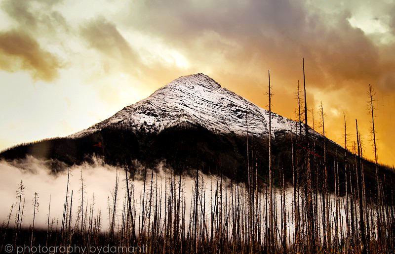
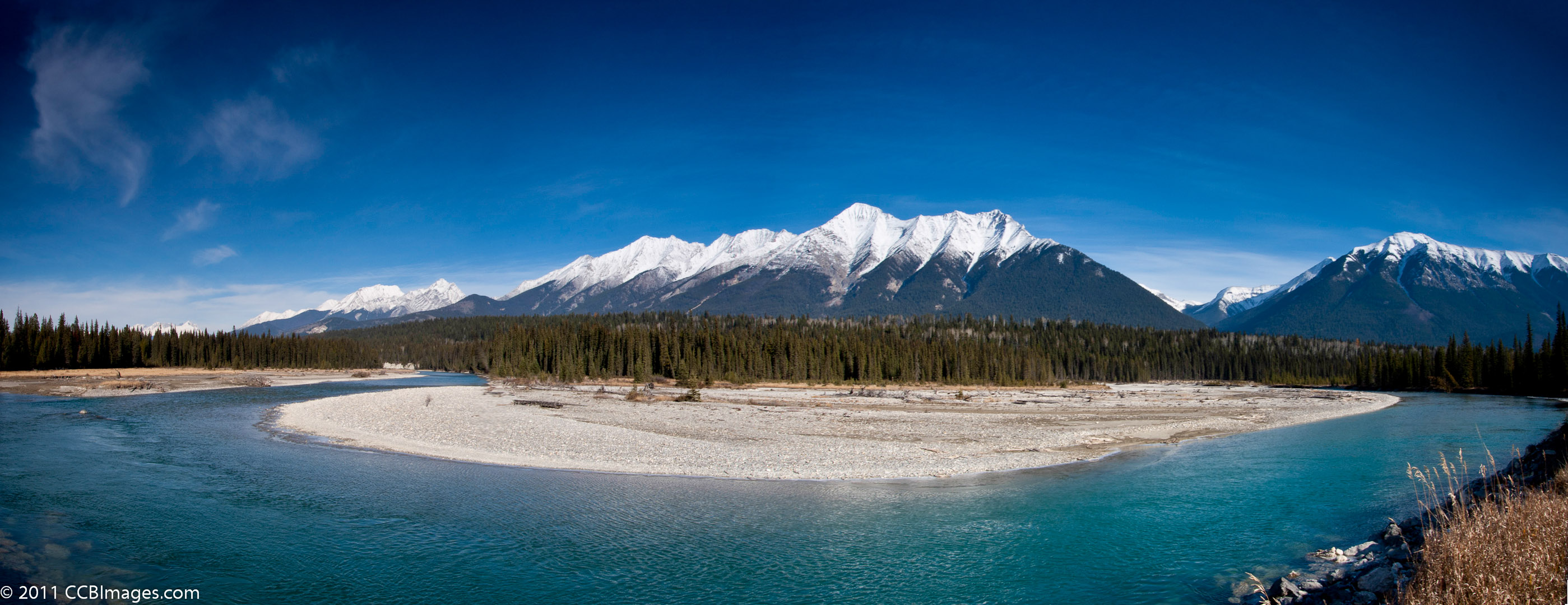
Mountains at Sunset
IMG_1844 (2)

Vermillion at the Blue Hour
IMG_1821 (2)
IMG_1830 (2)
IMG_1836 (2)
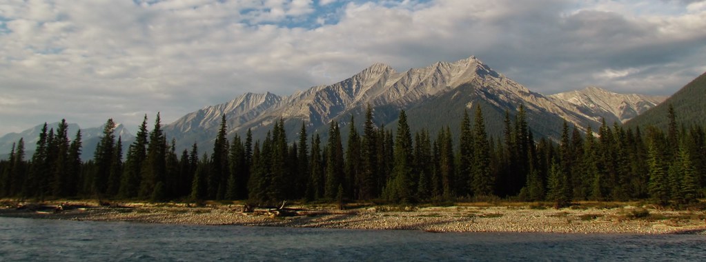
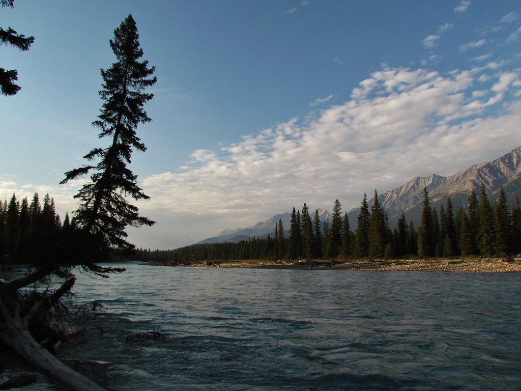
Across the River
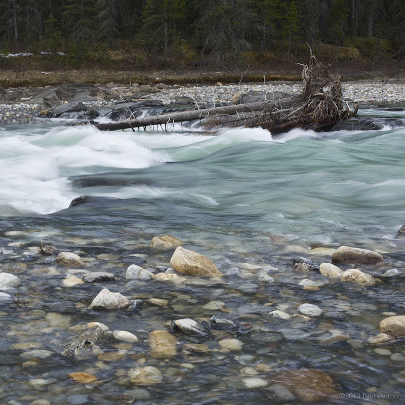
Snow melt
Mount Crook, East Kootenay G, BC V0A, Canada Map
Search another place
Near Places
Shyster Peak, East Kootenay G, BC V0A, Canada
Shyster NW2, East Kootenay G, BC V0A, Canada
Kindersley NW1, East Kootenay G, BC V0A, Canada
Mount Kindersley, East Kootenay G, BC V0A, Canada
Kindersley E2, East Kootenay G, BC V0A, Canada
Kindersley SE1, East Kootenay G, BC V0A, Canada
Kindersley S4, East Kootenay G, BC V0A, Canada
Kindersley SE4, East Kootenay G, BC V0A, Canada
Mount Berland, East Kootenay G, BC V0A, Canada
Edgewater, BC, Canada
Kindersley SE5, East Kootenay G, BC V0A, Canada
Brisco Range, East Kootenay G, BC V0A, Canada
Lookout Point, East Kootenay G, BC V0A, Canada
Radium Elk Park B&B, Saddle Wood Lane, Radium Hot Springs, BC V0A 1M0, Canada
Mount Norman, East Kootenay G, BC V0A, Canada
The Judge, East Kootenay G, BC V0A, Canada
Kootenay National Park, British Columbia V0A, Canada
Mount Sinclair, East Kootenay G, BC V0A, Canada
Brisco, BC V0A, Canada
East Kootenay G, BC, Canada
Recent Searches
- Sunrise Sunset Times of Red Dog Mine, AK, USA
- Sunrise Sunset Times of Am Bahnhof, Am bhf, Borken, Germany
- Sunrise Sunset Times of 4th St E, Sonoma, CA, USA
- Sunrise Sunset Times of Oakland Ave, Williamsport, PA, USA
- Sunrise Sunset Times of Via Roma, Pieranica CR, Italy
- Sunrise Sunset Times of Clock Tower of Dubrovnik, Grad, Dubrovnik, Croatia
- Sunrise Sunset Times of Trelew, Chubut Province, Argentina
- Sunrise Sunset Times of Hartfords Bluff Cir, Mt Pleasant, SC, USA
- Sunrise Sunset Times of Kita Ward, Kumamoto, Japan
- Sunrise Sunset Times of Pingtan Island, Pingtan County, Fuzhou, China