Sunrise Sunset Times of Lakeville Fire Department, Deal Rd, Lakeville, NB E7K 1K5, Canada
Location: Canada > New Brunswick > Carleton County > Wilmot >
Timezone:
America/Halifax
Current Time:
2025-07-01 22:24:37
Longitude:
-67.6832484
Latitude:
46.3370323
Sunrise Today:
05:43:32 AM
Sunset Today:
09:26:20 PM
Daylength Today:
15h 42m 48s
Sunrise Tomorrow:
05:44:11 AM
Sunset Tomorrow:
09:26:03 PM
Daylength Tomorrow:
15h 41m 52s
Year Show All Dates
| Date | Sunrise | Sunset | Daylength |
|---|---|---|---|
| 01/01/2025 | 08:13:48 AM | 04:55:49 PM | 8h 42m 1s |
| 01/02/2025 | 08:13:45 AM | 04:56:48 PM | 8h 43m 3s |
| 01/03/2025 | 08:13:38 AM | 04:57:49 PM | 8h 44m 11s |
| 01/04/2025 | 08:13:29 AM | 04:58:51 PM | 8h 45m 22s |
| 01/05/2025 | 08:13:18 AM | 04:59:56 PM | 8h 46m 38s |
| 01/06/2025 | 08:13:03 AM | 05:01:02 PM | 8h 47m 59s |
| 01/07/2025 | 08:12:46 AM | 05:02:10 PM | 8h 49m 24s |
| 01/08/2025 | 08:12:26 AM | 05:03:20 PM | 8h 50m 54s |
| 01/09/2025 | 08:12:03 AM | 05:04:32 PM | 8h 52m 29s |
| 01/10/2025 | 08:11:38 AM | 05:05:44 PM | 8h 54m 6s |
| 01/11/2025 | 08:11:10 AM | 05:06:59 PM | 8h 55m 49s |
| 01/12/2025 | 08:10:40 AM | 05:08:14 PM | 8h 57m 34s |
| 01/13/2025 | 08:10:07 AM | 05:09:31 PM | 8h 59m 24s |
| 01/14/2025 | 08:09:31 AM | 05:10:49 PM | 9h 1m 18s |
| 01/15/2025 | 08:08:53 AM | 05:12:08 PM | 9h 3m 15s |
| 01/16/2025 | 08:08:12 AM | 05:13:29 PM | 9h 5m 17s |
| 01/17/2025 | 08:07:29 AM | 05:14:50 PM | 9h 7m 21s |
| 01/18/2025 | 08:06:44 AM | 05:16:13 PM | 9h 9m 29s |
| 01/19/2025 | 08:05:56 AM | 05:17:36 PM | 9h 11m 40s |
| 01/20/2025 | 08:05:06 AM | 05:19:00 PM | 9h 13m 54s |
| 01/21/2025 | 08:04:13 AM | 05:20:25 PM | 9h 16m 12s |
| 01/22/2025 | 08:03:19 AM | 05:21:51 PM | 9h 18m 32s |
| 01/23/2025 | 08:02:22 AM | 05:23:17 PM | 9h 20m 55s |
| 01/24/2025 | 08:01:23 AM | 05:24:44 PM | 9h 23m 21s |
| 01/25/2025 | 08:00:21 AM | 05:26:11 PM | 9h 25m 50s |
| 01/26/2025 | 07:59:18 AM | 05:27:39 PM | 9h 28m 21s |
| 01/27/2025 | 07:58:13 AM | 05:29:07 PM | 9h 30m 54s |
| 01/28/2025 | 07:57:05 AM | 05:30:36 PM | 9h 33m 31s |
| 01/29/2025 | 07:55:56 AM | 05:32:05 PM | 9h 36m 9s |
| 01/30/2025 | 07:54:44 AM | 05:33:35 PM | 9h 38m 51s |
| 01/31/2025 | 07:53:31 AM | 05:35:04 PM | 9h 41m 33s |
| 02/01/2025 | 07:52:16 AM | 05:36:34 PM | 9h 44m 18s |
| 02/02/2025 | 07:50:59 AM | 05:38:04 PM | 9h 47m 5s |
| 02/03/2025 | 07:49:40 AM | 05:39:34 PM | 9h 49m 54s |
| 02/04/2025 | 07:48:20 AM | 05:41:05 PM | 9h 52m 45s |
| 02/05/2025 | 07:46:58 AM | 05:42:35 PM | 9h 55m 37s |
| 02/06/2025 | 07:45:34 AM | 05:44:05 PM | 9h 58m 31s |
| 02/07/2025 | 07:44:09 AM | 05:45:36 PM | 10h 1m 27s |
| 02/08/2025 | 07:42:42 AM | 05:47:06 PM | 10h 4m 24s |
| 02/09/2025 | 07:41:14 AM | 05:48:36 PM | 10h 7m 22s |
| 02/10/2025 | 07:39:44 AM | 05:50:06 PM | 10h 10m 22s |
| 02/11/2025 | 07:38:13 AM | 05:51:36 PM | 10h 13m 23s |
| 02/12/2025 | 07:36:40 AM | 05:53:06 PM | 10h 16m 26s |
| 02/13/2025 | 07:35:07 AM | 05:54:36 PM | 10h 19m 29s |
| 02/14/2025 | 07:33:31 AM | 05:56:06 PM | 10h 22m 35s |
| 02/15/2025 | 07:31:55 AM | 05:57:35 PM | 10h 25m 40s |
| 02/16/2025 | 07:30:17 AM | 05:59:05 PM | 10h 28m 48s |
| 02/17/2025 | 07:28:39 AM | 06:00:34 PM | 10h 31m 55s |
| 02/18/2025 | 07:26:59 AM | 06:02:02 PM | 10h 35m 3s |
| 02/19/2025 | 07:25:18 AM | 06:03:31 PM | 10h 38m 13s |
| 02/20/2025 | 07:23:36 AM | 06:04:59 PM | 10h 41m 23s |
| 02/21/2025 | 07:21:53 AM | 06:06:27 PM | 10h 44m 34s |
| 02/22/2025 | 07:20:08 AM | 06:07:55 PM | 10h 47m 47s |
| 02/23/2025 | 07:18:23 AM | 06:09:22 PM | 10h 50m 59s |
| 02/24/2025 | 07:16:38 AM | 06:10:50 PM | 10h 54m 12s |
| 02/25/2025 | 07:14:51 AM | 06:12:17 PM | 10h 57m 26s |
| 02/26/2025 | 07:13:03 AM | 06:13:43 PM | 11h 0m 40s |
| 02/27/2025 | 07:11:15 AM | 06:15:10 PM | 11h 3m 55s |
| 02/28/2025 | 07:09:26 AM | 06:16:36 PM | 11h 7m 10s |
| 03/01/2025 | 07:07:36 AM | 06:18:02 PM | 11h 10m 26s |
| 03/02/2025 | 07:05:45 AM | 06:19:27 PM | 11h 13m 42s |
| 03/03/2025 | 07:03:54 AM | 06:20:53 PM | 11h 16m 59s |
| 03/04/2025 | 07:02:02 AM | 06:22:18 PM | 11h 20m 16s |
| 03/05/2025 | 07:00:10 AM | 06:23:42 PM | 11h 23m 32s |
| 03/06/2025 | 06:58:17 AM | 06:25:07 PM | 11h 26m 50s |
| 03/07/2025 | 06:56:24 AM | 06:26:31 PM | 11h 30m 7s |
| 03/08/2025 | 06:54:30 AM | 06:27:55 PM | 11h 33m 25s |
| 03/09/2025 | 07:52:40 AM | 07:29:15 PM | 11h 36m 35s |
| 03/10/2025 | 07:50:45 AM | 07:30:39 PM | 11h 39m 54s |
| 03/11/2025 | 07:48:50 AM | 07:32:02 PM | 11h 43m 12s |
| 03/12/2025 | 07:46:55 AM | 07:33:25 PM | 11h 46m 30s |
| 03/13/2025 | 07:44:59 AM | 07:34:48 PM | 11h 49m 49s |
| 03/14/2025 | 07:43:03 AM | 07:36:10 PM | 11h 53m 7s |
| 03/15/2025 | 07:41:06 AM | 07:37:33 PM | 11h 56m 27s |
| 03/16/2025 | 07:39:10 AM | 07:38:55 PM | 11h 59m 45s |
| 03/17/2025 | 07:37:13 AM | 07:40:17 PM | 12h 3m 4s |
| 03/18/2025 | 07:35:16 AM | 07:41:39 PM | 12h 6m 23s |
| 03/19/2025 | 07:33:19 AM | 07:43:01 PM | 12h 9m 42s |
| 03/20/2025 | 07:31:22 AM | 07:44:22 PM | 12h 13m 0s |
| 03/21/2025 | 07:29:25 AM | 07:45:44 PM | 12h 16m 19s |
| 03/22/2025 | 07:27:27 AM | 07:47:05 PM | 12h 19m 38s |
| 03/23/2025 | 07:25:30 AM | 07:48:26 PM | 12h 22m 56s |
| 03/24/2025 | 07:23:33 AM | 07:49:47 PM | 12h 26m 14s |
| 03/25/2025 | 07:21:36 AM | 07:51:08 PM | 12h 29m 32s |
| 03/26/2025 | 07:19:39 AM | 07:52:29 PM | 12h 32m 50s |
| 03/27/2025 | 07:17:42 AM | 07:53:50 PM | 12h 36m 8s |
| 03/28/2025 | 07:15:45 AM | 07:55:11 PM | 12h 39m 26s |
| 03/29/2025 | 07:13:48 AM | 07:56:31 PM | 12h 42m 43s |
| 03/30/2025 | 07:11:52 AM | 07:57:52 PM | 12h 46m 0s |
| 03/31/2025 | 07:09:56 AM | 07:59:12 PM | 12h 49m 16s |
| 04/01/2025 | 07:08:00 AM | 08:00:33 PM | 12h 52m 33s |
| 04/02/2025 | 07:06:04 AM | 08:01:53 PM | 12h 55m 49s |
| 04/03/2025 | 07:04:09 AM | 08:03:14 PM | 12h 59m 5s |
| 04/04/2025 | 07:02:14 AM | 08:04:34 PM | 13h 2m 20s |
| 04/05/2025 | 07:00:19 AM | 08:05:55 PM | 13h 5m 36s |
| 04/06/2025 | 06:58:25 AM | 08:07:15 PM | 13h 8m 50s |
| 04/07/2025 | 06:56:32 AM | 08:08:35 PM | 13h 12m 3s |
| 04/08/2025 | 06:54:39 AM | 08:09:56 PM | 13h 15m 17s |
| 04/09/2025 | 06:52:46 AM | 08:11:16 PM | 13h 18m 30s |
| 04/10/2025 | 06:50:54 AM | 08:12:36 PM | 13h 21m 42s |
| 04/11/2025 | 06:49:02 AM | 08:13:57 PM | 13h 24m 55s |
| 04/12/2025 | 06:47:12 AM | 08:15:17 PM | 13h 28m 5s |
| 04/13/2025 | 06:45:22 AM | 08:16:37 PM | 13h 31m 15s |
| 04/14/2025 | 06:43:32 AM | 08:17:57 PM | 13h 34m 25s |
| 04/15/2025 | 06:41:43 AM | 08:19:18 PM | 13h 37m 35s |
| 04/16/2025 | 06:39:55 AM | 08:20:38 PM | 13h 40m 43s |
| 04/17/2025 | 06:38:08 AM | 08:21:58 PM | 13h 43m 50s |
| 04/18/2025 | 06:36:22 AM | 08:23:18 PM | 13h 46m 56s |
| 04/19/2025 | 06:34:37 AM | 08:24:39 PM | 13h 50m 2s |
| 04/20/2025 | 06:32:52 AM | 08:25:59 PM | 13h 53m 7s |
| 04/21/2025 | 06:31:08 AM | 08:27:19 PM | 13h 56m 11s |
| 04/22/2025 | 06:29:26 AM | 08:28:39 PM | 13h 59m 13s |
| 04/23/2025 | 06:27:44 AM | 08:29:59 PM | 14h 2m 15s |
| 04/24/2025 | 06:26:04 AM | 08:31:18 PM | 14h 5m 14s |
| 04/25/2025 | 06:24:24 AM | 08:32:38 PM | 14h 8m 14s |
| 04/26/2025 | 06:22:46 AM | 08:33:58 PM | 14h 11m 12s |
| 04/27/2025 | 06:21:09 AM | 08:35:17 PM | 14h 14m 8s |
| 04/28/2025 | 06:19:33 AM | 08:36:36 PM | 14h 17m 3s |
| 04/29/2025 | 06:17:58 AM | 08:37:56 PM | 14h 19m 58s |
| 04/30/2025 | 06:16:24 AM | 08:39:14 PM | 14h 22m 50s |
| 05/01/2025 | 06:14:52 AM | 08:40:33 PM | 14h 25m 41s |
| 05/02/2025 | 06:13:21 AM | 08:41:51 PM | 14h 28m 30s |
| 05/03/2025 | 06:11:52 AM | 08:43:10 PM | 14h 31m 18s |
| 05/04/2025 | 06:10:24 AM | 08:44:27 PM | 14h 34m 3s |
| 05/05/2025 | 06:08:57 AM | 08:45:45 PM | 14h 36m 48s |
| 05/06/2025 | 06:07:32 AM | 08:47:02 PM | 14h 39m 30s |
| 05/07/2025 | 06:06:08 AM | 08:48:19 PM | 14h 42m 11s |
| 05/08/2025 | 06:04:46 AM | 08:49:35 PM | 14h 44m 49s |
| 05/09/2025 | 06:03:26 AM | 08:50:51 PM | 14h 47m 25s |
| 05/10/2025 | 06:02:07 AM | 08:52:06 PM | 14h 49m 59s |
| 05/11/2025 | 06:00:50 AM | 08:53:21 PM | 14h 52m 31s |
| 05/12/2025 | 05:59:35 AM | 08:54:35 PM | 14h 55m 0s |
| 05/13/2025 | 05:58:21 AM | 08:55:49 PM | 14h 57m 28s |
| 05/14/2025 | 05:57:10 AM | 08:57:01 PM | 14h 59m 51s |
| 05/15/2025 | 05:56:00 AM | 08:58:14 PM | 15h 2m 14s |
| 05/16/2025 | 05:54:52 AM | 08:59:25 PM | 15h 4m 33s |
| 05/17/2025 | 05:53:45 AM | 09:00:36 PM | 15h 6m 51s |
| 05/18/2025 | 05:52:41 AM | 09:01:45 PM | 15h 9m 4s |
| 05/19/2025 | 05:51:39 AM | 09:02:54 PM | 15h 11m 15s |
| 05/20/2025 | 05:50:39 AM | 09:04:02 PM | 15h 13m 23s |
| 05/21/2025 | 05:49:41 AM | 09:05:09 PM | 15h 15m 28s |
| 05/22/2025 | 05:48:45 AM | 09:06:15 PM | 15h 17m 30s |
| 05/23/2025 | 05:47:51 AM | 09:07:20 PM | 15h 19m 29s |
| 05/24/2025 | 05:46:59 AM | 09:08:23 PM | 15h 21m 24s |
| 05/25/2025 | 05:46:10 AM | 09:09:26 PM | 15h 23m 16s |
| 05/26/2025 | 05:45:22 AM | 09:10:27 PM | 15h 25m 5s |
| 05/27/2025 | 05:44:37 AM | 09:11:27 PM | 15h 26m 50s |
| 05/28/2025 | 05:43:54 AM | 09:12:25 PM | 15h 28m 31s |
| 05/29/2025 | 05:43:14 AM | 09:13:23 PM | 15h 30m 9s |
| 05/30/2025 | 05:42:35 AM | 09:14:18 PM | 15h 31m 43s |
| 05/31/2025 | 05:41:59 AM | 09:15:12 PM | 15h 33m 13s |
| 06/01/2025 | 05:41:26 AM | 09:16:05 PM | 15h 34m 39s |
| 06/02/2025 | 05:40:55 AM | 09:16:56 PM | 15h 36m 1s |
| 06/03/2025 | 05:40:26 AM | 09:17:45 PM | 15h 37m 19s |
| 06/04/2025 | 05:39:59 AM | 09:18:32 PM | 15h 38m 33s |
| 06/05/2025 | 05:39:35 AM | 09:19:18 PM | 15h 39m 43s |
| 06/06/2025 | 05:39:14 AM | 09:20:02 PM | 15h 40m 48s |
| 06/07/2025 | 05:38:55 AM | 09:20:44 PM | 15h 41m 49s |
| 06/08/2025 | 05:38:38 AM | 09:21:24 PM | 15h 42m 46s |
| 06/09/2025 | 05:38:24 AM | 09:22:02 PM | 15h 43m 38s |
| 06/10/2025 | 05:38:12 AM | 09:22:38 PM | 15h 44m 26s |
| 06/11/2025 | 05:38:03 AM | 09:23:12 PM | 15h 45m 9s |
| 06/12/2025 | 05:37:56 AM | 09:23:44 PM | 15h 45m 48s |
| 06/13/2025 | 05:37:52 AM | 09:24:14 PM | 15h 46m 22s |
| 06/14/2025 | 05:37:50 AM | 09:24:42 PM | 15h 46m 52s |
| 06/15/2025 | 05:37:50 AM | 09:25:07 PM | 15h 47m 17s |
| 06/16/2025 | 05:37:53 AM | 09:25:30 PM | 15h 47m 37s |
| 06/17/2025 | 05:37:58 AM | 09:25:51 PM | 15h 47m 53s |
| 06/18/2025 | 05:38:06 AM | 09:26:09 PM | 15h 48m 3s |
| 06/19/2025 | 05:38:16 AM | 09:26:25 PM | 15h 48m 9s |
| 06/20/2025 | 05:38:28 AM | 09:26:39 PM | 15h 48m 11s |
| 06/21/2025 | 05:38:43 AM | 09:26:50 PM | 15h 48m 7s |
| 06/22/2025 | 05:39:00 AM | 09:26:59 PM | 15h 47m 59s |
| 06/23/2025 | 05:39:19 AM | 09:27:06 PM | 15h 47m 47s |
| 06/24/2025 | 05:39:41 AM | 09:27:10 PM | 15h 47m 29s |
| 06/25/2025 | 05:40:05 AM | 09:27:11 PM | 15h 47m 6s |
| 06/26/2025 | 05:40:31 AM | 09:27:11 PM | 15h 46m 40s |
| 06/27/2025 | 05:40:59 AM | 09:27:07 PM | 15h 46m 8s |
| 06/28/2025 | 05:41:29 AM | 09:27:01 PM | 15h 45m 32s |
| 06/29/2025 | 05:42:01 AM | 09:26:53 PM | 15h 44m 52s |
| 06/30/2025 | 05:42:35 AM | 09:26:42 PM | 15h 44m 7s |
| 07/01/2025 | 05:43:11 AM | 09:26:29 PM | 15h 43m 18s |
| 07/02/2025 | 05:43:49 AM | 09:26:13 PM | 15h 42m 24s |
| 07/03/2025 | 05:44:29 AM | 09:25:54 PM | 15h 41m 25s |
| 07/04/2025 | 05:45:11 AM | 09:25:34 PM | 15h 40m 23s |
| 07/05/2025 | 05:45:55 AM | 09:25:10 PM | 15h 39m 15s |
| 07/06/2025 | 05:46:40 AM | 09:24:44 PM | 15h 38m 4s |
| 07/07/2025 | 05:47:27 AM | 09:24:16 PM | 15h 36m 49s |
| 07/08/2025 | 05:48:15 AM | 09:23:46 PM | 15h 35m 31s |
| 07/09/2025 | 05:49:06 AM | 09:23:12 PM | 15h 34m 6s |
| 07/10/2025 | 05:49:57 AM | 09:22:37 PM | 15h 32m 40s |
| 07/11/2025 | 05:50:50 AM | 09:21:59 PM | 15h 31m 9s |
| 07/12/2025 | 05:51:45 AM | 09:21:19 PM | 15h 29m 34s |
| 07/13/2025 | 05:52:41 AM | 09:20:36 PM | 15h 27m 55s |
| 07/14/2025 | 05:53:38 AM | 09:19:52 PM | 15h 26m 14s |
| 07/15/2025 | 05:54:37 AM | 09:19:04 PM | 15h 24m 27s |
| 07/16/2025 | 05:55:36 AM | 09:18:15 PM | 15h 22m 39s |
| 07/17/2025 | 05:56:37 AM | 09:17:24 PM | 15h 20m 47s |
| 07/18/2025 | 05:57:39 AM | 09:16:30 PM | 15h 18m 51s |
| 07/19/2025 | 05:58:42 AM | 09:15:34 PM | 15h 16m 52s |
| 07/20/2025 | 05:59:46 AM | 09:14:36 PM | 15h 14m 50s |
| 07/21/2025 | 06:00:51 AM | 09:13:36 PM | 15h 12m 45s |
| 07/22/2025 | 06:01:57 AM | 09:12:34 PM | 15h 10m 37s |
| 07/23/2025 | 06:03:04 AM | 09:11:29 PM | 15h 8m 25s |
| 07/24/2025 | 06:04:11 AM | 09:10:23 PM | 15h 6m 12s |
| 07/25/2025 | 06:05:19 AM | 09:09:15 PM | 15h 3m 56s |
| 07/26/2025 | 06:06:28 AM | 09:08:05 PM | 15h 1m 37s |
| 07/27/2025 | 06:07:38 AM | 09:06:53 PM | 14h 59m 15s |
| 07/28/2025 | 06:08:48 AM | 09:05:40 PM | 14h 56m 52s |
| 07/29/2025 | 06:09:59 AM | 09:04:24 PM | 14h 54m 25s |
| 07/30/2025 | 06:11:10 AM | 09:03:07 PM | 14h 51m 57s |
| 07/31/2025 | 06:12:22 AM | 09:01:48 PM | 14h 49m 26s |
| 08/01/2025 | 06:13:34 AM | 09:00:27 PM | 14h 46m 53s |
| 08/02/2025 | 06:14:47 AM | 08:59:05 PM | 14h 44m 18s |
| 08/03/2025 | 06:16:00 AM | 08:57:41 PM | 14h 41m 41s |
| 08/04/2025 | 06:17:14 AM | 08:56:16 PM | 14h 39m 2s |
| 08/05/2025 | 06:18:27 AM | 08:54:49 PM | 14h 36m 22s |
| 08/06/2025 | 06:19:42 AM | 08:53:20 PM | 14h 33m 38s |
| 08/07/2025 | 06:20:56 AM | 08:51:50 PM | 14h 30m 54s |
| 08/08/2025 | 06:22:11 AM | 08:50:19 PM | 14h 28m 8s |
| 08/09/2025 | 06:23:25 AM | 08:48:46 PM | 14h 25m 21s |
| 08/10/2025 | 06:24:40 AM | 08:47:12 PM | 14h 22m 32s |
| 08/11/2025 | 06:25:56 AM | 08:45:37 PM | 14h 19m 41s |
| 08/12/2025 | 06:27:11 AM | 08:44:00 PM | 14h 16m 49s |
| 08/13/2025 | 06:28:26 AM | 08:42:22 PM | 14h 13m 56s |
| 08/14/2025 | 06:29:42 AM | 08:40:43 PM | 14h 11m 1s |
| 08/15/2025 | 06:30:58 AM | 08:39:03 PM | 14h 8m 5s |
| 08/16/2025 | 06:32:13 AM | 08:37:22 PM | 14h 5m 9s |
| 08/17/2025 | 06:33:29 AM | 08:35:40 PM | 14h 2m 11s |
| 08/18/2025 | 06:34:45 AM | 08:33:56 PM | 13h 59m 11s |
| 08/19/2025 | 06:36:01 AM | 08:32:12 PM | 13h 56m 11s |
| 08/20/2025 | 06:37:17 AM | 08:30:27 PM | 13h 53m 10s |
| 08/21/2025 | 06:38:33 AM | 08:28:40 PM | 13h 50m 7s |
| 08/22/2025 | 06:39:49 AM | 08:26:53 PM | 13h 47m 4s |
| 08/23/2025 | 06:41:05 AM | 08:25:05 PM | 13h 44m 0s |
| 08/24/2025 | 06:42:20 AM | 08:23:16 PM | 13h 40m 56s |
| 08/25/2025 | 06:43:36 AM | 08:21:27 PM | 13h 37m 51s |
| 08/26/2025 | 06:44:52 AM | 08:19:36 PM | 13h 34m 44s |
| 08/27/2025 | 06:46:08 AM | 08:17:45 PM | 13h 31m 37s |
| 08/28/2025 | 06:47:24 AM | 08:15:53 PM | 13h 28m 29s |
| 08/29/2025 | 06:48:40 AM | 08:14:01 PM | 13h 25m 21s |
| 08/30/2025 | 06:49:56 AM | 08:12:08 PM | 13h 22m 12s |
| 08/31/2025 | 06:51:11 AM | 08:10:14 PM | 13h 19m 3s |
| 09/01/2025 | 06:52:27 AM | 08:08:20 PM | 13h 15m 53s |
| 09/02/2025 | 06:53:43 AM | 08:06:25 PM | 13h 12m 42s |
| 09/03/2025 | 06:54:58 AM | 08:04:30 PM | 13h 9m 32s |
| 09/04/2025 | 06:56:14 AM | 08:02:34 PM | 13h 6m 20s |
| 09/05/2025 | 06:57:30 AM | 08:00:38 PM | 13h 3m 8s |
| 09/06/2025 | 06:58:46 AM | 07:58:41 PM | 12h 59m 55s |
| 09/07/2025 | 07:00:01 AM | 07:56:44 PM | 12h 56m 43s |
| 09/08/2025 | 07:01:17 AM | 07:54:47 PM | 12h 53m 30s |
| 09/09/2025 | 07:02:33 AM | 07:52:49 PM | 12h 50m 16s |
| 09/10/2025 | 07:03:48 AM | 07:50:51 PM | 12h 47m 3s |
| 09/11/2025 | 07:05:04 AM | 07:48:53 PM | 12h 43m 49s |
| 09/12/2025 | 07:06:20 AM | 07:46:55 PM | 12h 40m 35s |
| 09/13/2025 | 07:07:36 AM | 07:44:56 PM | 12h 37m 20s |
| 09/14/2025 | 07:08:52 AM | 07:42:57 PM | 12h 34m 5s |
| 09/15/2025 | 07:10:08 AM | 07:40:58 PM | 12h 30m 50s |
| 09/16/2025 | 07:11:24 AM | 07:38:59 PM | 12h 27m 35s |
| 09/17/2025 | 07:12:40 AM | 07:37:00 PM | 12h 24m 20s |
| 09/18/2025 | 07:13:56 AM | 07:35:01 PM | 12h 21m 5s |
| 09/19/2025 | 07:15:13 AM | 07:33:02 PM | 12h 17m 49s |
| 09/20/2025 | 07:16:29 AM | 07:31:03 PM | 12h 14m 34s |
| 09/21/2025 | 07:17:46 AM | 07:29:04 PM | 12h 11m 18s |
| 09/22/2025 | 07:19:03 AM | 07:27:05 PM | 12h 8m 2s |
| 09/23/2025 | 07:20:19 AM | 07:25:06 PM | 12h 4m 47s |
| 09/24/2025 | 07:21:37 AM | 07:23:08 PM | 12h 1m 31s |
| 09/25/2025 | 07:22:54 AM | 07:21:09 PM | 11h 58m 15s |
| 09/26/2025 | 07:24:11 AM | 07:19:11 PM | 11h 55m 0s |
| 09/27/2025 | 07:25:29 AM | 07:17:13 PM | 11h 51m 44s |
| 09/28/2025 | 07:26:47 AM | 07:15:15 PM | 11h 48m 28s |
| 09/29/2025 | 07:28:05 AM | 07:13:17 PM | 11h 45m 12s |
| 09/30/2025 | 07:29:23 AM | 07:11:20 PM | 11h 41m 57s |
| 10/01/2025 | 07:30:42 AM | 07:09:23 PM | 11h 38m 41s |
| 10/02/2025 | 07:32:00 AM | 07:07:27 PM | 11h 35m 27s |
| 10/03/2025 | 07:33:19 AM | 07:05:31 PM | 11h 32m 12s |
| 10/04/2025 | 07:34:39 AM | 07:03:35 PM | 11h 28m 56s |
| 10/05/2025 | 07:35:58 AM | 07:01:40 PM | 11h 25m 42s |
| 10/06/2025 | 07:37:18 AM | 06:59:45 PM | 11h 22m 27s |
| 10/07/2025 | 07:38:38 AM | 06:57:51 PM | 11h 19m 13s |
| 10/08/2025 | 07:39:58 AM | 06:55:58 PM | 11h 16m 0s |
| 10/09/2025 | 07:41:19 AM | 06:54:05 PM | 11h 12m 46s |
| 10/10/2025 | 07:42:40 AM | 06:52:13 PM | 11h 9m 33s |
| 10/11/2025 | 07:44:01 AM | 06:50:21 PM | 11h 6m 20s |
| 10/12/2025 | 07:45:23 AM | 06:48:31 PM | 11h 3m 8s |
| 10/13/2025 | 07:46:44 AM | 06:46:41 PM | 10h 59m 57s |
| 10/14/2025 | 07:48:07 AM | 06:44:51 PM | 10h 56m 44s |
| 10/15/2025 | 07:49:29 AM | 06:43:03 PM | 10h 53m 34s |
| 10/16/2025 | 07:50:52 AM | 06:41:15 PM | 10h 50m 23s |
| 10/17/2025 | 07:52:15 AM | 06:39:29 PM | 10h 47m 14s |
| 10/18/2025 | 07:53:38 AM | 06:37:43 PM | 10h 44m 5s |
| 10/19/2025 | 07:55:02 AM | 06:35:58 PM | 10h 40m 56s |
| 10/20/2025 | 07:56:26 AM | 06:34:15 PM | 10h 37m 49s |
| 10/21/2025 | 07:57:50 AM | 06:32:32 PM | 10h 34m 42s |
| 10/22/2025 | 07:59:15 AM | 06:30:50 PM | 10h 31m 35s |
| 10/23/2025 | 08:00:39 AM | 06:29:10 PM | 10h 28m 31s |
| 10/24/2025 | 08:02:04 AM | 06:27:30 PM | 10h 25m 26s |
| 10/25/2025 | 08:03:30 AM | 06:25:52 PM | 10h 22m 22s |
| 10/26/2025 | 08:04:55 AM | 06:24:15 PM | 10h 19m 20s |
| 10/27/2025 | 08:06:21 AM | 06:22:40 PM | 10h 16m 19s |
| 10/28/2025 | 08:07:47 AM | 06:21:06 PM | 10h 13m 19s |
| 10/29/2025 | 08:09:13 AM | 06:19:33 PM | 10h 10m 20s |
| 10/30/2025 | 08:10:39 AM | 06:18:01 PM | 10h 7m 22s |
| 10/31/2025 | 08:12:05 AM | 06:16:31 PM | 10h 4m 26s |
| 11/01/2025 | 08:13:32 AM | 06:15:02 PM | 10h 1m 30s |
| 11/02/2025 | 07:15:02 AM | 05:13:32 PM | 9h 58m 30s |
| 11/03/2025 | 07:16:29 AM | 05:12:06 PM | 9h 55m 37s |
| 11/04/2025 | 07:17:55 AM | 05:10:43 PM | 9h 52m 48s |
| 11/05/2025 | 07:19:22 AM | 05:09:20 PM | 9h 49m 58s |
| 11/06/2025 | 07:20:49 AM | 05:08:00 PM | 9h 47m 11s |
| 11/07/2025 | 07:22:15 AM | 05:06:41 PM | 9h 44m 26s |
| 11/08/2025 | 07:23:42 AM | 05:05:25 PM | 9h 41m 43s |
| 11/09/2025 | 07:25:08 AM | 05:04:09 PM | 9h 39m 1s |
| 11/10/2025 | 07:26:34 AM | 05:02:56 PM | 9h 36m 22s |
| 11/11/2025 | 07:28:00 AM | 05:01:45 PM | 9h 33m 45s |
| 11/12/2025 | 07:29:26 AM | 05:00:36 PM | 9h 31m 10s |
| 11/13/2025 | 07:30:51 AM | 04:59:29 PM | 9h 28m 38s |
| 11/14/2025 | 07:32:16 AM | 04:58:23 PM | 9h 26m 7s |
| 11/15/2025 | 07:33:41 AM | 04:57:20 PM | 9h 23m 39s |
| 11/16/2025 | 07:35:05 AM | 04:56:19 PM | 9h 21m 14s |
| 11/17/2025 | 07:36:28 AM | 04:55:20 PM | 9h 18m 52s |
| 11/18/2025 | 07:37:51 AM | 04:54:24 PM | 9h 16m 33s |
| 11/19/2025 | 07:39:14 AM | 04:53:30 PM | 9h 14m 16s |
| 11/20/2025 | 07:40:36 AM | 04:52:38 PM | 9h 12m 2s |
| 11/21/2025 | 07:41:56 AM | 04:51:48 PM | 9h 9m 52s |
| 11/22/2025 | 07:43:17 AM | 04:51:01 PM | 9h 7m 44s |
| 11/23/2025 | 07:44:36 AM | 04:50:16 PM | 9h 5m 40s |
| 11/24/2025 | 07:45:54 AM | 04:49:33 PM | 9h 3m 39s |
| 11/25/2025 | 07:47:12 AM | 04:48:53 PM | 9h 1m 41s |
| 11/26/2025 | 07:48:28 AM | 04:48:16 PM | 8h 59m 48s |
| 11/27/2025 | 07:49:43 AM | 04:47:41 PM | 8h 57m 58s |
| 11/28/2025 | 07:50:57 AM | 04:47:09 PM | 8h 56m 12s |
| 11/29/2025 | 07:52:10 AM | 04:46:39 PM | 8h 54m 29s |
| 11/30/2025 | 07:53:21 AM | 04:46:12 PM | 8h 52m 51s |
| 12/01/2025 | 07:54:32 AM | 04:45:48 PM | 8h 51m 16s |
| 12/02/2025 | 07:55:40 AM | 04:45:26 PM | 8h 49m 46s |
| 12/03/2025 | 07:56:47 AM | 04:45:07 PM | 8h 48m 20s |
| 12/04/2025 | 07:57:53 AM | 04:44:51 PM | 8h 46m 58s |
| 12/05/2025 | 07:58:56 AM | 04:44:38 PM | 8h 45m 42s |
| 12/06/2025 | 07:59:59 AM | 04:44:27 PM | 8h 44m 28s |
| 12/07/2025 | 08:00:59 AM | 04:44:19 PM | 8h 43m 20s |
| 12/08/2025 | 08:01:57 AM | 04:44:14 PM | 8h 42m 17s |
| 12/09/2025 | 08:02:54 AM | 04:44:12 PM | 8h 41m 18s |
| 12/10/2025 | 08:03:48 AM | 04:44:12 PM | 8h 40m 24s |
| 12/11/2025 | 08:04:41 AM | 04:44:15 PM | 8h 39m 34s |
| 12/12/2025 | 08:05:31 AM | 04:44:21 PM | 8h 38m 50s |
| 12/13/2025 | 08:06:20 AM | 04:44:30 PM | 8h 38m 10s |
| 12/14/2025 | 08:07:06 AM | 04:44:42 PM | 8h 37m 36s |
| 12/15/2025 | 08:07:49 AM | 04:44:56 PM | 8h 37m 7s |
| 12/16/2025 | 08:08:31 AM | 04:45:13 PM | 8h 36m 42s |
| 12/17/2025 | 08:09:10 AM | 04:45:33 PM | 8h 36m 23s |
| 12/18/2025 | 08:09:47 AM | 04:45:55 PM | 8h 36m 8s |
| 12/19/2025 | 08:10:21 AM | 04:46:20 PM | 8h 35m 59s |
| 12/20/2025 | 08:10:53 AM | 04:46:48 PM | 8h 35m 55s |
| 12/21/2025 | 08:11:22 AM | 04:47:19 PM | 8h 35m 57s |
| 12/22/2025 | 08:11:49 AM | 04:47:52 PM | 8h 36m 3s |
| 12/23/2025 | 08:12:13 AM | 04:48:27 PM | 8h 36m 14s |
| 12/24/2025 | 08:12:34 AM | 04:49:05 PM | 8h 36m 31s |
| 12/25/2025 | 08:12:53 AM | 04:49:46 PM | 8h 36m 53s |
| 12/26/2025 | 08:13:09 AM | 04:50:29 PM | 8h 37m 20s |
| 12/27/2025 | 08:13:22 AM | 04:51:14 PM | 8h 37m 52s |
| 12/28/2025 | 08:13:33 AM | 04:52:02 PM | 8h 38m 29s |
| 12/29/2025 | 08:13:41 AM | 04:52:52 PM | 8h 39m 11s |
| 12/30/2025 | 08:13:46 AM | 04:53:44 PM | 8h 39m 58s |
| 12/31/2025 | 08:13:49 AM | 04:54:38 PM | 8h 40m 49s |
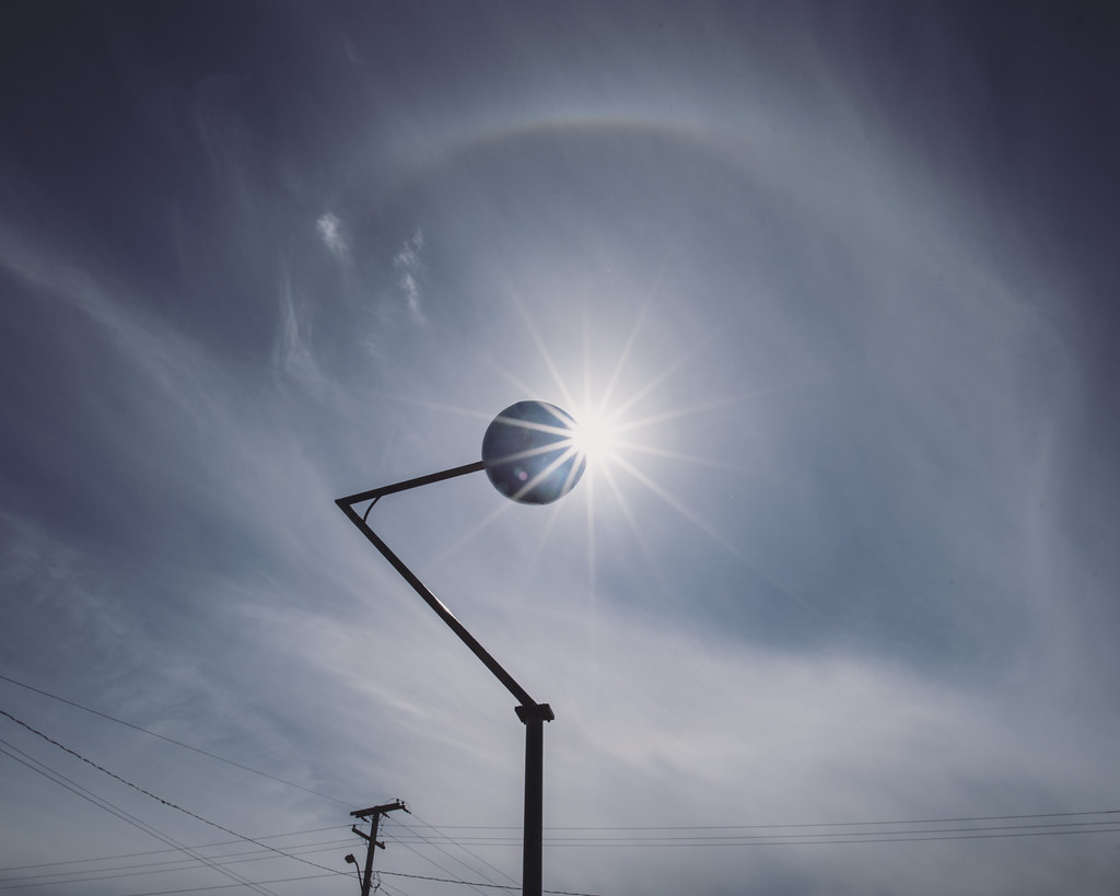
Sunrise & Sunset Photos
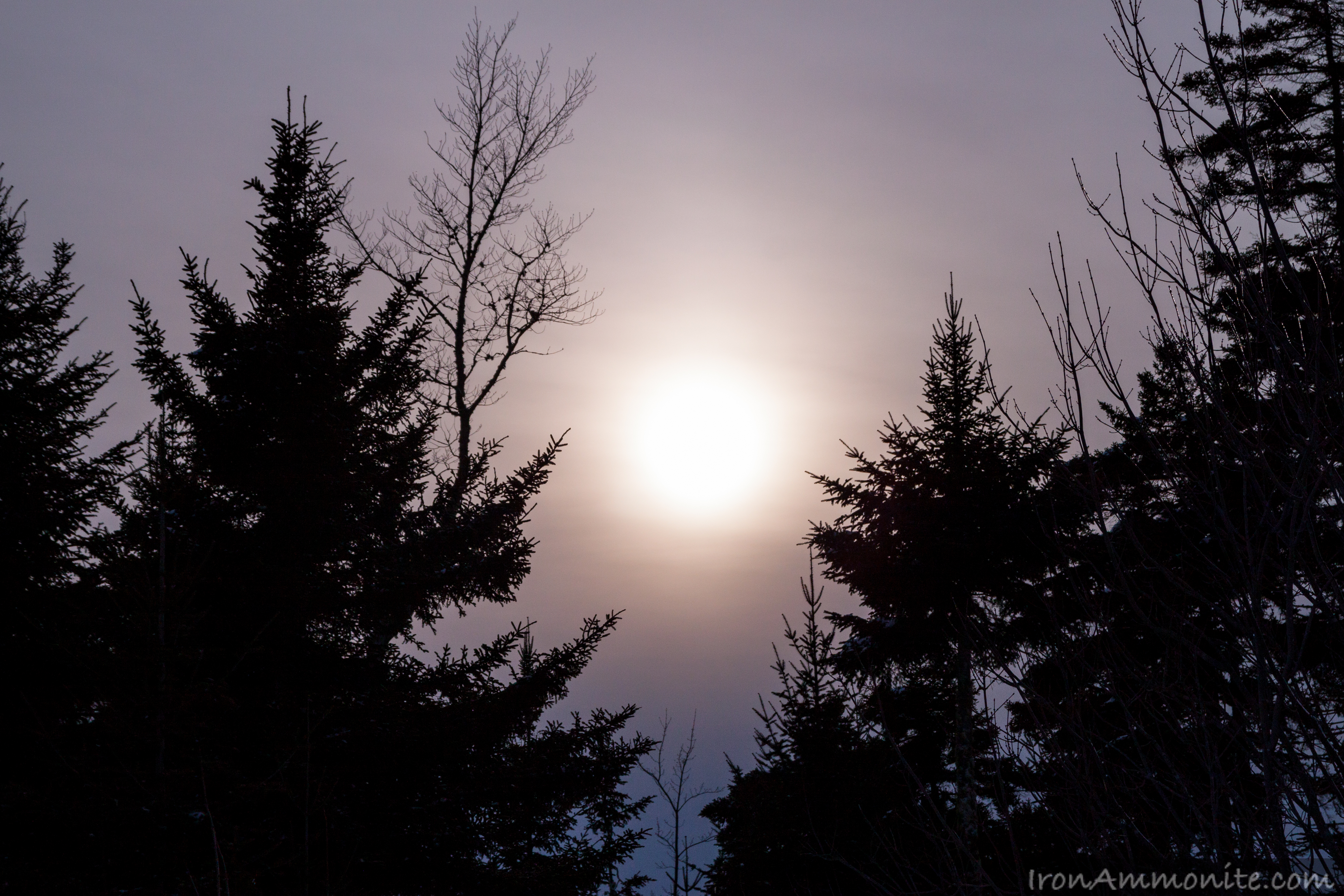
Winter Sunset.jpg
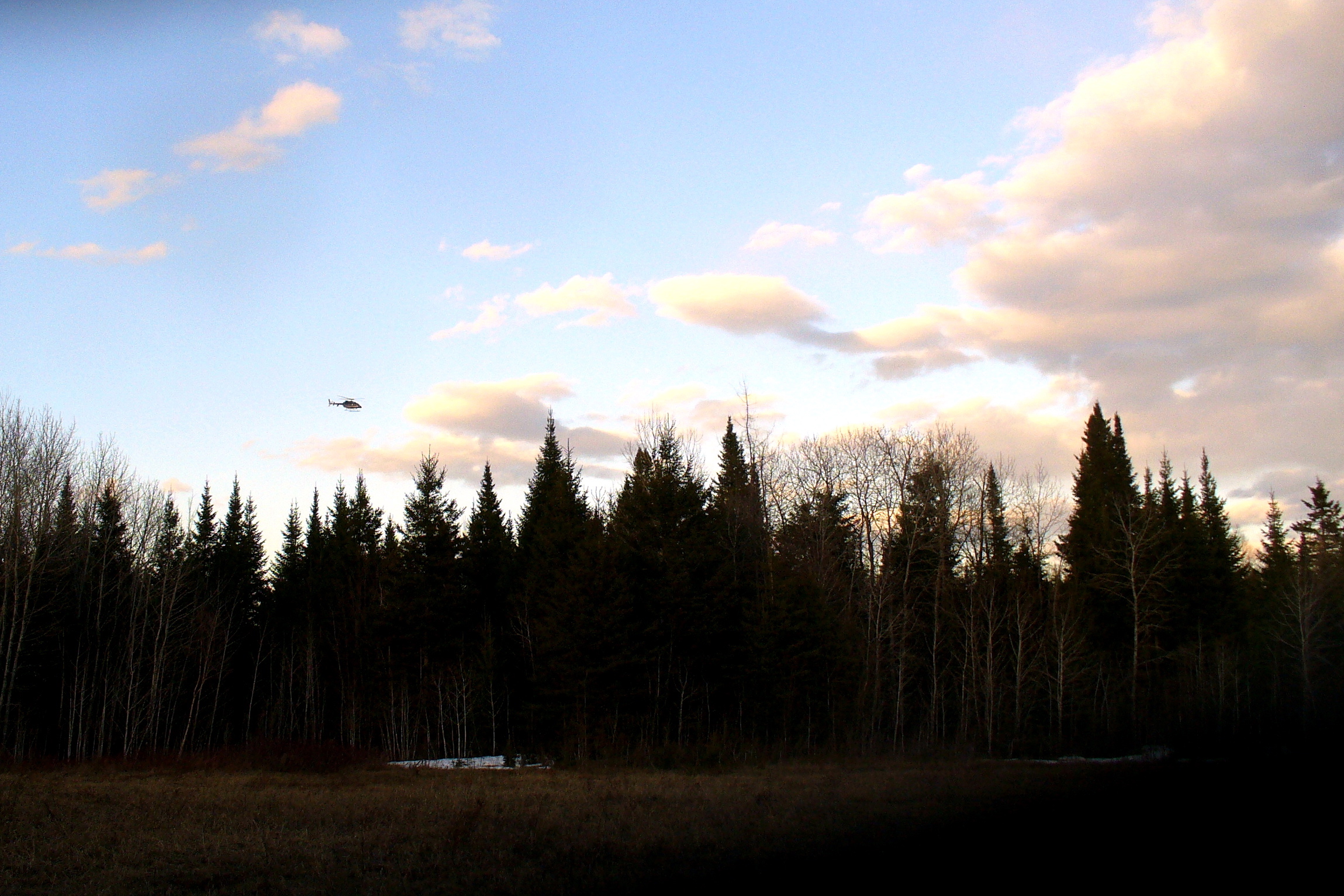
Border Patrol helicopter
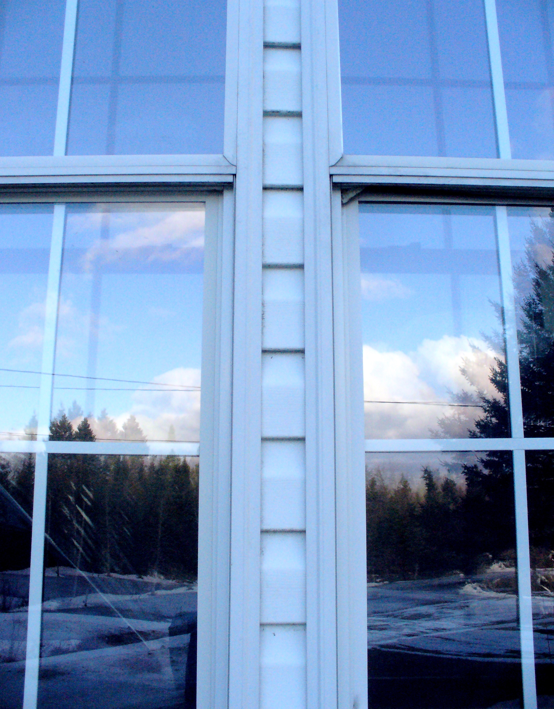
Sunset in window

Cedar garden
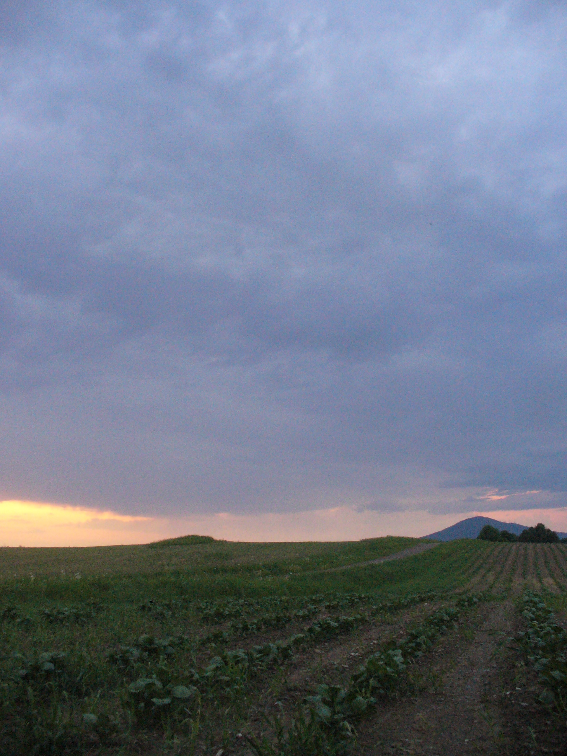
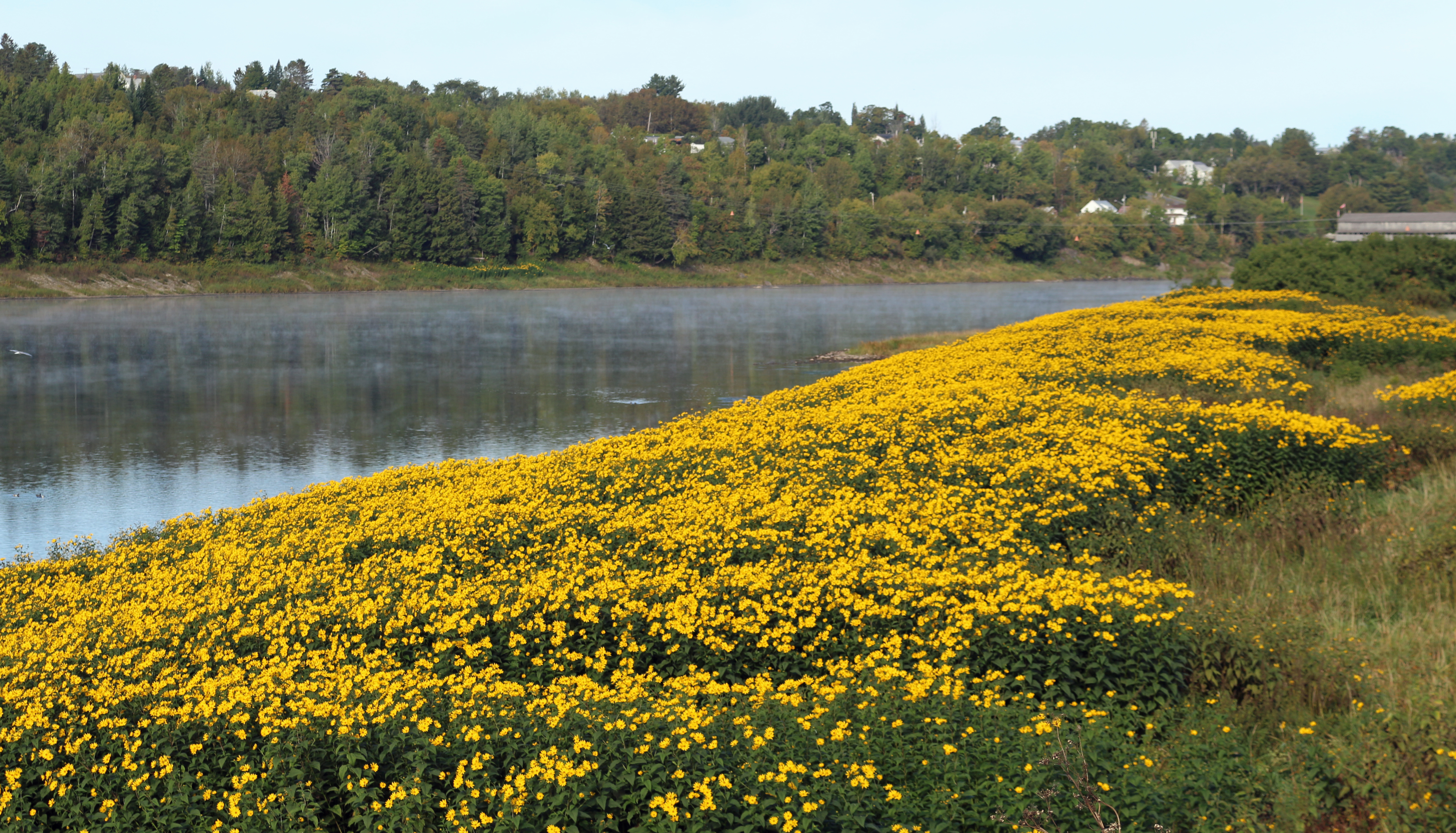
Potato field, at sunset

Sunset in the back field
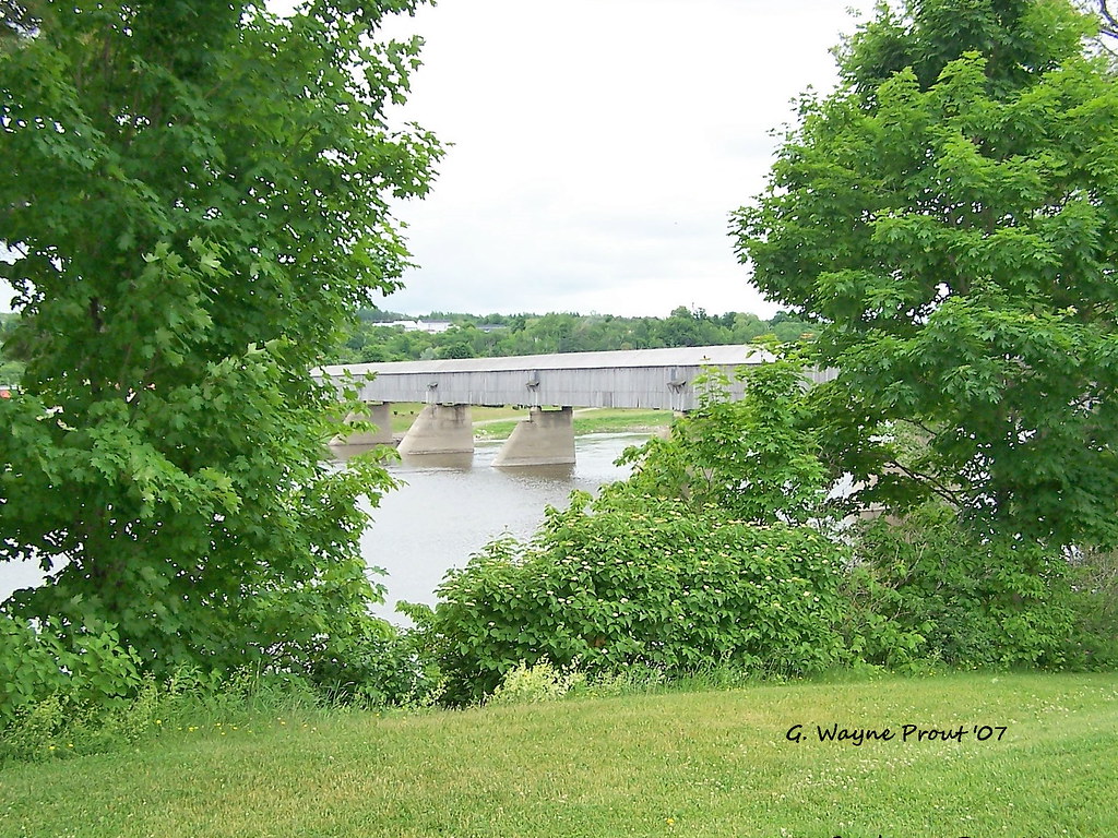
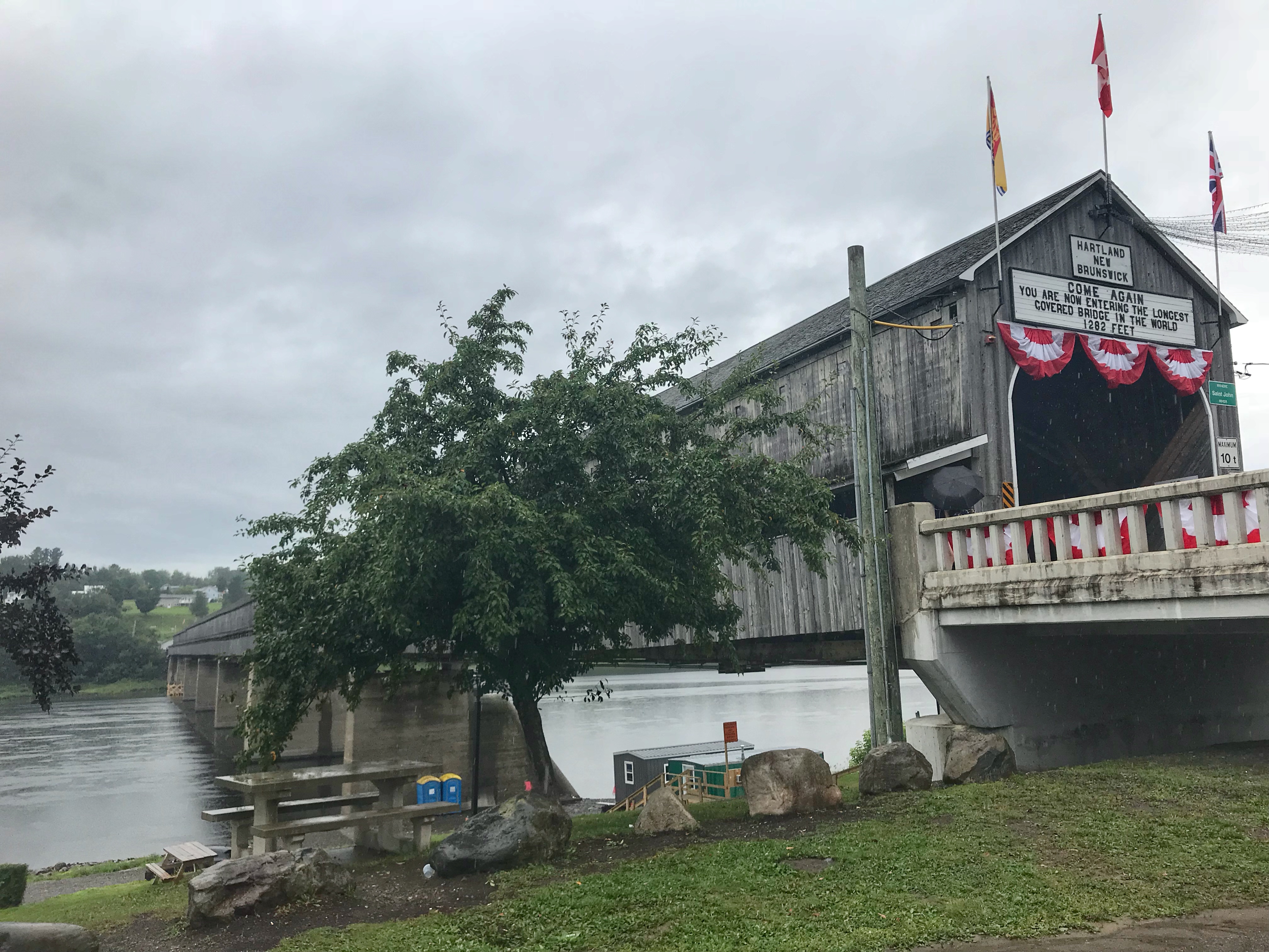
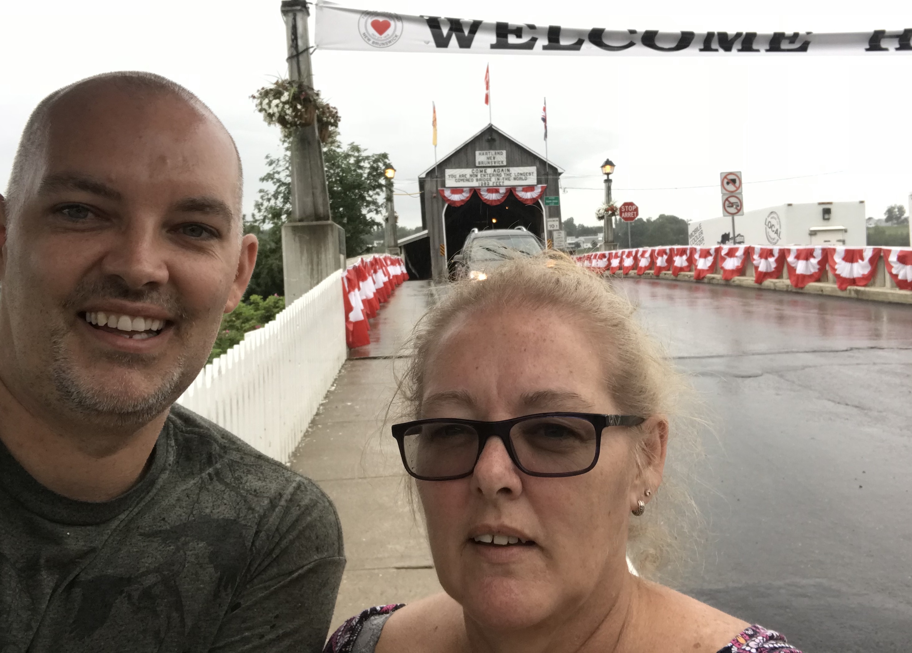
Hartland Covered Bridge
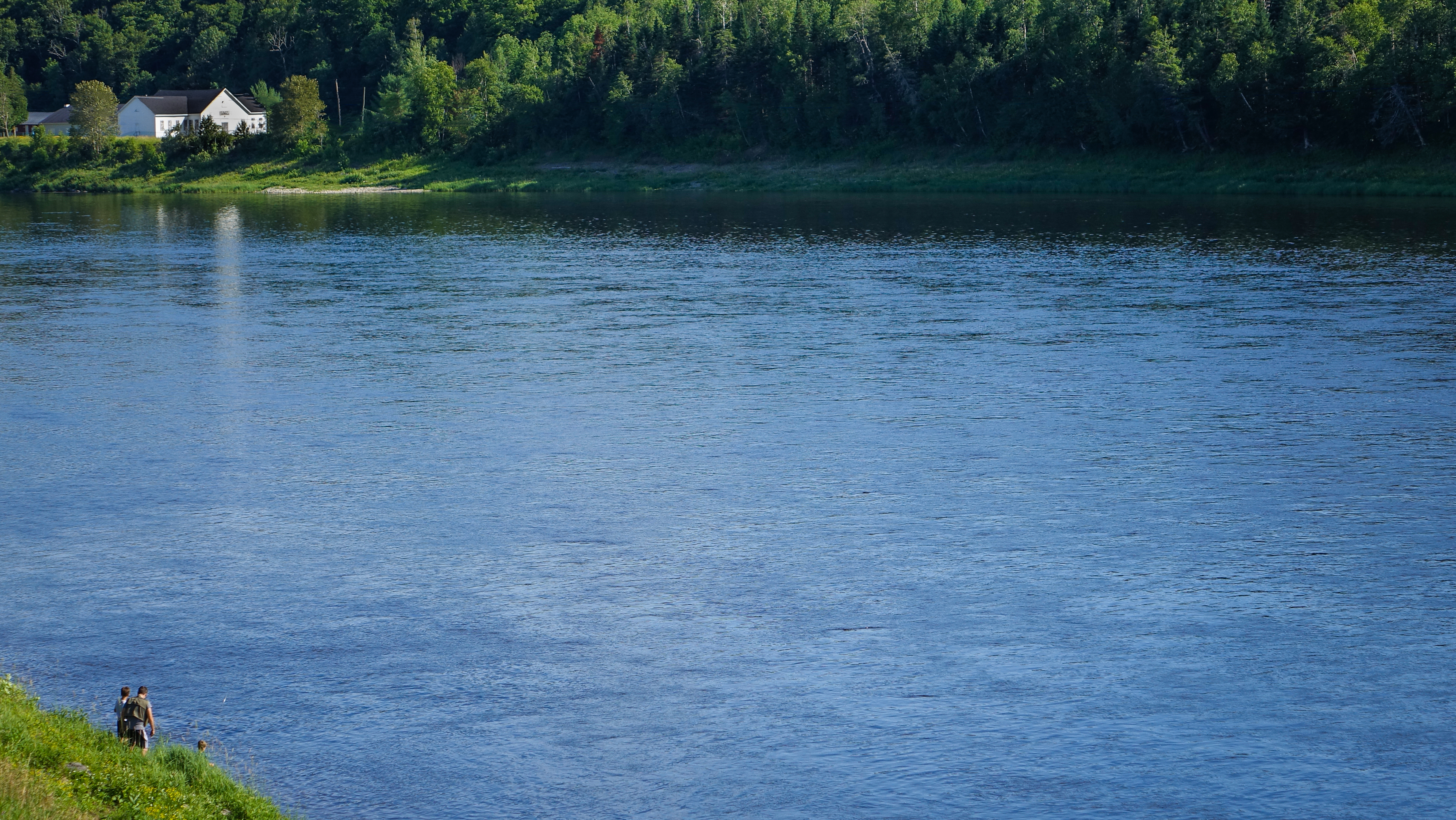
View from Hartland's covered bridge
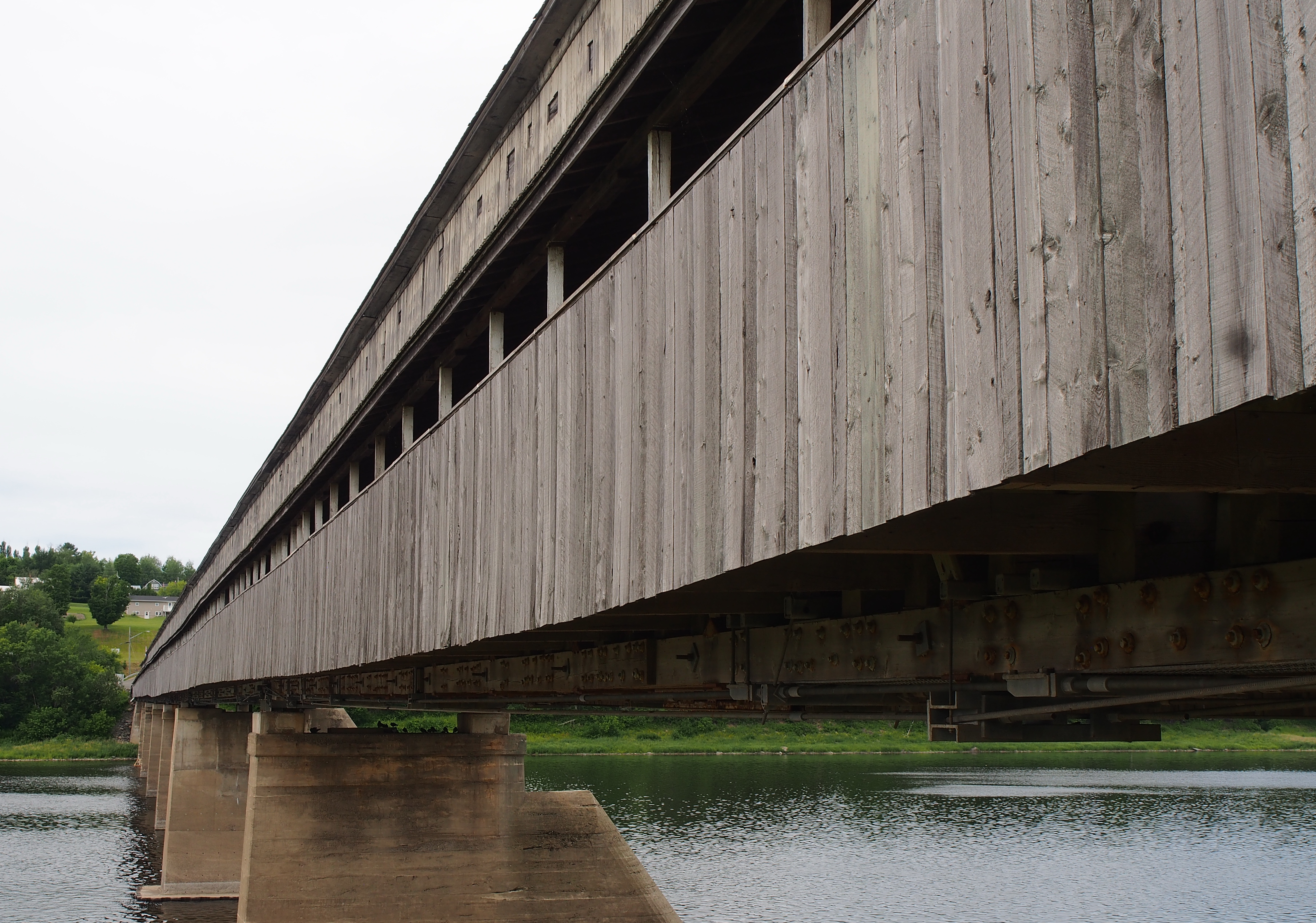
World's Longest Covered Bridge
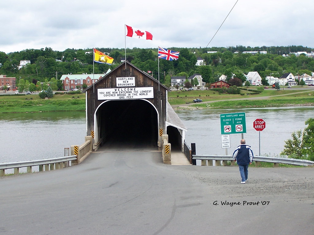
Hartland Covered Bridge
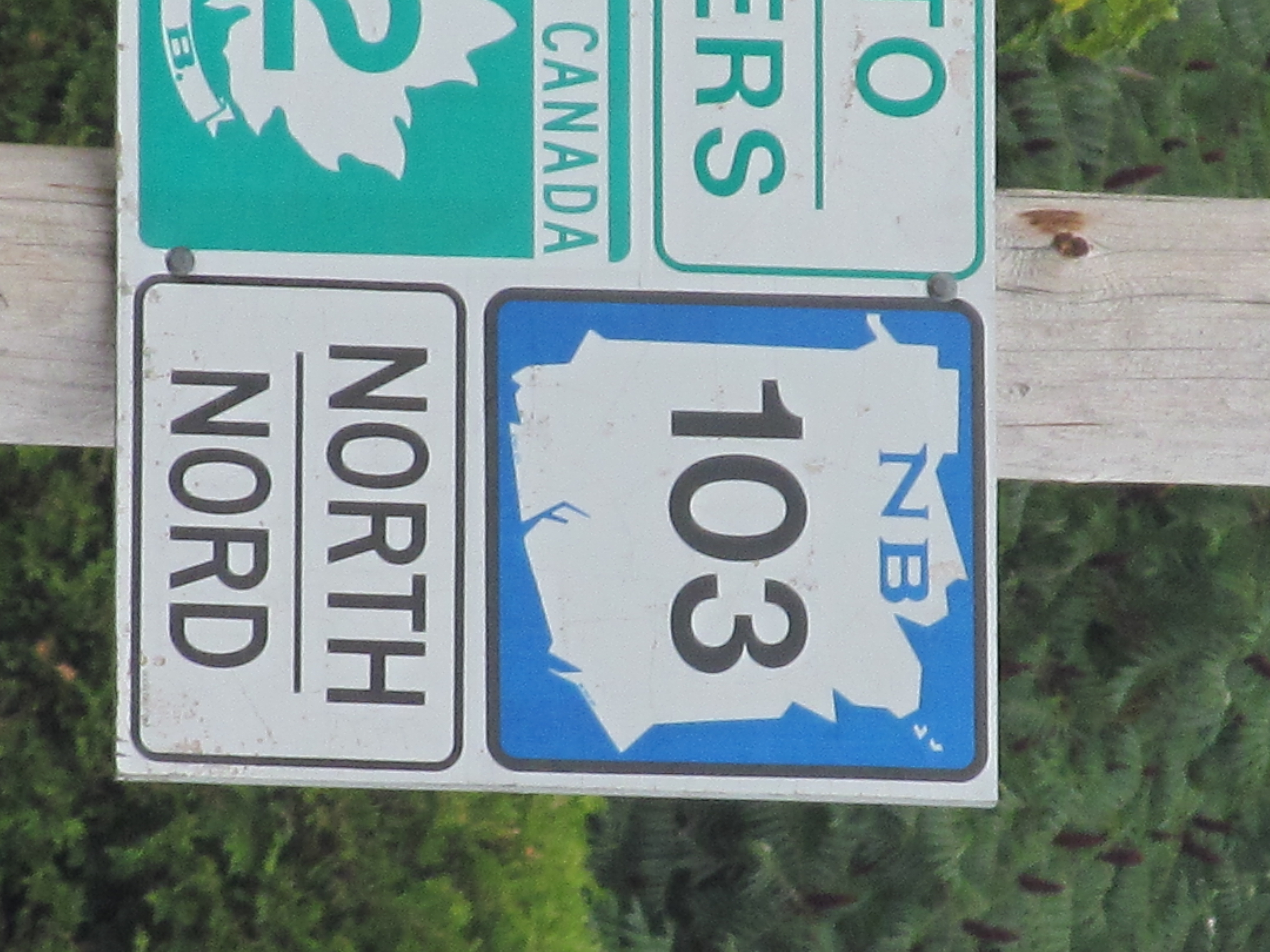
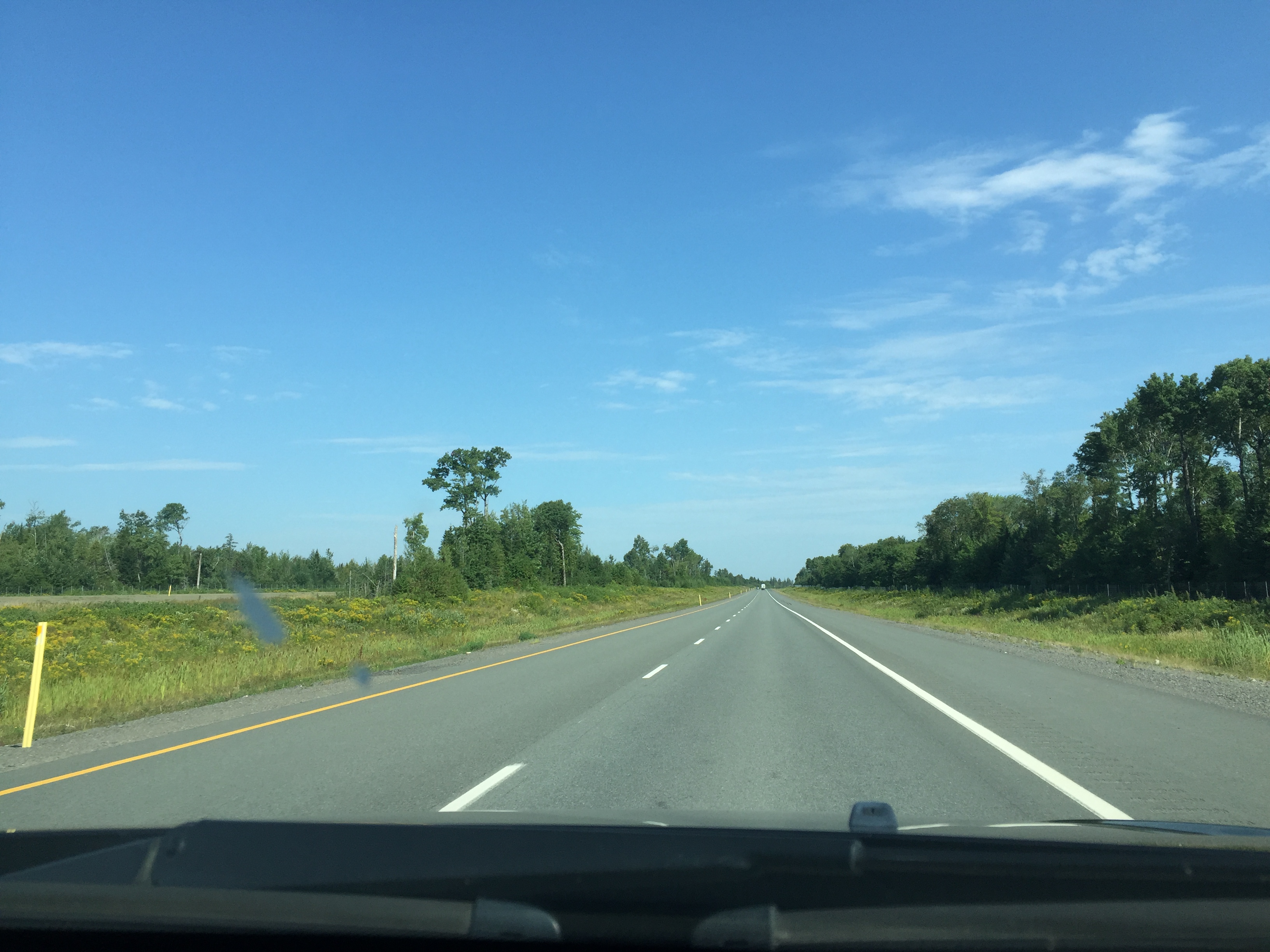
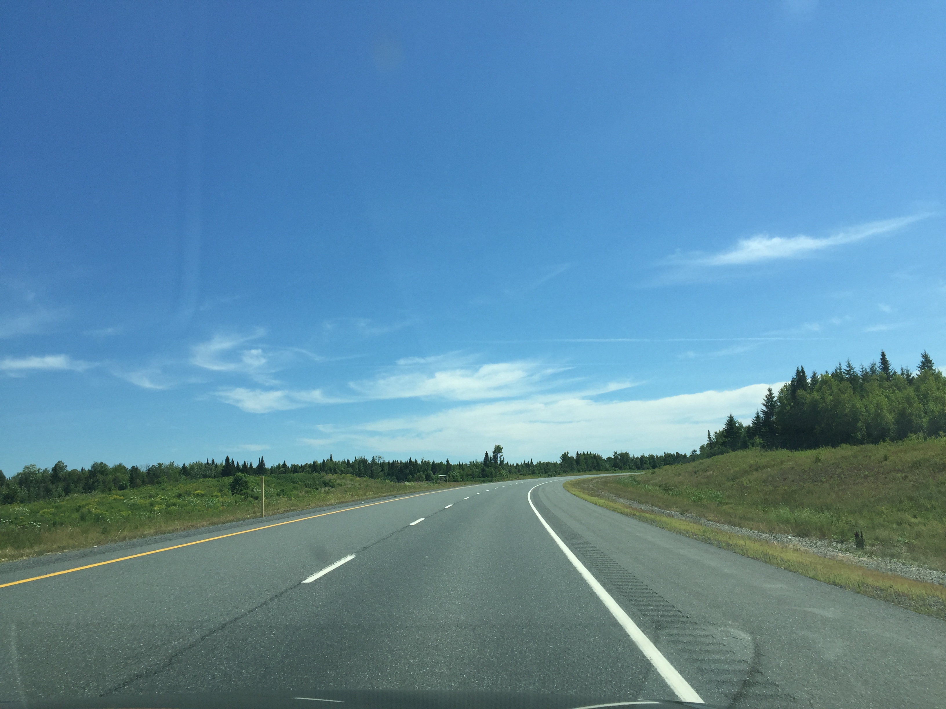
New Brunswick Route 103
A second stop on the way through the Maritimes.

A second stop on the way through the Maritimes.
A second stop on the way through the Maritimes.
IMG_2808.CR2
IMG_2527_edited-1.jpg
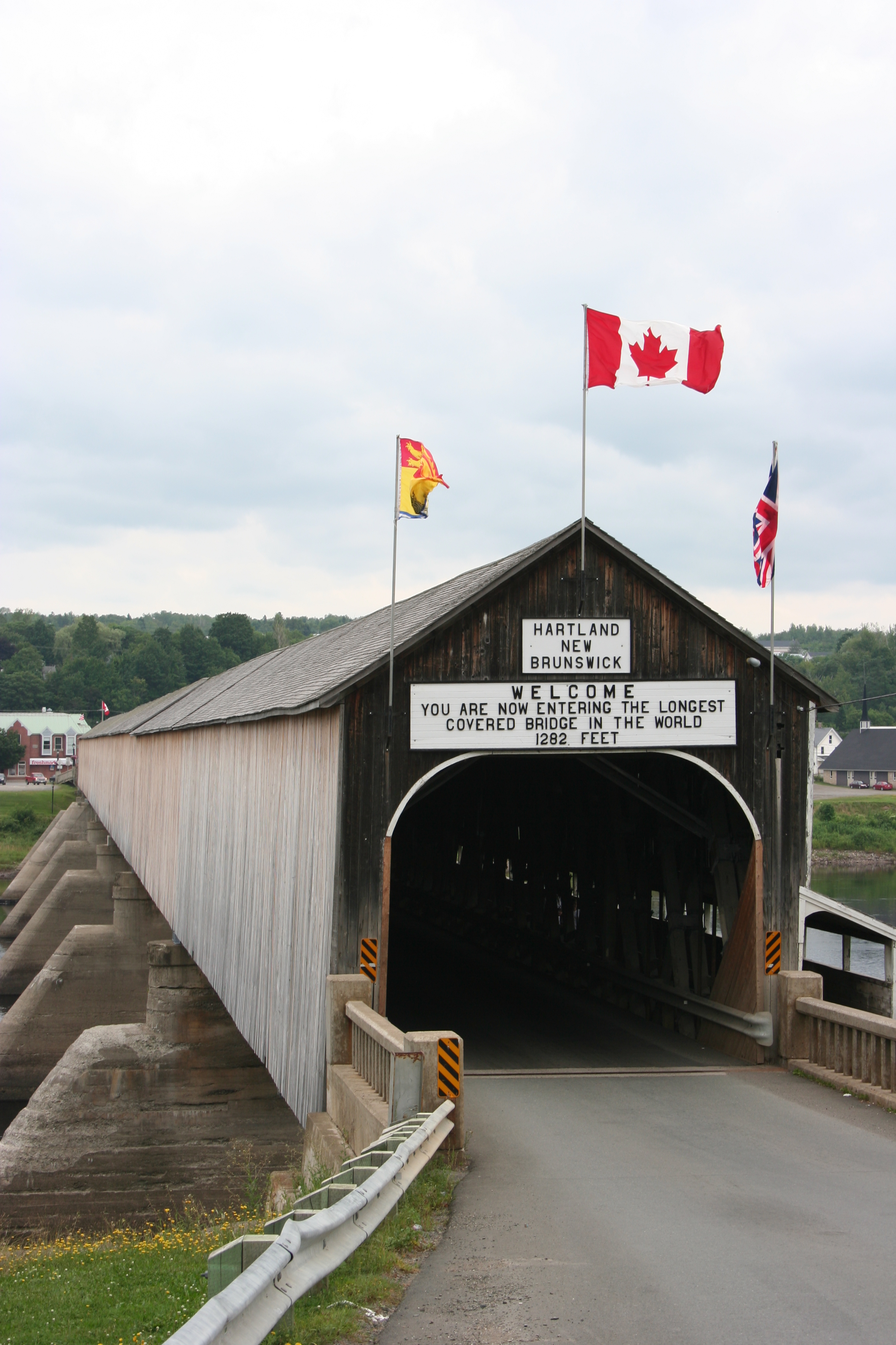
The longest Covered Bridge in the World
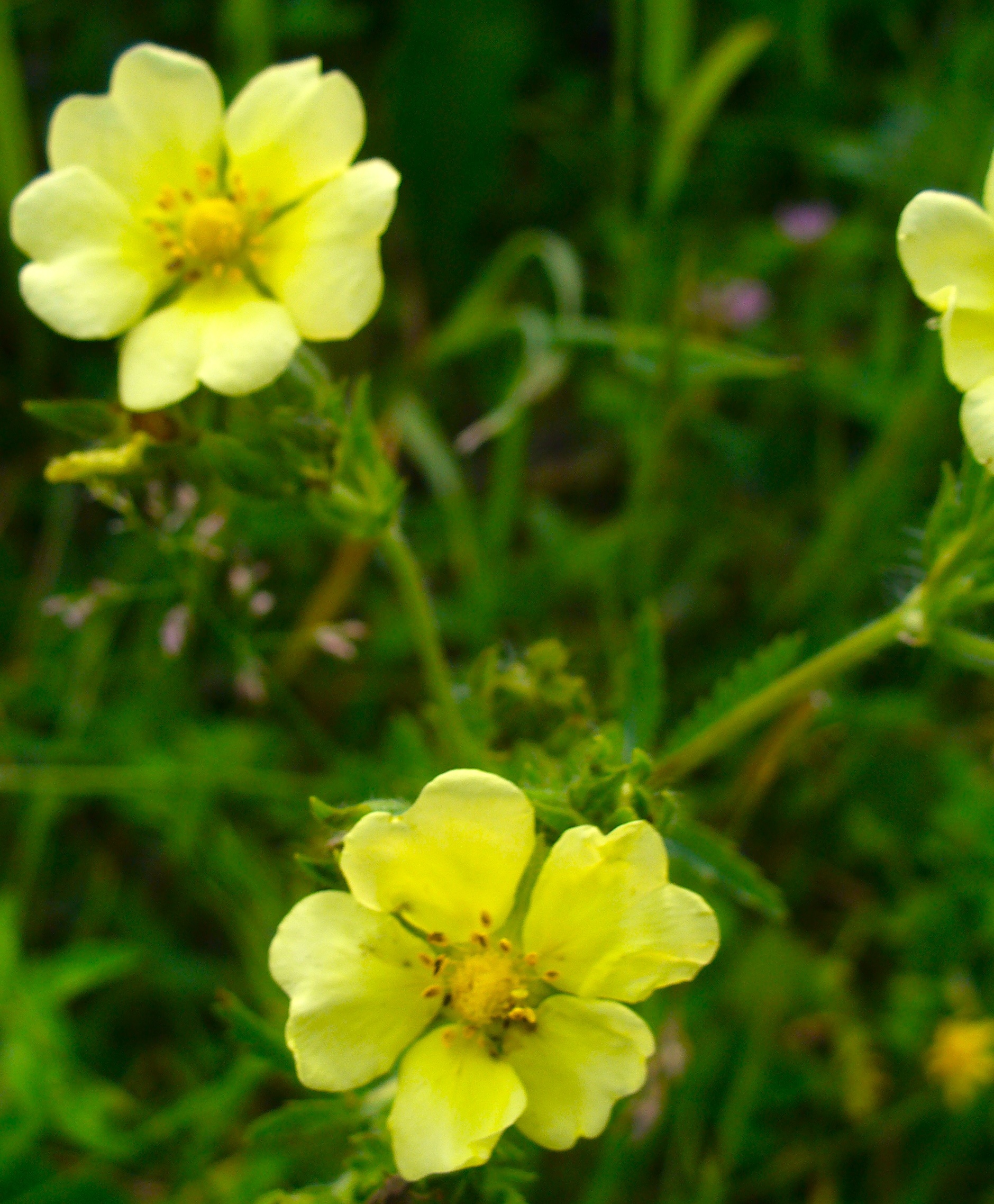
Little yellow flowers

2011 08 21 Road Trip New Brunswick (7)-border
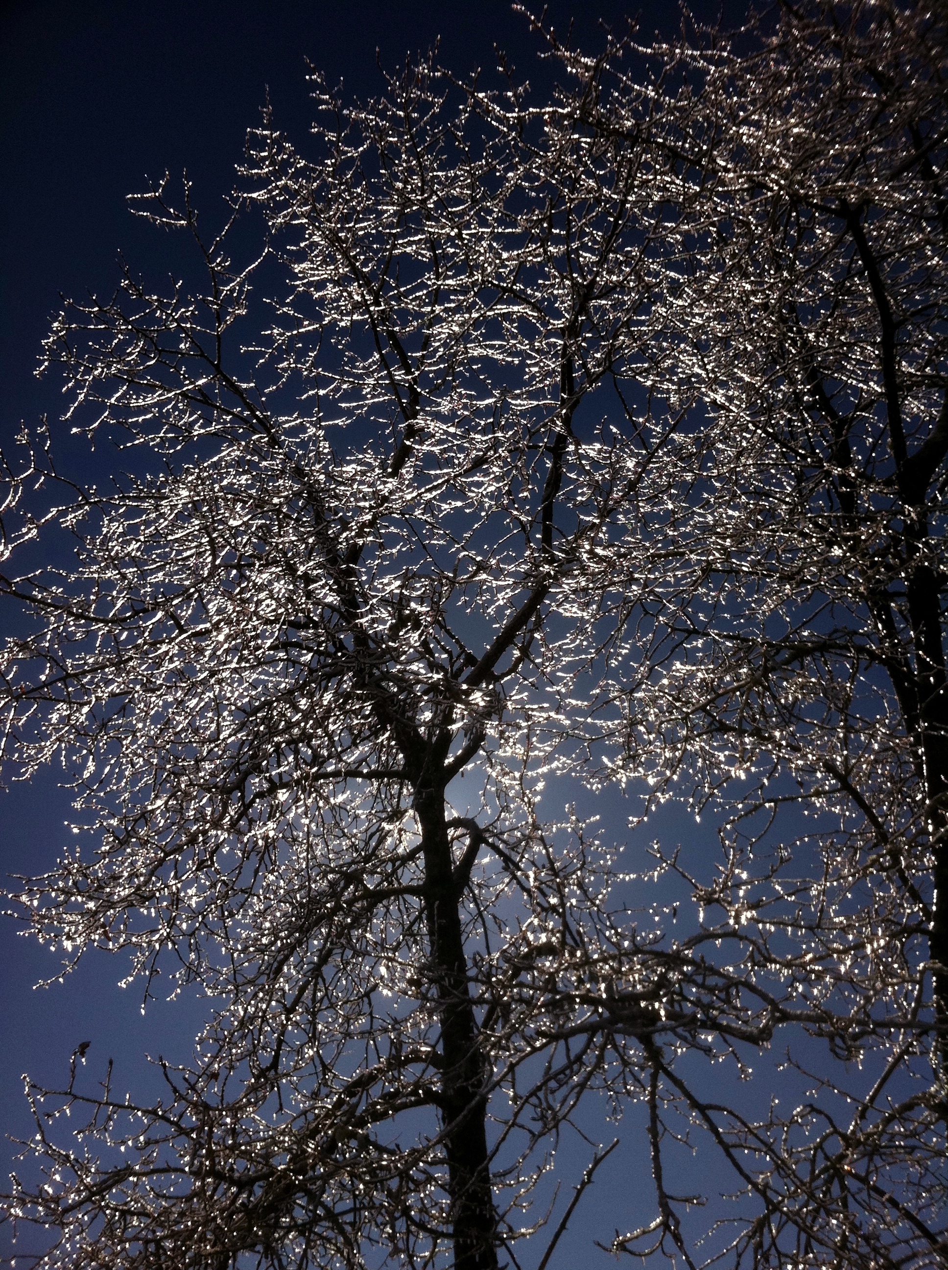
Glass trees, rattling and clinking when the wind blew through them. All of yesterday's rain froze overnight.
Maine Solar System Scale Model Stop 10 of 12: Uranus - Bridgewater Maine
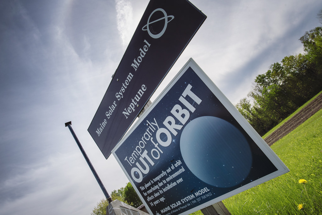
Maine Solar System Scale Model Stop 11 of 12: Neptune - Littleton Maine
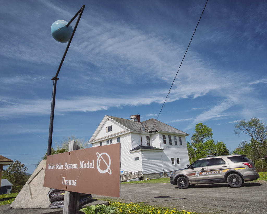
Maine Solar System Scale Model Stop 10 of 12: Uranus - Bridgewater Maine

Double D - Florenceville, New Brunswick
Chatters Settlement to Montreal
Quebec City to New Brunswick
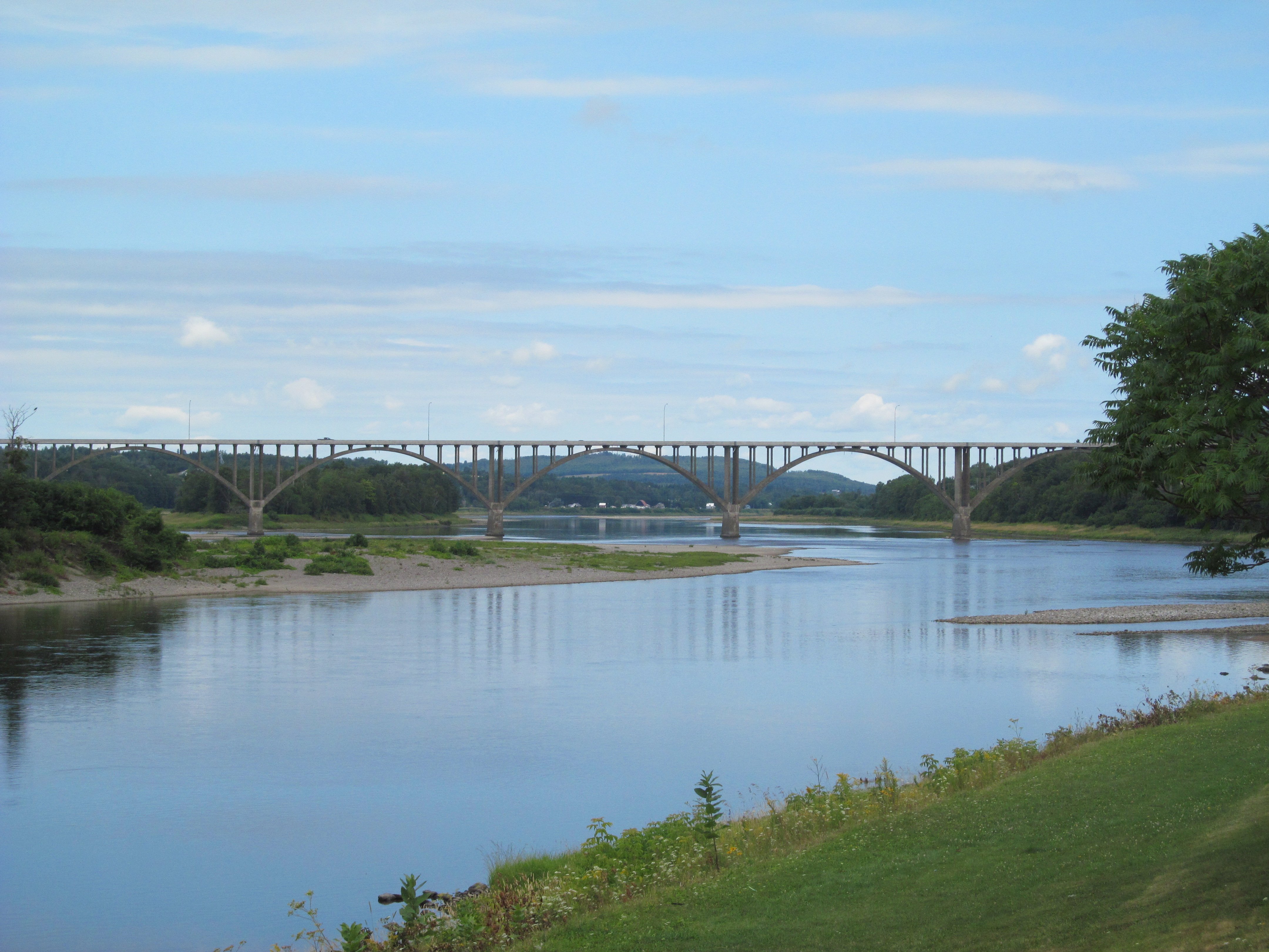
Hugh John Flemming Bridge
Lakeville Fire Department, Deal Rd, Lakeville, NB E7K 1K5, Canada Map
Search another place
Near Places
Wilmot, NB, Canada
NB-, Williamstown, NB E7K 1S3, Canada
Wilmot, NB E7P 2W4, Canada
Williamstown, NB E7K, Canada
NB-, Lindsay, NB E7M 5N8, Canada
Lindsay, NB E7M, Canada
Long Settlement, NB E7K 1R9, Canada
Estey Rd, Waterville, NB E7P 1H5, Canada
Riverbank, NB E7L, Canada
Main St, Riverbank, NB E7L 3Z8, Canada
Waterville, NB E7P, Canada
Goodine William Dr, Rte, Waterville, NB E7P 0A4, Canada
Fullerton Road, Fullerton Rd, Monticello, ME, USA
Monticello, ME, USA
Lansdowne, NB E7L 4B8, Canada
NB-, Wakefield, NB E7M 1A3, Canada
N Rd, Littleton, ME, USA
Littleton, ME, USA
Wakefield, NB E7M 1B1, Canada
NB-, Lower Brighton, NB E7P 1B3, Canada
Recent Searches
- Sunrise Sunset Times of Red Dog Mine, AK, USA
- Sunrise Sunset Times of Am Bahnhof, Am bhf, Borken, Germany
- Sunrise Sunset Times of 4th St E, Sonoma, CA, USA
- Sunrise Sunset Times of Oakland Ave, Williamsport, PA, USA
- Sunrise Sunset Times of Via Roma, Pieranica CR, Italy
- Sunrise Sunset Times of Clock Tower of Dubrovnik, Grad, Dubrovnik, Croatia
- Sunrise Sunset Times of Trelew, Chubut Province, Argentina
- Sunrise Sunset Times of Hartfords Bluff Cir, Mt Pleasant, SC, USA
- Sunrise Sunset Times of Kita Ward, Kumamoto, Japan
- Sunrise Sunset Times of Pingtan Island, Pingtan County, Fuzhou, China