Sunrise Sunset Times of Koga, Ibaraki Prefecture, Japan
Location: Japan > Ibaraki Prefecture >
Timezone:
Asia/Tokyo
Current Time:
2025-06-19 03:18:25
Longitude:
139.7025248
Latitude:
36.1846451
Sunrise Today:
04:23:50 AM
Sunset Today:
07:01:19 PM
Daylength Today:
14h 37m 29s
Sunrise Tomorrow:
04:24:01 AM
Sunset Tomorrow:
07:01:34 PM
Daylength Tomorrow:
14h 37m 33s
Year Show All Dates
| Date | Sunrise | Sunset | Daylength |
|---|---|---|---|
| 01/01/2025 | 06:52:11 AM | 04:37:18 PM | 9h 45m 7s |
| 01/02/2025 | 06:52:21 AM | 04:38:05 PM | 9h 45m 44s |
| 01/03/2025 | 06:52:28 AM | 04:38:53 PM | 9h 46m 25s |
| 01/04/2025 | 06:52:33 AM | 04:39:42 PM | 9h 47m 9s |
| 01/05/2025 | 06:52:36 AM | 04:40:33 PM | 9h 47m 57s |
| 01/06/2025 | 06:52:38 AM | 04:41:25 PM | 9h 48m 47s |
| 01/07/2025 | 06:52:37 AM | 04:42:17 PM | 9h 49m 40s |
| 01/08/2025 | 06:52:34 AM | 04:43:11 PM | 9h 50m 37s |
| 01/09/2025 | 06:52:30 AM | 04:44:05 PM | 9h 51m 35s |
| 01/10/2025 | 06:52:23 AM | 04:45:01 PM | 9h 52m 38s |
| 01/11/2025 | 06:52:14 AM | 04:45:57 PM | 9h 53m 43s |
| 01/12/2025 | 06:52:04 AM | 04:46:54 PM | 9h 54m 50s |
| 01/13/2025 | 06:51:51 AM | 04:47:52 PM | 9h 56m 1s |
| 01/14/2025 | 06:51:37 AM | 04:48:51 PM | 9h 57m 14s |
| 01/15/2025 | 06:51:20 AM | 04:49:50 PM | 9h 58m 30s |
| 01/16/2025 | 06:51:02 AM | 04:50:49 PM | 9h 59m 47s |
| 01/17/2025 | 06:50:42 AM | 04:51:50 PM | 10h 1m 8s |
| 01/18/2025 | 06:50:19 AM | 04:52:51 PM | 10h 2m 32s |
| 01/19/2025 | 06:49:55 AM | 04:53:52 PM | 10h 3m 57s |
| 01/20/2025 | 06:49:29 AM | 04:54:53 PM | 10h 5m 24s |
| 01/21/2025 | 06:49:01 AM | 04:55:56 PM | 10h 6m 55s |
| 01/22/2025 | 06:48:32 AM | 04:56:58 PM | 10h 8m 26s |
| 01/23/2025 | 06:48:00 AM | 04:58:00 PM | 10h 10m 0s |
| 01/24/2025 | 06:47:27 AM | 04:59:03 PM | 10h 11m 36s |
| 01/25/2025 | 06:46:51 AM | 05:00:06 PM | 10h 13m 15s |
| 01/26/2025 | 06:46:15 AM | 05:01:10 PM | 10h 14m 55s |
| 01/27/2025 | 06:45:36 AM | 05:02:13 PM | 10h 16m 37s |
| 01/28/2025 | 06:44:55 AM | 05:03:17 PM | 10h 18m 22s |
| 01/29/2025 | 06:44:13 AM | 05:04:20 PM | 10h 20m 7s |
| 01/30/2025 | 06:43:30 AM | 05:05:24 PM | 10h 21m 54s |
| 01/31/2025 | 06:42:44 AM | 05:06:27 PM | 10h 23m 43s |
| 02/01/2025 | 06:41:57 AM | 05:07:31 PM | 10h 25m 34s |
| 02/02/2025 | 06:41:09 AM | 05:08:34 PM | 10h 27m 25s |
| 02/03/2025 | 06:40:19 AM | 05:09:38 PM | 10h 29m 19s |
| 02/04/2025 | 06:39:27 AM | 05:10:41 PM | 10h 31m 14s |
| 02/05/2025 | 06:38:34 AM | 05:11:44 PM | 10h 33m 10s |
| 02/06/2025 | 06:37:39 AM | 05:12:47 PM | 10h 35m 8s |
| 02/07/2025 | 06:36:43 AM | 05:13:50 PM | 10h 37m 7s |
| 02/08/2025 | 06:35:46 AM | 05:14:53 PM | 10h 39m 7s |
| 02/09/2025 | 06:34:47 AM | 05:15:55 PM | 10h 41m 8s |
| 02/10/2025 | 06:33:47 AM | 05:16:58 PM | 10h 43m 11s |
| 02/11/2025 | 06:32:46 AM | 05:17:59 PM | 10h 45m 13s |
| 02/12/2025 | 06:31:43 AM | 05:19:01 PM | 10h 47m 18s |
| 02/13/2025 | 06:30:39 AM | 05:20:03 PM | 10h 49m 24s |
| 02/14/2025 | 06:29:34 AM | 05:21:04 PM | 10h 51m 30s |
| 02/15/2025 | 06:28:28 AM | 05:22:05 PM | 10h 53m 37s |
| 02/16/2025 | 06:27:21 AM | 05:23:05 PM | 10h 55m 44s |
| 02/17/2025 | 06:26:12 AM | 05:24:06 PM | 10h 57m 54s |
| 02/18/2025 | 06:25:03 AM | 05:25:06 PM | 11h 0m 3s |
| 02/19/2025 | 06:23:52 AM | 05:26:05 PM | 11h 2m 13s |
| 02/20/2025 | 06:22:40 AM | 05:27:04 PM | 11h 4m 24s |
| 02/21/2025 | 06:21:28 AM | 05:28:03 PM | 11h 6m 35s |
| 02/22/2025 | 06:20:14 AM | 05:29:02 PM | 11h 8m 48s |
| 02/23/2025 | 06:19:00 AM | 05:30:00 PM | 11h 11m 0s |
| 02/24/2025 | 06:17:44 AM | 05:30:58 PM | 11h 13m 14s |
| 02/25/2025 | 06:16:28 AM | 05:31:56 PM | 11h 15m 28s |
| 02/26/2025 | 06:15:11 AM | 05:32:53 PM | 11h 17m 42s |
| 02/27/2025 | 06:13:53 AM | 05:33:50 PM | 11h 19m 57s |
| 02/28/2025 | 06:12:35 AM | 05:34:47 PM | 11h 22m 12s |
| 03/01/2025 | 06:11:16 AM | 05:35:44 PM | 11h 24m 28s |
| 03/02/2025 | 06:09:56 AM | 05:36:40 PM | 11h 26m 44s |
| 03/03/2025 | 06:08:35 AM | 05:37:35 PM | 11h 29m 0s |
| 03/04/2025 | 06:07:14 AM | 05:38:31 PM | 11h 31m 17s |
| 03/05/2025 | 06:05:52 AM | 05:39:26 PM | 11h 33m 34s |
| 03/06/2025 | 06:04:30 AM | 05:40:21 PM | 11h 35m 51s |
| 03/07/2025 | 06:03:07 AM | 05:41:15 PM | 11h 38m 8s |
| 03/08/2025 | 06:01:43 AM | 05:42:10 PM | 11h 40m 27s |
| 03/09/2025 | 06:00:19 AM | 05:43:04 PM | 11h 42m 45s |
| 03/10/2025 | 05:58:55 AM | 05:43:57 PM | 11h 45m 2s |
| 03/11/2025 | 05:57:30 AM | 05:44:51 PM | 11h 47m 21s |
| 03/12/2025 | 05:56:05 AM | 05:45:44 PM | 11h 49m 39s |
| 03/13/2025 | 05:54:40 AM | 05:46:37 PM | 11h 51m 57s |
| 03/14/2025 | 05:53:14 AM | 05:47:30 PM | 11h 54m 16s |
| 03/15/2025 | 05:51:48 AM | 05:48:23 PM | 11h 56m 35s |
| 03/16/2025 | 05:50:22 AM | 05:49:15 PM | 11h 58m 53s |
| 03/17/2025 | 05:48:55 AM | 05:50:07 PM | 12h 1m 12s |
| 03/18/2025 | 05:47:28 AM | 05:50:59 PM | 12h 3m 31s |
| 03/19/2025 | 05:46:01 AM | 05:51:51 PM | 12h 5m 50s |
| 03/20/2025 | 05:44:34 AM | 05:52:43 PM | 12h 8m 9s |
| 03/21/2025 | 05:43:07 AM | 05:53:34 PM | 12h 10m 27s |
| 03/22/2025 | 05:41:40 AM | 05:54:26 PM | 12h 12m 46s |
| 03/23/2025 | 05:40:13 AM | 05:55:17 PM | 12h 15m 4s |
| 03/24/2025 | 05:38:45 AM | 05:56:08 PM | 12h 17m 23s |
| 03/25/2025 | 05:37:18 AM | 05:57:00 PM | 12h 19m 42s |
| 03/26/2025 | 05:35:51 AM | 05:57:51 PM | 12h 22m 0s |
| 03/27/2025 | 05:34:24 AM | 05:58:42 PM | 12h 24m 18s |
| 03/28/2025 | 05:32:57 AM | 05:59:32 PM | 12h 26m 35s |
| 03/29/2025 | 05:31:30 AM | 06:00:23 PM | 12h 28m 53s |
| 03/30/2025 | 05:30:03 AM | 06:01:14 PM | 12h 31m 11s |
| 03/31/2025 | 05:28:36 AM | 06:02:05 PM | 12h 33m 29s |
| 04/01/2025 | 05:27:10 AM | 06:02:55 PM | 12h 35m 45s |
| 04/02/2025 | 05:25:44 AM | 06:03:46 PM | 12h 38m 2s |
| 04/03/2025 | 05:24:18 AM | 06:04:37 PM | 12h 40m 19s |
| 04/04/2025 | 05:22:53 AM | 06:05:27 PM | 12h 42m 34s |
| 04/05/2025 | 05:21:27 AM | 06:06:18 PM | 12h 44m 51s |
| 04/06/2025 | 05:20:03 AM | 06:07:09 PM | 12h 47m 6s |
| 04/07/2025 | 05:18:38 AM | 06:07:59 PM | 12h 49m 21s |
| 04/08/2025 | 05:17:14 AM | 06:08:50 PM | 12h 51m 36s |
| 04/09/2025 | 05:15:51 AM | 06:09:41 PM | 12h 53m 50s |
| 04/10/2025 | 05:14:27 AM | 06:10:32 PM | 12h 56m 5s |
| 04/11/2025 | 05:13:05 AM | 06:11:22 PM | 12h 58m 17s |
| 04/12/2025 | 05:11:43 AM | 06:12:13 PM | 13h 0m 30s |
| 04/13/2025 | 05:10:21 AM | 06:13:04 PM | 13h 2m 43s |
| 04/14/2025 | 05:09:01 AM | 06:13:55 PM | 13h 4m 54s |
| 04/15/2025 | 05:07:40 AM | 06:14:46 PM | 13h 7m 6s |
| 04/16/2025 | 05:06:21 AM | 06:15:37 PM | 13h 9m 16s |
| 04/17/2025 | 05:05:02 AM | 06:16:28 PM | 13h 11m 26s |
| 04/18/2025 | 05:03:44 AM | 06:17:20 PM | 13h 13m 36s |
| 04/19/2025 | 05:02:26 AM | 06:18:11 PM | 13h 15m 45s |
| 04/20/2025 | 05:01:10 AM | 06:19:02 PM | 13h 17m 52s |
| 04/21/2025 | 04:59:54 AM | 06:19:53 PM | 13h 19m 59s |
| 04/22/2025 | 04:58:39 AM | 06:20:45 PM | 13h 22m 6s |
| 04/23/2025 | 04:57:25 AM | 06:21:36 PM | 13h 24m 11s |
| 04/24/2025 | 04:56:12 AM | 06:22:28 PM | 13h 26m 16s |
| 04/25/2025 | 04:54:59 AM | 06:23:19 PM | 13h 28m 20s |
| 04/26/2025 | 04:53:48 AM | 06:24:11 PM | 13h 30m 23s |
| 04/27/2025 | 04:52:37 AM | 06:25:02 PM | 13h 32m 25s |
| 04/28/2025 | 04:51:28 AM | 06:25:54 PM | 13h 34m 26s |
| 04/29/2025 | 04:50:20 AM | 06:26:45 PM | 13h 36m 25s |
| 04/30/2025 | 04:49:12 AM | 06:27:37 PM | 13h 38m 25s |
| 05/01/2025 | 04:48:06 AM | 06:28:28 PM | 13h 40m 22s |
| 05/02/2025 | 04:47:01 AM | 06:29:20 PM | 13h 42m 19s |
| 05/03/2025 | 04:45:57 AM | 06:30:11 PM | 13h 44m 14s |
| 05/04/2025 | 04:44:55 AM | 06:31:02 PM | 13h 46m 7s |
| 05/05/2025 | 04:43:53 AM | 06:31:54 PM | 13h 48m 1s |
| 05/06/2025 | 04:42:53 AM | 06:32:45 PM | 13h 49m 52s |
| 05/07/2025 | 04:41:54 AM | 06:33:36 PM | 13h 51m 42s |
| 05/08/2025 | 04:40:56 AM | 06:34:26 PM | 13h 53m 30s |
| 05/09/2025 | 04:39:59 AM | 06:35:17 PM | 13h 55m 18s |
| 05/10/2025 | 04:39:04 AM | 06:36:08 PM | 13h 57m 4s |
| 05/11/2025 | 04:38:11 AM | 06:36:58 PM | 13h 58m 47s |
| 05/12/2025 | 04:37:18 AM | 06:37:48 PM | 14h 0m 30s |
| 05/13/2025 | 04:36:27 AM | 06:38:38 PM | 14h 2m 11s |
| 05/14/2025 | 04:35:38 AM | 06:39:27 PM | 14h 3m 49s |
| 05/15/2025 | 04:34:50 AM | 06:40:16 PM | 14h 5m 26s |
| 05/16/2025 | 04:34:03 AM | 06:41:05 PM | 14h 7m 2s |
| 05/17/2025 | 04:33:18 AM | 06:41:53 PM | 14h 8m 35s |
| 05/18/2025 | 04:32:34 AM | 06:42:41 PM | 14h 10m 7s |
| 05/19/2025 | 04:31:52 AM | 06:43:29 PM | 14h 11m 37s |
| 05/20/2025 | 04:31:12 AM | 06:44:16 PM | 14h 13m 4s |
| 05/21/2025 | 04:30:33 AM | 06:45:03 PM | 14h 14m 30s |
| 05/22/2025 | 04:29:55 AM | 06:45:49 PM | 14h 15m 54s |
| 05/23/2025 | 04:29:20 AM | 06:46:34 PM | 14h 17m 14s |
| 05/24/2025 | 04:28:45 AM | 06:47:19 PM | 14h 18m 34s |
| 05/25/2025 | 04:28:13 AM | 06:48:04 PM | 14h 19m 51s |
| 05/26/2025 | 04:27:42 AM | 06:48:47 PM | 14h 21m 5s |
| 05/27/2025 | 04:27:13 AM | 06:49:30 PM | 14h 22m 17s |
| 05/28/2025 | 04:26:45 AM | 06:50:12 PM | 14h 23m 27s |
| 05/29/2025 | 04:26:20 AM | 06:50:54 PM | 14h 24m 34s |
| 05/30/2025 | 04:25:56 AM | 06:51:34 PM | 14h 25m 38s |
| 05/31/2025 | 04:25:33 AM | 06:52:14 PM | 14h 26m 41s |
| 06/01/2025 | 04:25:12 AM | 06:52:53 PM | 14h 27m 41s |
| 06/02/2025 | 04:24:53 AM | 06:53:31 PM | 14h 28m 38s |
| 06/03/2025 | 04:24:36 AM | 06:54:08 PM | 14h 29m 32s |
| 06/04/2025 | 04:24:20 AM | 06:54:44 PM | 14h 30m 24s |
| 06/05/2025 | 04:24:07 AM | 06:55:18 PM | 14h 31m 11s |
| 06/06/2025 | 04:23:55 AM | 06:55:52 PM | 14h 31m 57s |
| 06/07/2025 | 04:23:44 AM | 06:56:25 PM | 14h 32m 41s |
| 06/08/2025 | 04:23:35 AM | 06:56:57 PM | 14h 33m 22s |
| 06/09/2025 | 04:23:28 AM | 06:57:27 PM | 14h 33m 59s |
| 06/10/2025 | 04:23:23 AM | 06:57:56 PM | 14h 34m 33s |
| 06/11/2025 | 04:23:19 AM | 06:58:24 PM | 14h 35m 5s |
| 06/12/2025 | 04:23:17 AM | 06:58:51 PM | 14h 35m 34s |
| 06/13/2025 | 04:23:17 AM | 06:59:16 PM | 14h 35m 59s |
| 06/14/2025 | 04:23:19 AM | 06:59:40 PM | 14h 36m 21s |
| 06/15/2025 | 04:23:22 AM | 07:00:02 PM | 14h 36m 40s |
| 06/16/2025 | 04:23:26 AM | 07:00:24 PM | 14h 36m 58s |
| 06/17/2025 | 04:23:33 AM | 07:00:43 PM | 14h 37m 10s |
| 06/18/2025 | 04:23:40 AM | 07:01:01 PM | 14h 37m 21s |
| 06/19/2025 | 04:23:50 AM | 07:01:18 PM | 14h 37m 28s |
| 06/20/2025 | 04:24:01 AM | 07:01:33 PM | 14h 37m 32s |
| 06/21/2025 | 04:24:13 AM | 07:01:47 PM | 14h 37m 34s |
| 06/22/2025 | 04:24:27 AM | 07:01:59 PM | 14h 37m 32s |
| 06/23/2025 | 04:24:43 AM | 07:02:10 PM | 14h 37m 27s |
| 06/24/2025 | 04:25:00 AM | 07:02:18 PM | 14h 37m 18s |
| 06/25/2025 | 04:25:18 AM | 07:02:26 PM | 14h 37m 8s |
| 06/26/2025 | 04:25:38 AM | 07:02:31 PM | 14h 36m 53s |
| 06/27/2025 | 04:25:59 AM | 07:02:35 PM | 14h 36m 36s |
| 06/28/2025 | 04:26:22 AM | 07:02:37 PM | 14h 36m 15s |
| 06/29/2025 | 04:26:45 AM | 07:02:38 PM | 14h 35m 53s |
| 06/30/2025 | 04:27:11 AM | 07:02:36 PM | 14h 35m 25s |
| 07/01/2025 | 04:27:37 AM | 07:02:33 PM | 14h 34m 56s |
| 07/02/2025 | 04:28:04 AM | 07:02:29 PM | 14h 34m 25s |
| 07/03/2025 | 04:28:33 AM | 07:02:22 PM | 14h 33m 49s |
| 07/04/2025 | 04:29:03 AM | 07:02:14 PM | 14h 33m 11s |
| 07/05/2025 | 04:29:34 AM | 07:02:04 PM | 14h 32m 30s |
| 07/06/2025 | 04:30:06 AM | 07:01:52 PM | 14h 31m 46s |
| 07/07/2025 | 04:30:39 AM | 07:01:39 PM | 14h 31m 0s |
| 07/08/2025 | 04:31:13 AM | 07:01:24 PM | 14h 30m 11s |
| 07/09/2025 | 04:31:48 AM | 07:01:07 PM | 14h 29m 19s |
| 07/10/2025 | 04:32:24 AM | 07:00:48 PM | 14h 28m 24s |
| 07/11/2025 | 04:33:00 AM | 07:00:28 PM | 14h 27m 28s |
| 07/12/2025 | 04:33:38 AM | 07:00:05 PM | 14h 26m 27s |
| 07/13/2025 | 04:34:16 AM | 06:59:41 PM | 14h 25m 25s |
| 07/14/2025 | 04:34:55 AM | 06:59:16 PM | 14h 24m 21s |
| 07/15/2025 | 04:35:35 AM | 06:58:48 PM | 14h 23m 13s |
| 07/16/2025 | 04:36:16 AM | 06:58:19 PM | 14h 22m 3s |
| 07/17/2025 | 04:36:57 AM | 06:57:48 PM | 14h 20m 51s |
| 07/18/2025 | 04:37:39 AM | 06:57:16 PM | 14h 19m 37s |
| 07/19/2025 | 04:38:22 AM | 06:56:42 PM | 14h 18m 20s |
| 07/20/2025 | 04:39:05 AM | 06:56:06 PM | 14h 17m 1s |
| 07/21/2025 | 04:39:48 AM | 06:55:28 PM | 14h 15m 40s |
| 07/22/2025 | 04:40:32 AM | 06:54:49 PM | 14h 14m 17s |
| 07/23/2025 | 04:41:17 AM | 06:54:08 PM | 14h 12m 51s |
| 07/24/2025 | 04:42:01 AM | 06:53:26 PM | 14h 11m 25s |
| 07/25/2025 | 04:42:47 AM | 06:52:42 PM | 14h 9m 55s |
| 07/26/2025 | 04:43:32 AM | 06:51:57 PM | 14h 8m 25s |
| 07/27/2025 | 04:44:18 AM | 06:51:10 PM | 14h 6m 52s |
| 07/28/2025 | 04:45:05 AM | 06:50:21 PM | 14h 5m 16s |
| 07/29/2025 | 04:45:51 AM | 06:49:31 PM | 14h 3m 40s |
| 07/30/2025 | 04:46:38 AM | 06:48:40 PM | 14h 2m 2s |
| 07/31/2025 | 04:47:25 AM | 06:47:47 PM | 14h 0m 22s |
| 08/01/2025 | 04:48:12 AM | 06:46:53 PM | 13h 58m 41s |
| 08/02/2025 | 04:49:00 AM | 06:45:57 PM | 13h 56m 57s |
| 08/03/2025 | 04:49:47 AM | 06:45:00 PM | 13h 55m 13s |
| 08/04/2025 | 04:50:35 AM | 06:44:02 PM | 13h 53m 27s |
| 08/05/2025 | 04:51:23 AM | 06:43:02 PM | 13h 51m 39s |
| 08/06/2025 | 04:52:11 AM | 06:42:01 PM | 13h 49m 50s |
| 08/07/2025 | 04:52:59 AM | 06:40:59 PM | 13h 48m 0s |
| 08/08/2025 | 04:53:47 AM | 06:39:55 PM | 13h 46m 8s |
| 08/09/2025 | 04:54:35 AM | 06:38:51 PM | 13h 44m 16s |
| 08/10/2025 | 04:55:23 AM | 06:37:45 PM | 13h 42m 22s |
| 08/11/2025 | 04:56:11 AM | 06:36:38 PM | 13h 40m 27s |
| 08/12/2025 | 04:56:59 AM | 06:35:30 PM | 13h 38m 31s |
| 08/13/2025 | 04:57:47 AM | 06:34:21 PM | 13h 36m 34s |
| 08/14/2025 | 04:58:35 AM | 06:33:10 PM | 13h 34m 35s |
| 08/15/2025 | 04:59:23 AM | 06:31:59 PM | 13h 32m 36s |
| 08/16/2025 | 05:00:11 AM | 06:30:47 PM | 13h 30m 36s |
| 08/17/2025 | 05:00:59 AM | 06:29:33 PM | 13h 28m 34s |
| 08/18/2025 | 05:01:47 AM | 06:28:19 PM | 13h 26m 32s |
| 08/19/2025 | 05:02:35 AM | 06:27:04 PM | 13h 24m 29s |
| 08/20/2025 | 05:03:22 AM | 06:25:48 PM | 13h 22m 26s |
| 08/21/2025 | 05:04:10 AM | 06:24:31 PM | 13h 20m 21s |
| 08/22/2025 | 05:04:57 AM | 06:23:13 PM | 13h 18m 16s |
| 08/23/2025 | 05:05:45 AM | 06:21:54 PM | 13h 16m 9s |
| 08/24/2025 | 05:06:32 AM | 06:20:35 PM | 13h 14m 3s |
| 08/25/2025 | 05:07:20 AM | 06:19:15 PM | 13h 11m 55s |
| 08/26/2025 | 05:08:07 AM | 06:17:54 PM | 13h 9m 47s |
| 08/27/2025 | 05:08:54 AM | 06:16:32 PM | 13h 7m 38s |
| 08/28/2025 | 05:09:41 AM | 06:15:10 PM | 13h 5m 29s |
| 08/29/2025 | 05:10:28 AM | 06:13:47 PM | 13h 3m 19s |
| 08/30/2025 | 05:11:15 AM | 06:12:24 PM | 13h 1m 9s |
| 08/31/2025 | 05:12:01 AM | 06:11:00 PM | 12h 58m 59s |
| 09/01/2025 | 05:12:48 AM | 06:09:35 PM | 12h 56m 47s |
| 09/02/2025 | 05:13:35 AM | 06:08:10 PM | 12h 54m 35s |
| 09/03/2025 | 05:14:21 AM | 06:06:44 PM | 12h 52m 23s |
| 09/04/2025 | 05:15:08 AM | 06:05:18 PM | 12h 50m 10s |
| 09/05/2025 | 05:15:54 AM | 06:03:52 PM | 12h 47m 58s |
| 09/06/2025 | 05:16:41 AM | 06:02:25 PM | 12h 45m 44s |
| 09/07/2025 | 05:17:27 AM | 06:00:57 PM | 12h 43m 30s |
| 09/08/2025 | 05:18:14 AM | 05:59:30 PM | 12h 41m 16s |
| 09/09/2025 | 05:19:00 AM | 05:58:02 PM | 12h 39m 2s |
| 09/10/2025 | 05:19:46 AM | 05:56:33 PM | 12h 36m 47s |
| 09/11/2025 | 05:20:33 AM | 05:55:05 PM | 12h 34m 32s |
| 09/12/2025 | 05:21:19 AM | 05:53:36 PM | 12h 32m 17s |
| 09/13/2025 | 05:22:05 AM | 05:52:07 PM | 12h 30m 2s |
| 09/14/2025 | 05:22:52 AM | 05:50:38 PM | 12h 27m 46s |
| 09/15/2025 | 05:23:38 AM | 05:49:09 PM | 12h 25m 31s |
| 09/16/2025 | 05:24:25 AM | 05:47:39 PM | 12h 23m 14s |
| 09/17/2025 | 05:25:11 AM | 05:46:10 PM | 12h 20m 59s |
| 09/18/2025 | 05:25:58 AM | 05:44:40 PM | 12h 18m 42s |
| 09/19/2025 | 05:26:45 AM | 05:43:11 PM | 12h 16m 26s |
| 09/20/2025 | 05:27:32 AM | 05:41:41 PM | 12h 14m 9s |
| 09/21/2025 | 05:28:19 AM | 05:40:12 PM | 12h 11m 53s |
| 09/22/2025 | 05:29:06 AM | 05:38:42 PM | 12h 9m 36s |
| 09/23/2025 | 05:29:53 AM | 05:37:13 PM | 12h 7m 20s |
| 09/24/2025 | 05:30:40 AM | 05:35:44 PM | 12h 5m 4s |
| 09/25/2025 | 05:31:28 AM | 05:34:14 PM | 12h 2m 46s |
| 09/26/2025 | 05:32:15 AM | 05:32:45 PM | 12h 0m 30s |
| 09/27/2025 | 05:33:03 AM | 05:31:17 PM | 11h 58m 14s |
| 09/28/2025 | 05:33:51 AM | 05:29:48 PM | 11h 55m 57s |
| 09/29/2025 | 05:34:39 AM | 05:28:20 PM | 11h 53m 41s |
| 09/30/2025 | 05:35:28 AM | 05:26:52 PM | 11h 51m 24s |
| 10/01/2025 | 05:36:17 AM | 05:25:24 PM | 11h 49m 7s |
| 10/02/2025 | 05:37:06 AM | 05:23:57 PM | 11h 46m 51s |
| 10/03/2025 | 05:37:55 AM | 05:22:30 PM | 11h 44m 35s |
| 10/04/2025 | 05:38:44 AM | 05:21:03 PM | 11h 42m 19s |
| 10/05/2025 | 05:39:34 AM | 05:19:37 PM | 11h 40m 3s |
| 10/06/2025 | 05:40:24 AM | 05:18:12 PM | 11h 37m 48s |
| 10/07/2025 | 05:41:14 AM | 05:16:46 PM | 11h 35m 32s |
| 10/08/2025 | 05:42:05 AM | 05:15:22 PM | 11h 33m 17s |
| 10/09/2025 | 05:42:56 AM | 05:13:58 PM | 11h 31m 2s |
| 10/10/2025 | 05:43:47 AM | 05:12:34 PM | 11h 28m 47s |
| 10/11/2025 | 05:44:38 AM | 05:11:12 PM | 11h 26m 34s |
| 10/12/2025 | 05:45:30 AM | 05:09:49 PM | 11h 24m 19s |
| 10/13/2025 | 05:46:22 AM | 05:08:28 PM | 11h 22m 6s |
| 10/14/2025 | 05:47:15 AM | 05:07:07 PM | 11h 19m 52s |
| 10/15/2025 | 05:48:08 AM | 05:05:47 PM | 11h 17m 39s |
| 10/16/2025 | 05:49:01 AM | 05:04:28 PM | 11h 15m 27s |
| 10/17/2025 | 05:49:54 AM | 05:03:09 PM | 11h 13m 15s |
| 10/18/2025 | 05:50:48 AM | 05:01:52 PM | 11h 11m 4s |
| 10/19/2025 | 05:51:43 AM | 05:00:35 PM | 11h 8m 52s |
| 10/20/2025 | 05:52:37 AM | 04:59:19 PM | 11h 6m 42s |
| 10/21/2025 | 05:53:32 AM | 04:58:04 PM | 11h 4m 32s |
| 10/22/2025 | 05:54:28 AM | 04:56:51 PM | 11h 2m 23s |
| 10/23/2025 | 05:55:23 AM | 04:55:38 PM | 11h 0m 15s |
| 10/24/2025 | 05:56:19 AM | 04:54:26 PM | 10h 58m 7s |
| 10/25/2025 | 05:57:16 AM | 04:53:15 PM | 10h 55m 59s |
| 10/26/2025 | 05:58:12 AM | 04:52:05 PM | 10h 53m 53s |
| 10/27/2025 | 05:59:09 AM | 04:50:57 PM | 10h 51m 48s |
| 10/28/2025 | 06:00:07 AM | 04:49:49 PM | 10h 49m 42s |
| 10/29/2025 | 06:01:05 AM | 04:48:43 PM | 10h 47m 38s |
| 10/30/2025 | 06:02:03 AM | 04:47:38 PM | 10h 45m 35s |
| 10/31/2025 | 06:03:01 AM | 04:46:34 PM | 10h 43m 33s |
| 11/01/2025 | 06:03:59 AM | 04:45:32 PM | 10h 41m 33s |
| 11/02/2025 | 06:04:58 AM | 04:44:31 PM | 10h 39m 33s |
| 11/03/2025 | 06:05:58 AM | 04:43:31 PM | 10h 37m 33s |
| 11/04/2025 | 06:06:57 AM | 04:42:33 PM | 10h 35m 36s |
| 11/05/2025 | 06:07:57 AM | 04:41:36 PM | 10h 33m 39s |
| 11/06/2025 | 06:08:56 AM | 04:40:40 PM | 10h 31m 44s |
| 11/07/2025 | 06:09:56 AM | 04:39:46 PM | 10h 29m 50s |
| 11/08/2025 | 06:10:57 AM | 04:38:54 PM | 10h 27m 57s |
| 11/09/2025 | 06:11:57 AM | 04:38:03 PM | 10h 26m 6s |
| 11/10/2025 | 06:12:57 AM | 04:37:14 PM | 10h 24m 17s |
| 11/11/2025 | 06:13:58 AM | 04:36:26 PM | 10h 22m 28s |
| 11/12/2025 | 06:14:59 AM | 04:35:40 PM | 10h 20m 41s |
| 11/13/2025 | 06:15:59 AM | 04:34:55 PM | 10h 18m 56s |
| 11/14/2025 | 06:17:00 AM | 04:34:12 PM | 10h 17m 12s |
| 11/15/2025 | 06:18:01 AM | 04:33:31 PM | 10h 15m 30s |
| 11/16/2025 | 06:19:01 AM | 04:32:52 PM | 10h 13m 51s |
| 11/17/2025 | 06:20:02 AM | 04:32:14 PM | 10h 12m 12s |
| 11/18/2025 | 06:21:02 AM | 04:31:39 PM | 10h 10m 37s |
| 11/19/2025 | 06:22:02 AM | 04:31:05 PM | 10h 9m 3s |
| 11/20/2025 | 06:23:02 AM | 04:30:32 PM | 10h 7m 30s |
| 11/21/2025 | 06:24:02 AM | 04:30:02 PM | 10h 6m 0s |
| 11/22/2025 | 06:25:02 AM | 04:29:34 PM | 10h 4m 32s |
| 11/23/2025 | 06:26:01 AM | 04:29:07 PM | 10h 3m 6s |
| 11/24/2025 | 06:27:00 AM | 04:28:43 PM | 10h 1m 43s |
| 11/25/2025 | 06:27:58 AM | 04:28:20 PM | 10h 0m 22s |
| 11/26/2025 | 06:28:56 AM | 04:27:59 PM | 9h 59m 3s |
| 11/27/2025 | 06:29:54 AM | 04:27:41 PM | 9h 57m 47s |
| 11/28/2025 | 06:30:51 AM | 04:27:24 PM | 9h 56m 33s |
| 11/29/2025 | 06:31:47 AM | 04:27:09 PM | 9h 55m 22s |
| 11/30/2025 | 06:32:43 AM | 04:26:56 PM | 9h 54m 13s |
| 12/01/2025 | 06:33:38 AM | 04:26:46 PM | 9h 53m 8s |
| 12/02/2025 | 06:34:32 AM | 04:26:37 PM | 9h 52m 5s |
| 12/03/2025 | 06:35:26 AM | 04:26:30 PM | 9h 51m 4s |
| 12/04/2025 | 06:36:18 AM | 04:26:25 PM | 9h 50m 7s |
| 12/05/2025 | 06:37:10 AM | 04:26:23 PM | 9h 49m 13s |
| 12/06/2025 | 06:38:01 AM | 04:26:22 PM | 9h 48m 21s |
| 12/07/2025 | 06:38:51 AM | 04:26:23 PM | 9h 47m 32s |
| 12/08/2025 | 06:39:40 AM | 04:26:27 PM | 9h 46m 47s |
| 12/09/2025 | 06:40:28 AM | 04:26:32 PM | 9h 46m 4s |
| 12/10/2025 | 06:41:14 AM | 04:26:40 PM | 9h 45m 26s |
| 12/11/2025 | 06:42:00 AM | 04:26:49 PM | 9h 44m 49s |
| 12/12/2025 | 06:42:44 AM | 04:27:00 PM | 9h 44m 16s |
| 12/13/2025 | 06:43:27 AM | 04:27:14 PM | 9h 43m 47s |
| 12/14/2025 | 06:44:09 AM | 04:27:29 PM | 9h 43m 20s |
| 12/15/2025 | 06:44:49 AM | 04:27:46 PM | 9h 42m 57s |
| 12/16/2025 | 06:45:28 AM | 04:28:05 PM | 9h 42m 37s |
| 12/17/2025 | 06:46:06 AM | 04:28:26 PM | 9h 42m 20s |
| 12/18/2025 | 06:46:41 AM | 04:28:49 PM | 9h 42m 8s |
| 12/19/2025 | 06:47:16 AM | 04:29:14 PM | 9h 41m 58s |
| 12/20/2025 | 06:47:49 AM | 04:29:40 PM | 9h 41m 51s |
| 12/21/2025 | 06:48:20 AM | 04:30:09 PM | 9h 41m 49s |
| 12/22/2025 | 06:48:50 AM | 04:30:39 PM | 9h 41m 49s |
| 12/23/2025 | 06:49:18 AM | 04:31:10 PM | 9h 41m 52s |
| 12/24/2025 | 06:49:44 AM | 04:31:44 PM | 9h 42m 0s |
| 12/25/2025 | 06:50:08 AM | 04:32:19 PM | 9h 42m 11s |
| 12/26/2025 | 06:50:31 AM | 04:32:55 PM | 9h 42m 24s |
| 12/27/2025 | 06:50:52 AM | 04:33:34 PM | 9h 42m 42s |
| 12/28/2025 | 06:51:11 AM | 04:34:13 PM | 9h 43m 2s |
| 12/29/2025 | 06:51:28 AM | 04:34:55 PM | 9h 43m 27s |
| 12/30/2025 | 06:51:44 AM | 04:35:37 PM | 9h 43m 53s |
| 12/31/2025 | 06:51:57 AM | 04:36:21 PM | 9h 44m 24s |
Sunrise & Sunset Photos
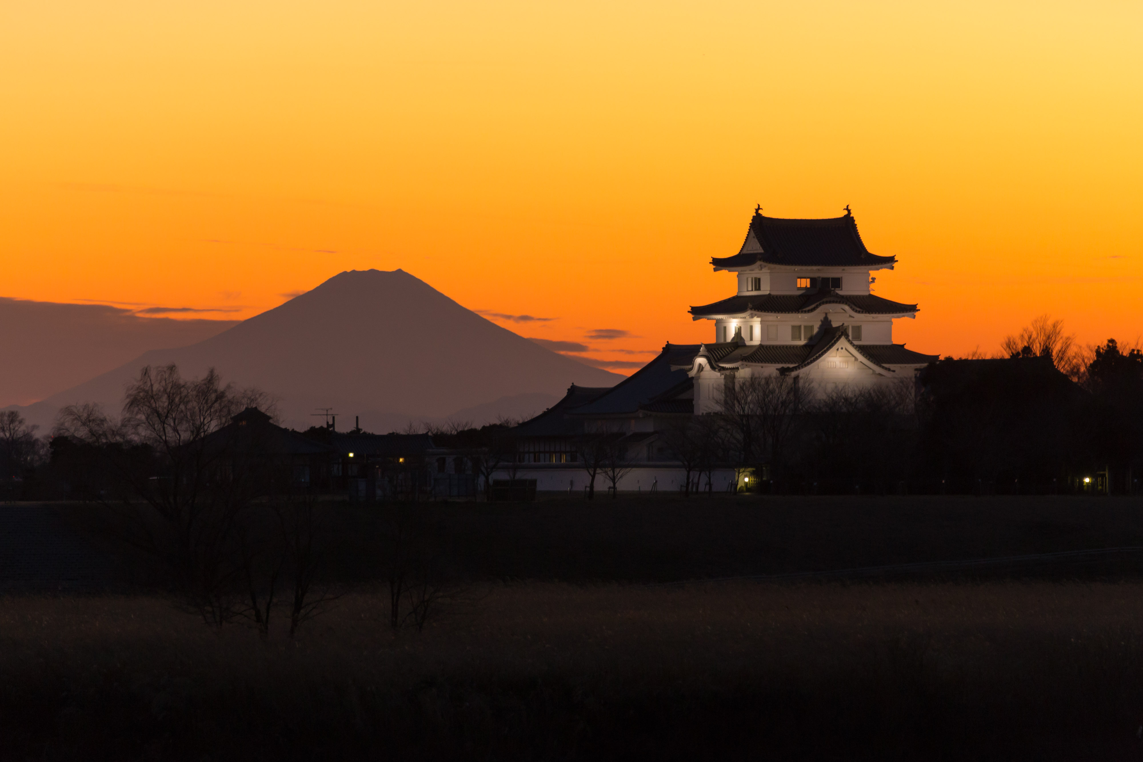
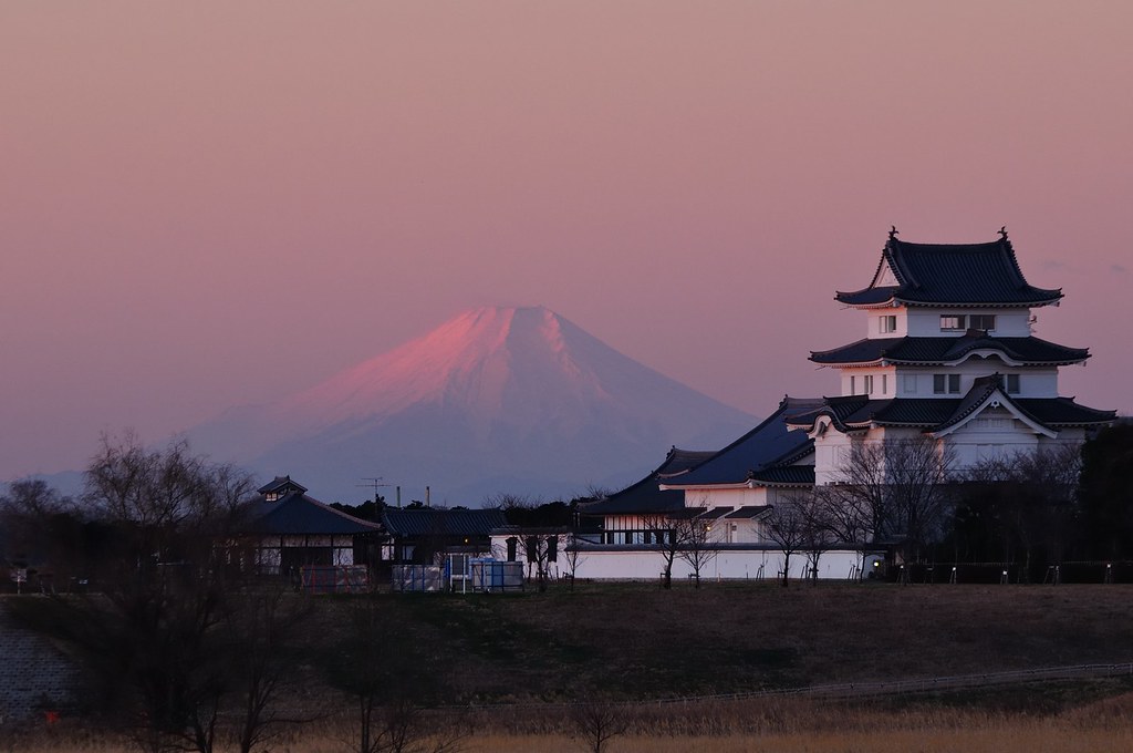
mt.fuji and sekiyado castle
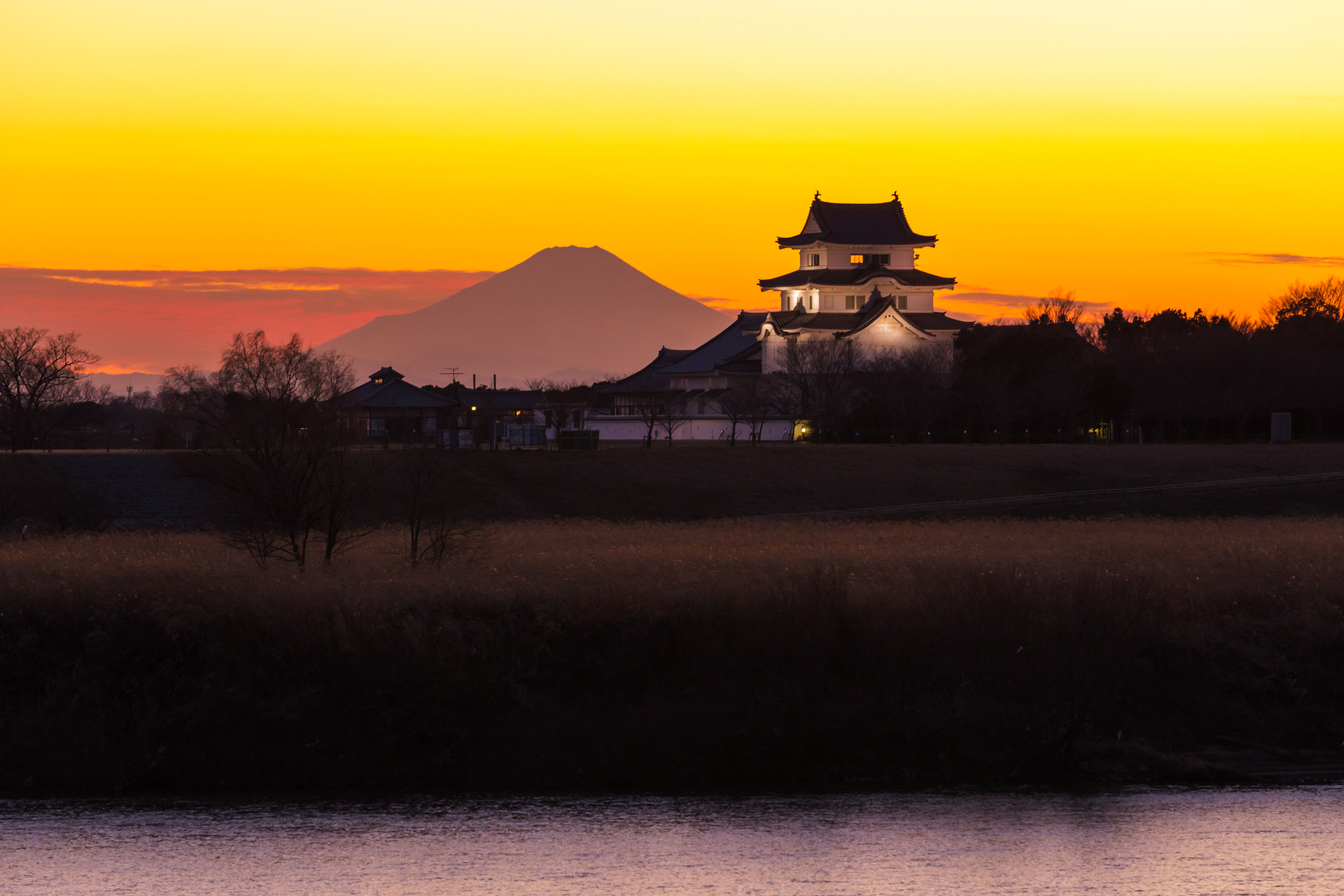
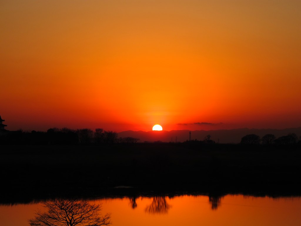
sekiyado castle at dusk

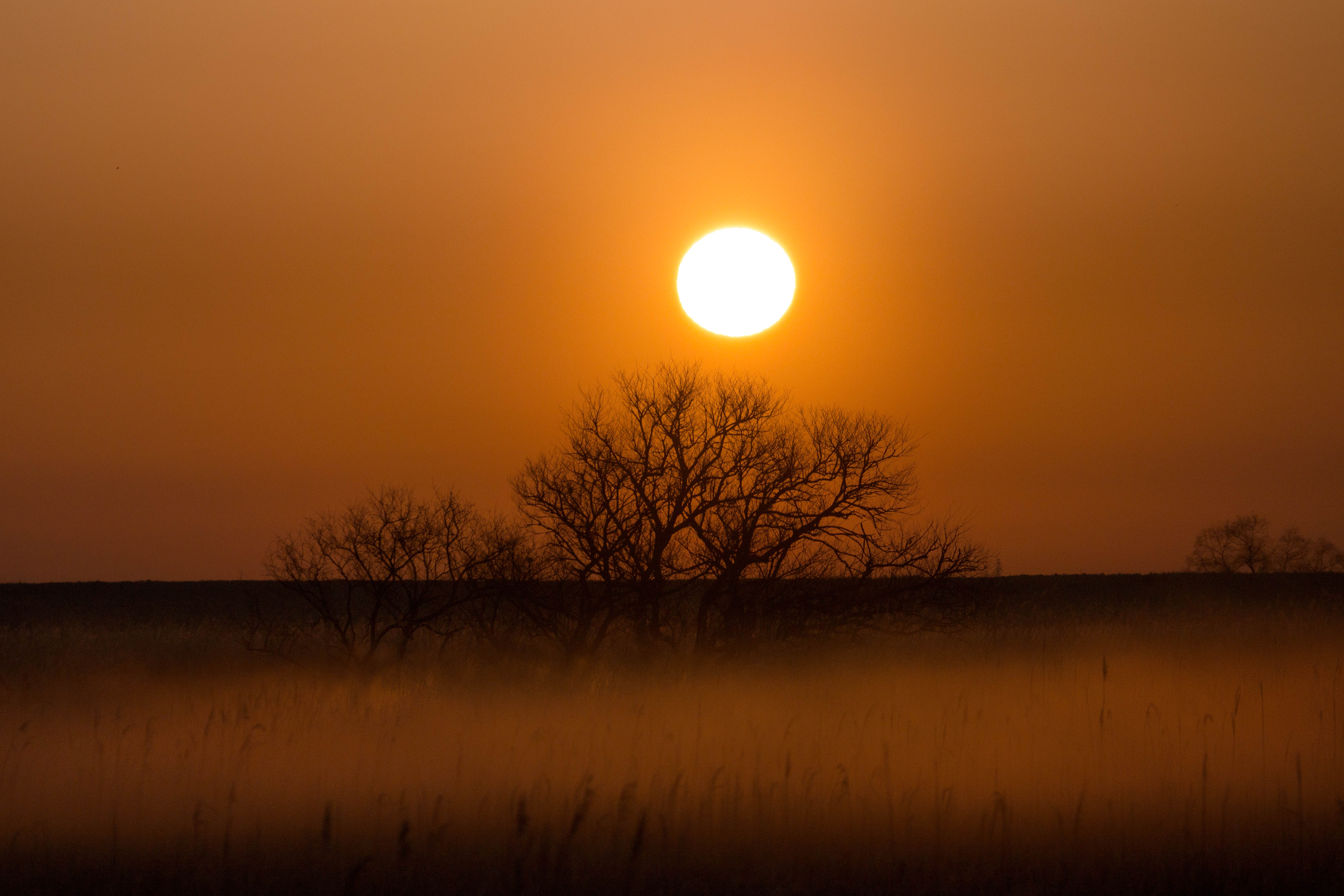
fukushima to soma (86)

Short-eared Owl
サンライズ
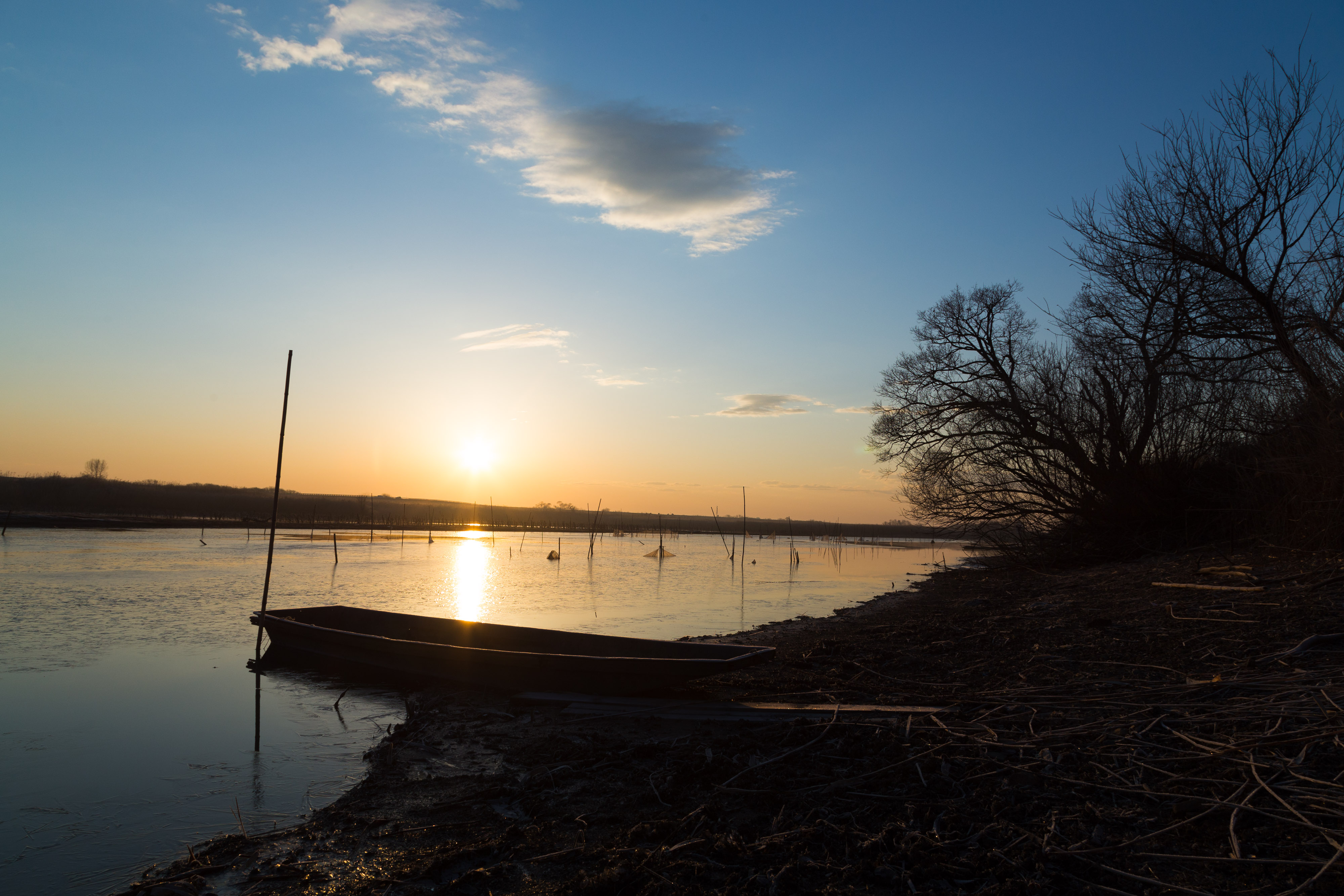
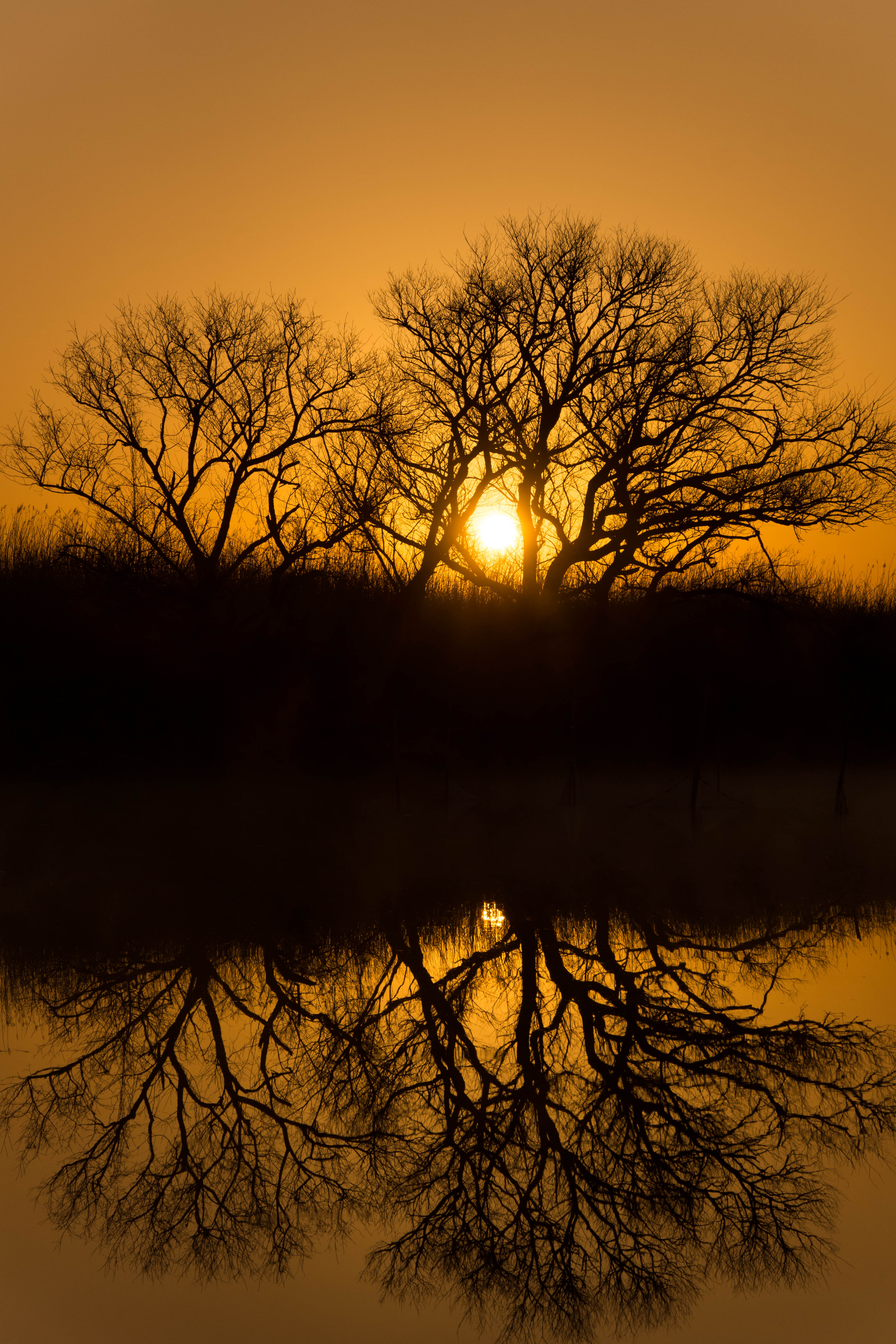
morning at watarase
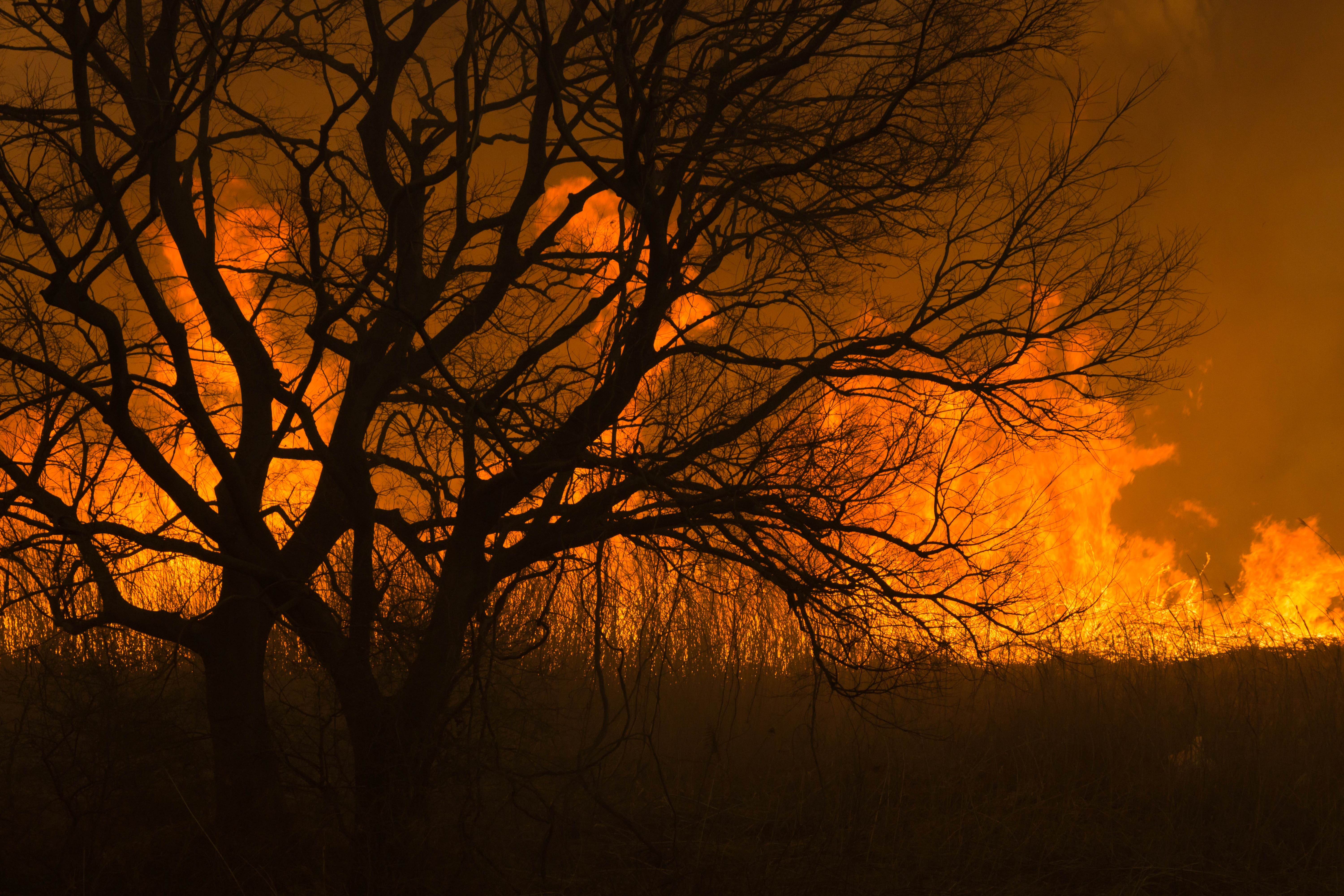
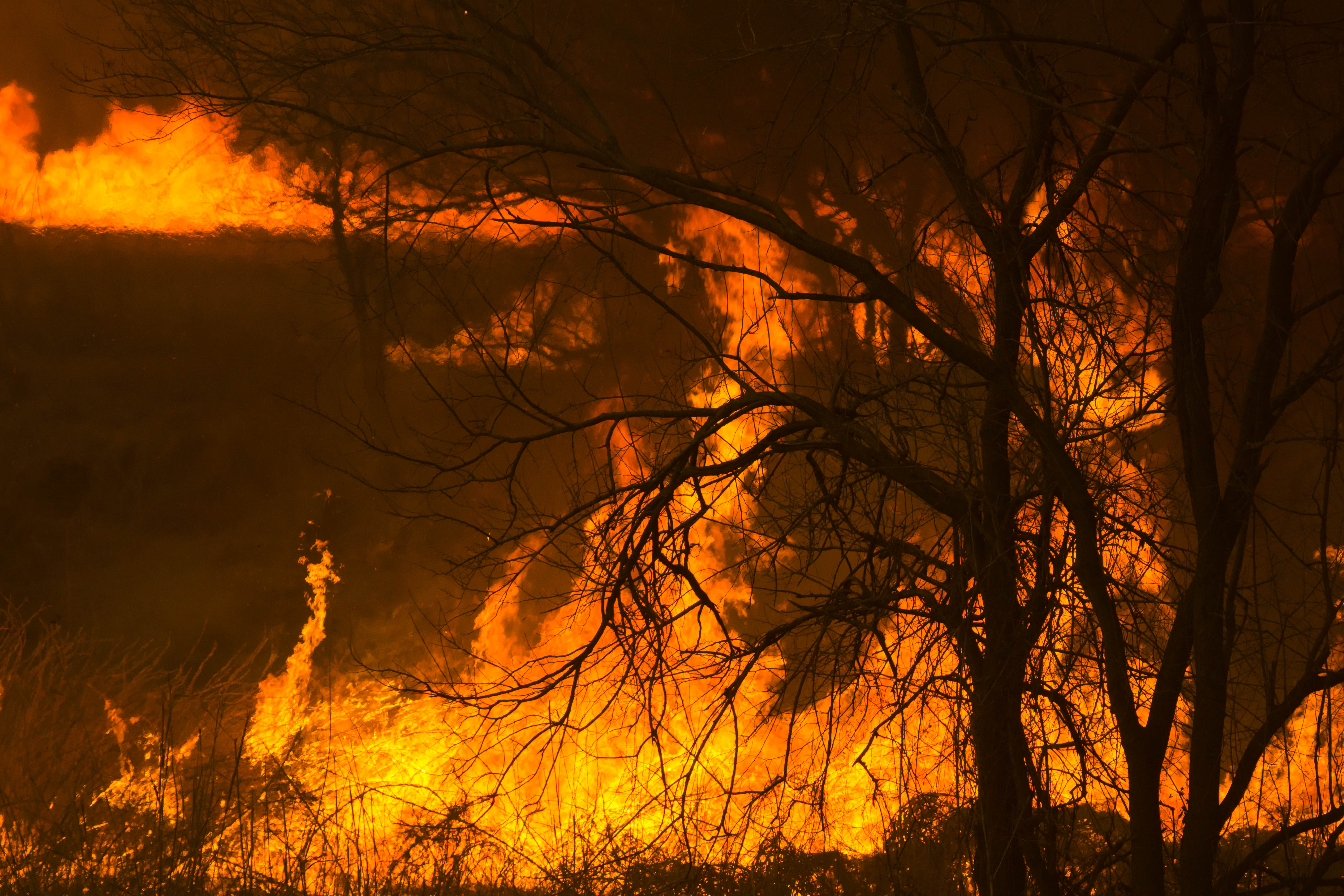
Reed burning in the Watarase anti-flood pond
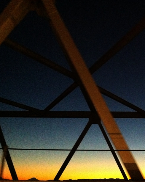
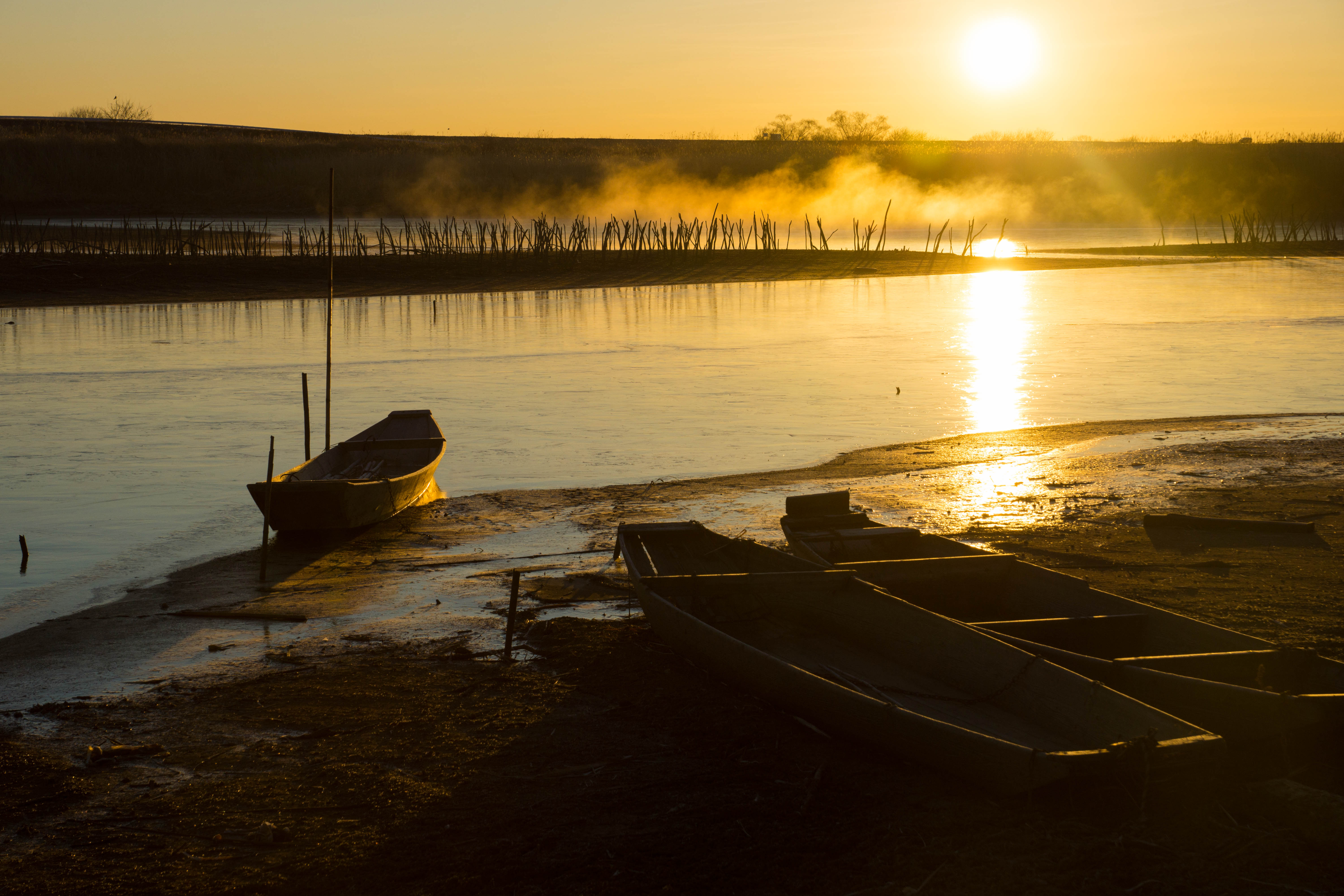
Today's sunset
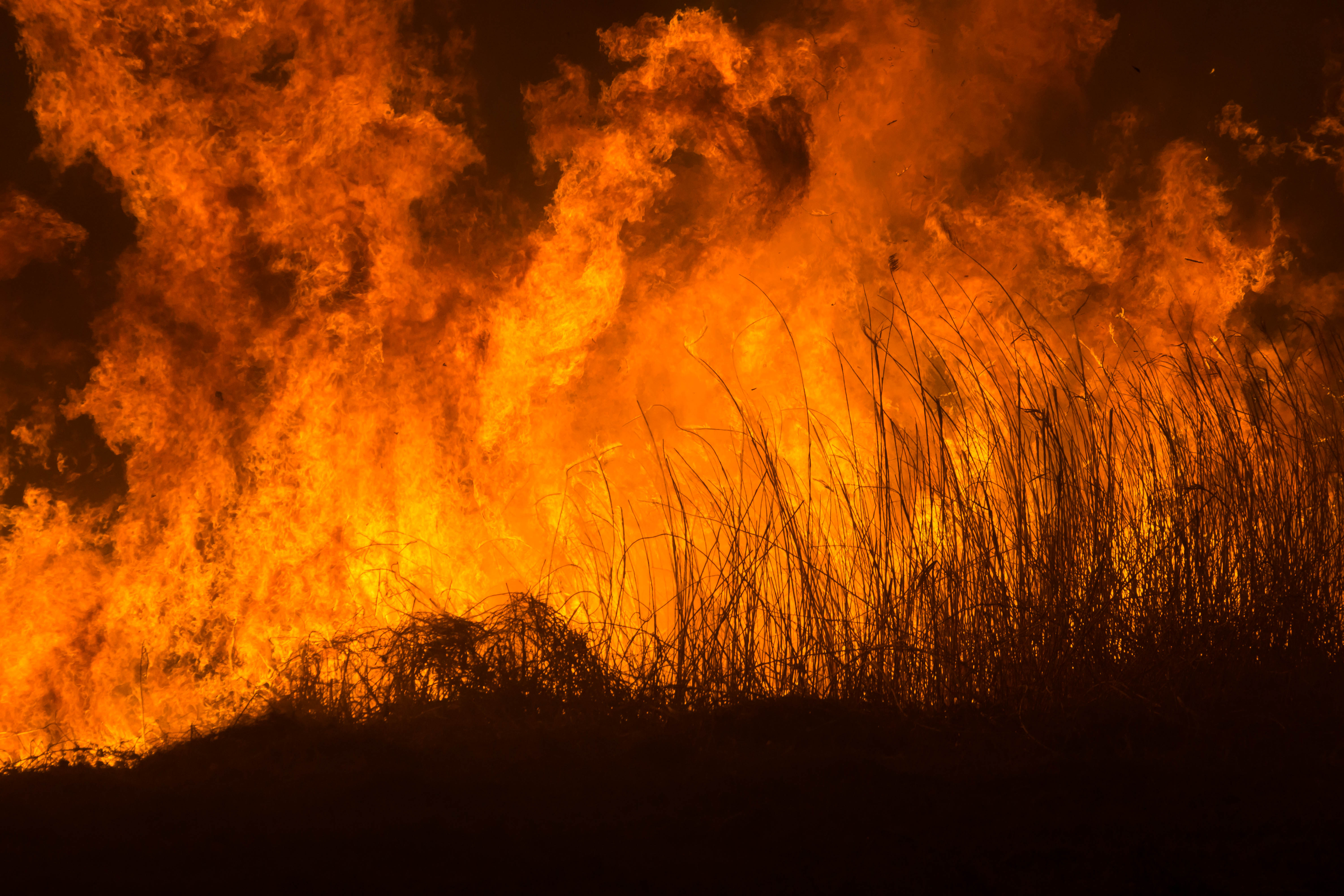
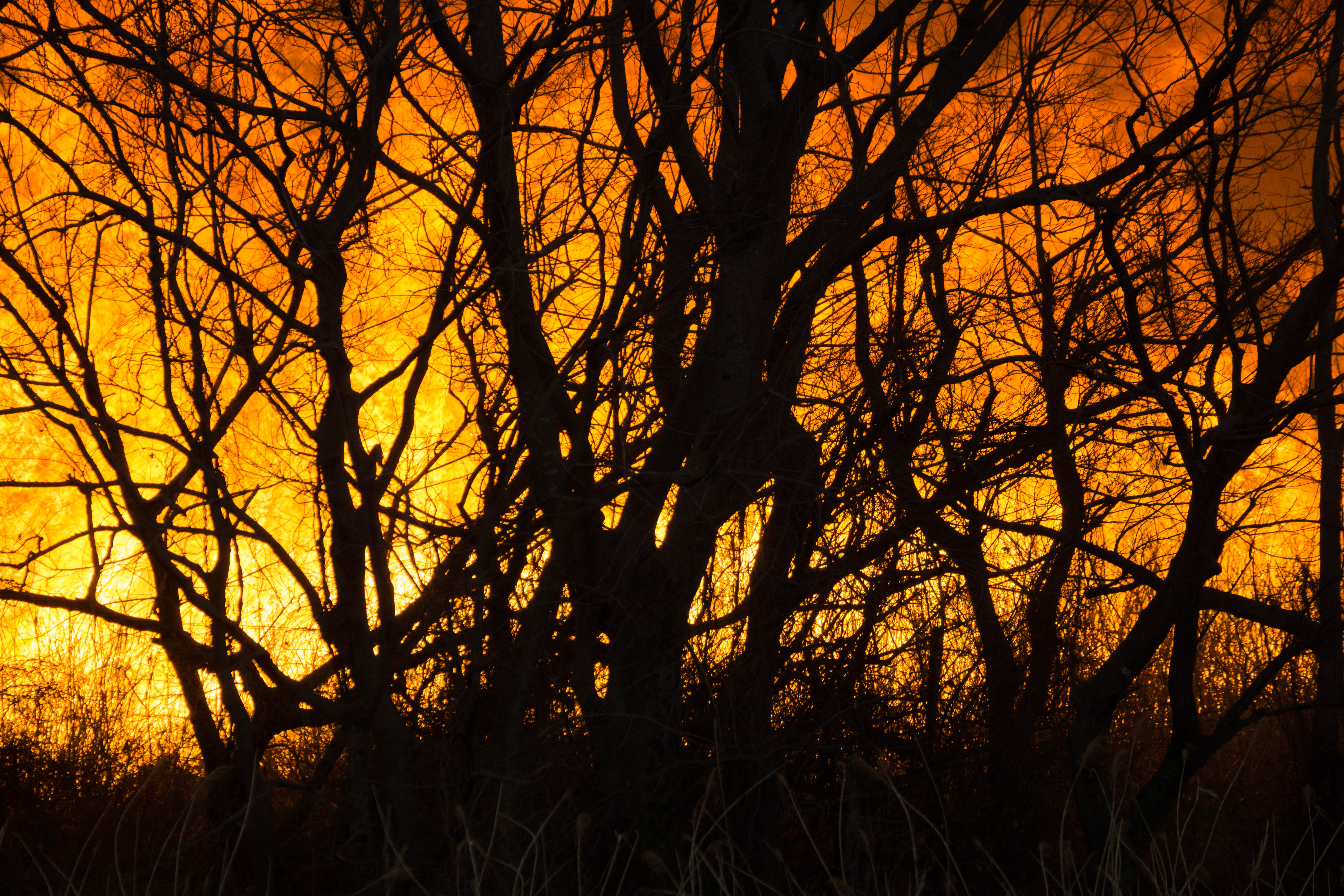
Reed burning in the Watarase anti-flood pond
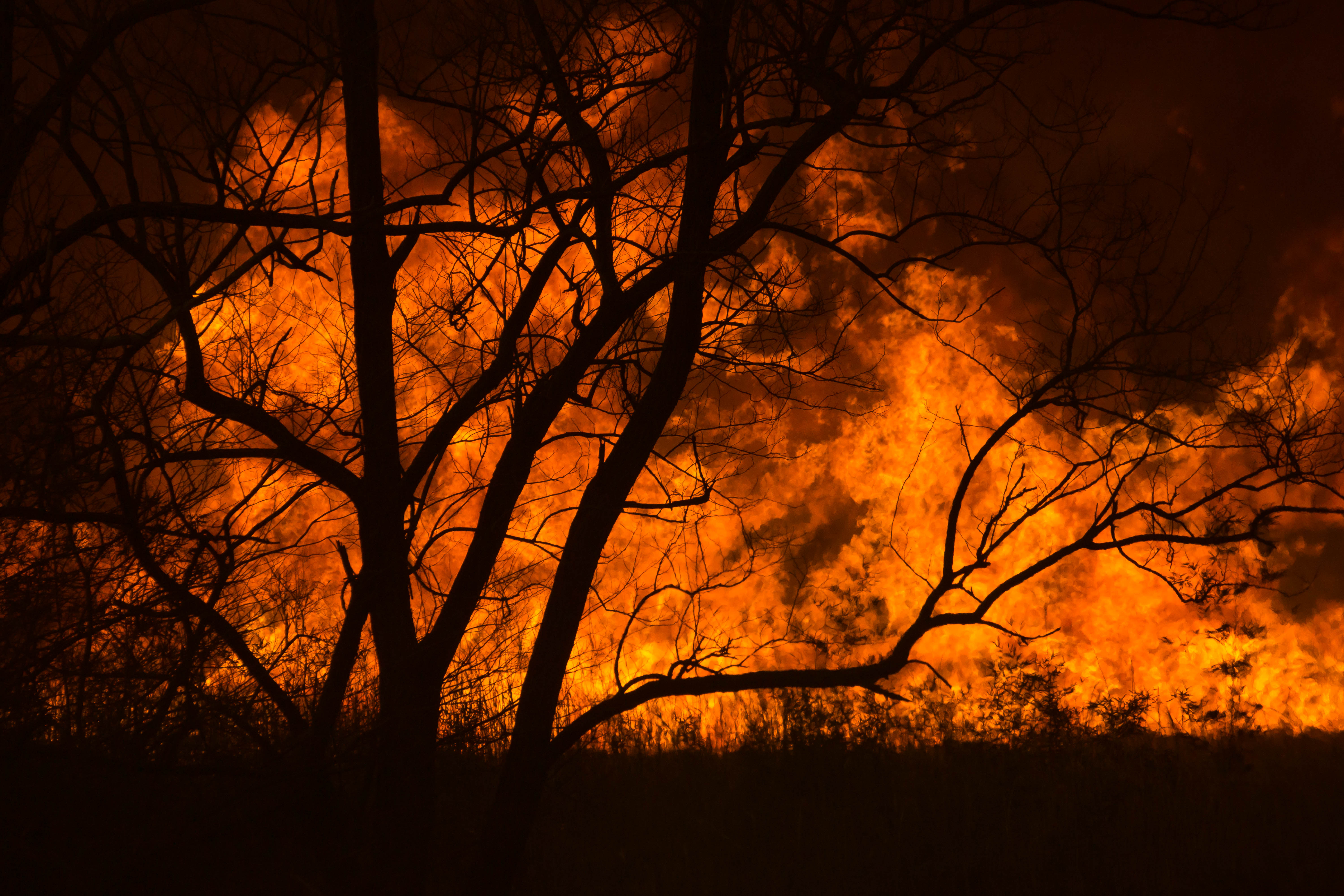
Reed burning in the Watarase anti-flood pond

Reed burning in the Watarase anti-flood pond
DSC06800.jpg
Reed burning in the Watarase anti-flood pond

Reed burning in the Watarase anti-flood pond
DSC06053.jpg
Reed burning in the Watarase anti-flood pond

Sunset Ride
DSC06501.jpg

DSC06726.jpg
関東山地に沈む夕日

Reed burning in the Watarase anti-flood pond

sunrise through reeds
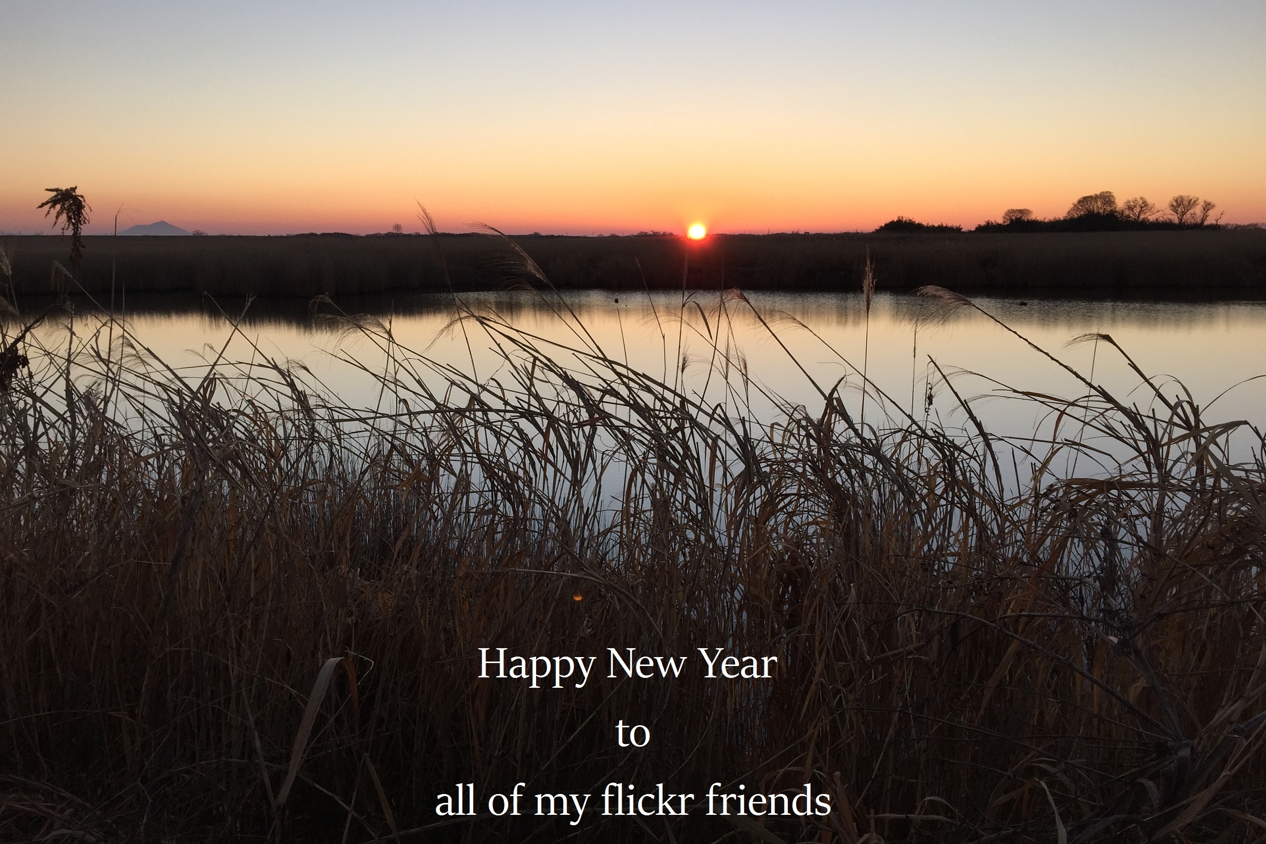
The first sunrise of the year 2016
Distant view of Beni Fuji Dec/28/2013 6:53
Sunrise on the cement apartment blocks
Koga, Ibaraki Prefecture, Japan Map
Search another place
Places in Koga, Ibaraki Prefecture, Japan
Osaki, Koga, Ibaraki Prefecture -, Japan
Raidencho, Koga, Ibaraki -, Japan
Shimohemi, Koga, Ibaraki -, Japan
Near Places
3-chōme-3-58 Yokoyamachō, Koga, Ibaraki -, Japan
Raidencho, Koga, Ibaraki -, Japan
Shimohemi, Koga, Ibaraki -, Japan
下辺見酒場 こんちき, Shimohemi, Koga, Ibaraki -, Japan
Shimohemi, Koga, Ibaraki -, Japan
Hatai, Kazo, Saitama -, Japan
-7 Hatai, Kazo-shi, Saitama-ken -, Japan
-, Japan
1 Chome Kurihashichuo, Kuki, Saitama -, Japan
Yagyū Station, -4 Onofukuro, Kazo, Saitama -, Japan
-11 Yagyū, Kazo-shi, Saitama-ken -, Japan
Yagyu, Kazo, Saitama Prefecture -, Japan
-3 Shimoōno, Koga-shi, Ibaraki-ken -, Japan
1 Chome Midori, Kuki, Saitama -, Japan
Kurihashi, Kuki, Saitama Prefecture -, Japan
Minamikurihashi, Kuki, Saitama -, Japan
Goka, Sashima District, Ibaraki Prefecture, Japan
1 Chome-1-2 Ōkuwa, Kazo-shi, Saitama-ken -, Japan
-9 Kofukuda, Goka-machi, Sashima-gun, Ibaraki-ken -, Japan
-1 Minamishinozaki, Kazo-shi, Saitama-ken -, Japan
Recent Searches
- Sunrise Sunset Times of Red Dog Mine, AK, USA
- Sunrise Sunset Times of Am Bahnhof, Am bhf, Borken, Germany
- Sunrise Sunset Times of 4th St E, Sonoma, CA, USA
- Sunrise Sunset Times of Oakland Ave, Williamsport, PA, USA
- Sunrise Sunset Times of Via Roma, Pieranica CR, Italy
- Sunrise Sunset Times of Clock Tower of Dubrovnik, Grad, Dubrovnik, Croatia
- Sunrise Sunset Times of Trelew, Chubut Province, Argentina
- Sunrise Sunset Times of Hartfords Bluff Cir, Mt Pleasant, SC, USA
- Sunrise Sunset Times of Kita Ward, Kumamoto, Japan
- Sunrise Sunset Times of Pingtan Island, Pingtan County, Fuzhou, China