時間帯:中国標準時
現地時間:2026年11月19日 木曜日 04:12
経度:77.2411446
緯度:38.4170434
今日の日の出時刻:09:37:51
今日の日の入時刻:19:37:42
今日の日長:9時間59分50秒
明日の日の出時刻:09:38:56
明日の日の入時刻:19:37:05
明日の日長:9時間58分8秒

: すべて表示する

日付 日出 日没 日長
2026年1月1日 10:09:17 19:40:51 9時間31分33秒
2026年2月1日 09:58:54 20:12:23 10時間13分28秒
2026年3月1日 09:26:45 20:43:32 11時間16分46秒
2026年4月1日 08:39:28 21:13:31 12時間34分3秒
2026年5月1日 07:57:06 21:41:54 13時間44分47秒
2026年6月1日 07:31:03 22:09:11 14時間38分8秒
2026年7月1日 07:31:21 22:20:09 14時間48分47秒
2026年8月1日 07:52:57 22:04:20 14時間11分22秒
2026年9月1日 08:20:33 21:25:30 13時間4分56秒
2026年10月1日 08:46:35 20:38:15 11時間51分40秒
2026年11月1日 09:16:59 19:54:47 10時間37分48秒
2026年11月19日 09:36:45 19:38:20 10時間1分34秒
2026年11月20日 09:37:51 19:37:42 9時間59分50秒
2026年12月1日 09:49:21 19:32:42 9時間43分21秒

日の出と日の入りの写真

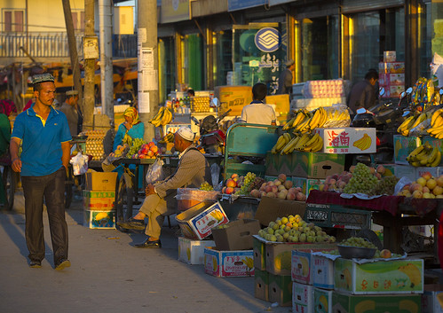
果物売り場、中国新疆ウイグル自治区ヤルカンド by Eric Lafforgue, The Silk Road, or Silk Route is a modern term referring to a historical network of interlinking trad
果物売り場、中国新疆ウイグル自治区ヤルカンド by Eric Lafforgue
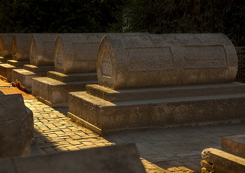
中国新疆ウイグル自治区ヤルカンドのスルタン・サイヤイダン墓 by Eric Lafforgue, The Uyghurs are a very welcoming Muslim Turkic ethnic group living in Eastern and Central Asia. Abou
中国新疆ウイグル自治区ヤルカンドのスルタン・サイヤイダン墓 by Eric Lafforgue
夕暮れ時のレー高原風景 by pallab seth, <a href="https://en.wikipedia.org/wiki/Leh" rel="nofollow">Leh</a> was the capital of the Himalayan
夕暮れ時のレー高原風景 by pallab seth
レー高原風景 by pallab seth, <a href="https://en.wikipedia.org/wiki/Leh" rel="nofollow">Leh</a> was the capital of the Himalayan
レー高原風景 by pallab seth
夕暮れ時のレー高原風景 by pallab seth, <a href="https://en.wikipedia.org/wiki/Leh" rel="nofollow">Leh</a> was the capital of the Himalayan
夕暮れ時のレー高原風景 by pallab seth
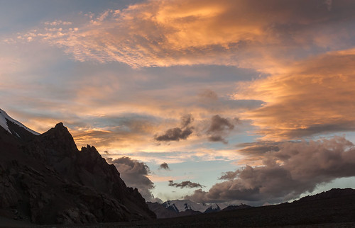
アギルパス夕暮れ by Les Koppe Photography, Looking north-northwest toward a beautiful sunset from our campsite (elevation 4,790 m, 15,715 ft.)
アギルパス夕暮れ by Les Koppe Photography
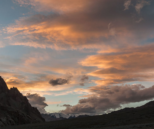
アギルパスでの前奏曲 by Les Koppe Photography, Looking north-northwest toward a beautiful sunset in the making from our campsite (elevation 4,790 m
アギルパスでの前奏曲 by Les Koppe Photography
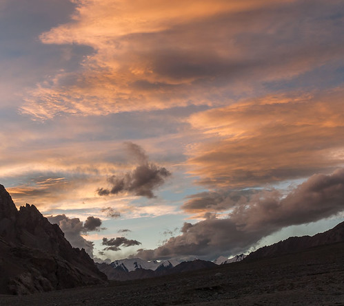
アギル山々の夕暮れ by Les Koppe Photography, Looking north-northwest toward a beautiful sunset from our campsite (elevation 4,790 m, 15,715 ft.)
アギル山々の夕暮れ by Les Koppe Photography
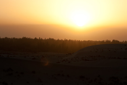
砂漠の草の夕暮れ by niklausberger, china sand desert xinjiang taklamakan yarkand shache tarimbasin yarken
砂漠の草の夕暮れ by niklausberger
アギルパスの夕暮れ by Les Koppe Photography, Looking north-northwest toward a beautiful sunset from our campsite (elevation 4,790 m, 15,715 ft.)
アギルパスの夕暮れ by Les Koppe Photography
アギルパスの最終光 by Les Koppe Photography, Looking north-northwest toward a fading sunset from our campsite (elevation 4,790 m, 15,715 ft.) at
アギルパスの最終光 by Les Koppe Photography
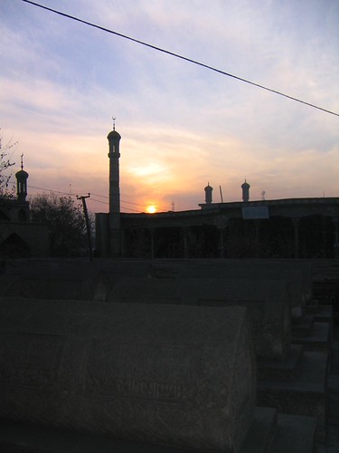
中国新疆ウイグル自治区ヤルカンド by rachelnchrisnchina, Sunset over the minarets of Yarkandchina xinjiang yarkand
中国新疆ウイグル自治区ヤルカンド by rachelnchrisnchina
夕暮れ - 幾何学的 by niklausberger, china sand desert dune xinjiang taklamakan yarkand shache tarimbasin yarken
夕暮れ - 幾何学的 by niklausberger
砂漠の端の夕暮れ by niklausberger, china sand desert xinjiang taklamakan yarkand shache tarimbasin yarken
砂漠の端の夕暮れ by niklausberger