アメリカ合衆国 インディアナ州 ウォータールー日の出日の入り時間
Location: アメリカ合衆国 > インディアナ州 > ファイエット >
時間帯:
America/New_York
現地時間:
2025-07-02 16:47:51
経度:
-85.0856761
緯度:
39.6924206
今日の日の出時刻:
06:17:37 AM
今日の日の入時刻:
09:11:51 PM
今日の日長:
14h 54m 14s
明日の日の出時刻:
06:18:11 AM
明日の日の入時刻:
09:11:38 PM
明日の日長:
14h 53m 27s
すべて表示する
| 日付 | 日出 | 日没 | 日長 |
|---|---|---|---|
| 2025年01月01日 | 08:01:18 AM | 05:27:37 PM | 9h 26m 19s |
| 2025年01月02日 | 08:01:22 AM | 05:28:29 PM | 9h 27m 7s |
| 2025年01月03日 | 08:01:23 AM | 05:29:22 PM | 9h 27m 59s |
| 2025年01月04日 | 08:01:22 AM | 05:30:16 PM | 9h 28m 54s |
| 2025年01月05日 | 08:01:19 AM | 05:31:12 PM | 9h 29m 53s |
| 2025年01月06日 | 08:01:14 AM | 05:32:09 PM | 9h 30m 55s |
| 2025年01月07日 | 08:01:07 AM | 05:33:07 PM | 9h 32m 0s |
| 2025年01月08日 | 08:00:57 AM | 05:34:06 PM | 9h 33m 9s |
| 2025年01月09日 | 08:00:46 AM | 05:35:07 PM | 9h 34m 21s |
| 2025年01月10日 | 08:00:32 AM | 05:36:08 PM | 9h 35m 36s |
| 2025年01月11日 | 08:00:16 AM | 05:37:10 PM | 9h 36m 54s |
| 2025年01月12日 | 07:59:57 AM | 05:38:14 PM | 9h 38m 17s |
| 2025年01月13日 | 07:59:37 AM | 05:39:18 PM | 9h 39m 41s |
| 2025年01月14日 | 07:59:15 AM | 05:40:23 PM | 9h 41m 8s |
| 2025年01月15日 | 07:58:50 AM | 05:41:28 PM | 9h 42m 38s |
| 2025年01月16日 | 07:58:23 AM | 05:42:35 PM | 9h 44m 12s |
| 2025年01月17日 | 07:57:54 AM | 05:43:42 PM | 9h 45m 48s |
| 2025年01月18日 | 07:57:24 AM | 05:44:49 PM | 9h 47m 25s |
| 2025年01月19日 | 07:56:51 AM | 05:45:58 PM | 9h 49m 7s |
| 2025年01月20日 | 07:56:16 AM | 05:47:06 PM | 9h 50m 50s |
| 2025年01月21日 | 07:55:39 AM | 05:48:16 PM | 9h 52m 37s |
| 2025年01月22日 | 07:55:00 AM | 05:49:25 PM | 9h 54m 25s |
| 2025年01月23日 | 07:54:19 AM | 05:50:35 PM | 9h 56m 16s |
| 2025年01月24日 | 07:53:36 AM | 05:51:45 PM | 9h 58m 9s |
| 2025年01月25日 | 07:52:52 AM | 05:52:56 PM | 10h 0m 4s |
| 2025年01月26日 | 07:52:05 AM | 05:54:07 PM | 10h 2m 2s |
| 2025年01月27日 | 07:51:17 AM | 05:55:18 PM | 10h 4m 1s |
| 2025年01月28日 | 07:50:27 AM | 05:56:29 PM | 10h 6m 2s |
| 2025年01月29日 | 07:49:35 AM | 05:57:40 PM | 10h 8m 5s |
| 2025年01月30日 | 07:48:42 AM | 05:58:52 PM | 10h 10m 10s |
| 2025年01月31日 | 07:47:47 AM | 06:00:03 PM | 10h 12m 16s |
| 2025年02月01日 | 07:46:50 AM | 06:01:15 PM | 10h 14m 25s |
| 2025年02月02日 | 07:45:51 AM | 06:02:26 PM | 10h 16m 35s |
| 2025年02月03日 | 07:44:51 AM | 06:03:38 PM | 10h 18m 47s |
| 2025年02月04日 | 07:43:49 AM | 06:04:49 PM | 10h 21m 0s |
| 2025年02月05日 | 07:42:46 AM | 06:06:00 PM | 10h 23m 14s |
| 2025年02月06日 | 07:41:42 AM | 06:07:12 PM | 10h 25m 30s |
| 2025年02月07日 | 07:40:35 AM | 06:08:23 PM | 10h 27m 48s |
| 2025年02月08日 | 07:39:28 AM | 06:09:34 PM | 10h 30m 6s |
| 2025年02月09日 | 07:38:19 AM | 06:10:44 PM | 10h 32m 25s |
| 2025年02月10日 | 07:37:09 AM | 06:11:55 PM | 10h 34m 46s |
| 2025年02月11日 | 07:35:57 AM | 06:13:05 PM | 10h 37m 8s |
| 2025年02月12日 | 07:34:44 AM | 06:14:16 PM | 10h 39m 32s |
| 2025年02月13日 | 07:33:30 AM | 06:15:26 PM | 10h 41m 56s |
| 2025年02月14日 | 07:32:15 AM | 06:16:35 PM | 10h 44m 20s |
| 2025年02月15日 | 07:30:58 AM | 06:17:45 PM | 10h 46m 47s |
| 2025年02月16日 | 07:29:40 AM | 06:18:54 PM | 10h 49m 14s |
| 2025年02月17日 | 07:28:22 AM | 06:20:03 PM | 10h 51m 41s |
| 2025年02月18日 | 07:27:02 AM | 06:21:11 PM | 10h 54m 9s |
| 2025年02月19日 | 07:25:41 AM | 06:22:19 PM | 10h 56m 38s |
| 2025年02月20日 | 07:24:19 AM | 06:23:27 PM | 10h 59m 8s |
| 2025年02月21日 | 07:22:56 AM | 06:24:35 PM | 11h 1m 39s |
| 2025年02月22日 | 07:21:33 AM | 06:25:43 PM | 11h 4m 10s |
| 2025年02月23日 | 07:20:08 AM | 06:26:50 PM | 11h 6m 42s |
| 2025年02月24日 | 07:18:42 AM | 06:27:56 PM | 11h 9m 14s |
| 2025年02月25日 | 07:17:16 AM | 06:29:03 PM | 11h 11m 47s |
| 2025年02月26日 | 07:15:49 AM | 06:30:09 PM | 11h 14m 20s |
| 2025年02月27日 | 07:14:21 AM | 06:31:15 PM | 11h 16m 54s |
| 2025年02月28日 | 07:12:52 AM | 06:32:20 PM | 11h 19m 28s |
| 2025年03月01日 | 07:11:23 AM | 06:33:26 PM | 11h 22m 3s |
| 2025年03月02日 | 07:09:53 AM | 06:34:31 PM | 11h 24m 38s |
| 2025年03月03日 | 07:08:22 AM | 06:35:35 PM | 11h 27m 13s |
| 2025年03月04日 | 07:06:51 AM | 06:36:40 PM | 11h 29m 49s |
| 2025年03月05日 | 07:05:19 AM | 06:37:44 PM | 11h 32m 25s |
| 2025年03月06日 | 07:03:47 AM | 06:38:47 PM | 11h 35m 0s |
| 2025年03月07日 | 07:02:14 AM | 06:39:51 PM | 11h 37m 37s |
| 2025年03月08日 | 07:00:41 AM | 06:40:54 PM | 11h 40m 13s |
| 2025年03月09日 | 07:59:11 AM | 07:41:55 PM | 11h 42m 44s |
| 2025年03月10日 | 07:57:37 AM | 07:42:58 PM | 11h 45m 21s |
| 2025年03月11日 | 07:56:02 AM | 07:44:00 PM | 11h 47m 58s |
| 2025年03月12日 | 07:54:27 AM | 07:45:02 PM | 11h 50m 35s |
| 2025年03月13日 | 07:52:52 AM | 07:46:05 PM | 11h 53m 13s |
| 2025年03月14日 | 07:51:17 AM | 07:47:07 PM | 11h 55m 50s |
| 2025年03月15日 | 07:49:41 AM | 07:48:08 PM | 11h 58m 27s |
| 2025年03月16日 | 07:48:05 AM | 07:49:10 PM | 12h 1m 5s |
| 2025年03月17日 | 07:46:29 AM | 07:50:11 PM | 12h 3m 42s |
| 2025年03月18日 | 07:44:53 AM | 07:51:12 PM | 12h 6m 19s |
| 2025年03月19日 | 07:43:16 AM | 07:52:13 PM | 12h 8m 57s |
| 2025年03月20日 | 07:41:40 AM | 07:53:14 PM | 12h 11m 34s |
| 2025年03月21日 | 07:40:03 AM | 07:54:15 PM | 12h 14m 12s |
| 2025年03月22日 | 07:38:27 AM | 07:55:16 PM | 12h 16m 49s |
| 2025年03月23日 | 07:36:50 AM | 07:56:16 PM | 12h 19m 26s |
| 2025年03月24日 | 07:35:13 AM | 07:57:17 PM | 12h 22m 4s |
| 2025年03月25日 | 07:33:37 AM | 07:58:17 PM | 12h 24m 40s |
| 2025年03月26日 | 07:32:00 AM | 07:59:17 PM | 12h 27m 17s |
| 2025年03月27日 | 07:30:24 AM | 08:00:17 PM | 12h 29m 53s |
| 2025年03月28日 | 07:28:48 AM | 08:01:17 PM | 12h 32m 29s |
| 2025年03月29日 | 07:27:12 AM | 08:02:18 PM | 12h 35m 6s |
| 2025年03月30日 | 07:25:36 AM | 08:03:18 PM | 12h 37m 42s |
| 2025年03月31日 | 07:24:00 AM | 08:04:17 PM | 12h 40m 17s |
| 2025年04月01日 | 07:22:25 AM | 08:05:17 PM | 12h 42m 52s |
| 2025年04月02日 | 07:20:50 AM | 08:06:17 PM | 12h 45m 27s |
| 2025年04月03日 | 07:19:15 AM | 08:07:17 PM | 12h 48m 2s |
| 2025年04月04日 | 07:17:41 AM | 08:08:17 PM | 12h 50m 36s |
| 2025年04月05日 | 07:16:07 AM | 08:09:17 PM | 12h 53m 10s |
| 2025年04月06日 | 07:14:33 AM | 08:10:17 PM | 12h 55m 44s |
| 2025年04月07日 | 07:13:00 AM | 08:11:17 PM | 12h 58m 17s |
| 2025年04月08日 | 07:11:28 AM | 08:12:17 PM | 13h 0m 49s |
| 2025年04月09日 | 07:09:56 AM | 08:13:17 PM | 13h 3m 21s |
| 2025年04月10日 | 07:08:24 AM | 08:14:17 PM | 13h 5m 53s |
| 2025年04月11日 | 07:06:53 AM | 08:15:16 PM | 13h 8m 23s |
| 2025年04月12日 | 07:05:23 AM | 08:16:16 PM | 13h 10m 53s |
| 2025年04月13日 | 07:03:53 AM | 08:17:16 PM | 13h 13m 23s |
| 2025年04月14日 | 07:02:24 AM | 08:18:17 PM | 13h 15m 53s |
| 2025年04月15日 | 07:00:55 AM | 08:19:17 PM | 13h 18m 22s |
| 2025年04月16日 | 06:59:27 AM | 08:20:17 PM | 13h 20m 50s |
| 2025年04月17日 | 06:58:00 AM | 08:21:17 PM | 13h 23m 17s |
| 2025年04月18日 | 06:56:34 AM | 08:22:17 PM | 13h 25m 43s |
| 2025年04月19日 | 06:55:09 AM | 08:23:17 PM | 13h 28m 8s |
| 2025年04月20日 | 06:53:44 AM | 08:24:17 PM | 13h 30m 33s |
| 2025年04月21日 | 06:52:21 AM | 08:25:17 PM | 13h 32m 56s |
| 2025年04月22日 | 06:50:58 AM | 08:26:18 PM | 13h 35m 20s |
| 2025年04月23日 | 06:49:36 AM | 08:27:18 PM | 13h 37m 42s |
| 2025年04月24日 | 06:48:15 AM | 08:28:18 PM | 13h 40m 3s |
| 2025年04月25日 | 06:46:56 AM | 08:29:18 PM | 13h 42m 22s |
| 2025年04月26日 | 06:45:37 AM | 08:30:18 PM | 13h 44m 41s |
| 2025年04月27日 | 06:44:19 AM | 08:31:18 PM | 13h 46m 59s |
| 2025年04月28日 | 06:43:03 AM | 08:32:18 PM | 13h 49m 15s |
| 2025年04月29日 | 06:41:47 AM | 08:33:18 PM | 13h 51m 31s |
| 2025年04月30日 | 06:40:33 AM | 08:34:18 PM | 13h 53m 45s |
| 2025年05月01日 | 06:39:20 AM | 08:35:17 PM | 13h 55m 57s |
| 2025年05月02日 | 06:38:08 AM | 08:36:17 PM | 13h 58m 9s |
| 2025年05月03日 | 06:36:57 AM | 08:37:16 PM | 14h 0m 19s |
| 2025年05月04日 | 06:35:48 AM | 08:38:16 PM | 14h 2m 28s |
| 2025年05月05日 | 06:34:40 AM | 08:39:15 PM | 14h 4m 35s |
| 2025年05月06日 | 06:33:33 AM | 08:40:14 PM | 14h 6m 41s |
| 2025年05月07日 | 06:32:28 AM | 08:41:12 PM | 14h 8m 44s |
| 2025年05月08日 | 06:31:24 AM | 08:42:10 PM | 14h 10m 46s |
| 2025年05月09日 | 06:30:21 AM | 08:43:08 PM | 14h 12m 47s |
| 2025年05月10日 | 06:29:20 AM | 08:44:06 PM | 14h 14m 46s |
| 2025年05月11日 | 06:28:20 AM | 08:45:04 PM | 14h 16m 44s |
| 2025年05月12日 | 06:27:22 AM | 08:46:01 PM | 14h 18m 39s |
| 2025年05月13日 | 06:26:26 AM | 08:46:57 PM | 14h 20m 31s |
| 2025年05月14日 | 06:25:31 AM | 08:47:53 PM | 14h 22m 22s |
| 2025年05月15日 | 06:24:38 AM | 08:48:49 PM | 14h 24m 11s |
| 2025年05月16日 | 06:23:46 AM | 08:49:44 PM | 14h 25m 58s |
| 2025年05月17日 | 06:22:56 AM | 08:50:39 PM | 14h 27m 43s |
| 2025年05月18日 | 06:22:07 AM | 08:51:33 PM | 14h 29m 26s |
| 2025年05月19日 | 06:21:21 AM | 08:52:27 PM | 14h 31m 6s |
| 2025年05月20日 | 06:20:36 AM | 08:53:19 PM | 14h 32m 43s |
| 2025年05月21日 | 06:19:52 AM | 08:54:12 PM | 14h 34m 20s |
| 2025年05月22日 | 06:19:11 AM | 08:55:03 PM | 14h 35m 52s |
| 2025年05月23日 | 06:18:31 AM | 08:55:54 PM | 14h 37m 23s |
| 2025年05月24日 | 06:17:53 AM | 08:56:44 PM | 14h 38m 51s |
| 2025年05月25日 | 06:17:17 AM | 08:57:33 PM | 14h 40m 16s |
| 2025年05月26日 | 06:16:43 AM | 08:58:21 PM | 14h 41m 38s |
| 2025年05月27日 | 06:16:10 AM | 08:59:08 PM | 14h 42m 58s |
| 2025年05月28日 | 06:15:40 AM | 08:59:54 PM | 14h 44m 14s |
| 2025年05月29日 | 06:15:11 AM | 09:00:40 PM | 14h 45m 29s |
| 2025年05月30日 | 06:14:44 AM | 09:01:24 PM | 14h 46m 40s |
| 2025年05月31日 | 06:14:19 AM | 09:02:07 PM | 14h 47m 48s |
| 2025年06月01日 | 06:13:56 AM | 09:02:49 PM | 14h 48m 53s |
| 2025年06月02日 | 06:13:35 AM | 09:03:30 PM | 14h 49m 55s |
| 2025年06月03日 | 06:13:16 AM | 09:04:10 PM | 14h 50m 54s |
| 2025年06月04日 | 06:12:59 AM | 09:04:48 PM | 14h 51m 49s |
| 2025年06月05日 | 06:12:43 AM | 09:05:25 PM | 14h 52m 42s |
| 2025年06月06日 | 06:12:30 AM | 09:06:01 PM | 14h 53m 31s |
| 2025年06月07日 | 06:12:19 AM | 09:06:36 PM | 14h 54m 17s |
| 2025年06月08日 | 06:12:09 AM | 09:07:09 PM | 14h 55m 0s |
| 2025年06月09日 | 06:12:01 AM | 09:07:40 PM | 14h 55m 39s |
| 2025年06月10日 | 06:11:56 AM | 09:08:10 PM | 14h 56m 14s |
| 2025年06月11日 | 06:11:52 AM | 09:08:39 PM | 14h 56m 47s |
| 2025年06月12日 | 06:11:50 AM | 09:09:06 PM | 14h 57m 16s |
| 2025年06月13日 | 06:11:50 AM | 09:09:31 PM | 14h 57m 41s |
| 2025年06月14日 | 06:11:52 AM | 09:09:55 PM | 14h 58m 3s |
| 2025年06月15日 | 06:11:55 AM | 09:10:17 PM | 14h 58m 22s |
| 2025年06月16日 | 06:12:01 AM | 09:10:38 PM | 14h 58m 37s |
| 2025年06月17日 | 06:12:08 AM | 09:10:56 PM | 14h 58m 48s |
| 2025年06月18日 | 06:12:18 AM | 09:11:13 PM | 14h 58m 55s |
| 2025年06月19日 | 06:12:28 AM | 09:11:28 PM | 14h 59m 0s |
| 2025年06月20日 | 06:12:41 AM | 09:11:42 PM | 14h 59m 1s |
| 2025年06月21日 | 06:12:56 AM | 09:11:53 PM | 14h 58m 57s |
| 2025年06月22日 | 06:13:12 AM | 09:12:03 PM | 14h 58m 51s |
| 2025年06月23日 | 06:13:30 AM | 09:12:11 PM | 14h 58m 41s |
| 2025年06月24日 | 06:13:49 AM | 09:12:17 PM | 14h 58m 28s |
| 2025年06月25日 | 06:14:10 AM | 09:12:21 PM | 14h 58m 11s |
| 2025年06月26日 | 06:14:33 AM | 09:12:23 PM | 14h 57m 50s |
| 2025年06月27日 | 06:14:57 AM | 09:12:24 PM | 14h 57m 27s |
| 2025年06月28日 | 06:15:23 AM | 09:12:22 PM | 14h 56m 59s |
| 2025年06月29日 | 06:15:51 AM | 09:12:19 PM | 14h 56m 28s |
| 2025年06月30日 | 06:16:19 AM | 09:12:13 PM | 14h 55m 54s |
| 2025年07月01日 | 06:16:50 AM | 09:12:06 PM | 14h 55m 16s |
| 2025年07月02日 | 06:17:21 AM | 09:11:56 PM | 14h 54m 35s |
| 2025年07月03日 | 06:17:54 AM | 09:11:45 PM | 14h 53m 51s |
| 2025年07月04日 | 06:18:28 AM | 09:11:31 PM | 14h 53m 3s |
| 2025年07月05日 | 06:19:04 AM | 09:11:16 PM | 14h 52m 12s |
| 2025年07月06日 | 06:19:41 AM | 09:10:59 PM | 14h 51m 18s |
| 2025年07月07日 | 06:20:19 AM | 09:10:39 PM | 14h 50m 20s |
| 2025年07月08日 | 06:20:58 AM | 09:10:18 PM | 14h 49m 20s |
| 2025年07月09日 | 06:21:38 AM | 09:09:55 PM | 14h 48m 17s |
| 2025年07月10日 | 06:22:19 AM | 09:09:30 PM | 14h 47m 11s |
| 2025年07月11日 | 06:23:01 AM | 09:09:03 PM | 14h 46m 2s |
| 2025年07月12日 | 06:23:45 AM | 09:08:34 PM | 14h 44m 49s |
| 2025年07月13日 | 06:24:29 AM | 09:08:03 PM | 14h 43m 34s |
| 2025年07月14日 | 06:25:14 AM | 09:07:30 PM | 14h 42m 16s |
| 2025年07月15日 | 06:26:00 AM | 09:06:55 PM | 14h 40m 55s |
| 2025年07月16日 | 06:26:47 AM | 09:06:19 PM | 14h 39m 32s |
| 2025年07月17日 | 06:27:34 AM | 09:05:40 PM | 14h 38m 6s |
| 2025年07月18日 | 06:28:23 AM | 09:05:00 PM | 14h 36m 37s |
| 2025年07月19日 | 06:29:12 AM | 09:04:18 PM | 14h 35m 6s |
| 2025年07月20日 | 06:30:01 AM | 09:03:34 PM | 14h 33m 33s |
| 2025年07月21日 | 06:30:52 AM | 09:02:49 PM | 14h 31m 57s |
| 2025年07月22日 | 06:31:43 AM | 09:02:01 PM | 14h 30m 18s |
| 2025年07月23日 | 06:32:34 AM | 09:01:12 PM | 14h 28m 38s |
| 2025年07月24日 | 06:33:26 AM | 09:00:21 PM | 14h 26m 55s |
| 2025年07月25日 | 06:34:18 AM | 08:59:29 PM | 14h 25m 11s |
| 2025年07月26日 | 06:35:11 AM | 08:58:35 PM | 14h 23m 24s |
| 2025年07月27日 | 06:36:05 AM | 08:57:39 PM | 14h 21m 34s |
| 2025年07月28日 | 06:36:58 AM | 08:56:42 PM | 14h 19m 44s |
| 2025年07月29日 | 06:37:52 AM | 08:55:43 PM | 14h 17m 51s |
| 2025年07月30日 | 06:38:47 AM | 08:54:43 PM | 14h 15m 56s |
| 2025年07月31日 | 06:39:41 AM | 08:53:41 PM | 14h 14m 0s |
| 2025年08月01日 | 06:40:36 AM | 08:52:38 PM | 14h 12m 2s |
| 2025年08月02日 | 06:41:31 AM | 08:51:33 PM | 14h 10m 2s |
| 2025年08月03日 | 06:42:27 AM | 08:50:26 PM | 14h 7m 59s |
| 2025年08月04日 | 06:43:22 AM | 08:49:19 PM | 14h 5m 57s |
| 2025年08月05日 | 06:44:18 AM | 08:48:10 PM | 14h 3m 52s |
| 2025年08月06日 | 06:45:14 AM | 08:46:59 PM | 14h 1m 45s |
| 2025年08月07日 | 06:46:10 AM | 08:45:48 PM | 13h 59m 38s |
| 2025年08月08日 | 06:47:06 AM | 08:44:35 PM | 13h 57m 29s |
| 2025年08月09日 | 06:48:02 AM | 08:43:21 PM | 13h 55m 19s |
| 2025年08月10日 | 06:48:59 AM | 08:42:05 PM | 13h 53m 6s |
| 2025年08月11日 | 06:49:55 AM | 08:40:49 PM | 13h 50m 54s |
| 2025年08月12日 | 06:50:51 AM | 08:39:31 PM | 13h 48m 40s |
| 2025年08月13日 | 06:51:48 AM | 08:38:12 PM | 13h 46m 24s |
| 2025年08月14日 | 06:52:44 AM | 08:36:52 PM | 13h 44m 8s |
| 2025年08月15日 | 06:53:41 AM | 08:35:31 PM | 13h 41m 50s |
| 2025年08月16日 | 06:54:37 AM | 08:34:09 PM | 13h 39m 32s |
| 2025年08月17日 | 06:55:33 AM | 08:32:46 PM | 13h 37m 13s |
| 2025年08月18日 | 06:56:30 AM | 08:31:22 PM | 13h 34m 52s |
| 2025年08月19日 | 06:57:26 AM | 08:29:58 PM | 13h 32m 32s |
| 2025年08月20日 | 06:58:22 AM | 08:28:32 PM | 13h 30m 10s |
| 2025年08月21日 | 06:59:18 AM | 08:27:05 PM | 13h 27m 47s |
| 2025年08月22日 | 07:00:15 AM | 08:25:38 PM | 13h 25m 23s |
| 2025年08月23日 | 07:01:11 AM | 08:24:09 PM | 13h 22m 58s |
| 2025年08月24日 | 07:02:07 AM | 08:22:40 PM | 13h 20m 33s |
| 2025年08月25日 | 07:03:03 AM | 08:21:10 PM | 13h 18m 7s |
| 2025年08月26日 | 07:03:59 AM | 08:19:40 PM | 13h 15m 41s |
| 2025年08月27日 | 07:04:55 AM | 08:18:09 PM | 13h 13m 14s |
| 2025年08月28日 | 07:05:51 AM | 08:16:37 PM | 13h 10m 46s |
| 2025年08月29日 | 07:06:46 AM | 08:15:04 PM | 13h 8m 18s |
| 2025年08月30日 | 07:07:42 AM | 08:13:31 PM | 13h 5m 49s |
| 2025年08月31日 | 07:08:38 AM | 08:11:57 PM | 13h 3m 19s |
| 2025年09月01日 | 07:09:33 AM | 08:10:23 PM | 13h 0m 50s |
| 2025年09月02日 | 07:10:29 AM | 08:08:48 PM | 12h 58m 19s |
| 2025年09月03日 | 07:11:25 AM | 08:07:13 PM | 12h 55m 48s |
| 2025年09月04日 | 07:12:20 AM | 08:05:38 PM | 12h 53m 18s |
| 2025年09月05日 | 07:13:16 AM | 08:04:01 PM | 12h 50m 45s |
| 2025年09月06日 | 07:14:11 AM | 08:02:25 PM | 12h 48m 14s |
| 2025年09月07日 | 07:15:06 AM | 08:00:48 PM | 12h 45m 42s |
| 2025年09月08日 | 07:16:02 AM | 07:59:11 PM | 12h 43m 9s |
| 2025年09月09日 | 07:16:57 AM | 07:57:34 PM | 12h 40m 37s |
| 2025年09月10日 | 07:17:53 AM | 07:55:56 PM | 12h 38m 3s |
| 2025年09月11日 | 07:18:48 AM | 07:54:18 PM | 12h 35m 30s |
| 2025年09月12日 | 07:19:44 AM | 07:52:40 PM | 12h 32m 56s |
| 2025年09月13日 | 07:20:40 AM | 07:51:02 PM | 12h 30m 22s |
| 2025年09月14日 | 07:21:35 AM | 07:49:23 PM | 12h 27m 48s |
| 2025年09月15日 | 07:22:31 AM | 07:47:45 PM | 12h 25m 14s |
| 2025年09月16日 | 07:23:27 AM | 07:46:06 PM | 12h 22m 39s |
| 2025年09月17日 | 07:24:22 AM | 07:44:27 PM | 12h 20m 5s |
| 2025年09月18日 | 07:25:18 AM | 07:42:48 PM | 12h 17m 30s |
| 2025年09月19日 | 07:26:14 AM | 07:41:10 PM | 12h 14m 56s |
| 2025年09月20日 | 07:27:11 AM | 07:39:31 PM | 12h 12m 20s |
| 2025年09月21日 | 07:28:07 AM | 07:37:52 PM | 12h 9m 45s |
| 2025年09月22日 | 07:29:03 AM | 07:36:14 PM | 12h 7m 11s |
| 2025年09月23日 | 07:30:00 AM | 07:34:35 PM | 12h 4m 35s |
| 2025年09月24日 | 07:30:57 AM | 07:32:57 PM | 12h 2m 0s |
| 2025年09月25日 | 07:31:54 AM | 07:31:19 PM | 11h 59m 25s |
| 2025年09月26日 | 07:32:51 AM | 07:29:41 PM | 11h 56m 50s |
| 2025年09月27日 | 07:33:48 AM | 07:28:03 PM | 11h 54m 15s |
| 2025年09月28日 | 07:34:45 AM | 07:26:26 PM | 11h 51m 41s |
| 2025年09月29日 | 07:35:43 AM | 07:24:48 PM | 11h 49m 5s |
| 2025年09月30日 | 07:36:41 AM | 07:23:12 PM | 11h 46m 31s |
| 2025年10月01日 | 07:37:39 AM | 07:21:35 PM | 11h 43m 56s |
| 2025年10月02日 | 07:38:38 AM | 07:19:59 PM | 11h 41m 21s |
| 2025年10月03日 | 07:39:36 AM | 07:18:23 PM | 11h 38m 47s |
| 2025年10月04日 | 07:40:35 AM | 07:16:48 PM | 11h 36m 13s |
| 2025年10月05日 | 07:41:35 AM | 07:15:13 PM | 11h 33m 38s |
| 2025年10月06日 | 07:42:34 AM | 07:13:39 PM | 11h 31m 5s |
| 2025年10月07日 | 07:43:34 AM | 07:12:06 PM | 11h 28m 32s |
| 2025年10月08日 | 07:44:34 AM | 07:10:32 PM | 11h 25m 58s |
| 2025年10月09日 | 07:45:34 AM | 07:09:00 PM | 11h 23m 26s |
| 2025年10月10日 | 07:46:35 AM | 07:07:28 PM | 11h 20m 53s |
| 2025年10月11日 | 07:47:36 AM | 07:05:57 PM | 11h 18m 21s |
| 2025年10月12日 | 07:48:37 AM | 07:04:27 PM | 11h 15m 50s |
| 2025年10月13日 | 07:49:39 AM | 07:02:57 PM | 11h 13m 18s |
| 2025年10月14日 | 07:50:41 AM | 07:01:28 PM | 11h 10m 47s |
| 2025年10月15日 | 07:51:43 AM | 07:00:00 PM | 11h 8m 17s |
| 2025年10月16日 | 07:52:46 AM | 06:58:32 PM | 11h 5m 46s |
| 2025年10月17日 | 07:53:49 AM | 06:57:06 PM | 11h 3m 17s |
| 2025年10月18日 | 07:54:52 AM | 06:55:40 PM | 11h 0m 48s |
| 2025年10月19日 | 07:55:56 AM | 06:54:16 PM | 10h 58m 20s |
| 2025年10月20日 | 07:57:00 AM | 06:52:52 PM | 10h 55m 52s |
| 2025年10月21日 | 07:58:04 AM | 06:51:29 PM | 10h 53m 25s |
| 2025年10月22日 | 07:59:09 AM | 06:50:08 PM | 10h 50m 59s |
| 2025年10月23日 | 08:00:14 AM | 06:48:47 PM | 10h 48m 33s |
| 2025年10月24日 | 08:01:19 AM | 06:47:28 PM | 10h 46m 9s |
| 2025年10月25日 | 08:02:24 AM | 06:46:10 PM | 10h 43m 46s |
| 2025年10月26日 | 08:03:30 AM | 06:44:52 PM | 10h 41m 22s |
| 2025年10月27日 | 08:04:36 AM | 06:43:37 PM | 10h 39m 1s |
| 2025年10月28日 | 08:05:43 AM | 06:42:22 PM | 10h 36m 39s |
| 2025年10月29日 | 08:06:49 AM | 06:41:09 PM | 10h 34m 20s |
| 2025年10月30日 | 08:07:56 AM | 06:39:57 PM | 10h 32m 1s |
| 2025年10月31日 | 08:09:04 AM | 06:38:46 PM | 10h 29m 42s |
| 2025年11月01日 | 08:10:11 AM | 06:37:37 PM | 10h 27m 26s |
| 2025年11月02日 | 07:11:21 AM | 05:36:26 PM | 10h 25m 5s |
| 2025年11月03日 | 07:12:29 AM | 05:35:19 PM | 10h 22m 50s |
| 2025年11月04日 | 07:13:37 AM | 05:34:15 PM | 10h 20m 38s |
| 2025年11月05日 | 07:14:45 AM | 05:33:11 PM | 10h 18m 26s |
| 2025年11月06日 | 07:15:53 AM | 05:32:09 PM | 10h 16m 16s |
| 2025年11月07日 | 07:17:01 AM | 05:31:09 PM | 10h 14m 8s |
| 2025年11月08日 | 07:18:10 AM | 05:30:11 PM | 10h 12m 1s |
| 2025年11月09日 | 07:19:18 AM | 05:29:14 PM | 10h 9m 56s |
| 2025年11月10日 | 07:20:26 AM | 05:28:19 PM | 10h 7m 53s |
| 2025年11月11日 | 07:21:35 AM | 05:27:25 PM | 10h 5m 50s |
| 2025年11月12日 | 07:22:43 AM | 05:26:34 PM | 10h 3m 51s |
| 2025年11月13日 | 07:23:51 AM | 05:25:44 PM | 10h 1m 53s |
| 2025年11月14日 | 07:24:59 AM | 05:24:56 PM | 9h 59m 57s |
| 2025年11月15日 | 07:26:07 AM | 05:24:09 PM | 9h 58m 2s |
| 2025年11月16日 | 07:27:14 AM | 05:23:25 PM | 9h 56m 11s |
| 2025年11月17日 | 07:28:22 AM | 05:22:43 PM | 9h 54m 21s |
| 2025年11月18日 | 07:29:29 AM | 05:22:02 PM | 9h 52m 33s |
| 2025年11月19日 | 07:30:35 AM | 05:21:24 PM | 9h 50m 49s |
| 2025年11月20日 | 07:31:42 AM | 05:20:47 PM | 9h 49m 5s |
| 2025年11月21日 | 07:32:48 AM | 05:20:13 PM | 9h 47m 25s |
| 2025年11月22日 | 07:33:53 AM | 05:19:41 PM | 9h 45m 48s |
| 2025年11月23日 | 07:34:58 AM | 05:19:10 PM | 9h 44m 12s |
| 2025年11月24日 | 07:36:02 AM | 05:18:42 PM | 9h 42m 40s |
| 2025年11月25日 | 07:37:06 AM | 05:18:16 PM | 9h 41m 10s |
| 2025年11月26日 | 07:38:09 AM | 05:17:52 PM | 9h 39m 43s |
| 2025年11月27日 | 07:39:11 AM | 05:17:30 PM | 9h 38m 19s |
| 2025年11月28日 | 07:40:13 AM | 05:17:11 PM | 9h 36m 58s |
| 2025年11月29日 | 07:41:13 AM | 05:16:53 PM | 9h 35m 40s |
| 2025年11月30日 | 07:42:13 AM | 05:16:38 PM | 9h 34m 25s |
| 2025年12月01日 | 07:43:12 AM | 05:16:25 PM | 9h 33m 13s |
| 2025年12月02日 | 07:44:10 AM | 05:16:14 PM | 9h 32m 4s |
| 2025年12月03日 | 07:45:07 AM | 05:16:06 PM | 9h 30m 59s |
| 2025年12月04日 | 07:46:02 AM | 05:15:59 PM | 9h 29m 57s |
| 2025年12月05日 | 07:46:57 AM | 05:15:55 PM | 9h 28m 58s |
| 2025年12月06日 | 07:47:50 AM | 05:15:53 PM | 9h 28m 3s |
| 2025年12月07日 | 07:48:42 AM | 05:15:54 PM | 9h 27m 12s |
| 2025年12月08日 | 07:49:33 AM | 05:15:56 PM | 9h 26m 23s |
| 2025年12月09日 | 07:50:22 AM | 05:16:01 PM | 9h 25m 39s |
| 2025年12月10日 | 07:51:10 AM | 05:16:08 PM | 9h 24m 58s |
| 2025年12月11日 | 07:51:57 AM | 05:16:18 PM | 9h 24m 21s |
| 2025年12月12日 | 07:52:42 AM | 05:16:29 PM | 9h 23m 47s |
| 2025年12月13日 | 07:53:25 AM | 05:16:43 PM | 9h 23m 18s |
| 2025年12月14日 | 07:54:07 AM | 05:16:59 PM | 9h 22m 52s |
| 2025年12月15日 | 07:54:47 AM | 05:17:17 PM | 9h 22m 30s |
| 2025年12月16日 | 07:55:25 AM | 05:17:37 PM | 9h 22m 12s |
| 2025年12月17日 | 07:56:02 AM | 05:17:59 PM | 9h 21m 57s |
| 2025年12月18日 | 07:56:37 AM | 05:18:24 PM | 9h 21m 47s |
| 2025年12月19日 | 07:57:10 AM | 05:18:50 PM | 9h 21m 40s |
| 2025年12月20日 | 07:57:41 AM | 05:19:19 PM | 9h 21m 38s |
| 2025年12月21日 | 07:58:10 AM | 05:19:49 PM | 9h 21m 39s |
| 2025年12月22日 | 07:58:37 AM | 05:20:22 PM | 9h 21m 45s |
| 2025年12月23日 | 07:59:02 AM | 05:20:56 PM | 9h 21m 54s |
| 2025年12月24日 | 07:59:26 AM | 05:21:32 PM | 9h 22m 6s |
| 2025年12月25日 | 07:59:47 AM | 05:22:10 PM | 9h 22m 23s |
| 2025年12月26日 | 08:00:06 AM | 05:22:50 PM | 9h 22m 44s |
| 2025年12月27日 | 08:00:23 AM | 05:23:32 PM | 9h 23m 9s |
| 2025年12月28日 | 08:00:38 AM | 05:24:15 PM | 9h 23m 37s |
| 2025年12月29日 | 08:00:51 AM | 05:25:00 PM | 9h 24m 9s |
| 2025年12月30日 | 08:01:02 AM | 05:25:47 PM | 9h 24m 45s |
| 2025年12月31日 | 08:01:10 AM | 05:26:35 PM | 9h 25m 25s |
写真
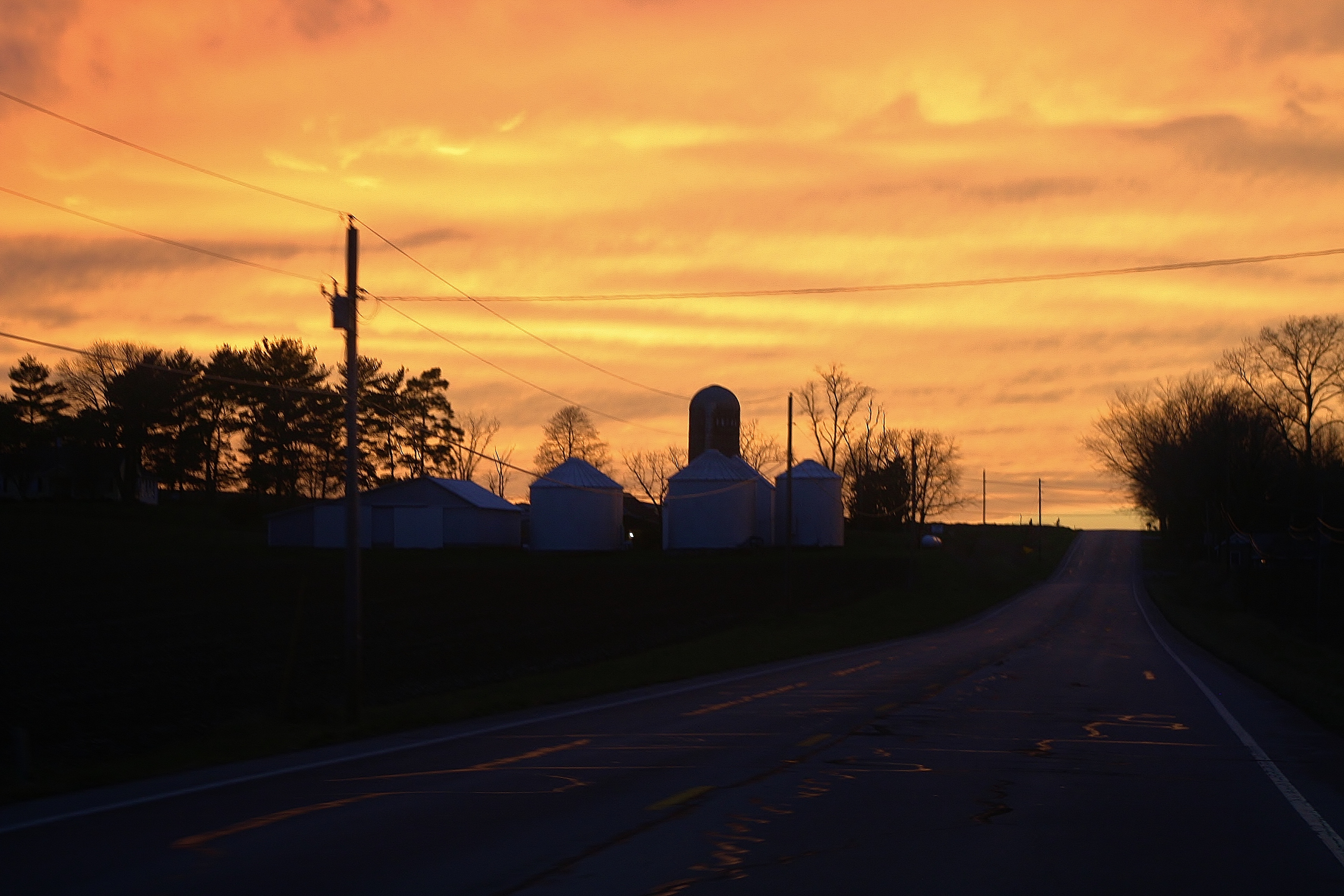
Sunset on the Farm
Sunset from Alquina School, Alquina, IN

Sun Sets Over a Western Wayne County Farm
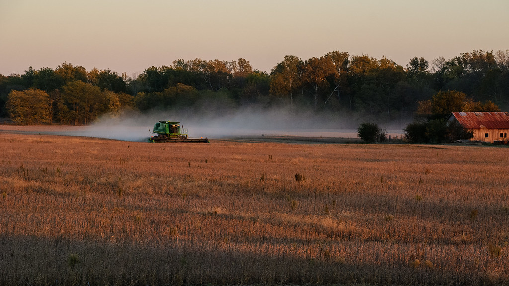
Combining Soybeans at Sunset
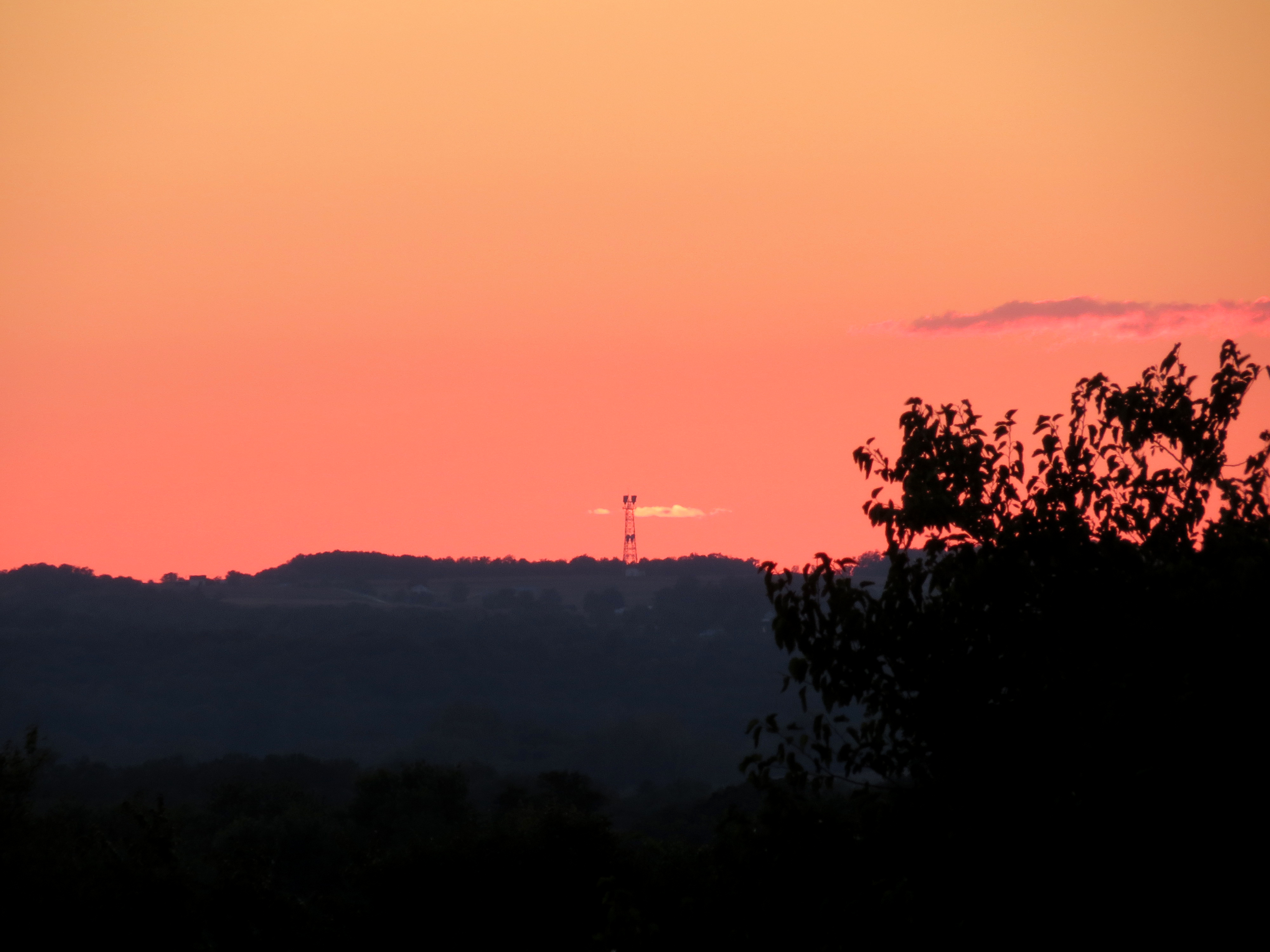
Sunset Quakertown, Indiana
Twilight on the Farm
County Road 450 West
Backlands Indiana
3 BALD EAGLES IN THIS IMAGE ALONG WITH SEVERAL GREAT BLUE HERONS.
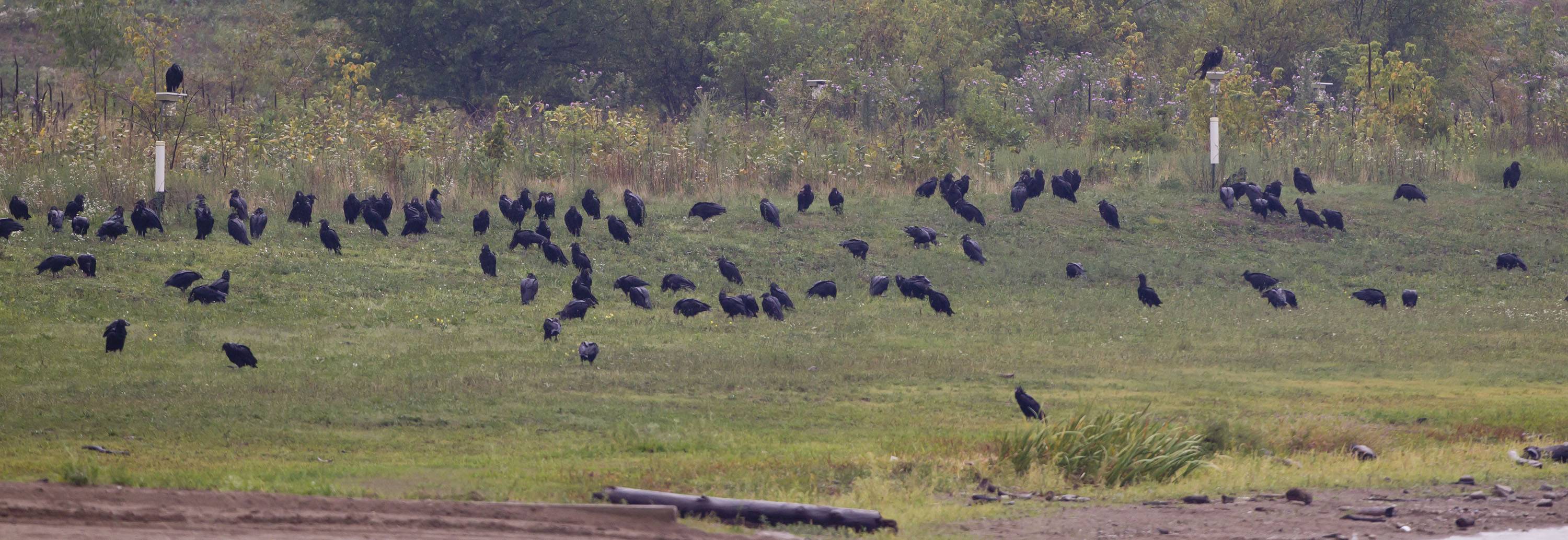
BLACK VULTURES
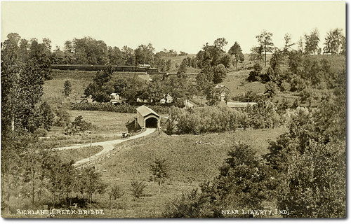
Richland Creek Valley and covered bridge near Liberty, Indiana
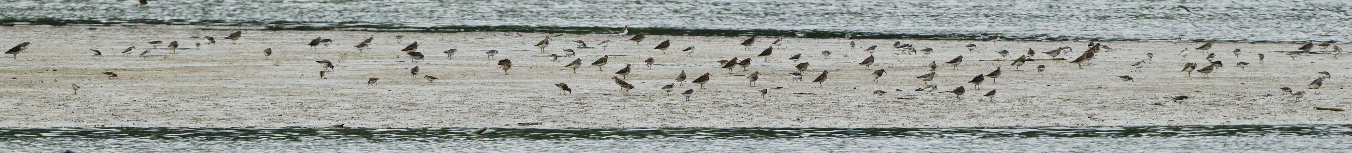
SHOREBIRDS ON THE MUDFLAT
アメリカ合衆国 インディアナ州 ウォータールーの地図
別の場所を検索
近所の場所
N Co Rd E, Connersville, IN アメリカ合衆国
Whitaker Dr, Milton, IN アメリカ合衆国
N Eby Dr, Connersville, IN アメリカ合衆国
Market St, Connersville, IN アメリカ合衆国
アメリカ合衆国 インディアナ州 コナーズビル
アメリカ合衆国 インディアナ州 ジェニングス
E Alquina Rd, Connersville, IN アメリカ合衆国
Sunset Ave, Connersville, IN アメリカ合衆国
アメリカ合衆国 インディアナ州 ハリソン・タウンシップ
アメリカ合衆国 インディアナ州 ワシントン
アメリカ合衆国 〒 インディアナ州 コナーズビル
アメリカ合衆国 インディアナ州 アビントン
アメリカ合衆国 インディアナ州 ファイエット
アメリカ合衆国 インディアナ州 ミルトン
アメリカ合衆国 インディアナ州 リバティー・タウンシップ
Abington Pike, Centerville, IN アメリカ合衆国
Lead Line Rd, Centerville, IN アメリカ合衆国
Delaware Ct, Cambridge City, IN アメリカ合衆国Cambridge Square 2 Apartments
アメリカ合衆国 インディアナ州 センター
アメリカ合衆国 〒 インディアナ州 ケンブリッジ・シティ
最近の検索
- アメリカ合衆国 アラスカ州 レッド・ドッグ・マイン日の出日の入り時間
- Am bhf, Borken, ドイツアム・バーンホーフ日の出日の入り時間
- 4th St E, Sonoma, CA, USA日の出日の入り時間
- Oakland Ave, Williamsport, PA アメリカ合衆国日の出日の入り時間
- Via Roma, Pieranica CR, イタリアローマ通り日の出日の入り時間
- クロアチア 〒 ドゥブロブニク GradClock Tower of Dubrovnik日の出日の入り時間
- アルゼンチン チュブ州 トレリュー日の出日の入り時間
- Hartfords Bluff Cir, Mt Pleasant, SC アメリカ合衆国日の出日の入り時間
- 日本、熊本県熊本市北区日の出日の入り時間
- 中華人民共和国 福州市 平潭県 平潭島日の出日の入り時間