WA-, Randle, WA アメリカ合衆国日の出日の入り時間
Location: アメリカ合衆国 > ワシントン州 > ルイス > アメリカ合衆国 〒 ワシントン州 ランドル >
時間帯:
America/Los_Angeles
現地時間:
2025-05-31 14:43:30
経度:
-121.954987
緯度:
46.520097
今日の日の出時刻:
05:17:58 AM
今日の日の入時刻:
08:53:38 PM
今日の日長:
15h 35m 40s
明日の日の出時刻:
05:17:25 AM
明日の日の入時刻:
08:54:29 PM
明日の日長:
15h 37m 4s
すべて表示する
| 日付 | 日出 | 日没 | 日長 |
|---|---|---|---|
| 2025年01月01日 | 07:51:35 AM | 04:32:31 PM | 8h 40m 56s |
| 2025年01月02日 | 07:51:30 AM | 04:33:31 PM | 8h 42m 1s |
| 2025年01月03日 | 07:51:22 AM | 04:34:32 PM | 8h 43m 10s |
| 2025年01月04日 | 07:51:12 AM | 04:35:36 PM | 8h 44m 24s |
| 2025年01月05日 | 07:50:59 AM | 04:36:41 PM | 8h 45m 42s |
| 2025年01月06日 | 07:50:43 AM | 04:37:49 PM | 8h 47m 6s |
| 2025年01月07日 | 07:50:25 AM | 04:38:58 PM | 8h 48m 33s |
| 2025年01月08日 | 07:50:04 AM | 04:40:08 PM | 8h 50m 4s |
| 2025年01月09日 | 07:49:40 AM | 04:41:20 PM | 8h 51m 40s |
| 2025年01月10日 | 07:49:13 AM | 04:42:34 PM | 8h 53m 21s |
| 2025年01月11日 | 07:48:44 AM | 04:43:49 PM | 8h 55m 5s |
| 2025年01月12日 | 07:48:13 AM | 04:45:06 PM | 8h 56m 53s |
| 2025年01月13日 | 07:47:38 AM | 04:46:23 PM | 8h 58m 45s |
| 2025年01月14日 | 07:47:02 AM | 04:47:42 PM | 9h 0m 40s |
| 2025年01月15日 | 07:46:22 AM | 04:49:02 PM | 9h 2m 40s |
| 2025年01月16日 | 07:45:40 AM | 04:50:23 PM | 9h 4m 43s |
| 2025年01月17日 | 07:44:56 AM | 04:51:46 PM | 9h 6m 50s |
| 2025年01月18日 | 07:44:10 AM | 04:53:09 PM | 9h 8m 59s |
| 2025年01月19日 | 07:43:20 AM | 04:54:33 PM | 9h 11m 13s |
| 2025年01月20日 | 07:42:29 AM | 04:55:58 PM | 9h 13m 29s |
| 2025年01月21日 | 07:41:35 AM | 04:57:23 PM | 9h 15m 48s |
| 2025年01月22日 | 07:40:39 AM | 04:58:50 PM | 9h 18m 11s |
| 2025年01月23日 | 07:39:41 AM | 05:00:17 PM | 9h 20m 36s |
| 2025年01月24日 | 07:38:41 AM | 05:01:44 PM | 9h 23m 3s |
| 2025年01月25日 | 07:37:38 AM | 05:03:12 PM | 9h 25m 34s |
| 2025年01月26日 | 07:36:34 AM | 05:04:41 PM | 9h 28m 7s |
| 2025年01月27日 | 07:35:27 AM | 05:06:10 PM | 9h 30m 43s |
| 2025年01月28日 | 07:34:18 AM | 05:07:40 PM | 9h 33m 22s |
| 2025年01月29日 | 07:33:08 AM | 05:09:09 PM | 9h 36m 1s |
| 2025年01月30日 | 07:31:55 AM | 05:10:39 PM | 9h 38m 44s |
| 2025年01月31日 | 07:30:41 AM | 05:12:10 PM | 9h 41m 29s |
| 2025年02月01日 | 07:29:25 AM | 05:13:40 PM | 9h 44m 15s |
| 2025年02月02日 | 07:28:07 AM | 05:15:11 PM | 9h 47m 4s |
| 2025年02月03日 | 07:26:47 AM | 05:16:42 PM | 9h 49m 55s |
| 2025年02月04日 | 07:25:25 AM | 05:18:13 PM | 9h 52m 48s |
| 2025年02月05日 | 07:24:02 AM | 05:19:43 PM | 9h 55m 41s |
| 2025年02月06日 | 07:22:37 AM | 05:21:14 PM | 9h 58m 37s |
| 2025年02月07日 | 07:21:11 AM | 05:22:45 PM | 10h 1m 34s |
| 2025年02月08日 | 07:19:43 AM | 05:24:16 PM | 10h 4m 33s |
| 2025年02月09日 | 07:18:14 AM | 05:25:47 PM | 10h 7m 33s |
| 2025年02月10日 | 07:16:43 AM | 05:27:18 PM | 10h 10m 35s |
| 2025年02月11日 | 07:15:11 AM | 05:28:49 PM | 10h 13m 38s |
| 2025年02月12日 | 07:13:37 AM | 05:30:19 PM | 10h 16m 42s |
| 2025年02月13日 | 07:12:02 AM | 05:31:49 PM | 10h 19m 47s |
| 2025年02月14日 | 07:10:26 AM | 05:33:20 PM | 10h 22m 54s |
| 2025年02月15日 | 07:08:49 AM | 05:34:50 PM | 10h 26m 1s |
| 2025年02月16日 | 07:07:10 AM | 05:36:19 PM | 10h 29m 9s |
| 2025年02月17日 | 07:05:30 AM | 05:37:49 PM | 10h 32m 19s |
| 2025年02月18日 | 07:03:49 AM | 05:39:18 PM | 10h 35m 29s |
| 2025年02月19日 | 07:02:07 AM | 05:40:47 PM | 10h 38m 40s |
| 2025年02月20日 | 07:00:24 AM | 05:42:16 PM | 10h 41m 52s |
| 2025年02月21日 | 06:58:40 AM | 05:43:45 PM | 10h 45m 5s |
| 2025年02月22日 | 06:56:55 AM | 05:45:13 PM | 10h 48m 18s |
| 2025年02月23日 | 06:55:09 AM | 05:46:41 PM | 10h 51m 32s |
| 2025年02月24日 | 06:53:22 AM | 05:48:09 PM | 10h 54m 47s |
| 2025年02月25日 | 06:51:35 AM | 05:49:37 PM | 10h 58m 2s |
| 2025年02月26日 | 06:49:46 AM | 05:51:04 PM | 11h 1m 18s |
| 2025年02月27日 | 06:47:57 AM | 05:52:31 PM | 11h 4m 34s |
| 2025年02月28日 | 06:46:07 AM | 05:53:57 PM | 11h 7m 50s |
| 2025年03月01日 | 06:44:16 AM | 05:55:24 PM | 11h 11m 8s |
| 2025年03月02日 | 06:42:25 AM | 05:56:50 PM | 11h 14m 25s |
| 2025年03月03日 | 06:40:33 AM | 05:58:16 PM | 11h 17m 43s |
| 2025年03月04日 | 06:38:40 AM | 05:59:41 PM | 11h 21m 1s |
| 2025年03月05日 | 06:36:47 AM | 06:01:07 PM | 11h 24m 20s |
| 2025年03月06日 | 06:34:53 AM | 06:02:32 PM | 11h 27m 39s |
| 2025年03月07日 | 06:32:59 AM | 06:03:56 PM | 11h 30m 57s |
| 2025年03月08日 | 06:31:05 AM | 06:05:21 PM | 11h 34m 16s |
| 2025年03月09日 | 07:29:14 AM | 07:06:42 PM | 11h 37m 28s |
| 2025年03月10日 | 07:27:19 AM | 07:08:06 PM | 11h 40m 47s |
| 2025年03月11日 | 07:25:23 AM | 07:09:30 PM | 11h 44m 7s |
| 2025年03月12日 | 07:23:27 AM | 07:10:53 PM | 11h 47m 26s |
| 2025年03月13日 | 07:21:30 AM | 07:12:17 PM | 11h 50m 47s |
| 2025年03月14日 | 07:19:33 AM | 07:13:40 PM | 11h 54m 7s |
| 2025年03月15日 | 07:17:36 AM | 07:15:03 PM | 11h 57m 27s |
| 2025年03月16日 | 07:15:39 AM | 07:16:26 PM | 12h 0m 47s |
| 2025年03月17日 | 07:13:41 AM | 07:17:48 PM | 12h 4m 7s |
| 2025年03月18日 | 07:11:44 AM | 07:19:11 PM | 12h 7m 27s |
| 2025年03月19日 | 07:09:46 AM | 07:20:33 PM | 12h 10m 47s |
| 2025年03月20日 | 07:07:48 AM | 07:21:55 PM | 12h 14m 7s |
| 2025年03月21日 | 07:05:50 AM | 07:23:17 PM | 12h 17m 27s |
| 2025年03月22日 | 07:03:52 AM | 07:24:39 PM | 12h 20m 47s |
| 2025年03月23日 | 07:01:54 AM | 07:26:01 PM | 12h 24m 7s |
| 2025年03月24日 | 06:59:57 AM | 07:27:23 PM | 12h 27m 26s |
| 2025年03月25日 | 06:57:59 AM | 07:28:44 PM | 12h 30m 45s |
| 2025年03月26日 | 06:56:01 AM | 07:30:06 PM | 12h 34m 5s |
| 2025年03月27日 | 06:54:03 AM | 07:31:27 PM | 12h 37m 24s |
| 2025年03月28日 | 06:52:06 AM | 07:32:48 PM | 12h 40m 42s |
| 2025年03月29日 | 06:50:09 AM | 07:34:10 PM | 12h 44m 1s |
| 2025年03月30日 | 06:48:12 AM | 07:35:31 PM | 12h 47m 19s |
| 2025年03月31日 | 06:46:15 AM | 07:36:52 PM | 12h 50m 37s |
| 2025年04月01日 | 06:44:19 AM | 07:38:13 PM | 12h 53m 54s |
| 2025年04月02日 | 06:42:22 AM | 07:39:34 PM | 12h 57m 12s |
| 2025年04月03日 | 06:40:27 AM | 07:40:55 PM | 13h 0m 28s |
| 2025年04月04日 | 06:38:31 AM | 07:42:16 PM | 13h 3m 45s |
| 2025年04月05日 | 06:36:36 AM | 07:43:37 PM | 13h 7m 1s |
| 2025年04月06日 | 06:34:42 AM | 07:44:58 PM | 13h 10m 16s |
| 2025年04月07日 | 06:32:48 AM | 07:46:19 PM | 13h 13m 31s |
| 2025年04月08日 | 06:30:54 AM | 07:47:40 PM | 13h 16m 46s |
| 2025年04月09日 | 06:29:01 AM | 07:49:01 PM | 13h 20m 0s |
| 2025年04月10日 | 06:27:09 AM | 07:50:22 PM | 13h 23m 13s |
| 2025年04月11日 | 06:25:17 AM | 07:51:43 PM | 13h 26m 26s |
| 2025年04月12日 | 06:23:25 AM | 07:53:04 PM | 13h 29m 39s |
| 2025年04月13日 | 06:21:35 AM | 07:54:25 PM | 13h 32m 50s |
| 2025年04月14日 | 06:19:45 AM | 07:55:46 PM | 13h 36m 1s |
| 2025年04月15日 | 06:17:56 AM | 07:57:07 PM | 13h 39m 11s |
| 2025年04月16日 | 06:16:08 AM | 07:58:28 PM | 13h 42m 20s |
| 2025年04月17日 | 06:14:20 AM | 07:59:48 PM | 13h 45m 28s |
| 2025年04月18日 | 06:12:33 AM | 08:01:09 PM | 13h 48m 36s |
| 2025年04月19日 | 06:10:48 AM | 08:02:30 PM | 13h 51m 42s |
| 2025年04月20日 | 06:09:03 AM | 08:03:51 PM | 13h 54m 48s |
| 2025年04月21日 | 06:07:19 AM | 08:05:11 PM | 13h 57m 52s |
| 2025年04月22日 | 06:05:36 AM | 08:06:32 PM | 14h 0m 56s |
| 2025年04月23日 | 06:03:54 AM | 08:07:53 PM | 14h 3m 59s |
| 2025年04月24日 | 06:02:13 AM | 08:09:13 PM | 14h 7m 0s |
| 2025年04月25日 | 06:00:33 AM | 08:10:33 PM | 14h 10m 0s |
| 2025年04月26日 | 05:58:55 AM | 08:11:53 PM | 14h 12m 58s |
| 2025年04月27日 | 05:57:17 AM | 08:13:13 PM | 14h 15m 56s |
| 2025年04月28日 | 05:55:41 AM | 08:14:33 PM | 14h 18m 52s |
| 2025年04月29日 | 05:54:06 AM | 08:15:53 PM | 14h 21m 47s |
| 2025年04月30日 | 05:52:32 AM | 08:17:12 PM | 14h 24m 40s |
| 2025年05月01日 | 05:51:00 AM | 08:18:31 PM | 14h 27m 31s |
| 2025年05月02日 | 05:49:29 AM | 08:19:50 PM | 14h 30m 21s |
| 2025年05月03日 | 05:47:59 AM | 08:21:09 PM | 14h 33m 10s |
| 2025年05月04日 | 05:46:31 AM | 08:22:27 PM | 14h 35m 56s |
| 2025年05月05日 | 05:45:04 AM | 08:23:45 PM | 14h 38m 41s |
| 2025年05月06日 | 05:43:39 AM | 08:25:03 PM | 14h 41m 24s |
| 2025年05月07日 | 05:42:16 AM | 08:26:20 PM | 14h 44m 4s |
| 2025年05月08日 | 05:40:53 AM | 08:27:37 PM | 14h 46m 44s |
| 2025年05月09日 | 05:39:33 AM | 08:28:53 PM | 14h 49m 20s |
| 2025年05月10日 | 05:38:14 AM | 08:30:09 PM | 14h 51m 55s |
| 2025年05月11日 | 05:36:57 AM | 08:31:24 PM | 14h 54m 27s |
| 2025年05月12日 | 05:35:42 AM | 08:32:38 PM | 14h 56m 56s |
| 2025年05月13日 | 05:34:28 AM | 08:33:52 PM | 14h 59m 24s |
| 2025年05月14日 | 05:33:17 AM | 08:35:05 PM | 15h 1m 48s |
| 2025年05月15日 | 05:32:07 AM | 08:36:18 PM | 15h 4m 11s |
| 2025年05月16日 | 05:30:59 AM | 08:37:29 PM | 15h 6m 30s |
| 2025年05月17日 | 05:29:53 AM | 08:38:40 PM | 15h 8m 47s |
| 2025年05月18日 | 05:28:49 AM | 08:39:50 PM | 15h 11m 1s |
| 2025年05月19日 | 05:27:47 AM | 08:40:59 PM | 15h 13m 12s |
| 2025年05月20日 | 05:26:47 AM | 08:42:07 PM | 15h 15m 20s |
| 2025年05月21日 | 05:25:49 AM | 08:43:15 PM | 15h 17m 26s |
| 2025年05月22日 | 05:24:53 AM | 08:44:21 PM | 15h 19m 28s |
| 2025年05月23日 | 05:23:59 AM | 08:45:25 PM | 15h 21m 26s |
| 2025年05月24日 | 05:23:08 AM | 08:46:29 PM | 15h 23m 21s |
| 2025年05月25日 | 05:22:18 AM | 08:47:32 PM | 15h 25m 14s |
| 2025年05月26日 | 05:21:31 AM | 08:48:33 PM | 15h 27m 2s |
| 2025年05月27日 | 05:20:47 AM | 08:49:33 PM | 15h 28m 46s |
| 2025年05月28日 | 05:20:04 AM | 08:50:31 PM | 15h 30m 27s |
| 2025年05月29日 | 05:19:24 AM | 08:51:28 PM | 15h 32m 4s |
| 2025年05月30日 | 05:18:46 AM | 08:52:24 PM | 15h 33m 38s |
| 2025年05月31日 | 05:18:10 AM | 08:53:18 PM | 15h 35m 8s |
| 2025年06月01日 | 05:17:37 AM | 08:54:10 PM | 15h 36m 33s |
| 2025年06月02日 | 05:17:06 AM | 08:55:01 PM | 15h 37m 55s |
| 2025年06月03日 | 05:16:38 AM | 08:55:50 PM | 15h 39m 12s |
| 2025年06月04日 | 05:16:12 AM | 08:56:37 PM | 15h 40m 25s |
| 2025年06月05日 | 05:15:49 AM | 08:57:22 PM | 15h 41m 33s |
| 2025年06月06日 | 05:15:28 AM | 08:58:06 PM | 15h 42m 38s |
| 2025年06月07日 | 05:15:09 AM | 08:58:48 PM | 15h 43m 39s |
| 2025年06月08日 | 05:14:53 AM | 08:59:27 PM | 15h 44m 34s |
| 2025年06月09日 | 05:14:39 AM | 09:00:05 PM | 15h 45m 26s |
| 2025年06月10日 | 05:14:28 AM | 09:00:41 PM | 15h 46m 13s |
| 2025年06月11日 | 05:14:19 AM | 09:01:14 PM | 15h 46m 55s |
| 2025年06月12日 | 05:14:13 AM | 09:01:45 PM | 15h 47m 32s |
| 2025年06月13日 | 05:14:09 AM | 09:02:15 PM | 15h 48m 6s |
| 2025年06月14日 | 05:14:08 AM | 09:02:42 PM | 15h 48m 34s |
| 2025年06月15日 | 05:14:09 AM | 09:03:06 PM | 15h 48m 57s |
| 2025年06月16日 | 05:14:13 AM | 09:03:29 PM | 15h 49m 16s |
| 2025年06月17日 | 05:14:19 AM | 09:03:49 PM | 15h 49m 30s |
| 2025年06月18日 | 05:14:27 AM | 09:04:07 PM | 15h 49m 40s |
| 2025年06月19日 | 05:14:38 AM | 09:04:22 PM | 15h 49m 44s |
| 2025年06月20日 | 05:14:51 AM | 09:04:35 PM | 15h 49m 44s |
| 2025年06月21日 | 05:15:07 AM | 09:04:46 PM | 15h 49m 39s |
| 2025年06月22日 | 05:15:24 AM | 09:04:54 PM | 15h 49m 30s |
| 2025年06月23日 | 05:15:45 AM | 09:04:59 PM | 15h 49m 14s |
| 2025年06月24日 | 05:16:07 AM | 09:05:03 PM | 15h 48m 56s |
| 2025年06月25日 | 05:16:31 AM | 09:05:03 PM | 15h 48m 32s |
| 2025年06月26日 | 05:16:58 AM | 09:05:01 PM | 15h 48m 3s |
| 2025年06月27日 | 05:17:27 AM | 09:04:57 PM | 15h 47m 30s |
| 2025年06月28日 | 05:17:58 AM | 09:04:50 PM | 15h 46m 52s |
| 2025年06月29日 | 05:18:31 AM | 09:04:41 PM | 15h 46m 10s |
| 2025年06月30日 | 05:19:06 AM | 09:04:29 PM | 15h 45m 23s |
| 2025年07月01日 | 05:19:43 AM | 09:04:15 PM | 15h 44m 32s |
| 2025年07月02日 | 05:20:22 AM | 09:03:58 PM | 15h 43m 36s |
| 2025年07月03日 | 05:21:02 AM | 09:03:38 PM | 15h 42m 36s |
| 2025年07月04日 | 05:21:45 AM | 09:03:17 PM | 15h 41m 32s |
| 2025年07月05日 | 05:22:29 AM | 09:02:52 PM | 15h 40m 23s |
| 2025年07月06日 | 05:23:16 AM | 09:02:25 PM | 15h 39m 9s |
| 2025年07月07日 | 05:24:03 AM | 09:01:56 PM | 15h 37m 53s |
| 2025年07月08日 | 05:24:53 AM | 09:01:24 PM | 15h 36m 31s |
| 2025年07月09日 | 05:25:44 AM | 09:00:50 PM | 15h 35m 6s |
| 2025年07月10日 | 05:26:36 AM | 09:00:13 PM | 15h 33m 37s |
| 2025年07月11日 | 05:27:30 AM | 08:59:34 PM | 15h 32m 4s |
| 2025年07月12日 | 05:28:26 AM | 08:58:53 PM | 15h 30m 27s |
| 2025年07月13日 | 05:29:22 AM | 08:58:09 PM | 15h 28m 47s |
| 2025年07月14日 | 05:30:20 AM | 08:57:24 PM | 15h 27m 4s |
| 2025年07月15日 | 05:31:20 AM | 08:56:35 PM | 15h 25m 15s |
| 2025年07月16日 | 05:32:20 AM | 08:55:45 PM | 15h 23m 25s |
| 2025年07月17日 | 05:33:22 AM | 08:54:52 PM | 15h 21m 30s |
| 2025年07月18日 | 05:34:25 AM | 08:53:57 PM | 15h 19m 32s |
| 2025年07月19日 | 05:35:28 AM | 08:53:00 PM | 15h 17m 32s |
| 2025年07月20日 | 05:36:33 AM | 08:52:01 PM | 15h 15m 28s |
| 2025年07月21日 | 05:37:39 AM | 08:51:00 PM | 15h 13m 21s |
| 2025年07月22日 | 05:38:45 AM | 08:49:56 PM | 15h 11m 11s |
| 2025年07月23日 | 05:39:53 AM | 08:48:51 PM | 15h 8m 58s |
| 2025年07月24日 | 05:41:01 AM | 08:47:44 PM | 15h 6m 43s |
| 2025年07月25日 | 05:42:10 AM | 08:46:35 PM | 15h 4m 25s |
| 2025年07月26日 | 05:43:20 AM | 08:45:24 PM | 15h 2m 4s |
| 2025年07月27日 | 05:44:30 AM | 08:44:11 PM | 14h 59m 41s |
| 2025年07月28日 | 05:45:41 AM | 08:42:56 PM | 14h 57m 15s |
| 2025年07月29日 | 05:46:52 AM | 08:41:39 PM | 14h 54m 47s |
| 2025年07月30日 | 05:48:04 AM | 08:40:21 PM | 14h 52m 17s |
| 2025年07月31日 | 05:49:17 AM | 08:39:01 PM | 14h 49m 44s |
| 2025年08月01日 | 05:50:30 AM | 08:37:39 PM | 14h 47m 9s |
| 2025年08月02日 | 05:51:43 AM | 08:36:16 PM | 14h 44m 33s |
| 2025年08月03日 | 05:52:57 AM | 08:34:51 PM | 14h 41m 54s |
| 2025年08月04日 | 05:54:11 AM | 08:33:24 PM | 14h 39m 13s |
| 2025年08月05日 | 05:55:26 AM | 08:31:56 PM | 14h 36m 30s |
| 2025年08月06日 | 05:56:41 AM | 08:30:27 PM | 14h 33m 46s |
| 2025年08月07日 | 05:57:56 AM | 08:28:56 PM | 14h 31m 0s |
| 2025年08月08日 | 05:59:11 AM | 08:27:23 PM | 14h 28m 12s |
| 2025年08月09日 | 06:00:27 AM | 08:25:50 PM | 14h 25m 23s |
| 2025年08月10日 | 06:01:42 AM | 08:24:14 PM | 14h 22m 32s |
| 2025年08月11日 | 06:02:58 AM | 08:22:38 PM | 14h 19m 40s |
| 2025年08月12日 | 06:04:14 AM | 08:21:01 PM | 14h 16m 47s |
| 2025年08月13日 | 06:05:30 AM | 08:19:22 PM | 14h 13m 52s |
| 2025年08月14日 | 06:06:46 AM | 08:17:42 PM | 14h 10m 56s |
| 2025年08月15日 | 06:08:03 AM | 08:16:01 PM | 14h 7m 58s |
| 2025年08月16日 | 06:09:19 AM | 08:14:18 PM | 14h 4m 59s |
| 2025年08月17日 | 06:10:36 AM | 08:12:35 PM | 14h 1m 59s |
| 2025年08月18日 | 06:11:52 AM | 08:10:51 PM | 13h 58m 59s |
| 2025年08月19日 | 06:13:08 AM | 08:09:06 PM | 13h 55m 58s |
| 2025年08月20日 | 06:14:25 AM | 08:07:19 PM | 13h 52m 54s |
| 2025年08月21日 | 06:15:42 AM | 08:05:32 PM | 13h 49m 50s |
| 2025年08月22日 | 06:16:58 AM | 08:03:44 PM | 13h 46m 46s |
| 2025年08月23日 | 06:18:15 AM | 08:01:55 PM | 13h 43m 40s |
| 2025年08月24日 | 06:19:31 AM | 08:00:05 PM | 13h 40m 34s |
| 2025年08月25日 | 06:20:48 AM | 07:58:15 PM | 13h 37m 27s |
| 2025年08月26日 | 06:22:04 AM | 07:56:24 PM | 13h 34m 20s |
| 2025年08月27日 | 06:23:21 AM | 07:54:32 PM | 13h 31m 11s |
| 2025年08月28日 | 06:24:37 AM | 07:52:39 PM | 13h 28m 2s |
| 2025年08月29日 | 06:25:54 AM | 07:50:46 PM | 13h 24m 52s |
| 2025年08月30日 | 06:27:10 AM | 07:48:52 PM | 13h 21m 42s |
| 2025年08月31日 | 06:28:26 AM | 07:46:57 PM | 13h 18m 31s |
| 2025年09月01日 | 06:29:43 AM | 07:45:02 PM | 13h 15m 19s |
| 2025年09月02日 | 06:30:59 AM | 07:43:07 PM | 13h 12m 8s |
| 2025年09月03日 | 06:32:15 AM | 07:41:11 PM | 13h 8m 56s |
| 2025年09月04日 | 06:33:32 AM | 07:39:14 PM | 13h 5m 42s |
| 2025年09月05日 | 06:34:48 AM | 07:37:17 PM | 13h 2m 29s |
| 2025年09月06日 | 06:36:04 AM | 07:35:20 PM | 12h 59m 16s |
| 2025年09月07日 | 06:37:21 AM | 07:33:22 PM | 12h 56m 1s |
| 2025年09月08日 | 06:38:37 AM | 07:31:24 PM | 12h 52m 47s |
| 2025年09月09日 | 06:39:53 AM | 07:29:25 PM | 12h 49m 32s |
| 2025年09月10日 | 06:41:10 AM | 07:27:27 PM | 12h 46m 17s |
| 2025年09月11日 | 06:42:26 AM | 07:25:28 PM | 12h 43m 2s |
| 2025年09月12日 | 06:43:43 AM | 07:23:29 PM | 12h 39m 46s |
| 2025年09月13日 | 06:44:59 AM | 07:21:30 PM | 12h 36m 31s |
| 2025年09月14日 | 06:46:16 AM | 07:19:30 PM | 12h 33m 14s |
| 2025年09月15日 | 06:47:32 AM | 07:17:31 PM | 12h 29m 59s |
| 2025年09月16日 | 06:48:49 AM | 07:15:31 PM | 12h 26m 42s |
| 2025年09月17日 | 06:50:06 AM | 07:13:31 PM | 12h 23m 25s |
| 2025年09月18日 | 06:51:23 AM | 07:11:32 PM | 12h 20m 9s |
| 2025年09月19日 | 06:52:40 AM | 07:09:32 PM | 12h 16m 52s |
| 2025年09月20日 | 06:53:57 AM | 07:07:32 PM | 12h 13m 35s |
| 2025年09月21日 | 06:55:14 AM | 07:05:33 PM | 12h 10m 19s |
| 2025年09月22日 | 06:56:32 AM | 07:03:33 PM | 12h 7m 1s |
| 2025年09月23日 | 06:57:49 AM | 07:01:34 PM | 12h 3m 45s |
| 2025年09月24日 | 06:59:07 AM | 06:59:34 PM | 12h 0m 27s |
| 2025年09月25日 | 07:00:25 AM | 06:57:35 PM | 11h 57m 10s |
| 2025年09月26日 | 07:01:43 AM | 06:55:36 PM | 11h 53m 53s |
| 2025年09月27日 | 07:03:01 AM | 06:53:38 PM | 11h 50m 37s |
| 2025年09月28日 | 07:04:20 AM | 06:51:39 PM | 11h 47m 19s |
| 2025年09月29日 | 07:05:39 AM | 06:49:41 PM | 11h 44m 2s |
| 2025年09月30日 | 07:06:58 AM | 06:47:44 PM | 11h 40m 46s |
| 2025年10月01日 | 07:08:17 AM | 06:45:46 PM | 11h 37m 29s |
| 2025年10月02日 | 07:09:36 AM | 06:43:49 PM | 11h 34m 13s |
| 2025年10月03日 | 07:10:56 AM | 06:41:53 PM | 11h 30m 57s |
| 2025年10月04日 | 07:12:16 AM | 06:39:57 PM | 11h 27m 41s |
| 2025年10月05日 | 07:13:36 AM | 06:38:01 PM | 11h 24m 25s |
| 2025年10月06日 | 07:14:57 AM | 06:36:06 PM | 11h 21m 9s |
| 2025年10月07日 | 07:16:18 AM | 06:34:11 PM | 11h 17m 53s |
| 2025年10月08日 | 07:17:39 AM | 06:32:18 PM | 11h 14m 39s |
| 2025年10月09日 | 07:19:00 AM | 06:30:24 PM | 11h 11m 24s |
| 2025年10月10日 | 07:20:22 AM | 06:28:32 PM | 11h 8m 10s |
| 2025年10月11日 | 07:21:44 AM | 06:26:40 PM | 11h 4m 56s |
| 2025年10月12日 | 07:23:06 AM | 06:24:49 PM | 11h 1m 43s |
| 2025年10月13日 | 07:24:28 AM | 06:22:58 PM | 10h 58m 30s |
| 2025年10月14日 | 07:25:51 AM | 06:21:09 PM | 10h 55m 18s |
| 2025年10月15日 | 07:27:15 AM | 06:19:20 PM | 10h 52m 5s |
| 2025年10月16日 | 07:28:38 AM | 06:17:32 PM | 10h 48m 54s |
| 2025年10月17日 | 07:30:02 AM | 06:15:45 PM | 10h 45m 43s |
| 2025年10月18日 | 07:31:26 AM | 06:13:59 PM | 10h 42m 33s |
| 2025年10月19日 | 07:32:50 AM | 06:12:14 PM | 10h 39m 24s |
| 2025年10月20日 | 07:34:15 AM | 06:10:30 PM | 10h 36m 15s |
| 2025年10月21日 | 07:35:40 AM | 06:08:47 PM | 10h 33m 7s |
| 2025年10月22日 | 07:37:05 AM | 06:07:05 PM | 10h 30m 0s |
| 2025年10月23日 | 07:38:31 AM | 06:05:24 PM | 10h 26m 53s |
| 2025年10月24日 | 07:39:56 AM | 06:03:45 PM | 10h 23m 49s |
| 2025年10月25日 | 07:41:22 AM | 06:02:06 PM | 10h 20m 44s |
| 2025年10月26日 | 07:42:48 AM | 06:00:29 PM | 10h 17m 41s |
| 2025年10月27日 | 07:44:15 AM | 05:58:53 PM | 10h 14m 38s |
| 2025年10月28日 | 07:45:41 AM | 05:57:19 PM | 10h 11m 38s |
| 2025年10月29日 | 07:47:08 AM | 05:55:46 PM | 10h 8m 38s |
| 2025年10月30日 | 07:48:35 AM | 05:54:14 PM | 10h 5m 39s |
| 2025年10月31日 | 07:50:02 AM | 05:52:44 PM | 10h 2m 42s |
| 2025年11月01日 | 07:51:29 AM | 05:51:15 PM | 9h 59m 46s |
| 2025年11月02日 | 06:53:00 AM | 04:49:45 PM | 9h 56m 45s |
| 2025年11月03日 | 06:54:27 AM | 04:48:19 PM | 9h 53m 52s |
| 2025年11月04日 | 06:55:54 AM | 04:46:55 PM | 9h 51m 1s |
| 2025年11月05日 | 06:57:22 AM | 04:45:33 PM | 9h 48m 11s |
| 2025年11月06日 | 06:58:49 AM | 04:44:13 PM | 9h 45m 24s |
| 2025年11月07日 | 07:00:16 AM | 04:42:54 PM | 9h 42m 38s |
| 2025年11月08日 | 07:01:43 AM | 04:41:37 PM | 9h 39m 54s |
| 2025年11月09日 | 07:03:10 AM | 04:40:22 PM | 9h 37m 12s |
| 2025年11月10日 | 07:04:37 AM | 04:39:09 PM | 9h 34m 32s |
| 2025年11月11日 | 07:06:03 AM | 04:37:58 PM | 9h 31m 55s |
| 2025年11月12日 | 07:07:29 AM | 04:36:49 PM | 9h 29m 20s |
| 2025年11月13日 | 07:08:55 AM | 04:35:41 PM | 9h 26m 46s |
| 2025年11月14日 | 07:10:20 AM | 04:34:36 PM | 9h 24m 16s |
| 2025年11月15日 | 07:11:45 AM | 04:33:33 PM | 9h 21m 48s |
| 2025年11月16日 | 07:13:10 AM | 04:32:33 PM | 9h 19m 23s |
| 2025年11月17日 | 07:14:34 AM | 04:31:34 PM | 9h 17m 0s |
| 2025年11月18日 | 07:15:57 AM | 04:30:38 PM | 9h 14m 41s |
| 2025年11月19日 | 07:17:20 AM | 04:29:43 PM | 9h 12m 23s |
| 2025年11月20日 | 07:18:42 AM | 04:28:52 PM | 9h 10m 10s |
| 2025年11月21日 | 07:20:03 AM | 04:28:02 PM | 9h 7m 59s |
| 2025年11月22日 | 07:21:23 AM | 04:27:15 PM | 9h 5m 52s |
| 2025年11月23日 | 07:22:43 AM | 04:26:31 PM | 9h 3m 48s |
| 2025年11月24日 | 07:24:01 AM | 04:25:49 PM | 9h 1m 48s |
| 2025年11月25日 | 07:25:19 AM | 04:25:09 PM | 8h 59m 50s |
| 2025年11月26日 | 07:26:35 AM | 04:24:32 PM | 8h 57m 57s |
| 2025年11月27日 | 07:27:50 AM | 04:23:58 PM | 8h 56m 8s |
| 2025年11月28日 | 07:29:04 AM | 04:23:26 PM | 8h 54m 22s |
| 2025年11月29日 | 07:30:17 AM | 04:22:57 PM | 8h 52m 40s |
| 2025年11月30日 | 07:31:28 AM | 04:22:30 PM | 8h 51m 2s |
| 2025年12月01日 | 07:32:38 AM | 04:22:06 PM | 8h 49m 28s |
| 2025年12月02日 | 07:33:47 AM | 04:21:45 PM | 8h 47m 58s |
| 2025年12月03日 | 07:34:54 AM | 04:21:27 PM | 8h 46m 33s |
| 2025年12月04日 | 07:35:59 AM | 04:21:11 PM | 8h 45m 12s |
| 2025年12月05日 | 07:37:03 AM | 04:20:58 PM | 8h 43m 55s |
| 2025年12月06日 | 07:38:04 AM | 04:20:48 PM | 8h 42m 44s |
| 2025年12月07日 | 07:39:04 AM | 04:20:41 PM | 8h 41m 37s |
| 2025年12月08日 | 07:40:03 AM | 04:20:36 PM | 8h 40m 33s |
| 2025年12月09日 | 07:40:59 AM | 04:20:35 PM | 8h 39m 36s |
| 2025年12月10日 | 07:41:53 AM | 04:20:36 PM | 8h 38m 43s |
| 2025年12月11日 | 07:42:45 AM | 04:20:40 PM | 8h 37m 55s |
| 2025年12月12日 | 07:43:35 AM | 04:20:46 PM | 8h 37m 11s |
| 2025年12月13日 | 07:44:22 AM | 04:20:56 PM | 8h 36m 34s |
| 2025年12月14日 | 07:45:08 AM | 04:21:08 PM | 8h 36m 0s |
| 2025年12月15日 | 07:45:51 AM | 04:21:23 PM | 8h 35m 32s |
| 2025年12月16日 | 07:46:32 AM | 04:21:41 PM | 8h 35m 9s |
| 2025年12月17日 | 07:47:10 AM | 04:22:02 PM | 8h 34m 52s |
| 2025年12月18日 | 07:47:46 AM | 04:22:25 PM | 8h 34m 39s |
| 2025年12月19日 | 07:48:20 AM | 04:22:51 PM | 8h 34m 31s |
| 2025年12月20日 | 07:48:51 AM | 04:23:20 PM | 8h 34m 29s |
| 2025年12月21日 | 07:49:19 AM | 04:23:51 PM | 8h 34m 32s |
| 2025年12月22日 | 07:49:45 AM | 04:24:25 PM | 8h 34m 40s |
| 2025年12月23日 | 07:50:08 AM | 04:25:01 PM | 8h 34m 53s |
| 2025年12月24日 | 07:50:29 AM | 04:25:40 PM | 8h 35m 11s |
| 2025年12月25日 | 07:50:46 AM | 04:26:21 PM | 8h 35m 35s |
| 2025年12月26日 | 07:51:02 AM | 04:27:05 PM | 8h 36m 3s |
| 2025年12月27日 | 07:51:14 AM | 04:27:52 PM | 8h 36m 38s |
| 2025年12月28日 | 07:51:24 AM | 04:28:40 PM | 8h 37m 16s |
| 2025年12月29日 | 07:51:31 AM | 04:29:31 PM | 8h 38m 0s |
| 2025年12月30日 | 07:51:35 AM | 04:30:24 PM | 8h 38m 49s |
| 2025年12月31日 | 07:51:36 AM | 04:31:19 PM | 8h 39m 43s |
写真
Highway 12 (35)
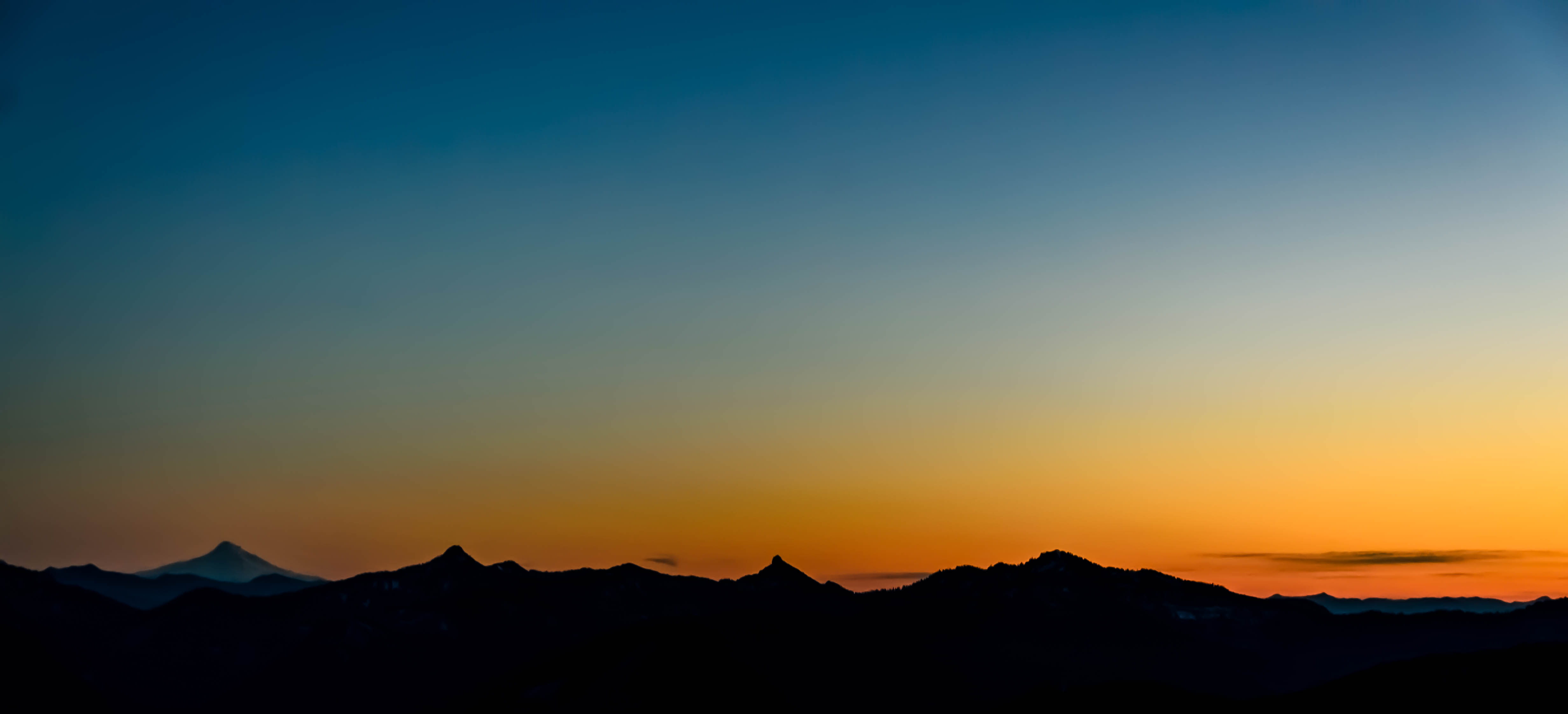
Hooded Sunset
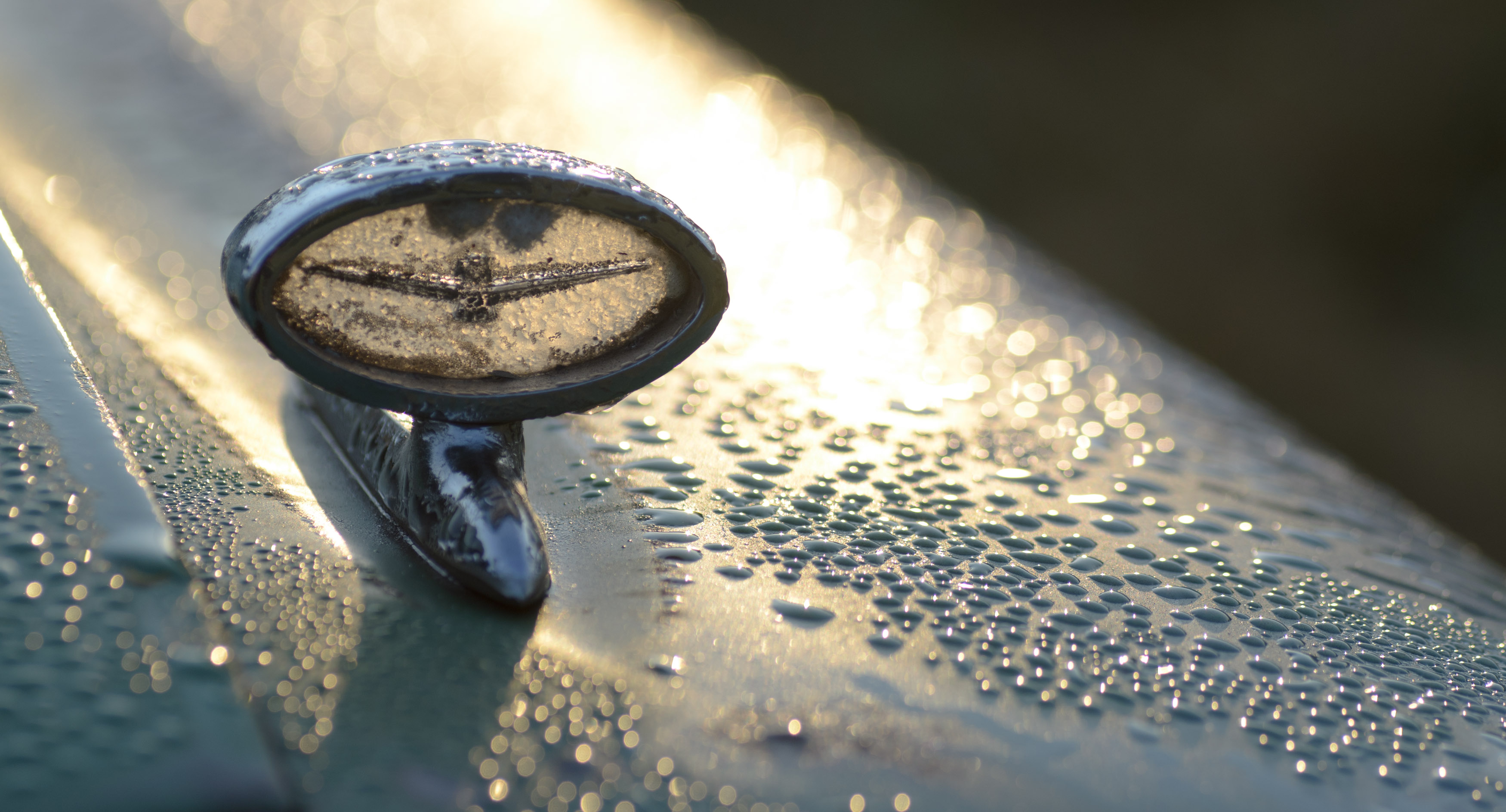
Burley Sunset

Mt Rainier, Washington, October 2007
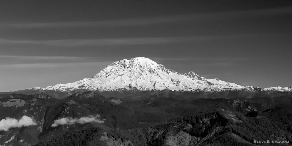
Mt Rainier, Washington, October 2007
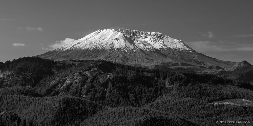
Mt St Helens, Washington, October 2007

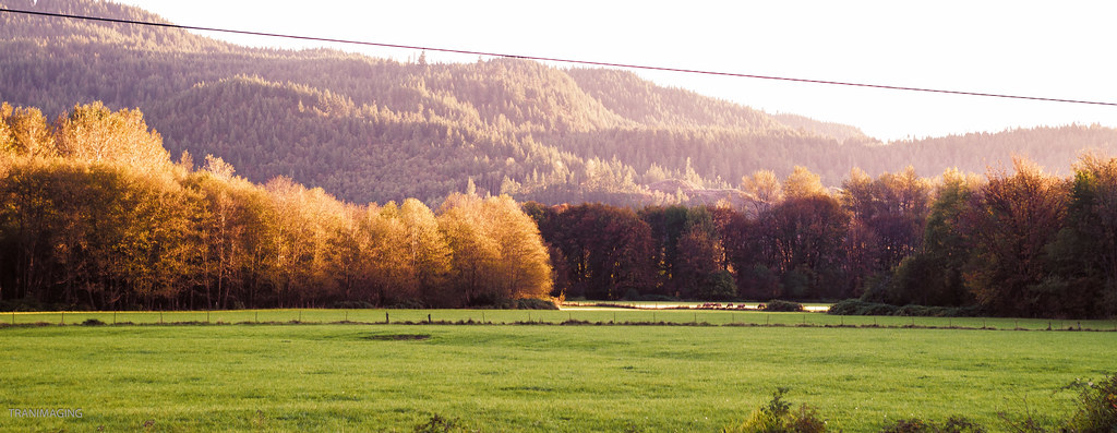
Falls Road Panoramic
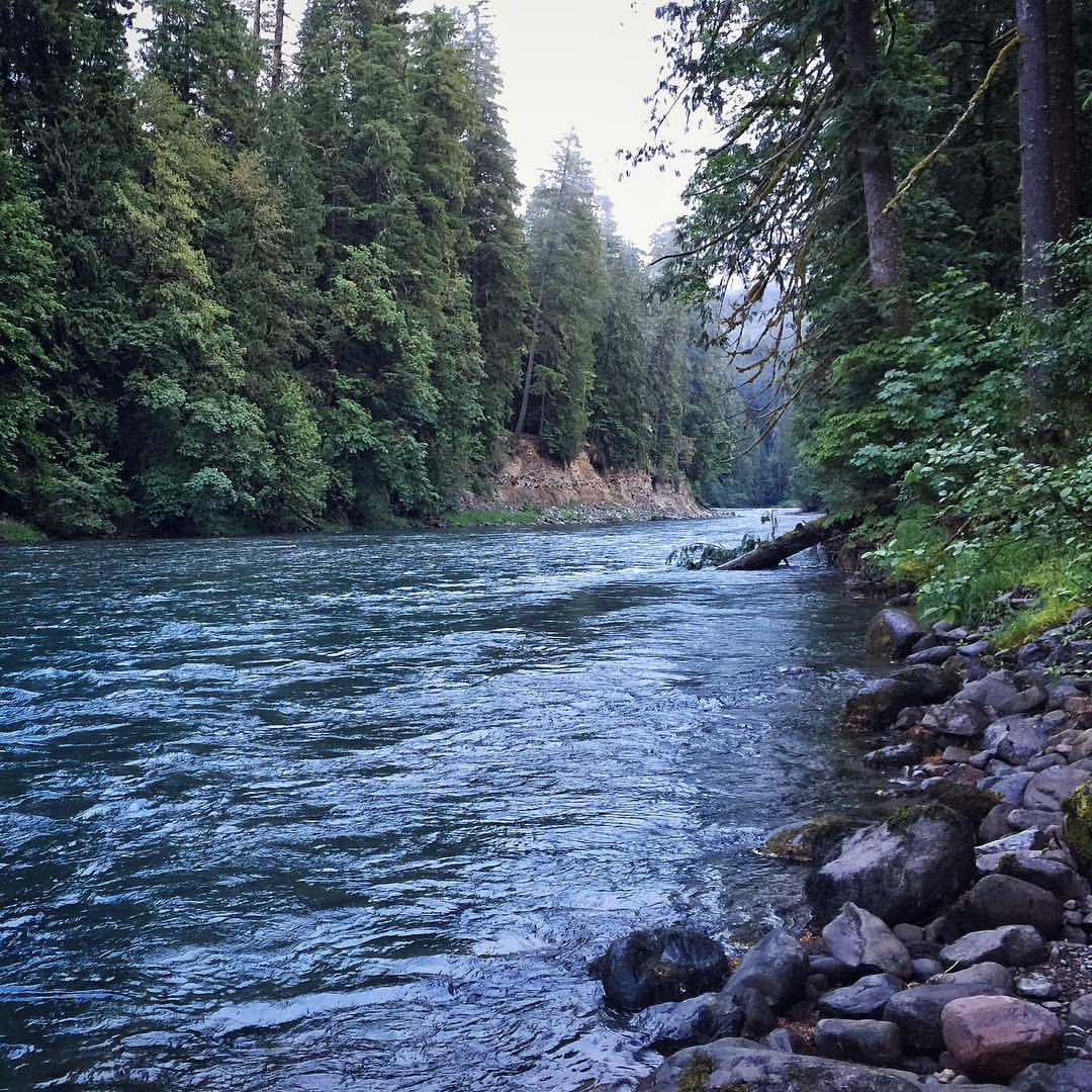
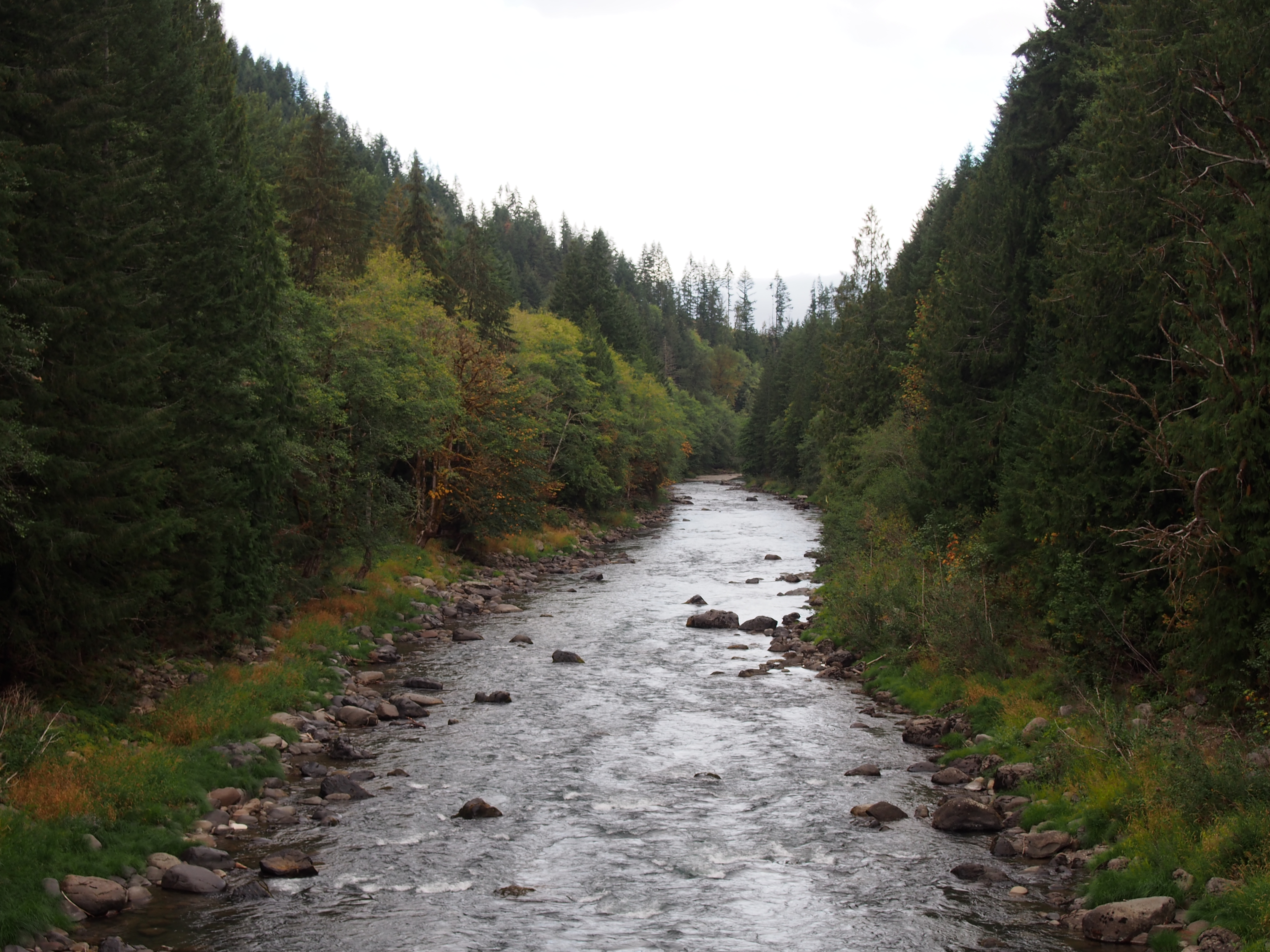
A view upstream of Iron Creek located in the Gifford Pinchot National Forest. #river #giffordpinchotnationalforest #wilderness #pnw
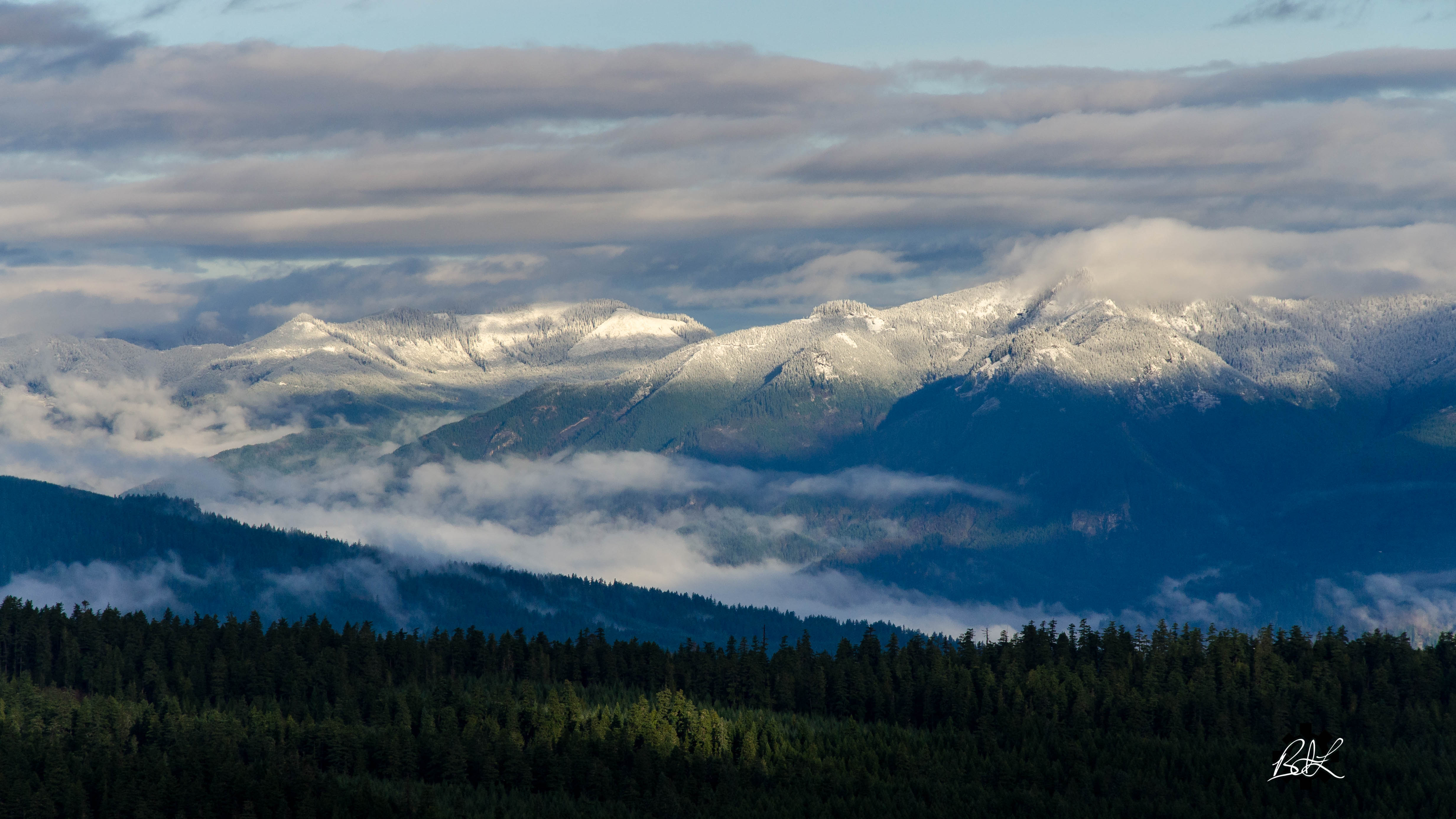
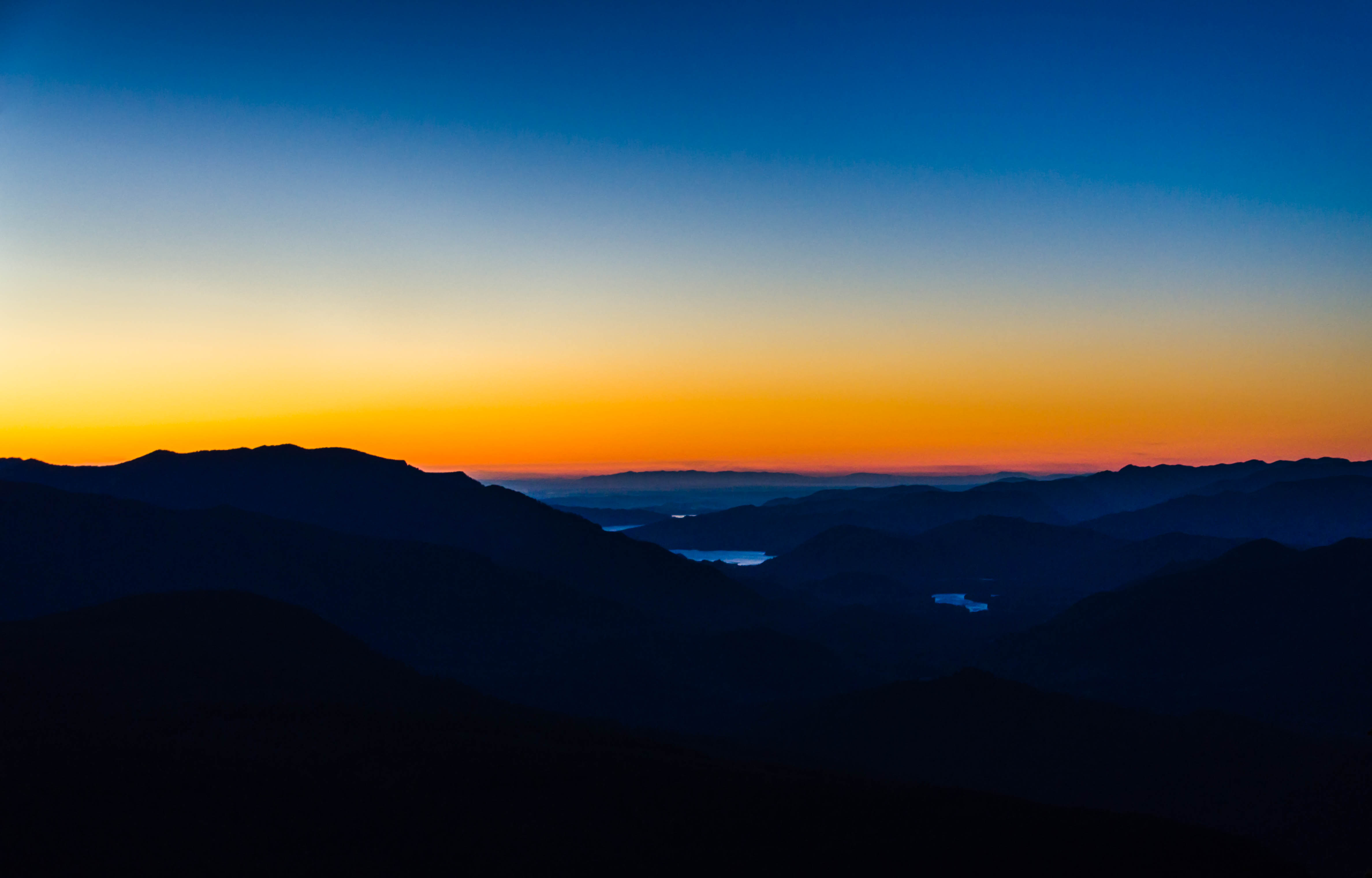
High Country

Mount Rainier National Park

Mount Rainier National Park

Mount Rainier National Park

Mount Rainier National Park

Mount Rainier National Park

Mount Rainier National Park
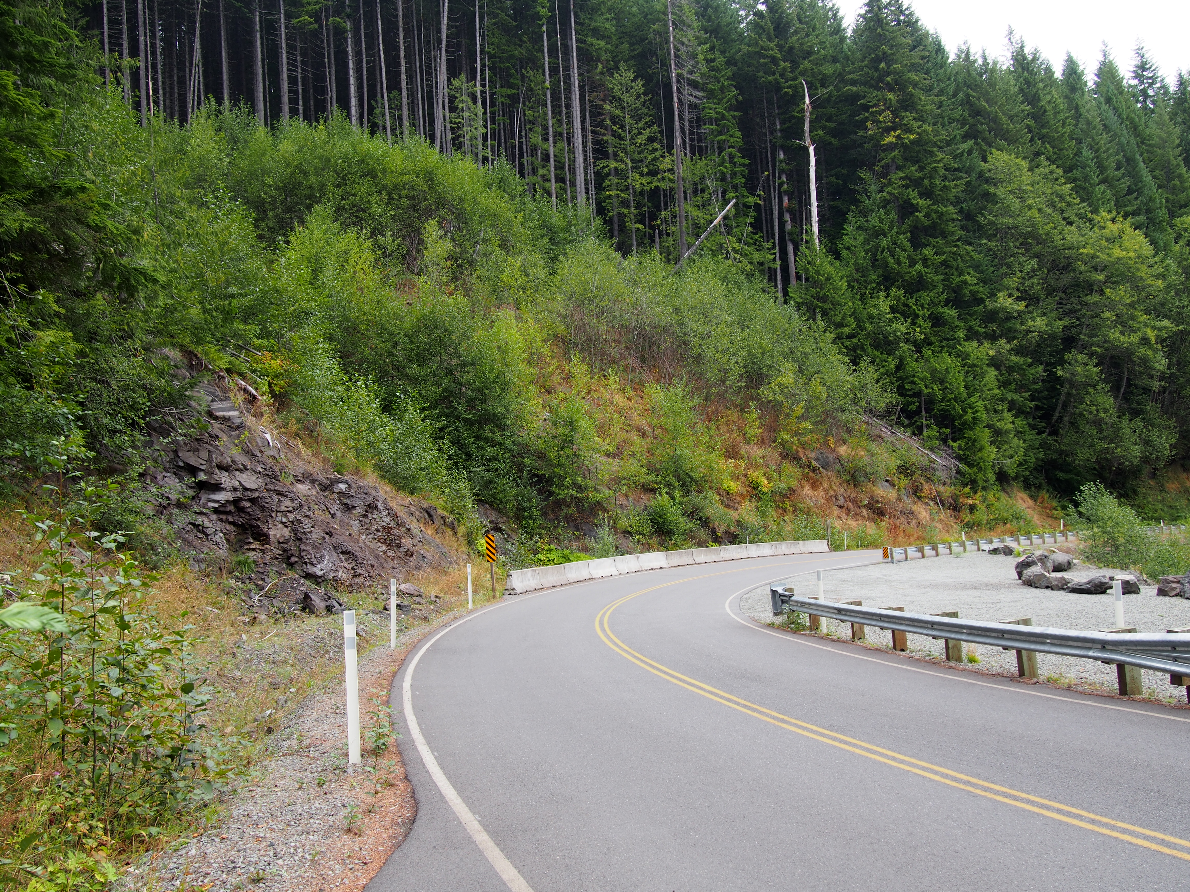
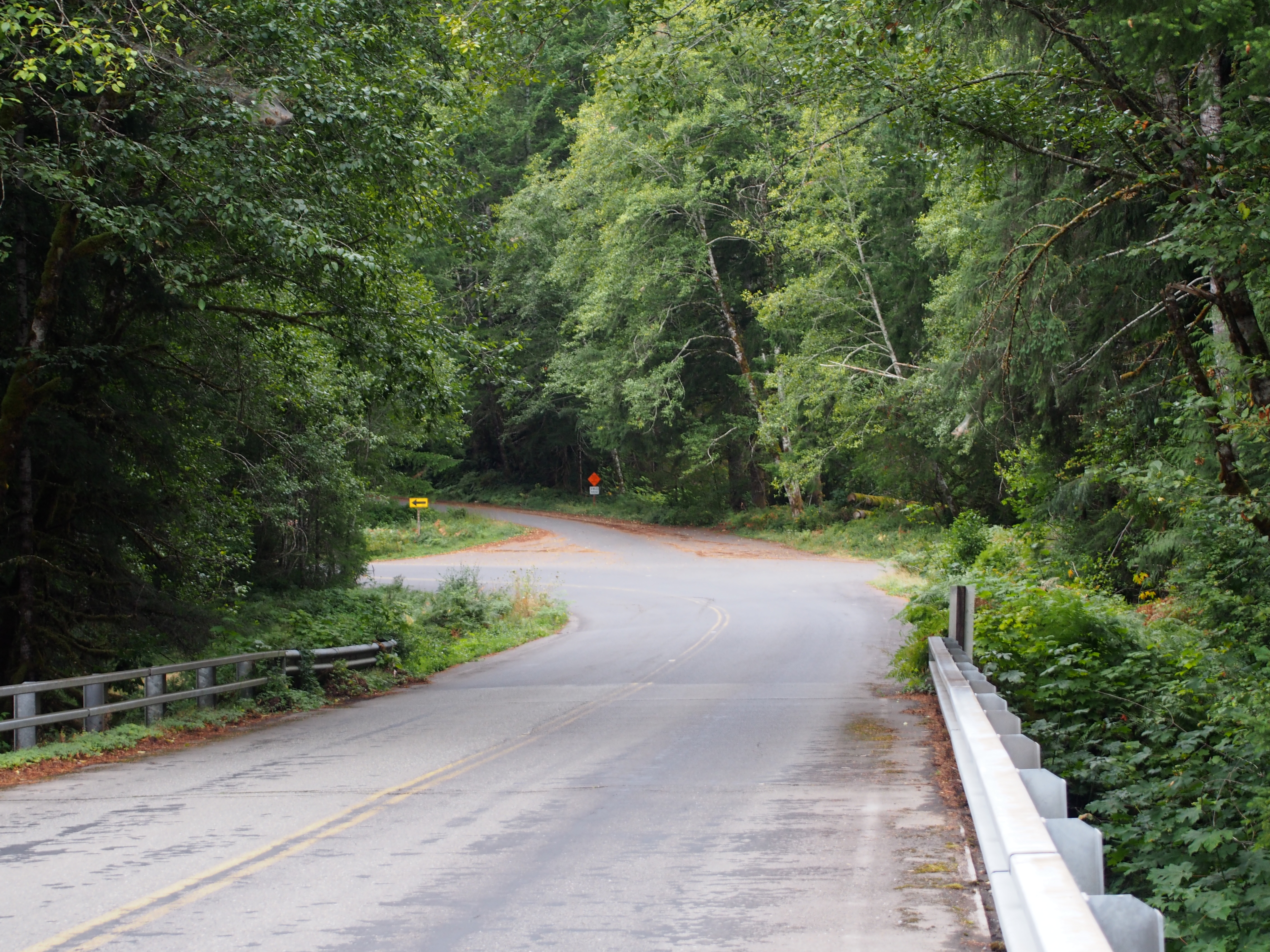
NF Development Road 25
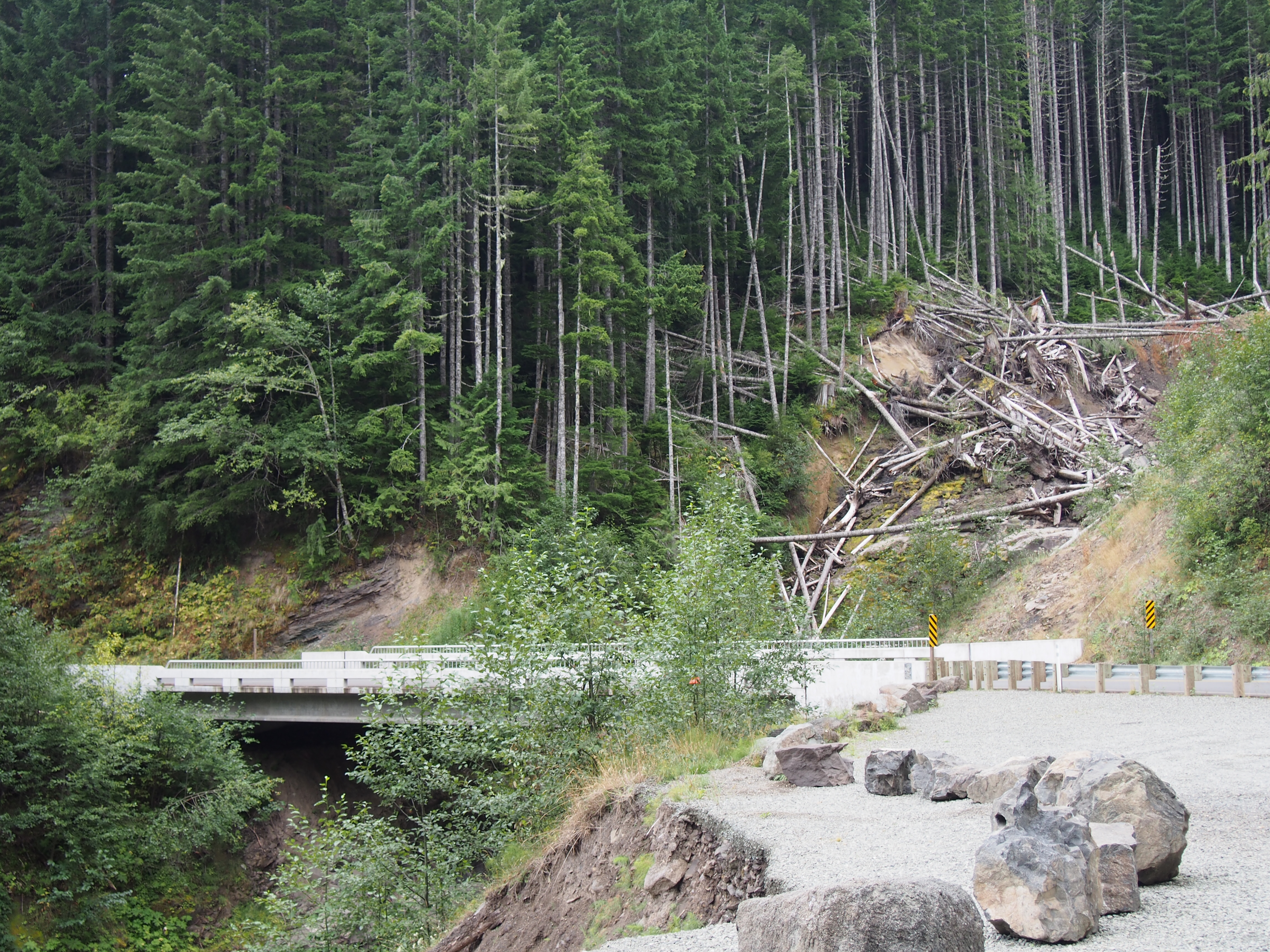
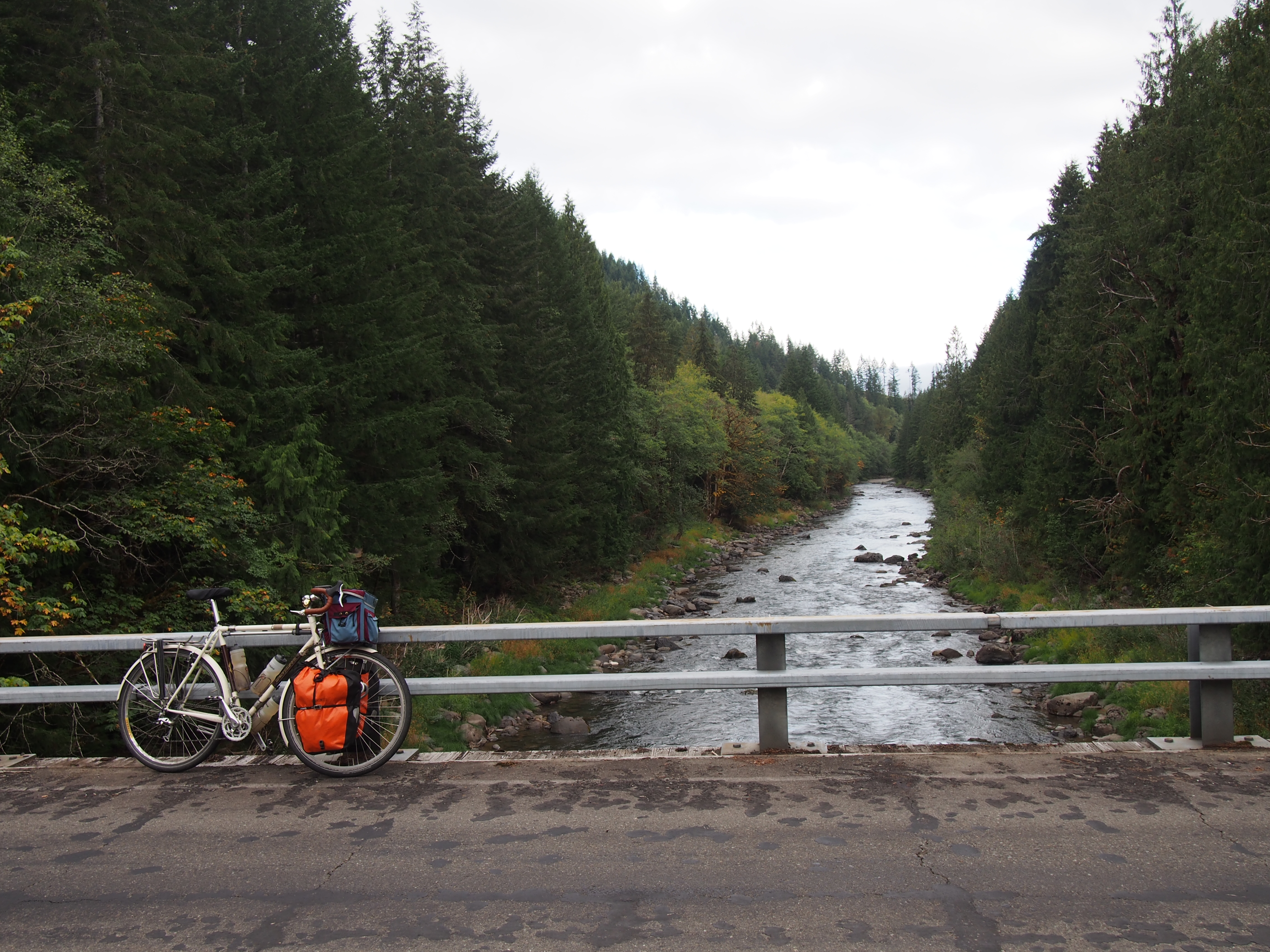
NF Development Road 25 Bridge Over Landslide
SR-131
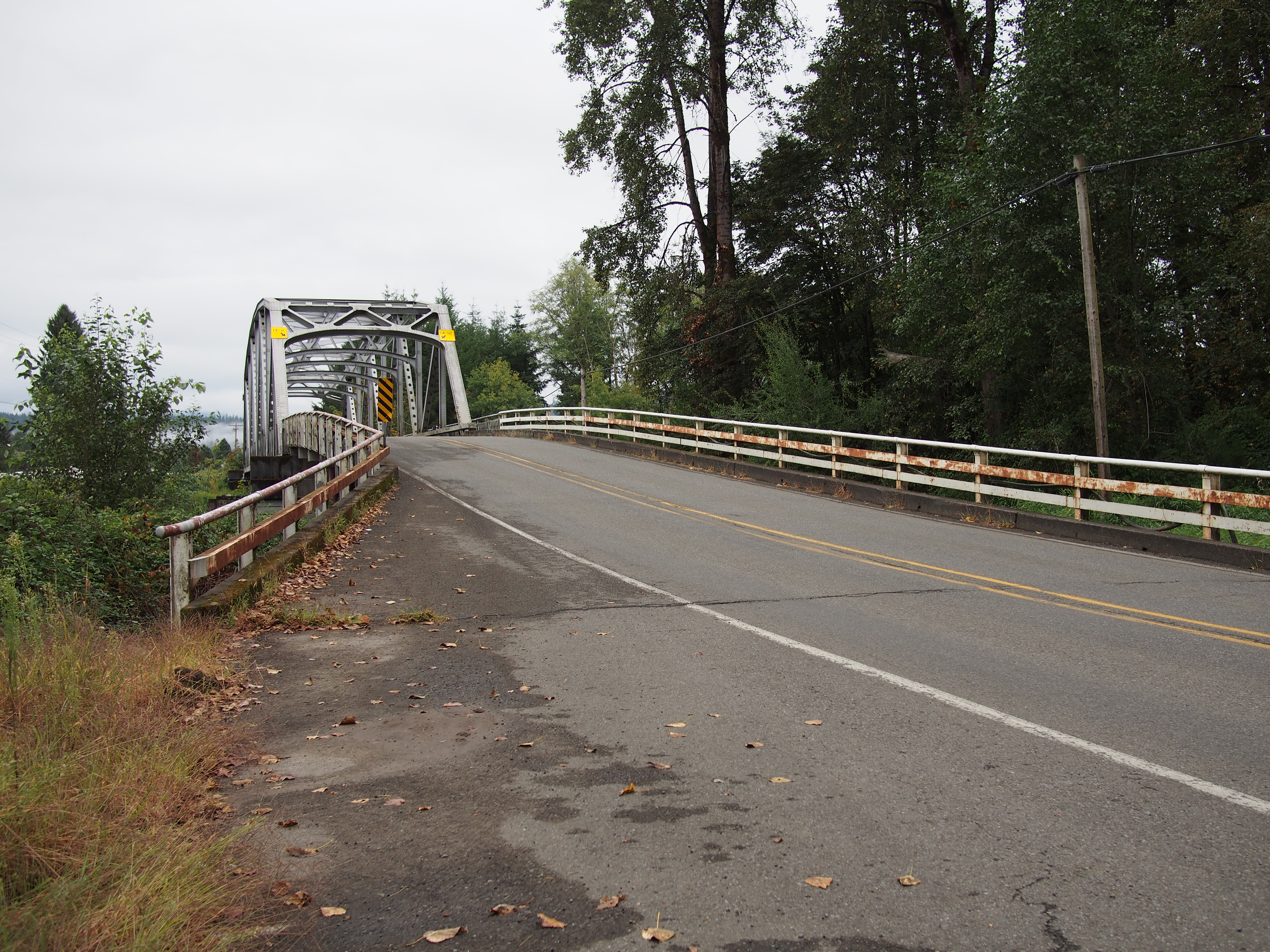
Cowlitz River Bridge
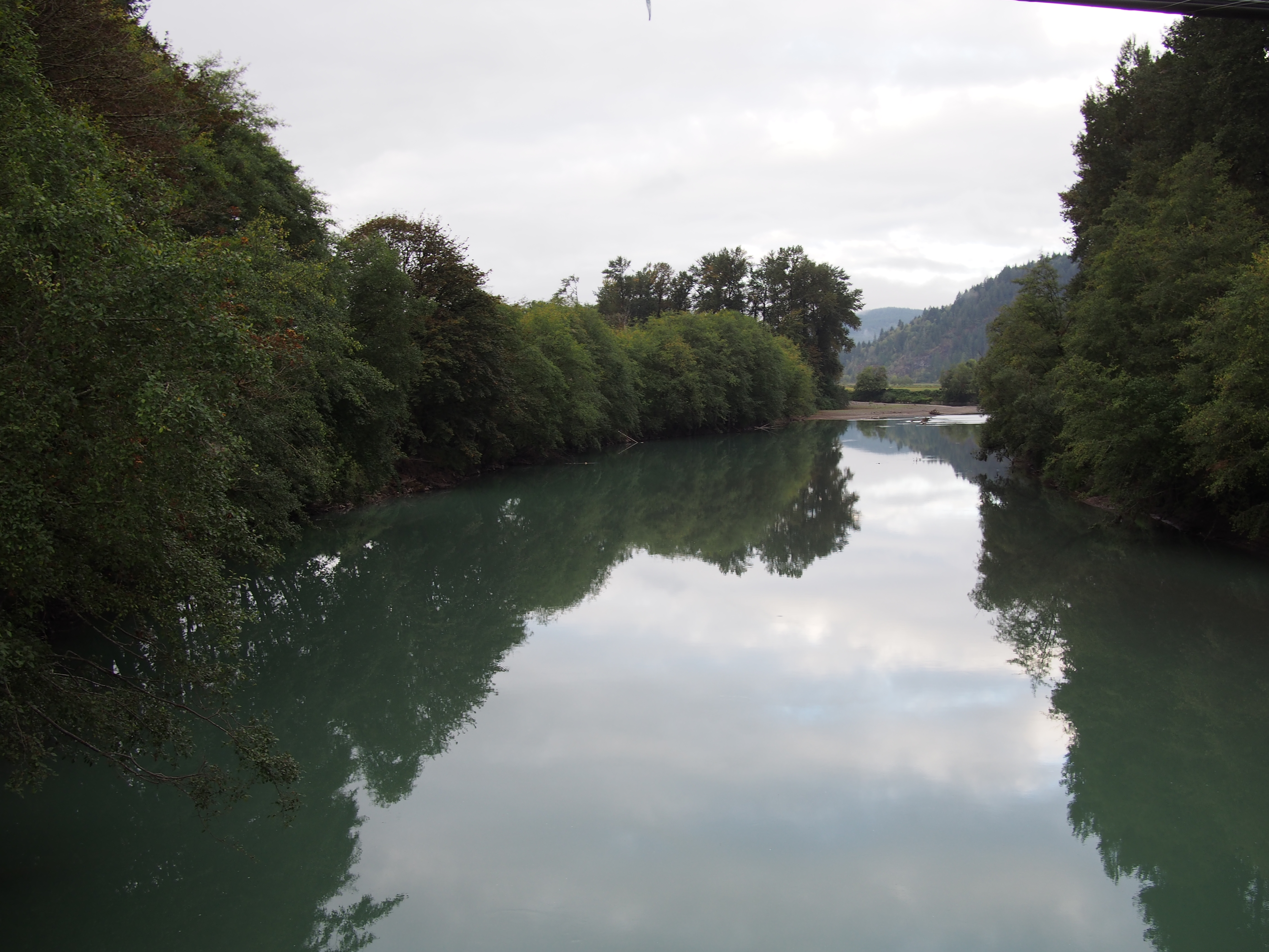
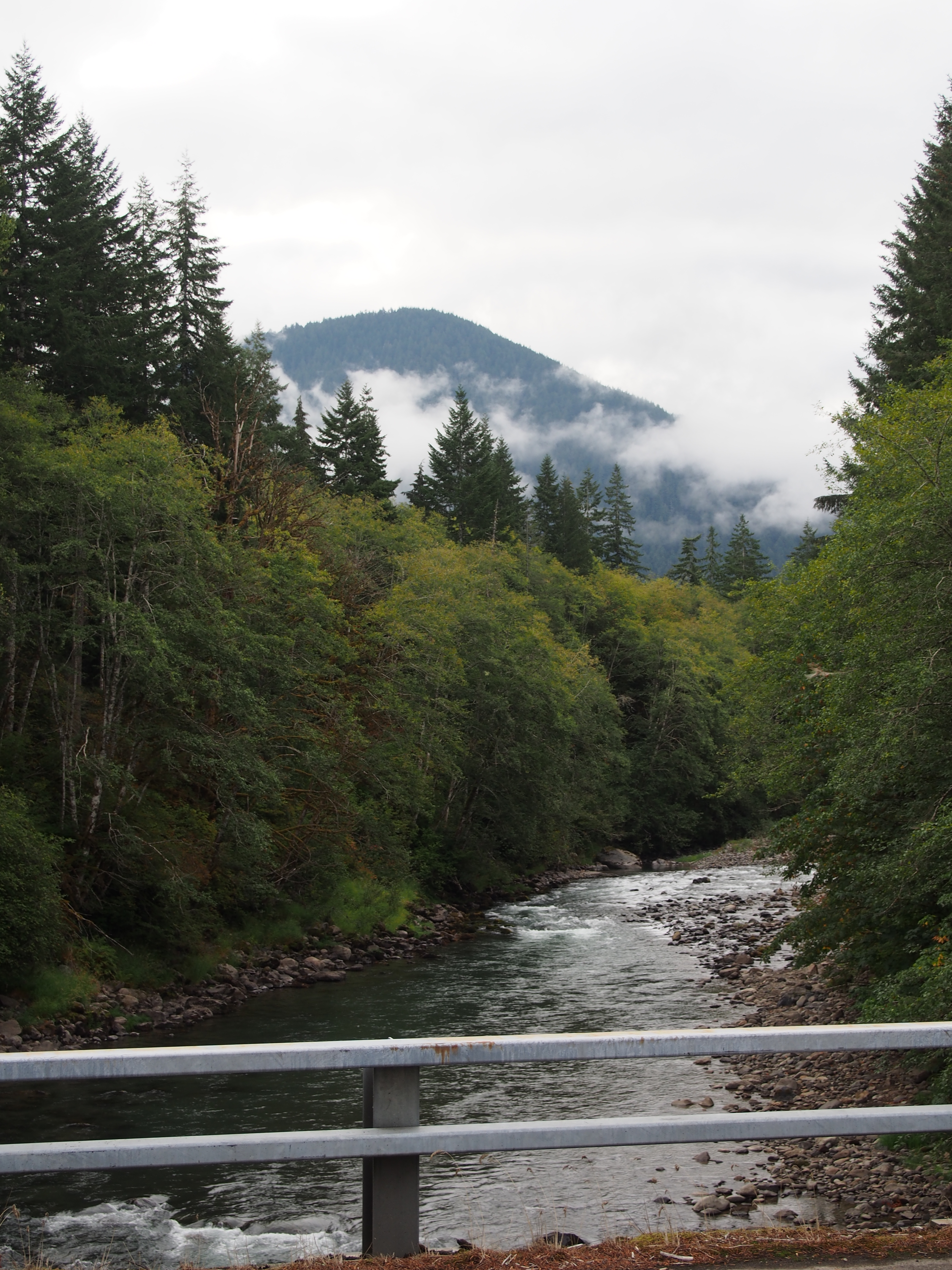
Cowlitz River
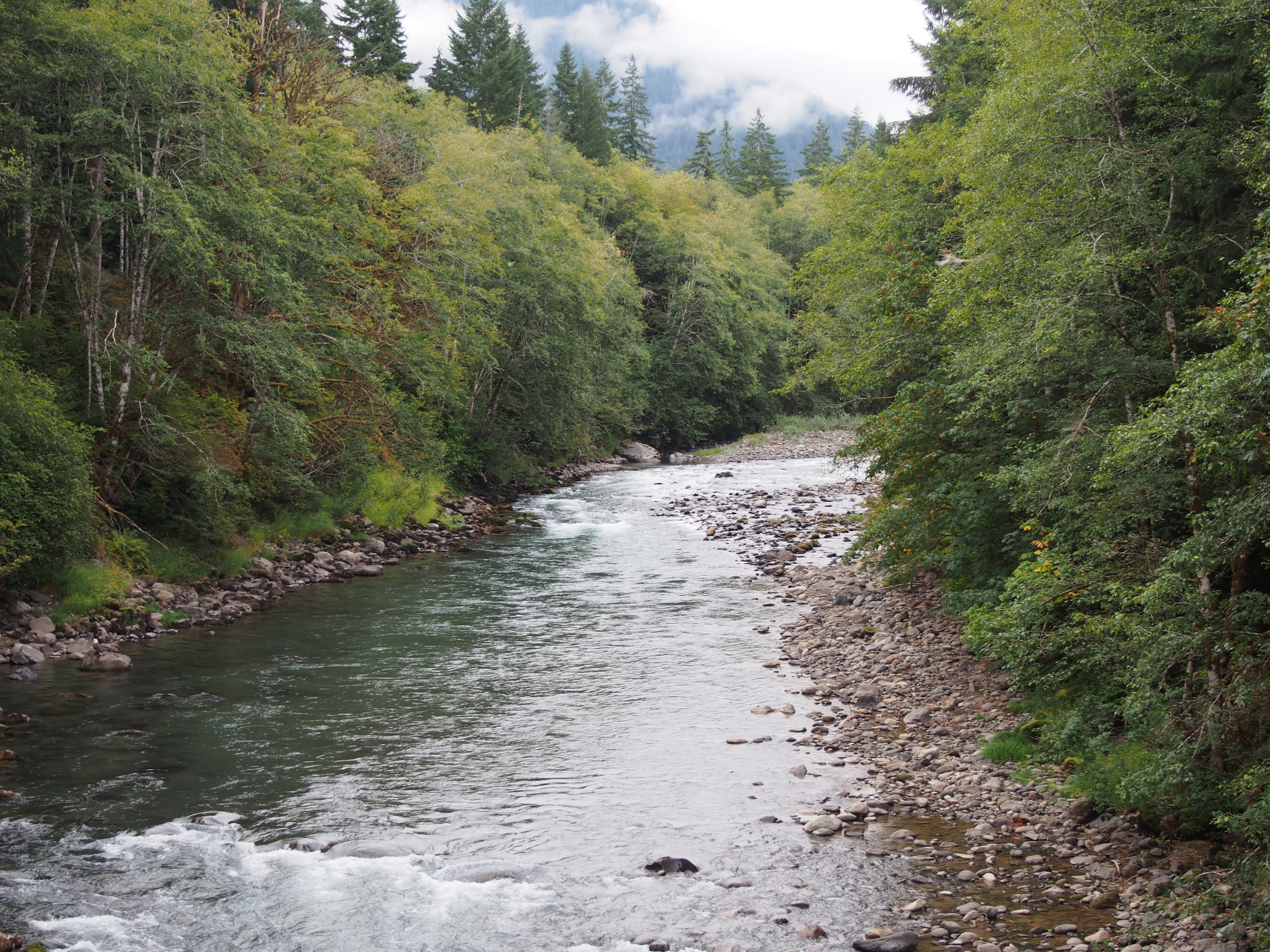
Cispus River
NF Development Road 25
Ivory Pass over Cispus River
Cispus River
NF Development Road 25
Mountain Over Cispus River

Iron Creek Campground
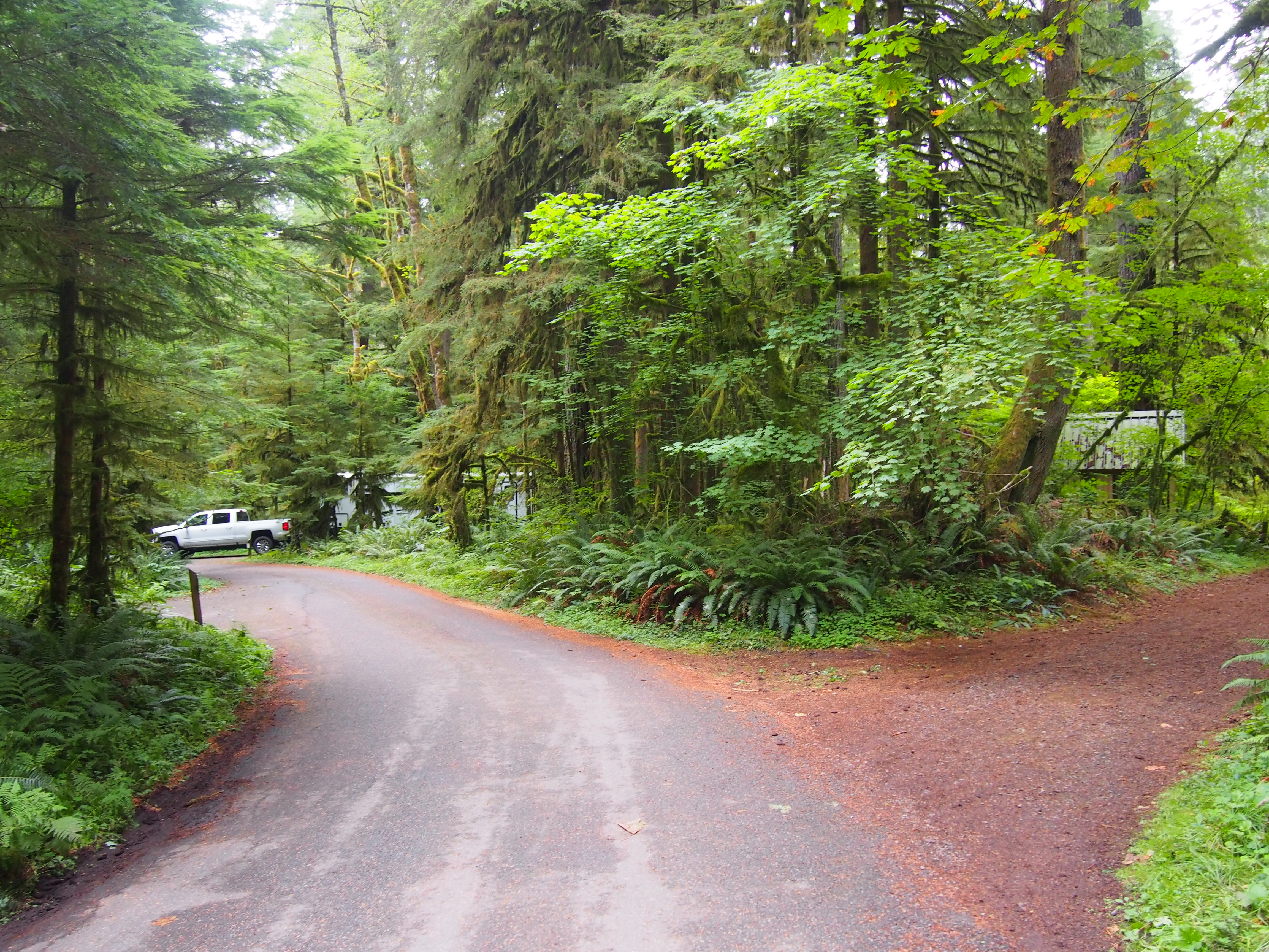
Iron Creek Campground
Ivory Pass at Iron Creek Campground
WA-, Randle, WA アメリカ合衆国の地図
別の場所を検索
近所の場所
WA-, Randle, WA アメリカ合衆国
Skinner Rd, Randle, WA アメリカ合衆国
Skinner Rd, Randle, WA アメリカ合衆国
アメリカ合衆国 〒 ワシントン州 ランドル
Silverbrook Rd, Randle, WA アメリカ合衆国
Boyd Rd, Mossyrock, WA アメリカ合衆国ボイド・ロード
Coleman Hill Rd, Randle, WA アメリカ合衆国
US-12, Randle, WA アメリカ合衆国
Savio Rd, Randle, WA アメリカ合衆国
US-12, Naches, WA アメリカ合衆国
US-12, Randle, WA アメリカ合衆国
Cropsey Dr, Randle, WA アメリカ合衆国
Cropsey Dr, Randle, WA アメリカ合衆国
Silverbrook Rd, Randle, WA アメリカ合衆国
Silverbrook Rd, Randle, WA アメリカ合衆国
Cropsey Dr, Randle, WA アメリカ合衆国
Silverbrook Rd, Randle, WA アメリカ合衆国
Randle, WA アメリカ合衆国タワー・ロック・キャンプグランド
Dorlynes Ln, Glenoma, WA アメリカ合衆国
US-12, Glenoma, WA アメリカ合衆国
最近の検索
- アメリカ合衆国 アラスカ州 レッド・ドッグ・マイン日の出日の入り時間
- Am bhf, Borken, ドイツアム・バーンホーフ日の出日の入り時間
- 4th St E, Sonoma, CA, USA日の出日の入り時間
- Oakland Ave, Williamsport, PA アメリカ合衆国日の出日の入り時間
- Via Roma, Pieranica CR, イタリアローマ通り日の出日の入り時間
- クロアチア 〒 ドゥブロブニク GradClock Tower of Dubrovnik日の出日の入り時間
- アルゼンチン チュブ州 トレリュー日の出日の入り時間
- Hartfords Bluff Cir, Mt Pleasant, SC アメリカ合衆国日の出日の入り時間
- 日本、熊本県熊本市北区日の出日の入り時間
- 中華人民共和国 福州市 平潭県 平潭島日の出日の入り時間