Uniontown Hwy, Van Buren, AR アメリカ合衆国日の出日の入り時間
Location: アメリカ合衆国 > アーカンソー州 > クロウフォード >
時間帯:
America/Chicago
現地時間:
2025-07-08 03:43:17
経度:
-94.3867294
緯度:
35.538741
今日の日の出時刻:
06:09:43 AM
今日の日の入時刻:
08:35:49 PM
今日の日長:
14h 26m 6s
明日の日の出時刻:
06:10:18 AM
明日の日の入時刻:
08:35:31 PM
明日の日長:
14h 25m 13s
すべて表示する
| 日付 | 日出 | 日没 | 日長 |
|---|---|---|---|
| 2025年01月01日 | 07:27:03 AM | 05:16:21 PM | 9h 49m 18s |
| 2025年01月02日 | 07:27:10 AM | 05:17:09 PM | 9h 49m 59s |
| 2025年01月03日 | 07:27:15 AM | 05:17:58 PM | 9h 50m 43s |
| 2025年01月04日 | 07:27:18 AM | 05:18:48 PM | 9h 51m 30s |
| 2025年01月05日 | 07:27:20 AM | 05:19:40 PM | 9h 52m 20s |
| 2025年01月06日 | 07:27:19 AM | 05:20:32 PM | 9h 53m 13s |
| 2025年01月07日 | 07:27:17 AM | 05:21:25 PM | 9h 54m 8s |
| 2025年01月08日 | 07:27:13 AM | 05:22:19 PM | 9h 55m 6s |
| 2025年01月09日 | 07:27:06 AM | 05:23:14 PM | 9h 56m 8s |
| 2025年01月10日 | 07:26:58 AM | 05:24:10 PM | 9h 57m 12s |
| 2025年01月11日 | 07:26:48 AM | 05:25:06 PM | 9h 58m 18s |
| 2025年01月12日 | 07:26:35 AM | 05:26:03 PM | 9h 59m 28s |
| 2025年01月13日 | 07:26:21 AM | 05:27:01 PM | 10h 0m 40s |
| 2025年01月14日 | 07:26:05 AM | 05:27:59 PM | 10h 1m 54s |
| 2025年01月15日 | 07:25:47 AM | 05:28:58 PM | 10h 3m 11s |
| 2025年01月16日 | 07:25:28 AM | 05:29:57 PM | 10h 4m 29s |
| 2025年01月17日 | 07:25:06 AM | 05:30:57 PM | 10h 5m 51s |
| 2025年01月18日 | 07:24:42 AM | 05:31:58 PM | 10h 7m 16s |
| 2025年01月19日 | 07:24:17 AM | 05:32:58 PM | 10h 8m 41s |
| 2025年01月20日 | 07:23:50 AM | 05:33:59 PM | 10h 10m 9s |
| 2025年01月21日 | 07:23:20 AM | 05:35:00 PM | 10h 11m 40s |
| 2025年01月22日 | 07:22:50 AM | 05:36:02 PM | 10h 13m 12s |
| 2025年01月23日 | 07:22:17 AM | 05:37:04 PM | 10h 14m 47s |
| 2025年01月24日 | 07:21:42 AM | 05:38:06 PM | 10h 16m 24s |
| 2025年01月25日 | 07:21:06 AM | 05:39:08 PM | 10h 18m 2s |
| 2025年01月26日 | 07:20:28 AM | 05:40:10 PM | 10h 19m 42s |
| 2025年01月27日 | 07:19:49 AM | 05:41:12 PM | 10h 21m 23s |
| 2025年01月28日 | 07:19:08 AM | 05:42:14 PM | 10h 23m 6s |
| 2025年01月29日 | 07:18:25 AM | 05:43:17 PM | 10h 24m 52s |
| 2025年01月30日 | 07:17:40 AM | 05:44:19 PM | 10h 26m 39s |
| 2025年01月31日 | 07:16:54 AM | 05:45:21 PM | 10h 28m 27s |
| 2025年02月01日 | 07:16:07 AM | 05:46:23 PM | 10h 30m 16s |
| 2025年02月02日 | 07:15:18 AM | 05:47:25 PM | 10h 32m 7s |
| 2025年02月03日 | 07:14:27 AM | 05:48:27 PM | 10h 34m 0s |
| 2025年02月04日 | 07:13:35 AM | 05:49:29 PM | 10h 35m 54s |
| 2025年02月05日 | 07:12:41 AM | 05:50:30 PM | 10h 37m 49s |
| 2025年02月06日 | 07:11:47 AM | 05:51:32 PM | 10h 39m 45s |
| 2025年02月07日 | 07:10:50 AM | 05:52:33 PM | 10h 41m 43s |
| 2025年02月08日 | 07:09:53 AM | 05:53:34 PM | 10h 43m 41s |
| 2025年02月09日 | 07:08:54 AM | 05:54:34 PM | 10h 45m 40s |
| 2025年02月10日 | 07:07:54 AM | 05:55:35 PM | 10h 47m 41s |
| 2025年02月11日 | 07:06:52 AM | 05:56:35 PM | 10h 49m 43s |
| 2025年02月12日 | 07:05:49 AM | 05:57:35 PM | 10h 51m 46s |
| 2025年02月13日 | 07:04:45 AM | 05:58:34 PM | 10h 53m 49s |
| 2025年02月14日 | 07:03:40 AM | 05:59:33 PM | 10h 55m 53s |
| 2025年02月15日 | 07:02:34 AM | 06:00:32 PM | 10h 57m 58s |
| 2025年02月16日 | 07:01:27 AM | 06:01:31 PM | 11h 0m 4s |
| 2025年02月17日 | 07:00:19 AM | 06:02:29 PM | 11h 2m 10s |
| 2025年02月18日 | 06:59:09 AM | 06:03:27 PM | 11h 4m 18s |
| 2025年02月19日 | 06:57:59 AM | 06:04:25 PM | 11h 6m 26s |
| 2025年02月20日 | 06:56:48 AM | 06:05:22 PM | 11h 8m 34s |
| 2025年02月21日 | 06:55:36 AM | 06:06:19 PM | 11h 10m 43s |
| 2025年02月22日 | 06:54:22 AM | 06:07:16 PM | 11h 12m 54s |
| 2025年02月23日 | 06:53:08 AM | 06:08:12 PM | 11h 15m 4s |
| 2025年02月24日 | 06:51:54 AM | 06:09:08 PM | 11h 17m 14s |
| 2025年02月25日 | 06:50:38 AM | 06:10:04 PM | 11h 19m 26s |
| 2025年02月26日 | 06:49:22 AM | 06:10:59 PM | 11h 21m 37s |
| 2025年02月27日 | 06:48:04 AM | 06:11:54 PM | 11h 23m 50s |
| 2025年02月28日 | 06:46:47 AM | 06:12:49 PM | 11h 26m 2s |
| 2025年03月01日 | 06:45:28 AM | 06:13:43 PM | 11h 28m 15s |
| 2025年03月02日 | 06:44:09 AM | 06:14:37 PM | 11h 30m 28s |
| 2025年03月03日 | 06:42:49 AM | 06:15:31 PM | 11h 32m 42s |
| 2025年03月04日 | 06:41:29 AM | 06:16:25 PM | 11h 34m 56s |
| 2025年03月05日 | 06:40:08 AM | 06:17:18 PM | 11h 37m 10s |
| 2025年03月06日 | 06:38:46 AM | 06:18:11 PM | 11h 39m 25s |
| 2025年03月07日 | 06:37:24 AM | 06:19:03 PM | 11h 41m 39s |
| 2025年03月08日 | 06:36:02 AM | 06:19:55 PM | 11h 43m 53s |
| 2025年03月09日 | 07:34:43 AM | 07:20:45 PM | 11h 46m 2s |
| 2025年03月10日 | 07:33:19 AM | 07:21:37 PM | 11h 48m 18s |
| 2025年03月11日 | 07:31:56 AM | 07:22:29 PM | 11h 50m 33s |
| 2025年03月12日 | 07:30:32 AM | 07:23:20 PM | 11h 52m 48s |
| 2025年03月13日 | 07:29:08 AM | 07:24:11 PM | 11h 55m 3s |
| 2025年03月14日 | 07:27:43 AM | 07:25:02 PM | 11h 57m 19s |
| 2025年03月15日 | 07:26:19 AM | 07:25:53 PM | 11h 59m 34s |
| 2025年03月16日 | 07:24:54 AM | 07:26:44 PM | 12h 1m 50s |
| 2025年03月17日 | 07:23:28 AM | 07:27:34 PM | 12h 4m 6s |
| 2025年03月18日 | 07:22:03 AM | 07:28:24 PM | 12h 6m 21s |
| 2025年03月19日 | 07:20:38 AM | 07:29:14 PM | 12h 8m 36s |
| 2025年03月20日 | 07:19:12 AM | 07:30:04 PM | 12h 10m 52s |
| 2025年03月21日 | 07:17:47 AM | 07:30:54 PM | 12h 13m 7s |
| 2025年03月22日 | 07:16:21 AM | 07:31:44 PM | 12h 15m 23s |
| 2025年03月23日 | 07:14:55 AM | 07:32:33 PM | 12h 17m 38s |
| 2025年03月24日 | 07:13:30 AM | 07:33:23 PM | 12h 19m 53s |
| 2025年03月25日 | 07:12:04 AM | 07:34:12 PM | 12h 22m 8s |
| 2025年03月26日 | 07:10:38 AM | 07:35:01 PM | 12h 24m 23s |
| 2025年03月27日 | 07:09:13 AM | 07:35:50 PM | 12h 26m 37s |
| 2025年03月28日 | 07:07:48 AM | 07:36:40 PM | 12h 28m 52s |
| 2025年03月29日 | 07:06:23 AM | 07:37:29 PM | 12h 31m 6s |
| 2025年03月30日 | 07:04:58 AM | 07:38:18 PM | 12h 33m 20s |
| 2025年03月31日 | 07:03:33 AM | 07:39:07 PM | 12h 35m 34s |
| 2025年04月01日 | 07:02:09 AM | 07:39:56 PM | 12h 37m 47s |
| 2025年04月02日 | 07:00:44 AM | 07:40:45 PM | 12h 40m 1s |
| 2025年04月03日 | 06:59:21 AM | 07:41:34 PM | 12h 42m 13s |
| 2025年04月04日 | 06:57:57 AM | 07:42:23 PM | 12h 44m 26s |
| 2025年04月05日 | 06:56:34 AM | 07:43:12 PM | 12h 46m 38s |
| 2025年04月06日 | 06:55:11 AM | 07:44:01 PM | 12h 48m 50s |
| 2025年04月07日 | 06:53:49 AM | 07:44:50 PM | 12h 51m 1s |
| 2025年04月08日 | 06:52:27 AM | 07:45:40 PM | 12h 53m 13s |
| 2025年04月09日 | 06:51:06 AM | 07:46:29 PM | 12h 55m 23s |
| 2025年04月10日 | 06:49:45 AM | 07:47:18 PM | 12h 57m 33s |
| 2025年04月11日 | 06:48:24 AM | 07:48:07 PM | 12h 59m 43s |
| 2025年04月12日 | 06:47:05 AM | 07:48:57 PM | 13h 1m 52s |
| 2025年04月13日 | 06:45:46 AM | 07:49:46 PM | 13h 4m 0s |
| 2025年04月14日 | 06:44:27 AM | 07:50:36 PM | 13h 6m 9s |
| 2025年04月15日 | 06:43:09 AM | 07:51:25 PM | 13h 8m 16s |
| 2025年04月16日 | 06:41:52 AM | 07:52:15 PM | 13h 10m 23s |
| 2025年04月17日 | 06:40:36 AM | 07:53:04 PM | 13h 12m 28s |
| 2025年04月18日 | 06:39:20 AM | 07:53:54 PM | 13h 14m 34s |
| 2025年04月19日 | 06:38:05 AM | 07:54:44 PM | 13h 16m 39s |
| 2025年04月20日 | 06:36:51 AM | 07:55:34 PM | 13h 18m 43s |
| 2025年04月21日 | 06:35:38 AM | 07:56:24 PM | 13h 20m 46s |
| 2025年04月22日 | 06:34:25 AM | 07:57:13 PM | 13h 22m 48s |
| 2025年04月23日 | 06:33:14 AM | 07:58:03 PM | 13h 24m 49s |
| 2025年04月24日 | 06:32:03 AM | 07:58:53 PM | 13h 26m 50s |
| 2025年04月25日 | 06:30:53 AM | 07:59:43 PM | 13h 28m 50s |
| 2025年04月26日 | 06:29:45 AM | 08:00:33 PM | 13h 30m 48s |
| 2025年04月27日 | 06:28:37 AM | 08:01:24 PM | 13h 32m 47s |
| 2025年04月28日 | 06:27:30 AM | 08:02:14 PM | 13h 34m 44s |
| 2025年04月29日 | 06:26:25 AM | 08:03:04 PM | 13h 36m 39s |
| 2025年04月30日 | 06:25:20 AM | 08:03:54 PM | 13h 38m 34s |
| 2025年05月01日 | 06:24:17 AM | 08:04:44 PM | 13h 40m 27s |
| 2025年05月02日 | 06:23:15 AM | 08:05:34 PM | 13h 42m 19s |
| 2025年05月03日 | 06:22:14 AM | 08:06:24 PM | 13h 44m 10s |
| 2025年05月04日 | 06:21:14 AM | 08:07:13 PM | 13h 45m 59s |
| 2025年05月05日 | 06:20:15 AM | 08:08:03 PM | 13h 47m 48s |
| 2025年05月06日 | 06:19:18 AM | 08:08:53 PM | 13h 49m 35s |
| 2025年05月07日 | 06:18:22 AM | 08:09:42 PM | 13h 51m 20s |
| 2025年05月08日 | 06:17:27 AM | 08:10:31 PM | 13h 53m 4s |
| 2025年05月09日 | 06:16:33 AM | 08:11:20 PM | 13h 54m 47s |
| 2025年05月10日 | 06:15:41 AM | 08:12:09 PM | 13h 56m 28s |
| 2025年05月11日 | 06:14:50 AM | 08:12:58 PM | 13h 58m 8s |
| 2025年05月12日 | 06:14:01 AM | 08:13:46 PM | 13h 59m 45s |
| 2025年05月13日 | 06:13:13 AM | 08:14:35 PM | 14h 1m 22s |
| 2025年05月14日 | 06:12:26 AM | 08:15:22 PM | 14h 2m 56s |
| 2025年05月15日 | 06:11:41 AM | 08:16:10 PM | 14h 4m 29s |
| 2025年05月16日 | 06:10:58 AM | 08:16:57 PM | 14h 5m 59s |
| 2025年05月17日 | 06:10:16 AM | 08:17:44 PM | 14h 7m 28s |
| 2025年05月18日 | 06:09:35 AM | 08:18:30 PM | 14h 8m 55s |
| 2025年05月19日 | 06:08:56 AM | 08:19:16 PM | 14h 10m 20s |
| 2025年05月20日 | 06:08:19 AM | 08:20:02 PM | 14h 11m 43s |
| 2025年05月21日 | 06:07:43 AM | 08:20:46 PM | 14h 13m 3s |
| 2025年05月22日 | 06:07:08 AM | 08:21:31 PM | 14h 14m 23s |
| 2025年05月23日 | 06:06:36 AM | 08:22:15 PM | 14h 15m 39s |
| 2025年05月24日 | 06:06:04 AM | 08:22:58 PM | 14h 16m 54s |
| 2025年05月25日 | 06:05:35 AM | 08:23:40 PM | 14h 18m 5s |
| 2025年05月26日 | 06:05:07 AM | 08:24:22 PM | 14h 19m 15s |
| 2025年05月27日 | 06:04:41 AM | 08:25:03 PM | 14h 20m 22s |
| 2025年05月28日 | 06:04:16 AM | 08:25:44 PM | 14h 21m 28s |
| 2025年05月29日 | 06:03:53 AM | 08:26:23 PM | 14h 22m 30s |
| 2025年05月30日 | 06:03:32 AM | 08:27:02 PM | 14h 23m 30s |
| 2025年05月31日 | 06:03:13 AM | 08:27:40 PM | 14h 24m 27s |
| 2025年06月01日 | 06:02:55 AM | 08:28:17 PM | 14h 25m 22s |
| 2025年06月02日 | 06:02:38 AM | 08:28:53 PM | 14h 26m 15s |
| 2025年06月03日 | 06:02:24 AM | 08:29:28 PM | 14h 27m 4s |
| 2025年06月04日 | 06:02:11 AM | 08:30:02 PM | 14h 27m 51s |
| 2025年06月05日 | 06:02:00 AM | 08:30:35 PM | 14h 28m 35s |
| 2025年06月06日 | 06:01:51 AM | 08:31:07 PM | 14h 29m 16s |
| 2025年06月07日 | 06:01:43 AM | 08:31:38 PM | 14h 29m 55s |
| 2025年06月08日 | 06:01:37 AM | 08:32:07 PM | 14h 30m 30s |
| 2025年06月09日 | 06:01:32 AM | 08:32:36 PM | 14h 31m 4s |
| 2025年06月10日 | 06:01:29 AM | 08:33:03 PM | 14h 31m 34s |
| 2025年06月11日 | 06:01:28 AM | 08:33:29 PM | 14h 32m 1s |
| 2025年06月12日 | 06:01:29 AM | 08:33:53 PM | 14h 32m 24s |
| 2025年06月13日 | 06:01:31 AM | 08:34:17 PM | 14h 32m 46s |
| 2025年06月14日 | 06:01:34 AM | 08:34:39 PM | 14h 33m 5s |
| 2025年06月15日 | 06:01:39 AM | 08:34:59 PM | 14h 33m 20s |
| 2025年06月16日 | 06:01:46 AM | 08:35:18 PM | 14h 33m 32s |
| 2025年06月17日 | 06:01:55 AM | 08:35:36 PM | 14h 33m 41s |
| 2025年06月18日 | 06:02:05 AM | 08:35:52 PM | 14h 33m 47s |
| 2025年06月19日 | 06:02:16 AM | 08:36:07 PM | 14h 33m 51s |
| 2025年06月20日 | 06:02:29 AM | 08:36:21 PM | 14h 33m 52s |
| 2025年06月21日 | 06:02:43 AM | 08:36:32 PM | 14h 33m 49s |
| 2025年06月22日 | 06:02:59 AM | 08:36:42 PM | 14h 33m 43s |
| 2025年06月23日 | 06:03:16 AM | 08:36:51 PM | 14h 33m 35s |
| 2025年06月24日 | 06:03:35 AM | 08:36:58 PM | 14h 33m 23s |
| 2025年06月25日 | 06:03:55 AM | 08:37:03 PM | 14h 33m 8s |
| 2025年06月26日 | 06:04:16 AM | 08:37:07 PM | 14h 32m 51s |
| 2025年06月27日 | 06:04:38 AM | 08:37:09 PM | 14h 32m 31s |
| 2025年06月28日 | 06:05:02 AM | 08:37:09 PM | 14h 32m 7s |
| 2025年06月29日 | 06:05:27 AM | 08:37:08 PM | 14h 31m 41s |
| 2025年06月30日 | 06:05:53 AM | 08:37:05 PM | 14h 31m 12s |
| 2025年07月01日 | 06:06:21 AM | 08:37:00 PM | 14h 30m 39s |
| 2025年07月02日 | 06:06:49 AM | 08:36:54 PM | 14h 30m 5s |
| 2025年07月03日 | 06:07:19 AM | 08:36:46 PM | 14h 29m 27s |
| 2025年07月04日 | 06:07:49 AM | 08:36:36 PM | 14h 28m 47s |
| 2025年07月05日 | 06:08:21 AM | 08:36:25 PM | 14h 28m 4s |
| 2025年07月06日 | 06:08:54 AM | 08:36:11 PM | 14h 27m 17s |
| 2025年07月07日 | 06:09:27 AM | 08:35:56 PM | 14h 26m 29s |
| 2025年07月08日 | 06:10:02 AM | 08:35:40 PM | 14h 25m 38s |
| 2025年07月09日 | 06:10:37 AM | 08:35:21 PM | 14h 24m 44s |
| 2025年07月10日 | 06:11:13 AM | 08:35:01 PM | 14h 23m 48s |
| 2025年07月11日 | 06:11:50 AM | 08:34:39 PM | 14h 22m 49s |
| 2025年07月12日 | 06:12:28 AM | 08:34:16 PM | 14h 21m 48s |
| 2025年07月13日 | 06:13:07 AM | 08:33:50 PM | 14h 20m 43s |
| 2025年07月14日 | 06:13:46 AM | 08:33:24 PM | 14h 19m 38s |
| 2025年07月15日 | 06:14:26 AM | 08:32:55 PM | 14h 18m 29s |
| 2025年07月16日 | 06:15:06 AM | 08:32:25 PM | 14h 17m 19s |
| 2025年07月17日 | 06:15:47 AM | 08:31:53 PM | 14h 16m 6s |
| 2025年07月18日 | 06:16:29 AM | 08:31:19 PM | 14h 14m 50s |
| 2025年07月19日 | 06:17:11 AM | 08:30:44 PM | 14h 13m 33s |
| 2025年07月20日 | 06:17:53 AM | 08:30:07 PM | 14h 12m 14s |
| 2025年07月21日 | 06:18:37 AM | 08:29:29 PM | 14h 10m 52s |
| 2025年07月22日 | 06:19:20 AM | 08:28:49 PM | 14h 9m 29s |
| 2025年07月23日 | 06:20:04 AM | 08:28:07 PM | 14h 8m 3s |
| 2025年07月24日 | 06:20:48 AM | 08:27:24 PM | 14h 6m 36s |
| 2025年07月25日 | 06:21:33 AM | 08:26:39 PM | 14h 5m 6s |
| 2025年07月26日 | 06:22:18 AM | 08:25:53 PM | 14h 3m 35s |
| 2025年07月27日 | 06:23:03 AM | 08:25:05 PM | 14h 2m 2s |
| 2025年07月28日 | 06:23:48 AM | 08:24:16 PM | 14h 0m 28s |
| 2025年07月29日 | 06:24:34 AM | 08:23:26 PM | 13h 58m 52s |
| 2025年07月30日 | 06:25:20 AM | 08:22:34 PM | 13h 57m 14s |
| 2025年07月31日 | 06:26:06 AM | 08:21:41 PM | 13h 55m 35s |
| 2025年08月01日 | 06:26:52 AM | 08:20:46 PM | 13h 53m 54s |
| 2025年08月02日 | 06:27:38 AM | 08:19:50 PM | 13h 52m 12s |
| 2025年08月03日 | 06:28:25 AM | 08:18:52 PM | 13h 50m 27s |
| 2025年08月04日 | 06:29:11 AM | 08:17:54 PM | 13h 48m 43s |
| 2025年08月05日 | 06:29:58 AM | 08:16:54 PM | 13h 46m 56s |
| 2025年08月06日 | 06:30:44 AM | 08:15:53 PM | 13h 45m 9s |
| 2025年08月07日 | 06:31:31 AM | 08:14:50 PM | 13h 43m 19s |
| 2025年08月08日 | 06:32:18 AM | 08:13:47 PM | 13h 41m 29s |
| 2025年08月09日 | 06:33:04 AM | 08:12:42 PM | 13h 39m 38s |
| 2025年08月10日 | 06:33:51 AM | 08:11:36 PM | 13h 37m 45s |
| 2025年08月11日 | 06:34:38 AM | 08:10:29 PM | 13h 35m 51s |
| 2025年08月12日 | 06:35:24 AM | 08:09:21 PM | 13h 33m 57s |
| 2025年08月13日 | 06:36:11 AM | 08:08:12 PM | 13h 32m 1s |
| 2025年08月14日 | 06:36:57 AM | 08:07:02 PM | 13h 30m 5s |
| 2025年08月15日 | 06:37:44 AM | 08:05:51 PM | 13h 28m 7s |
| 2025年08月16日 | 06:38:30 AM | 08:04:39 PM | 13h 26m 9s |
| 2025年08月17日 | 06:39:17 AM | 08:03:26 PM | 13h 24m 9s |
| 2025年08月18日 | 06:40:03 AM | 08:02:12 PM | 13h 22m 9s |
| 2025年08月19日 | 06:40:49 AM | 08:00:57 PM | 13h 20m 8s |
| 2025年08月20日 | 06:41:35 AM | 07:59:41 PM | 13h 18m 6s |
| 2025年08月21日 | 06:42:21 AM | 07:58:25 PM | 13h 16m 4s |
| 2025年08月22日 | 06:43:07 AM | 07:57:07 PM | 13h 14m 0s |
| 2025年08月23日 | 06:43:53 AM | 07:55:49 PM | 13h 11m 56s |
| 2025年08月24日 | 06:44:39 AM | 07:54:31 PM | 13h 9m 52s |
| 2025年08月25日 | 06:45:24 AM | 07:53:11 PM | 13h 7m 47s |
| 2025年08月26日 | 06:46:10 AM | 07:51:51 PM | 13h 5m 41s |
| 2025年08月27日 | 06:46:55 AM | 07:50:30 PM | 13h 3m 35s |
| 2025年08月28日 | 06:47:41 AM | 07:49:09 PM | 13h 1m 28s |
| 2025年08月29日 | 06:48:26 AM | 07:47:46 PM | 12h 59m 20s |
| 2025年08月30日 | 06:49:11 AM | 07:46:24 PM | 12h 57m 13s |
| 2025年08月31日 | 06:49:56 AM | 07:45:01 PM | 12h 55m 5s |
| 2025年09月01日 | 06:50:41 AM | 07:43:37 PM | 12h 52m 56s |
| 2025年09月02日 | 06:51:26 AM | 07:42:13 PM | 12h 50m 47s |
| 2025年09月03日 | 06:52:11 AM | 07:40:48 PM | 12h 48m 37s |
| 2025年09月04日 | 06:52:56 AM | 07:39:23 PM | 12h 46m 27s |
| 2025年09月05日 | 06:53:41 AM | 07:37:58 PM | 12h 44m 17s |
| 2025年09月06日 | 06:54:26 AM | 07:36:32 PM | 12h 42m 6s |
| 2025年09月07日 | 06:55:11 AM | 07:35:06 PM | 12h 39m 55s |
| 2025年09月08日 | 06:55:55 AM | 07:33:39 PM | 12h 37m 44s |
| 2025年09月09日 | 06:56:40 AM | 07:32:13 PM | 12h 35m 33s |
| 2025年09月10日 | 06:57:25 AM | 07:30:46 PM | 12h 33m 21s |
| 2025年09月11日 | 06:58:10 AM | 07:29:18 PM | 12h 31m 8s |
| 2025年09月12日 | 06:58:55 AM | 07:27:51 PM | 12h 28m 56s |
| 2025年09月13日 | 06:59:39 AM | 07:26:23 PM | 12h 26m 44s |
| 2025年09月14日 | 07:00:24 AM | 07:24:56 PM | 12h 24m 32s |
| 2025年09月15日 | 07:01:09 AM | 07:23:28 PM | 12h 22m 19s |
| 2025年09月16日 | 07:01:54 AM | 07:22:00 PM | 12h 20m 6s |
| 2025年09月17日 | 07:02:39 AM | 07:20:32 PM | 12h 17m 53s |
| 2025年09月18日 | 07:03:24 AM | 07:19:04 PM | 12h 15m 40s |
| 2025年09月19日 | 07:04:10 AM | 07:17:36 PM | 12h 13m 26s |
| 2025年09月20日 | 07:04:55 AM | 07:16:08 PM | 12h 11m 13s |
| 2025年09月21日 | 07:05:41 AM | 07:14:40 PM | 12h 8m 59s |
| 2025年09月22日 | 07:06:26 AM | 07:13:12 PM | 12h 6m 46s |
| 2025年09月23日 | 07:07:12 AM | 07:11:45 PM | 12h 4m 33s |
| 2025年09月24日 | 07:07:58 AM | 07:10:17 PM | 12h 2m 19s |
| 2025年09月25日 | 07:08:44 AM | 07:08:50 PM | 12h 0m 6s |
| 2025年09月26日 | 07:09:30 AM | 07:07:23 PM | 11h 57m 53s |
| 2025年09月27日 | 07:10:17 AM | 07:05:56 PM | 11h 55m 39s |
| 2025年09月28日 | 07:11:04 AM | 07:04:29 PM | 11h 53m 25s |
| 2025年09月29日 | 07:11:50 AM | 07:03:03 PM | 11h 51m 13s |
| 2025年09月30日 | 07:12:38 AM | 07:01:37 PM | 11h 48m 59s |
| 2025年10月01日 | 07:13:25 AM | 07:00:11 PM | 11h 46m 46s |
| 2025年10月02日 | 07:14:13 AM | 06:58:46 PM | 11h 44m 33s |
| 2025年10月03日 | 07:15:01 AM | 06:57:21 PM | 11h 42m 20s |
| 2025年10月04日 | 07:15:49 AM | 06:55:57 PM | 11h 40m 8s |
| 2025年10月05日 | 07:16:37 AM | 06:54:33 PM | 11h 37m 56s |
| 2025年10月06日 | 07:17:26 AM | 06:53:10 PM | 11h 35m 44s |
| 2025年10月07日 | 07:18:15 AM | 06:51:47 PM | 11h 33m 32s |
| 2025年10月08日 | 07:19:04 AM | 06:50:24 PM | 11h 31m 20s |
| 2025年10月09日 | 07:19:54 AM | 06:49:03 PM | 11h 29m 9s |
| 2025年10月10日 | 07:20:44 AM | 06:47:42 PM | 11h 26m 58s |
| 2025年10月11日 | 07:21:34 AM | 06:46:21 PM | 11h 24m 47s |
| 2025年10月12日 | 07:22:25 AM | 06:45:01 PM | 11h 22m 36s |
| 2025年10月13日 | 07:23:16 AM | 06:43:42 PM | 11h 20m 26s |
| 2025年10月14日 | 07:24:07 AM | 06:42:24 PM | 11h 18m 17s |
| 2025年10月15日 | 07:24:59 AM | 06:41:07 PM | 11h 16m 8s |
| 2025年10月16日 | 07:25:51 AM | 06:39:50 PM | 11h 13m 59s |
| 2025年10月17日 | 07:26:44 AM | 06:38:34 PM | 11h 11m 50s |
| 2025年10月18日 | 07:27:36 AM | 06:37:19 PM | 11h 9m 43s |
| 2025年10月19日 | 07:28:29 AM | 06:36:05 PM | 11h 7m 36s |
| 2025年10月20日 | 07:29:23 AM | 06:34:52 PM | 11h 5m 29s |
| 2025年10月21日 | 07:30:17 AM | 06:33:40 PM | 11h 3m 23s |
| 2025年10月22日 | 07:31:11 AM | 06:32:29 PM | 11h 1m 18s |
| 2025年10月23日 | 07:32:06 AM | 06:31:19 PM | 10h 59m 13s |
| 2025年10月24日 | 07:33:01 AM | 06:30:10 PM | 10h 57m 9s |
| 2025年10月25日 | 07:33:56 AM | 06:29:02 PM | 10h 55m 6s |
| 2025年10月26日 | 07:34:51 AM | 06:27:55 PM | 10h 53m 4s |
| 2025年10月27日 | 07:35:47 AM | 06:26:49 PM | 10h 51m 2s |
| 2025年10月28日 | 07:36:44 AM | 06:25:45 PM | 10h 49m 1s |
| 2025年10月29日 | 07:37:40 AM | 06:24:42 PM | 10h 47m 2s |
| 2025年10月30日 | 07:38:37 AM | 06:23:40 PM | 10h 45m 3s |
| 2025年10月31日 | 07:39:34 AM | 06:22:39 PM | 10h 43m 5s |
| 2025年11月01日 | 07:40:32 AM | 06:21:40 PM | 10h 41m 8s |
| 2025年11月02日 | 06:41:32 AM | 05:20:39 PM | 10h 39m 7s |
| 2025年11月03日 | 06:42:30 AM | 05:19:43 PM | 10h 37m 13s |
| 2025年11月04日 | 06:43:28 AM | 05:18:48 PM | 10h 35m 20s |
| 2025年11月05日 | 06:44:27 AM | 05:17:54 PM | 10h 33m 27s |
| 2025年11月06日 | 06:45:26 AM | 05:17:02 PM | 10h 31m 36s |
| 2025年11月07日 | 06:46:24 AM | 05:16:11 PM | 10h 29m 47s |
| 2025年11月08日 | 06:47:23 AM | 05:15:22 PM | 10h 27m 59s |
| 2025年11月09日 | 06:48:23 AM | 05:14:35 PM | 10h 26m 12s |
| 2025年11月10日 | 06:49:22 AM | 05:13:49 PM | 10h 24m 27s |
| 2025年11月11日 | 06:50:21 AM | 05:13:04 PM | 10h 22m 43s |
| 2025年11月12日 | 06:51:21 AM | 05:12:21 PM | 10h 21m 0s |
| 2025年11月13日 | 06:52:20 AM | 05:11:40 PM | 10h 19m 20s |
| 2025年11月14日 | 06:53:19 AM | 05:11:01 PM | 10h 17m 42s |
| 2025年11月15日 | 06:54:19 AM | 05:10:23 PM | 10h 16m 4s |
| 2025年11月16日 | 06:55:18 AM | 05:09:48 PM | 10h 14m 30s |
| 2025年11月17日 | 06:56:17 AM | 05:09:13 PM | 10h 12m 56s |
| 2025年11月18日 | 06:57:16 AM | 05:08:41 PM | 10h 11m 25s |
| 2025年11月19日 | 06:58:15 AM | 05:08:11 PM | 10h 9m 56s |
| 2025年11月20日 | 06:59:14 AM | 05:07:42 PM | 10h 8m 28s |
| 2025年11月21日 | 07:00:12 AM | 05:07:15 PM | 10h 7m 3s |
| 2025年11月22日 | 07:01:10 AM | 05:06:50 PM | 10h 5m 40s |
| 2025年11月23日 | 07:02:08 AM | 05:06:27 PM | 10h 4m 19s |
| 2025年11月24日 | 07:03:05 AM | 05:06:06 PM | 10h 3m 1s |
| 2025年11月25日 | 07:04:02 AM | 05:05:47 PM | 10h 1m 45s |
| 2025年11月26日 | 07:04:58 AM | 05:05:30 PM | 10h 0m 32s |
| 2025年11月27日 | 07:05:54 AM | 05:05:15 PM | 9h 59m 21s |
| 2025年11月28日 | 07:06:49 AM | 05:05:01 PM | 9h 58m 12s |
| 2025年11月29日 | 07:07:44 AM | 05:04:50 PM | 9h 57m 6s |
| 2025年11月30日 | 07:08:38 AM | 05:04:41 PM | 9h 56m 3s |
| 2025年12月01日 | 07:09:31 AM | 05:04:33 PM | 9h 55m 2s |
| 2025年12月02日 | 07:10:24 AM | 05:04:28 PM | 9h 54m 4s |
| 2025年12月03日 | 07:11:16 AM | 05:04:24 PM | 9h 53m 8s |
| 2025年12月04日 | 07:12:07 AM | 05:04:23 PM | 9h 52m 16s |
| 2025年12月05日 | 07:12:56 AM | 05:04:23 PM | 9h 51m 27s |
| 2025年12月06日 | 07:13:45 AM | 05:04:26 PM | 9h 50m 41s |
| 2025年12月07日 | 07:14:34 AM | 05:04:30 PM | 9h 49m 56s |
| 2025年12月08日 | 07:15:20 AM | 05:04:37 PM | 9h 49m 17s |
| 2025年12月09日 | 07:16:06 AM | 05:04:45 PM | 9h 48m 39s |
| 2025年12月10日 | 07:16:51 AM | 05:04:56 PM | 9h 48m 5s |
| 2025年12月11日 | 07:17:35 AM | 05:05:08 PM | 9h 47m 33s |
| 2025年12月12日 | 07:18:17 AM | 05:05:22 PM | 9h 47m 5s |
| 2025年12月13日 | 07:18:58 AM | 05:05:38 PM | 9h 46m 40s |
| 2025年12月14日 | 07:19:38 AM | 05:05:57 PM | 9h 46m 19s |
| 2025年12月15日 | 07:20:16 AM | 05:06:16 PM | 9h 46m 0s |
| 2025年12月16日 | 07:20:53 AM | 05:06:38 PM | 9h 45m 45s |
| 2025年12月17日 | 07:21:28 AM | 05:07:02 PM | 9h 45m 34s |
| 2025年12月18日 | 07:22:02 AM | 05:07:27 PM | 9h 45m 25s |
| 2025年12月19日 | 07:22:34 AM | 05:07:54 PM | 9h 45m 20s |
| 2025年12月20日 | 07:23:05 AM | 05:08:23 PM | 9h 45m 18s |
| 2025年12月21日 | 07:23:34 AM | 05:08:53 PM | 9h 45m 19s |
| 2025年12月22日 | 07:24:02 AM | 05:09:25 PM | 9h 45m 23s |
| 2025年12月23日 | 07:24:28 AM | 05:09:59 PM | 9h 45m 31s |
| 2025年12月24日 | 07:24:52 AM | 05:10:35 PM | 9h 45m 43s |
| 2025年12月25日 | 07:25:14 AM | 05:11:11 PM | 9h 45m 57s |
| 2025年12月26日 | 07:25:35 AM | 05:11:50 PM | 9h 46m 15s |
| 2025年12月27日 | 07:25:54 AM | 05:12:30 PM | 9h 46m 36s |
| 2025年12月28日 | 07:26:11 AM | 05:13:11 PM | 9h 47m 0s |
| 2025年12月29日 | 07:26:26 AM | 05:13:54 PM | 9h 47m 28s |
| 2025年12月30日 | 07:26:39 AM | 05:14:38 PM | 9h 47m 59s |
| 2025年12月31日 | 07:26:51 AM | 05:15:23 PM | 9h 48m 32s |
写真

Natural Dam 1

Drone Sunset

The Way Back at Lee Creek Reservoir
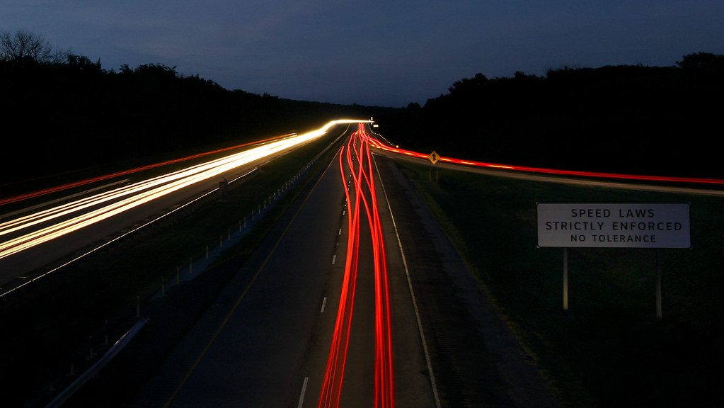
oncoming traffic

Low Water Bridge

Low Water Bridge

Midyard Sunset

Incoming Clouds

For Kim

the natural dam

Peaceful Downtown Sunrise

Sailor Take Warning: Take II

Natural Dam 2

Drone Sunset

Backyard Winter Sunset

Off into the Sunset.

Sailors Take Warning: Take I.

Sunset Silhouette

The Artist's Hand

February Sky

Van Buren Sunrise

Natural Dam at sunrise

Milkway in Arkansas

Natural Dam revisited

Pecan Winter

Double Sunrise

Natural Dam before sunrise

Sunnyside Snowscape

Natural Dam

Sunrise in the backyard
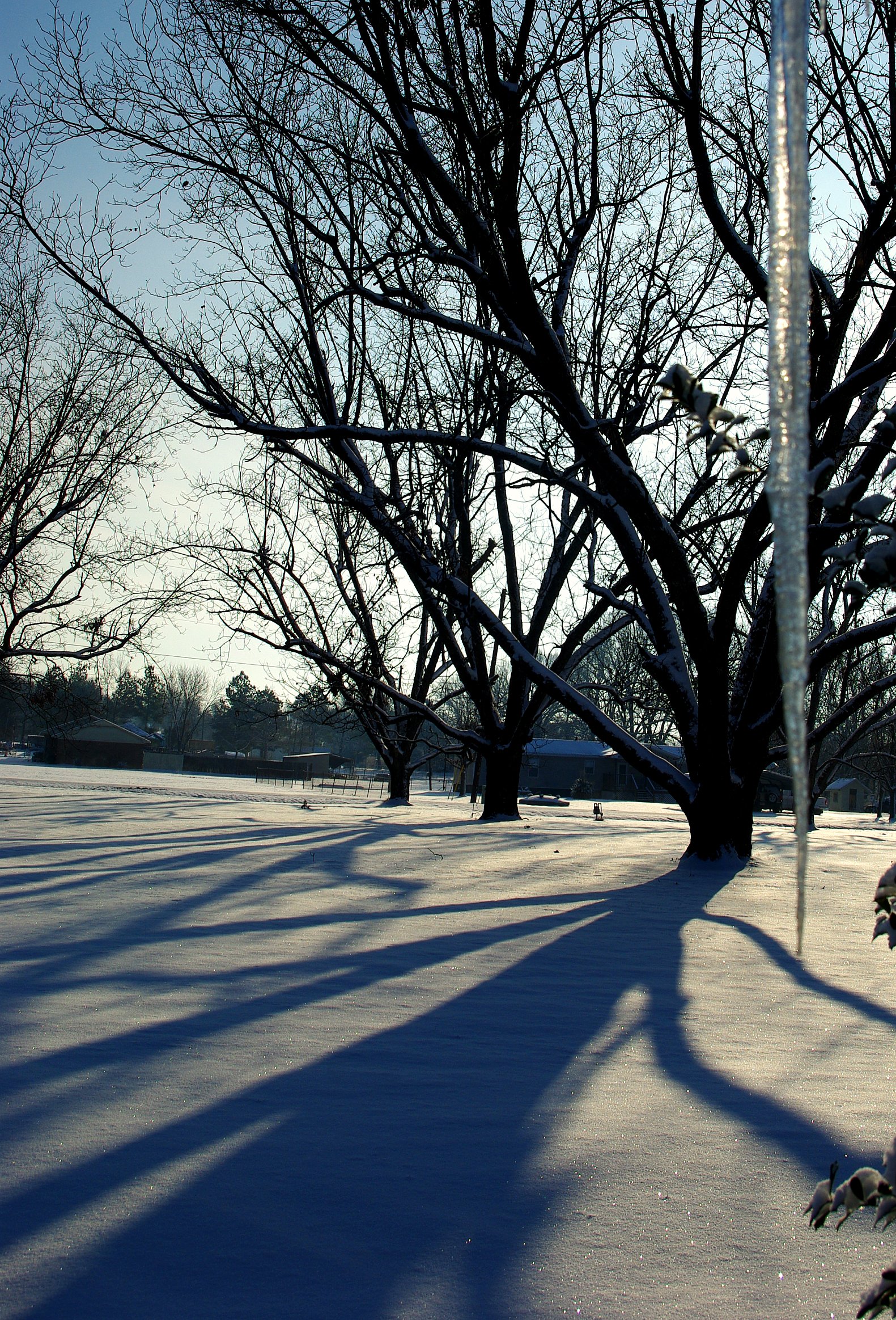
'Cicles and Shadows

Winter Sunrise

Fall Sunrise

November Morning

Sailor Take Warning: Take IV; Hawk
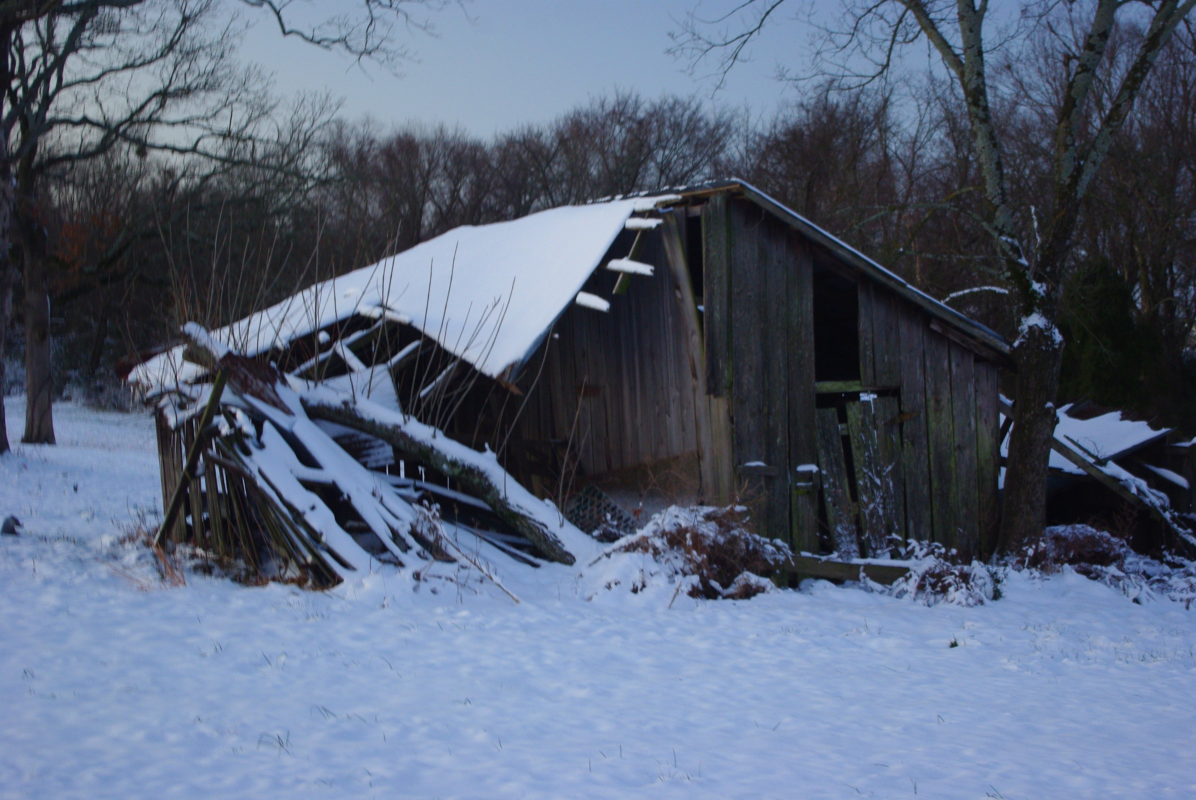
Age Takes All, Winter version

#sunriseweather #sunriseview #sunrise #oklahoma
Uniontown Hwy, Van Buren, AR アメリカ合衆国の地図
別の場所を検索
近所の場所
AR-59, Cedarville, AR アメリカ合衆国
アメリカ合衆国 アーカンソー州 セダービル
Pine Hollow Rd, Van Buren, AR アメリカ合衆国
アメリカ合衆国 アーカンソー州 セダービル
Kristi Ln, Van Buren, AR アメリカ合衆国
Biswell Rd, Van Buren, AR アメリカ合衆国
アメリカ合衆国 アーカンソー州 ユニオンタウン・タウンシップ
Somerset Way, Van Buren, AR アメリカ合衆国
アメリカ合衆国 アーカンソー州 クロウフォード
アメリカ合衆国 アーカンソー州 オリバー・スプリングス
Azure Hills Dr, Van Buren, AR アメリカ合衆国
Bond Special Rd, Van Buren, AR アメリカ合衆国
Hobbtown Rd, Rudy, AR アメリカ合衆国
8 Sherwood St, Van Buren, AR アメリカ合衆国
アメリカ合衆国 アーカンソー州 ドラ
Dora Rd, Van Buren, AR アメリカ合衆国
Woodrow St, Van Buren, AR アメリカ合衆国ウッドロー・ストリート
Williams Ln, Fort Smith, AR アメリカ合衆国
アメリカ合衆国 〒 アーカンソー州 バン・ビューレン
Peaceful Home Rd, Natural Dam, AR アメリカ合衆国
最近の検索
- アメリカ合衆国 アラスカ州 レッド・ドッグ・マイン日の出日の入り時間
- Am bhf, Borken, ドイツアム・バーンホーフ日の出日の入り時間
- 4th St E, Sonoma, CA, USA日の出日の入り時間
- Oakland Ave, Williamsport, PA アメリカ合衆国日の出日の入り時間
- Via Roma, Pieranica CR, イタリアローマ通り日の出日の入り時間
- クロアチア 〒 ドゥブロブニク GradClock Tower of Dubrovnik日の出日の入り時間
- アルゼンチン チュブ州 トレリュー日の出日の入り時間
- Hartfords Bluff Cir, Mt Pleasant, SC アメリカ合衆国日の出日の入り時間
- 日本、熊本県熊本市北区日の出日の入り時間
- 中華人民共和国 福州市 平潭県 平潭島日の出日の入り時間