アメリカ合衆国 〒 モンタナ州 ツイン・ピークス日の出日の入り時間
Location: アメリカ合衆国 > モンタナ州 > MT アメリカ合衆国 >
時間帯:
America/Denver
現地時間:
2025-06-18 15:39:52
経度:
-109.889346
緯度:
45.2513298
今日の日の出時刻:
05:31:32 AM
今日の日の入時刻:
09:10:40 PM
今日の日長:
15h 39m 8s
明日の日の出時刻:
05:31:44 AM
明日の日の入時刻:
09:10:54 PM
明日の日長:
15h 39m 10s
すべて表示する
| 日付 | 日出 | 日没 | 日長 |
|---|---|---|---|
| 2025年01月01日 | 07:58:36 AM | 04:48:53 PM | 8h 50m 17s |
| 2025年01月02日 | 07:58:33 AM | 04:49:51 PM | 8h 51m 18s |
| 2025年01月03日 | 07:58:28 AM | 04:50:51 PM | 8h 52m 23s |
| 2025年01月04日 | 07:58:20 AM | 04:51:53 PM | 8h 53m 33s |
| 2025年01月05日 | 07:58:09 AM | 04:52:56 PM | 8h 54m 47s |
| 2025年01月06日 | 07:57:56 AM | 04:54:01 PM | 8h 56m 5s |
| 2025年01月07日 | 07:57:40 AM | 04:55:08 PM | 8h 57m 28s |
| 2025年01月08日 | 07:57:21 AM | 04:56:16 PM | 8h 58m 55s |
| 2025年01月09日 | 07:57:00 AM | 04:57:25 PM | 9h 0m 25s |
| 2025年01月10日 | 07:56:36 AM | 04:58:36 PM | 9h 2m 0s |
| 2025年01月11日 | 07:56:10 AM | 04:59:49 PM | 9h 3m 39s |
| 2025年01月12日 | 07:55:41 AM | 05:01:02 PM | 9h 5m 21s |
| 2025年01月13日 | 07:55:10 AM | 05:02:17 PM | 9h 7m 7s |
| 2025年01月14日 | 07:54:36 AM | 05:03:33 PM | 9h 8m 57s |
| 2025年01月15日 | 07:54:00 AM | 05:04:50 PM | 9h 10m 50s |
| 2025年01月16日 | 07:53:22 AM | 05:06:08 PM | 9h 12m 46s |
| 2025年01月17日 | 07:52:41 AM | 05:07:27 PM | 9h 14m 46s |
| 2025年01月18日 | 07:51:58 AM | 05:08:47 PM | 9h 16m 49s |
| 2025年01月19日 | 07:51:12 AM | 05:10:07 PM | 9h 18m 55s |
| 2025年01月20日 | 07:50:24 AM | 05:11:29 PM | 9h 21m 5s |
| 2025年01月21日 | 07:49:34 AM | 05:12:51 PM | 9h 23m 17s |
| 2025年01月22日 | 07:48:42 AM | 05:14:14 PM | 9h 25m 32s |
| 2025年01月23日 | 07:47:47 AM | 05:15:37 PM | 9h 27m 50s |
| 2025年01月24日 | 07:46:51 AM | 05:17:01 PM | 9h 30m 10s |
| 2025年01月25日 | 07:45:52 AM | 05:18:25 PM | 9h 32m 33s |
| 2025年01月26日 | 07:44:51 AM | 05:19:50 PM | 9h 34m 59s |
| 2025年01月27日 | 07:43:49 AM | 05:21:16 PM | 9h 37m 27s |
| 2025年01月28日 | 07:42:44 AM | 05:22:41 PM | 9h 39m 57s |
| 2025年01月29日 | 07:41:37 AM | 05:24:07 PM | 9h 42m 30s |
| 2025年01月30日 | 07:40:29 AM | 05:25:33 PM | 9h 45m 4s |
| 2025年01月31日 | 07:39:18 AM | 05:27:00 PM | 9h 47m 42s |
| 2025年02月01日 | 07:38:06 AM | 05:28:26 PM | 9h 50m 20s |
| 2025年02月02日 | 07:36:52 AM | 05:29:53 PM | 9h 53m 1s |
| 2025年02月03日 | 07:35:37 AM | 05:31:20 PM | 9h 55m 43s |
| 2025年02月04日 | 07:34:19 AM | 05:32:46 PM | 9h 58m 27s |
| 2025年02月05日 | 07:33:00 AM | 05:34:13 PM | 10h 1m 13s |
| 2025年02月06日 | 07:31:40 AM | 05:35:40 PM | 10h 4m 0s |
| 2025年02月07日 | 07:30:18 AM | 05:37:07 PM | 10h 6m 49s |
| 2025年02月08日 | 07:28:54 AM | 05:38:34 PM | 10h 9m 40s |
| 2025年02月09日 | 07:27:29 AM | 05:40:00 PM | 10h 12m 31s |
| 2025年02月10日 | 07:26:02 AM | 05:41:27 PM | 10h 15m 25s |
| 2025年02月11日 | 07:24:34 AM | 05:42:54 PM | 10h 18m 20s |
| 2025年02月12日 | 07:23:05 AM | 05:44:20 PM | 10h 21m 15s |
| 2025年02月13日 | 07:21:34 AM | 05:45:46 PM | 10h 24m 12s |
| 2025年02月14日 | 07:20:03 AM | 05:47:12 PM | 10h 27m 9s |
| 2025年02月15日 | 07:18:30 AM | 05:48:38 PM | 10h 30m 8s |
| 2025年02月16日 | 07:16:55 AM | 05:50:03 PM | 10h 33m 8s |
| 2025年02月17日 | 07:15:20 AM | 05:51:29 PM | 10h 36m 9s |
| 2025年02月18日 | 07:13:43 AM | 05:52:54 PM | 10h 39m 11s |
| 2025年02月19日 | 07:12:06 AM | 05:54:19 PM | 10h 42m 13s |
| 2025年02月20日 | 07:10:27 AM | 05:55:43 PM | 10h 45m 16s |
| 2025年02月21日 | 07:08:47 AM | 05:57:07 PM | 10h 48m 20s |
| 2025年02月22日 | 07:07:07 AM | 05:58:31 PM | 10h 51m 24s |
| 2025年02月23日 | 07:05:25 AM | 05:59:55 PM | 10h 54m 30s |
| 2025年02月24日 | 07:03:43 AM | 06:01:19 PM | 10h 57m 36s |
| 2025年02月25日 | 07:02:00 AM | 06:02:42 PM | 11h 0m 42s |
| 2025年02月26日 | 07:00:15 AM | 06:04:05 PM | 11h 3m 50s |
| 2025年02月27日 | 06:58:31 AM | 06:05:27 PM | 11h 6m 56s |
| 2025年02月28日 | 06:56:45 AM | 06:06:50 PM | 11h 10m 5s |
| 2025年03月01日 | 06:54:59 AM | 06:08:12 PM | 11h 13m 13s |
| 2025年03月02日 | 06:53:12 AM | 06:09:34 PM | 11h 16m 22s |
| 2025年03月03日 | 06:51:24 AM | 06:10:55 PM | 11h 19m 31s |
| 2025年03月04日 | 06:49:36 AM | 06:12:16 PM | 11h 22m 40s |
| 2025年03月05日 | 06:47:47 AM | 06:13:37 PM | 11h 25m 50s |
| 2025年03月06日 | 06:45:58 AM | 06:14:58 PM | 11h 29m 0s |
| 2025年03月07日 | 06:44:08 AM | 06:16:19 PM | 11h 32m 11s |
| 2025年03月08日 | 06:42:17 AM | 06:17:39 PM | 11h 35m 22s |
| 2025年03月09日 | 07:40:31 AM | 07:18:55 PM | 11h 38m 24s |
| 2025年03月10日 | 07:38:40 AM | 07:20:15 PM | 11h 41m 35s |
| 2025年03月11日 | 07:36:49 AM | 07:21:35 PM | 11h 44m 46s |
| 2025年03月12日 | 07:34:57 AM | 07:22:54 PM | 11h 47m 57s |
| 2025年03月13日 | 07:33:04 AM | 07:24:13 PM | 11h 51m 9s |
| 2025年03月14日 | 07:31:12 AM | 07:25:32 PM | 11h 54m 20s |
| 2025年03月15日 | 07:29:19 AM | 07:26:51 PM | 11h 57m 32s |
| 2025年03月16日 | 07:27:26 AM | 07:28:09 PM | 12h 0m 43s |
| 2025年03月17日 | 07:25:33 AM | 07:29:27 PM | 12h 3m 54s |
| 2025年03月18日 | 07:23:40 AM | 07:30:46 PM | 12h 7m 6s |
| 2025年03月19日 | 07:21:47 AM | 07:32:03 PM | 12h 10m 16s |
| 2025年03月20日 | 07:19:53 AM | 07:33:21 PM | 12h 13m 28s |
| 2025年03月21日 | 07:18:00 AM | 07:34:39 PM | 12h 16m 39s |
| 2025年03月22日 | 07:16:06 AM | 07:35:57 PM | 12h 19m 51s |
| 2025年03月23日 | 07:14:12 AM | 07:37:14 PM | 12h 23m 2s |
| 2025年03月24日 | 07:12:19 AM | 07:38:31 PM | 12h 26m 12s |
| 2025年03月25日 | 07:10:25 AM | 07:39:49 PM | 12h 29m 24s |
| 2025年03月26日 | 07:08:32 AM | 07:41:06 PM | 12h 32m 34s |
| 2025年03月27日 | 07:06:39 AM | 07:42:23 PM | 12h 35m 44s |
| 2025年03月28日 | 07:04:46 AM | 07:43:40 PM | 12h 38m 54s |
| 2025年03月29日 | 07:02:53 AM | 07:44:57 PM | 12h 42m 4s |
| 2025年03月30日 | 07:01:00 AM | 07:46:14 PM | 12h 45m 14s |
| 2025年03月31日 | 06:59:08 AM | 07:47:31 PM | 12h 48m 23s |
| 2025年04月01日 | 06:57:15 AM | 07:48:47 PM | 12h 51m 32s |
| 2025年04月02日 | 06:55:24 AM | 07:50:04 PM | 12h 54m 40s |
| 2025年04月03日 | 06:53:32 AM | 07:51:21 PM | 12h 57m 49s |
| 2025年04月04日 | 06:51:41 AM | 07:52:38 PM | 13h 0m 57s |
| 2025年04月05日 | 06:49:50 AM | 07:53:54 PM | 13h 4m 4s |
| 2025年04月06日 | 06:48:00 AM | 07:55:11 PM | 13h 7m 11s |
| 2025年04月07日 | 06:46:10 AM | 07:56:28 PM | 13h 10m 18s |
| 2025年04月08日 | 06:44:21 AM | 07:57:44 PM | 13h 13m 23s |
| 2025年04月09日 | 06:42:32 AM | 07:59:01 PM | 13h 16m 29s |
| 2025年04月10日 | 06:40:44 AM | 08:00:18 PM | 13h 19m 34s |
| 2025年04月11日 | 06:38:56 AM | 08:01:34 PM | 13h 22m 38s |
| 2025年04月12日 | 06:37:09 AM | 08:02:51 PM | 13h 25m 42s |
| 2025年04月13日 | 06:35:23 AM | 08:04:07 PM | 13h 28m 44s |
| 2025年04月14日 | 06:33:37 AM | 08:05:24 PM | 13h 31m 47s |
| 2025年04月15日 | 06:31:53 AM | 08:06:41 PM | 13h 34m 48s |
| 2025年04月16日 | 06:30:08 AM | 08:07:57 PM | 13h 37m 49s |
| 2025年04月17日 | 06:28:25 AM | 08:09:14 PM | 13h 40m 49s |
| 2025年04月18日 | 06:26:43 AM | 08:10:30 PM | 13h 43m 47s |
| 2025年04月19日 | 06:25:01 AM | 08:11:47 PM | 13h 46m 46s |
| 2025年04月20日 | 06:23:20 AM | 08:13:03 PM | 13h 49m 43s |
| 2025年04月21日 | 06:21:41 AM | 08:14:20 PM | 13h 52m 39s |
| 2025年04月22日 | 06:20:02 AM | 08:15:36 PM | 13h 55m 34s |
| 2025年04月23日 | 06:18:24 AM | 08:16:53 PM | 13h 58m 29s |
| 2025年04月24日 | 06:16:47 AM | 08:18:09 PM | 14h 1m 22s |
| 2025年04月25日 | 06:15:12 AM | 08:19:25 PM | 14h 4m 13s |
| 2025年04月26日 | 06:13:37 AM | 08:20:41 PM | 14h 7m 4s |
| 2025年04月27日 | 06:12:04 AM | 08:21:57 PM | 14h 9m 53s |
| 2025年04月28日 | 06:10:32 AM | 08:23:12 PM | 14h 12m 40s |
| 2025年04月29日 | 06:09:01 AM | 08:24:28 PM | 14h 15m 27s |
| 2025年04月30日 | 06:07:31 AM | 08:25:43 PM | 14h 18m 12s |
| 2025年05月01日 | 06:06:02 AM | 08:26:58 PM | 14h 20m 56s |
| 2025年05月02日 | 06:04:35 AM | 08:28:13 PM | 14h 23m 38s |
| 2025年05月03日 | 06:03:10 AM | 08:29:28 PM | 14h 26m 18s |
| 2025年05月04日 | 06:01:45 AM | 08:30:42 PM | 14h 28m 57s |
| 2025年05月05日 | 06:00:22 AM | 08:31:56 PM | 14h 31m 34s |
| 2025年05月06日 | 05:59:01 AM | 08:33:10 PM | 14h 34m 9s |
| 2025年05月07日 | 05:57:41 AM | 08:34:23 PM | 14h 36m 42s |
| 2025年05月08日 | 05:56:23 AM | 08:35:36 PM | 14h 39m 13s |
| 2025年05月09日 | 05:55:06 AM | 08:36:49 PM | 14h 41m 43s |
| 2025年05月10日 | 05:53:51 AM | 08:38:00 PM | 14h 44m 9s |
| 2025年05月11日 | 05:52:38 AM | 08:39:12 PM | 14h 46m 34s |
| 2025年05月12日 | 05:51:26 AM | 08:40:23 PM | 14h 48m 57s |
| 2025年05月13日 | 05:50:16 AM | 08:41:33 PM | 14h 51m 17s |
| 2025年05月14日 | 05:49:08 AM | 08:42:43 PM | 14h 53m 35s |
| 2025年05月15日 | 05:48:01 AM | 08:43:52 PM | 14h 55m 51s |
| 2025年05月16日 | 05:46:57 AM | 08:45:00 PM | 14h 58m 3s |
| 2025年05月17日 | 05:45:54 AM | 08:46:07 PM | 15h 0m 13s |
| 2025年05月18日 | 05:44:53 AM | 08:47:14 PM | 15h 2m 21s |
| 2025年05月19日 | 05:43:54 AM | 08:48:20 PM | 15h 4m 26s |
| 2025年05月20日 | 05:42:57 AM | 08:49:25 PM | 15h 6m 28s |
| 2025年05月21日 | 05:42:03 AM | 08:50:29 PM | 15h 8m 26s |
| 2025年05月22日 | 05:41:10 AM | 08:51:31 PM | 15h 10m 21s |
| 2025年05月23日 | 05:40:19 AM | 08:52:33 PM | 15h 12m 14s |
| 2025年05月24日 | 05:39:30 AM | 08:53:34 PM | 15h 14m 4s |
| 2025年05月25日 | 05:38:44 AM | 08:54:34 PM | 15h 15m 50s |
| 2025年05月26日 | 05:37:59 AM | 08:55:32 PM | 15h 17m 33s |
| 2025年05月27日 | 05:37:17 AM | 08:56:30 PM | 15h 19m 13s |
| 2025年05月28日 | 05:36:37 AM | 08:57:25 PM | 15h 20m 48s |
| 2025年05月29日 | 05:35:59 AM | 08:58:20 PM | 15h 22m 21s |
| 2025年05月30日 | 05:35:24 AM | 08:59:13 PM | 15h 23m 49s |
| 2025年05月31日 | 05:34:50 AM | 09:00:05 PM | 15h 25m 15s |
| 2025年06月01日 | 05:34:19 AM | 09:00:55 PM | 15h 26m 36s |
| 2025年06月02日 | 05:33:51 AM | 09:01:44 PM | 15h 27m 53s |
| 2025年06月03日 | 05:33:24 AM | 09:02:31 PM | 15h 29m 7s |
| 2025年06月04日 | 05:33:00 AM | 09:03:16 PM | 15h 30m 16s |
| 2025年06月05日 | 05:32:38 AM | 09:04:00 PM | 15h 31m 22s |
| 2025年06月06日 | 05:32:19 AM | 09:04:42 PM | 15h 32m 23s |
| 2025年06月07日 | 05:32:02 AM | 09:05:22 PM | 15h 33m 20s |
| 2025年06月08日 | 05:31:47 AM | 09:06:00 PM | 15h 34m 13s |
| 2025年06月09日 | 05:31:34 AM | 09:06:37 PM | 15h 35m 3s |
| 2025年06月10日 | 05:31:24 AM | 09:07:11 PM | 15h 35m 47s |
| 2025年06月11日 | 05:31:17 AM | 09:07:44 PM | 15h 36m 27s |
| 2025年06月12日 | 05:31:11 AM | 09:08:14 PM | 15h 37m 3s |
| 2025年06月13日 | 05:31:08 AM | 09:08:43 PM | 15h 37m 35s |
| 2025年06月14日 | 05:31:07 AM | 09:09:09 PM | 15h 38m 2s |
| 2025年06月15日 | 05:31:09 AM | 09:09:33 PM | 15h 38m 24s |
| 2025年06月16日 | 05:31:13 AM | 09:09:55 PM | 15h 38m 42s |
| 2025年06月17日 | 05:31:19 AM | 09:10:15 PM | 15h 38m 56s |
| 2025年06月18日 | 05:31:28 AM | 09:10:33 PM | 15h 39m 5s |
| 2025年06月19日 | 05:31:38 AM | 09:10:48 PM | 15h 39m 10s |
| 2025年06月20日 | 05:31:51 AM | 09:11:01 PM | 15h 39m 10s |
| 2025年06月21日 | 05:32:07 AM | 09:11:12 PM | 15h 39m 5s |
| 2025年06月22日 | 05:32:24 AM | 09:11:21 PM | 15h 38m 57s |
| 2025年06月23日 | 05:32:43 AM | 09:11:27 PM | 15h 38m 44s |
| 2025年06月24日 | 05:33:05 AM | 09:11:31 PM | 15h 38m 26s |
| 2025年06月25日 | 05:33:29 AM | 09:11:33 PM | 15h 38m 4s |
| 2025年06月26日 | 05:33:54 AM | 09:11:32 PM | 15h 37m 38s |
| 2025年06月27日 | 05:34:22 AM | 09:11:28 PM | 15h 37m 6s |
| 2025年06月28日 | 05:34:52 AM | 09:11:23 PM | 15h 36m 31s |
| 2025年06月29日 | 05:35:24 AM | 09:11:15 PM | 15h 35m 51s |
| 2025年06月30日 | 05:35:57 AM | 09:11:04 PM | 15h 35m 7s |
| 2025年07月01日 | 05:36:33 AM | 09:10:52 PM | 15h 34m 19s |
| 2025年07月02日 | 05:37:10 AM | 09:10:36 PM | 15h 33m 26s |
| 2025年07月03日 | 05:37:49 AM | 09:10:19 PM | 15h 32m 30s |
| 2025年07月04日 | 05:38:30 AM | 09:09:59 PM | 15h 31m 29s |
| 2025年07月05日 | 05:39:12 AM | 09:09:36 PM | 15h 30m 24s |
| 2025年07月06日 | 05:39:56 AM | 09:09:12 PM | 15h 29m 16s |
| 2025年07月07日 | 05:40:42 AM | 09:08:45 PM | 15h 28m 3s |
| 2025年07月08日 | 05:41:29 AM | 09:08:15 PM | 15h 26m 46s |
| 2025年07月09日 | 05:42:18 AM | 09:07:43 PM | 15h 25m 25s |
| 2025年07月10日 | 05:43:08 AM | 09:07:09 PM | 15h 24m 1s |
| 2025年07月11日 | 05:43:59 AM | 09:06:33 PM | 15h 22m 34s |
| 2025年07月12日 | 05:44:52 AM | 09:05:54 PM | 15h 21m 2s |
| 2025年07月13日 | 05:45:46 AM | 09:05:14 PM | 15h 19m 28s |
| 2025年07月14日 | 05:46:41 AM | 09:04:31 PM | 15h 17m 50s |
| 2025年07月15日 | 05:47:37 AM | 09:03:45 PM | 15h 16m 8s |
| 2025年07月16日 | 05:48:35 AM | 09:02:58 PM | 15h 14m 23s |
| 2025年07月17日 | 05:49:33 AM | 09:02:08 PM | 15h 12m 35s |
| 2025年07月18日 | 05:50:33 AM | 09:01:17 PM | 15h 10m 44s |
| 2025年07月19日 | 05:51:34 AM | 09:00:23 PM | 15h 8m 49s |
| 2025年07月20日 | 05:52:35 AM | 08:59:27 PM | 15h 6m 52s |
| 2025年07月21日 | 05:53:38 AM | 08:58:29 PM | 15h 4m 51s |
| 2025年07月22日 | 05:54:41 AM | 08:57:29 PM | 15h 2m 48s |
| 2025年07月23日 | 05:55:45 AM | 08:56:28 PM | 15h 0m 43s |
| 2025年07月24日 | 05:56:49 AM | 08:55:24 PM | 14h 58m 35s |
| 2025年07月25日 | 05:57:55 AM | 08:54:18 PM | 14h 56m 23s |
| 2025年07月26日 | 05:59:01 AM | 08:53:11 PM | 14h 54m 10s |
| 2025年07月27日 | 06:00:08 AM | 08:52:02 PM | 14h 51m 54s |
| 2025年07月28日 | 06:01:15 AM | 08:50:51 PM | 14h 49m 36s |
| 2025年07月29日 | 06:02:23 AM | 08:49:38 PM | 14h 47m 15s |
| 2025年07月30日 | 06:03:31 AM | 08:48:23 PM | 14h 44m 52s |
| 2025年07月31日 | 06:04:40 AM | 08:47:07 PM | 14h 42m 27s |
| 2025年08月01日 | 06:05:49 AM | 08:45:49 PM | 14h 40m 0s |
| 2025年08月02日 | 06:06:59 AM | 08:44:30 PM | 14h 37m 31s |
| 2025年08月03日 | 06:08:09 AM | 08:43:09 PM | 14h 35m 0s |
| 2025年08月04日 | 06:09:19 AM | 08:41:46 PM | 14h 32m 27s |
| 2025年08月05日 | 06:10:29 AM | 08:40:22 PM | 14h 29m 53s |
| 2025年08月06日 | 06:11:40 AM | 08:38:57 PM | 14h 27m 17s |
| 2025年08月07日 | 06:12:51 AM | 08:37:30 PM | 14h 24m 39s |
| 2025年08月08日 | 06:14:03 AM | 08:36:02 PM | 14h 21m 59s |
| 2025年08月09日 | 06:15:14 AM | 08:34:32 PM | 14h 19m 18s |
| 2025年08月10日 | 06:16:26 AM | 08:33:01 PM | 14h 16m 35s |
| 2025年08月11日 | 06:17:37 AM | 08:31:29 PM | 14h 13m 52s |
| 2025年08月12日 | 06:18:49 AM | 08:29:56 PM | 14h 11m 7s |
| 2025年08月13日 | 06:20:01 AM | 08:28:21 PM | 14h 8m 20s |
| 2025年08月14日 | 06:21:13 AM | 08:26:45 PM | 14h 5m 32s |
| 2025年08月15日 | 06:22:26 AM | 08:25:08 PM | 14h 2m 42s |
| 2025年08月16日 | 06:23:38 AM | 08:23:30 PM | 13h 59m 52s |
| 2025年08月17日 | 06:24:50 AM | 08:21:51 PM | 13h 57m 1s |
| 2025年08月18日 | 06:26:02 AM | 08:20:11 PM | 13h 54m 9s |
| 2025年08月19日 | 06:27:15 AM | 08:18:30 PM | 13h 51m 15s |
| 2025年08月20日 | 06:28:27 AM | 08:16:48 PM | 13h 48m 21s |
| 2025年08月21日 | 06:29:39 AM | 08:15:05 PM | 13h 45m 26s |
| 2025年08月22日 | 06:30:52 AM | 08:13:21 PM | 13h 42m 29s |
| 2025年08月23日 | 06:32:04 AM | 08:11:37 PM | 13h 39m 33s |
| 2025年08月24日 | 06:33:16 AM | 08:09:51 PM | 13h 36m 35s |
| 2025年08月25日 | 06:34:29 AM | 08:08:05 PM | 13h 33m 36s |
| 2025年08月26日 | 06:35:41 AM | 08:06:18 PM | 13h 30m 37s |
| 2025年08月27日 | 06:36:53 AM | 08:04:30 PM | 13h 27m 37s |
| 2025年08月28日 | 06:38:05 AM | 08:02:42 PM | 13h 24m 37s |
| 2025年08月29日 | 06:39:18 AM | 08:00:53 PM | 13h 21m 35s |
| 2025年08月30日 | 06:40:30 AM | 07:59:03 PM | 13h 18m 33s |
| 2025年08月31日 | 06:41:42 AM | 07:57:13 PM | 13h 15m 31s |
| 2025年09月01日 | 06:42:54 AM | 07:55:22 PM | 13h 12m 28s |
| 2025年09月02日 | 06:44:06 AM | 07:53:31 PM | 13h 9m 25s |
| 2025年09月03日 | 06:45:18 AM | 07:51:39 PM | 13h 6m 21s |
| 2025年09月04日 | 06:46:30 AM | 07:49:47 PM | 13h 3m 17s |
| 2025年09月05日 | 06:47:42 AM | 07:47:54 PM | 13h 0m 12s |
| 2025年09月06日 | 06:48:54 AM | 07:46:01 PM | 12h 57m 7s |
| 2025年09月07日 | 06:50:06 AM | 07:44:08 PM | 12h 54m 2s |
| 2025年09月08日 | 06:51:18 AM | 07:42:14 PM | 12h 50m 56s |
| 2025年09月09日 | 06:52:31 AM | 07:40:20 PM | 12h 47m 49s |
| 2025年09月10日 | 06:53:43 AM | 07:38:26 PM | 12h 44m 43s |
| 2025年09月11日 | 06:54:55 AM | 07:36:31 PM | 12h 41m 36s |
| 2025年09月12日 | 06:56:07 AM | 07:34:36 PM | 12h 38m 29s |
| 2025年09月13日 | 06:57:19 AM | 07:32:41 PM | 12h 35m 22s |
| 2025年09月14日 | 06:58:32 AM | 07:30:46 PM | 12h 32m 14s |
| 2025年09月15日 | 06:59:44 AM | 07:28:51 PM | 12h 29m 7s |
| 2025年09月16日 | 07:00:56 AM | 07:26:55 PM | 12h 25m 59s |
| 2025年09月17日 | 07:02:09 AM | 07:25:00 PM | 12h 22m 51s |
| 2025年09月18日 | 07:03:22 AM | 07:23:04 PM | 12h 19m 42s |
| 2025年09月19日 | 07:04:34 AM | 07:21:09 PM | 12h 16m 35s |
| 2025年09月20日 | 07:05:47 AM | 07:19:14 PM | 12h 13m 27s |
| 2025年09月21日 | 07:07:00 AM | 07:17:18 PM | 12h 10m 18s |
| 2025年09月22日 | 07:08:13 AM | 07:15:23 PM | 12h 7m 10s |
| 2025年09月23日 | 07:09:27 AM | 07:13:28 PM | 12h 4m 1s |
| 2025年09月24日 | 07:10:40 AM | 07:11:33 PM | 12h 0m 53s |
| 2025年09月25日 | 07:11:54 AM | 07:09:38 PM | 11h 57m 44s |
| 2025年09月26日 | 07:13:08 AM | 07:07:43 PM | 11h 54m 35s |
| 2025年09月27日 | 07:14:22 AM | 07:05:49 PM | 11h 51m 27s |
| 2025年09月28日 | 07:15:36 AM | 07:03:55 PM | 11h 48m 19s |
| 2025年09月29日 | 07:16:50 AM | 07:02:01 PM | 11h 45m 11s |
| 2025年09月30日 | 07:18:05 AM | 07:00:07 PM | 11h 42m 2s |
| 2025年10月01日 | 07:19:20 AM | 06:58:14 PM | 11h 38m 54s |
| 2025年10月02日 | 07:20:35 AM | 06:56:22 PM | 11h 35m 47s |
| 2025年10月03日 | 07:21:51 AM | 06:54:29 PM | 11h 32m 38s |
| 2025年10月04日 | 07:23:06 AM | 06:52:38 PM | 11h 29m 32s |
| 2025年10月05日 | 07:24:22 AM | 06:50:46 PM | 11h 26m 24s |
| 2025年10月06日 | 07:25:38 AM | 06:48:55 PM | 11h 23m 17s |
| 2025年10月07日 | 07:26:55 AM | 06:47:05 PM | 11h 20m 10s |
| 2025年10月08日 | 07:28:12 AM | 06:45:15 PM | 11h 17m 3s |
| 2025年10月09日 | 07:29:29 AM | 06:43:26 PM | 11h 13m 57s |
| 2025年10月10日 | 07:30:46 AM | 06:41:38 PM | 11h 10m 52s |
| 2025年10月11日 | 07:32:04 AM | 06:39:50 PM | 11h 7m 46s |
| 2025年10月12日 | 07:33:22 AM | 06:38:03 PM | 11h 4m 41s |
| 2025年10月13日 | 07:34:40 AM | 06:36:17 PM | 11h 1m 37s |
| 2025年10月14日 | 07:35:59 AM | 06:34:32 PM | 10h 58m 33s |
| 2025年10月15日 | 07:37:18 AM | 06:32:47 PM | 10h 55m 29s |
| 2025年10月16日 | 07:38:37 AM | 06:31:03 PM | 10h 52m 26s |
| 2025年10月17日 | 07:39:56 AM | 06:29:21 PM | 10h 49m 25s |
| 2025年10月18日 | 07:41:16 AM | 06:27:39 PM | 10h 46m 23s |
| 2025年10月19日 | 07:42:36 AM | 06:25:58 PM | 10h 43m 22s |
| 2025年10月20日 | 07:43:57 AM | 06:24:18 PM | 10h 40m 21s |
| 2025年10月21日 | 07:45:17 AM | 06:22:39 PM | 10h 37m 22s |
| 2025年10月22日 | 07:46:38 AM | 06:21:01 PM | 10h 34m 23s |
| 2025年10月23日 | 07:48:00 AM | 06:19:25 PM | 10h 31m 25s |
| 2025年10月24日 | 07:49:21 AM | 06:17:49 PM | 10h 28m 28s |
| 2025年10月25日 | 07:50:43 AM | 06:16:15 PM | 10h 25m 32s |
| 2025年10月26日 | 07:52:05 AM | 06:14:42 PM | 10h 22m 37s |
| 2025年10月27日 | 07:53:27 AM | 06:13:10 PM | 10h 19m 43s |
| 2025年10月28日 | 07:54:49 AM | 06:11:40 PM | 10h 16m 51s |
| 2025年10月29日 | 07:56:12 AM | 06:10:11 PM | 10h 13m 59s |
| 2025年10月30日 | 07:57:35 AM | 06:08:43 PM | 10h 11m 8s |
| 2025年10月31日 | 07:58:58 AM | 06:07:17 PM | 10h 8m 19s |
| 2025年11月01日 | 08:00:21 AM | 06:05:52 PM | 10h 5m 31s |
| 2025年11月02日 | 07:01:47 AM | 05:04:26 PM | 10h 2m 39s |
| 2025年11月03日 | 07:03:11 AM | 05:03:04 PM | 9h 59m 53s |
| 2025年11月04日 | 07:04:34 AM | 05:01:44 PM | 9h 57m 10s |
| 2025年11月05日 | 07:05:57 AM | 05:00:26 PM | 9h 54m 29s |
| 2025年11月06日 | 07:07:20 AM | 04:59:09 PM | 9h 51m 49s |
| 2025年11月07日 | 07:08:43 AM | 04:57:54 PM | 9h 49m 11s |
| 2025年11月08日 | 07:10:07 AM | 04:56:41 PM | 9h 46m 34s |
| 2025年11月09日 | 07:11:30 AM | 04:55:30 PM | 9h 44m 0s |
| 2025年11月10日 | 07:12:52 AM | 04:54:20 PM | 9h 41m 28s |
| 2025年11月11日 | 07:14:15 AM | 04:53:13 PM | 9h 38m 58s |
| 2025年11月12日 | 07:15:37 AM | 04:52:07 PM | 9h 36m 30s |
| 2025年11月13日 | 07:17:00 AM | 04:51:04 PM | 9h 34m 4s |
| 2025年11月14日 | 07:18:21 AM | 04:50:02 PM | 9h 31m 41s |
| 2025年11月15日 | 07:19:43 AM | 04:49:03 PM | 9h 29m 20s |
| 2025年11月16日 | 07:21:04 AM | 04:48:05 PM | 9h 27m 1s |
| 2025年11月17日 | 07:22:24 AM | 04:47:10 PM | 9h 24m 46s |
| 2025年11月18日 | 07:23:44 AM | 04:46:17 PM | 9h 22m 33s |
| 2025年11月19日 | 07:25:03 AM | 04:45:26 PM | 9h 20m 23s |
| 2025年11月20日 | 07:26:22 AM | 04:44:37 PM | 9h 18m 15s |
| 2025年11月21日 | 07:27:40 AM | 04:43:51 PM | 9h 16m 11s |
| 2025年11月22日 | 07:28:57 AM | 04:43:07 PM | 9h 14m 10s |
| 2025年11月23日 | 07:30:14 AM | 04:42:25 PM | 9h 12m 11s |
| 2025年11月24日 | 07:31:29 AM | 04:41:46 PM | 9h 10m 17s |
| 2025年11月25日 | 07:32:44 AM | 04:41:09 PM | 9h 8m 25s |
| 2025年11月26日 | 07:33:58 AM | 04:40:35 PM | 9h 6m 37s |
| 2025年11月27日 | 07:35:10 AM | 04:40:03 PM | 9h 4m 53s |
| 2025年11月28日 | 07:36:22 AM | 04:39:34 PM | 9h 3m 12s |
| 2025年11月29日 | 07:37:32 AM | 04:39:07 PM | 9h 1m 35s |
| 2025年11月30日 | 07:38:41 AM | 04:38:43 PM | 9h 0m 2s |
| 2025年12月01日 | 07:39:48 AM | 04:38:21 PM | 8h 58m 33s |
| 2025年12月02日 | 07:40:55 AM | 04:38:02 PM | 8h 57m 7s |
| 2025年12月03日 | 07:41:59 AM | 04:37:46 PM | 8h 55m 47s |
| 2025年12月04日 | 07:43:03 AM | 04:37:32 PM | 8h 54m 29s |
| 2025年12月05日 | 07:44:04 AM | 04:37:21 PM | 8h 53m 17s |
| 2025年12月06日 | 07:45:05 AM | 04:37:13 PM | 8h 52m 8s |
| 2025年12月07日 | 07:46:03 AM | 04:37:07 PM | 8h 51m 4s |
| 2025年12月08日 | 07:46:59 AM | 04:37:04 PM | 8h 50m 5s |
| 2025年12月09日 | 07:47:54 AM | 04:37:03 PM | 8h 49m 9s |
| 2025年12月10日 | 07:48:47 AM | 04:37:06 PM | 8h 48m 19s |
| 2025年12月11日 | 07:49:38 AM | 04:37:11 PM | 8h 47m 33s |
| 2025年12月12日 | 07:50:27 AM | 04:37:18 PM | 8h 46m 51s |
| 2025年12月13日 | 07:51:14 AM | 04:37:29 PM | 8h 46m 15s |
| 2025年12月14日 | 07:51:59 AM | 04:37:42 PM | 8h 45m 43s |
| 2025年12月15日 | 07:52:41 AM | 04:37:57 PM | 8h 45m 16s |
| 2025年12月16日 | 07:53:21 AM | 04:38:16 PM | 8h 44m 55s |
| 2025年12月17日 | 07:54:00 AM | 04:38:36 PM | 8h 44m 36s |
| 2025年12月18日 | 07:54:35 AM | 04:39:00 PM | 8h 44m 25s |
| 2025年12月19日 | 07:55:09 AM | 04:39:26 PM | 8h 44m 17s |
| 2025年12月20日 | 07:55:40 AM | 04:39:54 PM | 8h 44m 14s |
| 2025年12月21日 | 07:56:09 AM | 04:40:25 PM | 8h 44m 16s |
| 2025年12月22日 | 07:56:35 AM | 04:40:59 PM | 8h 44m 24s |
| 2025年12月23日 | 07:56:59 AM | 04:41:35 PM | 8h 44m 36s |
| 2025年12月24日 | 07:57:20 AM | 04:42:13 PM | 8h 44m 53s |
| 2025年12月25日 | 07:57:38 AM | 04:42:54 PM | 8h 45m 16s |
| 2025年12月26日 | 07:57:55 AM | 04:43:36 PM | 8h 45m 41s |
| 2025年12月27日 | 07:58:08 AM | 04:44:22 PM | 8h 46m 14s |
| 2025年12月28日 | 07:58:19 AM | 04:45:09 PM | 8h 46m 50s |
| 2025年12月29日 | 07:58:27 AM | 04:45:58 PM | 8h 47m 31s |
| 2025年12月30日 | 07:58:33 AM | 04:46:50 PM | 8h 48m 17s |
| 2025年12月31日 | 07:58:36 AM | 04:47:44 PM | 8h 49m 8s |
写真
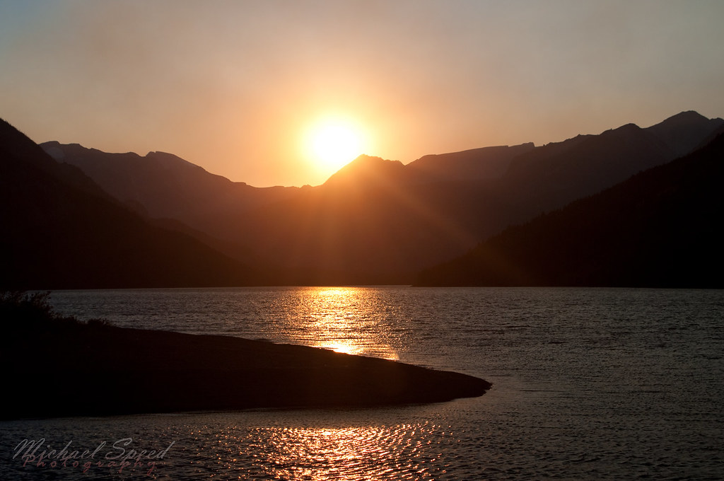
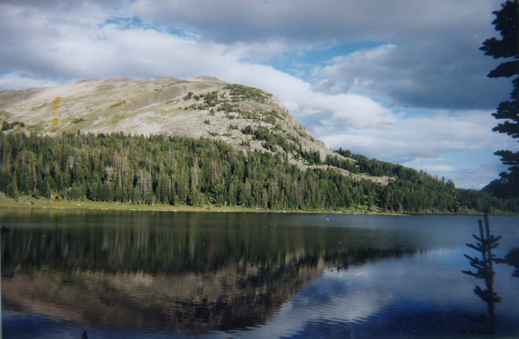
Mystic Lake Sunset
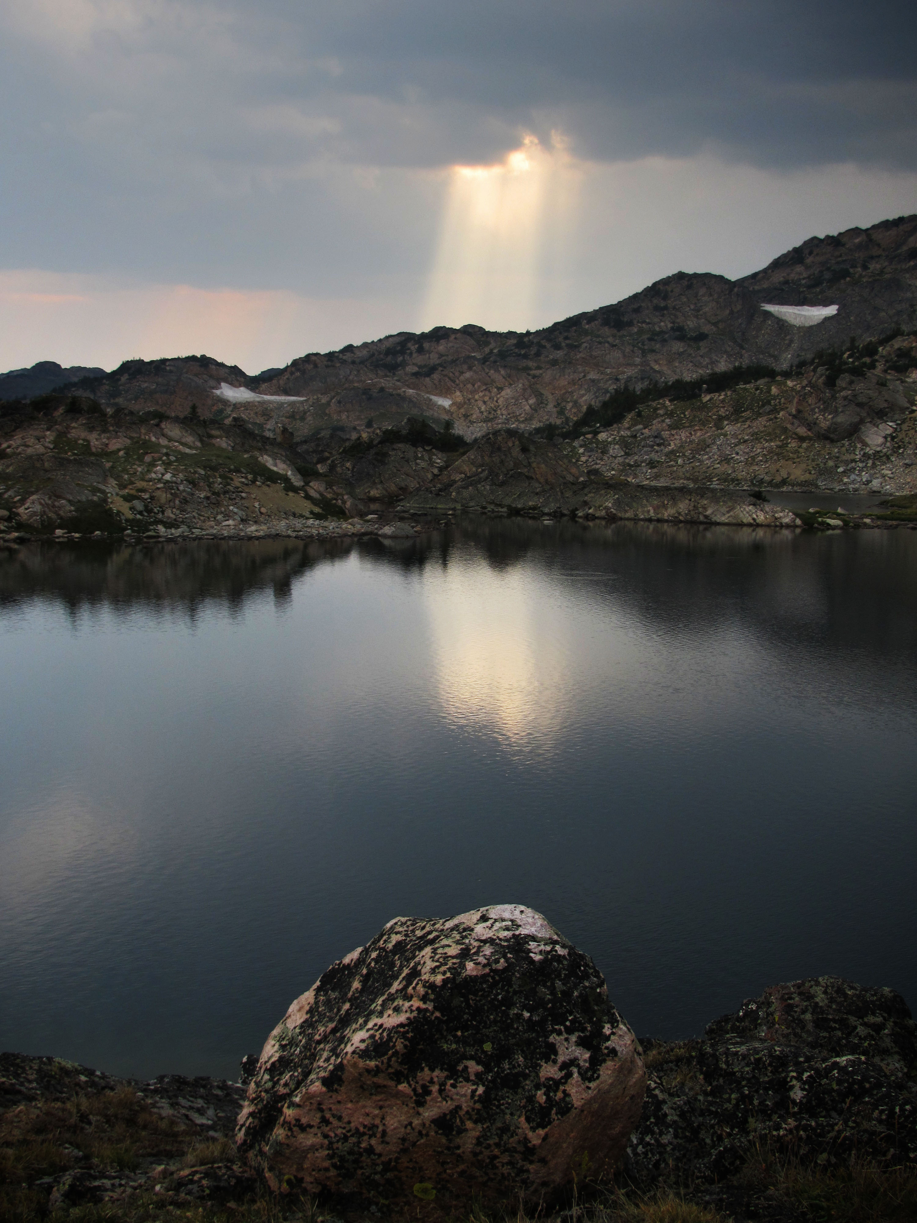
Shaft of Light over Rough Lake
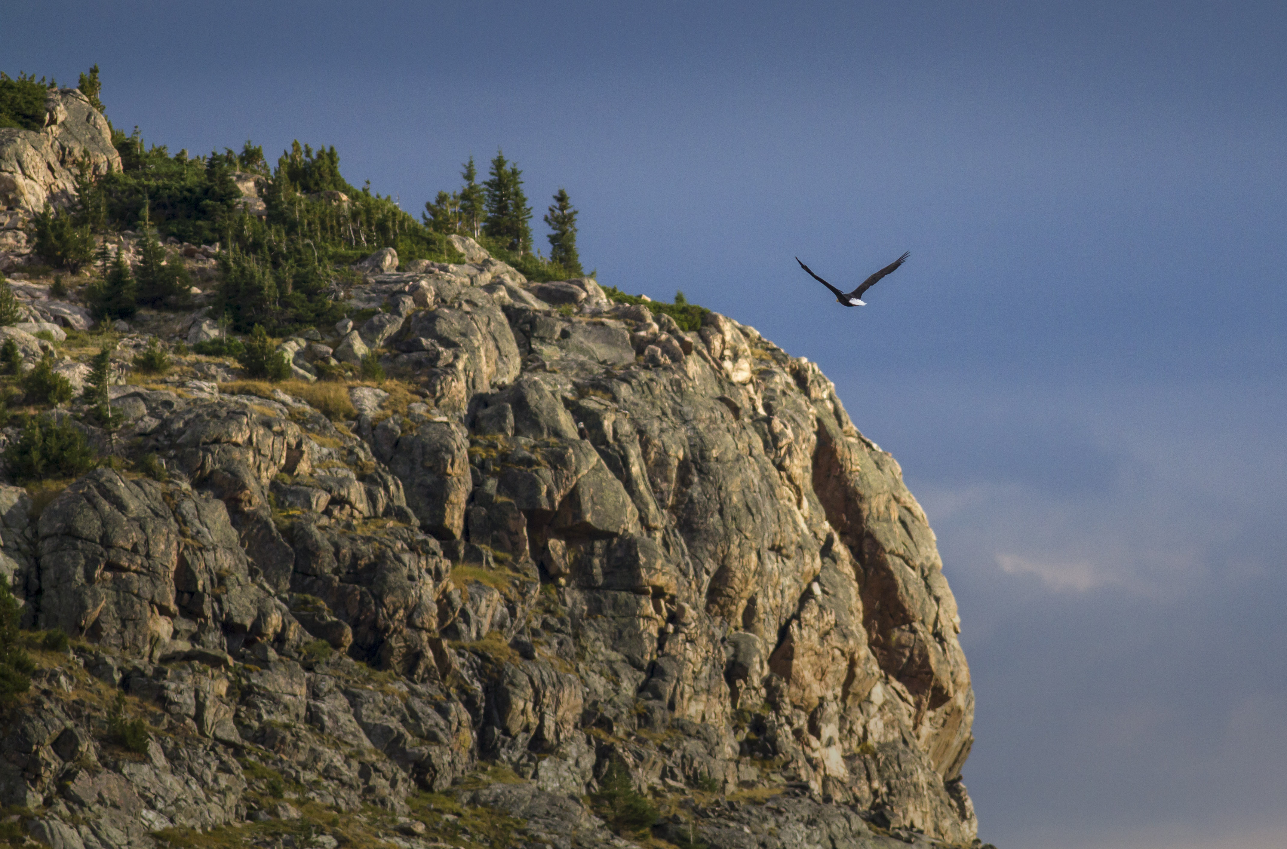
Bald Eagle at Sunset
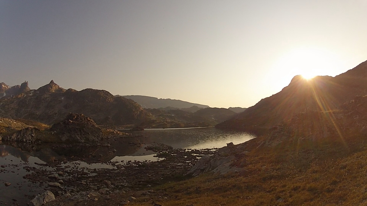
Sunrise at Rough Lake
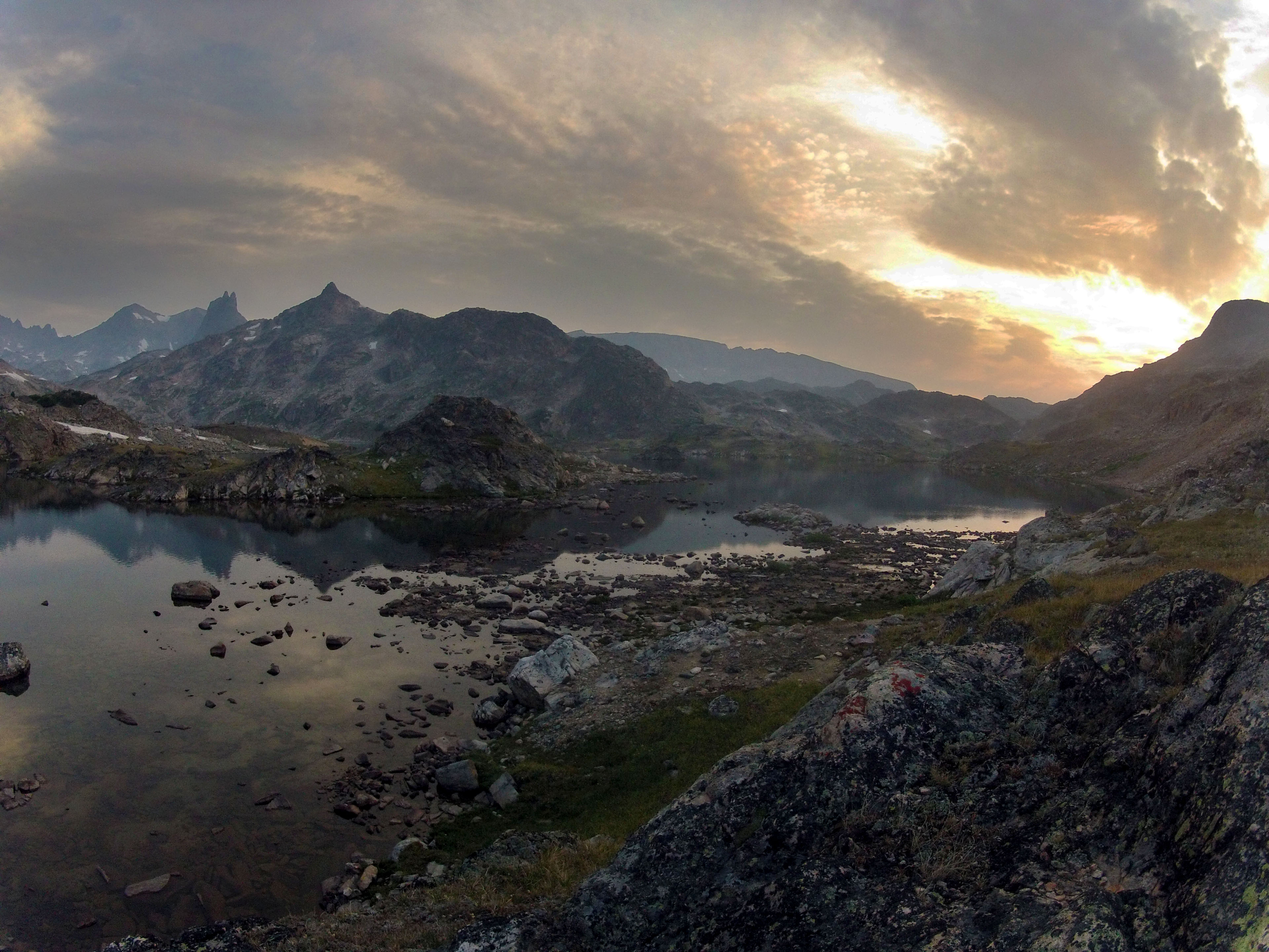
Sunrise at Rough Lake

Let The Light In

Ride the Horizon
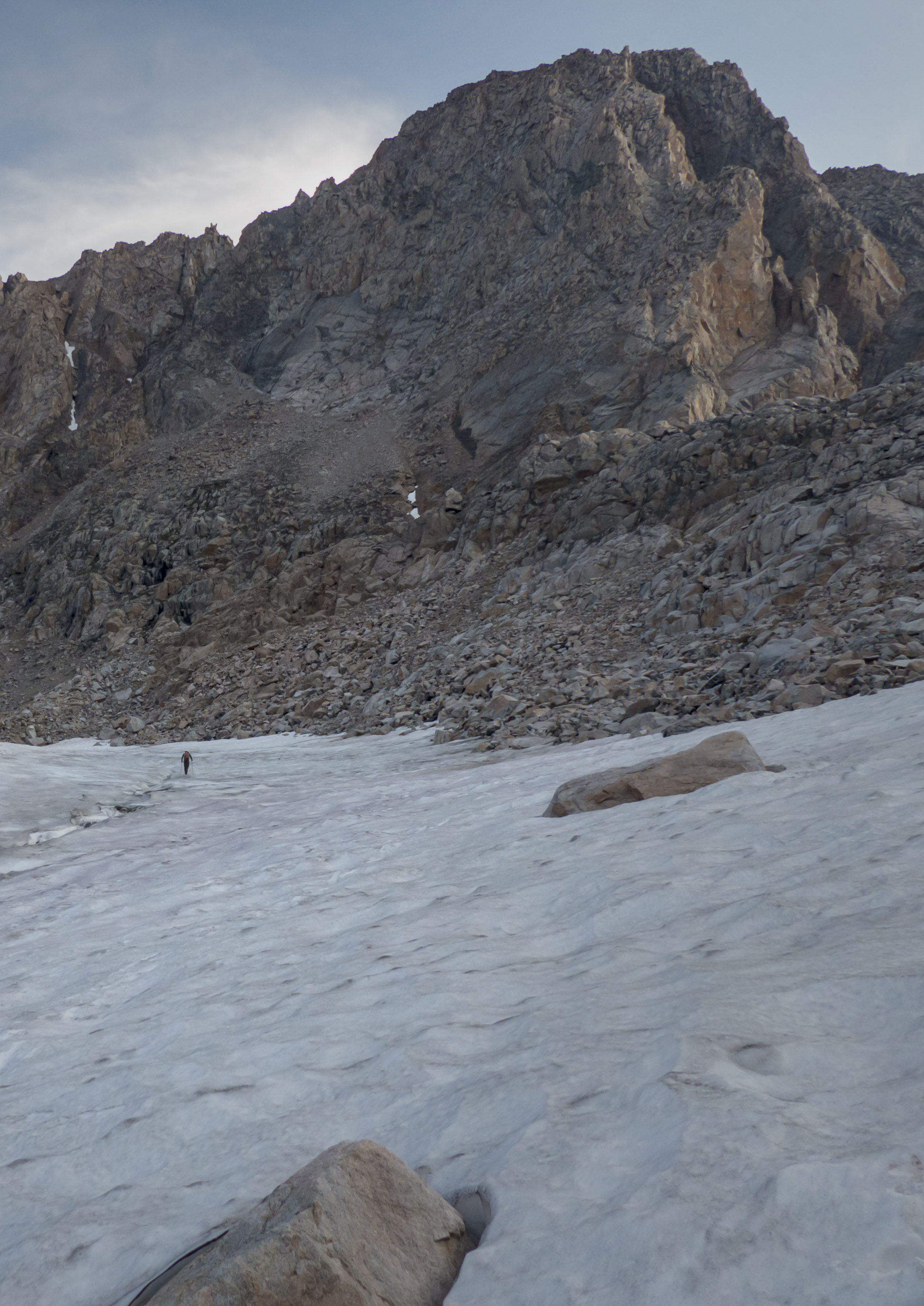
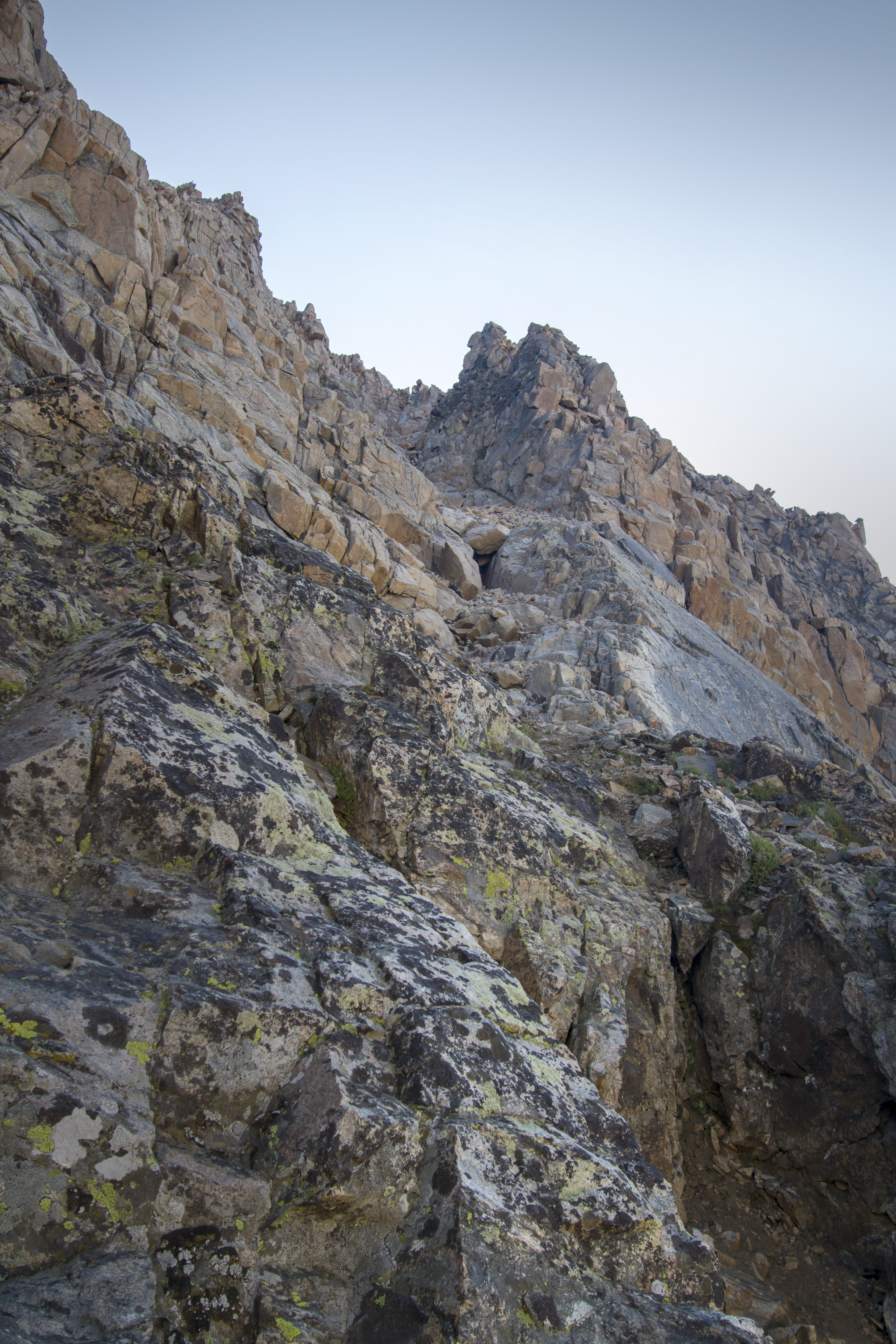
Mouser crossing the snowfield
How about Straight up?
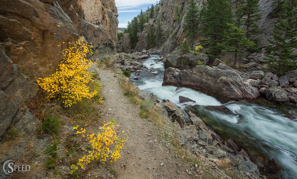
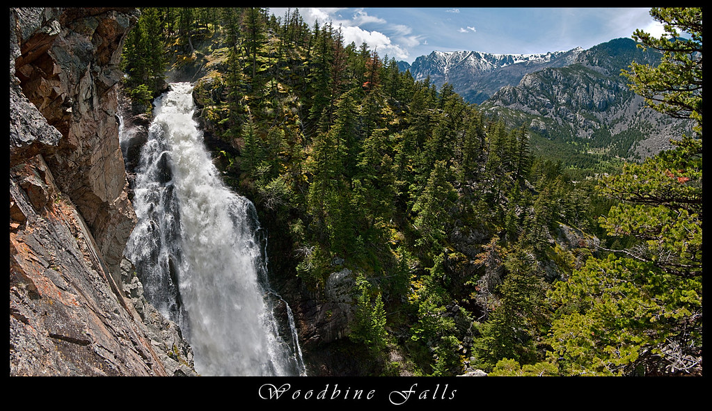
Hiking Trail along the Stillwater River

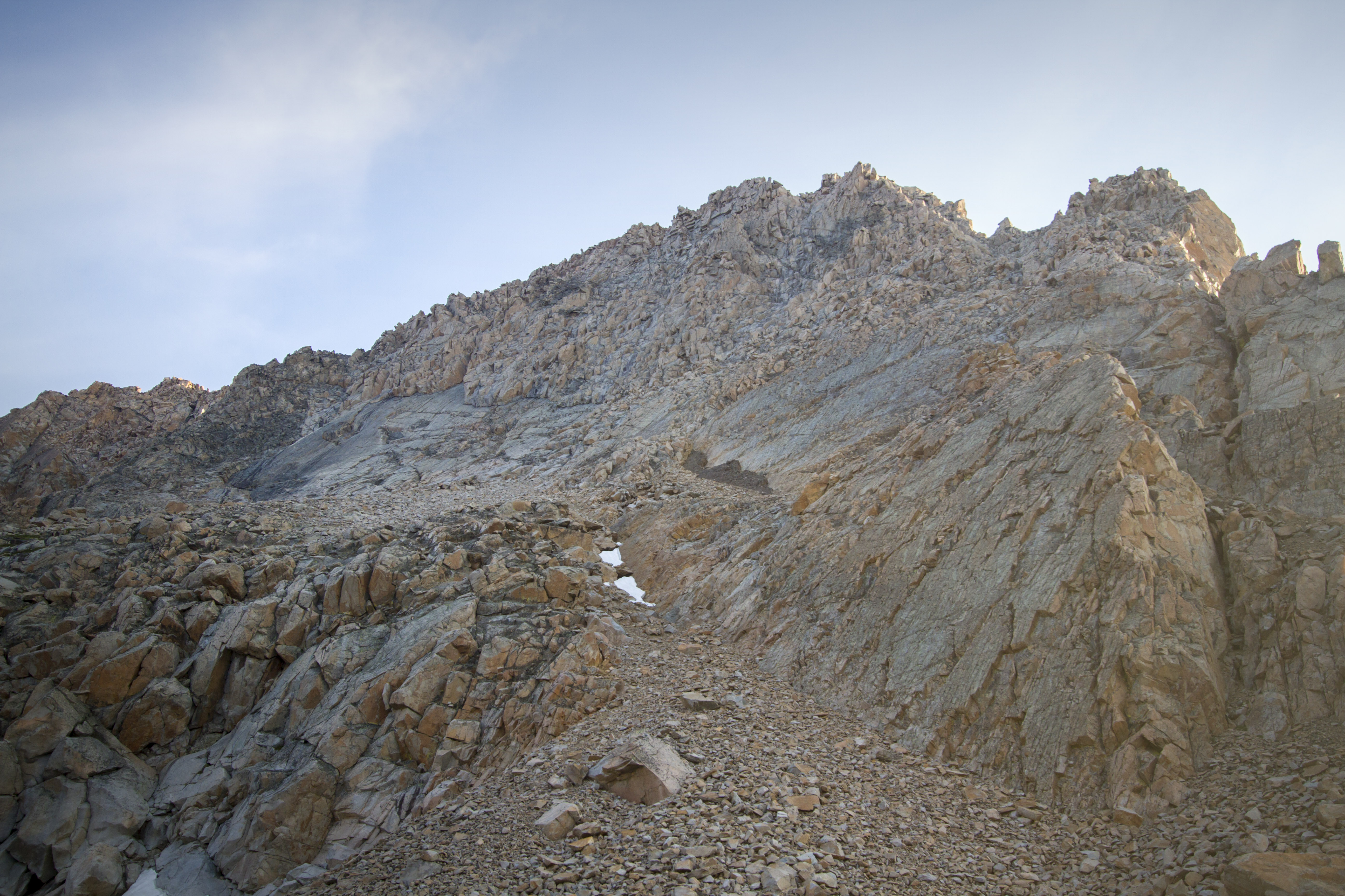
Southwest Couloir Route
Wounded Man Lake
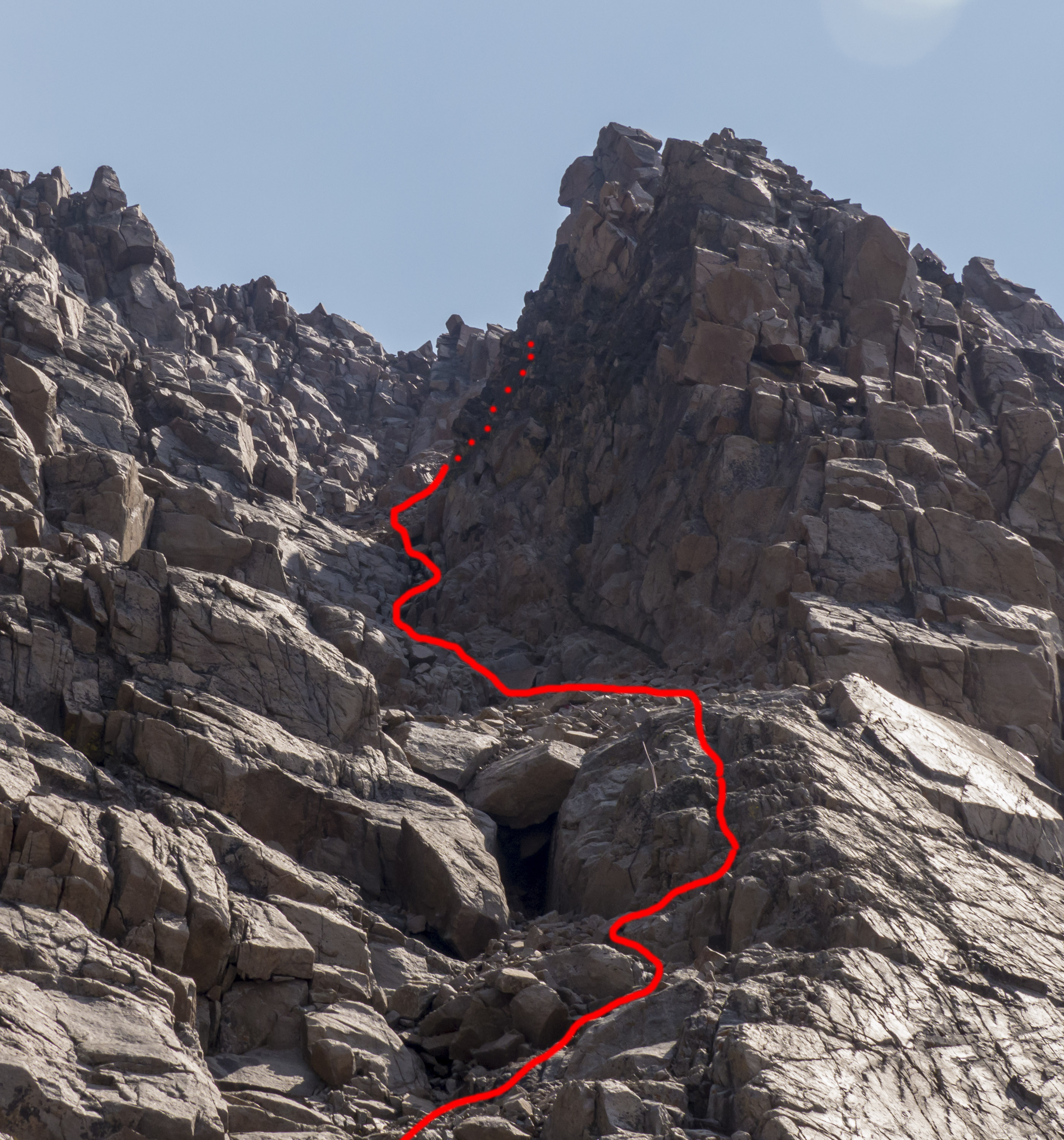
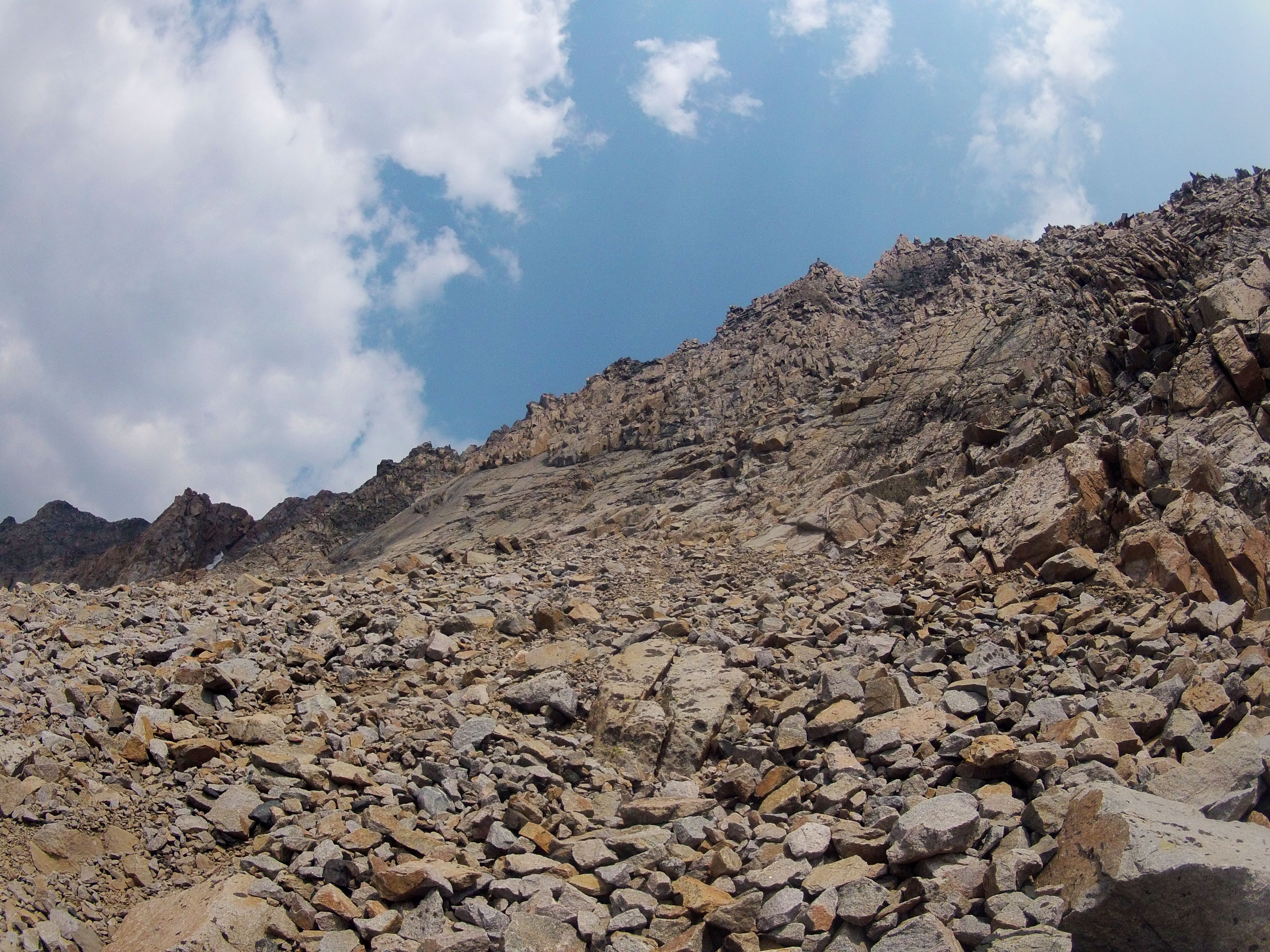
Southwest Couloir Route

First View of Granite between The Spires and Point 11,379'

Granite Headwall Megapanorama
SW Couloir from Bottom
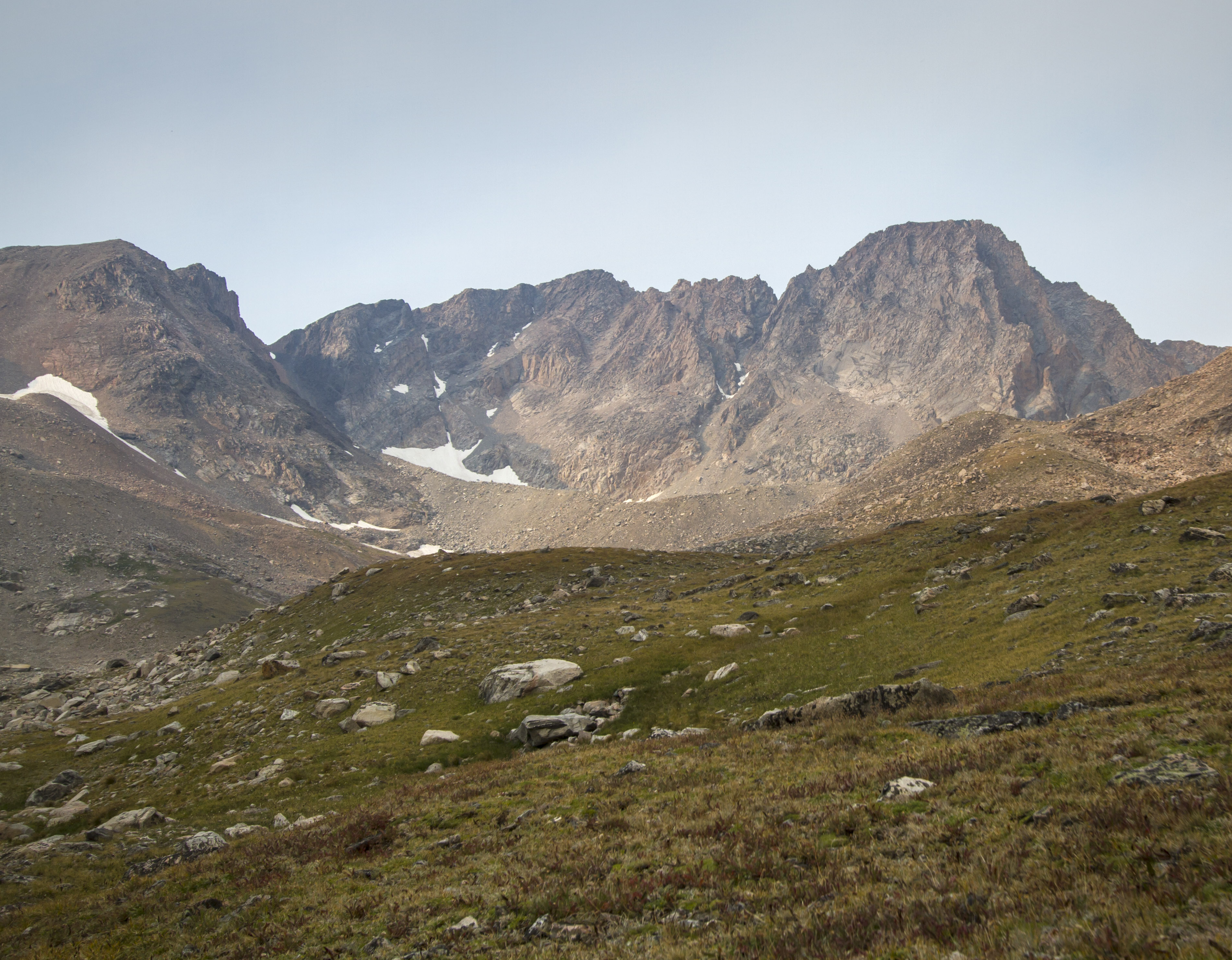
Granite Peak as seen from Camp Two
Granite Peak's Headwall
Looking Straight Up the Wall
アメリカ合衆国 〒 モンタナ州 ツイン・ピークスの地図
別の場所を検索
近所の場所
アメリカ合衆国 〒 モンタナ州 ミスティック湖
アメリカ合衆国 〒 モンタナ州 グラニット山
Beartooth Mountains, Montana アメリカ合衆国
Nye Rd, Nye, MT アメリカ合衆国
アメリカ合衆国 〒 モンタナ州 ワイルドキャット山
アメリカ合衆国 モンタナ州 アブサローキー・ハイ・スクール
43 Sioux Trail, Fishtail, MT アメリカ合衆国
Nye, MT アメリカ合衆国
62 Trinity Trail, Fishtail, MT アメリカ合衆国
65 Sawmill Rd, Cooke City-Silver Gate, MT アメリカ合衆国
Beartooth Hwy, Cooke City-Silver Gate, MT アメリカ合衆国コルター・キャンプグランド
66 Harmony Ln, Fishtail, MT アメリカ合衆国
アメリカ合衆国 〒 モンタナ州 ウォルバリーン・ピーク
Main St, Cooke City, MT アメリカ合衆国Alpine Motel
アメリカ合衆国 モンタナ州 クック・シティ=シルバー・ゲート
アメリカ合衆国 〒 モンタナ州 クック・シティ=シルバー・ゲート クック・シティ
14 Larson Ln, Cooke City-Silver Gate, MT アメリカ合衆国
アメリカ合衆国 〒 モンタナ州 クック・シティ=シルバー・ゲート シルバー・ゲート
アメリカ合衆国 〒 モンタナ州 ダグラス山
US Hwy W, Cooke City-Silver Gate, MT アメリカ合衆国Silver Gate Lodging
最近の検索
- アメリカ合衆国 アラスカ州 レッド・ドッグ・マイン日の出日の入り時間
- Am bhf, Borken, ドイツアム・バーンホーフ日の出日の入り時間
- 4th St E, Sonoma, CA, USA日の出日の入り時間
- Oakland Ave, Williamsport, PA アメリカ合衆国日の出日の入り時間
- Via Roma, Pieranica CR, イタリアローマ通り日の出日の入り時間
- クロアチア 〒 ドゥブロブニク GradClock Tower of Dubrovnik日の出日の入り時間
- アルゼンチン チュブ州 トレリュー日の出日の入り時間
- Hartfords Bluff Cir, Mt Pleasant, SC アメリカ合衆国日の出日の入り時間
- 日本、熊本県熊本市北区日の出日の入り時間
- 中華人民共和国 福州市 平潭県 平潭島日の出日の入り時間