アメリカ合衆国 カンザス州 トレゴ日の出日の入り時間
Location: アメリカ合衆国 > カンザス州 >
時間帯:
America/Chicago
現地時間:
2025-06-18 07:43:59
経度:
-99.8124935
緯度:
38.9900316
今日の日の出時刻:
06:13:22 AM
今日の日の入時刻:
09:07:45 PM
今日の日長:
14h 54m 23s
明日の日の出時刻:
06:13:33 AM
明日の日の入時刻:
09:08:01 PM
明日の日長:
14h 54m 28s
すべて表示する
| 日付 | 日出 | 日没 | 日長 |
|---|---|---|---|
| 2025年01月01日 | 07:58:10 AM | 05:28:39 PM | 9h 30m 29s |
| 2025年01月02日 | 07:58:14 AM | 05:29:30 PM | 9h 31m 16s |
| 2025年01月03日 | 07:58:16 AM | 05:30:22 PM | 9h 32m 6s |
| 2025年01月04日 | 07:58:16 AM | 05:31:16 PM | 9h 33m 0s |
| 2025年01月05日 | 07:58:14 AM | 05:32:11 PM | 9h 33m 57s |
| 2025年01月06日 | 07:58:09 AM | 05:33:07 PM | 9h 34m 58s |
| 2025年01月07日 | 07:58:03 AM | 05:34:04 PM | 9h 36m 1s |
| 2025年01月08日 | 07:57:54 AM | 05:35:03 PM | 9h 37m 9s |
| 2025年01月09日 | 07:57:43 AM | 05:36:02 PM | 9h 38m 19s |
| 2025年01月10日 | 07:57:30 AM | 05:37:02 PM | 9h 39m 32s |
| 2025年01月11日 | 07:57:15 AM | 05:38:04 PM | 9h 40m 49s |
| 2025年01月12日 | 07:56:58 AM | 05:39:06 PM | 9h 42m 8s |
| 2025年01月13日 | 07:56:38 AM | 05:40:09 PM | 9h 43m 31s |
| 2025年01月14日 | 07:56:17 AM | 05:41:13 PM | 9h 44m 56s |
| 2025年01月15日 | 07:55:53 AM | 05:42:17 PM | 9h 46m 24s |
| 2025年01月16日 | 07:55:28 AM | 05:43:22 PM | 9h 47m 54s |
| 2025年01月17日 | 07:55:00 AM | 05:44:28 PM | 9h 49m 28s |
| 2025年01月18日 | 07:54:30 AM | 05:45:35 PM | 9h 51m 5s |
| 2025年01月19日 | 07:53:58 AM | 05:46:41 PM | 9h 52m 43s |
| 2025年01月20日 | 07:53:25 AM | 05:47:49 PM | 9h 54m 24s |
| 2025年01月21日 | 07:52:49 AM | 05:48:57 PM | 9h 56m 8s |
| 2025年01月22日 | 07:52:12 AM | 05:50:05 PM | 9h 57m 53s |
| 2025年01月23日 | 07:51:32 AM | 05:51:13 PM | 9h 59m 41s |
| 2025年01月24日 | 07:50:51 AM | 05:52:22 PM | 10h 1m 31s |
| 2025年01月25日 | 07:50:08 AM | 05:53:31 PM | 10h 3m 23s |
| 2025年01月26日 | 07:49:23 AM | 05:54:41 PM | 10h 5m 18s |
| 2025年01月27日 | 07:48:36 AM | 05:55:50 PM | 10h 7m 14s |
| 2025年01月28日 | 07:47:47 AM | 05:57:00 PM | 10h 9m 13s |
| 2025年01月29日 | 07:46:57 AM | 05:58:09 PM | 10h 11m 12s |
| 2025年01月30日 | 07:46:05 AM | 05:59:19 PM | 10h 13m 14s |
| 2025年01月31日 | 07:45:11 AM | 06:00:29 PM | 10h 15m 18s |
| 2025年02月01日 | 07:44:16 AM | 06:01:39 PM | 10h 17m 23s |
| 2025年02月02日 | 07:43:19 AM | 06:02:49 PM | 10h 19m 30s |
| 2025年02月03日 | 07:42:20 AM | 06:03:58 PM | 10h 21m 38s |
| 2025年02月04日 | 07:41:20 AM | 06:05:08 PM | 10h 23m 48s |
| 2025年02月05日 | 07:40:19 AM | 06:06:18 PM | 10h 25m 59s |
| 2025年02月06日 | 07:39:16 AM | 06:07:27 PM | 10h 28m 11s |
| 2025年02月07日 | 07:38:11 AM | 06:08:36 PM | 10h 30m 25s |
| 2025年02月08日 | 07:37:05 AM | 06:09:45 PM | 10h 32m 40s |
| 2025年02月09日 | 07:35:58 AM | 06:10:54 PM | 10h 34m 56s |
| 2025年02月10日 | 07:34:49 AM | 06:12:03 PM | 10h 37m 14s |
| 2025年02月11日 | 07:33:40 AM | 06:13:12 PM | 10h 39m 32s |
| 2025年02月12日 | 07:32:28 AM | 06:14:20 PM | 10h 41m 52s |
| 2025年02月13日 | 07:31:16 AM | 06:15:28 PM | 10h 44m 12s |
| 2025年02月14日 | 07:30:02 AM | 06:16:36 PM | 10h 46m 34s |
| 2025年02月15日 | 07:28:48 AM | 06:17:43 PM | 10h 48m 55s |
| 2025年02月16日 | 07:27:32 AM | 06:18:51 PM | 10h 51m 19s |
| 2025年02月17日 | 07:26:15 AM | 06:19:58 PM | 10h 53m 43s |
| 2025年02月18日 | 07:24:57 AM | 06:21:04 PM | 10h 56m 7s |
| 2025年02月19日 | 07:23:38 AM | 06:22:11 PM | 10h 58m 33s |
| 2025年02月20日 | 07:22:18 AM | 06:23:17 PM | 11h 0m 59s |
| 2025年02月21日 | 07:20:57 AM | 06:24:22 PM | 11h 3m 25s |
| 2025年02月22日 | 07:19:35 AM | 06:25:28 PM | 11h 5m 53s |
| 2025年02月23日 | 07:18:12 AM | 06:26:33 PM | 11h 8m 21s |
| 2025年02月24日 | 07:16:48 AM | 06:27:38 PM | 11h 10m 50s |
| 2025年02月25日 | 07:15:24 AM | 06:28:42 PM | 11h 13m 18s |
| 2025年02月26日 | 07:13:58 AM | 06:29:47 PM | 11h 15m 49s |
| 2025年02月27日 | 07:12:32 AM | 06:30:50 PM | 11h 18m 18s |
| 2025年02月28日 | 07:11:05 AM | 06:31:54 PM | 11h 20m 49s |
| 2025年03月01日 | 07:09:38 AM | 06:32:57 PM | 11h 23m 19s |
| 2025年03月02日 | 07:08:10 AM | 06:34:00 PM | 11h 25m 50s |
| 2025年03月03日 | 07:06:41 AM | 06:35:03 PM | 11h 28m 22s |
| 2025年03月04日 | 07:05:12 AM | 06:36:05 PM | 11h 30m 53s |
| 2025年03月05日 | 07:03:42 AM | 06:37:08 PM | 11h 33m 26s |
| 2025年03月06日 | 07:02:11 AM | 06:38:09 PM | 11h 35m 58s |
| 2025年03月07日 | 07:00:40 AM | 06:39:11 PM | 11h 38m 31s |
| 2025年03月08日 | 06:59:09 AM | 06:40:12 PM | 11h 41m 3s |
| 2025年03月09日 | 07:57:41 AM | 07:41:11 PM | 11h 43m 30s |
| 2025年03月10日 | 07:56:09 AM | 07:42:12 PM | 11h 46m 3s |
| 2025年03月11日 | 07:54:36 AM | 07:43:12 PM | 11h 48m 36s |
| 2025年03月12日 | 07:53:03 AM | 07:44:13 PM | 11h 51m 10s |
| 2025年03月13日 | 07:51:30 AM | 07:45:13 PM | 11h 53m 43s |
| 2025年03月14日 | 07:49:56 AM | 07:46:13 PM | 11h 56m 17s |
| 2025年03月15日 | 07:48:23 AM | 07:47:13 PM | 11h 58m 50s |
| 2025年03月16日 | 07:46:49 AM | 07:48:12 PM | 12h 1m 23s |
| 2025年03月17日 | 07:45:15 AM | 07:49:12 PM | 12h 3m 57s |
| 2025年03月18日 | 07:43:40 AM | 07:50:11 PM | 12h 6m 31s |
| 2025年03月19日 | 07:42:06 AM | 07:51:10 PM | 12h 9m 4s |
| 2025年03月20日 | 07:40:31 AM | 07:52:09 PM | 12h 11m 38s |
| 2025年03月21日 | 07:38:56 AM | 07:53:08 PM | 12h 14m 12s |
| 2025年03月22日 | 07:37:22 AM | 07:54:06 PM | 12h 16m 44s |
| 2025年03月23日 | 07:35:47 AM | 07:55:05 PM | 12h 19m 18s |
| 2025年03月24日 | 07:34:12 AM | 07:56:03 PM | 12h 21m 51s |
| 2025年03月25日 | 07:32:38 AM | 07:57:02 PM | 12h 24m 24s |
| 2025年03月26日 | 07:31:03 AM | 07:58:00 PM | 12h 26m 57s |
| 2025年03月27日 | 07:29:29 AM | 07:58:58 PM | 12h 29m 29s |
| 2025年03月28日 | 07:27:55 AM | 07:59:57 PM | 12h 32m 2s |
| 2025年03月29日 | 07:26:21 AM | 08:00:55 PM | 12h 34m 34s |
| 2025年03月30日 | 07:24:47 AM | 08:01:53 PM | 12h 37m 6s |
| 2025年03月31日 | 07:23:13 AM | 08:02:51 PM | 12h 39m 38s |
| 2025年04月01日 | 07:21:40 AM | 08:03:49 PM | 12h 42m 9s |
| 2025年04月02日 | 07:20:07 AM | 08:04:47 PM | 12h 44m 40s |
| 2025年04月03日 | 07:18:34 AM | 08:05:45 PM | 12h 47m 11s |
| 2025年04月04日 | 07:17:01 AM | 08:06:43 PM | 12h 49m 42s |
| 2025年04月05日 | 07:15:29 AM | 08:07:41 PM | 12h 52m 12s |
| 2025年04月06日 | 07:13:58 AM | 08:08:39 PM | 12h 54m 41s |
| 2025年04月07日 | 07:12:27 AM | 08:09:37 PM | 12h 57m 10s |
| 2025年04月08日 | 07:10:56 AM | 08:10:35 PM | 12h 59m 39s |
| 2025年04月09日 | 07:09:26 AM | 08:11:33 PM | 13h 2m 7s |
| 2025年04月10日 | 07:07:56 AM | 08:12:31 PM | 13h 4m 35s |
| 2025年04月11日 | 07:06:27 AM | 08:13:29 PM | 13h 7m 2s |
| 2025年04月12日 | 07:04:59 AM | 08:14:27 PM | 13h 9m 28s |
| 2025年04月13日 | 07:03:31 AM | 08:15:25 PM | 13h 11m 54s |
| 2025年04月14日 | 07:02:04 AM | 08:16:23 PM | 13h 14m 19s |
| 2025年04月15日 | 07:00:37 AM | 08:17:21 PM | 13h 16m 44s |
| 2025年04月16日 | 06:59:11 AM | 08:18:19 PM | 13h 19m 8s |
| 2025年04月17日 | 06:57:46 AM | 08:19:18 PM | 13h 21m 32s |
| 2025年04月18日 | 06:56:22 AM | 08:20:16 PM | 13h 23m 54s |
| 2025年04月19日 | 06:54:59 AM | 08:21:14 PM | 13h 26m 15s |
| 2025年04月20日 | 06:53:36 AM | 08:22:13 PM | 13h 28m 37s |
| 2025年04月21日 | 06:52:14 AM | 08:23:11 PM | 13h 30m 57s |
| 2025年04月22日 | 06:50:53 AM | 08:24:09 PM | 13h 33m 16s |
| 2025年04月23日 | 06:49:34 AM | 08:25:08 PM | 13h 35m 34s |
| 2025年04月24日 | 06:48:15 AM | 08:26:06 PM | 13h 37m 51s |
| 2025年04月25日 | 06:46:57 AM | 08:27:04 PM | 13h 40m 7s |
| 2025年04月26日 | 06:45:40 AM | 08:28:03 PM | 13h 42m 23s |
| 2025年04月27日 | 06:44:24 AM | 08:29:01 PM | 13h 44m 37s |
| 2025年04月28日 | 06:43:09 AM | 08:29:59 PM | 13h 46m 50s |
| 2025年04月29日 | 06:41:56 AM | 08:30:57 PM | 13h 49m 1s |
| 2025年04月30日 | 06:40:43 AM | 08:31:55 PM | 13h 51m 12s |
| 2025年05月01日 | 06:39:32 AM | 08:32:53 PM | 13h 53m 21s |
| 2025年05月02日 | 06:38:22 AM | 08:33:51 PM | 13h 55m 29s |
| 2025年05月03日 | 06:37:13 AM | 08:34:49 PM | 13h 57m 36s |
| 2025年05月04日 | 06:36:05 AM | 08:35:46 PM | 13h 59m 41s |
| 2025年05月05日 | 06:34:59 AM | 08:36:44 PM | 14h 1m 45s |
| 2025年05月06日 | 06:33:54 AM | 08:37:41 PM | 14h 3m 47s |
| 2025年05月07日 | 06:32:50 AM | 08:38:38 PM | 14h 5m 48s |
| 2025年05月08日 | 06:31:48 AM | 08:39:34 PM | 14h 7m 46s |
| 2025年05月09日 | 06:30:47 AM | 08:40:31 PM | 14h 9m 44s |
| 2025年05月10日 | 06:29:48 AM | 08:41:27 PM | 14h 11m 39s |
| 2025年05月11日 | 06:28:50 AM | 08:42:23 PM | 14h 13m 33s |
| 2025年05月12日 | 06:27:54 AM | 08:43:18 PM | 14h 15m 24s |
| 2025年05月13日 | 06:26:59 AM | 08:44:13 PM | 14h 17m 14s |
| 2025年05月14日 | 06:26:06 AM | 08:45:08 PM | 14h 19m 2s |
| 2025年05月15日 | 06:25:14 AM | 08:46:02 PM | 14h 20m 48s |
| 2025年05月16日 | 06:24:24 AM | 08:46:56 PM | 14h 22m 32s |
| 2025年05月17日 | 06:23:35 AM | 08:47:49 PM | 14h 24m 14s |
| 2025年05月18日 | 06:22:48 AM | 08:48:42 PM | 14h 25m 54s |
| 2025年05月19日 | 06:22:03 AM | 08:49:34 PM | 14h 27m 31s |
| 2025年05月20日 | 06:21:19 AM | 08:50:25 PM | 14h 29m 6s |
| 2025年05月21日 | 06:20:38 AM | 08:51:16 PM | 14h 30m 38s |
| 2025年05月22日 | 06:19:58 AM | 08:52:06 PM | 14h 32m 8s |
| 2025年05月23日 | 06:19:19 AM | 08:52:55 PM | 14h 33m 36s |
| 2025年05月24日 | 06:18:43 AM | 08:53:44 PM | 14h 35m 1s |
| 2025年05月25日 | 06:18:08 AM | 08:54:32 PM | 14h 36m 24s |
| 2025年05月26日 | 06:17:35 AM | 08:55:19 PM | 14h 37m 44s |
| 2025年05月27日 | 06:17:04 AM | 08:56:05 PM | 14h 39m 1s |
| 2025年05月28日 | 06:16:34 AM | 08:56:50 PM | 14h 40m 16s |
| 2025年05月29日 | 06:16:07 AM | 08:57:34 PM | 14h 41m 27s |
| 2025年05月30日 | 06:15:41 AM | 08:58:17 PM | 14h 42m 36s |
| 2025年05月31日 | 06:15:17 AM | 08:59:00 PM | 14h 43m 43s |
| 2025年06月01日 | 06:14:55 AM | 08:59:41 PM | 14h 44m 46s |
| 2025年06月02日 | 06:14:35 AM | 09:00:21 PM | 14h 45m 46s |
| 2025年06月03日 | 06:14:17 AM | 09:00:59 PM | 14h 46m 42s |
| 2025年06月04日 | 06:14:01 AM | 09:01:37 PM | 14h 47m 36s |
| 2025年06月05日 | 06:13:46 AM | 09:02:13 PM | 14h 48m 27s |
| 2025年06月06日 | 06:13:34 AM | 09:02:48 PM | 14h 49m 14s |
| 2025年06月07日 | 06:13:23 AM | 09:03:22 PM | 14h 49m 59s |
| 2025年06月08日 | 06:13:14 AM | 09:03:54 PM | 14h 50m 40s |
| 2025年06月09日 | 06:13:07 AM | 09:04:25 PM | 14h 51m 18s |
| 2025年06月10日 | 06:13:02 AM | 09:04:54 PM | 14h 51m 52s |
| 2025年06月11日 | 06:12:59 AM | 09:05:22 PM | 14h 52m 23s |
| 2025年06月12日 | 06:12:58 AM | 09:05:49 PM | 14h 52m 51s |
| 2025年06月13日 | 06:12:58 AM | 09:06:14 PM | 14h 53m 16s |
| 2025年06月14日 | 06:13:01 AM | 09:06:37 PM | 14h 53m 36s |
| 2025年06月15日 | 06:13:05 AM | 09:06:59 PM | 14h 53m 54s |
| 2025年06月16日 | 06:13:11 AM | 09:07:19 PM | 14h 54m 8s |
| 2025年06月17日 | 06:13:18 AM | 09:07:37 PM | 14h 54m 19s |
| 2025年06月18日 | 06:13:28 AM | 09:07:54 PM | 14h 54m 26s |
| 2025年06月19日 | 06:13:39 AM | 09:08:09 PM | 14h 54m 30s |
| 2025年06月20日 | 06:13:52 AM | 09:08:22 PM | 14h 54m 30s |
| 2025年06月21日 | 06:14:06 AM | 09:08:34 PM | 14h 54m 28s |
| 2025年06月22日 | 06:14:23 AM | 09:08:44 PM | 14h 54m 21s |
| 2025年06月23日 | 06:14:40 AM | 09:08:51 PM | 14h 54m 11s |
| 2025年06月24日 | 06:15:00 AM | 09:08:58 PM | 14h 53m 58s |
| 2025年06月25日 | 06:15:21 AM | 09:09:02 PM | 14h 53m 41s |
| 2025年06月26日 | 06:15:43 AM | 09:09:04 PM | 14h 53m 21s |
| 2025年06月27日 | 06:16:08 AM | 09:09:05 PM | 14h 52m 57s |
| 2025年06月28日 | 06:16:33 AM | 09:09:03 PM | 14h 52m 30s |
| 2025年06月29日 | 06:17:00 AM | 09:09:00 PM | 14h 52m 0s |
| 2025年06月30日 | 06:17:29 AM | 09:08:55 PM | 14h 51m 26s |
| 2025年07月01日 | 06:17:58 AM | 09:08:48 PM | 14h 50m 50s |
| 2025年07月02日 | 06:18:29 AM | 09:08:38 PM | 14h 50m 9s |
| 2025年07月03日 | 06:19:02 AM | 09:08:28 PM | 14h 49m 26s |
| 2025年07月04日 | 06:19:36 AM | 09:08:15 PM | 14h 48m 39s |
| 2025年07月05日 | 06:20:10 AM | 09:08:00 PM | 14h 47m 50s |
| 2025年07月06日 | 06:20:47 AM | 09:07:43 PM | 14h 46m 56s |
| 2025年07月07日 | 06:21:24 AM | 09:07:24 PM | 14h 46m 0s |
| 2025年07月08日 | 06:22:02 AM | 09:07:04 PM | 14h 45m 2s |
| 2025年07月09日 | 06:22:42 AM | 09:06:41 PM | 14h 43m 59s |
| 2025年07月10日 | 06:23:22 AM | 09:06:17 PM | 14h 42m 55s |
| 2025年07月11日 | 06:24:03 AM | 09:05:51 PM | 14h 41m 48s |
| 2025年07月12日 | 06:24:46 AM | 09:05:23 PM | 14h 40m 37s |
| 2025年07月13日 | 06:25:29 AM | 09:04:53 PM | 14h 39m 24s |
| 2025年07月14日 | 06:26:13 AM | 09:04:21 PM | 14h 38m 8s |
| 2025年07月15日 | 06:26:58 AM | 09:03:47 PM | 14h 36m 49s |
| 2025年07月16日 | 06:27:44 AM | 09:03:11 PM | 14h 35m 27s |
| 2025年07月17日 | 06:28:30 AM | 09:02:34 PM | 14h 34m 4s |
| 2025年07月18日 | 06:29:17 AM | 09:01:55 PM | 14h 32m 38s |
| 2025年07月19日 | 06:30:05 AM | 09:01:14 PM | 14h 31m 9s |
| 2025年07月20日 | 06:30:54 AM | 09:00:31 PM | 14h 29m 37s |
| 2025年07月21日 | 06:31:43 AM | 08:59:47 PM | 14h 28m 4s |
| 2025年07月22日 | 06:32:32 AM | 08:59:01 PM | 14h 26m 29s |
| 2025年07月23日 | 06:33:22 AM | 08:58:13 PM | 14h 24m 51s |
| 2025年07月24日 | 06:34:13 AM | 08:57:24 PM | 14h 23m 11s |
| 2025年07月25日 | 06:35:04 AM | 08:56:32 PM | 14h 21m 28s |
| 2025年07月26日 | 06:35:55 AM | 08:55:40 PM | 14h 19m 45s |
| 2025年07月27日 | 06:36:47 AM | 08:54:45 PM | 14h 17m 58s |
| 2025年07月28日 | 06:37:40 AM | 08:53:49 PM | 14h 16m 9s |
| 2025年07月29日 | 06:38:32 AM | 08:52:52 PM | 14h 14m 20s |
| 2025年07月30日 | 06:39:25 AM | 08:51:53 PM | 14h 12m 28s |
| 2025年07月31日 | 06:40:18 AM | 08:50:52 PM | 14h 10m 34s |
| 2025年08月01日 | 06:41:11 AM | 08:49:51 PM | 14h 8m 40s |
| 2025年08月02日 | 06:42:05 AM | 08:48:47 PM | 14h 6m 42s |
| 2025年08月03日 | 06:42:59 AM | 08:47:42 PM | 14h 4m 43s |
| 2025年08月04日 | 06:43:53 AM | 08:46:36 PM | 14h 2m 43s |
| 2025年08月05日 | 06:44:47 AM | 08:45:29 PM | 14h 0m 42s |
| 2025年08月06日 | 06:45:41 AM | 08:44:20 PM | 13h 58m 39s |
| 2025年08月07日 | 06:46:35 AM | 08:43:10 PM | 13h 56m 35s |
| 2025年08月08日 | 06:47:30 AM | 08:41:59 PM | 13h 54m 29s |
| 2025年08月09日 | 06:48:24 AM | 08:40:46 PM | 13h 52m 22s |
| 2025年08月10日 | 06:49:19 AM | 08:39:32 PM | 13h 50m 13s |
| 2025年08月11日 | 06:50:13 AM | 08:38:17 PM | 13h 48m 4s |
| 2025年08月12日 | 06:51:08 AM | 08:37:01 PM | 13h 45m 53s |
| 2025年08月13日 | 06:52:03 AM | 08:35:44 PM | 13h 43m 41s |
| 2025年08月14日 | 06:52:57 AM | 08:34:26 PM | 13h 41m 29s |
| 2025年08月15日 | 06:53:52 AM | 08:33:07 PM | 13h 39m 15s |
| 2025年08月16日 | 06:54:47 AM | 08:31:46 PM | 13h 36m 59s |
| 2025年08月17日 | 06:55:41 AM | 08:30:25 PM | 13h 34m 44s |
| 2025年08月18日 | 06:56:36 AM | 08:29:03 PM | 13h 32m 27s |
| 2025年08月19日 | 06:57:30 AM | 08:27:40 PM | 13h 30m 10s |
| 2025年08月20日 | 06:58:25 AM | 08:26:16 PM | 13h 27m 51s |
| 2025年08月21日 | 06:59:19 AM | 08:24:51 PM | 13h 25m 32s |
| 2025年08月22日 | 07:00:13 AM | 08:23:25 PM | 13h 23m 12s |
| 2025年08月23日 | 07:01:08 AM | 08:21:58 PM | 13h 20m 50s |
| 2025年08月24日 | 07:02:02 AM | 08:20:31 PM | 13h 18m 29s |
| 2025年08月25日 | 07:02:56 AM | 08:19:03 PM | 13h 16m 7s |
| 2025年08月26日 | 07:03:50 AM | 08:17:34 PM | 13h 13m 44s |
| 2025年08月27日 | 07:04:44 AM | 08:16:05 PM | 13h 11m 21s |
| 2025年08月28日 | 07:05:38 AM | 08:14:35 PM | 13h 8m 57s |
| 2025年08月29日 | 07:06:32 AM | 08:13:04 PM | 13h 6m 32s |
| 2025年08月30日 | 07:07:26 AM | 08:11:33 PM | 13h 4m 7s |
| 2025年08月31日 | 07:08:20 AM | 08:10:01 PM | 13h 1m 41s |
| 2025年09月01日 | 07:09:14 AM | 08:08:29 PM | 12h 59m 15s |
| 2025年09月02日 | 07:10:07 AM | 08:06:56 PM | 12h 56m 49s |
| 2025年09月03日 | 07:11:01 AM | 08:05:22 PM | 12h 54m 21s |
| 2025年09月04日 | 07:11:55 AM | 08:03:48 PM | 12h 51m 53s |
| 2025年09月05日 | 07:12:48 AM | 08:02:14 PM | 12h 49m 26s |
| 2025年09月06日 | 07:13:42 AM | 08:00:40 PM | 12h 46m 58s |
| 2025年09月07日 | 07:14:35 AM | 07:59:05 PM | 12h 44m 30s |
| 2025年09月08日 | 07:15:29 AM | 07:57:30 PM | 12h 42m 1s |
| 2025年09月09日 | 07:16:23 AM | 07:55:54 PM | 12h 39m 31s |
| 2025年09月10日 | 07:17:16 AM | 07:54:18 PM | 12h 37m 2s |
| 2025年09月11日 | 07:18:10 AM | 07:52:42 PM | 12h 34m 32s |
| 2025年09月12日 | 07:19:03 AM | 07:51:06 PM | 12h 32m 3s |
| 2025年09月13日 | 07:19:57 AM | 07:49:29 PM | 12h 29m 32s |
| 2025年09月14日 | 07:20:51 AM | 07:47:53 PM | 12h 27m 2s |
| 2025年09月15日 | 07:21:45 AM | 07:46:16 PM | 12h 24m 31s |
| 2025年09月16日 | 07:22:38 AM | 07:44:39 PM | 12h 22m 1s |
| 2025年09月17日 | 07:23:32 AM | 07:43:03 PM | 12h 19m 31s |
| 2025年09月18日 | 07:24:26 AM | 07:41:26 PM | 12h 17m 0s |
| 2025年09月19日 | 07:25:21 AM | 07:39:49 PM | 12h 14m 28s |
| 2025年09月20日 | 07:26:15 AM | 07:38:12 PM | 12h 11m 57s |
| 2025年09月21日 | 07:27:09 AM | 07:36:35 PM | 12h 9m 26s |
| 2025年09月22日 | 07:28:04 AM | 07:34:59 PM | 12h 6m 55s |
| 2025年09月23日 | 07:28:58 AM | 07:33:22 PM | 12h 4m 24s |
| 2025年09月24日 | 07:29:53 AM | 07:31:46 PM | 12h 1m 53s |
| 2025年09月25日 | 07:30:48 AM | 07:30:09 PM | 11h 59m 21s |
| 2025年09月26日 | 07:31:43 AM | 07:28:33 PM | 11h 56m 50s |
| 2025年09月27日 | 07:32:39 AM | 07:26:58 PM | 11h 54m 19s |
| 2025年09月28日 | 07:33:34 AM | 07:25:22 PM | 11h 51m 48s |
| 2025年09月29日 | 07:34:30 AM | 07:23:47 PM | 11h 49m 17s |
| 2025年09月30日 | 07:35:26 AM | 07:22:12 PM | 11h 46m 46s |
| 2025年10月01日 | 07:36:23 AM | 07:20:38 PM | 11h 44m 15s |
| 2025年10月02日 | 07:37:19 AM | 07:19:03 PM | 11h 41m 44s |
| 2025年10月03日 | 07:38:16 AM | 07:17:30 PM | 11h 39m 14s |
| 2025年10月04日 | 07:39:13 AM | 07:15:56 PM | 11h 36m 43s |
| 2025年10月05日 | 07:40:10 AM | 07:14:24 PM | 11h 34m 14s |
| 2025年10月06日 | 07:41:08 AM | 07:12:51 PM | 11h 31m 43s |
| 2025年10月07日 | 07:42:06 AM | 07:11:20 PM | 11h 29m 14s |
| 2025年10月08日 | 07:43:04 AM | 07:09:49 PM | 11h 26m 45s |
| 2025年10月09日 | 07:44:02 AM | 07:08:18 PM | 11h 24m 16s |
| 2025年10月10日 | 07:45:01 AM | 07:06:48 PM | 11h 21m 47s |
| 2025年10月11日 | 07:46:00 AM | 07:05:19 PM | 11h 19m 19s |
| 2025年10月12日 | 07:47:00 AM | 07:03:50 PM | 11h 16m 50s |
| 2025年10月13日 | 07:48:00 AM | 07:02:23 PM | 11h 14m 23s |
| 2025年10月14日 | 07:49:00 AM | 07:00:56 PM | 11h 11m 56s |
| 2025年10月15日 | 07:50:00 AM | 06:59:29 PM | 11h 9m 29s |
| 2025年10月16日 | 07:51:01 AM | 06:58:04 PM | 11h 7m 3s |
| 2025年10月17日 | 07:52:02 AM | 06:56:40 PM | 11h 4m 38s |
| 2025年10月18日 | 07:53:04 AM | 06:55:16 PM | 11h 2m 12s |
| 2025年10月19日 | 07:54:05 AM | 06:53:53 PM | 10h 59m 48s |
| 2025年10月20日 | 07:55:08 AM | 06:52:32 PM | 10h 57m 24s |
| 2025年10月21日 | 07:56:10 AM | 06:51:11 PM | 10h 55m 1s |
| 2025年10月22日 | 07:57:13 AM | 06:49:51 PM | 10h 52m 38s |
| 2025年10月23日 | 07:58:16 AM | 06:48:33 PM | 10h 50m 17s |
| 2025年10月24日 | 07:59:19 AM | 06:47:15 PM | 10h 47m 56s |
| 2025年10月25日 | 08:00:23 AM | 06:45:59 PM | 10h 45m 36s |
| 2025年10月26日 | 08:01:27 AM | 06:44:44 PM | 10h 43m 17s |
| 2025年10月27日 | 08:02:31 AM | 06:43:30 PM | 10h 40m 59s |
| 2025年10月28日 | 08:03:36 AM | 06:42:17 PM | 10h 38m 41s |
| 2025年10月29日 | 08:04:41 AM | 06:41:05 PM | 10h 36m 24s |
| 2025年10月30日 | 08:05:46 AM | 06:39:55 PM | 10h 34m 9s |
| 2025年10月31日 | 08:06:52 AM | 06:38:46 PM | 10h 31m 54s |
| 2025年11月01日 | 08:07:57 AM | 06:37:39 PM | 10h 29m 42s |
| 2025年11月02日 | 07:09:06 AM | 05:36:30 PM | 10h 27m 24s |
| 2025年11月03日 | 07:10:12 AM | 05:35:26 PM | 10h 25m 14s |
| 2025年11月04日 | 07:11:18 AM | 05:34:23 PM | 10h 23m 5s |
| 2025年11月05日 | 07:12:24 AM | 05:33:21 PM | 10h 20m 57s |
| 2025年11月06日 | 07:13:31 AM | 05:32:21 PM | 10h 18m 50s |
| 2025年11月07日 | 07:14:37 AM | 05:31:23 PM | 10h 16m 46s |
| 2025年11月08日 | 07:15:44 AM | 05:30:26 PM | 10h 14m 42s |
| 2025年11月09日 | 07:16:51 AM | 05:29:31 PM | 10h 12m 40s |
| 2025年11月10日 | 07:17:57 AM | 05:28:38 PM | 10h 10m 41s |
| 2025年11月11日 | 07:19:04 AM | 05:27:46 PM | 10h 8m 42s |
| 2025年11月12日 | 07:20:11 AM | 05:26:56 PM | 10h 6m 45s |
| 2025年11月13日 | 07:21:17 AM | 05:26:08 PM | 10h 4m 51s |
| 2025年11月14日 | 07:22:24 AM | 05:25:21 PM | 10h 2m 57s |
| 2025年11月15日 | 07:23:30 AM | 05:24:37 PM | 10h 1m 7s |
| 2025年11月16日 | 07:24:36 AM | 05:23:54 PM | 9h 59m 18s |
| 2025年11月17日 | 07:25:42 AM | 05:23:14 PM | 9h 57m 32s |
| 2025年11月18日 | 07:26:47 AM | 05:22:35 PM | 9h 55m 48s |
| 2025年11月19日 | 07:27:53 AM | 05:21:58 PM | 9h 54m 5s |
| 2025年11月20日 | 07:28:58 AM | 05:21:23 PM | 9h 52m 25s |
| 2025年11月21日 | 07:30:02 AM | 05:20:50 PM | 9h 50m 48s |
| 2025年11月22日 | 07:31:06 AM | 05:20:19 PM | 9h 49m 13s |
| 2025年11月23日 | 07:32:10 AM | 05:19:50 PM | 9h 47m 40s |
| 2025年11月24日 | 07:33:13 AM | 05:19:23 PM | 9h 46m 10s |
| 2025年11月25日 | 07:34:15 AM | 05:18:59 PM | 9h 44m 44s |
| 2025年11月26日 | 07:35:17 AM | 05:18:36 PM | 9h 43m 19s |
| 2025年11月27日 | 07:36:18 AM | 05:18:16 PM | 9h 41m 58s |
| 2025年11月28日 | 07:37:18 AM | 05:17:57 PM | 9h 40m 39s |
| 2025年11月29日 | 07:38:18 AM | 05:17:41 PM | 9h 39m 23s |
| 2025年11月30日 | 07:39:16 AM | 05:17:27 PM | 9h 38m 11s |
| 2025年12月01日 | 07:40:14 AM | 05:17:15 PM | 9h 37m 1s |
| 2025年12月02日 | 07:41:11 AM | 05:17:06 PM | 9h 35m 55s |
| 2025年12月03日 | 07:42:07 AM | 05:16:58 PM | 9h 34m 51s |
| 2025年12月04日 | 07:43:02 AM | 05:16:53 PM | 9h 33m 51s |
| 2025年12月05日 | 07:43:55 AM | 05:16:50 PM | 9h 32m 55s |
| 2025年12月06日 | 07:44:48 AM | 05:16:49 PM | 9h 32m 1s |
| 2025年12月07日 | 07:45:39 AM | 05:16:50 PM | 9h 31m 11s |
| 2025年12月08日 | 07:46:29 AM | 05:16:54 PM | 9h 30m 25s |
| 2025年12月09日 | 07:47:17 AM | 05:17:00 PM | 9h 29m 43s |
| 2025年12月10日 | 07:48:05 AM | 05:17:07 PM | 9h 29m 2s |
| 2025年12月11日 | 07:48:51 AM | 05:17:17 PM | 9h 28m 26s |
| 2025年12月12日 | 07:49:35 AM | 05:17:30 PM | 9h 27m 55s |
| 2025年12月13日 | 07:50:18 AM | 05:17:44 PM | 9h 27m 26s |
| 2025年12月14日 | 07:50:59 AM | 05:18:00 PM | 9h 27m 1s |
| 2025年12月15日 | 07:51:39 AM | 05:18:19 PM | 9h 26m 40s |
| 2025年12月16日 | 07:52:17 AM | 05:18:39 PM | 9h 26m 22s |
| 2025年12月17日 | 07:52:53 AM | 05:19:02 PM | 9h 26m 9s |
| 2025年12月18日 | 07:53:27 AM | 05:19:27 PM | 9h 26m 0s |
| 2025年12月19日 | 07:54:00 AM | 05:19:54 PM | 9h 25m 54s |
| 2025年12月20日 | 07:54:31 AM | 05:20:22 PM | 9h 25m 51s |
| 2025年12月21日 | 07:55:00 AM | 05:20:53 PM | 9h 25m 53s |
| 2025年12月22日 | 07:55:27 AM | 05:21:25 PM | 9h 25m 58s |
| 2025年12月23日 | 07:55:53 AM | 05:22:00 PM | 9h 26m 7s |
| 2025年12月24日 | 07:56:16 AM | 05:22:36 PM | 9h 26m 20s |
| 2025年12月25日 | 07:56:37 AM | 05:23:14 PM | 9h 26m 37s |
| 2025年12月26日 | 07:56:56 AM | 05:23:54 PM | 9h 26m 58s |
| 2025年12月27日 | 07:57:14 AM | 05:24:35 PM | 9h 27m 21s |
| 2025年12月28日 | 07:57:29 AM | 05:25:18 PM | 9h 27m 49s |
| 2025年12月29日 | 07:57:42 AM | 05:26:03 PM | 9h 28m 21s |
| 2025年12月30日 | 07:57:53 AM | 05:26:49 PM | 9h 28m 56s |
| 2025年12月31日 | 07:58:02 AM | 05:27:37 PM | 9h 29m 35s |
写真
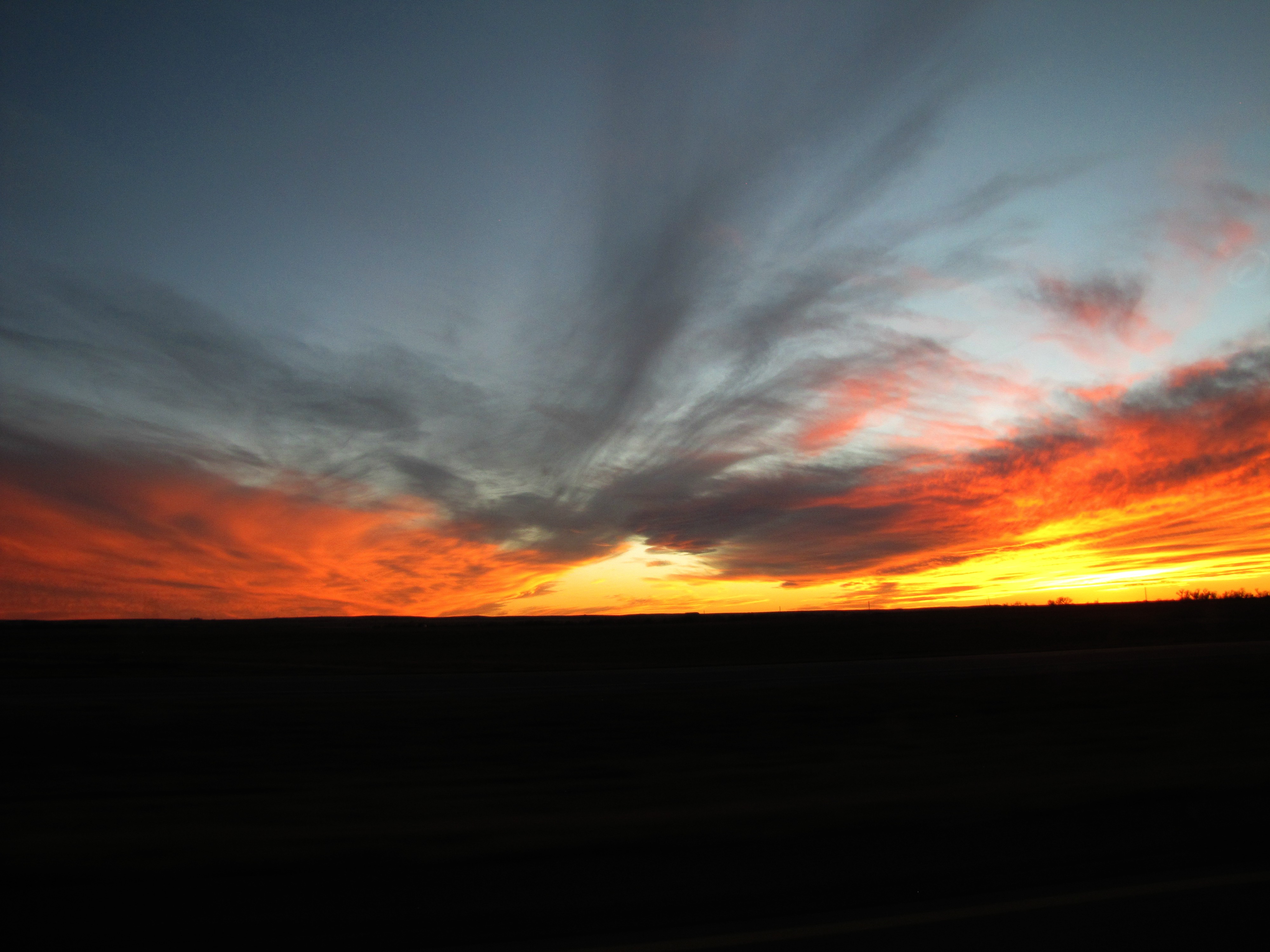
Glory on the high plains

Sunset, WaKeeney, Kansas (2016)
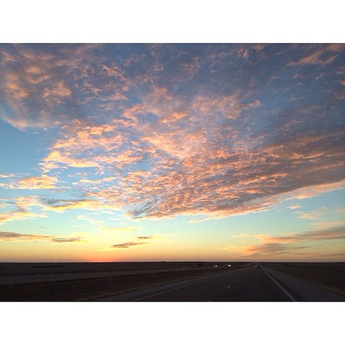
End of Day 2

WaKeeney's Iwo Jima
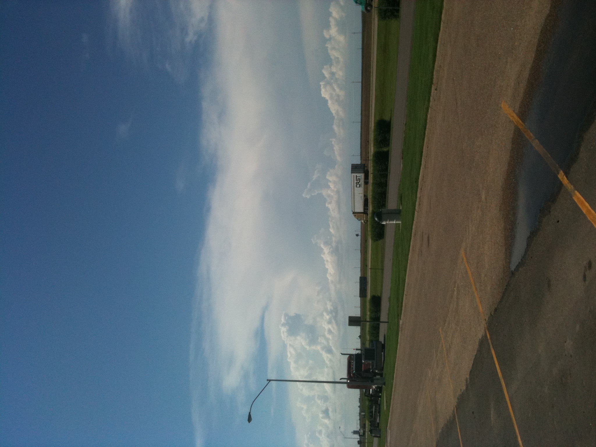
KS 1
2015 June
Wakeeney 004
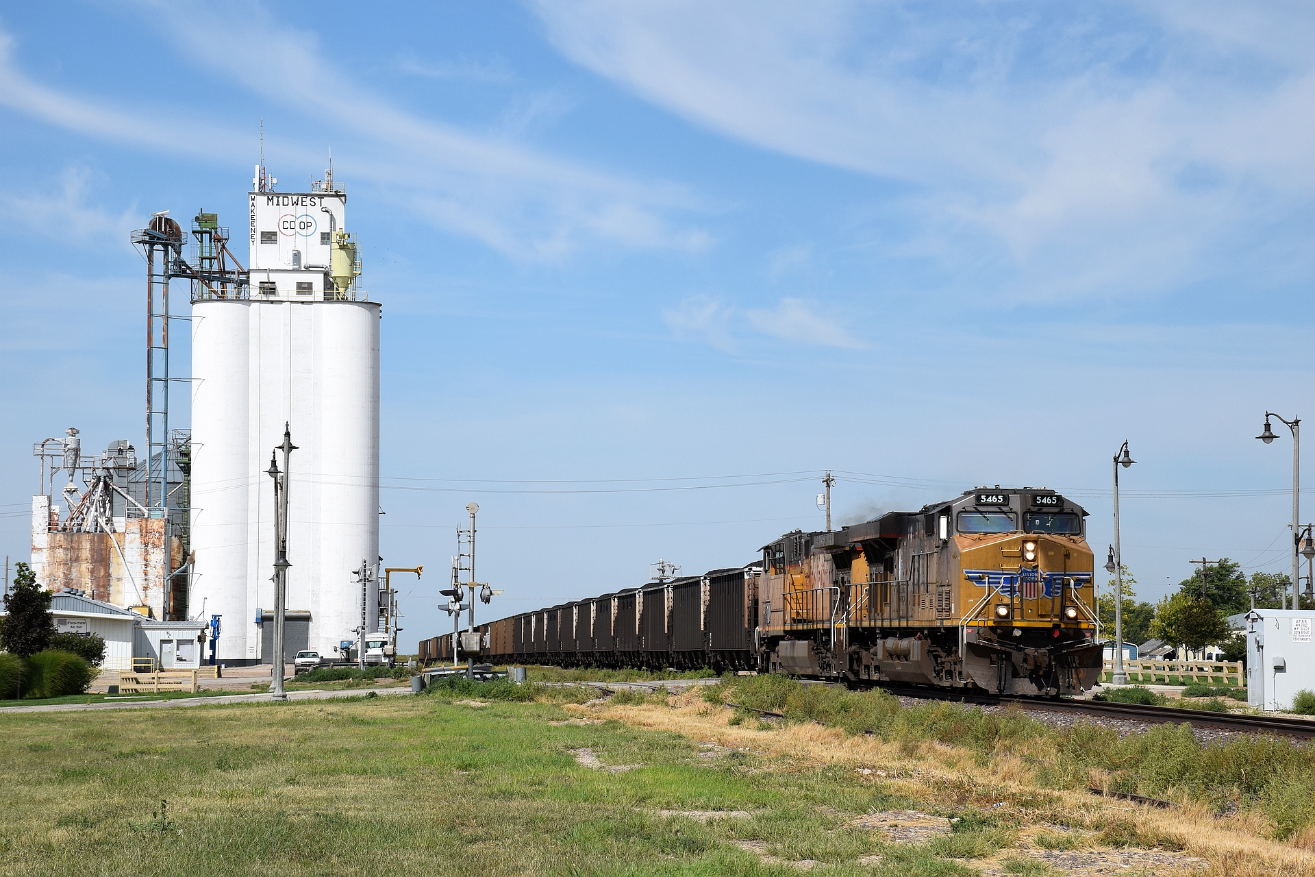
UP 5463 East
UP 5463 East
UP 5371 DPU
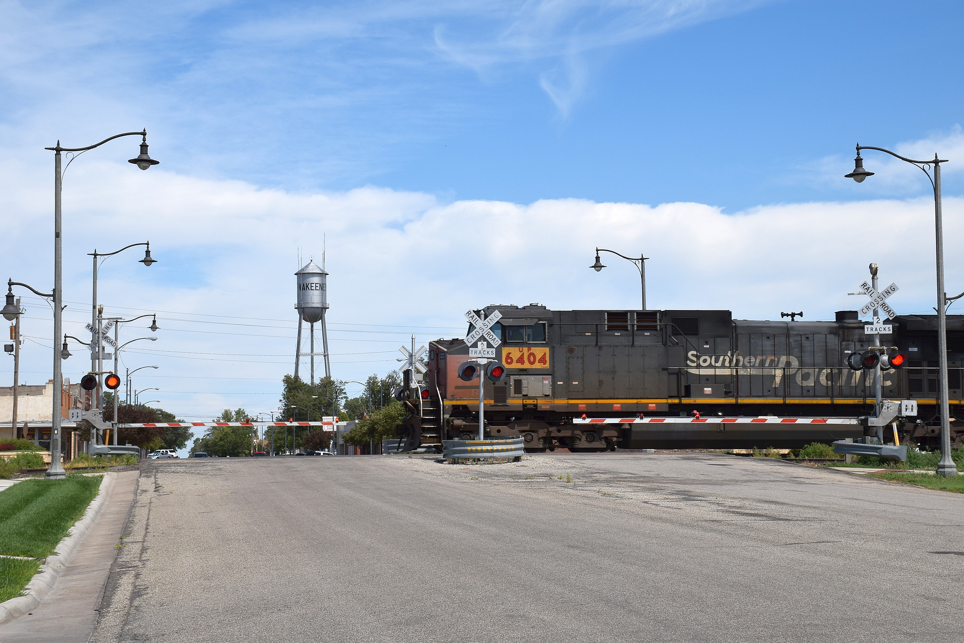
UP 6404 West
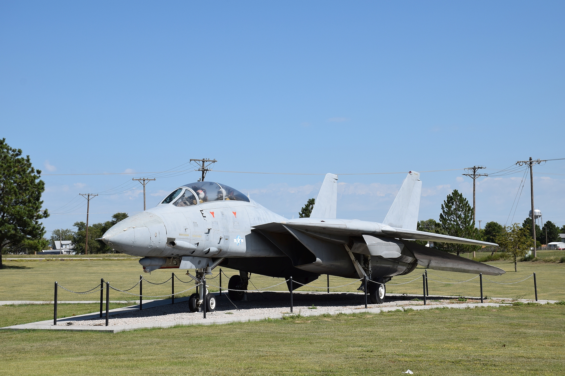
F-14A 'Tomcat'

F-14A 'Tomcat'
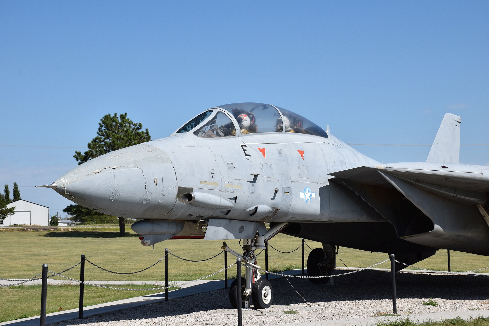
F-14A 'Tomcat'
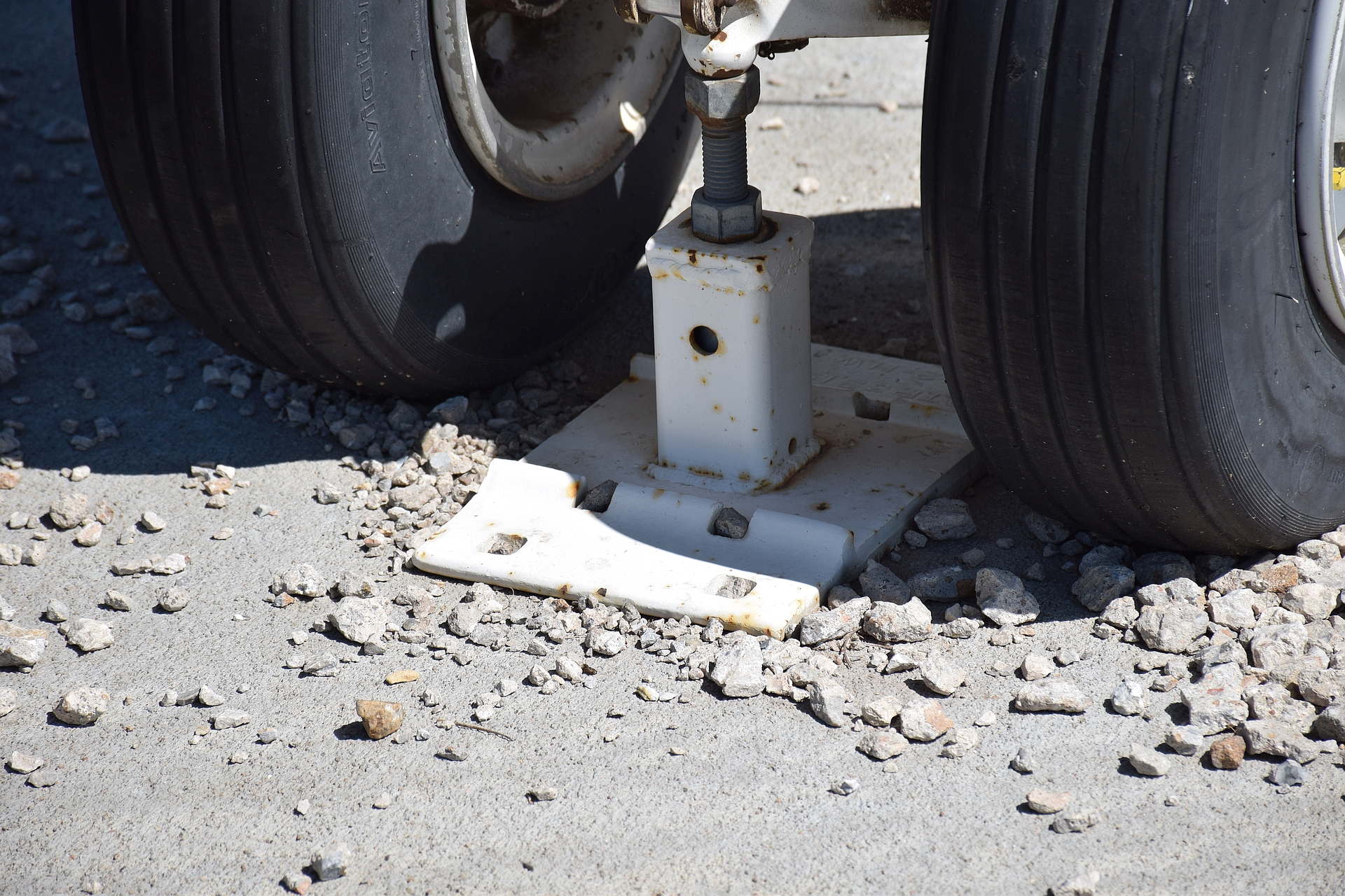
F-14A 'Tomcat'

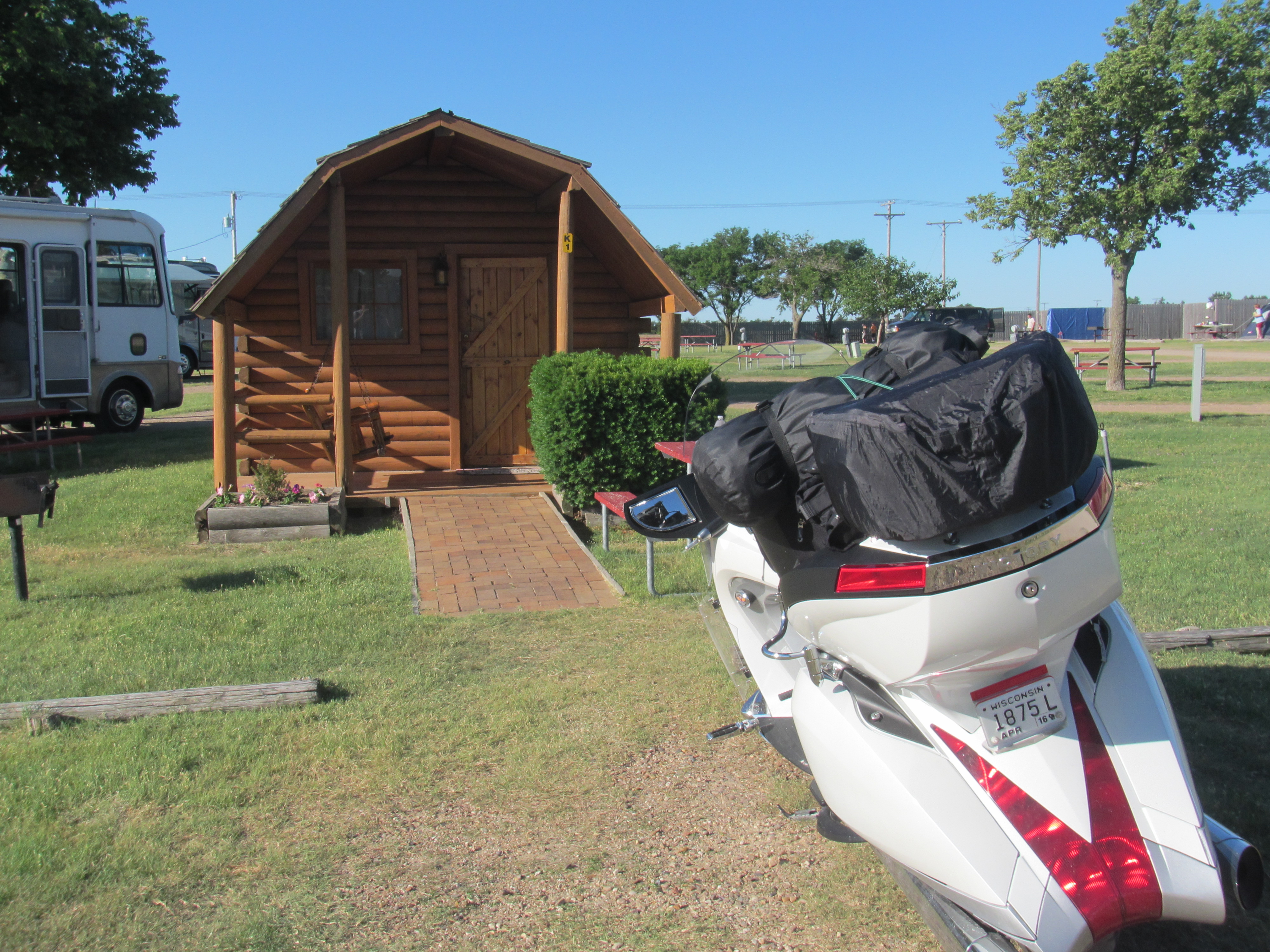
Grabbing photos out my window.. On my way to Colorado with my Canon T70 & FD 75-200mm f/4.5.. W/ Tiffen ORANGE FILTER Loaded with Ilford HP5 #canon #filmisnotdead #ilfordhp5 #film #Tiffen
Ogallah Christian Church (Ogallah, Kansas)

Train passing through Ogallah, Kansas

Ocean of plains, Western Kansas

Snoring his way thru Kansas. #vacation #roadtrip
Old chicken coup. Ellis County, Kansas.
Old chicken coup. In Ellis County, Kansas.
Old chicken coup. In Ellis County, Kansas.
アメリカ合衆国 カンザス州 トレゴの地図
別の場所を検索
アメリカ合衆国 カンザス州 トレゴでの場所
近所の場所
アメリカ合衆国 〒 カンザス州 エリス
Washington St, Ellis, KS アメリカ合衆国
アメリカ合衆国 カンザス州 グラハム
アメリカ合衆国 〒 カンザス州 パルコ
Gum Ave, Palco, KS アメリカ合衆国
アメリカ合衆国 カンザス州 8
アメリカ合衆国 カンザス州 ビッグ・クリーク
アメリカ合衆国 〒 カンザス州 ヘーズ
W 20th St, Hays, KS アメリカ合衆国
Wheatland Ave, Hays, KS アメリカ合衆国
アメリカ合衆国 カンザス州 エリス
11, KS, アメリカ合衆国
アメリカ合衆国 〒 カンザス州 プレインビル
Petersburg St, Hays, KS アメリカ合衆国
Old Hwy 40, Hays, KS アメリカ合衆国
アメリカ合衆国 カンザス州 ウィートランド
アメリカ合衆国 カンザス州 ルークス
アメリカ合衆国 〒 カンザス州 ビクトリア
アメリカ合衆国 カンザス州 ラッシュ
アメリカ合衆国 カンザス州 パイオニア
最近の検索
- アメリカ合衆国 アラスカ州 レッド・ドッグ・マイン日の出日の入り時間
- Am bhf, Borken, ドイツアム・バーンホーフ日の出日の入り時間
- 4th St E, Sonoma, CA, USA日の出日の入り時間
- Oakland Ave, Williamsport, PA アメリカ合衆国日の出日の入り時間
- Via Roma, Pieranica CR, イタリアローマ通り日の出日の入り時間
- クロアチア 〒 ドゥブロブニク GradClock Tower of Dubrovnik日の出日の入り時間
- アルゼンチン チュブ州 トレリュー日の出日の入り時間
- Hartfords Bluff Cir, Mt Pleasant, SC アメリカ合衆国日の出日の入り時間
- 日本、熊本県熊本市北区日の出日の入り時間
- 中華人民共和国 福州市 平潭県 平潭島日の出日の入り時間