Thornton Rd, Thornton, CA アメリカ合衆国日の出日の入り時間
Location: アメリカ合衆国 > カリフォルニア州 > サンホアキン > アメリカ合衆国 カリフォルニア州 ソーントン >
時間帯:
America/Los_Angeles
現地時間:
2025-07-12 12:56:55
経度:
-121.423445
緯度:
38.226187
今日の日の出時刻:
05:53:44 AM
今日の日の入時刻:
08:29:24 PM
今日の日長:
14h 35m 40s
明日の日の出時刻:
05:54:27 AM
明日の日の入時刻:
08:28:54 PM
明日の日長:
14h 34m 27s
すべて表示する
| 日付 | 日出 | 日没 | 日長 |
|---|---|---|---|
| 2025年01月01日 | 07:22:27 AM | 04:57:23 PM | 9h 34m 56s |
| 2025年01月02日 | 07:22:32 AM | 04:58:13 PM | 9h 35m 41s |
| 2025年01月03日 | 07:22:34 AM | 04:59:05 PM | 9h 36m 31s |
| 2025年01月04日 | 07:22:35 AM | 04:59:58 PM | 9h 37m 23s |
| 2025年01月05日 | 07:22:33 AM | 05:00:52 PM | 9h 38m 19s |
| 2025年01月06日 | 07:22:29 AM | 05:01:48 PM | 9h 39m 19s |
| 2025年01月07日 | 07:22:23 AM | 05:02:44 PM | 9h 40m 21s |
| 2025年01月08日 | 07:22:15 AM | 05:03:42 PM | 9h 41m 27s |
| 2025年01月09日 | 07:22:05 AM | 05:04:40 PM | 9h 42m 35s |
| 2025年01月10日 | 07:21:53 AM | 05:05:40 PM | 9h 43m 47s |
| 2025年01月11日 | 07:21:38 AM | 05:06:40 PM | 9h 45m 2s |
| 2025年01月12日 | 07:21:22 AM | 05:07:41 PM | 9h 46m 19s |
| 2025年01月13日 | 07:21:04 AM | 05:08:43 PM | 9h 47m 39s |
| 2025年01月14日 | 07:20:43 AM | 05:09:46 PM | 9h 49m 3s |
| 2025年01月15日 | 07:20:20 AM | 05:10:49 PM | 9h 50m 29s |
| 2025年01月16日 | 07:19:56 AM | 05:11:53 PM | 9h 51m 57s |
| 2025年01月17日 | 07:19:29 AM | 05:12:57 PM | 9h 53m 28s |
| 2025年01月18日 | 07:19:01 AM | 05:14:02 PM | 9h 55m 1s |
| 2025年01月19日 | 07:18:30 AM | 05:15:08 PM | 9h 56m 38s |
| 2025年01月20日 | 07:17:58 AM | 05:16:14 PM | 9h 58m 16s |
| 2025年01月21日 | 07:17:23 AM | 05:17:20 PM | 9h 59m 57s |
| 2025年01月22日 | 07:16:47 AM | 05:18:27 PM | 10h 1m 40s |
| 2025年01月23日 | 07:16:09 AM | 05:19:34 PM | 10h 3m 25s |
| 2025年01月24日 | 07:15:29 AM | 05:20:41 PM | 10h 5m 12s |
| 2025年01月25日 | 07:14:47 AM | 05:21:49 PM | 10h 7m 2s |
| 2025年01月26日 | 07:14:03 AM | 05:22:56 PM | 10h 8m 53s |
| 2025年01月27日 | 07:13:18 AM | 05:24:04 PM | 10h 10m 46s |
| 2025年01月28日 | 07:12:31 AM | 05:25:12 PM | 10h 12m 41s |
| 2025年01月29日 | 07:11:42 AM | 05:26:20 PM | 10h 14m 38s |
| 2025年01月30日 | 07:10:51 AM | 05:27:28 PM | 10h 16m 37s |
| 2025年01月31日 | 07:09:59 AM | 05:28:36 PM | 10h 18m 37s |
| 2025年02月01日 | 07:09:06 AM | 05:29:44 PM | 10h 20m 38s |
| 2025年02月02日 | 07:08:10 AM | 05:30:52 PM | 10h 22m 42s |
| 2025年02月03日 | 07:07:13 AM | 05:32:00 PM | 10h 24m 47s |
| 2025年02月04日 | 07:06:15 AM | 05:33:08 PM | 10h 26m 53s |
| 2025年02月05日 | 07:05:15 AM | 05:34:16 PM | 10h 29m 1s |
| 2025年02月06日 | 07:04:14 AM | 05:35:23 PM | 10h 31m 9s |
| 2025年02月07日 | 07:03:11 AM | 05:36:30 PM | 10h 33m 19s |
| 2025年02月08日 | 07:02:07 AM | 05:37:38 PM | 10h 35m 31s |
| 2025年02月09日 | 07:01:01 AM | 05:38:45 PM | 10h 37m 44s |
| 2025年02月10日 | 06:59:54 AM | 05:39:52 PM | 10h 39m 58s |
| 2025年02月11日 | 06:58:46 AM | 05:40:58 PM | 10h 42m 12s |
| 2025年02月12日 | 06:57:37 AM | 05:42:04 PM | 10h 44m 27s |
| 2025年02月13日 | 06:56:26 AM | 05:43:10 PM | 10h 46m 44s |
| 2025年02月14日 | 06:55:14 AM | 05:44:16 PM | 10h 49m 2s |
| 2025年02月15日 | 06:54:01 AM | 05:45:22 PM | 10h 51m 21s |
| 2025年02月16日 | 06:52:47 AM | 05:46:27 PM | 10h 53m 40s |
| 2025年02月17日 | 06:51:32 AM | 05:47:32 PM | 10h 56m 0s |
| 2025年02月18日 | 06:50:16 AM | 05:48:37 PM | 10h 58m 21s |
| 2025年02月19日 | 06:48:59 AM | 05:49:41 PM | 11h 0m 42s |
| 2025年02月20日 | 06:47:41 AM | 05:50:45 PM | 11h 3m 4s |
| 2025年02月21日 | 06:46:21 AM | 05:51:49 PM | 11h 5m 28s |
| 2025年02月22日 | 06:45:01 AM | 05:52:52 PM | 11h 7m 51s |
| 2025年02月23日 | 06:43:40 AM | 05:53:55 PM | 11h 10m 15s |
| 2025年02月24日 | 06:42:19 AM | 05:54:58 PM | 11h 12m 39s |
| 2025年02月25日 | 06:40:56 AM | 05:56:00 PM | 11h 15m 4s |
| 2025年02月26日 | 06:39:33 AM | 05:57:02 PM | 11h 17m 29s |
| 2025年02月27日 | 06:38:09 AM | 05:58:04 PM | 11h 19m 55s |
| 2025年02月28日 | 06:36:44 AM | 05:59:06 PM | 11h 22m 22s |
| 2025年03月01日 | 06:35:18 AM | 06:00:07 PM | 11h 24m 49s |
| 2025年03月02日 | 06:33:52 AM | 06:01:08 PM | 11h 27m 16s |
| 2025年03月03日 | 06:32:25 AM | 06:02:08 PM | 11h 29m 43s |
| 2025年03月04日 | 06:30:58 AM | 06:03:09 PM | 11h 32m 11s |
| 2025年03月05日 | 06:29:30 AM | 06:04:09 PM | 11h 34m 39s |
| 2025年03月06日 | 06:28:02 AM | 06:05:08 PM | 11h 37m 6s |
| 2025年03月07日 | 06:26:33 AM | 06:06:08 PM | 11h 39m 35s |
| 2025年03月08日 | 06:25:03 AM | 06:07:07 PM | 11h 42m 4s |
| 2025年03月09日 | 07:23:37 AM | 07:08:04 PM | 11h 44m 27s |
| 2025年03月10日 | 07:22:07 AM | 07:09:02 PM | 11h 46m 55s |
| 2025年03月11日 | 07:20:36 AM | 07:10:01 PM | 11h 49m 25s |
| 2025年03月12日 | 07:19:05 AM | 07:10:59 PM | 11h 51m 54s |
| 2025年03月13日 | 07:17:34 AM | 07:11:57 PM | 11h 54m 23s |
| 2025年03月14日 | 07:16:03 AM | 07:12:55 PM | 11h 56m 52s |
| 2025年03月15日 | 07:14:31 AM | 07:13:53 PM | 11h 59m 22s |
| 2025年03月16日 | 07:12:59 AM | 07:14:50 PM | 12h 1m 51s |
| 2025年03月17日 | 07:11:27 AM | 07:15:48 PM | 12h 4m 21s |
| 2025年03月18日 | 07:09:55 AM | 07:16:45 PM | 12h 6m 50s |
| 2025年03月19日 | 07:08:22 AM | 07:17:42 PM | 12h 9m 20s |
| 2025年03月20日 | 07:06:50 AM | 07:18:39 PM | 12h 11m 49s |
| 2025年03月21日 | 07:05:17 AM | 07:19:35 PM | 12h 14m 18s |
| 2025年03月22日 | 07:03:44 AM | 07:20:32 PM | 12h 16m 48s |
| 2025年03月23日 | 07:02:12 AM | 07:21:28 PM | 12h 19m 16s |
| 2025年03月24日 | 07:00:39 AM | 07:22:25 PM | 12h 21m 46s |
| 2025年03月25日 | 06:59:07 AM | 07:23:21 PM | 12h 24m 14s |
| 2025年03月26日 | 06:57:34 AM | 07:24:17 PM | 12h 26m 43s |
| 2025年03月27日 | 06:56:02 AM | 07:25:13 PM | 12h 29m 11s |
| 2025年03月28日 | 06:54:30 AM | 07:26:10 PM | 12h 31m 40s |
| 2025年03月29日 | 06:52:58 AM | 07:27:06 PM | 12h 34m 8s |
| 2025年03月30日 | 06:51:26 AM | 07:28:02 PM | 12h 36m 36s |
| 2025年03月31日 | 06:49:54 AM | 07:28:58 PM | 12h 39m 4s |
| 2025年04月01日 | 06:48:23 AM | 07:29:53 PM | 12h 41m 30s |
| 2025年04月02日 | 06:46:52 AM | 07:30:49 PM | 12h 43m 57s |
| 2025年04月03日 | 06:45:21 AM | 07:31:45 PM | 12h 46m 24s |
| 2025年04月04日 | 06:43:51 AM | 07:32:41 PM | 12h 48m 50s |
| 2025年04月05日 | 06:42:21 AM | 07:33:37 PM | 12h 51m 16s |
| 2025年04月06日 | 06:40:52 AM | 07:34:33 PM | 12h 53m 41s |
| 2025年04月07日 | 06:39:23 AM | 07:35:29 PM | 12h 56m 6s |
| 2025年04月08日 | 06:37:54 AM | 07:36:25 PM | 12h 58m 31s |
| 2025年04月09日 | 06:36:26 AM | 07:37:21 PM | 13h 0m 55s |
| 2025年04月10日 | 06:34:58 AM | 07:38:17 PM | 13h 3m 19s |
| 2025年04月11日 | 06:33:32 AM | 07:39:13 PM | 13h 5m 41s |
| 2025年04月12日 | 06:32:05 AM | 07:40:09 PM | 13h 8m 4s |
| 2025年04月13日 | 06:30:39 AM | 07:41:05 PM | 13h 10m 26s |
| 2025年04月14日 | 06:29:14 AM | 07:42:02 PM | 13h 12m 48s |
| 2025年04月15日 | 06:27:50 AM | 07:42:58 PM | 13h 15m 8s |
| 2025年04月16日 | 06:26:26 AM | 07:43:54 PM | 13h 17m 28s |
| 2025年04月17日 | 06:25:03 AM | 07:44:50 PM | 13h 19m 47s |
| 2025年04月18日 | 06:23:41 AM | 07:45:47 PM | 13h 22m 6s |
| 2025年04月19日 | 06:22:20 AM | 07:46:43 PM | 13h 24m 23s |
| 2025年04月20日 | 06:20:59 AM | 07:47:39 PM | 13h 26m 40s |
| 2025年04月21日 | 06:19:40 AM | 07:48:36 PM | 13h 28m 56s |
| 2025年04月22日 | 06:18:21 AM | 07:49:32 PM | 13h 31m 11s |
| 2025年04月23日 | 06:17:03 AM | 07:50:28 PM | 13h 33m 25s |
| 2025年04月24日 | 06:15:46 AM | 07:51:25 PM | 13h 35m 39s |
| 2025年04月25日 | 06:14:30 AM | 07:52:21 PM | 13h 37m 51s |
| 2025年04月26日 | 06:13:15 AM | 07:53:18 PM | 13h 40m 3s |
| 2025年04月27日 | 06:12:02 AM | 07:54:14 PM | 13h 42m 12s |
| 2025年04月28日 | 06:10:49 AM | 07:55:10 PM | 13h 44m 21s |
| 2025年04月29日 | 06:09:37 AM | 07:56:07 PM | 13h 46m 30s |
| 2025年04月30日 | 06:08:27 AM | 07:57:03 PM | 13h 48m 36s |
| 2025年05月01日 | 06:07:18 AM | 07:57:59 PM | 13h 50m 41s |
| 2025年05月02日 | 06:06:09 AM | 07:58:55 PM | 13h 52m 46s |
| 2025年05月03日 | 06:05:03 AM | 07:59:51 PM | 13h 54m 48s |
| 2025年05月04日 | 06:03:57 AM | 08:00:46 PM | 13h 56m 49s |
| 2025年05月05日 | 06:02:53 AM | 08:01:42 PM | 13h 58m 49s |
| 2025年05月06日 | 06:01:50 AM | 08:02:37 PM | 14h 0m 47s |
| 2025年05月07日 | 06:00:48 AM | 08:03:32 PM | 14h 2m 44s |
| 2025年05月08日 | 05:59:48 AM | 08:04:27 PM | 14h 4m 39s |
| 2025年05月09日 | 05:58:49 AM | 08:05:22 PM | 14h 6m 33s |
| 2025年05月10日 | 05:57:51 AM | 08:06:16 PM | 14h 8m 25s |
| 2025年05月11日 | 05:56:55 AM | 08:07:11 PM | 14h 10m 16s |
| 2025年05月12日 | 05:56:01 AM | 08:08:04 PM | 14h 12m 3s |
| 2025年05月13日 | 05:55:08 AM | 08:08:58 PM | 14h 13m 50s |
| 2025年05月14日 | 05:54:16 AM | 08:09:51 PM | 14h 15m 35s |
| 2025年05月15日 | 05:53:26 AM | 08:10:43 PM | 14h 17m 17s |
| 2025年05月16日 | 05:52:38 AM | 08:11:35 PM | 14h 18m 57s |
| 2025年05月17日 | 05:51:51 AM | 08:12:27 PM | 14h 20m 36s |
| 2025年05月18日 | 05:51:06 AM | 08:13:18 PM | 14h 22m 12s |
| 2025年05月19日 | 05:50:22 AM | 08:14:09 PM | 14h 23m 47s |
| 2025年05月20日 | 05:49:40 AM | 08:14:59 PM | 14h 25m 19s |
| 2025年05月21日 | 05:49:00 AM | 08:15:48 PM | 14h 26m 48s |
| 2025年05月22日 | 05:48:22 AM | 08:16:37 PM | 14h 28m 15s |
| 2025年05月23日 | 05:47:45 AM | 08:17:25 PM | 14h 29m 40s |
| 2025年05月24日 | 05:47:10 AM | 08:18:12 PM | 14h 31m 2s |
| 2025年05月25日 | 05:46:36 AM | 08:18:59 PM | 14h 32m 23s |
| 2025年05月26日 | 05:46:05 AM | 08:19:44 PM | 14h 33m 39s |
| 2025年05月27日 | 05:45:35 AM | 08:20:29 PM | 14h 34m 54s |
| 2025年05月28日 | 05:45:07 AM | 08:21:13 PM | 14h 36m 6s |
| 2025年05月29日 | 05:44:41 AM | 08:21:56 PM | 14h 37m 15s |
| 2025年05月30日 | 05:44:17 AM | 08:22:38 PM | 14h 38m 21s |
| 2025年05月31日 | 05:43:54 AM | 08:23:19 PM | 14h 39m 25s |
| 2025年06月01日 | 05:43:33 AM | 08:23:59 PM | 14h 40m 26s |
| 2025年06月02日 | 05:43:14 AM | 08:24:38 PM | 14h 41m 24s |
| 2025年06月03日 | 05:42:57 AM | 08:25:15 PM | 14h 42m 18s |
| 2025年06月04日 | 05:42:42 AM | 08:25:52 PM | 14h 43m 10s |
| 2025年06月05日 | 05:42:29 AM | 08:26:27 PM | 14h 43m 58s |
| 2025年06月06日 | 05:42:17 AM | 08:27:01 PM | 14h 44m 44s |
| 2025年06月07日 | 05:42:07 AM | 08:27:34 PM | 14h 45m 27s |
| 2025年06月08日 | 05:42:00 AM | 08:28:06 PM | 14h 46m 6s |
| 2025年06月09日 | 05:41:53 AM | 08:28:36 PM | 14h 46m 43s |
| 2025年06月10日 | 05:41:49 AM | 08:29:04 PM | 14h 47m 15s |
| 2025年06月11日 | 05:41:47 AM | 08:29:32 PM | 14h 47m 45s |
| 2025年06月12日 | 05:41:46 AM | 08:29:57 PM | 14h 48m 11s |
| 2025年06月13日 | 05:41:47 AM | 08:30:22 PM | 14h 48m 35s |
| 2025年06月14日 | 05:41:50 AM | 08:30:45 PM | 14h 48m 55s |
| 2025年06月15日 | 05:41:55 AM | 08:31:06 PM | 14h 49m 11s |
| 2025年06月16日 | 05:42:01 AM | 08:31:25 PM | 14h 49m 24s |
| 2025年06月17日 | 05:42:09 AM | 08:31:44 PM | 14h 49m 35s |
| 2025年06月18日 | 05:42:19 AM | 08:32:00 PM | 14h 49m 41s |
| 2025年06月19日 | 05:42:30 AM | 08:32:15 PM | 14h 49m 45s |
| 2025年06月20日 | 05:42:43 AM | 08:32:28 PM | 14h 49m 45s |
| 2025年06月21日 | 05:42:58 AM | 08:32:39 PM | 14h 49m 41s |
| 2025年06月22日 | 05:43:15 AM | 08:32:48 PM | 14h 49m 33s |
| 2025年06月23日 | 05:43:32 AM | 08:32:56 PM | 14h 49m 24s |
| 2025年06月24日 | 05:43:52 AM | 08:33:02 PM | 14h 49m 10s |
| 2025年06月25日 | 05:44:13 AM | 08:33:06 PM | 14h 48m 53s |
| 2025年06月26日 | 05:44:35 AM | 08:33:09 PM | 14h 48m 34s |
| 2025年06月27日 | 05:44:59 AM | 08:33:09 PM | 14h 48m 10s |
| 2025年06月28日 | 05:45:25 AM | 08:33:08 PM | 14h 47m 43s |
| 2025年06月29日 | 05:45:51 AM | 08:33:05 PM | 14h 47m 14s |
| 2025年06月30日 | 05:46:20 AM | 08:33:00 PM | 14h 46m 40s |
| 2025年07月01日 | 05:46:49 AM | 08:32:53 PM | 14h 46m 4s |
| 2025年07月02日 | 05:47:20 AM | 08:32:45 PM | 14h 45m 25s |
| 2025年07月03日 | 05:47:52 AM | 08:32:34 PM | 14h 44m 42s |
| 2025年07月04日 | 05:48:25 AM | 08:32:22 PM | 14h 43m 57s |
| 2025年07月05日 | 05:48:59 AM | 08:32:07 PM | 14h 43m 8s |
| 2025年07月06日 | 05:49:35 AM | 08:31:51 PM | 14h 42m 16s |
| 2025年07月07日 | 05:50:11 AM | 08:31:33 PM | 14h 41m 22s |
| 2025年07月08日 | 05:50:49 AM | 08:31:13 PM | 14h 40m 24s |
| 2025年07月09日 | 05:51:27 AM | 08:30:51 PM | 14h 39m 24s |
| 2025年07月10日 | 05:52:07 AM | 08:30:28 PM | 14h 38m 21s |
| 2025年07月11日 | 05:52:47 AM | 08:30:02 PM | 14h 37m 15s |
| 2025年07月12日 | 05:53:29 AM | 08:29:35 PM | 14h 36m 6s |
| 2025年07月13日 | 05:54:11 AM | 08:29:06 PM | 14h 34m 55s |
| 2025年07月14日 | 05:54:54 AM | 08:28:35 PM | 14h 33m 41s |
| 2025年07月15日 | 05:55:38 AM | 08:28:02 PM | 14h 32m 24s |
| 2025年07月16日 | 05:56:23 AM | 08:27:27 PM | 14h 31m 4s |
| 2025年07月17日 | 05:57:08 AM | 08:26:51 PM | 14h 29m 43s |
| 2025年07月18日 | 05:57:54 AM | 08:26:13 PM | 14h 28m 19s |
| 2025年07月19日 | 05:58:40 AM | 08:25:33 PM | 14h 26m 53s |
| 2025年07月20日 | 05:59:28 AM | 08:24:51 PM | 14h 25m 23s |
| 2025年07月21日 | 06:00:15 AM | 08:24:08 PM | 14h 23m 53s |
| 2025年07月22日 | 06:01:04 AM | 08:23:23 PM | 14h 22m 19s |
| 2025年07月23日 | 06:01:52 AM | 08:22:37 PM | 14h 20m 45s |
| 2025年07月24日 | 06:02:41 AM | 08:21:48 PM | 14h 19m 7s |
| 2025年07月25日 | 06:03:31 AM | 08:20:58 PM | 14h 17m 27s |
| 2025年07月26日 | 06:04:21 AM | 08:20:07 PM | 14h 15m 46s |
| 2025年07月27日 | 06:05:11 AM | 08:19:14 PM | 14h 14m 3s |
| 2025年07月28日 | 06:06:02 AM | 08:18:19 PM | 14h 12m 17s |
| 2025年07月29日 | 06:06:53 AM | 08:17:23 PM | 14h 10m 30s |
| 2025年07月30日 | 06:07:44 AM | 08:16:26 PM | 14h 8m 42s |
| 2025年07月31日 | 06:08:36 AM | 08:15:27 PM | 14h 6m 51s |
| 2025年08月01日 | 06:09:28 AM | 08:14:26 PM | 14h 4m 58s |
| 2025年08月02日 | 06:10:20 AM | 08:13:24 PM | 14h 3m 4s |
| 2025年08月03日 | 06:11:12 AM | 08:12:21 PM | 14h 1m 9s |
| 2025年08月04日 | 06:12:04 AM | 08:11:17 PM | 13h 59m 13s |
| 2025年08月05日 | 06:12:56 AM | 08:10:11 PM | 13h 57m 15s |
| 2025年08月06日 | 06:13:49 AM | 08:09:03 PM | 13h 55m 14s |
| 2025年08月07日 | 06:14:41 AM | 08:07:55 PM | 13h 53m 14s |
| 2025年08月08日 | 06:15:34 AM | 08:06:45 PM | 13h 51m 11s |
| 2025年08月09日 | 06:16:27 AM | 08:05:34 PM | 13h 49m 7s |
| 2025年08月10日 | 06:17:19 AM | 08:04:22 PM | 13h 47m 3s |
| 2025年08月11日 | 06:18:12 AM | 08:03:09 PM | 13h 44m 57s |
| 2025年08月12日 | 06:19:05 AM | 08:01:55 PM | 13h 42m 50s |
| 2025年08月13日 | 06:19:58 AM | 08:00:39 PM | 13h 40m 41s |
| 2025年08月14日 | 06:20:50 AM | 07:59:23 PM | 13h 38m 33s |
| 2025年08月15日 | 06:21:43 AM | 07:58:05 PM | 13h 36m 22s |
| 2025年08月16日 | 06:22:36 AM | 07:56:47 PM | 13h 34m 11s |
| 2025年08月17日 | 06:23:29 AM | 07:55:27 PM | 13h 31m 58s |
| 2025年08月18日 | 06:24:21 AM | 07:54:07 PM | 13h 29m 46s |
| 2025年08月19日 | 06:25:14 AM | 07:52:45 PM | 13h 27m 31s |
| 2025年08月20日 | 06:26:06 AM | 07:51:23 PM | 13h 25m 17s |
| 2025年08月21日 | 06:26:59 AM | 07:50:00 PM | 13h 23m 1s |
| 2025年08月22日 | 06:27:51 AM | 07:48:36 PM | 13h 20m 45s |
| 2025年08月23日 | 06:28:44 AM | 07:47:11 PM | 13h 18m 27s |
| 2025年08月24日 | 06:29:36 AM | 07:45:46 PM | 13h 16m 10s |
| 2025年08月25日 | 06:30:28 AM | 07:44:20 PM | 13h 13m 52s |
| 2025年08月26日 | 06:31:20 AM | 07:42:53 PM | 13h 11m 33s |
| 2025年08月27日 | 06:32:12 AM | 07:41:25 PM | 13h 9m 13s |
| 2025年08月28日 | 06:33:04 AM | 07:39:57 PM | 13h 6m 53s |
| 2025年08月29日 | 06:33:56 AM | 07:38:28 PM | 13h 4m 32s |
| 2025年08月30日 | 06:34:48 AM | 07:36:59 PM | 13h 2m 11s |
| 2025年08月31日 | 06:35:40 AM | 07:35:29 PM | 12h 59m 49s |
| 2025年09月01日 | 06:36:31 AM | 07:33:58 PM | 12h 57m 27s |
| 2025年09月02日 | 06:37:23 AM | 07:32:27 PM | 12h 55m 4s |
| 2025年09月03日 | 06:38:15 AM | 07:30:56 PM | 12h 52m 41s |
| 2025年09月04日 | 06:39:06 AM | 07:29:24 PM | 12h 50m 18s |
| 2025年09月05日 | 06:39:58 AM | 07:27:52 PM | 12h 47m 54s |
| 2025年09月06日 | 06:40:50 AM | 07:26:19 PM | 12h 45m 29s |
| 2025年09月07日 | 06:41:41 AM | 07:24:46 PM | 12h 43m 5s |
| 2025年09月08日 | 06:42:33 AM | 07:23:13 PM | 12h 40m 40s |
| 2025年09月09日 | 06:43:24 AM | 07:21:39 PM | 12h 38m 15s |
| 2025年09月10日 | 06:44:16 AM | 07:20:06 PM | 12h 35m 50s |
| 2025年09月11日 | 06:45:07 AM | 07:18:32 PM | 12h 33m 25s |
| 2025年09月12日 | 06:45:59 AM | 07:16:57 PM | 12h 30m 58s |
| 2025年09月13日 | 06:46:51 AM | 07:15:23 PM | 12h 28m 32s |
| 2025年09月14日 | 06:47:42 AM | 07:13:48 PM | 12h 26m 6s |
| 2025年09月15日 | 06:48:34 AM | 07:12:14 PM | 12h 23m 40s |
| 2025年09月16日 | 06:49:26 AM | 07:10:39 PM | 12h 21m 13s |
| 2025年09月17日 | 06:50:18 AM | 07:09:04 PM | 12h 18m 46s |
| 2025年09月18日 | 06:51:10 AM | 07:07:29 PM | 12h 16m 19s |
| 2025年09月19日 | 06:52:02 AM | 07:05:55 PM | 12h 13m 53s |
| 2025年09月20日 | 06:52:54 AM | 07:04:20 PM | 12h 11m 26s |
| 2025年09月21日 | 06:53:47 AM | 07:02:45 PM | 12h 8m 58s |
| 2025年09月22日 | 06:54:39 AM | 07:01:10 PM | 12h 6m 31s |
| 2025年09月23日 | 06:55:32 AM | 06:59:36 PM | 12h 4m 4s |
| 2025年09月24日 | 06:56:25 AM | 06:58:02 PM | 12h 1m 37s |
| 2025年09月25日 | 06:57:18 AM | 06:56:27 PM | 11h 59m 9s |
| 2025年09月26日 | 06:58:11 AM | 06:54:54 PM | 11h 56m 43s |
| 2025年09月27日 | 06:59:04 AM | 06:53:20 PM | 11h 54m 16s |
| 2025年09月28日 | 06:59:58 AM | 06:51:46 PM | 11h 51m 48s |
| 2025年09月29日 | 07:00:52 AM | 06:50:13 PM | 11h 49m 21s |
| 2025年09月30日 | 07:01:46 AM | 06:48:40 PM | 11h 46m 54s |
| 2025年10月01日 | 07:02:40 AM | 06:47:08 PM | 11h 44m 28s |
| 2025年10月02日 | 07:03:34 AM | 06:45:36 PM | 11h 42m 2s |
| 2025年10月03日 | 07:04:29 AM | 06:44:04 PM | 11h 39m 35s |
| 2025年10月04日 | 07:05:24 AM | 06:42:33 PM | 11h 37m 9s |
| 2025年10月05日 | 07:06:20 AM | 06:41:03 PM | 11h 34m 43s |
| 2025年10月06日 | 07:07:15 AM | 06:39:32 PM | 11h 32m 17s |
| 2025年10月07日 | 07:08:11 AM | 06:38:03 PM | 11h 29m 52s |
| 2025年10月08日 | 07:09:07 AM | 06:36:34 PM | 11h 27m 27s |
| 2025年10月09日 | 07:10:04 AM | 06:35:05 PM | 11h 25m 1s |
| 2025年10月10日 | 07:11:01 AM | 06:33:38 PM | 11h 22m 37s |
| 2025年10月11日 | 07:11:58 AM | 06:32:11 PM | 11h 20m 13s |
| 2025年10月12日 | 07:12:55 AM | 06:30:44 PM | 11h 17m 49s |
| 2025年10月13日 | 07:13:53 AM | 06:29:18 PM | 11h 15m 25s |
| 2025年10月14日 | 07:14:51 AM | 06:27:54 PM | 11h 13m 3s |
| 2025年10月15日 | 07:15:50 AM | 06:26:29 PM | 11h 10m 39s |
| 2025年10月16日 | 07:16:49 AM | 06:25:06 PM | 11h 8m 17s |
| 2025年10月17日 | 07:17:48 AM | 06:23:44 PM | 11h 5m 56s |
| 2025年10月18日 | 07:18:47 AM | 06:22:22 PM | 11h 3m 35s |
| 2025年10月19日 | 07:19:47 AM | 06:21:02 PM | 11h 1m 15s |
| 2025年10月20日 | 07:20:47 AM | 06:19:42 PM | 10h 58m 55s |
| 2025年10月21日 | 07:21:48 AM | 06:18:24 PM | 10h 56m 36s |
| 2025年10月22日 | 07:22:49 AM | 06:17:06 PM | 10h 54m 17s |
| 2025年10月23日 | 07:23:50 AM | 06:15:50 PM | 10h 52m 0s |
| 2025年10月24日 | 07:24:52 AM | 06:14:34 PM | 10h 49m 42s |
| 2025年10月25日 | 07:25:53 AM | 06:13:20 PM | 10h 47m 27s |
| 2025年10月26日 | 07:26:56 AM | 06:12:07 PM | 10h 45m 11s |
| 2025年10月27日 | 07:27:58 AM | 06:10:55 PM | 10h 42m 57s |
| 2025年10月28日 | 07:29:01 AM | 06:09:44 PM | 10h 40m 43s |
| 2025年10月29日 | 07:30:04 AM | 06:08:35 PM | 10h 38m 31s |
| 2025年10月30日 | 07:31:07 AM | 06:07:27 PM | 10h 36m 20s |
| 2025年10月31日 | 07:32:11 AM | 06:06:20 PM | 10h 34m 9s |
| 2025年11月01日 | 07:33:14 AM | 06:05:15 PM | 10h 32m 1s |
| 2025年11月02日 | 06:34:21 AM | 05:04:08 PM | 10h 29m 47s |
| 2025年11月03日 | 06:35:25 AM | 05:03:06 PM | 10h 27m 41s |
| 2025年11月04日 | 06:36:30 AM | 05:02:05 PM | 10h 25m 35s |
| 2025年11月05日 | 06:37:34 AM | 05:01:05 PM | 10h 23m 31s |
| 2025年11月06日 | 06:38:39 AM | 05:00:07 PM | 10h 21m 28s |
| 2025年11月07日 | 06:39:44 AM | 04:59:11 PM | 10h 19m 27s |
| 2025年11月08日 | 06:40:49 AM | 04:58:16 PM | 10h 17m 27s |
| 2025年11月09日 | 06:41:54 AM | 04:57:23 PM | 10h 15m 29s |
| 2025年11月10日 | 06:42:59 AM | 04:56:32 PM | 10h 13m 33s |
| 2025年11月11日 | 06:44:03 AM | 04:55:42 PM | 10h 11m 39s |
| 2025年11月12日 | 06:45:08 AM | 04:54:54 PM | 10h 9m 46s |
| 2025年11月13日 | 06:46:13 AM | 04:54:08 PM | 10h 7m 55s |
| 2025年11月14日 | 06:47:18 AM | 04:53:23 PM | 10h 6m 5s |
| 2025年11月15日 | 06:48:23 AM | 04:52:41 PM | 10h 4m 18s |
| 2025年11月16日 | 06:49:27 AM | 04:52:00 PM | 10h 2m 33s |
| 2025年11月17日 | 06:50:31 AM | 04:51:21 PM | 10h 0m 50s |
| 2025年11月18日 | 06:51:35 AM | 04:50:44 PM | 9h 59m 9s |
| 2025年11月19日 | 06:52:39 AM | 04:50:09 PM | 9h 57m 30s |
| 2025年11月20日 | 06:53:43 AM | 04:49:35 PM | 9h 55m 52s |
| 2025年11月21日 | 06:54:46 AM | 04:49:04 PM | 9h 54m 18s |
| 2025年11月22日 | 06:55:48 AM | 04:48:35 PM | 9h 52m 47s |
| 2025年11月23日 | 06:56:50 AM | 04:48:08 PM | 9h 51m 18s |
| 2025年11月24日 | 06:57:52 AM | 04:47:43 PM | 9h 49m 51s |
| 2025年11月25日 | 06:58:53 AM | 04:47:20 PM | 9h 48m 27s |
| 2025年11月26日 | 06:59:53 AM | 04:46:59 PM | 9h 47m 6s |
| 2025年11月27日 | 07:00:53 AM | 04:46:40 PM | 9h 45m 47s |
| 2025年11月28日 | 07:01:52 AM | 04:46:23 PM | 9h 44m 31s |
| 2025年11月29日 | 07:02:50 AM | 04:46:08 PM | 9h 43m 18s |
| 2025年11月30日 | 07:03:48 AM | 04:45:55 PM | 9h 42m 7s |
| 2025年12月01日 | 07:04:45 AM | 04:45:45 PM | 9h 41m 0s |
| 2025年12月02日 | 07:05:40 AM | 04:45:37 PM | 9h 39m 57s |
| 2025年12月03日 | 07:06:35 AM | 04:45:30 PM | 9h 38m 55s |
| 2025年12月04日 | 07:07:29 AM | 04:45:26 PM | 9h 37m 57s |
| 2025年12月05日 | 07:08:21 AM | 04:45:24 PM | 9h 37m 3s |
| 2025年12月06日 | 07:09:13 AM | 04:45:25 PM | 9h 36m 12s |
| 2025年12月07日 | 07:10:03 AM | 04:45:27 PM | 9h 35m 24s |
| 2025年12月08日 | 07:10:52 AM | 04:45:32 PM | 9h 34m 40s |
| 2025年12月09日 | 07:11:40 AM | 04:45:38 PM | 9h 33m 58s |
| 2025年12月10日 | 07:12:26 AM | 04:45:47 PM | 9h 33m 21s |
| 2025年12月11日 | 07:13:11 AM | 04:45:58 PM | 9h 32m 47s |
| 2025年12月12日 | 07:13:55 AM | 04:46:11 PM | 9h 32m 16s |
| 2025年12月13日 | 07:14:37 AM | 04:46:26 PM | 9h 31m 49s |
| 2025年12月14日 | 07:15:18 AM | 04:46:43 PM | 9h 31m 25s |
| 2025年12月15日 | 07:15:57 AM | 04:47:02 PM | 9h 31m 5s |
| 2025年12月16日 | 07:16:35 AM | 04:47:23 PM | 9h 30m 48s |
| 2025年12月17日 | 07:17:10 AM | 04:47:46 PM | 9h 30m 36s |
| 2025年12月18日 | 07:17:45 AM | 04:48:11 PM | 9h 30m 26s |
| 2025年12月19日 | 07:18:17 AM | 04:48:39 PM | 9h 30m 22s |
| 2025年12月20日 | 07:18:48 AM | 04:49:08 PM | 9h 30m 20s |
| 2025年12月21日 | 07:19:16 AM | 04:49:38 PM | 9h 30m 22s |
| 2025年12月22日 | 07:19:43 AM | 04:50:11 PM | 9h 30m 28s |
| 2025年12月23日 | 07:20:08 AM | 04:50:46 PM | 9h 30m 38s |
| 2025年12月24日 | 07:20:32 AM | 04:51:22 PM | 9h 30m 50s |
| 2025年12月25日 | 07:20:53 AM | 04:52:00 PM | 9h 31m 7s |
| 2025年12月26日 | 07:21:12 AM | 04:52:39 PM | 9h 31m 27s |
| 2025年12月27日 | 07:21:30 AM | 04:53:21 PM | 9h 31m 51s |
| 2025年12月28日 | 07:21:45 AM | 04:54:04 PM | 9h 32m 19s |
| 2025年12月29日 | 07:21:58 AM | 04:54:48 PM | 9h 32m 50s |
| 2025年12月30日 | 07:22:09 AM | 04:55:34 PM | 9h 33m 25s |
| 2025年12月31日 | 07:22:19 AM | 04:56:22 PM | 9h 34m 3s |
写真

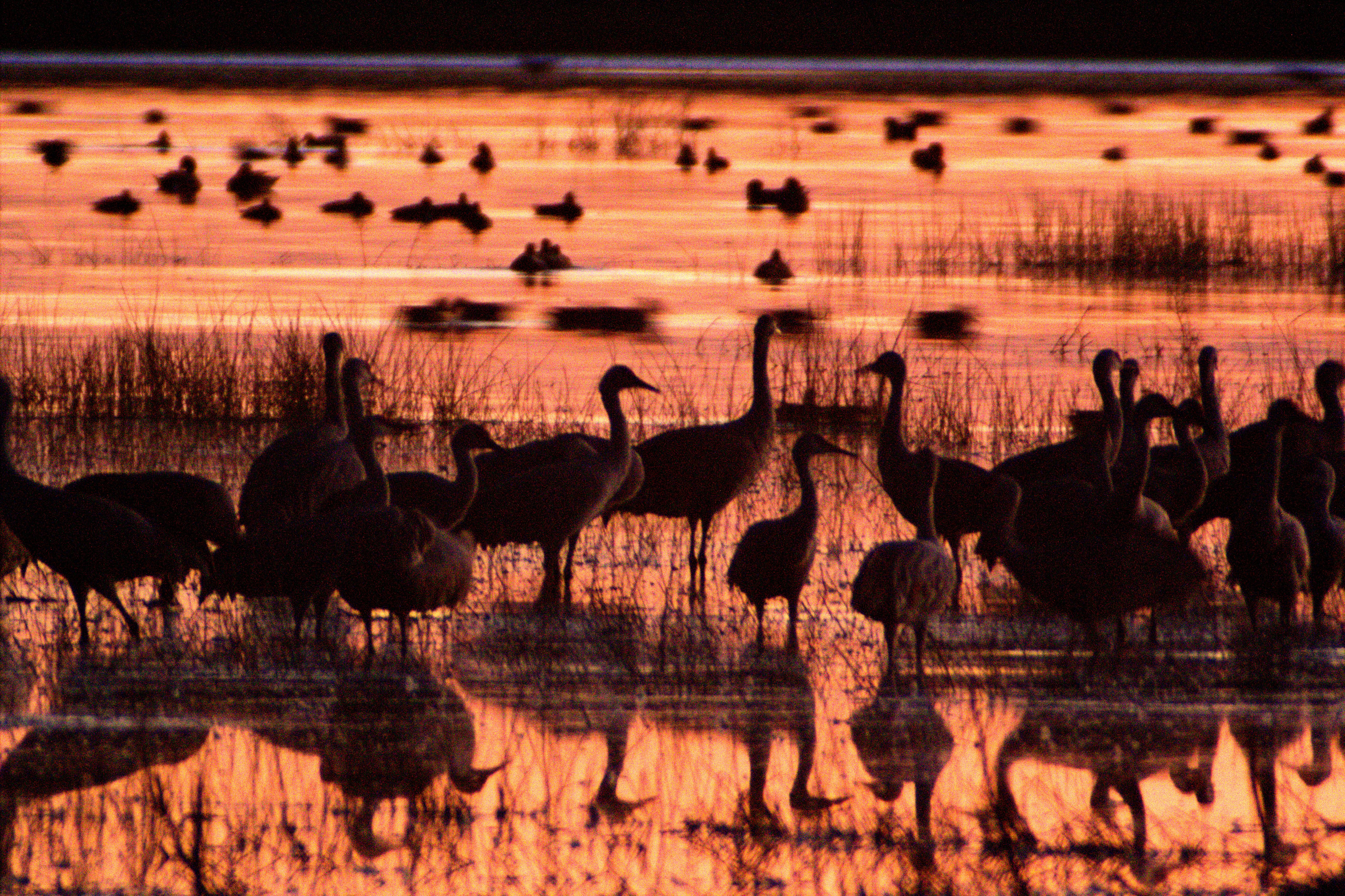
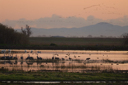
Sandhill Cranes - Misty Morning Flight of the Sandhill Cranes - Consumnes River Preserve - Sacramento County, California

End of Day
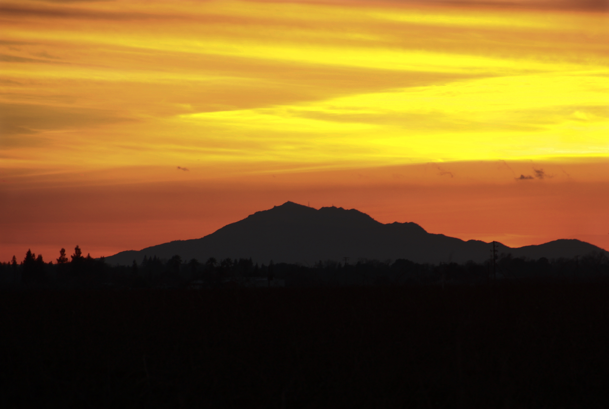
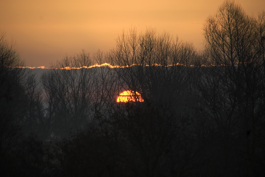
Mt. Diablo Sunset
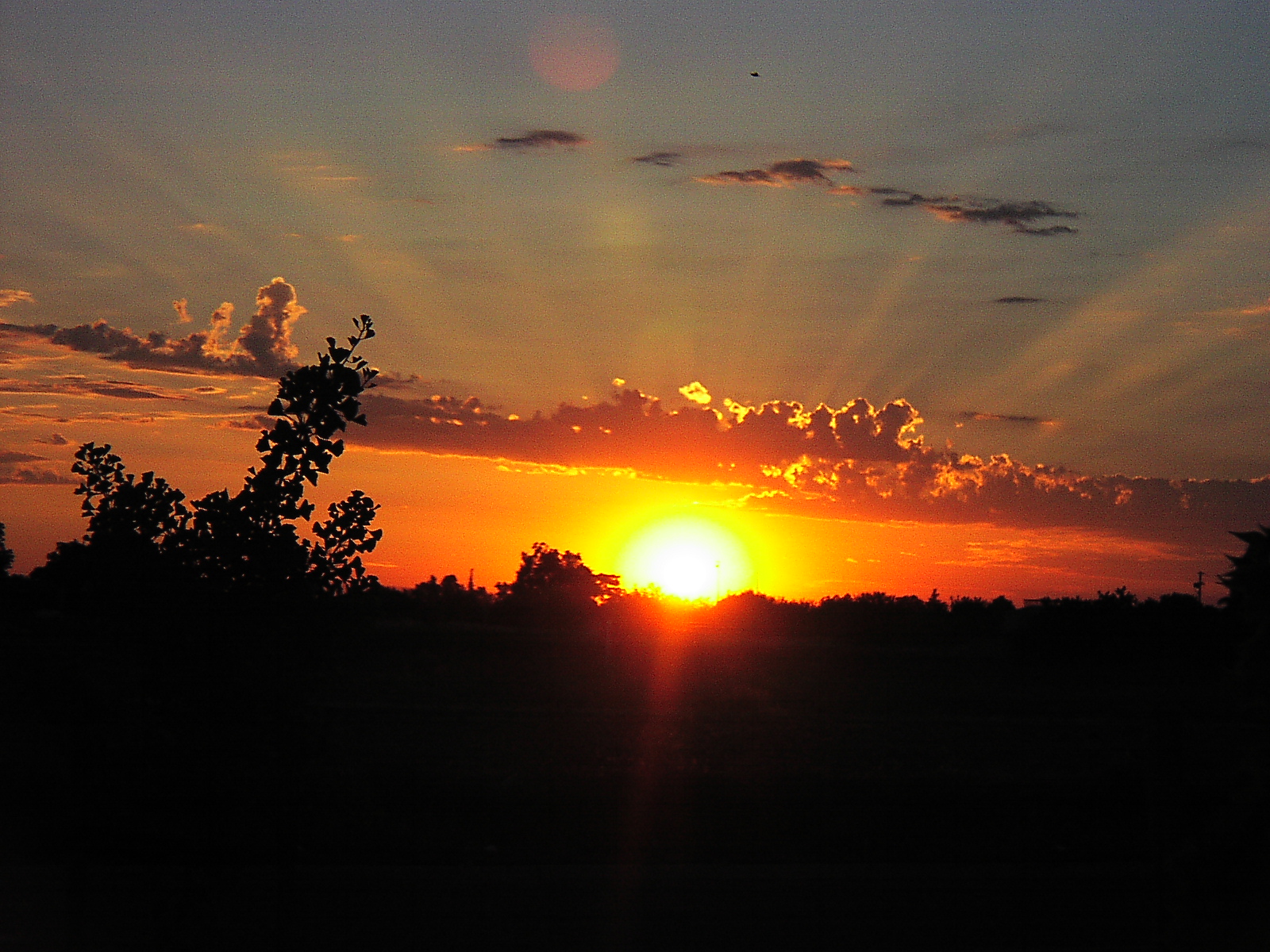
Sunset 3

Sunset 2
Reflections of a sunset
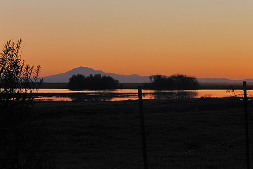
Mount Diablo at sunset, Woodbridge Ecological Reserve

The Sweet Noisy Of Wood Bridge,CA
Sandhill Cranes and Tundra Swans at sunset, Woodbridge Ecological Reserve

Sunset Flag Field

Sunset at Cosumnes
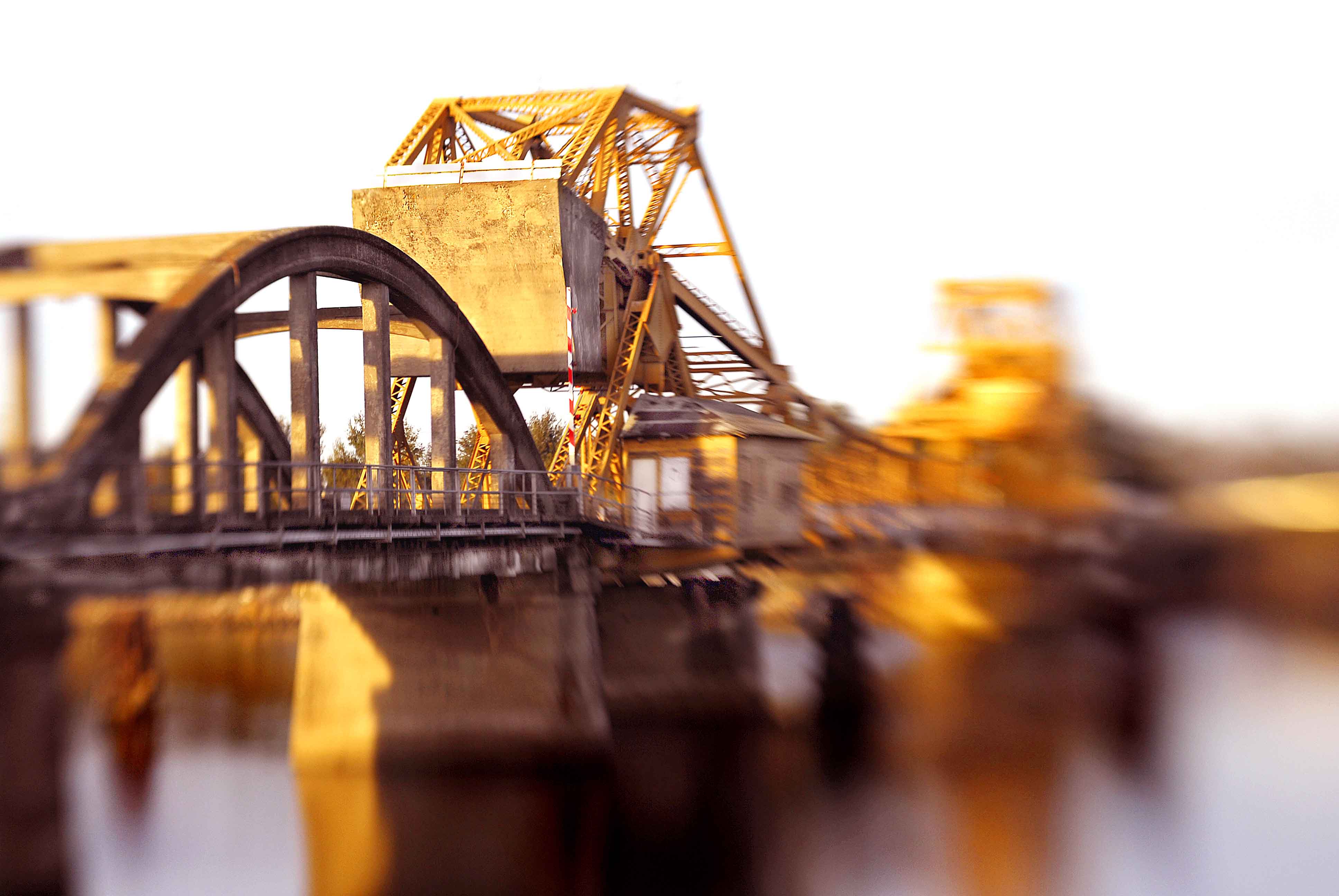
the bridge unclear

Sunkissed Vineyards

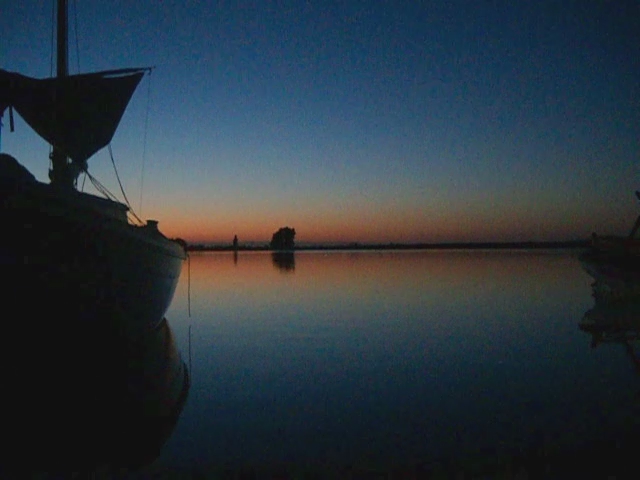
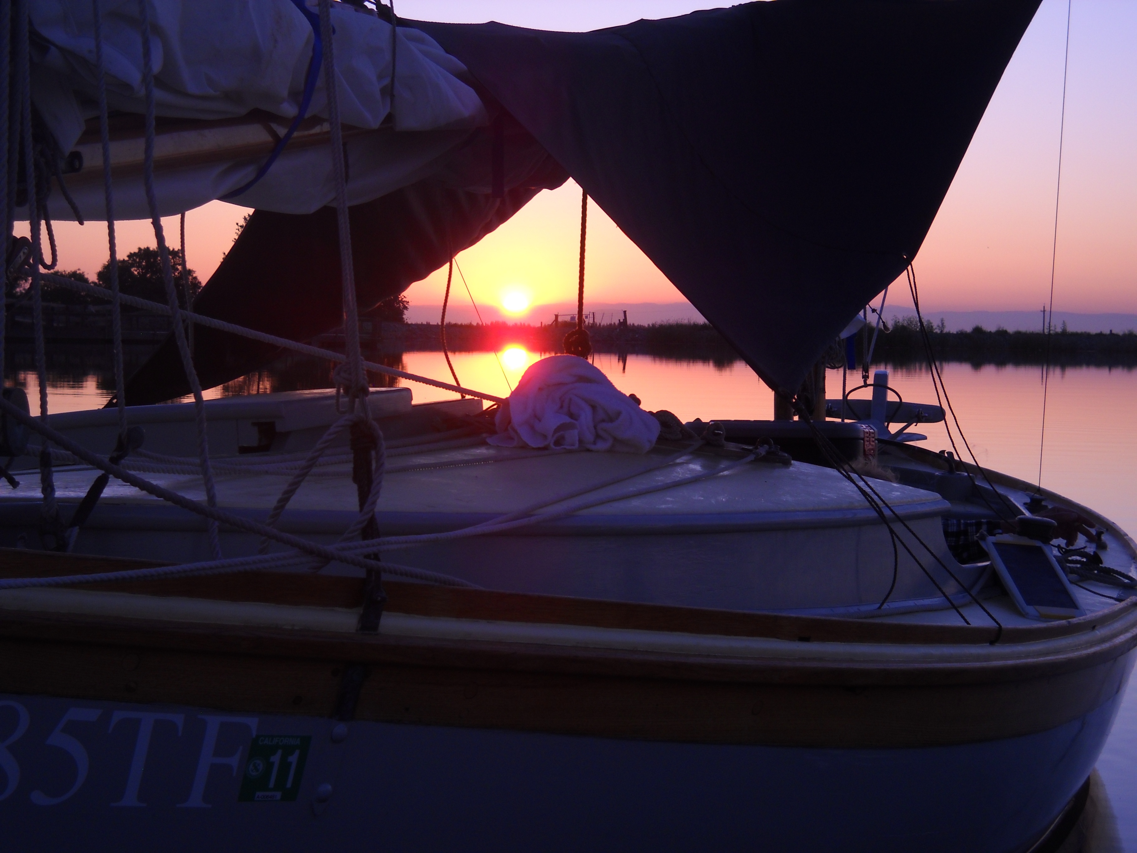
Delta Sunrise
Delta Sunrise

Delta Sunrise

Delta Sunrise

here comes the sun

Sunrise on the Mokolumne river

Delta Sunrise

Sunrise on the Mokolumne river
Delta Sunrise

Sunrise Farm

Delta Sunrise
Delta Sunrise

i stand alone
Winter Sunrise
Delta Sunrise
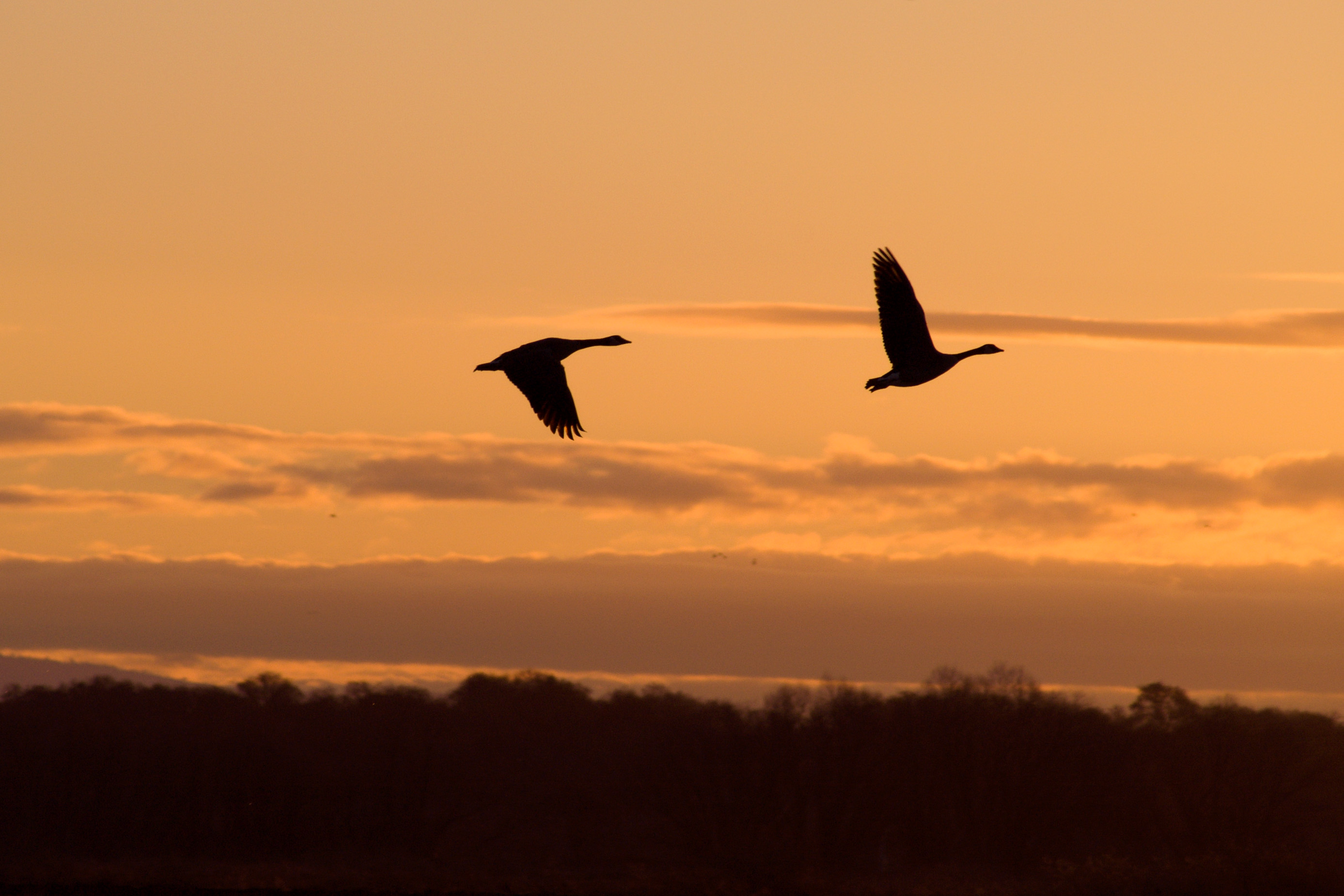
Geese at sunrise
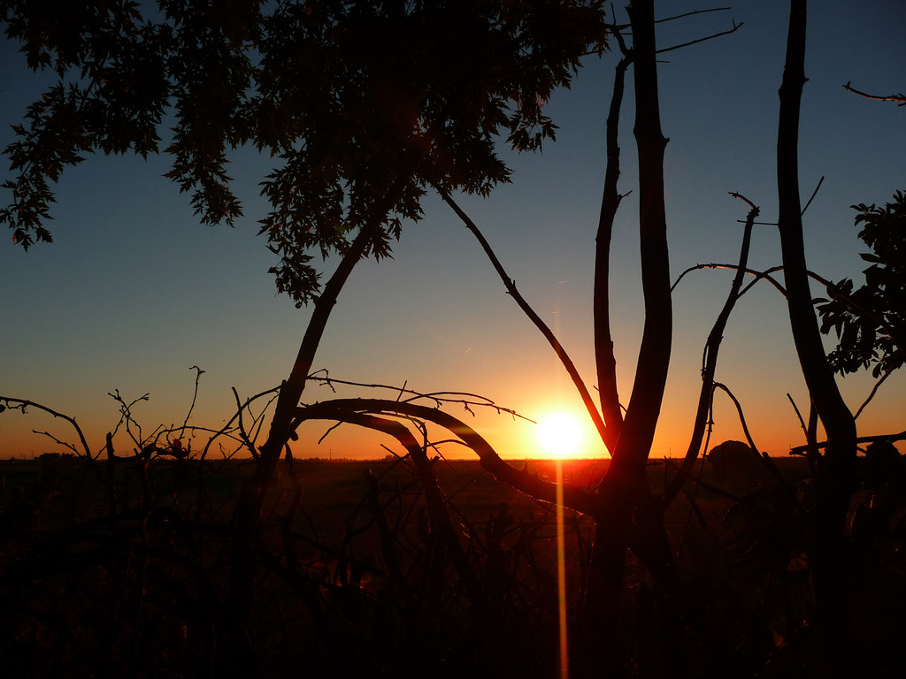
PAD: 9th September 2012
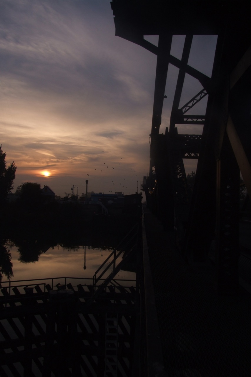
Sunrise across the levee
Thornton Rd, Thornton, CA アメリカ合衆国の地図
別の場所を検索
近所の場所
アメリカ合衆国 カリフォルニア州 ソーントン
W Samoha Ct, Thornton, CA アメリカ合衆国
New Hope Rd, Galt, CA アメリカ合衆国New Hope Road
W Walnut Grove Rd, Walnut Grove, CA アメリカ合衆国
W Walnut Grove Rd, Walnut Grove, CA アメリカ合衆国
アメリカ合衆国 カリフォルニア州 ウォルナット・グローブ
2nd Ave, Walnut Grove, CA アメリカ合衆国
アメリカ合衆国 〒 カリフォルニア州 クランペット
W Turner Rd, Lodi, CA アメリカ合衆国
Justa Short Ln, Galt, CA アメリカ合衆国
Sargent Ave, Galt, CA アメリカ合衆国
Orr Rd, Galt, CA アメリカ合衆国
A St, Galt, CA アメリカ合衆国
アメリカ合衆国 カリフォルニア州 ゴルト
C St #, Galt, CA アメリカ合衆国Little Caesars Pizza
Vorden Rd, Walnut Grove, CA アメリカ合衆国
Twin Cities Rd, Galt, CA アメリカ合衆国
アメリカ合衆国 〒 カリフォルニア州 ゴルト エメラルド・ビレッジ
Village Dr, Galt, CA アメリカ合衆国ビレッジ・ドライブ
Vintage Oak Ave, Galt, CA アメリカ合衆国
最近の検索
- アメリカ合衆国 アラスカ州 レッド・ドッグ・マイン日の出日の入り時間
- Am bhf, Borken, ドイツアム・バーンホーフ日の出日の入り時間
- 4th St E, Sonoma, CA, USA日の出日の入り時間
- Oakland Ave, Williamsport, PA アメリカ合衆国日の出日の入り時間
- Via Roma, Pieranica CR, イタリアローマ通り日の出日の入り時間
- クロアチア 〒 ドゥブロブニク GradClock Tower of Dubrovnik日の出日の入り時間
- アルゼンチン チュブ州 トレリュー日の出日の入り時間
- Hartfords Bluff Cir, Mt Pleasant, SC アメリカ合衆国日の出日の入り時間
- 日本、熊本県熊本市北区日の出日の入り時間
- 中華人民共和国 福州市 平潭県 平潭島日の出日の入り時間