日本, 〒- 栃木県佐野市高砂町2858日の出日の入り時間
Location: 日本 > 栃木県 > 佐野市 >
時間帯:
Asia/Tokyo
現地時間:
2025-06-26 15:17:45
経度:
139.5811241
緯度:
36.3136659
今日の日の出時刻:
04:25:46 AM
今日の日の入時刻:
07:03:23 PM
今日の日長:
14h 37m 37s
明日の日の出時刻:
04:26:07 AM
明日の日の入時刻:
07:03:26 PM
明日の日長:
14h 37m 19s
すべて表示する
| 日付 | 日出 | 日没 | 日長 |
|---|---|---|---|
| 2025年01月01日 | 06:53:01 AM | 04:37:26 PM | 9h 44m 25s |
| 2025年01月02日 | 06:53:10 AM | 04:38:14 PM | 9h 45m 4s |
| 2025年01月03日 | 06:53:17 AM | 04:39:02 PM | 9h 45m 45s |
| 2025年01月04日 | 06:53:22 AM | 04:39:51 PM | 9h 46m 29s |
| 2025年01月05日 | 06:53:26 AM | 04:40:42 PM | 9h 47m 16s |
| 2025年01月06日 | 06:53:27 AM | 04:41:34 PM | 9h 48m 7s |
| 2025年01月07日 | 06:53:26 AM | 04:42:27 PM | 9h 49m 1s |
| 2025年01月08日 | 06:53:23 AM | 04:43:20 PM | 9h 49m 57s |
| 2025年01月09日 | 06:53:18 AM | 04:44:15 PM | 9h 50m 57s |
| 2025年01月10日 | 06:53:12 AM | 04:45:11 PM | 9h 51m 59s |
| 2025年01月11日 | 06:53:03 AM | 04:46:07 PM | 9h 53m 4s |
| 2025年01月12日 | 06:52:52 AM | 04:47:04 PM | 9h 54m 12s |
| 2025年01月13日 | 06:52:39 AM | 04:48:02 PM | 9h 55m 23s |
| 2025年01月14日 | 06:52:25 AM | 04:49:01 PM | 9h 56m 36s |
| 2025年01月15日 | 06:52:08 AM | 04:50:00 PM | 9h 57m 52s |
| 2025年01月16日 | 06:51:49 AM | 04:51:00 PM | 9h 59m 11s |
| 2025年01月17日 | 06:51:29 AM | 04:52:01 PM | 10h 0m 32s |
| 2025年01月18日 | 06:51:06 AM | 04:53:02 PM | 10h 1m 56s |
| 2025年01月19日 | 06:50:42 AM | 04:54:03 PM | 10h 3m 21s |
| 2025年01月20日 | 06:50:16 AM | 04:55:05 PM | 10h 4m 49s |
| 2025年01月21日 | 06:49:48 AM | 04:56:07 PM | 10h 6m 19s |
| 2025年01月22日 | 06:49:18 AM | 04:57:10 PM | 10h 7m 52s |
| 2025年01月23日 | 06:48:46 AM | 04:58:13 PM | 10h 9m 27s |
| 2025年01月24日 | 06:48:12 AM | 04:59:16 PM | 10h 11m 4s |
| 2025年01月25日 | 06:47:37 AM | 05:00:19 PM | 10h 12m 42s |
| 2025年01月26日 | 06:47:00 AM | 05:01:23 PM | 10h 14m 23s |
| 2025年01月27日 | 06:46:21 AM | 05:02:26 PM | 10h 16m 5s |
| 2025年01月28日 | 06:45:40 AM | 05:03:30 PM | 10h 17m 50s |
| 2025年01月29日 | 06:44:58 AM | 05:04:34 PM | 10h 19m 36s |
| 2025年01月30日 | 06:44:14 AM | 05:05:38 PM | 10h 21m 24s |
| 2025年01月31日 | 06:43:28 AM | 05:06:42 PM | 10h 23m 14s |
| 2025年02月01日 | 06:42:41 AM | 05:07:46 PM | 10h 25m 5s |
| 2025年02月02日 | 06:41:52 AM | 05:08:49 PM | 10h 26m 57s |
| 2025年02月03日 | 06:41:02 AM | 05:09:53 PM | 10h 28m 51s |
| 2025年02月04日 | 06:40:10 AM | 05:10:57 PM | 10h 30m 47s |
| 2025年02月05日 | 06:39:16 AM | 05:12:00 PM | 10h 32m 44s |
| 2025年02月06日 | 06:38:22 AM | 05:13:03 PM | 10h 34m 41s |
| 2025年02月07日 | 06:37:25 AM | 05:14:07 PM | 10h 36m 42s |
| 2025年02月08日 | 06:36:28 AM | 05:15:10 PM | 10h 38m 42s |
| 2025年02月09日 | 06:35:29 AM | 05:16:12 PM | 10h 40m 43s |
| 2025年02月10日 | 06:34:28 AM | 05:17:15 PM | 10h 42m 47s |
| 2025年02月11日 | 06:33:27 AM | 05:18:17 PM | 10h 44m 50s |
| 2025年02月12日 | 06:32:24 AM | 05:19:19 PM | 10h 46m 55s |
| 2025年02月13日 | 06:31:19 AM | 05:20:21 PM | 10h 49m 2s |
| 2025年02月14日 | 06:30:14 AM | 05:21:22 PM | 10h 51m 8s |
| 2025年02月15日 | 06:29:08 AM | 05:22:24 PM | 10h 53m 16s |
| 2025年02月16日 | 06:28:00 AM | 05:23:24 PM | 10h 55m 24s |
| 2025年02月17日 | 06:26:51 AM | 05:24:25 PM | 10h 57m 34s |
| 2025年02月18日 | 06:25:41 AM | 05:25:25 PM | 10h 59m 44s |
| 2025年02月19日 | 06:24:30 AM | 05:26:25 PM | 11h 1m 55s |
| 2025年02月20日 | 06:23:18 AM | 05:27:25 PM | 11h 4m 7s |
| 2025年02月21日 | 06:22:05 AM | 05:28:24 PM | 11h 6m 19s |
| 2025年02月22日 | 06:20:51 AM | 05:29:23 PM | 11h 8m 32s |
| 2025年02月23日 | 06:19:37 AM | 05:30:22 PM | 11h 10m 45s |
| 2025年02月24日 | 06:18:21 AM | 05:31:20 PM | 11h 12m 59s |
| 2025年02月25日 | 06:17:05 AM | 05:32:18 PM | 11h 15m 13s |
| 2025年02月26日 | 06:15:47 AM | 05:33:16 PM | 11h 17m 29s |
| 2025年02月27日 | 06:14:29 AM | 05:34:13 PM | 11h 19m 44s |
| 2025年02月28日 | 06:13:10 AM | 05:35:10 PM | 11h 22m 0s |
| 2025年03月01日 | 06:11:51 AM | 05:36:07 PM | 11h 24m 16s |
| 2025年03月02日 | 06:10:30 AM | 05:37:03 PM | 11h 26m 33s |
| 2025年03月03日 | 06:09:09 AM | 05:37:59 PM | 11h 28m 50s |
| 2025年03月04日 | 06:07:48 AM | 05:38:55 PM | 11h 31m 7s |
| 2025年03月05日 | 06:06:26 AM | 05:39:51 PM | 11h 33m 25s |
| 2025年03月06日 | 06:05:03 AM | 05:40:46 PM | 11h 35m 43s |
| 2025年03月07日 | 06:03:40 AM | 05:41:41 PM | 11h 38m 1s |
| 2025年03月08日 | 06:02:16 AM | 05:42:35 PM | 11h 40m 19s |
| 2025年03月09日 | 06:00:52 AM | 05:43:30 PM | 11h 42m 38s |
| 2025年03月10日 | 05:59:27 AM | 05:44:24 PM | 11h 44m 57s |
| 2025年03月11日 | 05:58:02 AM | 05:45:17 PM | 11h 47m 15s |
| 2025年03月12日 | 05:56:37 AM | 05:46:11 PM | 11h 49m 34s |
| 2025年03月13日 | 05:55:11 AM | 05:47:04 PM | 11h 51m 53s |
| 2025年03月14日 | 05:53:45 AM | 05:47:58 PM | 11h 54m 13s |
| 2025年03月15日 | 05:52:18 AM | 05:48:51 PM | 11h 56m 33s |
| 2025年03月16日 | 05:50:52 AM | 05:49:43 PM | 11h 58m 51s |
| 2025年03月17日 | 05:49:25 AM | 05:50:36 PM | 12h 1m 11s |
| 2025年03月18日 | 05:47:58 AM | 05:51:28 PM | 12h 3m 30s |
| 2025年03月19日 | 05:46:30 AM | 05:52:20 PM | 12h 5m 50s |
| 2025年03月20日 | 05:45:03 AM | 05:53:12 PM | 12h 8m 9s |
| 2025年03月21日 | 05:43:36 AM | 05:54:04 PM | 12h 10m 28s |
| 2025年03月22日 | 05:42:08 AM | 05:54:56 PM | 12h 12m 48s |
| 2025年03月23日 | 05:40:40 AM | 05:55:48 PM | 12h 15m 8s |
| 2025年03月24日 | 05:39:13 AM | 05:56:39 PM | 12h 17m 26s |
| 2025年03月25日 | 05:37:45 AM | 05:57:31 PM | 12h 19m 46s |
| 2025年03月26日 | 05:36:18 AM | 05:58:22 PM | 12h 22m 4s |
| 2025年03月27日 | 05:34:50 AM | 05:59:13 PM | 12h 24m 23s |
| 2025年03月28日 | 05:33:23 AM | 06:00:05 PM | 12h 26m 42s |
| 2025年03月29日 | 05:31:56 AM | 06:00:56 PM | 12h 29m 0s |
| 2025年03月30日 | 05:30:28 AM | 06:01:47 PM | 12h 31m 19s |
| 2025年03月31日 | 05:29:02 AM | 06:02:38 PM | 12h 33m 36s |
| 2025年04月01日 | 05:27:35 AM | 06:03:29 PM | 12h 35m 54s |
| 2025年04月02日 | 05:26:08 AM | 06:04:20 PM | 12h 38m 12s |
| 2025年04月03日 | 05:24:42 AM | 06:05:11 PM | 12h 40m 29s |
| 2025年04月04日 | 05:23:16 AM | 06:06:02 PM | 12h 42m 46s |
| 2025年04月05日 | 05:21:51 AM | 06:06:53 PM | 12h 45m 2s |
| 2025年04月06日 | 05:20:26 AM | 06:07:44 PM | 12h 47m 18s |
| 2025年04月07日 | 05:19:01 AM | 06:08:35 PM | 12h 49m 34s |
| 2025年04月08日 | 05:17:37 AM | 06:09:26 PM | 12h 51m 49s |
| 2025年04月09日 | 05:16:13 AM | 06:10:17 PM | 12h 54m 4s |
| 2025年04月10日 | 05:14:49 AM | 06:11:08 PM | 12h 56m 19s |
| 2025年04月11日 | 05:13:26 AM | 06:11:59 PM | 12h 58m 33s |
| 2025年04月12日 | 05:12:04 AM | 06:12:50 PM | 13h 0m 46s |
| 2025年04月13日 | 05:10:42 AM | 06:13:42 PM | 13h 3m 0s |
| 2025年04月14日 | 05:09:21 AM | 06:14:33 PM | 13h 5m 12s |
| 2025年04月15日 | 05:08:01 AM | 06:15:24 PM | 13h 7m 23s |
| 2025年04月16日 | 05:06:41 AM | 06:16:16 PM | 13h 9m 35s |
| 2025年04月17日 | 05:05:22 AM | 06:17:07 PM | 13h 11m 45s |
| 2025年04月18日 | 05:04:03 AM | 06:17:58 PM | 13h 13m 55s |
| 2025年04月19日 | 05:02:45 AM | 06:18:50 PM | 13h 16m 5s |
| 2025年04月20日 | 05:01:28 AM | 06:19:42 PM | 13h 18m 14s |
| 2025年04月21日 | 05:00:12 AM | 06:20:33 PM | 13h 20m 21s |
| 2025年04月22日 | 04:58:57 AM | 06:21:25 PM | 13h 22m 28s |
| 2025年04月23日 | 04:57:43 AM | 06:22:17 PM | 13h 24m 34s |
| 2025年04月24日 | 04:56:29 AM | 06:23:08 PM | 13h 26m 39s |
| 2025年04月25日 | 04:55:16 AM | 06:24:00 PM | 13h 28m 44s |
| 2025年04月26日 | 04:54:05 AM | 06:24:52 PM | 13h 30m 47s |
| 2025年04月27日 | 04:52:54 AM | 06:25:44 PM | 13h 32m 50s |
| 2025年04月28日 | 04:51:44 AM | 06:26:36 PM | 13h 34m 52s |
| 2025年04月29日 | 04:50:36 AM | 06:27:28 PM | 13h 36m 52s |
| 2025年04月30日 | 04:49:28 AM | 06:28:19 PM | 13h 38m 51s |
| 2025年05月01日 | 04:48:22 AM | 06:29:11 PM | 13h 40m 49s |
| 2025年05月02日 | 04:47:16 AM | 06:30:03 PM | 13h 42m 47s |
| 2025年05月03日 | 04:46:12 AM | 06:30:54 PM | 13h 44m 42s |
| 2025年05月04日 | 04:45:09 AM | 06:31:46 PM | 13h 46m 37s |
| 2025年05月05日 | 04:44:07 AM | 06:32:37 PM | 13h 48m 30s |
| 2025年05月06日 | 04:43:07 AM | 06:33:29 PM | 13h 50m 22s |
| 2025年05月07日 | 04:42:07 AM | 06:34:20 PM | 13h 52m 13s |
| 2025年05月08日 | 04:41:09 AM | 06:35:11 PM | 13h 54m 2s |
| 2025年05月09日 | 04:40:13 AM | 06:36:02 PM | 13h 55m 49s |
| 2025年05月10日 | 04:39:17 AM | 06:36:53 PM | 13h 57m 36s |
| 2025年05月11日 | 04:38:23 AM | 06:37:43 PM | 13h 59m 20s |
| 2025年05月12日 | 04:37:31 AM | 06:38:34 PM | 14h 1m 3s |
| 2025年05月13日 | 04:36:39 AM | 06:39:24 PM | 14h 2m 45s |
| 2025年05月14日 | 04:35:50 AM | 06:40:13 PM | 14h 4m 23s |
| 2025年05月15日 | 04:35:01 AM | 06:41:03 PM | 14h 6m 2s |
| 2025年05月16日 | 04:34:14 AM | 06:41:52 PM | 14h 7m 38s |
| 2025年05月17日 | 04:33:29 AM | 06:42:40 PM | 14h 9m 11s |
| 2025年05月18日 | 04:32:45 AM | 06:43:29 PM | 14h 10m 44s |
| 2025年05月19日 | 04:32:03 AM | 06:44:16 PM | 14h 12m 13s |
| 2025年05月20日 | 04:31:22 AM | 06:45:04 PM | 14h 13m 42s |
| 2025年05月21日 | 04:30:43 AM | 06:45:51 PM | 14h 15m 8s |
| 2025年05月22日 | 04:30:05 AM | 06:46:37 PM | 14h 16m 32s |
| 2025年05月23日 | 04:29:29 AM | 06:47:23 PM | 14h 17m 54s |
| 2025年05月24日 | 04:28:55 AM | 06:48:08 PM | 14h 19m 13s |
| 2025年05月25日 | 04:28:22 AM | 06:48:52 PM | 14h 20m 30s |
| 2025年05月26日 | 04:27:51 AM | 06:49:36 PM | 14h 21m 45s |
| 2025年05月27日 | 04:27:22 AM | 06:50:19 PM | 14h 22m 57s |
| 2025年05月28日 | 04:26:54 AM | 06:51:02 PM | 14h 24m 8s |
| 2025年05月29日 | 04:26:28 AM | 06:51:43 PM | 14h 25m 15s |
| 2025年05月30日 | 04:26:04 AM | 06:52:24 PM | 14h 26m 20s |
| 2025年05月31日 | 04:25:42 AM | 06:53:04 PM | 14h 27m 22s |
| 2025年06月01日 | 04:25:21 AM | 06:53:43 PM | 14h 28m 22s |
| 2025年06月02日 | 04:25:01 AM | 06:54:21 PM | 14h 29m 20s |
| 2025年06月03日 | 04:24:44 AM | 06:54:58 PM | 14h 30m 14s |
| 2025年06月04日 | 04:24:28 AM | 06:55:34 PM | 14h 31m 6s |
| 2025年06月05日 | 04:24:14 AM | 06:56:09 PM | 14h 31m 55s |
| 2025年06月06日 | 04:24:02 AM | 06:56:43 PM | 14h 32m 41s |
| 2025年06月07日 | 04:23:52 AM | 06:57:16 PM | 14h 33m 24s |
| 2025年06月08日 | 04:23:43 AM | 06:57:47 PM | 14h 34m 4s |
| 2025年06月09日 | 04:23:36 AM | 06:58:18 PM | 14h 34m 42s |
| 2025年06月10日 | 04:23:30 AM | 06:58:47 PM | 14h 35m 17s |
| 2025年06月11日 | 04:23:27 AM | 06:59:15 PM | 14h 35m 48s |
| 2025年06月12日 | 04:23:25 AM | 06:59:42 PM | 14h 36m 17s |
| 2025年06月13日 | 04:23:24 AM | 07:00:07 PM | 14h 36m 43s |
| 2025年06月14日 | 04:23:26 AM | 07:00:31 PM | 14h 37m 5s |
| 2025年06月15日 | 04:23:29 AM | 07:00:54 PM | 14h 37m 25s |
| 2025年06月16日 | 04:23:33 AM | 07:01:15 PM | 14h 37m 42s |
| 2025年06月17日 | 04:23:39 AM | 07:01:35 PM | 14h 37m 56s |
| 2025年06月18日 | 04:23:47 AM | 07:01:53 PM | 14h 38m 6s |
| 2025年06月19日 | 04:23:57 AM | 07:02:10 PM | 14h 38m 13s |
| 2025年06月20日 | 04:24:08 AM | 07:02:25 PM | 14h 38m 17s |
| 2025年06月21日 | 04:24:20 AM | 07:02:39 PM | 14h 38m 19s |
| 2025年06月22日 | 04:24:34 AM | 07:02:51 PM | 14h 38m 17s |
| 2025年06月23日 | 04:24:50 AM | 07:03:01 PM | 14h 38m 11s |
| 2025年06月24日 | 04:25:07 AM | 07:03:10 PM | 14h 38m 3s |
| 2025年06月25日 | 04:25:25 AM | 07:03:17 PM | 14h 37m 52s |
| 2025年06月26日 | 04:25:45 AM | 07:03:23 PM | 14h 37m 38s |
| 2025年06月27日 | 04:26:06 AM | 07:03:26 PM | 14h 37m 20s |
| 2025年06月28日 | 04:26:29 AM | 07:03:28 PM | 14h 36m 59s |
| 2025年06月29日 | 04:26:52 AM | 07:03:29 PM | 14h 36m 37s |
| 2025年06月30日 | 04:27:18 AM | 07:03:28 PM | 14h 36m 10s |
| 2025年07月01日 | 04:27:44 AM | 07:03:25 PM | 14h 35m 41s |
| 2025年07月02日 | 04:28:12 AM | 07:03:20 PM | 14h 35m 8s |
| 2025年07月03日 | 04:28:40 AM | 07:03:13 PM | 14h 34m 33s |
| 2025年07月04日 | 04:29:10 AM | 07:03:05 PM | 14h 33m 55s |
| 2025年07月05日 | 04:29:41 AM | 07:02:55 PM | 14h 33m 14s |
| 2025年07月06日 | 04:30:13 AM | 07:02:43 PM | 14h 32m 30s |
| 2025年07月07日 | 04:30:46 AM | 07:02:30 PM | 14h 31m 44s |
| 2025年07月08日 | 04:31:21 AM | 07:02:14 PM | 14h 30m 53s |
| 2025年07月09日 | 04:31:56 AM | 07:01:57 PM | 14h 30m 1s |
| 2025年07月10日 | 04:32:32 AM | 07:01:38 PM | 14h 29m 6s |
| 2025年07月11日 | 04:33:09 AM | 07:01:18 PM | 14h 28m 9s |
| 2025年07月12日 | 04:33:46 AM | 07:00:55 PM | 14h 27m 9s |
| 2025年07月13日 | 04:34:25 AM | 07:00:31 PM | 14h 26m 6s |
| 2025年07月14日 | 04:35:04 AM | 07:00:05 PM | 14h 25m 1s |
| 2025年07月15日 | 04:35:44 AM | 06:59:38 PM | 14h 23m 54s |
| 2025年07月16日 | 04:36:25 AM | 06:59:08 PM | 14h 22m 43s |
| 2025年07月17日 | 04:37:07 AM | 06:58:37 PM | 14h 21m 30s |
| 2025年07月18日 | 04:37:49 AM | 06:58:05 PM | 14h 20m 16s |
| 2025年07月19日 | 04:38:31 AM | 06:57:30 PM | 14h 18m 59s |
| 2025年07月20日 | 04:39:14 AM | 06:56:54 PM | 14h 17m 40s |
| 2025年07月21日 | 04:39:58 AM | 06:56:16 PM | 14h 16m 18s |
| 2025年07月22日 | 04:40:42 AM | 06:55:37 PM | 14h 14m 55s |
| 2025年07月23日 | 04:41:27 AM | 06:54:56 PM | 14h 13m 29s |
| 2025年07月24日 | 04:42:12 AM | 06:54:14 PM | 14h 12m 2s |
| 2025年07月25日 | 04:42:58 AM | 06:53:30 PM | 14h 10m 32s |
| 2025年07月26日 | 04:43:44 AM | 06:52:44 PM | 14h 9m 0s |
| 2025年07月27日 | 04:44:30 AM | 06:51:57 PM | 14h 7m 27s |
| 2025年07月28日 | 04:45:16 AM | 06:51:08 PM | 14h 5m 52s |
| 2025年07月29日 | 04:46:03 AM | 06:50:18 PM | 14h 4m 15s |
| 2025年07月30日 | 04:46:50 AM | 06:49:26 PM | 14h 2m 36s |
| 2025年07月31日 | 04:47:38 AM | 06:48:33 PM | 14h 0m 55s |
| 2025年08月01日 | 04:48:25 AM | 06:47:38 PM | 13h 59m 13s |
| 2025年08月02日 | 04:49:13 AM | 06:46:42 PM | 13h 57m 29s |
| 2025年08月03日 | 04:50:01 AM | 06:45:45 PM | 13h 55m 44s |
| 2025年08月04日 | 04:50:49 AM | 06:44:47 PM | 13h 53m 58s |
| 2025年08月05日 | 04:51:37 AM | 06:43:47 PM | 13h 52m 10s |
| 2025年08月06日 | 04:52:25 AM | 06:42:45 PM | 13h 50m 20s |
| 2025年08月07日 | 04:53:13 AM | 06:41:43 PM | 13h 48m 30s |
| 2025年08月08日 | 04:54:01 AM | 06:40:39 PM | 13h 46m 38s |
| 2025年08月09日 | 04:54:50 AM | 06:39:34 PM | 13h 44m 44s |
| 2025年08月10日 | 04:55:38 AM | 06:38:28 PM | 13h 42m 50s |
| 2025年08月11日 | 04:56:26 AM | 06:37:21 PM | 13h 40m 55s |
| 2025年08月12日 | 04:57:15 AM | 06:36:12 PM | 13h 38m 57s |
| 2025年08月13日 | 04:58:03 AM | 06:35:03 PM | 13h 37m 0s |
| 2025年08月14日 | 04:58:51 AM | 06:33:52 PM | 13h 35m 1s |
| 2025年08月15日 | 04:59:40 AM | 06:32:41 PM | 13h 33m 1s |
| 2025年08月16日 | 05:00:28 AM | 06:31:28 PM | 13h 31m 0s |
| 2025年08月17日 | 05:01:16 AM | 06:30:14 PM | 13h 28m 58s |
| 2025年08月18日 | 05:02:04 AM | 06:29:00 PM | 13h 26m 56s |
| 2025年08月19日 | 05:02:52 AM | 06:27:44 PM | 13h 24m 52s |
| 2025年08月20日 | 05:03:40 AM | 06:26:28 PM | 13h 22m 48s |
| 2025年08月21日 | 05:04:28 AM | 06:25:11 PM | 13h 20m 43s |
| 2025年08月22日 | 05:05:16 AM | 06:23:52 PM | 13h 18m 36s |
| 2025年08月23日 | 05:06:04 AM | 06:22:33 PM | 13h 16m 29s |
| 2025年08月24日 | 05:06:52 AM | 06:21:14 PM | 13h 14m 22s |
| 2025年08月25日 | 05:07:39 AM | 06:19:53 PM | 13h 12m 14s |
| 2025年08月26日 | 05:08:27 AM | 06:18:32 PM | 13h 10m 5s |
| 2025年08月27日 | 05:09:14 AM | 06:17:10 PM | 13h 7m 56s |
| 2025年08月28日 | 05:10:01 AM | 06:15:48 PM | 13h 5m 47s |
| 2025年08月29日 | 05:10:49 AM | 06:14:24 PM | 13h 3m 35s |
| 2025年08月30日 | 05:11:36 AM | 06:13:01 PM | 13h 1m 25s |
| 2025年08月31日 | 05:12:23 AM | 06:11:36 PM | 12h 59m 13s |
| 2025年09月01日 | 05:13:10 AM | 06:10:11 PM | 12h 57m 1s |
| 2025年09月02日 | 05:13:57 AM | 06:08:46 PM | 12h 54m 49s |
| 2025年09月03日 | 05:14:44 AM | 06:07:20 PM | 12h 52m 36s |
| 2025年09月04日 | 05:15:31 AM | 06:05:54 PM | 12h 50m 23s |
| 2025年09月05日 | 05:16:17 AM | 06:04:27 PM | 12h 48m 10s |
| 2025年09月06日 | 05:17:04 AM | 06:03:00 PM | 12h 45m 56s |
| 2025年09月07日 | 05:17:51 AM | 06:01:32 PM | 12h 43m 41s |
| 2025年09月08日 | 05:18:38 AM | 06:00:04 PM | 12h 41m 26s |
| 2025年09月09日 | 05:19:24 AM | 05:58:36 PM | 12h 39m 12s |
| 2025年09月10日 | 05:20:11 AM | 05:57:07 PM | 12h 36m 56s |
| 2025年09月11日 | 05:20:58 AM | 05:55:38 PM | 12h 34m 40s |
| 2025年09月12日 | 05:21:44 AM | 05:54:09 PM | 12h 32m 25s |
| 2025年09月13日 | 05:22:31 AM | 05:52:40 PM | 12h 30m 9s |
| 2025年09月14日 | 05:23:18 AM | 05:51:10 PM | 12h 27m 52s |
| 2025年09月15日 | 05:24:05 AM | 05:49:41 PM | 12h 25m 36s |
| 2025年09月16日 | 05:24:51 AM | 05:48:11 PM | 12h 23m 20s |
| 2025年09月17日 | 05:25:38 AM | 05:46:41 PM | 12h 21m 3s |
| 2025年09月18日 | 05:26:25 AM | 05:45:11 PM | 12h 18m 46s |
| 2025年09月19日 | 05:27:12 AM | 05:43:42 PM | 12h 16m 30s |
| 2025年09月20日 | 05:27:59 AM | 05:42:12 PM | 12h 14m 13s |
| 2025年09月21日 | 05:28:47 AM | 05:40:42 PM | 12h 11m 55s |
| 2025年09月22日 | 05:29:34 AM | 05:39:12 PM | 12h 9m 38s |
| 2025年09月23日 | 05:30:22 AM | 05:37:42 PM | 12h 7m 20s |
| 2025年09月24日 | 05:31:09 AM | 05:36:13 PM | 12h 5m 4s |
| 2025年09月25日 | 05:31:57 AM | 05:34:43 PM | 12h 2m 46s |
| 2025年09月26日 | 05:32:45 AM | 05:33:14 PM | 12h 0m 29s |
| 2025年09月27日 | 05:33:33 AM | 05:31:45 PM | 11h 58m 12s |
| 2025年09月28日 | 05:34:22 AM | 05:30:16 PM | 11h 55m 54s |
| 2025年09月29日 | 05:35:10 AM | 05:28:47 PM | 11h 53m 37s |
| 2025年09月30日 | 05:35:59 AM | 05:27:19 PM | 11h 51m 20s |
| 2025年10月01日 | 05:36:48 AM | 05:25:51 PM | 11h 49m 3s |
| 2025年10月02日 | 05:37:37 AM | 05:24:23 PM | 11h 46m 46s |
| 2025年10月03日 | 05:38:27 AM | 05:22:56 PM | 11h 44m 29s |
| 2025年10月04日 | 05:39:17 AM | 05:21:29 PM | 11h 42m 12s |
| 2025年10月05日 | 05:40:07 AM | 05:20:03 PM | 11h 39m 56s |
| 2025年10月06日 | 05:40:57 AM | 05:18:37 PM | 11h 37m 40s |
| 2025年10月07日 | 05:41:48 AM | 05:17:11 PM | 11h 35m 23s |
| 2025年10月08日 | 05:42:39 AM | 05:15:46 PM | 11h 33m 7s |
| 2025年10月09日 | 05:43:30 AM | 05:14:22 PM | 11h 30m 52s |
| 2025年10月10日 | 05:44:21 AM | 05:12:58 PM | 11h 28m 37s |
| 2025年10月11日 | 05:45:13 AM | 05:11:35 PM | 11h 26m 22s |
| 2025年10月12日 | 05:46:05 AM | 05:10:13 PM | 11h 24m 8s |
| 2025年10月13日 | 05:46:58 AM | 05:08:51 PM | 11h 21m 53s |
| 2025年10月14日 | 05:47:51 AM | 05:07:30 PM | 11h 19m 39s |
| 2025年10月15日 | 05:48:44 AM | 05:06:09 PM | 11h 17m 25s |
| 2025年10月16日 | 05:49:37 AM | 05:04:50 PM | 11h 15m 13s |
| 2025年10月17日 | 05:50:31 AM | 05:03:31 PM | 11h 13m 0s |
| 2025年10月18日 | 05:51:25 AM | 05:02:13 PM | 11h 10m 48s |
| 2025年10月19日 | 05:52:20 AM | 05:00:56 PM | 11h 8m 36s |
| 2025年10月20日 | 05:53:15 AM | 04:59:40 PM | 11h 6m 25s |
| 2025年10月21日 | 05:54:10 AM | 04:58:25 PM | 11h 4m 15s |
| 2025年10月22日 | 05:55:06 AM | 04:57:11 PM | 11h 2m 5s |
| 2025年10月23日 | 05:56:02 AM | 04:55:57 PM | 10h 59m 55s |
| 2025年10月24日 | 05:56:58 AM | 04:54:45 PM | 10h 57m 47s |
| 2025年10月25日 | 05:57:55 AM | 04:53:34 PM | 10h 55m 39s |
| 2025年10月26日 | 05:58:52 AM | 04:52:24 PM | 10h 53m 32s |
| 2025年10月27日 | 05:59:49 AM | 04:51:15 PM | 10h 51m 26s |
| 2025年10月28日 | 06:00:47 AM | 04:50:08 PM | 10h 49m 21s |
| 2025年10月29日 | 06:01:45 AM | 04:49:01 PM | 10h 47m 16s |
| 2025年10月30日 | 06:02:43 AM | 04:47:56 PM | 10h 45m 13s |
| 2025年10月31日 | 06:03:42 AM | 04:46:52 PM | 10h 43m 10s |
| 2025年11月01日 | 06:04:41 AM | 04:45:49 PM | 10h 41m 8s |
| 2025年11月02日 | 06:05:40 AM | 04:44:48 PM | 10h 39m 8s |
| 2025年11月03日 | 06:06:39 AM | 04:43:48 PM | 10h 37m 9s |
| 2025年11月04日 | 06:07:39 AM | 04:42:49 PM | 10h 35m 10s |
| 2025年11月05日 | 06:08:39 AM | 04:41:52 PM | 10h 33m 13s |
| 2025年11月06日 | 06:09:39 AM | 04:40:56 PM | 10h 31m 17s |
| 2025年11月07日 | 06:10:39 AM | 04:40:02 PM | 10h 29m 23s |
| 2025年11月08日 | 06:11:40 AM | 04:39:09 PM | 10h 27m 29s |
| 2025年11月09日 | 06:12:40 AM | 04:38:18 PM | 10h 25m 38s |
| 2025年11月10日 | 06:13:41 AM | 04:37:28 PM | 10h 23m 47s |
| 2025年11月11日 | 06:14:42 AM | 04:36:40 PM | 10h 21m 58s |
| 2025年11月12日 | 06:15:43 AM | 04:35:54 PM | 10h 20m 11s |
| 2025年11月13日 | 06:16:44 AM | 04:35:09 PM | 10h 18m 25s |
| 2025年11月14日 | 06:17:45 AM | 04:34:26 PM | 10h 16m 41s |
| 2025年11月15日 | 06:18:46 AM | 04:33:44 PM | 10h 14m 58s |
| 2025年11月16日 | 06:19:47 AM | 04:33:05 PM | 10h 13m 18s |
| 2025年11月17日 | 06:20:47 AM | 04:32:27 PM | 10h 11m 40s |
| 2025年11月18日 | 06:21:48 AM | 04:31:51 PM | 10h 10m 3s |
| 2025年11月19日 | 06:22:48 AM | 04:31:17 PM | 10h 8m 29s |
| 2025年11月20日 | 06:23:49 AM | 04:30:44 PM | 10h 6m 55s |
| 2025年11月21日 | 06:24:49 AM | 04:30:14 PM | 10h 5m 25s |
| 2025年11月22日 | 06:25:48 AM | 04:29:45 PM | 10h 3m 57s |
| 2025年11月23日 | 06:26:48 AM | 04:29:19 PM | 10h 2m 31s |
| 2025年11月24日 | 06:27:47 AM | 04:28:54 PM | 10h 1m 7s |
| 2025年11月25日 | 06:28:46 AM | 04:28:31 PM | 9h 59m 45s |
| 2025年11月26日 | 06:29:44 AM | 04:28:10 PM | 9h 58m 26s |
| 2025年11月27日 | 06:30:41 AM | 04:27:51 PM | 9h 57m 10s |
| 2025年11月28日 | 06:31:39 AM | 04:27:34 PM | 9h 55m 55s |
| 2025年11月29日 | 06:32:35 AM | 04:27:19 PM | 9h 54m 44s |
| 2025年11月30日 | 06:33:31 AM | 04:27:06 PM | 9h 53m 35s |
| 2025年12月01日 | 06:34:26 AM | 04:26:55 PM | 9h 52m 29s |
| 2025年12月02日 | 06:35:21 AM | 04:26:46 PM | 9h 51m 25s |
| 2025年12月03日 | 06:36:14 AM | 04:26:40 PM | 9h 50m 26s |
| 2025年12月04日 | 06:37:07 AM | 04:26:35 PM | 9h 49m 28s |
| 2025年12月05日 | 06:37:59 AM | 04:26:32 PM | 9h 48m 33s |
| 2025年12月06日 | 06:38:50 AM | 04:26:31 PM | 9h 47m 41s |
| 2025年12月07日 | 06:39:40 AM | 04:26:32 PM | 9h 46m 52s |
| 2025年12月08日 | 06:40:29 AM | 04:26:36 PM | 9h 46m 7s |
| 2025年12月09日 | 06:41:17 AM | 04:26:41 PM | 9h 45m 24s |
| 2025年12月10日 | 06:42:04 AM | 04:26:48 PM | 9h 44m 44s |
| 2025年12月11日 | 06:42:50 AM | 04:26:57 PM | 9h 44m 7s |
| 2025年12月12日 | 06:43:34 AM | 04:27:09 PM | 9h 43m 35s |
| 2025年12月13日 | 06:44:17 AM | 04:27:22 PM | 9h 43m 5s |
| 2025年12月14日 | 06:44:59 AM | 04:27:37 PM | 9h 42m 38s |
| 2025年12月15日 | 06:45:39 AM | 04:27:54 PM | 9h 42m 15s |
| 2025年12月16日 | 06:46:18 AM | 04:28:13 PM | 9h 41m 55s |
| 2025年12月17日 | 06:46:56 AM | 04:28:34 PM | 9h 41m 38s |
| 2025年12月18日 | 06:47:32 AM | 04:28:57 PM | 9h 41m 25s |
| 2025年12月19日 | 06:48:06 AM | 04:29:22 PM | 9h 41m 16s |
| 2025年12月20日 | 06:48:39 AM | 04:29:48 PM | 9h 41m 9s |
| 2025年12月21日 | 06:49:10 AM | 04:30:17 PM | 9h 41m 7s |
| 2025年12月22日 | 06:49:40 AM | 04:30:47 PM | 9h 41m 7s |
| 2025年12月23日 | 06:50:08 AM | 04:31:18 PM | 9h 41m 10s |
| 2025年12月24日 | 06:50:34 AM | 04:31:52 PM | 9h 41m 18s |
| 2025年12月25日 | 06:50:59 AM | 04:32:27 PM | 9h 41m 28s |
| 2025年12月26日 | 06:51:21 AM | 04:33:04 PM | 9h 41m 43s |
| 2025年12月27日 | 06:51:42 AM | 04:33:42 PM | 9h 42m 0s |
| 2025年12月28日 | 06:52:01 AM | 04:34:22 PM | 9h 42m 21s |
| 2025年12月29日 | 06:52:18 AM | 04:35:03 PM | 9h 42m 45s |
| 2025年12月30日 | 06:52:34 AM | 04:35:46 PM | 9h 43m 12s |
| 2025年12月31日 | 06:52:47 AM | 04:36:30 PM | 9h 43m 43s |
写真

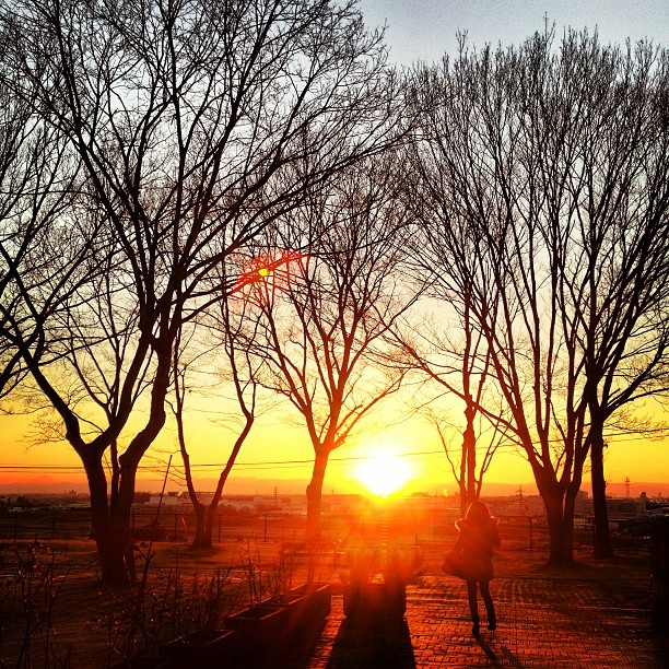
Hanami sunset

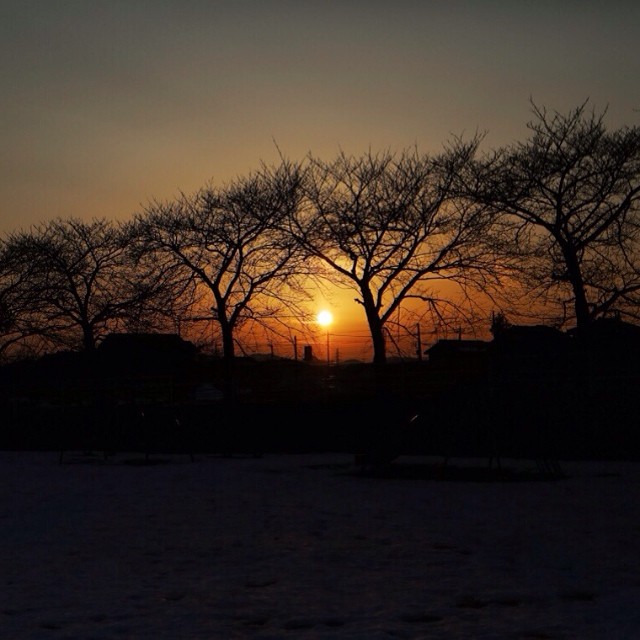
watarase sunset
my primal scene1
primal scene2

栃木大平山ツーリング

Dusk Star
primal scene3
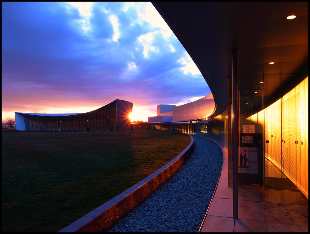
Museum 16:45

morning at watarase

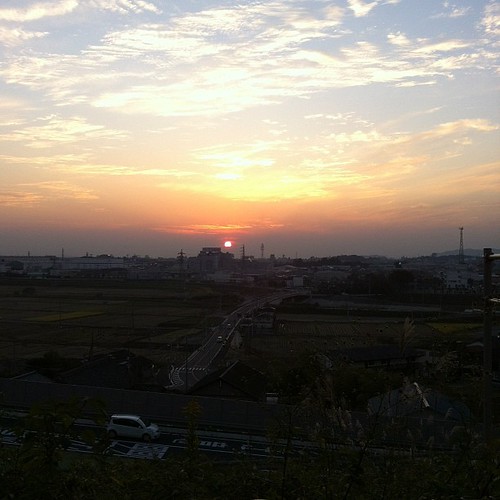
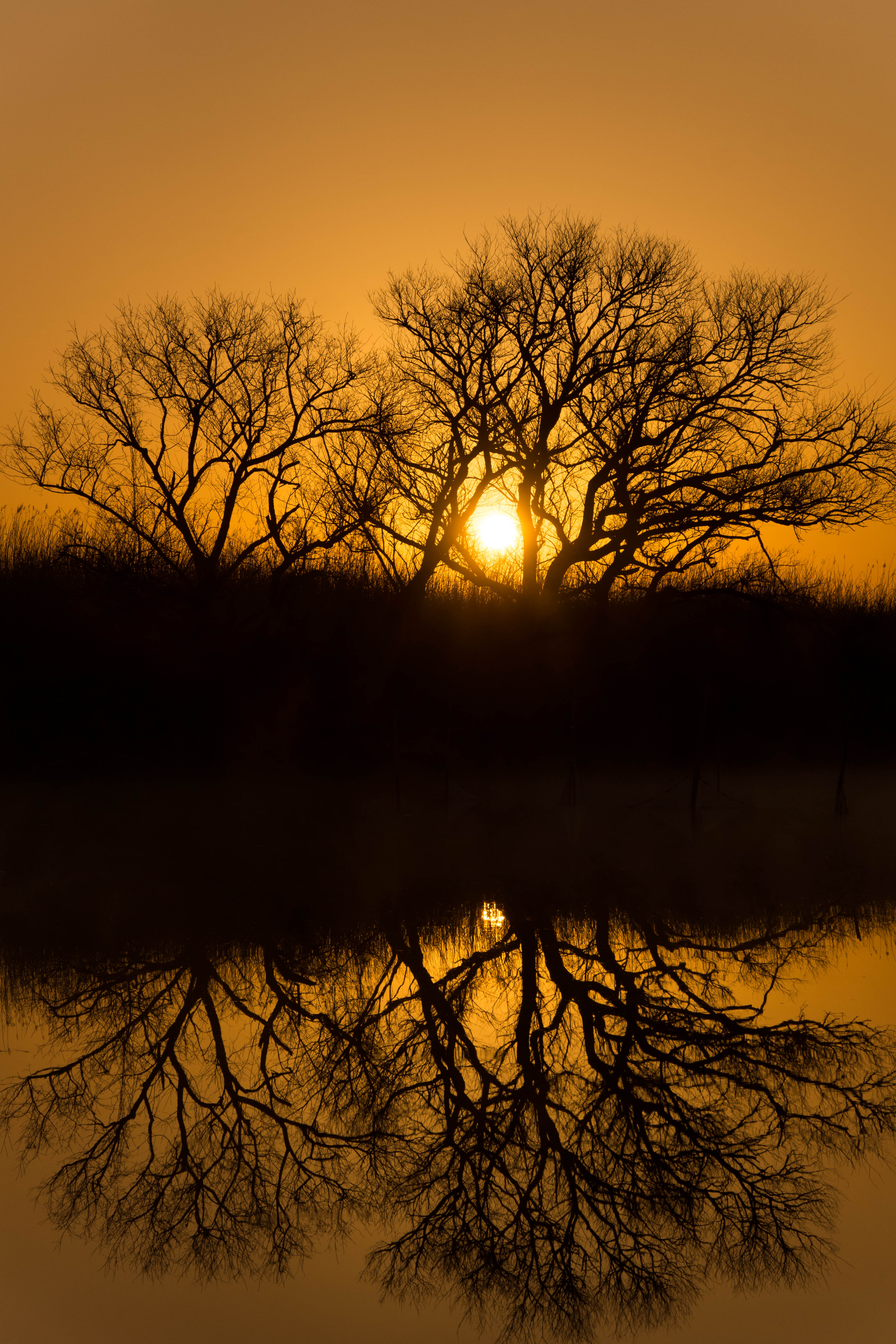
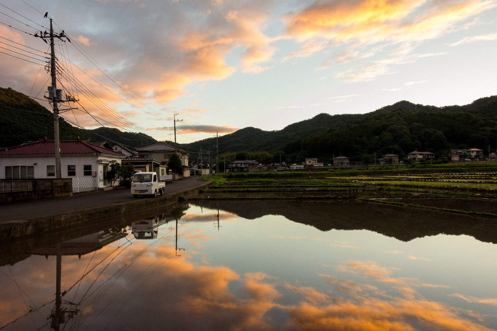
麦 Barley Sunrise
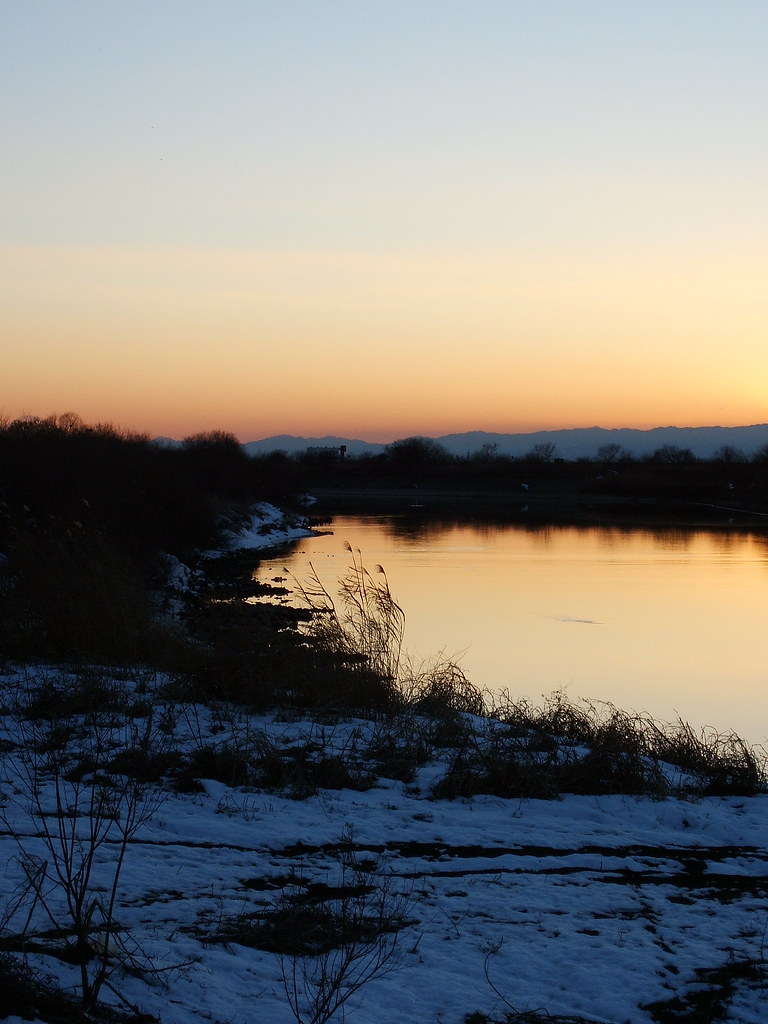
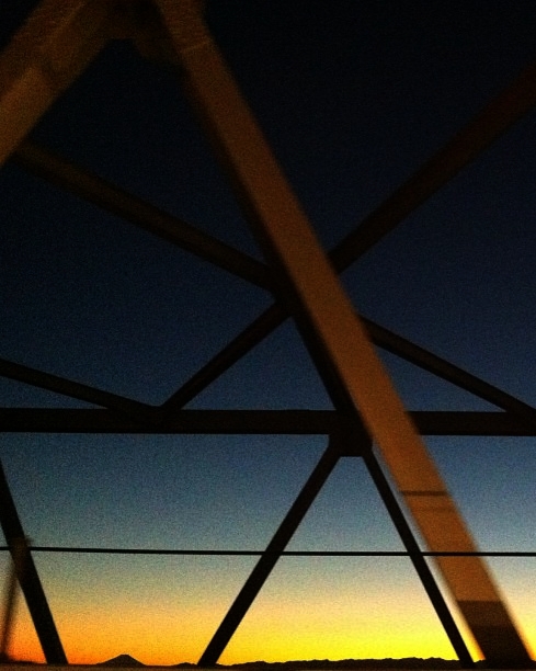
初日の入り。
今日の夕陽はほんとキレイでした…(^^)
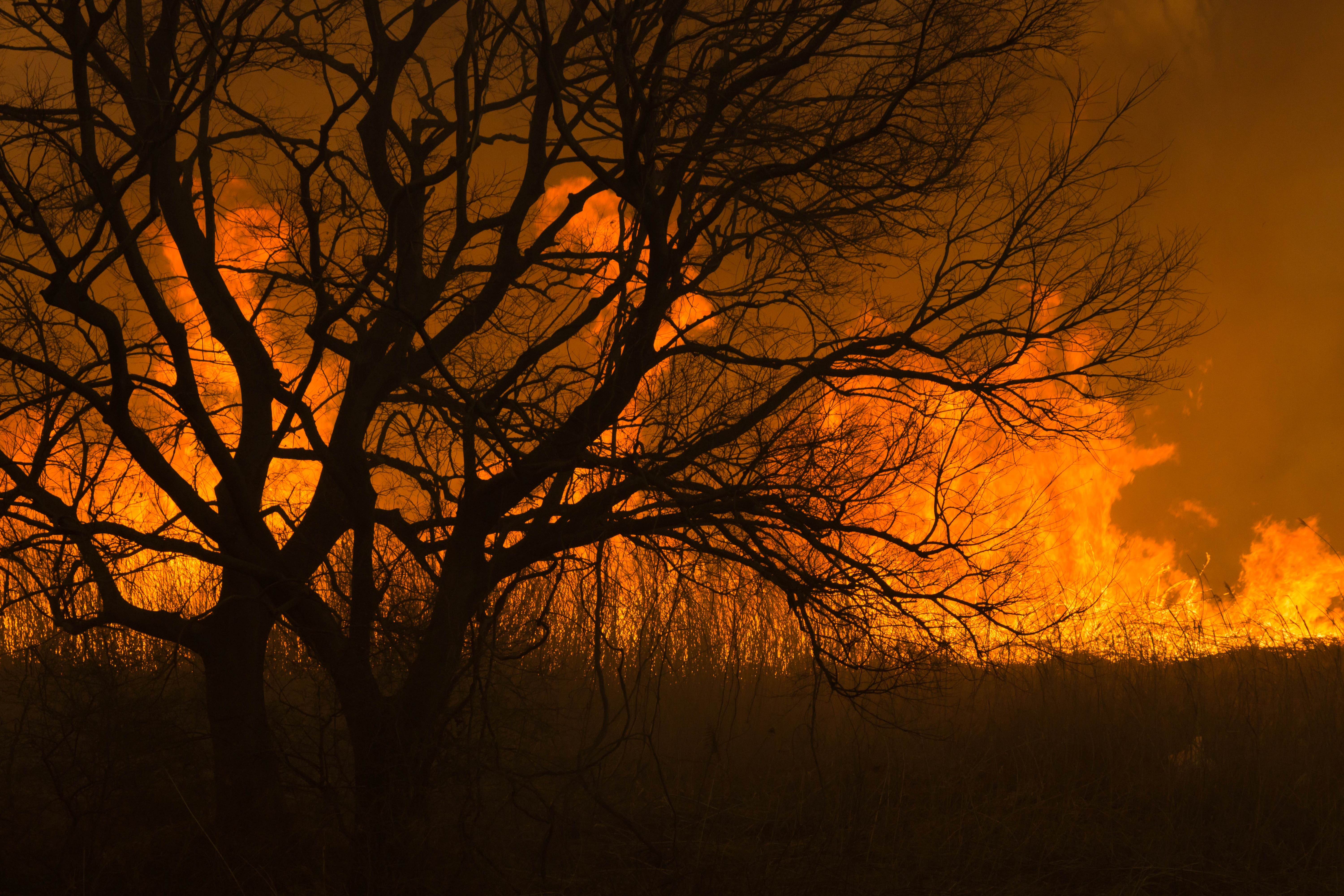
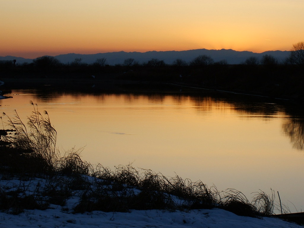
Reed burning in the Watarase anti-flood pond
夕陽~
Today's sunset
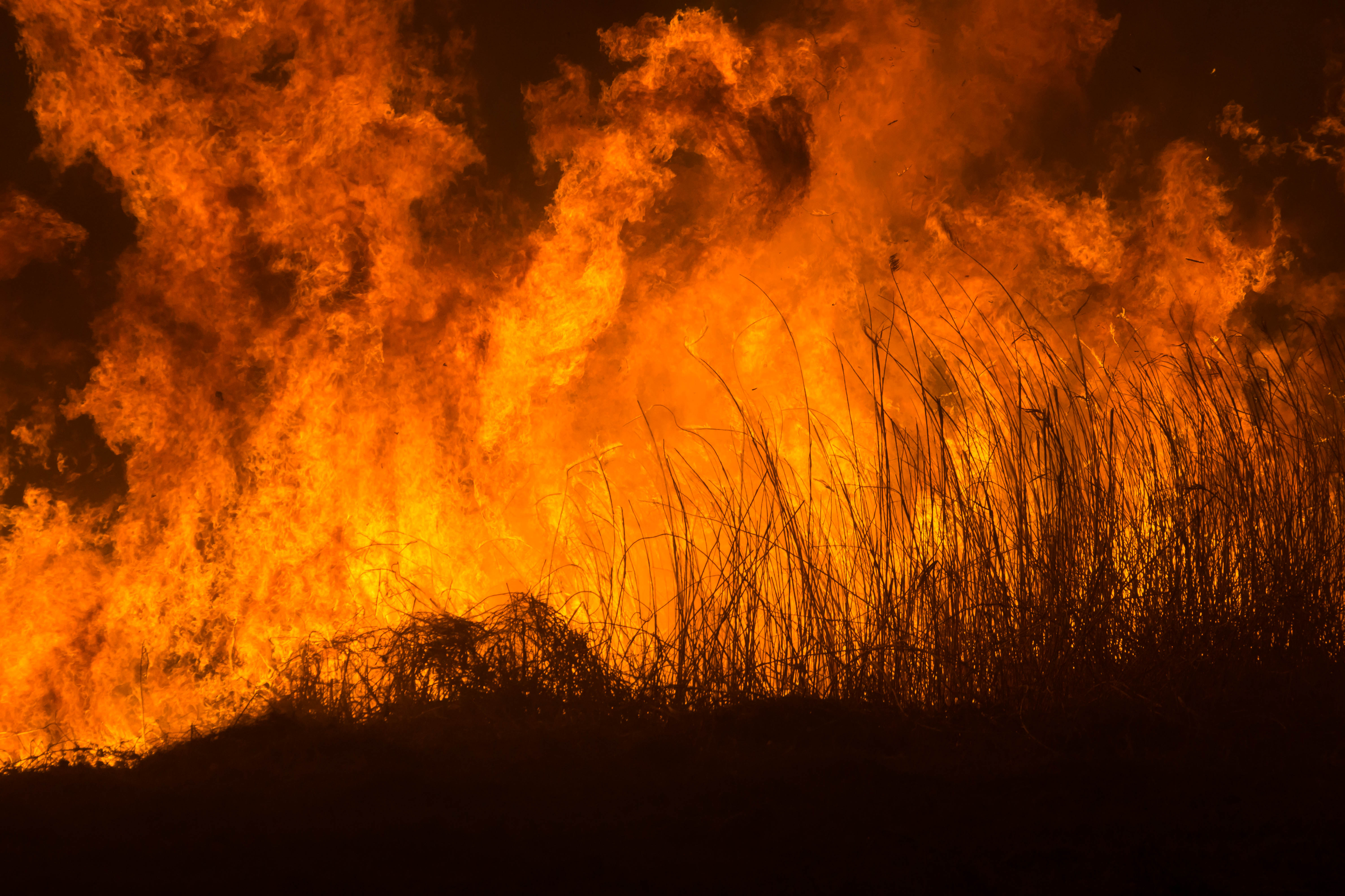
Reed burning in the Watarase anti-flood pond
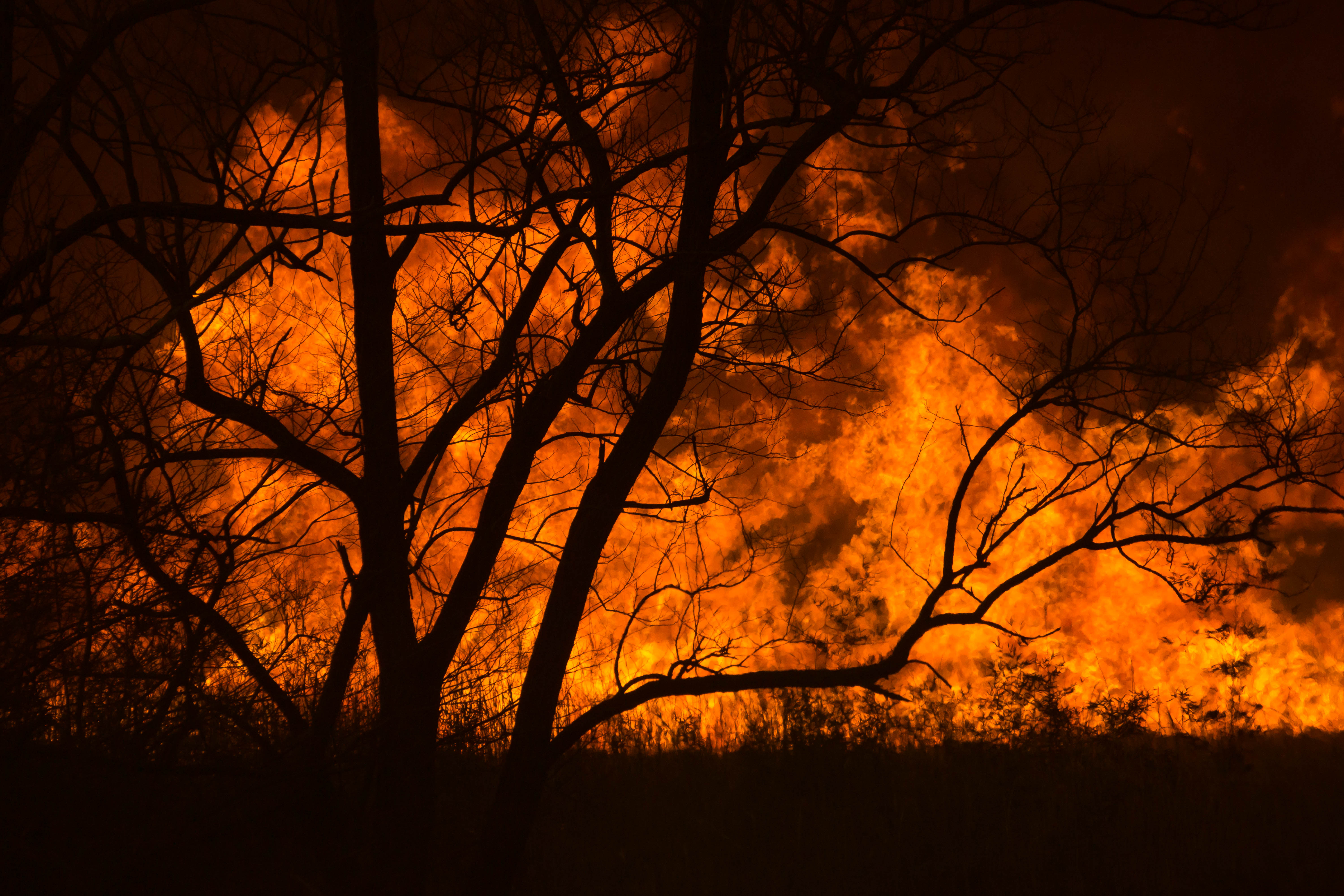
Reed burning in the Watarase anti-flood pond

Reed burning in the Watarase anti-flood pond
DSC06800.jpg
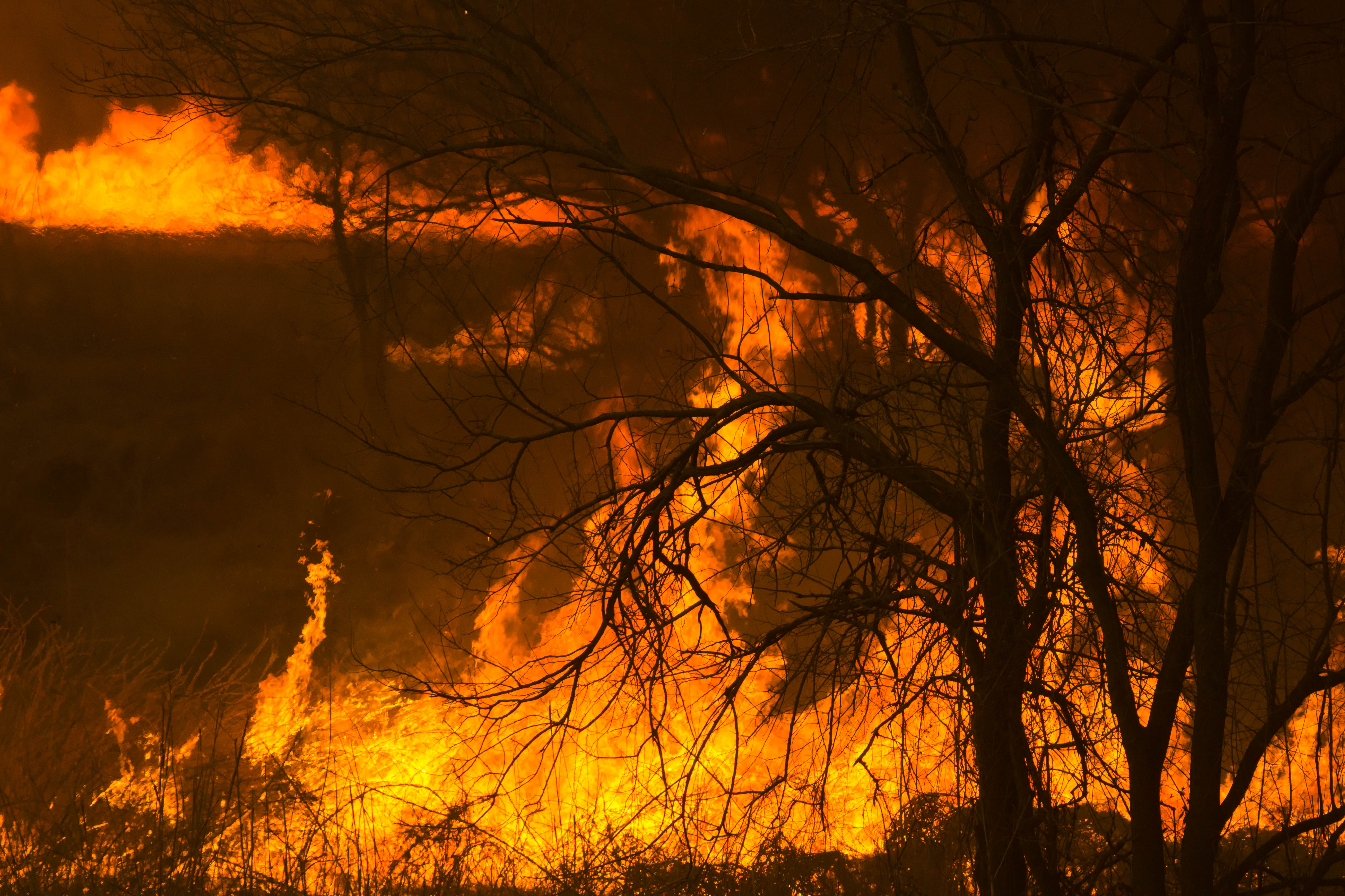
Reed burning in the Watarase anti-flood pond

Reed burning in the Watarase anti-flood pond

麦 Barley Sunrise
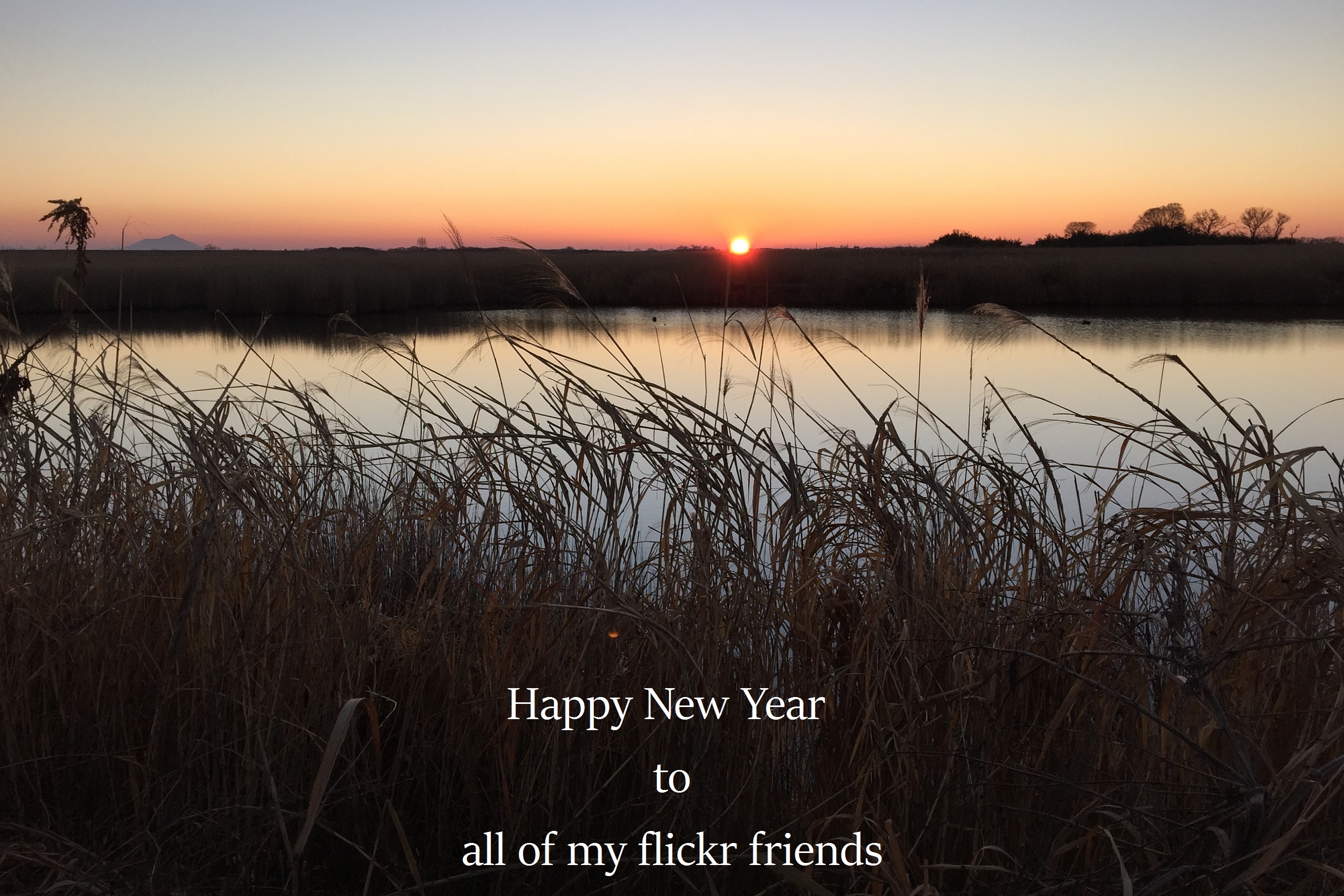
The first sunrise of the year 2016

麦 Barley Sunrise

麦 Barley Sunrise
backyard Sunrise

sunrise through reeds

麦 Barley Sunrise

麦 Barley Sunrise

麦 Barley Sunrise

麦 Barley Sunrise

麦 Barley Sunrise
日本, 〒- 栃木県佐野市高砂町2858の地図
別の場所を検索
近所の場所
日本, 栃木県佐野市
日本, 群馬県邑楽郡板倉町
日本, 〒- 群馬県邑楽郡板倉町大蔵10−3
日本、栃木県栃木市藤岡町帯刀
日本、〒- 栃木県栃木市藤岡町内野
日本、〒- 栃木県栃木市藤岡町内野 藤岡町藤岡渡良瀬遊水地
日本, 〒- 栃木県栃木市岩出町616
日本、〒- 栃木県栃木市城内町2丁目28−65
日本, 栃木県栃木市
日本、〒- 栃木県小山市乙女
日本, 栃木県下都賀郡野木町
日本, 〒- 栃木県下都賀郡野木町丸林640−18
日本、〒- 栃木県小山市間々田2510−23
日本、〒- 栃木県小山市小山
日本, 〒- 栃木県小山市宮本町1丁目3−1
日本, 栃木県小山市
日本、〒- 栃木県小山市城山町1丁目7
日本、〒- 栃木県小山市稲葉郷1341−4
日本、〒- 栃木県小山市東城南1丁目22−9
日本、〒- 栃木県小山市東城南2丁目14−12
最近の検索
- アメリカ合衆国 アラスカ州 レッド・ドッグ・マイン日の出日の入り時間
- Am bhf, Borken, ドイツアム・バーンホーフ日の出日の入り時間
- 4th St E, Sonoma, CA, USA日の出日の入り時間
- Oakland Ave, Williamsport, PA アメリカ合衆国日の出日の入り時間
- Via Roma, Pieranica CR, イタリアローマ通り日の出日の入り時間
- クロアチア 〒 ドゥブロブニク GradClock Tower of Dubrovnik日の出日の入り時間
- アルゼンチン チュブ州 トレリュー日の出日の入り時間
- Hartfords Bluff Cir, Mt Pleasant, SC アメリカ合衆国日の出日の入り時間
- 日本、熊本県熊本市北区日の出日の入り時間
- 中華人民共和国 福州市 平潭県 平潭島日の出日の入り時間