Sunrey Rd, Placerville, CA アメリカ合衆国日の出日の入り時間
Location: アメリカ合衆国 > カリフォルニア州 > エルドラド > アメリカ合衆国 〒 カリフォルニア州 プラサービル >
時間帯:
America/Los_Angeles
現地時間:
2025-07-11 12:30:57
経度:
-120.673123
緯度:
38.674265
今日の日の出時刻:
05:48:46 AM
今日の日の入時刻:
08:28:09 PM
今日の日長:
14h 39m 23s
明日の日の出時刻:
05:49:29 AM
明日の日の入時刻:
08:27:40 PM
明日の日長:
14h 38m 11s
すべて表示する
| 日付 | 日出 | 日没 | 日長 |
|---|---|---|---|
| 2025年01月01日 | 07:20:43 AM | 04:53:07 PM | 9h 32m 24s |
| 2025年01月02日 | 07:20:47 AM | 04:53:57 PM | 9h 33m 10s |
| 2025年01月03日 | 07:20:49 AM | 04:54:50 PM | 9h 34m 1s |
| 2025年01月04日 | 07:20:49 AM | 04:55:43 PM | 9h 34m 54s |
| 2025年01月05日 | 07:20:47 AM | 04:56:38 PM | 9h 35m 51s |
| 2025年01月06日 | 07:20:43 AM | 04:57:34 PM | 9h 36m 51s |
| 2025年01月07日 | 07:20:36 AM | 04:58:31 PM | 9h 37m 55s |
| 2025年01月08日 | 07:20:28 AM | 04:59:29 PM | 9h 39m 1s |
| 2025年01月09日 | 07:20:17 AM | 05:00:28 PM | 9h 40m 11s |
| 2025年01月10日 | 07:20:04 AM | 05:01:28 PM | 9h 41m 24s |
| 2025年01月11日 | 07:19:49 AM | 05:02:29 PM | 9h 42m 40s |
| 2025年01月12日 | 07:19:32 AM | 05:03:31 PM | 9h 43m 59s |
| 2025年01月13日 | 07:19:13 AM | 05:04:34 PM | 9h 45m 21s |
| 2025年01月14日 | 07:18:51 AM | 05:05:37 PM | 9h 46m 46s |
| 2025年01月15日 | 07:18:28 AM | 05:06:41 PM | 9h 48m 13s |
| 2025年01月16日 | 07:18:03 AM | 05:07:46 PM | 9h 49m 43s |
| 2025年01月17日 | 07:17:35 AM | 05:08:51 PM | 9h 51m 16s |
| 2025年01月18日 | 07:17:06 AM | 05:09:57 PM | 9h 52m 51s |
| 2025年01月19日 | 07:16:35 AM | 05:11:03 PM | 9h 54m 28s |
| 2025年01月20日 | 07:16:01 AM | 05:12:10 PM | 9h 56m 9s |
| 2025年01月21日 | 07:15:26 AM | 05:13:17 PM | 9h 57m 51s |
| 2025年01月22日 | 07:14:49 AM | 05:14:25 PM | 9h 59m 36s |
| 2025年01月23日 | 07:14:10 AM | 05:15:33 PM | 10h 1m 23s |
| 2025年01月24日 | 07:13:29 AM | 05:16:41 PM | 10h 3m 12s |
| 2025年01月25日 | 07:12:46 AM | 05:17:50 PM | 10h 5m 4s |
| 2025年01月26日 | 07:12:01 AM | 05:18:58 PM | 10h 6m 57s |
| 2025年01月27日 | 07:11:15 AM | 05:20:07 PM | 10h 8m 52s |
| 2025年01月28日 | 07:10:27 AM | 05:21:16 PM | 10h 10m 49s |
| 2025年01月29日 | 07:09:37 AM | 05:22:25 PM | 10h 12m 48s |
| 2025年01月30日 | 07:08:45 AM | 05:23:34 PM | 10h 14m 49s |
| 2025年01月31日 | 07:07:52 AM | 05:24:43 PM | 10h 16m 51s |
| 2025年02月01日 | 07:06:57 AM | 05:25:52 PM | 10h 18m 55s |
| 2025年02月02日 | 07:06:01 AM | 05:27:01 PM | 10h 21m 0s |
| 2025年02月03日 | 07:05:03 AM | 05:28:10 PM | 10h 23m 7s |
| 2025年02月04日 | 07:04:04 AM | 05:29:19 PM | 10h 25m 15s |
| 2025年02月05日 | 07:03:03 AM | 05:30:28 PM | 10h 27m 25s |
| 2025年02月06日 | 07:02:00 AM | 05:31:36 PM | 10h 29m 36s |
| 2025年02月07日 | 07:00:56 AM | 05:32:45 PM | 10h 31m 49s |
| 2025年02月08日 | 06:59:51 AM | 05:33:53 PM | 10h 34m 2s |
| 2025年02月09日 | 06:58:44 AM | 05:35:01 PM | 10h 36m 17s |
| 2025年02月10日 | 06:57:36 AM | 05:36:09 PM | 10h 38m 33s |
| 2025年02月11日 | 06:56:27 AM | 05:37:17 PM | 10h 40m 50s |
| 2025年02月12日 | 06:55:16 AM | 05:38:24 PM | 10h 43m 8s |
| 2025年02月13日 | 06:54:05 AM | 05:39:32 PM | 10h 45m 27s |
| 2025年02月14日 | 06:52:52 AM | 05:40:39 PM | 10h 47m 47s |
| 2025年02月15日 | 06:51:38 AM | 05:41:45 PM | 10h 50m 7s |
| 2025年02月16日 | 06:50:22 AM | 05:42:52 PM | 10h 52m 30s |
| 2025年02月17日 | 06:49:06 AM | 05:43:58 PM | 10h 54m 52s |
| 2025年02月18日 | 06:47:49 AM | 05:45:04 PM | 10h 57m 15s |
| 2025年02月19日 | 06:46:30 AM | 05:46:09 PM | 10h 59m 39s |
| 2025年02月20日 | 06:45:11 AM | 05:47:14 PM | 11h 2m 3s |
| 2025年02月21日 | 06:43:51 AM | 05:48:19 PM | 11h 4m 28s |
| 2025年02月22日 | 06:42:30 AM | 05:49:24 PM | 11h 6m 54s |
| 2025年02月23日 | 06:41:07 AM | 05:50:28 PM | 11h 9m 21s |
| 2025年02月24日 | 06:39:44 AM | 05:51:32 PM | 11h 11m 48s |
| 2025年02月25日 | 06:38:21 AM | 05:52:35 PM | 11h 14m 14s |
| 2025年02月26日 | 06:36:56 AM | 05:53:39 PM | 11h 16m 43s |
| 2025年02月27日 | 06:35:31 AM | 05:54:42 PM | 11h 19m 11s |
| 2025年02月28日 | 06:34:05 AM | 05:55:45 PM | 11h 21m 40s |
| 2025年03月01日 | 06:32:38 AM | 05:56:47 PM | 11h 24m 9s |
| 2025年03月02日 | 06:31:11 AM | 05:57:49 PM | 11h 26m 38s |
| 2025年03月03日 | 06:29:43 AM | 05:58:51 PM | 11h 29m 8s |
| 2025年03月04日 | 06:28:14 AM | 05:59:52 PM | 11h 31m 38s |
| 2025年03月05日 | 06:26:45 AM | 06:00:54 PM | 11h 34m 9s |
| 2025年03月06日 | 06:25:15 AM | 06:01:55 PM | 11h 36m 40s |
| 2025年03月07日 | 06:23:45 AM | 06:02:55 PM | 11h 39m 10s |
| 2025年03月08日 | 06:22:15 AM | 06:03:56 PM | 11h 41m 41s |
| 2025年03月09日 | 07:20:47 AM | 07:04:53 PM | 11h 44m 6s |
| 2025年03月10日 | 07:19:16 AM | 07:05:53 PM | 11h 46m 37s |
| 2025年03月11日 | 07:17:44 AM | 07:06:53 PM | 11h 49m 9s |
| 2025年03月12日 | 07:16:12 AM | 07:07:52 PM | 11h 51m 40s |
| 2025年03月13日 | 07:14:40 AM | 07:08:52 PM | 11h 54m 12s |
| 2025年03月14日 | 07:13:07 AM | 07:09:51 PM | 11h 56m 44s |
| 2025年03月15日 | 07:11:34 AM | 07:10:50 PM | 11h 59m 16s |
| 2025年03月16日 | 07:10:01 AM | 07:11:48 PM | 12h 1m 47s |
| 2025年03月17日 | 07:08:27 AM | 07:12:47 PM | 12h 4m 20s |
| 2025年03月18日 | 07:06:54 AM | 07:13:45 PM | 12h 6m 51s |
| 2025年03月19日 | 07:05:20 AM | 07:14:43 PM | 12h 9m 23s |
| 2025年03月20日 | 07:03:47 AM | 07:15:42 PM | 12h 11m 55s |
| 2025年03月21日 | 07:02:13 AM | 07:16:39 PM | 12h 14m 26s |
| 2025年03月22日 | 07:00:39 AM | 07:17:37 PM | 12h 16m 58s |
| 2025年03月23日 | 06:59:05 AM | 07:18:35 PM | 12h 19m 30s |
| 2025年03月24日 | 06:57:31 AM | 07:19:33 PM | 12h 22m 2s |
| 2025年03月25日 | 06:55:58 AM | 07:20:30 PM | 12h 24m 32s |
| 2025年03月26日 | 06:54:24 AM | 07:21:27 PM | 12h 27m 3s |
| 2025年03月27日 | 06:52:50 AM | 07:22:25 PM | 12h 29m 35s |
| 2025年03月28日 | 06:51:17 AM | 07:23:22 PM | 12h 32m 5s |
| 2025年03月29日 | 06:49:44 AM | 07:24:19 PM | 12h 34m 35s |
| 2025年03月30日 | 06:48:11 AM | 07:25:17 PM | 12h 37m 6s |
| 2025年03月31日 | 06:46:38 AM | 07:26:14 PM | 12h 39m 36s |
| 2025年04月01日 | 06:45:06 AM | 07:27:11 PM | 12h 42m 5s |
| 2025年04月02日 | 06:43:33 AM | 07:28:08 PM | 12h 44m 35s |
| 2025年04月03日 | 06:42:02 AM | 07:29:05 PM | 12h 47m 3s |
| 2025年04月04日 | 06:40:30 AM | 07:30:02 PM | 12h 49m 32s |
| 2025年04月05日 | 06:38:59 AM | 07:30:59 PM | 12h 52m 0s |
| 2025年04月06日 | 06:37:28 AM | 07:31:56 PM | 12h 54m 28s |
| 2025年04月07日 | 06:35:58 AM | 07:32:54 PM | 12h 56m 56s |
| 2025年04月08日 | 06:34:28 AM | 07:33:51 PM | 12h 59m 23s |
| 2025年04月09日 | 06:32:59 AM | 07:34:48 PM | 13h 1m 49s |
| 2025年04月10日 | 06:31:30 AM | 07:35:45 PM | 13h 4m 15s |
| 2025年04月11日 | 06:30:02 AM | 07:36:42 PM | 13h 6m 40s |
| 2025年04月12日 | 06:28:35 AM | 07:37:40 PM | 13h 9m 5s |
| 2025年04月13日 | 06:27:08 AM | 07:38:37 PM | 13h 11m 29s |
| 2025年04月14日 | 06:25:41 AM | 07:39:34 PM | 13h 13m 53s |
| 2025年04月15日 | 06:24:16 AM | 07:40:32 PM | 13h 16m 16s |
| 2025年04月16日 | 06:22:51 AM | 07:41:29 PM | 13h 18m 38s |
| 2025年04月17日 | 06:21:27 AM | 07:42:27 PM | 13h 21m 0s |
| 2025年04月18日 | 06:20:04 AM | 07:43:24 PM | 13h 23m 20s |
| 2025年04月19日 | 06:18:41 AM | 07:44:21 PM | 13h 25m 40s |
| 2025年04月20日 | 06:17:19 AM | 07:45:19 PM | 13h 28m 0s |
| 2025年04月21日 | 06:15:59 AM | 07:46:17 PM | 13h 30m 18s |
| 2025年04月22日 | 06:14:39 AM | 07:47:14 PM | 13h 32m 35s |
| 2025年04月23日 | 06:13:20 AM | 07:48:12 PM | 13h 34m 52s |
| 2025年04月24日 | 06:12:02 AM | 07:49:09 PM | 13h 37m 7s |
| 2025年04月25日 | 06:10:45 AM | 07:50:07 PM | 13h 39m 22s |
| 2025年04月26日 | 06:09:29 AM | 07:51:04 PM | 13h 41m 35s |
| 2025年04月27日 | 06:08:14 AM | 07:52:02 PM | 13h 43m 48s |
| 2025年04月28日 | 06:07:00 AM | 07:52:59 PM | 13h 45m 59s |
| 2025年04月29日 | 06:05:47 AM | 07:53:56 PM | 13h 48m 9s |
| 2025年04月30日 | 06:04:36 AM | 07:54:54 PM | 13h 50m 18s |
| 2025年05月01日 | 06:03:25 AM | 07:55:51 PM | 13h 52m 26s |
| 2025年05月02日 | 06:02:16 AM | 07:56:48 PM | 13h 54m 32s |
| 2025年05月03日 | 06:01:08 AM | 07:57:45 PM | 13h 56m 37s |
| 2025年05月04日 | 06:00:02 AM | 07:58:41 PM | 13h 58m 39s |
| 2025年05月05日 | 05:58:56 AM | 07:59:38 PM | 14h 0m 42s |
| 2025年05月06日 | 05:57:52 AM | 08:00:34 PM | 14h 2m 42s |
| 2025年05月07日 | 05:56:50 AM | 08:01:31 PM | 14h 4m 41s |
| 2025年05月08日 | 05:55:48 AM | 08:02:27 PM | 14h 6m 39s |
| 2025年05月09日 | 05:54:48 AM | 08:03:22 PM | 14h 8m 34s |
| 2025年05月10日 | 05:53:50 AM | 08:04:18 PM | 14h 10m 28s |
| 2025年05月11日 | 05:52:53 AM | 08:05:13 PM | 14h 12m 20s |
| 2025年05月12日 | 05:51:58 AM | 08:06:07 PM | 14h 14m 9s |
| 2025年05月13日 | 05:51:04 AM | 08:07:02 PM | 14h 15m 58s |
| 2025年05月14日 | 05:50:11 AM | 08:07:56 PM | 14h 17m 45s |
| 2025年05月15日 | 05:49:20 AM | 08:08:49 PM | 14h 19m 29s |
| 2025年05月16日 | 05:48:31 AM | 08:09:42 PM | 14h 21m 11s |
| 2025年05月17日 | 05:47:43 AM | 08:10:35 PM | 14h 22m 52s |
| 2025年05月18日 | 05:46:57 AM | 08:11:27 PM | 14h 24m 30s |
| 2025年05月19日 | 05:46:13 AM | 08:12:18 PM | 14h 26m 5s |
| 2025年05月20日 | 05:45:30 AM | 08:13:09 PM | 14h 27m 39s |
| 2025年05月21日 | 05:44:49 AM | 08:13:59 PM | 14h 29m 10s |
| 2025年05月22日 | 05:44:10 AM | 08:14:48 PM | 14h 30m 38s |
| 2025年05月23日 | 05:43:32 AM | 08:15:37 PM | 14h 32m 5s |
| 2025年05月24日 | 05:42:56 AM | 08:16:25 PM | 14h 33m 29s |
| 2025年05月25日 | 05:42:22 AM | 08:17:12 PM | 14h 34m 50s |
| 2025年05月26日 | 05:41:50 AM | 08:17:59 PM | 14h 36m 9s |
| 2025年05月27日 | 05:41:20 AM | 08:18:44 PM | 14h 37m 24s |
| 2025年05月28日 | 05:40:51 AM | 08:19:29 PM | 14h 38m 38s |
| 2025年05月29日 | 05:40:24 AM | 08:20:12 PM | 14h 39m 48s |
| 2025年05月30日 | 05:39:59 AM | 08:20:55 PM | 14h 40m 56s |
| 2025年05月31日 | 05:39:36 AM | 08:21:36 PM | 14h 42m 0s |
| 2025年06月01日 | 05:39:15 AM | 08:22:17 PM | 14h 43m 2s |
| 2025年06月02日 | 05:38:56 AM | 08:22:56 PM | 14h 44m 0s |
| 2025年06月03日 | 05:38:38 AM | 08:23:35 PM | 14h 44m 57s |
| 2025年06月04日 | 05:38:22 AM | 08:24:12 PM | 14h 45m 50s |
| 2025年06月05日 | 05:38:08 AM | 08:24:47 PM | 14h 46m 39s |
| 2025年06月06日 | 05:37:56 AM | 08:25:22 PM | 14h 47m 26s |
| 2025年06月07日 | 05:37:46 AM | 08:25:55 PM | 14h 48m 9s |
| 2025年06月08日 | 05:37:38 AM | 08:26:27 PM | 14h 48m 49s |
| 2025年06月09日 | 05:37:32 AM | 08:26:57 PM | 14h 49m 25s |
| 2025年06月10日 | 05:37:27 AM | 08:27:26 PM | 14h 49m 59s |
| 2025年06月11日 | 05:37:24 AM | 08:27:54 PM | 14h 50m 30s |
| 2025年06月12日 | 05:37:23 AM | 08:28:20 PM | 14h 50m 57s |
| 2025年06月13日 | 05:37:24 AM | 08:28:45 PM | 14h 51m 21s |
| 2025年06月14日 | 05:37:27 AM | 08:29:08 PM | 14h 51m 41s |
| 2025年06月15日 | 05:37:31 AM | 08:29:29 PM | 14h 51m 58s |
| 2025年06月16日 | 05:37:38 AM | 08:29:49 PM | 14h 52m 11s |
| 2025年06月17日 | 05:37:46 AM | 08:30:07 PM | 14h 52m 21s |
| 2025年06月18日 | 05:37:55 AM | 08:30:23 PM | 14h 52m 28s |
| 2025年06月19日 | 05:38:07 AM | 08:30:38 PM | 14h 52m 31s |
| 2025年06月20日 | 05:38:20 AM | 08:30:51 PM | 14h 52m 31s |
| 2025年06月21日 | 05:38:35 AM | 08:31:02 PM | 14h 52m 27s |
| 2025年06月22日 | 05:38:51 AM | 08:31:12 PM | 14h 52m 21s |
| 2025年06月23日 | 05:39:09 AM | 08:31:19 PM | 14h 52m 10s |
| 2025年06月24日 | 05:39:29 AM | 08:31:25 PM | 14h 51m 56s |
| 2025年06月25日 | 05:39:50 AM | 08:31:29 PM | 14h 51m 39s |
| 2025年06月26日 | 05:40:12 AM | 08:31:32 PM | 14h 51m 20s |
| 2025年06月27日 | 05:40:37 AM | 08:31:32 PM | 14h 50m 55s |
| 2025年06月28日 | 05:41:02 AM | 08:31:31 PM | 14h 50m 29s |
| 2025年06月29日 | 05:41:29 AM | 08:31:27 PM | 14h 49m 58s |
| 2025年06月30日 | 05:41:58 AM | 08:31:22 PM | 14h 49m 24s |
| 2025年07月01日 | 05:42:27 AM | 08:31:15 PM | 14h 48m 48s |
| 2025年07月02日 | 05:42:58 AM | 08:31:06 PM | 14h 48m 8s |
| 2025年07月03日 | 05:43:31 AM | 08:30:55 PM | 14h 47m 24s |
| 2025年07月04日 | 05:44:04 AM | 08:30:42 PM | 14h 46m 38s |
| 2025年07月05日 | 05:44:39 AM | 08:30:27 PM | 14h 45m 48s |
| 2025年07月06日 | 05:45:15 AM | 08:30:10 PM | 14h 44m 55s |
| 2025年07月07日 | 05:45:52 AM | 08:29:52 PM | 14h 44m 0s |
| 2025年07月08日 | 05:46:30 AM | 08:29:31 PM | 14h 43m 1s |
| 2025年07月09日 | 05:47:09 AM | 08:29:09 PM | 14h 42m 0s |
| 2025年07月10日 | 05:47:49 AM | 08:28:45 PM | 14h 40m 56s |
| 2025年07月11日 | 05:48:31 AM | 08:28:19 PM | 14h 39m 48s |
| 2025年07月12日 | 05:49:13 AM | 08:27:51 PM | 14h 38m 38s |
| 2025年07月13日 | 05:49:55 AM | 08:27:21 PM | 14h 37m 26s |
| 2025年07月14日 | 05:50:39 AM | 08:26:49 PM | 14h 36m 10s |
| 2025年07月15日 | 05:51:24 AM | 08:26:16 PM | 14h 34m 52s |
| 2025年07月16日 | 05:52:09 AM | 08:25:41 PM | 14h 33m 32s |
| 2025年07月17日 | 05:52:55 AM | 08:25:03 PM | 14h 32m 8s |
| 2025年07月18日 | 05:53:42 AM | 08:24:25 PM | 14h 30m 43s |
| 2025年07月19日 | 05:54:29 AM | 08:23:44 PM | 14h 29m 15s |
| 2025年07月20日 | 05:55:17 AM | 08:23:02 PM | 14h 27m 45s |
| 2025年07月21日 | 05:56:06 AM | 08:22:18 PM | 14h 26m 12s |
| 2025年07月22日 | 05:56:55 AM | 08:21:32 PM | 14h 24m 37s |
| 2025年07月23日 | 05:57:44 AM | 08:20:44 PM | 14h 23m 0s |
| 2025年07月24日 | 05:58:34 AM | 08:19:55 PM | 14h 21m 21s |
| 2025年07月25日 | 05:59:25 AM | 08:19:04 PM | 14h 19m 39s |
| 2025年07月26日 | 06:00:16 AM | 08:18:12 PM | 14h 17m 56s |
| 2025年07月27日 | 06:01:07 AM | 08:17:18 PM | 14h 16m 11s |
| 2025年07月28日 | 06:01:59 AM | 08:16:23 PM | 14h 14m 24s |
| 2025年07月29日 | 06:02:51 AM | 08:15:26 PM | 14h 12m 35s |
| 2025年07月30日 | 06:03:43 AM | 08:14:27 PM | 14h 10m 44s |
| 2025年07月31日 | 06:04:35 AM | 08:13:27 PM | 14h 8m 52s |
| 2025年08月01日 | 06:05:28 AM | 08:12:26 PM | 14h 6m 58s |
| 2025年08月02日 | 06:06:21 AM | 08:11:23 PM | 14h 5m 2s |
| 2025年08月03日 | 06:07:14 AM | 08:10:19 PM | 14h 3m 5s |
| 2025年08月04日 | 06:08:07 AM | 08:09:13 PM | 14h 1m 6s |
| 2025年08月05日 | 06:09:01 AM | 08:08:06 PM | 13h 59m 5s |
| 2025年08月06日 | 06:09:54 AM | 08:06:58 PM | 13h 57m 4s |
| 2025年08月07日 | 06:10:48 AM | 08:05:48 PM | 13h 55m 0s |
| 2025年08月08日 | 06:11:41 AM | 08:04:38 PM | 13h 52m 57s |
| 2025年08月09日 | 06:12:35 AM | 08:03:26 PM | 13h 50m 51s |
| 2025年08月10日 | 06:13:29 AM | 08:02:13 PM | 13h 48m 44s |
| 2025年08月11日 | 06:14:23 AM | 08:00:58 PM | 13h 46m 35s |
| 2025年08月12日 | 06:15:17 AM | 07:59:43 PM | 13h 44m 26s |
| 2025年08月13日 | 06:16:11 AM | 07:58:26 PM | 13h 42m 15s |
| 2025年08月14日 | 06:17:04 AM | 07:57:09 PM | 13h 40m 5s |
| 2025年08月15日 | 06:17:58 AM | 07:55:50 PM | 13h 37m 52s |
| 2025年08月16日 | 06:18:52 AM | 07:54:30 PM | 13h 35m 38s |
| 2025年08月17日 | 06:19:46 AM | 07:53:10 PM | 13h 33m 24s |
| 2025年08月18日 | 06:20:40 AM | 07:51:48 PM | 13h 31m 8s |
| 2025年08月19日 | 06:21:33 AM | 07:50:26 PM | 13h 28m 53s |
| 2025年08月20日 | 06:22:27 AM | 07:49:02 PM | 13h 26m 35s |
| 2025年08月21日 | 06:23:21 AM | 07:47:38 PM | 13h 24m 17s |
| 2025年08月22日 | 06:24:14 AM | 07:46:13 PM | 13h 21m 59s |
| 2025年08月23日 | 06:25:08 AM | 07:44:47 PM | 13h 19m 39s |
| 2025年08月24日 | 06:26:01 AM | 07:43:21 PM | 13h 17m 20s |
| 2025年08月25日 | 06:26:54 AM | 07:41:53 PM | 13h 14m 59s |
| 2025年08月26日 | 06:27:48 AM | 07:40:25 PM | 13h 12m 37s |
| 2025年08月27日 | 06:28:41 AM | 07:38:56 PM | 13h 10m 15s |
| 2025年08月28日 | 06:29:34 AM | 07:37:27 PM | 13h 7m 53s |
| 2025年08月29日 | 06:30:27 AM | 07:35:57 PM | 13h 5m 30s |
| 2025年08月30日 | 06:31:20 AM | 07:34:27 PM | 13h 3m 7s |
| 2025年08月31日 | 06:32:13 AM | 07:32:55 PM | 13h 0m 42s |
| 2025年09月01日 | 06:33:06 AM | 07:31:24 PM | 12h 58m 18s |
| 2025年09月02日 | 06:33:59 AM | 07:29:52 PM | 12h 55m 53s |
| 2025年09月03日 | 06:34:52 AM | 07:28:19 PM | 12h 53m 27s |
| 2025年09月04日 | 06:35:44 AM | 07:26:46 PM | 12h 51m 2s |
| 2025年09月05日 | 06:36:37 AM | 07:25:13 PM | 12h 48m 36s |
| 2025年09月06日 | 06:37:30 AM | 07:23:39 PM | 12h 46m 9s |
| 2025年09月07日 | 06:38:23 AM | 07:22:05 PM | 12h 43m 42s |
| 2025年09月08日 | 06:39:15 AM | 07:20:30 PM | 12h 41m 15s |
| 2025年09月09日 | 06:40:08 AM | 07:18:56 PM | 12h 38m 48s |
| 2025年09月10日 | 06:41:01 AM | 07:17:21 PM | 12h 36m 20s |
| 2025年09月11日 | 06:41:54 AM | 07:15:45 PM | 12h 33m 51s |
| 2025年09月12日 | 06:42:46 AM | 07:14:10 PM | 12h 31m 24s |
| 2025年09月13日 | 06:43:39 AM | 07:12:34 PM | 12h 28m 55s |
| 2025年09月14日 | 06:44:32 AM | 07:10:59 PM | 12h 26m 27s |
| 2025年09月15日 | 06:45:25 AM | 07:09:23 PM | 12h 23m 58s |
| 2025年09月16日 | 06:46:18 AM | 07:07:47 PM | 12h 21m 29s |
| 2025年09月17日 | 06:47:11 AM | 07:06:11 PM | 12h 19m 0s |
| 2025年09月18日 | 06:48:04 AM | 07:04:35 PM | 12h 16m 31s |
| 2025年09月19日 | 06:48:58 AM | 07:02:59 PM | 12h 14m 1s |
| 2025年09月20日 | 06:49:51 AM | 07:01:23 PM | 12h 11m 32s |
| 2025年09月21日 | 06:50:45 AM | 06:59:47 PM | 12h 9m 2s |
| 2025年09月22日 | 06:51:38 AM | 06:58:11 PM | 12h 6m 33s |
| 2025年09月23日 | 06:52:32 AM | 06:56:35 PM | 12h 4m 3s |
| 2025年09月24日 | 06:53:26 AM | 06:55:00 PM | 12h 1m 34s |
| 2025年09月25日 | 06:54:20 AM | 06:53:25 PM | 11h 59m 5s |
| 2025年09月26日 | 06:55:15 AM | 06:51:49 PM | 11h 56m 34s |
| 2025年09月27日 | 06:56:09 AM | 06:50:15 PM | 11h 54m 6s |
| 2025年09月28日 | 06:57:04 AM | 06:48:40 PM | 11h 51m 36s |
| 2025年09月29日 | 06:57:59 AM | 06:47:06 PM | 11h 49m 7s |
| 2025年09月30日 | 06:58:54 AM | 06:45:32 PM | 11h 46m 38s |
| 2025年10月01日 | 06:59:50 AM | 06:43:58 PM | 11h 44m 8s |
| 2025年10月02日 | 07:00:46 AM | 06:42:25 PM | 11h 41m 39s |
| 2025年10月03日 | 07:01:42 AM | 06:40:52 PM | 11h 39m 10s |
| 2025年10月04日 | 07:02:38 AM | 06:39:20 PM | 11h 36m 42s |
| 2025年10月05日 | 07:03:34 AM | 06:37:48 PM | 11h 34m 14s |
| 2025年10月06日 | 07:04:31 AM | 06:36:16 PM | 11h 31m 45s |
| 2025年10月07日 | 07:05:28 AM | 06:34:46 PM | 11h 29m 18s |
| 2025年10月08日 | 07:06:26 AM | 06:33:15 PM | 11h 26m 49s |
| 2025年10月09日 | 07:07:23 AM | 06:31:46 PM | 11h 24m 23s |
| 2025年10月10日 | 07:08:21 AM | 06:30:17 PM | 11h 21m 56s |
| 2025年10月11日 | 07:09:20 AM | 06:28:49 PM | 11h 19m 29s |
| 2025年10月12日 | 07:10:18 AM | 06:27:21 PM | 11h 17m 3s |
| 2025年10月13日 | 07:11:17 AM | 06:25:54 PM | 11h 14m 37s |
| 2025年10月14日 | 07:12:17 AM | 06:24:28 PM | 11h 12m 11s |
| 2025年10月15日 | 07:13:16 AM | 06:23:03 PM | 11h 9m 47s |
| 2025年10月16日 | 07:14:16 AM | 06:21:38 PM | 11h 7m 22s |
| 2025年10月17日 | 07:15:17 AM | 06:20:15 PM | 11h 4m 58s |
| 2025年10月18日 | 07:16:17 AM | 06:18:52 PM | 11h 2m 35s |
| 2025年10月19日 | 07:17:18 AM | 06:17:31 PM | 11h 0m 13s |
| 2025年10月20日 | 07:18:20 AM | 06:16:10 PM | 10h 57m 50s |
| 2025年10月21日 | 07:19:21 AM | 06:14:50 PM | 10h 55m 29s |
| 2025年10月22日 | 07:20:23 AM | 06:13:31 PM | 10h 53m 8s |
| 2025年10月23日 | 07:21:26 AM | 06:12:14 PM | 10h 50m 48s |
| 2025年10月24日 | 07:22:28 AM | 06:10:57 PM | 10h 48m 29s |
| 2025年10月25日 | 07:23:31 AM | 06:09:42 PM | 10h 46m 11s |
| 2025年10月26日 | 07:24:35 AM | 06:08:28 PM | 10h 43m 53s |
| 2025年10月27日 | 07:25:38 AM | 06:07:15 PM | 10h 41m 37s |
| 2025年10月28日 | 07:26:42 AM | 06:06:03 PM | 10h 39m 21s |
| 2025年10月29日 | 07:27:46 AM | 06:04:52 PM | 10h 37m 6s |
| 2025年10月30日 | 07:28:51 AM | 06:03:43 PM | 10h 34m 52s |
| 2025年10月31日 | 07:29:55 AM | 06:02:35 PM | 10h 32m 40s |
| 2025年11月01日 | 07:31:00 AM | 06:01:29 PM | 10h 30m 29s |
| 2025年11月02日 | 06:32:08 AM | 05:00:21 PM | 10h 28m 13s |
| 2025年11月03日 | 06:33:13 AM | 04:59:18 PM | 10h 26m 5s |
| 2025年11月04日 | 06:34:19 AM | 04:58:16 PM | 10h 23m 57s |
| 2025年11月05日 | 06:35:24 AM | 04:57:15 PM | 10h 21m 51s |
| 2025年11月06日 | 06:36:30 AM | 04:56:16 PM | 10h 19m 46s |
| 2025年11月07日 | 06:37:36 AM | 04:55:19 PM | 10h 17m 43s |
| 2025年11月08日 | 06:38:42 AM | 04:54:23 PM | 10h 15m 41s |
| 2025年11月09日 | 06:39:48 AM | 04:53:29 PM | 10h 13m 41s |
| 2025年11月10日 | 06:40:54 AM | 04:52:36 PM | 10h 11m 42s |
| 2025年11月11日 | 06:42:00 AM | 04:51:46 PM | 10h 9m 46s |
| 2025年11月12日 | 06:43:06 AM | 04:50:57 PM | 10h 7m 51s |
| 2025年11月13日 | 06:44:11 AM | 04:50:09 PM | 10h 5m 58s |
| 2025年11月14日 | 06:45:17 AM | 04:49:24 PM | 10h 4m 7s |
| 2025年11月15日 | 06:46:23 AM | 04:48:40 PM | 10h 2m 17s |
| 2025年11月16日 | 06:47:28 AM | 04:47:59 PM | 10h 0m 31s |
| 2025年11月17日 | 06:48:33 AM | 04:47:19 PM | 9h 58m 46s |
| 2025年11月18日 | 06:49:38 AM | 04:46:41 PM | 9h 57m 3s |
| 2025年11月19日 | 06:50:43 AM | 04:46:05 PM | 9h 55m 22s |
| 2025年11月20日 | 06:51:47 AM | 04:45:31 PM | 9h 53m 44s |
| 2025年11月21日 | 06:52:51 AM | 04:44:59 PM | 9h 52m 8s |
| 2025年11月22日 | 06:53:54 AM | 04:44:29 PM | 9h 50m 35s |
| 2025年11月23日 | 06:54:57 AM | 04:44:01 PM | 9h 49m 4s |
| 2025年11月24日 | 06:56:00 AM | 04:43:35 PM | 9h 47m 35s |
| 2025年11月25日 | 06:57:01 AM | 04:43:11 PM | 9h 46m 10s |
| 2025年11月26日 | 06:58:03 AM | 04:42:49 PM | 9h 44m 46s |
| 2025年11月27日 | 06:59:03 AM | 04:42:30 PM | 9h 43m 27s |
| 2025年11月28日 | 07:00:03 AM | 04:42:12 PM | 9h 42m 9s |
| 2025年11月29日 | 07:01:02 AM | 04:41:57 PM | 9h 40m 55s |
| 2025年11月30日 | 07:02:00 AM | 04:41:43 PM | 9h 39m 43s |
| 2025年12月01日 | 07:02:57 AM | 04:41:32 PM | 9h 38m 35s |
| 2025年12月02日 | 07:03:53 AM | 04:41:23 PM | 9h 37m 30s |
| 2025年12月03日 | 07:04:49 AM | 04:41:17 PM | 9h 36m 28s |
| 2025年12月04日 | 07:05:43 AM | 04:41:12 PM | 9h 35m 29s |
| 2025年12月05日 | 07:06:36 AM | 04:41:10 PM | 9h 34m 34s |
| 2025年12月06日 | 07:07:28 AM | 04:41:09 PM | 9h 33m 41s |
| 2025年12月07日 | 07:08:19 AM | 04:41:11 PM | 9h 32m 52s |
| 2025年12月08日 | 07:09:08 AM | 04:41:15 PM | 9h 32m 7s |
| 2025年12月09日 | 07:09:56 AM | 04:41:22 PM | 9h 31m 26s |
| 2025年12月10日 | 07:10:43 AM | 04:41:30 PM | 9h 30m 47s |
| 2025年12月11日 | 07:11:28 AM | 04:41:41 PM | 9h 30m 13s |
| 2025年12月12日 | 07:12:12 AM | 04:41:53 PM | 9h 29m 41s |
| 2025年12月13日 | 07:12:55 AM | 04:42:08 PM | 9h 29m 13s |
| 2025年12月14日 | 07:13:36 AM | 04:42:25 PM | 9h 28m 49s |
| 2025年12月15日 | 07:14:15 AM | 04:42:44 PM | 9h 28m 29s |
| 2025年12月16日 | 07:14:53 AM | 04:43:05 PM | 9h 28m 12s |
| 2025年12月17日 | 07:15:29 AM | 04:43:28 PM | 9h 27m 59s |
| 2025年12月18日 | 07:16:03 AM | 04:43:53 PM | 9h 27m 50s |
| 2025年12月19日 | 07:16:35 AM | 04:44:20 PM | 9h 27m 45s |
| 2025年12月20日 | 07:17:06 AM | 04:44:49 PM | 9h 27m 43s |
| 2025年12月21日 | 07:17:35 AM | 04:45:20 PM | 9h 27m 45s |
| 2025年12月22日 | 07:18:02 AM | 04:45:53 PM | 9h 27m 51s |
| 2025年12月23日 | 07:18:27 AM | 04:46:27 PM | 9h 28m 0s |
| 2025年12月24日 | 07:18:50 AM | 04:47:03 PM | 9h 28m 13s |
| 2025年12月25日 | 07:19:11 AM | 04:47:42 PM | 9h 28m 31s |
| 2025年12月26日 | 07:19:30 AM | 04:48:21 PM | 9h 28m 51s |
| 2025年12月27日 | 07:19:47 AM | 04:49:03 PM | 9h 29m 16s |
| 2025年12月28日 | 07:20:02 AM | 04:49:46 PM | 9h 29m 44s |
| 2025年12月29日 | 07:20:15 AM | 04:50:31 PM | 9h 30m 16s |
| 2025年12月30日 | 07:20:26 AM | 04:51:17 PM | 9h 30m 51s |
| 2025年12月31日 | 07:20:35 AM | 04:52:05 PM | 9h 31m 30s |
写真
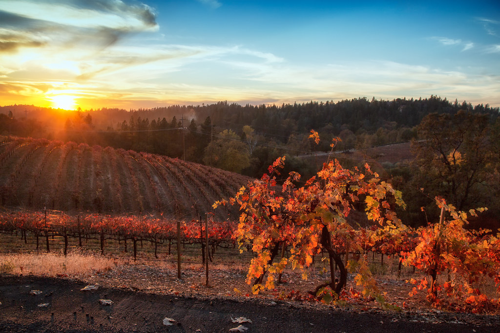
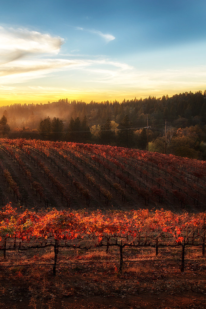
Sunset Vineyard

Boeger Winery sunset view
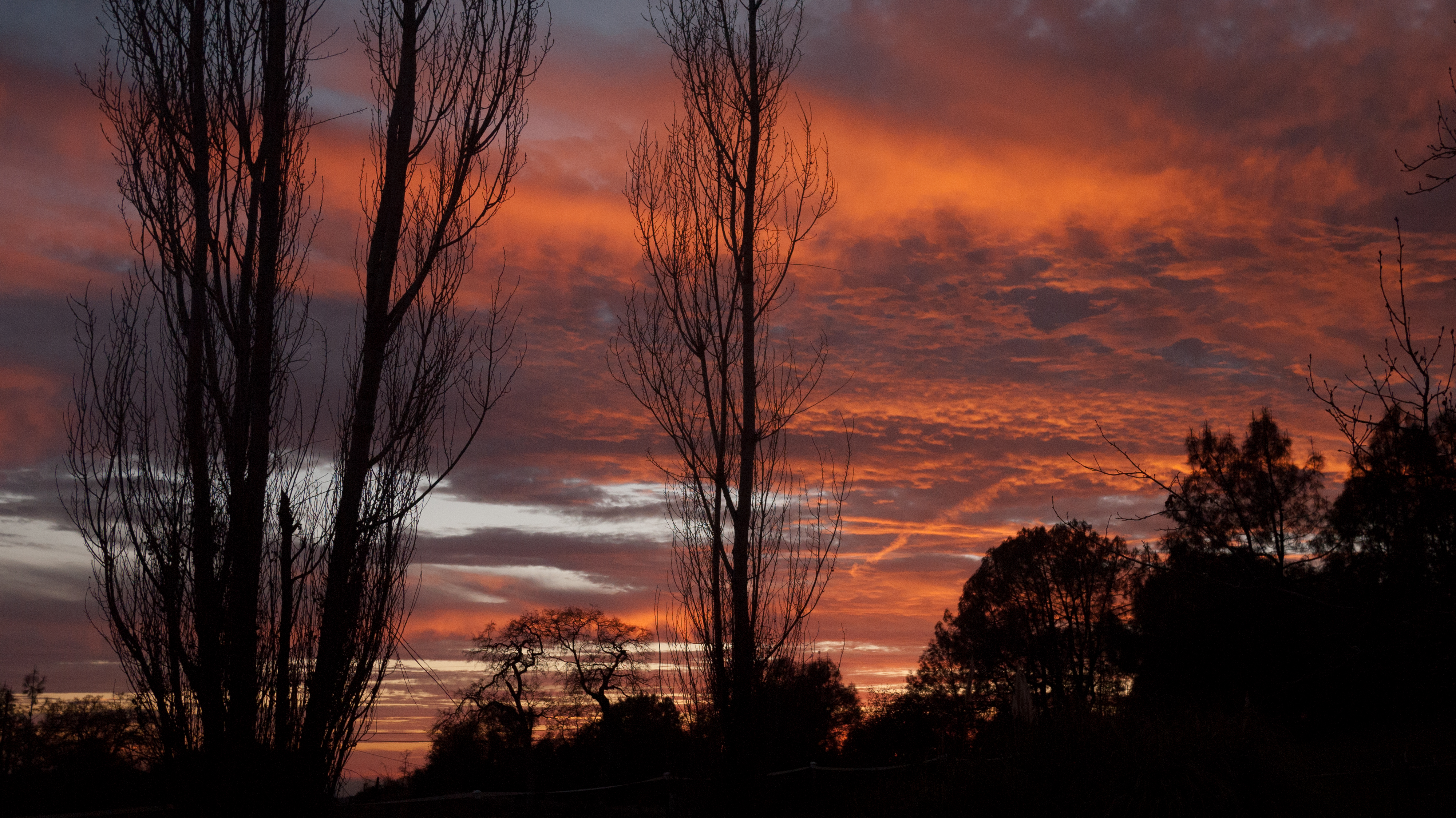
My neighbor's yard

sunset, Mormon Emigran Trail, Sierra Nevada, CA 1997_05_31.jpg

Happy Valley

Boeger Winery at Sunset

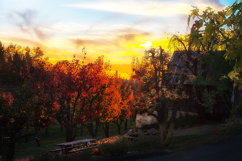
Boeger Winery Orchard
#lavacapwinery #scenic #landscape #vineyards #grapevines #hillside
Apple Hill
Boeger Winery in the Fall
D'Agostini Reservoir
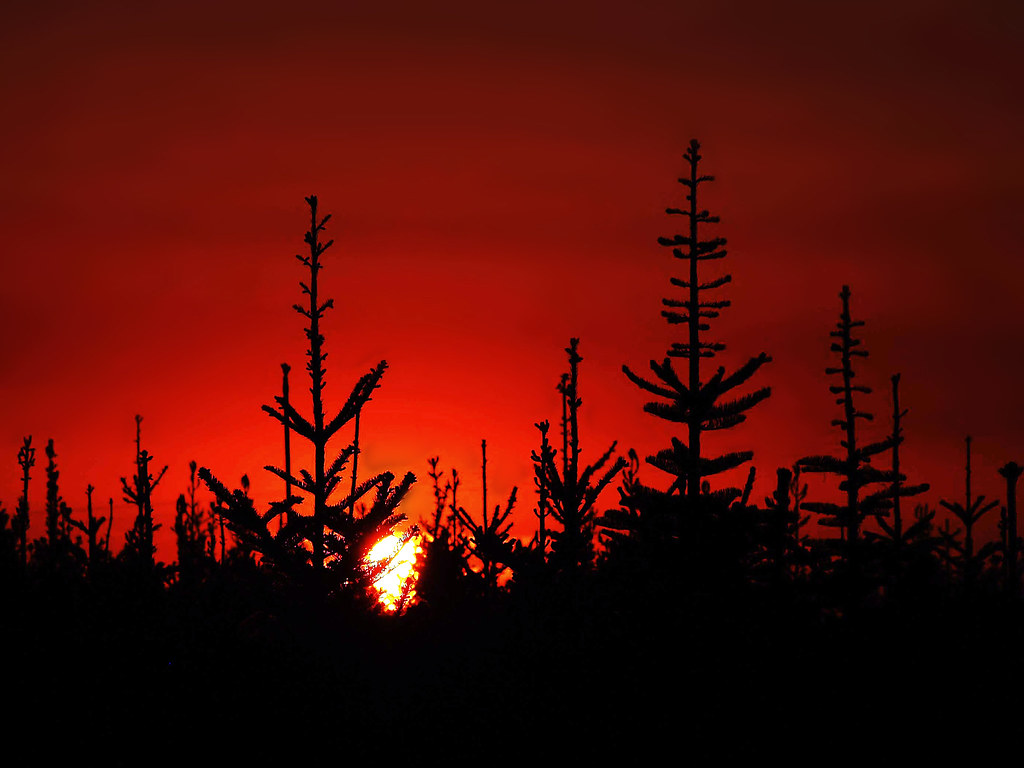
Christmas Tree Farm Sunset
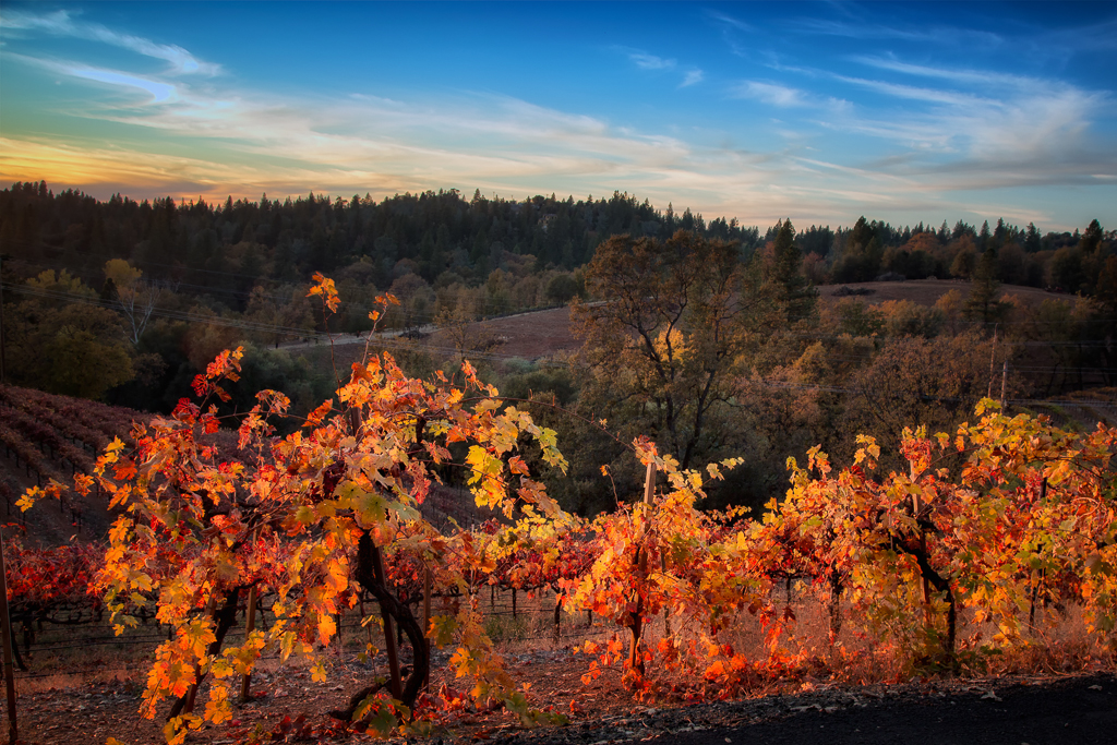
Fall vineyard sunset
Sunset Vineyard
20120209-Sunset at Horseshoe Ranch
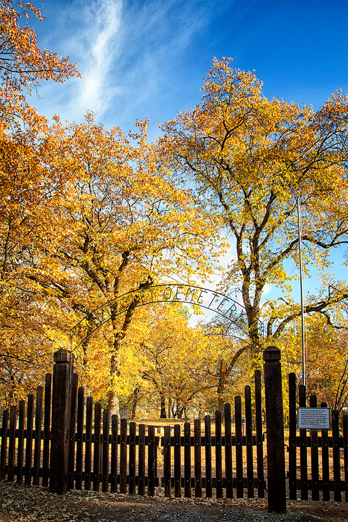
The Old City Cemetery in Placerville
Picnic and Tonka Toys
My neighbor's yard

20120209-Sunset at Horseshoe Ranch
The Shed on the Pond
20120209-Sunset at Horseshoe Ranch
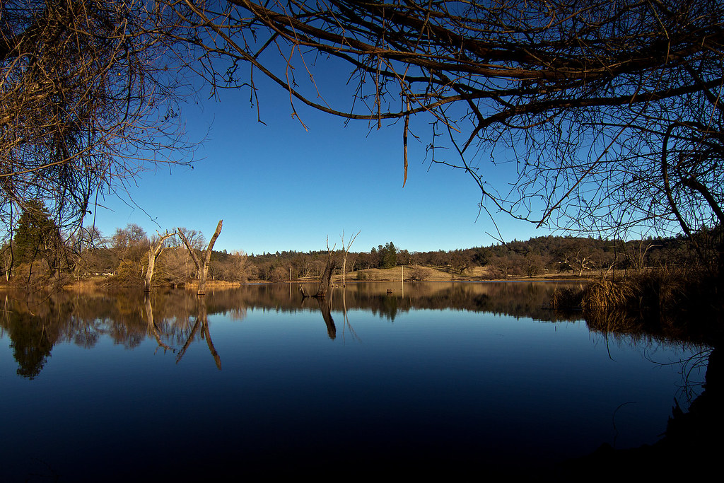
Jenkinson Lake 2008
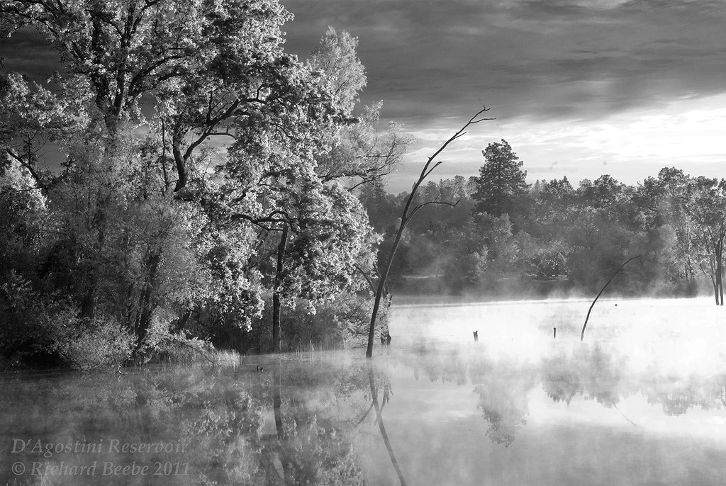
RB_05-27-11_033bw1_D'AgostiniRes-Sunrise
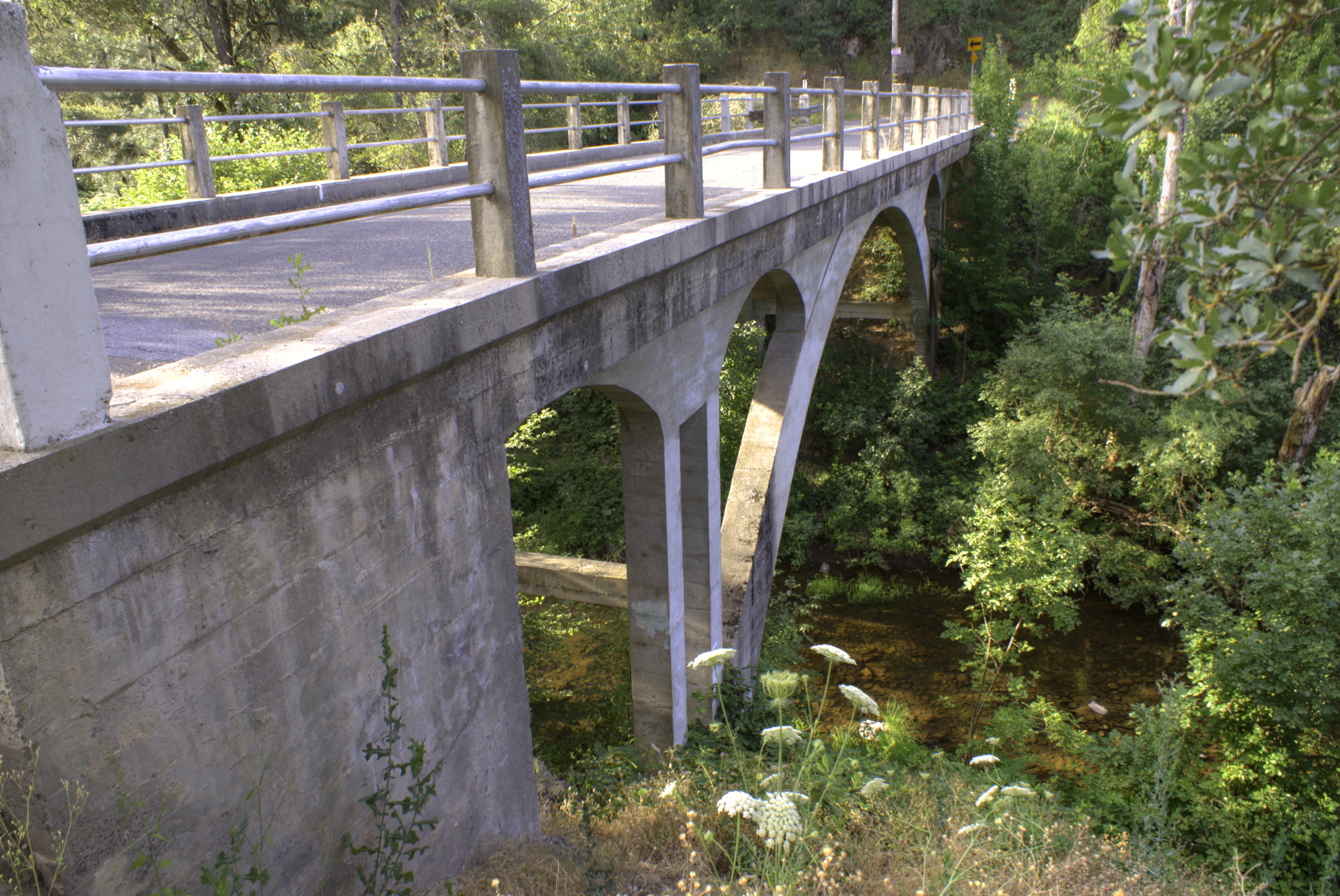
Weber Bridge
Sunrey Rd, Placerville, CA アメリカ合衆国の地図
別の場所を検索
近所の場所
Mt Aukum Rd, Placerville, CA アメリカ合衆国
Mt Aukum Rd, Placerville, CA アメリカ合衆国
Sly Park Rd, Placerville, CA アメリカ合衆国
Kasey Ln, Placerville, CA アメリカ合衆国
Pleasant Valley Rd, Placerville, CA アメリカ合衆国
Sly Park Rd, Placerville, CA アメリカ合衆国
Springer Rd, Placerville, CA アメリカ合衆国
Frog Hollow Dr, Placerville, CA アメリカ合衆国
Thorson Dr, Placerville, CA アメリカ合衆国
Coyote Hill Rd, Placerville, CA アメリカ合衆国コヨーテ・ヒル・ロード
Newtown Rd, Placerville, CA アメリカ合衆国
Sigwart Dr, Placerville, CA アメリカ合衆国
Paso Ct, Placerville, CA アメリカ合衆国
Savage Rd, Placerville, CA アメリカ合衆国サヴェージ・ロード
Pleasant Valley Rd, Placerville, CA アメリカ合衆国
Walls Way, Placerville, CA アメリカ合衆国
Clear Creek Rd, Placerville, CA アメリカ合衆国
Rivendale Rd, Placerville, CA アメリカ合衆国
Kincade Dr, Placerville, CA アメリカ合衆国
Moon Lake Dr, Placerville, CA アメリカ合衆国
最近の検索
- アメリカ合衆国 アラスカ州 レッド・ドッグ・マイン日の出日の入り時間
- Am bhf, Borken, ドイツアム・バーンホーフ日の出日の入り時間
- 4th St E, Sonoma, CA, USA日の出日の入り時間
- Oakland Ave, Williamsport, PA アメリカ合衆国日の出日の入り時間
- Via Roma, Pieranica CR, イタリアローマ通り日の出日の入り時間
- クロアチア 〒 ドゥブロブニク GradClock Tower of Dubrovnik日の出日の入り時間
- アルゼンチン チュブ州 トレリュー日の出日の入り時間
- Hartfords Bluff Cir, Mt Pleasant, SC アメリカ合衆国日の出日の入り時間
- 日本、熊本県熊本市北区日の出日の入り時間
- 中華人民共和国 福州市 平潭県 平潭島日の出日の入り時間