County Rd, Eureka Springs, AR アメリカ合衆国SUGAR RIDGE RESORT日の出日の入り時間
Location: アメリカ合衆国 > アーカンソー州 > キャロル > アメリカ合衆国 アーカンソー州 シダー > アメリカ合衆国 アーカンソー州 ユーレカスプリングス >
時間帯:
America/Chicago
現地時間:
2025-06-28 13:43:20
経度:
-93.8614302
緯度:
36.4356974
今日の日の出時刻:
06:00:35 AM
今日の日の入時刻:
08:37:35 PM
今日の日長:
14h 37m 0s
明日の日の出時刻:
06:01:01 AM
明日の日の入時刻:
08:37:33 PM
明日の日長:
14h 36m 32s
すべて表示する
| 日付 | 日出 | 日没 | 日長 |
|---|---|---|---|
| 2025年01月01日 | 07:27:18 AM | 05:11:53 PM | 9h 44m 35s |
| 2025年01月02日 | 07:27:24 AM | 05:12:42 PM | 9h 45m 18s |
| 2025年01月03日 | 07:27:29 AM | 05:13:32 PM | 9h 46m 3s |
| 2025年01月04日 | 07:27:31 AM | 05:14:23 PM | 9h 46m 52s |
| 2025年01月05日 | 07:27:32 AM | 05:15:15 PM | 9h 47m 43s |
| 2025年01月06日 | 07:27:30 AM | 05:16:08 PM | 9h 48m 38s |
| 2025年01月07日 | 07:27:27 AM | 05:17:03 PM | 9h 49m 36s |
| 2025年01月08日 | 07:27:21 AM | 05:17:58 PM | 9h 50m 37s |
| 2025年01月09日 | 07:27:14 AM | 05:18:54 PM | 9h 51m 40s |
| 2025年01月10日 | 07:27:05 AM | 05:19:51 PM | 9h 52m 46s |
| 2025年01月11日 | 07:26:53 AM | 05:20:48 PM | 9h 53m 55s |
| 2025年01月12日 | 07:26:40 AM | 05:21:47 PM | 9h 55m 7s |
| 2025年01月13日 | 07:26:24 AM | 05:22:46 PM | 9h 56m 22s |
| 2025年01月14日 | 07:26:07 AM | 05:23:45 PM | 9h 57m 38s |
| 2025年01月15日 | 07:25:48 AM | 05:24:46 PM | 9h 58m 58s |
| 2025年01月16日 | 07:25:26 AM | 05:25:46 PM | 10h 0m 20s |
| 2025年01月17日 | 07:25:03 AM | 05:26:48 PM | 10h 1m 45s |
| 2025年01月18日 | 07:24:38 AM | 05:27:50 PM | 10h 3m 12s |
| 2025年01月19日 | 07:24:11 AM | 05:28:52 PM | 10h 4m 41s |
| 2025年01月20日 | 07:23:42 AM | 05:29:54 PM | 10h 6m 12s |
| 2025年01月21日 | 07:23:11 AM | 05:30:57 PM | 10h 7m 46s |
| 2025年01月22日 | 07:22:39 AM | 05:32:00 PM | 10h 9m 21s |
| 2025年01月23日 | 07:22:05 AM | 05:33:04 PM | 10h 10m 59s |
| 2025年01月24日 | 07:21:28 AM | 05:34:08 PM | 10h 12m 40s |
| 2025年01月25日 | 07:20:51 AM | 05:35:11 PM | 10h 14m 20s |
| 2025年01月26日 | 07:20:11 AM | 05:36:15 PM | 10h 16m 4s |
| 2025年01月27日 | 07:19:30 AM | 05:37:19 PM | 10h 17m 49s |
| 2025年01月28日 | 07:18:47 AM | 05:38:23 PM | 10h 19m 36s |
| 2025年01月29日 | 07:18:02 AM | 05:39:27 PM | 10h 21m 25s |
| 2025年01月30日 | 07:17:15 AM | 05:40:32 PM | 10h 23m 17s |
| 2025年01月31日 | 07:16:28 AM | 05:41:36 PM | 10h 25m 8s |
| 2025年02月01日 | 07:15:38 AM | 05:42:40 PM | 10h 27m 2s |
| 2025年02月02日 | 07:14:47 AM | 05:43:44 PM | 10h 28m 57s |
| 2025年02月03日 | 07:13:54 AM | 05:44:47 PM | 10h 30m 53s |
| 2025年02月04日 | 07:13:00 AM | 05:45:51 PM | 10h 32m 51s |
| 2025年02月05日 | 07:12:05 AM | 05:46:55 PM | 10h 34m 50s |
| 2025年02月06日 | 07:11:08 AM | 05:47:58 PM | 10h 36m 50s |
| 2025年02月07日 | 07:10:10 AM | 05:49:01 PM | 10h 38m 51s |
| 2025年02月08日 | 07:09:10 AM | 05:50:04 PM | 10h 40m 54s |
| 2025年02月09日 | 07:08:09 AM | 05:51:07 PM | 10h 42m 58s |
| 2025年02月10日 | 07:07:07 AM | 05:52:09 PM | 10h 45m 2s |
| 2025年02月11日 | 07:06:03 AM | 05:53:12 PM | 10h 47m 9s |
| 2025年02月12日 | 07:04:58 AM | 05:54:14 PM | 10h 49m 16s |
| 2025年02月13日 | 07:03:52 AM | 05:55:15 PM | 10h 51m 23s |
| 2025年02月14日 | 07:02:45 AM | 05:56:17 PM | 10h 53m 32s |
| 2025年02月15日 | 07:01:37 AM | 05:57:18 PM | 10h 55m 41s |
| 2025年02月16日 | 07:00:27 AM | 05:58:19 PM | 10h 57m 52s |
| 2025年02月17日 | 06:59:17 AM | 05:59:19 PM | 11h 0m 2s |
| 2025年02月18日 | 06:58:05 AM | 06:00:19 PM | 11h 2m 14s |
| 2025年02月19日 | 06:56:53 AM | 06:01:19 PM | 11h 4m 26s |
| 2025年02月20日 | 06:55:39 AM | 06:02:19 PM | 11h 6m 40s |
| 2025年02月21日 | 06:54:25 AM | 06:03:18 PM | 11h 8m 53s |
| 2025年02月22日 | 06:53:10 AM | 06:04:17 PM | 11h 11m 7s |
| 2025年02月23日 | 06:51:53 AM | 06:05:15 PM | 11h 13m 22s |
| 2025年02月24日 | 06:50:36 AM | 06:06:13 PM | 11h 15m 37s |
| 2025年02月25日 | 06:49:18 AM | 06:07:11 PM | 11h 17m 53s |
| 2025年02月26日 | 06:48:00 AM | 06:08:09 PM | 11h 20m 9s |
| 2025年02月27日 | 06:46:40 AM | 06:09:06 PM | 11h 22m 26s |
| 2025年02月28日 | 06:45:20 AM | 06:10:03 PM | 11h 24m 43s |
| 2025年03月01日 | 06:44:00 AM | 06:11:00 PM | 11h 27m 0s |
| 2025年03月02日 | 06:42:38 AM | 06:11:56 PM | 11h 29m 18s |
| 2025年03月03日 | 06:41:16 AM | 06:12:52 PM | 11h 31m 36s |
| 2025年03月04日 | 06:39:54 AM | 06:13:48 PM | 11h 33m 54s |
| 2025年03月05日 | 06:38:30 AM | 06:14:43 PM | 11h 36m 13s |
| 2025年03月06日 | 06:37:07 AM | 06:15:38 PM | 11h 38m 31s |
| 2025年03月07日 | 06:35:43 AM | 06:16:33 PM | 11h 40m 50s |
| 2025年03月08日 | 06:34:18 AM | 06:17:28 PM | 11h 43m 10s |
| 2025年03月09日 | 07:32:56 AM | 07:18:20 PM | 11h 45m 24s |
| 2025年03月10日 | 07:31:31 AM | 07:19:14 PM | 11h 47m 43s |
| 2025年03月11日 | 07:30:05 AM | 07:20:08 PM | 11h 50m 3s |
| 2025年03月12日 | 07:28:39 AM | 07:21:01 PM | 11h 52m 22s |
| 2025年03月13日 | 07:27:12 AM | 07:21:55 PM | 11h 54m 43s |
| 2025年03月14日 | 07:25:46 AM | 07:22:48 PM | 11h 57m 2s |
| 2025年03月15日 | 07:24:19 AM | 07:23:41 PM | 11h 59m 22s |
| 2025年03月16日 | 07:22:51 AM | 07:24:34 PM | 12h 1m 43s |
| 2025年03月17日 | 07:21:24 AM | 07:25:26 PM | 12h 4m 2s |
| 2025年03月18日 | 07:19:56 AM | 07:26:19 PM | 12h 6m 23s |
| 2025年03月19日 | 07:18:29 AM | 07:27:11 PM | 12h 8m 42s |
| 2025年03月20日 | 07:17:01 AM | 07:28:03 PM | 12h 11m 2s |
| 2025年03月21日 | 07:15:33 AM | 07:28:55 PM | 12h 13m 22s |
| 2025年03月22日 | 07:14:05 AM | 07:29:47 PM | 12h 15m 42s |
| 2025年03月23日 | 07:12:37 AM | 07:30:39 PM | 12h 18m 2s |
| 2025年03月24日 | 07:11:09 AM | 07:31:31 PM | 12h 20m 22s |
| 2025年03月25日 | 07:09:41 AM | 07:32:22 PM | 12h 22m 41s |
| 2025年03月26日 | 07:08:14 AM | 07:33:14 PM | 12h 25m 0s |
| 2025年03月27日 | 07:06:46 AM | 07:34:06 PM | 12h 27m 20s |
| 2025年03月28日 | 07:05:18 AM | 07:34:57 PM | 12h 29m 39s |
| 2025年03月29日 | 07:03:51 AM | 07:35:48 PM | 12h 31m 57s |
| 2025年03月30日 | 07:02:24 AM | 07:36:40 PM | 12h 34m 16s |
| 2025年03月31日 | 07:00:57 AM | 07:37:31 PM | 12h 36m 34s |
| 2025年04月01日 | 06:59:30 AM | 07:38:22 PM | 12h 38m 52s |
| 2025年04月02日 | 06:58:04 AM | 07:39:14 PM | 12h 41m 10s |
| 2025年04月03日 | 06:56:38 AM | 07:40:05 PM | 12h 43m 27s |
| 2025年04月04日 | 06:55:12 AM | 07:40:56 PM | 12h 45m 44s |
| 2025年04月05日 | 06:53:47 AM | 07:41:47 PM | 12h 48m 0s |
| 2025年04月06日 | 06:52:22 AM | 07:42:39 PM | 12h 50m 17s |
| 2025年04月07日 | 06:50:57 AM | 07:43:30 PM | 12h 52m 33s |
| 2025年04月08日 | 06:49:33 AM | 07:44:22 PM | 12h 54m 49s |
| 2025年04月09日 | 06:48:09 AM | 07:45:13 PM | 12h 57m 4s |
| 2025年04月10日 | 06:46:46 AM | 07:46:04 PM | 12h 59m 18s |
| 2025年04月11日 | 06:45:24 AM | 07:46:56 PM | 13h 1m 32s |
| 2025年04月12日 | 06:44:02 AM | 07:47:47 PM | 13h 3m 45s |
| 2025年04月13日 | 06:42:41 AM | 07:48:39 PM | 13h 5m 58s |
| 2025年04月14日 | 06:41:20 AM | 07:49:31 PM | 13h 8m 11s |
| 2025年04月15日 | 06:40:00 AM | 07:50:22 PM | 13h 10m 22s |
| 2025年04月16日 | 06:38:41 AM | 07:51:14 PM | 13h 12m 33s |
| 2025年04月17日 | 06:37:22 AM | 07:52:06 PM | 13h 14m 44s |
| 2025年04月18日 | 06:36:04 AM | 07:52:58 PM | 13h 16m 54s |
| 2025年04月19日 | 06:34:47 AM | 07:53:50 PM | 13h 19m 3s |
| 2025年04月20日 | 06:33:31 AM | 07:54:42 PM | 13h 21m 11s |
| 2025年04月21日 | 06:32:15 AM | 07:55:34 PM | 13h 23m 19s |
| 2025年04月22日 | 06:31:01 AM | 07:56:26 PM | 13h 25m 25s |
| 2025年04月23日 | 06:29:47 AM | 07:57:18 PM | 13h 27m 31s |
| 2025年04月24日 | 06:28:35 AM | 07:58:10 PM | 13h 29m 35s |
| 2025年04月25日 | 06:27:23 AM | 07:59:02 PM | 13h 31m 39s |
| 2025年04月26日 | 06:26:12 AM | 07:59:54 PM | 13h 33m 42s |
| 2025年04月27日 | 06:25:02 AM | 08:00:46 PM | 13h 35m 44s |
| 2025年04月28日 | 06:23:54 AM | 08:01:38 PM | 13h 37m 44s |
| 2025年04月29日 | 06:22:46 AM | 08:02:30 PM | 13h 39m 44s |
| 2025年04月30日 | 06:21:40 AM | 08:03:22 PM | 13h 41m 42s |
| 2025年05月01日 | 06:20:34 AM | 08:04:14 PM | 13h 43m 40s |
| 2025年05月02日 | 06:19:30 AM | 08:05:06 PM | 13h 45m 36s |
| 2025年05月03日 | 06:18:27 AM | 08:05:58 PM | 13h 47m 31s |
| 2025年05月04日 | 06:17:25 AM | 08:06:50 PM | 13h 49m 25s |
| 2025年05月05日 | 06:16:25 AM | 08:07:41 PM | 13h 51m 16s |
| 2025年05月06日 | 06:15:25 AM | 08:08:33 PM | 13h 53m 8s |
| 2025年05月07日 | 06:14:27 AM | 08:09:24 PM | 13h 54m 57s |
| 2025年05月08日 | 06:13:31 AM | 08:10:15 PM | 13h 56m 44s |
| 2025年05月09日 | 06:12:35 AM | 08:11:06 PM | 13h 58m 31s |
| 2025年05月10日 | 06:11:42 AM | 08:11:57 PM | 14h 0m 15s |
| 2025年05月11日 | 06:10:49 AM | 08:12:47 PM | 14h 1m 58s |
| 2025年05月12日 | 06:09:58 AM | 08:13:37 PM | 14h 3m 39s |
| 2025年05月13日 | 06:09:08 AM | 08:14:27 PM | 14h 5m 19s |
| 2025年05月14日 | 06:08:20 AM | 08:15:17 PM | 14h 6m 57s |
| 2025年05月15日 | 06:07:33 AM | 08:16:06 PM | 14h 8m 33s |
| 2025年05月16日 | 06:06:48 AM | 08:16:55 PM | 14h 10m 7s |
| 2025年05月17日 | 06:06:04 AM | 08:17:43 PM | 14h 11m 39s |
| 2025年05月18日 | 06:05:22 AM | 08:18:31 PM | 14h 13m 9s |
| 2025年05月19日 | 06:04:41 AM | 08:19:19 PM | 14h 14m 38s |
| 2025年05月20日 | 06:04:02 AM | 08:20:06 PM | 14h 16m 4s |
| 2025年05月21日 | 06:03:25 AM | 08:20:52 PM | 14h 17m 27s |
| 2025年05月22日 | 06:02:49 AM | 08:21:38 PM | 14h 18m 49s |
| 2025年05月23日 | 06:02:15 AM | 08:22:23 PM | 14h 20m 8s |
| 2025年05月24日 | 06:01:43 AM | 08:23:07 PM | 14h 21m 24s |
| 2025年05月25日 | 06:01:12 AM | 08:23:51 PM | 14h 22m 39s |
| 2025年05月26日 | 06:00:43 AM | 08:24:34 PM | 14h 23m 51s |
| 2025年05月27日 | 06:00:15 AM | 08:25:17 PM | 14h 25m 2s |
| 2025年05月28日 | 05:59:49 AM | 08:25:58 PM | 14h 26m 9s |
| 2025年05月29日 | 05:59:25 AM | 08:26:39 PM | 14h 27m 14s |
| 2025年05月30日 | 05:59:03 AM | 08:27:19 PM | 14h 28m 16s |
| 2025年05月31日 | 05:58:42 AM | 08:27:58 PM | 14h 29m 16s |
| 2025年06月01日 | 05:58:24 AM | 08:28:36 PM | 14h 30m 12s |
| 2025年06月02日 | 05:58:06 AM | 08:29:13 PM | 14h 31m 7s |
| 2025年06月03日 | 05:57:51 AM | 08:29:49 PM | 14h 31m 58s |
| 2025年06月04日 | 05:57:37 AM | 08:30:24 PM | 14h 32m 47s |
| 2025年06月05日 | 05:57:25 AM | 08:30:57 PM | 14h 33m 32s |
| 2025年06月06日 | 05:57:15 AM | 08:31:30 PM | 14h 34m 15s |
| 2025年06月07日 | 05:57:07 AM | 08:32:02 PM | 14h 34m 55s |
| 2025年06月08日 | 05:57:00 AM | 08:32:32 PM | 14h 35m 32s |
| 2025年06月09日 | 05:56:55 AM | 08:33:01 PM | 14h 36m 6s |
| 2025年06月10日 | 05:56:51 AM | 08:33:29 PM | 14h 36m 38s |
| 2025年06月11日 | 05:56:50 AM | 08:33:55 PM | 14h 37m 5s |
| 2025年06月12日 | 05:56:50 AM | 08:34:20 PM | 14h 37m 30s |
| 2025年06月13日 | 05:56:51 AM | 08:34:44 PM | 14h 37m 53s |
| 2025年06月14日 | 05:56:54 AM | 08:35:06 PM | 14h 38m 12s |
| 2025年06月15日 | 05:56:59 AM | 08:35:27 PM | 14h 38m 28s |
| 2025年06月16日 | 05:57:06 AM | 08:35:47 PM | 14h 38m 41s |
| 2025年06月17日 | 05:57:14 AM | 08:36:04 PM | 14h 38m 50s |
| 2025年06月18日 | 05:57:24 AM | 08:36:21 PM | 14h 38m 57s |
| 2025年06月19日 | 05:57:35 AM | 08:36:36 PM | 14h 39m 1s |
| 2025年06月20日 | 05:57:48 AM | 08:36:49 PM | 14h 39m 1s |
| 2025年06月21日 | 05:58:03 AM | 08:37:01 PM | 14h 38m 58s |
| 2025年06月22日 | 05:58:18 AM | 08:37:11 PM | 14h 38m 53s |
| 2025年06月23日 | 05:58:36 AM | 08:37:19 PM | 14h 38m 43s |
| 2025年06月24日 | 05:58:55 AM | 08:37:26 PM | 14h 38m 31s |
| 2025年06月25日 | 05:59:15 AM | 08:37:31 PM | 14h 38m 16s |
| 2025年06月26日 | 05:59:36 AM | 08:37:34 PM | 14h 37m 58s |
| 2025年06月27日 | 05:59:59 AM | 08:37:36 PM | 14h 37m 37s |
| 2025年06月28日 | 06:00:23 AM | 08:37:36 PM | 14h 37m 13s |
| 2025年06月29日 | 06:00:49 AM | 08:37:34 PM | 14h 36m 45s |
| 2025年06月30日 | 06:01:16 AM | 08:37:31 PM | 14h 36m 15s |
| 2025年07月01日 | 06:01:44 AM | 08:37:25 PM | 14h 35m 41s |
| 2025年07月02日 | 06:02:13 AM | 08:37:18 PM | 14h 35m 5s |
| 2025年07月03日 | 06:02:43 AM | 08:37:10 PM | 14h 34m 27s |
| 2025年07月04日 | 06:03:14 AM | 08:36:59 PM | 14h 33m 45s |
| 2025年07月05日 | 06:03:47 AM | 08:36:47 PM | 14h 33m 0s |
| 2025年07月06日 | 06:04:20 AM | 08:36:33 PM | 14h 32m 13s |
| 2025年07月07日 | 06:04:55 AM | 08:36:17 PM | 14h 31m 22s |
| 2025年07月08日 | 06:05:30 AM | 08:35:59 PM | 14h 30m 29s |
| 2025年07月09日 | 06:06:07 AM | 08:35:40 PM | 14h 29m 33s |
| 2025年07月10日 | 06:06:44 AM | 08:35:18 PM | 14h 28m 34s |
| 2025年07月11日 | 06:07:22 AM | 08:34:56 PM | 14h 27m 34s |
| 2025年07月12日 | 06:08:01 AM | 08:34:31 PM | 14h 26m 30s |
| 2025年07月13日 | 06:08:40 AM | 08:34:04 PM | 14h 25m 24s |
| 2025年07月14日 | 06:09:21 AM | 08:33:36 PM | 14h 24m 15s |
| 2025年07月15日 | 06:10:02 AM | 08:33:06 PM | 14h 23m 4s |
| 2025年07月16日 | 06:10:44 AM | 08:32:35 PM | 14h 21m 51s |
| 2025年07月17日 | 06:11:26 AM | 08:32:02 PM | 14h 20m 36s |
| 2025年07月18日 | 06:12:09 AM | 08:31:27 PM | 14h 19m 18s |
| 2025年07月19日 | 06:12:53 AM | 08:30:50 PM | 14h 17m 57s |
| 2025年07月20日 | 06:13:37 AM | 08:30:12 PM | 14h 16m 35s |
| 2025年07月21日 | 06:14:21 AM | 08:29:32 PM | 14h 15m 11s |
| 2025年07月22日 | 06:15:06 AM | 08:28:50 PM | 14h 13m 44s |
| 2025年07月23日 | 06:15:52 AM | 08:28:07 PM | 14h 12m 15s |
| 2025年07月24日 | 06:16:38 AM | 08:27:22 PM | 14h 10m 44s |
| 2025年07月25日 | 06:17:24 AM | 08:26:36 PM | 14h 9m 12s |
| 2025年07月26日 | 06:18:10 AM | 08:25:48 PM | 14h 7m 38s |
| 2025年07月27日 | 06:18:57 AM | 08:24:59 PM | 14h 6m 2s |
| 2025年07月28日 | 06:19:44 AM | 08:24:08 PM | 14h 4m 24s |
| 2025年07月29日 | 06:20:32 AM | 08:23:16 PM | 14h 2m 44s |
| 2025年07月30日 | 06:21:19 AM | 08:22:22 PM | 14h 1m 3s |
| 2025年07月31日 | 06:22:07 AM | 08:21:27 PM | 13h 59m 20s |
| 2025年08月01日 | 06:22:55 AM | 08:20:31 PM | 13h 57m 36s |
| 2025年08月02日 | 06:23:43 AM | 08:19:33 PM | 13h 55m 50s |
| 2025年08月03日 | 06:24:31 AM | 08:18:34 PM | 13h 54m 3s |
| 2025年08月04日 | 06:25:20 AM | 08:17:33 PM | 13h 52m 13s |
| 2025年08月05日 | 06:26:08 AM | 08:16:31 PM | 13h 50m 23s |
| 2025年08月06日 | 06:26:56 AM | 08:15:28 PM | 13h 48m 32s |
| 2025年08月07日 | 06:27:45 AM | 08:14:24 PM | 13h 46m 39s |
| 2025年08月08日 | 06:28:34 AM | 08:13:19 PM | 13h 44m 45s |
| 2025年08月09日 | 06:29:22 AM | 08:12:12 PM | 13h 42m 50s |
| 2025年08月10日 | 06:30:11 AM | 08:11:04 PM | 13h 40m 53s |
| 2025年08月11日 | 06:31:00 AM | 08:09:55 PM | 13h 38m 55s |
| 2025年08月12日 | 06:31:48 AM | 08:08:45 PM | 13h 36m 57s |
| 2025年08月13日 | 06:32:37 AM | 08:07:34 PM | 13h 34m 57s |
| 2025年08月14日 | 06:33:25 AM | 08:06:22 PM | 13h 32m 57s |
| 2025年08月15日 | 06:34:14 AM | 08:05:09 PM | 13h 30m 55s |
| 2025年08月16日 | 06:35:02 AM | 08:03:55 PM | 13h 28m 53s |
| 2025年08月17日 | 06:35:51 AM | 08:02:39 PM | 13h 26m 48s |
| 2025年08月18日 | 06:36:39 AM | 08:01:23 PM | 13h 24m 44s |
| 2025年08月19日 | 06:37:27 AM | 08:00:07 PM | 13h 22m 40s |
| 2025年08月20日 | 06:38:16 AM | 07:58:49 PM | 13h 20m 33s |
| 2025年08月21日 | 06:39:04 AM | 07:57:30 PM | 13h 18m 26s |
| 2025年08月22日 | 06:39:52 AM | 07:56:11 PM | 13h 16m 19s |
| 2025年08月23日 | 06:40:40 AM | 07:54:51 PM | 13h 14m 11s |
| 2025年08月24日 | 06:41:27 AM | 07:53:30 PM | 13h 12m 3s |
| 2025年08月25日 | 06:42:15 AM | 07:52:08 PM | 13h 9m 53s |
| 2025年08月26日 | 06:43:03 AM | 07:50:46 PM | 13h 7m 43s |
| 2025年08月27日 | 06:43:51 AM | 07:49:23 PM | 13h 5m 32s |
| 2025年08月28日 | 06:44:38 AM | 07:47:59 PM | 13h 3m 21s |
| 2025年08月29日 | 06:45:26 AM | 07:46:35 PM | 13h 1m 9s |
| 2025年08月30日 | 06:46:13 AM | 07:45:10 PM | 12h 58m 57s |
| 2025年08月31日 | 06:47:00 AM | 07:43:45 PM | 12h 56m 45s |
| 2025年09月01日 | 06:47:47 AM | 07:42:19 PM | 12h 54m 32s |
| 2025年09月02日 | 06:48:35 AM | 07:40:52 PM | 12h 52m 17s |
| 2025年09月03日 | 06:49:22 AM | 07:39:26 PM | 12h 50m 4s |
| 2025年09月04日 | 06:50:09 AM | 07:37:58 PM | 12h 47m 49s |
| 2025年09月05日 | 06:50:56 AM | 07:36:31 PM | 12h 45m 35s |
| 2025年09月06日 | 06:51:43 AM | 07:35:03 PM | 12h 43m 20s |
| 2025年09月07日 | 06:52:30 AM | 07:33:34 PM | 12h 41m 4s |
| 2025年09月08日 | 06:53:17 AM | 07:32:06 PM | 12h 38m 49s |
| 2025年09月09日 | 06:54:04 AM | 07:30:37 PM | 12h 36m 33s |
| 2025年09月10日 | 06:54:51 AM | 07:29:08 PM | 12h 34m 17s |
| 2025年09月11日 | 06:55:38 AM | 07:27:38 PM | 12h 32m 0s |
| 2025年09月12日 | 06:56:25 AM | 07:26:09 PM | 12h 29m 44s |
| 2025年09月13日 | 06:57:12 AM | 07:24:39 PM | 12h 27m 27s |
| 2025年09月14日 | 06:57:59 AM | 07:23:09 PM | 12h 25m 10s |
| 2025年09月15日 | 06:58:46 AM | 07:21:39 PM | 12h 22m 53s |
| 2025年09月16日 | 06:59:33 AM | 07:20:09 PM | 12h 20m 36s |
| 2025年09月17日 | 07:00:21 AM | 07:18:39 PM | 12h 18m 18s |
| 2025年09月18日 | 07:01:08 AM | 07:17:08 PM | 12h 16m 0s |
| 2025年09月19日 | 07:01:56 AM | 07:15:38 PM | 12h 13m 42s |
| 2025年09月20日 | 07:02:43 AM | 07:14:08 PM | 12h 11m 25s |
| 2025年09月21日 | 07:03:31 AM | 07:12:38 PM | 12h 9m 7s |
| 2025年09月22日 | 07:04:19 AM | 07:11:08 PM | 12h 6m 49s |
| 2025年09月23日 | 07:05:07 AM | 07:09:38 PM | 12h 4m 31s |
| 2025年09月24日 | 07:05:55 AM | 07:08:08 PM | 12h 2m 13s |
| 2025年09月25日 | 07:06:43 AM | 07:06:39 PM | 11h 59m 56s |
| 2025年09月26日 | 07:07:32 AM | 07:05:09 PM | 11h 57m 37s |
| 2025年09月27日 | 07:08:21 AM | 07:03:40 PM | 11h 55m 19s |
| 2025年09月28日 | 07:09:09 AM | 07:02:11 PM | 11h 53m 2s |
| 2025年09月29日 | 07:09:59 AM | 07:00:43 PM | 11h 50m 44s |
| 2025年09月30日 | 07:10:48 AM | 06:59:15 PM | 11h 48m 27s |
| 2025年10月01日 | 07:11:38 AM | 06:57:47 PM | 11h 46m 9s |
| 2025年10月02日 | 07:12:28 AM | 06:56:19 PM | 11h 43m 51s |
| 2025年10月03日 | 07:13:18 AM | 06:54:52 PM | 11h 41m 34s |
| 2025年10月04日 | 07:14:08 AM | 06:53:25 PM | 11h 39m 17s |
| 2025年10月05日 | 07:14:59 AM | 06:51:59 PM | 11h 37m 0s |
| 2025年10月06日 | 07:15:50 AM | 06:50:34 PM | 11h 34m 44s |
| 2025年10月07日 | 07:16:41 AM | 06:49:09 PM | 11h 32m 28s |
| 2025年10月08日 | 07:17:33 AM | 06:47:44 PM | 11h 30m 11s |
| 2025年10月09日 | 07:18:24 AM | 06:46:20 PM | 11h 27m 56s |
| 2025年10月10日 | 07:19:17 AM | 06:44:57 PM | 11h 25m 40s |
| 2025年10月11日 | 07:20:09 AM | 06:43:34 PM | 11h 23m 25s |
| 2025年10月12日 | 07:21:02 AM | 06:42:12 PM | 11h 21m 10s |
| 2025年10月13日 | 07:21:55 AM | 06:40:51 PM | 11h 18m 56s |
| 2025年10月14日 | 07:22:49 AM | 06:39:31 PM | 11h 16m 42s |
| 2025年10月15日 | 07:23:43 AM | 06:38:11 PM | 11h 14m 28s |
| 2025年10月16日 | 07:24:37 AM | 06:36:52 PM | 11h 12m 15s |
| 2025年10月17日 | 07:25:32 AM | 06:35:34 PM | 11h 10m 2s |
| 2025年10月18日 | 07:26:27 AM | 06:34:17 PM | 11h 7m 50s |
| 2025年10月19日 | 07:27:22 AM | 06:33:01 PM | 11h 5m 39s |
| 2025年10月20日 | 07:28:17 AM | 06:31:45 PM | 11h 3m 28s |
| 2025年10月21日 | 07:29:14 AM | 06:30:31 PM | 11h 1m 17s |
| 2025年10月22日 | 07:30:10 AM | 06:29:18 PM | 10h 59m 8s |
| 2025年10月23日 | 07:31:07 AM | 06:28:06 PM | 10h 56m 59s |
| 2025年10月24日 | 07:32:04 AM | 06:26:55 PM | 10h 54m 51s |
| 2025年10月25日 | 07:33:01 AM | 06:25:44 PM | 10h 52m 43s |
| 2025年10月26日 | 07:33:59 AM | 06:24:36 PM | 10h 50m 37s |
| 2025年10月27日 | 07:34:57 AM | 06:23:28 PM | 10h 48m 31s |
| 2025年10月28日 | 07:35:55 AM | 06:22:21 PM | 10h 46m 26s |
| 2025年10月29日 | 07:36:54 AM | 06:21:16 PM | 10h 44m 22s |
| 2025年10月30日 | 07:37:53 AM | 06:20:12 PM | 10h 42m 19s |
| 2025年10月31日 | 07:38:52 AM | 06:19:09 PM | 10h 40m 17s |
| 2025年11月01日 | 07:39:52 AM | 06:18:08 PM | 10h 38m 16s |
| 2025年11月02日 | 06:40:54 AM | 05:17:06 PM | 10h 36m 12s |
| 2025年11月03日 | 06:41:54 AM | 05:16:07 PM | 10h 34m 13s |
| 2025年11月04日 | 06:42:54 AM | 05:15:10 PM | 10h 32m 16s |
| 2025年11月05日 | 06:43:55 AM | 05:14:14 PM | 10h 30m 19s |
| 2025年11月06日 | 06:44:55 AM | 05:13:20 PM | 10h 28m 25s |
| 2025年11月07日 | 06:45:56 AM | 05:12:28 PM | 10h 26m 32s |
| 2025年11月08日 | 06:46:57 AM | 05:11:36 PM | 10h 24m 39s |
| 2025年11月09日 | 06:47:58 AM | 05:10:47 PM | 10h 22m 49s |
| 2025年11月10日 | 06:48:59 AM | 05:09:59 PM | 10h 21m 0s |
| 2025年11月11日 | 06:50:00 AM | 05:09:13 PM | 10h 19m 13s |
| 2025年11月12日 | 06:51:01 AM | 05:08:28 PM | 10h 17m 27s |
| 2025年11月13日 | 06:52:03 AM | 05:07:46 PM | 10h 15m 43s |
| 2025年11月14日 | 06:53:04 AM | 05:07:04 PM | 10h 14m 0s |
| 2025年11月15日 | 06:54:05 AM | 05:06:25 PM | 10h 12m 20s |
| 2025年11月16日 | 06:55:06 AM | 05:05:48 PM | 10h 10m 42s |
| 2025年11月17日 | 06:56:07 AM | 05:05:12 PM | 10h 9m 5s |
| 2025年11月18日 | 06:57:07 AM | 05:04:38 PM | 10h 7m 31s |
| 2025年11月19日 | 06:58:08 AM | 05:04:06 PM | 10h 5m 58s |
| 2025年11月20日 | 06:59:08 AM | 05:03:36 PM | 10h 4m 28s |
| 2025年11月21日 | 07:00:08 AM | 05:03:07 PM | 10h 2m 59s |
| 2025年11月22日 | 07:01:07 AM | 05:02:41 PM | 10h 1m 34s |
| 2025年11月23日 | 07:02:06 AM | 05:02:16 PM | 10h 0m 10s |
| 2025年11月24日 | 07:03:05 AM | 05:01:54 PM | 9h 58m 49s |
| 2025年11月25日 | 07:04:03 AM | 05:01:33 PM | 9h 57m 30s |
| 2025年11月26日 | 07:05:01 AM | 05:01:15 PM | 9h 56m 14s |
| 2025年11月27日 | 07:05:58 AM | 05:00:58 PM | 9h 55m 0s |
| 2025年11月28日 | 07:06:55 AM | 05:00:44 PM | 9h 53m 49s |
| 2025年11月29日 | 07:07:51 AM | 05:00:31 PM | 9h 52m 40s |
| 2025年11月30日 | 07:08:46 AM | 05:00:20 PM | 9h 51m 34s |
| 2025年12月01日 | 07:09:40 AM | 05:00:12 PM | 9h 50m 32s |
| 2025年12月02日 | 07:10:34 AM | 05:00:05 PM | 9h 49m 31s |
| 2025年12月03日 | 07:11:27 AM | 05:00:01 PM | 9h 48m 34s |
| 2025年12月04日 | 07:12:19 AM | 04:59:59 PM | 9h 47m 40s |
| 2025年12月05日 | 07:13:09 AM | 04:59:58 PM | 9h 46m 49s |
| 2025年12月06日 | 07:13:59 AM | 05:00:00 PM | 9h 46m 1s |
| 2025年12月07日 | 07:14:48 AM | 05:00:04 PM | 9h 45m 16s |
| 2025年12月08日 | 07:15:36 AM | 05:00:09 PM | 9h 44m 33s |
| 2025年12月09日 | 07:16:22 AM | 05:00:17 PM | 9h 43m 55s |
| 2025年12月10日 | 07:17:08 AM | 05:00:27 PM | 9h 43m 19s |
| 2025年12月11日 | 07:17:52 AM | 05:00:39 PM | 9h 42m 47s |
| 2025年12月12日 | 07:18:35 AM | 05:00:52 PM | 9h 42m 17s |
| 2025年12月13日 | 07:19:16 AM | 05:01:08 PM | 9h 41m 52s |
| 2025年12月14日 | 07:19:56 AM | 05:01:26 PM | 9h 41m 30s |
| 2025年12月15日 | 07:20:35 AM | 05:01:45 PM | 9h 41m 10s |
| 2025年12月16日 | 07:21:12 AM | 05:02:07 PM | 9h 40m 55s |
| 2025年12月17日 | 07:21:48 AM | 05:02:30 PM | 9h 40m 42s |
| 2025年12月18日 | 07:22:22 AM | 05:02:55 PM | 9h 40m 33s |
| 2025年12月19日 | 07:22:54 AM | 05:03:22 PM | 9h 40m 28s |
| 2025年12月20日 | 07:23:25 AM | 05:03:51 PM | 9h 40m 26s |
| 2025年12月21日 | 07:23:54 AM | 05:04:21 PM | 9h 40m 27s |
| 2025年12月22日 | 07:24:22 AM | 05:04:54 PM | 9h 40m 32s |
| 2025年12月23日 | 07:24:47 AM | 05:05:27 PM | 9h 40m 40s |
| 2025年12月24日 | 07:25:11 AM | 05:06:03 PM | 9h 40m 52s |
| 2025年12月25日 | 07:25:33 AM | 05:06:40 PM | 9h 41m 7s |
| 2025年12月26日 | 07:25:54 AM | 05:07:19 PM | 9h 41m 25s |
| 2025年12月27日 | 07:26:12 AM | 05:07:59 PM | 9h 41m 47s |
| 2025年12月28日 | 07:26:29 AM | 05:08:41 PM | 9h 42m 12s |
| 2025年12月29日 | 07:26:43 AM | 05:09:24 PM | 9h 42m 41s |
| 2025年12月30日 | 07:26:56 AM | 05:10:09 PM | 9h 43m 13s |
| 2025年12月31日 | 07:27:07 AM | 05:10:54 PM | 9h 43m 47s |
写真

Grandma's Fence

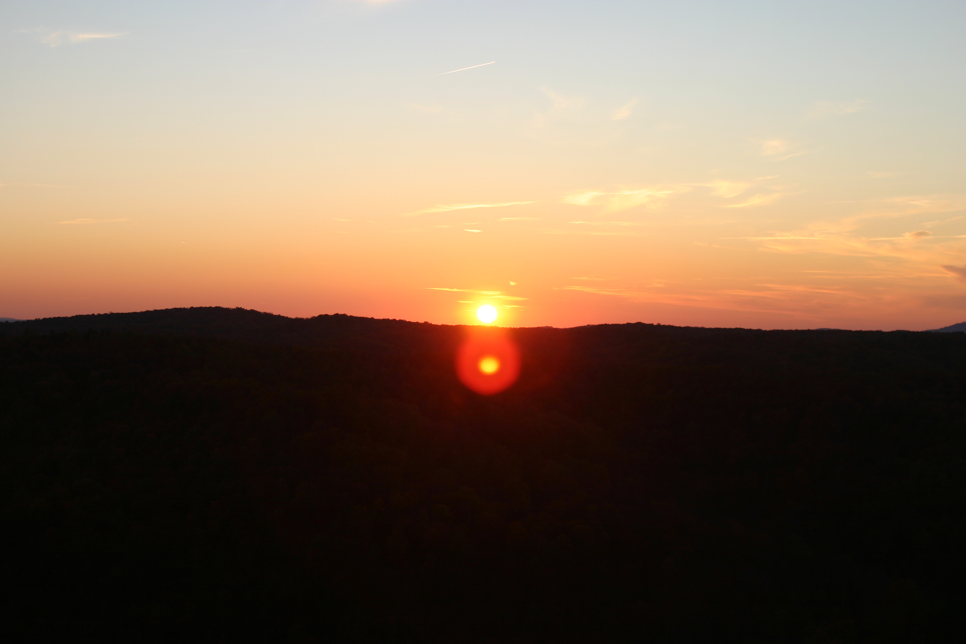
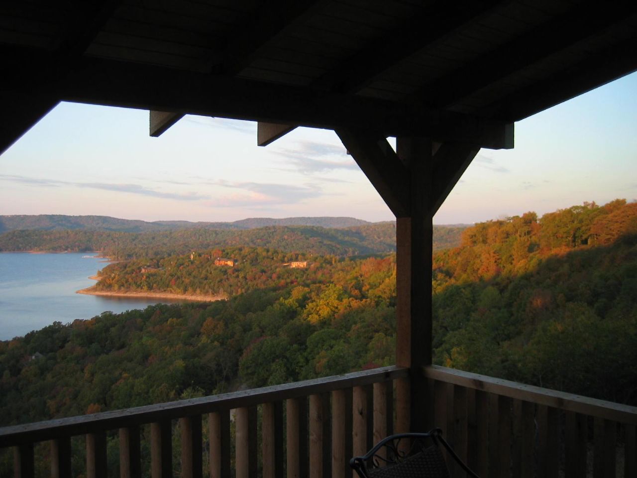
Sunset over the White River
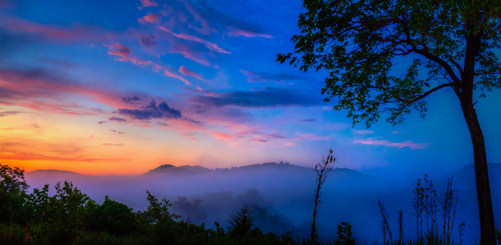
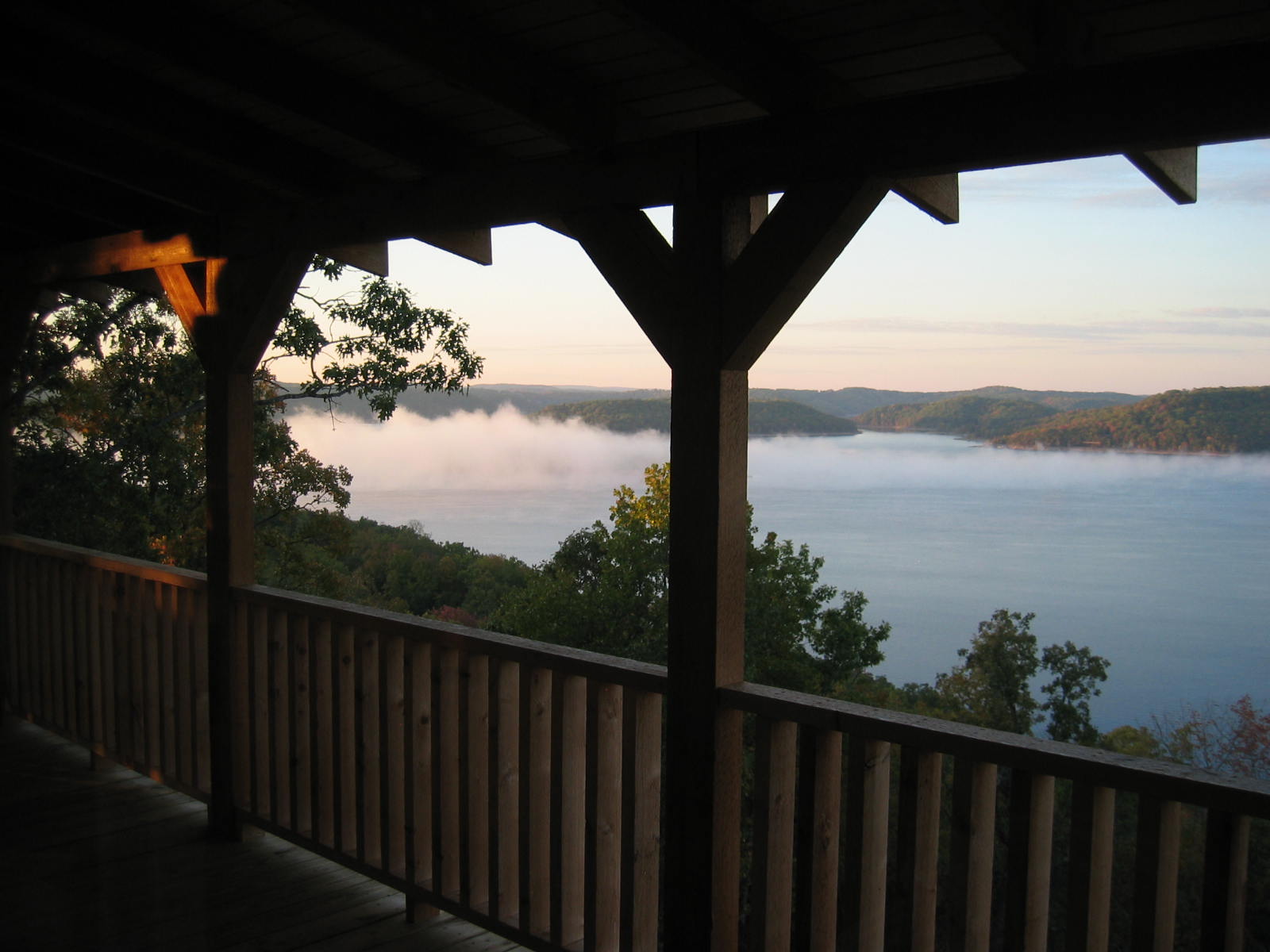
Blue Fog Sunset
Flat Tire Road, Sunset
Eureka Springs, Arkansas

A Beaver Dam Sunset with #ASBbigcats Great start to our #UNTasb14 trip.
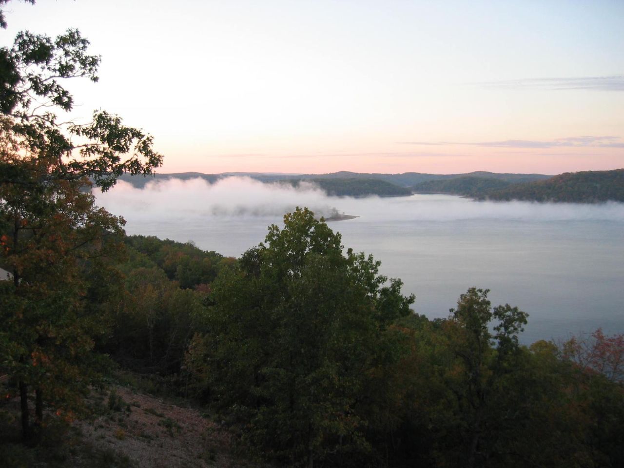
Eureka Springs Sunset
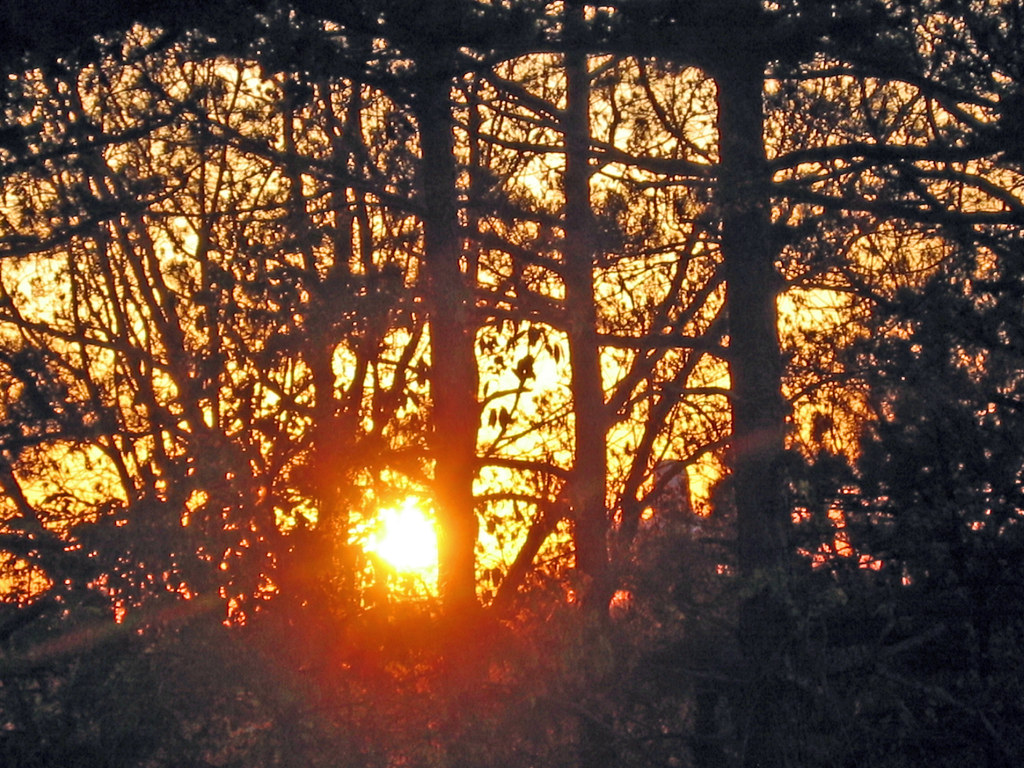
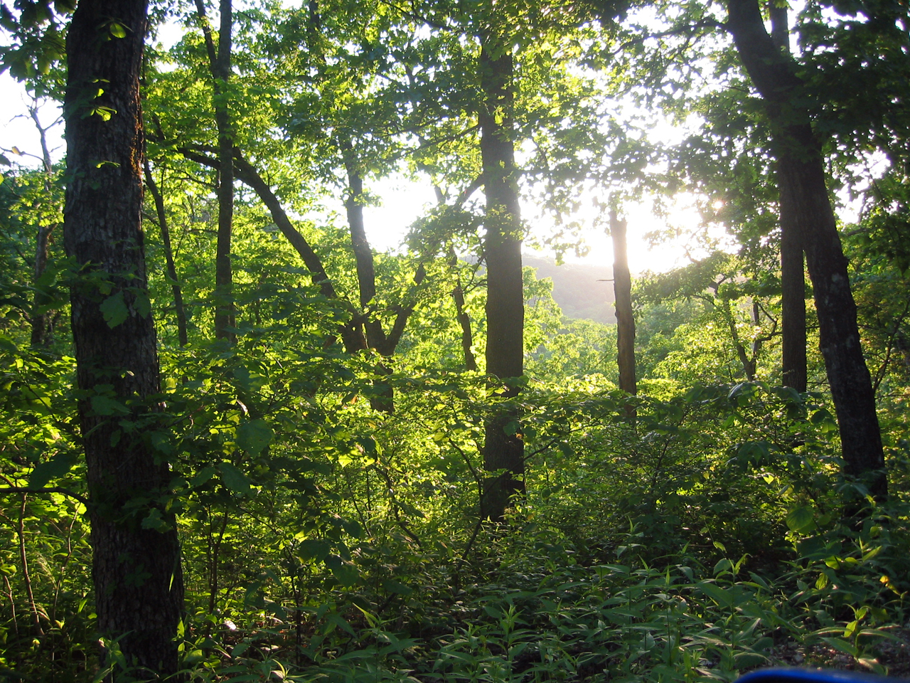
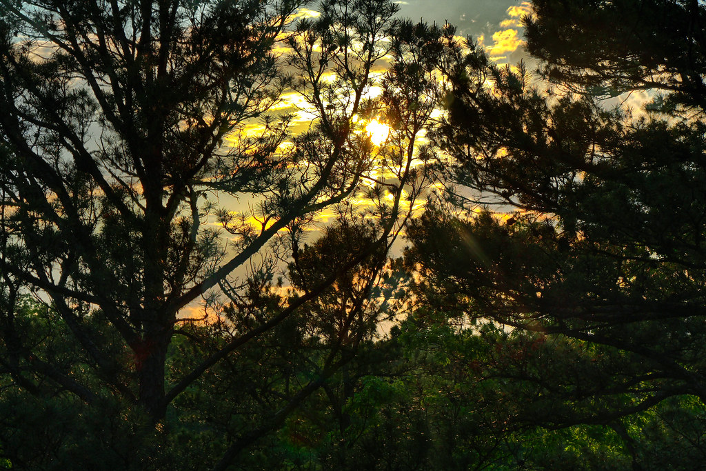
Sunset through trees
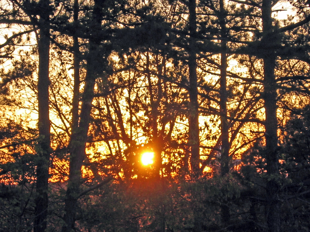
Sunset through trees

Camera Roll-34

Beaver Lake Sunset
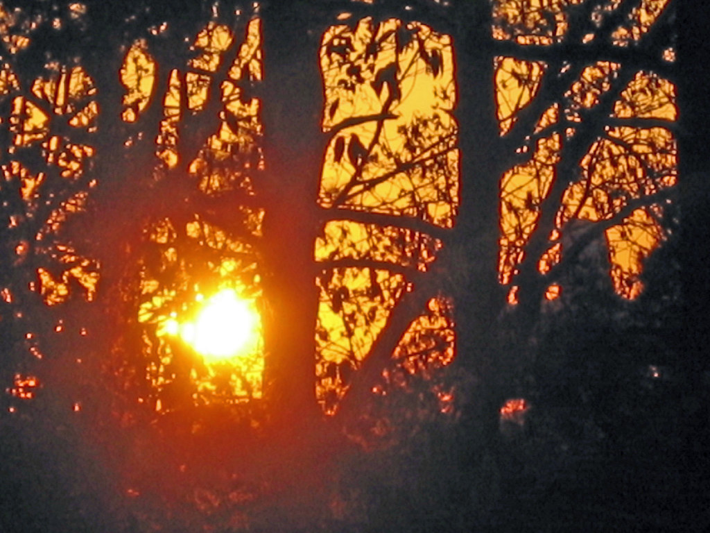
Sunset through trees
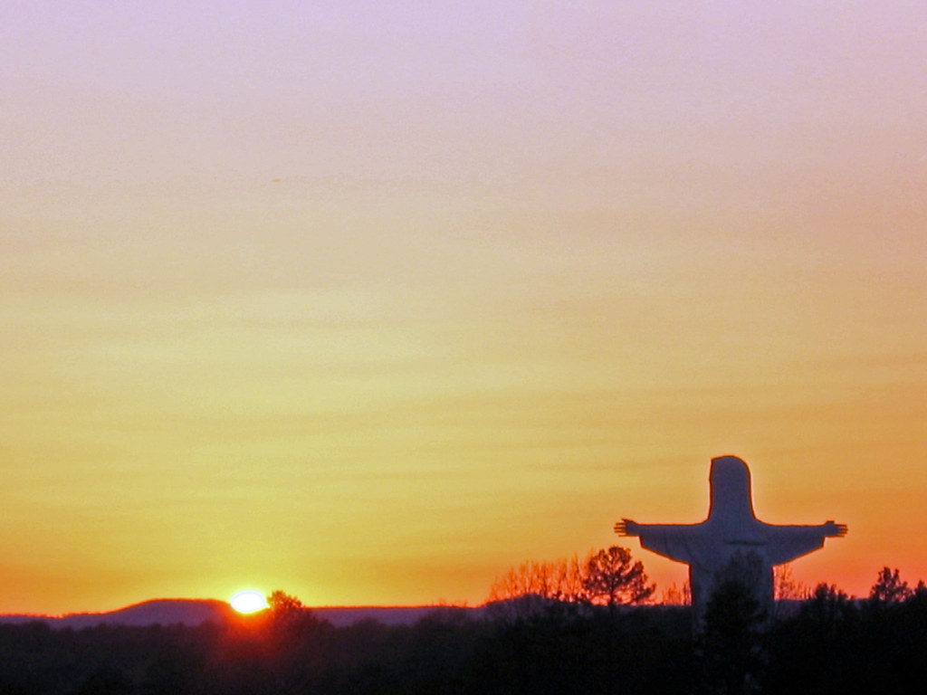
Jesus with sunset
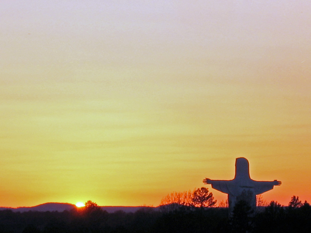
Jesus with sunset
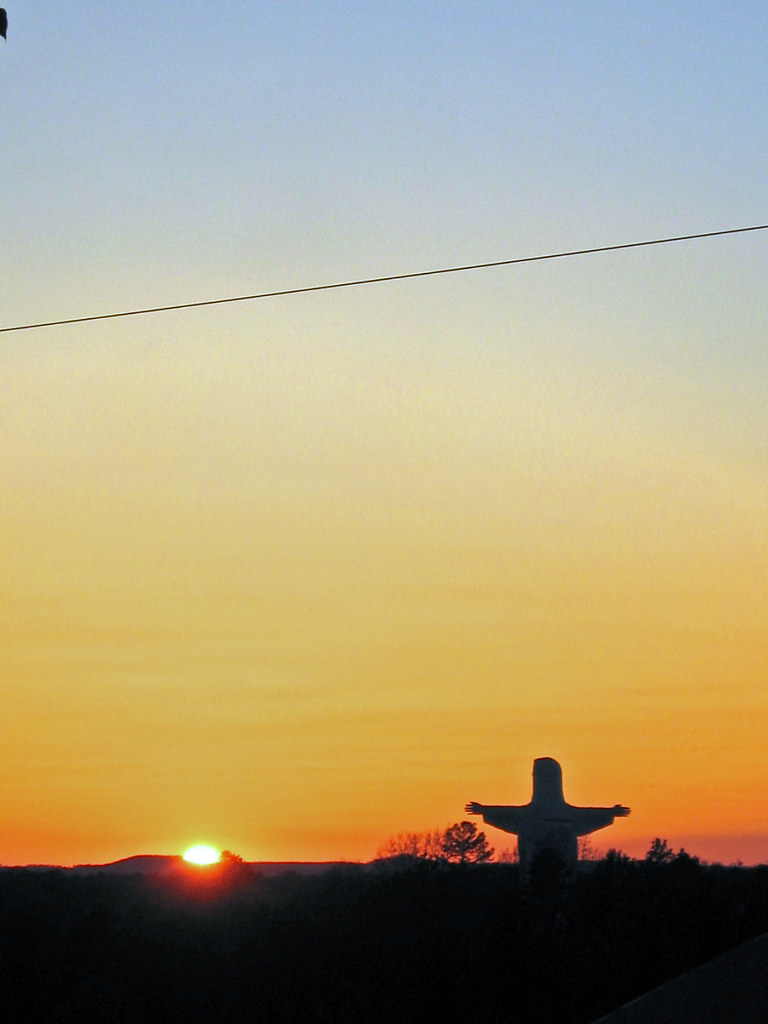
Jesus with sunset
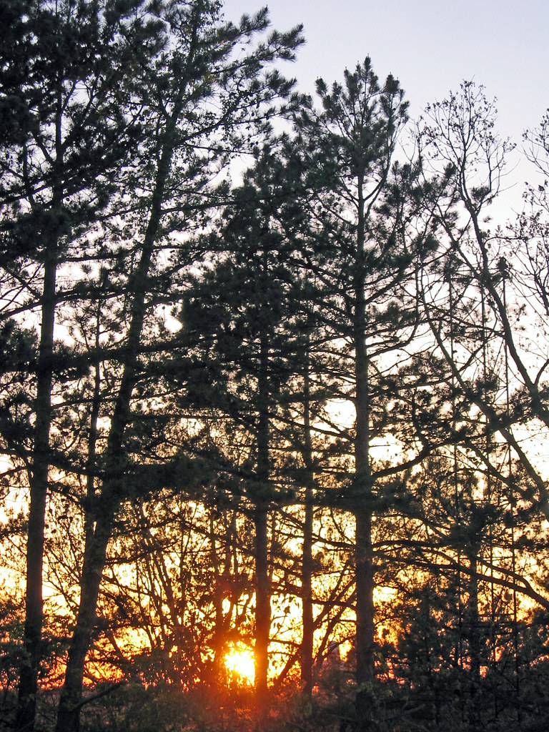
Sunset through trees
2011-Fall_BMT-_17
2011-Fall_BMT-_12
2011-Fall_BMT-_19
2011-Fall_BMT-_9
Jesus over looks sunset
Eureka Springs, AR
Eureka Springs, AR
Eureka Springs, AR
County Rd, Eureka Springs, AR アメリカ合衆国SUGAR RIDGE RESORTの地図
別の場所を検索
近所の場所
Honey Creek Rd, Eureka Springs, AR アメリカ合衆国ホニー・クリーク・ロード
Paradise Ln, Eureka Springs, AR アメリカ合衆国
Mundell Rd, Eureka Springs, AR アメリカ合衆国マンデル・ロード
Green Glory Dr, Cedar Township, AR アメリカ合衆国グリーン・グローリー・ドライブ
81 County Rd, Eureka Springs, AR アメリカ合衆国
アメリカ合衆国 アーカンソー州 ビーバー
U.S. 62 west, Eureka Springs, AR アメリカ合衆国Inspiration Point
AR-, Eureka Springs, AR アメリカ合衆国
アメリカ合衆国 アーカンソー州 シダー
US-62, Eureka Springs, AR アメリカ合衆国Thorncrown Chapel
Palisade St, Eureka Springs, AR アメリカ合衆国
アメリカ合衆国 〒 アーカンソー州 ビーバー
3 Pivot Rock Rd, Eureka Springs, AR アメリカ合衆国トール・パインズ・イン
Pivot Rock Rd, Eureka Springs, AR アメリカ合衆国Pivot Rock and Natural Bridge
69 Pleasant Ridge Dr, Holiday Island, AR アメリカ合衆国
74 Pleasant Ridge Dr, Eureka Springs, AR アメリカ合衆国
78 Pleasant Ridge Dr, Eureka Springs, AR アメリカ合衆国
80 Pleasant Ridge Dr, Holiday Island, AR アメリカ合衆国
81 Pleasant Ridge Dr, Holiday Island, AR アメリカ合衆国
1 Woodview Ln, Eureka Springs, AR アメリカ合衆国
最近の検索
- アメリカ合衆国 アラスカ州 レッド・ドッグ・マイン日の出日の入り時間
- Am bhf, Borken, ドイツアム・バーンホーフ日の出日の入り時間
- 4th St E, Sonoma, CA, USA日の出日の入り時間
- Oakland Ave, Williamsport, PA アメリカ合衆国日の出日の入り時間
- Via Roma, Pieranica CR, イタリアローマ通り日の出日の入り時間
- クロアチア 〒 ドゥブロブニク GradClock Tower of Dubrovnik日の出日の入り時間
- アルゼンチン チュブ州 トレリュー日の出日の入り時間
- Hartfords Bluff Cir, Mt Pleasant, SC アメリカ合衆国日の出日の入り時間
- 日本、熊本県熊本市北区日の出日の入り時間
- 中華人民共和国 福州市 平潭県 平潭島日の出日の入り時間