State Rd S-9-46, St Matthews, SC アメリカ合衆国日の出日の入り時間
Location: アメリカ合衆国 > サウス・カロライナ州 > カルフーン > アメリカ合衆国 〒 サウス・カロライナ州 セント・マシューズ >
時間帯:
America/New_York
現地時間:
2025-07-03 03:46:50
経度:
-80.777678
緯度:
33.6648471
今日の日の出時刻:
06:17:36 AM
今日の日の入時刻:
08:37:24 PM
今日の日長:
14h 19m 48s
明日の日の出時刻:
06:18:05 AM
明日の日の入時刻:
08:37:16 PM
明日の日長:
14h 19m 11s
すべて表示する
| 日付 | 日出 | 日没 | 日長 |
|---|---|---|---|
| 2025年01月01日 | 07:27:51 AM | 05:26:36 PM | 9h 58m 45s |
| 2025年01月02日 | 07:28:00 AM | 05:27:22 PM | 9h 59m 22s |
| 2025年01月03日 | 07:28:07 AM | 05:28:09 PM | 10h 0m 2s |
| 2025年01月04日 | 07:28:12 AM | 05:28:58 PM | 10h 0m 46s |
| 2025年01月05日 | 07:28:16 AM | 05:29:47 PM | 10h 1m 31s |
| 2025年01月06日 | 07:28:17 AM | 05:30:37 PM | 10h 2m 20s |
| 2025年01月07日 | 07:28:17 AM | 05:31:29 PM | 10h 3m 12s |
| 2025年01月08日 | 07:28:15 AM | 05:32:20 PM | 10h 4m 5s |
| 2025年01月09日 | 07:28:11 AM | 05:33:13 PM | 10h 5m 2s |
| 2025年01月10日 | 07:28:05 AM | 05:34:06 PM | 10h 6m 1s |
| 2025年01月11日 | 07:27:57 AM | 05:35:00 PM | 10h 7m 3s |
| 2025年01月12日 | 07:27:48 AM | 05:35:55 PM | 10h 8m 7s |
| 2025年01月13日 | 07:27:37 AM | 05:36:50 PM | 10h 9m 13s |
| 2025年01月14日 | 07:27:23 AM | 05:37:45 PM | 10h 10m 22s |
| 2025年01月15日 | 07:27:08 AM | 05:38:42 PM | 10h 11m 34s |
| 2025年01月16日 | 07:26:52 AM | 05:39:38 PM | 10h 12m 46s |
| 2025年01月17日 | 07:26:33 AM | 05:40:35 PM | 10h 14m 2s |
| 2025年01月18日 | 07:26:12 AM | 05:41:32 PM | 10h 15m 20s |
| 2025年01月19日 | 07:25:50 AM | 05:42:30 PM | 10h 16m 40s |
| 2025年01月20日 | 07:25:26 AM | 05:43:28 PM | 10h 18m 2s |
| 2025年01月21日 | 07:25:01 AM | 05:44:26 PM | 10h 19m 25s |
| 2025年01月22日 | 07:24:33 AM | 05:45:24 PM | 10h 20m 51s |
| 2025年01月23日 | 07:24:04 AM | 05:46:22 PM | 10h 22m 18s |
| 2025年01月24日 | 07:23:33 AM | 05:47:21 PM | 10h 23m 48s |
| 2025年01月25日 | 07:23:01 AM | 05:48:19 PM | 10h 25m 18s |
| 2025年01月26日 | 07:22:26 AM | 05:49:18 PM | 10h 26m 52s |
| 2025年01月27日 | 07:21:51 AM | 05:50:16 PM | 10h 28m 25s |
| 2025年01月28日 | 07:21:13 AM | 05:51:15 PM | 10h 30m 2s |
| 2025年01月29日 | 07:20:34 AM | 05:52:13 PM | 10h 31m 39s |
| 2025年01月30日 | 07:19:54 AM | 05:53:12 PM | 10h 33m 18s |
| 2025年01月31日 | 07:19:12 AM | 05:54:10 PM | 10h 34m 58s |
| 2025年02月01日 | 07:18:28 AM | 05:55:08 PM | 10h 36m 40s |
| 2025年02月02日 | 07:17:43 AM | 05:56:07 PM | 10h 38m 24s |
| 2025年02月03日 | 07:16:56 AM | 05:57:04 PM | 10h 40m 8s |
| 2025年02月04日 | 07:16:08 AM | 05:58:02 PM | 10h 41m 54s |
| 2025年02月05日 | 07:15:19 AM | 05:59:00 PM | 10h 43m 41s |
| 2025年02月06日 | 07:14:28 AM | 05:59:57 PM | 10h 45m 29s |
| 2025年02月07日 | 07:13:36 AM | 06:00:54 PM | 10h 47m 18s |
| 2025年02月08日 | 07:12:43 AM | 06:01:51 PM | 10h 49m 8s |
| 2025年02月09日 | 07:11:48 AM | 06:02:47 PM | 10h 50m 59s |
| 2025年02月10日 | 07:10:52 AM | 06:03:44 PM | 10h 52m 52s |
| 2025年02月11日 | 07:09:55 AM | 06:04:40 PM | 10h 54m 45s |
| 2025年02月12日 | 07:08:57 AM | 06:05:35 PM | 10h 56m 38s |
| 2025年02月13日 | 07:07:57 AM | 06:06:31 PM | 10h 58m 34s |
| 2025年02月14日 | 07:06:57 AM | 06:07:26 PM | 11h 0m 29s |
| 2025年02月15日 | 07:05:55 AM | 06:08:20 PM | 11h 2m 25s |
| 2025年02月16日 | 07:04:52 AM | 06:09:14 PM | 11h 4m 22s |
| 2025年02月17日 | 07:03:48 AM | 06:10:08 PM | 11h 6m 20s |
| 2025年02月18日 | 07:02:43 AM | 06:11:02 PM | 11h 8m 19s |
| 2025年02月19日 | 07:01:37 AM | 06:11:55 PM | 11h 10m 18s |
| 2025年02月20日 | 07:00:31 AM | 06:12:48 PM | 11h 12m 17s |
| 2025年02月21日 | 06:59:23 AM | 06:13:41 PM | 11h 14m 18s |
| 2025年02月22日 | 06:58:14 AM | 06:14:33 PM | 11h 16m 19s |
| 2025年02月23日 | 06:57:05 AM | 06:15:25 PM | 11h 18m 20s |
| 2025年02月24日 | 06:55:55 AM | 06:16:17 PM | 11h 20m 22s |
| 2025年02月25日 | 06:54:43 AM | 06:17:08 PM | 11h 22m 25s |
| 2025年02月26日 | 06:53:32 AM | 06:17:59 PM | 11h 24m 27s |
| 2025年02月27日 | 06:52:19 AM | 06:18:49 PM | 11h 26m 30s |
| 2025年02月28日 | 06:51:06 AM | 06:19:39 PM | 11h 28m 33s |
| 2025年03月01日 | 06:49:52 AM | 06:20:29 PM | 11h 30m 37s |
| 2025年03月02日 | 06:48:37 AM | 06:21:19 PM | 11h 32m 42s |
| 2025年03月03日 | 06:47:22 AM | 06:22:08 PM | 11h 34m 46s |
| 2025年03月04日 | 06:46:06 AM | 06:22:57 PM | 11h 36m 51s |
| 2025年03月05日 | 06:44:50 AM | 06:23:45 PM | 11h 38m 55s |
| 2025年03月06日 | 06:43:33 AM | 06:24:34 PM | 11h 41m 1s |
| 2025年03月07日 | 06:42:16 AM | 06:25:22 PM | 11h 43m 6s |
| 2025年03月08日 | 06:40:58 AM | 06:26:10 PM | 11h 45m 12s |
| 2025年03月09日 | 07:39:43 AM | 07:26:55 PM | 11h 47m 12s |
| 2025年03月10日 | 07:38:24 AM | 07:27:42 PM | 11h 49m 18s |
| 2025年03月11日 | 07:37:05 AM | 07:28:29 PM | 11h 51m 24s |
| 2025年03月12日 | 07:35:46 AM | 07:29:16 PM | 11h 53m 30s |
| 2025年03月13日 | 07:34:27 AM | 07:30:03 PM | 11h 55m 36s |
| 2025年03月14日 | 07:33:07 AM | 07:30:49 PM | 11h 57m 42s |
| 2025年03月15日 | 07:31:47 AM | 07:31:35 PM | 11h 59m 48s |
| 2025年03月16日 | 07:30:26 AM | 07:32:21 PM | 12h 1m 55s |
| 2025年03月17日 | 07:29:06 AM | 07:33:07 PM | 12h 4m 1s |
| 2025年03月18日 | 07:27:45 AM | 07:33:53 PM | 12h 6m 8s |
| 2025年03月19日 | 07:26:24 AM | 07:34:38 PM | 12h 8m 14s |
| 2025年03月20日 | 07:25:03 AM | 07:35:24 PM | 12h 10m 21s |
| 2025年03月21日 | 07:23:42 AM | 07:36:09 PM | 12h 12m 27s |
| 2025年03月22日 | 07:22:21 AM | 07:36:54 PM | 12h 14m 33s |
| 2025年03月23日 | 07:21:00 AM | 07:37:39 PM | 12h 16m 39s |
| 2025年03月24日 | 07:19:39 AM | 07:38:24 PM | 12h 18m 45s |
| 2025年03月25日 | 07:18:18 AM | 07:39:09 PM | 12h 20m 51s |
| 2025年03月26日 | 07:16:57 AM | 07:39:53 PM | 12h 22m 56s |
| 2025年03月27日 | 07:15:36 AM | 07:40:38 PM | 12h 25m 2s |
| 2025年03月28日 | 07:14:15 AM | 07:41:23 PM | 12h 27m 8s |
| 2025年03月29日 | 07:12:55 AM | 07:42:07 PM | 12h 29m 12s |
| 2025年03月30日 | 07:11:34 AM | 07:42:52 PM | 12h 31m 18s |
| 2025年03月31日 | 07:10:14 AM | 07:43:36 PM | 12h 33m 22s |
| 2025年04月01日 | 07:08:54 AM | 07:44:21 PM | 12h 35m 27s |
| 2025年04月02日 | 07:07:34 AM | 07:45:05 PM | 12h 37m 31s |
| 2025年04月03日 | 07:06:15 AM | 07:45:50 PM | 12h 39m 35s |
| 2025年04月04日 | 07:04:56 AM | 07:46:35 PM | 12h 41m 39s |
| 2025年04月05日 | 07:03:37 AM | 07:47:19 PM | 12h 43m 42s |
| 2025年04月06日 | 07:02:19 AM | 07:48:04 PM | 12h 45m 45s |
| 2025年04月07日 | 07:01:01 AM | 07:48:48 PM | 12h 47m 47s |
| 2025年04月08日 | 06:59:44 AM | 07:49:33 PM | 12h 49m 49s |
| 2025年04月09日 | 06:58:27 AM | 07:50:18 PM | 12h 51m 51s |
| 2025年04月10日 | 06:57:10 AM | 07:51:03 PM | 12h 53m 53s |
| 2025年04月11日 | 06:55:54 AM | 07:51:47 PM | 12h 55m 53s |
| 2025年04月12日 | 06:54:39 AM | 07:52:32 PM | 12h 57m 53s |
| 2025年04月13日 | 06:53:24 AM | 07:53:17 PM | 12h 59m 53s |
| 2025年04月14日 | 06:52:10 AM | 07:54:02 PM | 13h 1m 52s |
| 2025年04月15日 | 06:50:57 AM | 07:54:48 PM | 13h 3m 51s |
| 2025年04月16日 | 06:49:44 AM | 07:55:33 PM | 13h 5m 49s |
| 2025年04月17日 | 06:48:32 AM | 07:56:18 PM | 13h 7m 46s |
| 2025年04月18日 | 06:47:20 AM | 07:57:04 PM | 13h 9m 44s |
| 2025年04月19日 | 06:46:09 AM | 07:57:49 PM | 13h 11m 40s |
| 2025年04月20日 | 06:45:00 AM | 07:58:35 PM | 13h 13m 35s |
| 2025年04月21日 | 06:43:51 AM | 07:59:20 PM | 13h 15m 29s |
| 2025年04月22日 | 06:42:42 AM | 08:00:06 PM | 13h 17m 24s |
| 2025年04月23日 | 06:41:35 AM | 08:00:52 PM | 13h 19m 17s |
| 2025年04月24日 | 06:40:28 AM | 08:01:37 PM | 13h 21m 9s |
| 2025年04月25日 | 06:39:23 AM | 08:02:23 PM | 13h 23m 0s |
| 2025年04月26日 | 06:38:18 AM | 08:03:09 PM | 13h 24m 51s |
| 2025年04月27日 | 06:37:15 AM | 08:03:55 PM | 13h 26m 40s |
| 2025年04月28日 | 06:36:12 AM | 08:04:41 PM | 13h 28m 29s |
| 2025年04月29日 | 06:35:10 AM | 08:05:27 PM | 13h 30m 17s |
| 2025年04月30日 | 06:34:10 AM | 08:06:13 PM | 13h 32m 3s |
| 2025年05月01日 | 06:33:10 AM | 08:06:59 PM | 13h 33m 49s |
| 2025年05月02日 | 06:32:12 AM | 08:07:45 PM | 13h 35m 33s |
| 2025年05月03日 | 06:31:15 AM | 08:08:31 PM | 13h 37m 16s |
| 2025年05月04日 | 06:30:18 AM | 08:09:17 PM | 13h 38m 59s |
| 2025年05月05日 | 06:29:24 AM | 08:10:03 PM | 13h 40m 39s |
| 2025年05月06日 | 06:28:30 AM | 08:10:49 PM | 13h 42m 19s |
| 2025年05月07日 | 06:27:37 AM | 08:11:35 PM | 13h 43m 58s |
| 2025年05月08日 | 06:26:46 AM | 08:12:20 PM | 13h 45m 34s |
| 2025年05月09日 | 06:25:56 AM | 08:13:06 PM | 13h 47m 10s |
| 2025年05月10日 | 06:25:07 AM | 08:13:51 PM | 13h 48m 44s |
| 2025年05月11日 | 06:24:20 AM | 08:14:36 PM | 13h 50m 16s |
| 2025年05月12日 | 06:23:34 AM | 08:15:21 PM | 13h 51m 47s |
| 2025年05月13日 | 06:22:49 AM | 08:16:06 PM | 13h 53m 17s |
| 2025年05月14日 | 06:22:06 AM | 08:16:50 PM | 13h 54m 44s |
| 2025年05月15日 | 06:21:24 AM | 08:17:34 PM | 13h 56m 10s |
| 2025年05月16日 | 06:20:44 AM | 08:18:18 PM | 13h 57m 34s |
| 2025年05月17日 | 06:20:05 AM | 08:19:02 PM | 13h 58m 57s |
| 2025年05月18日 | 06:19:27 AM | 08:19:45 PM | 14h 0m 18s |
| 2025年05月19日 | 06:18:51 AM | 08:20:28 PM | 14h 1m 37s |
| 2025年05月20日 | 06:18:16 AM | 08:21:11 PM | 14h 2m 55s |
| 2025年05月21日 | 06:17:43 AM | 08:21:53 PM | 14h 4m 10s |
| 2025年05月22日 | 06:17:12 AM | 08:22:34 PM | 14h 5m 22s |
| 2025年05月23日 | 06:16:42 AM | 08:23:15 PM | 14h 6m 33s |
| 2025年05月24日 | 06:16:13 AM | 08:23:56 PM | 14h 7m 43s |
| 2025年05月25日 | 06:15:46 AM | 08:24:36 PM | 14h 8m 50s |
| 2025年05月26日 | 06:15:21 AM | 08:25:15 PM | 14h 9m 54s |
| 2025年05月27日 | 06:14:57 AM | 08:25:54 PM | 14h 10m 57s |
| 2025年05月28日 | 06:14:34 AM | 08:26:32 PM | 14h 11m 58s |
| 2025年05月29日 | 06:14:14 AM | 08:27:09 PM | 14h 12m 55s |
| 2025年05月30日 | 06:13:55 AM | 08:27:46 PM | 14h 13m 51s |
| 2025年05月31日 | 06:13:37 AM | 08:28:22 PM | 14h 14m 45s |
| 2025年06月01日 | 06:13:21 AM | 08:28:57 PM | 14h 15m 36s |
| 2025年06月02日 | 06:13:07 AM | 08:29:31 PM | 14h 16m 24s |
| 2025年06月03日 | 06:12:54 AM | 08:30:04 PM | 14h 17m 10s |
| 2025年06月04日 | 06:12:42 AM | 08:30:36 PM | 14h 17m 54s |
| 2025年06月05日 | 06:12:33 AM | 08:31:08 PM | 14h 18m 35s |
| 2025年06月06日 | 06:12:25 AM | 08:31:38 PM | 14h 19m 13s |
| 2025年06月07日 | 06:12:18 AM | 08:32:08 PM | 14h 19m 50s |
| 2025年06月08日 | 06:12:13 AM | 08:32:36 PM | 14h 20m 23s |
| 2025年06月09日 | 06:12:10 AM | 08:33:03 PM | 14h 20m 53s |
| 2025年06月10日 | 06:12:08 AM | 08:33:30 PM | 14h 21m 22s |
| 2025年06月11日 | 06:12:08 AM | 08:33:55 PM | 14h 21m 47s |
| 2025年06月12日 | 06:12:09 AM | 08:34:19 PM | 14h 22m 10s |
| 2025年06月13日 | 06:12:12 AM | 08:34:41 PM | 14h 22m 29s |
| 2025年06月14日 | 06:12:16 AM | 08:35:03 PM | 14h 22m 47s |
| 2025年06月15日 | 06:12:22 AM | 08:35:23 PM | 14h 23m 1s |
| 2025年06月16日 | 06:12:29 AM | 08:35:42 PM | 14h 23m 13s |
| 2025年06月17日 | 06:12:37 AM | 08:35:59 PM | 14h 23m 22s |
| 2025年06月18日 | 06:12:47 AM | 08:36:15 PM | 14h 23m 28s |
| 2025年06月19日 | 06:12:59 AM | 08:36:30 PM | 14h 23m 31s |
| 2025年06月20日 | 06:13:12 AM | 08:36:43 PM | 14h 23m 31s |
| 2025年06月21日 | 06:13:26 AM | 08:36:55 PM | 14h 23m 29s |
| 2025年06月22日 | 06:13:41 AM | 08:37:06 PM | 14h 23m 25s |
| 2025年06月23日 | 06:13:58 AM | 08:37:15 PM | 14h 23m 17s |
| 2025年06月24日 | 06:14:16 AM | 08:37:22 PM | 14h 23m 6s |
| 2025年06月25日 | 06:14:35 AM | 08:37:28 PM | 14h 22m 53s |
| 2025年06月26日 | 06:14:56 AM | 08:37:33 PM | 14h 22m 37s |
| 2025年06月27日 | 06:15:17 AM | 08:37:36 PM | 14h 22m 19s |
| 2025年06月28日 | 06:15:40 AM | 08:37:37 PM | 14h 21m 57s |
| 2025年06月29日 | 06:16:04 AM | 08:37:37 PM | 14h 21m 33s |
| 2025年06月30日 | 06:16:29 AM | 08:37:35 PM | 14h 21m 6s |
| 2025年07月01日 | 06:16:55 AM | 08:37:32 PM | 14h 20m 37s |
| 2025年07月02日 | 06:17:22 AM | 08:37:27 PM | 14h 20m 5s |
| 2025年07月03日 | 06:17:51 AM | 08:37:20 PM | 14h 19m 29s |
| 2025年07月04日 | 06:18:20 AM | 08:37:12 PM | 14h 18m 52s |
| 2025年07月05日 | 06:18:50 AM | 08:37:02 PM | 14h 18m 12s |
| 2025年07月06日 | 06:19:20 AM | 08:36:51 PM | 14h 17m 31s |
| 2025年07月07日 | 06:19:52 AM | 08:36:38 PM | 14h 16m 46s |
| 2025年07月08日 | 06:20:25 AM | 08:36:23 PM | 14h 15m 58s |
| 2025年07月09日 | 06:20:58 AM | 08:36:07 PM | 14h 15m 9s |
| 2025年07月10日 | 06:21:32 AM | 08:35:49 PM | 14h 14m 17s |
| 2025年07月11日 | 06:22:07 AM | 08:35:29 PM | 14h 13m 22s |
| 2025年07月12日 | 06:22:42 AM | 08:35:08 PM | 14h 12m 26s |
| 2025年07月13日 | 06:23:19 AM | 08:34:45 PM | 14h 11m 26s |
| 2025年07月14日 | 06:23:55 AM | 08:34:21 PM | 14h 10m 26s |
| 2025年07月15日 | 06:24:33 AM | 08:33:55 PM | 14h 9m 22s |
| 2025年07月16日 | 06:25:10 AM | 08:33:27 PM | 14h 8m 17s |
| 2025年07月17日 | 06:25:49 AM | 08:32:58 PM | 14h 7m 9s |
| 2025年07月18日 | 06:26:28 AM | 08:32:27 PM | 14h 5m 59s |
| 2025年07月19日 | 06:27:07 AM | 08:31:55 PM | 14h 4m 48s |
| 2025年07月20日 | 06:27:47 AM | 08:31:21 PM | 14h 3m 34s |
| 2025年07月21日 | 06:28:27 AM | 08:30:46 PM | 14h 2m 19s |
| 2025年07月22日 | 06:29:07 AM | 08:30:09 PM | 14h 1m 2s |
| 2025年07月23日 | 06:29:48 AM | 08:29:30 PM | 13h 59m 42s |
| 2025年07月24日 | 06:30:29 AM | 08:28:51 PM | 13h 58m 22s |
| 2025年07月25日 | 06:31:10 AM | 08:28:09 PM | 13h 56m 59s |
| 2025年07月26日 | 06:31:52 AM | 08:27:26 PM | 13h 55m 34s |
| 2025年07月27日 | 06:32:34 AM | 08:26:42 PM | 13h 54m 8s |
| 2025年07月28日 | 06:33:16 AM | 08:25:57 PM | 13h 52m 41s |
| 2025年07月29日 | 06:33:58 AM | 08:25:10 PM | 13h 51m 12s |
| 2025年07月30日 | 06:34:40 AM | 08:24:21 PM | 13h 49m 41s |
| 2025年07月31日 | 06:35:23 AM | 08:23:32 PM | 13h 48m 9s |
| 2025年08月01日 | 06:36:06 AM | 08:22:41 PM | 13h 46m 35s |
| 2025年08月02日 | 06:36:48 AM | 08:21:48 PM | 13h 45m 0s |
| 2025年08月03日 | 06:37:31 AM | 08:20:55 PM | 13h 43m 24s |
| 2025年08月04日 | 06:38:14 AM | 08:20:00 PM | 13h 41m 46s |
| 2025年08月05日 | 06:38:56 AM | 08:19:04 PM | 13h 40m 8s |
| 2025年08月06日 | 06:39:39 AM | 08:18:07 PM | 13h 38m 28s |
| 2025年08月07日 | 06:40:22 AM | 08:17:08 PM | 13h 36m 46s |
| 2025年08月08日 | 06:41:05 AM | 08:16:08 PM | 13h 35m 3s |
| 2025年08月09日 | 06:41:48 AM | 08:15:08 PM | 13h 33m 20s |
| 2025年08月10日 | 06:42:30 AM | 08:14:06 PM | 13h 31m 36s |
| 2025年08月11日 | 06:43:13 AM | 08:13:03 PM | 13h 29m 50s |
| 2025年08月12日 | 06:43:56 AM | 08:11:59 PM | 13h 28m 3s |
| 2025年08月13日 | 06:44:38 AM | 08:10:54 PM | 13h 26m 16s |
| 2025年08月14日 | 06:45:21 AM | 08:09:48 PM | 13h 24m 27s |
| 2025年08月15日 | 06:46:03 AM | 08:08:41 PM | 13h 22m 38s |
| 2025年08月16日 | 06:46:46 AM | 08:07:33 PM | 13h 20m 47s |
| 2025年08月17日 | 06:47:28 AM | 08:06:24 PM | 13h 18m 56s |
| 2025年08月18日 | 06:48:10 AM | 08:05:15 PM | 13h 17m 5s |
| 2025年08月19日 | 06:48:52 AM | 08:04:04 PM | 13h 15m 12s |
| 2025年08月20日 | 06:49:34 AM | 08:02:53 PM | 13h 13m 19s |
| 2025年08月21日 | 06:50:16 AM | 08:01:40 PM | 13h 11m 24s |
| 2025年08月22日 | 06:50:57 AM | 08:00:28 PM | 13h 9m 31s |
| 2025年08月23日 | 06:51:39 AM | 07:59:14 PM | 13h 7m 35s |
| 2025年08月24日 | 06:52:20 AM | 07:57:59 PM | 13h 5m 39s |
| 2025年08月25日 | 06:53:02 AM | 07:56:44 PM | 13h 3m 42s |
| 2025年08月26日 | 06:53:43 AM | 07:55:28 PM | 13h 1m 45s |
| 2025年08月27日 | 06:54:24 AM | 07:54:12 PM | 12h 59m 48s |
| 2025年08月28日 | 06:55:05 AM | 07:52:55 PM | 12h 57m 50s |
| 2025年08月29日 | 06:55:46 AM | 07:51:37 PM | 12h 55m 51s |
| 2025年08月30日 | 06:56:27 AM | 07:50:19 PM | 12h 53m 52s |
| 2025年08月31日 | 06:57:08 AM | 07:49:00 PM | 12h 51m 52s |
| 2025年09月01日 | 06:57:48 AM | 07:47:41 PM | 12h 49m 53s |
| 2025年09月02日 | 06:58:29 AM | 07:46:21 PM | 12h 47m 52s |
| 2025年09月03日 | 06:59:09 AM | 07:45:01 PM | 12h 45m 52s |
| 2025年09月04日 | 06:59:50 AM | 07:43:40 PM | 12h 43m 50s |
| 2025年09月05日 | 07:00:30 AM | 07:42:19 PM | 12h 41m 49s |
| 2025年09月06日 | 07:01:11 AM | 07:40:58 PM | 12h 39m 47s |
| 2025年09月07日 | 07:01:51 AM | 07:39:36 PM | 12h 37m 45s |
| 2025年09月08日 | 07:02:31 AM | 07:38:14 PM | 12h 35m 43s |
| 2025年09月09日 | 07:03:12 AM | 07:36:52 PM | 12h 33m 40s |
| 2025年09月10日 | 07:03:52 AM | 07:35:30 PM | 12h 31m 38s |
| 2025年09月11日 | 07:04:32 AM | 07:34:07 PM | 12h 29m 35s |
| 2025年09月12日 | 07:05:13 AM | 07:32:44 PM | 12h 27m 31s |
| 2025年09月13日 | 07:05:53 AM | 07:31:21 PM | 12h 25m 28s |
| 2025年09月14日 | 07:06:33 AM | 07:29:58 PM | 12h 23m 25s |
| 2025年09月15日 | 07:07:14 AM | 07:28:34 PM | 12h 21m 20s |
| 2025年09月16日 | 07:07:54 AM | 07:27:11 PM | 12h 19m 17s |
| 2025年09月17日 | 07:08:35 AM | 07:25:48 PM | 12h 17m 13s |
| 2025年09月18日 | 07:09:15 AM | 07:24:24 PM | 12h 15m 9s |
| 2025年09月19日 | 07:09:56 AM | 07:23:01 PM | 12h 13m 5s |
| 2025年09月20日 | 07:10:37 AM | 07:21:37 PM | 12h 11m 0s |
| 2025年09月21日 | 07:11:18 AM | 07:20:14 PM | 12h 8m 56s |
| 2025年09月22日 | 07:11:59 AM | 07:18:51 PM | 12h 6m 52s |
| 2025年09月23日 | 07:12:40 AM | 07:17:27 PM | 12h 4m 47s |
| 2025年09月24日 | 07:13:22 AM | 07:16:04 PM | 12h 2m 42s |
| 2025年09月25日 | 07:14:03 AM | 07:14:42 PM | 12h 0m 39s |
| 2025年09月26日 | 07:14:45 AM | 07:13:19 PM | 11h 58m 34s |
| 2025年09月27日 | 07:15:27 AM | 07:11:57 PM | 11h 56m 30s |
| 2025年09月28日 | 07:16:09 AM | 07:10:34 PM | 11h 54m 25s |
| 2025年09月29日 | 07:16:52 AM | 07:09:13 PM | 11h 52m 21s |
| 2025年09月30日 | 07:17:34 AM | 07:07:51 PM | 11h 50m 17s |
| 2025年10月01日 | 07:18:17 AM | 07:06:30 PM | 11h 48m 13s |
| 2025年10月02日 | 07:19:00 AM | 07:05:09 PM | 11h 46m 9s |
| 2025年10月03日 | 07:19:44 AM | 07:03:49 PM | 11h 44m 5s |
| 2025年10月04日 | 07:20:27 AM | 07:02:29 PM | 11h 42m 2s |
| 2025年10月05日 | 07:21:11 AM | 07:01:09 PM | 11h 39m 58s |
| 2025年10月06日 | 07:21:56 AM | 06:59:50 PM | 11h 37m 54s |
| 2025年10月07日 | 07:22:40 AM | 06:58:32 PM | 11h 35m 52s |
| 2025年10月08日 | 07:23:25 AM | 06:57:14 PM | 11h 33m 49s |
| 2025年10月09日 | 07:24:10 AM | 06:55:57 PM | 11h 31m 47s |
| 2025年10月10日 | 07:24:56 AM | 06:54:40 PM | 11h 29m 44s |
| 2025年10月11日 | 07:25:41 AM | 06:53:24 PM | 11h 27m 43s |
| 2025年10月12日 | 07:26:28 AM | 06:52:09 PM | 11h 25m 41s |
| 2025年10月13日 | 07:27:14 AM | 06:50:54 PM | 11h 23m 40s |
| 2025年10月14日 | 07:28:01 AM | 06:49:40 PM | 11h 21m 39s |
| 2025年10月15日 | 07:28:48 AM | 06:48:27 PM | 11h 19m 39s |
| 2025年10月16日 | 07:29:36 AM | 06:47:15 PM | 11h 17m 39s |
| 2025年10月17日 | 07:30:24 AM | 06:46:03 PM | 11h 15m 39s |
| 2025年10月18日 | 07:31:12 AM | 06:44:53 PM | 11h 13m 41s |
| 2025年10月19日 | 07:32:01 AM | 06:43:43 PM | 11h 11m 42s |
| 2025年10月20日 | 07:32:50 AM | 06:42:34 PM | 11h 9m 44s |
| 2025年10月21日 | 07:33:40 AM | 06:41:26 PM | 11h 7m 46s |
| 2025年10月22日 | 07:34:30 AM | 06:40:19 PM | 11h 5m 49s |
| 2025年10月23日 | 07:35:20 AM | 06:39:13 PM | 11h 3m 53s |
| 2025年10月24日 | 07:36:10 AM | 06:38:09 PM | 11h 1m 59s |
| 2025年10月25日 | 07:37:01 AM | 06:37:05 PM | 11h 0m 4s |
| 2025年10月26日 | 07:37:53 AM | 06:36:02 PM | 10h 58m 9s |
| 2025年10月27日 | 07:38:45 AM | 06:35:01 PM | 10h 56m 16s |
| 2025年10月28日 | 07:39:37 AM | 06:34:00 PM | 10h 54m 23s |
| 2025年10月29日 | 07:40:29 AM | 06:33:01 PM | 10h 52m 32s |
| 2025年10月30日 | 07:41:22 AM | 06:32:03 PM | 10h 50m 41s |
| 2025年10月31日 | 07:42:15 AM | 06:31:07 PM | 10h 48m 52s |
| 2025年11月01日 | 07:43:08 AM | 06:30:11 PM | 10h 47m 3s |
| 2025年11月02日 | 06:44:04 AM | 05:29:15 PM | 10h 45m 11s |
| 2025年11月03日 | 06:44:58 AM | 05:28:22 PM | 10h 43m 24s |
| 2025年11月04日 | 06:45:52 AM | 05:27:31 PM | 10h 41m 39s |
| 2025年11月05日 | 06:46:47 AM | 05:26:41 PM | 10h 39m 54s |
| 2025年11月06日 | 06:47:42 AM | 05:25:53 PM | 10h 38m 11s |
| 2025年11月07日 | 06:48:37 AM | 05:25:06 PM | 10h 36m 29s |
| 2025年11月08日 | 06:49:32 AM | 05:24:21 PM | 10h 34m 49s |
| 2025年11月09日 | 06:50:27 AM | 05:23:37 PM | 10h 33m 10s |
| 2025年11月10日 | 06:51:23 AM | 05:22:54 PM | 10h 31m 31s |
| 2025年11月11日 | 06:52:18 AM | 05:22:13 PM | 10h 29m 55s |
| 2025年11月12日 | 06:53:14 AM | 05:21:34 PM | 10h 28m 20s |
| 2025年11月13日 | 06:54:10 AM | 05:20:57 PM | 10h 26m 47s |
| 2025年11月14日 | 06:55:06 AM | 05:20:21 PM | 10h 25m 15s |
| 2025年11月15日 | 06:56:02 AM | 05:19:46 PM | 10h 23m 44s |
| 2025年11月16日 | 06:56:58 AM | 05:19:14 PM | 10h 22m 16s |
| 2025年11月17日 | 06:57:53 AM | 05:18:43 PM | 10h 20m 50s |
| 2025年11月18日 | 06:58:49 AM | 05:18:14 PM | 10h 19m 25s |
| 2025年11月19日 | 06:59:45 AM | 05:17:46 PM | 10h 18m 1s |
| 2025年11月20日 | 07:00:40 AM | 05:17:21 PM | 10h 16m 41s |
| 2025年11月21日 | 07:01:36 AM | 05:16:57 PM | 10h 15m 21s |
| 2025年11月22日 | 07:02:31 AM | 05:16:35 PM | 10h 14m 4s |
| 2025年11月23日 | 07:03:25 AM | 05:16:14 PM | 10h 12m 49s |
| 2025年11月24日 | 07:04:20 AM | 05:15:56 PM | 10h 11m 36s |
| 2025年11月25日 | 07:05:14 AM | 05:15:39 PM | 10h 10m 25s |
| 2025年11月26日 | 07:06:08 AM | 05:15:25 PM | 10h 9m 17s |
| 2025年11月27日 | 07:07:01 AM | 05:15:12 PM | 10h 8m 11s |
| 2025年11月28日 | 07:07:54 AM | 05:15:01 PM | 10h 7m 7s |
| 2025年11月29日 | 07:08:46 AM | 05:14:52 PM | 10h 6m 6s |
| 2025年11月30日 | 07:09:38 AM | 05:14:45 PM | 10h 5m 7s |
| 2025年12月01日 | 07:10:29 AM | 05:14:39 PM | 10h 4m 10s |
| 2025年12月02日 | 07:11:20 AM | 05:14:36 PM | 10h 3m 16s |
| 2025年12月03日 | 07:12:09 AM | 05:14:34 PM | 10h 2m 25s |
| 2025年12月04日 | 07:12:58 AM | 05:14:35 PM | 10h 1m 37s |
| 2025年12月05日 | 07:13:47 AM | 05:14:37 PM | 10h 0m 50s |
| 2025年12月06日 | 07:14:34 AM | 05:14:41 PM | 10h 0m 7s |
| 2025年12月07日 | 07:15:21 AM | 05:14:47 PM | 9h 59m 26s |
| 2025年12月08日 | 07:16:06 AM | 05:14:55 PM | 9h 58m 49s |
| 2025年12月09日 | 07:16:51 AM | 05:15:04 PM | 9h 58m 13s |
| 2025年12月10日 | 07:17:34 AM | 05:15:16 PM | 9h 57m 42s |
| 2025年12月11日 | 07:18:17 AM | 05:15:29 PM | 9h 57m 12s |
| 2025年12月12日 | 07:18:58 AM | 05:15:44 PM | 9h 56m 46s |
| 2025年12月13日 | 07:19:38 AM | 05:16:01 PM | 9h 56m 23s |
| 2025年12月14日 | 07:20:17 AM | 05:16:20 PM | 9h 56m 3s |
| 2025年12月15日 | 07:20:55 AM | 05:16:40 PM | 9h 55m 45s |
| 2025年12月16日 | 07:21:31 AM | 05:17:02 PM | 9h 55m 31s |
| 2025年12月17日 | 07:22:06 AM | 05:17:26 PM | 9h 55m 20s |
| 2025年12月18日 | 07:22:40 AM | 05:17:52 PM | 9h 55m 12s |
| 2025年12月19日 | 07:23:12 AM | 05:18:19 PM | 9h 55m 7s |
| 2025年12月20日 | 07:23:43 AM | 05:18:48 PM | 9h 55m 5s |
| 2025年12月21日 | 07:24:13 AM | 05:19:18 PM | 9h 55m 5s |
| 2025年12月22日 | 07:24:40 AM | 05:19:50 PM | 9h 55m 10s |
| 2025年12月23日 | 07:25:07 AM | 05:20:23 PM | 9h 55m 16s |
| 2025年12月24日 | 07:25:31 AM | 05:20:58 PM | 9h 55m 27s |
| 2025年12月25日 | 07:25:54 AM | 05:21:34 PM | 9h 55m 40s |
| 2025年12月26日 | 07:26:16 AM | 05:22:12 PM | 9h 55m 56s |
| 2025年12月27日 | 07:26:36 AM | 05:22:51 PM | 9h 56m 15s |
| 2025年12月28日 | 07:26:54 AM | 05:23:31 PM | 9h 56m 37s |
| 2025年12月29日 | 07:27:10 AM | 05:24:13 PM | 9h 57m 3s |
| 2025年12月30日 | 07:27:25 AM | 05:24:55 PM | 9h 57m 30s |
| 2025年12月31日 | 07:27:38 AM | 05:25:39 PM | 9h 58m 1s |
写真

Road trip

SCE&G Wateree Station
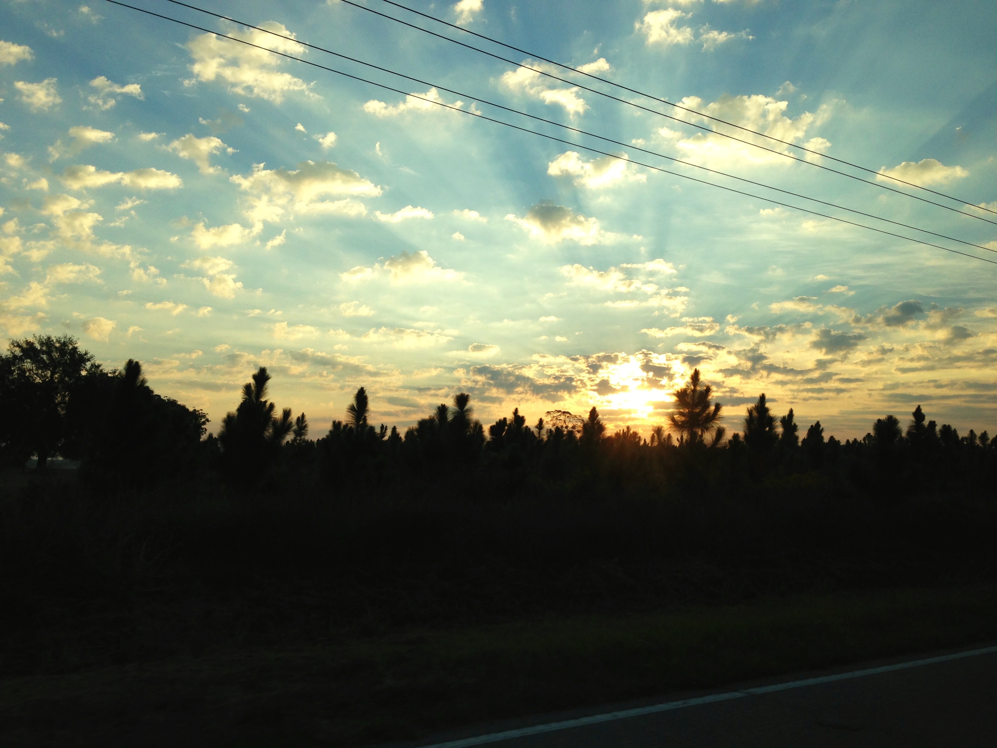
SC Sunrise

Sunrise at Ferguson Landing

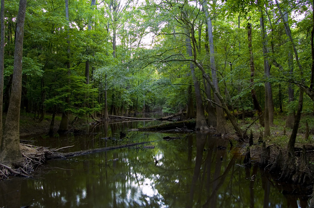
Congaree National Park 3
Congaree National Park 2
At the education center
MVC-013F.JPG
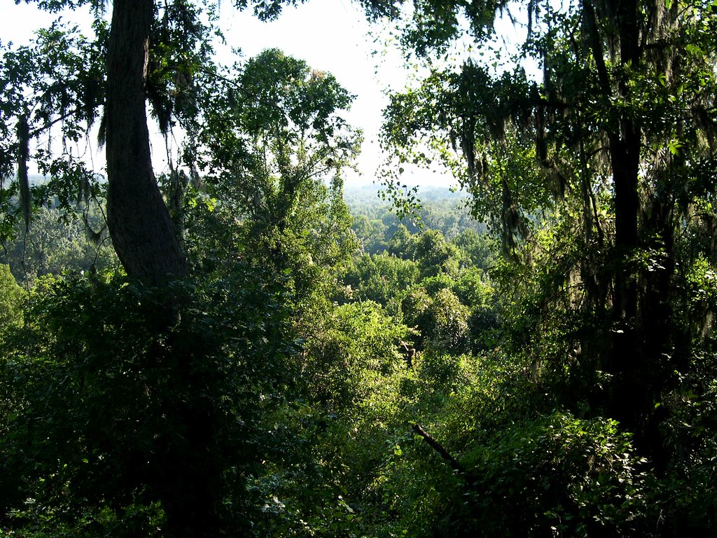
Congaree bluff view
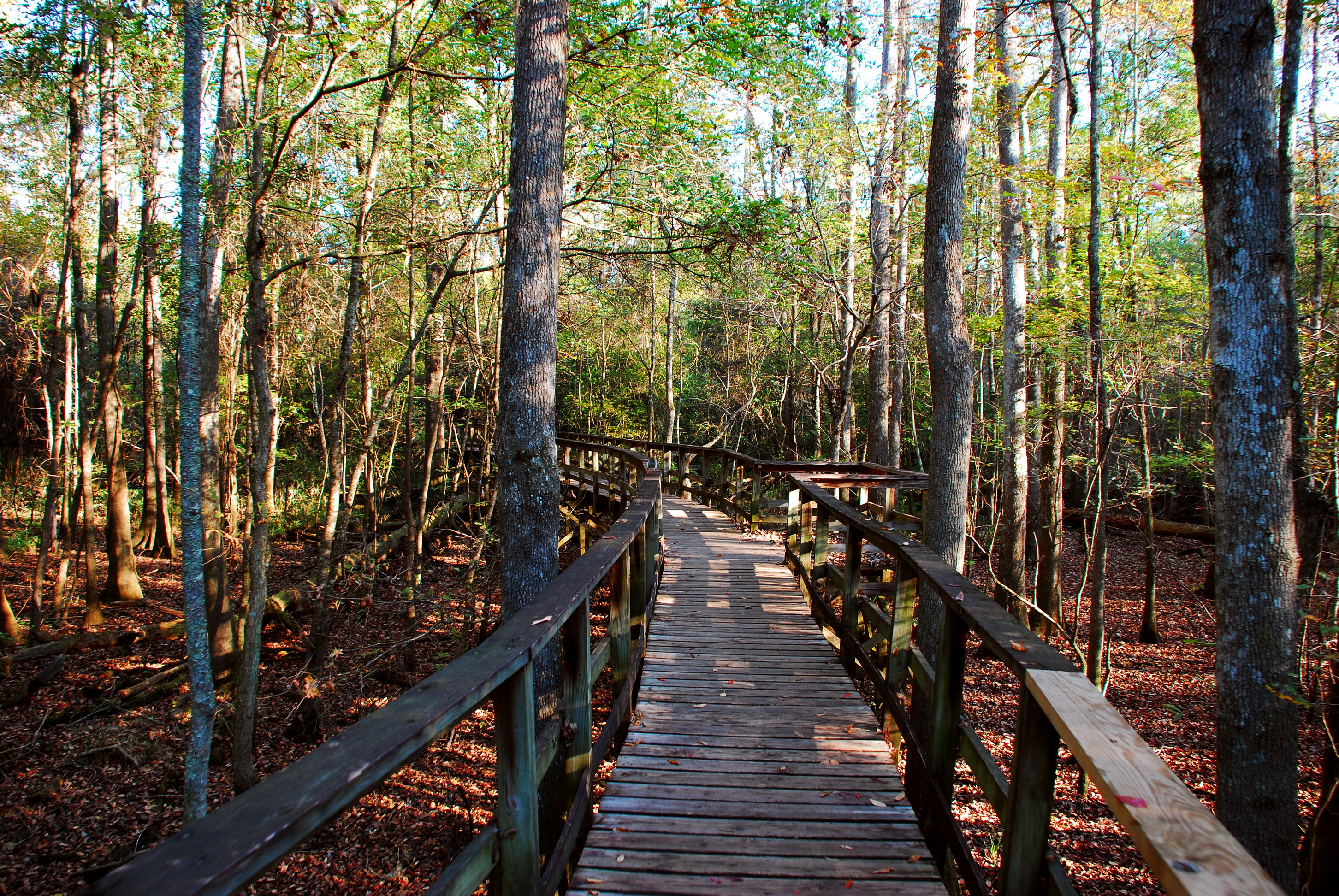
Oakridge Trail-Congaree National Park

A view of Columbia, from 22 miles away.
State Rd S-9-46, St Matthews, SC アメリカ合衆国の地図
別の場所を検索
近所の場所
アメリカ合衆国 〒 サウス・カロライナ州 セント・マシューズ
Dantzler St, St Matthews, SC アメリカ合衆国
アメリカ合衆国 サウス・カロライナ州 カルフーン
Langley Rd, Orangeburg, SC アメリカ合衆国
Endicott Ct, Orangeburg, SC アメリカ合衆国Orangeburg County Landfill
Town Square St, St Matthews, SC アメリカ合衆国
アメリカ合衆国 〒 サウス・カロライナ州 キャメロン
Rosehaven Ln, Orangeburg, SC アメリカ合衆国
Greenwood Ave NE, Orangeburg, SC アメリカ合衆国
Landing Way, South Carolina アメリカ合衆国ランディング・ウェイ
1 Oc, Orangeburg, SC アメリカ合衆国
アメリカ合衆国 サウス・カロライナ州 オレンジバーグ
Broad St, Orangeburg, SC アメリカ合衆国ブロード・ストリート
Midway Rd, Elloree, SC アメリカ合衆国
Cherokee St SW, Orangeburg, SC アメリカ合衆国
アメリカ合衆国 〒 サウス・カロライナ州 エディスト
アメリカ合衆国 〒 サウス・カロライナ州 エロリー
Pandanus Rd, Orangeburg, SC アメリカ合衆国
Old Number Six Hwy, Elloree, SC アメリカ合衆国
アメリカ合衆国 サウス・カロライナ州 オレンジバーグ
最近の検索
- アメリカ合衆国 アラスカ州 レッド・ドッグ・マイン日の出日の入り時間
- Am bhf, Borken, ドイツアム・バーンホーフ日の出日の入り時間
- 4th St E, Sonoma, CA, USA日の出日の入り時間
- Oakland Ave, Williamsport, PA アメリカ合衆国日の出日の入り時間
- Via Roma, Pieranica CR, イタリアローマ通り日の出日の入り時間
- クロアチア 〒 ドゥブロブニク GradClock Tower of Dubrovnik日の出日の入り時間
- アルゼンチン チュブ州 トレリュー日の出日の入り時間
- Hartfords Bluff Cir, Mt Pleasant, SC アメリカ合衆国日の出日の入り時間
- 日本、熊本県熊本市北区日の出日の入り時間
- 中華人民共和国 福州市 平潭県 平潭島日の出日の入り時間