カナダ 〒P0A オンタリオ スプルースデール日の出日の入り時間
Location: カナダ > オンタリオ > パリー・サウンド > カナダ オンタリオ マクマリック / モンティース >
時間帯:
America/Toronto
現地時間:
2025-07-07 14:17:25
経度:
-79.462266
緯度:
45.490145
今日の日の出時刻:
05:38:20 AM
今日の日の入時刻:
09:07:47 PM
今日の日長:
15h 29m 27s
明日の日の出時刻:
05:39:08 AM
明日の日の入時刻:
09:07:17 PM
明日の日長:
15h 28m 9s
すべて表示する
| 日付 | 日出 | 日没 | 日長 |
|---|---|---|---|
| 2025年01月01日 | 07:57:46 AM | 04:46:09 PM | 8h 48m 23s |
| 2025年01月02日 | 07:57:43 AM | 04:47:07 PM | 8h 49m 24s |
| 2025年01月03日 | 07:57:38 AM | 04:48:07 PM | 8h 50m 29s |
| 2025年01月04日 | 07:57:30 AM | 04:49:09 PM | 8h 51m 39s |
| 2025年01月05日 | 07:57:19 AM | 04:50:12 PM | 8h 52m 53s |
| 2025年01月06日 | 07:57:06 AM | 04:51:17 PM | 8h 54m 11s |
| 2025年01月07日 | 07:56:50 AM | 04:52:24 PM | 8h 55m 34s |
| 2025年01月08日 | 07:56:32 AM | 04:53:32 PM | 8h 57m 0s |
| 2025年01月09日 | 07:56:10 AM | 04:54:42 PM | 8h 58m 32s |
| 2025年01月10日 | 07:55:47 AM | 04:55:53 PM | 9h 0m 6s |
| 2025年01月11日 | 07:55:20 AM | 04:57:06 PM | 9h 1m 46s |
| 2025年01月12日 | 07:54:51 AM | 04:58:20 PM | 9h 3m 29s |
| 2025年01月13日 | 07:54:20 AM | 04:59:35 PM | 9h 5m 15s |
| 2025年01月14日 | 07:53:46 AM | 05:00:51 PM | 9h 7m 5s |
| 2025年01月15日 | 07:53:10 AM | 05:02:08 PM | 9h 8m 58s |
| 2025年01月16日 | 07:52:31 AM | 05:03:27 PM | 9h 10m 56s |
| 2025年01月17日 | 07:51:50 AM | 05:04:46 PM | 9h 12m 56s |
| 2025年01月18日 | 07:51:07 AM | 05:06:06 PM | 9h 14m 59s |
| 2025年01月19日 | 07:50:21 AM | 05:07:27 PM | 9h 17m 6s |
| 2025年01月20日 | 07:49:33 AM | 05:08:49 PM | 9h 19m 16s |
| 2025年01月21日 | 07:48:43 AM | 05:10:12 PM | 9h 21m 29s |
| 2025年01月22日 | 07:47:50 AM | 05:11:35 PM | 9h 23m 45s |
| 2025年01月23日 | 07:46:55 AM | 05:12:59 PM | 9h 26m 4s |
| 2025年01月24日 | 07:45:58 AM | 05:14:24 PM | 9h 28m 26s |
| 2025年01月25日 | 07:44:59 AM | 05:15:49 PM | 9h 30m 50s |
| 2025年01月26日 | 07:43:58 AM | 05:17:14 PM | 9h 33m 16s |
| 2025年01月27日 | 07:42:55 AM | 05:18:40 PM | 9h 35m 45s |
| 2025年01月28日 | 07:41:50 AM | 05:20:06 PM | 9h 38m 16s |
| 2025年01月29日 | 07:40:43 AM | 05:21:33 PM | 9h 40m 50s |
| 2025年01月30日 | 07:39:34 AM | 05:23:00 PM | 9h 43m 26s |
| 2025年01月31日 | 07:38:23 AM | 05:24:27 PM | 9h 46m 4s |
| 2025年02月01日 | 07:37:11 AM | 05:25:54 PM | 9h 48m 43s |
| 2025年02月02日 | 07:35:56 AM | 05:27:22 PM | 9h 51m 26s |
| 2025年02月03日 | 07:34:40 AM | 05:28:49 PM | 9h 54m 9s |
| 2025年02月04日 | 07:33:23 AM | 05:30:17 PM | 9h 56m 54s |
| 2025年02月05日 | 07:32:03 AM | 05:31:44 PM | 9h 59m 41s |
| 2025年02月06日 | 07:30:42 AM | 05:33:12 PM | 10h 2m 30s |
| 2025年02月07日 | 07:29:19 AM | 05:34:39 PM | 10h 5m 20s |
| 2025年02月08日 | 07:27:55 AM | 05:36:07 PM | 10h 8m 12s |
| 2025年02月09日 | 07:26:30 AM | 05:37:35 PM | 10h 11m 5s |
| 2025年02月10日 | 07:25:03 AM | 05:39:02 PM | 10h 13m 59s |
| 2025年02月11日 | 07:23:34 AM | 05:40:29 PM | 10h 16m 55s |
| 2025年02月12日 | 07:22:04 AM | 05:41:56 PM | 10h 19m 52s |
| 2025年02月13日 | 07:20:33 AM | 05:43:23 PM | 10h 22m 50s |
| 2025年02月14日 | 07:19:01 AM | 05:44:50 PM | 10h 25m 49s |
| 2025年02月15日 | 07:17:27 AM | 05:46:17 PM | 10h 28m 50s |
| 2025年02月16日 | 07:15:52 AM | 05:47:43 PM | 10h 31m 51s |
| 2025年02月17日 | 07:14:16 AM | 05:49:09 PM | 10h 34m 53s |
| 2025年02月18日 | 07:12:39 AM | 05:50:35 PM | 10h 37m 56s |
| 2025年02月19日 | 07:11:01 AM | 05:52:01 PM | 10h 41m 0s |
| 2025年02月20日 | 07:09:21 AM | 05:53:26 PM | 10h 44m 5s |
| 2025年02月21日 | 07:07:41 AM | 05:54:51 PM | 10h 47m 10s |
| 2025年02月22日 | 07:06:00 AM | 05:56:16 PM | 10h 50m 16s |
| 2025年02月23日 | 07:04:18 AM | 05:57:41 PM | 10h 53m 23s |
| 2025年02月24日 | 07:02:35 AM | 05:59:05 PM | 10h 56m 30s |
| 2025年02月25日 | 07:00:51 AM | 06:00:29 PM | 10h 59m 38s |
| 2025年02月26日 | 06:59:06 AM | 06:01:53 PM | 11h 2m 47s |
| 2025年02月27日 | 06:57:20 AM | 06:03:16 PM | 11h 5m 56s |
| 2025年02月28日 | 06:55:34 AM | 06:04:40 PM | 11h 9m 6s |
| 2025年03月01日 | 06:53:47 AM | 06:06:03 PM | 11h 12m 16s |
| 2025年03月02日 | 06:51:59 AM | 06:07:25 PM | 11h 15m 26s |
| 2025年03月03日 | 06:50:11 AM | 06:08:48 PM | 11h 18m 37s |
| 2025年03月04日 | 06:48:22 AM | 06:10:10 PM | 11h 21m 48s |
| 2025年03月05日 | 06:46:33 AM | 06:11:31 PM | 11h 24m 58s |
| 2025年03月06日 | 06:44:43 AM | 06:12:53 PM | 11h 28m 10s |
| 2025年03月07日 | 06:42:52 AM | 06:14:14 PM | 11h 31m 22s |
| 2025年03月08日 | 06:41:01 AM | 06:15:35 PM | 11h 34m 34s |
| 2025年03月09日 | 07:39:14 AM | 07:16:53 PM | 11h 37m 39s |
| 2025年03月10日 | 07:37:22 AM | 07:18:13 PM | 11h 40m 51s |
| 2025年03月11日 | 07:35:30 AM | 07:19:34 PM | 11h 44m 4s |
| 2025年03月12日 | 07:33:37 AM | 07:20:54 PM | 11h 47m 17s |
| 2025年03月13日 | 07:31:44 AM | 07:22:14 PM | 11h 50m 30s |
| 2025年03月14日 | 07:29:51 AM | 07:23:33 PM | 11h 53m 42s |
| 2025年03月15日 | 07:27:58 AM | 07:24:53 PM | 11h 56m 55s |
| 2025年03月16日 | 07:26:04 AM | 07:26:12 PM | 12h 0m 8s |
| 2025年03月17日 | 07:24:10 AM | 07:27:31 PM | 12h 3m 21s |
| 2025年03月18日 | 07:22:16 AM | 07:28:50 PM | 12h 6m 34s |
| 2025年03月19日 | 07:20:22 AM | 07:30:09 PM | 12h 9m 47s |
| 2025年03月20日 | 07:18:28 AM | 07:31:28 PM | 12h 13m 0s |
| 2025年03月21日 | 07:16:33 AM | 07:32:46 PM | 12h 16m 13s |
| 2025年03月22日 | 07:14:39 AM | 07:34:05 PM | 12h 19m 26s |
| 2025年03月23日 | 07:12:45 AM | 07:35:23 PM | 12h 22m 38s |
| 2025年03月24日 | 07:10:50 AM | 07:36:41 PM | 12h 25m 51s |
| 2025年03月25日 | 07:08:56 AM | 07:37:59 PM | 12h 29m 3s |
| 2025年03月26日 | 07:07:02 AM | 07:39:17 PM | 12h 32m 15s |
| 2025年03月27日 | 07:05:08 AM | 07:40:35 PM | 12h 35m 27s |
| 2025年03月28日 | 07:03:14 AM | 07:41:53 PM | 12h 38m 39s |
| 2025年03月29日 | 07:01:20 AM | 07:43:11 PM | 12h 41m 51s |
| 2025年03月30日 | 06:59:26 AM | 07:44:28 PM | 12h 45m 2s |
| 2025年03月31日 | 06:57:33 AM | 07:45:46 PM | 12h 48m 13s |
| 2025年04月01日 | 06:55:40 AM | 07:47:04 PM | 12h 51m 24s |
| 2025年04月02日 | 06:53:47 AM | 07:48:21 PM | 12h 54m 34s |
| 2025年04月03日 | 06:51:55 AM | 07:49:39 PM | 12h 57m 44s |
| 2025年04月04日 | 06:50:03 AM | 07:50:56 PM | 13h 0m 53s |
| 2025年04月05日 | 06:48:11 AM | 07:52:14 PM | 13h 4m 3s |
| 2025年04月06日 | 06:46:20 AM | 07:53:31 PM | 13h 7m 11s |
| 2025年04月07日 | 06:44:30 AM | 07:54:49 PM | 13h 10m 19s |
| 2025年04月08日 | 06:42:39 AM | 07:56:06 PM | 13h 13m 27s |
| 2025年04月09日 | 06:40:50 AM | 07:57:24 PM | 13h 16m 34s |
| 2025年04月10日 | 06:39:01 AM | 07:58:41 PM | 13h 19m 40s |
| 2025年04月11日 | 06:37:12 AM | 07:59:58 PM | 13h 22m 46s |
| 2025年04月12日 | 06:35:24 AM | 08:01:16 PM | 13h 25m 52s |
| 2025年04月13日 | 06:33:37 AM | 08:02:33 PM | 13h 28m 56s |
| 2025年04月14日 | 06:31:51 AM | 08:03:51 PM | 13h 32m 0s |
| 2025年04月15日 | 06:30:05 AM | 08:05:08 PM | 13h 35m 3s |
| 2025年04月16日 | 06:28:20 AM | 08:06:26 PM | 13h 38m 6s |
| 2025年04月17日 | 06:26:36 AM | 08:07:43 PM | 13h 41m 7s |
| 2025年04月18日 | 06:24:52 AM | 08:09:00 PM | 13h 44m 8s |
| 2025年04月19日 | 06:23:10 AM | 08:10:18 PM | 13h 47m 8s |
| 2025年04月20日 | 06:21:28 AM | 08:11:35 PM | 13h 50m 7s |
| 2025年04月21日 | 06:19:47 AM | 08:12:52 PM | 13h 53m 5s |
| 2025年04月22日 | 06:18:08 AM | 08:14:09 PM | 13h 56m 1s |
| 2025年04月23日 | 06:16:29 AM | 08:15:26 PM | 13h 58m 57s |
| 2025年04月24日 | 06:14:51 AM | 08:16:43 PM | 14h 1m 52s |
| 2025年04月25日 | 06:13:15 AM | 08:18:00 PM | 14h 4m 45s |
| 2025年04月26日 | 06:11:39 AM | 08:19:17 PM | 14h 7m 38s |
| 2025年04月27日 | 06:10:05 AM | 08:20:34 PM | 14h 10m 29s |
| 2025年04月28日 | 06:08:32 AM | 08:21:50 PM | 14h 13m 18s |
| 2025年04月29日 | 06:07:00 AM | 08:23:06 PM | 14h 16m 6s |
| 2025年04月30日 | 06:05:29 AM | 08:24:23 PM | 14h 18m 54s |
| 2025年05月01日 | 06:04:00 AM | 08:25:39 PM | 14h 21m 39s |
| 2025年05月02日 | 06:02:31 AM | 08:26:54 PM | 14h 24m 23s |
| 2025年05月03日 | 06:01:05 AM | 08:28:10 PM | 14h 27m 5s |
| 2025年05月04日 | 05:59:40 AM | 08:29:25 PM | 14h 29m 45s |
| 2025年05月05日 | 05:58:16 AM | 08:30:40 PM | 14h 32m 24s |
| 2025年05月06日 | 05:56:53 AM | 08:31:54 PM | 14h 35m 1s |
| 2025年05月07日 | 05:55:32 AM | 08:33:08 PM | 14h 37m 36s |
| 2025年05月08日 | 05:54:13 AM | 08:34:22 PM | 14h 40m 9s |
| 2025年05月09日 | 05:52:55 AM | 08:35:35 PM | 14h 42m 40s |
| 2025年05月10日 | 05:51:39 AM | 08:36:48 PM | 14h 45m 9s |
| 2025年05月11日 | 05:50:25 AM | 08:38:00 PM | 14h 47m 35s |
| 2025年05月12日 | 05:49:12 AM | 08:39:11 PM | 14h 49m 59s |
| 2025年05月13日 | 05:48:01 AM | 08:40:22 PM | 14h 52m 21s |
| 2025年05月14日 | 05:46:52 AM | 08:41:33 PM | 14h 54m 41s |
| 2025年05月15日 | 05:45:45 AM | 08:42:43 PM | 14h 56m 58s |
| 2025年05月16日 | 05:44:39 AM | 08:43:52 PM | 14h 59m 13s |
| 2025年05月17日 | 05:43:36 AM | 08:45:00 PM | 15h 1m 24s |
| 2025年05月18日 | 05:42:34 AM | 08:46:07 PM | 15h 3m 33s |
| 2025年05月19日 | 05:41:34 AM | 08:47:14 PM | 15h 5m 40s |
| 2025年05月20日 | 05:40:36 AM | 08:48:19 PM | 15h 7m 43s |
| 2025年05月21日 | 05:39:40 AM | 08:49:24 PM | 15h 9m 44s |
| 2025年05月22日 | 05:38:47 AM | 08:50:28 PM | 15h 11m 41s |
| 2025年05月23日 | 05:37:55 AM | 08:51:30 PM | 15h 13m 35s |
| 2025年05月24日 | 05:37:05 AM | 08:52:32 PM | 15h 15m 27s |
| 2025年05月25日 | 05:36:18 AM | 08:53:32 PM | 15h 17m 14s |
| 2025年05月26日 | 05:35:33 AM | 08:54:32 PM | 15h 18m 59s |
| 2025年05月27日 | 05:34:50 AM | 08:55:29 PM | 15h 20m 39s |
| 2025年05月28日 | 05:34:09 AM | 08:56:26 PM | 15h 22m 17s |
| 2025年05月29日 | 05:33:30 AM | 08:57:21 PM | 15h 23m 51s |
| 2025年05月30日 | 05:32:54 AM | 08:58:15 PM | 15h 25m 21s |
| 2025年05月31日 | 05:32:19 AM | 08:59:08 PM | 15h 26m 49s |
| 2025年06月01日 | 05:31:48 AM | 08:59:58 PM | 15h 28m 10s |
| 2025年06月02日 | 05:31:18 AM | 09:00:48 PM | 15h 29m 30s |
| 2025年06月03日 | 05:30:51 AM | 09:01:36 PM | 15h 30m 45s |
| 2025年06月04日 | 05:30:26 AM | 09:02:22 PM | 15h 31m 56s |
| 2025年06月05日 | 05:30:03 AM | 09:03:06 PM | 15h 33m 3s |
| 2025年06月06日 | 05:29:43 AM | 09:03:48 PM | 15h 34m 5s |
| 2025年06月07日 | 05:29:25 AM | 09:04:29 PM | 15h 35m 4s |
| 2025年06月08日 | 05:29:10 AM | 09:05:08 PM | 15h 35m 58s |
| 2025年06月09日 | 05:28:57 AM | 09:05:45 PM | 15h 36m 48s |
| 2025年06月10日 | 05:28:46 AM | 09:06:20 PM | 15h 37m 34s |
| 2025年06月11日 | 05:28:38 AM | 09:06:53 PM | 15h 38m 15s |
| 2025年06月12日 | 05:28:32 AM | 09:07:24 PM | 15h 38m 52s |
| 2025年06月13日 | 05:28:28 AM | 09:07:53 PM | 15h 39m 25s |
| 2025年06月14日 | 05:28:27 AM | 09:08:20 PM | 15h 39m 53s |
| 2025年06月15日 | 05:28:28 AM | 09:08:45 PM | 15h 40m 17s |
| 2025年06月16日 | 05:28:32 AM | 09:09:07 PM | 15h 40m 35s |
| 2025年06月17日 | 05:28:37 AM | 09:09:28 PM | 15h 40m 51s |
| 2025年06月18日 | 05:28:45 AM | 09:09:46 PM | 15h 41m 1s |
| 2025年06月19日 | 05:28:56 AM | 09:10:02 PM | 15h 41m 6s |
| 2025年06月20日 | 05:29:08 AM | 09:10:15 PM | 15h 41m 7s |
| 2025年06月21日 | 05:29:23 AM | 09:10:26 PM | 15h 41m 3s |
| 2025年06月22日 | 05:29:40 AM | 09:10:35 PM | 15h 40m 55s |
| 2025年06月23日 | 05:29:59 AM | 09:10:42 PM | 15h 40m 43s |
| 2025年06月24日 | 05:30:21 AM | 09:10:46 PM | 15h 40m 25s |
| 2025年06月25日 | 05:30:44 AM | 09:10:48 PM | 15h 40m 4s |
| 2025年06月26日 | 05:31:10 AM | 09:10:47 PM | 15h 39m 37s |
| 2025年06月27日 | 05:31:37 AM | 09:10:44 PM | 15h 39m 7s |
| 2025年06月28日 | 05:32:07 AM | 09:10:39 PM | 15h 38m 32s |
| 2025年06月29日 | 05:32:38 AM | 09:10:31 PM | 15h 37m 53s |
| 2025年06月30日 | 05:33:12 AM | 09:10:21 PM | 15h 37m 9s |
| 2025年07月01日 | 05:33:47 AM | 09:10:08 PM | 15h 36m 21s |
| 2025年07月02日 | 05:34:25 AM | 09:09:53 PM | 15h 35m 28s |
| 2025年07月03日 | 05:35:04 AM | 09:09:36 PM | 15h 34m 32s |
| 2025年07月04日 | 05:35:44 AM | 09:09:16 PM | 15h 33m 32s |
| 2025年07月05日 | 05:36:27 AM | 09:08:53 PM | 15h 32m 26s |
| 2025年07月06日 | 05:37:11 AM | 09:08:29 PM | 15h 31m 18s |
| 2025年07月07日 | 05:37:57 AM | 09:08:02 PM | 15h 30m 5s |
| 2025年07月08日 | 05:38:44 AM | 09:07:32 PM | 15h 28m 48s |
| 2025年07月09日 | 05:39:33 AM | 09:07:00 PM | 15h 27m 27s |
| 2025年07月10日 | 05:40:23 AM | 09:06:26 PM | 15h 26m 3s |
| 2025年07月11日 | 05:41:15 AM | 09:05:50 PM | 15h 24m 35s |
| 2025年07月12日 | 05:42:08 AM | 09:05:11 PM | 15h 23m 3s |
| 2025年07月13日 | 05:43:02 AM | 09:04:30 PM | 15h 21m 28s |
| 2025年07月14日 | 05:43:57 AM | 09:03:47 PM | 15h 19m 50s |
| 2025年07月15日 | 05:44:54 AM | 09:03:02 PM | 15h 18m 8s |
| 2025年07月16日 | 05:45:52 AM | 09:02:14 PM | 15h 16m 22s |
| 2025年07月17日 | 05:46:51 AM | 09:01:24 PM | 15h 14m 33s |
| 2025年07月18日 | 05:47:51 AM | 09:00:33 PM | 15h 12m 42s |
| 2025年07月19日 | 05:48:52 AM | 08:59:39 PM | 15h 10m 47s |
| 2025年07月20日 | 05:49:54 AM | 08:58:43 PM | 15h 8m 49s |
| 2025年07月21日 | 05:50:57 AM | 08:57:44 PM | 15h 6m 47s |
| 2025年07月22日 | 05:52:00 AM | 08:56:44 PM | 15h 4m 44s |
| 2025年07月23日 | 05:53:05 AM | 08:55:42 PM | 15h 2m 37s |
| 2025年07月24日 | 05:54:10 AM | 08:54:38 PM | 15h 0m 28s |
| 2025年07月25日 | 05:55:16 AM | 08:53:32 PM | 14h 58m 16s |
| 2025年07月26日 | 05:56:23 AM | 08:52:25 PM | 14h 56m 2s |
| 2025年07月27日 | 05:57:30 AM | 08:51:15 PM | 14h 53m 45s |
| 2025年07月28日 | 05:58:38 AM | 08:50:03 PM | 14h 51m 25s |
| 2025年07月29日 | 05:59:46 AM | 08:48:50 PM | 14h 49m 4s |
| 2025年07月30日 | 06:00:55 AM | 08:47:35 PM | 14h 46m 40s |
| 2025年07月31日 | 06:02:04 AM | 08:46:19 PM | 14h 44m 15s |
| 2025年08月01日 | 06:03:14 AM | 08:45:01 PM | 14h 41m 47s |
| 2025年08月02日 | 06:04:24 AM | 08:43:41 PM | 14h 39m 17s |
| 2025年08月03日 | 06:05:35 AM | 08:42:19 PM | 14h 36m 44s |
| 2025年08月04日 | 06:06:46 AM | 08:40:56 PM | 14h 34m 10s |
| 2025年08月05日 | 06:07:57 AM | 08:39:32 PM | 14h 31m 35s |
| 2025年08月06日 | 06:09:09 AM | 08:38:06 PM | 14h 28m 57s |
| 2025年08月07日 | 06:10:20 AM | 08:36:38 PM | 14h 26m 18s |
| 2025年08月08日 | 06:11:32 AM | 08:35:10 PM | 14h 23m 38s |
| 2025年08月09日 | 06:12:45 AM | 08:33:40 PM | 14h 20m 55s |
| 2025年08月10日 | 06:13:57 AM | 08:32:08 PM | 14h 18m 11s |
| 2025年08月11日 | 06:15:09 AM | 08:30:35 PM | 14h 15m 26s |
| 2025年08月12日 | 06:16:22 AM | 08:29:01 PM | 14h 12m 39s |
| 2025年08月13日 | 06:17:35 AM | 08:27:26 PM | 14h 9m 51s |
| 2025年08月14日 | 06:18:48 AM | 08:25:50 PM | 14h 7m 2s |
| 2025年08月15日 | 06:20:00 AM | 08:24:13 PM | 14h 4m 13s |
| 2025年08月16日 | 06:21:13 AM | 08:22:34 PM | 14h 1m 21s |
| 2025年08月17日 | 06:22:27 AM | 08:20:54 PM | 13h 58m 27s |
| 2025年08月18日 | 06:23:40 AM | 08:19:14 PM | 13h 55m 34s |
| 2025年08月19日 | 06:24:53 AM | 08:17:32 PM | 13h 52m 39s |
| 2025年08月20日 | 06:26:06 AM | 08:15:49 PM | 13h 49m 43s |
| 2025年08月21日 | 06:27:19 AM | 08:14:06 PM | 13h 46m 47s |
| 2025年08月22日 | 06:28:32 AM | 08:12:21 PM | 13h 43m 49s |
| 2025年08月23日 | 06:29:45 AM | 08:10:36 PM | 13h 40m 51s |
| 2025年08月24日 | 06:30:58 AM | 08:08:50 PM | 13h 37m 52s |
| 2025年08月25日 | 06:32:11 AM | 08:07:03 PM | 13h 34m 52s |
| 2025年08月26日 | 06:33:24 AM | 08:05:16 PM | 13h 31m 52s |
| 2025年08月27日 | 06:34:37 AM | 08:03:27 PM | 13h 28m 50s |
| 2025年08月28日 | 06:35:50 AM | 08:01:38 PM | 13h 25m 48s |
| 2025年08月29日 | 06:37:03 AM | 07:59:48 PM | 13h 22m 45s |
| 2025年08月30日 | 06:38:16 AM | 07:57:58 PM | 13h 19m 42s |
| 2025年08月31日 | 06:39:29 AM | 07:56:07 PM | 13h 16m 38s |
| 2025年09月01日 | 06:40:42 AM | 07:54:16 PM | 13h 13m 34s |
| 2025年09月02日 | 06:41:55 AM | 07:52:24 PM | 13h 10m 29s |
| 2025年09月03日 | 06:43:08 AM | 07:50:31 PM | 13h 7m 23s |
| 2025年09月04日 | 06:44:21 AM | 07:48:38 PM | 13h 4m 17s |
| 2025年09月05日 | 06:45:34 AM | 07:46:45 PM | 13h 1m 11s |
| 2025年09月06日 | 06:46:46 AM | 07:44:51 PM | 12h 58m 5s |
| 2025年09月07日 | 06:47:59 AM | 07:42:57 PM | 12h 54m 58s |
| 2025年09月08日 | 06:49:12 AM | 07:41:02 PM | 12h 51m 50s |
| 2025年09月09日 | 06:50:25 AM | 07:39:08 PM | 12h 48m 43s |
| 2025年09月10日 | 06:51:38 AM | 07:37:12 PM | 12h 45m 34s |
| 2025年09月11日 | 06:52:51 AM | 07:35:17 PM | 12h 42m 26s |
| 2025年09月12日 | 06:54:04 AM | 07:33:22 PM | 12h 39m 18s |
| 2025年09月13日 | 06:55:17 AM | 07:31:26 PM | 12h 36m 9s |
| 2025年09月14日 | 06:56:30 AM | 07:29:30 PM | 12h 33m 0s |
| 2025年09月15日 | 06:57:43 AM | 07:27:34 PM | 12h 29m 51s |
| 2025年09月16日 | 06:58:56 AM | 07:25:38 PM | 12h 26m 42s |
| 2025年09月17日 | 07:00:10 AM | 07:23:41 PM | 12h 23m 31s |
| 2025年09月18日 | 07:01:23 AM | 07:21:45 PM | 12h 20m 22s |
| 2025年09月19日 | 07:02:37 AM | 07:19:49 PM | 12h 17m 12s |
| 2025年09月20日 | 07:03:50 AM | 07:17:53 PM | 12h 14m 3s |
| 2025年09月21日 | 07:05:04 AM | 07:15:57 PM | 12h 10m 53s |
| 2025年09月22日 | 07:06:18 AM | 07:14:00 PM | 12h 7m 42s |
| 2025年09月23日 | 07:07:32 AM | 07:12:05 PM | 12h 4m 33s |
| 2025年09月24日 | 07:08:46 AM | 07:10:09 PM | 12h 1m 23s |
| 2025年09月25日 | 07:10:01 AM | 07:08:13 PM | 11h 58m 12s |
| 2025年09月26日 | 07:11:15 AM | 07:06:18 PM | 11h 55m 3s |
| 2025年09月27日 | 07:12:30 AM | 07:04:22 PM | 11h 51m 52s |
| 2025年09月28日 | 07:13:45 AM | 07:02:27 PM | 11h 48m 42s |
| 2025年09月29日 | 07:15:00 AM | 07:00:33 PM | 11h 45m 33s |
| 2025年09月30日 | 07:16:16 AM | 06:58:38 PM | 11h 42m 22s |
| 2025年10月01日 | 07:17:31 AM | 06:56:44 PM | 11h 39m 13s |
| 2025年10月02日 | 07:18:47 AM | 06:54:51 PM | 11h 36m 4s |
| 2025年10月03日 | 07:20:03 AM | 06:52:58 PM | 11h 32m 55s |
| 2025年10月04日 | 07:21:20 AM | 06:51:05 PM | 11h 29m 45s |
| 2025年10月05日 | 07:22:37 AM | 06:49:13 PM | 11h 26m 36s |
| 2025年10月06日 | 07:23:53 AM | 06:47:21 PM | 11h 23m 28s |
| 2025年10月07日 | 07:25:11 AM | 06:45:30 PM | 11h 20m 19s |
| 2025年10月08日 | 07:26:28 AM | 06:43:39 PM | 11h 17m 11s |
| 2025年10月09日 | 07:27:46 AM | 06:41:49 PM | 11h 14m 3s |
| 2025年10月10日 | 07:29:04 AM | 06:40:00 PM | 11h 10m 56s |
| 2025年10月11日 | 07:30:23 AM | 06:38:12 PM | 11h 7m 49s |
| 2025年10月12日 | 07:31:41 AM | 06:36:24 PM | 11h 4m 43s |
| 2025年10月13日 | 07:33:00 AM | 06:34:37 PM | 11h 1m 37s |
| 2025年10月14日 | 07:34:20 AM | 06:32:50 PM | 10h 58m 30s |
| 2025年10月15日 | 07:35:39 AM | 06:31:05 PM | 10h 55m 26s |
| 2025年10月16日 | 07:36:59 AM | 06:29:20 PM | 10h 52m 21s |
| 2025年10月17日 | 07:38:19 AM | 06:27:36 PM | 10h 49m 17s |
| 2025年10月18日 | 07:39:40 AM | 06:25:54 PM | 10h 46m 14s |
| 2025年10月19日 | 07:41:01 AM | 06:24:12 PM | 10h 43m 11s |
| 2025年10月20日 | 07:42:22 AM | 06:22:31 PM | 10h 40m 9s |
| 2025年10月21日 | 07:43:43 AM | 06:20:51 PM | 10h 37m 8s |
| 2025年10月22日 | 07:45:05 AM | 06:19:12 PM | 10h 34m 7s |
| 2025年10月23日 | 07:46:27 AM | 06:17:35 PM | 10h 31m 8s |
| 2025年10月24日 | 07:47:49 AM | 06:15:58 PM | 10h 28m 9s |
| 2025年10月25日 | 07:49:12 AM | 06:14:23 PM | 10h 25m 11s |
| 2025年10月26日 | 07:50:34 AM | 06:12:49 PM | 10h 22m 15s |
| 2025年10月27日 | 07:51:57 AM | 06:11:16 PM | 10h 19m 19s |
| 2025年10月28日 | 07:53:21 AM | 06:09:45 PM | 10h 16m 24s |
| 2025年10月29日 | 07:54:44 AM | 06:08:15 PM | 10h 13m 31s |
| 2025年10月30日 | 07:56:07 AM | 06:06:46 PM | 10h 10m 39s |
| 2025年10月31日 | 07:57:31 AM | 06:05:19 PM | 10h 7m 48s |
| 2025年11月01日 | 07:58:55 AM | 06:03:53 PM | 10h 4m 58s |
| 2025年11月02日 | 07:00:22 AM | 05:02:26 PM | 10h 2m 4s |
| 2025年11月03日 | 07:01:46 AM | 05:01:03 PM | 9h 59m 17s |
| 2025年11月04日 | 07:03:10 AM | 04:59:42 PM | 9h 56m 32s |
| 2025年11月05日 | 07:04:34 AM | 04:58:23 PM | 9h 53m 49s |
| 2025年11月06日 | 07:05:58 AM | 04:57:05 PM | 9h 51m 7s |
| 2025年11月07日 | 07:07:22 AM | 04:55:49 PM | 9h 48m 27s |
| 2025年11月08日 | 07:08:46 AM | 04:54:35 PM | 9h 45m 49s |
| 2025年11月09日 | 07:10:10 AM | 04:53:23 PM | 9h 43m 13s |
| 2025年11月10日 | 07:11:33 AM | 04:52:12 PM | 9h 40m 39s |
| 2025年11月11日 | 07:12:57 AM | 04:51:04 PM | 9h 38m 7s |
| 2025年11月12日 | 07:14:20 AM | 04:49:57 PM | 9h 35m 37s |
| 2025年11月13日 | 07:15:42 AM | 04:48:53 PM | 9h 33m 11s |
| 2025年11月14日 | 07:17:05 AM | 04:47:50 PM | 9h 30m 45s |
| 2025年11月15日 | 07:18:27 AM | 04:46:49 PM | 9h 28m 22s |
| 2025年11月16日 | 07:19:49 AM | 04:45:51 PM | 9h 26m 2s |
| 2025年11月17日 | 07:21:10 AM | 04:44:55 PM | 9h 23m 45s |
| 2025年11月18日 | 07:22:31 AM | 04:44:01 PM | 9h 21m 30s |
| 2025年11月19日 | 07:23:51 AM | 04:43:09 PM | 9h 19m 18s |
| 2025年11月20日 | 07:25:10 AM | 04:42:19 PM | 9h 17m 9s |
| 2025年11月21日 | 07:26:29 AM | 04:41:32 PM | 9h 15m 3s |
| 2025年11月22日 | 07:27:47 AM | 04:40:47 PM | 9h 13m 0s |
| 2025年11月23日 | 07:29:04 AM | 04:40:04 PM | 9h 11m 0s |
| 2025年11月24日 | 07:30:20 AM | 04:39:24 PM | 9h 9m 4s |
| 2025年11月25日 | 07:31:36 AM | 04:38:46 PM | 9h 7m 10s |
| 2025年11月26日 | 07:32:50 AM | 04:38:11 PM | 9h 5m 21s |
| 2025年11月27日 | 07:34:03 AM | 04:37:38 PM | 9h 3m 35s |
| 2025年11月28日 | 07:35:15 AM | 04:37:08 PM | 9h 1m 53s |
| 2025年11月29日 | 07:36:26 AM | 04:36:40 PM | 9h 0m 14s |
| 2025年11月30日 | 07:37:36 AM | 04:36:15 PM | 8h 58m 39s |
| 2025年12月01日 | 07:38:44 AM | 04:35:53 PM | 8h 57m 9s |
| 2025年12月02日 | 07:39:51 AM | 04:35:33 PM | 8h 55m 42s |
| 2025年12月03日 | 07:40:57 AM | 04:35:16 PM | 8h 54m 19s |
| 2025年12月04日 | 07:42:00 AM | 04:35:01 PM | 8h 53m 1s |
| 2025年12月05日 | 07:43:03 AM | 04:34:49 PM | 8h 51m 46s |
| 2025年12月06日 | 07:44:03 AM | 04:34:40 PM | 8h 50m 37s |
| 2025年12月07日 | 07:45:02 AM | 04:34:33 PM | 8h 49m 31s |
| 2025年12月08日 | 07:46:00 AM | 04:34:30 PM | 8h 48m 30s |
| 2025年12月09日 | 07:46:55 AM | 04:34:28 PM | 8h 47m 33s |
| 2025年12月10日 | 07:47:48 AM | 04:34:30 PM | 8h 46m 42s |
| 2025年12月11日 | 07:48:40 AM | 04:34:34 PM | 8h 45m 54s |
| 2025年12月12日 | 07:49:29 AM | 04:34:41 PM | 8h 45m 12s |
| 2025年12月13日 | 07:50:17 AM | 04:34:51 PM | 8h 44m 34s |
| 2025年12月14日 | 07:51:02 AM | 04:35:03 PM | 8h 44m 1s |
| 2025年12月15日 | 07:51:45 AM | 04:35:18 PM | 8h 43m 33s |
| 2025年12月16日 | 07:52:26 AM | 04:35:36 PM | 8h 43m 10s |
| 2025年12月17日 | 07:53:05 AM | 04:35:56 PM | 8h 42m 51s |
| 2025年12月18日 | 07:53:41 AM | 04:36:19 PM | 8h 42m 38s |
| 2025年12月19日 | 07:54:15 AM | 04:36:45 PM | 8h 42m 30s |
| 2025年12月20日 | 07:54:46 AM | 04:37:13 PM | 8h 42m 27s |
| 2025年12月21日 | 07:55:15 AM | 04:37:44 PM | 8h 42m 29s |
| 2025年12月22日 | 07:55:42 AM | 04:38:17 PM | 8h 42m 35s |
| 2025年12月23日 | 07:56:06 AM | 04:38:52 PM | 8h 42m 46s |
| 2025年12月24日 | 07:56:28 AM | 04:39:30 PM | 8h 43m 2s |
| 2025年12月25日 | 07:56:47 AM | 04:40:10 PM | 8h 43m 23s |
| 2025年12月26日 | 07:57:03 AM | 04:40:53 PM | 8h 43m 50s |
| 2025年12月27日 | 07:57:17 AM | 04:41:38 PM | 8h 44m 21s |
| 2025年12月28日 | 07:57:28 AM | 04:42:25 PM | 8h 44m 57s |
| 2025年12月29日 | 07:57:37 AM | 04:43:15 PM | 8h 45m 38s |
| 2025年12月30日 | 07:57:42 AM | 04:44:06 PM | 8h 46m 24s |
| 2025年12月31日 | 07:57:46 AM | 04:45:00 PM | 8h 47m 14s |
写真

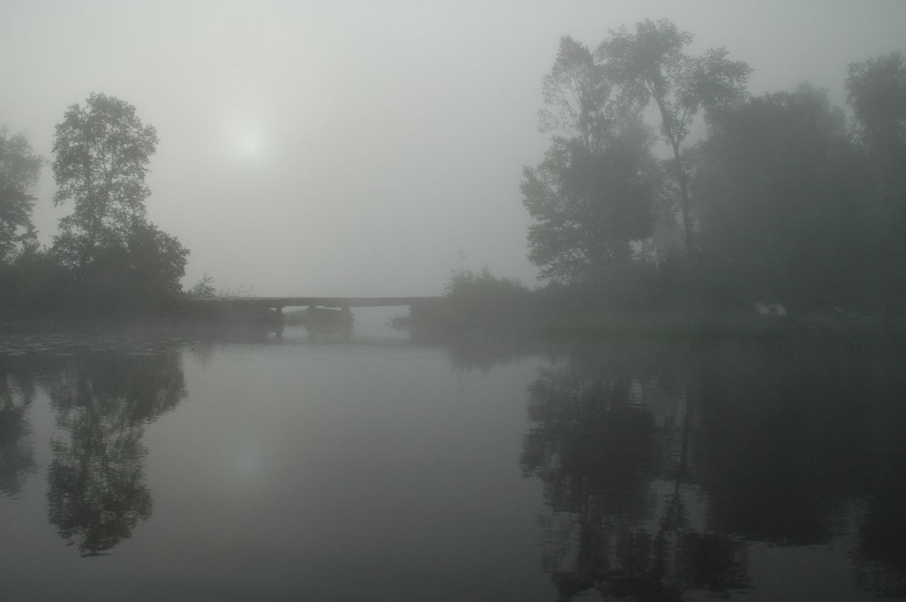
Clear Lake, Novar, Ontario

Clear Lake, Novar, Ontario
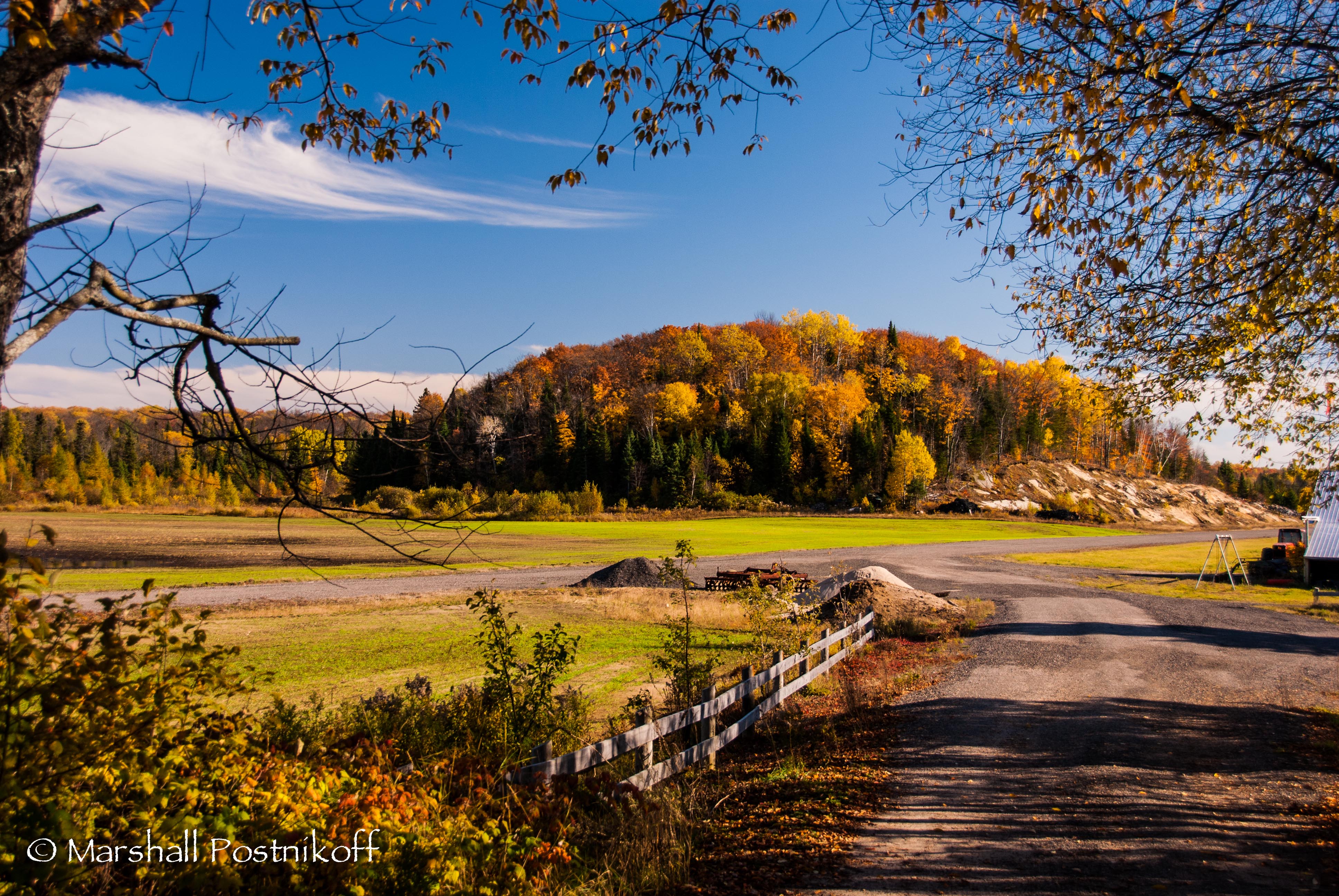
A Hill of Fall Colours

Clear Lake, Novar, Ontario

blood sky
sun disk
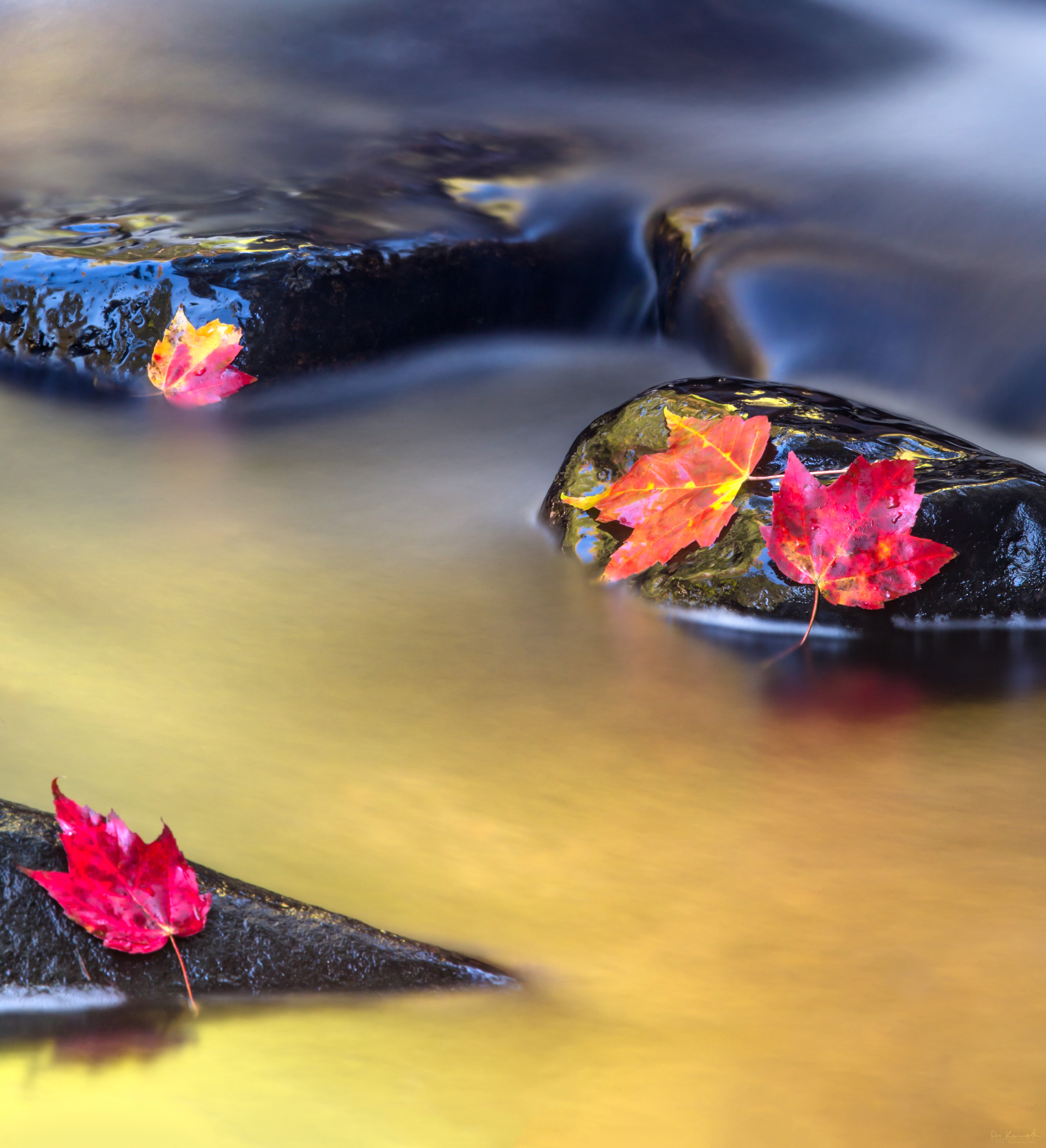
Vibrant Flow
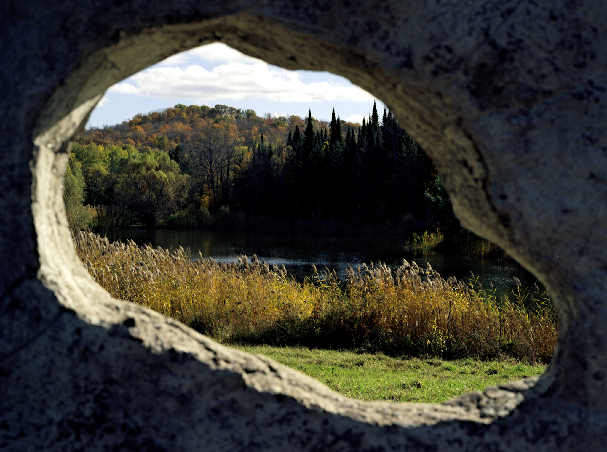
Through An Eye
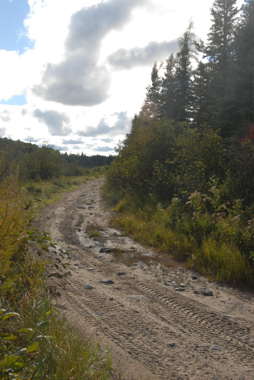
Seguin Trail viewed westerly on west side of Hwy 11 crossing south of Emsdale Rd
カナダ 〒P0A オンタリオ スプルースデールの地図
別の場所を検索
近所の場所
カナダ オンタリオ マクマリック / モンティース
Stisted Rd S, Novar, ON P0A 1R0 カナダ
Stisted Rd S, Sprucedale, ON P0A 1Y0 カナダ
Yearley Rd, Novar, ON P0A 1R0 カナダ
Doe Lake Rd, Katrine, ON P0A 1L0 カナダ
97 Old Track Rd, Emsdale, ON P0A 1J0 カナダ
カナダ 〒P0C 1J0 オンタリオ ベアー・レイク
29 Amylee Dr, Emsdale, ON P0A 1J0 カナダ
カナダ 〒P0A オンタリオ カトリーン
3 Three Mile Lake Rd, Katrine, ON P0A 1L0 カナダ
カナダ 〒P0A オンタリオ バークズ・フォールズ
カナダ オンタリオ ペリー
カナダ 〒P0A オンタリオ エムズデール
Chetwynd Rd, Burk's Falls, ON P0A 1C0 カナダ
Old Muskoka Rd, Emsdale, ON P0A 1J0 カナダ
カナダ 〒P0A オンタリオ アーマー
ON-, Burk's Falls, ON P0A 1C0 カナダ
カナダ 〒P1H 2J2 オンタリオ ハンツビル
Elk Rd, Burk's Falls, ON P0A 1C0 カナダ
South Dr, Huntsville, ON P1H 2J2 カナダ
最近の検索
- アメリカ合衆国 アラスカ州 レッド・ドッグ・マイン日の出日の入り時間
- Am bhf, Borken, ドイツアム・バーンホーフ日の出日の入り時間
- 4th St E, Sonoma, CA, USA日の出日の入り時間
- Oakland Ave, Williamsport, PA アメリカ合衆国日の出日の入り時間
- Via Roma, Pieranica CR, イタリアローマ通り日の出日の入り時間
- クロアチア 〒 ドゥブロブニク GradClock Tower of Dubrovnik日の出日の入り時間
- アルゼンチン チュブ州 トレリュー日の出日の入り時間
- Hartfords Bluff Cir, Mt Pleasant, SC アメリカ合衆国日の出日の入り時間
- 日本、熊本県熊本市北区日の出日の入り時間
- 中華人民共和国 福州市 平潭県 平潭島日の出日の入り時間