アメリカ合衆国 ミズーリ州 スプリング・クリーク日の出日の入り時間
Location: アメリカ合衆国 > ミズーリ州 > ハウェル >
時間帯:
America/Chicago
現地時間:
2025-06-27 21:25:40
経度:
-92.0469151
緯度:
36.6997631
今日の日の出時刻:
05:52:09 AM
今日の日の入時刻:
08:31:07 PM
今日の日長:
14h 38m 58s
明日の日の出時刻:
05:52:34 AM
明日の日の入時刻:
08:31:06 PM
明日の日長:
14h 38m 32s
すべて表示する
| 日付 | 日出 | 日没 | 日長 |
|---|---|---|---|
| 2025年01月01日 | 07:20:45 AM | 05:03:55 PM | 9h 43m 10s |
| 2025年01月02日 | 07:20:51 AM | 05:04:44 PM | 9h 43m 53s |
| 2025年01月03日 | 07:20:55 AM | 05:05:34 PM | 9h 44m 39s |
| 2025年01月04日 | 07:20:58 AM | 05:06:26 PM | 9h 45m 28s |
| 2025年01月05日 | 07:20:58 AM | 05:07:18 PM | 9h 46m 20s |
| 2025年01月06日 | 07:20:56 AM | 05:08:12 PM | 9h 47m 16s |
| 2025年01月07日 | 07:20:52 AM | 05:09:06 PM | 9h 48m 14s |
| 2025年01月08日 | 07:20:46 AM | 05:10:02 PM | 9h 49m 16s |
| 2025年01月09日 | 07:20:39 AM | 05:10:58 PM | 9h 50m 19s |
| 2025年01月10日 | 07:20:29 AM | 05:11:55 PM | 9h 51m 26s |
| 2025年01月11日 | 07:20:17 AM | 05:12:53 PM | 9h 52m 36s |
| 2025年01月12日 | 07:20:03 AM | 05:13:52 PM | 9h 53m 49s |
| 2025年01月13日 | 07:19:47 AM | 05:14:51 PM | 9h 55m 4s |
| 2025年01月14日 | 07:19:30 AM | 05:15:51 PM | 9h 56m 21s |
| 2025年01月15日 | 07:19:10 AM | 05:16:52 PM | 9h 57m 42s |
| 2025年01月16日 | 07:18:48 AM | 05:17:53 PM | 9h 59m 5s |
| 2025年01月17日 | 07:18:25 AM | 05:18:55 PM | 10h 0m 30s |
| 2025年01月18日 | 07:17:59 AM | 05:19:57 PM | 10h 1m 58s |
| 2025年01月19日 | 07:17:32 AM | 05:21:00 PM | 10h 3m 28s |
| 2025年01月20日 | 07:17:02 AM | 05:22:03 PM | 10h 5m 1s |
| 2025年01月21日 | 07:16:31 AM | 05:23:06 PM | 10h 6m 35s |
| 2025年01月22日 | 07:15:58 AM | 05:24:10 PM | 10h 8m 12s |
| 2025年01月23日 | 07:15:23 AM | 05:25:14 PM | 10h 9m 51s |
| 2025年01月24日 | 07:14:47 AM | 05:26:18 PM | 10h 11m 31s |
| 2025年01月25日 | 07:14:08 AM | 05:27:23 PM | 10h 13m 15s |
| 2025年01月26日 | 07:13:28 AM | 05:28:27 PM | 10h 14m 59s |
| 2025年01月27日 | 07:12:46 AM | 05:29:32 PM | 10h 16m 46s |
| 2025年01月28日 | 07:12:03 AM | 05:30:36 PM | 10h 18m 33s |
| 2025年01月29日 | 07:11:17 AM | 05:31:41 PM | 10h 20m 24s |
| 2025年01月30日 | 07:10:30 AM | 05:32:46 PM | 10h 22m 16s |
| 2025年01月31日 | 07:09:42 AM | 05:33:50 PM | 10h 24m 8s |
| 2025年02月01日 | 07:08:52 AM | 05:34:55 PM | 10h 26m 3s |
| 2025年02月02日 | 07:08:00 AM | 05:35:59 PM | 10h 27m 59s |
| 2025年02月03日 | 07:07:07 AM | 05:37:04 PM | 10h 29m 57s |
| 2025年02月04日 | 07:06:12 AM | 05:38:08 PM | 10h 31m 56s |
| 2025年02月05日 | 07:05:16 AM | 05:39:12 PM | 10h 33m 56s |
| 2025年02月06日 | 07:04:19 AM | 05:40:16 PM | 10h 35m 57s |
| 2025年02月07日 | 07:03:20 AM | 05:41:20 PM | 10h 38m 0s |
| 2025年02月08日 | 07:02:20 AM | 05:42:24 PM | 10h 40m 4s |
| 2025年02月09日 | 07:01:18 AM | 05:43:27 PM | 10h 42m 9s |
| 2025年02月10日 | 07:00:15 AM | 05:44:30 PM | 10h 44m 15s |
| 2025年02月11日 | 06:59:11 AM | 05:45:33 PM | 10h 46m 22s |
| 2025年02月12日 | 06:58:05 AM | 05:46:36 PM | 10h 48m 31s |
| 2025年02月13日 | 06:56:59 AM | 05:47:38 PM | 10h 50m 39s |
| 2025年02月14日 | 06:55:51 AM | 05:48:40 PM | 10h 52m 49s |
| 2025年02月15日 | 06:54:42 AM | 05:49:42 PM | 10h 55m 0s |
| 2025年02月16日 | 06:53:32 AM | 05:50:43 PM | 10h 57m 11s |
| 2025年02月17日 | 06:52:21 AM | 05:51:44 PM | 10h 59m 23s |
| 2025年02月18日 | 06:51:09 AM | 05:52:45 PM | 11h 1m 36s |
| 2025年02月19日 | 06:49:56 AM | 05:53:46 PM | 11h 3m 50s |
| 2025年02月20日 | 06:48:41 AM | 05:54:46 PM | 11h 6m 5s |
| 2025年02月21日 | 06:47:26 AM | 05:55:46 PM | 11h 8m 20s |
| 2025年02月22日 | 06:46:10 AM | 05:56:45 PM | 11h 10m 35s |
| 2025年02月23日 | 06:44:54 AM | 05:57:44 PM | 11h 12m 50s |
| 2025年02月24日 | 06:43:36 AM | 05:58:43 PM | 11h 15m 7s |
| 2025年02月25日 | 06:42:17 AM | 05:59:42 PM | 11h 17m 25s |
| 2025年02月26日 | 06:40:58 AM | 06:00:40 PM | 11h 19m 42s |
| 2025年02月27日 | 06:39:38 AM | 06:01:38 PM | 11h 22m 0s |
| 2025年02月28日 | 06:38:17 AM | 06:02:35 PM | 11h 24m 18s |
| 2025年03月01日 | 06:36:56 AM | 06:03:33 PM | 11h 26m 37s |
| 2025年03月02日 | 06:35:34 AM | 06:04:30 PM | 11h 28m 56s |
| 2025年03月03日 | 06:34:11 AM | 06:05:26 PM | 11h 31m 15s |
| 2025年03月04日 | 06:32:48 AM | 06:06:23 PM | 11h 33m 35s |
| 2025年03月05日 | 06:31:24 AM | 06:07:19 PM | 11h 35m 55s |
| 2025年03月06日 | 06:29:59 AM | 06:08:15 PM | 11h 38m 16s |
| 2025年03月07日 | 06:28:35 AM | 06:09:10 PM | 11h 40m 35s |
| 2025年03月08日 | 06:27:09 AM | 06:10:05 PM | 11h 42m 56s |
| 2025年03月09日 | 07:25:47 AM | 07:10:58 PM | 11h 45m 11s |
| 2025年03月10日 | 07:24:21 AM | 07:11:53 PM | 11h 47m 32s |
| 2025年03月11日 | 07:22:54 AM | 07:12:47 PM | 11h 49m 53s |
| 2025年03月12日 | 07:21:28 AM | 07:13:42 PM | 11h 52m 14s |
| 2025年03月13日 | 07:20:00 AM | 07:14:36 PM | 11h 54m 36s |
| 2025年03月14日 | 07:18:33 AM | 07:15:30 PM | 11h 56m 57s |
| 2025年03月15日 | 07:17:05 AM | 07:16:23 PM | 11h 59m 18s |
| 2025年03月16日 | 07:15:37 AM | 07:17:17 PM | 12h 1m 40s |
| 2025年03月17日 | 07:14:09 AM | 07:18:10 PM | 12h 4m 1s |
| 2025年03月18日 | 07:12:41 AM | 07:19:03 PM | 12h 6m 22s |
| 2025年03月19日 | 07:11:13 AM | 07:19:56 PM | 12h 8m 43s |
| 2025年03月20日 | 07:09:44 AM | 07:20:49 PM | 12h 11m 5s |
| 2025年03月21日 | 07:08:16 AM | 07:21:42 PM | 12h 13m 26s |
| 2025年03月22日 | 07:06:47 AM | 07:22:35 PM | 12h 15m 48s |
| 2025年03月23日 | 07:05:18 AM | 07:23:27 PM | 12h 18m 9s |
| 2025年03月24日 | 07:03:50 AM | 07:24:19 PM | 12h 20m 29s |
| 2025年03月25日 | 07:02:21 AM | 07:25:12 PM | 12h 22m 51s |
| 2025年03月26日 | 07:00:53 AM | 07:26:04 PM | 12h 25m 11s |
| 2025年03月27日 | 06:59:24 AM | 07:26:56 PM | 12h 27m 32s |
| 2025年03月28日 | 06:57:56 AM | 07:27:48 PM | 12h 29m 52s |
| 2025年03月29日 | 06:56:28 AM | 07:28:40 PM | 12h 32m 12s |
| 2025年03月30日 | 06:55:00 AM | 07:29:32 PM | 12h 34m 32s |
| 2025年03月31日 | 06:53:33 AM | 07:30:24 PM | 12h 36m 51s |
| 2025年04月01日 | 06:52:05 AM | 07:31:16 PM | 12h 39m 11s |
| 2025年04月02日 | 06:50:38 AM | 07:32:08 PM | 12h 41m 30s |
| 2025年04月03日 | 06:49:12 AM | 07:33:00 PM | 12h 43m 48s |
| 2025年04月04日 | 06:47:45 AM | 07:33:52 PM | 12h 46m 7s |
| 2025年04月05日 | 06:46:19 AM | 07:34:44 PM | 12h 48m 25s |
| 2025年04月06日 | 06:44:53 AM | 07:35:36 PM | 12h 50m 43s |
| 2025年04月07日 | 06:43:28 AM | 07:36:28 PM | 12h 53m 0s |
| 2025年04月08日 | 06:42:04 AM | 07:37:20 PM | 12h 55m 16s |
| 2025年04月09日 | 06:40:39 AM | 07:38:12 PM | 12h 57m 33s |
| 2025年04月10日 | 06:39:16 AM | 07:39:04 PM | 12h 59m 48s |
| 2025年04月11日 | 06:37:52 AM | 07:39:57 PM | 13h 2m 5s |
| 2025年04月12日 | 06:36:30 AM | 07:40:49 PM | 13h 4m 19s |
| 2025年04月13日 | 06:35:08 AM | 07:41:41 PM | 13h 6m 33s |
| 2025年04月14日 | 06:33:47 AM | 07:42:33 PM | 13h 8m 46s |
| 2025年04月15日 | 06:32:26 AM | 07:43:26 PM | 13h 11m 0s |
| 2025年04月16日 | 06:31:06 AM | 07:44:18 PM | 13h 13m 12s |
| 2025年04月17日 | 06:29:47 AM | 07:45:10 PM | 13h 15m 23s |
| 2025年04月18日 | 06:28:28 AM | 07:46:03 PM | 13h 17m 35s |
| 2025年04月19日 | 06:27:10 AM | 07:46:56 PM | 13h 19m 46s |
| 2025年04月20日 | 06:25:54 AM | 07:47:48 PM | 13h 21m 54s |
| 2025年04月21日 | 06:24:38 AM | 07:48:41 PM | 13h 24m 3s |
| 2025年04月22日 | 06:23:22 AM | 07:49:33 PM | 13h 26m 11s |
| 2025年04月23日 | 06:22:08 AM | 07:50:26 PM | 13h 28m 18s |
| 2025年04月24日 | 06:20:55 AM | 07:51:19 PM | 13h 30m 24s |
| 2025年04月25日 | 06:19:42 AM | 07:52:11 PM | 13h 32m 29s |
| 2025年04月26日 | 06:18:31 AM | 07:53:04 PM | 13h 34m 33s |
| 2025年04月27日 | 06:17:21 AM | 07:53:57 PM | 13h 36m 36s |
| 2025年04月28日 | 06:16:11 AM | 07:54:50 PM | 13h 38m 39s |
| 2025年04月29日 | 06:15:03 AM | 07:55:42 PM | 13h 40m 39s |
| 2025年04月30日 | 06:13:56 AM | 07:56:35 PM | 13h 42m 39s |
| 2025年05月01日 | 06:12:50 AM | 07:57:27 PM | 13h 44m 37s |
| 2025年05月02日 | 06:11:45 AM | 07:58:20 PM | 13h 46m 35s |
| 2025年05月03日 | 06:10:42 AM | 07:59:12 PM | 13h 48m 30s |
| 2025年05月04日 | 06:09:39 AM | 08:00:05 PM | 13h 50m 26s |
| 2025年05月05日 | 06:08:38 AM | 08:00:57 PM | 13h 52m 19s |
| 2025年05月06日 | 06:07:38 AM | 08:01:49 PM | 13h 54m 11s |
| 2025年05月07日 | 06:06:40 AM | 08:02:41 PM | 13h 56m 1s |
| 2025年05月08日 | 06:05:43 AM | 08:03:32 PM | 13h 57m 49s |
| 2025年05月09日 | 06:04:47 AM | 08:04:24 PM | 13h 59m 37s |
| 2025年05月10日 | 06:03:52 AM | 08:05:15 PM | 14h 1m 23s |
| 2025年05月11日 | 06:02:59 AM | 08:06:06 PM | 14h 3m 7s |
| 2025年05月12日 | 06:02:07 AM | 08:06:57 PM | 14h 4m 50s |
| 2025年05月13日 | 06:01:17 AM | 08:07:47 PM | 14h 6m 30s |
| 2025年05月14日 | 06:00:29 AM | 08:08:37 PM | 14h 8m 8s |
| 2025年05月15日 | 05:59:41 AM | 08:09:27 PM | 14h 9m 46s |
| 2025年05月16日 | 05:58:56 AM | 08:10:16 PM | 14h 11m 20s |
| 2025年05月17日 | 05:58:11 AM | 08:11:05 PM | 14h 12m 54s |
| 2025年05月18日 | 05:57:29 AM | 08:11:53 PM | 14h 14m 24s |
| 2025年05月19日 | 05:56:48 AM | 08:12:41 PM | 14h 15m 53s |
| 2025年05月20日 | 05:56:08 AM | 08:13:29 PM | 14h 17m 21s |
| 2025年05月21日 | 05:55:30 AM | 08:14:16 PM | 14h 18m 46s |
| 2025年05月22日 | 05:54:54 AM | 08:15:02 PM | 14h 20m 8s |
| 2025年05月23日 | 05:54:20 AM | 08:15:47 PM | 14h 21m 27s |
| 2025年05月24日 | 05:53:47 AM | 08:16:32 PM | 14h 22m 45s |
| 2025年05月25日 | 05:53:15 AM | 08:17:17 PM | 14h 24m 2s |
| 2025年05月26日 | 05:52:46 AM | 08:18:00 PM | 14h 25m 14s |
| 2025年05月27日 | 05:52:18 AM | 08:18:43 PM | 14h 26m 25s |
| 2025年05月28日 | 05:51:52 AM | 08:19:25 PM | 14h 27m 33s |
| 2025年05月29日 | 05:51:28 AM | 08:20:06 PM | 14h 28m 38s |
| 2025年05月30日 | 05:51:05 AM | 08:20:46 PM | 14h 29m 41s |
| 2025年05月31日 | 05:50:44 AM | 08:21:25 PM | 14h 30m 41s |
| 2025年06月01日 | 05:50:25 AM | 08:22:03 PM | 14h 31m 38s |
| 2025年06月02日 | 05:50:07 AM | 08:22:41 PM | 14h 32m 34s |
| 2025年06月03日 | 05:49:52 AM | 08:23:17 PM | 14h 33m 25s |
| 2025年06月04日 | 05:49:38 AM | 08:23:52 PM | 14h 34m 14s |
| 2025年06月05日 | 05:49:25 AM | 08:24:26 PM | 14h 35m 1s |
| 2025年06月06日 | 05:49:15 AM | 08:24:59 PM | 14h 35m 44s |
| 2025年06月07日 | 05:49:06 AM | 08:25:31 PM | 14h 36m 25s |
| 2025年06月08日 | 05:48:59 AM | 08:26:01 PM | 14h 37m 2s |
| 2025年06月09日 | 05:48:54 AM | 08:26:31 PM | 14h 37m 37s |
| 2025年06月10日 | 05:48:50 AM | 08:26:59 PM | 14h 38m 9s |
| 2025年06月11日 | 05:48:48 AM | 08:27:25 PM | 14h 38m 37s |
| 2025年06月12日 | 05:48:48 AM | 08:27:50 PM | 14h 39m 2s |
| 2025年06月13日 | 05:48:50 AM | 08:28:14 PM | 14h 39m 24s |
| 2025年06月14日 | 05:48:53 AM | 08:28:37 PM | 14h 39m 44s |
| 2025年06月15日 | 05:48:58 AM | 08:28:58 PM | 14h 40m 0s |
| 2025年06月16日 | 05:49:04 AM | 08:29:17 PM | 14h 40m 13s |
| 2025年06月17日 | 05:49:12 AM | 08:29:35 PM | 14h 40m 23s |
| 2025年06月18日 | 05:49:22 AM | 08:29:52 PM | 14h 40m 30s |
| 2025年06月19日 | 05:49:33 AM | 08:30:06 PM | 14h 40m 33s |
| 2025年06月20日 | 05:49:46 AM | 08:30:20 PM | 14h 40m 34s |
| 2025年06月21日 | 05:50:01 AM | 08:30:31 PM | 14h 40m 30s |
| 2025年06月22日 | 05:50:17 AM | 08:30:41 PM | 14h 40m 24s |
| 2025年06月23日 | 05:50:34 AM | 08:30:50 PM | 14h 40m 16s |
| 2025年06月24日 | 05:50:53 AM | 08:30:57 PM | 14h 40m 4s |
| 2025年06月25日 | 05:51:13 AM | 08:31:02 PM | 14h 39m 49s |
| 2025年06月26日 | 05:51:35 AM | 08:31:05 PM | 14h 39m 30s |
| 2025年06月27日 | 05:51:58 AM | 08:31:06 PM | 14h 39m 8s |
| 2025年06月28日 | 05:52:22 AM | 08:31:06 PM | 14h 38m 44s |
| 2025年06月29日 | 05:52:48 AM | 08:31:04 PM | 14h 38m 16s |
| 2025年06月30日 | 05:53:15 AM | 08:31:01 PM | 14h 37m 46s |
| 2025年07月01日 | 05:53:43 AM | 08:30:55 PM | 14h 37m 12s |
| 2025年07月02日 | 05:54:12 AM | 08:30:48 PM | 14h 36m 36s |
| 2025年07月03日 | 05:54:42 AM | 08:30:39 PM | 14h 35m 57s |
| 2025年07月04日 | 05:55:14 AM | 08:30:28 PM | 14h 35m 14s |
| 2025年07月05日 | 05:55:47 AM | 08:30:16 PM | 14h 34m 29s |
| 2025年07月06日 | 05:56:20 AM | 08:30:01 PM | 14h 33m 41s |
| 2025年07月07日 | 05:56:55 AM | 08:29:45 PM | 14h 32m 50s |
| 2025年07月08日 | 05:57:31 AM | 08:29:27 PM | 14h 31m 56s |
| 2025年07月09日 | 05:58:08 AM | 08:29:08 PM | 14h 31m 0s |
| 2025年07月10日 | 05:58:45 AM | 08:28:46 PM | 14h 30m 1s |
| 2025年07月11日 | 05:59:24 AM | 08:28:23 PM | 14h 28m 59s |
| 2025年07月12日 | 06:00:03 AM | 08:27:58 PM | 14h 27m 55s |
| 2025年07月13日 | 06:00:43 AM | 08:27:31 PM | 14h 26m 48s |
| 2025年07月14日 | 06:01:24 AM | 08:27:02 PM | 14h 25m 38s |
| 2025年07月15日 | 06:02:05 AM | 08:26:32 PM | 14h 24m 27s |
| 2025年07月16日 | 06:02:47 AM | 08:26:00 PM | 14h 23m 13s |
| 2025年07月17日 | 06:03:30 AM | 08:25:27 PM | 14h 21m 57s |
| 2025年07月18日 | 06:04:13 AM | 08:24:51 PM | 14h 20m 38s |
| 2025年07月19日 | 06:04:57 AM | 08:24:14 PM | 14h 19m 17s |
| 2025年07月20日 | 06:05:42 AM | 08:23:35 PM | 14h 17m 53s |
| 2025年07月21日 | 06:06:27 AM | 08:22:55 PM | 14h 16m 28s |
| 2025年07月22日 | 06:07:12 AM | 08:22:13 PM | 14h 15m 1s |
| 2025年07月23日 | 06:07:58 AM | 08:21:30 PM | 14h 13m 32s |
| 2025年07月24日 | 06:08:44 AM | 08:20:44 PM | 14h 12m 0s |
| 2025年07月25日 | 06:09:31 AM | 08:19:58 PM | 14h 10m 27s |
| 2025年07月26日 | 06:10:18 AM | 08:19:09 PM | 14h 8m 51s |
| 2025年07月27日 | 06:11:05 AM | 08:18:20 PM | 14h 7m 15s |
| 2025年07月28日 | 06:11:53 AM | 08:17:28 PM | 14h 5m 35s |
| 2025年07月29日 | 06:12:41 AM | 08:16:36 PM | 14h 3m 55s |
| 2025年07月30日 | 06:13:29 AM | 08:15:41 PM | 14h 2m 12s |
| 2025年07月31日 | 06:14:17 AM | 08:14:46 PM | 14h 0m 29s |
| 2025年08月01日 | 06:15:06 AM | 08:13:49 PM | 13h 58m 43s |
| 2025年08月02日 | 06:15:55 AM | 08:12:50 PM | 13h 56m 55s |
| 2025年08月03日 | 06:16:43 AM | 08:11:51 PM | 13h 55m 8s |
| 2025年08月04日 | 06:17:32 AM | 08:10:50 PM | 13h 53m 18s |
| 2025年08月05日 | 06:18:21 AM | 08:09:47 PM | 13h 51m 26s |
| 2025年08月06日 | 06:19:10 AM | 08:08:44 PM | 13h 49m 34s |
| 2025年08月07日 | 06:19:59 AM | 08:07:39 PM | 13h 47m 40s |
| 2025年08月08日 | 06:20:49 AM | 08:06:33 PM | 13h 45m 44s |
| 2025年08月09日 | 06:21:38 AM | 08:05:25 PM | 13h 43m 47s |
| 2025年08月10日 | 06:22:27 AM | 08:04:17 PM | 13h 41m 50s |
| 2025年08月11日 | 06:23:16 AM | 08:03:08 PM | 13h 39m 52s |
| 2025年08月12日 | 06:24:06 AM | 08:01:57 PM | 13h 37m 51s |
| 2025年08月13日 | 06:24:55 AM | 08:00:45 PM | 13h 35m 50s |
| 2025年08月14日 | 06:25:44 AM | 07:59:32 PM | 13h 33m 48s |
| 2025年08月15日 | 06:26:33 AM | 07:58:19 PM | 13h 31m 46s |
| 2025年08月16日 | 06:27:22 AM | 07:57:04 PM | 13h 29m 42s |
| 2025年08月17日 | 06:28:11 AM | 07:55:48 PM | 13h 27m 37s |
| 2025年08月18日 | 06:29:00 AM | 07:54:32 PM | 13h 25m 32s |
| 2025年08月19日 | 06:29:49 AM | 07:53:14 PM | 13h 23m 25s |
| 2025年08月20日 | 06:30:38 AM | 07:51:56 PM | 13h 21m 18s |
| 2025年08月21日 | 06:31:27 AM | 07:50:36 PM | 13h 19m 9s |
| 2025年08月22日 | 06:32:15 AM | 07:49:16 PM | 13h 17m 1s |
| 2025年08月23日 | 06:33:04 AM | 07:47:56 PM | 13h 14m 52s |
| 2025年08月24日 | 06:33:52 AM | 07:46:34 PM | 13h 12m 42s |
| 2025年08月25日 | 06:34:41 AM | 07:45:12 PM | 13h 10m 31s |
| 2025年08月26日 | 06:35:29 AM | 07:43:49 PM | 13h 8m 20s |
| 2025年08月27日 | 06:36:17 AM | 07:42:25 PM | 13h 6m 8s |
| 2025年08月28日 | 06:37:05 AM | 07:41:01 PM | 13h 3m 56s |
| 2025年08月29日 | 06:37:54 AM | 07:39:36 PM | 13h 1m 42s |
| 2025年08月30日 | 06:38:42 AM | 07:38:11 PM | 12h 59m 29s |
| 2025年08月31日 | 06:39:30 AM | 07:36:45 PM | 12h 57m 15s |
| 2025年09月01日 | 06:40:17 AM | 07:35:18 PM | 12h 55m 1s |
| 2025年09月02日 | 06:41:05 AM | 07:33:51 PM | 12h 52m 46s |
| 2025年09月03日 | 06:41:53 AM | 07:32:24 PM | 12h 50m 31s |
| 2025年09月04日 | 06:42:41 AM | 07:30:56 PM | 12h 48m 15s |
| 2025年09月05日 | 06:43:28 AM | 07:29:27 PM | 12h 45m 59s |
| 2025年09月06日 | 06:44:16 AM | 07:27:59 PM | 12h 43m 43s |
| 2025年09月07日 | 06:45:04 AM | 07:26:30 PM | 12h 41m 26s |
| 2025年09月08日 | 06:45:51 AM | 07:25:00 PM | 12h 39m 9s |
| 2025年09月09日 | 06:46:39 AM | 07:23:31 PM | 12h 36m 52s |
| 2025年09月10日 | 06:47:27 AM | 07:22:01 PM | 12h 34m 34s |
| 2025年09月11日 | 06:48:14 AM | 07:20:31 PM | 12h 32m 17s |
| 2025年09月12日 | 06:49:02 AM | 07:19:01 PM | 12h 29m 59s |
| 2025年09月13日 | 06:49:50 AM | 07:17:30 PM | 12h 27m 40s |
| 2025年09月14日 | 06:50:38 AM | 07:16:00 PM | 12h 25m 22s |
| 2025年09月15日 | 06:51:25 AM | 07:14:29 PM | 12h 23m 4s |
| 2025年09月16日 | 06:52:13 AM | 07:12:58 PM | 12h 20m 45s |
| 2025年09月17日 | 06:53:01 AM | 07:11:27 PM | 12h 18m 26s |
| 2025年09月18日 | 06:53:49 AM | 07:09:56 PM | 12h 16m 7s |
| 2025年09月19日 | 06:54:37 AM | 07:08:25 PM | 12h 13m 48s |
| 2025年09月20日 | 06:55:26 AM | 07:06:55 PM | 12h 11m 29s |
| 2025年09月21日 | 06:56:14 AM | 07:05:24 PM | 12h 9m 10s |
| 2025年09月22日 | 06:57:03 AM | 07:03:53 PM | 12h 6m 50s |
| 2025年09月23日 | 06:57:51 AM | 07:02:23 PM | 12h 4m 32s |
| 2025年09月24日 | 06:58:40 AM | 07:00:52 PM | 12h 2m 12s |
| 2025年09月25日 | 06:59:29 AM | 06:59:22 PM | 11h 59m 53s |
| 2025年09月26日 | 07:00:18 AM | 06:57:52 PM | 11h 57m 34s |
| 2025年09月27日 | 07:01:08 AM | 06:56:22 PM | 11h 55m 14s |
| 2025年09月28日 | 07:01:57 AM | 06:54:53 PM | 11h 52m 56s |
| 2025年09月29日 | 07:02:47 AM | 06:53:23 PM | 11h 50m 36s |
| 2025年09月30日 | 07:03:37 AM | 06:51:55 PM | 11h 48m 18s |
| 2025年10月01日 | 07:04:28 AM | 06:50:26 PM | 11h 45m 58s |
| 2025年10月02日 | 07:05:18 AM | 06:48:58 PM | 11h 43m 40s |
| 2025年10月03日 | 07:06:09 AM | 06:47:30 PM | 11h 41m 21s |
| 2025年10月04日 | 07:07:00 AM | 06:46:03 PM | 11h 39m 3s |
| 2025年10月05日 | 07:07:51 AM | 06:44:36 PM | 11h 36m 45s |
| 2025年10月06日 | 07:08:43 AM | 06:43:10 PM | 11h 34m 27s |
| 2025年10月07日 | 07:09:35 AM | 06:41:44 PM | 11h 32m 9s |
| 2025年10月08日 | 07:10:27 AM | 06:40:19 PM | 11h 29m 52s |
| 2025年10月09日 | 07:11:20 AM | 06:38:54 PM | 11h 27m 34s |
| 2025年10月10日 | 07:12:12 AM | 06:37:30 PM | 11h 25m 18s |
| 2025年10月11日 | 07:13:06 AM | 06:36:07 PM | 11h 23m 1s |
| 2025年10月12日 | 07:13:59 AM | 06:34:44 PM | 11h 20m 45s |
| 2025年10月13日 | 07:14:53 AM | 06:33:22 PM | 11h 18m 29s |
| 2025年10月14日 | 07:15:47 AM | 06:32:01 PM | 11h 16m 14s |
| 2025年10月15日 | 07:16:42 AM | 06:30:41 PM | 11h 13m 59s |
| 2025年10月16日 | 07:17:37 AM | 06:29:21 PM | 11h 11m 44s |
| 2025年10月17日 | 07:18:32 AM | 06:28:03 PM | 11h 9m 31s |
| 2025年10月18日 | 07:19:28 AM | 06:26:45 PM | 11h 7m 17s |
| 2025年10月19日 | 07:20:24 AM | 06:25:28 PM | 11h 5m 4s |
| 2025年10月20日 | 07:21:20 AM | 06:24:12 PM | 11h 2m 52s |
| 2025年10月21日 | 07:22:17 AM | 06:22:57 PM | 11h 0m 40s |
| 2025年10月22日 | 07:23:14 AM | 06:21:43 PM | 10h 58m 29s |
| 2025年10月23日 | 07:24:11 AM | 06:20:30 PM | 10h 56m 19s |
| 2025年10月24日 | 07:25:09 AM | 06:19:19 PM | 10h 54m 10s |
| 2025年10月25日 | 07:26:07 AM | 06:18:08 PM | 10h 52m 1s |
| 2025年10月26日 | 07:27:05 AM | 06:16:58 PM | 10h 49m 53s |
| 2025年10月27日 | 07:28:04 AM | 06:15:50 PM | 10h 47m 46s |
| 2025年10月28日 | 07:29:03 AM | 06:14:43 PM | 10h 45m 40s |
| 2025年10月29日 | 07:30:02 AM | 06:13:37 PM | 10h 43m 35s |
| 2025年10月30日 | 07:31:02 AM | 06:12:32 PM | 10h 41m 30s |
| 2025年10月31日 | 07:32:01 AM | 06:11:29 PM | 10h 39m 28s |
| 2025年11月01日 | 07:33:02 AM | 06:10:27 PM | 10h 37m 25s |
| 2025年11月02日 | 06:34:04 AM | 05:09:24 PM | 10h 35m 20s |
| 2025年11月03日 | 06:35:05 AM | 05:08:25 PM | 10h 33m 20s |
| 2025年11月04日 | 06:36:06 AM | 05:07:27 PM | 10h 31m 21s |
| 2025年11月05日 | 06:37:07 AM | 05:06:31 PM | 10h 29m 24s |
| 2025年11月06日 | 06:38:08 AM | 05:05:36 PM | 10h 27m 28s |
| 2025年11月07日 | 06:39:10 AM | 05:04:43 PM | 10h 25m 33s |
| 2025年11月08日 | 06:40:11 AM | 05:03:51 PM | 10h 23m 40s |
| 2025年11月09日 | 06:41:13 AM | 05:03:01 PM | 10h 21m 48s |
| 2025年11月10日 | 06:42:14 AM | 05:02:13 PM | 10h 19m 59s |
| 2025年11月11日 | 06:43:16 AM | 05:01:26 PM | 10h 18m 10s |
| 2025年11月12日 | 06:44:18 AM | 05:00:41 PM | 10h 16m 23s |
| 2025年11月13日 | 06:45:19 AM | 04:59:58 PM | 10h 14m 39s |
| 2025年11月14日 | 06:46:21 AM | 04:59:16 PM | 10h 12m 55s |
| 2025年11月15日 | 06:47:23 AM | 04:58:36 PM | 10h 11m 13s |
| 2025年11月16日 | 06:48:24 AM | 04:57:58 PM | 10h 9m 34s |
| 2025年11月17日 | 06:49:25 AM | 04:57:22 PM | 10h 7m 57s |
| 2025年11月18日 | 06:50:27 AM | 04:56:47 PM | 10h 6m 20s |
| 2025年11月19日 | 06:51:27 AM | 04:56:15 PM | 10h 4m 48s |
| 2025年11月20日 | 06:52:28 AM | 04:55:44 PM | 10h 3m 16s |
| 2025年11月21日 | 06:53:28 AM | 04:55:15 PM | 10h 1m 47s |
| 2025年11月22日 | 06:54:28 AM | 04:54:49 PM | 10h 0m 21s |
| 2025年11月23日 | 06:55:28 AM | 04:54:24 PM | 9h 58m 56s |
| 2025年11月24日 | 06:56:27 AM | 04:54:01 PM | 9h 57m 34s |
| 2025年11月25日 | 06:57:26 AM | 04:53:40 PM | 9h 56m 14s |
| 2025年11月26日 | 06:58:24 AM | 04:53:21 PM | 9h 54m 57s |
| 2025年11月27日 | 06:59:22 AM | 04:53:04 PM | 9h 53m 42s |
| 2025年11月28日 | 07:00:18 AM | 04:52:49 PM | 9h 52m 31s |
| 2025年11月29日 | 07:01:15 AM | 04:52:36 PM | 9h 51m 21s |
| 2025年11月30日 | 07:02:10 AM | 04:52:25 PM | 9h 50m 15s |
| 2025年12月01日 | 07:03:05 AM | 04:52:16 PM | 9h 49m 11s |
| 2025年12月02日 | 07:03:59 AM | 04:52:09 PM | 9h 48m 10s |
| 2025年12月03日 | 07:04:52 AM | 04:52:05 PM | 9h 47m 13s |
| 2025年12月04日 | 07:05:44 AM | 04:52:02 PM | 9h 46m 18s |
| 2025年12月05日 | 07:06:35 AM | 04:52:01 PM | 9h 45m 26s |
| 2025年12月06日 | 07:07:25 AM | 04:52:03 PM | 9h 44m 38s |
| 2025年12月07日 | 07:08:14 AM | 04:52:06 PM | 9h 43m 52s |
| 2025年12月08日 | 07:09:02 AM | 04:52:12 PM | 9h 43m 10s |
| 2025年12月09日 | 07:09:49 AM | 04:52:19 PM | 9h 42m 30s |
| 2025年12月10日 | 07:10:35 AM | 04:52:29 PM | 9h 41m 54s |
| 2025年12月11日 | 07:11:19 AM | 04:52:40 PM | 9h 41m 21s |
| 2025年12月12日 | 07:12:02 AM | 04:52:54 PM | 9h 40m 52s |
| 2025年12月13日 | 07:12:44 AM | 04:53:09 PM | 9h 40m 25s |
| 2025年12月14日 | 07:13:24 AM | 04:53:27 PM | 9h 40m 3s |
| 2025年12月15日 | 07:14:03 AM | 04:53:46 PM | 9h 39m 43s |
| 2025年12月16日 | 07:14:40 AM | 04:54:08 PM | 9h 39m 28s |
| 2025年12月17日 | 07:15:15 AM | 04:54:31 PM | 9h 39m 16s |
| 2025年12月18日 | 07:15:50 AM | 04:54:56 PM | 9h 39m 6s |
| 2025年12月19日 | 07:16:22 AM | 04:55:23 PM | 9h 39m 1s |
| 2025年12月20日 | 07:16:53 AM | 04:55:52 PM | 9h 38m 59s |
| 2025年12月21日 | 07:17:22 AM | 04:56:22 PM | 9h 39m 0s |
| 2025年12月22日 | 07:17:50 AM | 04:56:54 PM | 9h 39m 4s |
| 2025年12月23日 | 07:18:15 AM | 04:57:28 PM | 9h 39m 13s |
| 2025年12月24日 | 07:18:39 AM | 04:58:04 PM | 9h 39m 25s |
| 2025年12月25日 | 07:19:01 AM | 04:58:41 PM | 9h 39m 40s |
| 2025年12月26日 | 07:19:21 AM | 04:59:20 PM | 9h 39m 59s |
| 2025年12月27日 | 07:19:40 AM | 05:00:00 PM | 9h 40m 20s |
| 2025年12月28日 | 07:19:56 AM | 05:00:42 PM | 9h 40m 46s |
| 2025年12月29日 | 07:20:11 AM | 05:01:25 PM | 9h 41m 14s |
| 2025年12月30日 | 07:20:23 AM | 05:02:10 PM | 9h 41m 47s |
| 2025年12月31日 | 07:20:34 AM | 05:02:56 PM | 9h 42m 22s |
写真
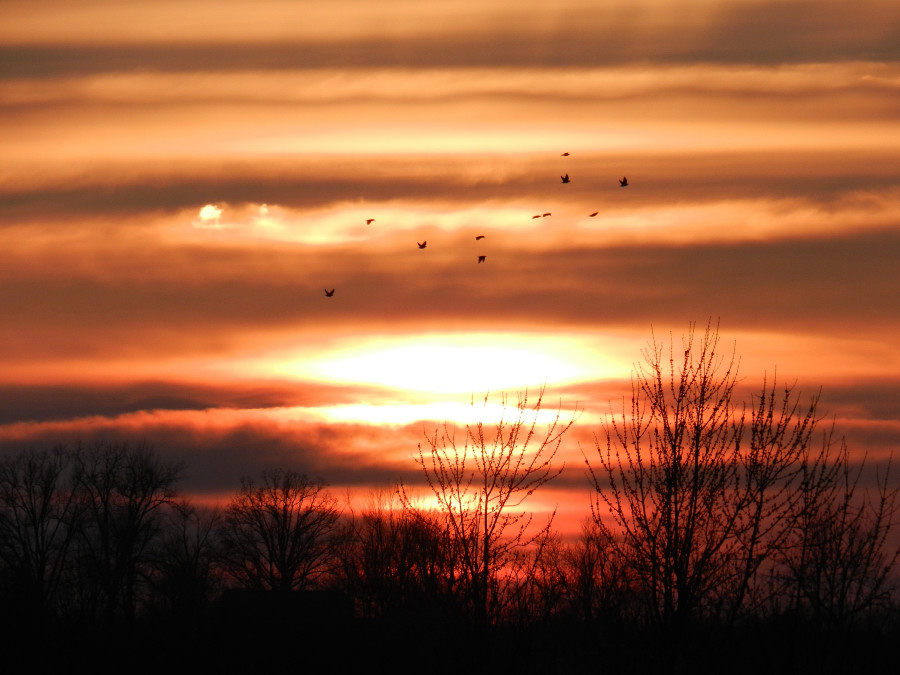
Sunset 2-16-12
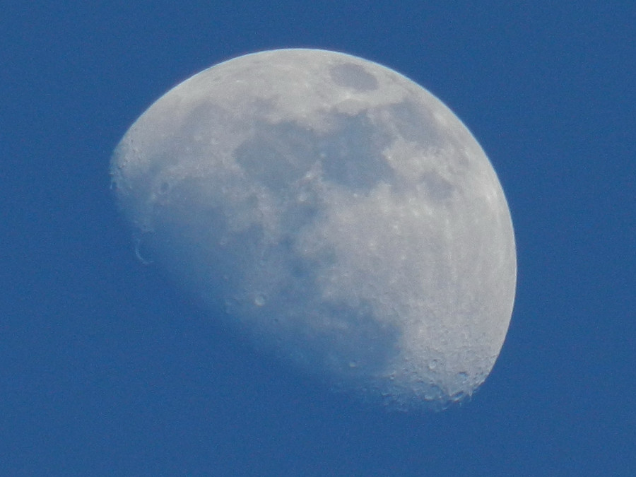
Sunset Moon
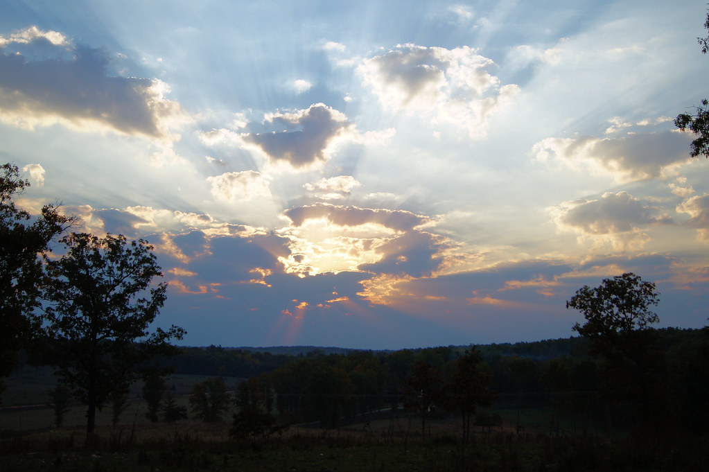
Oct sunrise 2

Camping by the North Fork River - Devils Backbone Wilderness
October 1, 2015 | Lane Spring | Phelps County MO
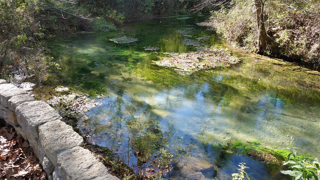
October 1, 2015 | Overlooking Lane Spring | Phelps County MO
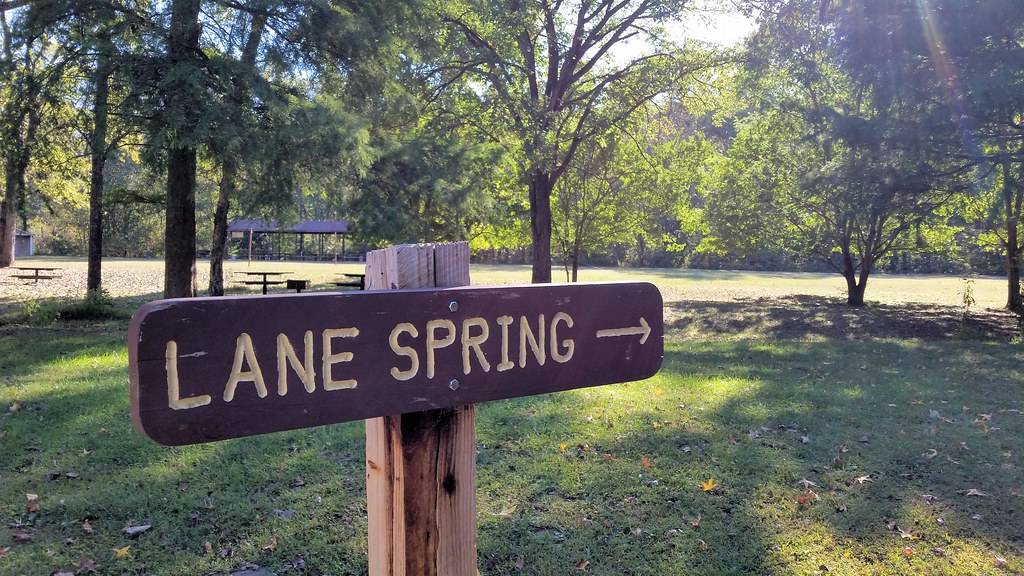
October 1, 2015 | This way to Lane Spring | Phelps County MO
アメリカ合衆国 ミズーリ州 スプリング・クリークの地図
別の場所を検索
アメリカ合衆国 ミズーリ州 スプリング・クリークでの場所
近所の場所
アメリカ合衆国 〒 ミズーリ州 ポッターズビル
アメリカ合衆国 〒 ミズーリ州 コールフィールド
MO-, Caulfield, MO アメリカ合衆国
アメリカ合衆国 ミズーリ州 バイユー II タウンシップ
E Pamela Dr, West Plains, MO アメリカ合衆国
Co Rd, West Plains, MO アメリカ合衆国
アメリカ合衆国 ミズーリ州 ドライ・クリーク・タウンシップ
アメリカ合衆国 〒 ミズーリ州 ウェスト・プレーンズ
Wayhaven Ave, West Plains, MO アメリカ合衆国Wayhaven Avenue
Co Rd, Caulfield, MO アメリカ合衆国
アメリカ合衆国 ミズーリ州 ドラ
Luna Dr, West Plains, MO アメリカ合衆国
S Aid Ave, West Plains, MO アメリカ合衆国
アメリカ合衆国 〒 ミズーリ州 ウェスト・プレーンズN-A
アメリカ合衆国 〒 ミズーリ州 ウェスト・プレーンズ
アメリカ合衆国 ミズーリ州 リッチランド・タウンシップ
アメリカ合衆国 ミズーリ州 サウス・フォーク
アメリカ合衆国 ミズーリ州 ハウェル
State Hwy H, Caulfield, MO アメリカ合衆国
アメリカ合衆国 〒 ミズーリ州 ポモーナ
最近の検索
- アメリカ合衆国 アラスカ州 レッド・ドッグ・マイン日の出日の入り時間
- Am bhf, Borken, ドイツアム・バーンホーフ日の出日の入り時間
- 4th St E, Sonoma, CA, USA日の出日の入り時間
- Oakland Ave, Williamsport, PA アメリカ合衆国日の出日の入り時間
- Via Roma, Pieranica CR, イタリアローマ通り日の出日の入り時間
- クロアチア 〒 ドゥブロブニク GradClock Tower of Dubrovnik日の出日の入り時間
- アルゼンチン チュブ州 トレリュー日の出日の入り時間
- Hartfords Bluff Cir, Mt Pleasant, SC アメリカ合衆国日の出日の入り時間
- 日本、熊本県熊本市北区日の出日の入り時間
- 中華人民共和国 福州市 平潭県 平潭島日の出日の入り時間