アメリカ合衆国 ワシントン州 シアトル=タコマ=ベルビュー, WA日の出日の入り時間
Location: アメリカ合衆国 > ワシントン州 >
時間帯:
America/Los_Angeles
現地時間:
2025-06-19 06:56:42
経度:
-121.5492317
緯度:
47.6819594
今日の日の出時刻:
05:07:46 AM
今日の日の入時刻:
09:07:43 PM
今日の日長:
15h 59m 57s
明日の日の出時刻:
05:07:58 AM
明日の日の入時刻:
09:07:57 PM
明日の日長:
15h 59m 59s
すべて表示する
| 日付 | 日出 | 日没 | 日長 |
|---|---|---|---|
| 2025年01月01日 | 07:54:30 AM | 04:26:20 PM | 8h 31m 50s |
| 2025年01月02日 | 07:54:24 AM | 04:27:22 PM | 8h 32m 58s |
| 2025年01月03日 | 07:54:14 AM | 04:28:25 PM | 8h 34m 11s |
| 2025年01月04日 | 07:54:02 AM | 04:29:31 PM | 8h 35m 29s |
| 2025年01月05日 | 07:53:47 AM | 04:30:38 PM | 8h 36m 51s |
| 2025年01月06日 | 07:53:29 AM | 04:31:48 PM | 8h 38m 19s |
| 2025年01月07日 | 07:53:09 AM | 04:32:59 PM | 8h 39m 50s |
| 2025年01月08日 | 07:52:45 AM | 04:34:12 PM | 8h 41m 27s |
| 2025年01月09日 | 07:52:19 AM | 04:35:26 PM | 8h 43m 7s |
| 2025年01月10日 | 07:51:50 AM | 04:36:43 PM | 8h 44m 53s |
| 2025年01月11日 | 07:51:18 AM | 04:38:00 PM | 8h 46m 42s |
| 2025年01月12日 | 07:50:44 AM | 04:39:19 PM | 8h 48m 35s |
| 2025年01月13日 | 07:50:07 AM | 04:40:40 PM | 8h 50m 33s |
| 2025年01月14日 | 07:49:27 AM | 04:42:02 PM | 8h 52m 35s |
| 2025年01月15日 | 07:48:45 AM | 04:43:25 PM | 8h 54m 40s |
| 2025年01月16日 | 07:48:00 AM | 04:44:49 PM | 8h 56m 49s |
| 2025年01月17日 | 07:47:13 AM | 04:46:14 PM | 8h 59m 1s |
| 2025年01月18日 | 07:46:23 AM | 04:47:41 PM | 9h 1m 18s |
| 2025年01月19日 | 07:45:31 AM | 04:49:08 PM | 9h 3m 37s |
| 2025年01月20日 | 07:44:36 AM | 04:50:36 PM | 9h 6m 0s |
| 2025年01月21日 | 07:43:39 AM | 04:52:05 PM | 9h 8m 26s |
| 2025年01月22日 | 07:42:40 AM | 04:53:35 PM | 9h 10m 55s |
| 2025年01月23日 | 07:41:38 AM | 04:55:05 PM | 9h 13m 27s |
| 2025年01月24日 | 07:40:34 AM | 04:56:36 PM | 9h 16m 2s |
| 2025年01月25日 | 07:39:28 AM | 04:58:08 PM | 9h 18m 40s |
| 2025年01月26日 | 07:38:20 AM | 04:59:40 PM | 9h 21m 20s |
| 2025年01月27日 | 07:37:10 AM | 05:01:13 PM | 9h 24m 3s |
| 2025年01月28日 | 07:35:57 AM | 05:02:46 PM | 9h 26m 49s |
| 2025年01月29日 | 07:34:43 AM | 05:04:20 PM | 9h 29m 37s |
| 2025年01月30日 | 07:33:26 AM | 05:05:53 PM | 9h 32m 27s |
| 2025年01月31日 | 07:32:08 AM | 05:07:28 PM | 9h 35m 20s |
| 2025年02月01日 | 07:30:48 AM | 05:09:02 PM | 9h 38m 14s |
| 2025年02月02日 | 07:29:26 AM | 05:10:36 PM | 9h 41m 10s |
| 2025年02月03日 | 07:28:03 AM | 05:12:11 PM | 9h 44m 8s |
| 2025年02月04日 | 07:26:37 AM | 05:13:46 PM | 9h 47m 9s |
| 2025年02月05日 | 07:25:10 AM | 05:15:21 PM | 9h 50m 11s |
| 2025年02月06日 | 07:23:41 AM | 05:16:56 PM | 9h 53m 15s |
| 2025年02月07日 | 07:22:11 AM | 05:18:31 PM | 9h 56m 20s |
| 2025年02月08日 | 07:20:39 AM | 05:20:06 PM | 9h 59m 27s |
| 2025年02月09日 | 07:19:06 AM | 05:21:40 PM | 10h 2m 34s |
| 2025年02月10日 | 07:17:31 AM | 05:23:15 PM | 10h 5m 44s |
| 2025年02月11日 | 07:15:55 AM | 05:24:50 PM | 10h 8m 55s |
| 2025年02月12日 | 07:14:17 AM | 05:26:25 PM | 10h 12m 8s |
| 2025年02月13日 | 07:12:38 AM | 05:27:59 PM | 10h 15m 21s |
| 2025年02月14日 | 07:10:58 AM | 05:29:33 PM | 10h 18m 35s |
| 2025年02月15日 | 07:09:16 AM | 05:31:07 PM | 10h 21m 51s |
| 2025年02月16日 | 07:07:33 AM | 05:32:41 PM | 10h 25m 8s |
| 2025年02月17日 | 07:05:50 AM | 05:34:15 PM | 10h 28m 25s |
| 2025年02月18日 | 07:04:04 AM | 05:35:48 PM | 10h 31m 44s |
| 2025年02月19日 | 07:02:18 AM | 05:37:22 PM | 10h 35m 4s |
| 2025年02月20日 | 07:00:31 AM | 05:38:55 PM | 10h 38m 24s |
| 2025年02月21日 | 06:58:43 AM | 05:40:27 PM | 10h 41m 44s |
| 2025年02月22日 | 06:56:54 AM | 05:42:00 PM | 10h 45m 6s |
| 2025年02月23日 | 06:55:04 AM | 05:43:32 PM | 10h 48m 28s |
| 2025年02月24日 | 06:53:13 AM | 05:45:04 PM | 10h 51m 51s |
| 2025年02月25日 | 06:51:21 AM | 05:46:36 PM | 10h 55m 15s |
| 2025年02月26日 | 06:49:29 AM | 05:48:07 PM | 10h 58m 38s |
| 2025年02月27日 | 06:47:35 AM | 05:49:38 PM | 11h 2m 3s |
| 2025年02月28日 | 06:45:41 AM | 05:51:09 PM | 11h 5m 28s |
| 2025年03月01日 | 06:43:46 AM | 05:52:39 PM | 11h 8m 53s |
| 2025年03月02日 | 06:41:51 AM | 05:54:10 PM | 11h 12m 19s |
| 2025年03月03日 | 06:39:54 AM | 05:55:40 PM | 11h 15m 46s |
| 2025年03月04日 | 06:37:58 AM | 05:57:09 PM | 11h 19m 11s |
| 2025年03月05日 | 06:36:00 AM | 05:58:39 PM | 11h 22m 39s |
| 2025年03月06日 | 06:34:02 AM | 06:00:08 PM | 11h 26m 6s |
| 2025年03月07日 | 06:32:04 AM | 06:01:37 PM | 11h 29m 33s |
| 2025年03月08日 | 06:30:05 AM | 06:03:06 PM | 11h 33m 1s |
| 2025年03月09日 | 07:28:11 AM | 07:04:30 PM | 11h 36m 19s |
| 2025年03月10日 | 07:26:11 AM | 07:05:59 PM | 11h 39m 48s |
| 2025年03月11日 | 07:24:11 AM | 07:07:26 PM | 11h 43m 15s |
| 2025年03月12日 | 07:22:11 AM | 07:08:54 PM | 11h 46m 43s |
| 2025年03月13日 | 07:20:10 AM | 07:10:22 PM | 11h 50m 12s |
| 2025年03月14日 | 07:18:09 AM | 07:11:49 PM | 11h 53m 40s |
| 2025年03月15日 | 07:16:08 AM | 07:13:16 PM | 11h 57m 8s |
| 2025年03月16日 | 07:14:06 AM | 07:14:43 PM | 12h 0m 37s |
| 2025年03月17日 | 07:12:05 AM | 07:16:10 PM | 12h 4m 5s |
| 2025年03月18日 | 07:10:03 AM | 07:17:37 PM | 12h 7m 34s |
| 2025年03月19日 | 07:08:01 AM | 07:19:03 PM | 12h 11m 2s |
| 2025年03月20日 | 07:05:59 AM | 07:20:29 PM | 12h 14m 30s |
| 2025年03月21日 | 07:03:57 AM | 07:21:56 PM | 12h 17m 59s |
| 2025年03月22日 | 07:01:55 AM | 07:23:22 PM | 12h 21m 27s |
| 2025年03月23日 | 06:59:53 AM | 07:24:48 PM | 12h 24m 55s |
| 2025年03月24日 | 06:57:51 AM | 07:26:13 PM | 12h 28m 22s |
| 2025年03月25日 | 06:55:49 AM | 07:27:39 PM | 12h 31m 50s |
| 2025年03月26日 | 06:53:47 AM | 07:29:05 PM | 12h 35m 18s |
| 2025年03月27日 | 06:51:45 AM | 07:30:30 PM | 12h 38m 45s |
| 2025年03月28日 | 06:49:44 AM | 07:31:56 PM | 12h 42m 12s |
| 2025年03月29日 | 06:47:42 AM | 07:33:21 PM | 12h 45m 39s |
| 2025年03月30日 | 06:45:41 AM | 07:34:47 PM | 12h 49m 6s |
| 2025年03月31日 | 06:43:40 AM | 07:36:12 PM | 12h 52m 32s |
| 2025年04月01日 | 06:41:40 AM | 07:37:37 PM | 12h 55m 57s |
| 2025年04月02日 | 06:39:39 AM | 07:39:02 PM | 12h 59m 23s |
| 2025年04月03日 | 06:37:40 AM | 07:40:28 PM | 13h 2m 48s |
| 2025年04月04日 | 06:35:40 AM | 07:41:53 PM | 13h 6m 13s |
| 2025年04月05日 | 06:33:41 AM | 07:43:18 PM | 13h 9m 37s |
| 2025年04月06日 | 06:31:42 AM | 07:44:43 PM | 13h 13m 1s |
| 2025年04月07日 | 06:29:44 AM | 07:46:08 PM | 13h 16m 24s |
| 2025年04月08日 | 06:27:46 AM | 07:47:33 PM | 13h 19m 47s |
| 2025年04月09日 | 06:25:49 AM | 07:48:58 PM | 13h 23m 9s |
| 2025年04月10日 | 06:23:52 AM | 07:50:24 PM | 13h 26m 32s |
| 2025年04月11日 | 06:21:56 AM | 07:51:49 PM | 13h 29m 53s |
| 2025年04月12日 | 06:20:01 AM | 07:53:14 PM | 13h 33m 13s |
| 2025年04月13日 | 06:18:06 AM | 07:54:39 PM | 13h 36m 33s |
| 2025年04月14日 | 06:16:12 AM | 07:56:04 PM | 13h 39m 52s |
| 2025年04月15日 | 06:14:19 AM | 07:57:29 PM | 13h 43m 10s |
| 2025年04月16日 | 06:12:27 AM | 07:58:54 PM | 13h 46m 27s |
| 2025年04月17日 | 06:10:35 AM | 08:00:19 PM | 13h 49m 44s |
| 2025年04月18日 | 06:08:44 AM | 08:01:44 PM | 13h 53m 0s |
| 2025年04月19日 | 06:06:54 AM | 08:03:09 PM | 13h 56m 15s |
| 2025年04月20日 | 06:05:05 AM | 08:04:33 PM | 13h 59m 28s |
| 2025年04月21日 | 06:03:17 AM | 08:05:58 PM | 14h 2m 41s |
| 2025年04月22日 | 06:01:30 AM | 08:07:23 PM | 14h 5m 53s |
| 2025年04月23日 | 05:59:44 AM | 08:08:47 PM | 14h 9m 3s |
| 2025年04月24日 | 05:58:00 AM | 08:10:12 PM | 14h 12m 12s |
| 2025年04月25日 | 05:56:16 AM | 08:11:36 PM | 14h 15m 20s |
| 2025年04月26日 | 05:54:33 AM | 08:13:00 PM | 14h 18m 27s |
| 2025年04月27日 | 05:52:52 AM | 08:14:24 PM | 14h 21m 32s |
| 2025年04月28日 | 05:51:11 AM | 08:15:48 PM | 14h 24m 37s |
| 2025年04月29日 | 05:49:32 AM | 08:17:12 PM | 14h 27m 40s |
| 2025年04月30日 | 05:47:55 AM | 08:18:35 PM | 14h 30m 40s |
| 2025年05月01日 | 05:46:18 AM | 08:19:58 PM | 14h 33m 40s |
| 2025年05月02日 | 05:44:43 AM | 08:21:21 PM | 14h 36m 38s |
| 2025年05月03日 | 05:43:10 AM | 08:22:44 PM | 14h 39m 34s |
| 2025年05月04日 | 05:41:38 AM | 08:24:06 PM | 14h 42m 28s |
| 2025年05月05日 | 05:40:07 AM | 08:25:28 PM | 14h 45m 21s |
| 2025年05月06日 | 05:38:38 AM | 08:26:49 PM | 14h 48m 11s |
| 2025年05月07日 | 05:37:11 AM | 08:28:10 PM | 14h 50m 59s |
| 2025年05月08日 | 05:35:45 AM | 08:29:31 PM | 14h 53m 46s |
| 2025年05月09日 | 05:34:21 AM | 08:30:51 PM | 14h 56m 30s |
| 2025年05月10日 | 05:32:58 AM | 08:32:10 PM | 14h 59m 12s |
| 2025年05月11日 | 05:31:37 AM | 08:33:29 PM | 15h 1m 52s |
| 2025年05月12日 | 05:30:18 AM | 08:34:47 PM | 15h 4m 29s |
| 2025年05月13日 | 05:29:01 AM | 08:36:04 PM | 15h 7m 3s |
| 2025年05月14日 | 05:27:46 AM | 08:37:21 PM | 15h 9m 35s |
| 2025年05月15日 | 05:26:33 AM | 08:38:37 PM | 15h 12m 4s |
| 2025年05月16日 | 05:25:21 AM | 08:39:52 PM | 15h 14m 31s |
| 2025年05月17日 | 05:24:12 AM | 08:41:07 PM | 15h 16m 55s |
| 2025年05月18日 | 05:23:05 AM | 08:42:20 PM | 15h 19m 15s |
| 2025年05月19日 | 05:21:59 AM | 08:43:32 PM | 15h 21m 33s |
| 2025年05月20日 | 05:20:56 AM | 08:44:44 PM | 15h 23m 48s |
| 2025年05月21日 | 05:19:55 AM | 08:45:54 PM | 15h 25m 59s |
| 2025年05月22日 | 05:18:56 AM | 08:47:03 PM | 15h 28m 7s |
| 2025年05月23日 | 05:17:59 AM | 08:48:11 PM | 15h 30m 12s |
| 2025年05月24日 | 05:17:05 AM | 08:49:17 PM | 15h 32m 12s |
| 2025年05月25日 | 05:16:13 AM | 08:50:23 PM | 15h 34m 10s |
| 2025年05月26日 | 05:15:23 AM | 08:51:27 PM | 15h 36m 4s |
| 2025年05月27日 | 05:14:35 AM | 08:52:29 PM | 15h 37m 54s |
| 2025年05月28日 | 05:13:50 AM | 08:53:30 PM | 15h 39m 40s |
| 2025年05月29日 | 05:13:07 AM | 08:54:30 PM | 15h 41m 23s |
| 2025年05月30日 | 05:12:27 AM | 08:55:28 PM | 15h 43m 1s |
| 2025年05月31日 | 05:11:49 AM | 08:56:24 PM | 15h 44m 35s |
| 2025年06月01日 | 05:11:14 AM | 08:57:19 PM | 15h 46m 5s |
| 2025年06月02日 | 05:10:41 AM | 08:58:12 PM | 15h 47m 31s |
| 2025年06月03日 | 05:10:10 AM | 08:59:03 PM | 15h 48m 53s |
| 2025年06月04日 | 05:09:42 AM | 08:59:52 PM | 15h 50m 10s |
| 2025年06月05日 | 05:09:17 AM | 09:00:39 PM | 15h 51m 22s |
| 2025年06月06日 | 05:08:54 AM | 09:01:25 PM | 15h 52m 31s |
| 2025年06月07日 | 05:08:34 AM | 09:02:08 PM | 15h 53m 34s |
| 2025年06月08日 | 05:08:17 AM | 09:02:49 PM | 15h 54m 32s |
| 2025年06月09日 | 05:08:01 AM | 09:03:28 PM | 15h 55m 27s |
| 2025年06月10日 | 05:07:49 AM | 09:04:05 PM | 15h 56m 16s |
| 2025年06月11日 | 05:07:39 AM | 09:04:40 PM | 15h 57m 1s |
| 2025年06月12日 | 05:07:32 AM | 09:05:12 PM | 15h 57m 40s |
| 2025年06月13日 | 05:07:27 AM | 09:05:42 PM | 15h 58m 15s |
| 2025年06月14日 | 05:07:25 AM | 09:06:10 PM | 15h 58m 45s |
| 2025年06月15日 | 05:07:26 AM | 09:06:35 PM | 15h 59m 9s |
| 2025年06月16日 | 05:07:29 AM | 09:06:58 PM | 15h 59m 29s |
| 2025年06月17日 | 05:07:34 AM | 09:07:19 PM | 15h 59m 45s |
| 2025年06月18日 | 05:07:43 AM | 09:07:37 PM | 15h 59m 54s |
| 2025年06月19日 | 05:07:53 AM | 09:07:52 PM | 15h 59m 59s |
| 2025年06月20日 | 05:08:06 AM | 09:08:05 PM | 15h 59m 59s |
| 2025年06月21日 | 05:08:22 AM | 09:08:16 PM | 15h 59m 54s |
| 2025年06月22日 | 05:08:40 AM | 09:08:23 PM | 15h 59m 43s |
| 2025年06月23日 | 05:09:00 AM | 09:08:29 PM | 15h 59m 29s |
| 2025年06月24日 | 05:09:23 AM | 09:08:31 PM | 15h 59m 8s |
| 2025年06月25日 | 05:09:48 AM | 09:08:31 PM | 15h 58m 43s |
| 2025年06月26日 | 05:10:16 AM | 09:08:29 PM | 15h 58m 13s |
| 2025年06月27日 | 05:10:46 AM | 09:08:24 PM | 15h 57m 38s |
| 2025年06月28日 | 05:11:18 AM | 09:08:16 PM | 15h 56m 58s |
| 2025年06月29日 | 05:11:52 AM | 09:08:05 PM | 15h 56m 13s |
| 2025年06月30日 | 05:12:28 AM | 09:07:52 PM | 15h 55m 24s |
| 2025年07月01日 | 05:13:06 AM | 09:07:36 PM | 15h 54m 30s |
| 2025年07月02日 | 05:13:47 AM | 09:07:18 PM | 15h 53m 31s |
| 2025年07月03日 | 05:14:29 AM | 09:06:57 PM | 15h 52m 28s |
| 2025年07月04日 | 05:15:13 AM | 09:06:33 PM | 15h 51m 20s |
| 2025年07月05日 | 05:16:00 AM | 09:06:07 PM | 15h 50m 7s |
| 2025年07月06日 | 05:16:48 AM | 09:05:38 PM | 15h 48m 50s |
| 2025年07月07日 | 05:17:38 AM | 09:05:07 PM | 15h 47m 29s |
| 2025年07月08日 | 05:18:29 AM | 09:04:33 PM | 15h 46m 4s |
| 2025年07月09日 | 05:19:22 AM | 09:03:57 PM | 15h 44m 35s |
| 2025年07月10日 | 05:20:17 AM | 09:03:18 PM | 15h 43m 1s |
| 2025年07月11日 | 05:21:14 AM | 09:02:36 PM | 15h 41m 22s |
| 2025年07月12日 | 05:22:11 AM | 09:01:52 PM | 15h 39m 41s |
| 2025年07月13日 | 05:23:11 AM | 09:01:06 PM | 15h 37m 55s |
| 2025年07月14日 | 05:24:12 AM | 09:00:18 PM | 15h 36m 6s |
| 2025年07月15日 | 05:25:14 AM | 08:59:27 PM | 15h 34m 13s |
| 2025年07月16日 | 05:26:17 AM | 08:58:33 PM | 15h 32m 16s |
| 2025年07月17日 | 05:27:21 AM | 08:57:38 PM | 15h 30m 17s |
| 2025年07月18日 | 05:28:27 AM | 08:56:40 PM | 15h 28m 13s |
| 2025年07月19日 | 05:29:34 AM | 08:55:40 PM | 15h 26m 6s |
| 2025年07月20日 | 05:30:42 AM | 08:54:37 PM | 15h 23m 55s |
| 2025年07月21日 | 05:31:51 AM | 08:53:33 PM | 15h 21m 42s |
| 2025年07月22日 | 05:33:01 AM | 08:52:26 PM | 15h 19m 25s |
| 2025年07月23日 | 05:34:11 AM | 08:51:18 PM | 15h 17m 7s |
| 2025年07月24日 | 05:35:23 AM | 08:50:07 PM | 15h 14m 44s |
| 2025年07月25日 | 05:36:35 AM | 08:48:55 PM | 15h 12m 20s |
| 2025年07月26日 | 05:37:48 AM | 08:47:40 PM | 15h 9m 52s |
| 2025年07月27日 | 05:39:02 AM | 08:46:23 PM | 15h 7m 21s |
| 2025年07月28日 | 05:40:17 AM | 08:45:05 PM | 15h 4m 48s |
| 2025年07月29日 | 05:41:32 AM | 08:43:45 PM | 15h 2m 13s |
| 2025年07月30日 | 05:42:48 AM | 08:42:23 PM | 14h 59m 35s |
| 2025年07月31日 | 05:44:04 AM | 08:40:59 PM | 14h 56m 55s |
| 2025年08月01日 | 05:45:20 AM | 08:39:34 PM | 14h 54m 14s |
| 2025年08月02日 | 05:46:38 AM | 08:38:07 PM | 14h 51m 29s |
| 2025年08月03日 | 05:47:55 AM | 08:36:38 PM | 14h 48m 43s |
| 2025年08月04日 | 05:49:13 AM | 08:35:08 PM | 14h 45m 55s |
| 2025年08月05日 | 05:50:31 AM | 08:33:36 PM | 14h 43m 5s |
| 2025年08月06日 | 05:51:50 AM | 08:32:02 PM | 14h 40m 12s |
| 2025年08月07日 | 05:53:09 AM | 08:30:28 PM | 14h 37m 19s |
| 2025年08月08日 | 05:54:28 AM | 08:28:51 PM | 14h 34m 23s |
| 2025年08月09日 | 05:55:48 AM | 08:27:14 PM | 14h 31m 26s |
| 2025年08月10日 | 05:57:07 AM | 08:25:35 PM | 14h 28m 28s |
| 2025年08月11日 | 05:58:27 AM | 08:23:55 PM | 14h 25m 28s |
| 2025年08月12日 | 05:59:47 AM | 08:22:13 PM | 14h 22m 26s |
| 2025年08月13日 | 06:01:07 AM | 08:20:30 PM | 14h 19m 23s |
| 2025年08月14日 | 06:02:27 AM | 08:18:46 PM | 14h 16m 19s |
| 2025年08月15日 | 06:03:47 AM | 08:17:01 PM | 14h 13m 14s |
| 2025年08月16日 | 06:05:08 AM | 08:15:15 PM | 14h 10m 7s |
| 2025年08月17日 | 06:06:28 AM | 08:13:28 PM | 14h 7m 0s |
| 2025年08月18日 | 06:07:49 AM | 08:11:39 PM | 14h 3m 50s |
| 2025年08月19日 | 06:09:09 AM | 08:09:50 PM | 14h 0m 41s |
| 2025年08月20日 | 06:10:30 AM | 08:08:00 PM | 13h 57m 30s |
| 2025年08月21日 | 06:11:50 AM | 08:06:09 PM | 13h 54m 19s |
| 2025年08月22日 | 06:13:11 AM | 08:04:16 PM | 13h 51m 5s |
| 2025年08月23日 | 06:14:32 AM | 08:02:23 PM | 13h 47m 51s |
| 2025年08月24日 | 06:15:52 AM | 08:00:30 PM | 13h 44m 38s |
| 2025年08月25日 | 06:17:13 AM | 07:58:35 PM | 13h 41m 22s |
| 2025年08月26日 | 06:18:33 AM | 07:56:40 PM | 13h 38m 7s |
| 2025年08月27日 | 06:19:54 AM | 07:54:44 PM | 13h 34m 50s |
| 2025年08月28日 | 06:21:14 AM | 07:52:47 PM | 13h 31m 33s |
| 2025年08月29日 | 06:22:35 AM | 07:50:50 PM | 13h 28m 15s |
| 2025年08月30日 | 06:23:55 AM | 07:48:52 PM | 13h 24m 57s |
| 2025年08月31日 | 06:25:16 AM | 07:46:53 PM | 13h 21m 37s |
| 2025年09月01日 | 06:26:36 AM | 07:44:54 PM | 13h 18m 18s |
| 2025年09月02日 | 06:27:57 AM | 07:42:54 PM | 13h 14m 57s |
| 2025年09月03日 | 06:29:17 AM | 07:40:54 PM | 13h 11m 37s |
| 2025年09月04日 | 06:30:38 AM | 07:38:53 PM | 13h 8m 15s |
| 2025年09月05日 | 06:31:58 AM | 07:36:52 PM | 13h 4m 54s |
| 2025年09月06日 | 06:33:18 AM | 07:34:51 PM | 13h 1m 33s |
| 2025年09月07日 | 06:34:39 AM | 07:32:49 PM | 12h 58m 10s |
| 2025年09月08日 | 06:35:59 AM | 07:30:47 PM | 12h 54m 48s |
| 2025年09月09日 | 06:37:20 AM | 07:28:44 PM | 12h 51m 24s |
| 2025年09月10日 | 06:38:40 AM | 07:26:42 PM | 12h 48m 2s |
| 2025年09月11日 | 06:40:01 AM | 07:24:39 PM | 12h 44m 38s |
| 2025年09月12日 | 06:41:21 AM | 07:22:36 PM | 12h 41m 15s |
| 2025年09月13日 | 06:42:42 AM | 07:20:32 PM | 12h 37m 50s |
| 2025年09月14日 | 06:44:03 AM | 07:18:29 PM | 12h 34m 26s |
| 2025年09月15日 | 06:45:23 AM | 07:16:25 PM | 12h 31m 2s |
| 2025年09月16日 | 06:46:44 AM | 07:14:21 PM | 12h 27m 37s |
| 2025年09月17日 | 06:48:05 AM | 07:12:18 PM | 12h 24m 13s |
| 2025年09月18日 | 06:49:26 AM | 07:10:14 PM | 12h 20m 48s |
| 2025年09月19日 | 06:50:47 AM | 07:08:10 PM | 12h 17m 23s |
| 2025年09月20日 | 06:52:08 AM | 07:06:06 PM | 12h 13m 58s |
| 2025年09月21日 | 06:53:30 AM | 07:04:02 PM | 12h 10m 32s |
| 2025年09月22日 | 06:54:51 AM | 07:01:59 PM | 12h 7m 8s |
| 2025年09月23日 | 06:56:13 AM | 06:59:55 PM | 12h 3m 42s |
| 2025年09月24日 | 06:57:35 AM | 06:57:52 PM | 12h 0m 17s |
| 2025年09月25日 | 06:58:57 AM | 06:55:49 PM | 11h 56m 52s |
| 2025年09月26日 | 07:00:19 AM | 06:53:46 PM | 11h 53m 27s |
| 2025年09月27日 | 07:01:41 AM | 06:51:43 PM | 11h 50m 2s |
| 2025年09月28日 | 07:03:04 AM | 06:49:40 PM | 11h 46m 36s |
| 2025年09月29日 | 07:04:27 AM | 06:47:38 PM | 11h 43m 11s |
| 2025年09月30日 | 07:05:50 AM | 06:45:37 PM | 11h 39m 47s |
| 2025年10月01日 | 07:07:13 AM | 06:43:35 PM | 11h 36m 22s |
| 2025年10月02日 | 07:08:37 AM | 06:41:34 PM | 11h 32m 57s |
| 2025年10月03日 | 07:10:01 AM | 06:39:33 PM | 11h 29m 32s |
| 2025年10月04日 | 07:11:25 AM | 06:37:33 PM | 11h 26m 8s |
| 2025年10月05日 | 07:12:49 AM | 06:35:34 PM | 11h 22m 45s |
| 2025年10月06日 | 07:14:14 AM | 06:33:34 PM | 11h 19m 20s |
| 2025年10月07日 | 07:15:39 AM | 06:31:36 PM | 11h 15m 57s |
| 2025年10月08日 | 07:17:04 AM | 06:29:38 PM | 11h 12m 34s |
| 2025年10月09日 | 07:18:29 AM | 06:27:41 PM | 11h 9m 12s |
| 2025年10月10日 | 07:19:55 AM | 06:25:44 PM | 11h 5m 49s |
| 2025年10月11日 | 07:21:21 AM | 06:23:48 PM | 11h 2m 27s |
| 2025年10月12日 | 07:22:47 AM | 06:21:53 PM | 10h 59m 6s |
| 2025年10月13日 | 07:24:14 AM | 06:19:58 PM | 10h 55m 44s |
| 2025年10月14日 | 07:25:41 AM | 06:18:04 PM | 10h 52m 23s |
| 2025年10月15日 | 07:27:08 AM | 06:16:12 PM | 10h 49m 4s |
| 2025年10月16日 | 07:28:36 AM | 06:14:20 PM | 10h 45m 44s |
| 2025年10月17日 | 07:30:04 AM | 06:12:28 PM | 10h 42m 24s |
| 2025年10月18日 | 07:31:32 AM | 06:10:38 PM | 10h 39m 6s |
| 2025年10月19日 | 07:33:00 AM | 06:08:49 PM | 10h 35m 49s |
| 2025年10月20日 | 07:34:29 AM | 06:07:01 PM | 10h 32m 32s |
| 2025年10月21日 | 07:35:58 AM | 06:05:14 PM | 10h 29m 16s |
| 2025年10月22日 | 07:37:27 AM | 06:03:28 PM | 10h 26m 1s |
| 2025年10月23日 | 07:38:57 AM | 06:01:43 PM | 10h 22m 46s |
| 2025年10月24日 | 07:40:26 AM | 06:00:00 PM | 10h 19m 34s |
| 2025年10月25日 | 07:41:56 AM | 05:58:17 PM | 10h 16m 21s |
| 2025年10月26日 | 07:43:27 AM | 05:56:36 PM | 10h 13m 9s |
| 2025年10月27日 | 07:44:57 AM | 05:54:56 PM | 10h 9m 59s |
| 2025年10月28日 | 07:46:28 AM | 05:53:18 PM | 10h 6m 50s |
| 2025年10月29日 | 07:47:58 AM | 05:51:41 PM | 10h 3m 43s |
| 2025年10月30日 | 07:49:29 AM | 05:50:05 PM | 10h 0m 36s |
| 2025年10月31日 | 07:51:00 AM | 05:48:31 PM | 9h 57m 31s |
| 2025年11月01日 | 07:52:31 AM | 05:46:58 PM | 9h 54m 27s |
| 2025年11月02日 | 06:54:06 AM | 04:45:24 PM | 9h 51m 18s |
| 2025年11月03日 | 06:55:37 AM | 04:43:54 PM | 9h 48m 17s |
| 2025年11月04日 | 06:57:09 AM | 04:42:26 PM | 9h 45m 17s |
| 2025年11月05日 | 06:58:40 AM | 04:41:00 PM | 9h 42m 20s |
| 2025年11月06日 | 07:00:11 AM | 04:39:36 PM | 9h 39m 25s |
| 2025年11月07日 | 07:01:42 AM | 04:38:14 PM | 9h 36m 32s |
| 2025年11月08日 | 07:03:12 AM | 04:36:53 PM | 9h 33m 41s |
| 2025年11月09日 | 07:04:43 AM | 04:35:34 PM | 9h 30m 51s |
| 2025年11月10日 | 07:06:13 AM | 04:34:17 PM | 9h 28m 4s |
| 2025年11月11日 | 07:07:43 AM | 04:33:02 PM | 9h 25m 19s |
| 2025年11月12日 | 07:09:13 AM | 04:31:50 PM | 9h 22m 37s |
| 2025年11月13日 | 07:10:43 AM | 04:30:39 PM | 9h 19m 56s |
| 2025年11月14日 | 07:12:12 AM | 04:29:30 PM | 9h 17m 18s |
| 2025年11月15日 | 07:13:40 AM | 04:28:24 PM | 9h 14m 44s |
| 2025年11月16日 | 07:15:08 AM | 04:27:19 PM | 9h 12m 11s |
| 2025年11月17日 | 07:16:35 AM | 04:26:17 PM | 9h 9m 42s |
| 2025年11月18日 | 07:18:02 AM | 04:25:18 PM | 9h 7m 16s |
| 2025年11月19日 | 07:19:28 AM | 04:24:20 PM | 9h 4m 52s |
| 2025年11月20日 | 07:20:53 AM | 04:23:25 PM | 9h 2m 32s |
| 2025年11月21日 | 07:22:18 AM | 04:22:33 PM | 9h 0m 15s |
| 2025年11月22日 | 07:23:41 AM | 04:21:43 PM | 8h 58m 2s |
| 2025年11月23日 | 07:25:04 AM | 04:20:55 PM | 8h 55m 51s |
| 2025年11月24日 | 07:26:25 AM | 04:20:10 PM | 8h 53m 45s |
| 2025年11月25日 | 07:27:45 AM | 04:19:27 PM | 8h 51m 42s |
| 2025年11月26日 | 07:29:05 AM | 04:18:48 PM | 8h 49m 43s |
| 2025年11月27日 | 07:30:23 AM | 04:18:10 PM | 8h 47m 47s |
| 2025年11月28日 | 07:31:39 AM | 04:17:36 PM | 8h 45m 57s |
| 2025年11月29日 | 07:32:55 AM | 04:17:04 PM | 8h 44m 9s |
| 2025年11月30日 | 07:34:09 AM | 04:16:35 PM | 8h 42m 26s |
| 2025年12月01日 | 07:35:21 AM | 04:16:09 PM | 8h 40m 48s |
| 2025年12月02日 | 07:36:32 AM | 04:15:46 PM | 8h 39m 14s |
| 2025年12月03日 | 07:37:41 AM | 04:15:25 PM | 8h 37m 44s |
| 2025年12月04日 | 07:38:48 AM | 04:15:07 PM | 8h 36m 19s |
| 2025年12月05日 | 07:39:54 AM | 04:14:53 PM | 8h 34m 59s |
| 2025年12月06日 | 07:40:57 AM | 04:14:41 PM | 8h 33m 44s |
| 2025年12月07日 | 07:41:59 AM | 04:14:32 PM | 8h 32m 33s |
| 2025年12月08日 | 07:42:59 AM | 04:14:25 PM | 8h 31m 26s |
| 2025年12月09日 | 07:43:56 AM | 04:14:22 PM | 8h 30m 26s |
| 2025年12月10日 | 07:44:52 AM | 04:14:22 PM | 8h 29m 30s |
| 2025年12月11日 | 07:45:45 AM | 04:14:25 PM | 8h 28m 40s |
| 2025年12月12日 | 07:46:36 AM | 04:14:30 PM | 8h 27m 54s |
| 2025年12月13日 | 07:47:25 AM | 04:14:39 PM | 8h 27m 14s |
| 2025年12月14日 | 07:48:11 AM | 04:14:50 PM | 8h 26m 39s |
| 2025年12月15日 | 07:48:55 AM | 04:15:05 PM | 8h 26m 10s |
| 2025年12月16日 | 07:49:36 AM | 04:15:22 PM | 8h 25m 46s |
| 2025年12月17日 | 07:50:15 AM | 04:15:42 PM | 8h 25m 27s |
| 2025年12月18日 | 07:50:52 AM | 04:16:05 PM | 8h 25m 13s |
| 2025年12月19日 | 07:51:25 AM | 04:16:31 PM | 8h 25m 6s |
| 2025年12月20日 | 07:51:56 AM | 04:16:59 PM | 8h 25m 3s |
| 2025年12月21日 | 07:52:25 AM | 04:17:31 PM | 8h 25m 6s |
| 2025年12月22日 | 07:52:50 AM | 04:18:05 PM | 8h 25m 15s |
| 2025年12月23日 | 07:53:13 AM | 04:18:41 PM | 8h 25m 28s |
| 2025年12月24日 | 07:53:33 AM | 04:19:21 PM | 8h 25m 48s |
| 2025年12月25日 | 07:53:50 AM | 04:20:03 PM | 8h 26m 13s |
| 2025年12月26日 | 07:54:05 AM | 04:20:47 PM | 8h 26m 42s |
| 2025年12月27日 | 07:54:16 AM | 04:21:34 PM | 8h 27m 18s |
| 2025年12月28日 | 07:54:25 AM | 04:22:24 PM | 8h 27m 59s |
| 2025年12月29日 | 07:54:31 AM | 04:23:16 PM | 8h 28m 45s |
| 2025年12月30日 | 07:54:34 AM | 04:24:10 PM | 8h 29m 36s |
| 2025年12月31日 | 07:54:34 AM | 04:25:07 PM | 8h 30m 33s |
写真
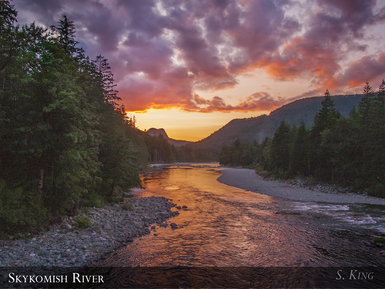
Sunset from Bridge over the north fork Skykomish River, Index, Washington
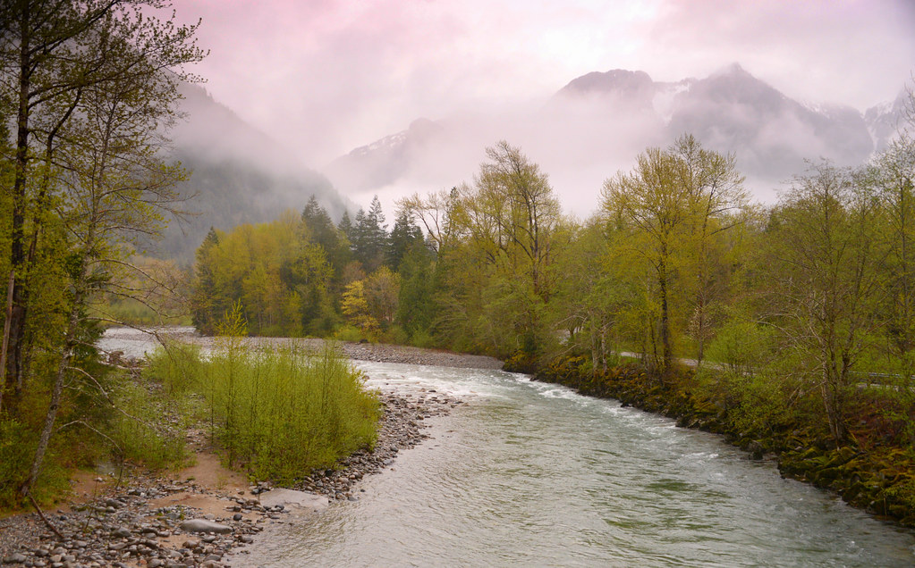
Skykomish River
Skykomish River, site

Mount Baring near sunset 36/52
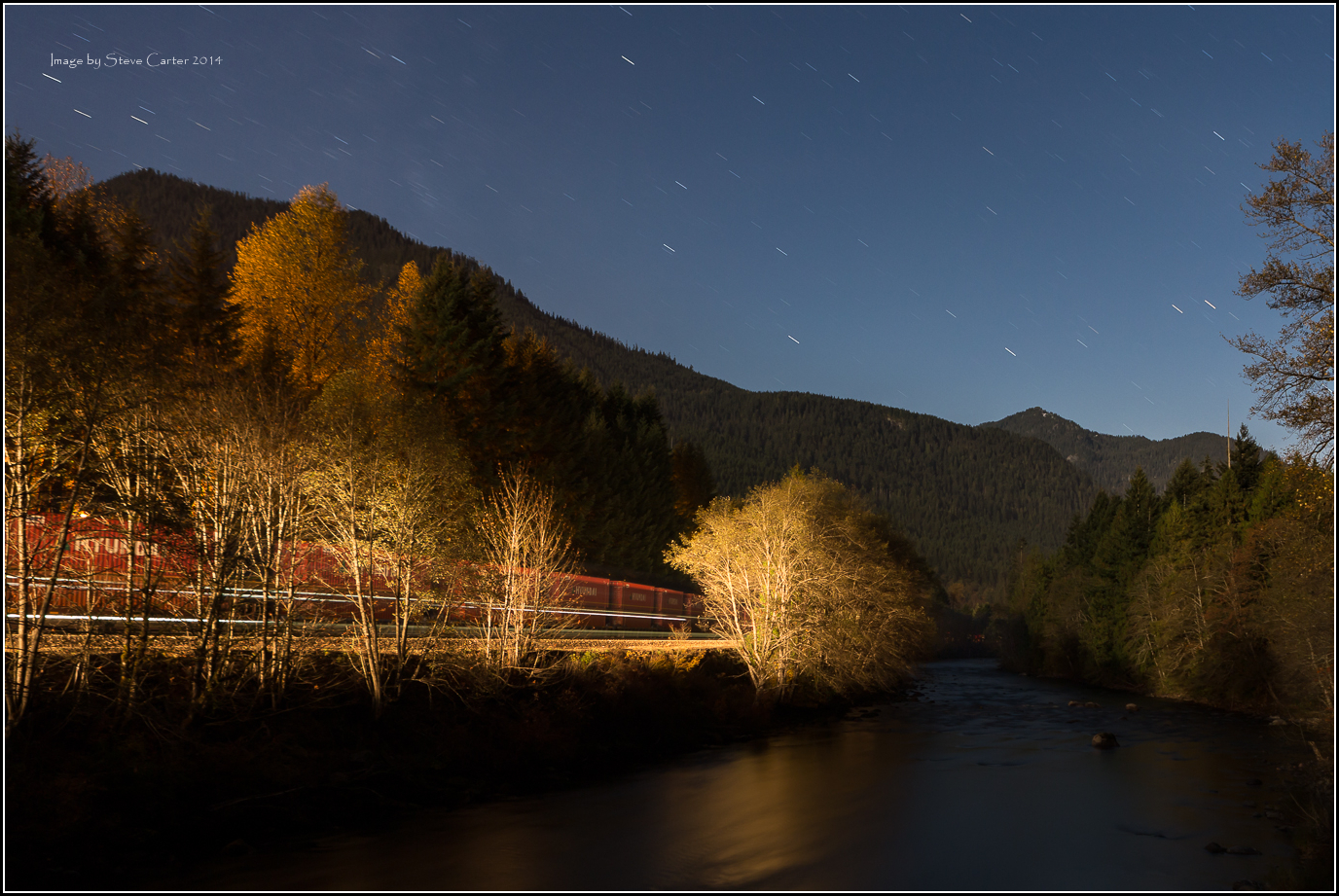
BNSF MOW- Surface Crew

BNSF MOW- Surface Crew
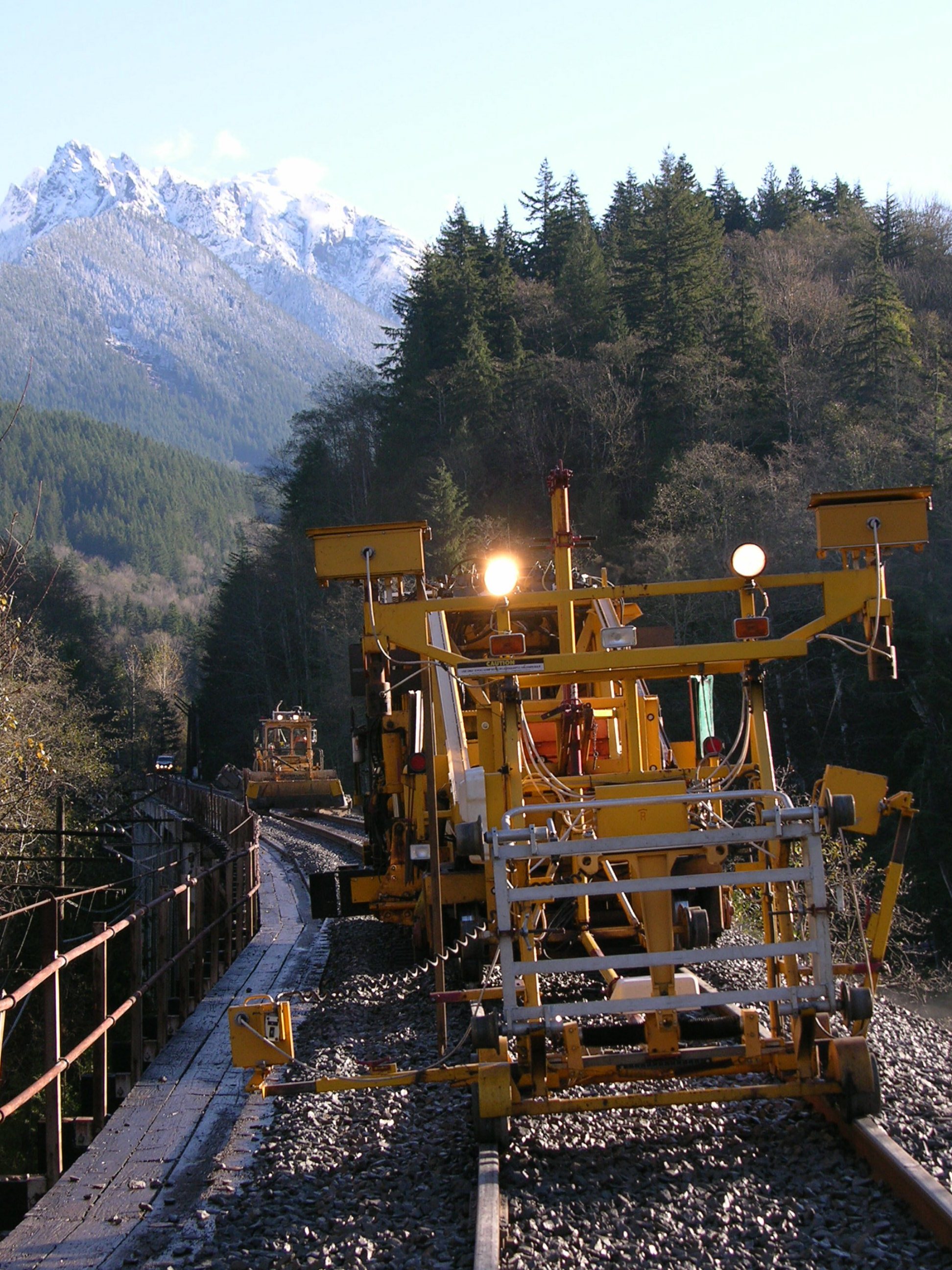
BNSF Surface Crew

sunset at mt index. lake serene. washington. I climbed to the top of the east ridge through the thickest brush for this.
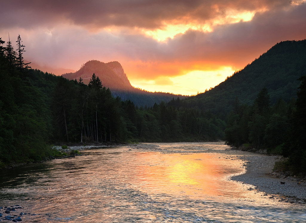
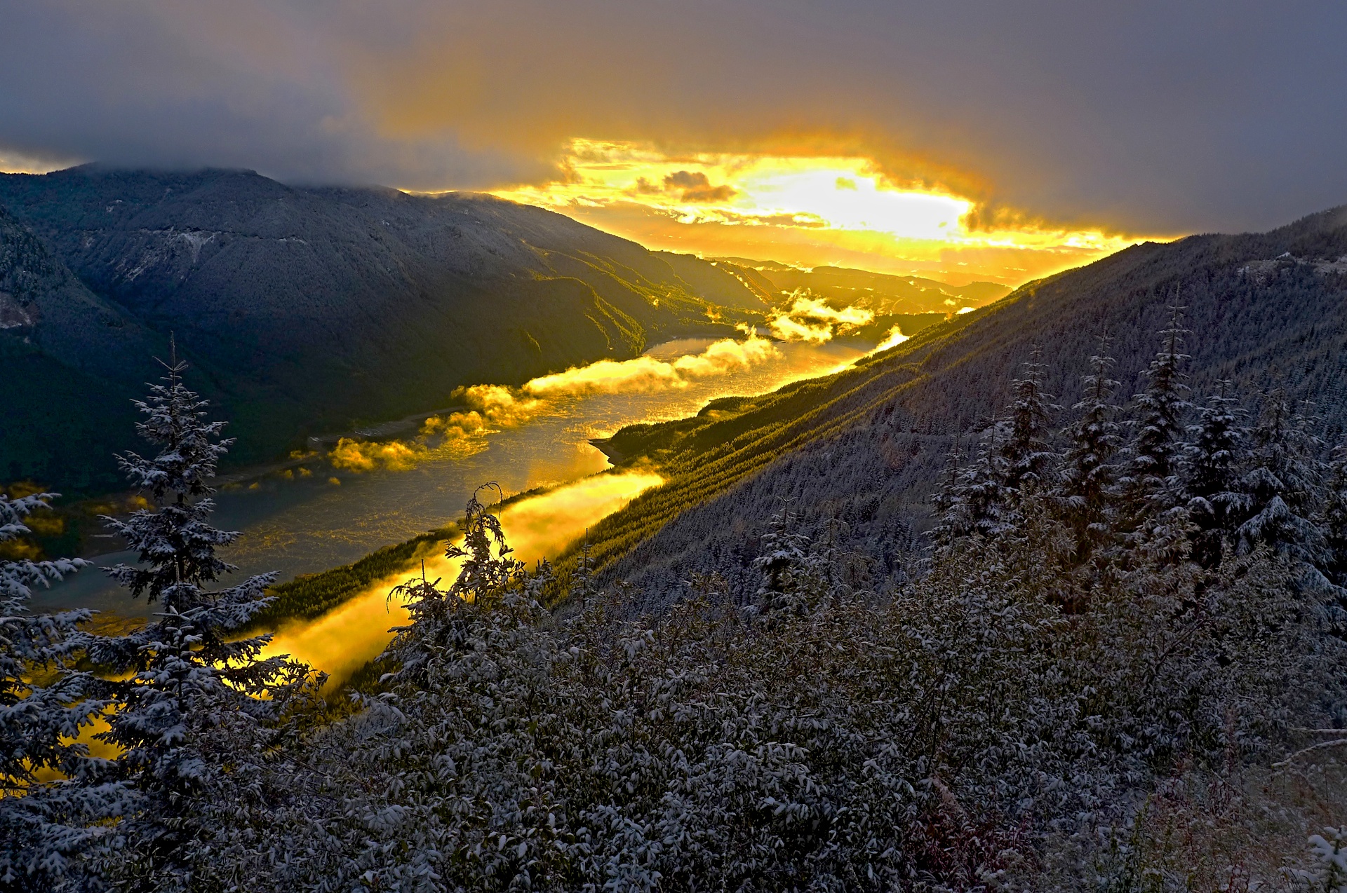
Skykomish river sunset

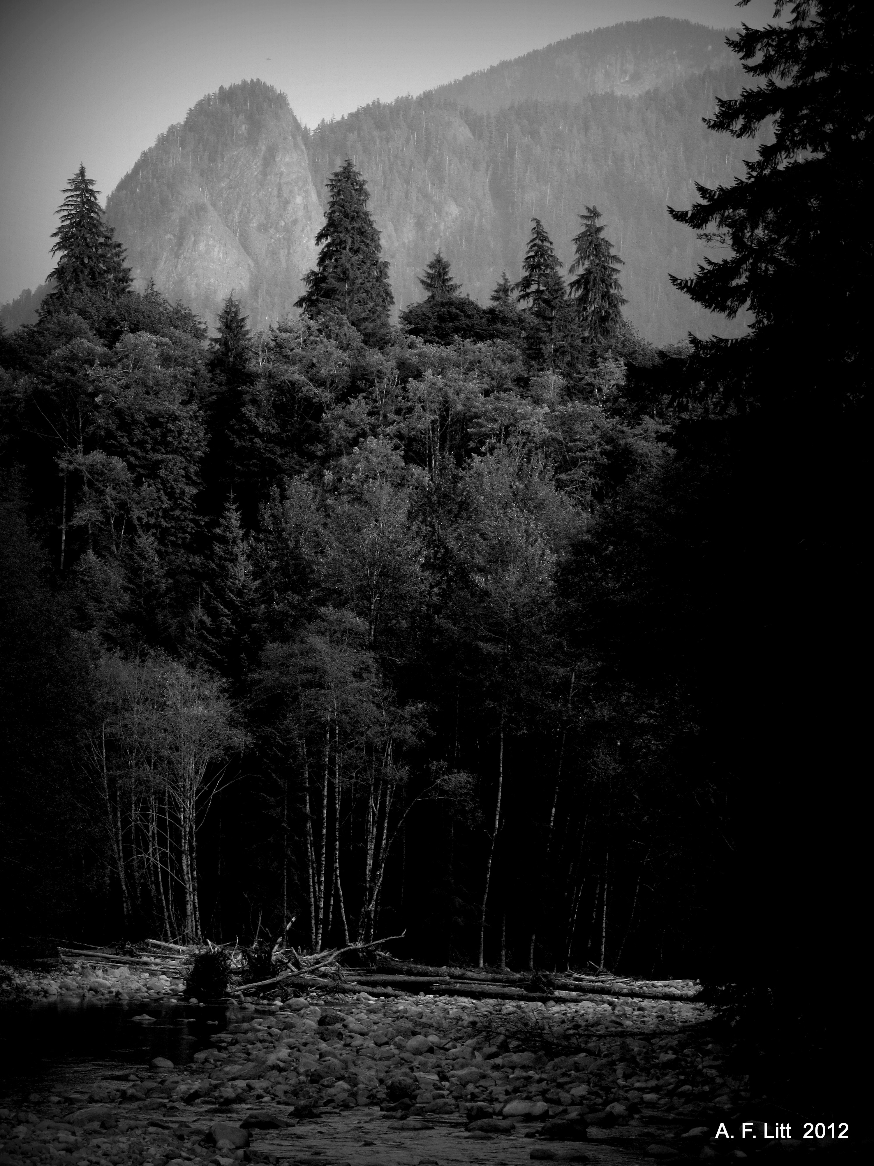
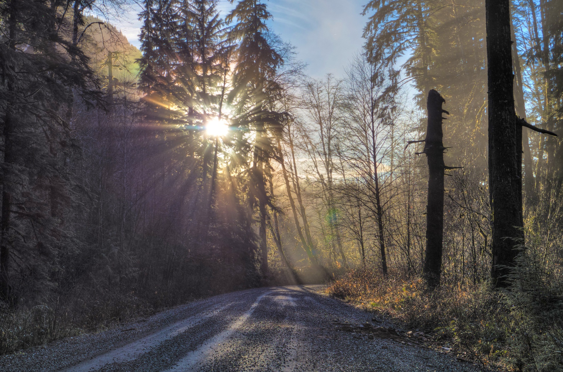
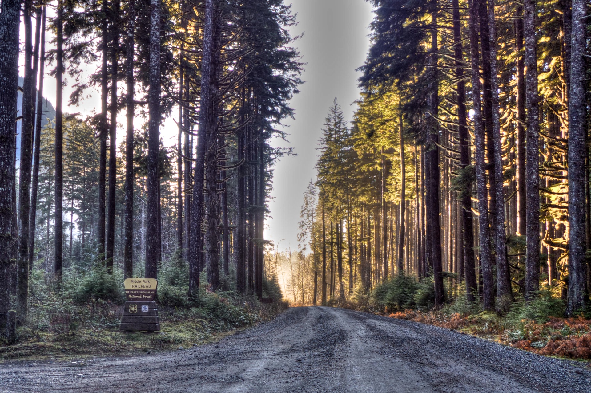
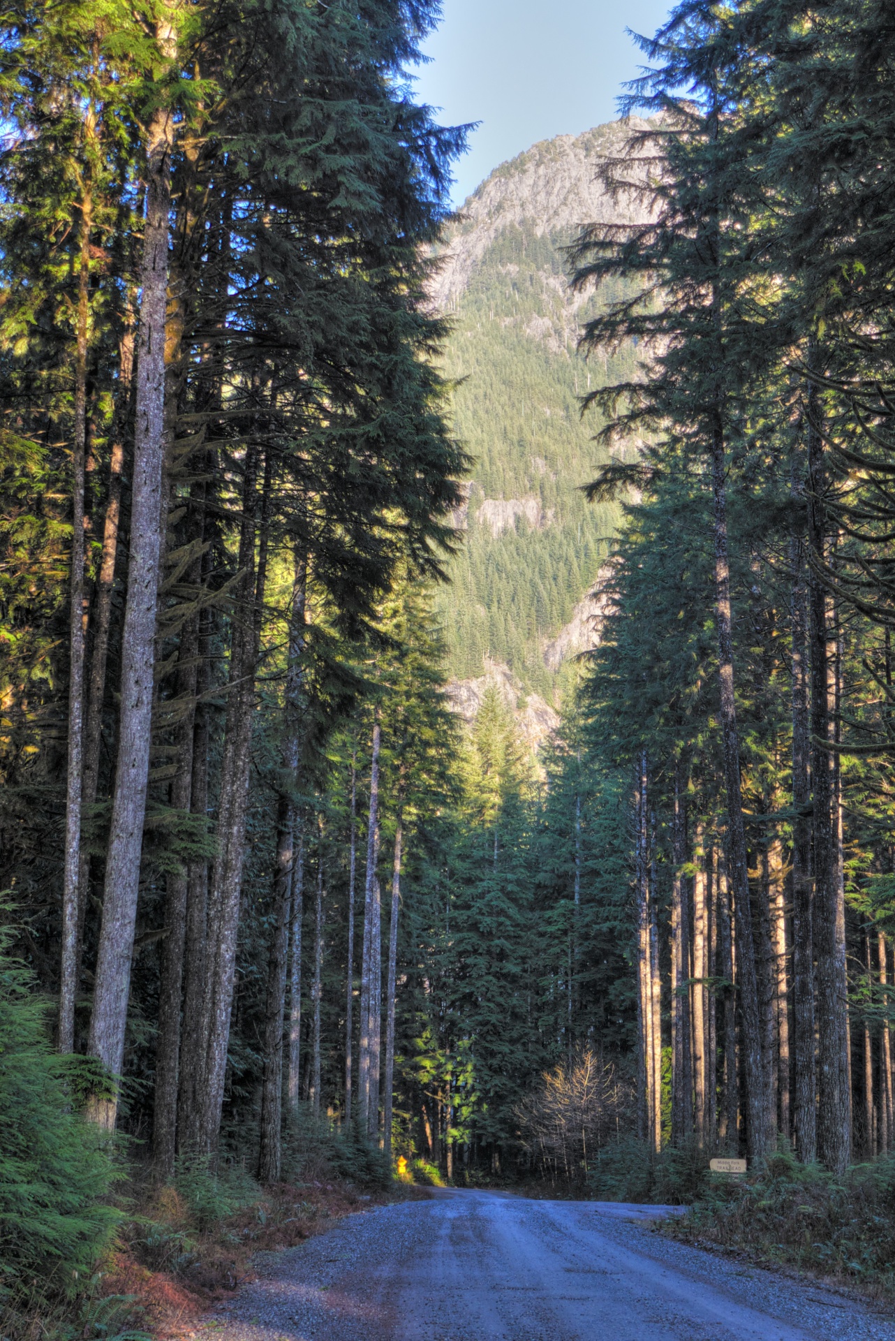
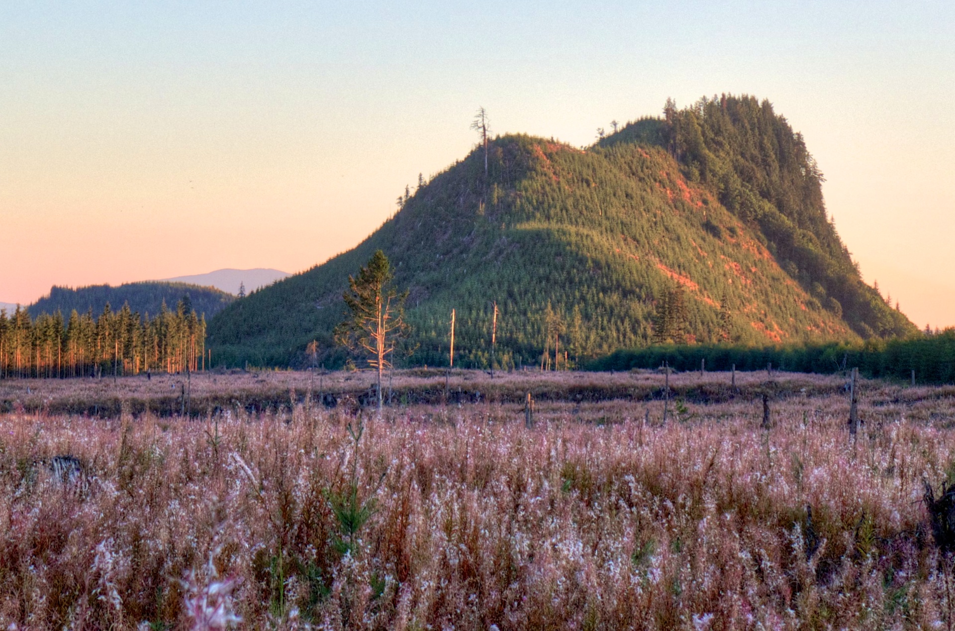
Middle Fork sunset
2012-09-06
Under the Noon Sun
Middle Fork sunset
Middle Fork sunset
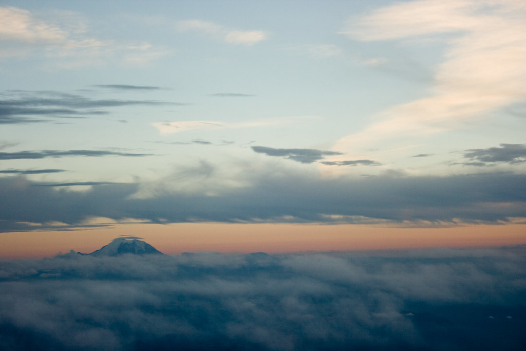
Mt. Rainier
Middle Fork sunset
Appomattox and Infrared
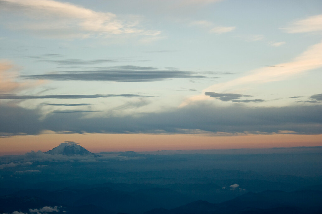
Mt. Rainier
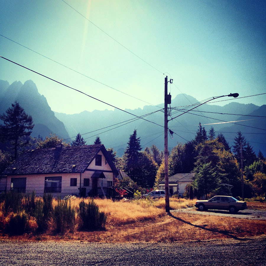
Meet at Skykomish
Morpheus Peak
Sunset Falls, Skykomish River
アメリカ合衆国 ワシントン州 シアトル=タコマ=ベルビュー, WAの地図
別の場所を検索
近所の場所
アメリカ合衆国 ワシントン州 バーリング
アメリカ合衆国 〒 ワシントン州 ハルフォード
US-2, Sultan, WA アメリカ合衆国
アメリカ合衆国 〒 ワシントン州 イーグル滝
Mt Index River Rd, Gold Bar, WA アメリカ合衆国
アメリカ合衆国 〒 ワシントン州 グロットー
アメリカ合衆国 〒 ワシントン州 バーリング山
NE Old Cascade Hwy, Skykomish, WA アメリカ合衆国
アメリカ合衆国 〒 ワシントン州 スカイコミッシュ
アメリカ合衆国 〒 ワシントン州 タウンセンド山
アメリカ合衆国 〒 ワシントン州 イーグル・ロック
SE 76th St, Snoqualmie, WA アメリカ合衆国
アメリカ合衆国 〒 ワシントン州 メイソン湖
Denny Creek Trail, Washington アメリカ合衆国デニー・クリーク・トレイル
Tinkham Rd, North Bend, WA アメリカ合衆国
アメリカ合衆国 〒 ワシントン州 グラニット山
SE th St, North Bend, WA アメリカ合衆国
NF-, North Bend, WA アメリカ合衆国Granite Mountain Lookout
SE th Ct, North Bend, WA アメリカ合衆国
SE th Pl, North Bend, WA アメリカ合衆国
最近の検索
- アメリカ合衆国 アラスカ州 レッド・ドッグ・マイン日の出日の入り時間
- Am bhf, Borken, ドイツアム・バーンホーフ日の出日の入り時間
- 4th St E, Sonoma, CA, USA日の出日の入り時間
- Oakland Ave, Williamsport, PA アメリカ合衆国日の出日の入り時間
- Via Roma, Pieranica CR, イタリアローマ通り日の出日の入り時間
- クロアチア 〒 ドゥブロブニク GradClock Tower of Dubrovnik日の出日の入り時間
- アルゼンチン チュブ州 トレリュー日の出日の入り時間
- Hartfords Bluff Cir, Mt Pleasant, SC アメリカ合衆国日の出日の入り時間
- 日本、熊本県熊本市北区日の出日の入り時間
- 中華人民共和国 福州市 平潭県 平潭島日の出日の入り時間