Seashore Dr, Atlantic, NC アメリカ合衆国シーショア・ドライブ日の出日の入り時間
Location: アメリカ合衆国 > ノース・カロライナ州 > カータレット > アメリカ合衆国 ノース・カロライナ州 アトランティック > アメリカ合衆国 〒 ノース・カロライナ州 アトランティック >
時間帯:
America/New_York
現地時間:
2025-07-07 20:04:16
経度:
-76.3491854
緯度:
34.875817
今日の日の出時刻:
05:59:18 AM
今日の日の入時刻:
08:21:55 PM
今日の日長:
14h 22m 37s
明日の日の出時刻:
05:59:52 AM
明日の日の入時刻:
08:21:39 PM
明日の日長:
14h 21m 47s
すべて表示する
| 日付 | 日出 | 日没 | 日長 |
|---|---|---|---|
| 2025年01月01日 | 07:13:11 AM | 05:05:50 PM | 9h 52m 39s |
| 2025年01月02日 | 07:13:18 AM | 05:06:37 PM | 9h 53m 19s |
| 2025年01月03日 | 07:13:24 AM | 05:07:26 PM | 9h 54m 2s |
| 2025年01月04日 | 07:13:29 AM | 05:08:15 PM | 9h 54m 46s |
| 2025年01月05日 | 07:13:31 AM | 05:09:06 PM | 9h 55m 35s |
| 2025年01月06日 | 07:13:31 AM | 05:09:57 PM | 9h 56m 26s |
| 2025年01月07日 | 07:13:30 AM | 05:10:49 PM | 9h 57m 19s |
| 2025年01月08日 | 07:13:26 AM | 05:11:43 PM | 9h 58m 17s |
| 2025年01月09日 | 07:13:21 AM | 05:12:37 PM | 9h 59m 16s |
| 2025年01月10日 | 07:13:14 AM | 05:13:31 PM | 10h 0m 17s |
| 2025年01月11日 | 07:13:04 AM | 05:14:27 PM | 10h 1m 23s |
| 2025年01月12日 | 07:12:53 AM | 05:15:23 PM | 10h 2m 30s |
| 2025年01月13日 | 07:12:40 AM | 05:16:20 PM | 10h 3m 40s |
| 2025年01月14日 | 07:12:25 AM | 05:17:17 PM | 10h 4m 52s |
| 2025年01月15日 | 07:12:09 AM | 05:18:15 PM | 10h 6m 6s |
| 2025年01月16日 | 07:11:50 AM | 05:19:13 PM | 10h 7m 23s |
| 2025年01月17日 | 07:11:30 AM | 05:20:12 PM | 10h 8m 42s |
| 2025年01月18日 | 07:11:07 AM | 05:21:11 PM | 10h 10m 4s |
| 2025年01月19日 | 07:10:43 AM | 05:22:11 PM | 10h 11m 28s |
| 2025年01月20日 | 07:10:17 AM | 05:23:11 PM | 10h 12m 54s |
| 2025年01月21日 | 07:09:49 AM | 05:24:11 PM | 10h 14m 22s |
| 2025年01月22日 | 07:09:20 AM | 05:25:11 PM | 10h 15m 51s |
| 2025年01月23日 | 07:08:49 AM | 05:26:12 PM | 10h 17m 23s |
| 2025年01月24日 | 07:08:16 AM | 05:27:12 PM | 10h 18m 56s |
| 2025年01月25日 | 07:07:41 AM | 05:28:13 PM | 10h 20m 32s |
| 2025年01月26日 | 07:07:04 AM | 05:29:14 PM | 10h 22m 10s |
| 2025年01月27日 | 07:06:26 AM | 05:30:15 PM | 10h 23m 49s |
| 2025年01月28日 | 07:05:47 AM | 05:31:16 PM | 10h 25m 29s |
| 2025年01月29日 | 07:05:05 AM | 05:32:17 PM | 10h 27m 12s |
| 2025年01月30日 | 07:04:22 AM | 05:33:17 PM | 10h 28m 55s |
| 2025年01月31日 | 07:03:38 AM | 05:34:18 PM | 10h 30m 40s |
| 2025年02月01日 | 07:02:52 AM | 05:35:19 PM | 10h 32m 27s |
| 2025年02月02日 | 07:02:04 AM | 05:36:20 PM | 10h 34m 16s |
| 2025年02月03日 | 07:01:15 AM | 05:37:20 PM | 10h 36m 5s |
| 2025年02月04日 | 07:00:25 AM | 05:38:20 PM | 10h 37m 55s |
| 2025年02月05日 | 06:59:33 AM | 05:39:20 PM | 10h 39m 47s |
| 2025年02月06日 | 06:58:39 AM | 05:40:20 PM | 10h 41m 41s |
| 2025年02月07日 | 06:57:45 AM | 05:41:20 PM | 10h 43m 35s |
| 2025年02月08日 | 06:56:49 AM | 05:42:19 PM | 10h 45m 30s |
| 2025年02月09日 | 06:55:51 AM | 05:43:19 PM | 10h 47m 28s |
| 2025年02月10日 | 06:54:53 AM | 05:44:18 PM | 10h 49m 25s |
| 2025年02月11日 | 06:53:53 AM | 05:45:16 PM | 10h 51m 23s |
| 2025年02月12日 | 06:52:52 AM | 05:46:15 PM | 10h 53m 23s |
| 2025年02月13日 | 06:51:50 AM | 05:47:13 PM | 10h 55m 23s |
| 2025年02月14日 | 06:50:46 AM | 05:48:10 PM | 10h 57m 24s |
| 2025年02月15日 | 06:49:42 AM | 05:49:08 PM | 10h 59m 26s |
| 2025年02月16日 | 06:48:36 AM | 05:50:05 PM | 11h 1m 29s |
| 2025年02月17日 | 06:47:29 AM | 05:51:02 PM | 11h 3m 33s |
| 2025年02月18日 | 06:46:22 AM | 05:51:58 PM | 11h 5m 36s |
| 2025年02月19日 | 06:45:13 AM | 05:52:54 PM | 11h 7m 41s |
| 2025年02月20日 | 06:44:03 AM | 05:53:50 PM | 11h 9m 47s |
| 2025年02月21日 | 06:42:53 AM | 05:54:45 PM | 11h 11m 52s |
| 2025年02月22日 | 06:41:41 AM | 05:55:41 PM | 11h 14m 0s |
| 2025年02月23日 | 06:40:29 AM | 05:56:35 PM | 11h 16m 6s |
| 2025年02月24日 | 06:39:16 AM | 05:57:30 PM | 11h 18m 14s |
| 2025年02月25日 | 06:38:02 AM | 05:58:24 PM | 11h 20m 22s |
| 2025年02月26日 | 06:36:47 AM | 05:59:17 PM | 11h 22m 30s |
| 2025年02月27日 | 06:35:32 AM | 06:00:11 PM | 11h 24m 39s |
| 2025年02月28日 | 06:34:16 AM | 06:01:04 PM | 11h 26m 48s |
| 2025年03月01日 | 06:32:59 AM | 06:01:57 PM | 11h 28m 58s |
| 2025年03月02日 | 06:31:41 AM | 06:02:49 PM | 11h 31m 8s |
| 2025年03月03日 | 06:30:23 AM | 06:03:41 PM | 11h 33m 18s |
| 2025年03月04日 | 06:29:05 AM | 06:04:33 PM | 11h 35m 28s |
| 2025年03月05日 | 06:27:45 AM | 06:05:25 PM | 11h 37m 40s |
| 2025年03月06日 | 06:26:26 AM | 06:06:16 PM | 11h 39m 50s |
| 2025年03月07日 | 06:25:05 AM | 06:07:07 PM | 11h 42m 2s |
| 2025年03月08日 | 06:23:45 AM | 06:07:58 PM | 11h 44m 13s |
| 2025年03月09日 | 07:22:27 AM | 07:08:46 PM | 11h 46m 19s |
| 2025年03月10日 | 07:21:05 AM | 07:09:36 PM | 11h 48m 31s |
| 2025年03月11日 | 07:19:44 AM | 07:10:26 PM | 11h 50m 42s |
| 2025年03月12日 | 07:18:21 AM | 07:11:16 PM | 11h 52m 55s |
| 2025年03月13日 | 07:16:59 AM | 07:12:05 PM | 11h 55m 6s |
| 2025年03月14日 | 07:15:36 AM | 07:12:55 PM | 11h 57m 19s |
| 2025年03月15日 | 07:14:13 AM | 07:13:44 PM | 11h 59m 31s |
| 2025年03月16日 | 07:12:50 AM | 07:14:33 PM | 12h 1m 43s |
| 2025年03月17日 | 07:11:26 AM | 07:15:21 PM | 12h 3m 55s |
| 2025年03月18日 | 07:10:02 AM | 07:16:10 PM | 12h 6m 8s |
| 2025年03月19日 | 07:08:39 AM | 07:16:58 PM | 12h 8m 19s |
| 2025年03月20日 | 07:07:15 AM | 07:17:47 PM | 12h 10m 32s |
| 2025年03月21日 | 07:05:51 AM | 07:18:35 PM | 12h 12m 44s |
| 2025年03月22日 | 07:04:27 AM | 07:19:23 PM | 12h 14m 56s |
| 2025年03月23日 | 07:03:03 AM | 07:20:11 PM | 12h 17m 8s |
| 2025年03月24日 | 07:01:39 AM | 07:20:59 PM | 12h 19m 20s |
| 2025年03月25日 | 07:00:15 AM | 07:21:46 PM | 12h 21m 31s |
| 2025年03月26日 | 06:58:51 AM | 07:22:34 PM | 12h 23m 43s |
| 2025年03月27日 | 06:57:27 AM | 07:23:22 PM | 12h 25m 55s |
| 2025年03月28日 | 06:56:03 AM | 07:24:09 PM | 12h 28m 6s |
| 2025年03月29日 | 06:54:40 AM | 07:24:57 PM | 12h 30m 17s |
| 2025年03月30日 | 06:53:17 AM | 07:25:44 PM | 12h 32m 27s |
| 2025年03月31日 | 06:51:54 AM | 07:26:32 PM | 12h 34m 38s |
| 2025年04月01日 | 06:50:31 AM | 07:27:19 PM | 12h 36m 48s |
| 2025年04月02日 | 06:49:08 AM | 07:28:07 PM | 12h 38m 59s |
| 2025年04月03日 | 06:47:46 AM | 07:28:54 PM | 12h 41m 8s |
| 2025年04月04日 | 06:46:24 AM | 07:29:41 PM | 12h 43m 17s |
| 2025年04月05日 | 06:45:02 AM | 07:30:29 PM | 12h 45m 27s |
| 2025年04月06日 | 06:43:41 AM | 07:31:16 PM | 12h 47m 35s |
| 2025年04月07日 | 06:42:20 AM | 07:32:04 PM | 12h 49m 44s |
| 2025年04月08日 | 06:41:00 AM | 07:32:51 PM | 12h 51m 51s |
| 2025年04月09日 | 06:39:40 AM | 07:33:39 PM | 12h 53m 59s |
| 2025年04月10日 | 06:38:21 AM | 07:34:27 PM | 12h 56m 6s |
| 2025年04月11日 | 06:37:02 AM | 07:35:14 PM | 12h 58m 12s |
| 2025年04月12日 | 06:35:44 AM | 07:36:02 PM | 13h 0m 18s |
| 2025年04月13日 | 06:34:26 AM | 07:36:50 PM | 13h 2m 24s |
| 2025年04月14日 | 06:33:09 AM | 07:37:38 PM | 13h 4m 29s |
| 2025年04月15日 | 06:31:53 AM | 07:38:26 PM | 13h 6m 33s |
| 2025年04月16日 | 06:30:37 AM | 07:39:14 PM | 13h 8m 37s |
| 2025年04月17日 | 06:29:23 AM | 07:40:02 PM | 13h 10m 39s |
| 2025年04月18日 | 06:28:08 AM | 07:40:50 PM | 13h 12m 42s |
| 2025年04月19日 | 06:26:55 AM | 07:41:38 PM | 13h 14m 43s |
| 2025年04月20日 | 06:25:42 AM | 07:42:27 PM | 13h 16m 45s |
| 2025年04月21日 | 06:24:30 AM | 07:43:15 PM | 13h 18m 45s |
| 2025年04月22日 | 06:23:19 AM | 07:44:03 PM | 13h 20m 44s |
| 2025年04月23日 | 06:22:09 AM | 07:44:52 PM | 13h 22m 43s |
| 2025年04月24日 | 06:21:00 AM | 07:45:40 PM | 13h 24m 40s |
| 2025年04月25日 | 06:19:52 AM | 07:46:29 PM | 13h 26m 37s |
| 2025年04月26日 | 06:18:45 AM | 07:47:17 PM | 13h 28m 32s |
| 2025年04月27日 | 06:17:38 AM | 07:48:06 PM | 13h 30m 28s |
| 2025年04月28日 | 06:16:33 AM | 07:48:54 PM | 13h 32m 21s |
| 2025年04月29日 | 06:15:29 AM | 07:49:43 PM | 13h 34m 14s |
| 2025年04月30日 | 06:14:26 AM | 07:50:32 PM | 13h 36m 6s |
| 2025年05月01日 | 06:13:24 AM | 07:51:20 PM | 13h 37m 56s |
| 2025年05月02日 | 06:12:23 AM | 07:52:09 PM | 13h 39m 46s |
| 2025年05月03日 | 06:11:23 AM | 07:52:57 PM | 13h 41m 34s |
| 2025年05月04日 | 06:10:24 AM | 07:53:46 PM | 13h 43m 22s |
| 2025年05月05日 | 06:09:27 AM | 07:54:34 PM | 13h 45m 7s |
| 2025年05月06日 | 06:08:31 AM | 07:55:22 PM | 13h 46m 51s |
| 2025年05月07日 | 06:07:36 AM | 07:56:10 PM | 13h 48m 34s |
| 2025年05月08日 | 06:06:42 AM | 07:56:58 PM | 13h 50m 16s |
| 2025年05月09日 | 06:05:50 AM | 07:57:46 PM | 13h 51m 56s |
| 2025年05月10日 | 06:04:59 AM | 07:58:34 PM | 13h 53m 35s |
| 2025年05月11日 | 06:04:09 AM | 07:59:21 PM | 13h 55m 12s |
| 2025年05月12日 | 06:03:21 AM | 08:00:08 PM | 13h 56m 47s |
| 2025年05月13日 | 06:02:34 AM | 08:00:55 PM | 13h 58m 21s |
| 2025年05月14日 | 06:01:49 AM | 08:01:42 PM | 13h 59m 53s |
| 2025年05月15日 | 06:01:05 AM | 08:02:28 PM | 14h 1m 23s |
| 2025年05月16日 | 06:00:22 AM | 08:03:14 PM | 14h 2m 52s |
| 2025年05月17日 | 05:59:41 AM | 08:04:00 PM | 14h 4m 19s |
| 2025年05月18日 | 05:59:01 AM | 08:04:45 PM | 14h 5m 44s |
| 2025年05月19日 | 05:58:23 AM | 08:05:30 PM | 14h 7m 7s |
| 2025年05月20日 | 05:57:47 AM | 08:06:14 PM | 14h 8m 27s |
| 2025年05月21日 | 05:57:12 AM | 08:06:58 PM | 14h 9m 46s |
| 2025年05月22日 | 05:56:38 AM | 08:07:42 PM | 14h 11m 4s |
| 2025年05月23日 | 05:56:06 AM | 08:08:25 PM | 14h 12m 19s |
| 2025年05月24日 | 05:55:36 AM | 08:09:07 PM | 14h 13m 31s |
| 2025年05月25日 | 05:55:07 AM | 08:09:48 PM | 14h 14m 41s |
| 2025年05月26日 | 05:54:40 AM | 08:10:29 PM | 14h 15m 49s |
| 2025年05月27日 | 05:54:15 AM | 08:11:10 PM | 14h 16m 55s |
| 2025年05月28日 | 05:53:51 AM | 08:11:49 PM | 14h 17m 58s |
| 2025年05月29日 | 05:53:29 AM | 08:12:28 PM | 14h 18m 59s |
| 2025年05月30日 | 05:53:08 AM | 08:13:06 PM | 14h 19m 58s |
| 2025年05月31日 | 05:52:49 AM | 08:13:43 PM | 14h 20m 54s |
| 2025年06月01日 | 05:52:32 AM | 08:14:20 PM | 14h 21m 48s |
| 2025年06月02日 | 05:52:16 AM | 08:14:55 PM | 14h 22m 39s |
| 2025年06月03日 | 05:52:02 AM | 08:15:30 PM | 14h 23m 28s |
| 2025年06月04日 | 05:51:50 AM | 08:16:03 PM | 14h 24m 13s |
| 2025年06月05日 | 05:51:39 AM | 08:16:36 PM | 14h 24m 57s |
| 2025年06月06日 | 05:51:30 AM | 08:17:07 PM | 14h 25m 37s |
| 2025年06月07日 | 05:51:23 AM | 08:17:37 PM | 14h 26m 14s |
| 2025年06月08日 | 05:51:17 AM | 08:18:07 PM | 14h 26m 50s |
| 2025年06月09日 | 05:51:13 AM | 08:18:35 PM | 14h 27m 22s |
| 2025年06月10日 | 05:51:10 AM | 08:19:02 PM | 14h 27m 52s |
| 2025年06月11日 | 05:51:09 AM | 08:19:27 PM | 14h 28m 18s |
| 2025年06月12日 | 05:51:10 AM | 08:19:52 PM | 14h 28m 42s |
| 2025年06月13日 | 05:51:12 AM | 08:20:15 PM | 14h 29m 3s |
| 2025年06月14日 | 05:51:16 AM | 08:20:37 PM | 14h 29m 21s |
| 2025年06月15日 | 05:51:21 AM | 08:20:57 PM | 14h 29m 36s |
| 2025年06月16日 | 05:51:28 AM | 08:21:16 PM | 14h 29m 48s |
| 2025年06月17日 | 05:51:36 AM | 08:21:34 PM | 14h 29m 58s |
| 2025年06月18日 | 05:51:46 AM | 08:21:50 PM | 14h 30m 4s |
| 2025年06月19日 | 05:51:57 AM | 08:22:05 PM | 14h 30m 8s |
| 2025年06月20日 | 05:52:10 AM | 08:22:19 PM | 14h 30m 9s |
| 2025年06月21日 | 05:52:24 AM | 08:22:31 PM | 14h 30m 7s |
| 2025年06月22日 | 05:52:40 AM | 08:22:41 PM | 14h 30m 1s |
| 2025年06月23日 | 05:52:57 AM | 08:22:50 PM | 14h 29m 53s |
| 2025年06月24日 | 05:53:15 AM | 08:22:57 PM | 14h 29m 42s |
| 2025年06月25日 | 05:53:35 AM | 08:23:03 PM | 14h 29m 28s |
| 2025年06月26日 | 05:53:56 AM | 08:23:07 PM | 14h 29m 11s |
| 2025年06月27日 | 05:54:18 AM | 08:23:09 PM | 14h 28m 51s |
| 2025年06月28日 | 05:54:41 AM | 08:23:10 PM | 14h 28m 29s |
| 2025年06月29日 | 05:55:06 AM | 08:23:09 PM | 14h 28m 3s |
| 2025年06月30日 | 05:55:31 AM | 08:23:07 PM | 14h 27m 36s |
| 2025年07月01日 | 05:55:58 AM | 08:23:03 PM | 14h 27m 5s |
| 2025年07月02日 | 05:56:26 AM | 08:22:57 PM | 14h 26m 31s |
| 2025年07月03日 | 05:56:55 AM | 08:22:50 PM | 14h 25m 55s |
| 2025年07月04日 | 05:57:25 AM | 08:22:41 PM | 14h 25m 16s |
| 2025年07月05日 | 05:57:56 AM | 08:22:30 PM | 14h 24m 34s |
| 2025年07月06日 | 05:58:28 AM | 08:22:17 PM | 14h 23m 49s |
| 2025年07月07日 | 05:59:01 AM | 08:22:03 PM | 14h 23m 2s |
| 2025年07月08日 | 05:59:35 AM | 08:21:47 PM | 14h 22m 12s |
| 2025年07月09日 | 06:00:09 AM | 08:21:30 PM | 14h 21m 21s |
| 2025年07月10日 | 06:00:45 AM | 08:21:10 PM | 14h 20m 25s |
| 2025年07月11日 | 06:01:21 AM | 08:20:50 PM | 14h 19m 29s |
| 2025年07月12日 | 06:01:58 AM | 08:20:27 PM | 14h 18m 29s |
| 2025年07月13日 | 06:02:35 AM | 08:20:03 PM | 14h 17m 28s |
| 2025年07月14日 | 06:03:13 AM | 08:19:37 PM | 14h 16m 24s |
| 2025年07月15日 | 06:03:52 AM | 08:19:09 PM | 14h 15m 17s |
| 2025年07月16日 | 06:04:32 AM | 08:18:40 PM | 14h 14m 8s |
| 2025年07月17日 | 06:05:12 AM | 08:18:09 PM | 14h 12m 57s |
| 2025年07月18日 | 06:05:52 AM | 08:17:37 PM | 14h 11m 45s |
| 2025年07月19日 | 06:06:34 AM | 08:17:03 PM | 14h 10m 29s |
| 2025年07月20日 | 06:07:15 AM | 08:16:27 PM | 14h 9m 12s |
| 2025年07月21日 | 06:07:57 AM | 08:15:50 PM | 14h 7m 53s |
| 2025年07月22日 | 06:08:39 AM | 08:15:11 PM | 14h 6m 32s |
| 2025年07月23日 | 06:09:22 AM | 08:14:31 PM | 14h 5m 9s |
| 2025年07月24日 | 06:10:05 AM | 08:13:49 PM | 14h 3m 44s |
| 2025年07月25日 | 06:10:49 AM | 08:13:05 PM | 14h 2m 16s |
| 2025年07月26日 | 06:11:32 AM | 08:12:21 PM | 14h 0m 49s |
| 2025年07月27日 | 06:12:16 AM | 08:11:34 PM | 13h 59m 18s |
| 2025年07月28日 | 06:13:00 AM | 08:10:46 PM | 13h 57m 46s |
| 2025年07月29日 | 06:13:45 AM | 08:09:57 PM | 13h 56m 12s |
| 2025年07月30日 | 06:14:29 AM | 08:09:07 PM | 13h 54m 38s |
| 2025年07月31日 | 06:15:14 AM | 08:08:15 PM | 13h 53m 1s |
| 2025年08月01日 | 06:15:59 AM | 08:07:22 PM | 13h 51m 23s |
| 2025年08月02日 | 06:16:44 AM | 08:06:27 PM | 13h 49m 43s |
| 2025年08月03日 | 06:17:29 AM | 08:05:31 PM | 13h 48m 2s |
| 2025年08月04日 | 06:18:14 AM | 08:04:34 PM | 13h 46m 20s |
| 2025年08月05日 | 06:18:59 AM | 08:03:35 PM | 13h 44m 36s |
| 2025年08月06日 | 06:19:45 AM | 08:02:36 PM | 13h 42m 51s |
| 2025年08月07日 | 06:20:30 AM | 08:01:35 PM | 13h 41m 5s |
| 2025年08月08日 | 06:21:15 AM | 08:00:33 PM | 13h 39m 18s |
| 2025年08月09日 | 06:22:01 AM | 07:59:29 PM | 13h 37m 28s |
| 2025年08月10日 | 06:22:46 AM | 07:58:25 PM | 13h 35m 39s |
| 2025年08月11日 | 06:23:31 AM | 07:57:20 PM | 13h 33m 49s |
| 2025年08月12日 | 06:24:16 AM | 07:56:13 PM | 13h 31m 57s |
| 2025年08月13日 | 06:25:01 AM | 07:55:06 PM | 13h 30m 5s |
| 2025年08月14日 | 06:25:46 AM | 07:53:57 PM | 13h 28m 11s |
| 2025年08月15日 | 06:26:31 AM | 07:52:48 PM | 13h 26m 17s |
| 2025年08月16日 | 06:27:16 AM | 07:51:37 PM | 13h 24m 21s |
| 2025年08月17日 | 06:28:01 AM | 07:50:26 PM | 13h 22m 25s |
| 2025年08月18日 | 06:28:46 AM | 07:49:13 PM | 13h 20m 27s |
| 2025年08月19日 | 06:29:31 AM | 07:48:00 PM | 13h 18m 29s |
| 2025年08月20日 | 06:30:15 AM | 07:46:46 PM | 13h 16m 31s |
| 2025年08月21日 | 06:31:00 AM | 07:45:31 PM | 13h 14m 31s |
| 2025年08月22日 | 06:31:44 AM | 07:44:15 PM | 13h 12m 31s |
| 2025年08月23日 | 06:32:29 AM | 07:42:59 PM | 13h 10m 30s |
| 2025年08月24日 | 06:33:13 AM | 07:41:42 PM | 13h 8m 29s |
| 2025年08月25日 | 06:33:57 AM | 07:40:24 PM | 13h 6m 27s |
| 2025年08月26日 | 06:34:41 AM | 07:39:05 PM | 13h 4m 24s |
| 2025年08月27日 | 06:35:25 AM | 07:37:46 PM | 13h 2m 21s |
| 2025年08月28日 | 06:36:09 AM | 07:36:26 PM | 13h 0m 17s |
| 2025年08月29日 | 06:36:52 AM | 07:35:06 PM | 12h 58m 14s |
| 2025年08月30日 | 06:37:36 AM | 07:33:45 PM | 12h 56m 9s |
| 2025年08月31日 | 06:38:19 AM | 07:32:23 PM | 12h 54m 4s |
| 2025年09月01日 | 06:39:03 AM | 07:31:01 PM | 12h 51m 58s |
| 2025年09月02日 | 06:39:46 AM | 07:29:38 PM | 12h 49m 52s |
| 2025年09月03日 | 06:40:30 AM | 07:28:15 PM | 12h 47m 45s |
| 2025年09月04日 | 06:41:13 AM | 07:26:52 PM | 12h 45m 39s |
| 2025年09月05日 | 06:41:56 AM | 07:25:28 PM | 12h 43m 32s |
| 2025年09月06日 | 06:42:40 AM | 07:24:04 PM | 12h 41m 24s |
| 2025年09月07日 | 06:43:23 AM | 07:22:39 PM | 12h 39m 16s |
| 2025年09月08日 | 06:44:06 AM | 07:21:15 PM | 12h 37m 9s |
| 2025年09月09日 | 06:44:49 AM | 07:19:50 PM | 12h 35m 1s |
| 2025年09月10日 | 06:45:32 AM | 07:18:24 PM | 12h 32m 52s |
| 2025年09月11日 | 06:46:15 AM | 07:16:59 PM | 12h 30m 44s |
| 2025年09月12日 | 06:46:59 AM | 07:15:33 PM | 12h 28m 34s |
| 2025年09月13日 | 06:47:42 AM | 07:14:07 PM | 12h 26m 25s |
| 2025年09月14日 | 06:48:25 AM | 07:12:41 PM | 12h 24m 16s |
| 2025年09月15日 | 06:49:08 AM | 07:11:15 PM | 12h 22m 7s |
| 2025年09月16日 | 06:49:52 AM | 07:09:48 PM | 12h 19m 56s |
| 2025年09月17日 | 06:50:35 AM | 07:08:22 PM | 12h 17m 47s |
| 2025年09月18日 | 06:51:19 AM | 07:06:56 PM | 12h 15m 37s |
| 2025年09月19日 | 06:52:02 AM | 07:05:29 PM | 12h 13m 27s |
| 2025年09月20日 | 06:52:46 AM | 07:04:03 PM | 12h 11m 17s |
| 2025年09月21日 | 06:53:30 AM | 07:02:37 PM | 12h 9m 7s |
| 2025年09月22日 | 06:54:14 AM | 07:01:10 PM | 12h 6m 56s |
| 2025年09月23日 | 06:54:58 AM | 06:59:44 PM | 12h 4m 46s |
| 2025年09月24日 | 06:55:42 AM | 06:58:19 PM | 12h 2m 37s |
| 2025年09月25日 | 06:56:27 AM | 06:56:53 PM | 12h 0m 26s |
| 2025年09月26日 | 06:57:12 AM | 06:55:27 PM | 11h 58m 15s |
| 2025年09月27日 | 06:57:56 AM | 06:54:02 PM | 11h 56m 6s |
| 2025年09月28日 | 06:58:42 AM | 06:52:37 PM | 11h 53m 55s |
| 2025年09月29日 | 06:59:27 AM | 06:51:12 PM | 11h 51m 45s |
| 2025年09月30日 | 07:00:12 AM | 06:49:48 PM | 11h 49m 36s |
| 2025年10月01日 | 07:00:58 AM | 06:48:24 PM | 11h 47m 26s |
| 2025年10月02日 | 07:01:44 AM | 06:47:00 PM | 11h 45m 16s |
| 2025年10月03日 | 07:02:30 AM | 06:45:37 PM | 11h 43m 7s |
| 2025年10月04日 | 07:03:17 AM | 06:44:14 PM | 11h 40m 57s |
| 2025年10月05日 | 07:04:04 AM | 06:42:52 PM | 11h 38m 48s |
| 2025年10月06日 | 07:04:51 AM | 06:41:30 PM | 11h 36m 39s |
| 2025年10月07日 | 07:05:38 AM | 06:40:09 PM | 11h 34m 31s |
| 2025年10月08日 | 07:06:26 AM | 06:38:48 PM | 11h 32m 22s |
| 2025年10月09日 | 07:07:14 AM | 06:37:28 PM | 11h 30m 14s |
| 2025年10月10日 | 07:08:02 AM | 06:36:08 PM | 11h 28m 6s |
| 2025年10月11日 | 07:08:51 AM | 06:34:49 PM | 11h 25m 58s |
| 2025年10月12日 | 07:09:40 AM | 06:33:31 PM | 11h 23m 51s |
| 2025年10月13日 | 07:10:29 AM | 06:32:13 PM | 11h 21m 44s |
| 2025年10月14日 | 07:11:19 AM | 06:30:57 PM | 11h 19m 38s |
| 2025年10月15日 | 07:12:09 AM | 06:29:41 PM | 11h 17m 32s |
| 2025年10月16日 | 07:13:00 AM | 06:28:26 PM | 11h 15m 26s |
| 2025年10月17日 | 07:13:51 AM | 06:27:11 PM | 11h 13m 20s |
| 2025年10月18日 | 07:14:42 AM | 06:25:58 PM | 11h 11m 16s |
| 2025年10月19日 | 07:15:33 AM | 06:24:45 PM | 11h 9m 12s |
| 2025年10月20日 | 07:16:25 AM | 06:23:34 PM | 11h 7m 9s |
| 2025年10月21日 | 07:17:17 AM | 06:22:23 PM | 11h 5m 6s |
| 2025年10月22日 | 07:18:10 AM | 06:21:13 PM | 11h 3m 3s |
| 2025年10月23日 | 07:19:03 AM | 06:20:05 PM | 11h 1m 2s |
| 2025年10月24日 | 07:19:56 AM | 06:18:57 PM | 10h 59m 1s |
| 2025年10月25日 | 07:20:50 AM | 06:17:51 PM | 10h 57m 1s |
| 2025年10月26日 | 07:21:44 AM | 06:16:45 PM | 10h 55m 1s |
| 2025年10月27日 | 07:22:39 AM | 06:15:41 PM | 10h 53m 2s |
| 2025年10月28日 | 07:23:33 AM | 06:14:38 PM | 10h 51m 5s |
| 2025年10月29日 | 07:24:28 AM | 06:13:36 PM | 10h 49m 8s |
| 2025年10月30日 | 07:25:24 AM | 06:12:36 PM | 10h 47m 12s |
| 2025年10月31日 | 07:26:20 AM | 06:11:36 PM | 10h 45m 16s |
| 2025年11月01日 | 07:27:16 AM | 06:10:38 PM | 10h 43m 22s |
| 2025年11月02日 | 06:28:14 AM | 05:09:39 PM | 10h 41m 25s |
| 2025年11月03日 | 06:29:11 AM | 05:08:44 PM | 10h 39m 33s |
| 2025年11月04日 | 06:30:08 AM | 05:07:50 PM | 10h 37m 42s |
| 2025年11月05日 | 06:31:05 AM | 05:06:58 PM | 10h 35m 53s |
| 2025年11月06日 | 06:32:02 AM | 05:06:07 PM | 10h 34m 5s |
| 2025年11月07日 | 06:32:59 AM | 05:05:18 PM | 10h 32m 19s |
| 2025年11月08日 | 06:33:57 AM | 05:04:30 PM | 10h 30m 33s |
| 2025年11月09日 | 06:34:55 AM | 05:03:43 PM | 10h 28m 48s |
| 2025年11月10日 | 06:35:53 AM | 05:02:58 PM | 10h 27m 5s |
| 2025年11月11日 | 06:36:51 AM | 05:02:15 PM | 10h 25m 24s |
| 2025年11月12日 | 06:37:49 AM | 05:01:34 PM | 10h 23m 45s |
| 2025年11月13日 | 06:38:47 AM | 05:00:54 PM | 10h 22m 7s |
| 2025年11月14日 | 06:39:45 AM | 05:00:16 PM | 10h 20m 31s |
| 2025年11月15日 | 06:40:43 AM | 04:59:39 PM | 10h 18m 56s |
| 2025年11月16日 | 06:41:41 AM | 04:59:04 PM | 10h 17m 23s |
| 2025年11月17日 | 06:42:39 AM | 04:58:31 PM | 10h 15m 52s |
| 2025年11月18日 | 06:43:37 AM | 04:58:00 PM | 10h 14m 23s |
| 2025年11月19日 | 06:44:35 AM | 04:57:30 PM | 10h 12m 55s |
| 2025年11月20日 | 06:45:32 AM | 04:57:03 PM | 10h 11m 31s |
| 2025年11月21日 | 06:46:29 AM | 04:56:37 PM | 10h 10m 8s |
| 2025年11月22日 | 06:47:26 AM | 04:56:13 PM | 10h 8m 47s |
| 2025年11月23日 | 06:48:23 AM | 04:55:51 PM | 10h 7m 28s |
| 2025年11月24日 | 06:49:19 AM | 04:55:30 PM | 10h 6m 11s |
| 2025年11月25日 | 06:50:15 AM | 04:55:12 PM | 10h 4m 57s |
| 2025年11月26日 | 06:51:11 AM | 04:54:56 PM | 10h 3m 45s |
| 2025年11月27日 | 06:52:06 AM | 04:54:41 PM | 10h 2m 35s |
| 2025年11月28日 | 06:53:00 AM | 04:54:29 PM | 10h 1m 29s |
| 2025年11月29日 | 06:53:54 AM | 04:54:18 PM | 10h 0m 24s |
| 2025年11月30日 | 06:54:47 AM | 04:54:09 PM | 9h 59m 22s |
| 2025年12月01日 | 06:55:40 AM | 04:54:02 PM | 9h 58m 22s |
| 2025年12月02日 | 06:56:32 AM | 04:53:58 PM | 9h 57m 26s |
| 2025年12月03日 | 06:57:23 AM | 04:53:55 PM | 9h 56m 32s |
| 2025年12月04日 | 06:58:13 AM | 04:53:54 PM | 9h 55m 41s |
| 2025年12月05日 | 06:59:02 AM | 04:53:55 PM | 9h 54m 53s |
| 2025年12月06日 | 06:59:51 AM | 04:53:58 PM | 9h 54m 7s |
| 2025年12月07日 | 07:00:38 AM | 04:54:03 PM | 9h 53m 25s |
| 2025年12月08日 | 07:01:25 AM | 04:54:10 PM | 9h 52m 45s |
| 2025年12月09日 | 07:02:10 AM | 04:54:18 PM | 9h 52m 8s |
| 2025年12月10日 | 07:02:55 AM | 04:54:29 PM | 9h 51m 34s |
| 2025年12月11日 | 07:03:38 AM | 04:54:42 PM | 9h 51m 4s |
| 2025年12月12日 | 07:04:20 AM | 04:54:56 PM | 9h 50m 36s |
| 2025年12月13日 | 07:05:01 AM | 04:55:12 PM | 9h 50m 11s |
| 2025年12月14日 | 07:05:40 AM | 04:55:30 PM | 9h 49m 50s |
| 2025年12月15日 | 07:06:18 AM | 04:55:50 PM | 9h 49m 32s |
| 2025年12月16日 | 07:06:55 AM | 04:56:12 PM | 9h 49m 17s |
| 2025年12月17日 | 07:07:31 AM | 04:56:36 PM | 9h 49m 5s |
| 2025年12月18日 | 07:08:05 AM | 04:57:01 PM | 9h 48m 56s |
| 2025年12月19日 | 07:08:37 AM | 04:57:28 PM | 9h 48m 51s |
| 2025年12月20日 | 07:09:08 AM | 04:57:57 PM | 9h 48m 49s |
| 2025年12月21日 | 07:09:37 AM | 04:58:27 PM | 9h 48m 50s |
| 2025年12月22日 | 07:10:05 AM | 04:58:59 PM | 9h 48m 54s |
| 2025年12月23日 | 07:10:31 AM | 04:59:32 PM | 9h 49m 1s |
| 2025年12月24日 | 07:10:56 AM | 05:00:07 PM | 9h 49m 11s |
| 2025年12月25日 | 07:11:18 AM | 05:00:44 PM | 9h 49m 26s |
| 2025年12月26日 | 07:11:39 AM | 05:01:22 PM | 9h 49m 43s |
| 2025年12月27日 | 07:11:59 AM | 05:02:01 PM | 9h 50m 2s |
| 2025年12月28日 | 07:12:16 AM | 05:02:42 PM | 9h 50m 26s |
| 2025年12月29日 | 07:12:32 AM | 05:03:24 PM | 9h 50m 52s |
| 2025年12月30日 | 07:12:46 AM | 05:04:08 PM | 9h 51m 22s |
| 2025年12月31日 | 07:12:58 AM | 05:04:53 PM | 9h 51m 55s |
写真

Sunrise over Core Sound
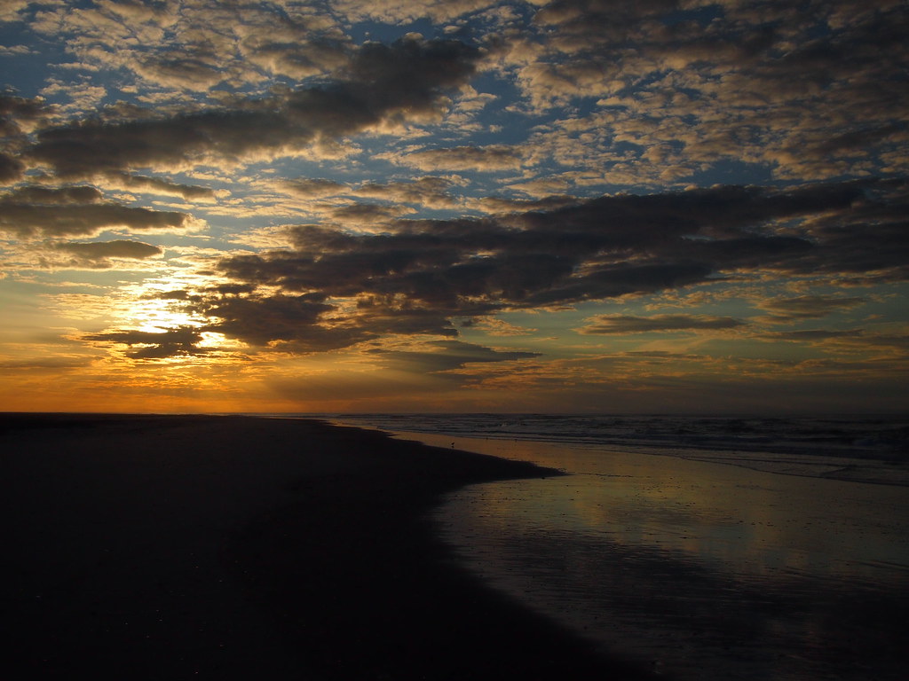
Sunrise over the Atlantic
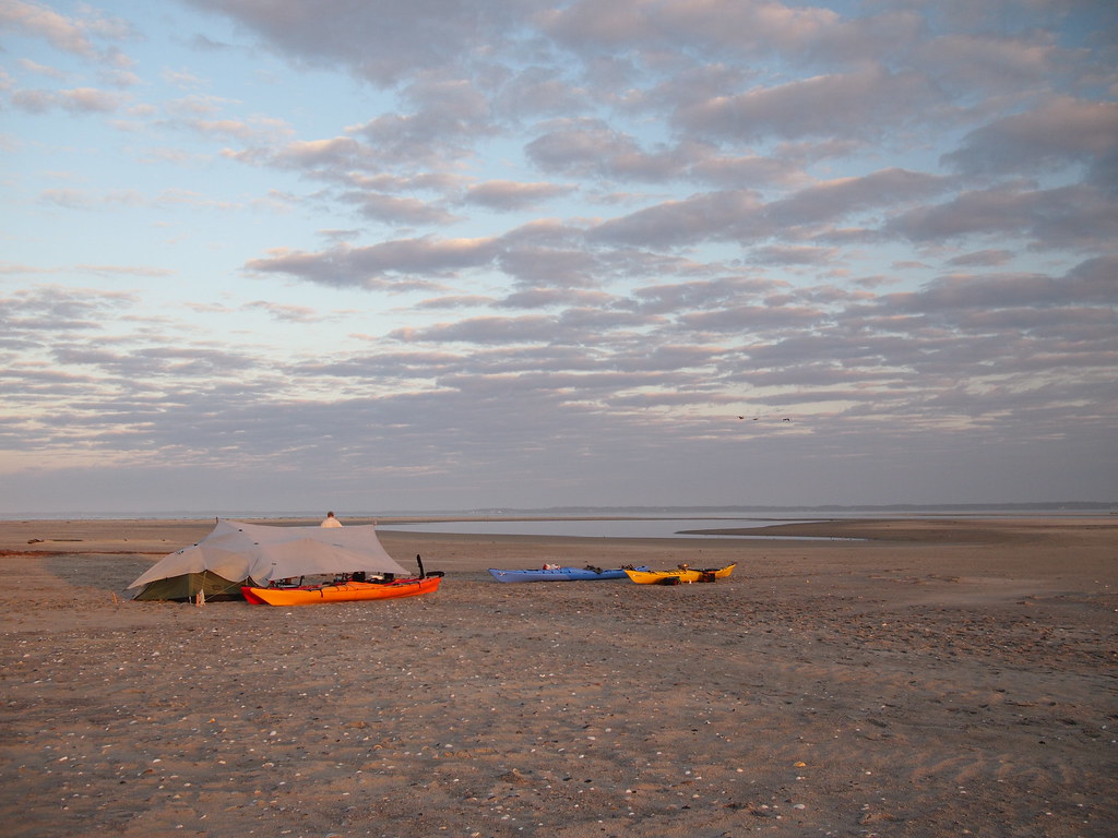
Camp at sunrise
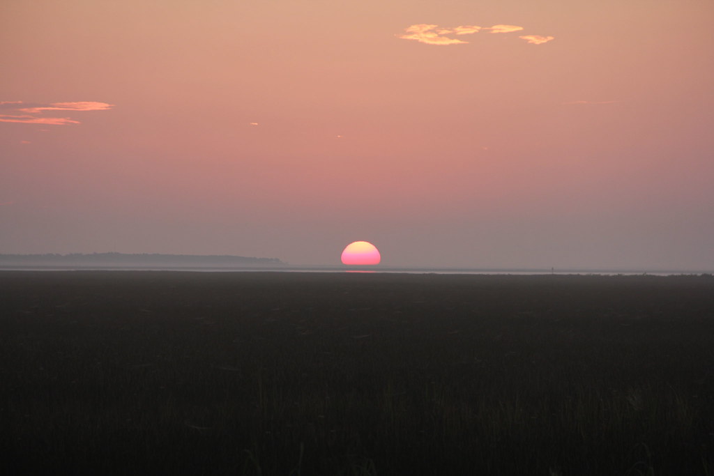
Cedar Island sunrise

Sunrise at Cedar Island
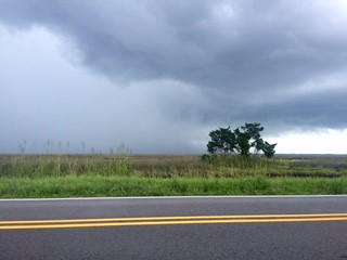
V16-044-Kimberly Brookshire-In the Storm
melhor é

DSC_6952 (Copy)
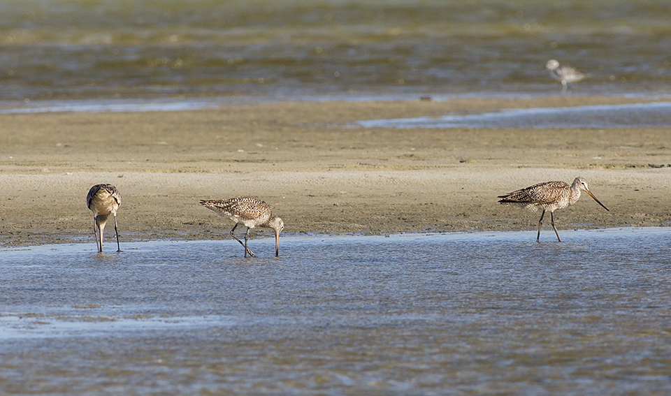
Marbled Godwit 20160708001310

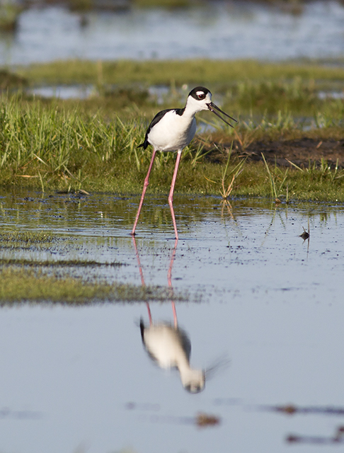
Black-necked Stilt 20160628001340

Snowy Egret 20160628001270
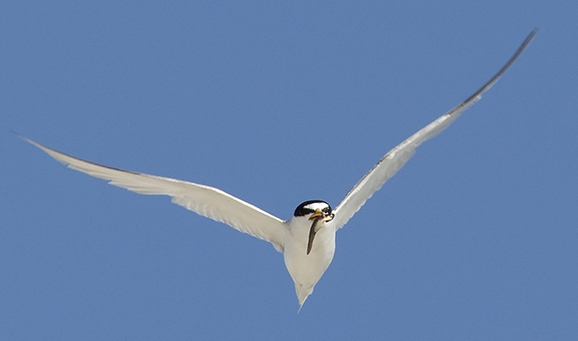
Least Tern 20160628001380
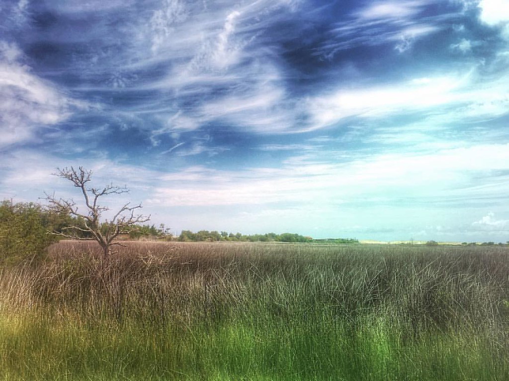
Cedar Island Vista #iphonephotography #northcarolinalandscape #northcarolina #mexturesapp #snapseed

Semipalmated Sanpiper 20160602001036
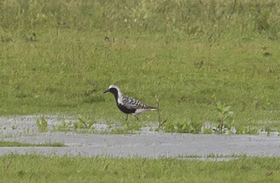
Black-bellied Plover 20160602001085
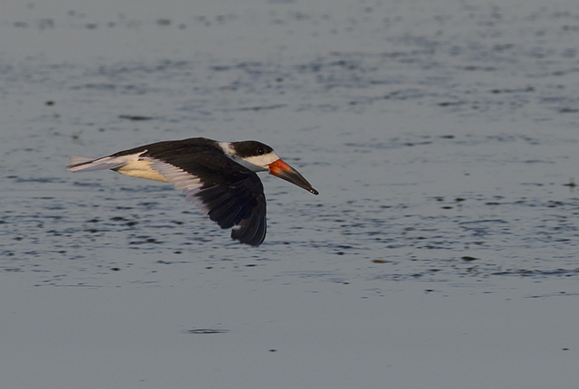
Black Skimmer 20160524001036 - Copy
Black-necked Stilt 20160524001196 - Copy
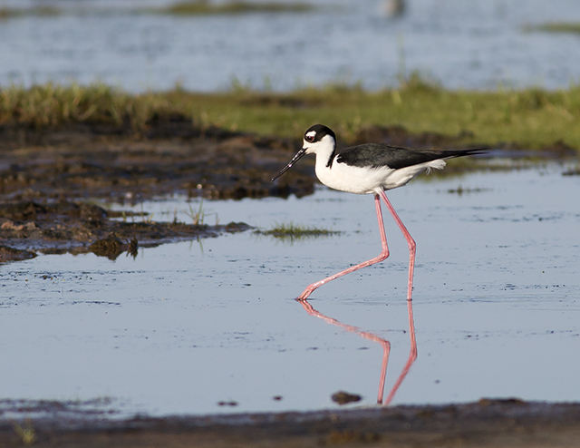
Black-necked Stilt 20160524001217 - Copy
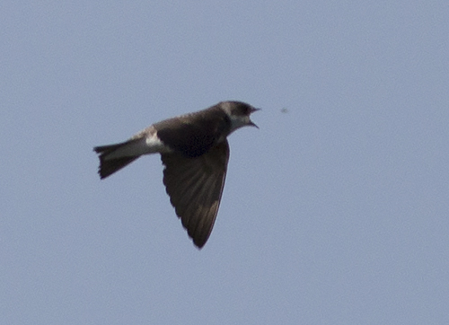
Swallow 20160524001682 - Copy
Cedar Creek Campground - Sea Level, NC
Lola High Water 9-24-15

Beach reading
Dead thing, a dolphin or a small whale I think
My Chesbacca, taking a nap on the beach
Dune Road, Cape Lookout National Seashore
Great Pond, Cedar Island, NC

Give me a Sign
Seashore Dr, Atlantic, NC アメリカ合衆国シーショア・ドライブの地図
別の場所を検索
近所の場所
Seashore Dr, Atlantic, NC アメリカ合衆国
Shell Rd, Atlantic, NC アメリカ合衆国
Seashore Dr, Atlantic, NC アメリカ合衆国
アメリカ合衆国 〒 ノース・カロライナ州 アトランティック
Salter Dr, Atlantic, NC アメリカ合衆国
Seafood Ln, Atlantic, NC アメリカ合衆国
Fulcher Dr, Atlantic, NC アメリカ合衆国
Lee Daniels Rd, Atlantic, NC アメリカ合衆国
Lee Daniels Rd, Atlantic, NC アメリカ合衆国
Seashore Dr, Sealevel, NC アメリカ合衆国
アメリカ合衆国 ノース・カロライナ州 アトランティック
Nelson Neck Rd, Sealevel, NC アメリカ合衆国
Nelson Neck Rd, Sealevel, NC アメリカ合衆国
アメリカ合衆国 〒 ノース・カロライナ州 シールベル
Shell Hill Rd, Sea Level, NC アメリカ合衆国シェル・ヒル・ロード
Shell Hill Rd, Sealevel, NC アメリカ合衆国
アメリカ合衆国 ノース・カロライナ州 シー・レベル
アメリカ合衆国 〒 ノース・カロライナ州 ステイシー
US-70, Stacy, NC アメリカ合衆国
US-70, Stacy, NC アメリカ合衆国
最近の検索
- アメリカ合衆国 アラスカ州 レッド・ドッグ・マイン日の出日の入り時間
- Am bhf, Borken, ドイツアム・バーンホーフ日の出日の入り時間
- 4th St E, Sonoma, CA, USA日の出日の入り時間
- Oakland Ave, Williamsport, PA アメリカ合衆国日の出日の入り時間
- Via Roma, Pieranica CR, イタリアローマ通り日の出日の入り時間
- クロアチア 〒 ドゥブロブニク GradClock Tower of Dubrovnik日の出日の入り時間
- アルゼンチン チュブ州 トレリュー日の出日の入り時間
- Hartfords Bluff Cir, Mt Pleasant, SC アメリカ合衆国日の出日の入り時間
- 日本、熊本県熊本市北区日の出日の入り時間
- 中華人民共和国 福州市 平潭県 平潭島日の出日の入り時間