アメリカ合衆国 〒 ウェスト・バージニア州 セント・アルバンズ日の出日の入り時間
Location: アメリカ合衆国 > ウェスト・バージニア州 > カナー > アメリカ合衆国 ウェスト・バージニア州 3 >
時間帯:
America/New_York
現地時間:
2025-07-12 03:23:56
経度:
-81.8191658
緯度:
38.3793695
今日の日の出時刻:
06:14:07 AM
今日の日の入時刻:
08:51:56 PM
今日の日長:
14h 37m 49s
明日の日の出時刻:
06:14:49 AM
明日の日の入時刻:
08:51:28 PM
明日の日長:
14h 36m 39s
すべて表示する
| 日付 | 日出 | 日没 | 日長 |
|---|---|---|---|
| 2025年01月01日 | 07:44:27 AM | 05:18:20 PM | 9h 33m 53s |
| 2025年01月02日 | 07:44:32 AM | 05:19:10 PM | 9h 34m 38s |
| 2025年01月03日 | 07:44:35 AM | 05:20:02 PM | 9h 35m 27s |
| 2025年01月04日 | 07:44:35 AM | 05:20:55 PM | 9h 36m 20s |
| 2025年01月05日 | 07:44:34 AM | 05:21:49 PM | 9h 37m 15s |
| 2025年01月06日 | 07:44:30 AM | 05:22:44 PM | 9h 38m 14s |
| 2025年01月07日 | 07:44:25 AM | 05:23:41 PM | 9h 39m 16s |
| 2025年01月08日 | 07:44:17 AM | 05:24:38 PM | 9h 40m 21s |
| 2025年01月09日 | 07:44:07 AM | 05:25:37 PM | 9h 41m 30s |
| 2025年01月10日 | 07:43:55 AM | 05:26:36 PM | 9h 42m 41s |
| 2025年01月11日 | 07:43:41 AM | 05:27:37 PM | 9h 43m 56s |
| 2025年01月12日 | 07:43:25 AM | 05:28:38 PM | 9h 45m 13s |
| 2025年01月13日 | 07:43:07 AM | 05:29:40 PM | 9h 46m 33s |
| 2025年01月14日 | 07:42:46 AM | 05:30:42 PM | 9h 47m 56s |
| 2025年01月15日 | 07:42:24 AM | 05:31:46 PM | 9h 49m 22s |
| 2025年01月16日 | 07:42:00 AM | 05:32:50 PM | 9h 50m 50s |
| 2025年01月17日 | 07:41:33 AM | 05:33:55 PM | 9h 52m 22s |
| 2025年01月18日 | 07:41:05 AM | 05:35:00 PM | 9h 53m 55s |
| 2025年01月19日 | 07:40:35 AM | 05:36:05 PM | 9h 55m 30s |
| 2025年01月20日 | 07:40:02 AM | 05:37:12 PM | 9h 57m 10s |
| 2025年01月21日 | 07:39:28 AM | 05:38:18 PM | 9h 58m 50s |
| 2025年01月22日 | 07:38:52 AM | 05:39:25 PM | 10h 0m 33s |
| 2025年01月23日 | 07:38:14 AM | 05:40:32 PM | 10h 2m 18s |
| 2025年01月24日 | 07:37:34 AM | 05:41:40 PM | 10h 4m 6s |
| 2025年01月25日 | 07:36:52 AM | 05:42:48 PM | 10h 5m 56s |
| 2025年01月26日 | 07:36:09 AM | 05:43:56 PM | 10h 7m 47s |
| 2025年01月27日 | 07:35:23 AM | 05:45:04 PM | 10h 9m 41s |
| 2025年01月28日 | 07:34:36 AM | 05:46:12 PM | 10h 11m 36s |
| 2025年01月29日 | 07:33:47 AM | 05:47:20 PM | 10h 13m 33s |
| 2025年01月30日 | 07:32:57 AM | 05:48:29 PM | 10h 15m 32s |
| 2025年01月31日 | 07:32:05 AM | 05:49:37 PM | 10h 17m 32s |
| 2025年02月01日 | 07:31:11 AM | 05:50:45 PM | 10h 19m 34s |
| 2025年02月02日 | 07:30:16 AM | 05:51:54 PM | 10h 21m 38s |
| 2025年02月03日 | 07:29:19 AM | 05:53:02 PM | 10h 23m 43s |
| 2025年02月04日 | 07:28:20 AM | 05:54:10 PM | 10h 25m 50s |
| 2025年02月05日 | 07:27:20 AM | 05:55:18 PM | 10h 27m 58s |
| 2025年02月06日 | 07:26:19 AM | 05:56:26 PM | 10h 30m 7s |
| 2025年02月07日 | 07:25:16 AM | 05:57:34 PM | 10h 32m 18s |
| 2025年02月08日 | 07:24:12 AM | 05:58:42 PM | 10h 34m 30s |
| 2025年02月09日 | 07:23:06 AM | 05:59:49 PM | 10h 36m 43s |
| 2025年02月10日 | 07:21:59 AM | 06:00:56 PM | 10h 38m 57s |
| 2025年02月11日 | 07:20:51 AM | 06:02:03 PM | 10h 41m 12s |
| 2025年02月12日 | 07:19:42 AM | 06:03:10 PM | 10h 43m 28s |
| 2025年02月13日 | 07:18:31 AM | 06:04:17 PM | 10h 45m 46s |
| 2025年02月14日 | 07:17:19 AM | 06:05:23 PM | 10h 48m 4s |
| 2025年02月15日 | 07:16:06 AM | 06:06:29 PM | 10h 50m 23s |
| 2025年02月16日 | 07:14:52 AM | 06:07:35 PM | 10h 52m 43s |
| 2025年02月17日 | 07:13:36 AM | 06:08:40 PM | 10h 55m 4s |
| 2025年02月18日 | 07:12:20 AM | 06:09:45 PM | 10h 57m 25s |
| 2025年02月19日 | 07:11:03 AM | 06:10:50 PM | 10h 59m 47s |
| 2025年02月20日 | 07:09:44 AM | 06:11:54 PM | 11h 2m 10s |
| 2025年02月21日 | 07:08:25 AM | 06:12:59 PM | 11h 4m 34s |
| 2025年02月22日 | 07:07:05 AM | 06:14:02 PM | 11h 6m 57s |
| 2025年02月23日 | 07:05:44 AM | 06:15:06 PM | 11h 9m 22s |
| 2025年02月24日 | 07:04:22 AM | 06:16:09 PM | 11h 11m 47s |
| 2025年02月25日 | 07:02:59 AM | 06:17:12 PM | 11h 14m 13s |
| 2025年02月26日 | 07:01:35 AM | 06:18:15 PM | 11h 16m 40s |
| 2025年02月27日 | 07:00:11 AM | 06:19:17 PM | 11h 19m 6s |
| 2025年02月28日 | 06:58:46 AM | 06:20:19 PM | 11h 21m 33s |
| 2025年03月01日 | 06:57:20 AM | 06:21:21 PM | 11h 24m 1s |
| 2025年03月02日 | 06:55:54 AM | 06:22:22 PM | 11h 26m 28s |
| 2025年03月03日 | 06:54:27 AM | 06:23:23 PM | 11h 28m 56s |
| 2025年03月04日 | 06:52:59 AM | 06:24:24 PM | 11h 31m 25s |
| 2025年03月05日 | 06:51:31 AM | 06:25:24 PM | 11h 33m 53s |
| 2025年03月06日 | 06:50:02 AM | 06:26:25 PM | 11h 36m 23s |
| 2025年03月07日 | 06:48:33 AM | 06:27:25 PM | 11h 38m 52s |
| 2025年03月08日 | 06:47:03 AM | 06:28:24 PM | 11h 41m 21s |
| 2025年03月09日 | 07:45:37 AM | 07:29:21 PM | 11h 43m 44s |
| 2025年03月10日 | 07:44:06 AM | 07:30:20 PM | 11h 46m 14s |
| 2025年03月11日 | 07:42:35 AM | 07:31:19 PM | 11h 48m 44s |
| 2025年03月12日 | 07:41:04 AM | 07:32:18 PM | 11h 51m 14s |
| 2025年03月13日 | 07:39:33 AM | 07:33:17 PM | 11h 53m 44s |
| 2025年03月14日 | 07:38:01 AM | 07:34:15 PM | 11h 56m 14s |
| 2025年03月15日 | 07:36:29 AM | 07:35:13 PM | 11h 58m 44s |
| 2025年03月16日 | 07:34:56 AM | 07:36:11 PM | 12h 1m 15s |
| 2025年03月17日 | 07:33:24 AM | 07:37:09 PM | 12h 3m 45s |
| 2025年03月18日 | 07:31:51 AM | 07:38:06 PM | 12h 6m 15s |
| 2025年03月19日 | 07:30:18 AM | 07:39:04 PM | 12h 8m 46s |
| 2025年03月20日 | 07:28:45 AM | 07:40:01 PM | 12h 11m 16s |
| 2025年03月21日 | 07:27:12 AM | 07:40:58 PM | 12h 13m 46s |
| 2025年03月22日 | 07:25:39 AM | 07:41:55 PM | 12h 16m 16s |
| 2025年03月23日 | 07:24:06 AM | 07:42:52 PM | 12h 18m 46s |
| 2025年03月24日 | 07:22:33 AM | 07:43:49 PM | 12h 21m 16s |
| 2025年03月25日 | 07:21:00 AM | 07:44:46 PM | 12h 23m 46s |
| 2025年03月26日 | 07:19:28 AM | 07:45:43 PM | 12h 26m 15s |
| 2025年03月27日 | 07:17:55 AM | 07:46:39 PM | 12h 28m 44s |
| 2025年03月28日 | 07:16:22 AM | 07:47:36 PM | 12h 31m 14s |
| 2025年03月29日 | 07:14:50 AM | 07:48:32 PM | 12h 33m 42s |
| 2025年03月30日 | 07:13:17 AM | 07:49:28 PM | 12h 36m 11s |
| 2025年03月31日 | 07:11:45 AM | 07:50:25 PM | 12h 38m 40s |
| 2025年04月01日 | 07:10:14 AM | 07:51:21 PM | 12h 41m 7s |
| 2025年04月02日 | 07:08:42 AM | 07:52:18 PM | 12h 43m 36s |
| 2025年04月03日 | 07:07:11 AM | 07:53:14 PM | 12h 46m 3s |
| 2025年04月04日 | 07:05:40 AM | 07:54:10 PM | 12h 48m 30s |
| 2025年04月05日 | 07:04:10 AM | 07:55:07 PM | 12h 50m 57s |
| 2025年04月06日 | 07:02:40 AM | 07:56:03 PM | 12h 53m 23s |
| 2025年04月07日 | 07:01:10 AM | 07:56:59 PM | 12h 55m 49s |
| 2025年04月08日 | 06:59:41 AM | 07:57:56 PM | 12h 58m 15s |
| 2025年04月09日 | 06:58:13 AM | 07:58:52 PM | 13h 0m 39s |
| 2025年04月10日 | 06:56:44 AM | 07:59:48 PM | 13h 3m 4s |
| 2025年04月11日 | 06:55:17 AM | 08:00:45 PM | 13h 5m 28s |
| 2025年04月12日 | 06:53:50 AM | 08:01:41 PM | 13h 7m 51s |
| 2025年04月13日 | 06:52:24 AM | 08:02:38 PM | 13h 10m 14s |
| 2025年04月14日 | 06:50:58 AM | 08:03:34 PM | 13h 12m 36s |
| 2025年04月15日 | 06:49:33 AM | 08:04:31 PM | 13h 14m 58s |
| 2025年04月16日 | 06:48:09 AM | 08:05:28 PM | 13h 17m 19s |
| 2025年04月17日 | 06:46:45 AM | 08:06:24 PM | 13h 19m 39s |
| 2025年04月18日 | 06:45:23 AM | 08:07:21 PM | 13h 21m 58s |
| 2025年04月19日 | 06:44:01 AM | 08:08:18 PM | 13h 24m 17s |
| 2025年04月20日 | 06:42:40 AM | 08:09:14 PM | 13h 26m 34s |
| 2025年04月21日 | 06:41:19 AM | 08:10:11 PM | 13h 28m 52s |
| 2025年04月22日 | 06:40:00 AM | 08:11:08 PM | 13h 31m 8s |
| 2025年04月23日 | 06:38:41 AM | 08:12:05 PM | 13h 33m 24s |
| 2025年04月24日 | 06:37:24 AM | 08:13:02 PM | 13h 35m 38s |
| 2025年04月25日 | 06:36:08 AM | 08:13:58 PM | 13h 37m 50s |
| 2025年04月26日 | 06:34:52 AM | 08:14:55 PM | 13h 40m 3s |
| 2025年04月27日 | 06:33:38 AM | 08:15:52 PM | 13h 42m 14s |
| 2025年04月28日 | 06:32:24 AM | 08:16:49 PM | 13h 44m 25s |
| 2025年04月29日 | 06:31:12 AM | 08:17:45 PM | 13h 46m 33s |
| 2025年04月30日 | 06:30:01 AM | 08:18:42 PM | 13h 48m 41s |
| 2025年05月01日 | 06:28:51 AM | 08:19:38 PM | 13h 50m 47s |
| 2025年05月02日 | 06:27:42 AM | 08:20:35 PM | 13h 52m 53s |
| 2025年05月03日 | 06:26:35 AM | 08:21:31 PM | 13h 54m 56s |
| 2025年05月04日 | 06:25:28 AM | 08:22:27 PM | 13h 56m 59s |
| 2025年05月05日 | 06:24:24 AM | 08:23:23 PM | 13h 58m 59s |
| 2025年05月06日 | 06:23:20 AM | 08:24:19 PM | 14h 0m 59s |
| 2025年05月07日 | 06:22:18 AM | 08:25:14 PM | 14h 2m 56s |
| 2025年05月08日 | 06:21:17 AM | 08:26:10 PM | 14h 4m 53s |
| 2025年05月09日 | 06:20:17 AM | 08:27:05 PM | 14h 6m 48s |
| 2025年05月10日 | 06:19:19 AM | 08:27:59 PM | 14h 8m 40s |
| 2025年05月11日 | 06:18:22 AM | 08:28:54 PM | 14h 10m 32s |
| 2025年05月12日 | 06:17:27 AM | 08:29:48 PM | 14h 12m 21s |
| 2025年05月13日 | 06:16:33 AM | 08:30:42 PM | 14h 14m 9s |
| 2025年05月14日 | 06:15:41 AM | 08:31:35 PM | 14h 15m 54s |
| 2025年05月15日 | 06:14:50 AM | 08:32:28 PM | 14h 17m 38s |
| 2025年05月16日 | 06:14:01 AM | 08:33:21 PM | 14h 19m 20s |
| 2025年05月17日 | 06:13:14 AM | 08:34:13 PM | 14h 20m 59s |
| 2025年05月18日 | 06:12:28 AM | 08:35:05 PM | 14h 22m 37s |
| 2025年05月19日 | 06:11:44 AM | 08:35:55 PM | 14h 24m 11s |
| 2025年05月20日 | 06:11:01 AM | 08:36:46 PM | 14h 25m 45s |
| 2025年05月21日 | 06:10:20 AM | 08:37:36 PM | 14h 27m 16s |
| 2025年05月22日 | 06:09:41 AM | 08:38:25 PM | 14h 28m 44s |
| 2025年05月23日 | 06:09:04 AM | 08:39:13 PM | 14h 30m 9s |
| 2025年05月24日 | 06:08:28 AM | 08:40:01 PM | 14h 31m 33s |
| 2025年05月25日 | 06:07:54 AM | 08:40:48 PM | 14h 32m 54s |
| 2025年05月26日 | 06:07:22 AM | 08:41:34 PM | 14h 34m 12s |
| 2025年05月27日 | 06:06:51 AM | 08:42:19 PM | 14h 35m 28s |
| 2025年05月28日 | 06:06:23 AM | 08:43:03 PM | 14h 36m 40s |
| 2025年05月29日 | 06:05:56 AM | 08:43:47 PM | 14h 37m 51s |
| 2025年05月30日 | 06:05:31 AM | 08:44:29 PM | 14h 38m 58s |
| 2025年05月31日 | 06:05:08 AM | 08:45:11 PM | 14h 40m 3s |
| 2025年06月01日 | 06:04:46 AM | 08:45:51 PM | 14h 41m 5s |
| 2025年06月02日 | 06:04:27 AM | 08:46:30 PM | 14h 42m 3s |
| 2025年06月03日 | 06:04:09 AM | 08:47:08 PM | 14h 42m 59s |
| 2025年06月04日 | 06:03:53 AM | 08:47:45 PM | 14h 43m 52s |
| 2025年06月05日 | 06:03:39 AM | 08:48:21 PM | 14h 44m 42s |
| 2025年06月06日 | 06:03:27 AM | 08:48:56 PM | 14h 45m 29s |
| 2025年06月07日 | 06:03:17 AM | 08:49:29 PM | 14h 46m 12s |
| 2025年06月08日 | 06:03:09 AM | 08:50:01 PM | 14h 46m 52s |
| 2025年06月09日 | 06:03:02 AM | 08:50:31 PM | 14h 47m 29s |
| 2025年06月10日 | 06:02:57 AM | 08:51:01 PM | 14h 48m 4s |
| 2025年06月11日 | 06:02:54 AM | 08:51:28 PM | 14h 48m 34s |
| 2025年06月12日 | 06:02:53 AM | 08:51:55 PM | 14h 49m 2s |
| 2025年06月13日 | 06:02:54 AM | 08:52:19 PM | 14h 49m 25s |
| 2025年06月14日 | 06:02:56 AM | 08:52:43 PM | 14h 49m 47s |
| 2025年06月15日 | 06:03:00 AM | 08:53:04 PM | 14h 50m 4s |
| 2025年06月16日 | 06:03:06 AM | 08:53:24 PM | 14h 50m 18s |
| 2025年06月17日 | 06:03:14 AM | 08:53:43 PM | 14h 50m 29s |
| 2025年06月18日 | 06:03:23 AM | 08:54:00 PM | 14h 50m 37s |
| 2025年06月19日 | 06:03:34 AM | 08:54:15 PM | 14h 50m 41s |
| 2025年06月20日 | 06:03:47 AM | 08:54:28 PM | 14h 50m 41s |
| 2025年06月21日 | 06:04:01 AM | 08:54:40 PM | 14h 50m 39s |
| 2025年06月22日 | 06:04:17 AM | 08:54:50 PM | 14h 50m 33s |
| 2025年06月23日 | 06:04:35 AM | 08:54:58 PM | 14h 50m 23s |
| 2025年06月24日 | 06:04:54 AM | 08:55:04 PM | 14h 50m 10s |
| 2025年06月25日 | 06:05:15 AM | 08:55:09 PM | 14h 49m 54s |
| 2025年06月26日 | 06:05:37 AM | 08:55:12 PM | 14h 49m 35s |
| 2025年06月27日 | 06:06:00 AM | 08:55:13 PM | 14h 49m 13s |
| 2025年06月28日 | 06:06:26 AM | 08:55:12 PM | 14h 48m 46s |
| 2025年06月29日 | 06:06:52 AM | 08:55:09 PM | 14h 48m 17s |
| 2025年06月30日 | 06:07:20 AM | 08:55:04 PM | 14h 47m 44s |
| 2025年07月01日 | 06:07:49 AM | 08:54:58 PM | 14h 47m 9s |
| 2025年07月02日 | 06:08:20 AM | 08:54:49 PM | 14h 46m 29s |
| 2025年07月03日 | 06:08:51 AM | 08:54:39 PM | 14h 45m 48s |
| 2025年07月04日 | 06:09:24 AM | 08:54:27 PM | 14h 45m 3s |
| 2025年07月05日 | 06:09:59 AM | 08:54:13 PM | 14h 44m 14s |
| 2025年07月06日 | 06:10:34 AM | 08:53:57 PM | 14h 43m 23s |
| 2025年07月07日 | 06:11:10 AM | 08:53:39 PM | 14h 42m 29s |
| 2025年07月08日 | 06:11:48 AM | 08:53:20 PM | 14h 41m 32s |
| 2025年07月09日 | 06:12:27 AM | 08:52:58 PM | 14h 40m 31s |
| 2025年07月10日 | 06:13:06 AM | 08:52:35 PM | 14h 39m 29s |
| 2025年07月11日 | 06:13:47 AM | 08:52:09 PM | 14h 38m 22s |
| 2025年07月12日 | 06:14:28 AM | 08:51:42 PM | 14h 37m 14s |
| 2025年07月13日 | 06:15:10 AM | 08:51:13 PM | 14h 36m 3s |
| 2025年07月14日 | 06:15:53 AM | 08:50:43 PM | 14h 34m 50s |
| 2025年07月15日 | 06:16:37 AM | 08:50:10 PM | 14h 33m 33s |
| 2025年07月16日 | 06:17:22 AM | 08:49:36 PM | 14h 32m 14s |
| 2025年07月17日 | 06:18:07 AM | 08:48:59 PM | 14h 30m 52s |
| 2025年07月18日 | 06:18:53 AM | 08:48:21 PM | 14h 29m 28s |
| 2025年07月19日 | 06:19:40 AM | 08:47:42 PM | 14h 28m 2s |
| 2025年07月20日 | 06:20:27 AM | 08:47:00 PM | 14h 26m 33s |
| 2025年07月21日 | 06:21:15 AM | 08:46:17 PM | 14h 25m 2s |
| 2025年07月22日 | 06:22:04 AM | 08:45:32 PM | 14h 23m 28s |
| 2025年07月23日 | 06:22:53 AM | 08:44:46 PM | 14h 21m 53s |
| 2025年07月24日 | 06:23:42 AM | 08:43:58 PM | 14h 20m 16s |
| 2025年07月25日 | 06:24:32 AM | 08:43:08 PM | 14h 18m 36s |
| 2025年07月26日 | 06:25:22 AM | 08:42:16 PM | 14h 16m 54s |
| 2025年07月27日 | 06:26:13 AM | 08:41:23 PM | 14h 15m 10s |
| 2025年07月28日 | 06:27:04 AM | 08:40:29 PM | 14h 13m 25s |
| 2025年07月29日 | 06:27:55 AM | 08:39:33 PM | 14h 11m 38s |
| 2025年07月30日 | 06:28:46 AM | 08:38:35 PM | 14h 9m 49s |
| 2025年07月31日 | 06:29:38 AM | 08:37:36 PM | 14h 7m 58s |
| 2025年08月01日 | 06:30:30 AM | 08:36:36 PM | 14h 6m 6s |
| 2025年08月02日 | 06:31:22 AM | 08:35:34 PM | 14h 4m 12s |
| 2025年08月03日 | 06:32:15 AM | 08:34:31 PM | 14h 2m 16s |
| 2025年08月04日 | 06:33:07 AM | 08:33:26 PM | 14h 0m 19s |
| 2025年08月05日 | 06:34:00 AM | 08:32:20 PM | 13h 58m 20s |
| 2025年08月06日 | 06:34:53 AM | 08:31:13 PM | 13h 56m 20s |
| 2025年08月07日 | 06:35:46 AM | 08:30:04 PM | 13h 54m 18s |
| 2025年08月08日 | 06:36:39 AM | 08:28:55 PM | 13h 52m 16s |
| 2025年08月09日 | 06:37:32 AM | 08:27:44 PM | 13h 50m 12s |
| 2025年08月10日 | 06:38:25 AM | 08:26:31 PM | 13h 48m 6s |
| 2025年08月11日 | 06:39:18 AM | 08:25:18 PM | 13h 46m 0s |
| 2025年08月12日 | 06:40:11 AM | 08:24:04 PM | 13h 43m 53s |
| 2025年08月13日 | 06:41:04 AM | 08:22:48 PM | 13h 41m 44s |
| 2025年08月14日 | 06:41:57 AM | 08:21:31 PM | 13h 39m 34s |
| 2025年08月15日 | 06:42:50 AM | 08:20:14 PM | 13h 37m 24s |
| 2025年08月16日 | 06:43:44 AM | 08:18:55 PM | 13h 35m 11s |
| 2025年08月17日 | 06:44:37 AM | 08:17:35 PM | 13h 32m 58s |
| 2025年08月18日 | 06:45:30 AM | 08:16:15 PM | 13h 30m 45s |
| 2025年08月19日 | 06:46:23 AM | 08:14:53 PM | 13h 28m 30s |
| 2025年08月20日 | 06:47:16 AM | 08:13:31 PM | 13h 26m 15s |
| 2025年08月21日 | 06:48:08 AM | 08:12:07 PM | 13h 23m 59s |
| 2025年08月22日 | 06:49:01 AM | 08:10:43 PM | 13h 21m 42s |
| 2025年08月23日 | 06:49:54 AM | 08:09:18 PM | 13h 19m 24s |
| 2025年08月24日 | 06:50:47 AM | 08:07:53 PM | 13h 17m 6s |
| 2025年08月25日 | 06:51:39 AM | 08:06:26 PM | 13h 14m 47s |
| 2025年08月26日 | 06:52:32 AM | 08:04:59 PM | 13h 12m 27s |
| 2025年08月27日 | 06:53:24 AM | 08:03:31 PM | 13h 10m 7s |
| 2025年08月28日 | 06:54:17 AM | 08:02:03 PM | 13h 7m 46s |
| 2025年08月29日 | 06:55:09 AM | 08:00:34 PM | 13h 5m 25s |
| 2025年08月30日 | 06:56:01 AM | 07:59:04 PM | 13h 3m 3s |
| 2025年08月31日 | 06:56:53 AM | 07:57:34 PM | 13h 0m 41s |
| 2025年09月01日 | 06:57:46 AM | 07:56:03 PM | 12h 58m 17s |
| 2025年09月02日 | 06:58:38 AM | 07:54:32 PM | 12h 55m 54s |
| 2025年09月03日 | 06:59:30 AM | 07:53:00 PM | 12h 53m 30s |
| 2025年09月04日 | 07:00:22 AM | 07:51:28 PM | 12h 51m 6s |
| 2025年09月05日 | 07:01:14 AM | 07:49:56 PM | 12h 48m 42s |
| 2025年09月06日 | 07:02:06 AM | 07:48:23 PM | 12h 46m 17s |
| 2025年09月07日 | 07:02:58 AM | 07:46:49 PM | 12h 43m 51s |
| 2025年09月08日 | 07:03:50 AM | 07:45:16 PM | 12h 41m 26s |
| 2025年09月09日 | 07:04:42 AM | 07:43:42 PM | 12h 39m 0s |
| 2025年09月10日 | 07:05:34 AM | 07:42:08 PM | 12h 36m 34s |
| 2025年09月11日 | 07:06:26 AM | 07:40:33 PM | 12h 34m 7s |
| 2025年09月12日 | 07:07:18 AM | 07:38:59 PM | 12h 31m 41s |
| 2025年09月13日 | 07:08:10 AM | 07:37:24 PM | 12h 29m 14s |
| 2025年09月14日 | 07:09:02 AM | 07:35:49 PM | 12h 26m 47s |
| 2025年09月15日 | 07:09:54 AM | 07:34:14 PM | 12h 24m 20s |
| 2025年09月16日 | 07:10:46 AM | 07:32:39 PM | 12h 21m 53s |
| 2025年09月17日 | 07:11:38 AM | 07:31:04 PM | 12h 19m 26s |
| 2025年09月18日 | 07:12:31 AM | 07:29:29 PM | 12h 16m 58s |
| 2025年09月19日 | 07:13:23 AM | 07:27:53 PM | 12h 14m 30s |
| 2025年09月20日 | 07:14:16 AM | 07:26:18 PM | 12h 12m 2s |
| 2025年09月21日 | 07:15:09 AM | 07:24:43 PM | 12h 9m 34s |
| 2025年09月22日 | 07:16:02 AM | 07:23:08 PM | 12h 7m 6s |
| 2025年09月23日 | 07:16:55 AM | 07:21:33 PM | 12h 4m 38s |
| 2025年09月24日 | 07:17:48 AM | 07:19:58 PM | 12h 2m 10s |
| 2025年09月25日 | 07:18:41 AM | 07:18:24 PM | 11h 59m 43s |
| 2025年09月26日 | 07:19:35 AM | 07:16:49 PM | 11h 57m 14s |
| 2025年09月27日 | 07:20:28 AM | 07:15:15 PM | 11h 54m 47s |
| 2025年09月28日 | 07:21:22 AM | 07:13:41 PM | 11h 52m 19s |
| 2025年09月29日 | 07:22:16 AM | 07:12:08 PM | 11h 49m 52s |
| 2025年09月30日 | 07:23:11 AM | 07:10:34 PM | 11h 47m 23s |
| 2025年10月01日 | 07:24:06 AM | 07:09:01 PM | 11h 44m 55s |
| 2025年10月02日 | 07:25:00 AM | 07:07:29 PM | 11h 42m 29s |
| 2025年10月03日 | 07:25:56 AM | 07:05:57 PM | 11h 40m 1s |
| 2025年10月04日 | 07:26:51 AM | 07:04:25 PM | 11h 37m 34s |
| 2025年10月05日 | 07:27:47 AM | 07:02:54 PM | 11h 35m 7s |
| 2025年10月06日 | 07:28:43 AM | 07:01:23 PM | 11h 32m 40s |
| 2025年10月07日 | 07:29:39 AM | 06:59:53 PM | 11h 30m 14s |
| 2025年10月08日 | 07:30:35 AM | 06:58:23 PM | 11h 27m 48s |
| 2025年10月09日 | 07:31:32 AM | 06:56:54 PM | 11h 25m 22s |
| 2025年10月10日 | 07:32:29 AM | 06:55:26 PM | 11h 22m 57s |
| 2025年10月11日 | 07:33:27 AM | 06:53:58 PM | 11h 20m 31s |
| 2025年10月12日 | 07:34:25 AM | 06:52:32 PM | 11h 18m 7s |
| 2025年10月13日 | 07:35:23 AM | 06:51:05 PM | 11h 15m 42s |
| 2025年10月14日 | 07:36:21 AM | 06:49:40 PM | 11h 13m 19s |
| 2025年10月15日 | 07:37:20 AM | 06:48:15 PM | 11h 10m 55s |
| 2025年10月16日 | 07:38:19 AM | 06:46:51 PM | 11h 8m 32s |
| 2025年10月17日 | 07:39:19 AM | 06:45:28 PM | 11h 6m 9s |
| 2025年10月18日 | 07:40:19 AM | 06:44:06 PM | 11h 3m 47s |
| 2025年10月19日 | 07:41:19 AM | 06:42:45 PM | 11h 1m 26s |
| 2025年10月20日 | 07:42:19 AM | 06:41:25 PM | 10h 59m 6s |
| 2025年10月21日 | 07:43:20 AM | 06:40:06 PM | 10h 56m 46s |
| 2025年10月22日 | 07:44:21 AM | 06:38:47 PM | 10h 54m 26s |
| 2025年10月23日 | 07:45:23 AM | 06:37:30 PM | 10h 52m 7s |
| 2025年10月24日 | 07:46:25 AM | 06:36:14 PM | 10h 49m 49s |
| 2025年10月25日 | 07:47:27 AM | 06:34:59 PM | 10h 47m 32s |
| 2025年10月26日 | 07:48:29 AM | 06:33:46 PM | 10h 45m 17s |
| 2025年10月27日 | 07:49:32 AM | 06:32:33 PM | 10h 43m 1s |
| 2025年10月28日 | 07:50:35 AM | 06:31:22 PM | 10h 40m 47s |
| 2025年10月29日 | 07:51:38 AM | 06:30:12 PM | 10h 38m 34s |
| 2025年10月30日 | 07:52:42 AM | 06:29:03 PM | 10h 36m 21s |
| 2025年10月31日 | 07:53:46 AM | 06:27:56 PM | 10h 34m 10s |
| 2025年11月01日 | 07:54:50 AM | 06:26:50 PM | 10h 32m 0s |
| 2025年11月02日 | 06:55:57 AM | 05:25:42 PM | 10h 29m 45s |
| 2025年11月03日 | 06:57:01 AM | 05:24:39 PM | 10h 27m 38s |
| 2025年11月04日 | 06:58:06 AM | 05:23:37 PM | 10h 25m 31s |
| 2025年11月05日 | 06:59:11 AM | 05:22:37 PM | 10h 23m 26s |
| 2025年11月06日 | 07:00:16 AM | 05:21:39 PM | 10h 21m 23s |
| 2025年11月07日 | 07:01:21 AM | 05:20:41 PM | 10h 19m 20s |
| 2025年11月08日 | 07:02:26 AM | 05:19:46 PM | 10h 17m 20s |
| 2025年11月09日 | 07:03:32 AM | 05:18:52 PM | 10h 15m 20s |
| 2025年11月10日 | 07:04:37 AM | 05:18:00 PM | 10h 13m 23s |
| 2025年11月11日 | 07:05:42 AM | 05:17:09 PM | 10h 11m 27s |
| 2025年11月12日 | 07:06:48 AM | 05:16:21 PM | 10h 9m 33s |
| 2025年11月13日 | 07:07:53 AM | 05:15:34 PM | 10h 7m 41s |
| 2025年11月14日 | 07:08:58 AM | 05:14:48 PM | 10h 5m 50s |
| 2025年11月15日 | 07:10:03 AM | 05:14:05 PM | 10h 4m 2s |
| 2025年11月16日 | 07:11:08 AM | 05:13:23 PM | 10h 2m 15s |
| 2025年11月17日 | 07:12:12 AM | 05:12:44 PM | 10h 0m 32s |
| 2025年11月18日 | 07:13:17 AM | 05:12:06 PM | 9h 58m 49s |
| 2025年11月19日 | 07:14:21 AM | 05:11:30 PM | 9h 57m 9s |
| 2025年11月20日 | 07:15:25 AM | 05:10:56 PM | 9h 55m 31s |
| 2025年11月21日 | 07:16:28 AM | 05:10:24 PM | 9h 53m 56s |
| 2025年11月22日 | 07:17:31 AM | 05:09:54 PM | 9h 52m 23s |
| 2025年11月23日 | 07:18:34 AM | 05:09:26 PM | 9h 50m 52s |
| 2025年11月24日 | 07:19:36 AM | 05:09:00 PM | 9h 49m 24s |
| 2025年11月25日 | 07:20:37 AM | 05:08:37 PM | 9h 48m 0s |
| 2025年11月26日 | 07:21:38 AM | 05:08:15 PM | 9h 46m 37s |
| 2025年11月27日 | 07:22:38 AM | 05:07:55 PM | 9h 45m 17s |
| 2025年11月28日 | 07:23:37 AM | 05:07:38 PM | 9h 44m 1s |
| 2025年11月29日 | 07:24:36 AM | 05:07:22 PM | 9h 42m 46s |
| 2025年11月30日 | 07:25:34 AM | 05:07:09 PM | 9h 41m 35s |
| 2025年12月01日 | 07:26:31 AM | 05:06:58 PM | 9h 40m 27s |
| 2025年12月02日 | 07:27:27 AM | 05:06:48 PM | 9h 39m 21s |
| 2025年12月03日 | 07:28:22 AM | 05:06:42 PM | 9h 38m 20s |
| 2025年12月04日 | 07:29:16 AM | 05:06:37 PM | 9h 37m 21s |
| 2025年12月05日 | 07:30:09 AM | 05:06:34 PM | 9h 36m 25s |
| 2025年12月06日 | 07:31:01 AM | 05:06:34 PM | 9h 35m 33s |
| 2025年12月07日 | 07:31:52 AM | 05:06:35 PM | 9h 34m 43s |
| 2025年12月08日 | 07:32:42 AM | 05:06:39 PM | 9h 33m 57s |
| 2025年12月09日 | 07:33:30 AM | 05:06:45 PM | 9h 33m 15s |
| 2025年12月10日 | 07:34:17 AM | 05:06:54 PM | 9h 32m 37s |
| 2025年12月11日 | 07:35:02 AM | 05:07:04 PM | 9h 32m 2s |
| 2025年12月12日 | 07:35:46 AM | 05:07:16 PM | 9h 31m 30s |
| 2025年12月13日 | 07:36:29 AM | 05:07:31 PM | 9h 31m 2s |
| 2025年12月14日 | 07:37:10 AM | 05:07:47 PM | 9h 30m 37s |
| 2025年12月15日 | 07:37:50 AM | 05:08:06 PM | 9h 30m 16s |
| 2025年12月16日 | 07:38:27 AM | 05:08:26 PM | 9h 29m 59s |
| 2025年12月17日 | 07:39:04 AM | 05:08:49 PM | 9h 29m 45s |
| 2025年12月18日 | 07:39:38 AM | 05:09:14 PM | 9h 29m 36s |
| 2025年12月19日 | 07:40:11 AM | 05:09:40 PM | 9h 29m 29s |
| 2025年12月20日 | 07:40:42 AM | 05:10:09 PM | 9h 29m 27s |
| 2025年12月21日 | 07:41:11 AM | 05:10:39 PM | 9h 29m 28s |
| 2025年12月22日 | 07:41:39 AM | 05:11:12 PM | 9h 29m 33s |
| 2025年12月23日 | 07:42:04 AM | 05:11:46 PM | 9h 29m 42s |
| 2025年12月24日 | 07:42:28 AM | 05:12:22 PM | 9h 29m 54s |
| 2025年12月25日 | 07:42:50 AM | 05:12:59 PM | 9h 30m 9s |
| 2025年12月26日 | 07:43:09 AM | 05:13:38 PM | 9h 30m 29s |
| 2025年12月27日 | 07:43:27 AM | 05:14:20 PM | 9h 30m 53s |
| 2025年12月28日 | 07:43:43 AM | 05:15:02 PM | 9h 31m 19s |
| 2025年12月29日 | 07:43:56 AM | 05:15:46 PM | 9h 31m 50s |
| 2025年12月30日 | 07:44:08 AM | 05:16:32 PM | 9h 32m 24s |
| 2025年12月31日 | 07:44:18 AM | 05:17:19 PM | 9h 33m 1s |
写真

The Close of the Day

Dying of the Light

The Gathering Storm
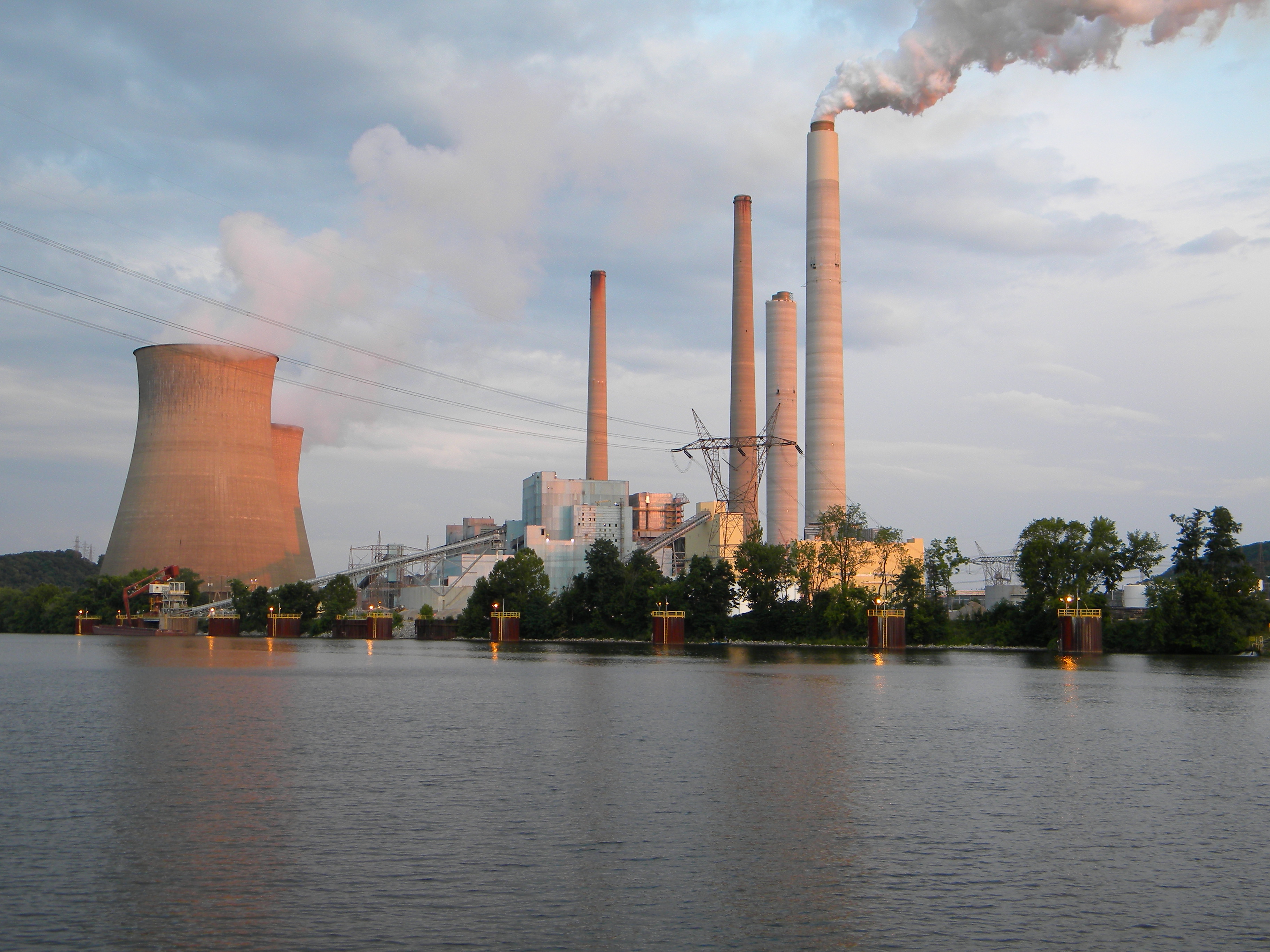
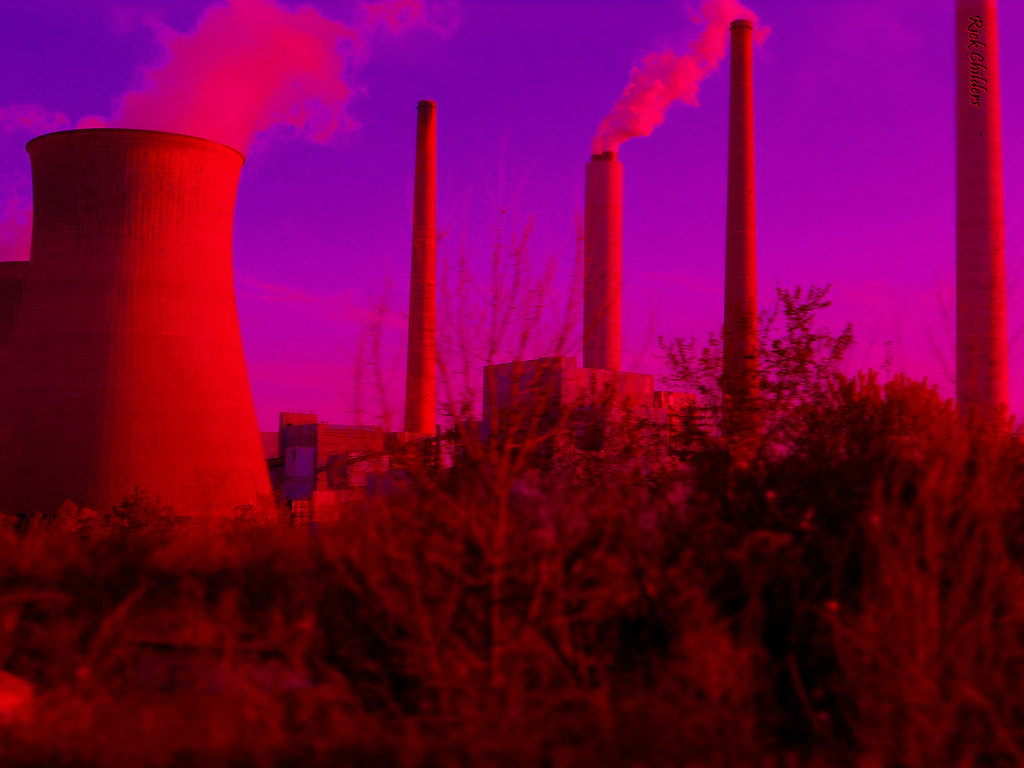
Near Poca West Virginia: The John Amos Power Plant at Sunset

Byng Dr. Sunset
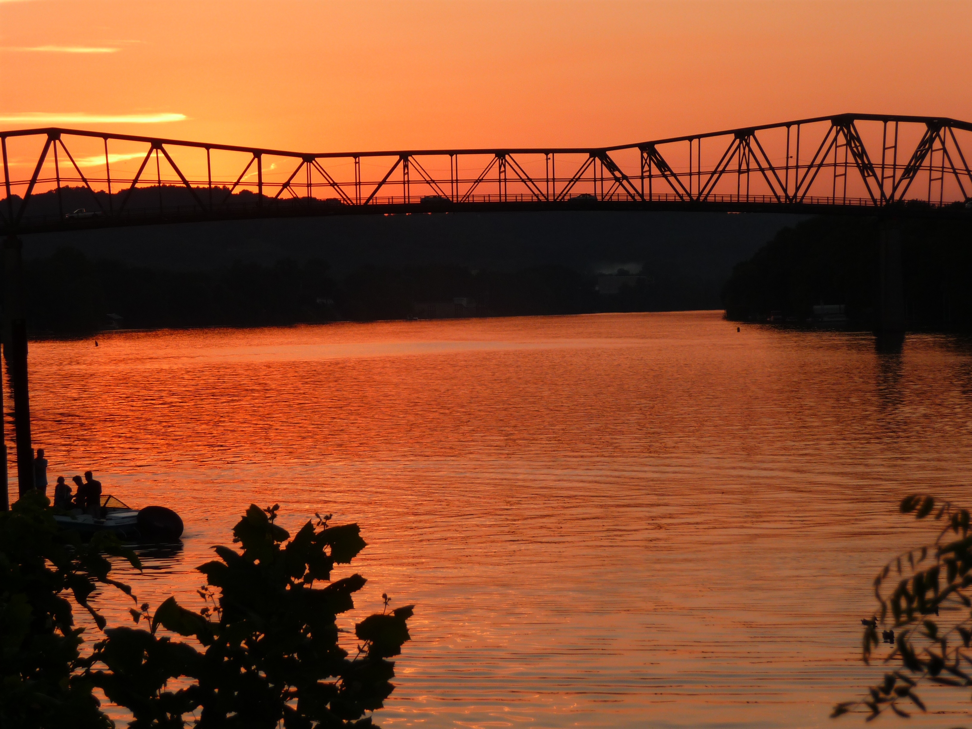
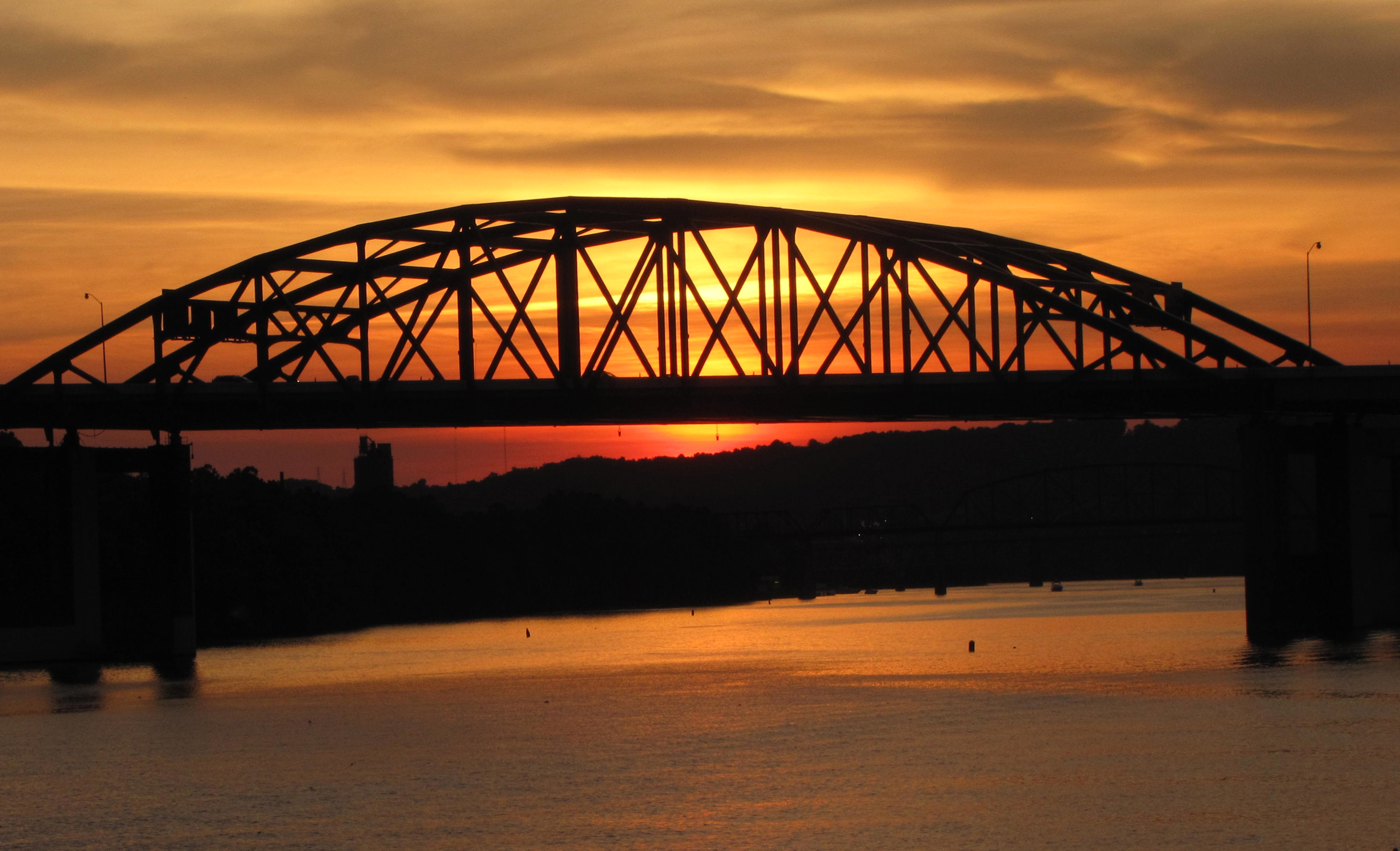
St. Albans WV: Bridge at Sunset - - - RIP

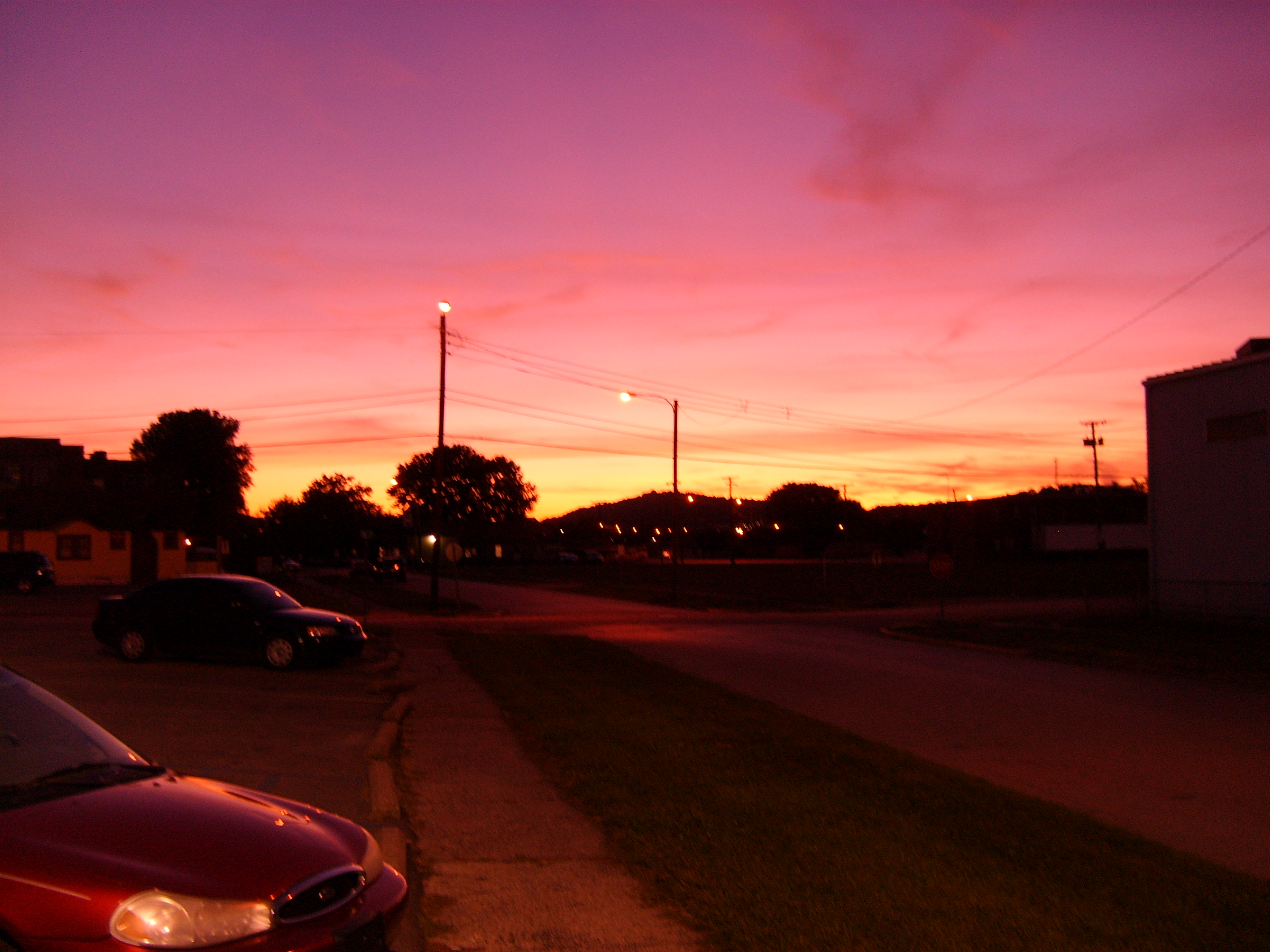
Byng Dr. Sunset
Amazing Sunset
Sunset @ Corridor G
Chemical Valley Sunset

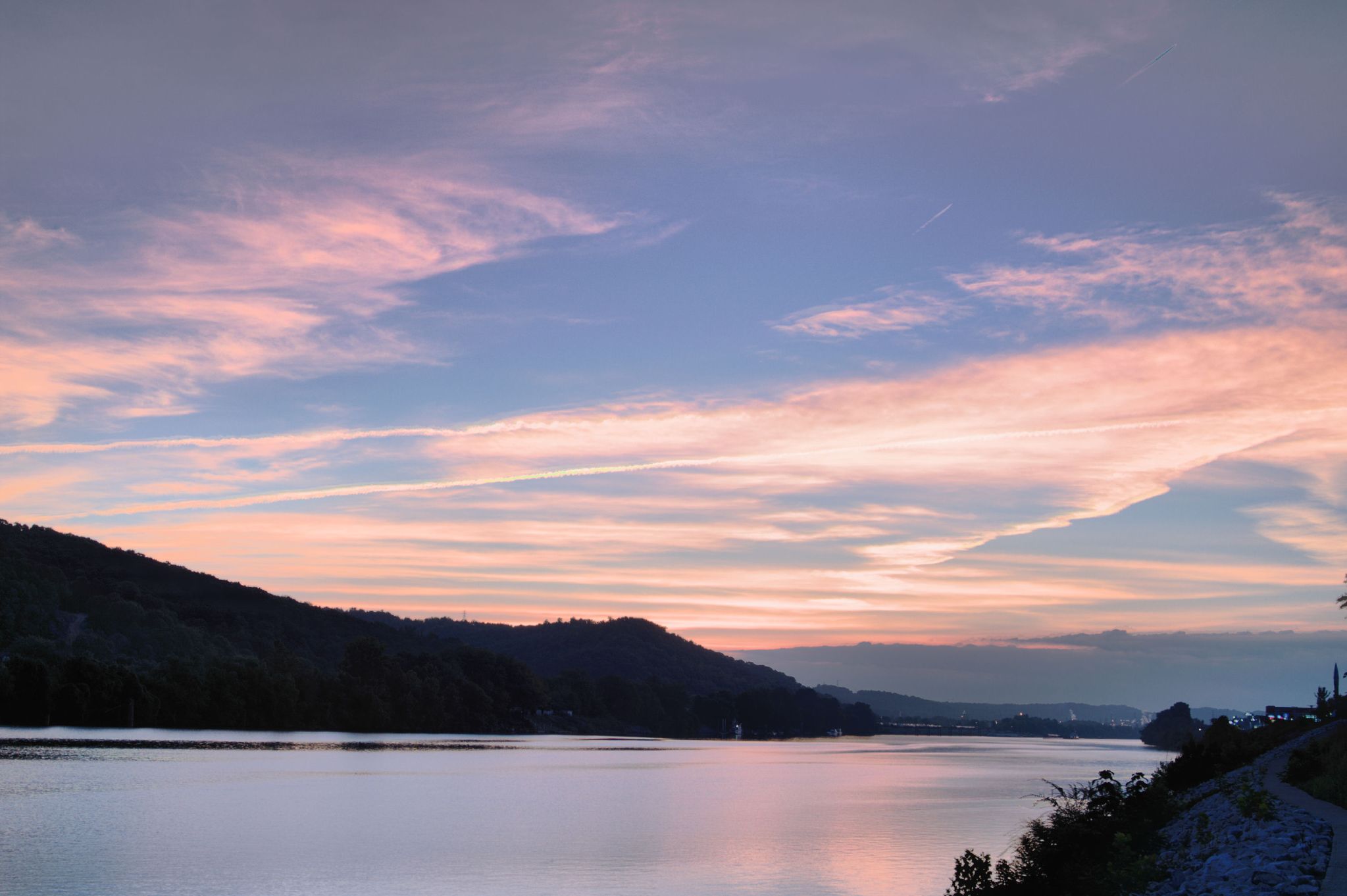
Skyporn Beautiful Sunset Getting In Touch at on the reliant kanawha river

Byng Dr. Sunset

Byng Dr. Sunset

Byng Dr. Sunset with Contrails
An Evening At The Power Plant

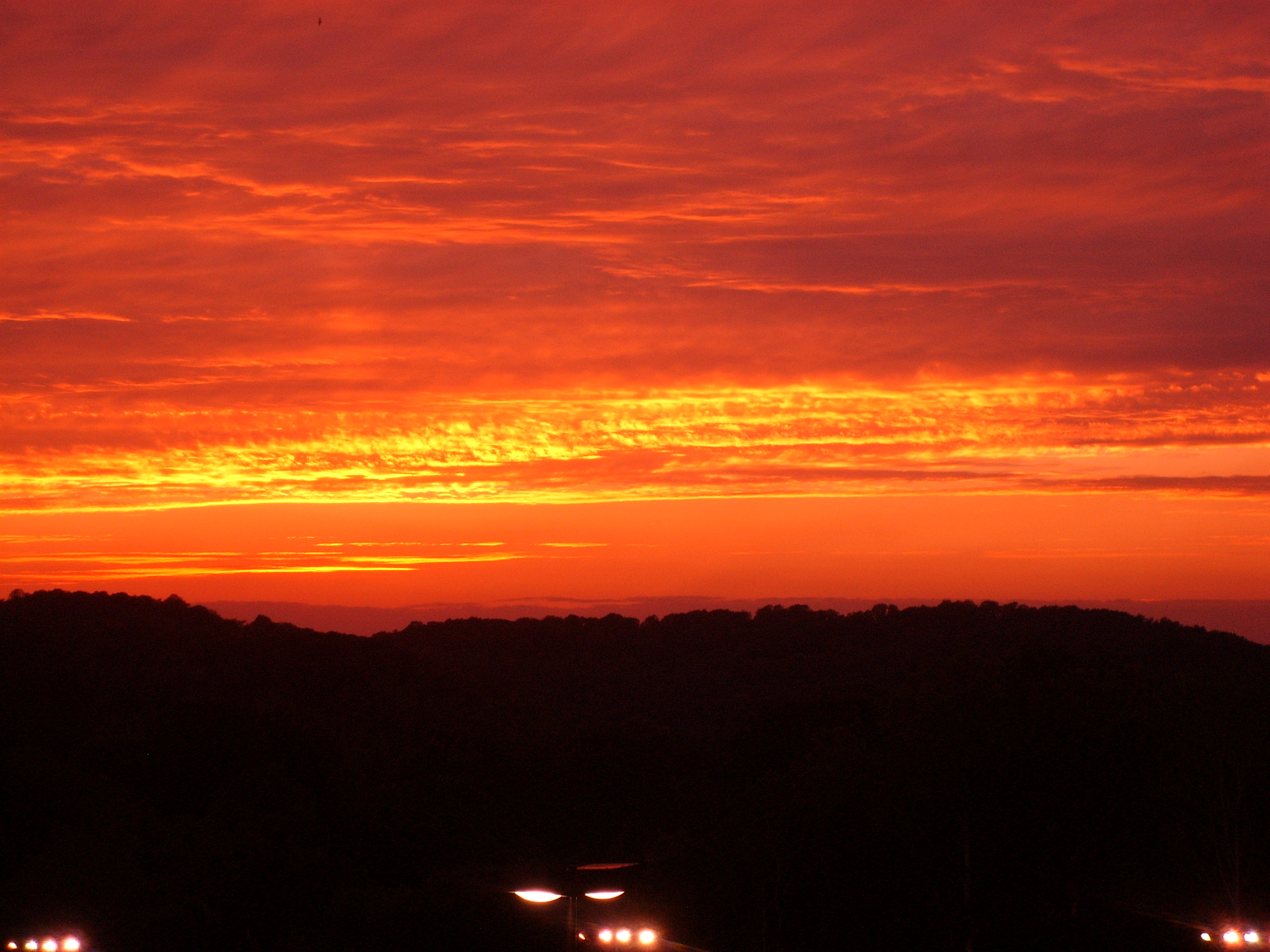
HDR #3
DSC_4937.JPG
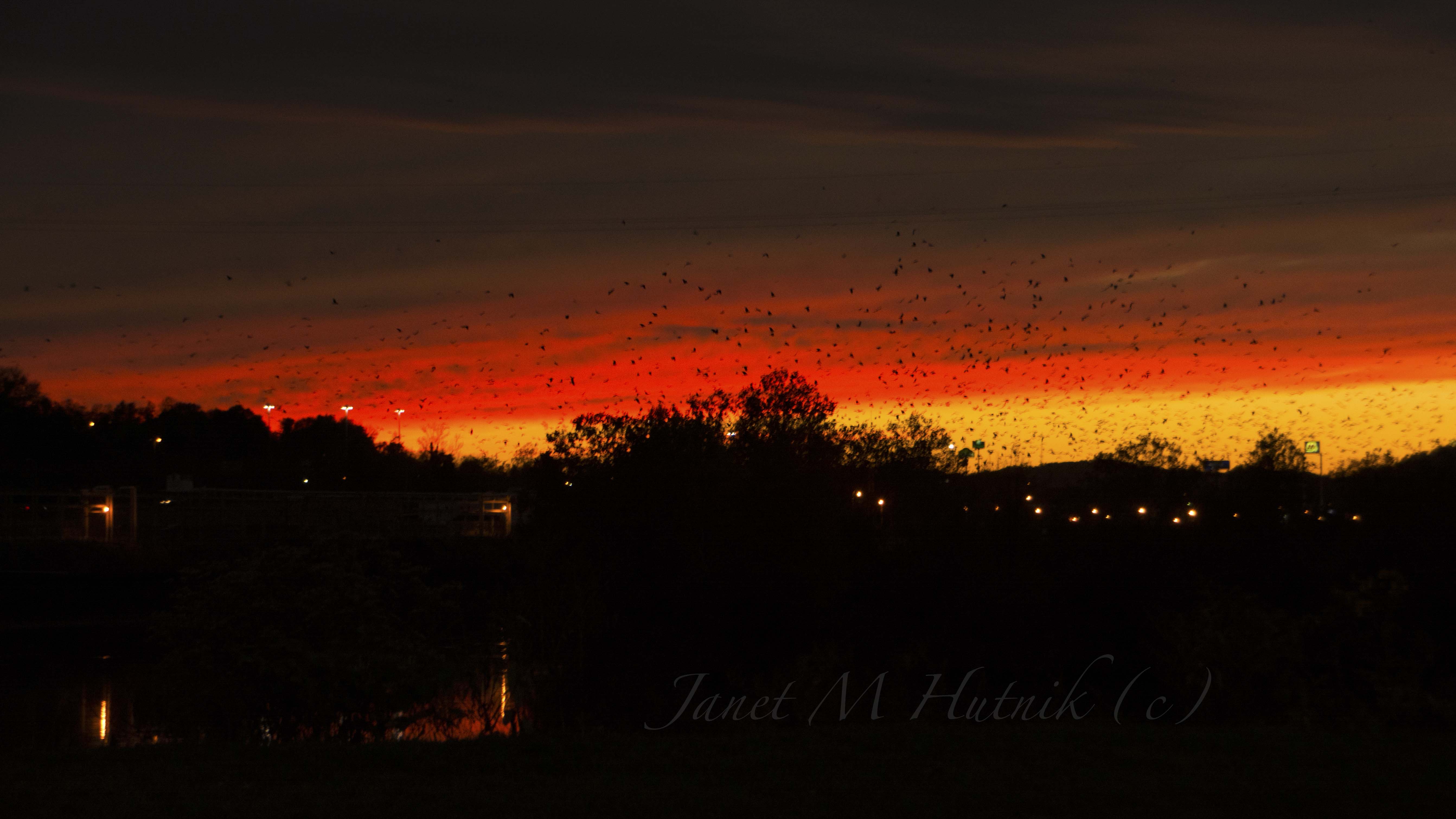
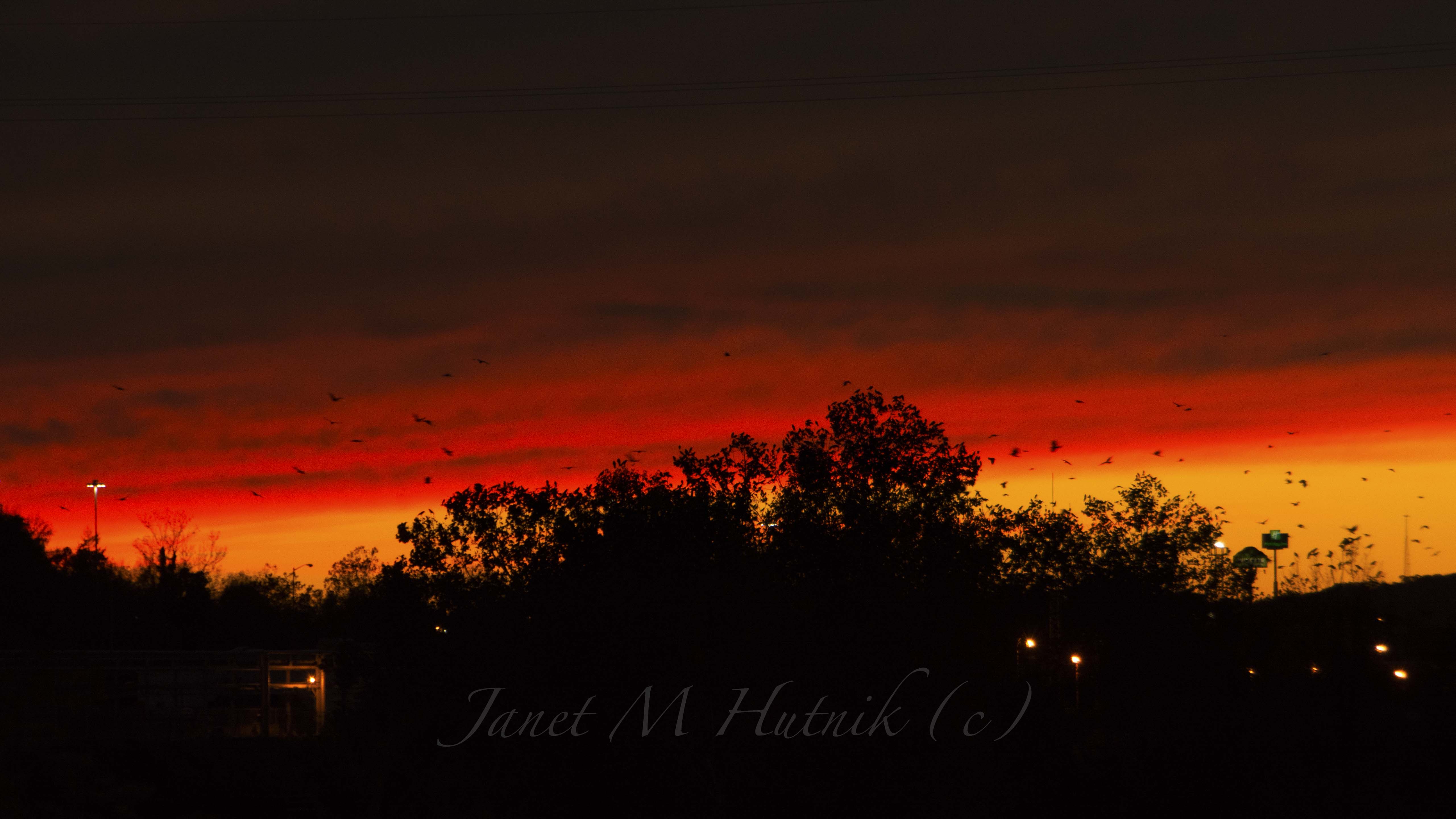
Taking Flight
When I admire the wonder of a sunset or the beauty of the moon, my soul expands in worship of the Creator.
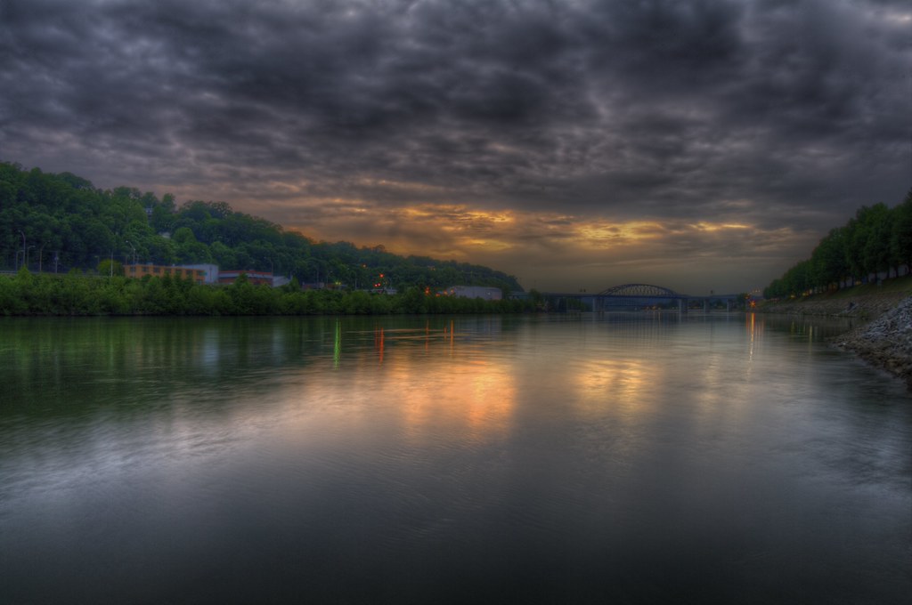
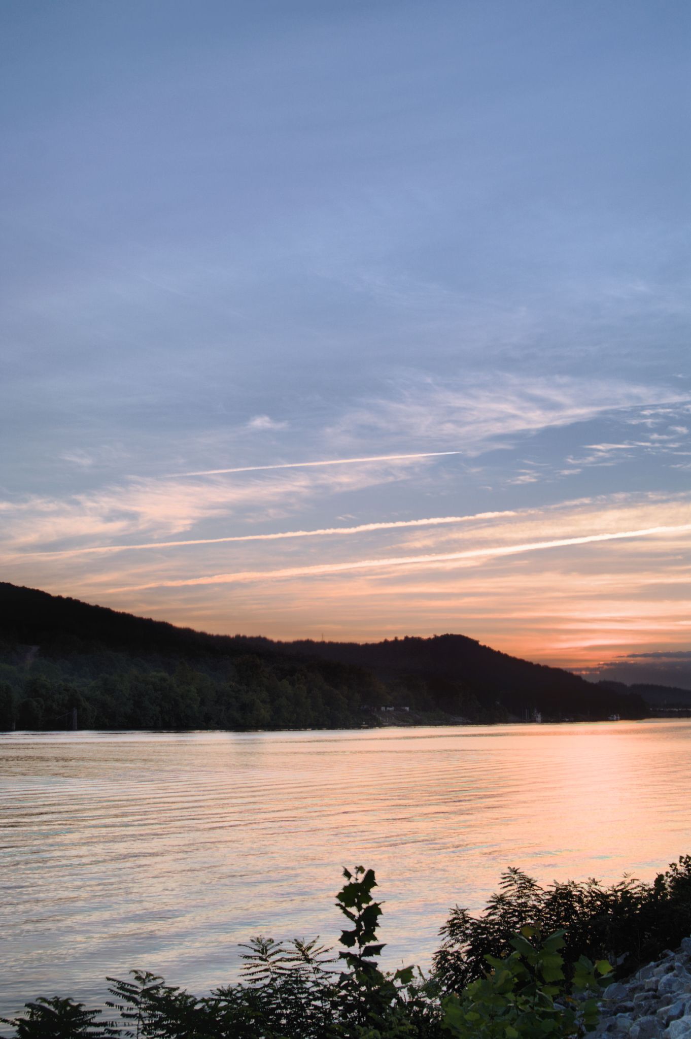
Sunset on the Kanawha
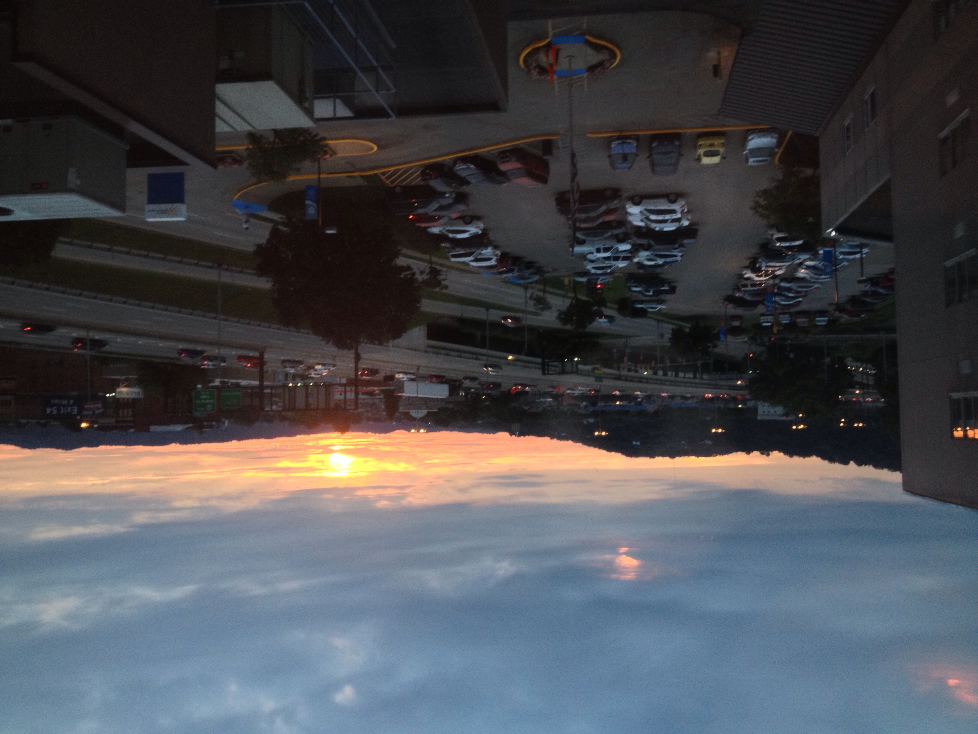
Sunset on a cloudy day at Women's & Children's Hospital
Beautiful start to the day #tlcastle #charleston #westvirginia #sunrise
HDR #5
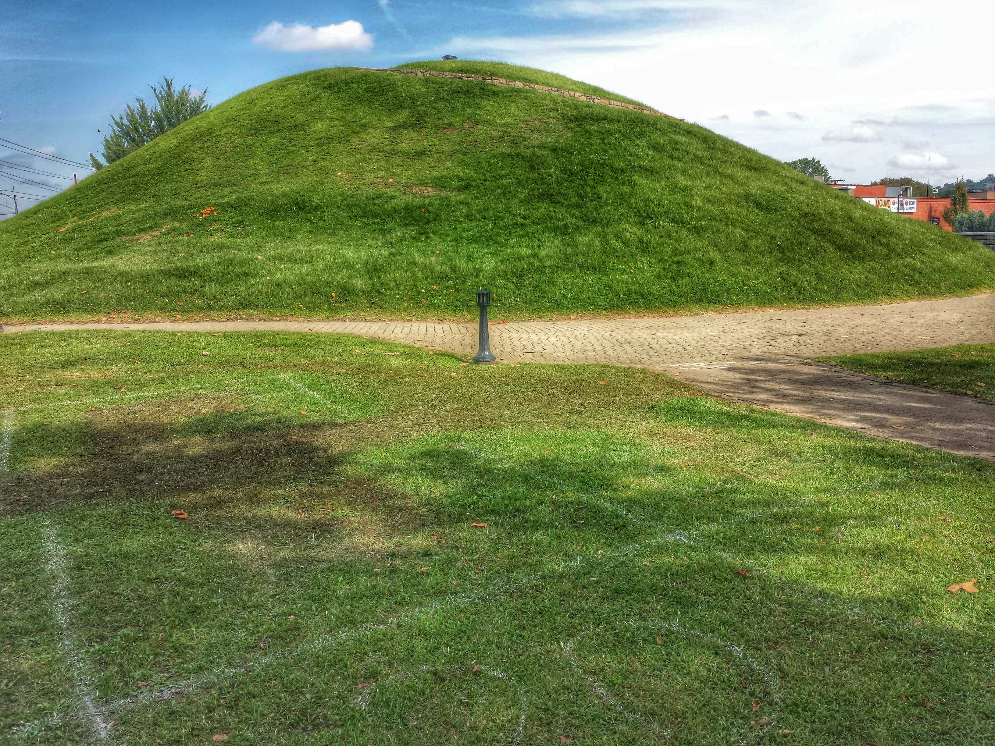
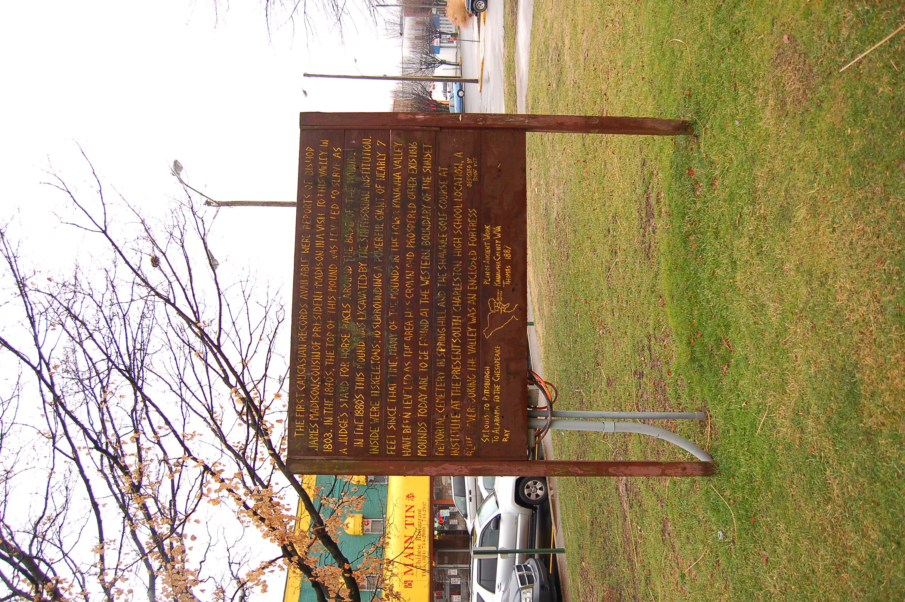
South Charleston Mound- South Charleston WV (5)
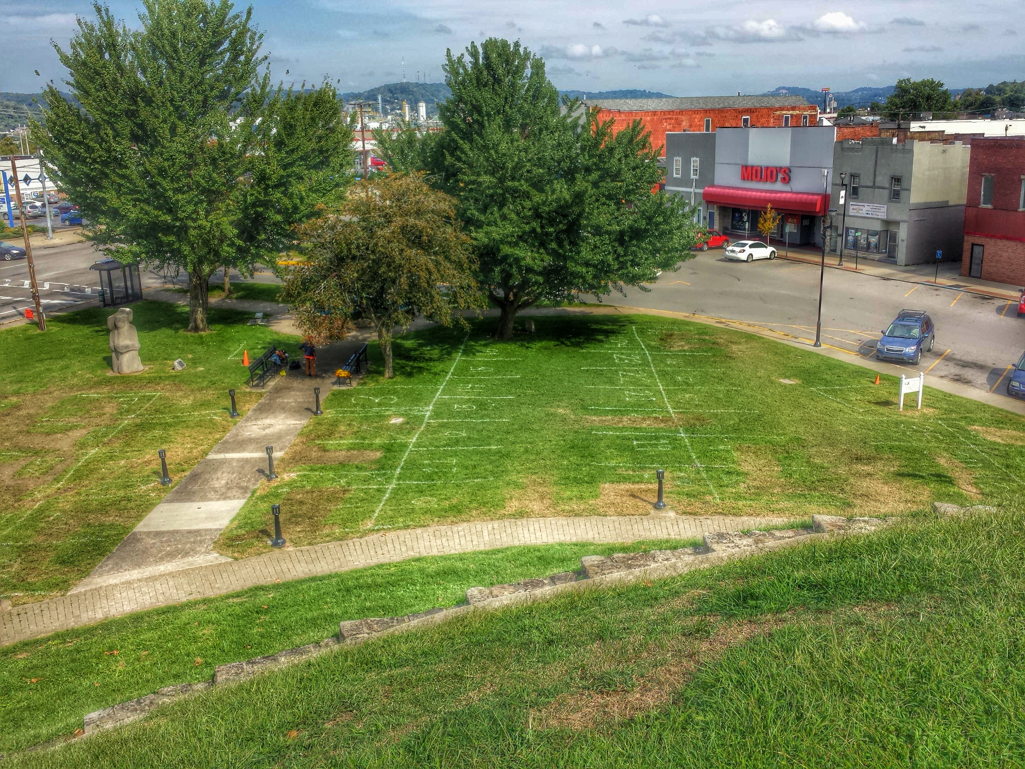
South Charleston Mound- South Charleston WV (7)
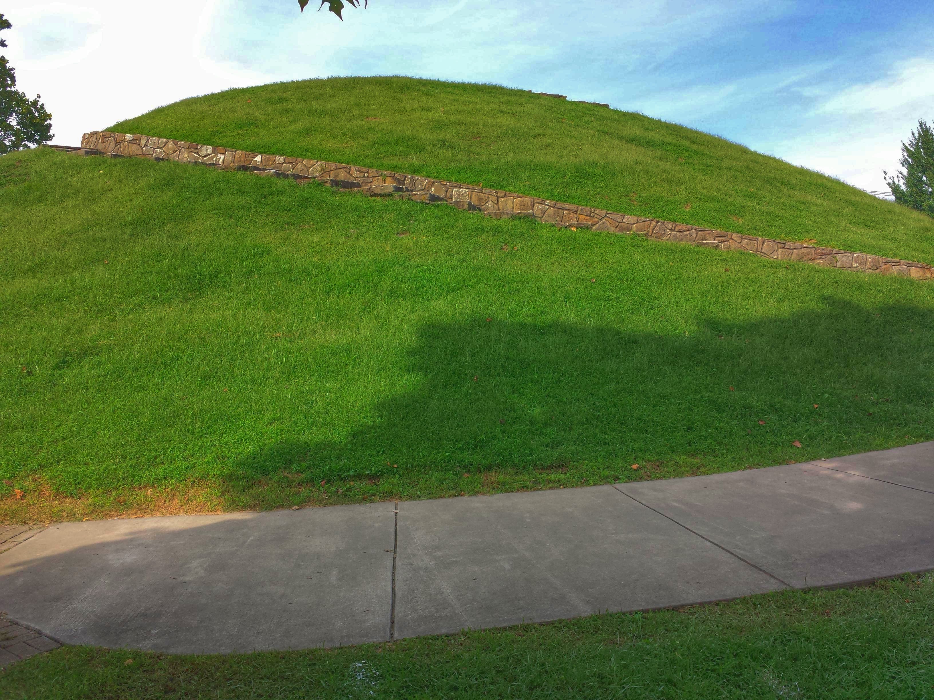
South Charleston Mound- South Charleston WV (3)

South Charleston Mound- South Charleston WV (2)
South Charleston Mound- South Charleston WV (6)

South Charleston Mound- South Charleston WV (4)
#NoFilter #DayBreak #Sunrise over St. Albans, West Virginia #wsaz @wsazbrandon
HDR #4
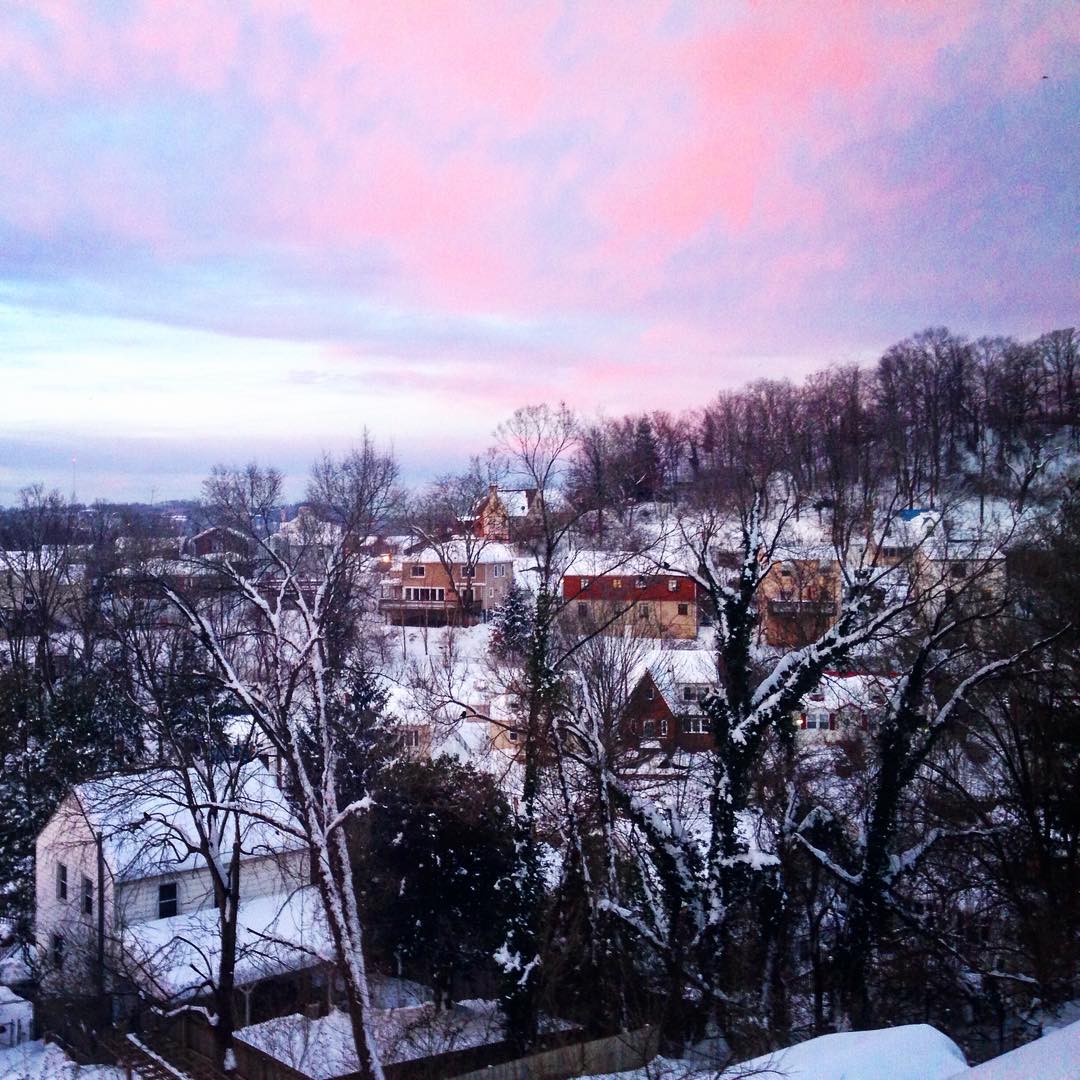
Beautiful #pink #sky this #morning in the #cityofedgewood #wv #charleston #morning #sunrise #city #edgewood
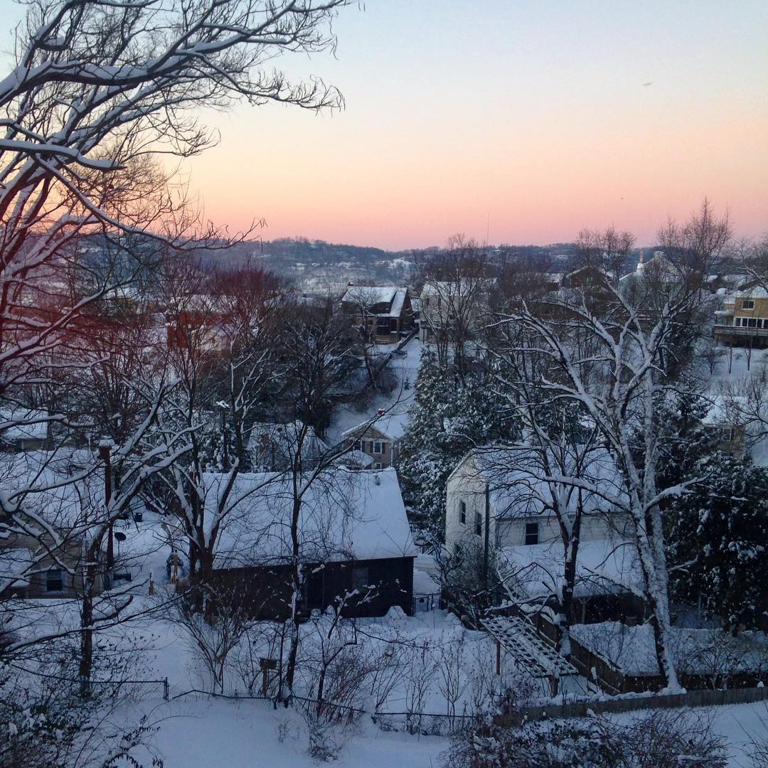
#sunrise #snow #charleston #wv #edgewood
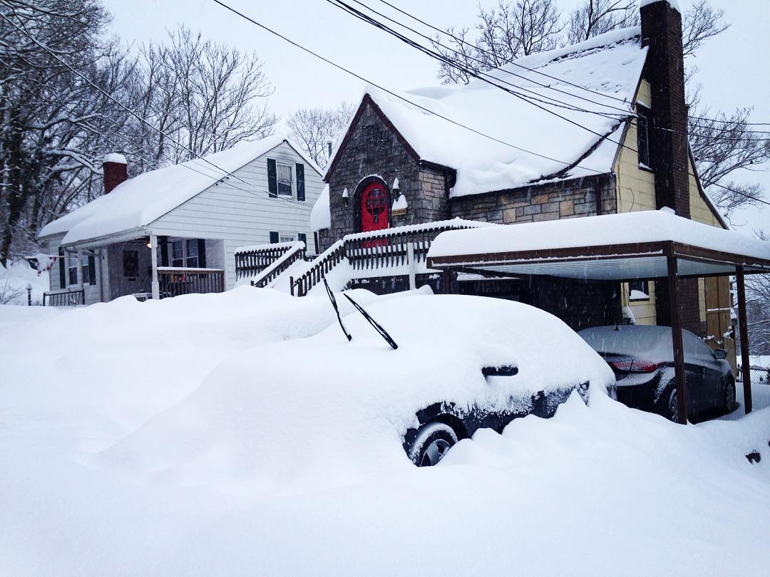
#westvirginia #zapada #charleston #home #house #edgewood #red #reddoor #snow #snowstorm #snowfun #sunrise
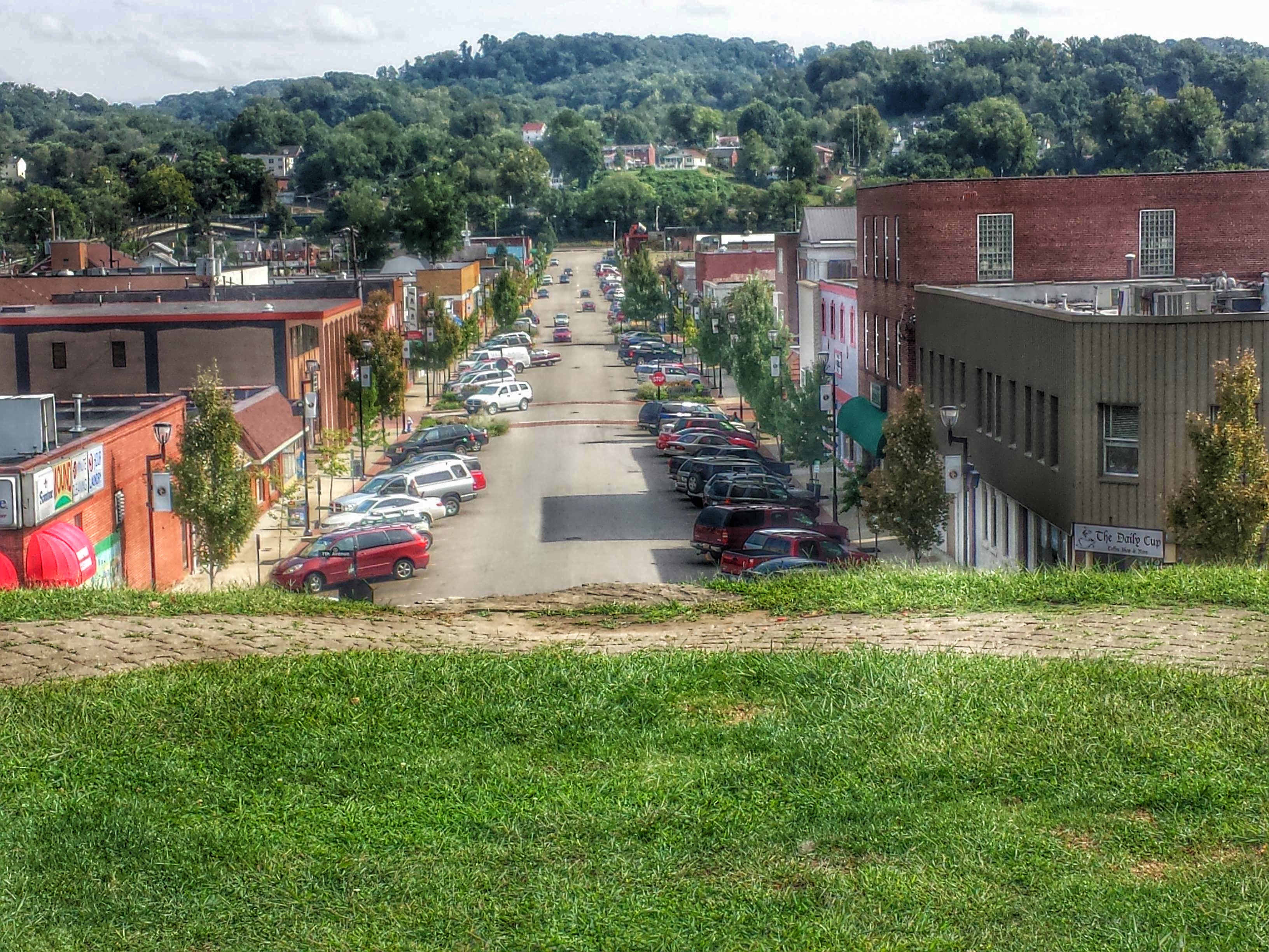
Charleston-7

Charleston-6

Charleston-1
アメリカ合衆国 〒 ウェスト・バージニア州 セント・アルバンズの地図
別の場所を検索
近所の場所
Highland Dr, St Albans, WV アメリカ合衆国
Washington Ave, St Albans, WV アメリカ合衆国
アメリカ合衆国 ウェスト・バージニア州 3
Lore St, St Albans, WV アメリカ合衆国
Riverbend Blvd, St Albans, WV アメリカ合衆国
7th St, Nitro, WV アメリカ合衆国
8 Hunter Dr, St Albans, WV アメリカ合衆国
アメリカ合衆国 ウェスト・バージニア州 ニットロ
アメリカ合衆国 ウェスト・バージニア州 トルネード
11 Goff Mountain Rd, Cross Lanes, WV アメリカ合衆国
アメリカ合衆国 ウェスト・バージニア州 クロス・レーンズ
Birch Ln, Nitro, WV アメリカ合衆国
24th St, Dunbar, WV アメリカ合衆国
Teays Valley Road, Scott Depot, WV アメリカ合衆国
Hollyberry Ln, South Charleston, WV アメリカ合衆国
Browns Creek Rd, St Albans, WV アメリカ合衆国
Mountain Dr, St Albans, WV アメリカ合衆国
Princess Dr, Charleston, WV アメリカ合衆国
アメリカ合衆国 〒 ウェスト・バージニア州 ダンバー
アメリカ合衆国 ウェスト・バージニア州 ポカ
最近の検索
- アメリカ合衆国 アラスカ州 レッド・ドッグ・マイン日の出日の入り時間
- Am bhf, Borken, ドイツアム・バーンホーフ日の出日の入り時間
- 4th St E, Sonoma, CA, USA日の出日の入り時間
- Oakland Ave, Williamsport, PA アメリカ合衆国日の出日の入り時間
- Via Roma, Pieranica CR, イタリアローマ通り日の出日の入り時間
- クロアチア 〒 ドゥブロブニク GradClock Tower of Dubrovnik日の出日の入り時間
- アルゼンチン チュブ州 トレリュー日の出日の入り時間
- Hartfords Bluff Cir, Mt Pleasant, SC アメリカ合衆国日の出日の入り時間
- 日本、熊本県熊本市北区日の出日の入り時間
- 中華人民共和国 福州市 平潭県 平潭島日の出日の入り時間